Mount Agassiz - June 1 2024
A p600 near Agassiz with no real trail, but some fun offroad driving on the way, and the hike is short and simple despite the lack of trail. Good for a rainy day IMO

Lillooet Range, Agassiz, British Columbia
962m
Once again, for the umpteenth weekend in a row, the weather near home was not very good for the weekend. After quite a few spent driving all over the Pacific Northwest (arguably even just "the west coast" given I went all the way to LA at once point), I decided to take it a bit easier on my gas budget, and only drive a couple hundred kilometres 😅. Since that didn't keep me out of the rain, I decided to keep it to below-snowline stuff that wasn't technical, so neither visibility nor dryness would be required. I noticed there are a couple of p600 peaks near Agassiz around 1000m high, I figured those would fit the bill nicely. I even managed to get a last-minute partner, Scott, who was accommodating enough of my "wake up whenever I wake up then leave" plan, which was pretty cool.
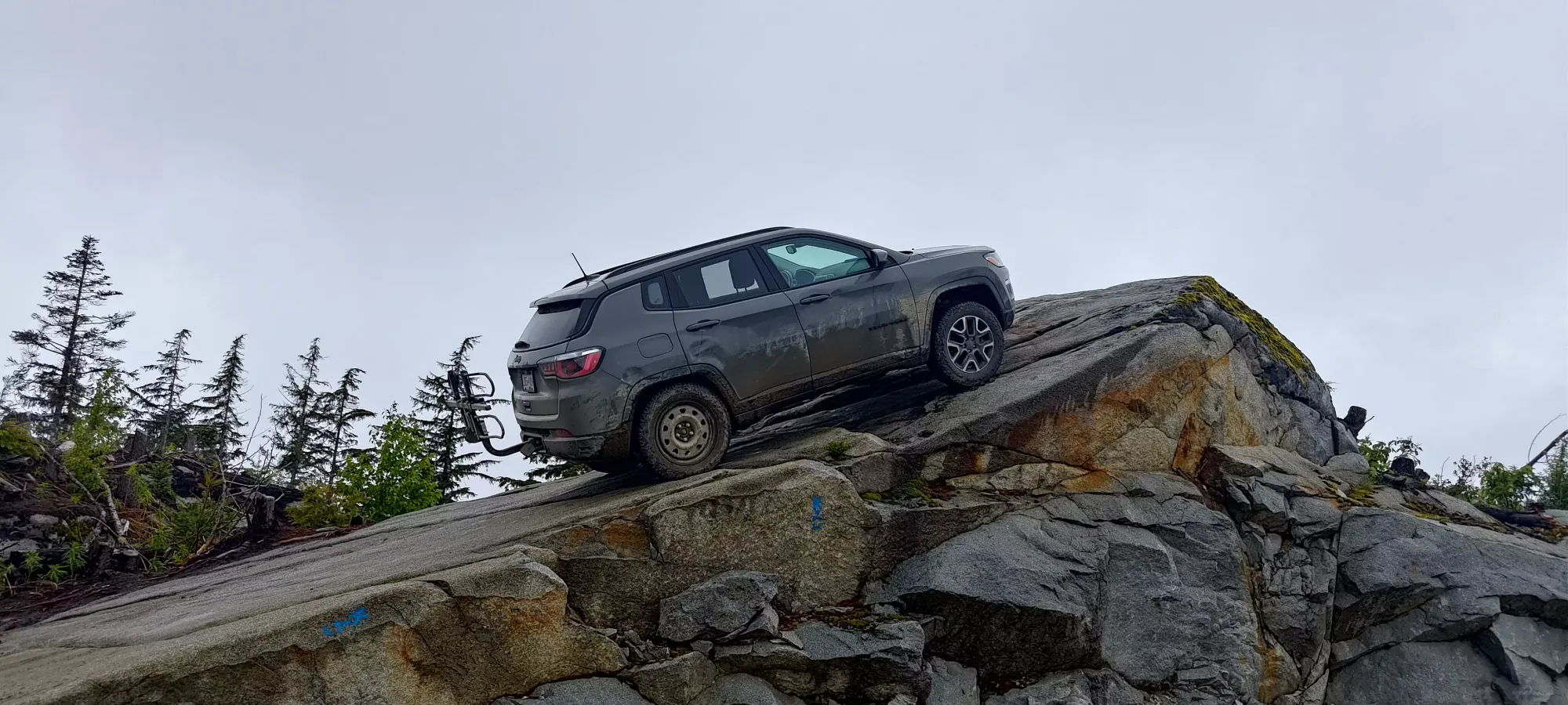
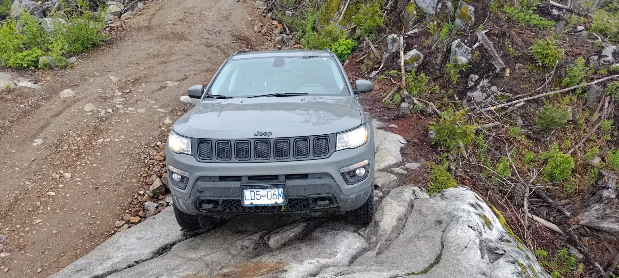
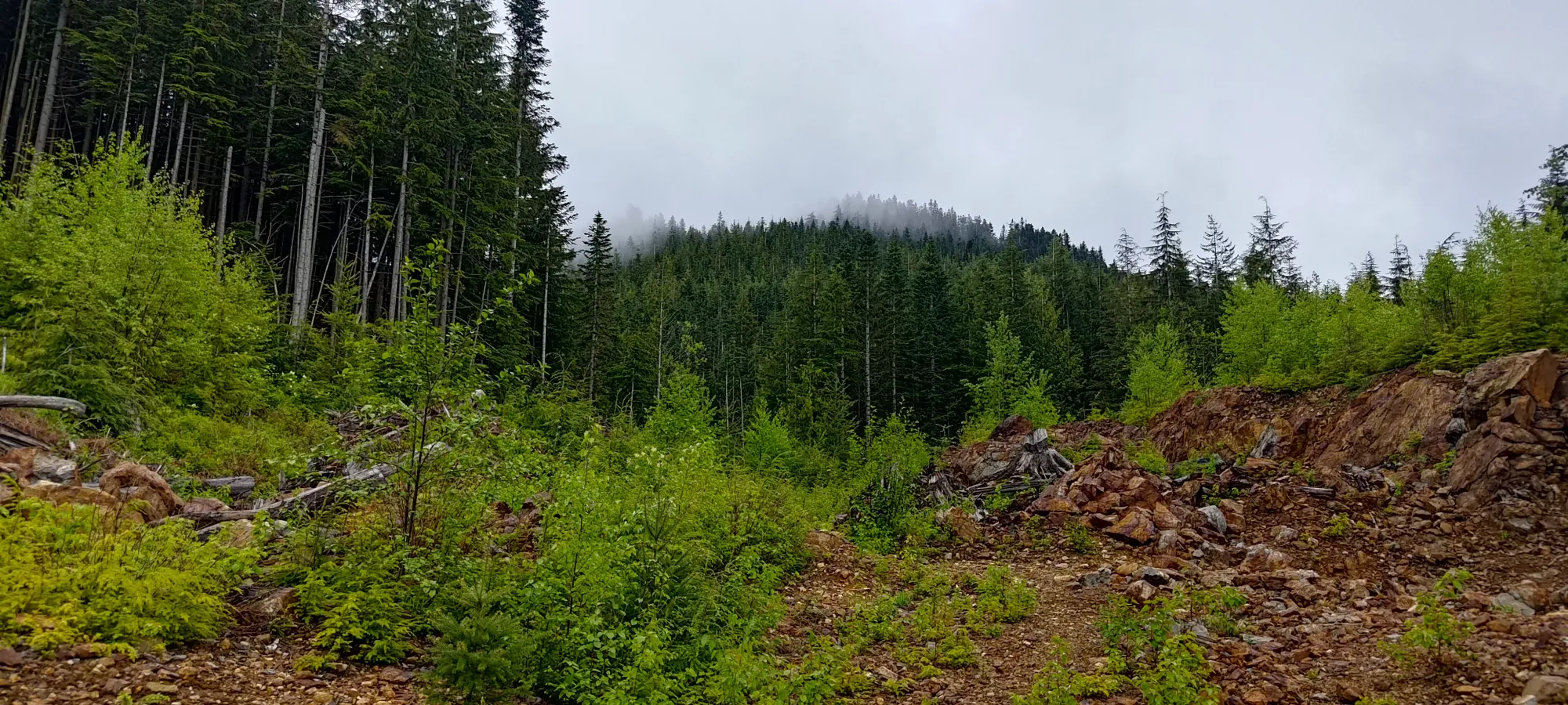
First up for the day was Mount Agassiz. After picking Scott up from the city in surprisingly mild traffic, we rolled onto the Mount Woodside FSR a bit after noon. I had my GPS set to Ramp Rock, a popular landmark in the local 4x4 community for cool pictures of your vehicle perched on a steep, ramp-like (shocking, I know) outcropping to the side of the road, near the top of the mountain. The road is 2wd friendly until after the fork one would take for Mount Woodside (the fork for which, sadly, seems to be barricaded at the moment, for those interested in that), but after that some medium-sized water bars and a washout that I had to try a couple lines on to get through made it solidly "AWD high clearance to get by, 4WD to get through smoothly".
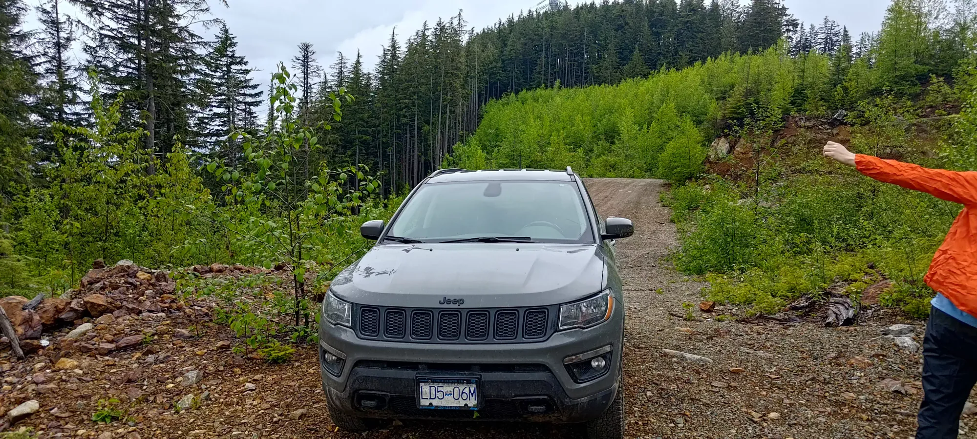
Once we were up above 750m, though, things got smooth again, and we drove past our eventual trailhead to Ramp Rock (note the Google Maps location is not accurate for the actual location, I believe Open Street Maps has it, though). I got up pretty high, though on my second attempt, I think using more speed bit me in the butt, and I had to brake harder to stop, and slid back probably a bit lower than the first time, which was unfortunate since that was when we took pictures.
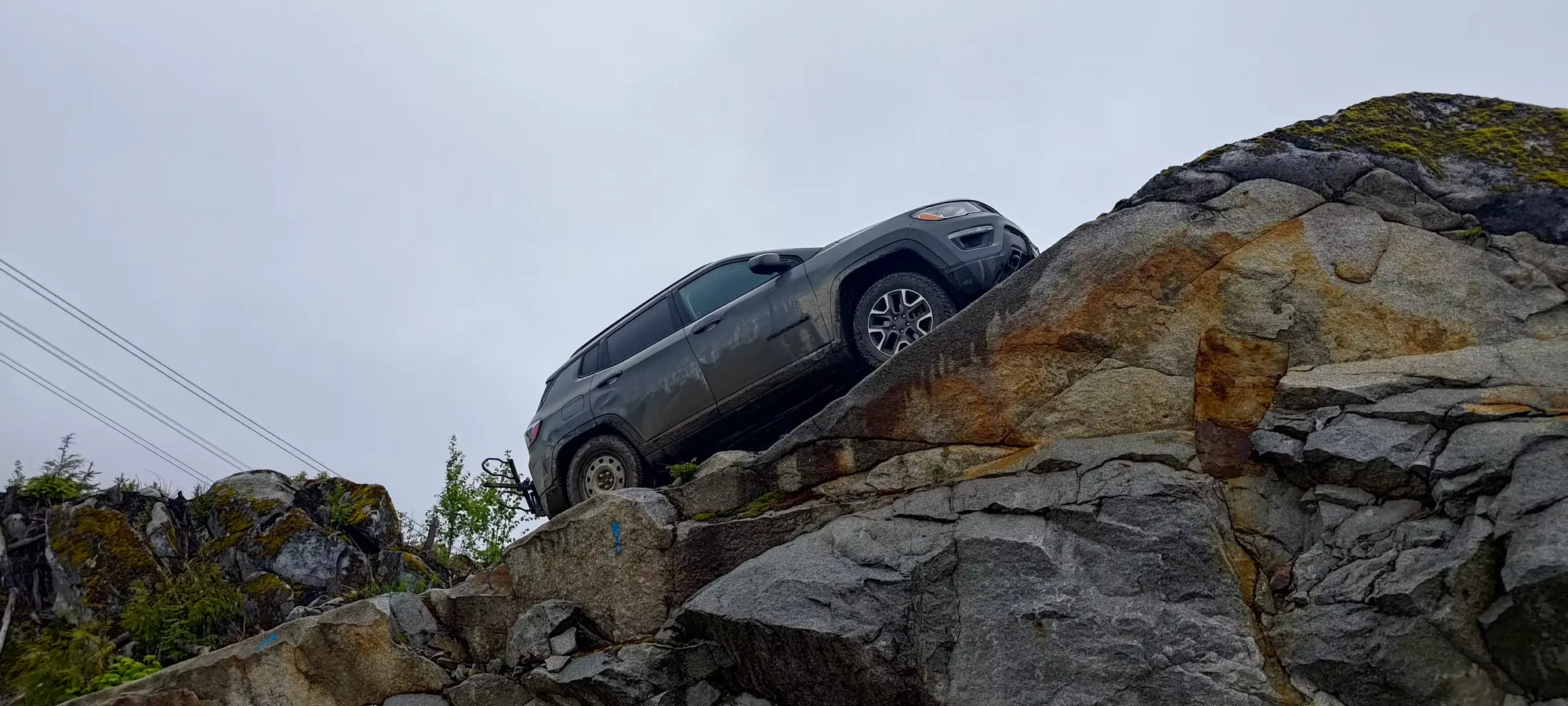
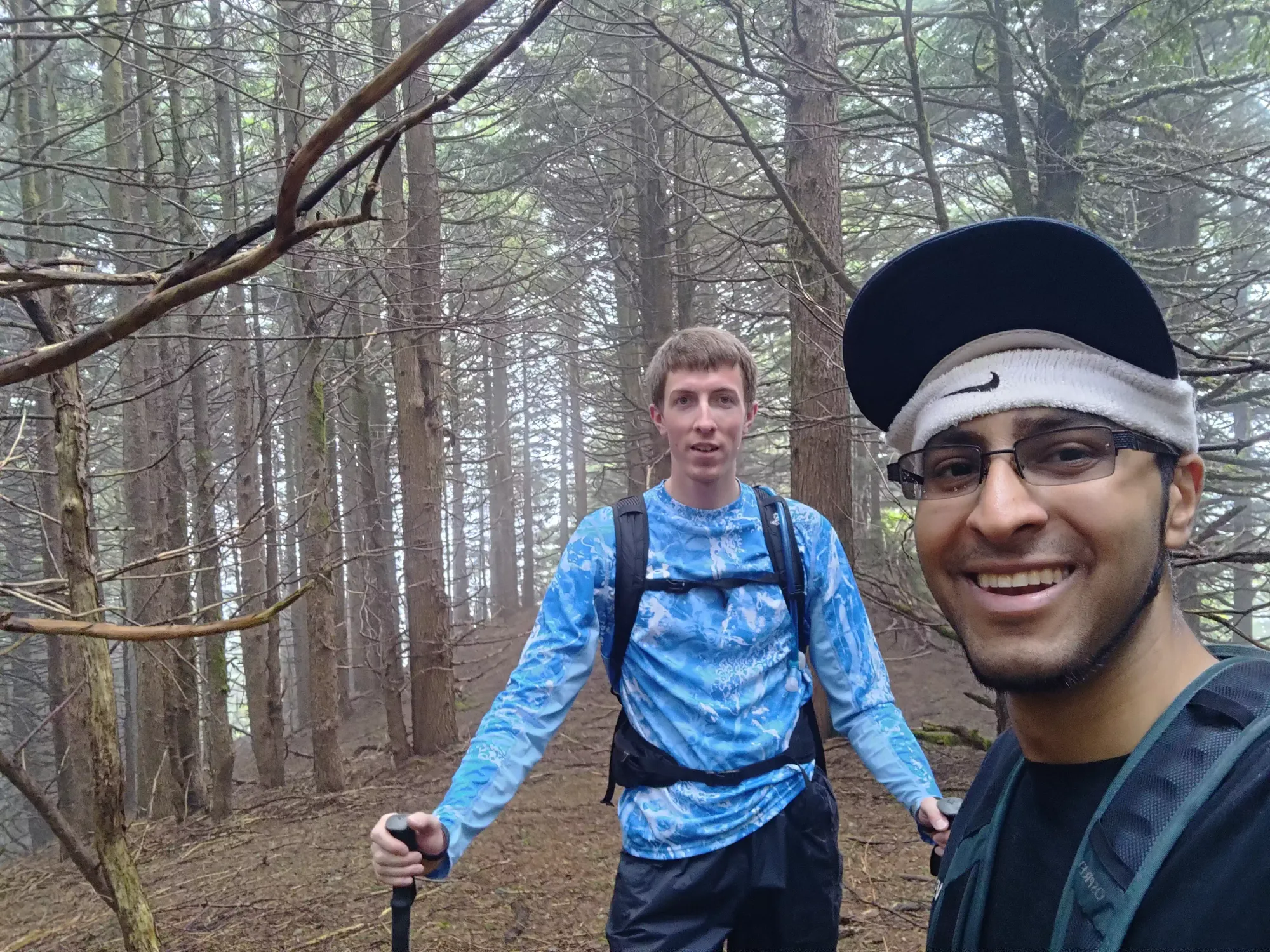
Oh well, though, the 4WDABC memes were still satisfied 🙂. With that out of the way, we determined the best place to park would be just before the fork between where Google said to go for Ramp Rock, and the actual spur we took, as there was a pull-off with space for a few cars, on the summit side of the road, about as high as you can drive. We geared up, guesstimated a bearing to head on, as we had some beta, but not starting at this spot, and not "on a trail" anyways, and got moving at 1:07pm.
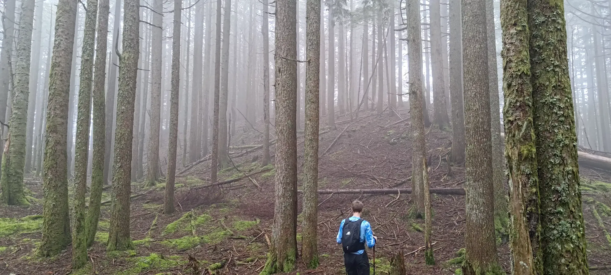
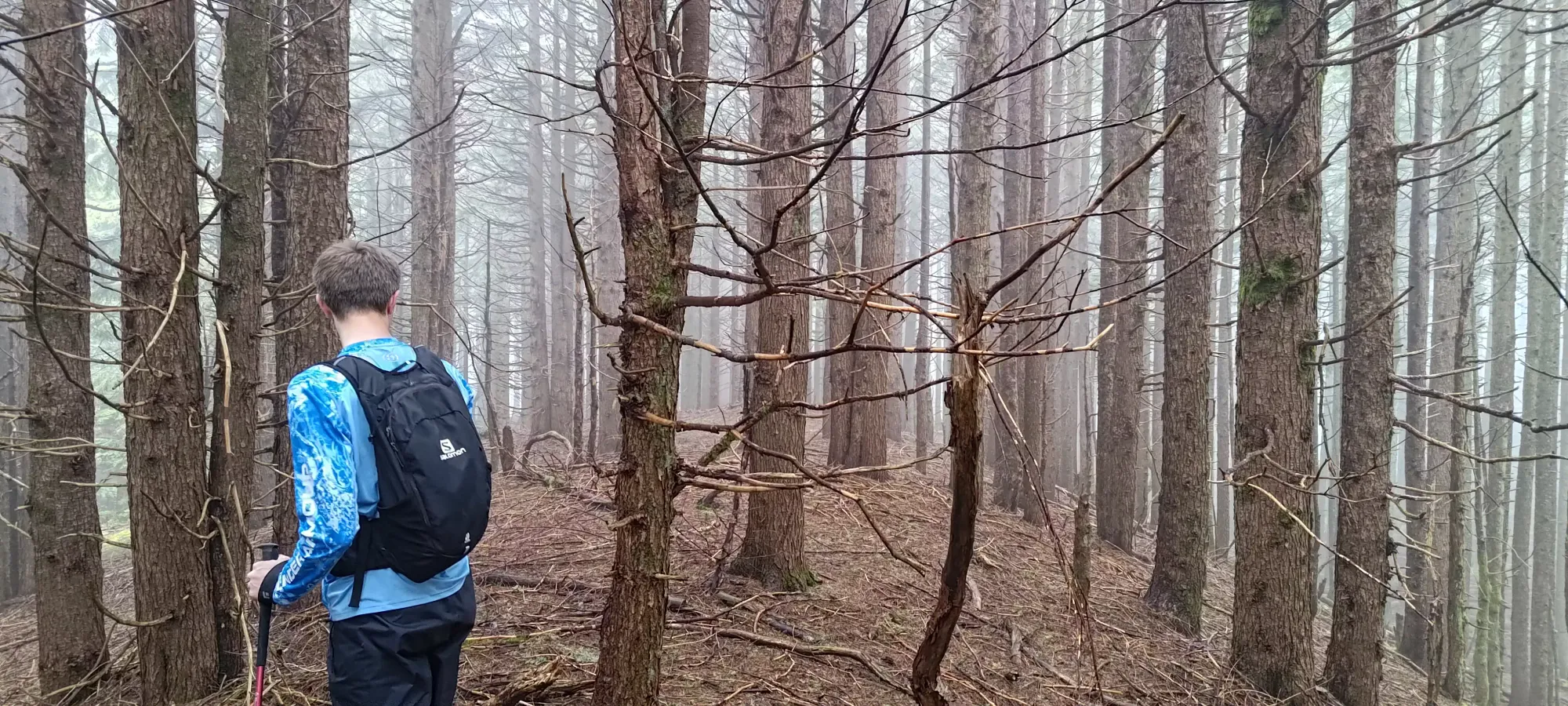
The first couple minutes of the walk were not particularly pleasant, as one has to walk through some wet/swampy ground with slippery fallen logs to get into the forest. Thankfully, it was only a couple minutes, and we then arrived at the edge of the forest, which welcomed us with minimal bush and nicely-spaced trees!

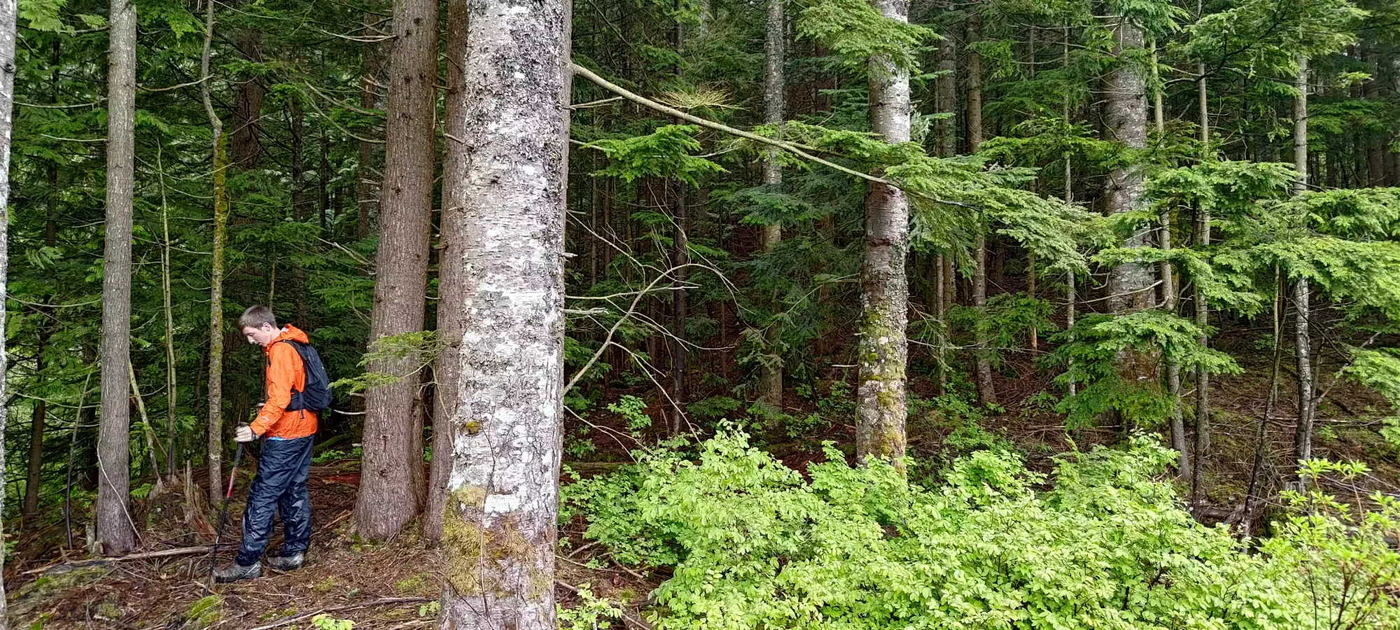
After about 20 minutes of decently-paced hiking, we gained from our ~800m starting elevation up above 900m, which given the somewhat-frequent checks to ensure our random forest wandering was going in a useful direction, and the extra difficulty of walking "not on a trail", wasn't bad at all. This was about half the distance, but about 2/3 of the elevation, so we already had most of the hard work out of the way in this first punch up.
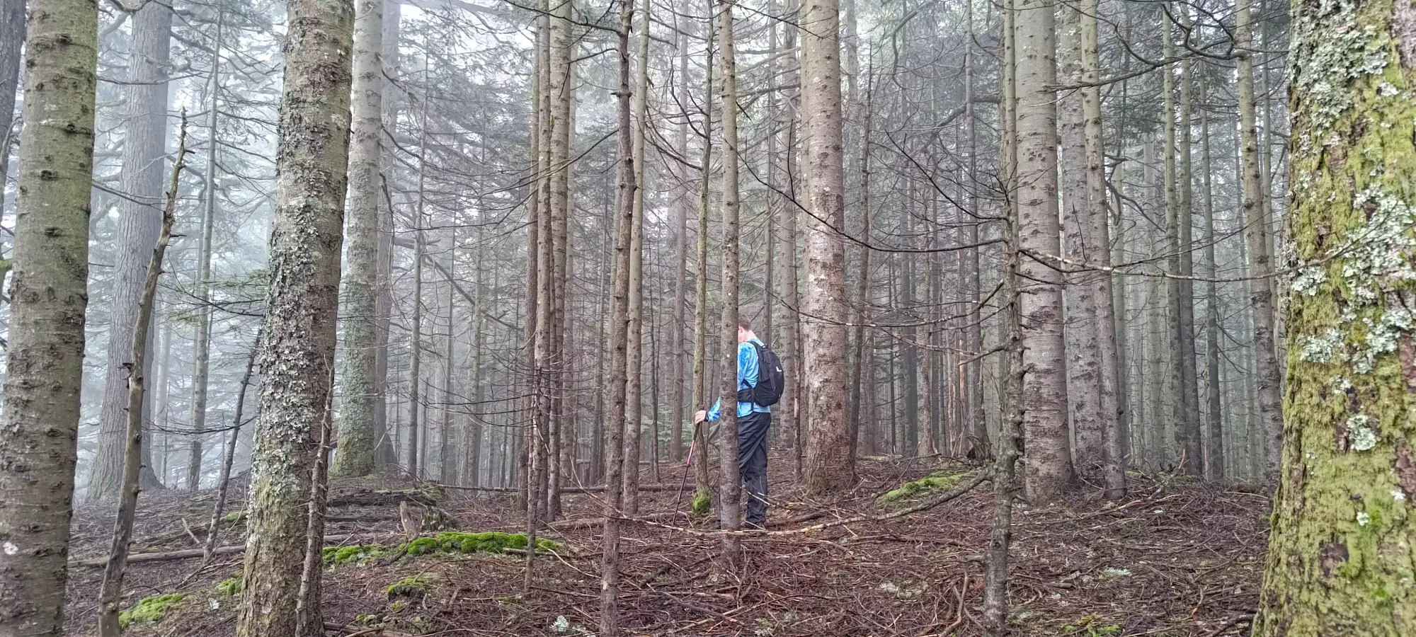
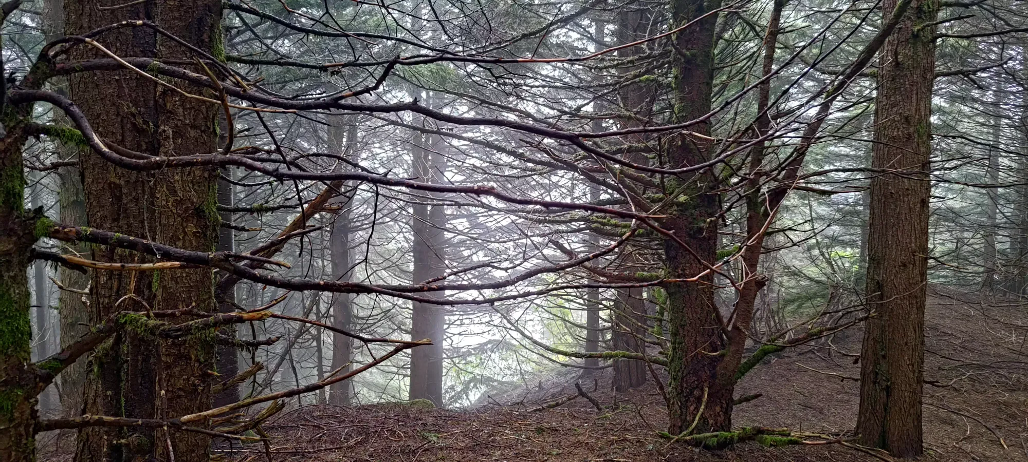
Once we were up on this ridge, the navigation got easier, as it was basically just "walk along it until you got to the summit marker on the map" 😅. We found a viewpoint by the marked summit on most maps, but of course, given the weather, we saw absolutely nothing there.
Since some maps had a summit indicated deeper in, we decided to be thorough and press on. In the vicinity of that summit indicator (Alltrails and Garmin's topo maps have this further marker), we found a few candidates for the highest bump, so we walked on a few, until we were satisfied that our bases were covered. This thoroughness made our car→summit time about 35 minutes, but at least we can be pretty damn sure we got to the top 😄
On the way back, we made sure to tag the highest point of the summit marked on Peakbagger and the BC Basemap just to be sure we got it (didn't bother on the way in, as we were focused on heading to the furthest point our maps had marked), then picked our way down. We followed some blue flagging for a lot of the route, but lost it a few times, so YMMV. Near the start of the ridge, there was a bit of a visible trail, but definitely not throughout the entire walk. After all our summit-area shenanigans, we took about 25 minutes to actually hike ourselves out, making this just over an hour round-trip. Not bad for a p600!
That being said, this is a pretty nothing hike with pretty nothing views (at least for us). The drive is fun, though, and Ramp Rock is kinda cool, so if you like offroading, I'd say this is worth a visit. Of course, if you like bagging prominent peaks, then you should bother as well. But for those who just want a cool hike, this ain't really it. Both Scott and myself DO like gathering prominent summits, though, so we were quite pleased, and ready to kick off our second objective of the day, Bear Mountain, so we packed up and headed out with haste.
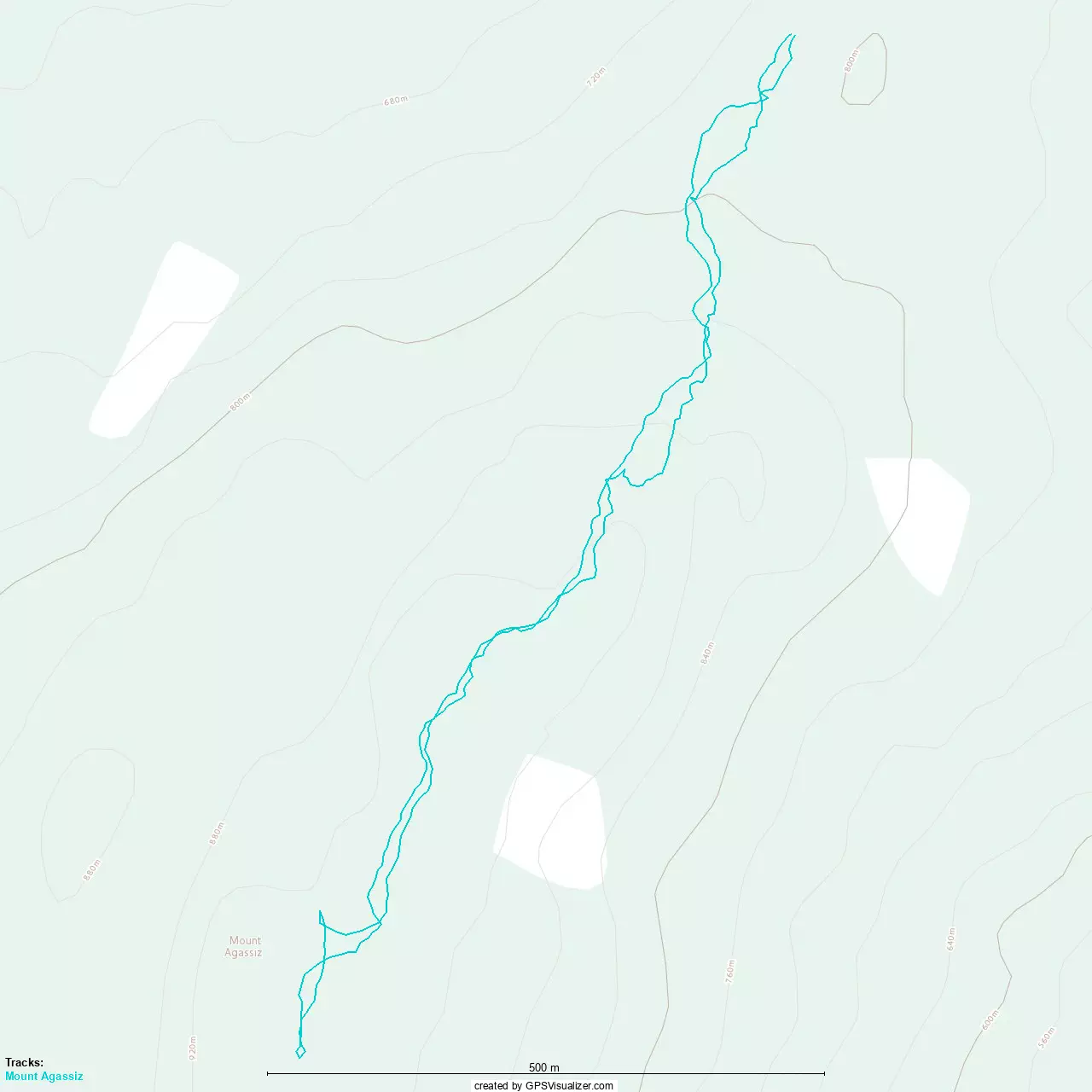
GPX Track + Map