Mount Adams (Washington) - June 1 2025
A classic ski descent, this cascade volcano is the second-highest major summit in Washington State, boasts over 2000m of prominence, and a ski descent of the same vertical from its summit! Definitely not one to miss

Mount Adams Area, Gifford Pinchot National Forest, Washington State
3743m
After making my way down the day prior, tagging a couple peaks on the way, I slept (briefly) in The Dalles (Hood River was surprisingly expensive!), and made my way up to the South Climb Trailhead for Mount Adams on the morning of June first. I have failed to summit this mountain a couple times, the first just being "too early" and not being able to get even near the trailhead, the second making it to Piker's Peak, but having my group want to turn around, so that was just a ski day. This time, I was fit, solo, and I knew the road was driveable, so I was determined to finally get this thing done!
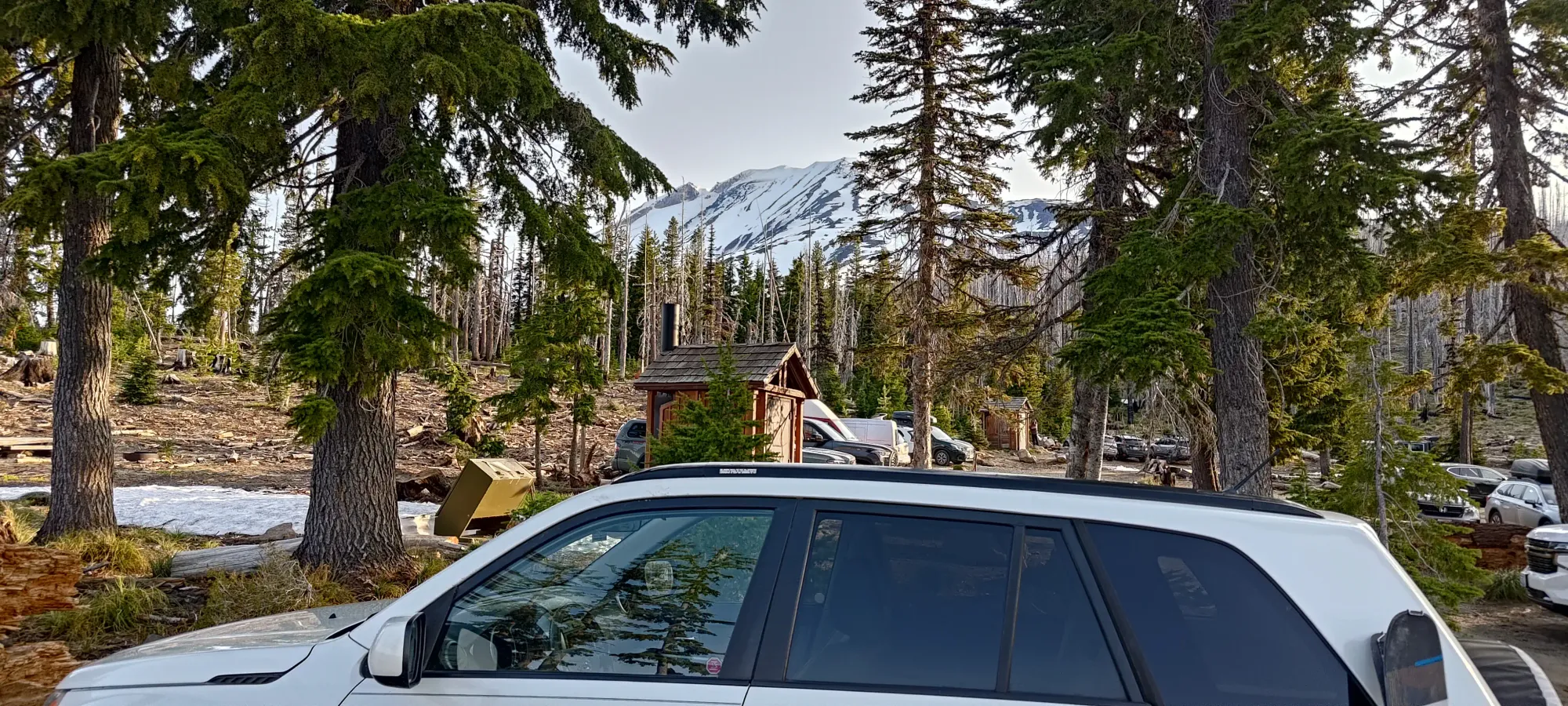
I woke up reasonably early, but managed to at least get some sleep. That resulted in me rolling in to the trailhead at around 6:30am, with the sun having risen, and there already being an absolute swarm of vehicles parked 😅. Thankfully I'm not scared of getting creative with my parking spot, so I got a good one nice and close to the trailhead. I geared up, and got hiking at 6:40am, with skis in my hand and boots on my feet, hoping that the continuous snow would not be far away.
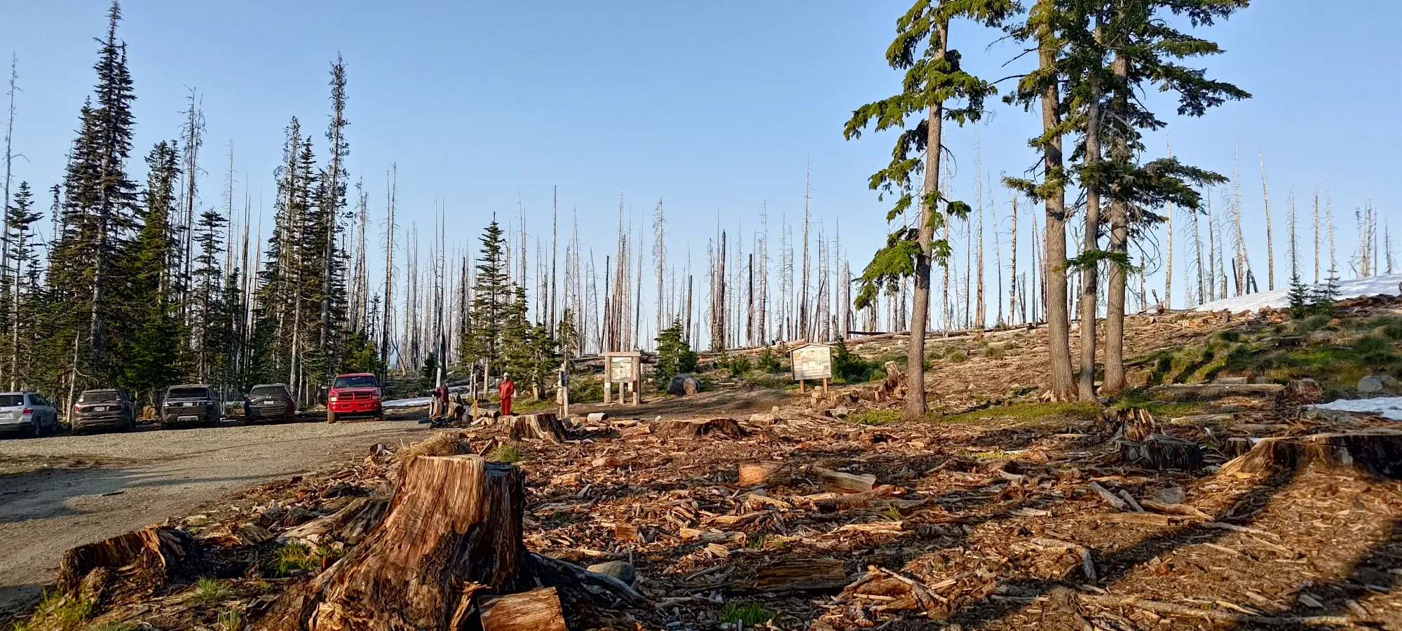
The first bit of trail is actually just an old road, which if the gate didn't exist, would totally be driveable. Since it was, I was forced to walk, and did so for about 1.6km, until around 1850m, where the snow looked continuous, so I slapped my skis down and hopped in, glad to be going up the more civilised way 😅. Only ~20 minutes of hiking ain't bad.
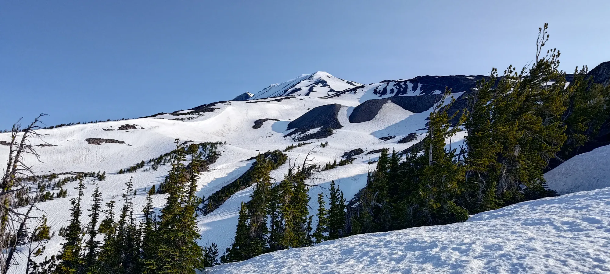
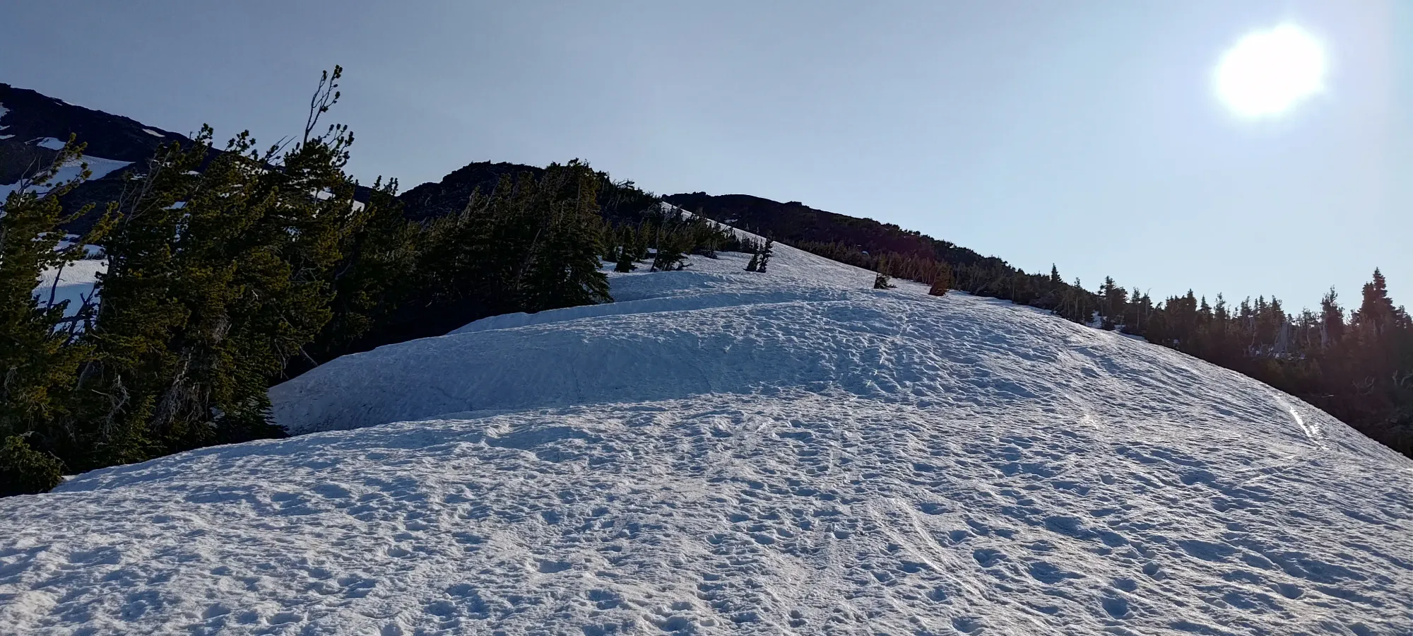
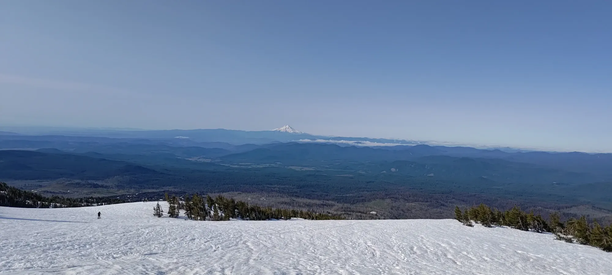
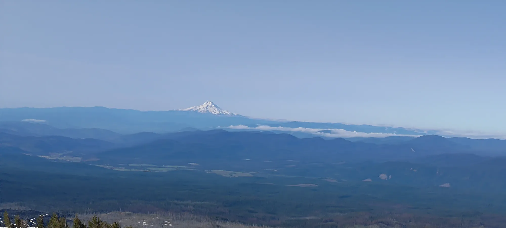
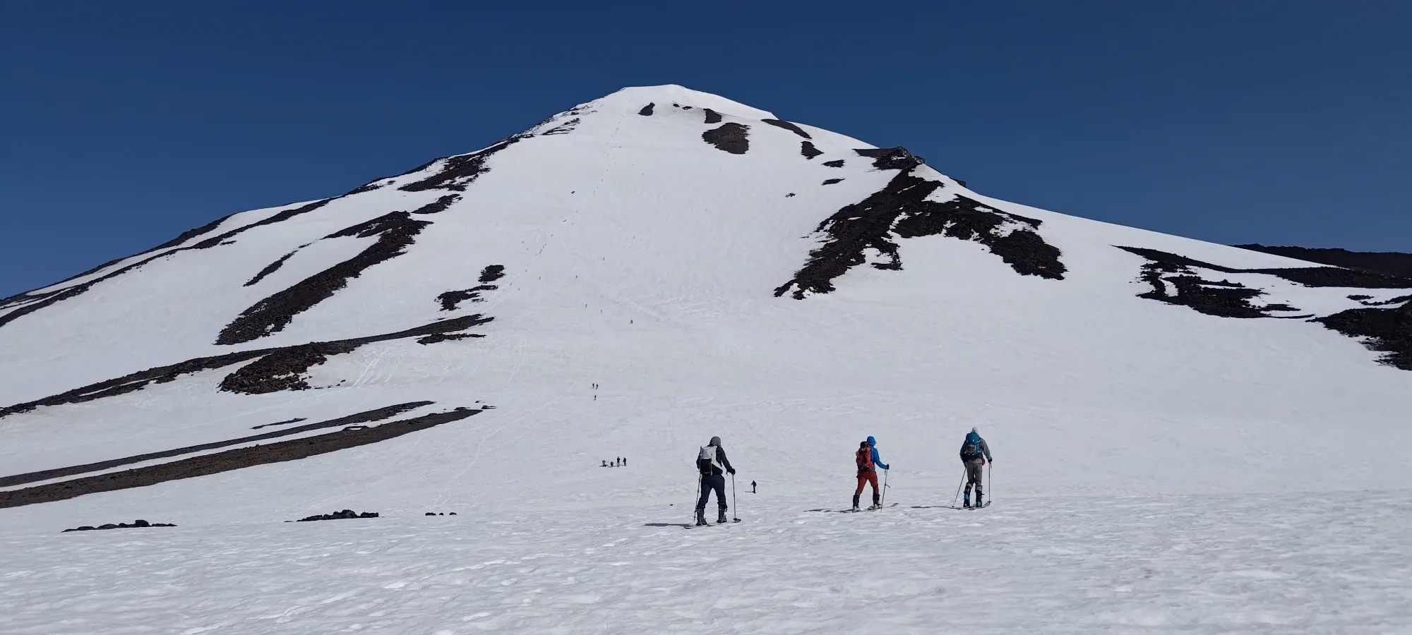
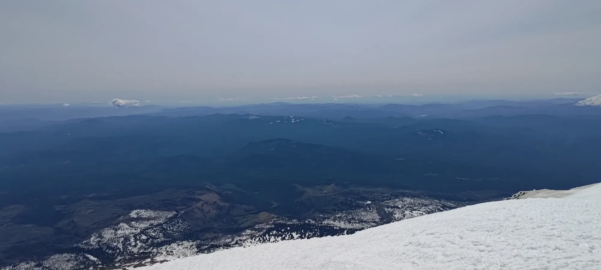
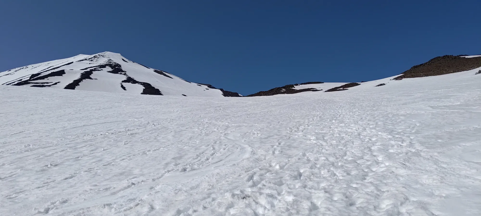
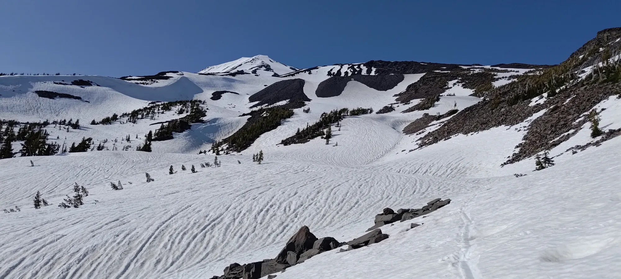
The snow was, of course, quite firm, but I was able to skin without ski crampons, at least, and with plenty of spring melt-thaw cycles, it was well-settled, and breaking trail was a non-issue. There were tracks all over the place, but I just intuited my way up the terrain that made sense for the vast majority of the ascent to the Lunch Counter. There was enough snow coverage to make that work, and you can see most of the mountain as you're walking up, and so can make fairly-informed decisions (having been there once before also helped).
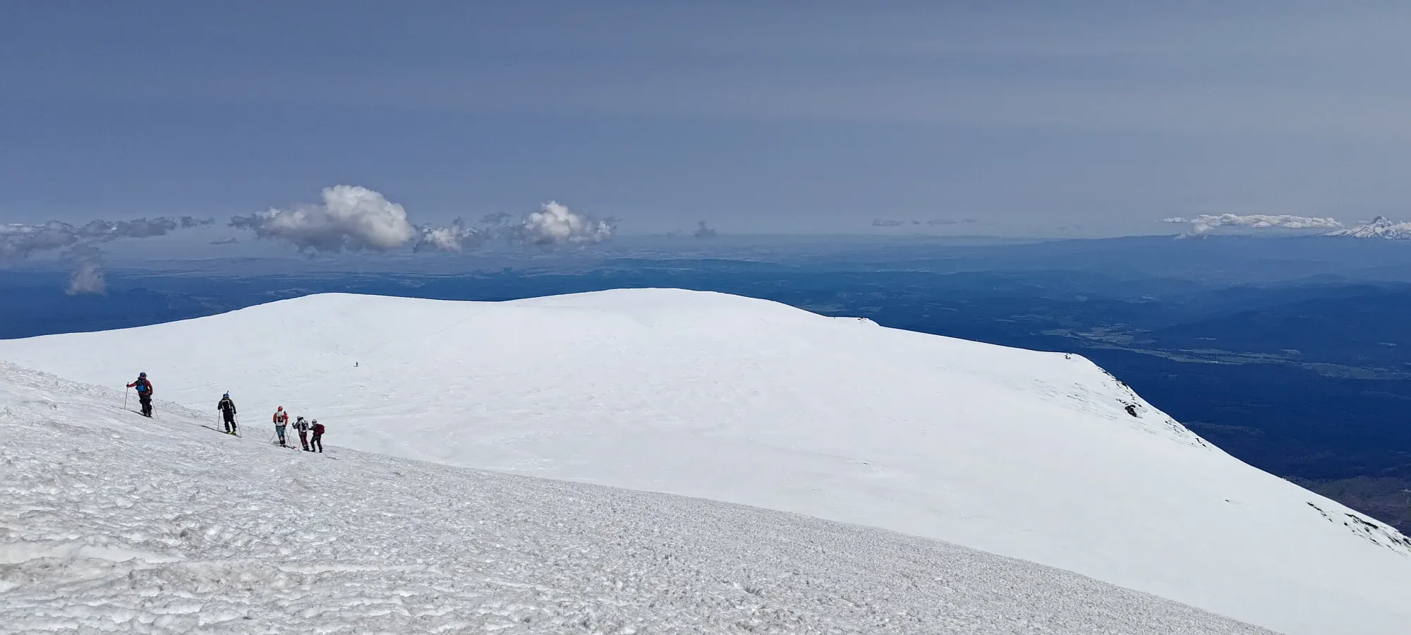
Along the way, I had to make a couple decisions to pick one drainage or the other in the expansive terrain, hoping to keep myself on snow, but my choices seemed to work out alright. Those choices seemed perhaps uncommon at the start, as I couldn't see many people, but as I approached the small downclimb (~2350m), I merged closer to the more typical routes, and encountered a few parties. We had some fun conversation, but I didn't stick with anyone for the entire ascent, as I was moving pretty well in this first bit, and passed a decent few parties on the way up.

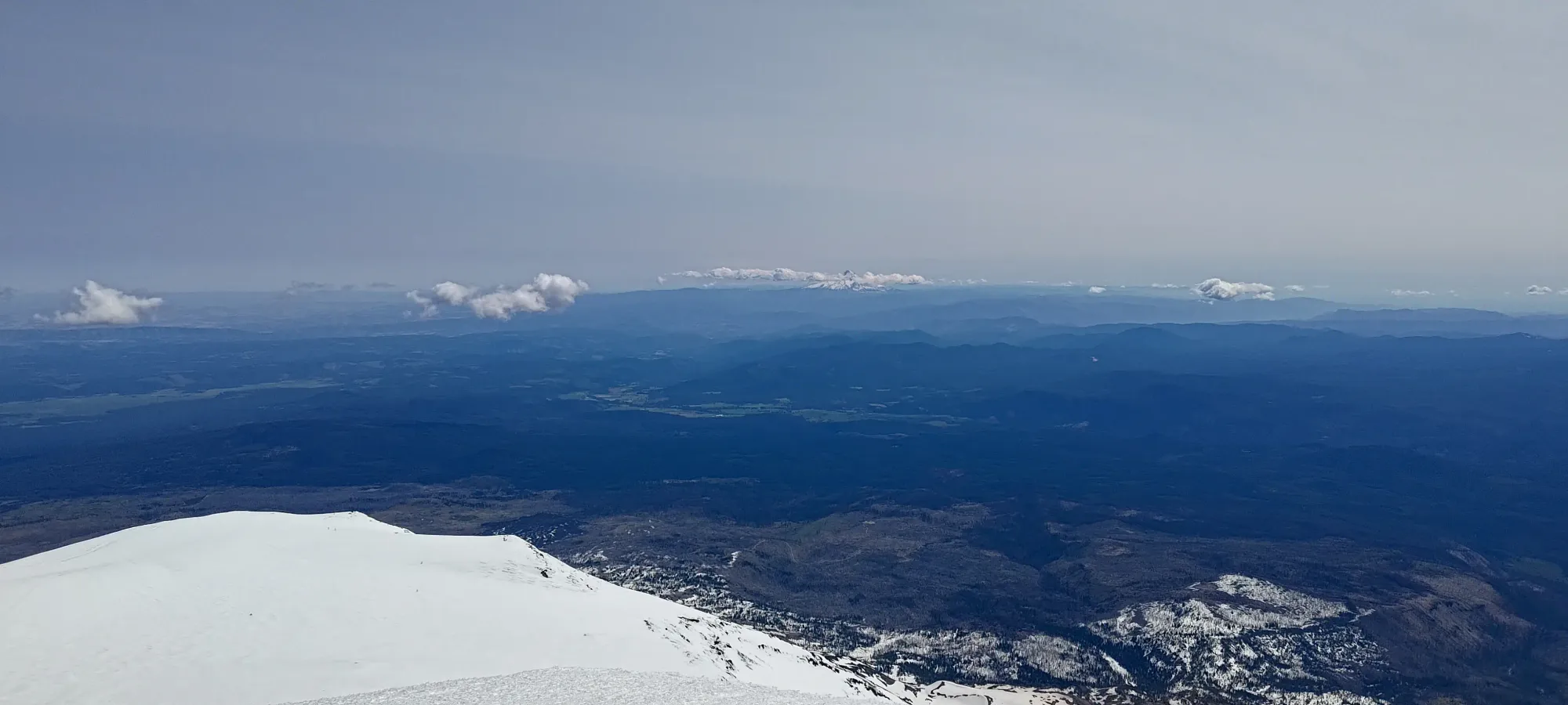
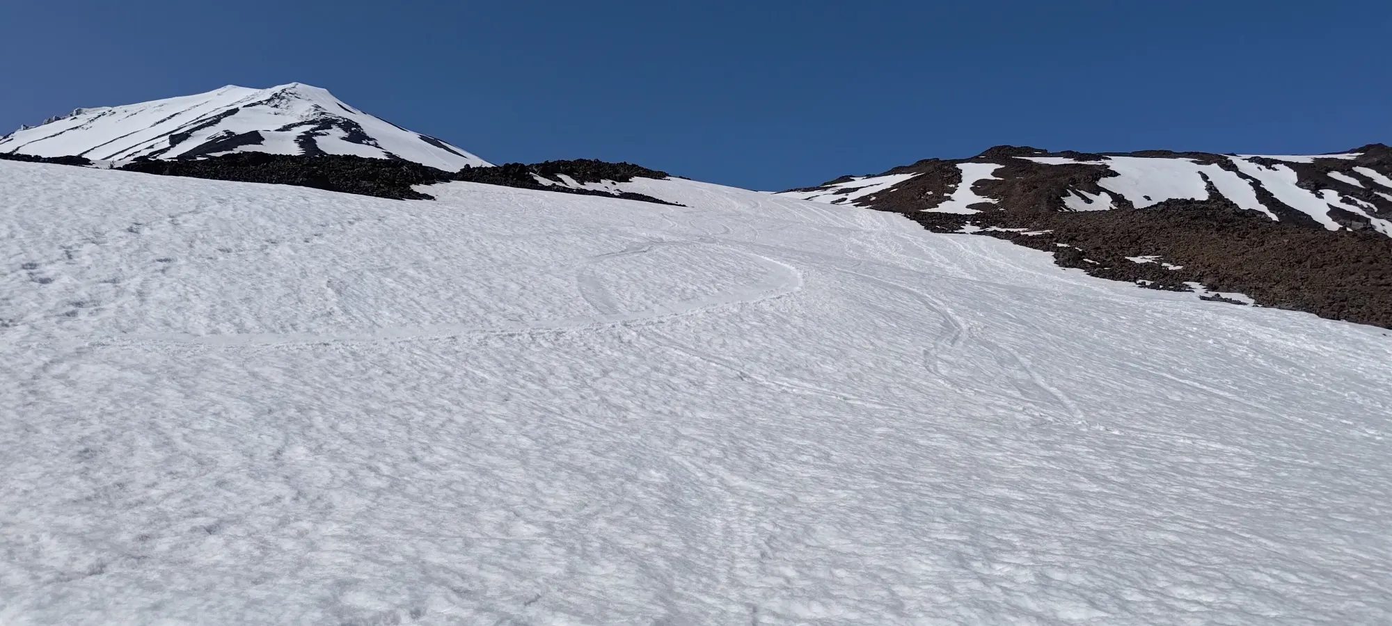
It took about 100 minutes to get to that point, which is a decent pace for spring skiing on a bigger day, I think (600m of gain). I did stop for a few minutes there to have some water, but didn't linger for too long, given the long day still ahead of me. The downhill is quite short, though with skins, a bit steep to slide down, so I booted down, and got moving again without much delay. From there, I continued making my way up towards the SE ridge, until I got between 2550 and 2600m, where I curved back more to the west, orienting myself more with the snow slopes leading up towards the Lunch Counter.

I continued up to around 2750m, where I decided to stop and have a snack break, since there were decent winds forecast for the day, and once I was more on the ridge, I was worried they might be unpleasant, so I took advantage of this more sheltered location to have some rest. This was 2:45 into the day, or at around 9:30am. Not bad for gaining over 1000m, I think.
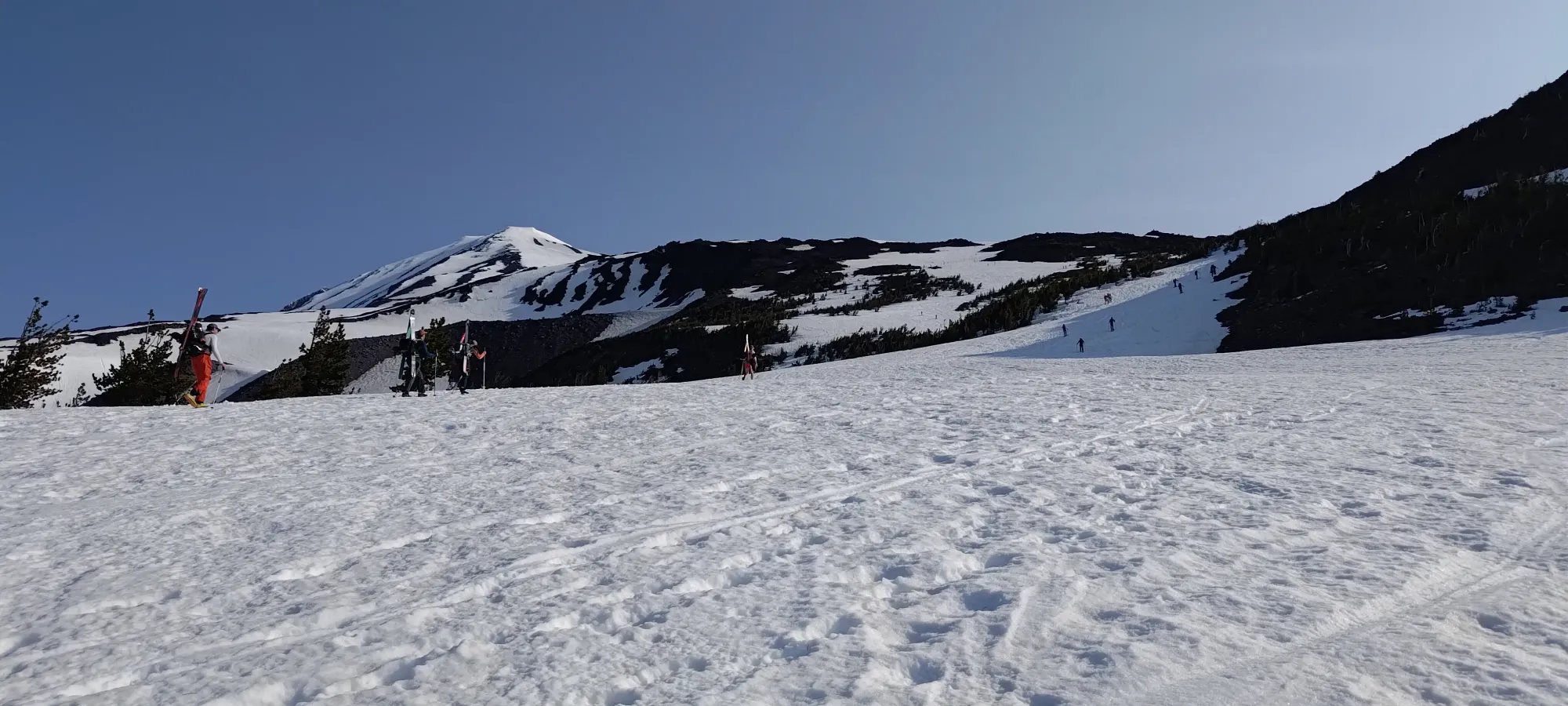
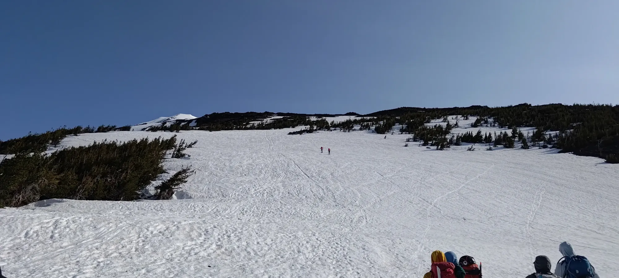
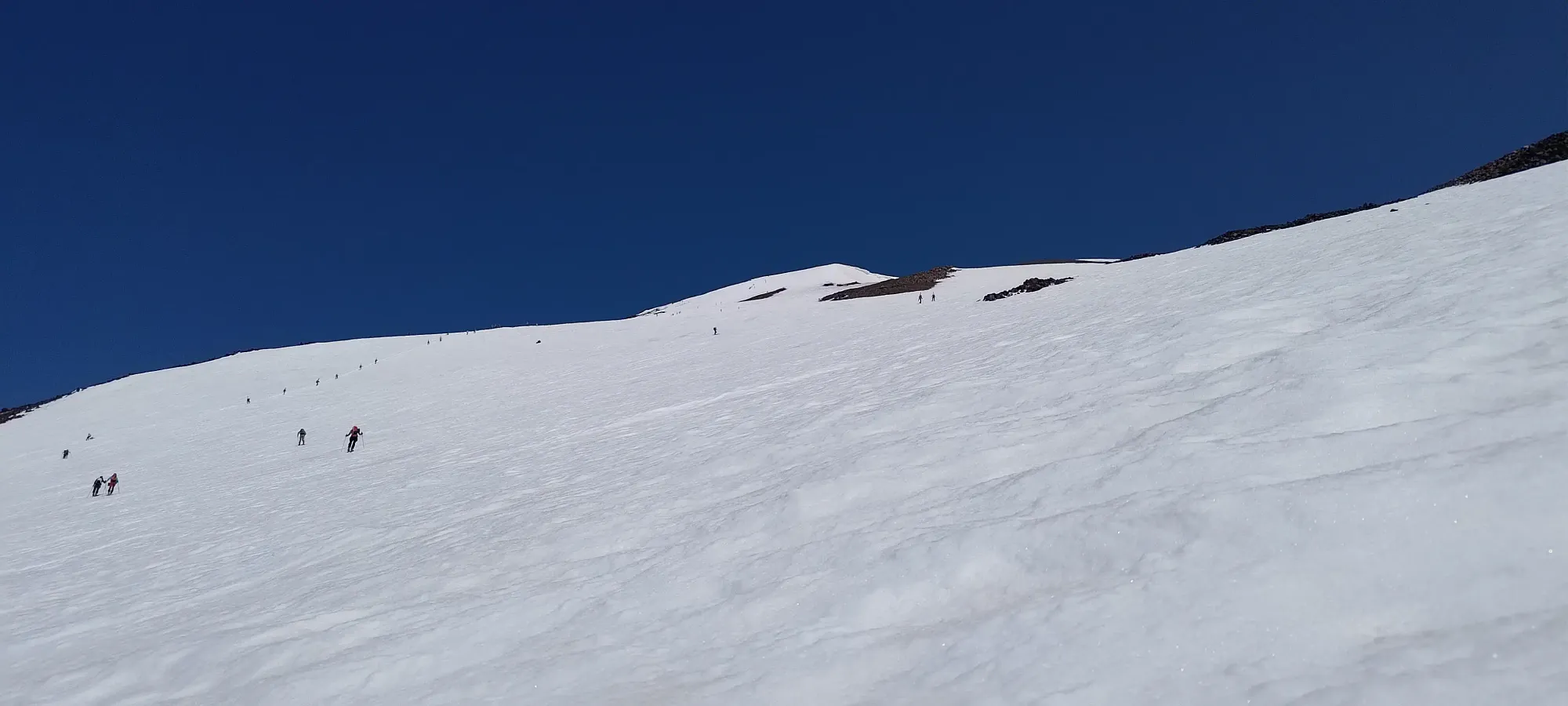
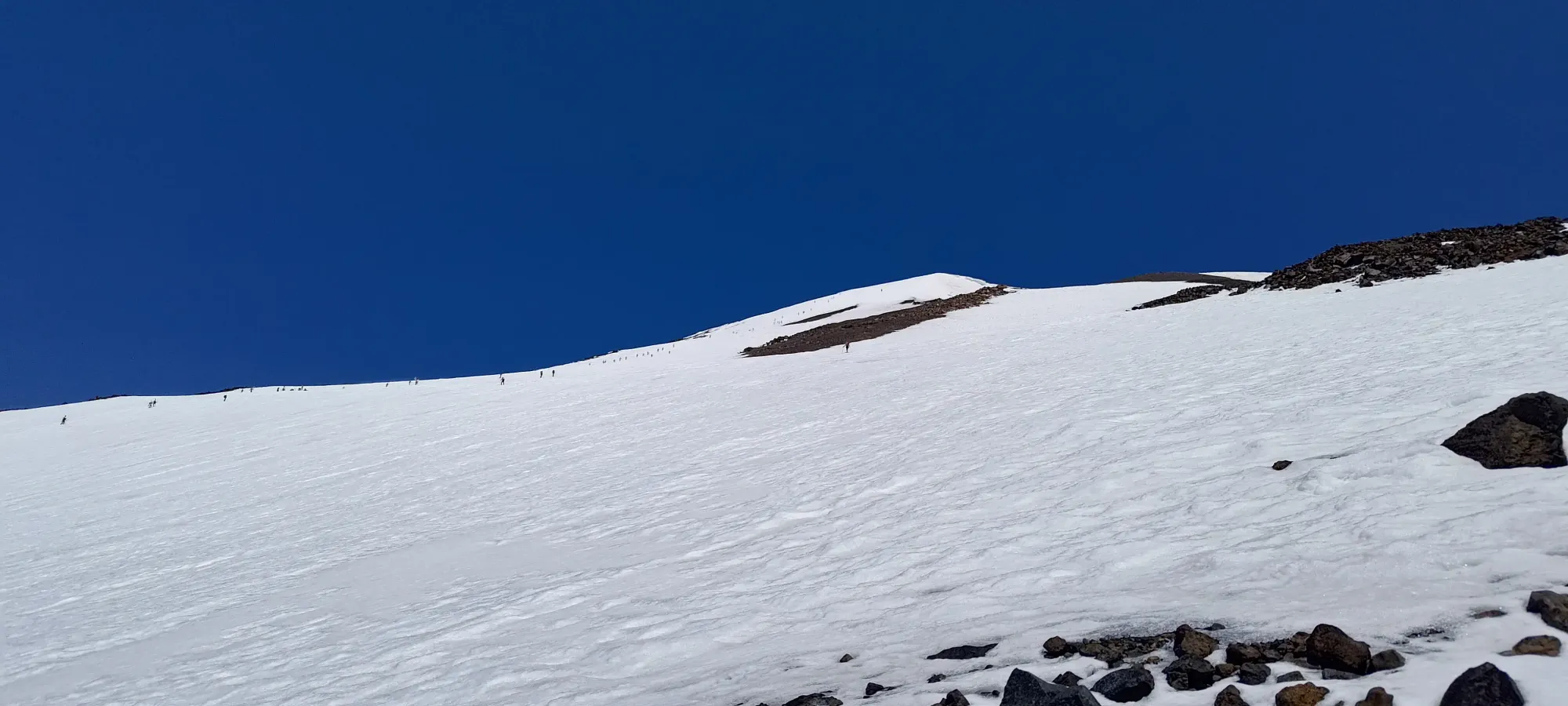
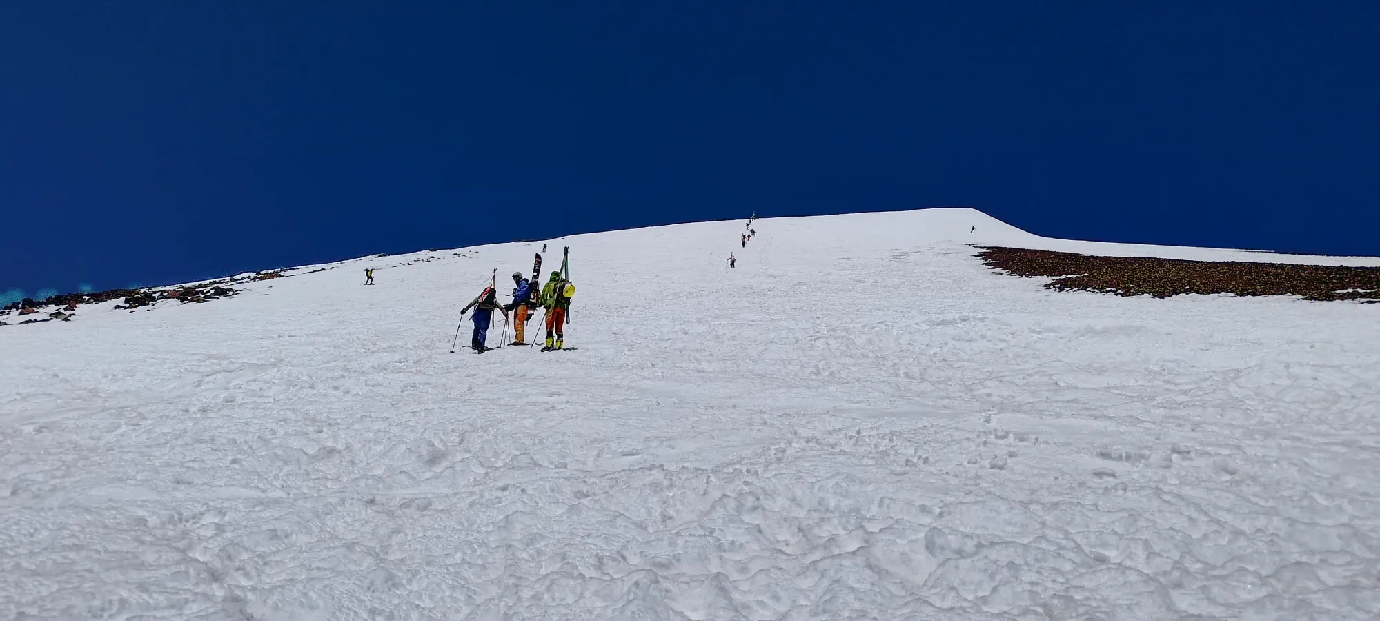
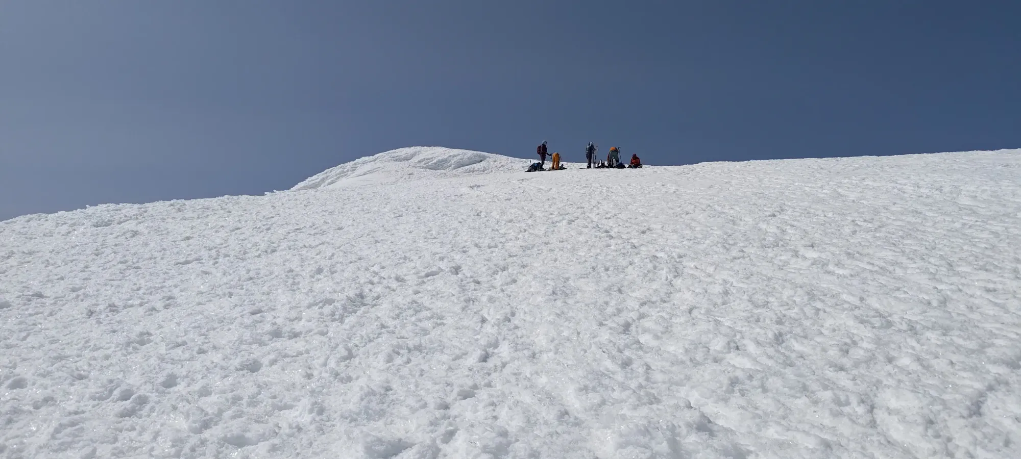
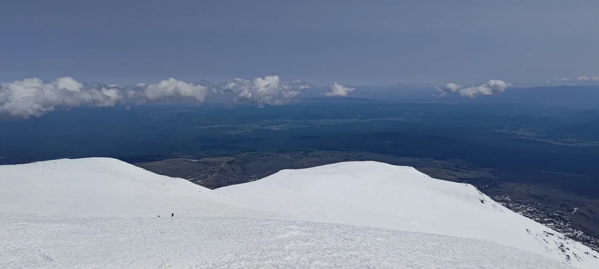
After about 15 minutes of rest, I got a move-on, and 20 minutes +100m of elevation later, I found myself at the Lunch Counter, even though I had broken the rules, and had my lunch a bit earlier 😅. Here, I found the true hordes, over 50 people just between there and Piker's Peak, with more behind and ahead. This place truly gets hectic when the road becomes driveable.
Here, a lot more people were transitioning to booting (if they weren't doing so already), and the few who went up without ski crampons were donning those as well. I didn't think the snow was really different here than before, though, so I just kept going up as I had been before. At least, my form was pretty much the same. As I got past 3000m, I did start to slow down, likely as a result of the elevation+poor sleep combo that tends to get me feeling it as low as 3000m (on my best days, I have started feeling it closer to 3700-3800m).
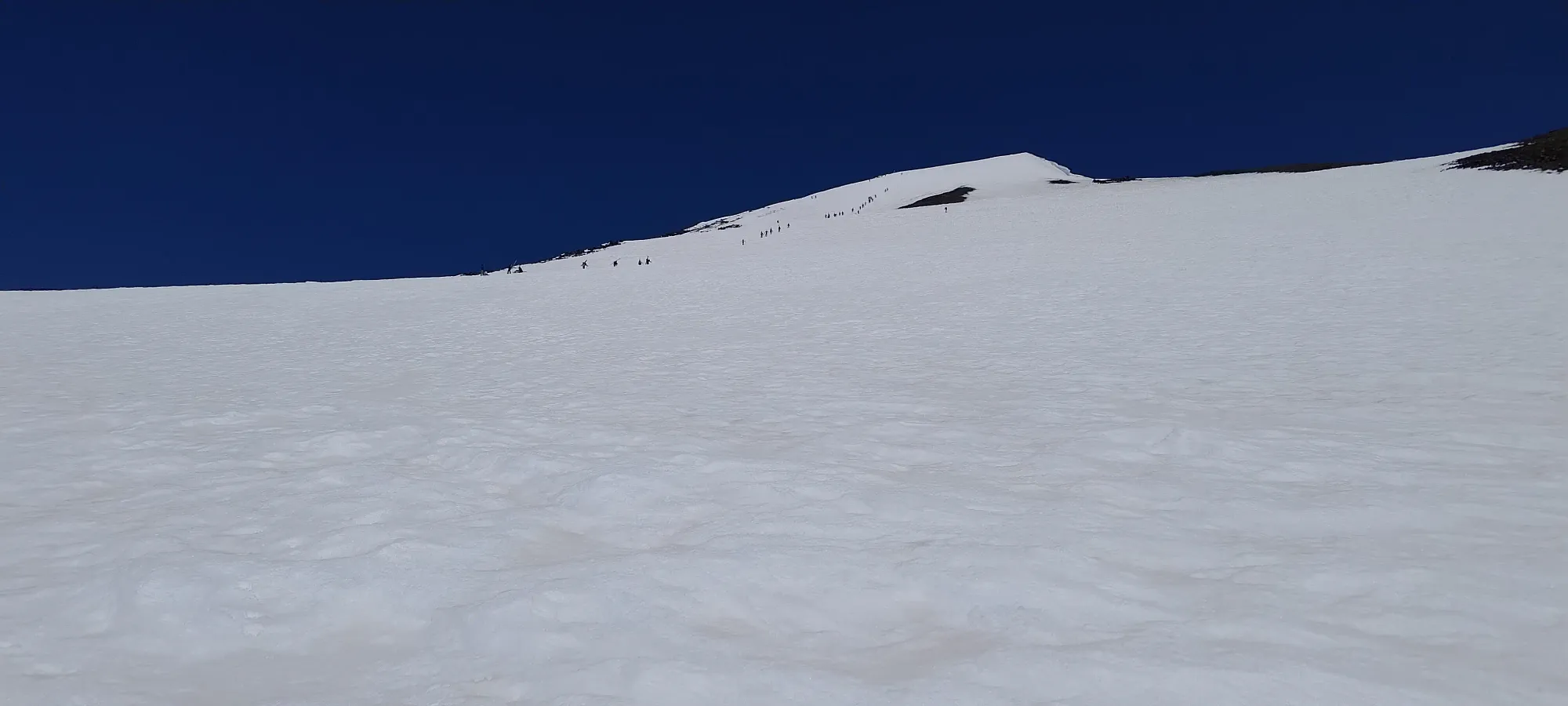
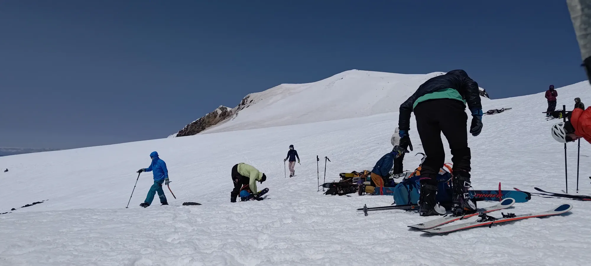
At some point in the skinning, I finally had to go to the bathroom, and took a decent break off on the climber's right of the slope in the exposed talus, which slowed things down a good bit, but at least the mountain is big enough that despite the crowds, there wasn't anyone around to be upset about it 😄. That did take me out of the middle of the pack and shunt me towards being one of the people bringing up the rear of the conga-line of skiers 😅, though.
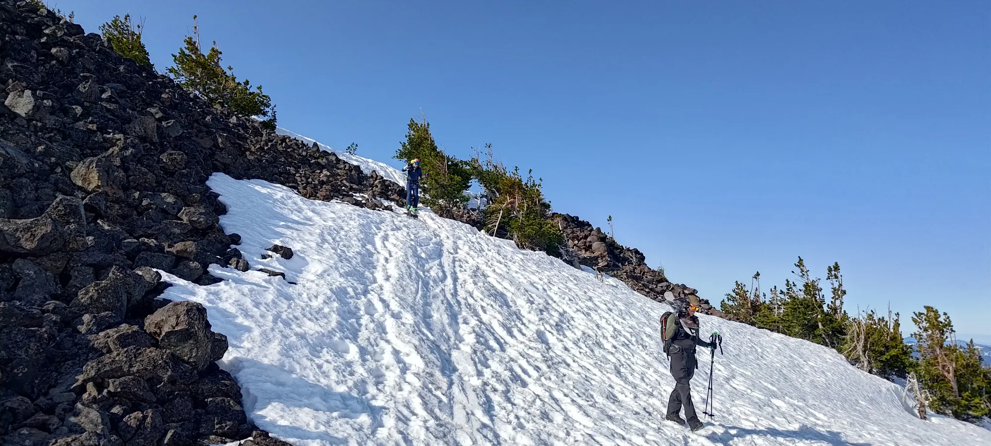
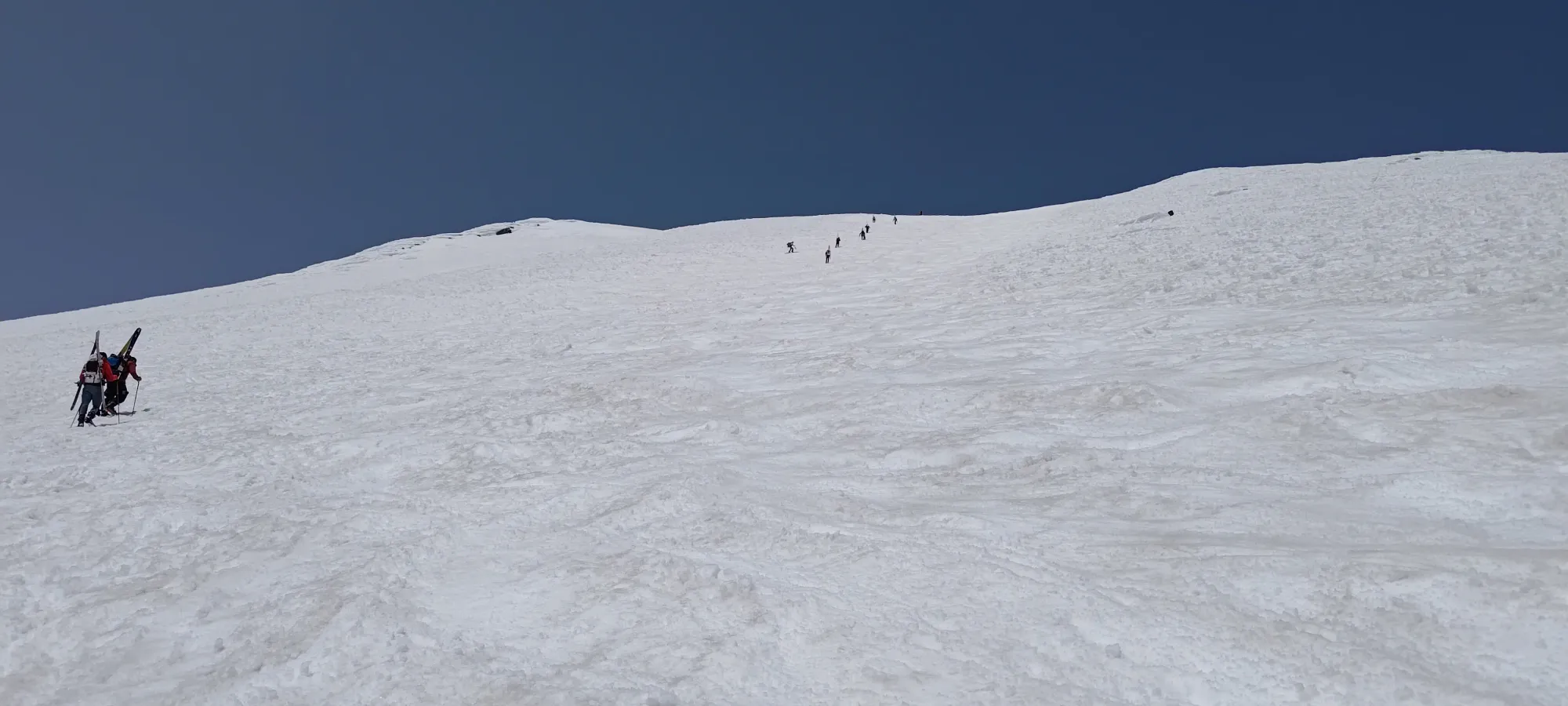
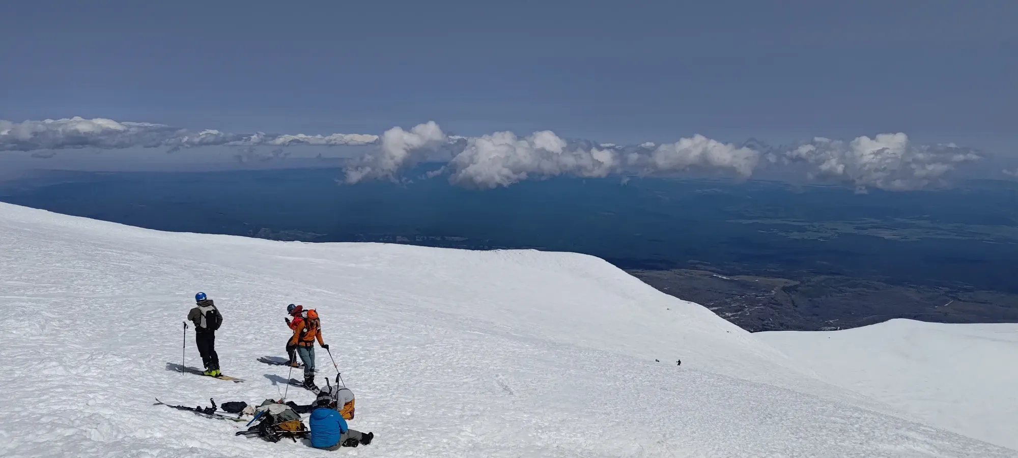
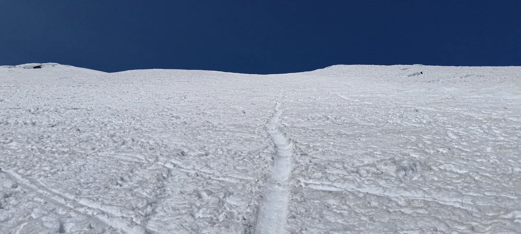
I continued skinning up for the next couple hours, eventually popping out onto the slope just below Piker's Peak at quarter-after-1:00, meaning it took a bit over 3 hours to get from 2850m to a bit over 3500m. Definitely not as good as the first half of the elevation 😅. I almost made it all the way without ski or boot crampons, but near the top of the slope, I had my skis slip a bit on the firm+steeper snow, and so I swapped to booting to avoid losing any progress/energy.

When I got to Piker's, I made my first real big mistake. The wind was quite unpleasant, so I decided that having my skis act as sails on my back would suck, and that the skiing wouldn't get soft or nice in those conditions anyways, so I stashed my skis at some rocks in the area and decided to just boot the final couple hundred metres on foot, up and down. This was a mistake becase just a few minutes after I got hiking, the peak guarded me from the wind again, and it would've been nice to have my skis after all! It was far enough along, though, that I wasn't willing to backtrack to get them, so I had to resign myself to booting down, and not skiing off the top 😞. Truly one of my greatest follies.

Traversing past Piker's to the base of the climb was easy enough, while the trail wasn't super-well-broken like it was to Piker's, the snow was still firm enough that I wasn't really postholing either. Plus, if I wasn't gaining elevation, I could still move at a decent pace, at least.
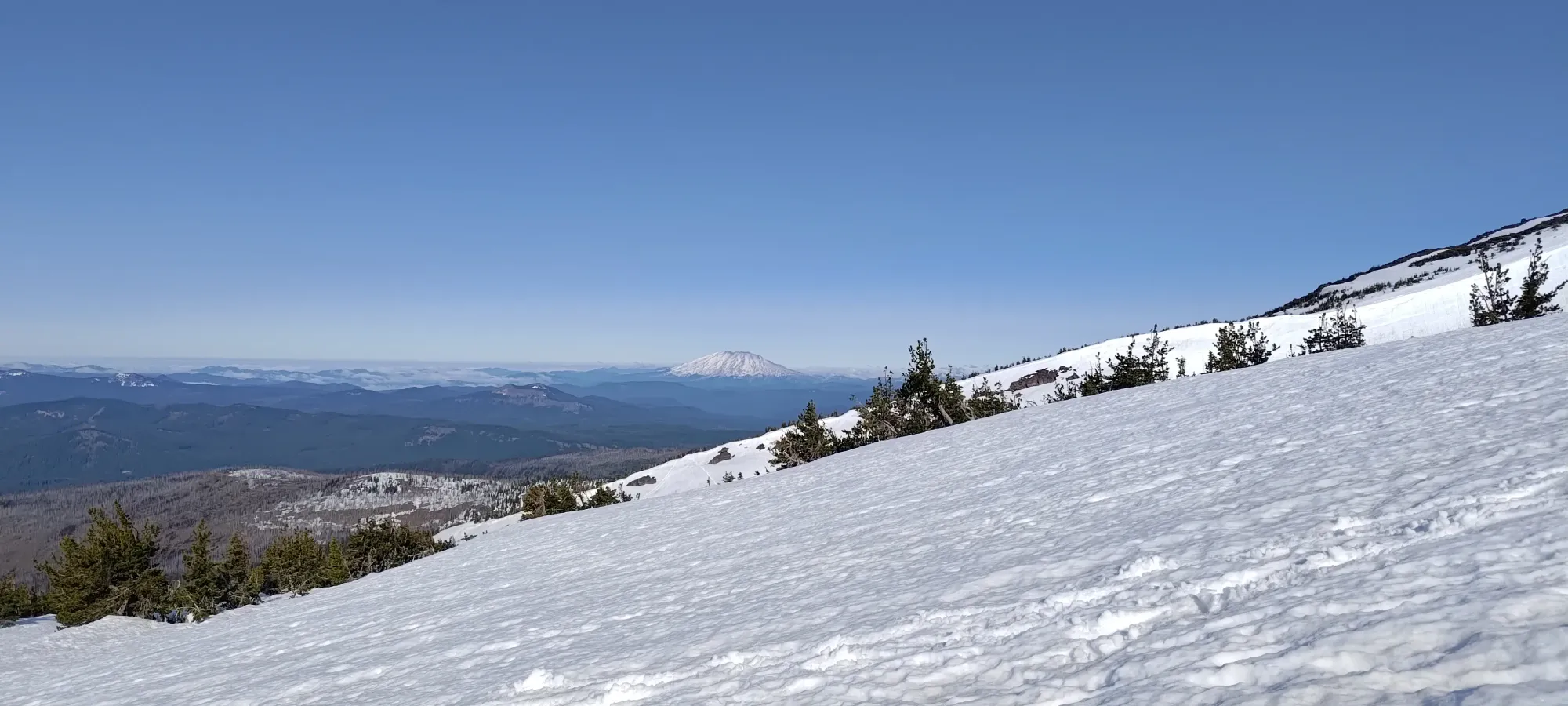
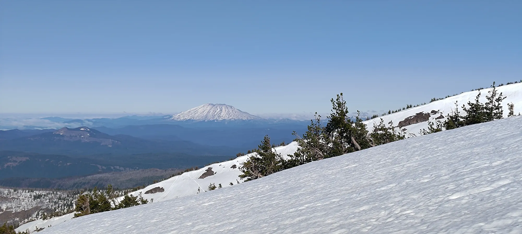
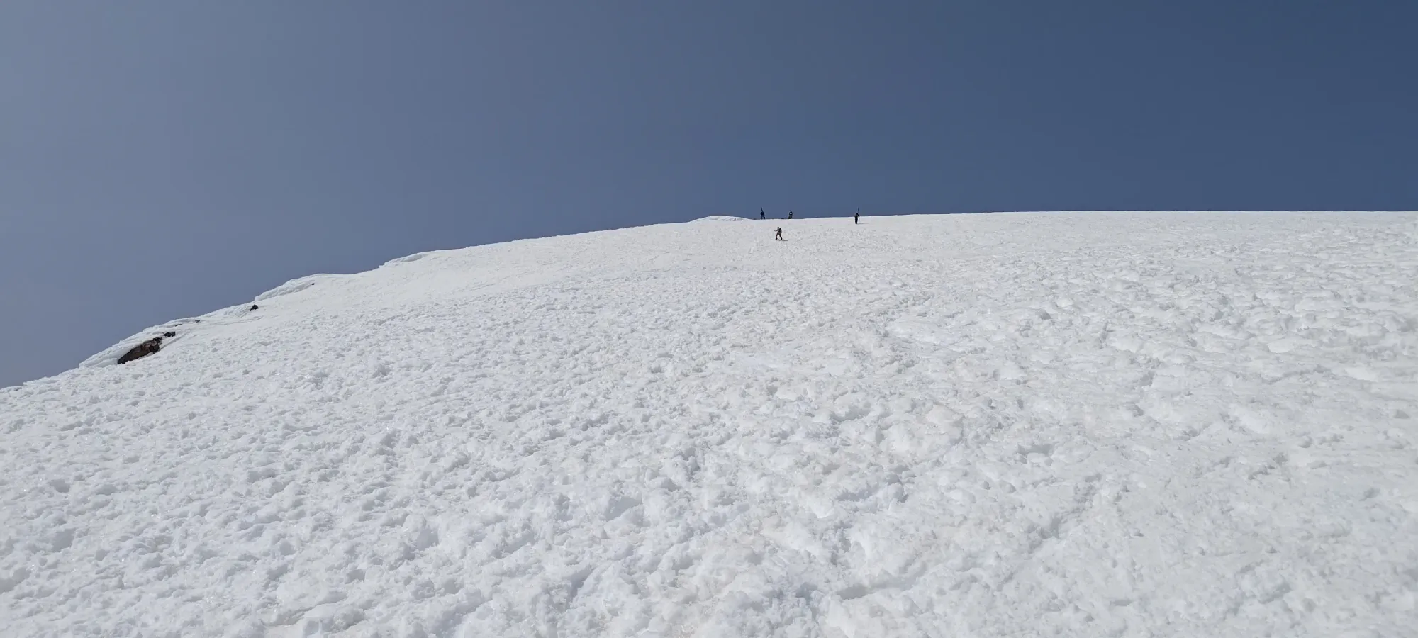
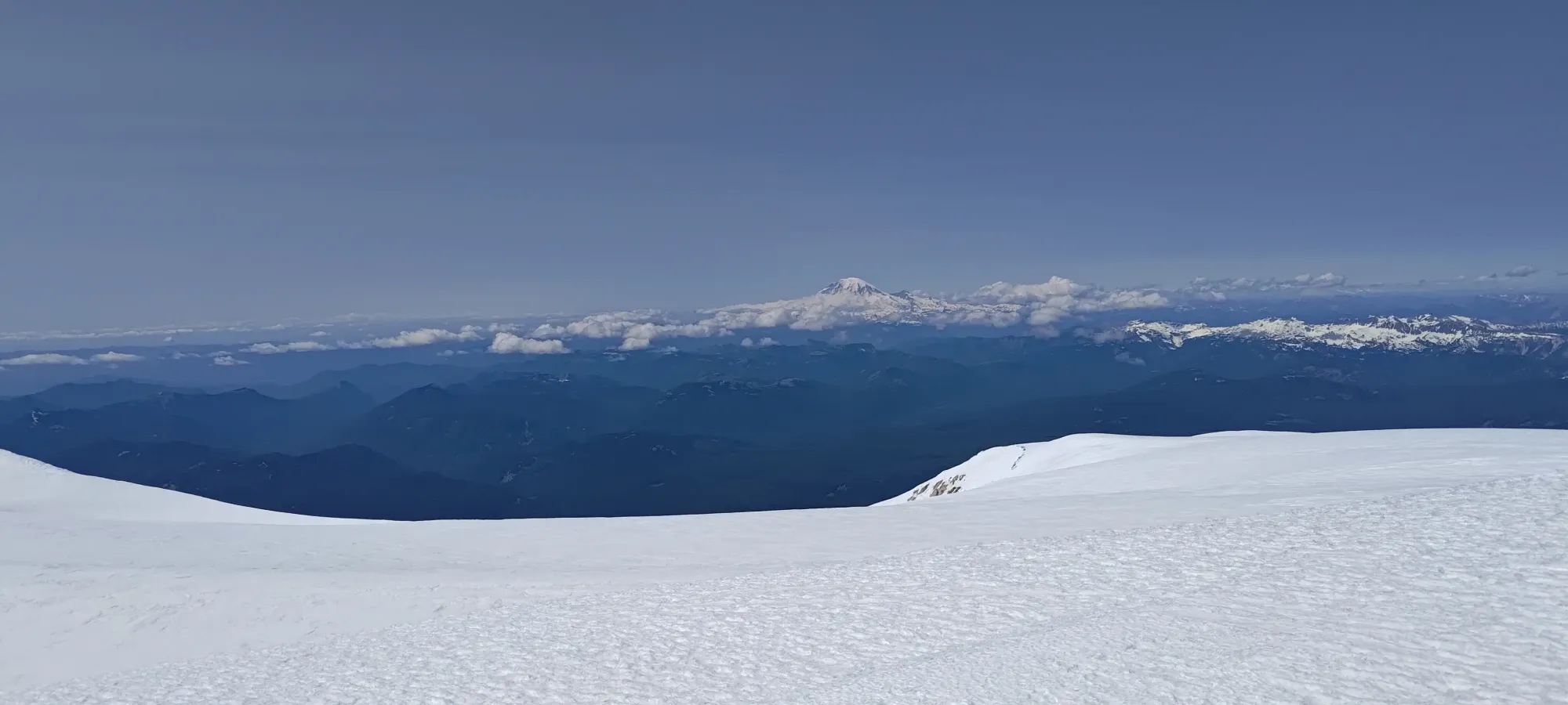
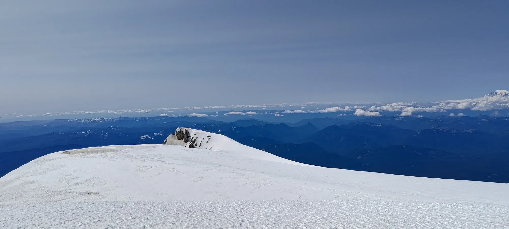
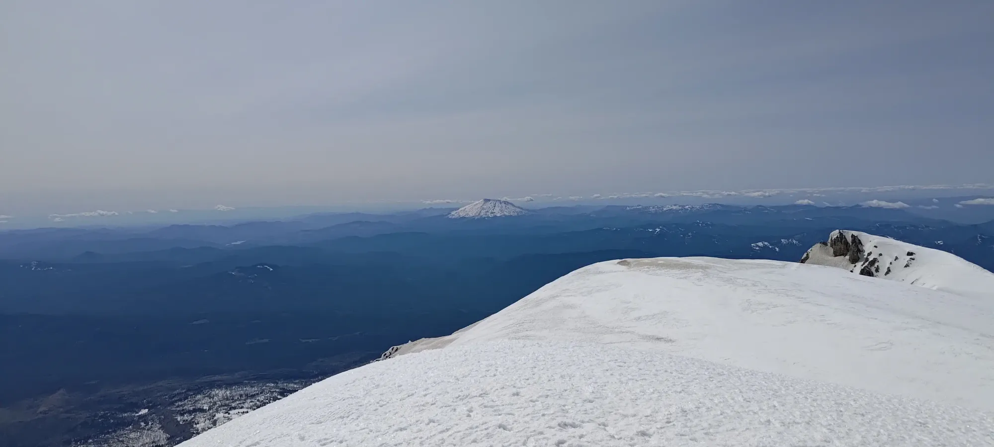
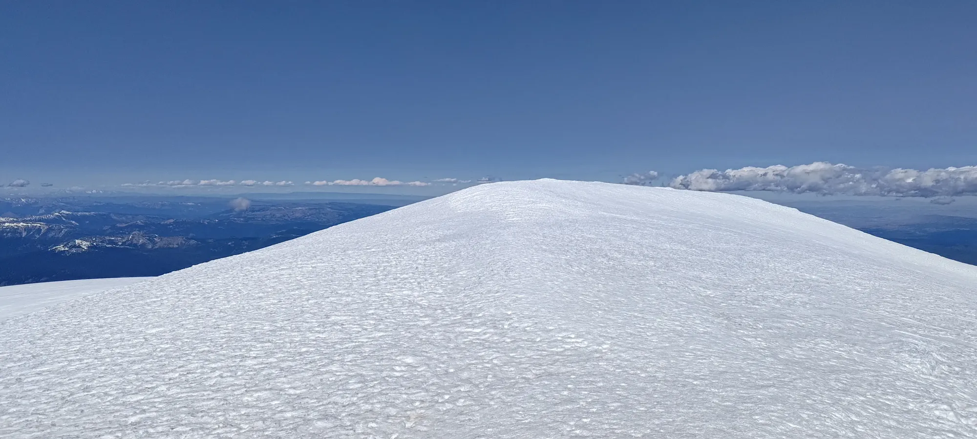
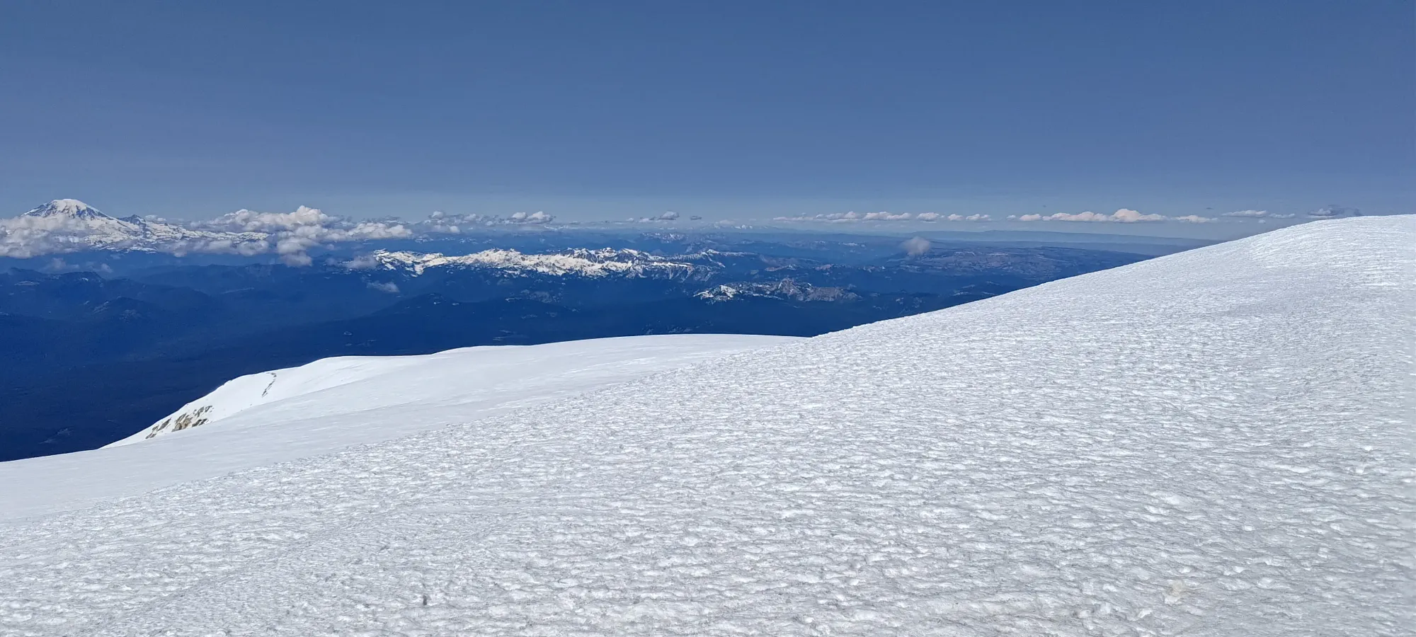
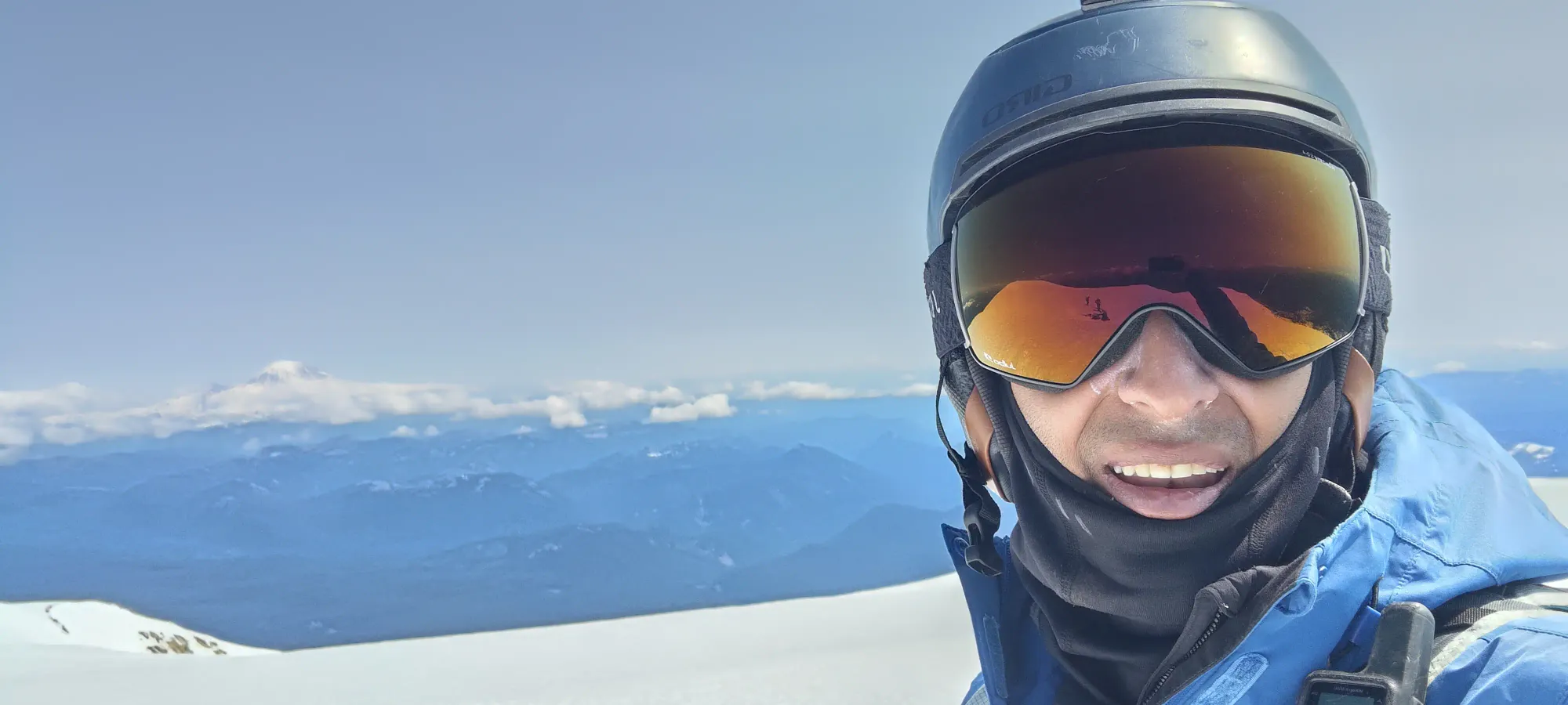
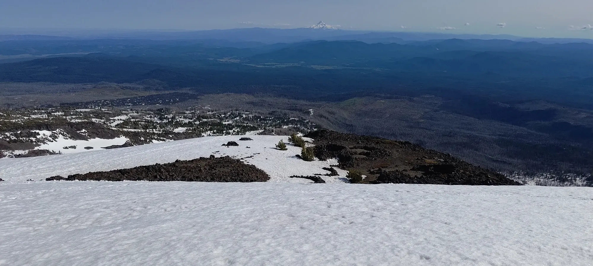
Despite the fact that one only has to gain a bit over 200m in like 1-1.5km of distance, I was feeling the elevation pretty hard, and that took me nearly 2 hours to actually crank out and get to the top 😅. In that time, a few people who were better-equipped to deal with the elevation passed me, and I ended up being one of (but at least not the) last people to hit the summit, rolling in at about 3:20pm, making my summit time 8 hours and 40 minutes, a little longer than I was hoping for, but not far off what I'd generally consider a reasonable time for that much elevation gain. At least the snow was still kinda firm up high anyways, so I wasn't really missing out on an amazing window or anything.

On the summit, the wind actually wasn't terrible either, honestly, but I was still not exactly early (especially since I was still planning to drive back to Squamish at the end of the day!), so I just snapped my photos, said a few words to the skiers who were transitioning, and started to make my way down.
With that out of the way, I turned my attention to the descent. I actually went down with that party that was transitioning for the first ~150m of descent or so, as I was glad to find the snow conditions pretty perfect for my crampons-on style of glissading, which allowed me to get down the main slope pretty efficiently, in just a couple of minutes (one day I should probably not be lazy and film that, but this was not that day apparently). Once it was time to turn towards Piker's Peak, though, they zoomed ahead on their skis, and the slope got shallow enough that I had to tediously walk back towards my gear 😞
The walk back took around half an hour, with a couple detours to help someone who was having gear issues on their walk up, and then because I aimed for the wrong rocky outcropping when I was trying to get back to my skis, which made me lose and regain a bit of elevation at the top of the SW chutes 🙃. Once I got there, though, I was able to put my gear on in a small sheltered spot a bit downhill of the main plateau, and had a decent 20-minute break+transition before I started to ski.

After that break, it was finally time to ski, a casual 10 hours into the day, or nearly 4:40pm 😅. I had wanted to ski the SW chutes, but I decided against it. The snow would've been just as good/bad, I think, but I had heard time and time again that finding your way out from there can be quite difficult/annoying, and given the hour, I didn't really feel like wasting an hour wandering around trying to find the exit to get back to my car at the Cold Springs trailhead. So, the safe+boring choice it was for me!
The skiing was honestly pretty awful for the top 500m or so 😞. I think the first people to drop would've had chunky, icy snow. Those who got up early and dropped as soon as it started to look soft probably fared the best. The biggest problem was that it never fully thawed, but with all the skier traffic from this day and the day prior, frozen and refrozen chunks were all over the face, and with how many people were there on the Saturday as well, tracks were frozen in-place without time for the sun to break them down, so things were very firm and bumpy. As such, I skied rather slowly, taking a solid 25 minutes to descend to 3050m, where things were finally getting soft enough to get fun.
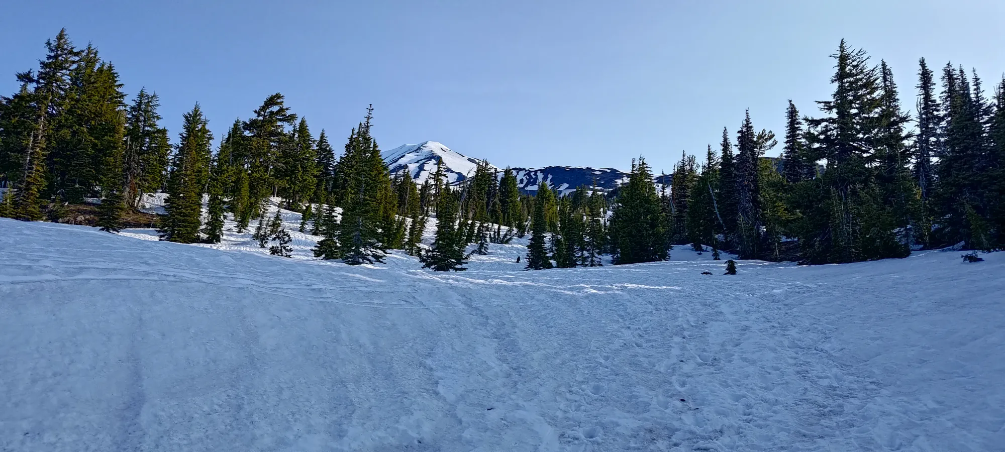
Once I got to the better snow, I skied what little of the face above the Lunch Counter was left, then decided to head skier's right to the drainage below that plateau. First, I knew it went from previous experience. Second, it avoided the small ascent required to get on top of the counter and down to my ascent route. Third, it was less tracked out, and that was something I was definitely gunning for after the face I had just skied 😅
That turned out to be a great call, as the amount of tracks went down drastically, and I had space to make pleasurable turns in soft snow for the next many-hundred metres down to around 2400m, where I finally had to stop just skiing, and start making intelligent decisions to get myself back towards the car. There, I conveniently met some dudes coming up who were quite familiar with the mountain, and gave me some confirmation of my assessment of the best route back, which was great to have.
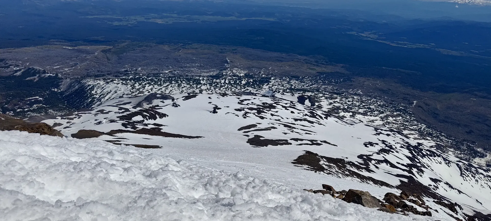
From 2400m I got a couple turns down a steeper bowl, then continued the cruise down to 2250m, where I made a long traverse (still downhill) to get up and over another ridge, which is where I officially made it past Morrison Creek, and from where the way back to the car got a bit easier to follow, as tracks were starting condense, and there were fewer large ridges separating drainages.
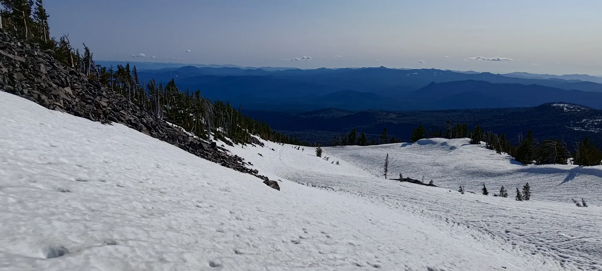
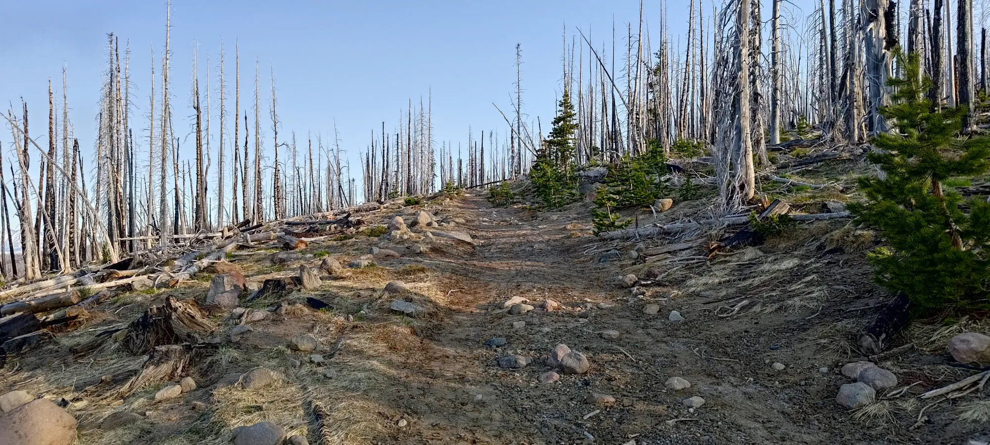
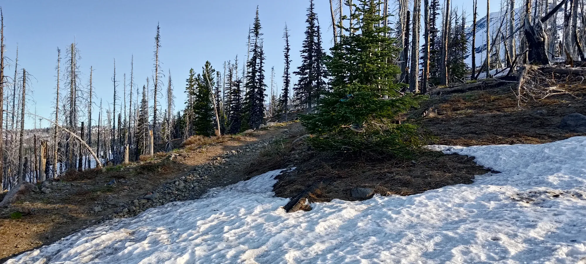
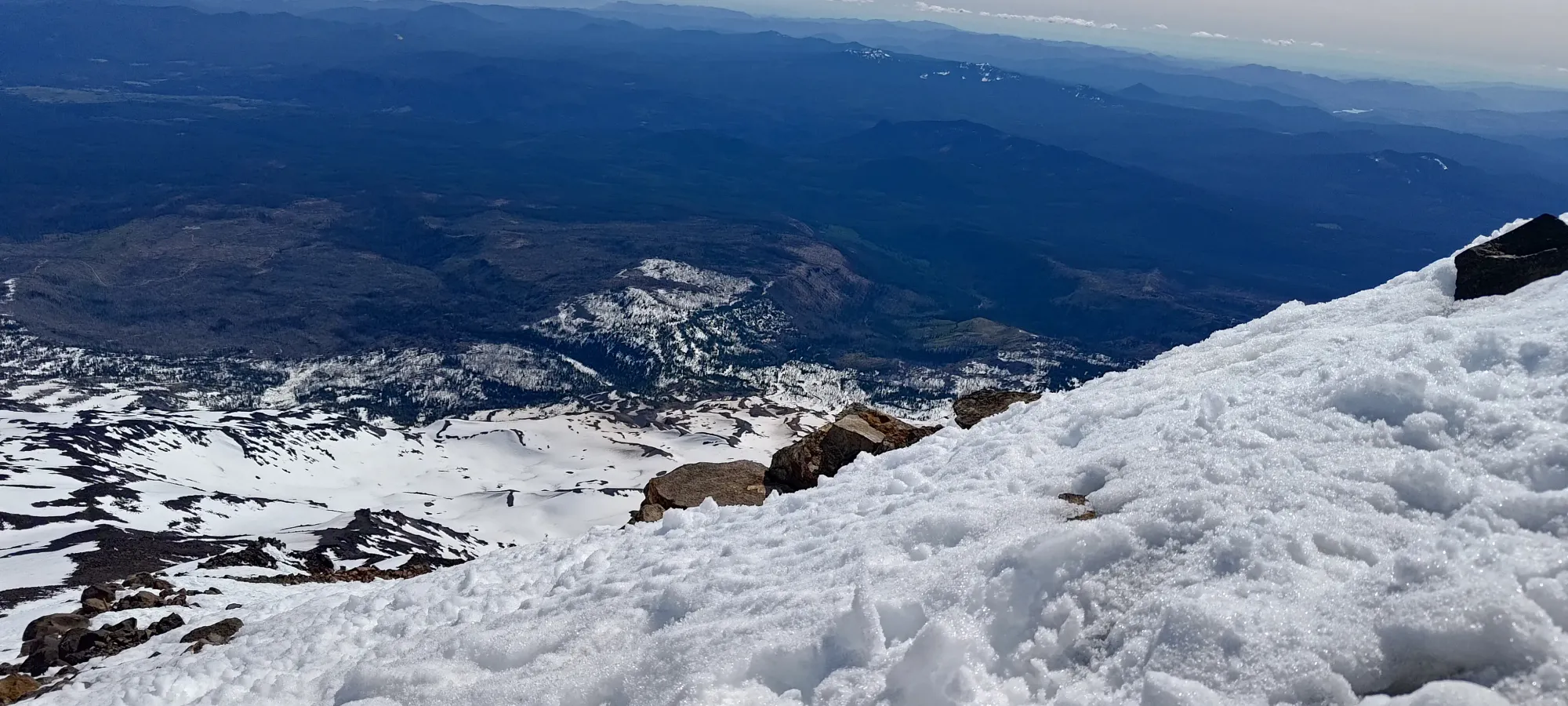
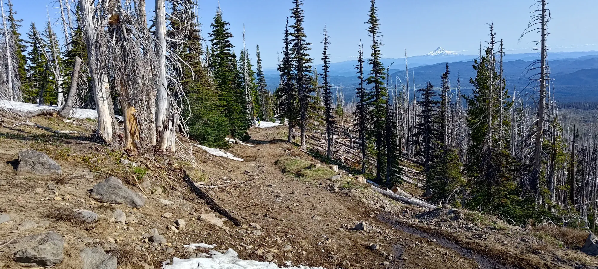
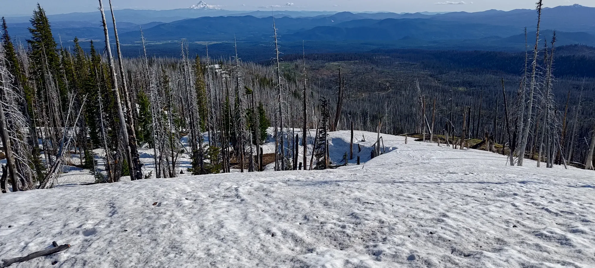
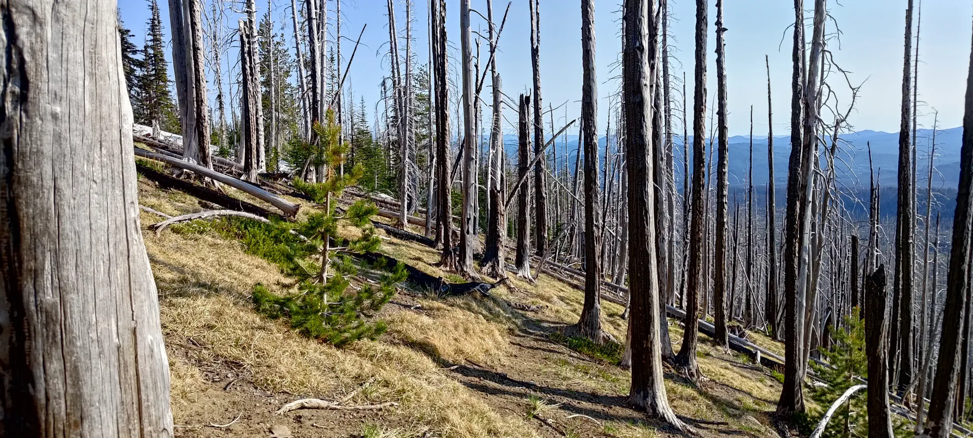
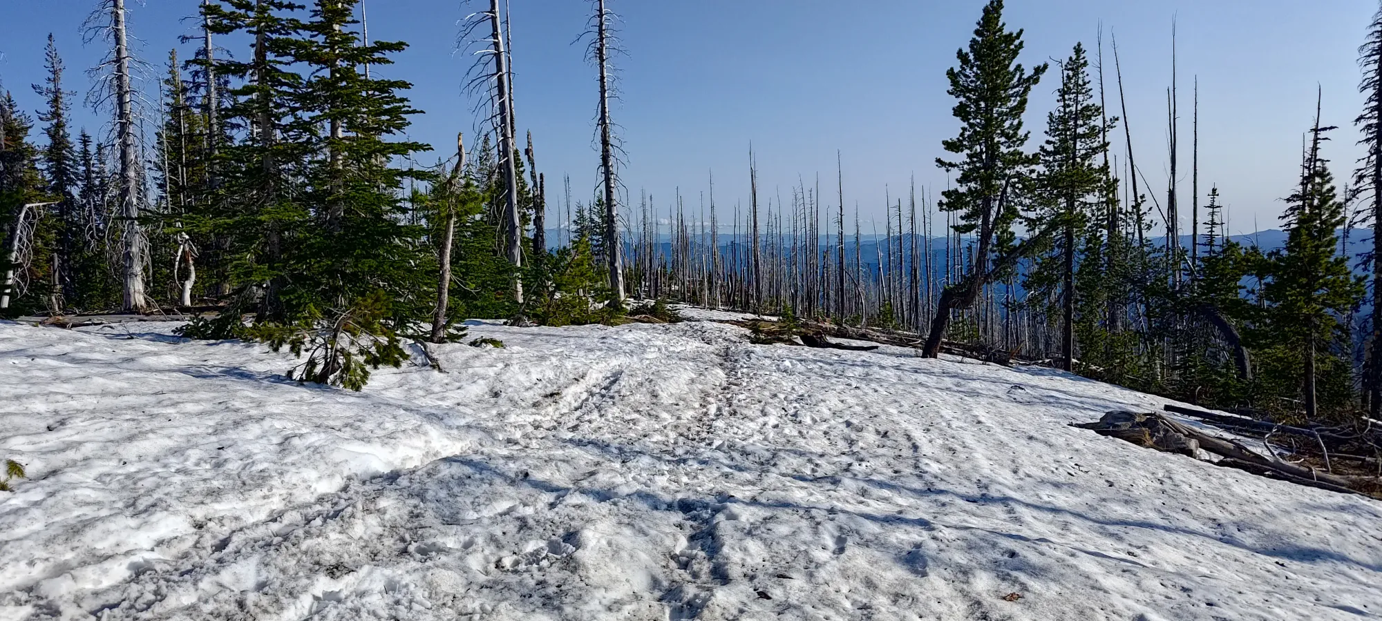
As I got closer to and below 2000m, the snowpack started showing more signs of thinning, with some bare dirt poking out in some tree clusters. It was still fairly easy to stay on the snow, though. The trees were also getting more common, and showing signs of previous forest fire damage.
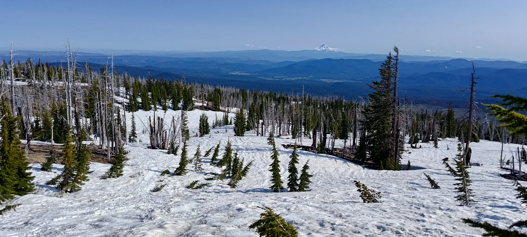
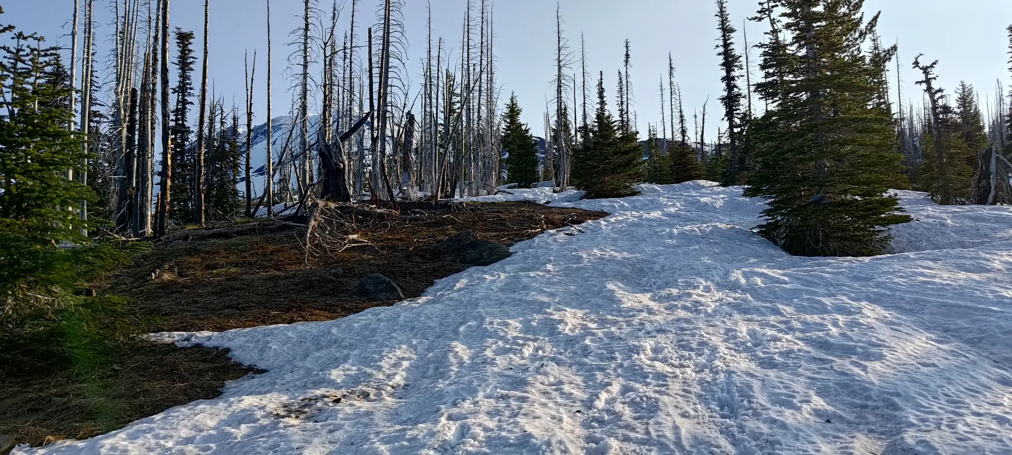
Once I got to 1850m, that's where most people were taking skis off and walking down. I almost did the same, but then I realised that there was snow to skier's right, which looked still vaguely in the right direction, so I walked over to that instead, and decided to see how long I could keep skiing. There were snow patches in that general direction off from the trailhead, so I had some hope I could get more progress going that way.
I managed to ski down to about 1750m from there, with a short carry in-between 2 large snow patches. From there, though, I had to admit it was time to give in, and I slapped my skis onto my back for the final walk back to the car.
From my transition point, it was about a 10-minute walk back to the parking. I mostly kept a good line back, but got slightly too low, and had to gain 5-10m to get back onto the trail right at the end. The forest was very open thanks to previous burns, though, so I didn't really have to do any bushwhacking or anything, just hopping over a few deadfall. Totally worth it for the extra skiing, IMO.
With that, my hike drew to a close, a bit under 11 hours and 40 minutes after I started 😅. My ETA to get home from there was something like 2am, which wasn't terrible, at least, so I managed to get done before the drive back would be untenable, which is something. I am definitely happy to have finally got Mount Adams done, even if I didn't end up skiing the chutes. Volcano skiing is still pretty great, there's something about "just going up, then going back down" without any faff in-between that's pretty dang awesome.
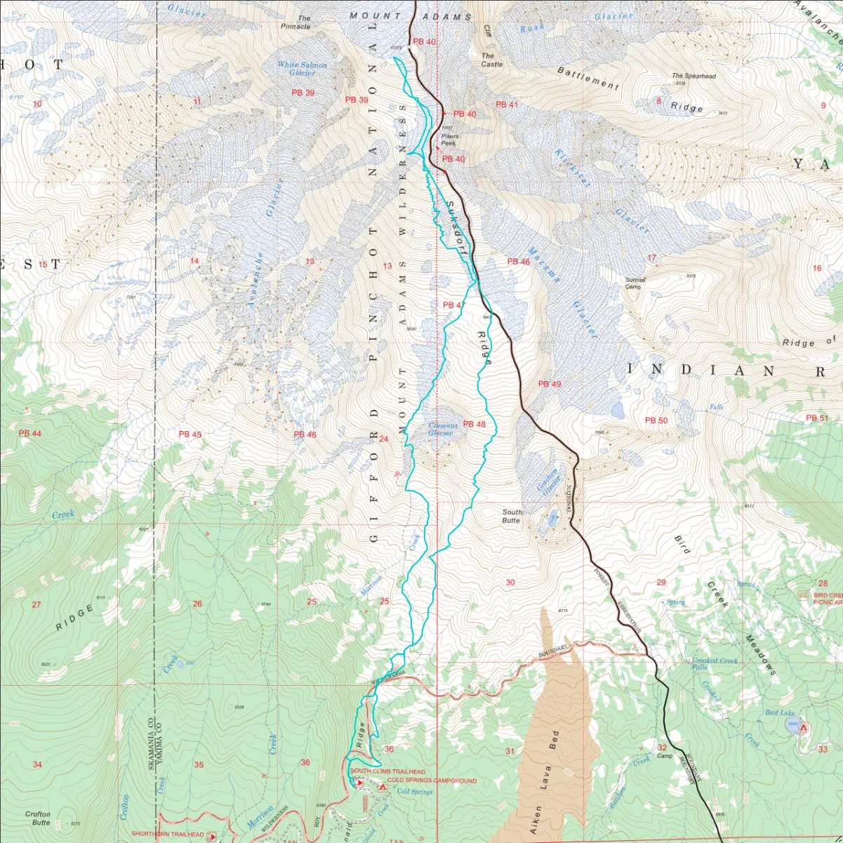
GPX Track + Map