Morton Peak (Mara Mountain Lookout) - November 4 2023
A fairly easy ultra near Sicamous, which can even be driven in the right conditions. We, of course, did not have such conditions

Shuswap Highland, Sicamous, British Columbia
2250m
With a rather horrid weather system coming in to SWBC on the weekend, I was looking for something to do in spite of that. The freezing levels were too high for it to make enjoyable snow, the trails were already fairly wet, and some peaks still had "just enough snow to make it rather unpleasant" with the extra wetness added in. Figuring the local area would be a bit of a lost cause, I prowled the maps and tried to find somewhere that would either have better weather, or at least a peak I could do in bad weather which was "important" enough for me to justify driving a super long distance. I went through a few options, but after discussing with my friends who were available, we settled on Morton Peak.
Morton Peak is an ultra (hence the importance) near Sicamous, which is quite far away indeed, a bit too much for most people to consider it a day trip from Squamish. However, it had a few features that made it more interesting to me. It has a road all the way up, a fun drive in the summer if one has a capable vehicle. This would allow us to access it without too much difficulty, in theory. We also saw some webcams from local sled groups which showed an existing snowpack, and the Saturday storms were on the edge of being able to dump more snow instead of just rain. That meant skiing was a possibility, which is far more fun than walking in the rain. Last, the terrain was quite safe from a slope perspective, and a routefinding one, since it's basically just "follow a road", so even with bad vis, we should've been able to make our way. I managed to convince Logan and Michal that these were good things, and I had a couple people to hang out and share the gas with 😃.
We met up in Squamish at about 11:30am on Friday, me+Logan both taking the afternoon off from work, so we could drive into town and be ready to climb Saturday morning. The drive over to Sicamous was pretty uneventful, and with a lunch break in the middle, we got to town at about 6:15pm, with plenty of time for dinner and more! We decided the "more" should be to drive up Queest Mountain, which is just in town, and offered a southern aspect (what we'd be ascending on Saturday) we could get snowpack information from. That was a relieving drive, as we got to about 1100m before we started seeing thin+patchy snow, which meant we should be able to drive far enough to make the day feasible. Armed with that information, and with some food in our stomachs, we set out to find a place to sleep. We drove around some local FSRs until we found a nice deactivated spur with a flat area to set up a tent, so Logan+Michal set up there (the car was too full for us all to sleep inside), and went to bed before the climb Saturday.
In the morning, it was raining fairly heavily still at about 7am, but by 8 it had calmed down to just a drizzle, and we made our way down to town for breakfast (and for me to get to use a real bathroom). After that, it was a long drive south to Enderby, and then east along the Shuswap River until we could turn up north to start making our way up the mountain. There are also routes up from the North, but I got beta that the south was easier driving-wise, and since we also wanted to get as high as possible by vehicle, the southern aspect was preferable.
The off-pavement drive followed the snowmobile route up, which was actually pretty easy going. The first 10+km gained very little elevation on a wide mainline FSR, until we turned northwest and started gaining elevation in earnest. The road turns a bit rougher in this section, with a couple small cross-ditches and small drainage channels in the road creating some ruts, but I'd bet a dedicated 2wd driver could get up as far as we did, even with lower clearance. We started hitting snow patches around 1100-1200m, and by about 1400m we were driving on snow "for real". Thankfully there were some tire tracks to follow, and we got up to 1600m before they turned onto a fork we didn't intend to take. I probably could have driven further, but without another vehicle to rescue me if I made a mistake, or couldn't find a place to park, I decided to just stop there, and we geared up for the rest of the ascent on foot.

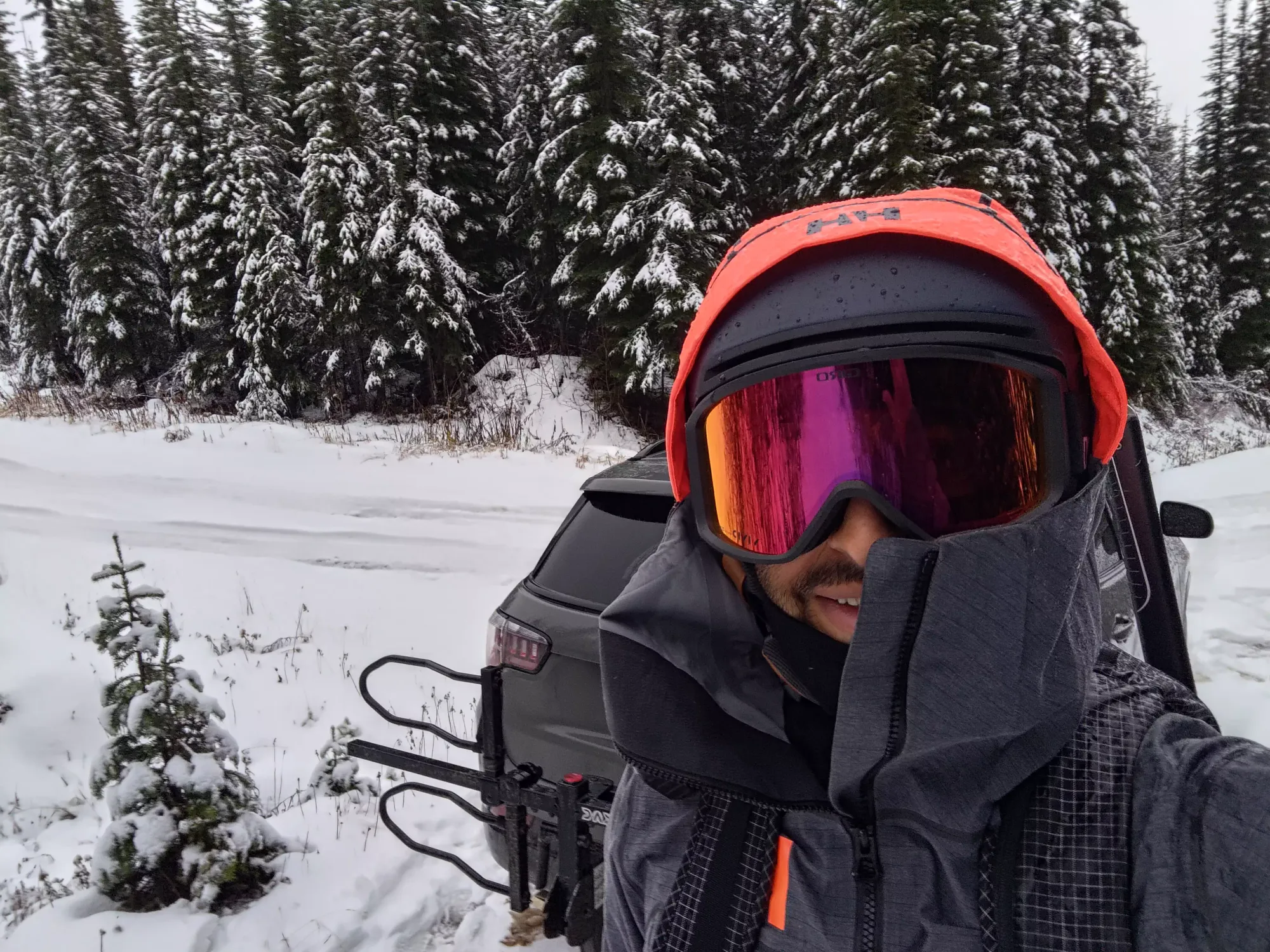
Gearing up took a hot minute, as I still had to get changed from my sleeping clothes, decide if I was going to ski or not, then put my pack together accordingly. Michal also had to learn how his snowshoes worked and get them adjusted, as he didn't have any before the trip. Eventually, though, we were all geared up with me on skis with my unnecessary full skimo setup, Michal going ultralight with just the essentials, and Logan in the middle, and we set off at quarter to noon.
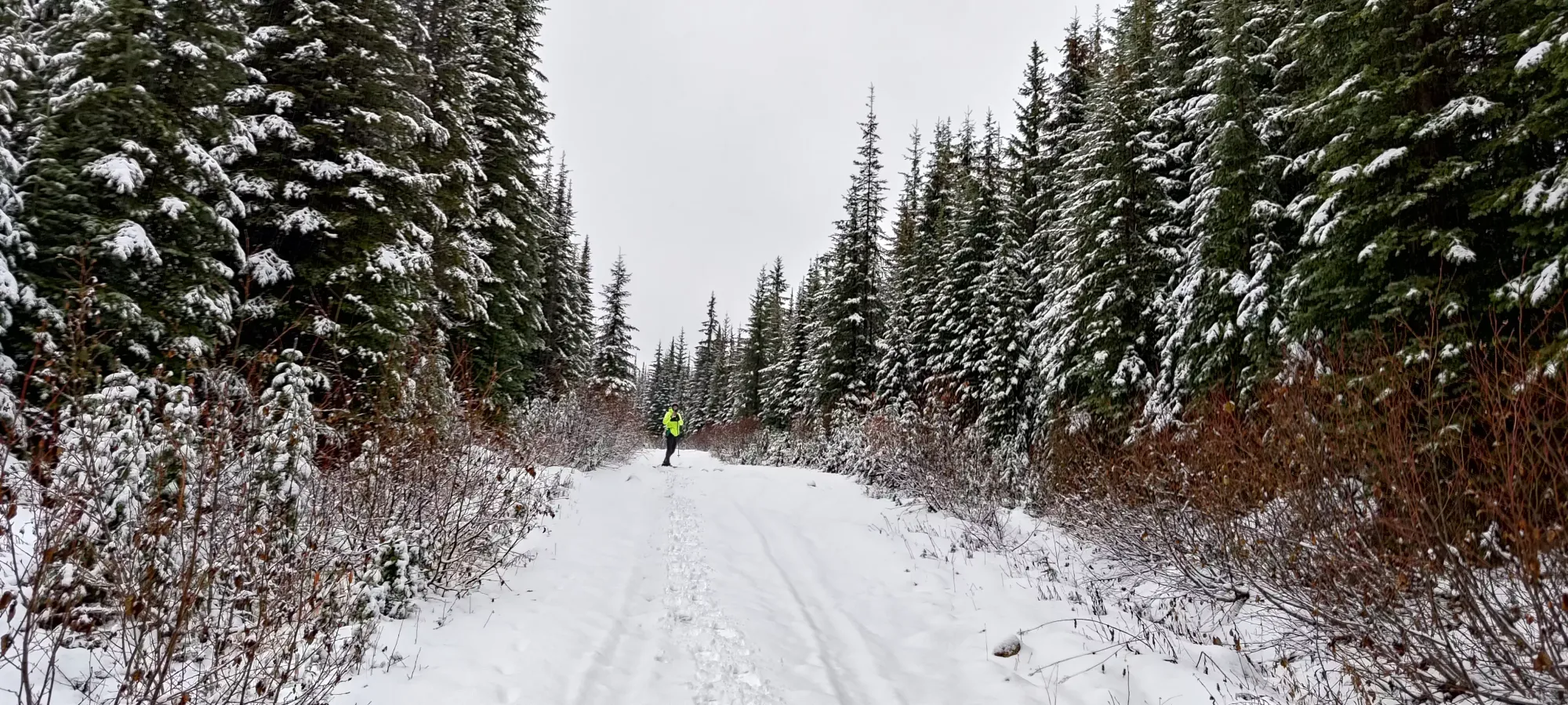
Where we started, the snow was still pretty thin, 5-15cm depending on the spot, so I would not recommend skiing here (though within a week I'm sure that will no longer be the case). Skinning is fine, though, so I got to do that from the car. There's not much to say about the way up, honestly, as it really is just "follow the road to the top". The first few minutes were pretty damn warm, so we quickly opened and unzipped as many layers as we could, and I tried to slow the pace down to a better balance of speed and sweating.

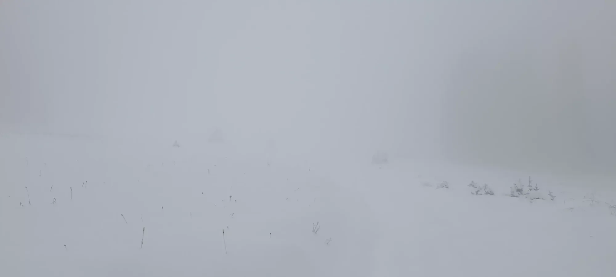
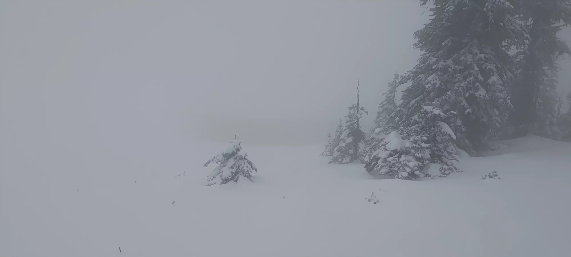
By an hour in we'd climbed to about 1950m, where the terrain flattened a bit, and the road started to curve west to traverse across the face of the mountain for about 3km until it started curving back up towards the summit. Here, the visibility for the rest of the day took shape, in the form of dense-as-heck clouds that made visibility 2-10m, depending on the exact spot we were in. This was not entirely unexpected, but a bit disappointing, as it meant no views, and no chance of getting to set a more efficient skin track up and/or ski more fun+steep lines down, as yeeting into unknown terrain on an unfamiliar mountain ain't the best call you could make, even if the overall slope was shallow and there wasn't much avy risk. Dense trees and cliffs still exist basically everywhere, and I've had enough of the latter to last a lifetime 😅. On the plus side, the rain had turned into snow by this point, at least, and the snowpack was deep enough to make me not worried about core-shotting my skis, if not quite enough to make the entire slope available for "activities". Plus the temps had cooled to make things more comfortable at our natural pace.
At about 1.5 hours into the day, as we were getting into the long traverse, we managed to see "literally anything", in this case a "please stay on trail" sign beside a rather sad-looking pond, so we took a picture for the sake of having anything to take pictures of in the whiteout conditions.

The traverse was particularly annoying for me as it had lots of ups and downs that made you wish you could transition on skis in 15 seconds instead of a couple minutes (at least I can't, I'm sure skimo racers would be aghast at that statement). The vis didn't help, as I wasn't able to see if turns were coming, or how long the hills were. I knew from the overall route none would be long enough to justify ripping my skins, though, so I just settled for sliding forwards on my skins, knowing with the gentle grade and wet snow, plus me breaking the trail that it would be slow enough to be fine if not particularly fun. I did at least have a couple chances to laugh in superiority when I got a few seconds ahead of my snowshoeing friends.

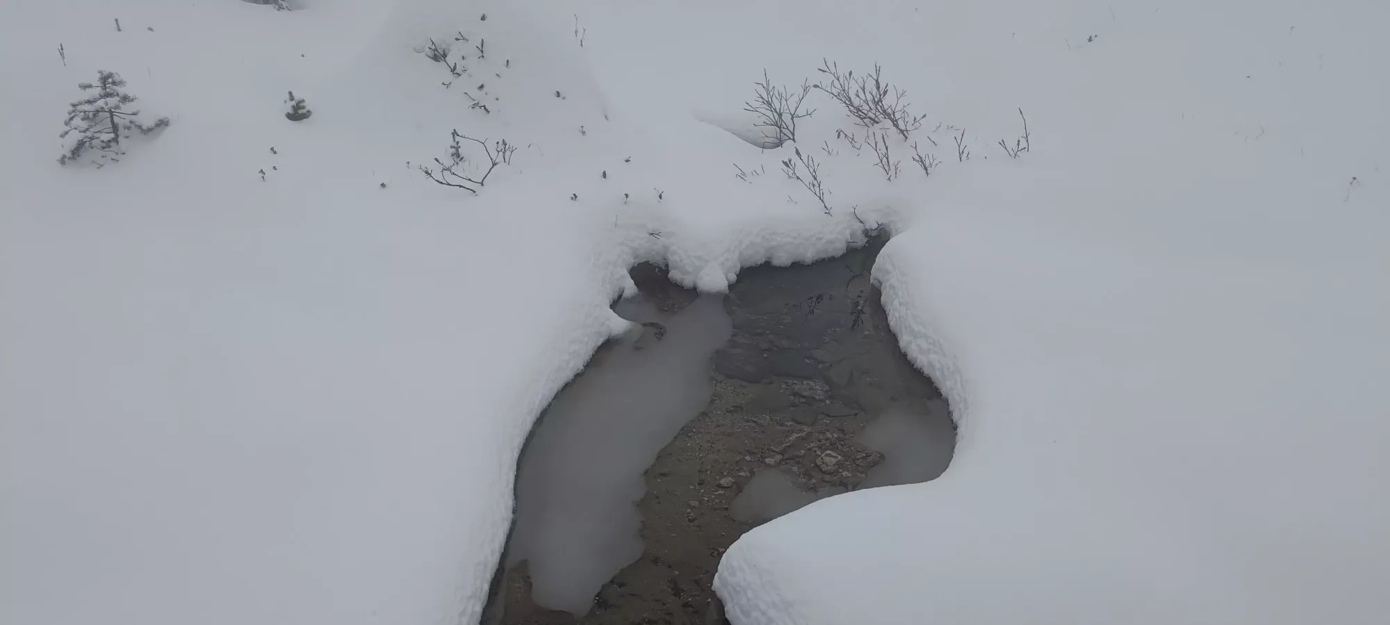
The traverse took about 1.5 hours and brought us from around 1960m on the "eastern half" of the trail to an unnamed pond a bit above 2000m, where the grade started to pick up again and consistently gain elevation. There were a few spots along the way where small creeks were draining across the trail, but thankfully all bridged at least "enough" to get across, at least if you slowed down first 😅. We were all pretty happy to start gaining elevation again, as that whole traverse was about 4km for nearly 0 elevation gain, which felt quite wasteful. I also had an annoying moment here where I noticed one of my binding brakes was damaged, though I'm still not sure how. It was loose and had a piece of metal sticking out, which I managed to get out of the way, but I think the brakes on one ski may not be super-operational for a bit. Thankfully brakes are the cheapest part of bindings, and they're my rock skis, so it's not a big deal. Annoying to have to deal with mid-mountain, though.
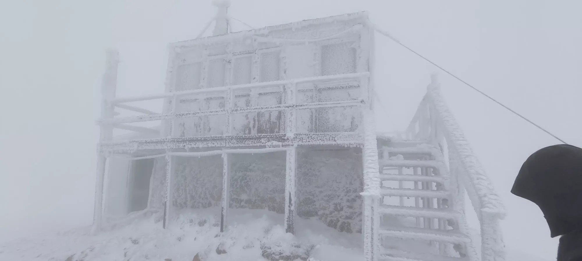
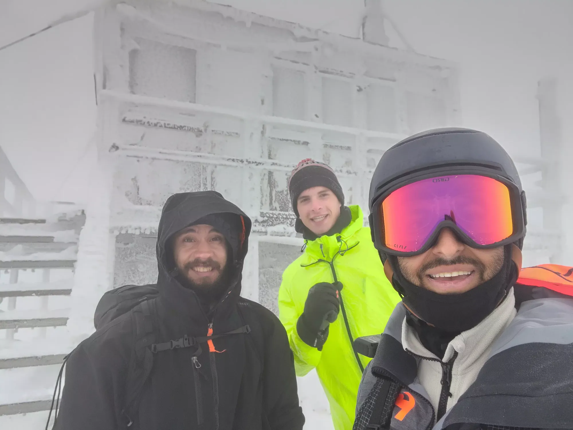
From the pond to the top took us an hour, mostly due to the difficulty of routefinding in the dense fog (fewer trees to clearly denote the road the higher we got), plus we made one intentional detour to explore a steeper slope in the switchbacks to see if the skiing might be fun, which wasn't the most time-efficient choice, as I ended up needing to bootpack out over a small cliff band to rejoin the road. As we got to probably 2150m, the snow became wind-affected and quite firm, with some icy patches as well. Above 2000m we started to feel that wind, and had to zip our shells back up to stay comfortable. We found an old outhouse just below the top, and hit the lookout at about 3:30pm.


We spent about 35 minutes in/around the lookout, taking a load off (though the lack of chairs/benches could be improved, sitting was a bit of a challenge), having some water+snacking, and Logan took a call since there was strong cell reception. We probably pushed it a bit too long with where sunset was coming, but ending conversations can be hard sometimes 😅. I took an obligatory cringe selfie with the lookout in the back before heading down. I bootpacked the final icy+rocky stretch from the top to the road, then finally got to reap the rewards of my far-heavier setup, and locked my boots+bindings in for the ski down.
The skiing down to the ~2000m pond was "alright". There wasn't enough vis, or really snow coverage off-trail to explore fun terrain, so it was mostly just going in a straight line, with occasional shortcuts at the corners of the switchbacks, and sometimes just a single arcing turn at the switchback itself, but hey, it sure beat walking! Below the pond, there were a couple annoying sections I had to walk up, but I got down to about 1980m before I swapped back to skinning, and we re-started the traverse back across the mountain.

The walk back across took about 1 hour and twenty minutes, getting us to the top of the final descent at about 6pm. Here, despite it not being totally dark, we put our headlamps on, as it was getting increasingly difficult to see our tracks in the snow in the flat light, which was a massive improvement, and something I'll be more proactive about in the future seeing how much easier it was with extra light.

After we strapped those on, we lost about 100m on gradual slopes, until I got confident enough that the slope was consistent enough that I could rip my skins and start skiing again, so I transitioned at 1875m to skis, vowing to ski until the snow got too thin, and then I'd just bootpack from there. This was quite effective, as the road was sufficiently covered, and a slight enough angle that I could just point myself down our skin+snowshoe track from the morning and yeet down, and cut speed to the side when necessary. I played cat-and-mouse with the guys down to 1750m, where the rocks started coming back with a vengeance, and I packed the skis up for the final walk down.

The final boot down took another 15 minutes, and it was over, just about 7 hours long on easy terrain, and my 10th ultra done! While this was probably still the easiest ultra I've got, I'm happy it was at least a little more "legit" than just driving right to the top, as one might in the summer, or later in winter with a sled. After packing our gear up, it was a simple (if long) drive down, then back into town.
Unfortunately, we realised on that drive back that we could've just driven to Salmon Arm directly on highway 97B if we realised it, but sadly Logan left his tent to dry back at our campsite in Sicamous, so we had to go back to retrieve it. The original plan left a contingency to camp again on Saturday night if we couldn't drive home, but I was feeling "awake enough", so just before 9:00 as we left the campsite, I found a pizza place in Salmon Arm about half an hour away, and we ordered some food to eat in the car so we could drive back without interruption/delay, hoping to get as far as possible before I got too tired to drive.
That worked pretty well, and we left Salmon Arm at 9:30, with Google Maps giving us a casual 2am ETA in Squamish (which was more like 3am, since we were going to overlap with Daylight Savings time, so the time spent was an hour longer than the ETA indicated). I had hope but not that much confidence I could stay up that long while remaining alert given the last couple days of poor sleep and day of exercise, but I'm also pretty good at driving post-hike without getting tired, so I wanted to try my best to get us home with Sunday still usable.
The drive to Kamloops was uneventful, if a bit tedious due to the lack of passing lanes and a few slow trucks, but after filling up gas there, we got the nicer highway to Merritt, and once we got there, the Coquihalla is even better, and we could drive much faster due to the constant multi-lane and higher overall speed limit. Sadly, the good conditions didn't last too long, and after a few minutes on the Coq, it started absolutely DUMPING rain, probably the heaviest rain I've ever driven in. There were also quite a few low clouds, and some heavy sand/salt to make things extra spicy, which unfortunately slowed things down a bit. I actually wanted to pee at the Zopkios rest area, but it was raining so hard I didn't want to get out of the car, so I just kept going 😅.
The descent down to Hope was more of the same, until we actually got down to town, and the rain eased to just "regular heavy rain". I thought that was the end of the unpleasantness until we got to the Flood Hope Road exit just around midnight, to be greeted by flashing lights and traffic cones. It turns out part of the mountain (not sure which one) collapsed due to the rain and was either endangering or fully encroaching onto the road.
Thankfully they were helpful and told us how to get onto highway 7 to bypass the blockage, I guess I should be happy this at least happened somewhere with an alternate route. With that out of the way, we managed to get into Agassiz via highway 7, then back onto the highway. Soon after, the rain cleared up, and I got Michal home at 12:45am, then back to my place by 1:30am. I was quite happy to have managed to stay alert the whole time; in fact I even had time to help Logan look for his keys (he lost em in one of his various jackets' pockets, had to like totally unpack his stuff at the car), watch some TV, and unpack all my stuff before I finally crashed at like 3-something.
Overall, this trip was more of a logistical and driving challenge than an actual physical one, but it was still pretty fun. The skiing was at least better than my first attempt this season, and hey, an ultra is an ultra. I have been excited to get up to 10 total, so my Peakbagger page top 10 prominence list would be entirely ultras, so that alone is enough to make the trip worthwhile. Here's to hoping the effort brings lots of snow to the local mountains so the next weekend can be both local and fun 🙂.
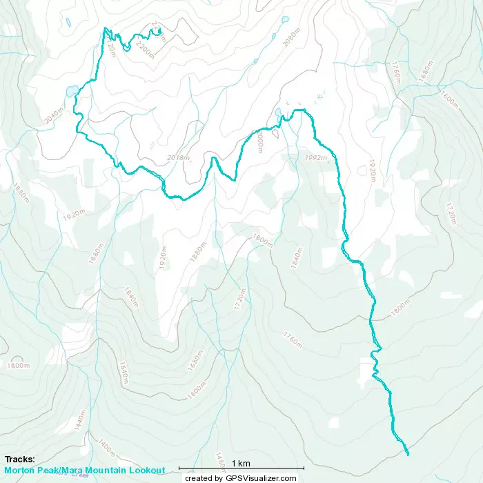
GPX Track + Map