Mamquam Mountain - April 18 2025
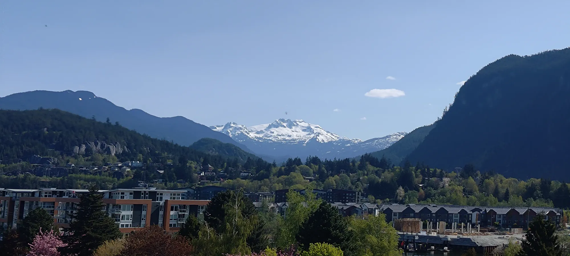
One of "the big 2" peaks I can see from my home in Squamish every day, this is a prominent, glaciated summit that towers over the town of Squamish. A bit of a classically gnarly BC approach, but some rewarding skiing once you break out of the trees.

Mamquam Icefield, Squamish, BC
2588m
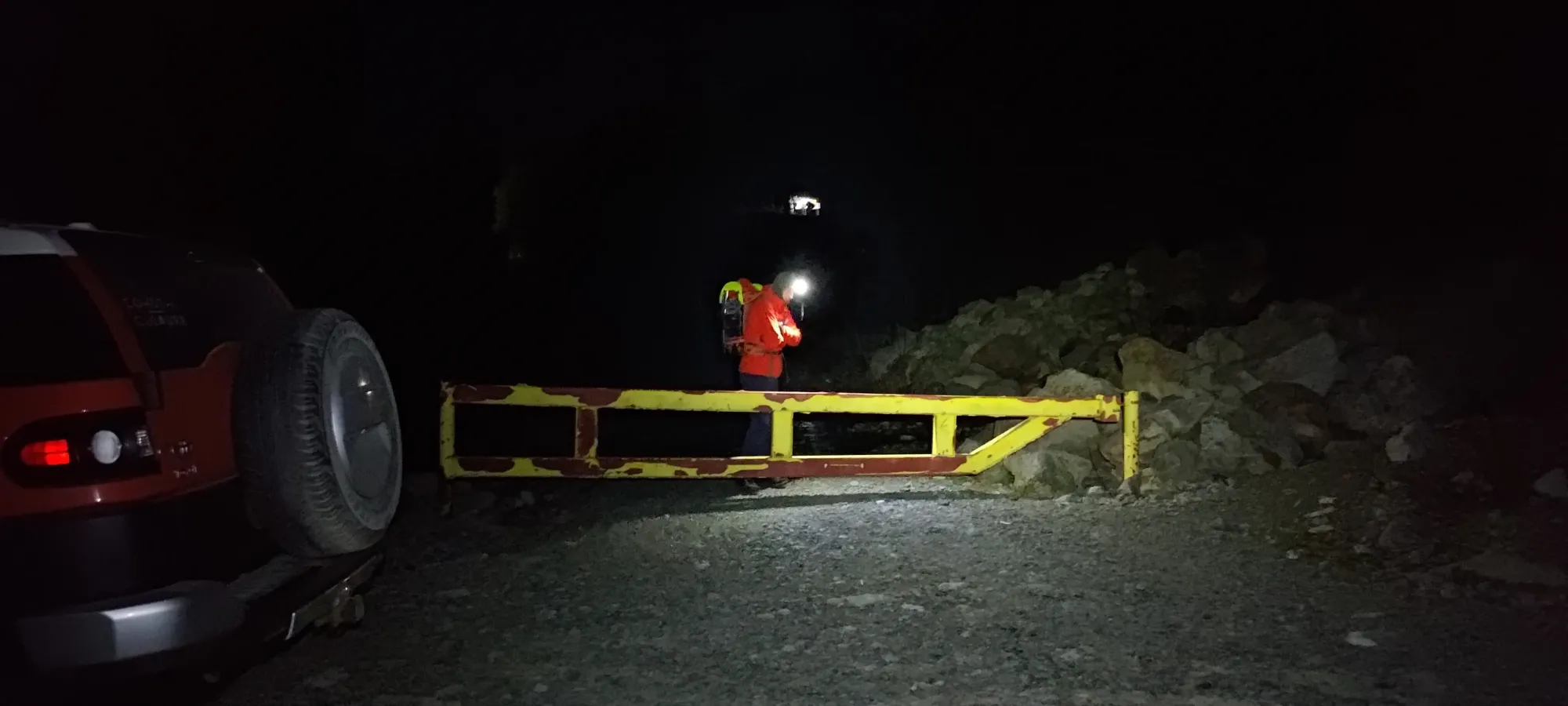
With this being the Easter long weekend, normally I'd have organised some kind of road trip for prominent peaks a bit further from home. However, given I just did one in the last couple weeks, the weather wasn't looking stellar for Saturday/Sunday, and there's still the whole "America not being the most welcoming place these days" problem. So, I instead turned my eyes to Friday, the best weather window, and looked at what could be done close to home. The most obvious candidate was Mamquam. It's one of the 2 peaks I stare out at from my desk every day when I'm working, it's a great ski, and has a very narrow ideal window (for those without sleds) to be able to drive to the trailhead, and still get decent ski vert in. At least if you don't hate camping, which I definitely do. So, I messaged some buddies who I knew also wanted it, and sure enough, a plan was already in motion! I tacked myself onto the list, and a massive party was formed to meet at o-dark-thirty at the start of Mamquam FSR and head up. Think the total group was about 10 people, and 3 vehicles 😅. A new record for my largest party, for sure.
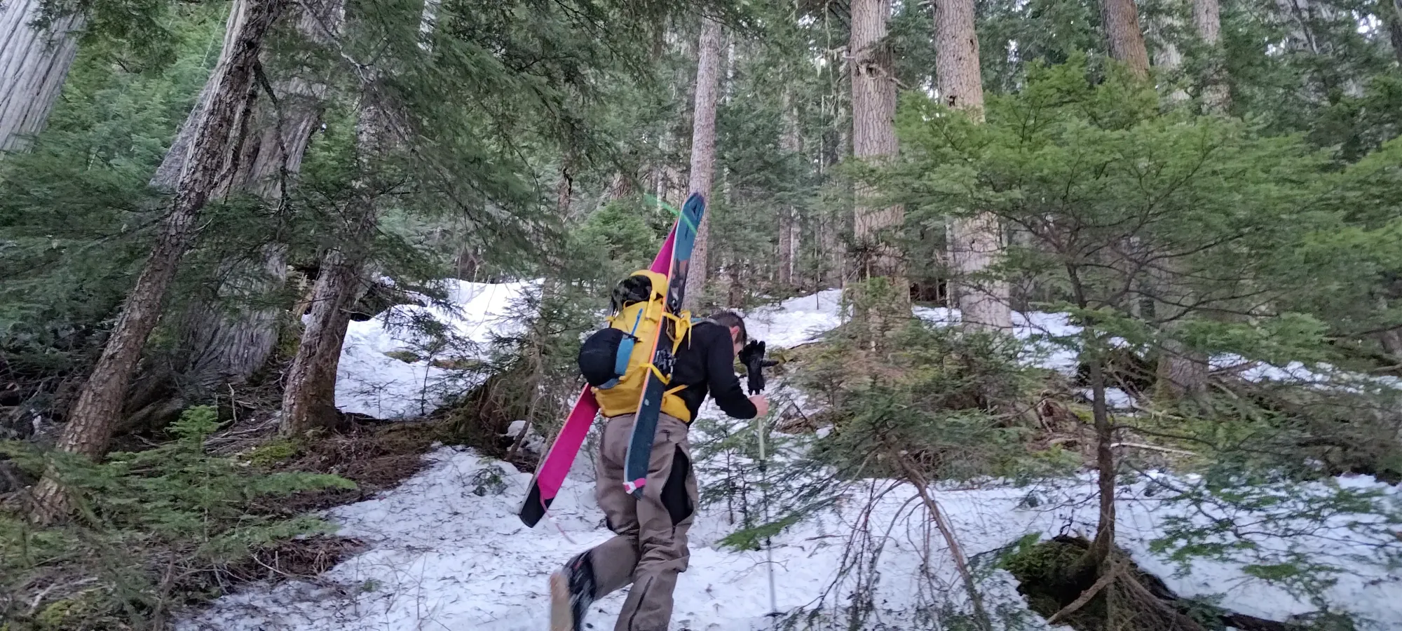
With a big group like that, things are always a bit delayed, so we got to the trailhead a bit after 4am. I just barely managed to go to the bathroom before we started hiking, though that did make the "ski party" within the group (me, Logan, Kelly, and Tanveer) start a little behind the rest of the group, who went ahead on snowshoes. I was just happy to hopefully get that mostly out of the way before we started moving, as stopping on-trail to do that is a huge pain. One of the reasons I don't like these stupid-early starts, my body just doesn't adapt well in that regard. Oh well, sometimes those are just the cards you're dealt.
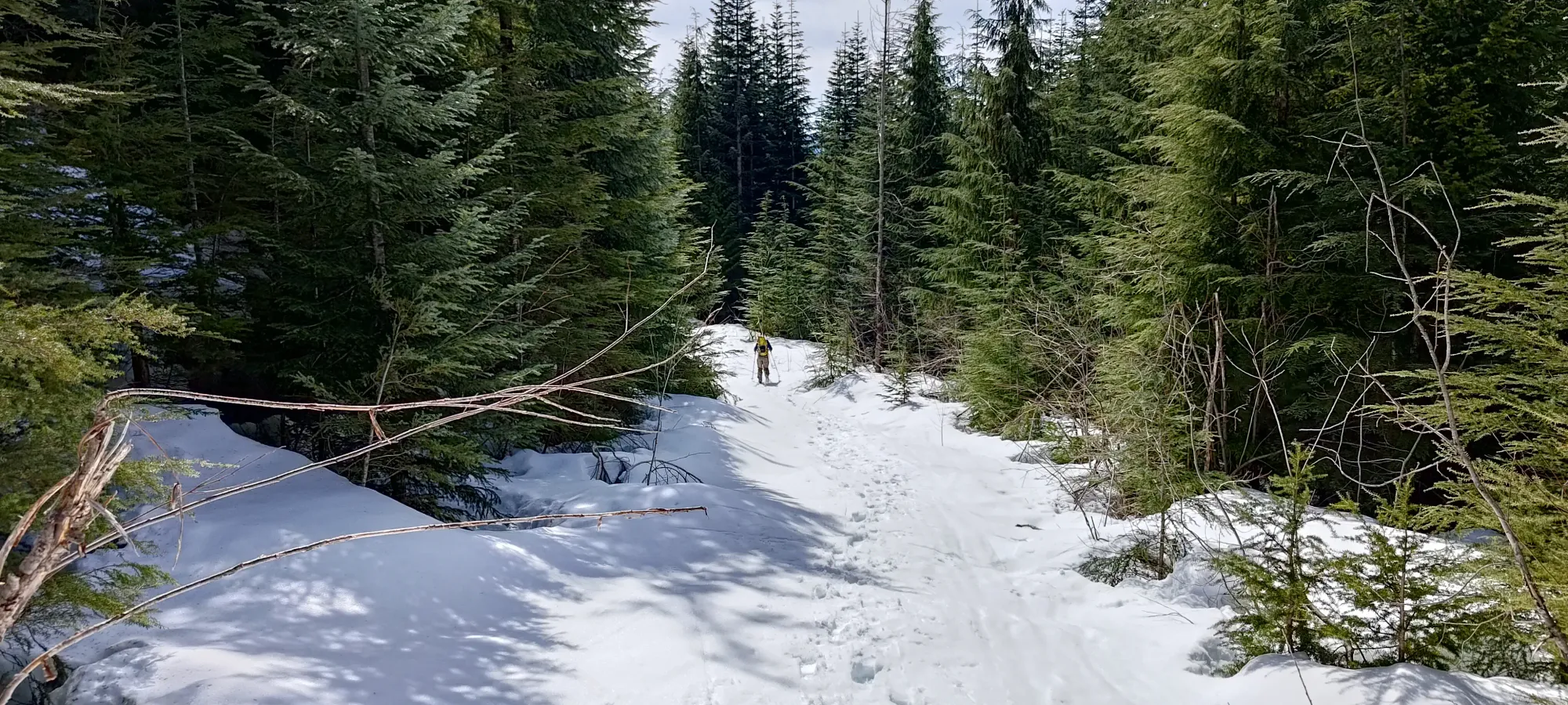
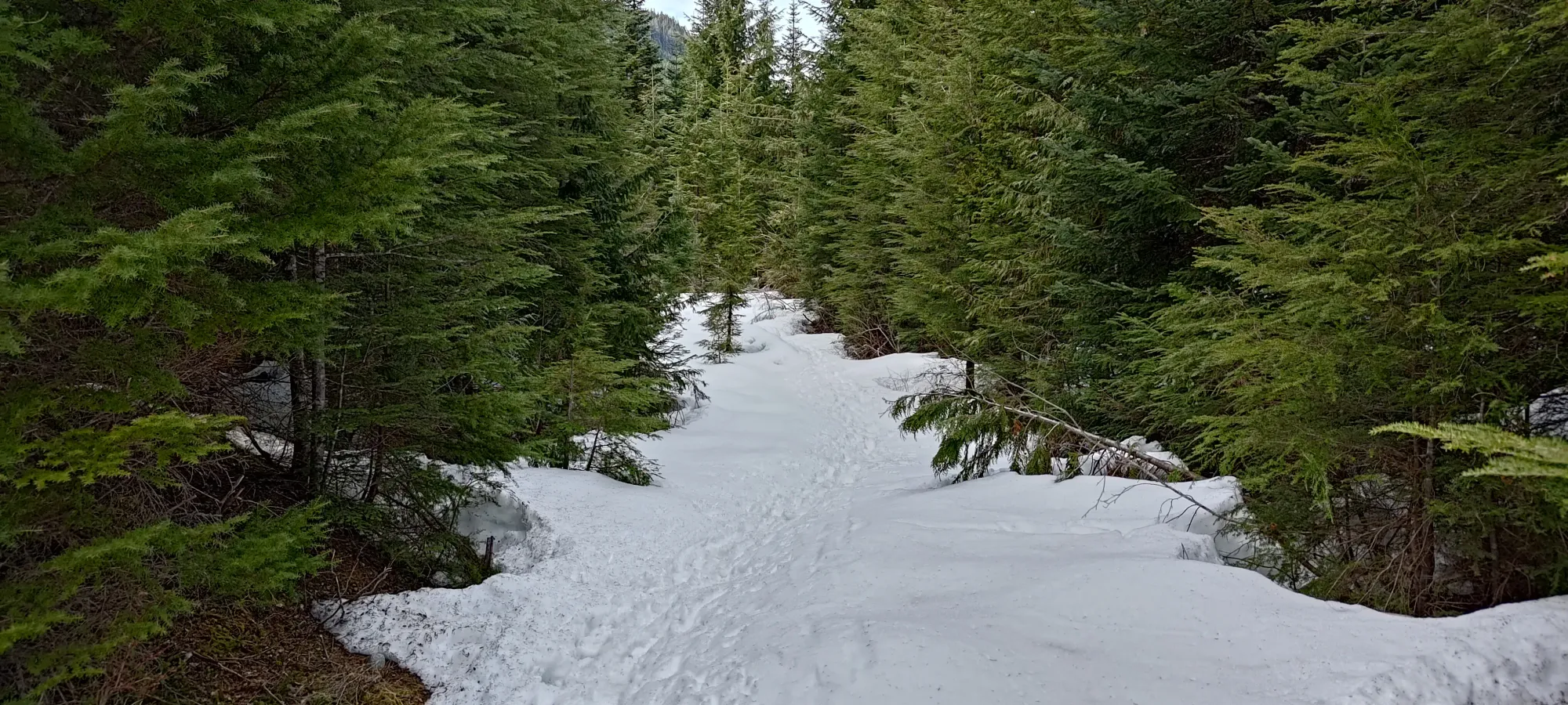
After the mostly-dry (just a couple snow patches on the way up) drive, we were surprised to find snow pretty quickly after starting the hike, just a couple minutes from the parking lot, we hit snow on the old FSR. That was encouraging, though it was still quite patchy, with gaps that made for easy enough walking, but promised a not quite car-to-car skiing experience. As such, skis stayed on our packs.
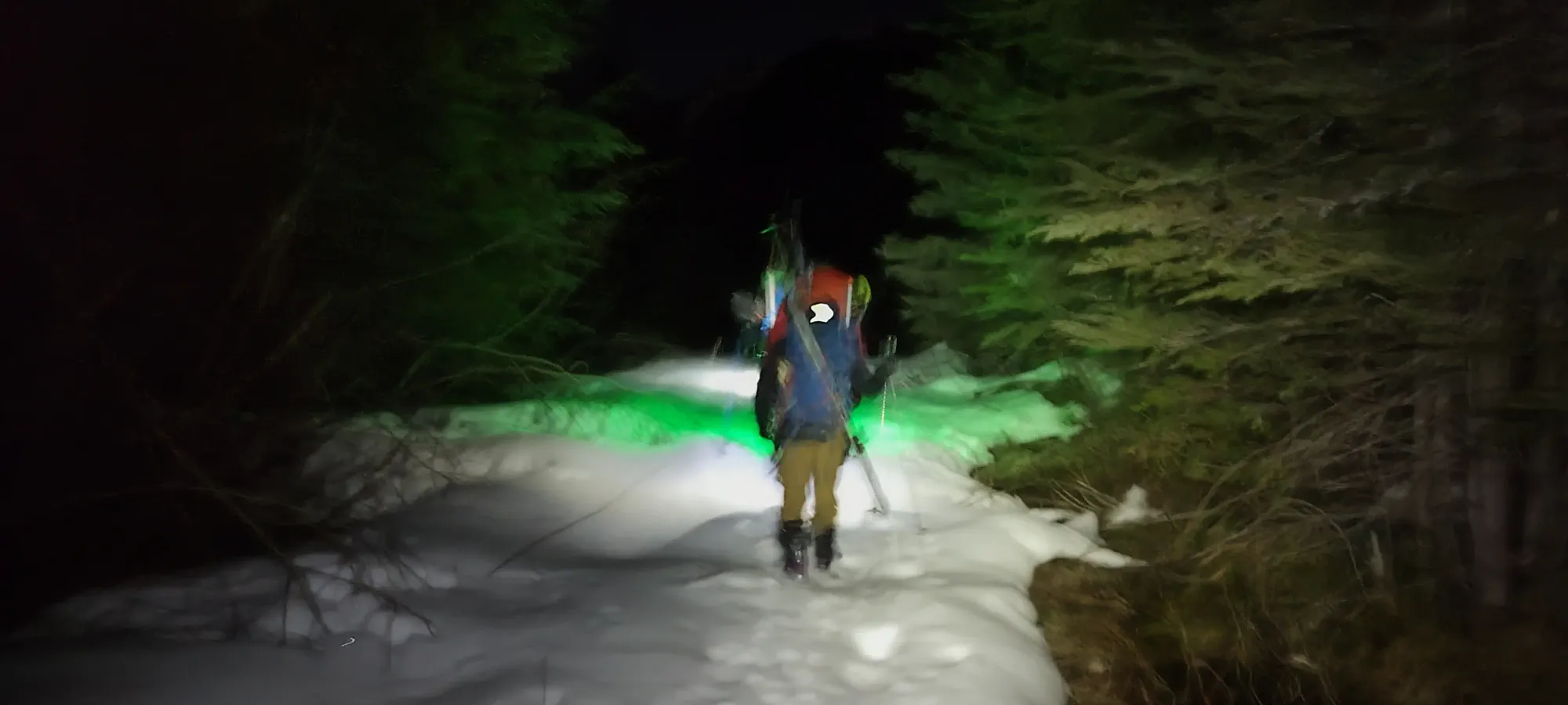
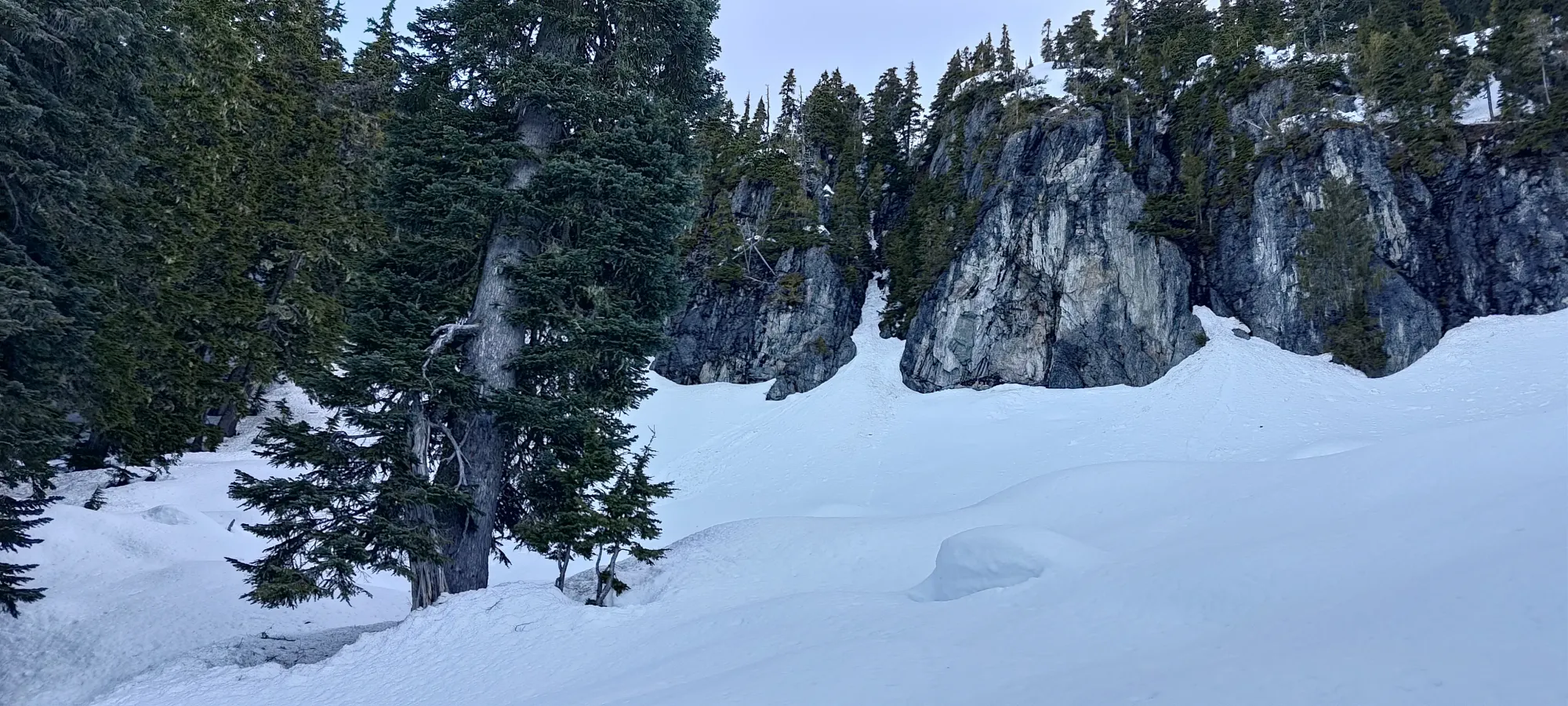
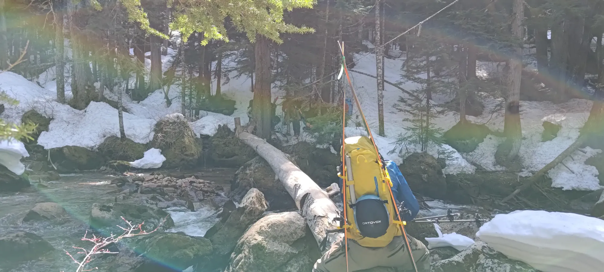
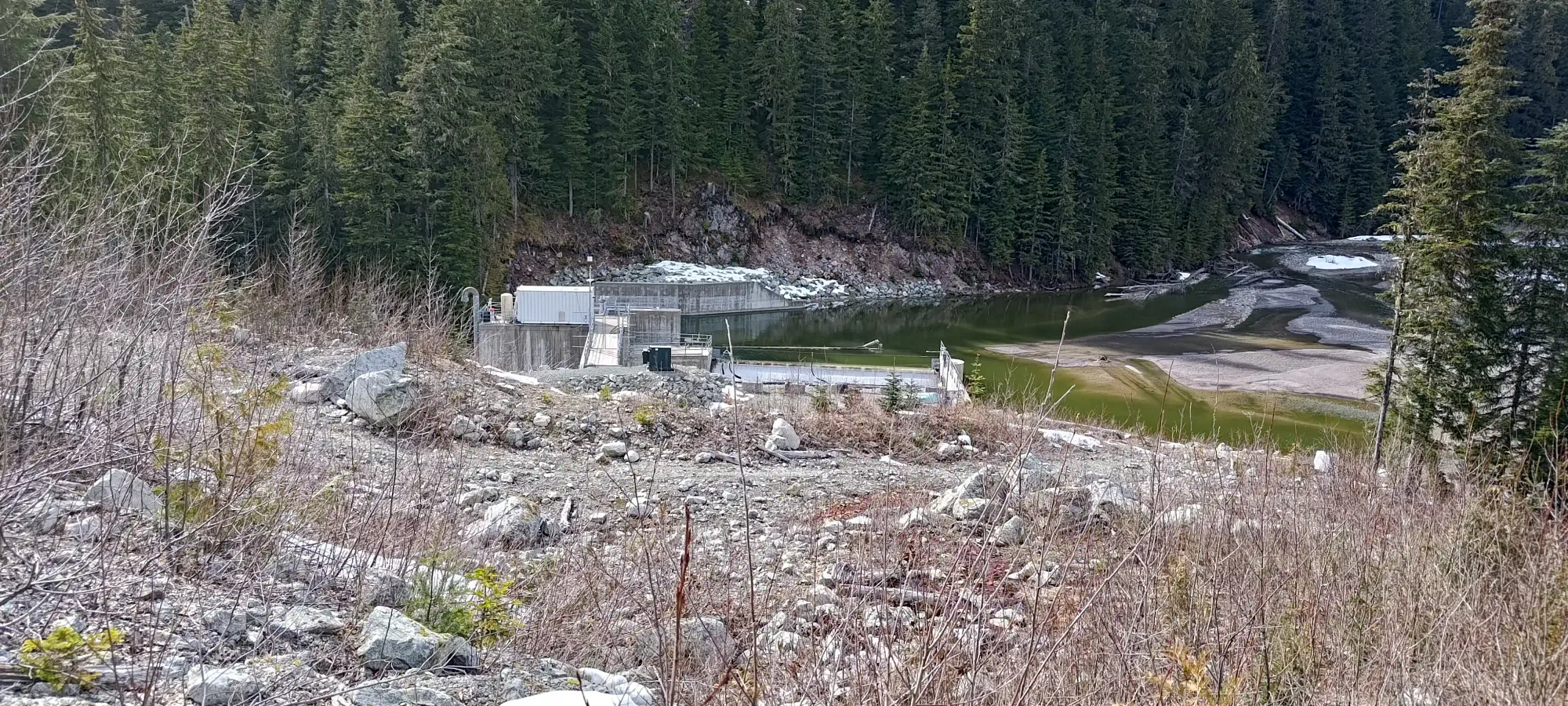
We continued up the road, and onto the Darling Lake Trail in this manner, initially with hope that "soon we could put our skis on", and that hope dying over the next 250m of gain that didn't meaningfully change the consistency of snow coverage at all 😅. That same 250m took about 3km, so this part of the approach is quite gentle. That brought us into enough daylight to put our headlamps away, and also to the infamous log crossing at Paranoid Creek. Here, we saw the tedious log we'd soon be shuffling across, and the snowshoers ahead of us wrapping their crossing up. It took us about 80 minutes to get there.
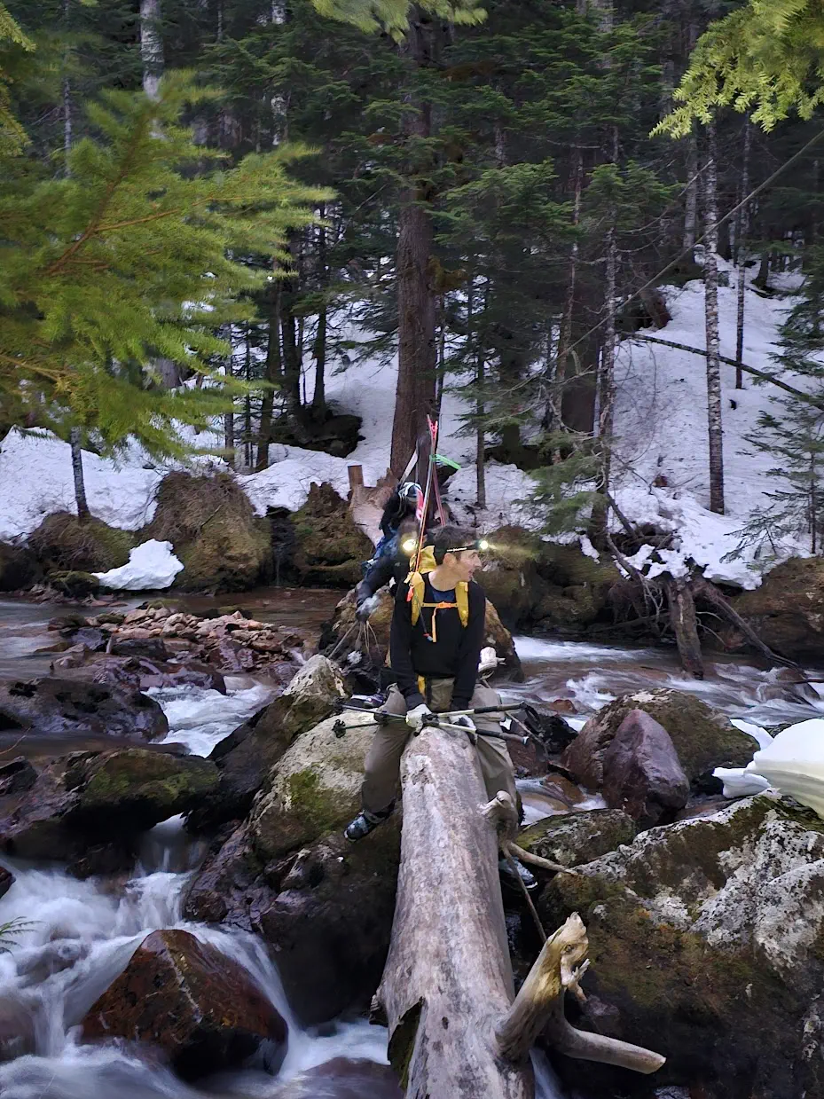
Shuffling across was way more tedious than it should've been. Of course, ideally, BC Parks would've got their heads out of their butts and allowed the trail/bridge to exist officially (the log has nicely-flattened, cross-hatched sections to walk on, but it was forced to be rotated for whatever reason. You can see some commentary on that here). Since it is just a smooth log now, and the handline is now just a thin rope too far and flexible to provide stability (I have heard some Tyrolean with it), we just shimmied across, which was quite tedious, though very doable and safe enough. The three of us (myself, Logan, and Kelly) got that over with, then waited for Tanveer to catch up, which took a few minutes. In that time, the snowshoers took off ahead of us, eager to take advantage of all the firm snow they could. While we waited, we debated putting skins on, as the snow looked pretty consistent, but Kelly convinced me not to. Logan decided to try it though, to my surprise.
15 minutes after arriving at the creek, we started to move again. Kelly started up at a faster pace, so I decided to match it, and Logan hung back with Tanveer. I figured given the early start I would probably have a few bathroom breaks en-route, and that would allow our paces to equalise in the long-term, so that made sense at the time.
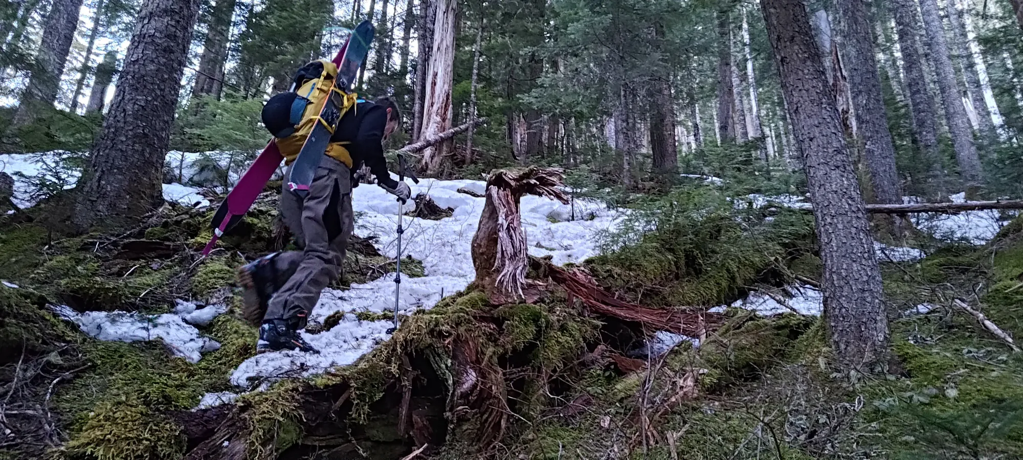
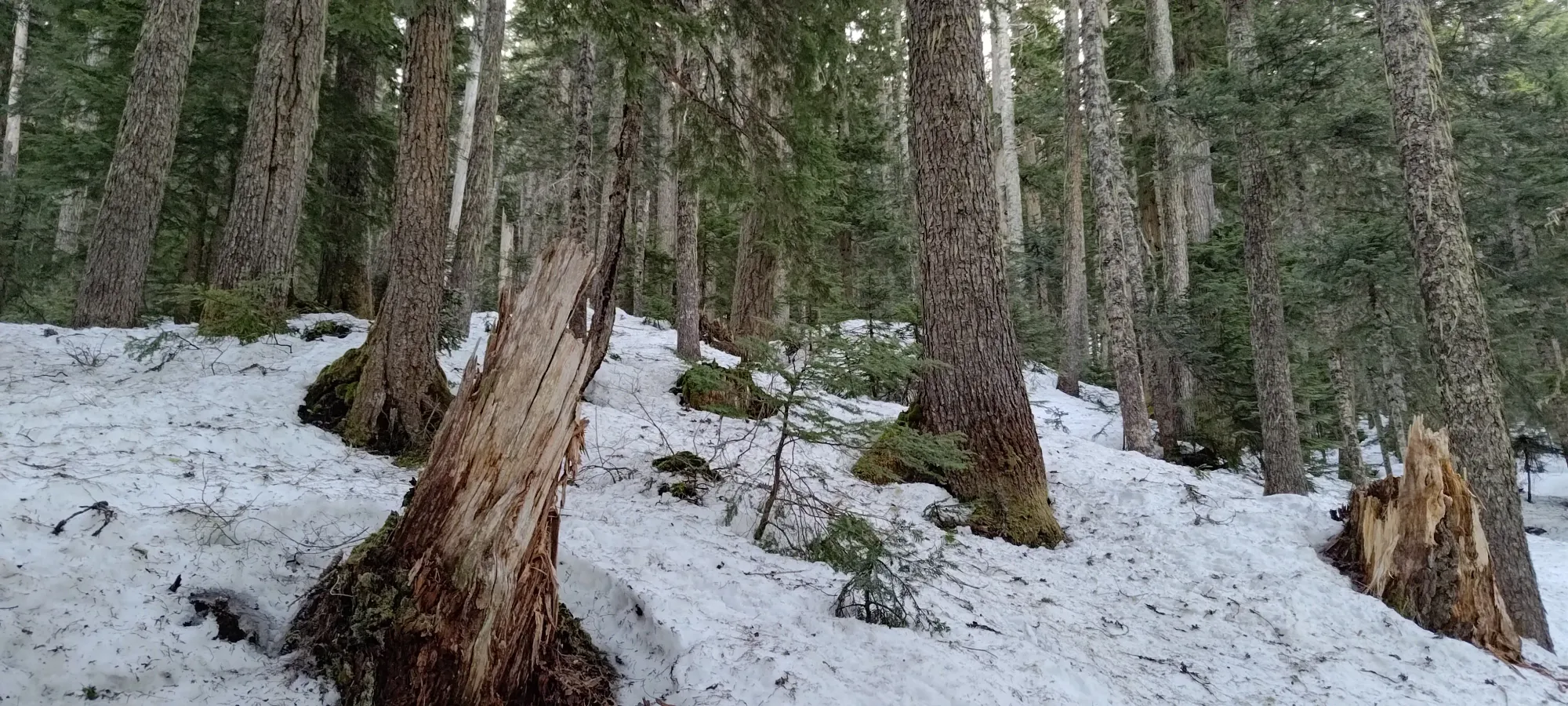
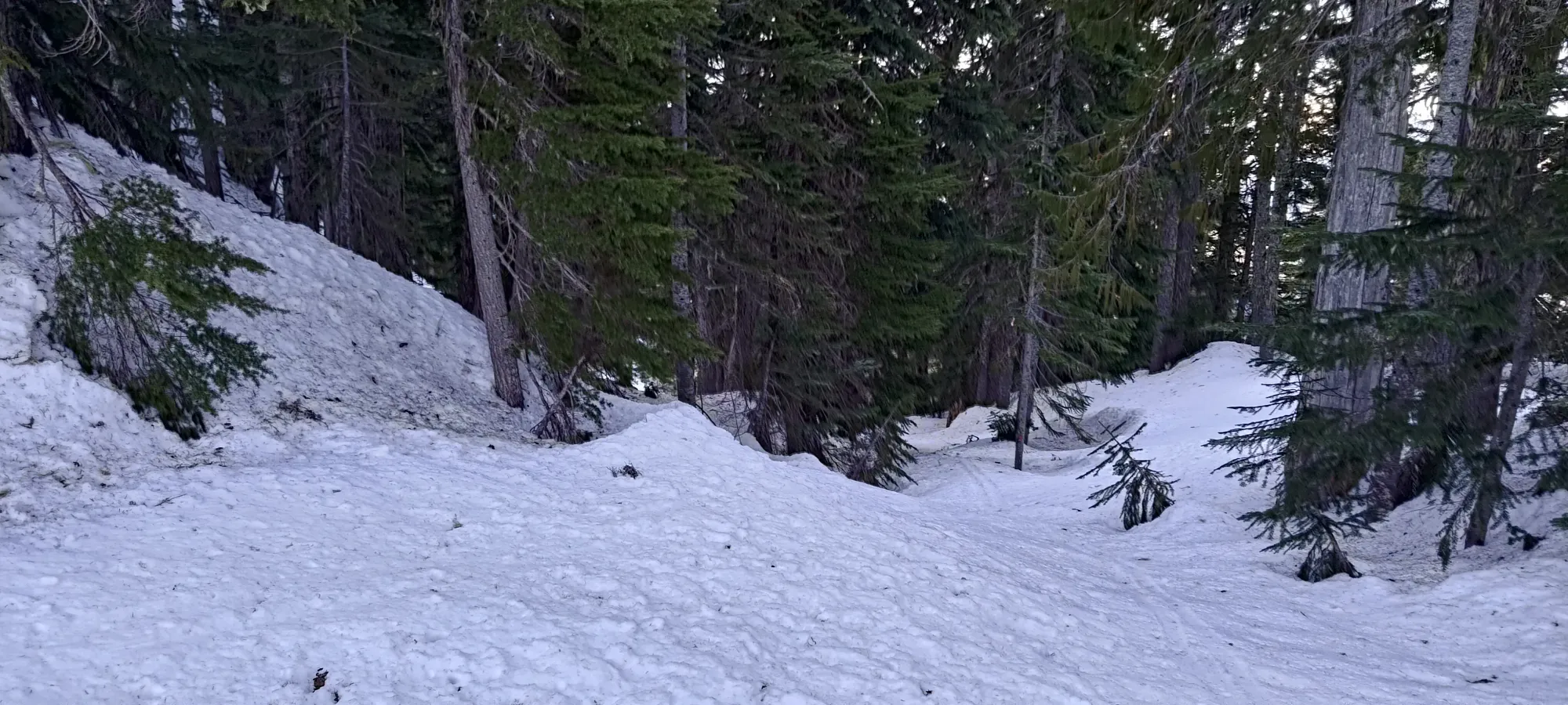
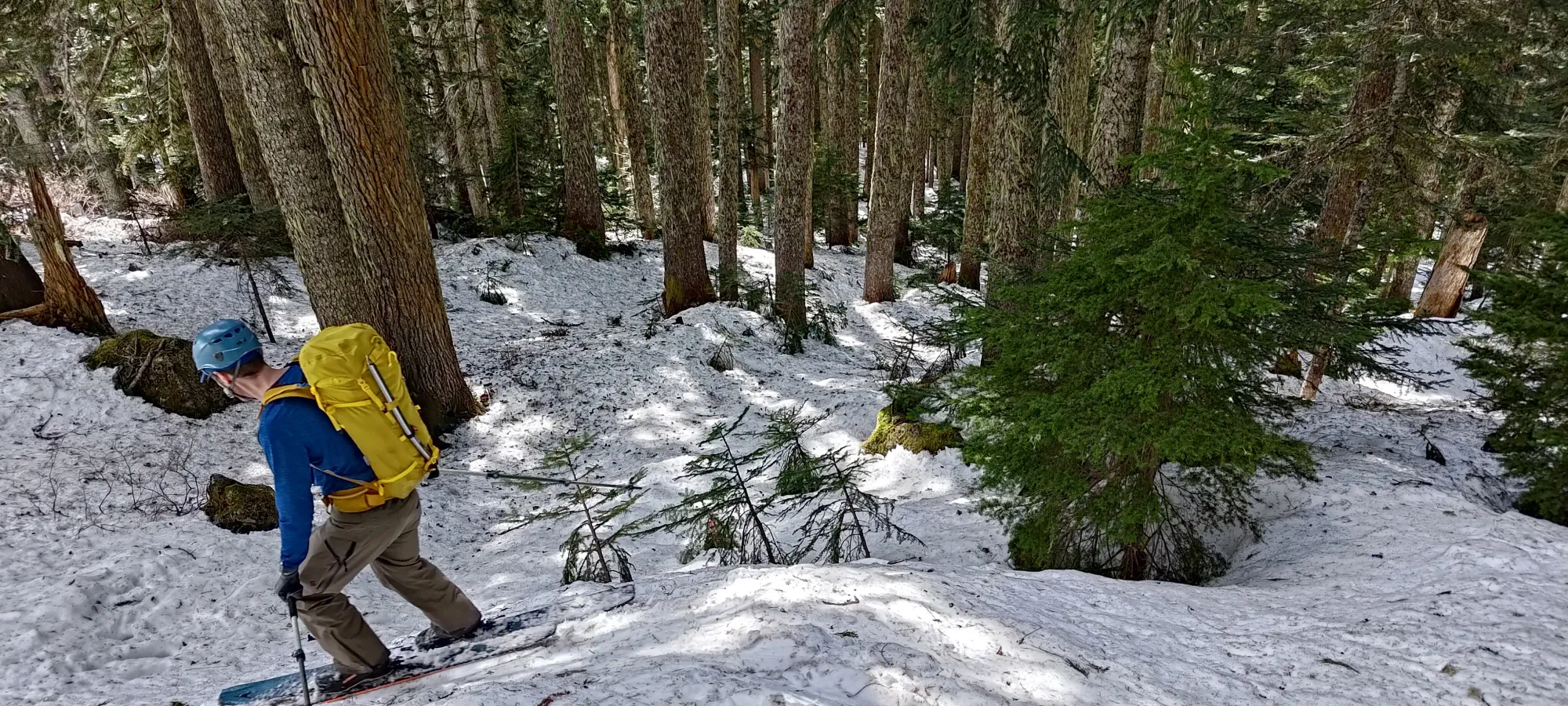
It was the right call to leave skis on our backs, it turned out, as the snow was consistent for maybe 10 minutes, but then nearly disappeared near the trail for quite a while longer after that. Some parts of the forest had better coverage than others, but it wasn't really what I'd call skiable. Kinda annoying that there was snow below 800m on the drive in, but still spotty coverage even over 1000m. The wrong aspect and amount of shade can do that to you, though 😞
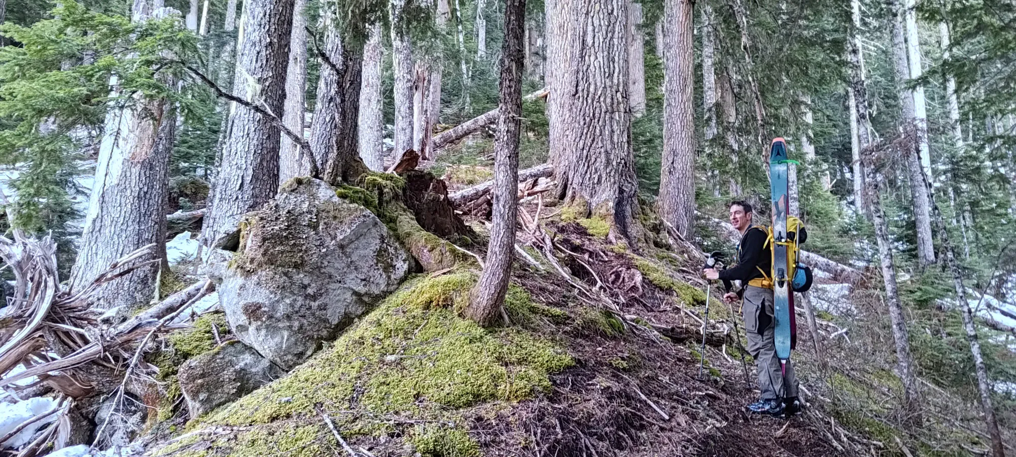
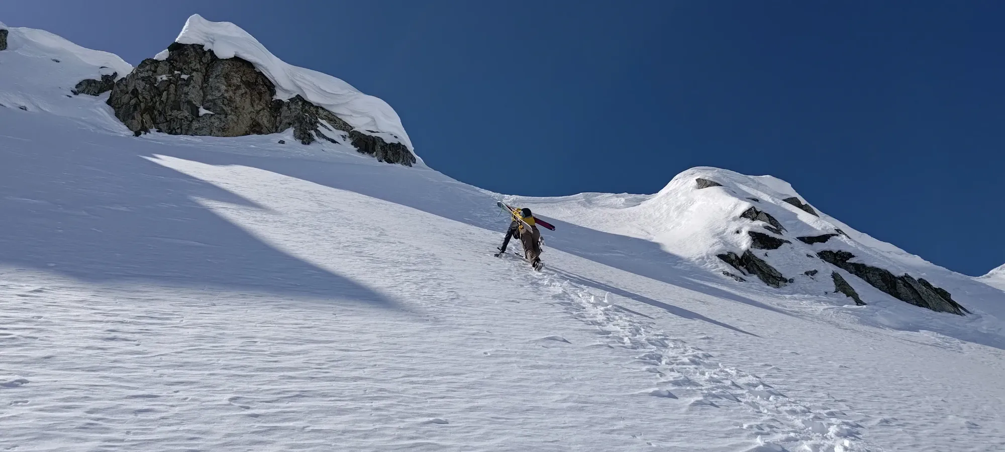
We toiled up the steep forest trail for about 200-250m of gain until things actually got consistent. By 1300m, the grade started to ease off as well, so we slapped our skins on then, now 2.5 hours into the day.
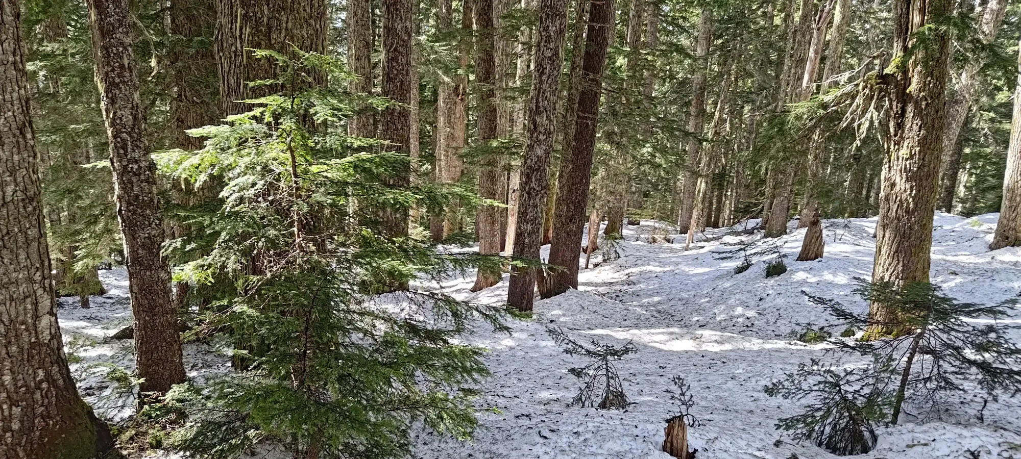
From there, we skinned up the forest fairly easily, and in just a few minutes, we popped out into a boulder field, just below 1400m, where the route curves left/north to parallel the 1600m ridge that guards Darling Lake. We stayed up in the boulders for ease of navigation, though the sidehilling on firm snow was a bit annoying (but less so than if we had snowshoes, at least).
That lasted until about 1500m, where we had a short stint of forest again, until we popped out into one last boulder section at 1550m, where we had to contour around some cliffs and up a steep slope to get back into the trees and top out to the ridge. Kelly decided he wanted ski crampons for that steeper slope, so we stopped for a bit of a break. I kinda knew I would have to go to the bathroom again, and we were a bit worried about getting too far ahead of Logan+Tanveer, so I decided I should have a snack to see if I could prompt myself to go to the bathroom and eat that time up (plus I'd get to do it before we got into the alpine, which is generally nice to avoid).
I did have that snack, but I wasn't quite ready to go even after that, so we decided to start moving gain after about 10 minutes. The switchbacks up the firm snow were annoying, and Kelly actually busted a ski crampon after slipping! I haven't seen that before, but I'm glad it was just a ski crampon and not a binding piece, that'd have really sucked. He just booted the rest of that section while I skinned ahead, thankfully with intact crampons.
Once you get up that steep slope, there's a little forest, and then you're deposited onto the ridge, and you can finally see some mountains ahead of you! I had my bathroom break right around that time, which gave Kelly time to catch up, get his skis back out, and jump ahead of me again. Once I was done, there was still no sign of the others, but we figured we'd at least press on to the lake and get to that nice, natural checkpoint before considering anything further.
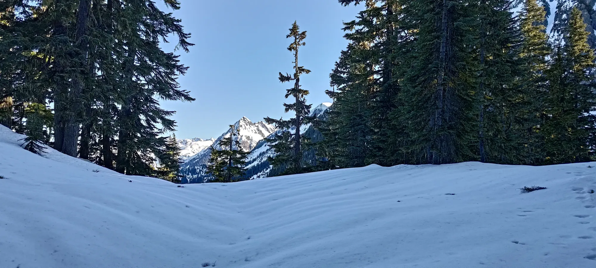
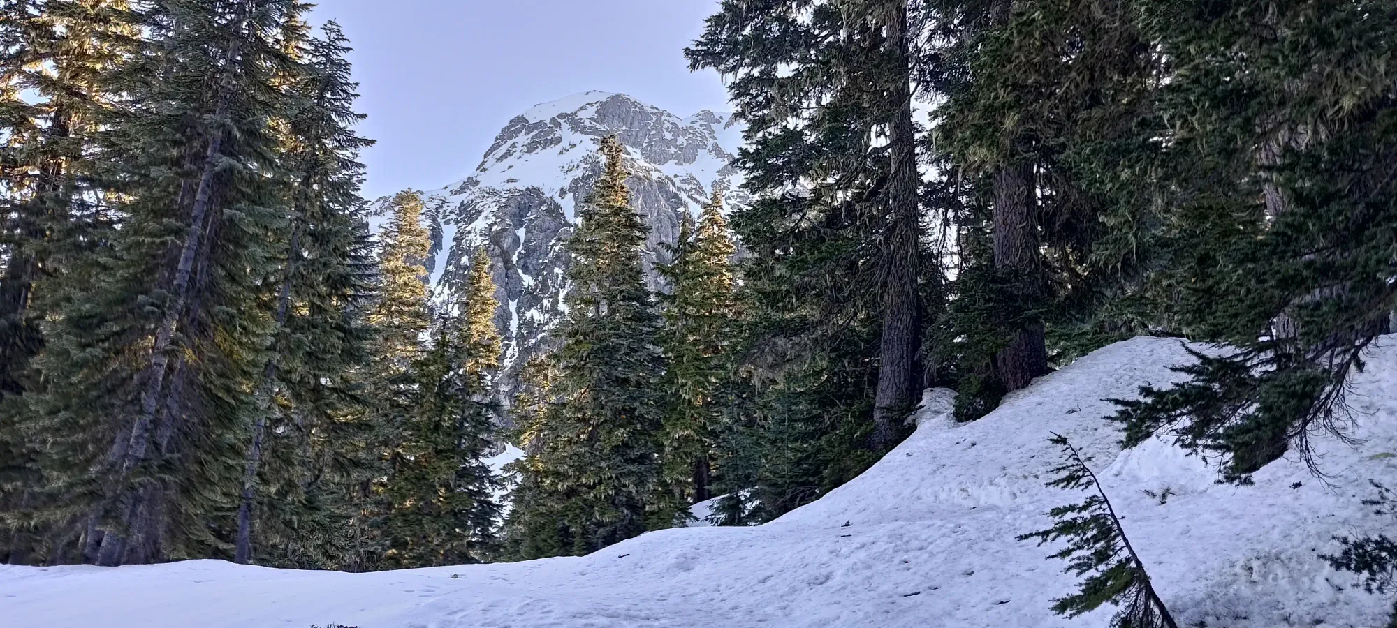
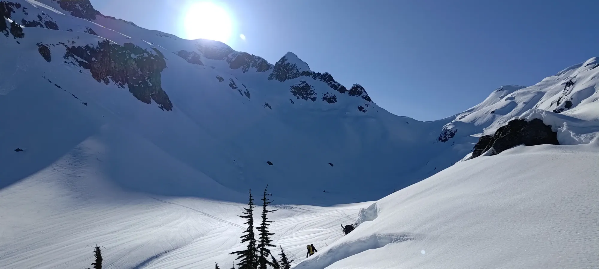
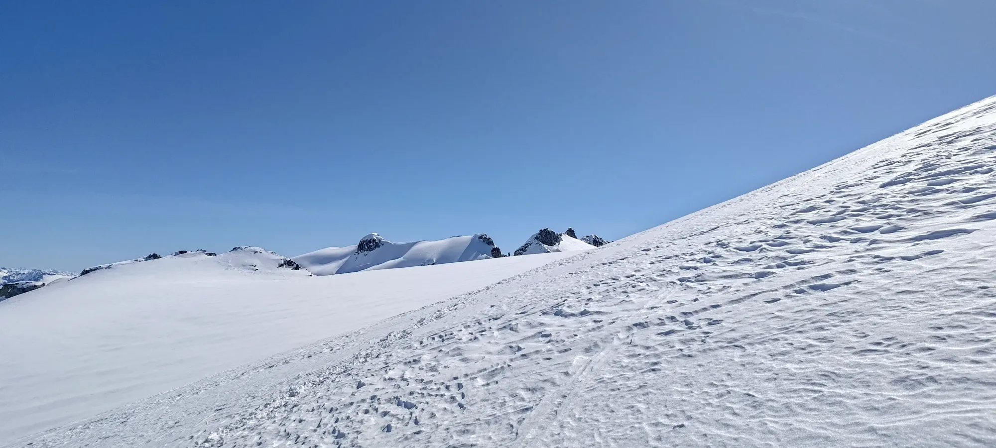
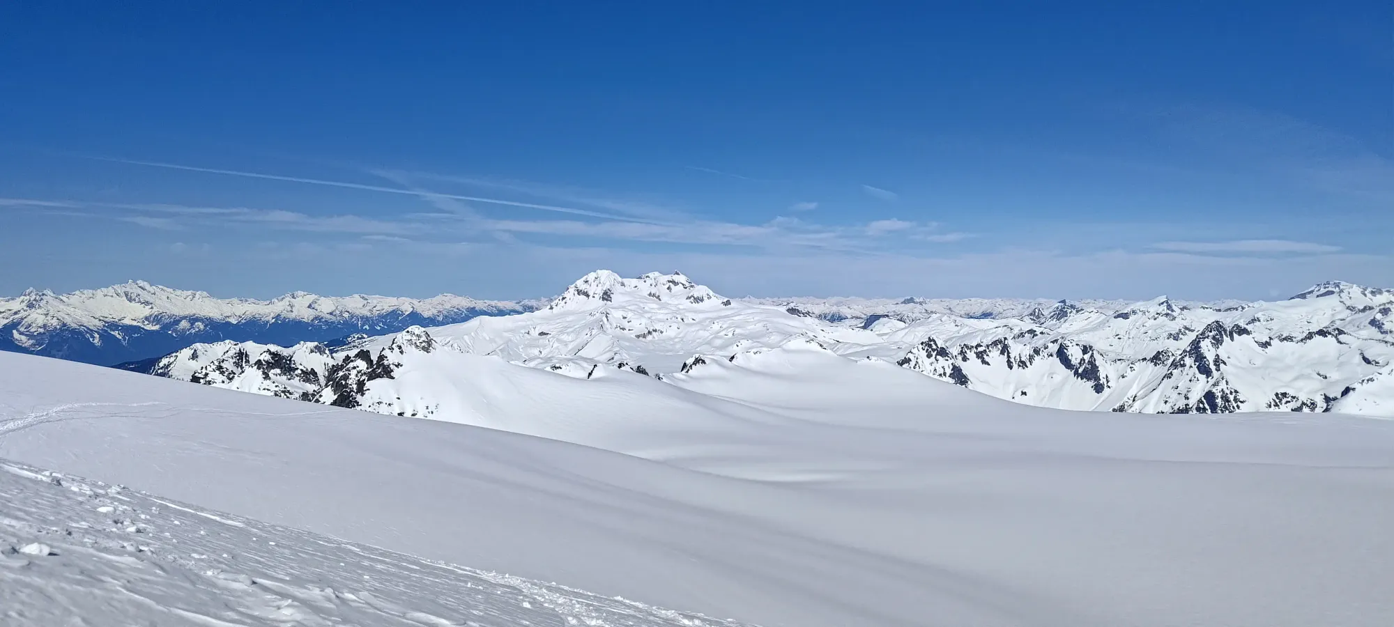
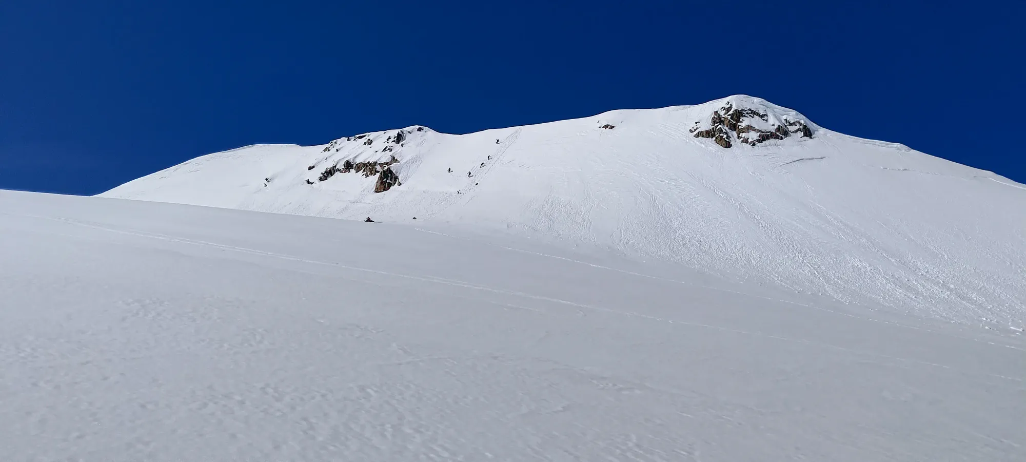
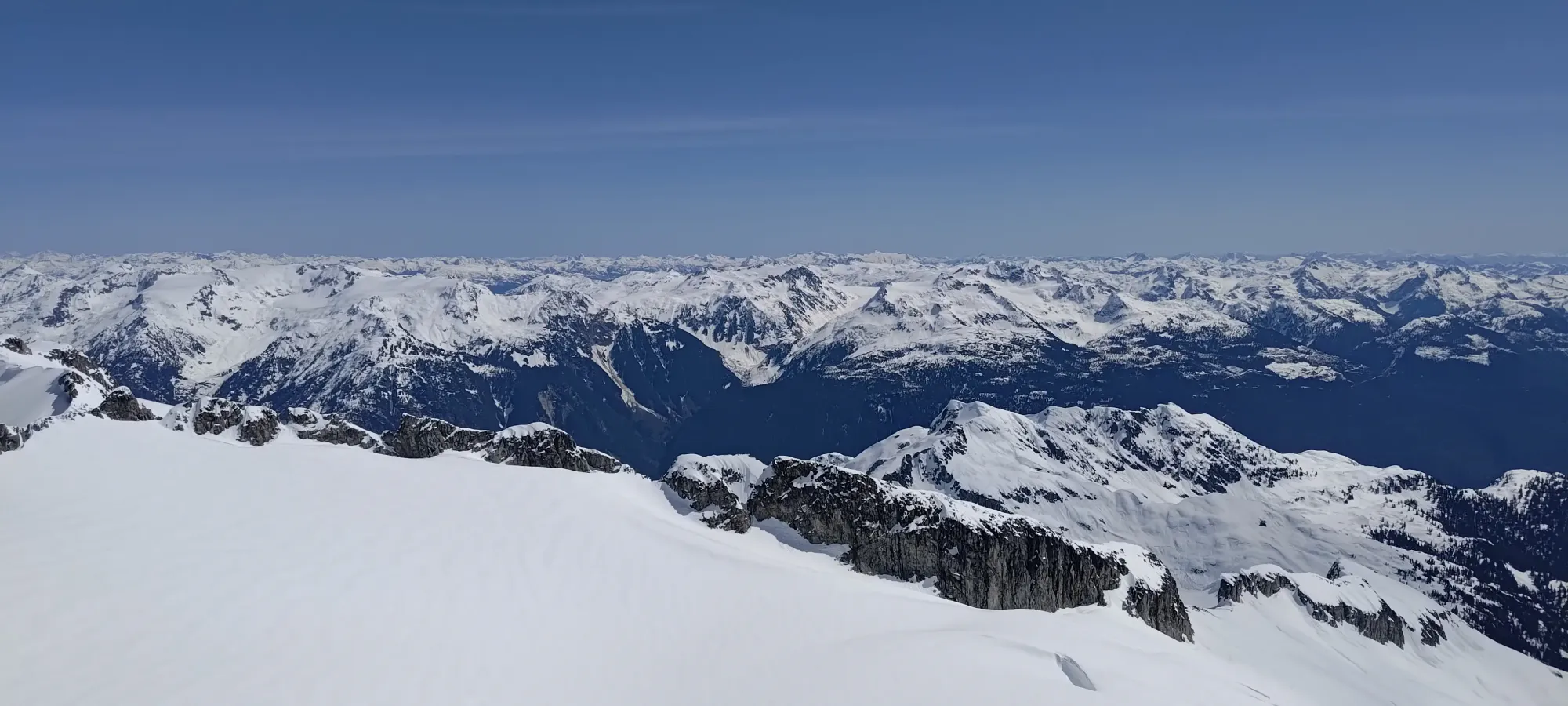
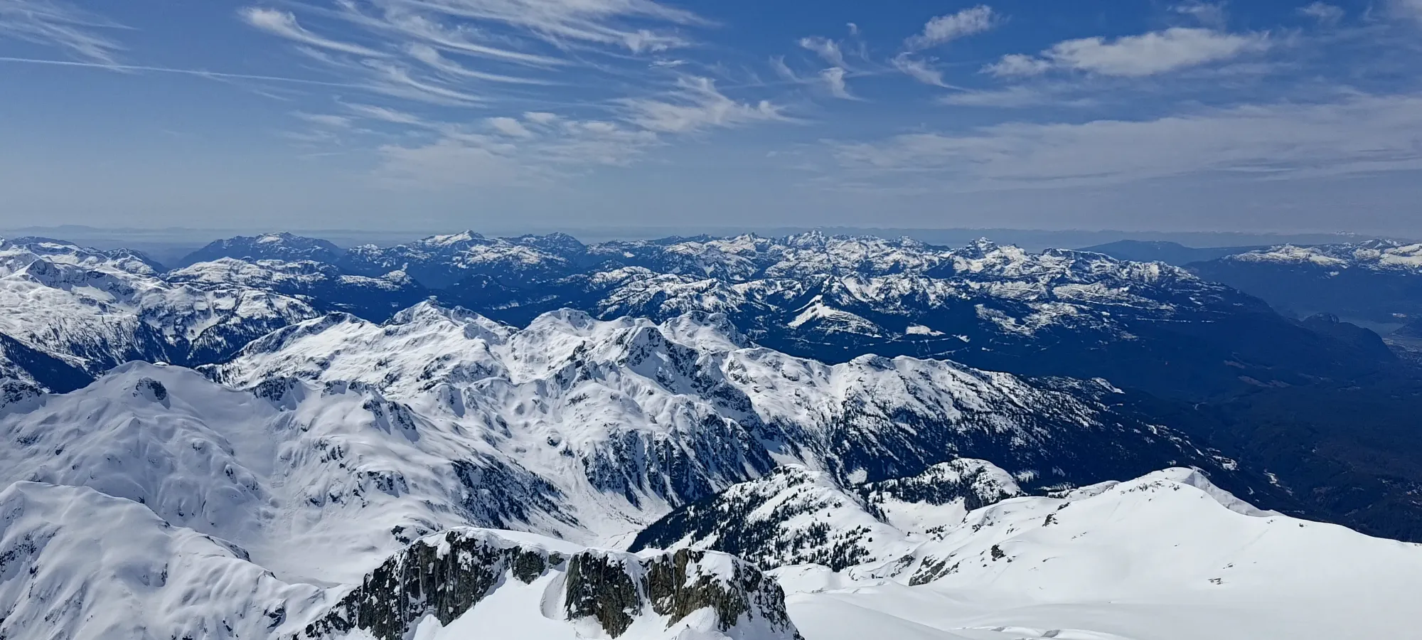
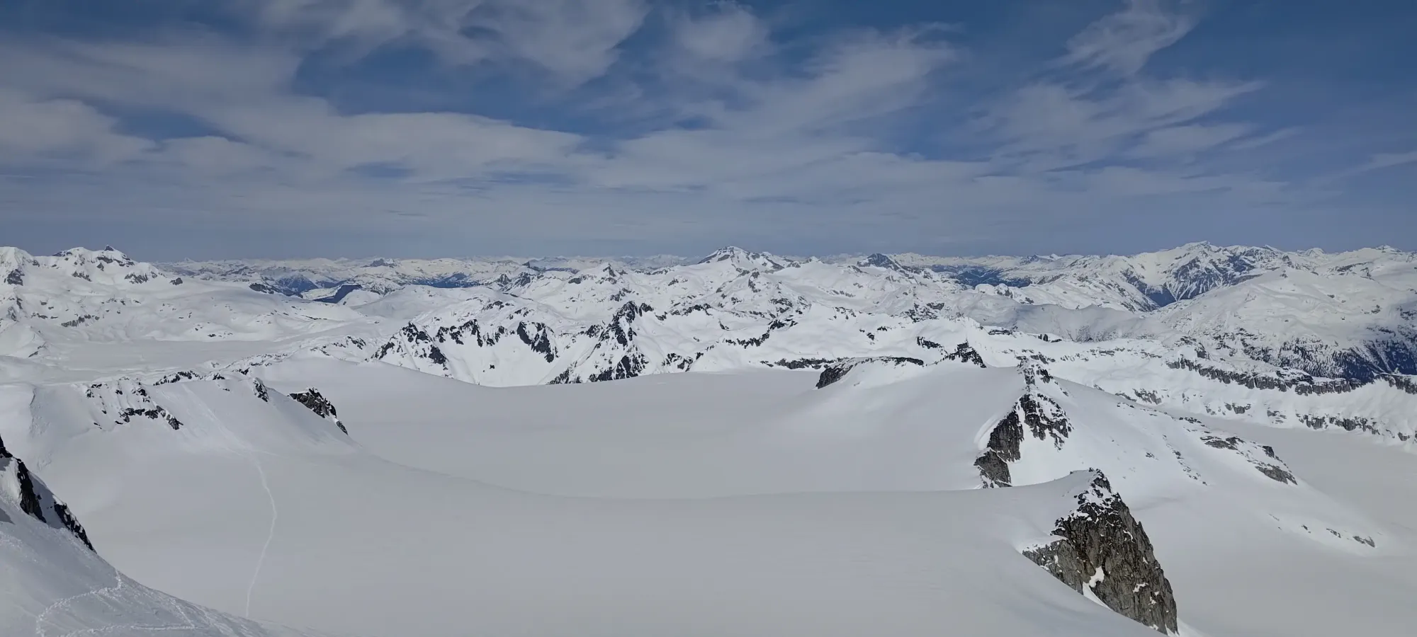
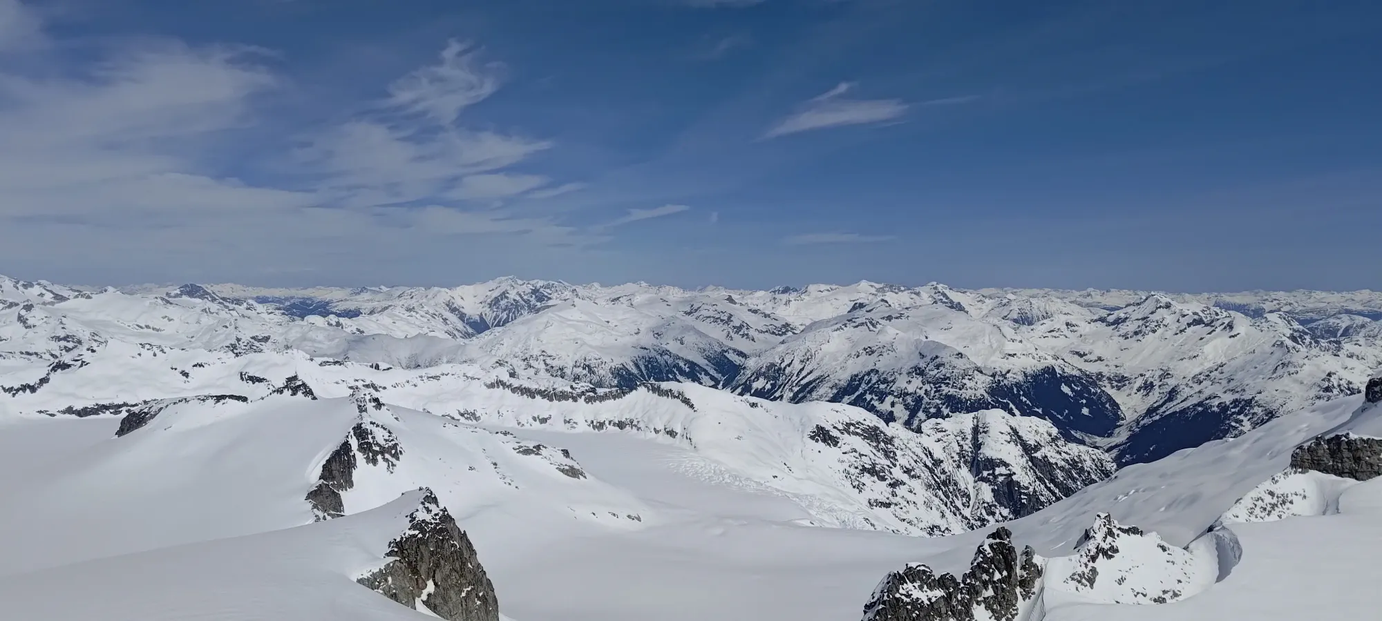
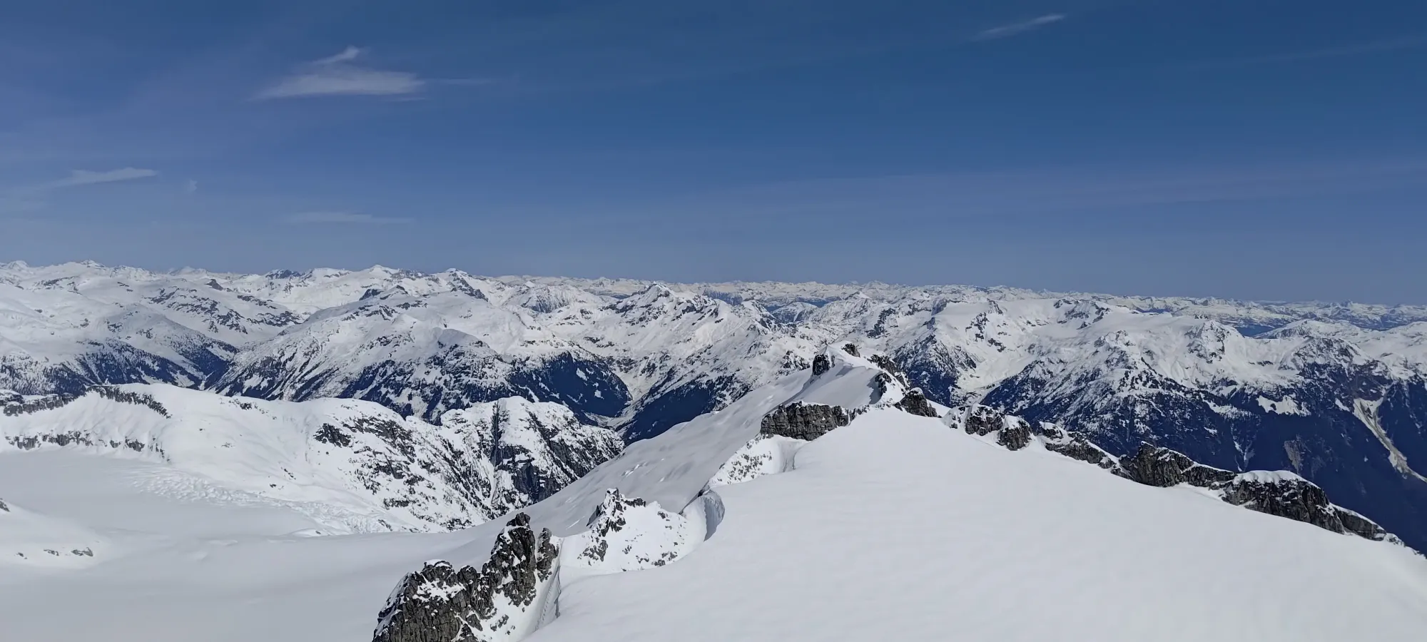
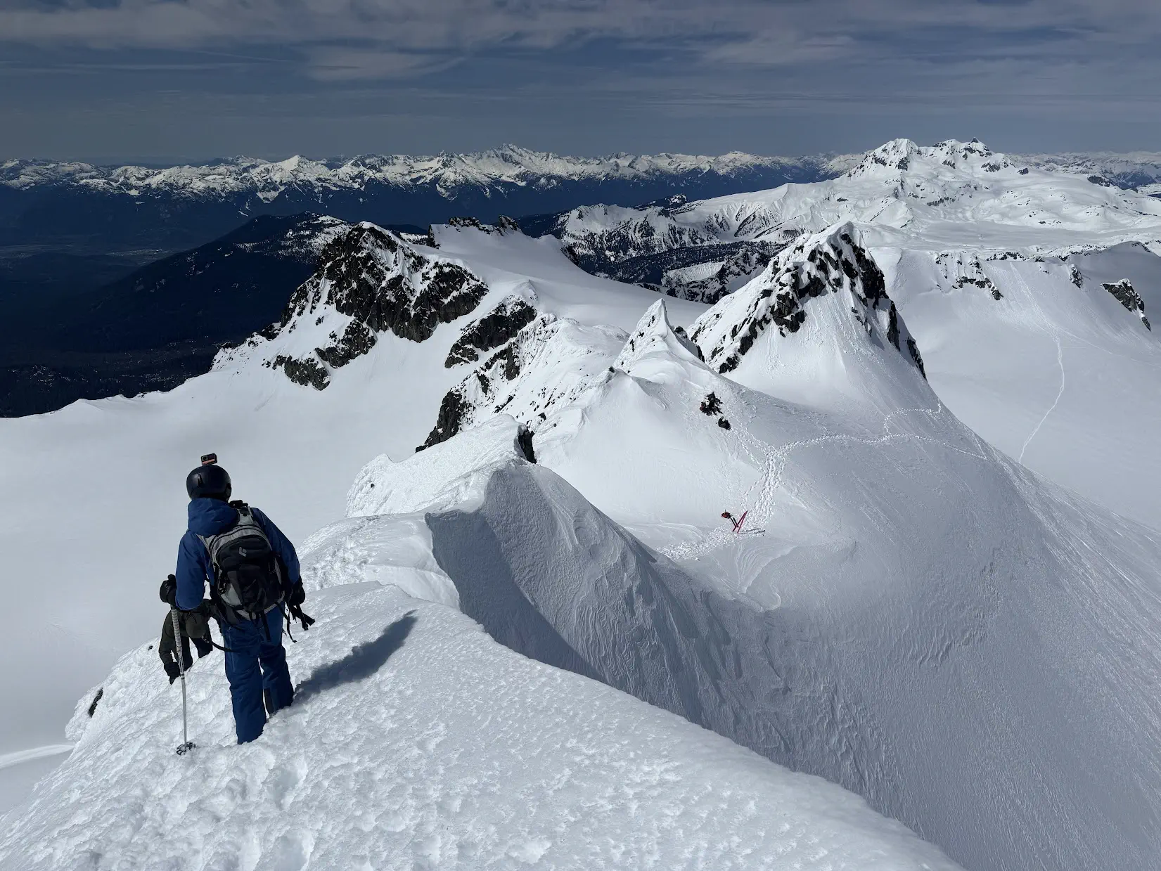
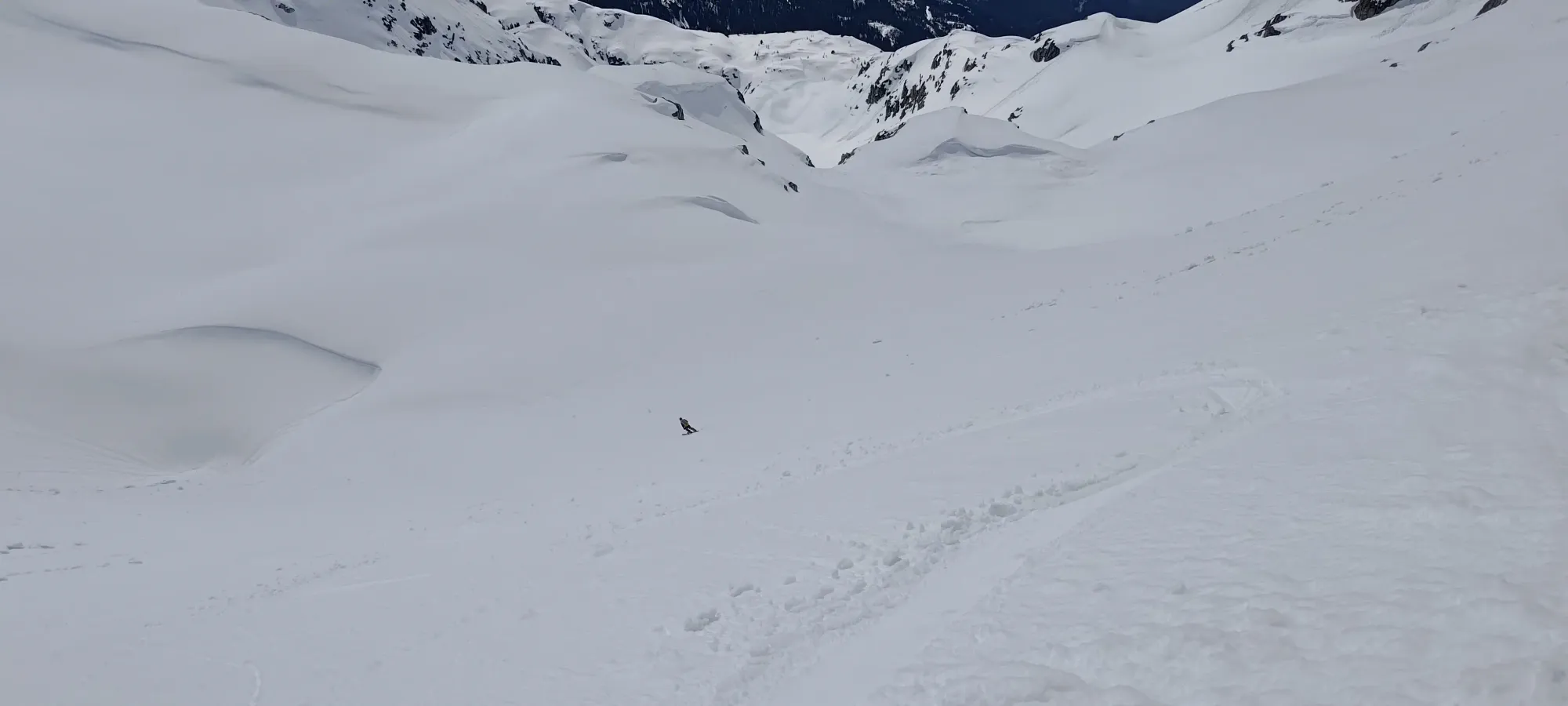
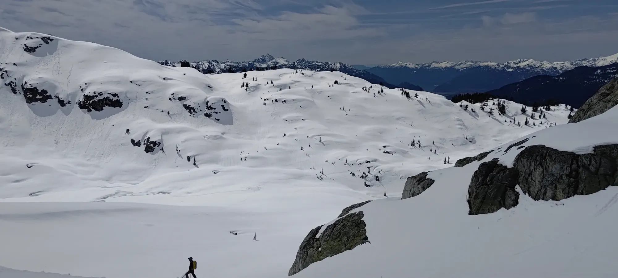
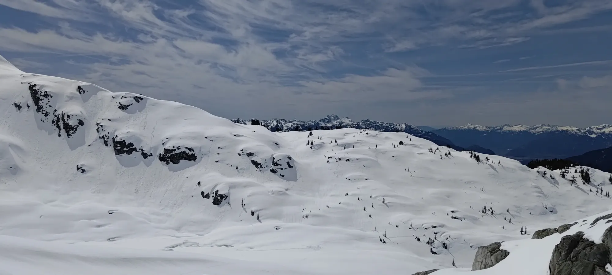
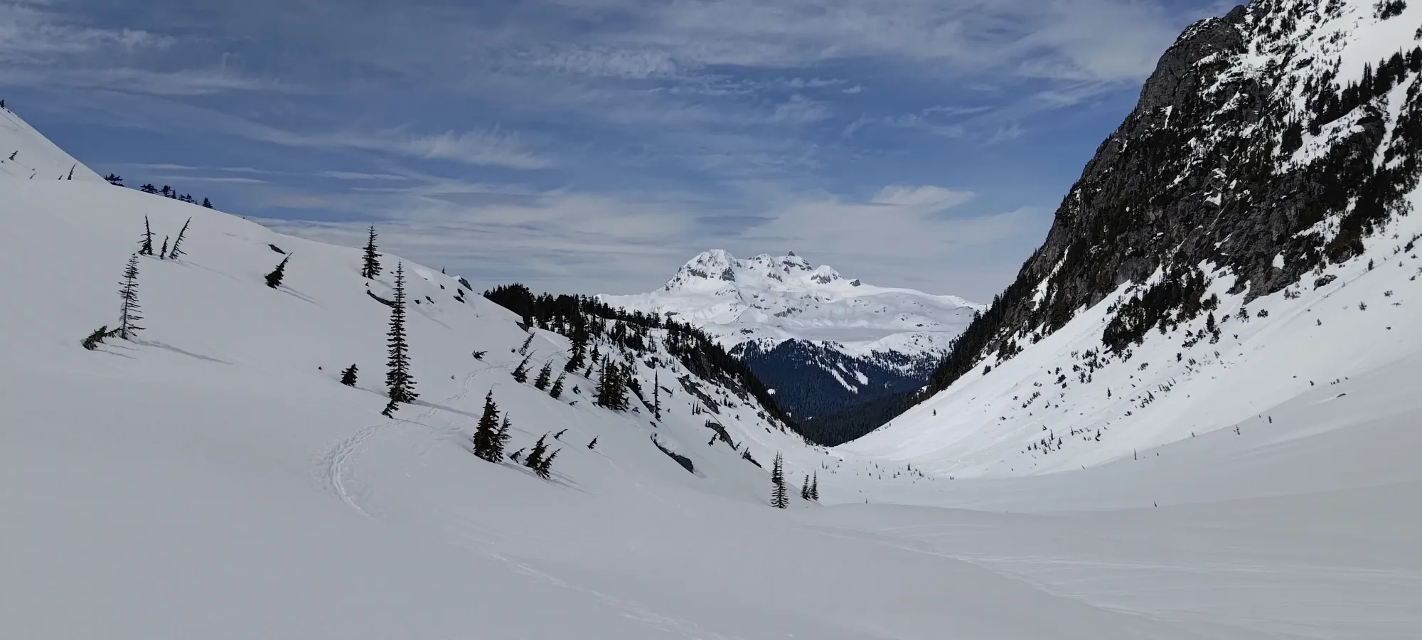
After just a couple minutes wrapping around to the NE side of the ridge, we were finally granted some views of the alpine! It was pretty nice to see, and the sunlight also felt pretty good just to stand around in.
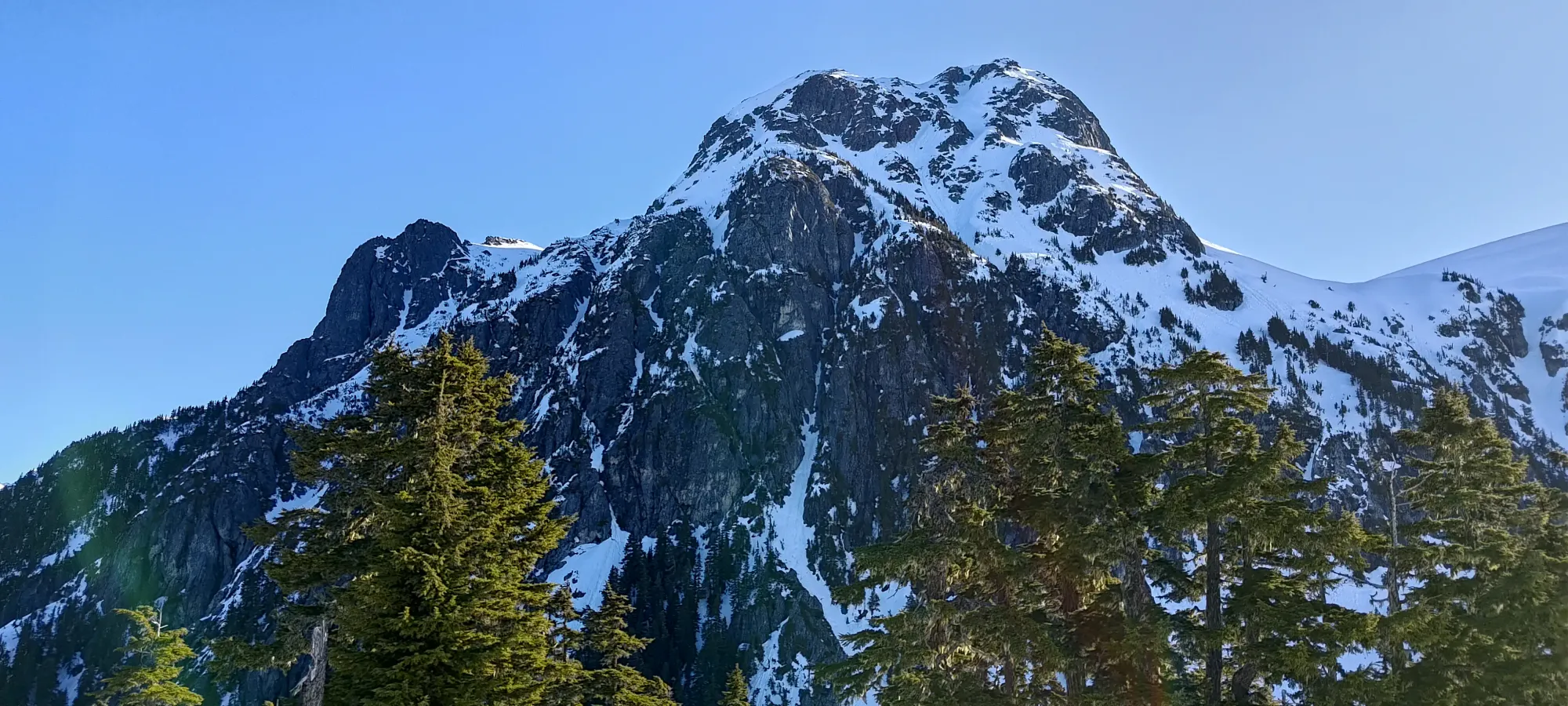
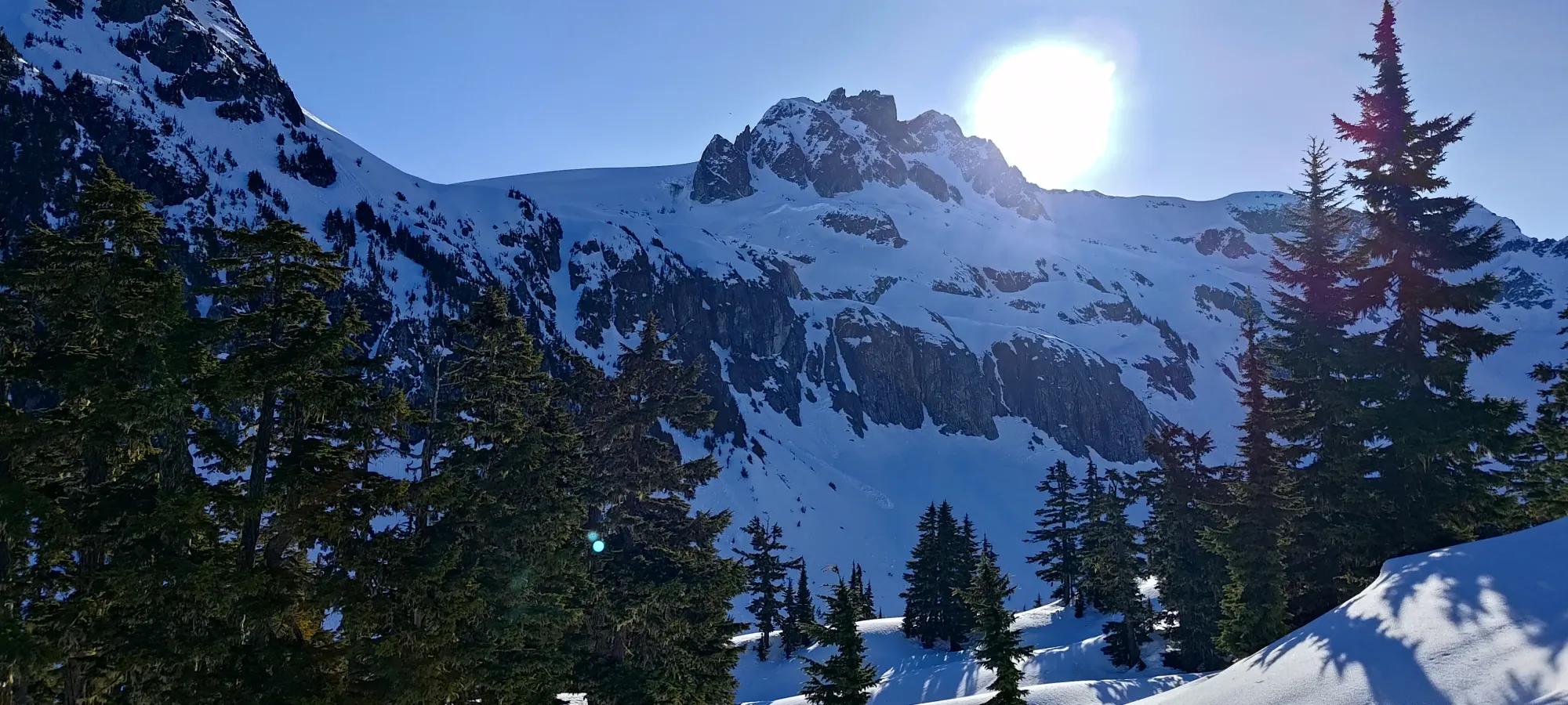
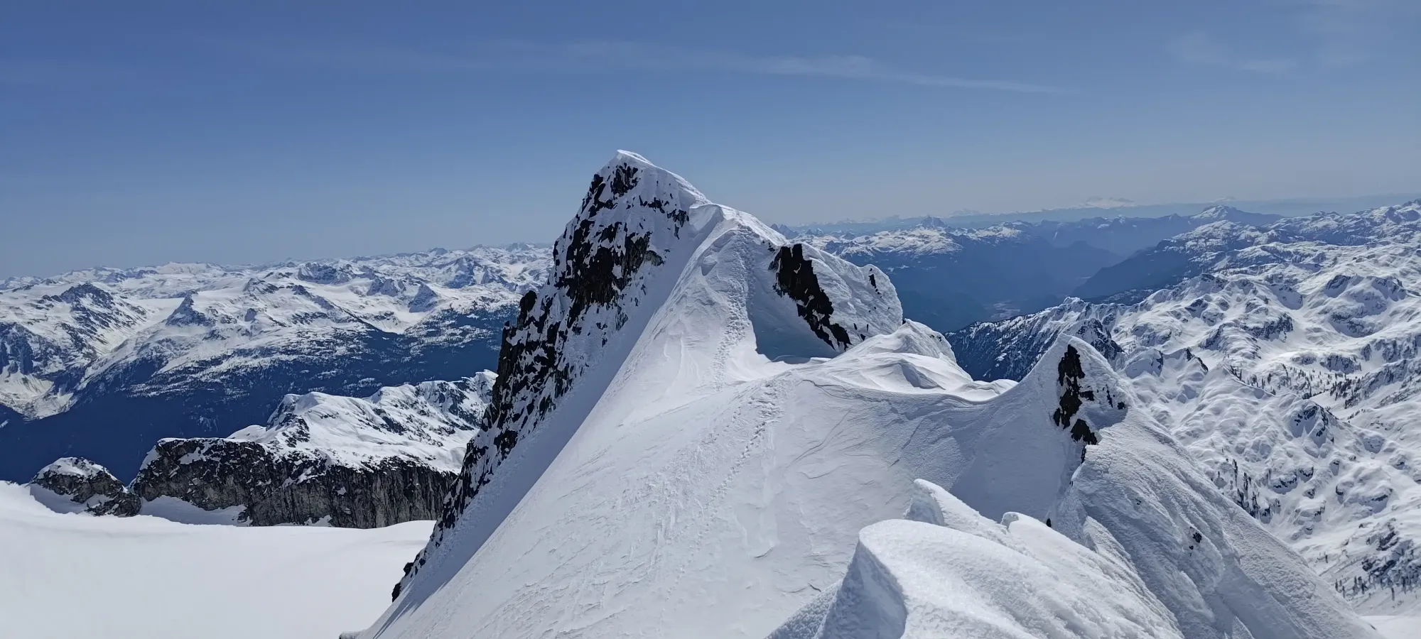
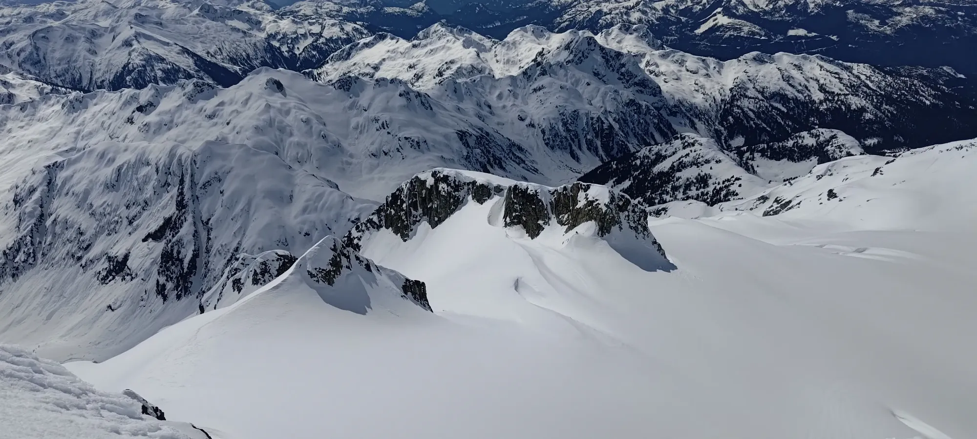
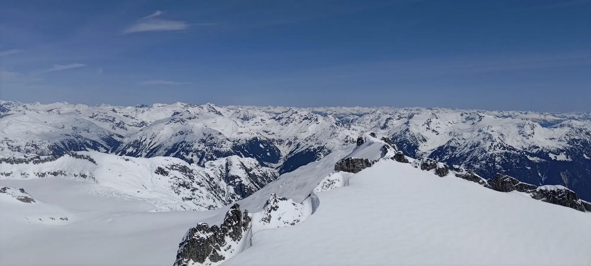
Views of the Darling Peak and Mamquam Massifs, respectively
From there, it was an awkward, sidehilly ski/skin down to the lake, which took about 20 minutes with ski crampons hurting our descending efficiency, but removing them felt like too much work 😄
We decided to walk up to the edge of the sun/shade line, as I enjoy myself some sunshine, but Kelly preferred to keep cool and idk, cares about not getting skin cancer I guess? So we walked up a bit past the lake until we reached that point, and took a break while talking about what to do next. In the end, we took just over 4 hours to reach the lake.
Once we got there, we still didn't know where Logan and Tanveer were. I expected them to catch up after our break in the boulders plus my bathroom stop, so the fact that they didn't had me a bit worried that something might've happened and got them to turn back, or otherwise make an extended break. Since they were together, though, and since I still kinda expected more bathroom breaks higher up (that seems to be how things tend to go for me on days where I try to alpine start super hard), we agreed to keep moving. Really, regardless of why they were behind, us being there wouldn't make them go faster, and they're capable enough to handle things alone, and more so together. It felt a bit bad if one person was struggling, and the other felt obliged to stay with the other and forego the summit, but it didn't make sense to make 2 more people do the same, so on we went.
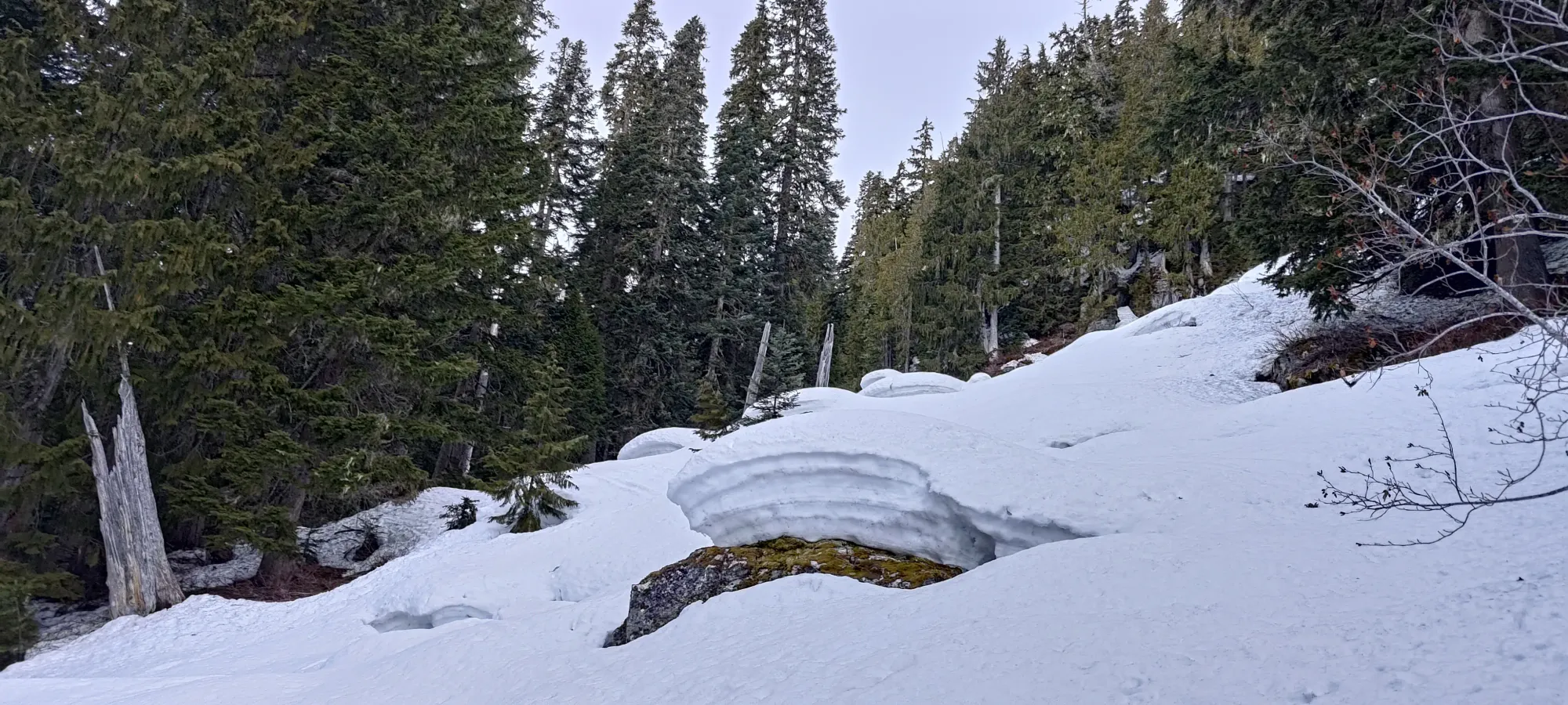
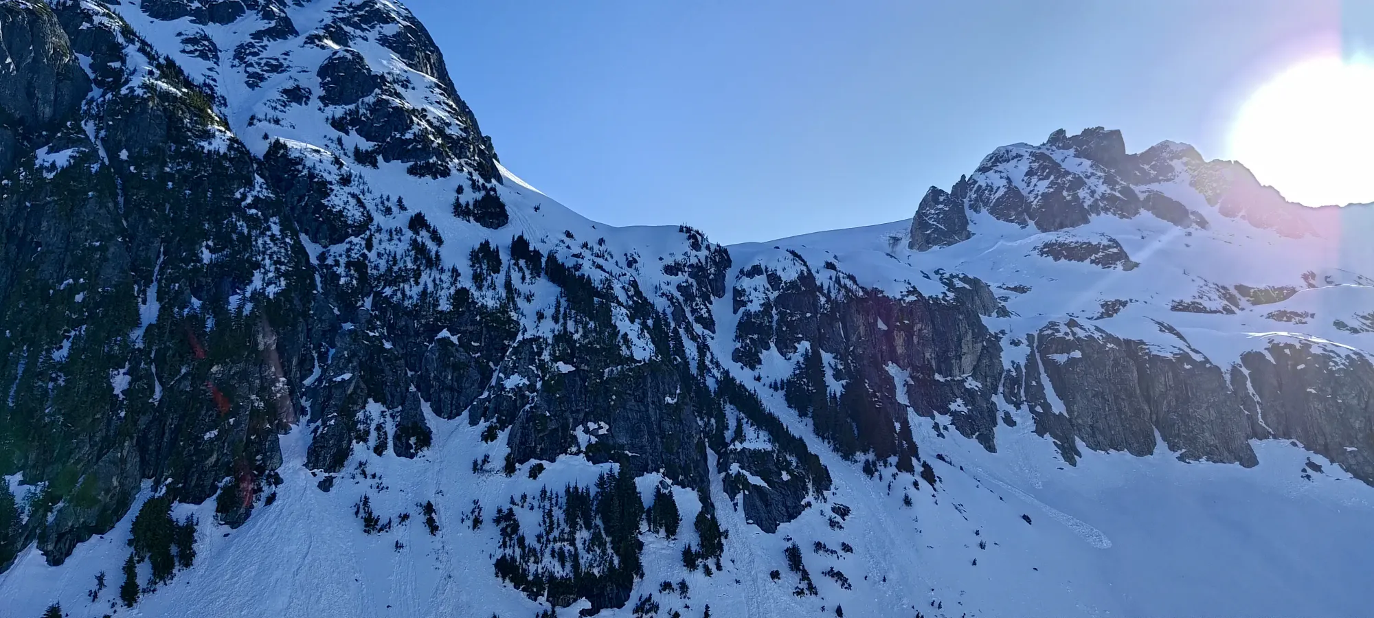
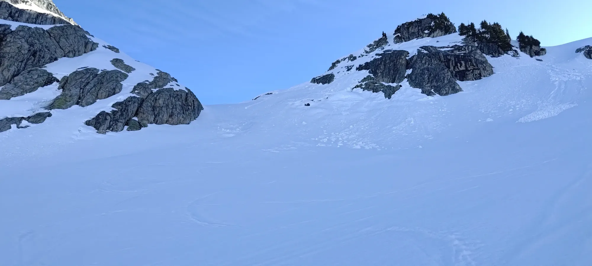
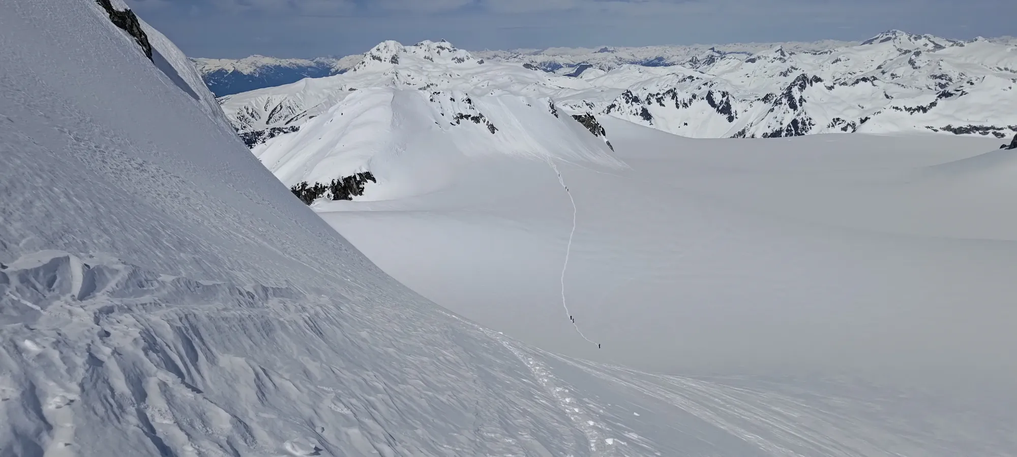
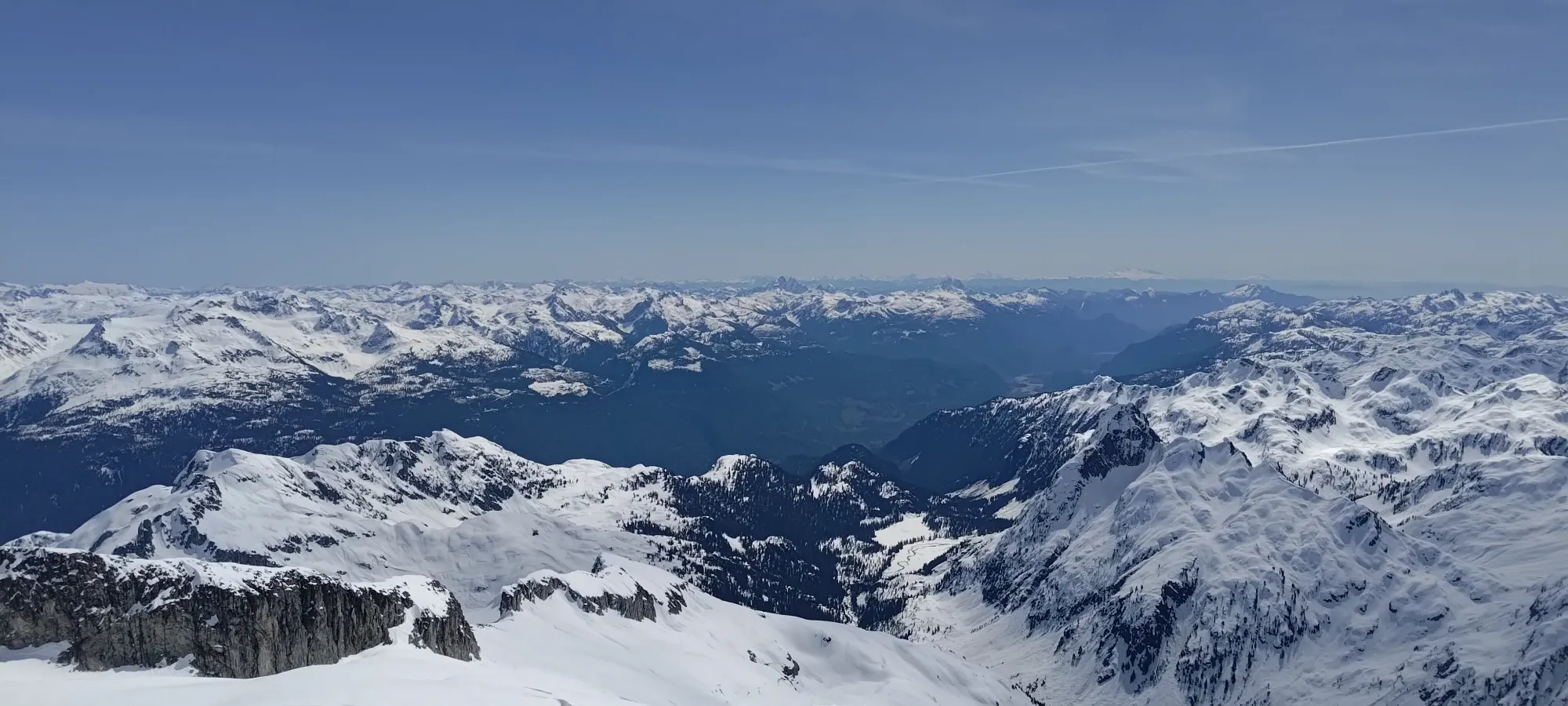
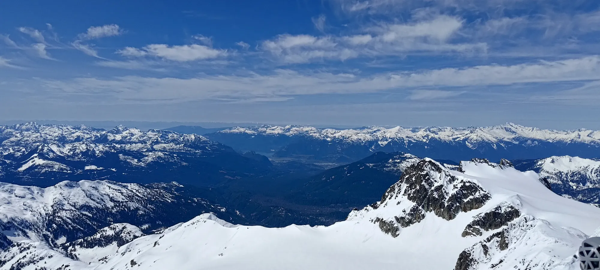
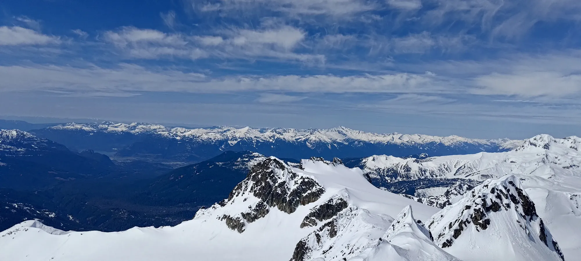
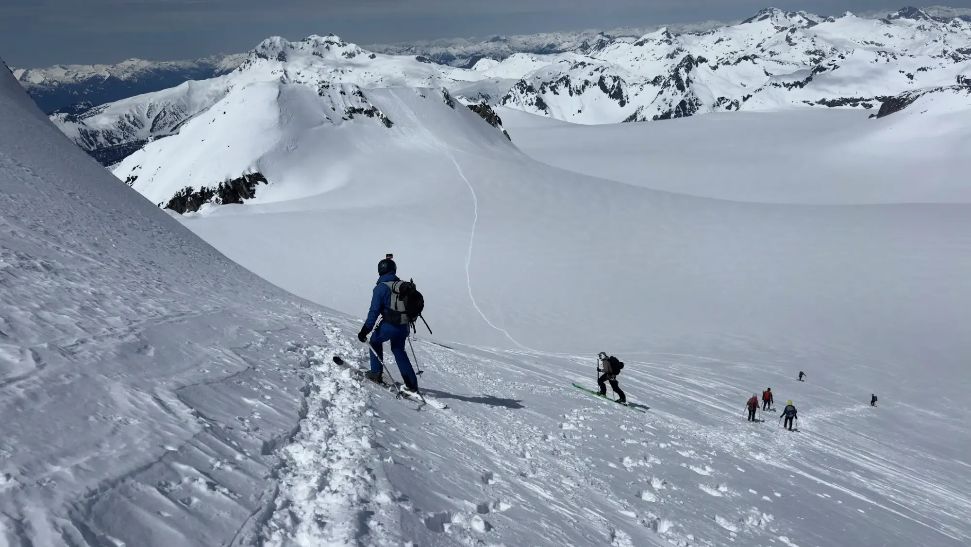
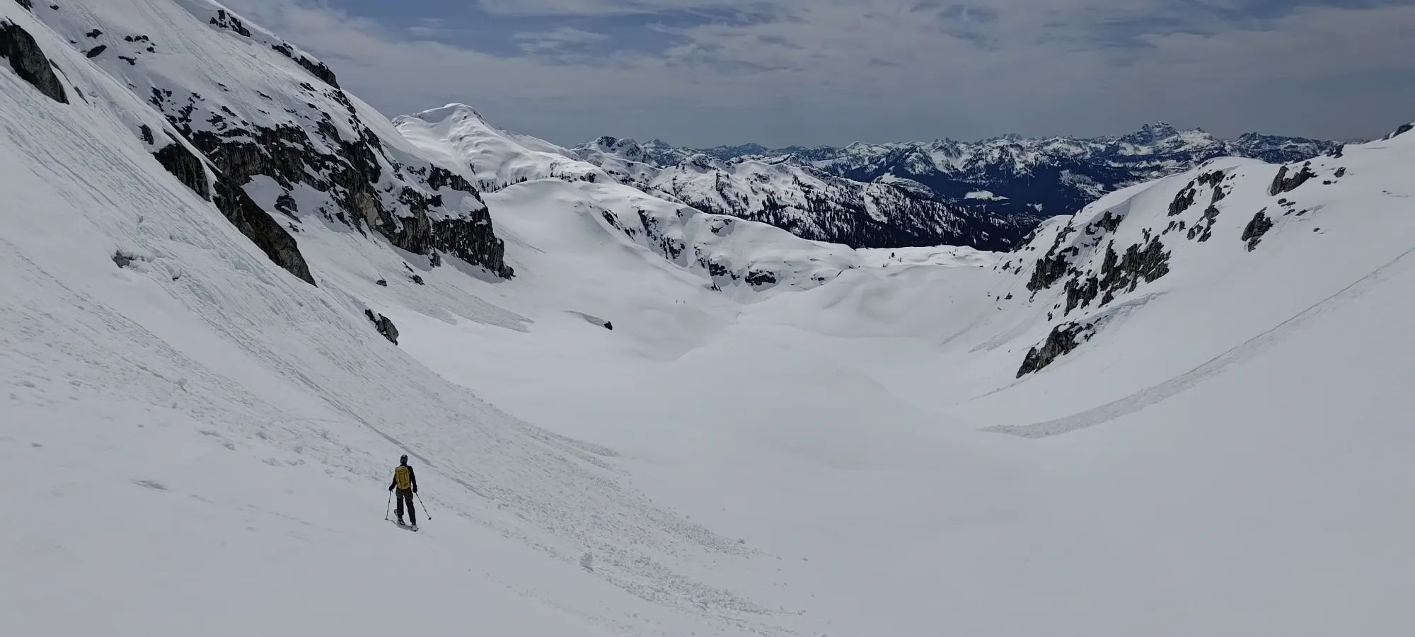
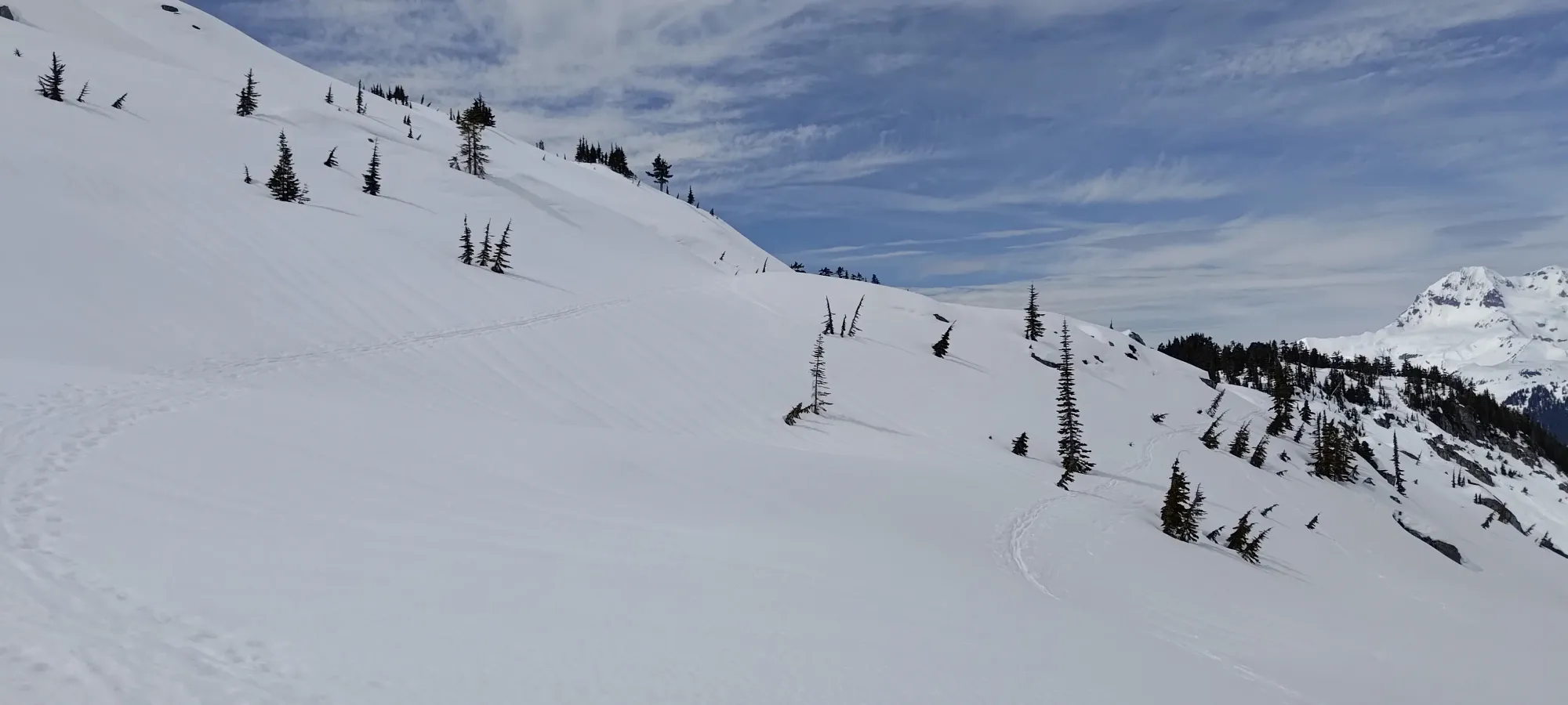
Again at the top of this section, the slope got a bit steep, and Kelly booted a few steps to get to more amenable skinning terrain, but I managed to switchback through. My narrower skis probably helped a bit. Once we got past that first roll, we realised this would be a tale of many rolls, as the ascent was broken up well into approachable chunks from here to the icefield. After that, we had a smaller lake to get around, then a sidehilly section to get past some large outcroppings, and another punch up to the icefield at the pass between Darling Peak and Mamquam.
Around this time, we saw a couple people charging up pretty fast from Darling Lake. At first, we were excited that our buddies had caught up, but as they got closer, we realised that was too fast, and sure enough, it was a couple of guys decked out in skimo gear making us look like chumps 😅. After we crossed the lake, we had to sidehill either on climber's left, or climber's right, in order to get around some large outcroppings. The aforementioned skimo guys took the right side, but we went left, hoping the sunlight on that slope would make the sidehilling a bit softer+easier.
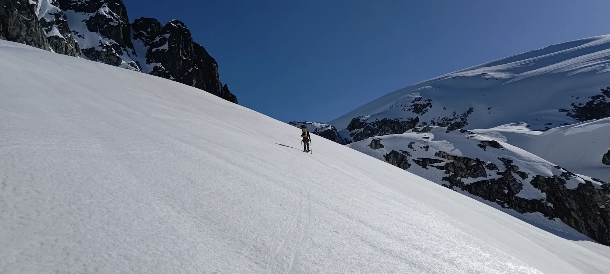
The theory was good, but it was still too early for the snow to be that soft, so we still had to sidehill pretty intensively to make it across. It was less steep than some of the other sections we'd done to that point, so it was more just annoying than actually difficult, at least.
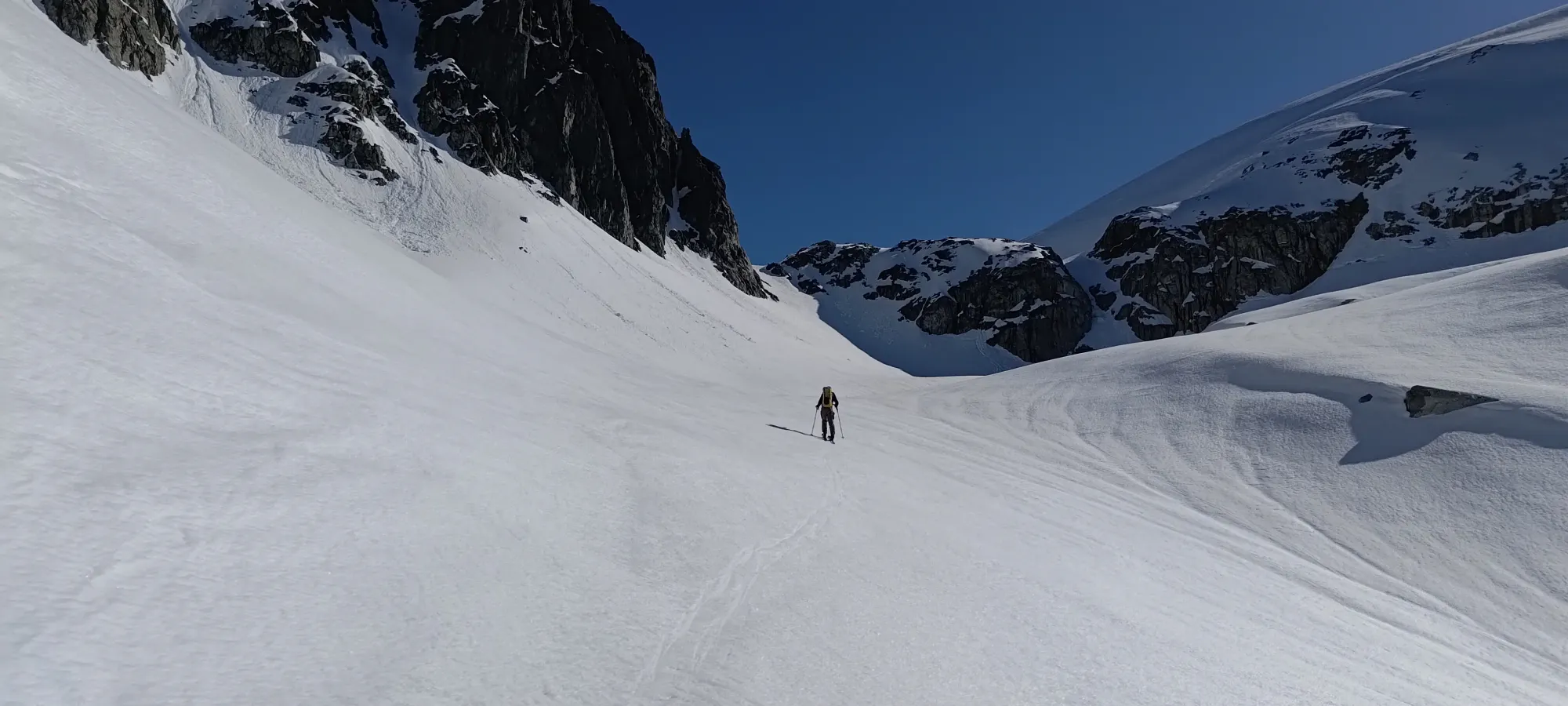
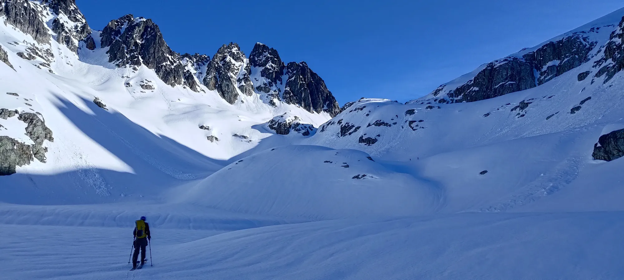
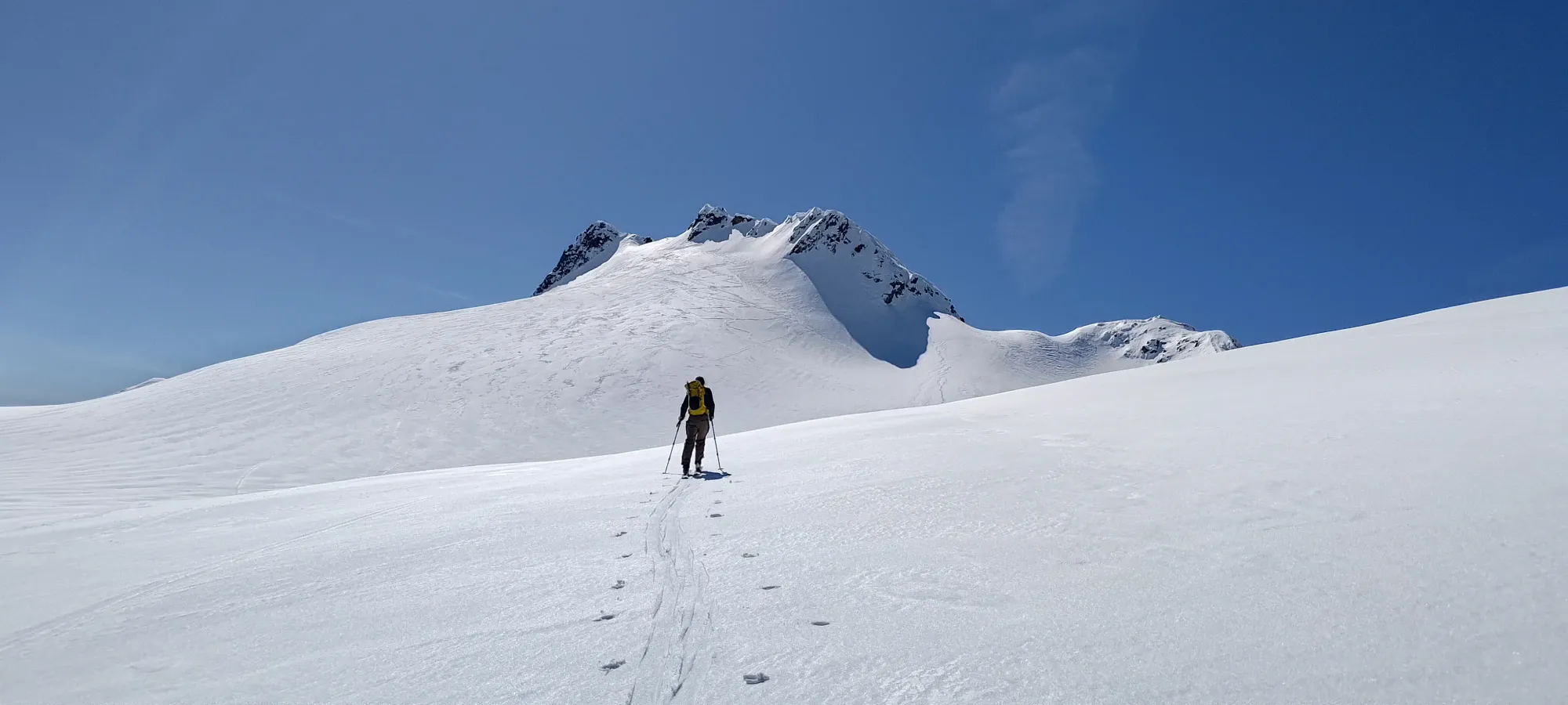
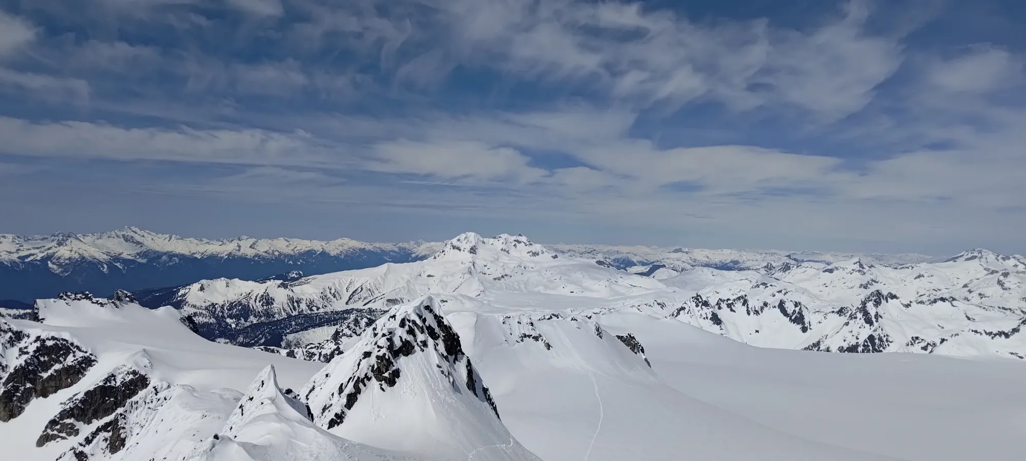
That last hill brought us up about 250m, and took us about 40 minutes, so we were moving pretty well still. This was the last section where Kelly rued his wider skis and busted ski crampon, as he once again booted the last bit of the climb up onto the ice, where I managed to keep switchbacking my way up on skis. It felt great, either way, to be onto the icefield though. The elevation was now largely taken care of, as we had a lot of gentle climbing we'd barely notice to get to the base of the summit, and then it wouldn't be a big climb left. Things were looking up.
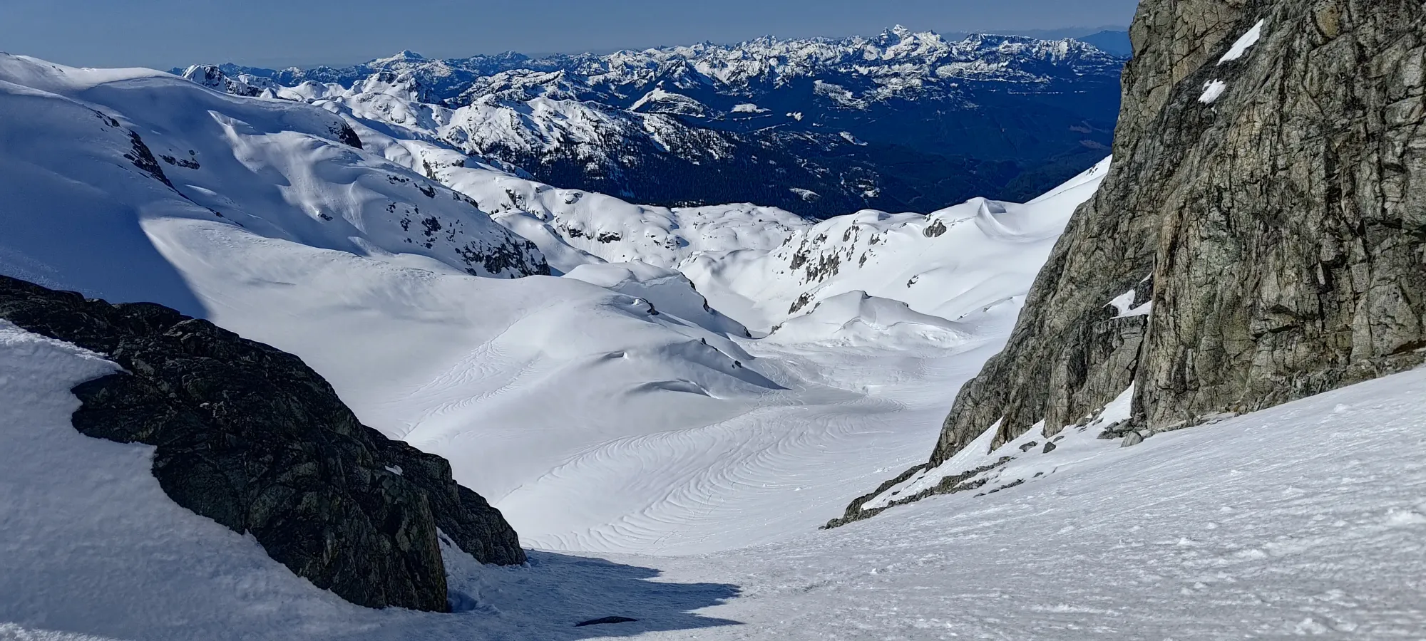
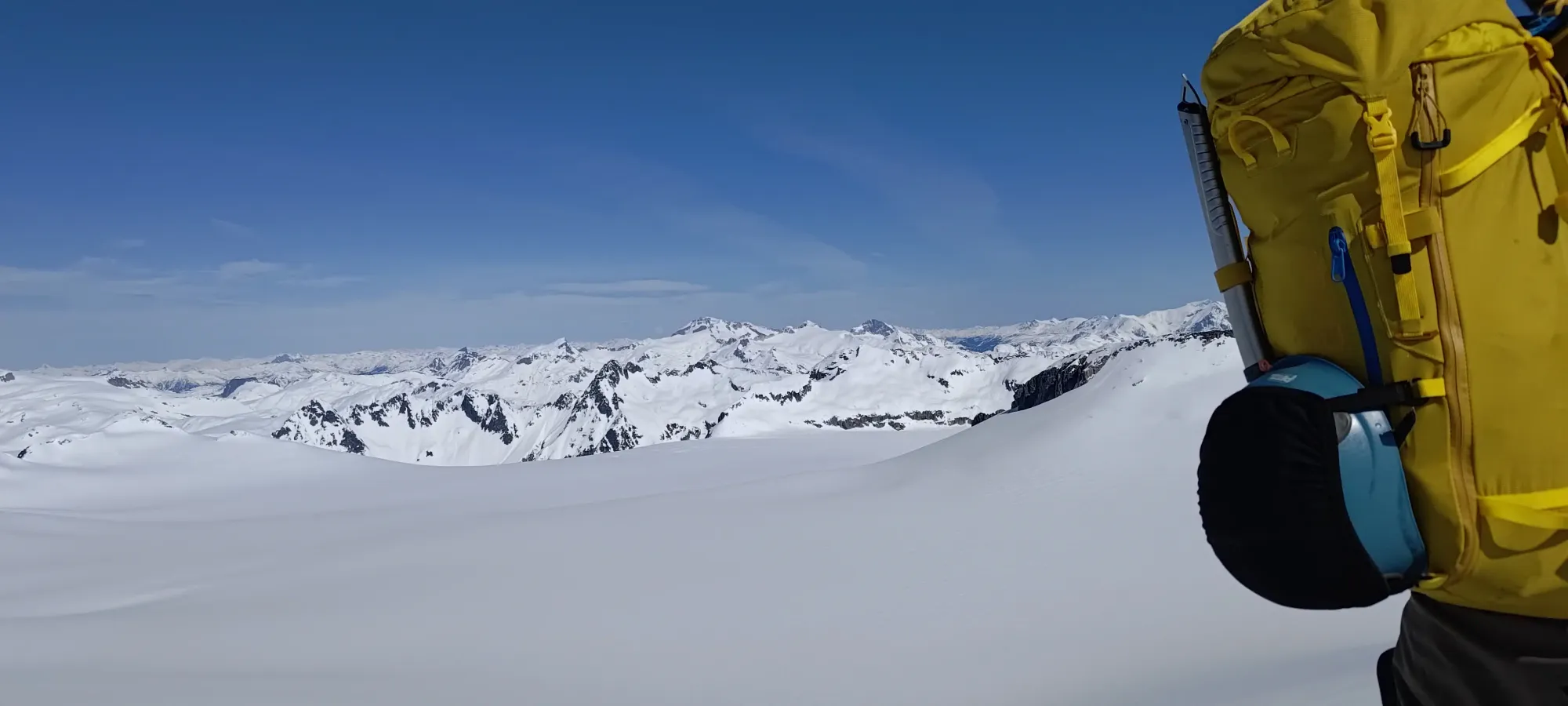
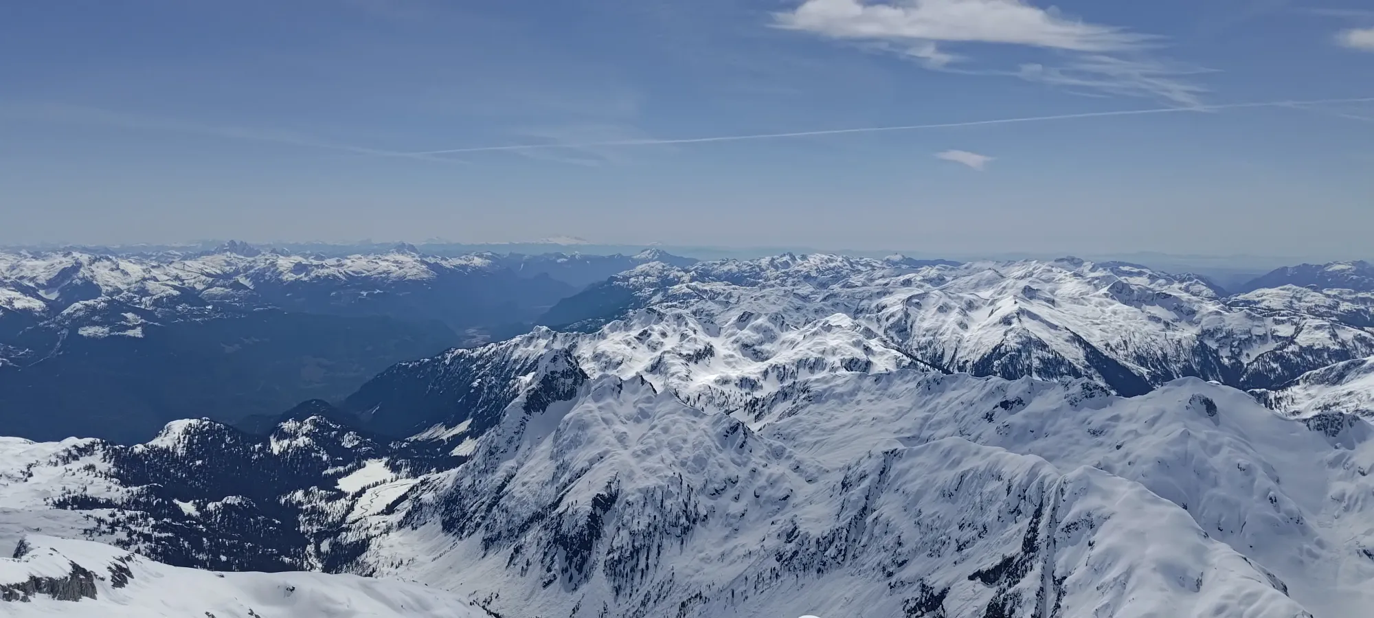
Once we got onto the icefield, we finally took our ski crampons off, had some water, and started making our long walk over to the summit area. I also borrowed some sunscreen to protect my nose, at least, after I let it burn in Nevada 😅. I remembered like 2 minutes into walking that I brought sunglasses (wrap-around, so better than my usual transitions glasses for protection), but we got into a pretty good rhythm, so we just kept moving while things were flowing well.
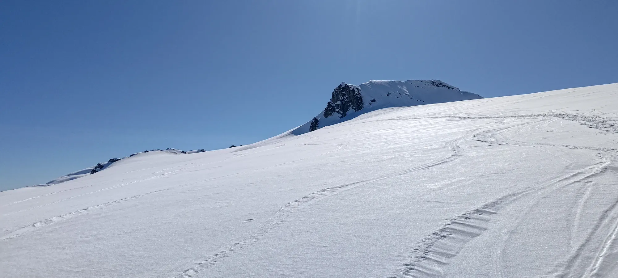
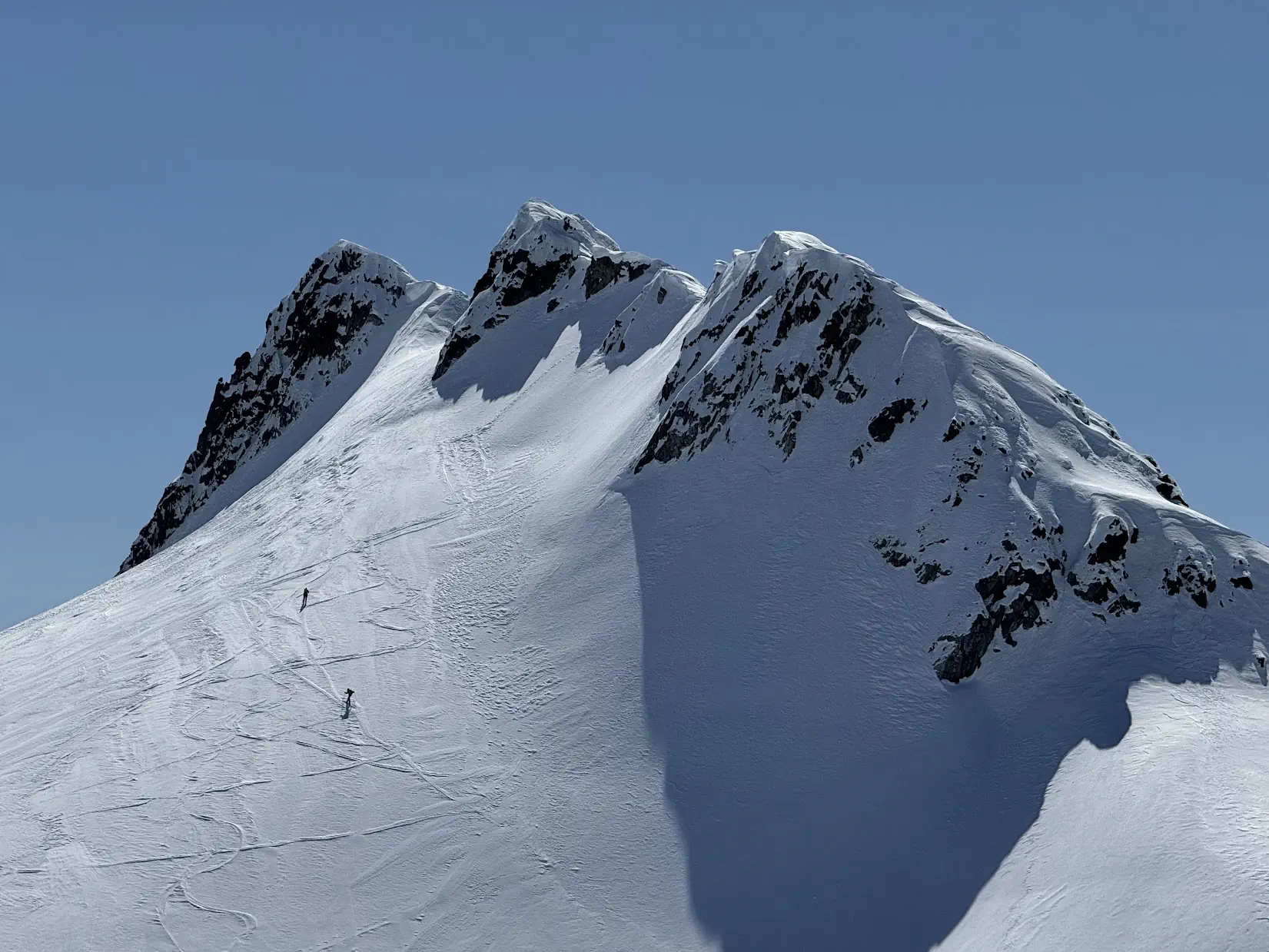
We just chugged along for the next 35 minutes, cranking out 1.5km and a couple hundred metres of elevation in that time. Our progress was, unfortunately, halted by a short section of powdery snow sheltered by Delusion Peak as we crossed north of it, which pretty much instantly got both of our skins to glop pretty hard 😅. Since it was still only quarter to 11, we didn't see Logan+Tanveer, and the snowshoers were at least not descending past us, we figured we had some time, so we stopped to scrape our skins and let them bake in the sun a bit, and hopefully dry out.
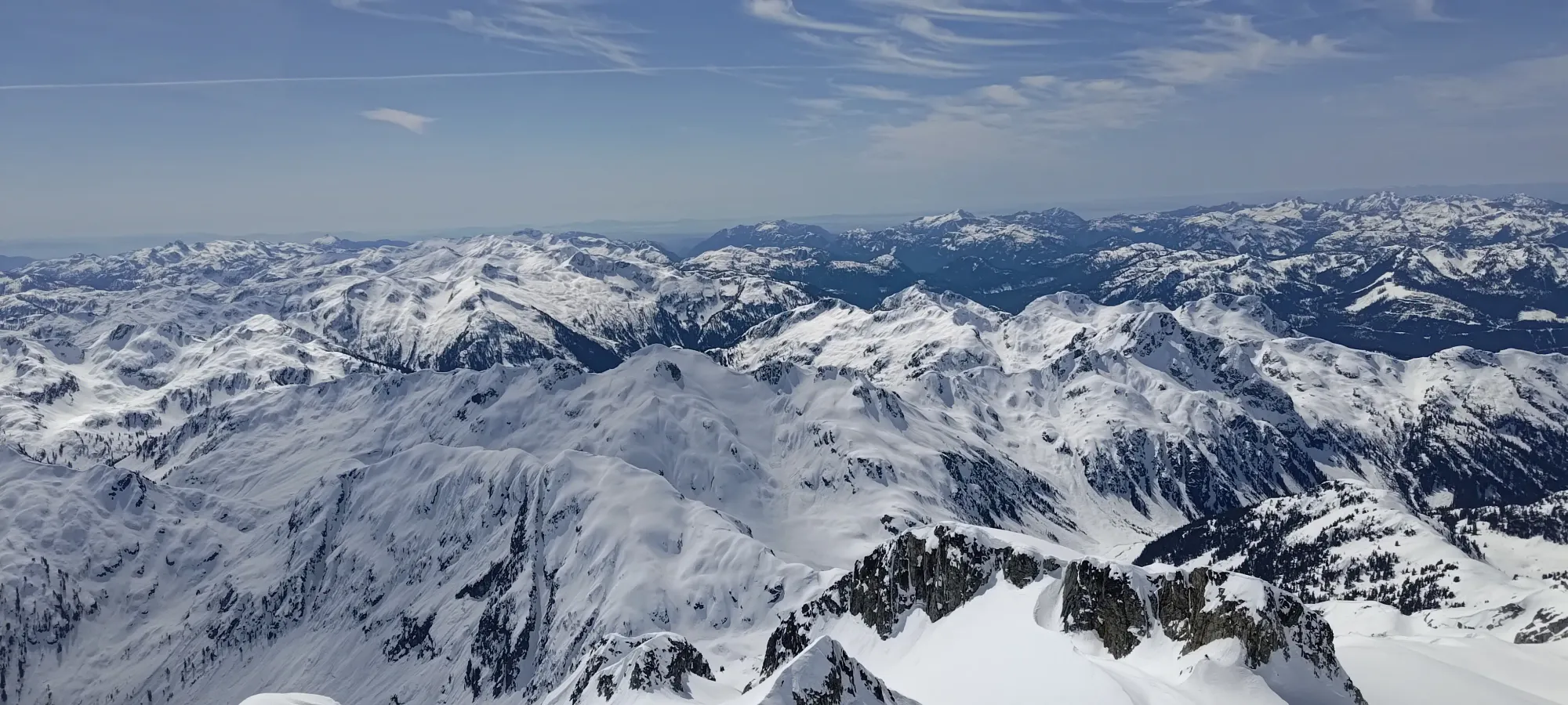
We hung around for nearly 20 minutes, then figured that was probably enough, and also sitting around isn't that fun, so we put some skin wax on, and hoped that would buy us enough time to top out. In a couple minutes, we rounded the corner, and found our missing snowshoers, making their way up Delusion Peak! We were pretty happy to have caught up, and since Delusion isn't a p100 (and so we didn't really care about climbing it), we were even poised to pass them 😃
It took us about 20 minutes to walk over and switchback our way up to the base of the climb. Sadly, I definitely was glopping again, so that walk was probably longer than it otherwise would've been. So, when we saw a bootpack heading up to the ridge, while it felt a little off, I didn't really question it, and was just happy to take my skis off my feet and not carry the extra weight of all that snow built up on them.
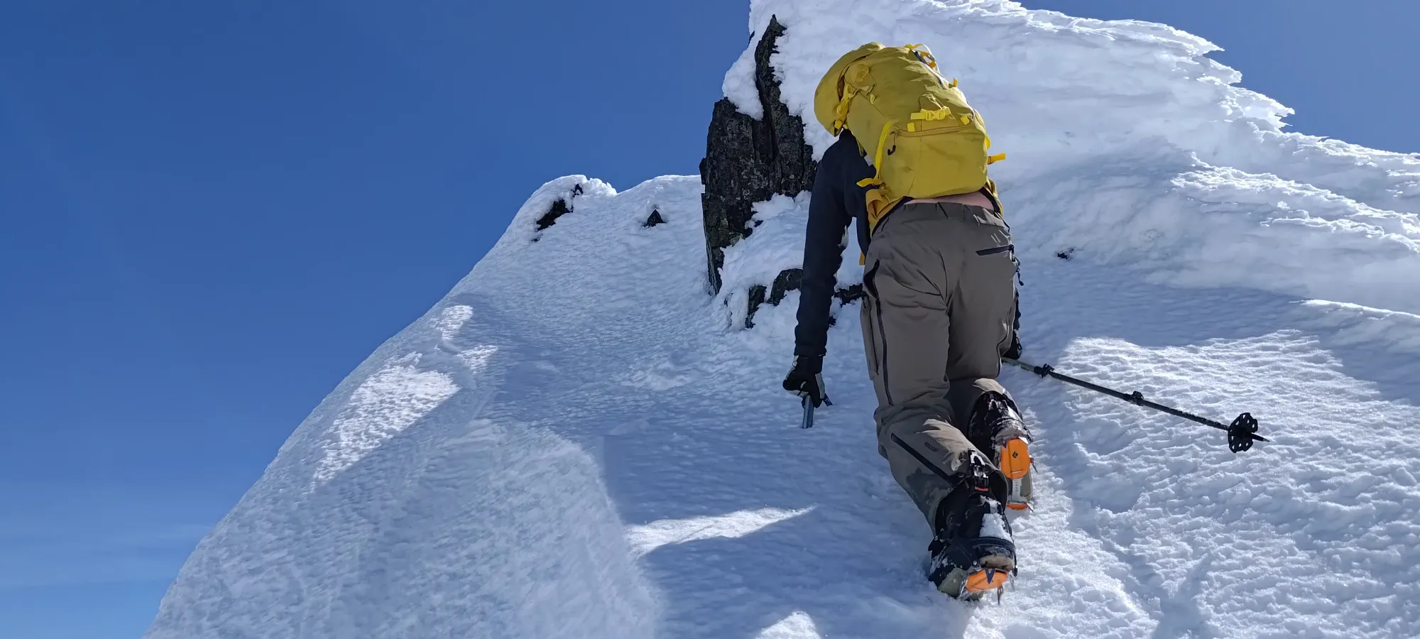
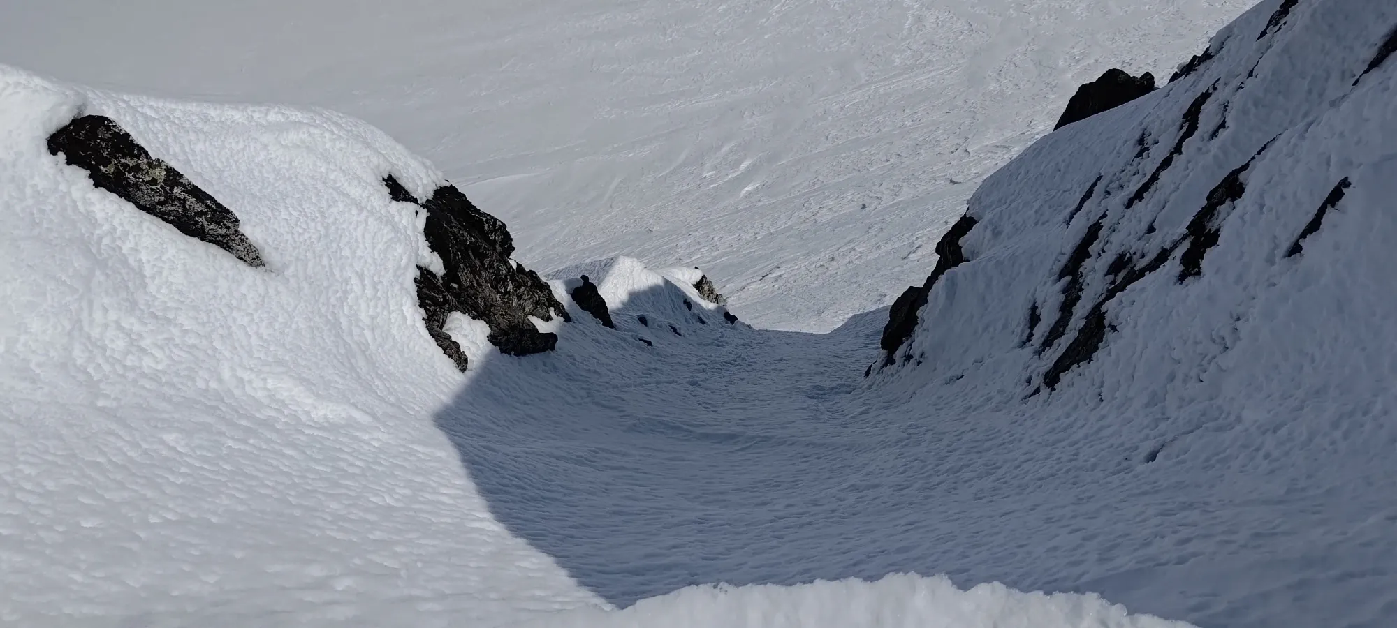
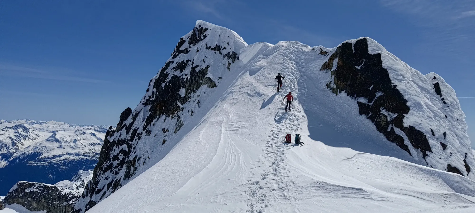
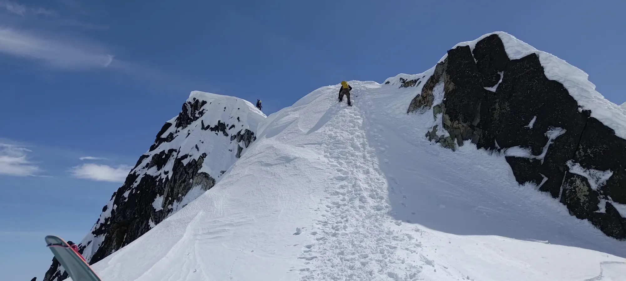
After booting up to the ridge, we saw a spicier looking scramble than we expected based on our trip reports. Not wanting to waste the effort of booting up, though, and also having probably too-much faith in whoever set the boot track to this point, we decided to stash our skis, get the axe+crampons out, and try to traverse the ridge. That involved a short descent around the rime ice and cornices, and then kicking some steps up a small shut to the next feature on the ridge.
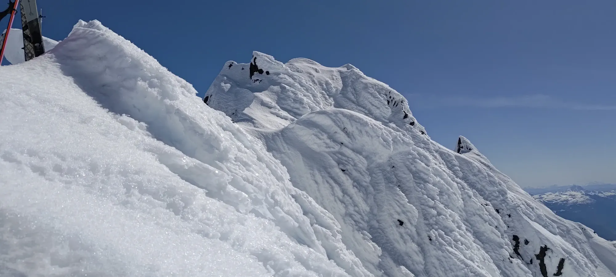
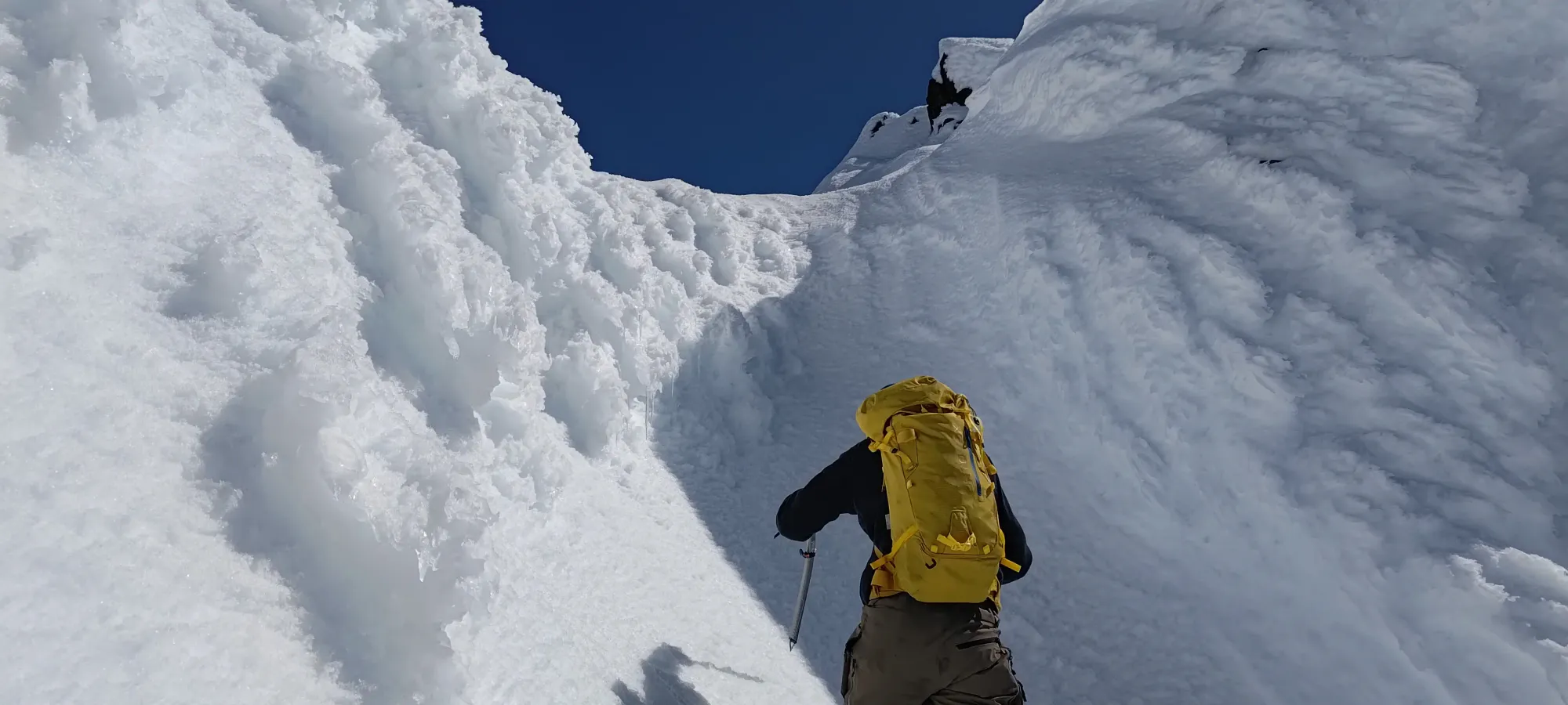
After that, we had a short, exposed ramp to get onto the summit, which turned out to be a false one.
Once we saw the exposure and steep drop-off of trying to continue the traverse, we shouted back at the snowshoers telling them to just go around, and debated our life choices for the way to the summit. Initially we considered descending a steep gully that would shortcut us around the block we'd just summited, but discarded that, as it was steep (but doable), and would mean climbing up to our skis after the summit, which wouldn't be super enjoyable. So, we just reversed our track and got back to our stuff instead.
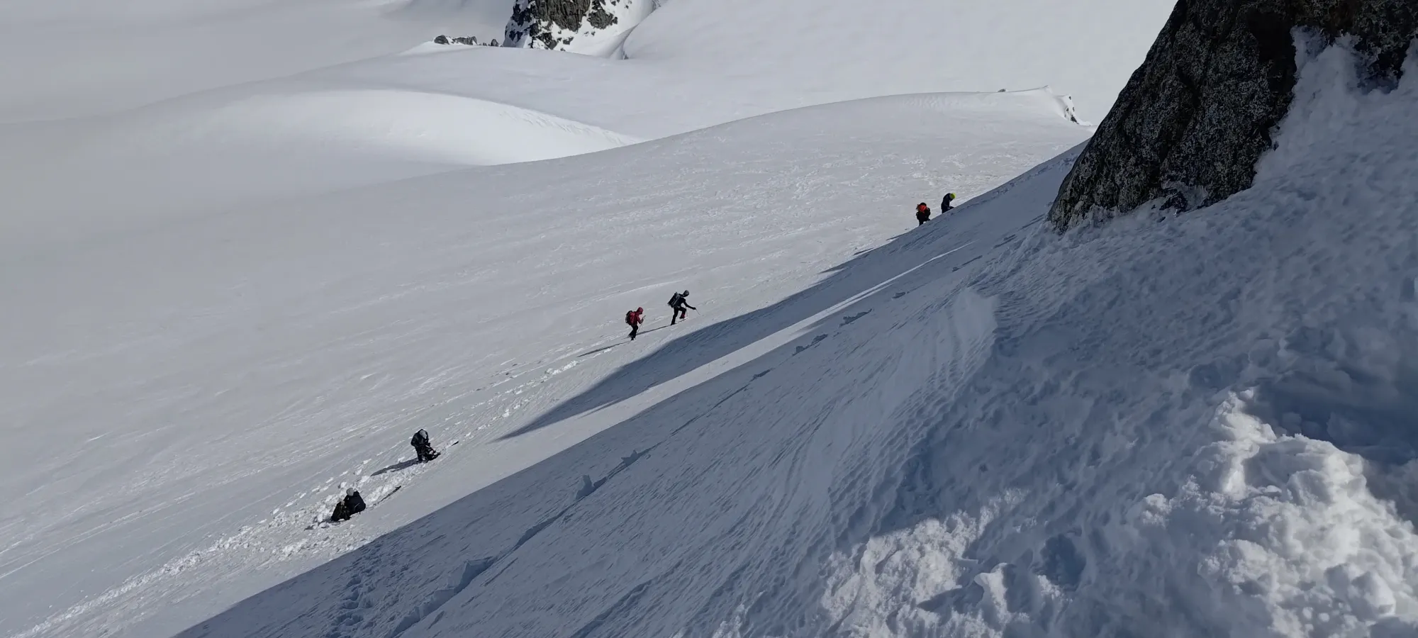
Since some of the others had followed us up in-part already, we figured it was easier to just keep our skis on our packs, and boot over to the tracks they were now setting to hit the main one going to the summit. We cut some elevation off by staying as high as we could, and ended up joining the others for the summit bid. At least our side-quest meant we could all get up together (except for Logan+Tanveer, who were still MIA).
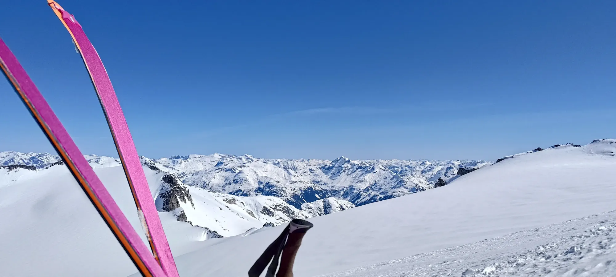
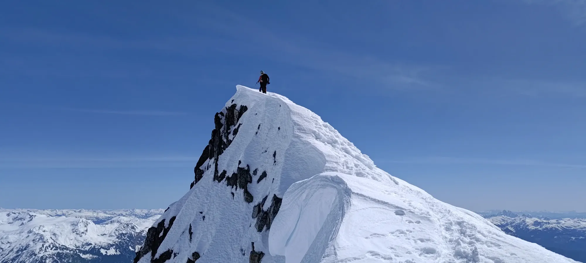
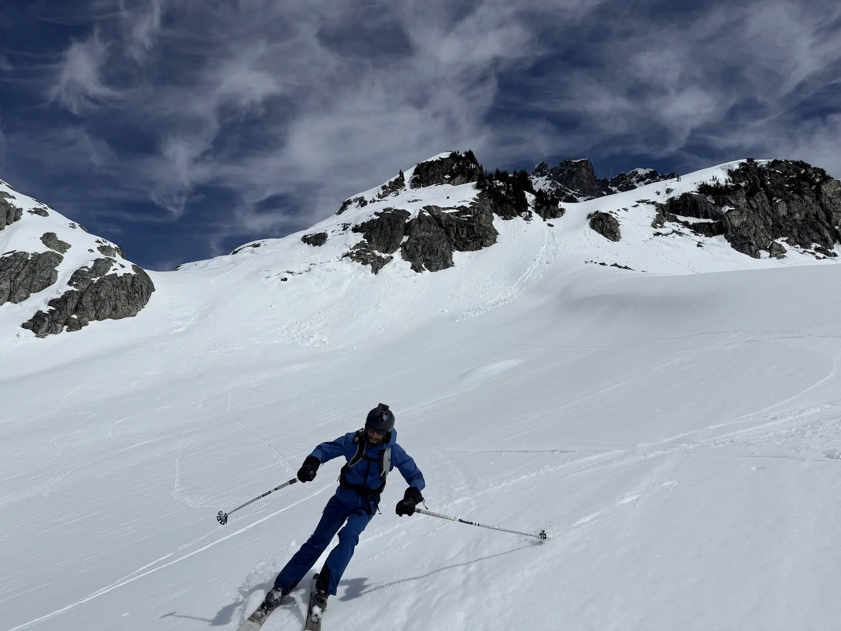
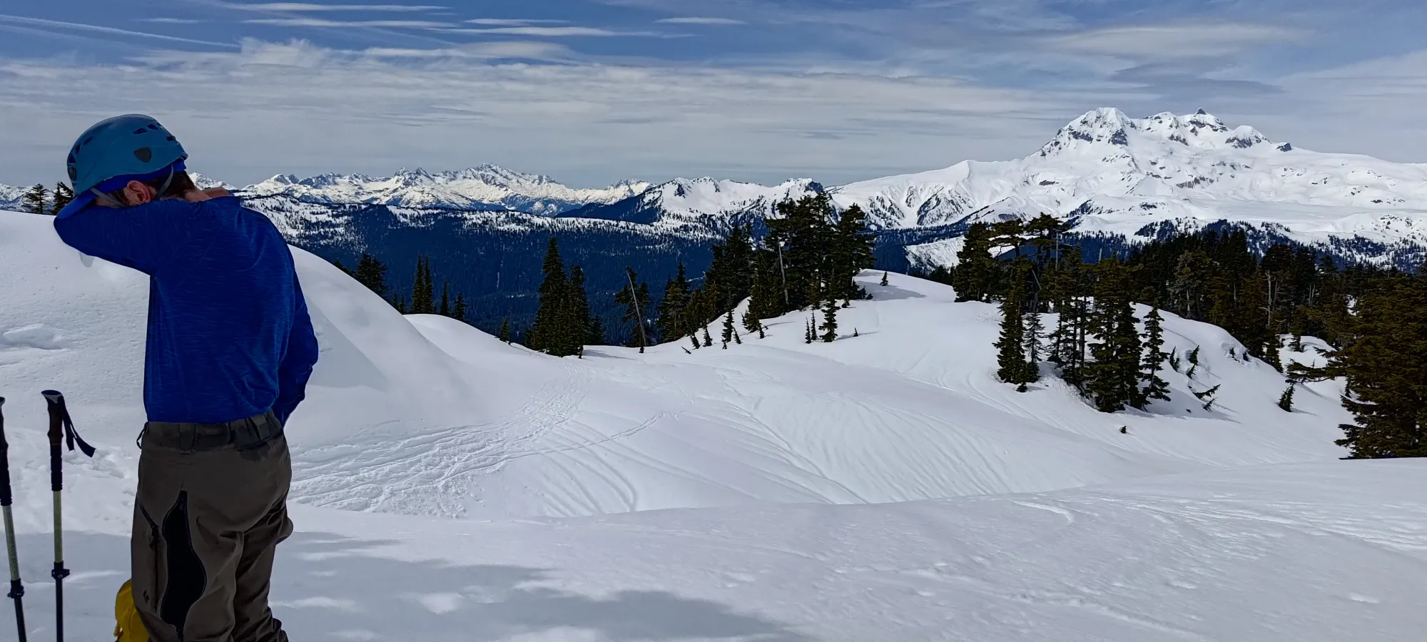
After reaching a flat spot just before the final few metres, we dropped our skis, enjoyed the sudden feeling of weightlessness, and pressed on to the summit. We managed to get up in under 8 hours, though it could've been less if we took a few less breaks and didn't go up the false summit for no good reason 😆. Oh well, the weather was breezy, but pretty pleasant still, and the views excellent, so we hung out for a while on top, soaking everything in.
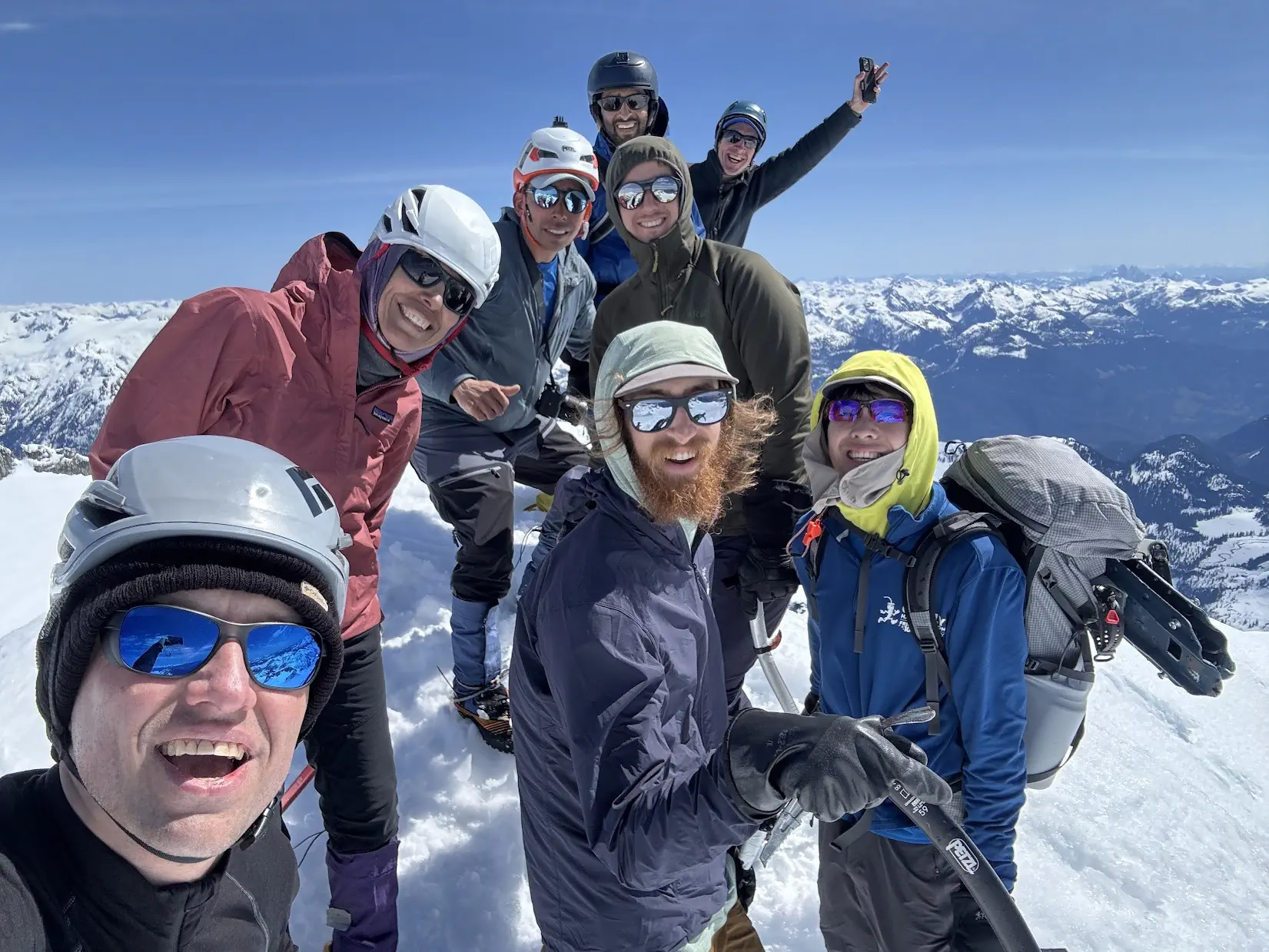
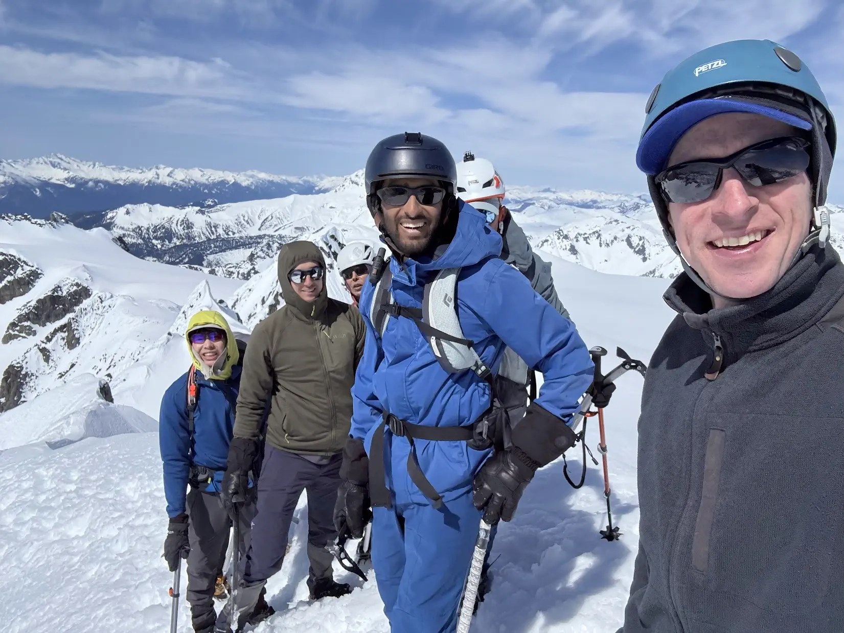
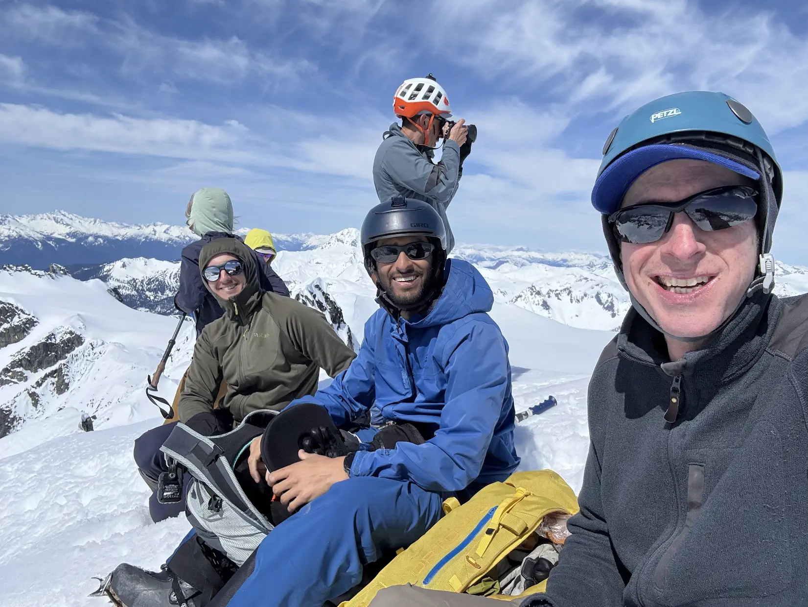
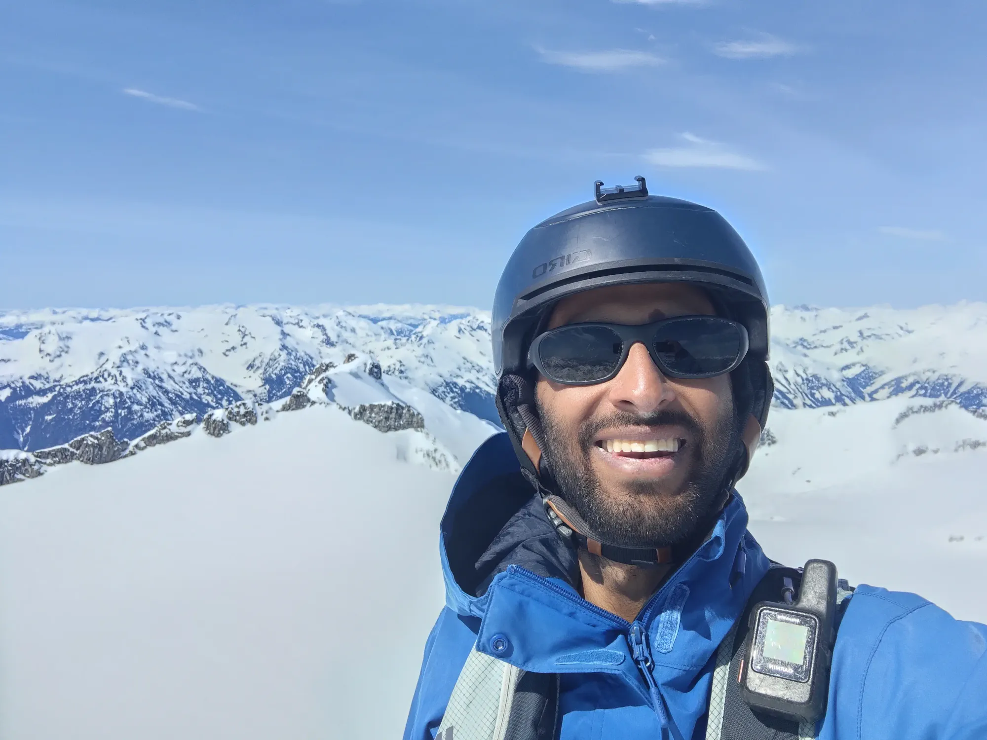
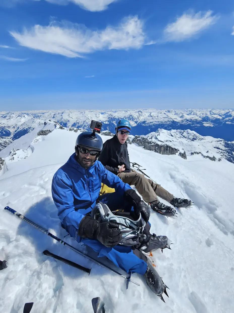
A smattering of summit photos from Kelly, Anton, Andrew, and myself
We spent about 20 minutes on the summit itself, and another 20 downclimbing to our skis and chit-chatting before we actually clicked in and started skiing. Since we were already caught up to the snowshoers, we were pretty confident we wouldn't be falling behind, with a good amount of the terrain being skiable. At this point, we saw more parties heading up, but they were also not Tanveer+Logan, so we figured they must've turned around. That gave us a little motivation to get moving, since neither of them drove to the trailhead. We hoped they were just skiing laps somewhere if they turned back, but in case something went wrong, best not to keep them waiting more than necessary.
We started skiing at just about 1:00pm. I was surprised at how much of the icefield was actually skiing vs just straightlining along a traverse track, which was pretty nice. The snow wasn't powder like the previous weekend, but had softened nicely in the sun without getting sticky, so it was still pretty decent skiing, and indeed much better than walking down 🙂
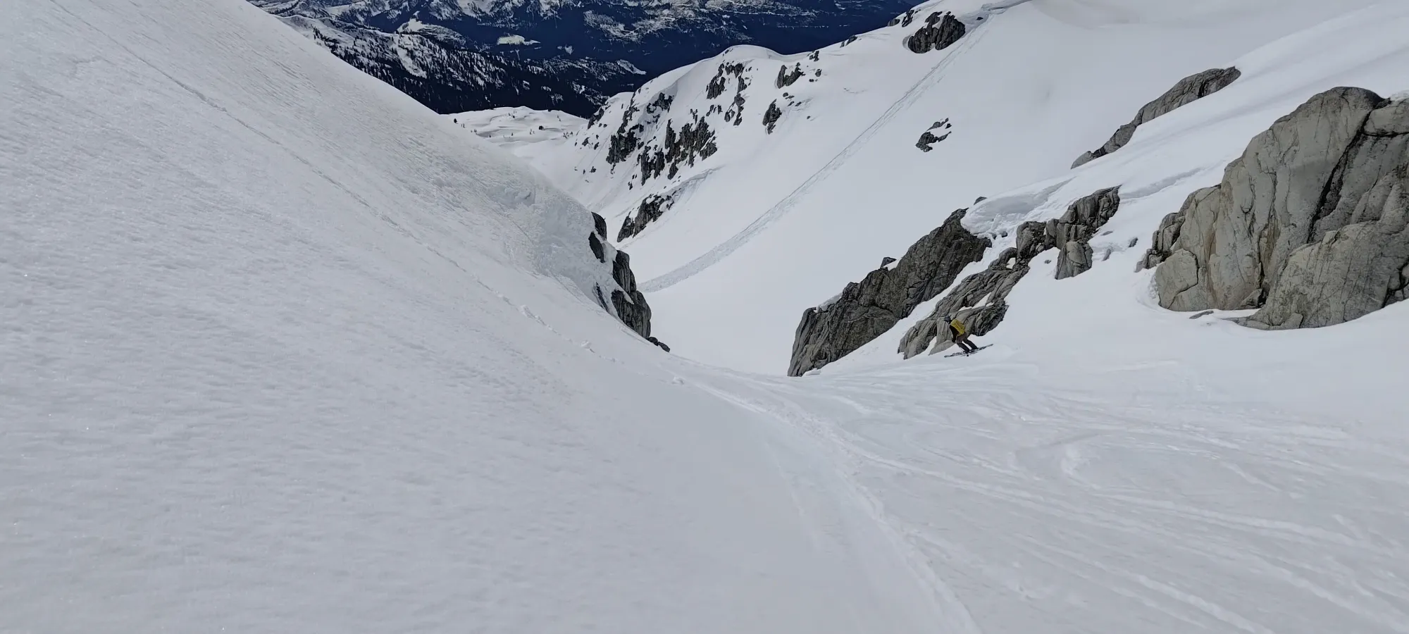
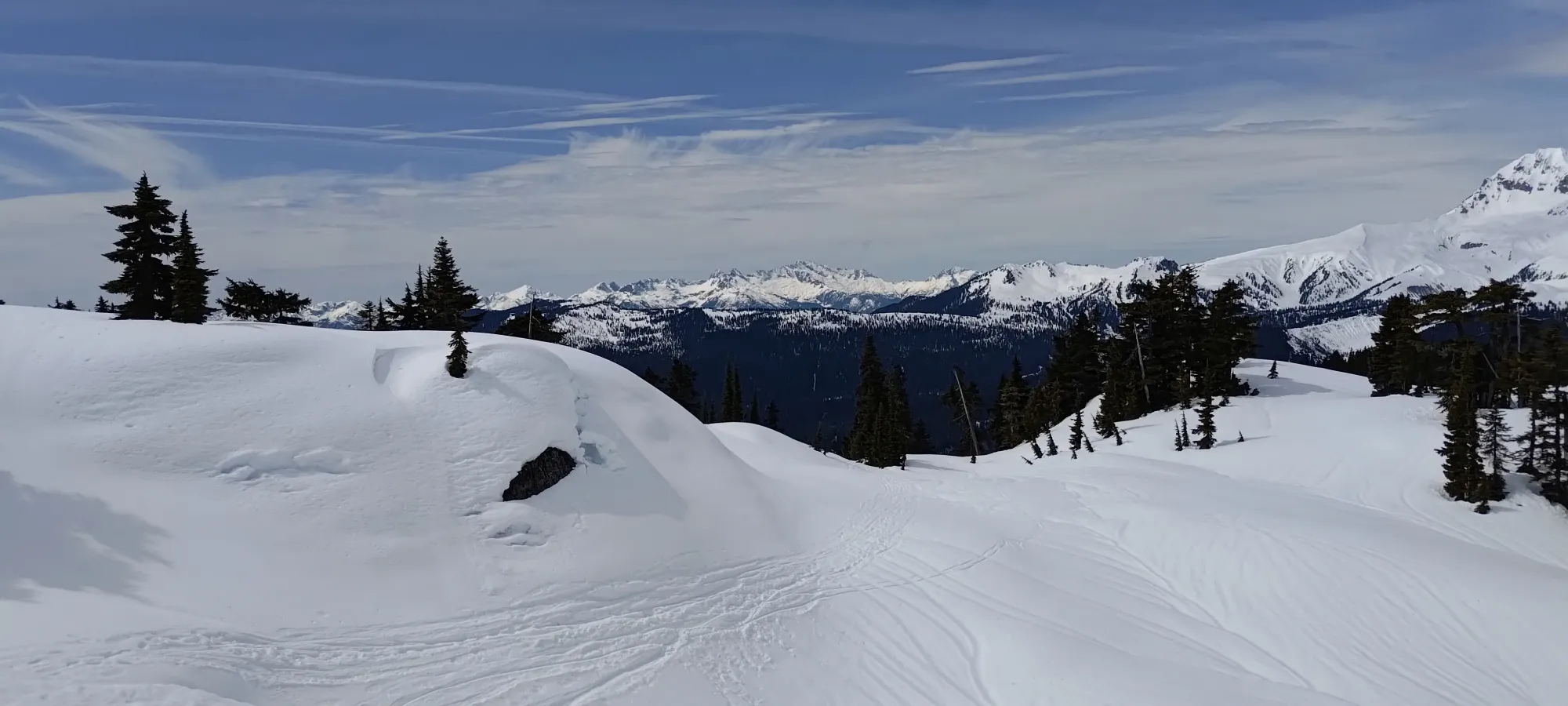
Kelly making some turns on the way from the icefields to the lake
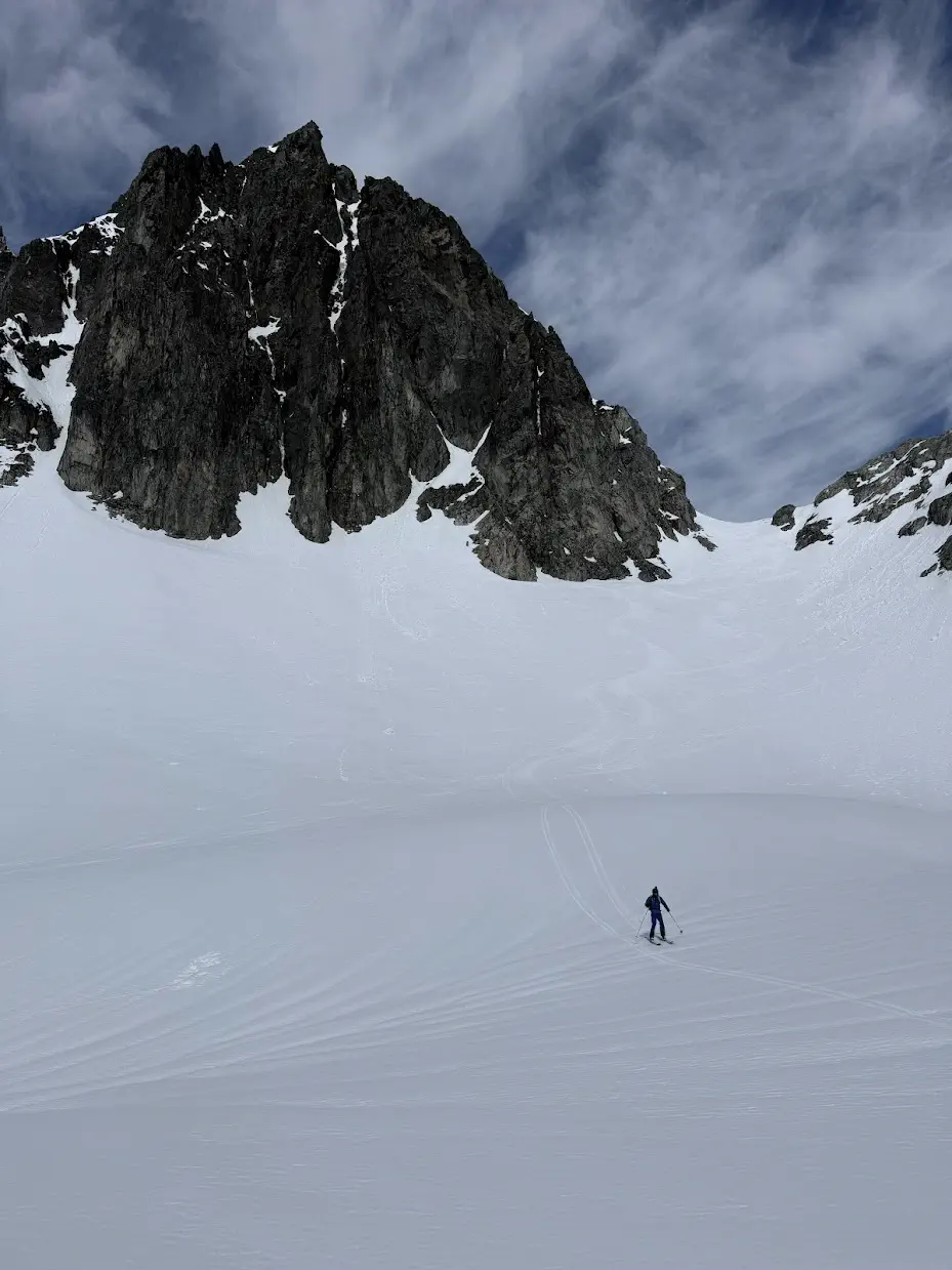
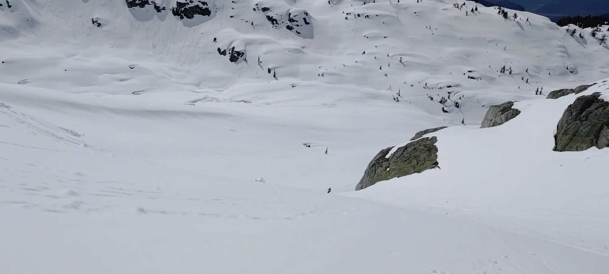
Couple shots of me from Kelly near the lake
Let AI toss a video together for me. Not as much POV as I'd like, but it was 0 effort, so... 🤷
Apparently Kelly decided my legs should feel a little burn on this day, as he didn't really stop for a lot of rest or anything 😆, so we made it back to Darling Lake in 20 minutes, 5 of which were spent apply the sunscreen I forgot to remind Kelly to put on (I'm sorry, I'm not used to thinking about that 🙈). Made for some fun skiing, though. We hit a couple slightly stickier spots on the lower part of the run, but largely it was pretty decent spring snow.
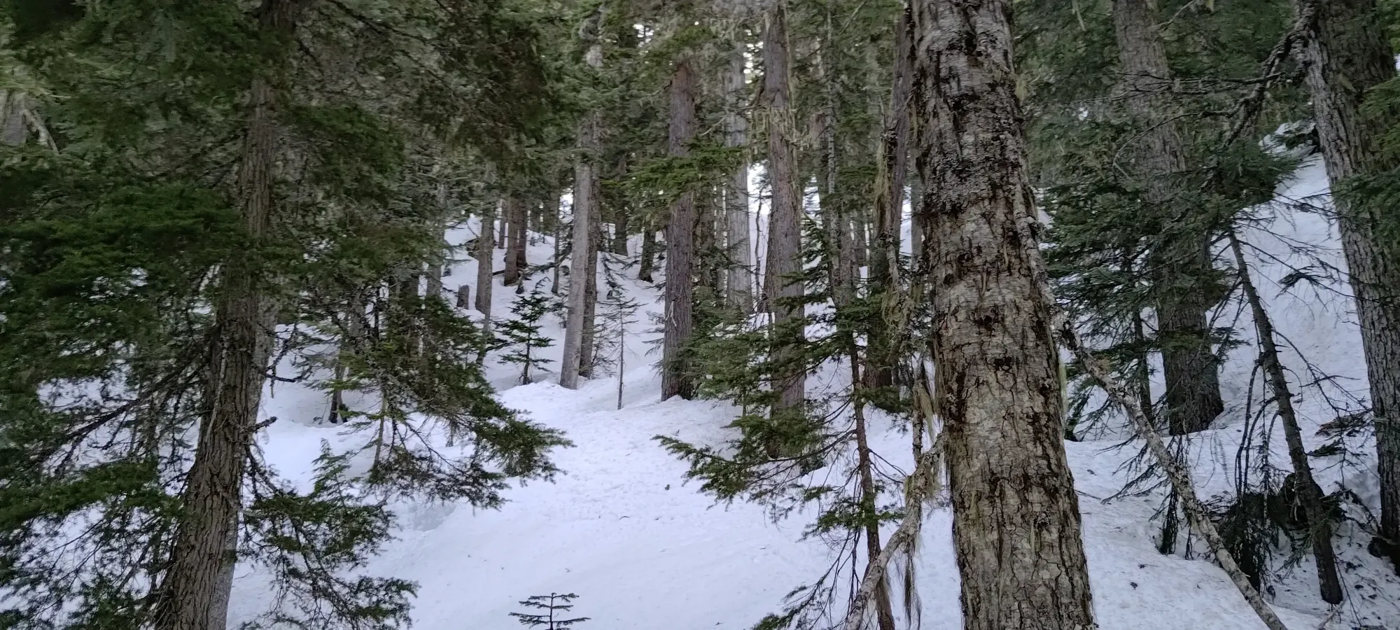
Back at the lake, we had a little rest, and got our skins back on to climb onto the ridge guarding the south side of Darling Lake. After a surprisingly steep 10 minutes gaining 50m, we found ourselves atop the ridge, aiming to cut our gentler uptrack off a bit, following some old tracks that we hoped successfully got some steeper skiing in to accomplish that goal.
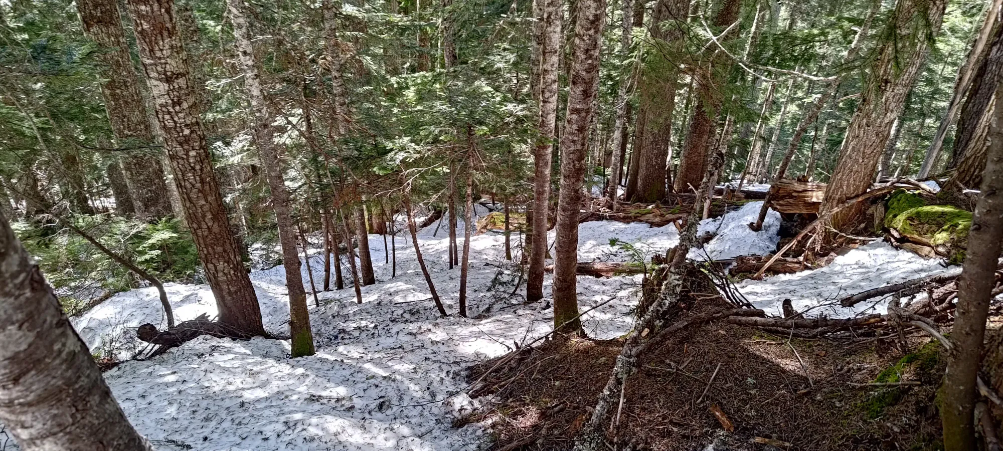
Skiing down from the ridge was pretty fun, actually, decently steep and with nicely-spaced trees. Once we got back to our uptrack, we more or less followed it through the forest until it dropped down into fall line. Below 1500m, the forest was pretty dirty with pine needles and the like, and was getting firm and difficult to turn in, but we were still making progress with more speed and fun than walking, so we kept on skiing.
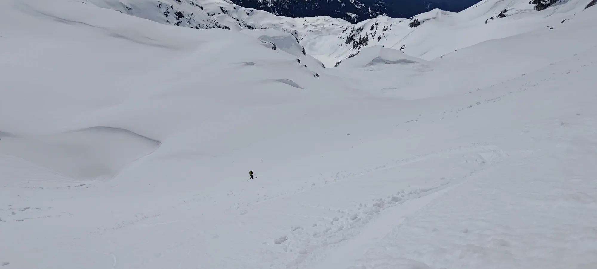
We made decent progress until about 1350m, then we slowed down a lot as the forest got tighter, and the snow harder to turn in. We managed to get just below 1300m before the thin coverage and bad snow convinced us to throw the towel in, and start booting down.
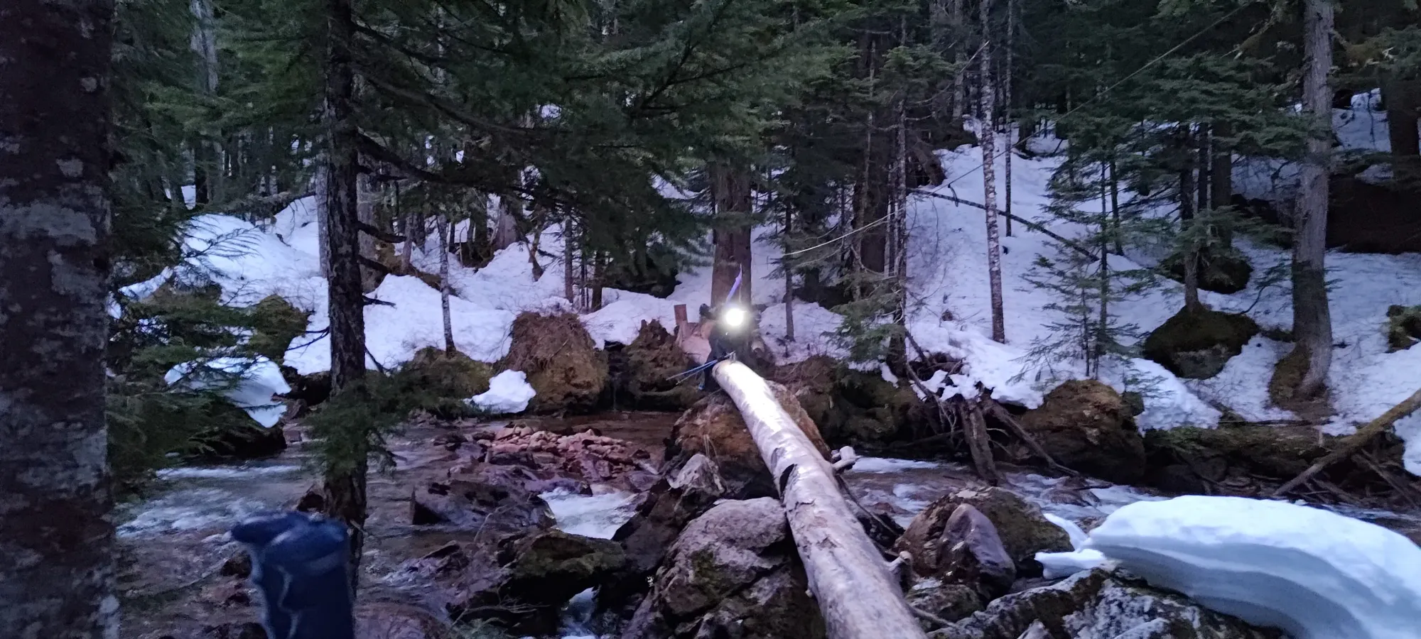
The booting actually didn't take too long, and we made it to the creek crossing in about 25 minutes! There, we found a large party preparing to come across, so Kelly wisely wasted no time in getting on the log, so we wouldn't have to wait for a large amount of people to shimmy across before us. Good timing!
The party on the other side took this video of us shimmy across
It only took us about 7 minutes to get from one side to the other, but it felt way longer due to the tedium of slowly lifting your butt up, shifting forwards, and repeating 1000 times 😅. Once we were done, we just started hiking down, as we were officially in "just get out" mode.
We did start to posthole more at this point, annoyingly, as the afternoon snow in April just wasn't that supportive below 1000m. Kelly did a great job of saving my ankles the pain of finding out where the holes were (much ty), and we got through the worst of it in 10 minutes, until the trail turned back into a verifiable old road. Here, my optimistic memory convinced me something was skiable on the approach, so I took my skis out, while Kelly just kept marching back, with less optimism in his heart 🤣
That didn't go too well, and I ended up skiing for a few seconds, carrying my skis in-hand for like 10-15 minutes, then giving up and booting back to the watersprite trail with them back on my pack for another 15-20 minutes, where I definitely didn't accidentally walk up the trail for a few metres 😅
I hiked this road-like trail (it is an old road, after all) for a few hundred metres until my confidence grew enough to take the skis out for one last attempt to ski a little more...
That worked out alright, actually, and I skied maybe 500m of the trail before I ran out of consistent snow again, and after dragging my skis along for a little longer in my endless optimism, put them back on my pack for the final kilometre past Skullhead Creek to the car.
I didn't stop for water since we put skins on at Darling Lake, so I was pretty parched, but determined to wait until I made the car before stopping to drink again for... reasons. So, I walked out, a little slower and thirstier than necessary, until I finally got back to the car, with just over 15 minutes to spare before hitting the 12-hour mark, and apparently only a few minutes behind Kelly, despite my shenanigans trying to ski out past the Paranoid Creek crossing. Not bad, I would say.
It turns out Tanveer and Logan took a wrong turn on the way up the forest, which cost them some time, and Tanveer made the call to turn back at that point. Logan apparently continued up to around 2000m, but turned back as well, so they'll have to come back next season to clean this one up. I felt bad that they couldn't summit, and had to wait at the car, but they were nice about it, and apparently got some solid napping done in pretty decent weather!
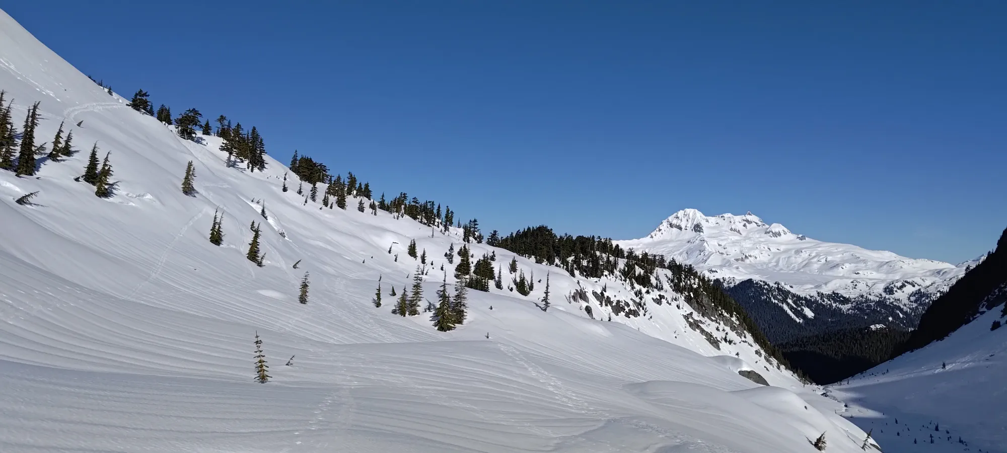
After packing up, we drove out and had some well-earned lunner back in Squamish. Apparently the snowshoers got back about 90 minutes after we did, so that's a win we can chalk up for the skiing column! Always nice when that works out 🙂. As for "do I broadly recommend going up this mountain", for a casual skier, no. It's a pretty tedious approach, the effort:reward ratio is low. For a peakbagger, though, it's excellent. You see this mountain from town, it's a p1000, and it's got a good mix of challenges to the ascent that feel good to navigate. If you can sled in to the trailhead, it would be even better, otherwise we spent more time skiing than hiking, and beat the snowshoers down, so I'd say it's worth hauling the skis for, even for a spring mission. Just don't want longer than you have to for the road to melt out.
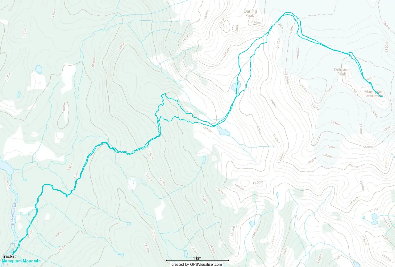
GPX Track + Map