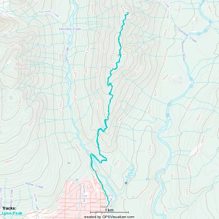
Lynn Peak - November 23 2022
(supposedly) quick pre-work hike since I had to drive down to the North Shore to see the doctor anyway. gotta be efficient!
North Vancouver Area, North Vancouver, BC
1015m
So with the saga of my bike accident recovery still underway, I had to get my stitches out, and talk to my doctor about some stuff, so I found myself with an afternoon appointment in Burnaby. Since this was also the "no morning meeting day" for work, I figured it was prime real estate for a morning hike.
The original plan was to get to Mt Seymour before the resort opens and day passes make planning a pain. Logan was a flex if his legs felt good in the morning, but they did not, unfortunately. So I headed up and got to the bottom of the road at 5:30, with lots of time to spare. But they blocked it off anyway, despite not being open! 7am access only! Since that sounded unpleasant, and walking the road would take ages, I went with the backup plan of Lynn Peak. I got there a bit before 6 only to find that park also gated (though that was expected, at least, since the park management is rather intensive about dissuading winter backcountry travel). I cannot express how much I hate gated parks.
I figured since the road is short and flat, walking it wouldn't be bad, and I got a good spot to park, so I did that, tediously tied my shoes with 1 working hand, decided not to remove my snowshoes from my pack even though I was pretty confident they'd be useless, and set out from the gate at about quarter after 6.
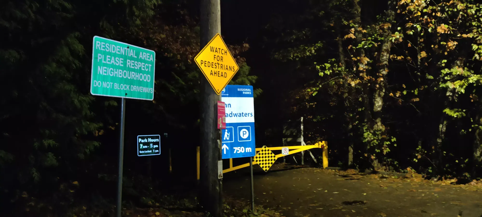
I'd actually bagged this already a couple springs ago, but I didn't record it so I couldn't convince myself to mark it as done on Peakbagger, hence the repeat. Because of that, though, I wasn't very motivated to take many pictures, and my brain now isn't fighting the idea to be more concise than usual given my finger is still not enjoying typing. The road was short and uneventful, as was the trail to the Lynn Peak fork. Super even, well graded, and not very steep.
Once on the Lynn trail, it gets steeper, though nothing crazy. The worse part is that the lower half of the Lynn Peak trail is built like a creekbed, full of rocks of varying sizes that make navigation more tedious than just tiring, which is not much fun. This was exacerbated by the slipperiness introduced by the previous day's rain, making for some annoying progress. About an hour in, I made it up to 600m, and took this picture of the still-mostly-unlit forest.
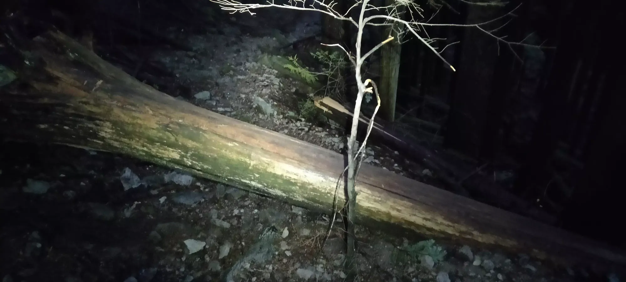
After that point, there started to be some deadfalls along the trail. I took a picture of the first one, but the dozens to follow made me realize the trail simply needed some work, and documenting every tree would be a fruitless endeavour.
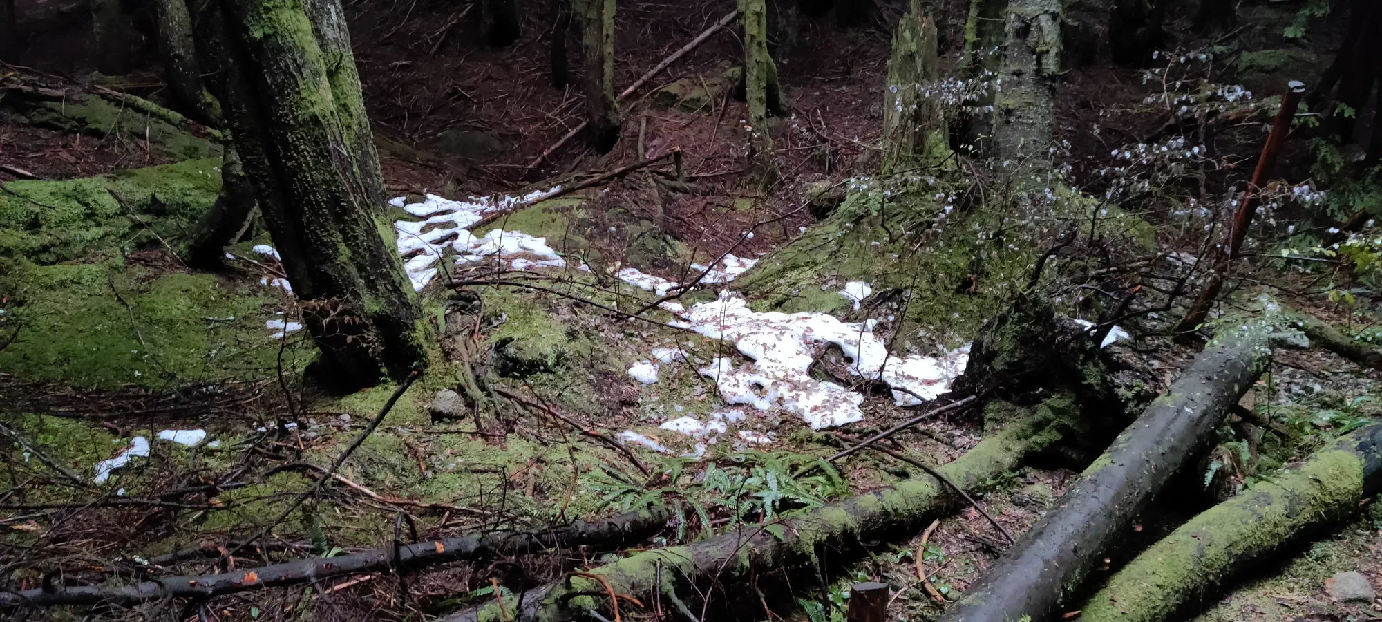
At least, soon after this point, the rocky trail gave way to a couple flatter spots before becoming mostly roots and pine needle soil. On one hand, it wasn't as easy to roll your ankle. On the other, wet roots are even more slippery, so I had to be careful beyond regular levels as my broken hand would not appreciate being landed on. Another half hour brought me to just over 800m, and my first snow patch sightings! At this rate, the snowshoes were definitely going to be overkill. Apparently Grouse Mountain is open, god only knows how. I doubt the skiing is worth lining up or paying for.
15 more minutes brought me to an entirely useless sign reading "Lynn Peak" with an arrow, as if there was another trail you could take instead (there is not). 15 more after that brought me to 2 hours in, and I was on the peak proper (the south peak, that is)! Those 30 minutes were unfortunately wet, as the trail narrows and the trees started to shed their water onto my shirt, so at the peak I stashed the headlamp (which had been off for the last 30 minutes), and got the shell on to prevent my soaked body from getting any wetter. At least my pants had DWR, that helped. The views were nothing, but hey, a peak's a peak. And the north summit was still left; who knows, it could be better. I also took my pole out finally, as I had to descend to the bottom of the col, and descending in slippery conditions without a pole when I wasn't allowed to fall sounded unwise.
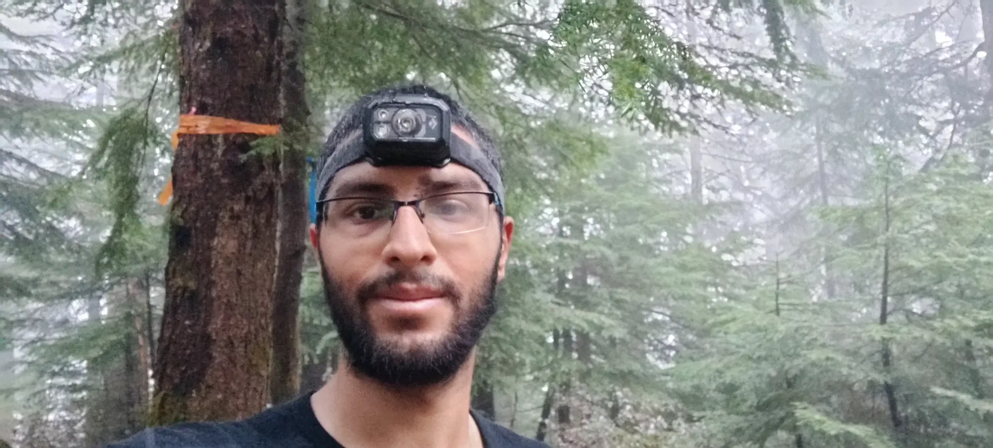
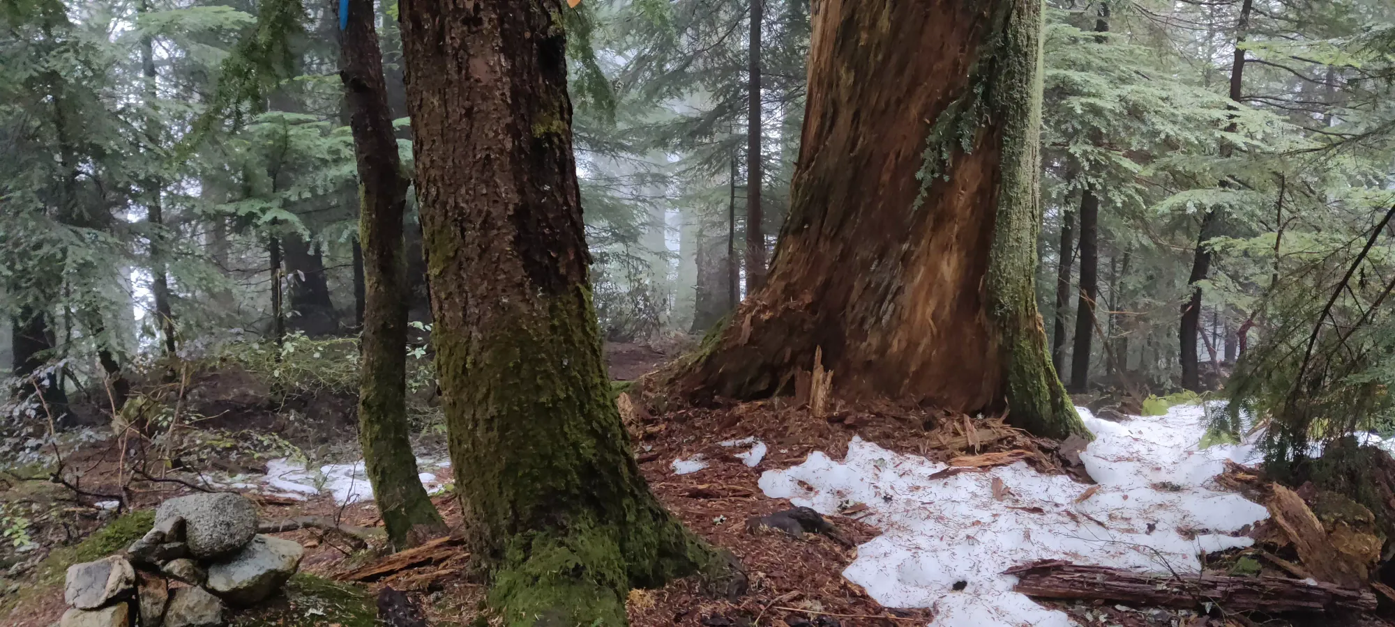
From the south to north peak, there's a bit more snow. Nothing meaningful, just thin patches, but those patches existed more often. There were also even more deadfalls, and lots more trees to shed their wetness onto me. At least I had the shell on now, and wasn't too bothered by that. I wandered around the forest for 40 minutes, now getting a bit tired, as well as having a bit more navigational difficulty with markers (just flags here) being more sparse, plus my glasses being a bit foggy didn't help. But after that slog, I arrived at the summit, just after 9:00.
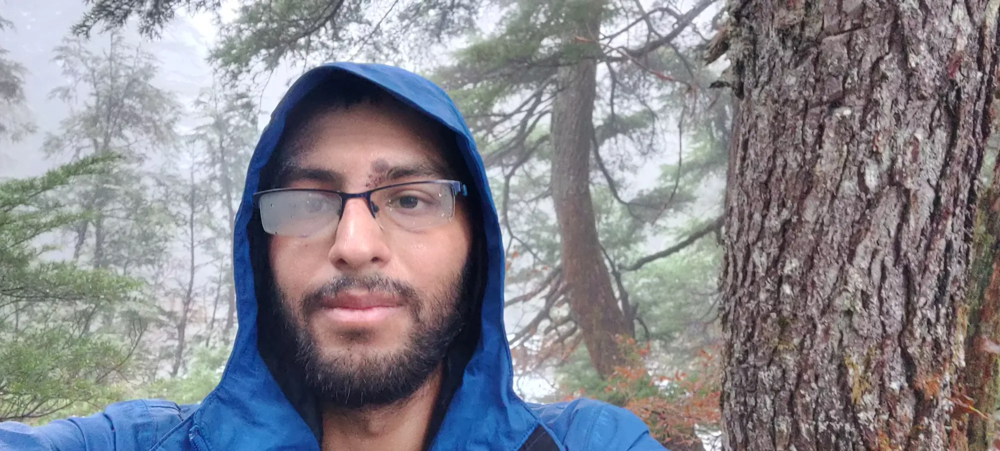
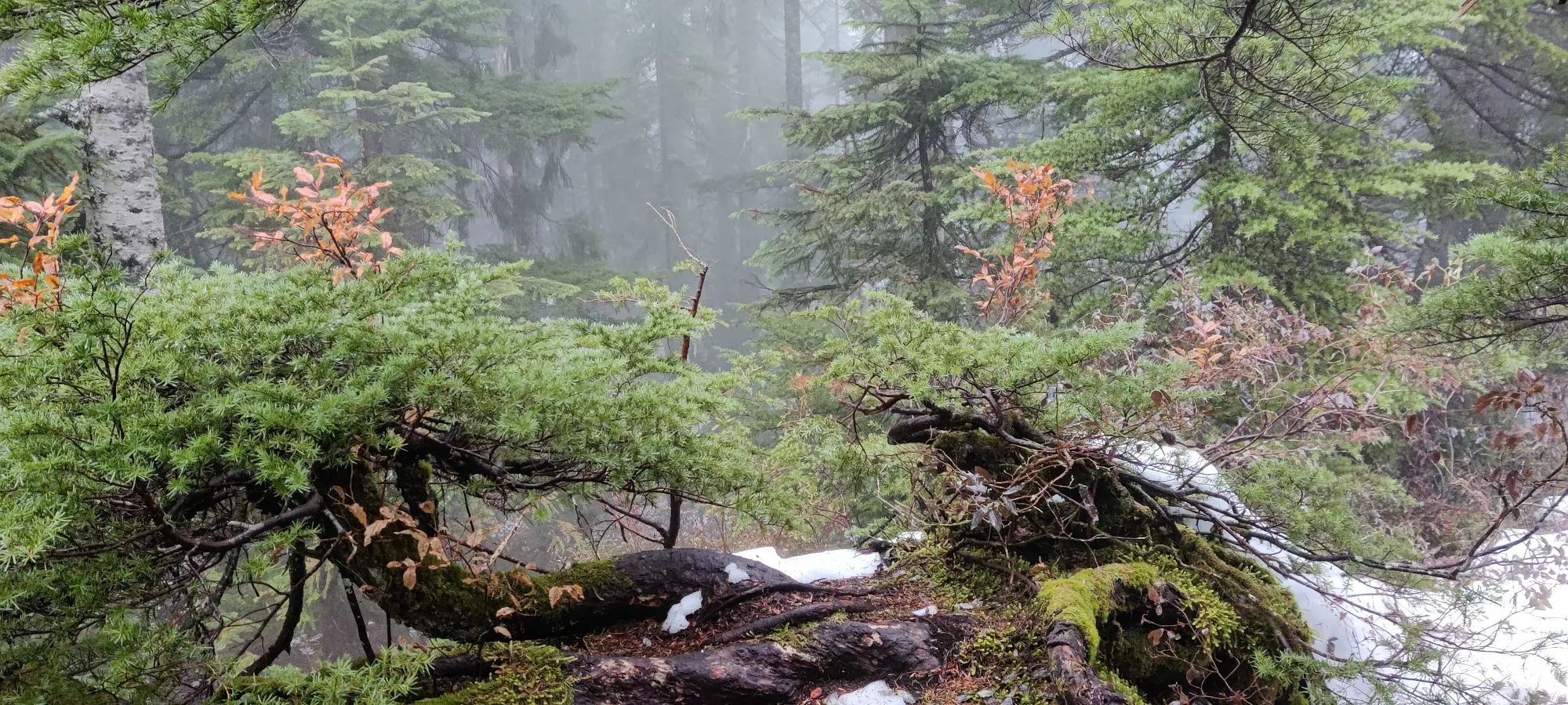
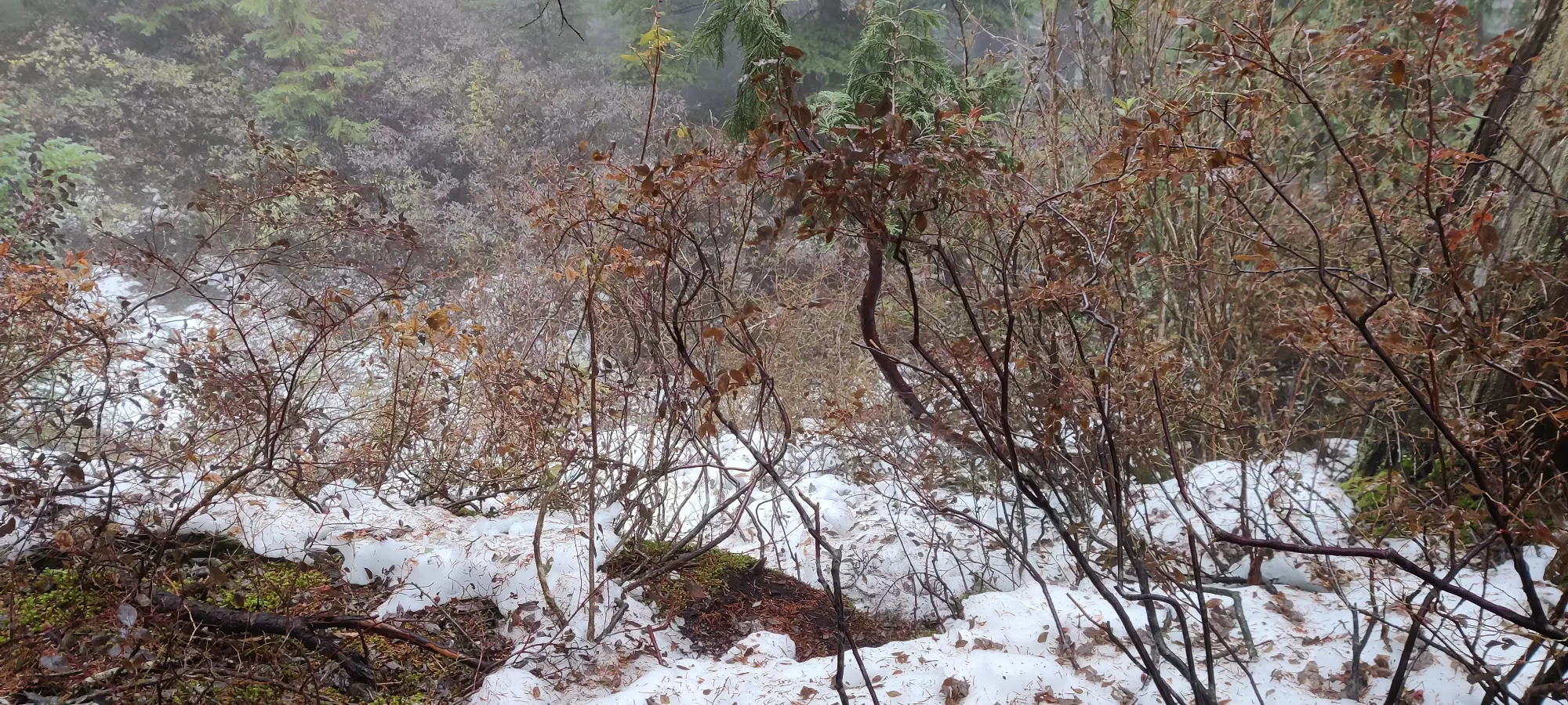
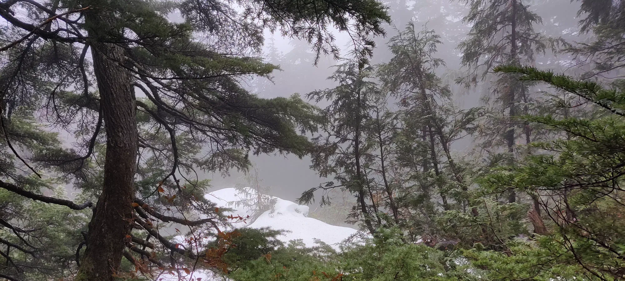
Like the previous peak, I'd not come here seeking views. I did take a few minutes to try and retie my shoes, whose looseness had been somewhat annoying on the way up. I managed to fix that, though I also managed to go too far and tighten the laces on top of my foot too much, which was not comfortable, but given how hard tying them at all was, I didn't want to retry. I can also confirm neither the snowshoes nor spikes I packed saw any use. Which is even more of a shame when you realize I've not had a water break yet, primarily because the snowshoes are strapped so tight it makes the main pocket a massive PITA to access, so I just didn't bother trying to dredge my bottle up. Back to the south summit we go!
It took about 45 minutes for my tired butt to pick my way back to the south summit, where I snapped a pic of the semi-frozen pond in the middle of the trail where the short summit trail shoots off from the main trail. It looked quite annoying, but thankfully was easily bypassed.
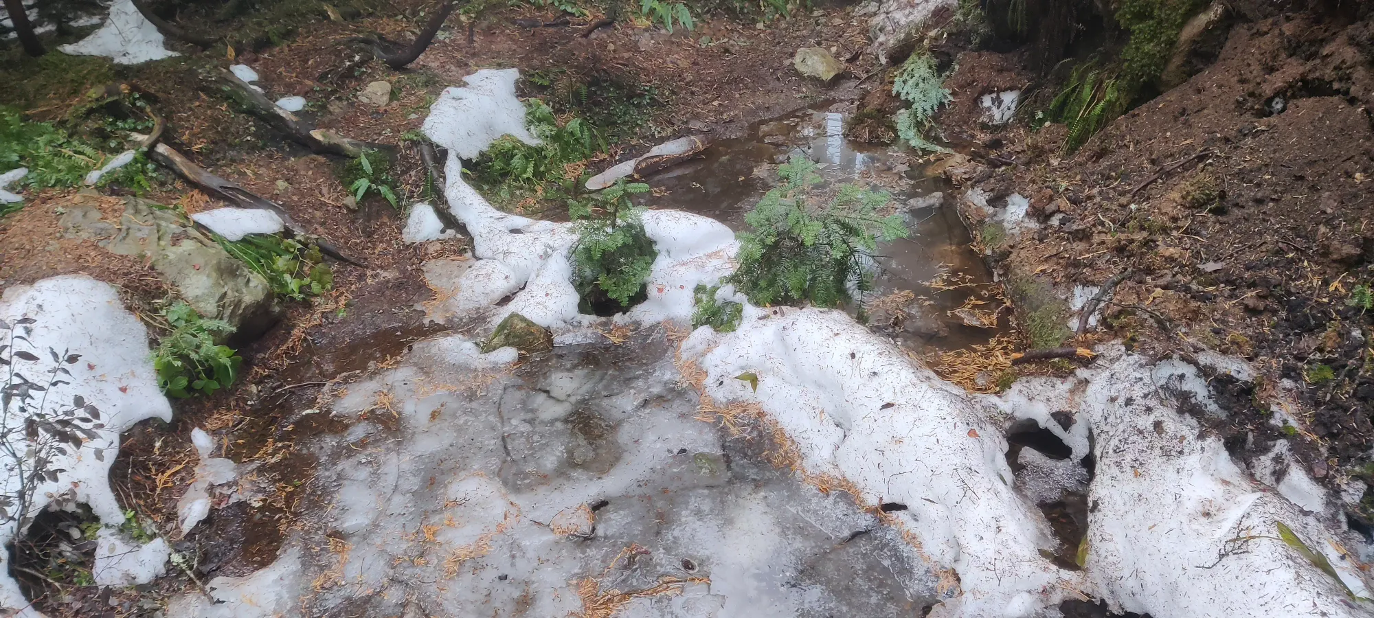
From there, the way down was basically a mental battle of ignoring my feet hurting from poorly-tied shoes, forcing myself to ignore my desire to go down faster and take it carefully, and playing out my internal struggle between knowing water would feel nice vs the tedium of loosening my snowshoe straps, digging the water out, and repacking. I got a couple brief breaks from this on the way down when I met one hiker coming up partway through the lower rocky section, and a couple of saintly park staff hiking up with chainsaws shortly after, who seemed enthusiastic to tackle the dozens of deadfall I encountered. I thank them for their service :)
I got back to the Lynn Loop trail in about 75 minutes, and from there, it was only 10 minutes to the parking lot (with a picture break for the waterfall, of course). I decided that I should just jog the rest to make the shoe pain end sooner, and I wrapped up the last 1.25km in 10 minutes, making my C2C time a somewhat sad 5:15. Given the slippery terrain and my forced extra prudence, though, it's not terrible.
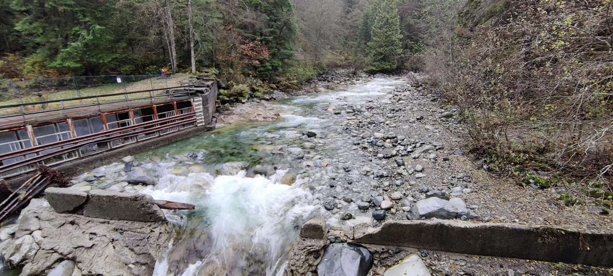
After a soaking wet load-up to the car, I drove to a family member's place in North Van, had a very nice shower, watched Canada lose to Belgium in the 1st game of the world cup, did some work, and headed out to the doctor's. So I at least managed to still fit in some work into the day (and after that as well), so I would say despite the longer-than-planned hike, I still fulfilled the general concept. I would recommend Lynn either with more snow up top to cover more deadfalls and micro-terrain, or when totally dry to make things less slippery, though.
GPX Track + Map
