Loggers Lake Volcano - June 3 2023
After a successful test-run, it was time to step things up 1/4 of a notch, to a mighty "triple digit elevation gain" peak!
Garibaldi Névé, Whistler, British Columbia
920m
After a successful first post-surgery peak (such as it was) on Tuesday, I figured it was appropriate to step it up at least a fraction of a notch, even if I can't quite bring myself to call this a whole entire notch. With my ankle still being pretty stiff and not doing well with articulating significantly, I was on the lookout for smaller peaks with fairly established trails that wouldn't involve any ankle-intensive like boulder fields, scree, or scrambling. Some googling later, and I ended up with the little peak at the south end of Whistler just off of Cheakamus Lake Road, Loggers Lake Volcano.
Logan once again joined for the fun after some morning climbing, and after some delays discovering the road to the trailhead was gated, we parked along the FSR that leads to the trailhead for Cheakamus Lake, and set off toward our objective at about 2:30pm.
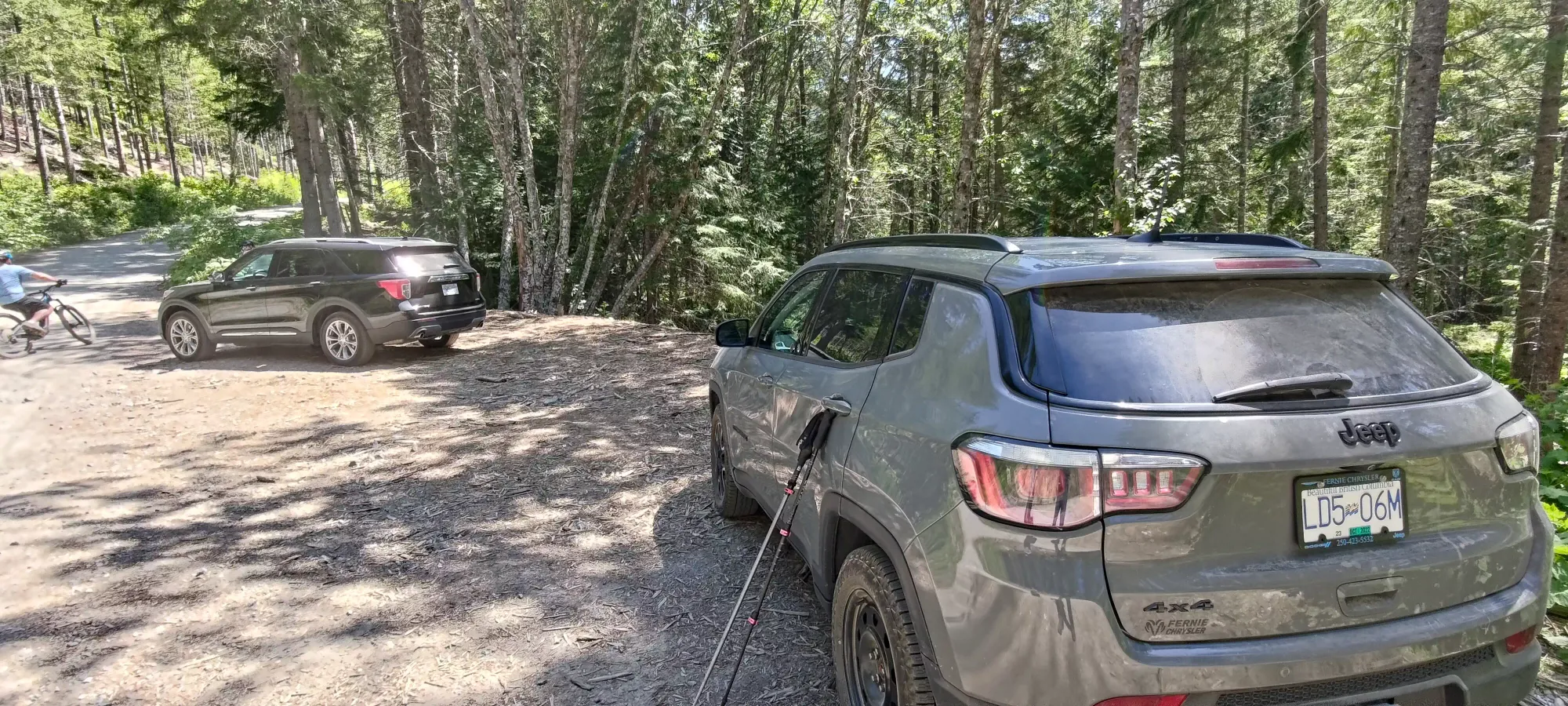
There's a well-established trail used by hikers and bikers alike (there's quite a bit of biking in this area) that leads down to a suspension bridge across the river, which was basically a dirt sidewalk, so the only limiting factors on my speed were my ankle's range of motion and my inability to roll over the front of my foot, but I managed to move at a pace that by Logan's affirmation "wasn't so slow as to force him to actively slow down", at least in the mindset of a casual hike. That's better than last time, so I'll take it!
After the descent and crossing the bridge, we followed the Riverside trail (shared use as well) until we crossed the gated road, and hit our official trailhead. There's a couple here, so make sure to choose the right one, it's the gated one furthest from the road (the trail is just to the left of the gate, and is marked with a sign).
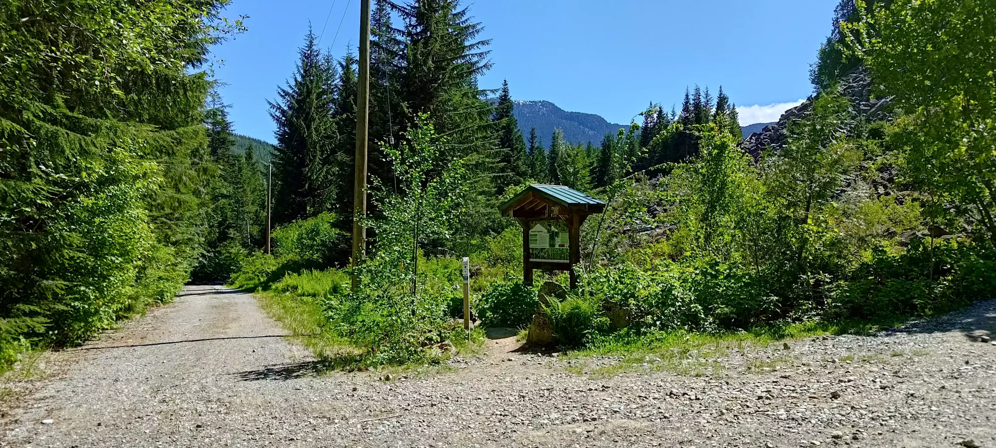
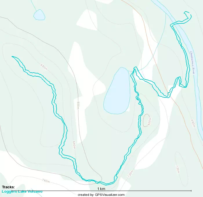
The next 300m are a fairly gentle uphill grade on an old forest road, leading up to a junction where the lake trail (which only circumnavigates the lake) splits from the Crater Rim Trail, which is the one you're looking for if you're reading this. The road could probably be driven if one had a decently capable AWD or 4WD, but sadly this one is gated as well (even if you could get by the one for Cheakamus Lake Road). So far, so good with the terrain being easy, and we made it to this point in about 20 minutes. This was also the 1km benchmark, so that's at the barely acceptable end of pace, but enough to enable the idea of hikes larger than "just a bump".
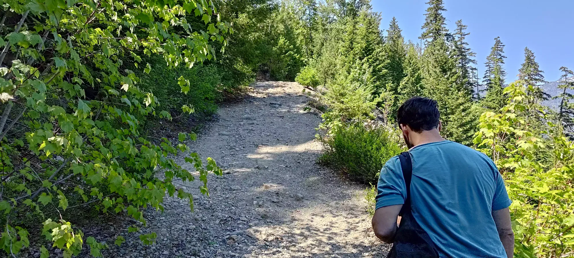

The trail from this point on was much more narrow (it wasn't a road anymore), and not quite as flat, but it was probably still more dirt than rock, and the rocks were usually flat enough that I could at least maintain a consistent pace instead of having to stop and carefully step around large obstacles and place my feet gingerly to avoid tweaking my ankle, so that was quite a relief. I'd budgeted a very-high 4 hours for the hike to be safe, but it seemed that we might be able to recoup some of that time.
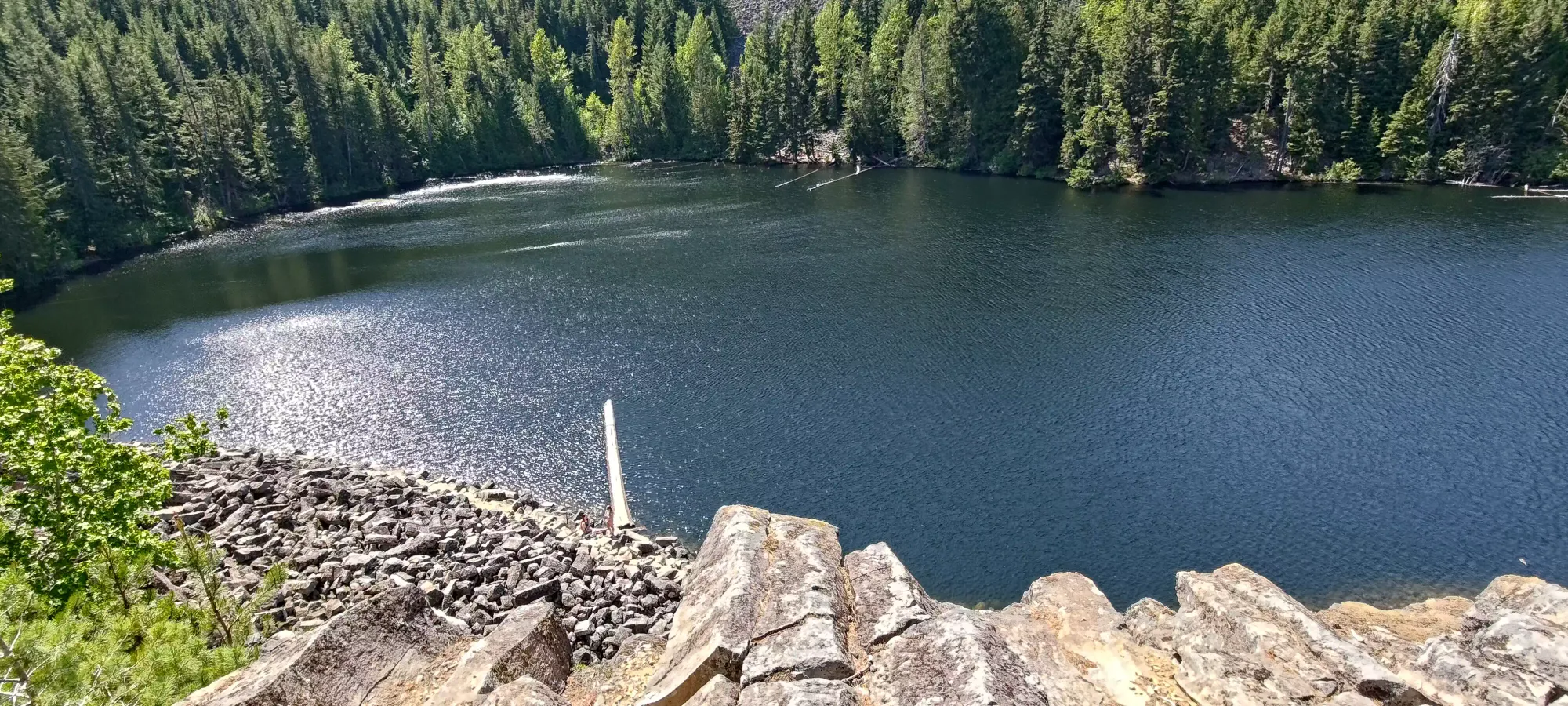
A couple short minutes later, and we arrived at a viewpoint of sorts, with a nice view of Loggers Lake. We stopped to appreciate the view, take a picture, and remark about the "Instagram log" like the one at Joffre Lakes, but didn't linger for too long.

Another 20 minutes after turning onto the Crater Rim Trail, we found ourselves at the second viewpoint, this time looking south toward some bigger peaks and lush valleys. This was just under another kilometre in, and now about 150m higher than where we started, so already we had gone further/higher than the last hike, and without losing pace, so that was pretty great.
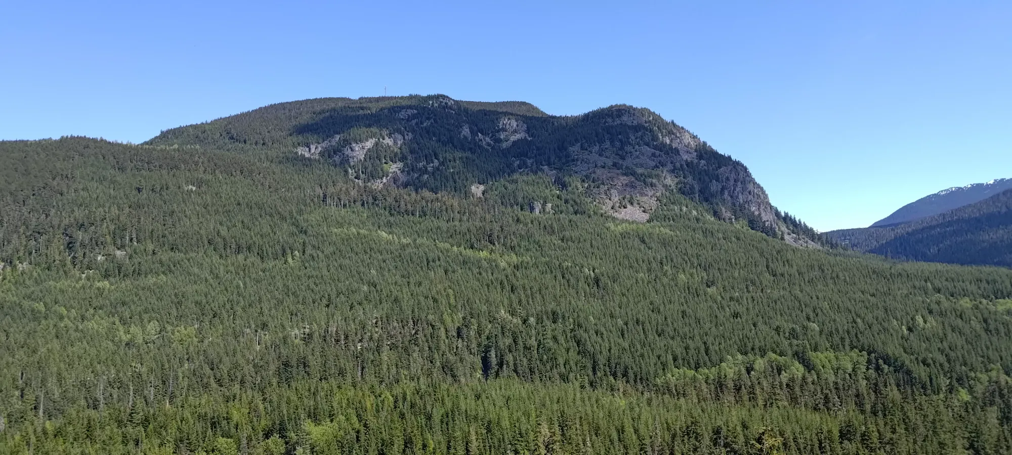
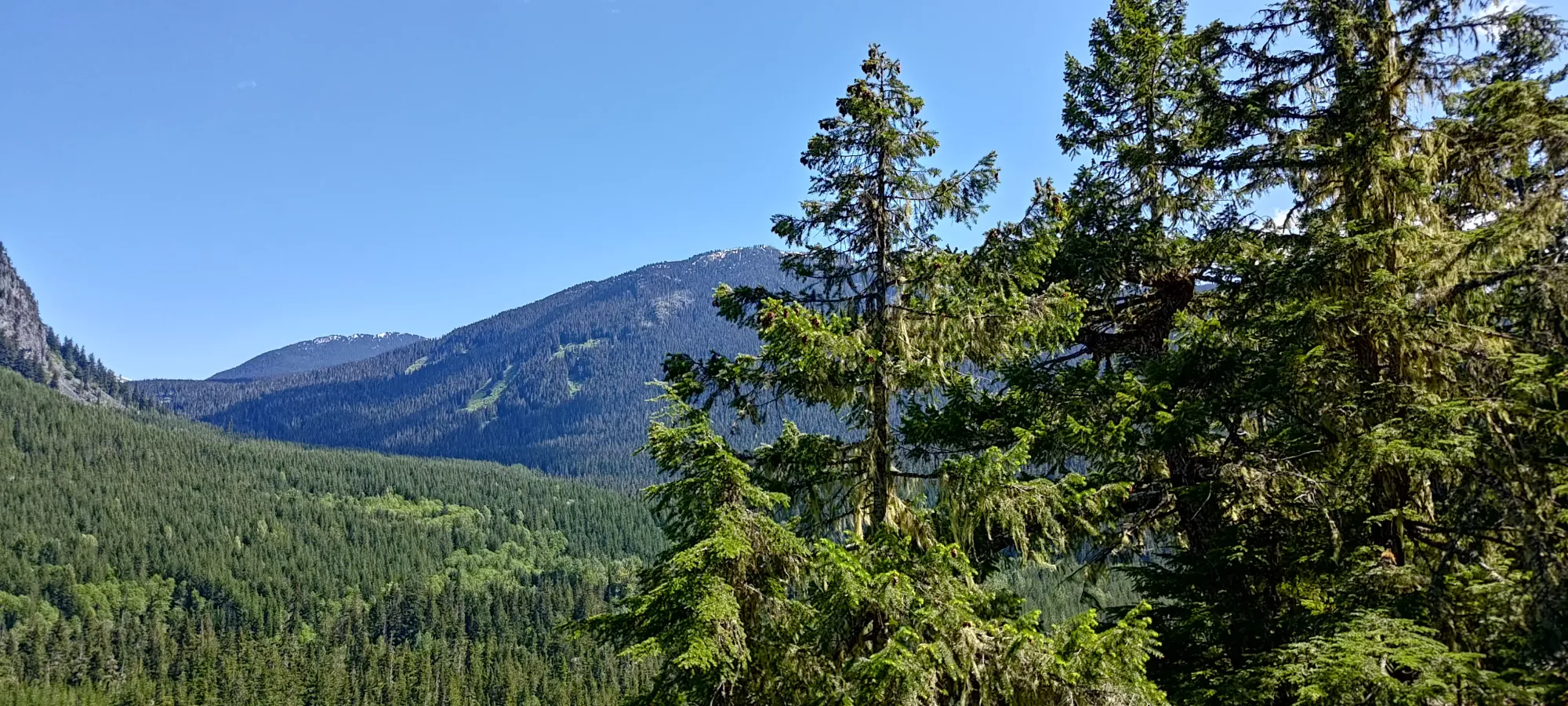
10 more minutes and we gained another 70-ish metres of elevation in the steepest part of the trail, and arrived at the last junction of the way up. Logan somehow thought the trail heading downhill was a good idea, but thankfully I learned from my previous errors and checked for myself before heading on, and turned right uphill instead 😀
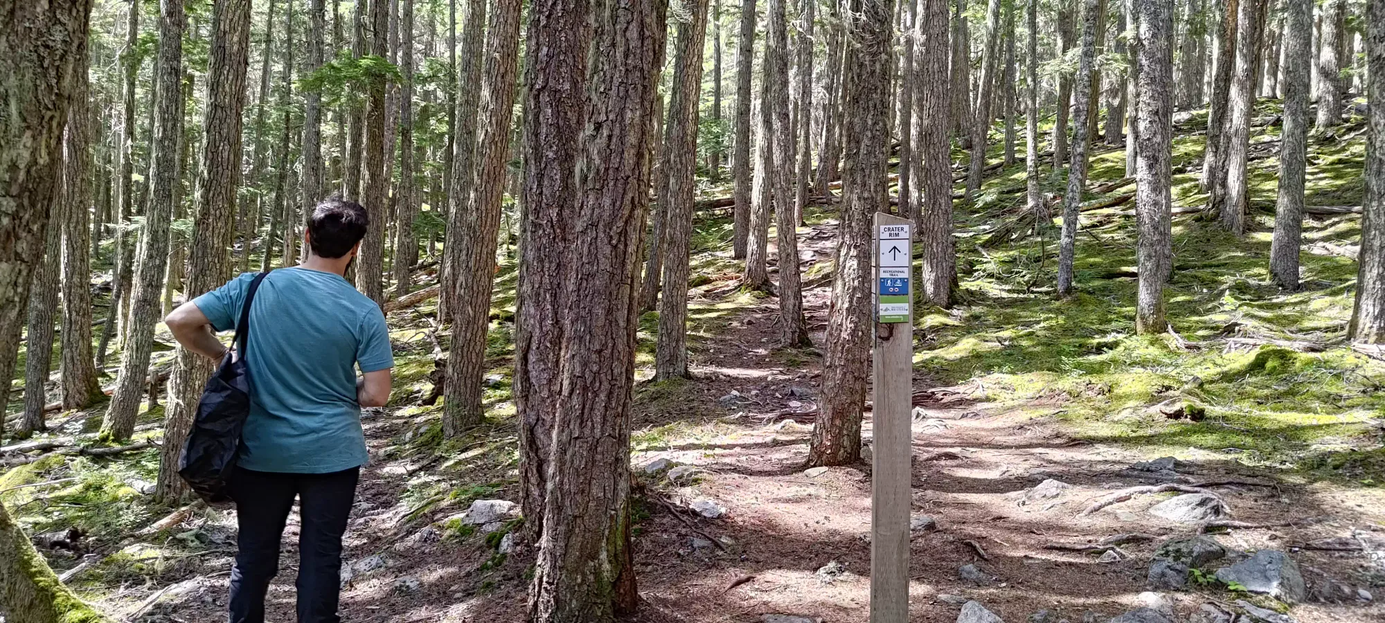
Previous to this section, we encountered 1 or 2 fallen trees that were fairly easy to mount over, even in my state. However, after a few minutes of trekking up on this last section of trail, we encountered a log positioned perfectly to be too high for me to be comfortable trying to mount over it and leap down, so instead I had to duck under it, which was a bit of an annoyance, forcing me to put a lot of pressure on my knee+ankle which did not appreciate the idea (temporarily, though). Other than that, we probably hit 3-5 deadfall on the entire trail, and none were notably difficult to deal with other than this one, which is itself not a big deal for healthy individuals.
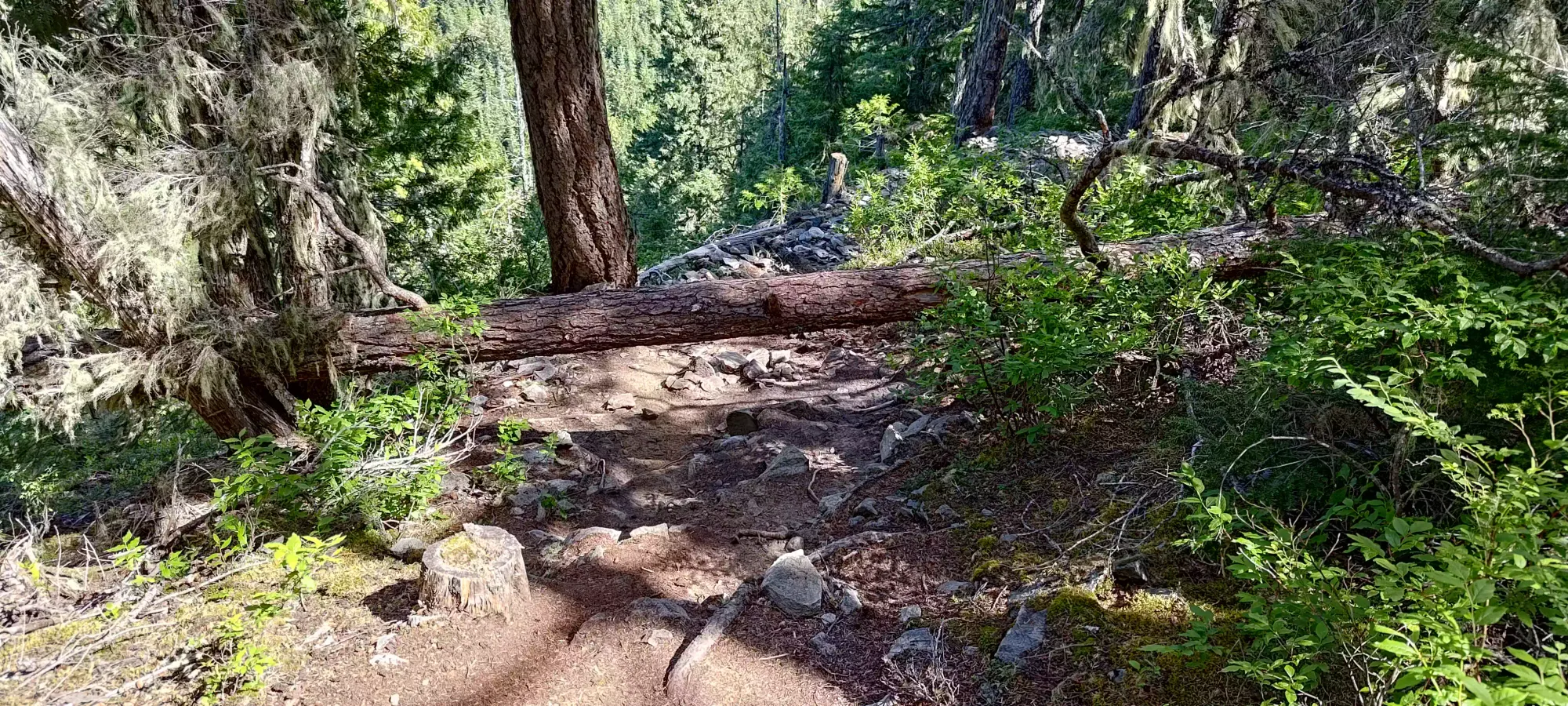
Another 20 minutes of walking along the gradual, undulating ridge, we finally hit the high point. It is not marked, and is actually a few metres to the left of the trail (if you approach from the south like we did), but there's no bushwhack necessary to get there, just walking on some mossy ground. There wasn't much of a view, though, so after some summit pics and checking our phones, we headed back the way we came. This is often done as a loop, but the northern half had some steeper sections that would've likely been more annoying for my leg, so we decided to do it out-and-back instead. 1:10 to gain around 300m isn't bad for my condition, I'd say!

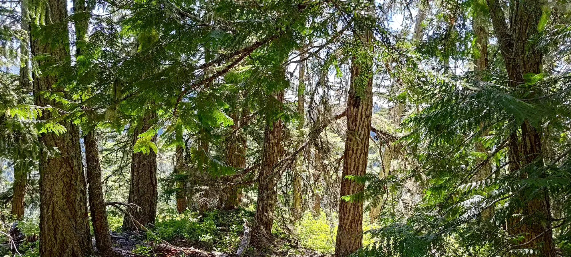
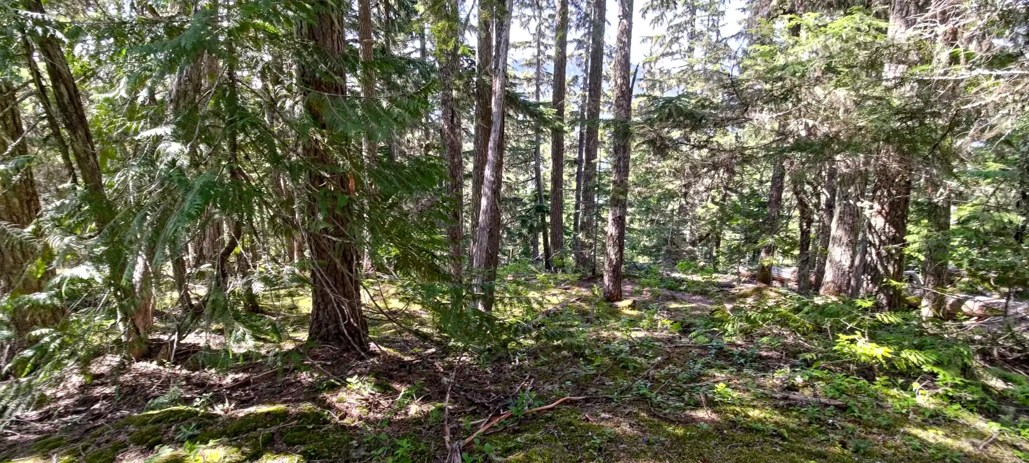
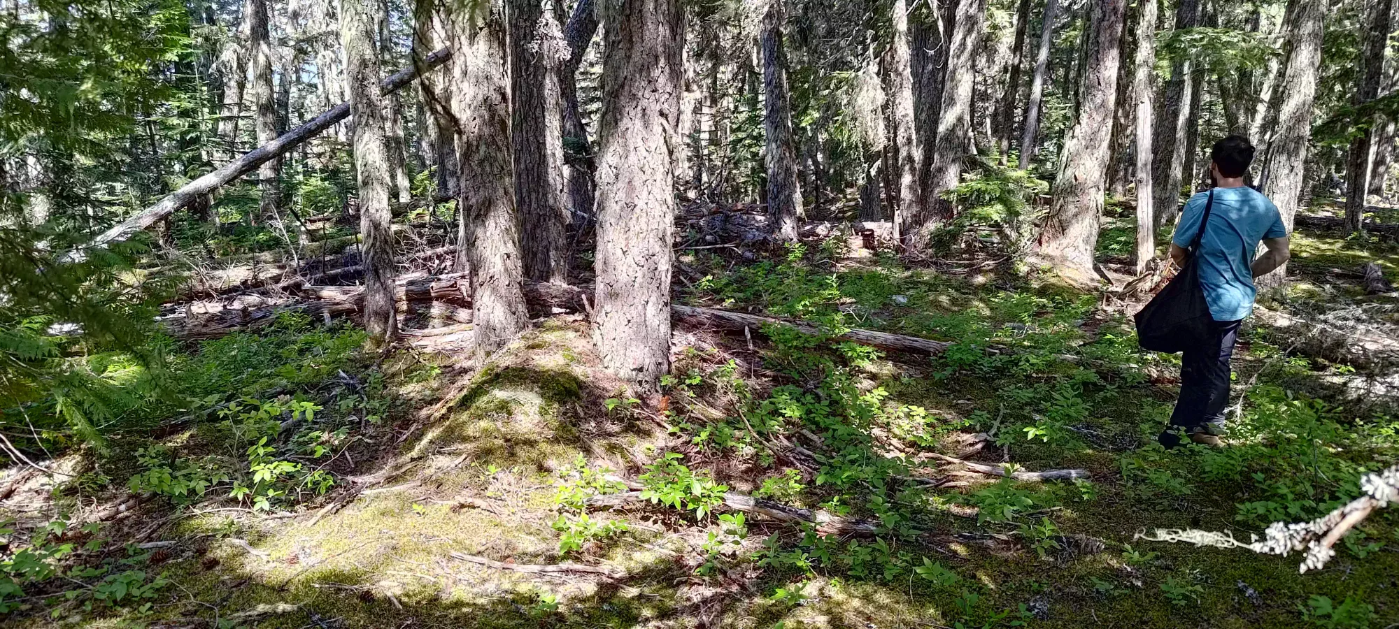

Based on the last hike, I was expecting the downhill to take longer than the up. While this was technically correct, it was actually basically just about equal. This is, of course, still far from normal, but hey, I'll take it. This is definitely due to our route selection of a gradual, fairly even trail instead of a very bluffy one on our last outing, but all that means is "I can be somewhat efficient if I select my routes carefully". There wasn't much to note coming down to the road.
Once we did, though, we encountered a hiker who said he'd been informed of a bear in the area, so we decided to take the bear spray and keep it in-hand until we got to the car. It seems this news spread around because a couple of guys came jogging by us on the way down the Riverside Trail, joking that they were running from it. They got me good for a second before I thought about it and figured they'd probably be making a lot more noise if that was the case.
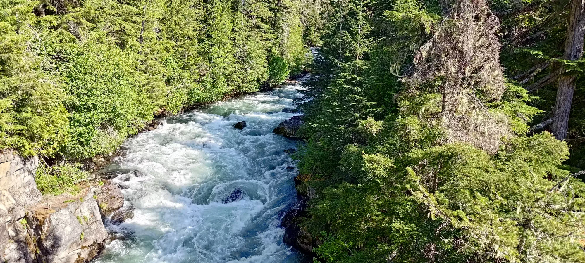
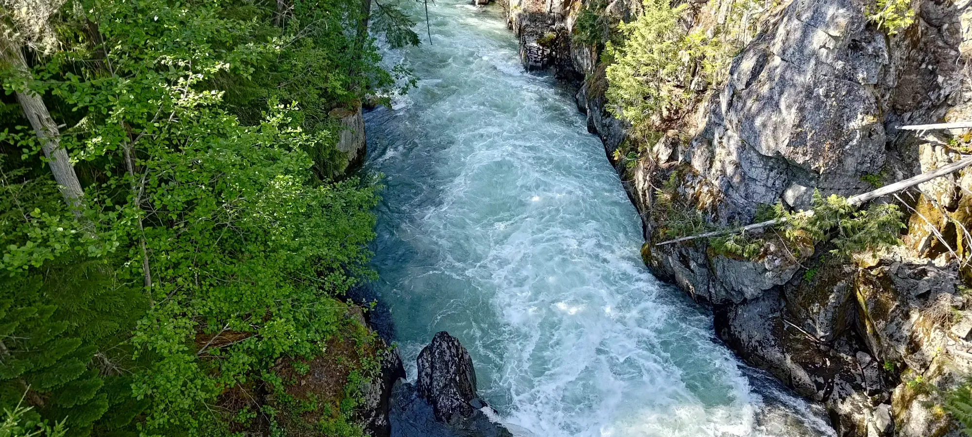
Before getting to the car, I did have to take 1 short stop on the bridge to appreciate the rushing water of the Cheakamus River, but we still made our goal of <2.5 hours, so I think it was well worth it. I'm not known for being much of a views-oriented guy, but I do enjoy staring at raging rivers quite a bit. Since I was being my usual self and didn't have any water yet (in my defence, I had a disposable bottle, so really I was just being environmentally friendly), it was looking especially delicious.
Once we got across and back to the car, we decided to stop for dinner in Whistler since it was so close, which was nice. It was weird driving up without snow and an intent to ski for the first time in a while, but not having to deal with a mad rush to get parking or risk paying for it was also a pleasant change. Too bad there's no train to help fix that...
While this was a short outing in time, distance, and elevation, it was pretty well-paced, confirmed my theories on the kind of terrain that work well for my condition, and hey, it was a peak, so I'm quite satisfied with the outcome. This is a great, easy trail you can take basically anyone on, so if you only have time for something short, and especially if you have non-hiking friends that want views and the experience without the grind, this is a good place for that.
GPX Track + Map
