Little Horn Mountain - June 4 2022
Coast Mountains, Anmore, British Columbia
451m
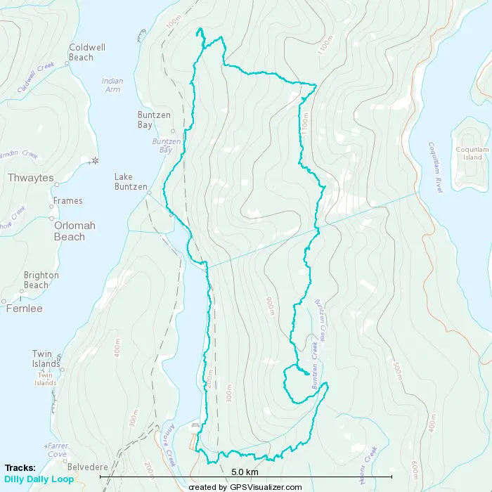
This is a continuation of our Journey along Dilly-Dally loop, specifically the 5th and last peak on our trip, picking up from the TR for Dilly Dally Summit.
Until this point, with the exception of the bushwhacky, unmarked, and disappointing mess that is Eagle Mountain, the hike had been fairly pleasant. We were even feeling pretty good about our pace, it being about 3:30 when we set out from Dilly Dally Summit, and the gates closing at 8:00. Since we should basically only have downhill from here, and 1 peak left, we thought the hard part of the day was behind us. We were... wrong.
I do not recommend going past here at this point unless you're really determined to get this last summit for the sake of peakbagging. The views are not good, the trail is pretty terrible, and it's a pretty long distance, further than we thought when glancing at the map when planning this trip. The rest of this trip report should illuminate exactly why.
Once we left the summit, we actually had some positive energy. The first few minutes were going down slopes and snow that combined to be just right for standing glissading (sadly we did not have axes). Sadly despite being the better skier, I am terrible at this form of descent, so I quasi-slid with more frequent stops, but we made good, fun time for the first couple minutes. However, at the point in the GPS track where we make an obvious detour to skier's left and turn around back toward the trail, we thought we made the right choice for the terrain, and went around what the GPS said the trail was to avoid some steeps. Sadly, this did not end up circling back, so we had to slog right back up a fairly steep descent track, and hem-and-haw before accepting our fate and going through a gnarly steep area with trees.
Once we got through that, it was going down some fairly steep, difficult-to-navigate (the markers seem to be mostly buried here), and crusty snow on the north face of the mountain. What was nice and slide-friendly up near the peak was now crusty and hard to control your fall on, and we had a few slips. Down below 1000m, we also started punching through occasionally, which is never fun. So the descent went pretty slowly in the snowline as we had to traverse across some much better-for-summer terrain trying not to just fall down the hardpack, with frequent GPS checks to keep us near the trail.
Once the trail turns west the markings get a little better and/or more visible, and the challenge is just slope+snow and finding reasonable paths to the next marker through the indiscriminate forest terrain. We mostly got out of the snowline a little above 800m, but we soon encountered 2 of the things that make this trail difficult to recommend: deadfalls galore and creek crossings.
We got the first creek crossing (other than the bridge-building exercise at the beginning of the day) not long after we got out of the snow, and there was definitely some leap-stepping required to get across dry, and a rather powerful flow waiting below should you miss/slip. Once you got across, you're greeted with a trail that has (as of the time of writing) literally over a hundred deadfalls between here and the end of it. It might be well-marked, but it is terribly maintained.
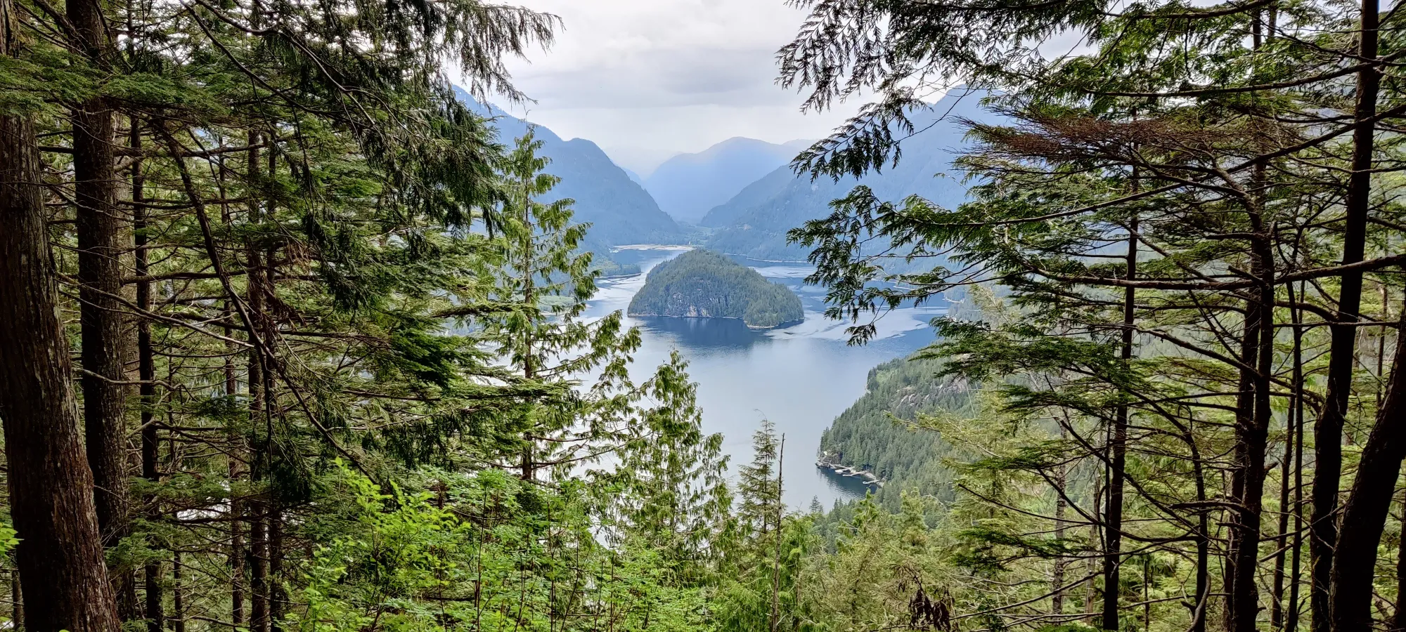
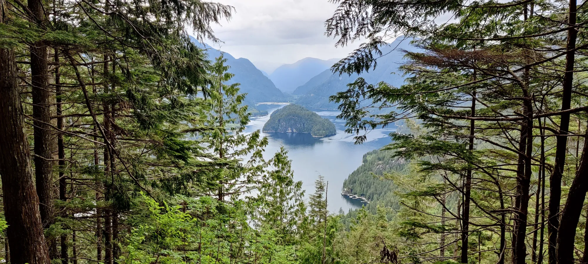
Past this first crossing, we had a lot of undulating, deadfalls, and small water flows to cross that made progress slow, and it was slow going until another creek crossing of a similar nature, until eventually, about an hour and forty minutes after leaving the former peak we got to the "157 Lookout", and we got to see something other than fallen trees and rushing water for the first time in a while. This was about 5:10pm, basically 9 hours in to the hike at this point. We were somehow not super tired yet, probably because the terrain made progress too slow to knacker us out.
After about 5 minutes of rest, we soldiered on. There were some patches of trail that were better than others, but still far too many deadfalls, and some sections that had markers but seemingly no actual trail between them. The rain we'd got in the previous days, and on/off the day of also made any logs on the ground quite slippery, so progress was overall still pretty slow. We hit the turnoff to the "peak" in about 25 minutes.
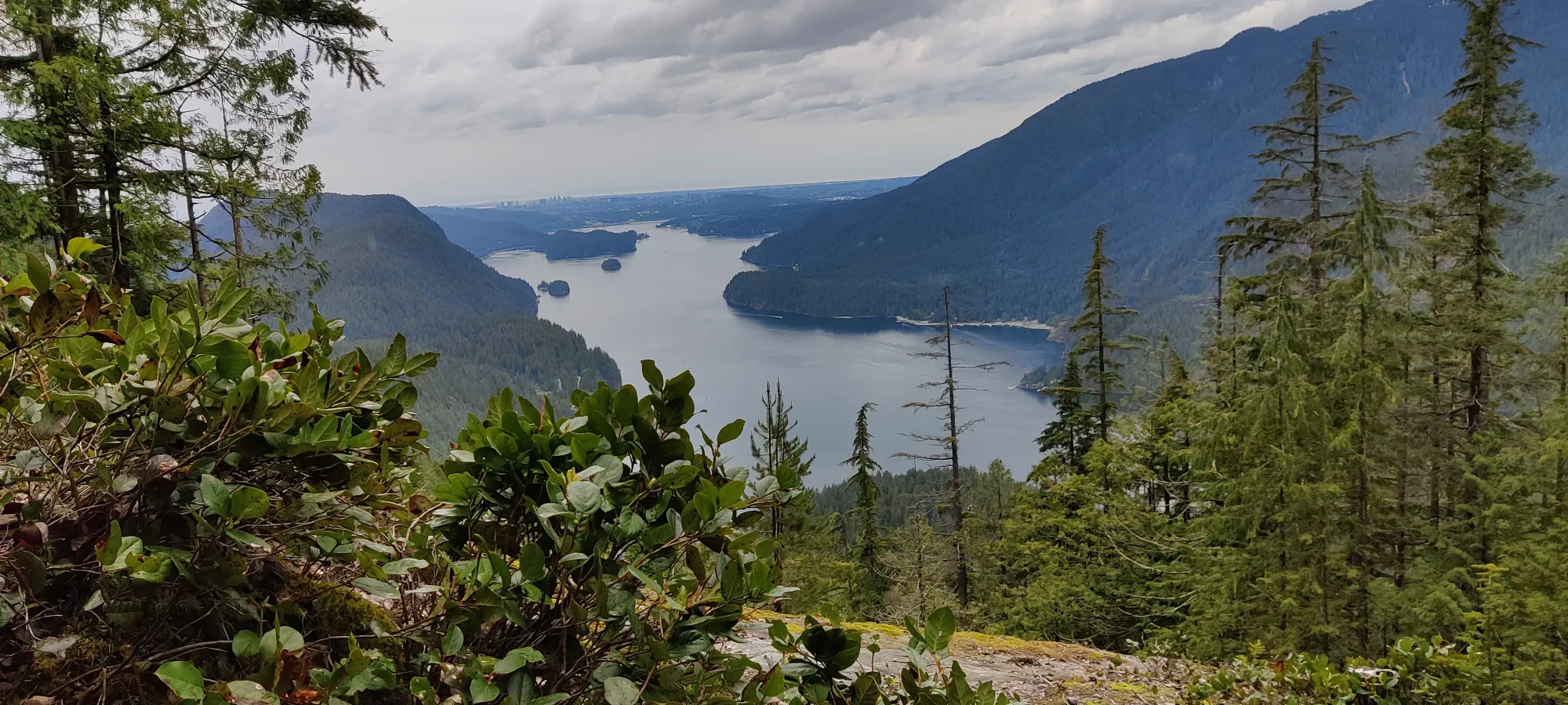
This section of trail is actually pretty well-defined and easy to follow. Still a couple deadfalls, but nothing compared to the main loop's state of affairs. We took 10 minutes to get up to Croker Lookout, the main attraction, and got at least something pretty to look at.
From there, we took another 10 minutes to get to the "summit", an entirely underwhelming piece of rock slightly higher than the trees around with with no views, so unimportant the trail actually goes past it without any markers going to the top itself for another couple hundred metres. We took an obligatory summit picture, cursed whoever decided to give this stupid thing a name, and turned around to make our way back to the main trail.
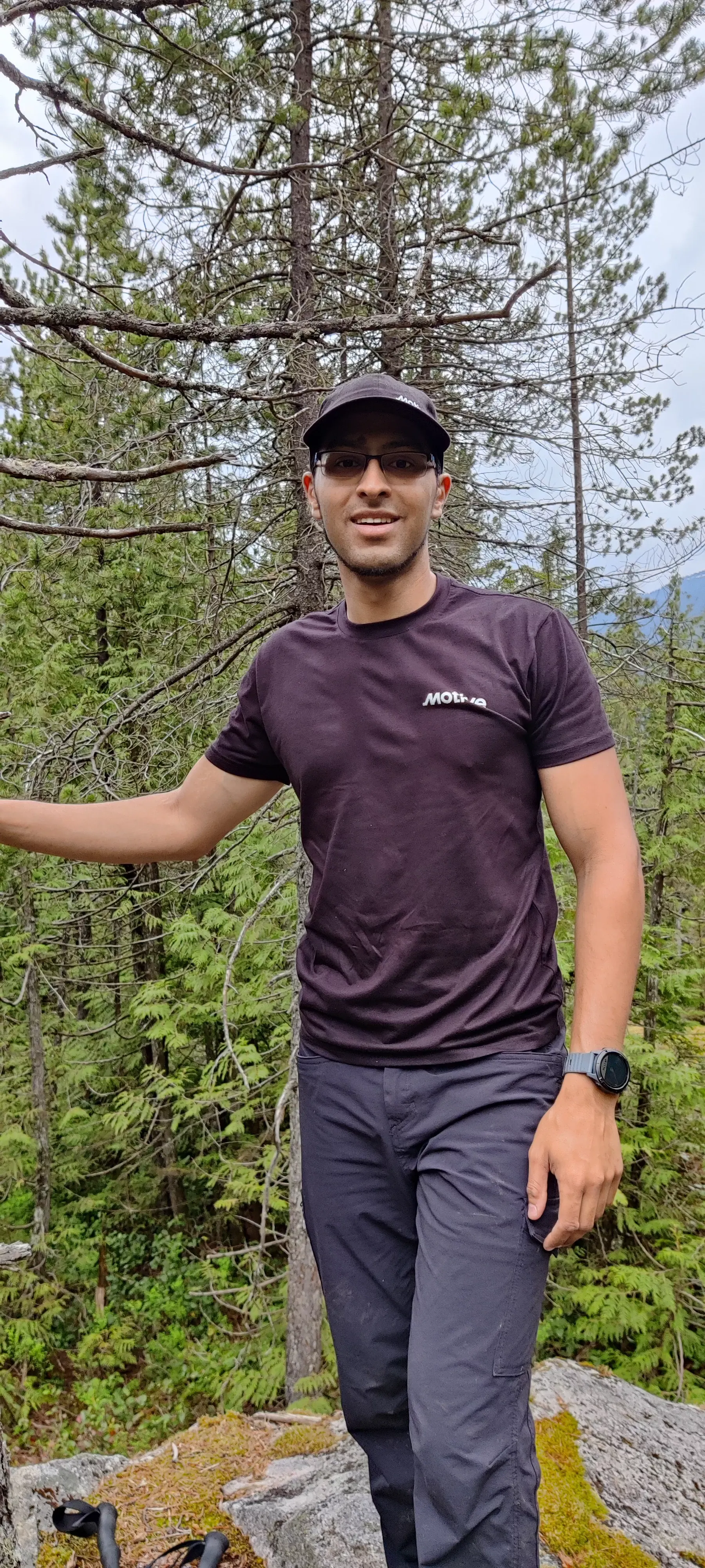
Meeting back up with the trail took about 10 minutes, and at this point we donned our rain shells as the rain was picking up, the temperature was cooling off, and we knew the lake area we thought was coming up sooner was a bit more open, especially once we'd hit powerhouse road. Of course, this is actually the furthest point from the parking lot we'd been all day, so we did not quite realize how much hike we still had left, so we probably could've relied on tree cover for a while longer, but that was the least of our problems.
From there, we began our descent of misery. The rain was slicking the ground up even more, there were tons of logs buried into the ground parallel to the trail as if they wanted you to walk on those slick monstrosities, what almost looked like a failed attempt to put in a railroad (smooth rock with metal rods running across it) which was no fun to walk on, and generally non-speed-walkable terrain for 2 miserable kilometres or so.
What really put the icing on the cake was another 4 or so creek crossings, again of course with no actual way across. The first 2 we both managed to carefully hop and lean+step our way across without any incident. The third, I dunked a foot on, and the fourth I managed to get across with a literal leap of faith, but Logan managed to get leg-deep in. So that was slow and miserable...
We managed to regain Buntzen Bay Road just under 11 hours in, so about 7:00. However, upon checking our clocks and GPSes, we realized that we still had about 6km left. So we had to move at 10min/kilometre, which is solidly in the realm of a slow jog. For us after having summited 5 peaks and already gone 20km in the process, and about 1800m of elevation, we were dreading that prospect. But, we'd also heard not-so-great stories about the strictness of the gate control here, so we grit our teeth and began an ambling jog.
We hit powerhouse road in 15 minutes, having moved 1.43km, so we were just about on pace, perhaps a bit slow. The next benchmark was hitting the top of Buntzen Lake, 11 minute later and 1.07km further along. Still keeping on pace and not entirely dead, we kept moving, but dreading the fact that we had trail to go back on, as we weren't sure if the powerhouse road would have a way for us to get to the parking lot safely, and we were also kinda hoping to run into other hikers on the way to increase the chance the gates would stay open.
However, the trail had a lot more undulations, so we made slower progress, as we were too gassed to run uphill, and of course running on trail requires more care than flat road. We continued together, jogging on and off until we were a mile away from the car, a bit over 24km into the trip, with about 10 minutes until the gate was supposed to close. Logan seemed to have a bit more energy, so I told him to go on while I plodded along as best I could (for the first time in ages I actually used all my water, and since we were jogging I was really missing not having more than 1L for this trip).
So I fell behind a bit, and continued my way. About 5 minutes later I apparently lost a third of one of my poles (it had bent earlier in the day being used as a makeshift axe, apparently in a damaging fashion). So that was a great way to almost-end the day... But I continued on nonetheless. I got close to the car by 8:00, I'd made my way to the Buntzen Lake Viewpoint area with about 800m left to go, and I could hear the truck honking seemingly to tell people "get the hell out, we're closing".
However, I was far too exhausted for that to have any impact on my speed, so I continued my pathetic pace of a minute per 100m, until I eventually got to the car, totally soaked in both rain in sweat, multiple horn-cycles making me feel bad for holding them up later. But, to my surprise, I didn't see Logan. I figured he must have walked up to the truck I saw park ahead and told the park staff to hold the gate, and either be with them, or perhaps driven up to outside the gate (no signal at the lake itself despite usually great signal on the trail, so I wouldn't know either way).
So, I yeeted my pack into the trunk, got in the car, and blitzed my way out of there until I passed the gate (I did not see anyone in that truck, or him on the way out). Once I got out of the gate, I parked and retrieved my phone from the trunk, to see a text from 2 minutes prior saying he got to the trailhead and got them to hold the gate. This was rather perplexing since I didn't see him on the way...
After a good while of attempted logistics we finally got a hold of each other, apparently he turned off the path I took at the washrooms since he saw the open door and tried to find the Janitor, who radioed for the gate. We must've missed each other by like, a minute, but eventually I got him in the car, and we headed for our now-usual place for dinner when in the area, Originals in Port Moody (no, this isn't sponsored, I just love their food). A couple orders of food later, a drop-off of Logan in the city, and a rainy+dark drive up the Sea-to-Sky back to Squamish later, I managed to get home far closer to midnight than I'd anticipated.
So, I'd say that while this was a successful trip, it was far closer to a failure than I'd have liked (despite the reviews, seems the park staff Logan found were at least nice, and it turns out the honks weren't impatient prodding for me to run faster, but to scare off a bear in the area), more than we bargained for, and most importantly, the trail past Dilly Dally is totally trash and probably should just be avoided until they get to maintaining it again. But at least we managed to get all 5 peaks, so I'm still glad we did it.
GPX Log
