Leading Peak - May 28 2025
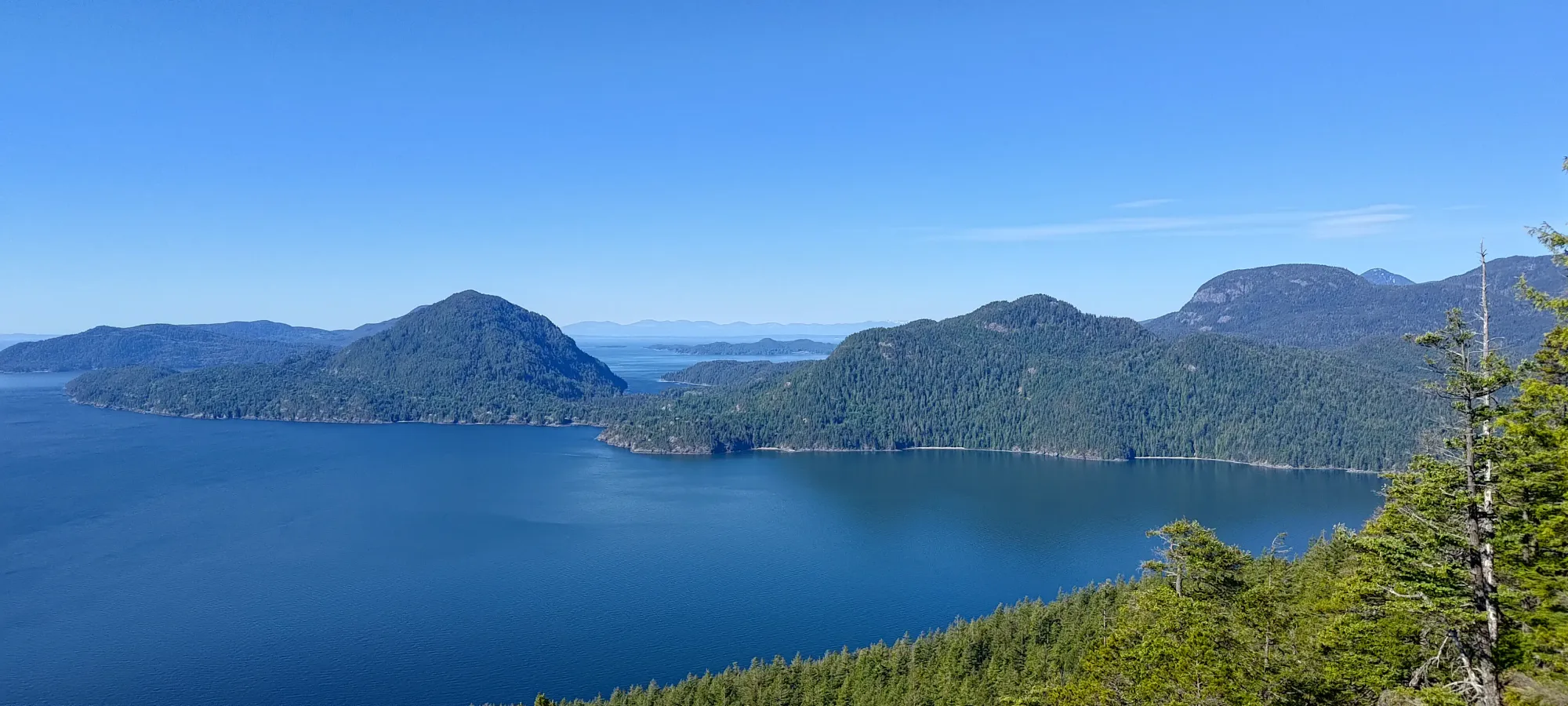
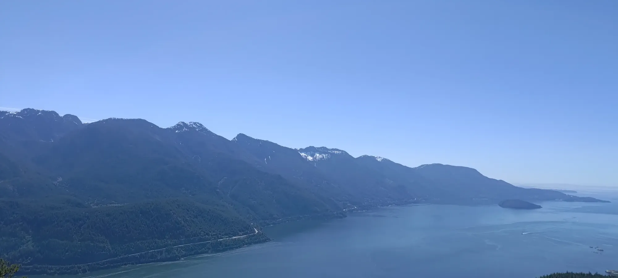
A slightly annoying-to-access peak due to Anvil Island being unserved by BC Ferries, this peak is expensive to get to (unless you own a boat), but offers an easy p600, and awesome views from the middle of Howe Sound


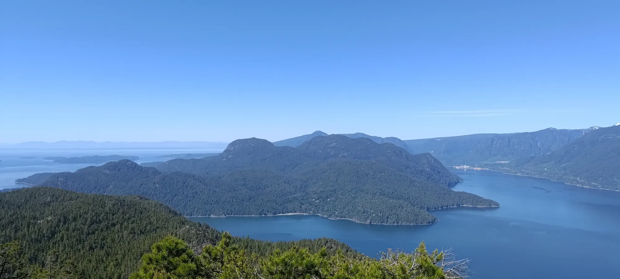
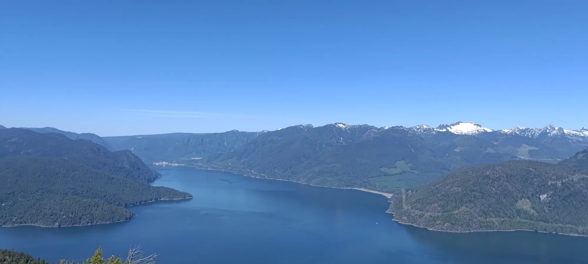
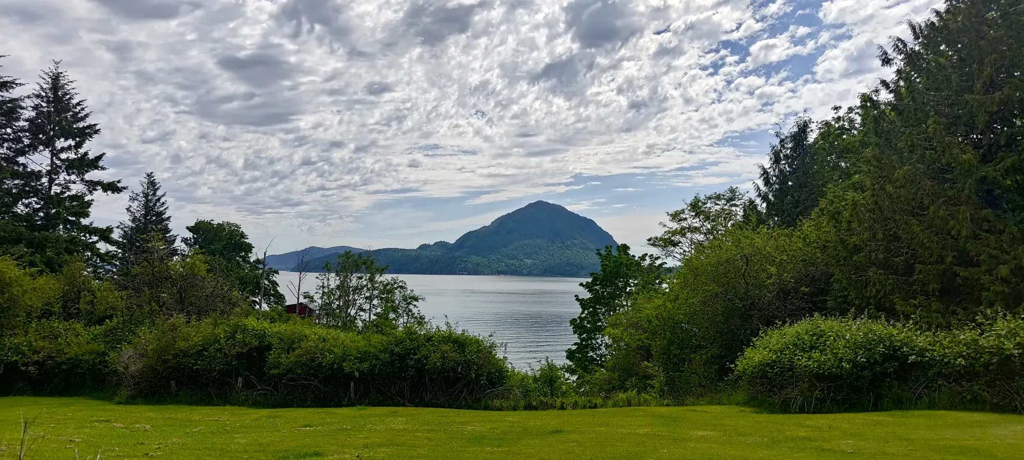
Georgia Strait Islands, Howe Sound, British Columbia
765m
After coming back from Mount Archibald in the Yukon, I was on-call the following week, so I'd taken over a week off of peakbagging. With my body, that means losing conditioning was already about to set it, so when Raphael messaged saying he was throwing together a group for Leading Peak, I knew it was time to join. Leading Peak is the high point of Anvil Island, which is very close to my home in Squamish, but due to the expensive access (for those without boats to try and paddle across Howe Sound), I had to that point avoided. However, with a group being built to share that expense, and the opportunity to get a hike in mid-week to try and stave off my deterioration, I was convinced! I did my best to spread the word to get some more people to join. Kelly was easy to convince, being a fellow prominence-oriented bagger, and we managed to get a few more people from the local peakbagging community in, and by Wednesday morning, we had a solid 6-member party going!
Kelly and I carpooled to Horseshoe Bay, where we abused my dad's house to park for free 🤣, then walked over to meet the group to set off at around 8am in our water taxi. The ride over took around half an hour, I think, and we got on-shore not long after 8:30. We quickly found the bible camp staff, who happily walked us through their ground to the trailhead (though they didn't want us to leave our extra bags anywhere there, so we had to haul them to the trailhead, which was slightly annoying). That allowed us to get walking just before 8:45am (technically I could've tracked from the boat dock, but we had a few minutes of idling before we started really moving, so that felt wrong).
We walked about 500m (tack on a couple hundred extra from the dock) to get to the trailhead after walking along a few dirt roads, at which point the staff member headed back, we dropped our extra bags (we brought some extra gear and food for the extra time we anticipated having, since our return boat was at like 3:30pm, and this isn't a huge hike). So, the real hike started at more like 8:50, at the trailhead proper.
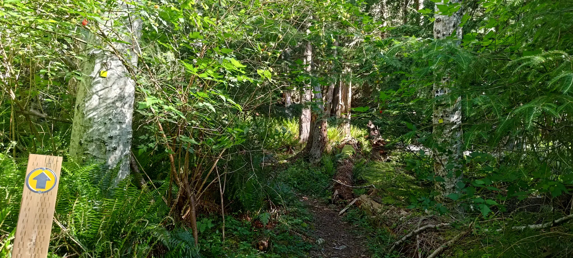
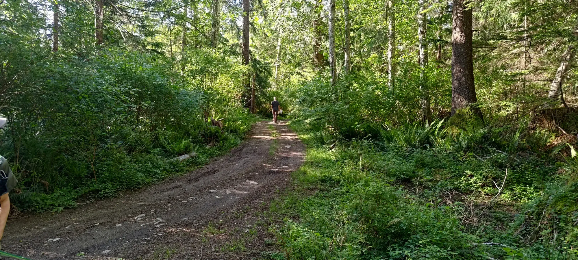
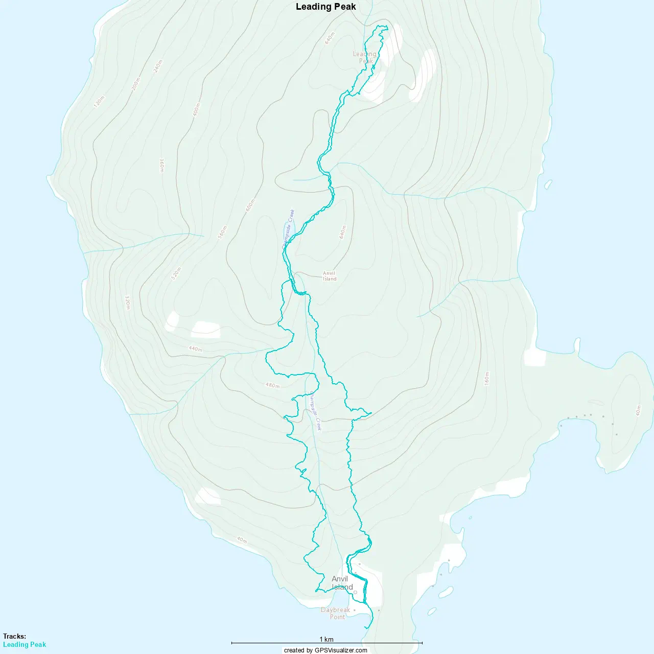
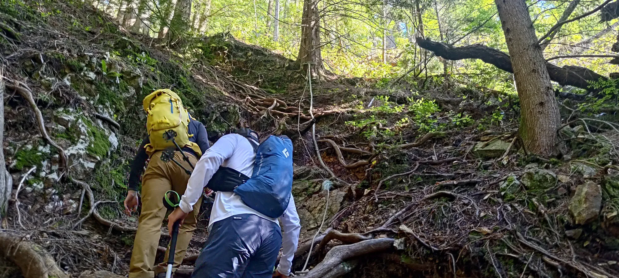
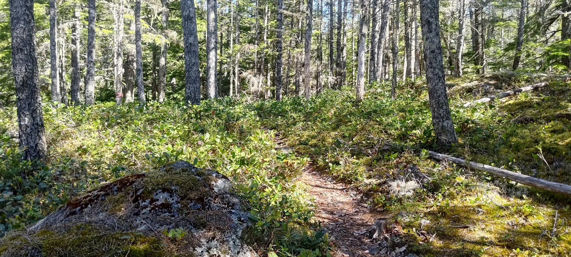
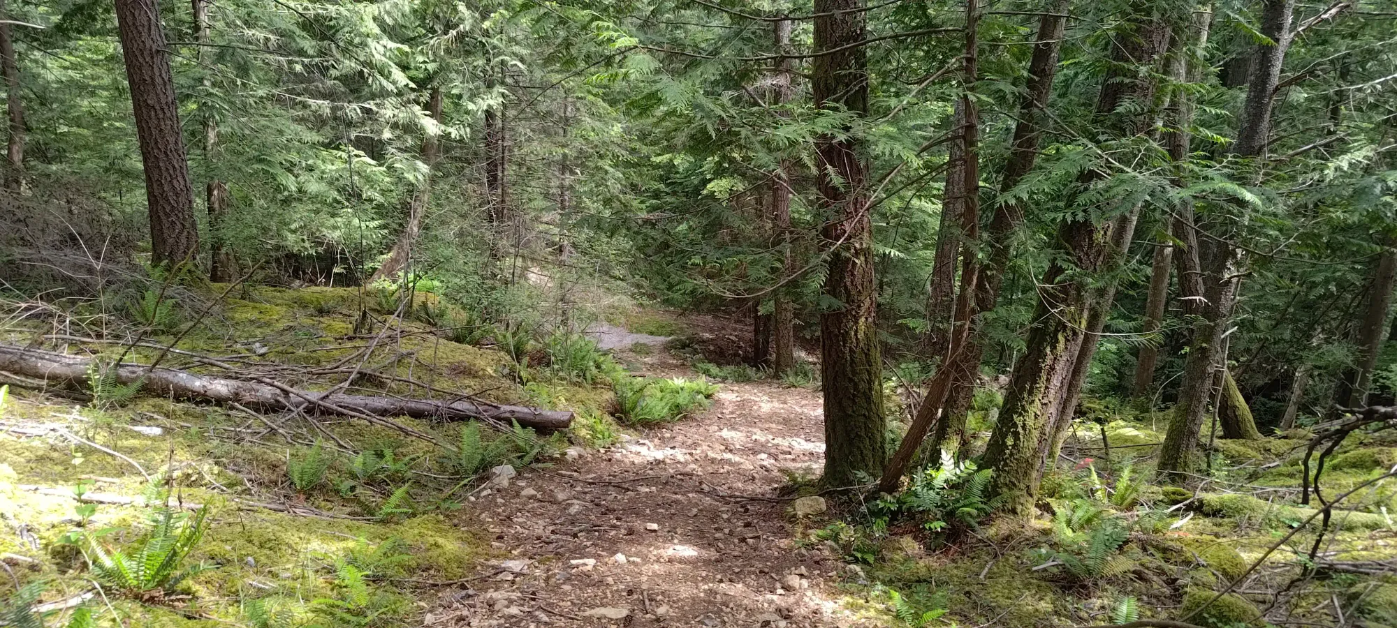
Kelly ended up being at the head of the pack, so of course that meant we got moving at a decent clip from that point 😄. We made pretty quick progress as a result, blasting through the first 350m of elevation (which only took 1km of hiking from the trailhead) in half an hour. The terrain started out easy but quickly got steep, though not technically difficult, with a good trail and plenty of roots and rocks in the appropriate places to keep solid footing, even without using your hands.
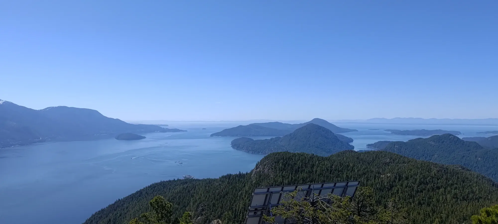
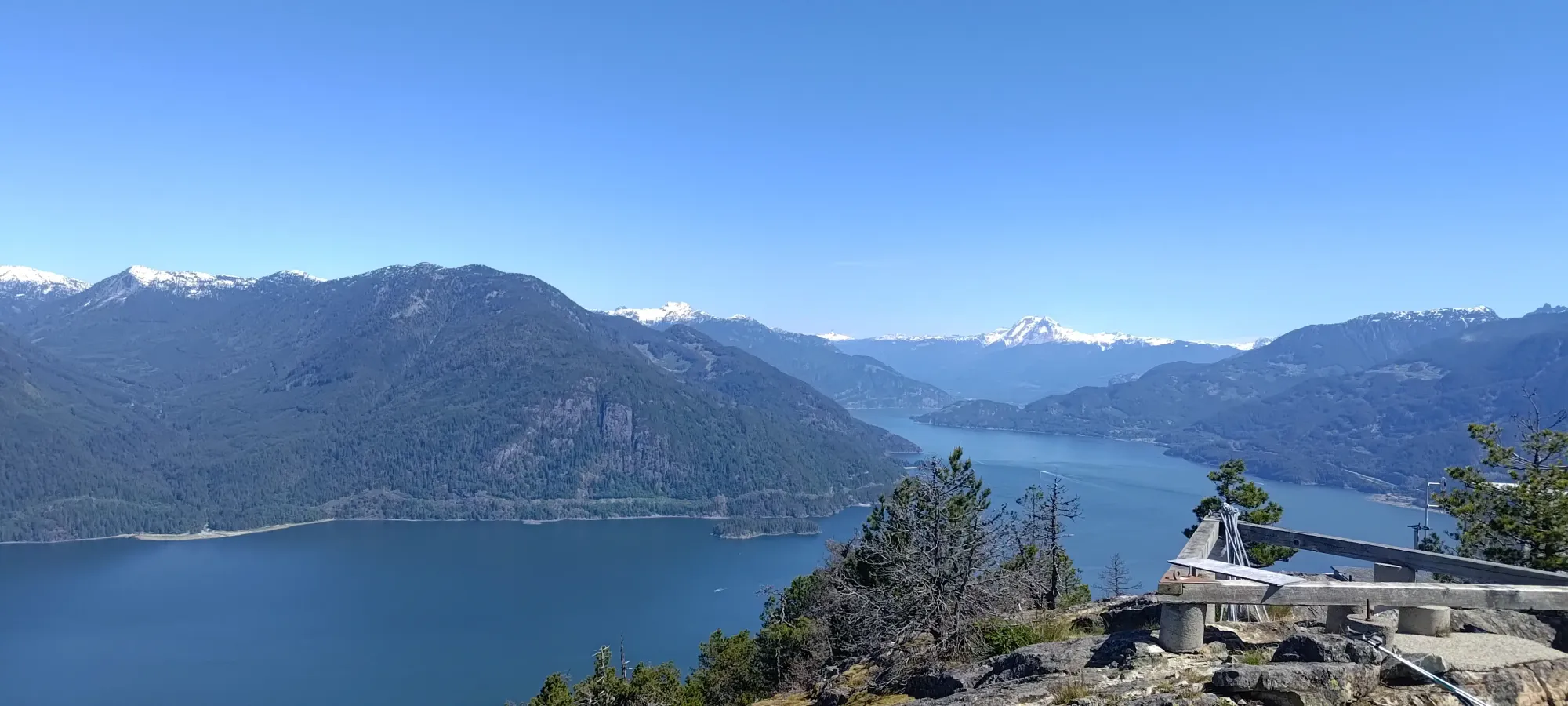
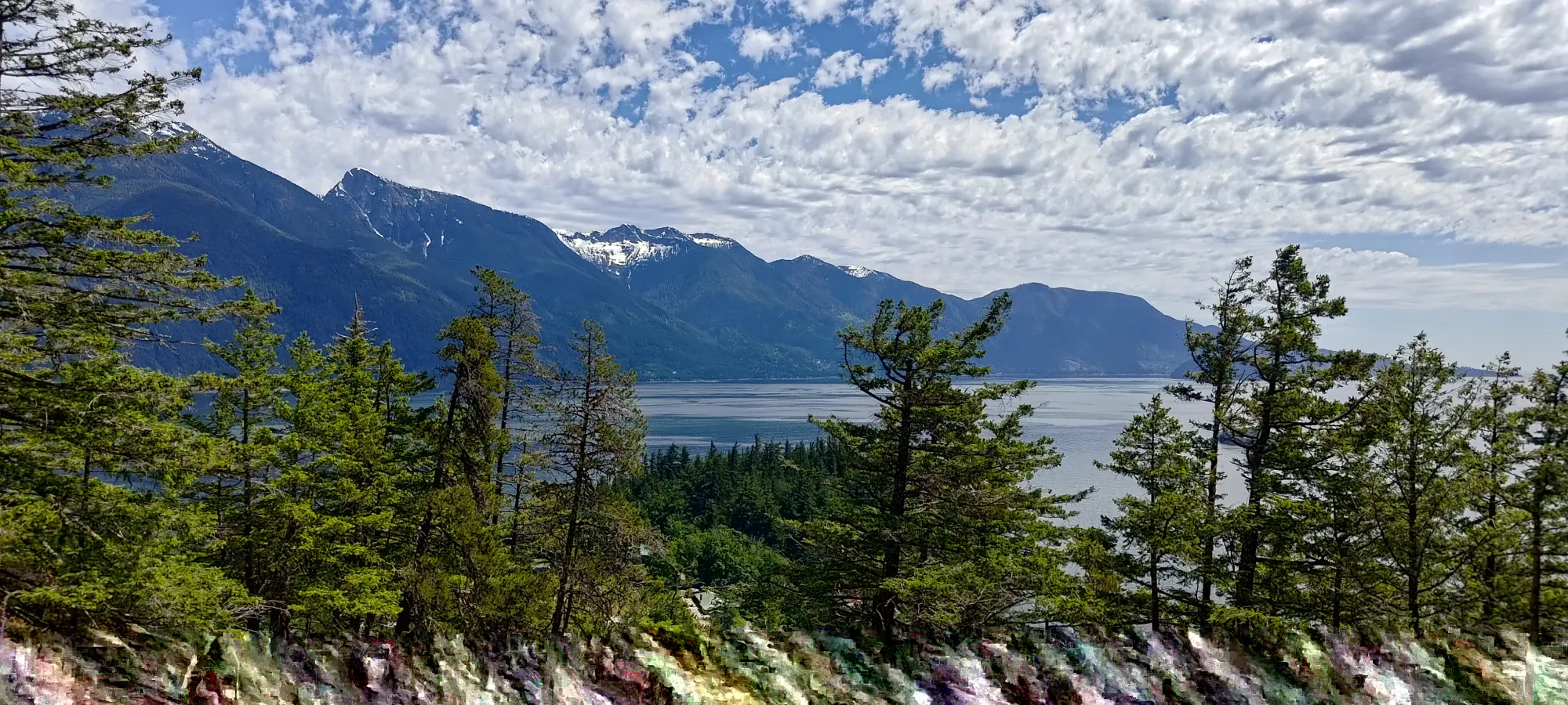
That brought us to the White Spot Viewpoint, which I was disappointed not to find milkshakes and burgers at 😞. We did get a decent view, though, as promised. One could bypass this if uninterested, though, and save a little bit of indirect hiking, as there is a trail that continues straight up instead.
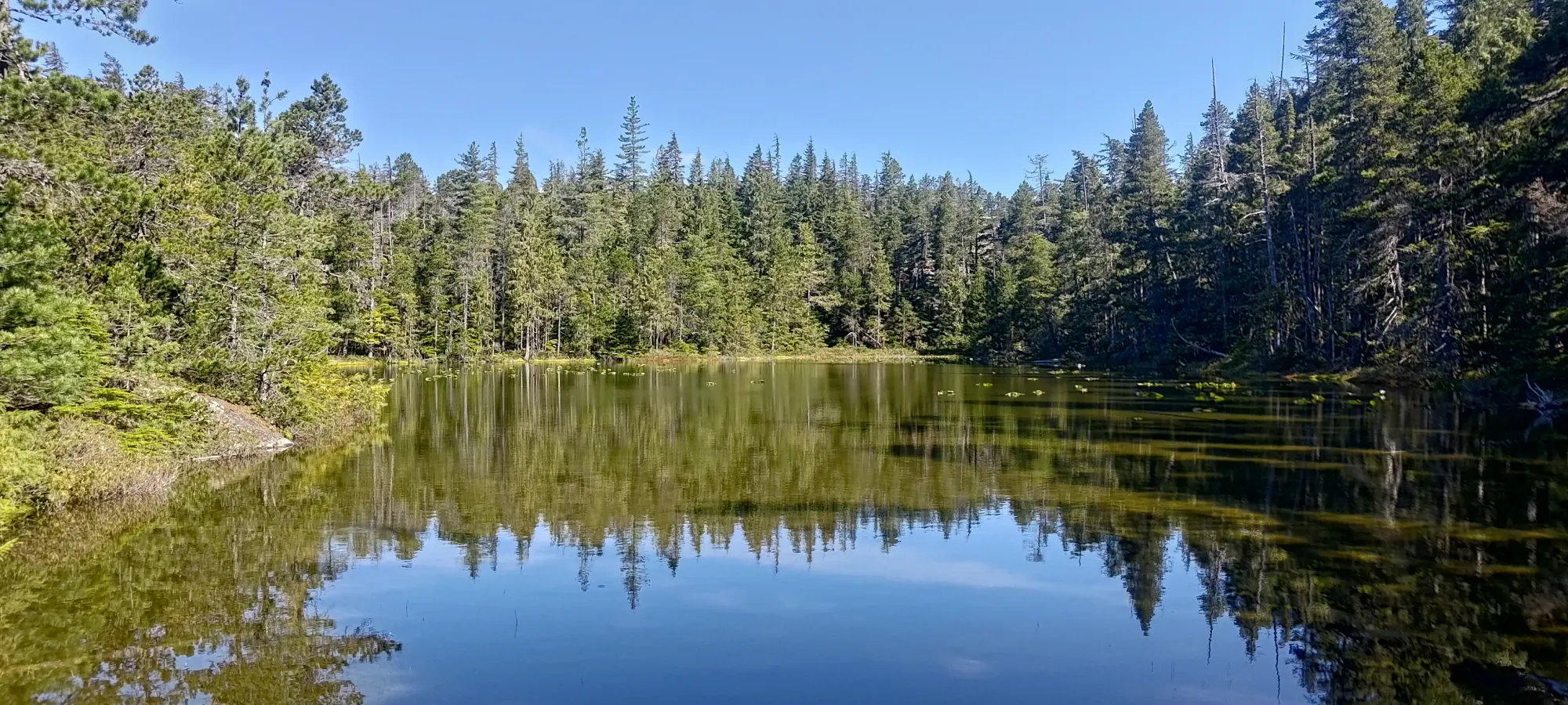
After enjoying the view for a couple minutes, we made our way back to the summit trail, and continued our way up. After another 15 minutes, though, I had to make a pit-stop for a bathroom break (despite the short hike, someone booked us a fairly early ferry, and my digestive system hadn't quite prepared well enough 😅), which allowed the others to get ahead by about 10 minutes. Once I was done, I slapped my earbuds in and got ready to crank out the rest of the hike potentially solo. However, I ran into everyone in a bit over 15 minutes, as they were chilling at the minor high point above Champside Lake waiting for me (thanks!). That brought us to about 90 minutes into the hike, with about 180m of elevation left. Indeed, this is not a huge day (at least from the perspective of "time spent hiking").
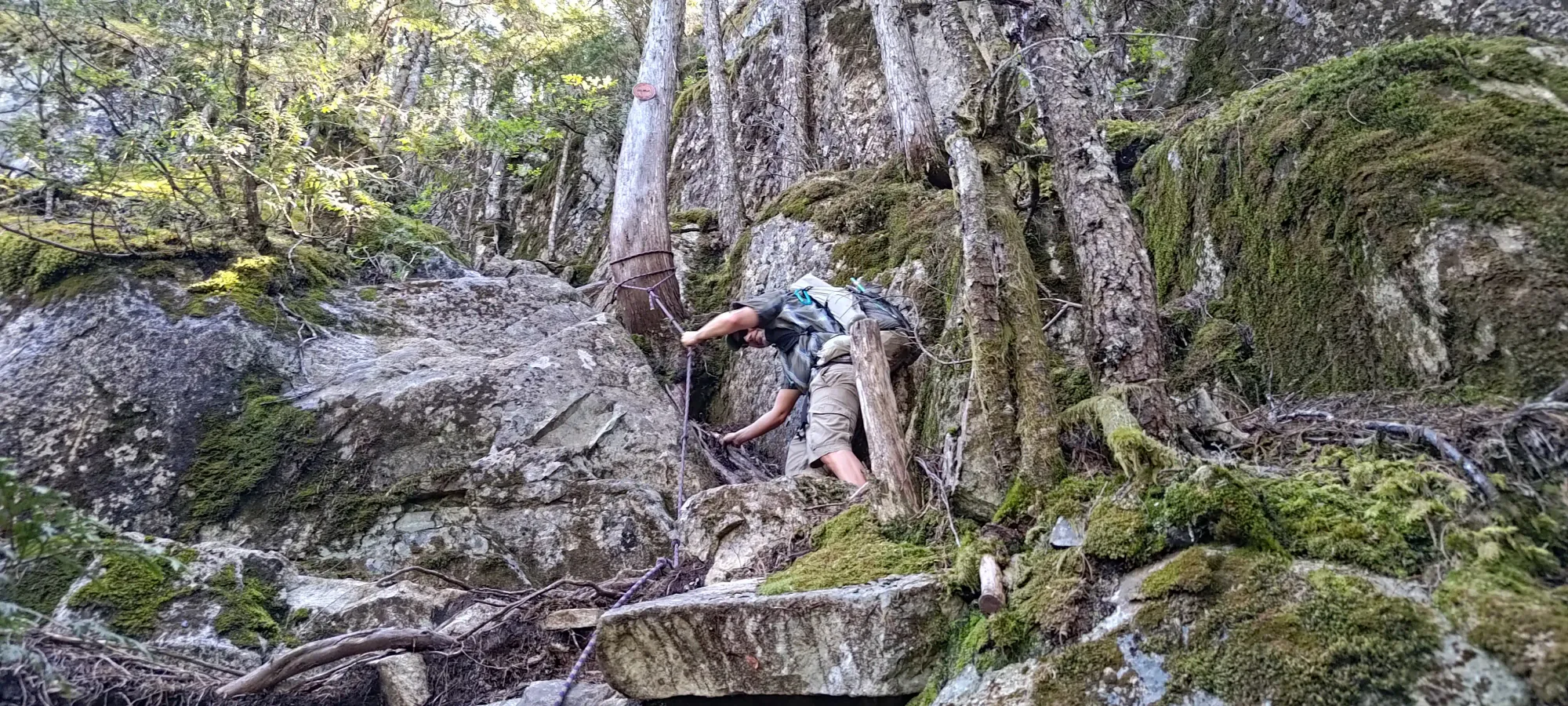
Once we made the short descent to the key col from the false summit to the top, we split into a couple groups. Myself, Kelly, Raphael, and Cameron went to try the scramble route, and Jack+Ian went up the standard trail. I didn't read much about it, but a scramble is generically more fun, and it wasn't like we were short on time, so that seemed like a good time. We had a minor bushwhack for a couple minutes to cut east below the summit, and then popped out into some ledgy terrain with minimal trees, approximately on a sort of southeast ridge, with a drop on the west side, and a steep but sometimes-climbable face on the east. Then, we started our way up.
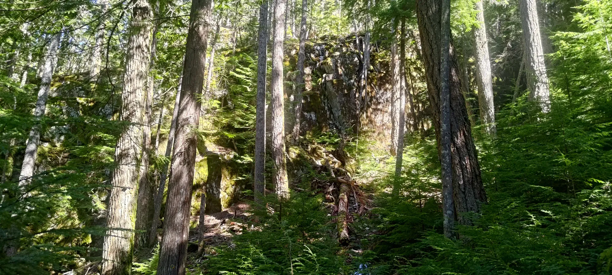
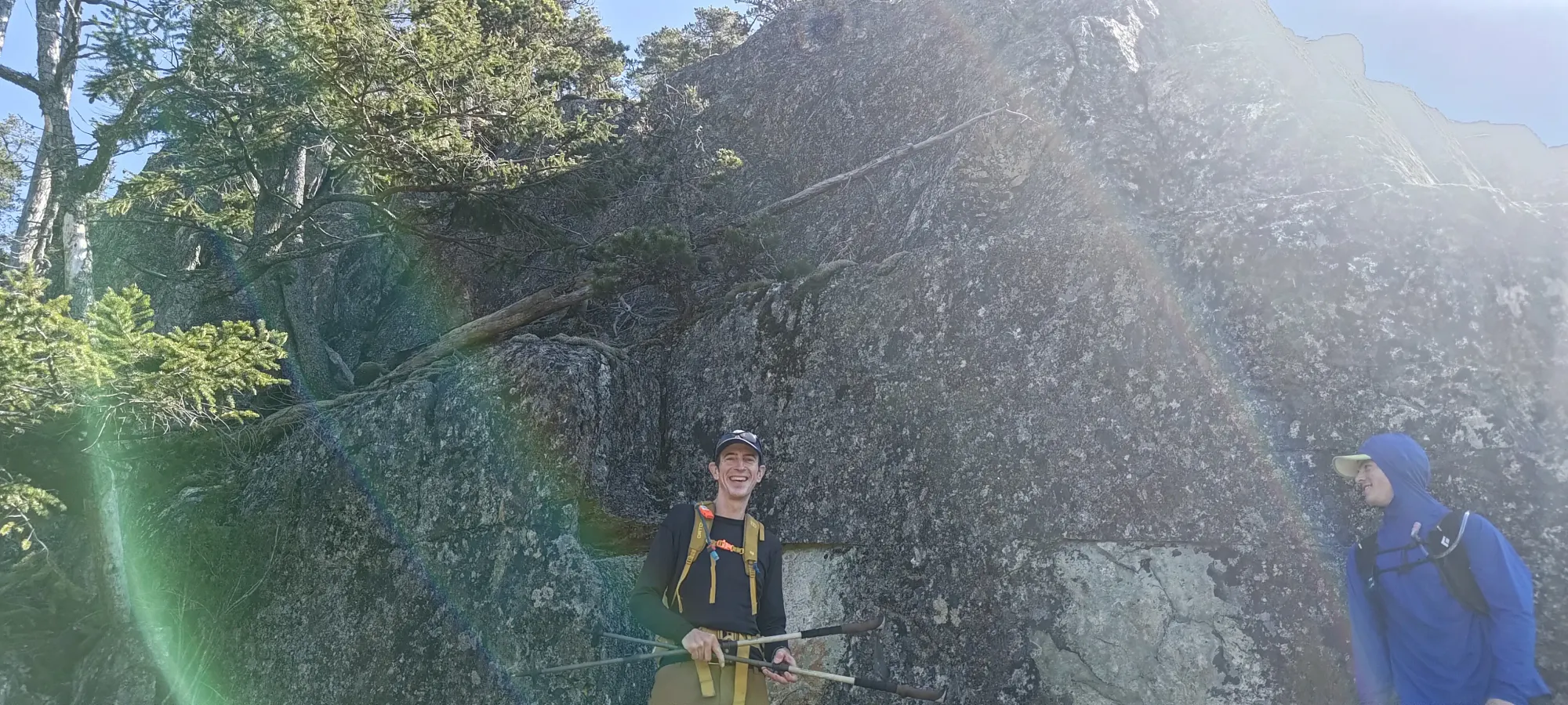
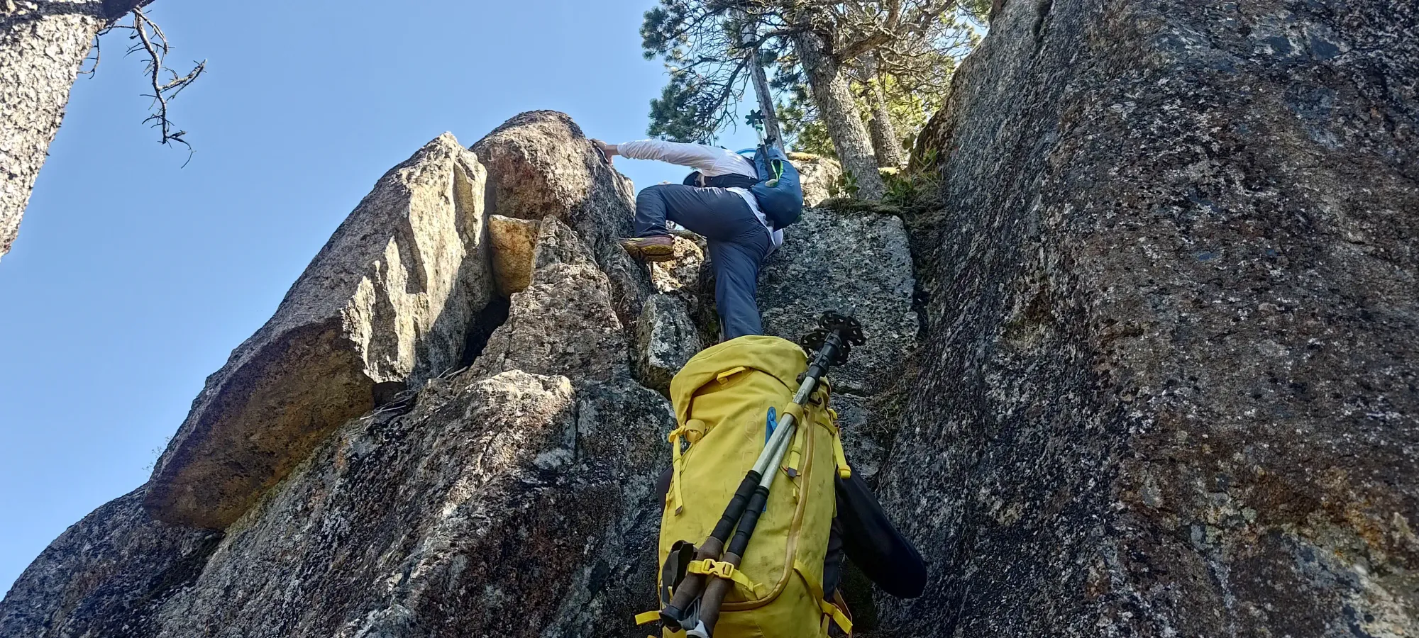
The first moves were pretty easy, with very grippy rock and safe ledges through the terrain, we were able to make good progress. There was one point after the first set of ledges where the terrain flattened, and Cameron led us up a somewhat exposed traverse, where Kelly decided to head more east and whack up the forest to get back into the easier terrain above. Whichever you might prefer, "there are options".
After that, we reached another point with an easy and hard way up. This time, Raphael and Kelly took the ridge direct route, which was easy scrambling. Cameron went over onto the face and made his way up there, which looked fun. I tried to follow, and got up to a crux where a solid knee-bar was the move I needed to make it, but sadly, with my knee still scraped up from Archibald, I couldn't do that without re-opening my cuts, so I had to make a shameful retreat 😞.
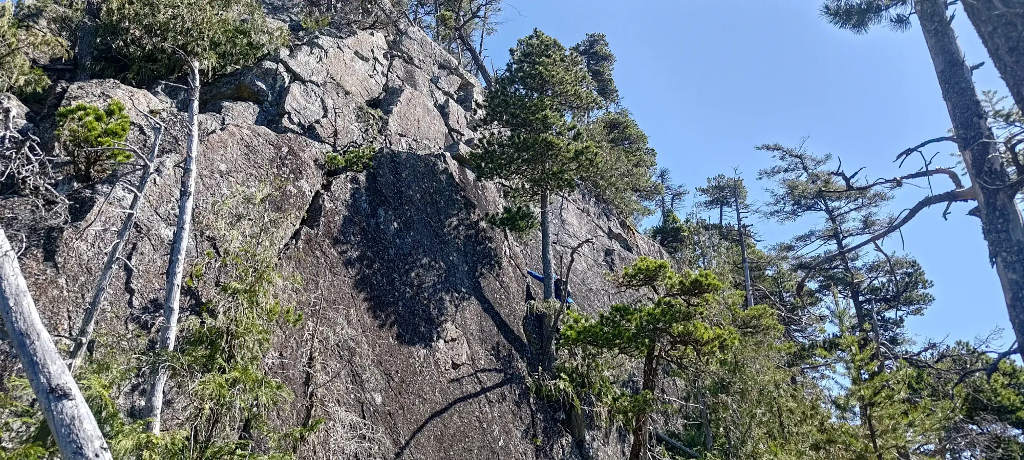
The scramble from there was always class 3 or easier, but I made my way onto the face to climber's right (east) wherever I could to spice things up, as it generally did so until the very top. All in all, the scramble took around half an hour, though one could shorten this by just going the easiest way up and not faffing about. Still, we got the summit in under 2.5 hours, and that's pretty chill by peakbagging standards!
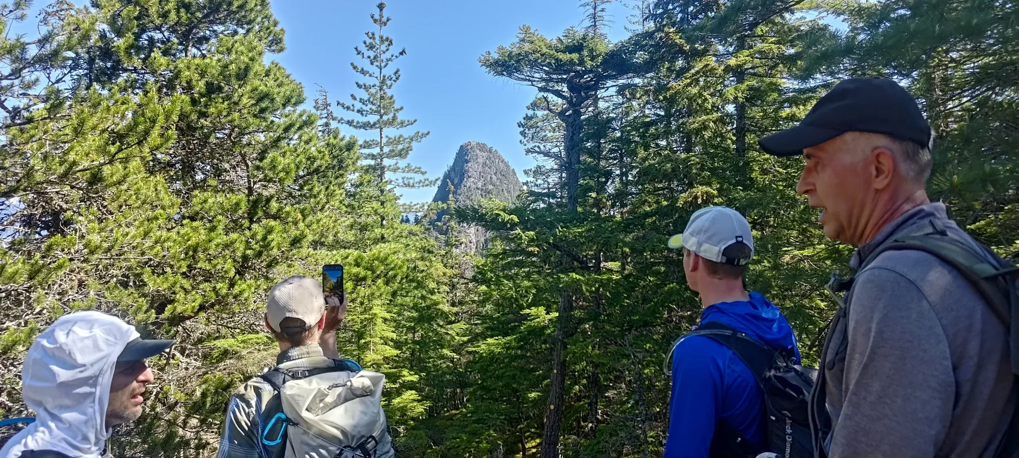
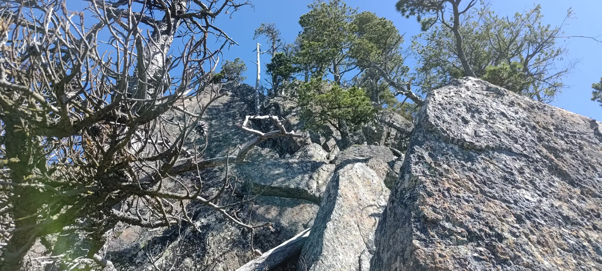
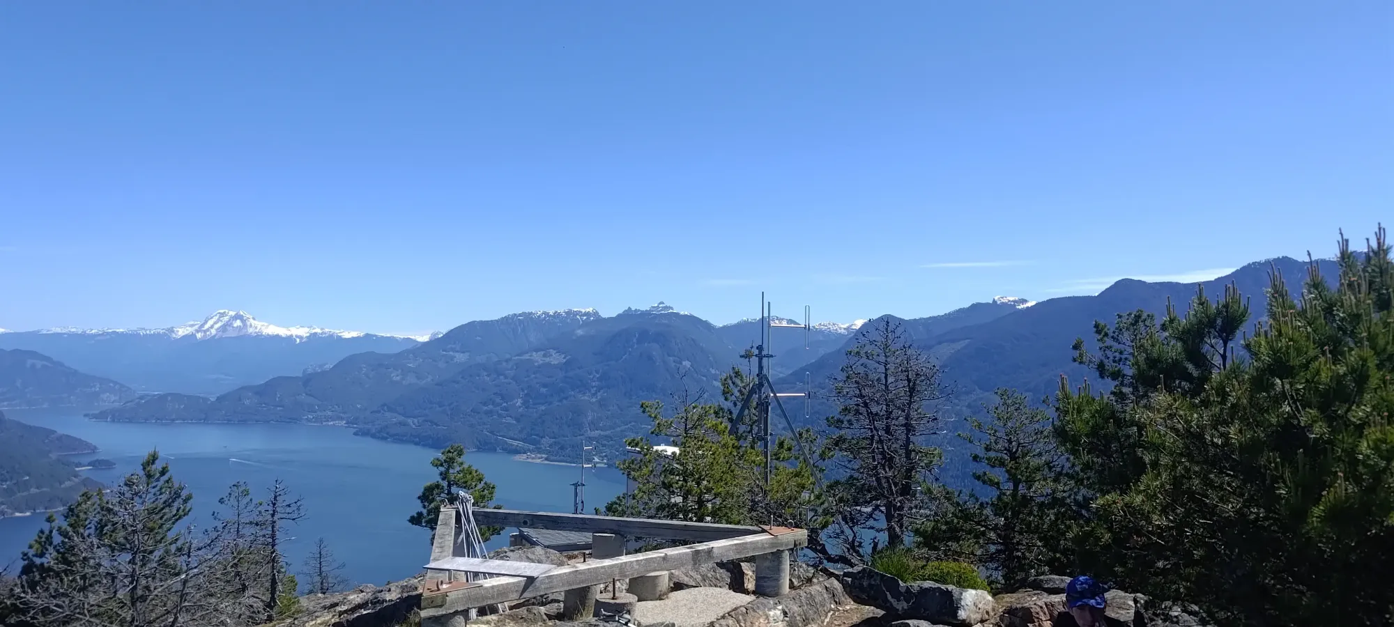
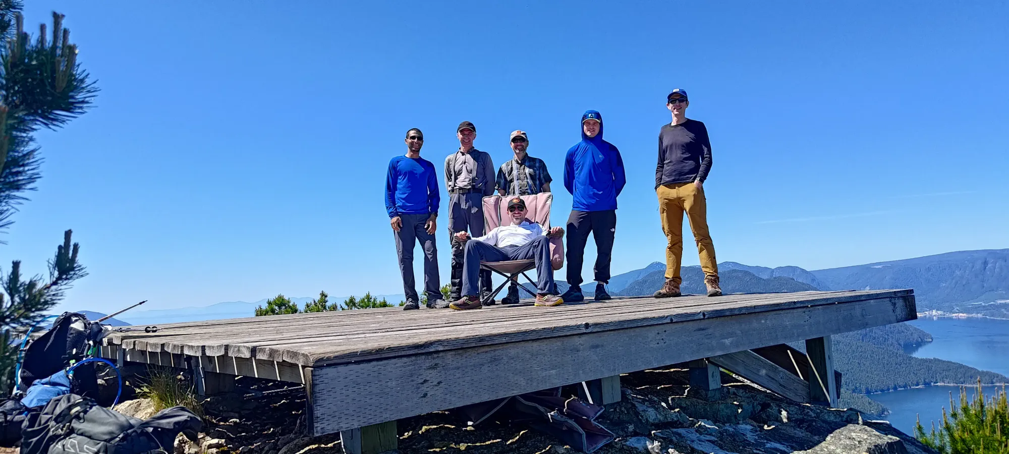
On the summit, we found a pretty sweet setup. There's a helipad that makes for a comfortable place to relax, which even had a couple lawn chairs to fully unwind in! There is also a cooler up there, which I was very sad to see not equipped with some cold beverages for our drinking pleasure, but instead some blankets for people stranded in the cold, I assume. Someone also installed a solar panel supplying power for... something. We also found the summit register complete with a bottle of scotch, which a few of us had a few sips of as well (thanks to whoever donated that).
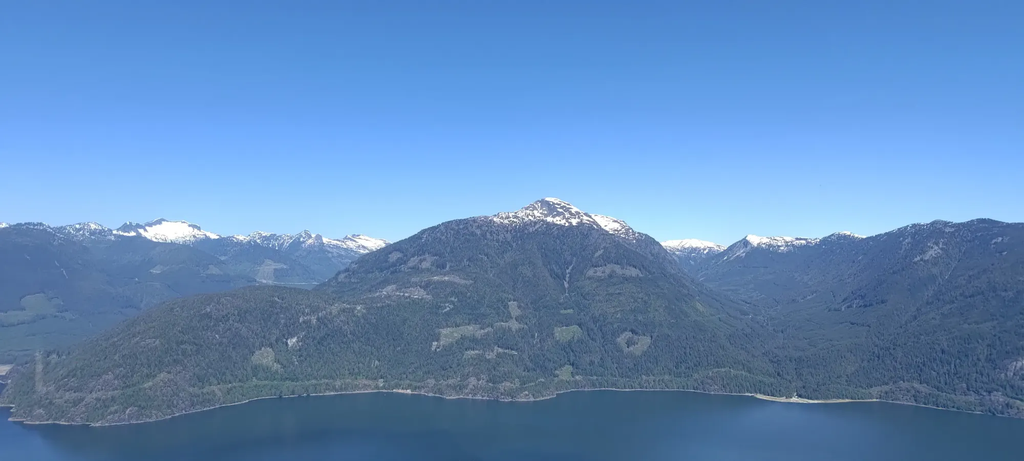
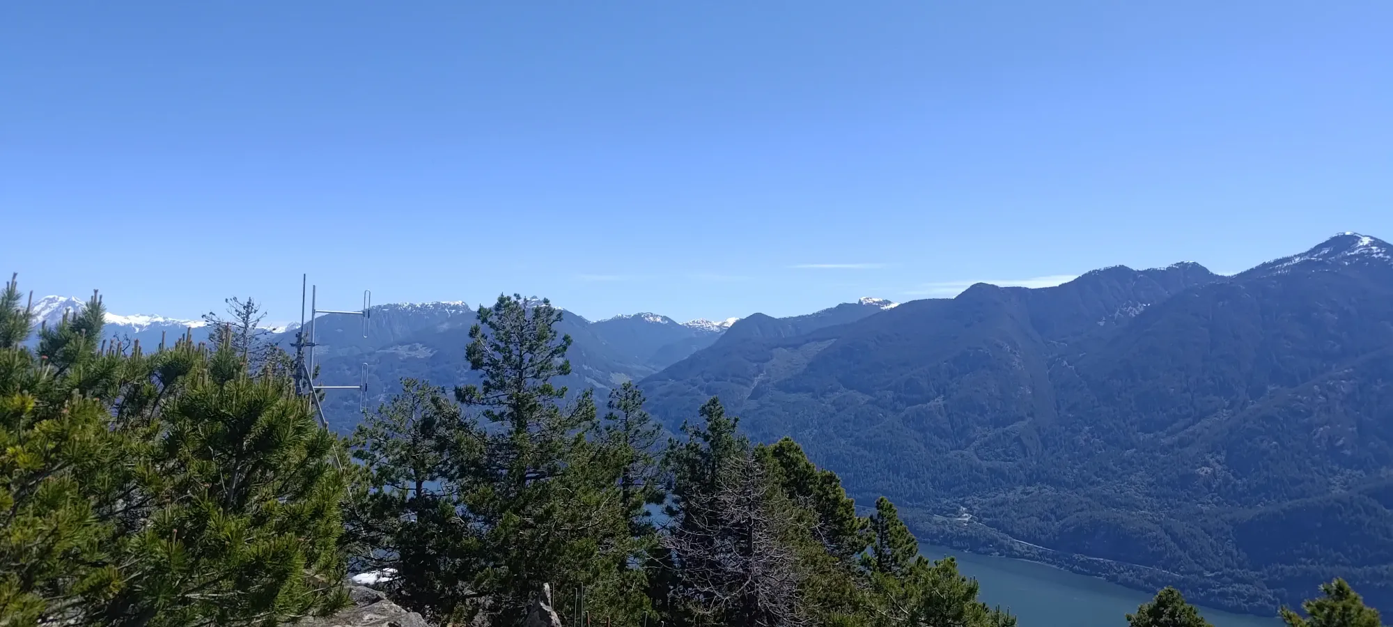
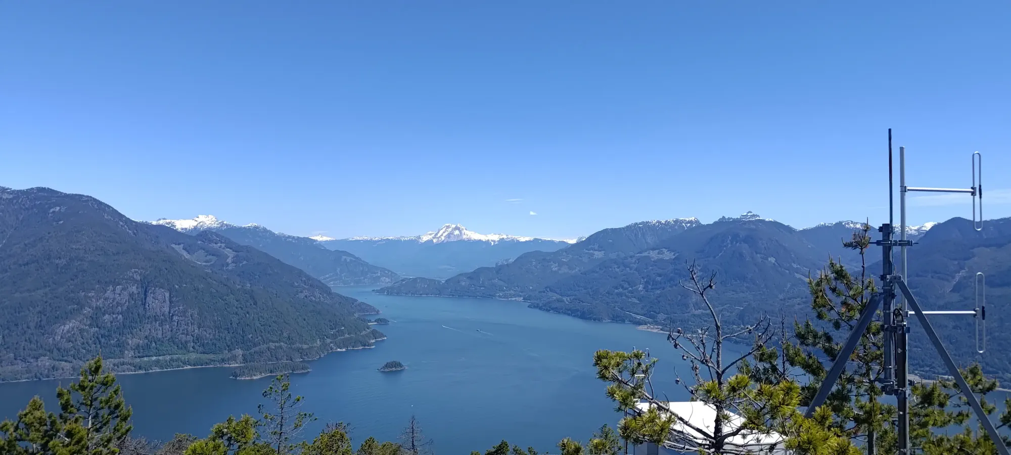
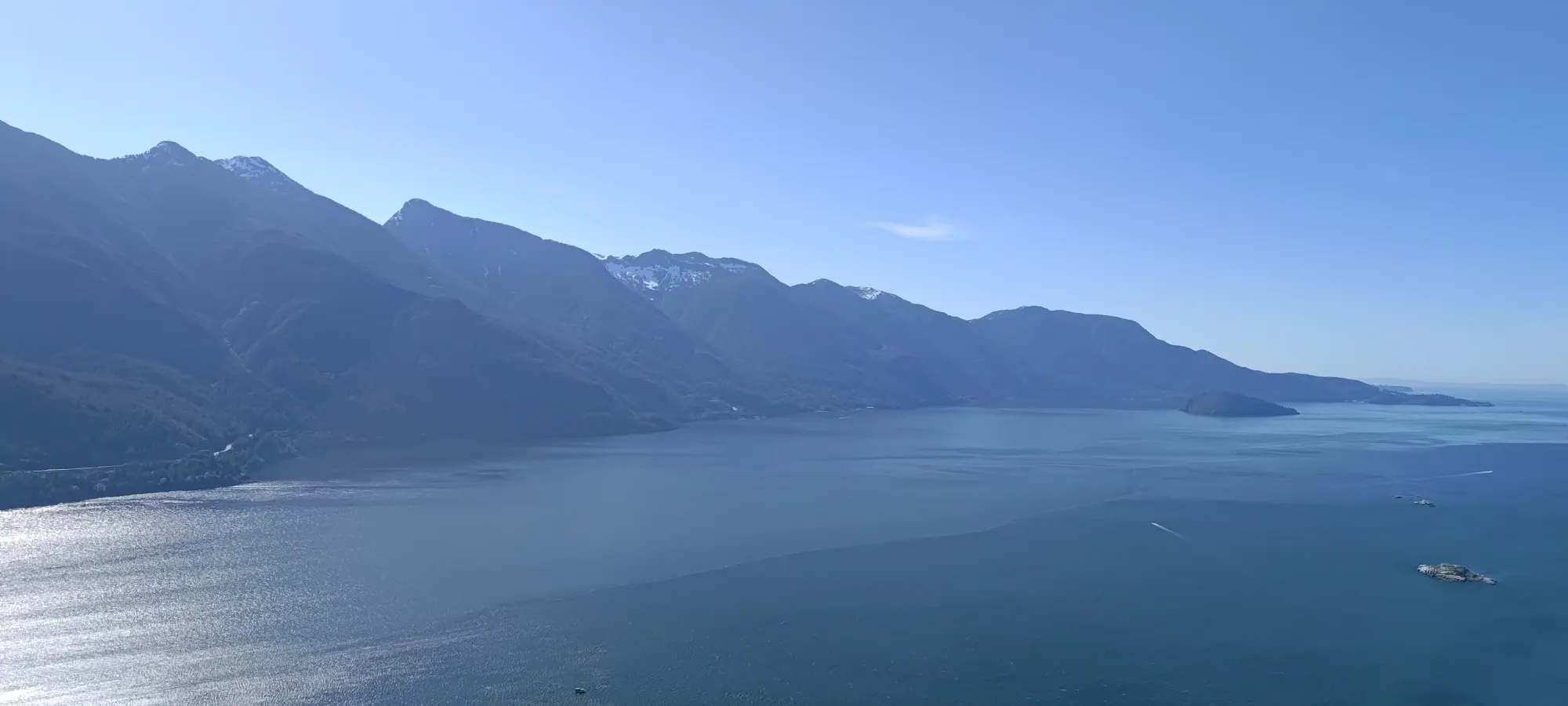
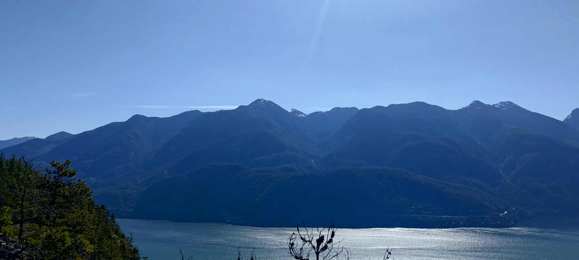
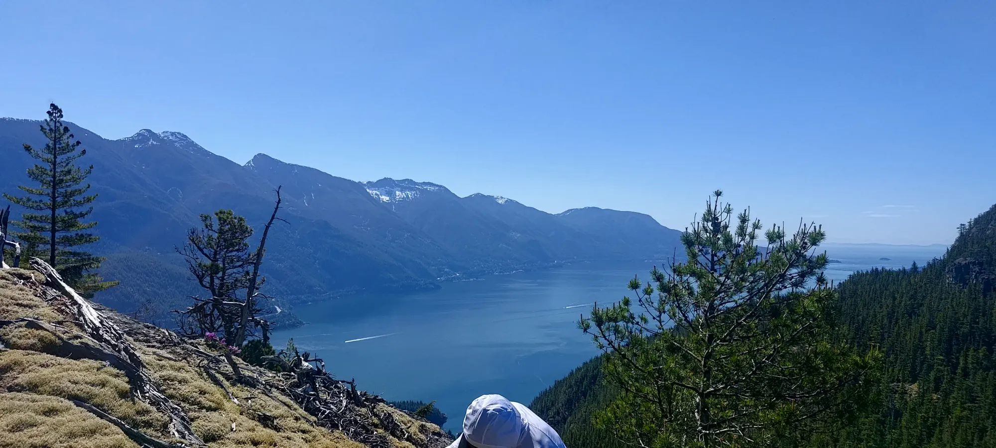
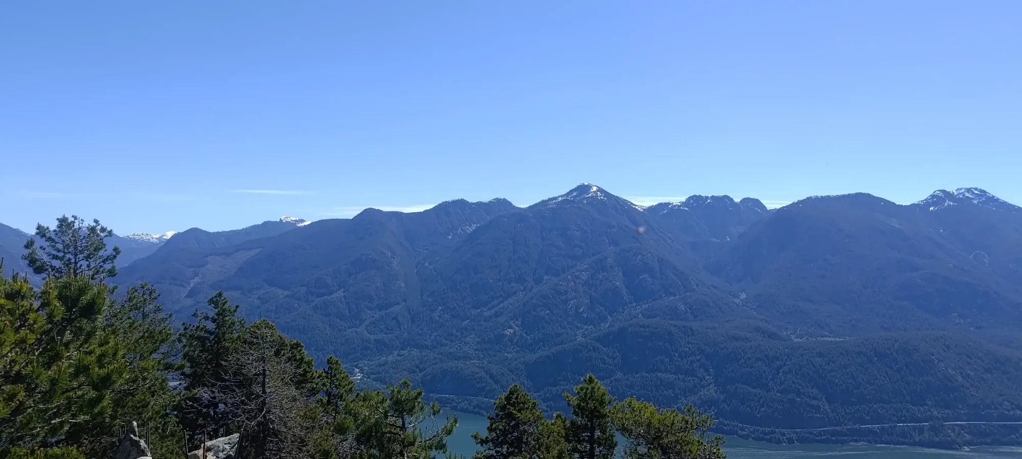
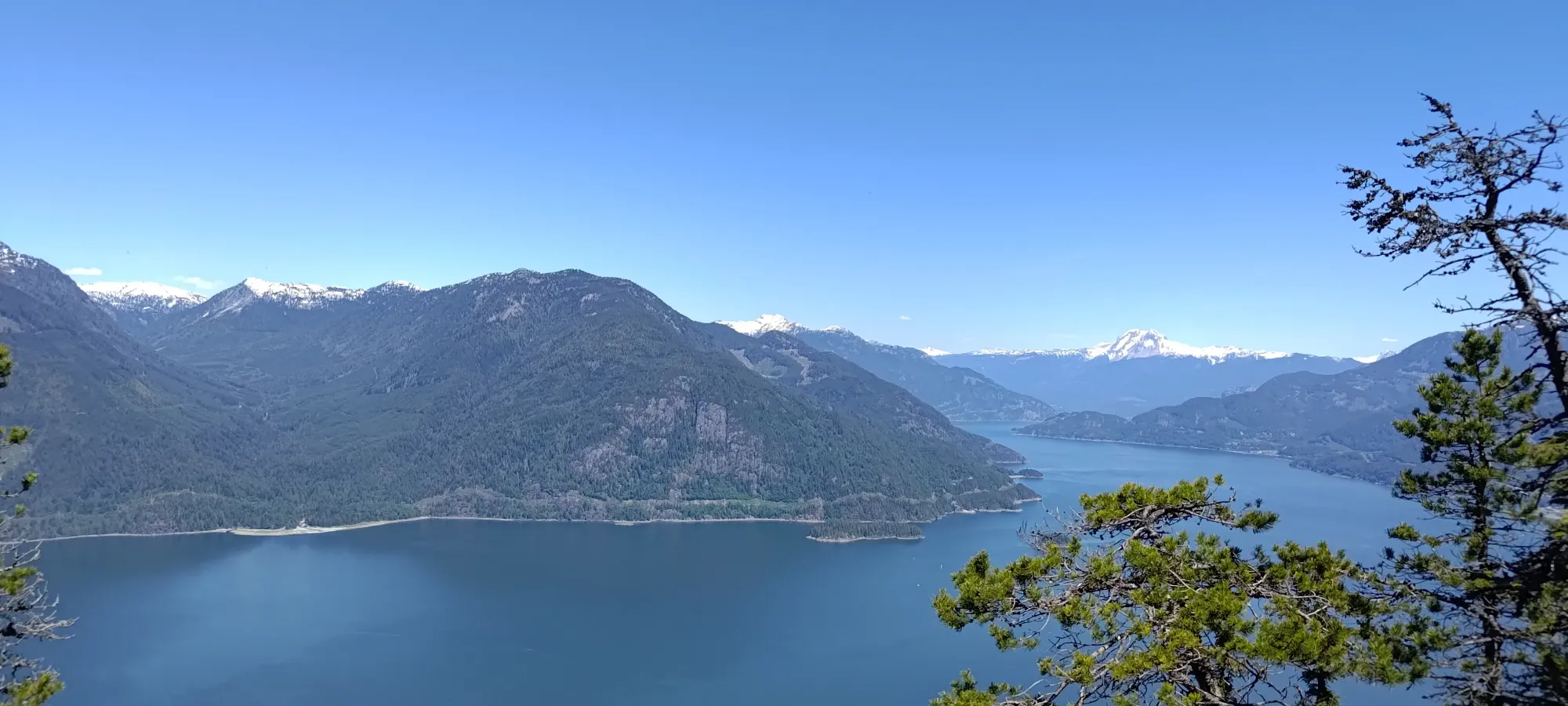
Zoomed-in shots of the Garibaldi and Sky Pilot groups
We killed time for a bit over an hour on the summit, until we eventually got bored of sitting around there, and decided to descend, and sit around at the bottom instead. A couple of us actually brought swimming stuff to hop into the water if we were so inclined (it was a hot day, so that would be pretty nice if we did, honestly), so there was at least something to do if we got back to our stuff. So, we got moving a bit after 12:15, or a bit more than 3.5 hours into the day. Except for Kelly, he had a call to take, so he stayed back to take that with good cell coverage ensured 😄.
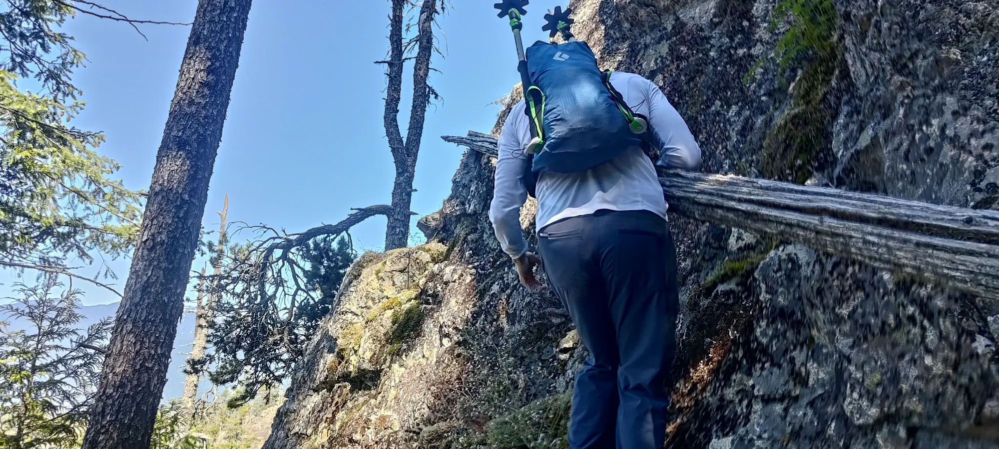
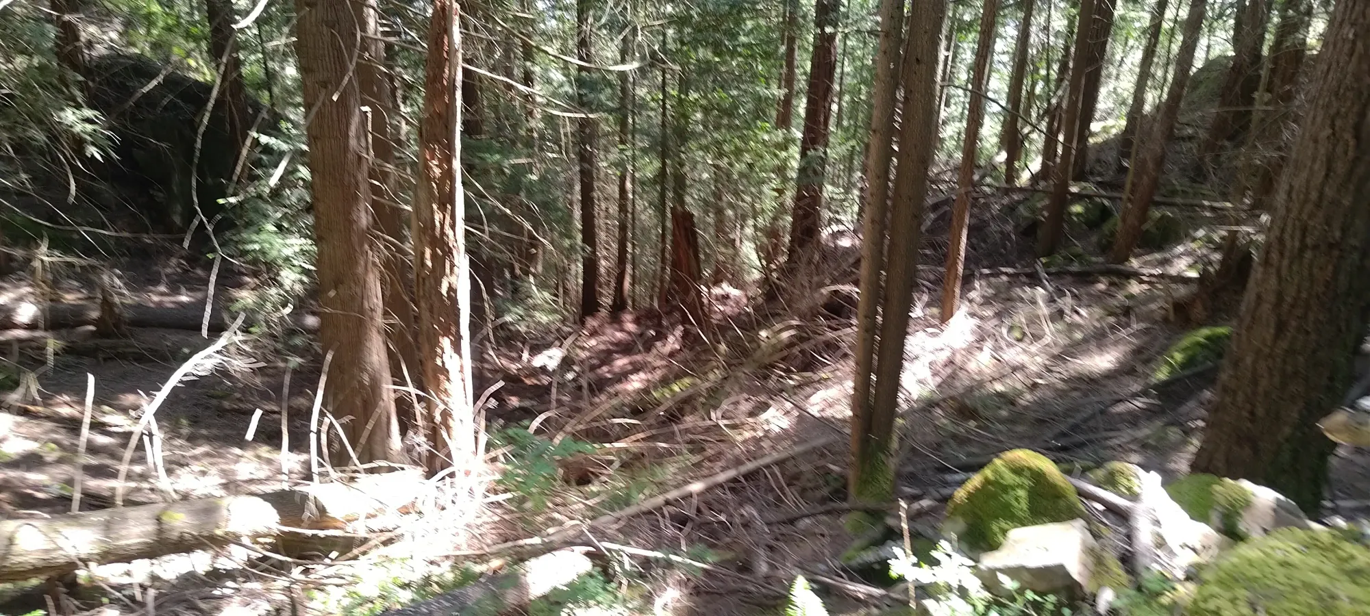
On the way down, we decided to take the trail, since downclimbing isn't nearly as fun as climbing up, and it existed, so why not. We quickly split up into a couple groups, with Ian+myself ending up together, and everyone else (minus Kelly) in another. Since Ian had heard some beta as per this book that the Nighthawk Trail was, and I quote, "a spectacular descent", we decided to split off from the main trail (after overshooting that fork and backtracking uphill for a couple dozen bonus metres of elevation).
I cannot express the degree to which I disagree with that claim 😅. To be clear, it isn't like this trail is an alder-filled, bushwhacking nightmare. It is still a trail, for the most part. However, it is faint in many places, the bed surface is far from well-trodden enough to be as smooth as the Leading Peak trail, it has far more undulation, you do still have to brush bushes/branches aside in a good few places, and it just made for really inefficient travel. This resulted in us making a few navigational errors (small, but extant), and generally moving slow enough that it took a solid hour to get from 600m to ~150m, despite that being only 2.5km of travel 😅. That was where we met up with Champside Creek, which I guess is a seasonal creek that shows up when there's snowpack melt or rainfall draining. That terrain actually looked easier/faster than the trail, so we both agreed to just ditch it and head down, after an hour of feeling like we barely made progress.
That turned out to be a great decision, as we cranked out the final descent at a much better pace, and reached the shore in about 20 minutes, including stopping to check the navigation as we rejoined the trail, and left it again on some old forest roads near the bottom. Apparently we should've taken a different, higher road that led back to the main camp area, but we instead went right down to the shore. We did get to see some new stuff, at least, and weren't pressed for time, so it wasn't a big deal.
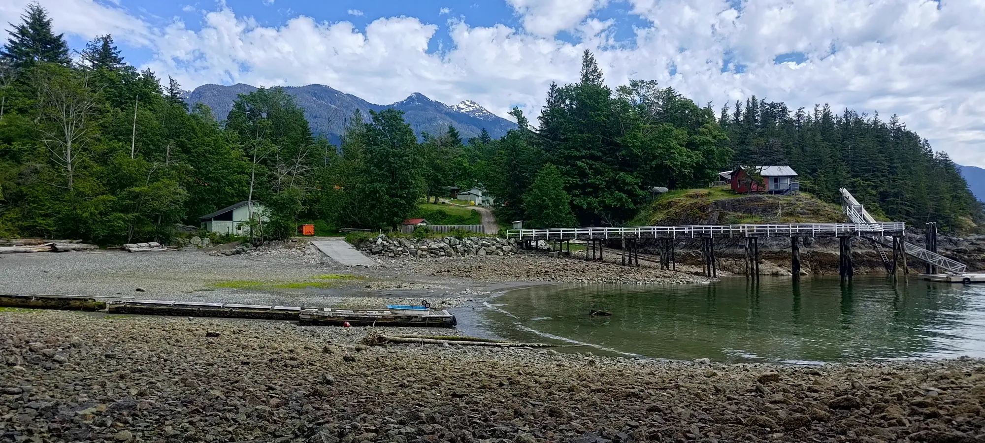
Of course, once we got there, I remembered that I left my extra stuff at the other trailhead, 65m higher and on another network of roads, so I had to make one more trip back up through the camp to retrieve that... By the end of the day, I'd tracked over 1000m of gain on what was supposed to be a trivially easy day 🙃. Oh well, at least I got some exercise in. We hung around on the dock as a full party for a while before the boat arrived (of course, at a different dock than where we were dropped off, so we had one little bit of extra hiking before the day was truly done 😅), though we didn't end up swimming, as the clouds were a bit too prevalent at that point to justify it.
The ride home was pretty fun on the water taxi, we managed to even get a little air on the waves as the captain motored us back to shore 😄. Once we docked, Kelly and I said goodbye to the others, got a ride back to my dad's place (thanks dad), and I then parted ways with Kelly, who had to get home to his family, while I hung around with my dad for a while and got some work done before heading home in the evening.
Overall, it was a pretty good day. A bit spendy for the water taxi, but sometimes you gotta eat it if you don't have the tools yourself, so I was glad to share that with as many people as we did, at least (and the company was good). Most of all, I am happy to have knocked out a peak I see multiple times a week driving up/down the Sea to Sky. Onto the next one!
GPX Track + Map