Lassen Peak - April 9 2025
A classic ski touring peak, though done in a less common way from Manzanita Lake before the road beyond is open I would highly recommend this route, ideally in full winter. Digestible distance/elevation, skiing summit-to-car, and probably great snow

Lassen Peak Area, Manzanita Lake, California
3187m
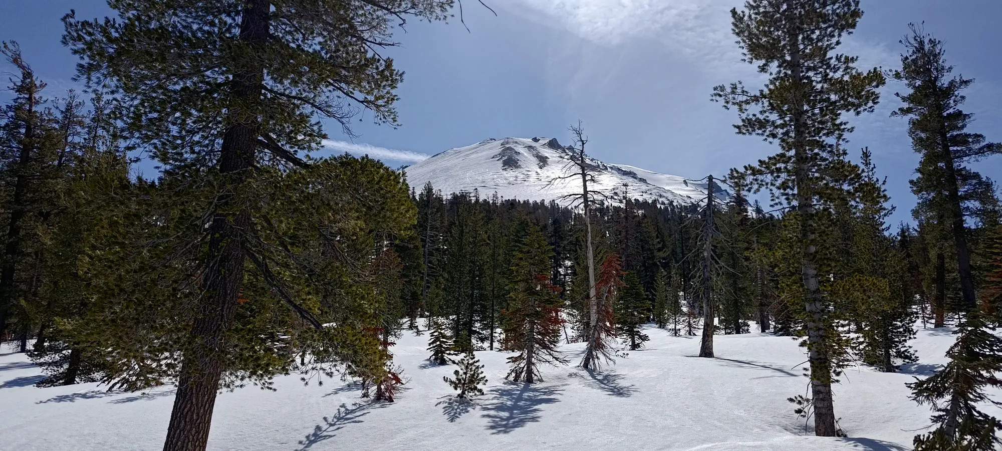
After bagging North Schell Peak on the weekend, Eric and I headed back to Tahoe for a little rest and to get some work done, and to wait out a weather window for the last peak of the trip, Lassen. The Wednesday seemed to have the most tolerable winds for the week, so we headed out to Redding on Tuesday evening, crashed at a cheap motel, then headed out in the morning. Our planned route was on the NW aspect of the mountain, which gave us plenty of time to get up before the powerful sun could do its damage, but we didn't want to wait too long given how impactful it had demonstrated itself to be over the last week.
We rolled in to Manzanita Lake at around 8:30am, geared up, and started hiking at 8:37. I had originally dreamed this route up for true winter, as the road gets plowed to this point all year, and it would offer the opportunity to ski cold powder to the car, but we wanted another peak on the way home, and others were too windy or otherwise not feasible, so I figured it should still be snowy enough to be fun, and hopefully at least still be decent corn, so we just went for it. At least the snow would be settled and stable, if nothing else.
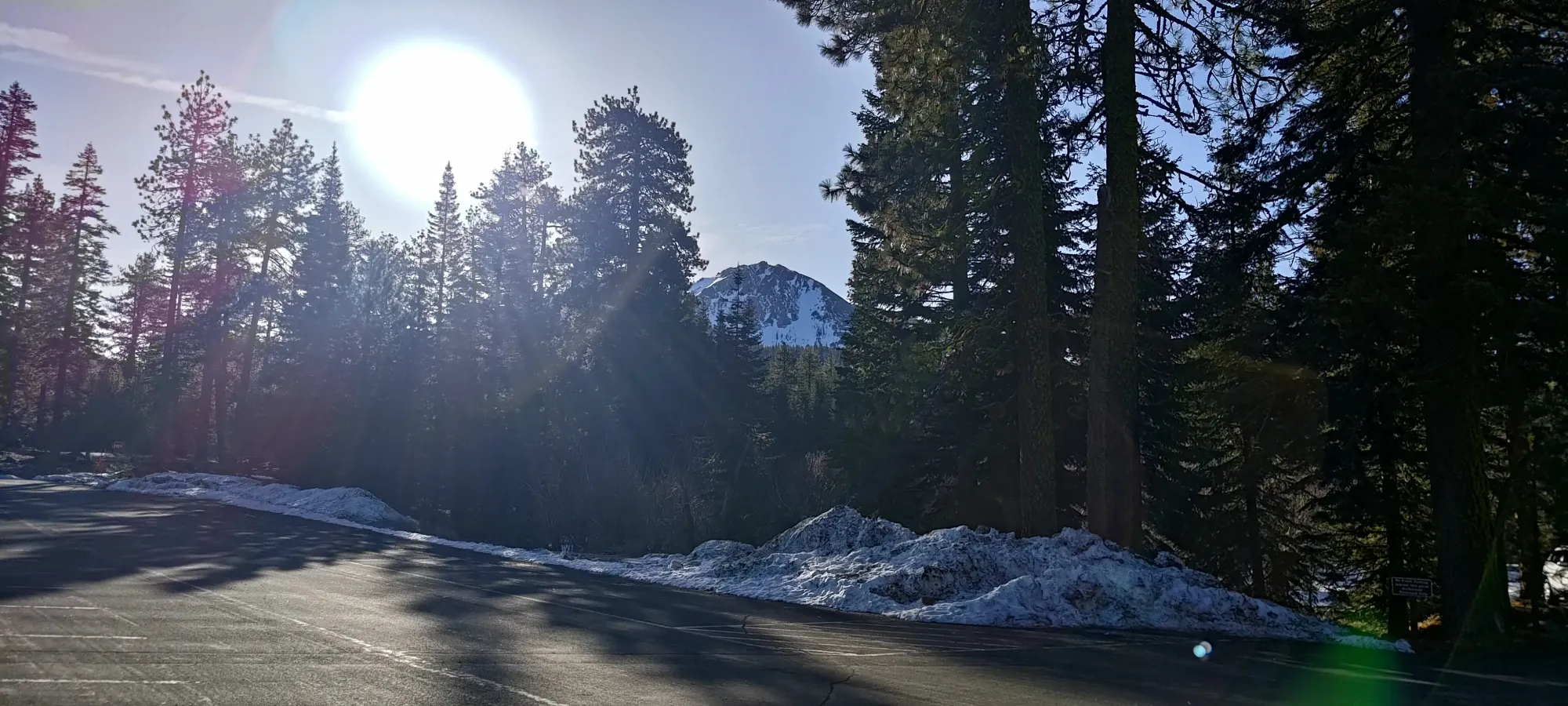
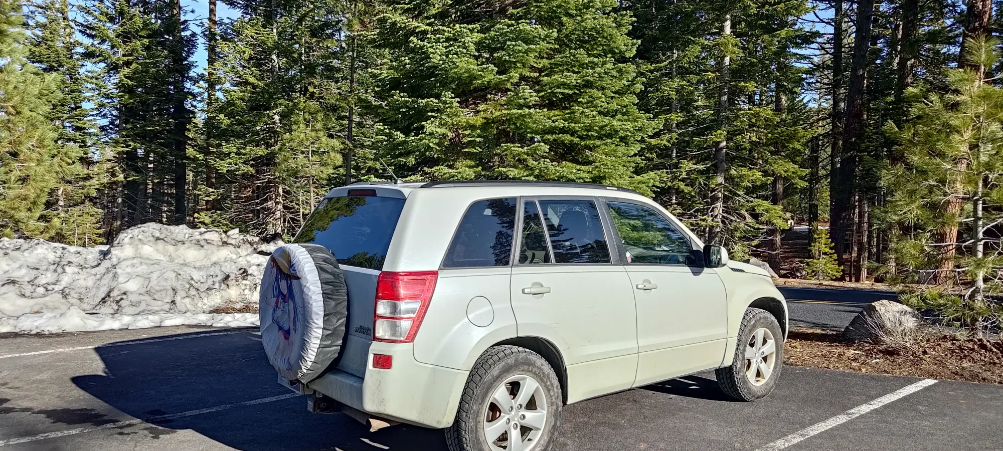
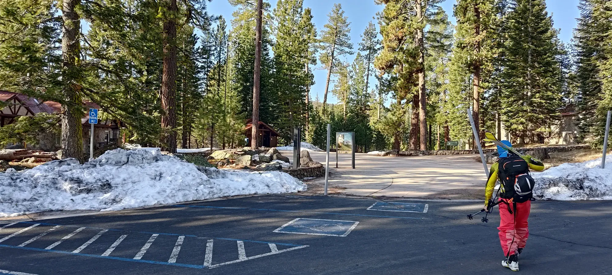
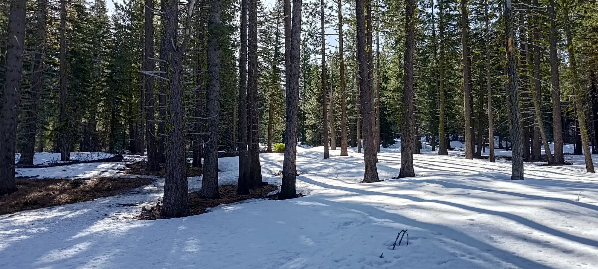
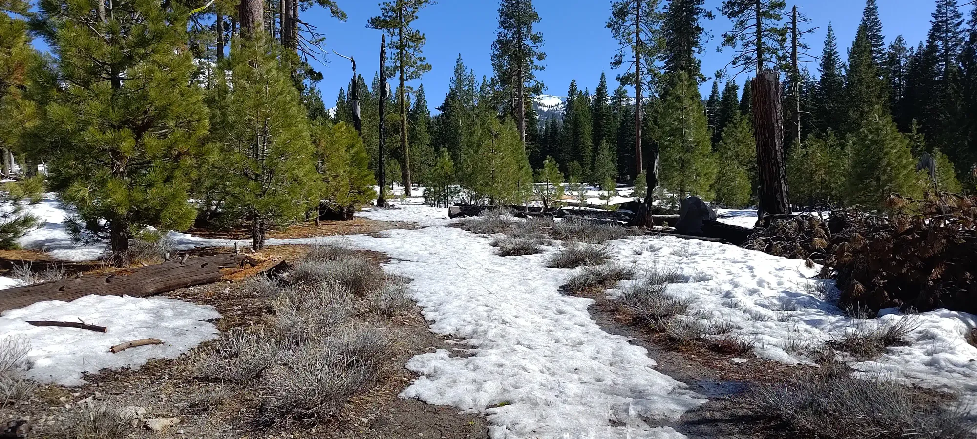
We found a thin snowfield almost right after the parking area, but it was short-lived, as that was but a shortcut to the road leading up to all the campsites by the trailhead. Those were seemingly being prepared for opening to visitors, as the roads were largely cleared, and some log clearing had already taken place, so we ended up walking the full kilometre until the actual start of the Manzanita Creek Trail.
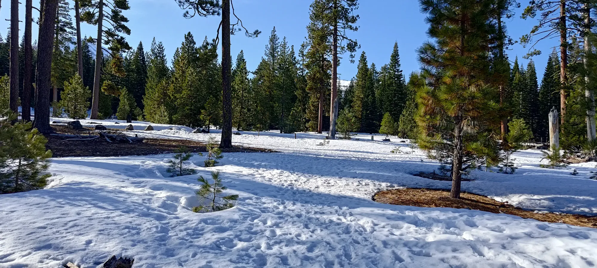
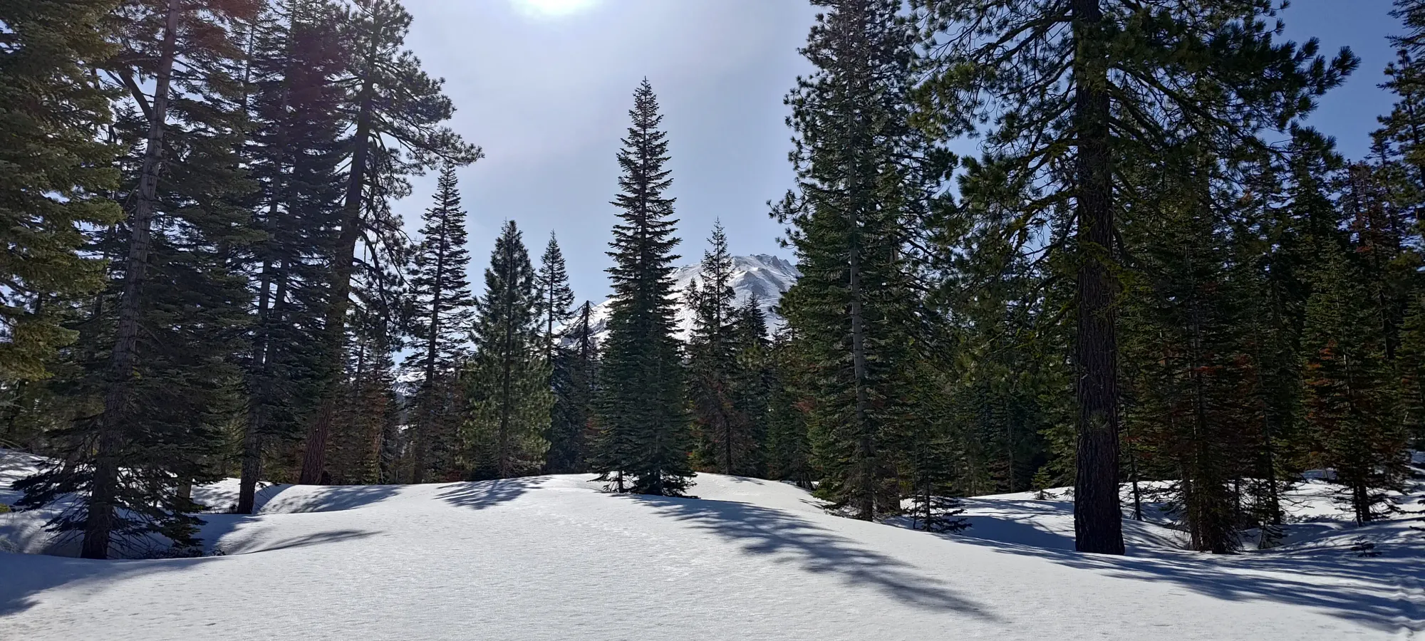
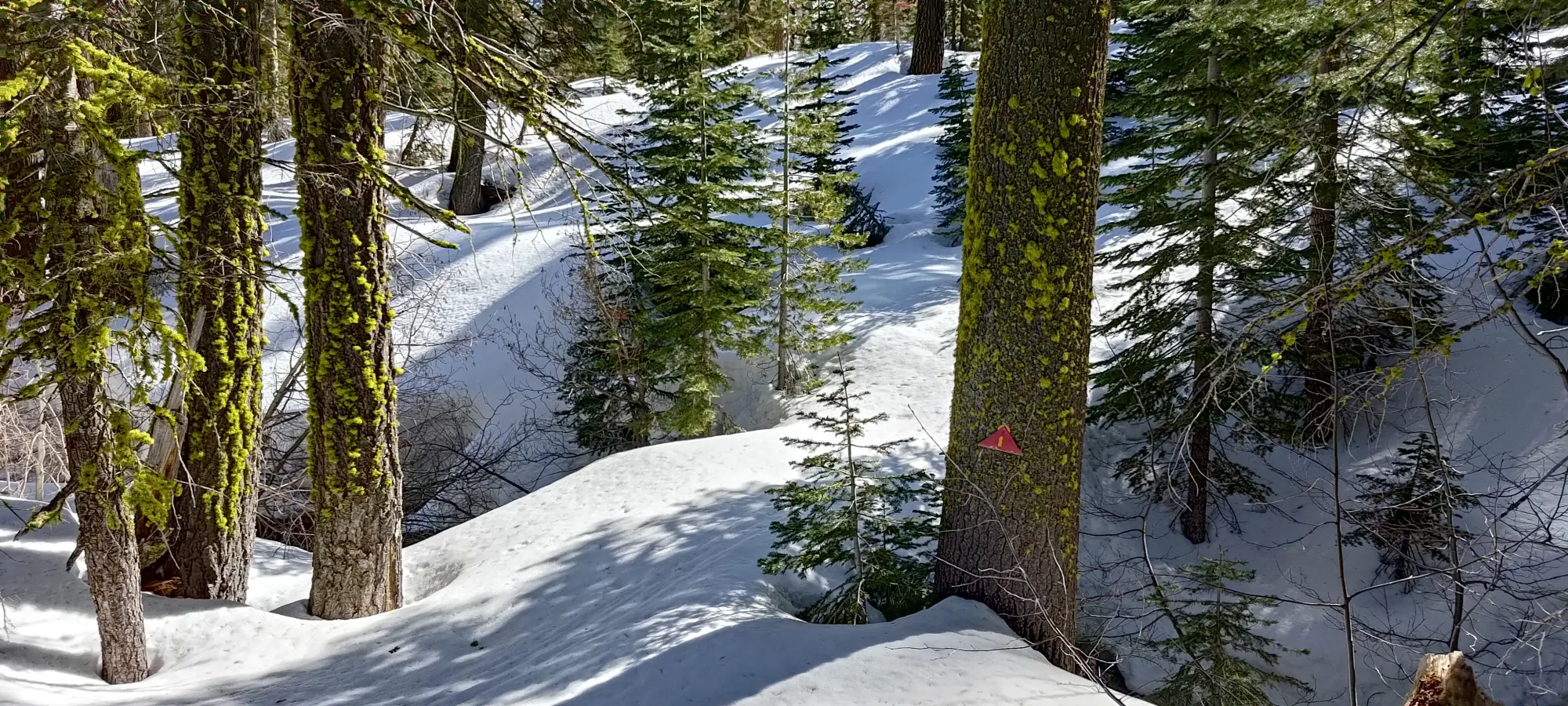
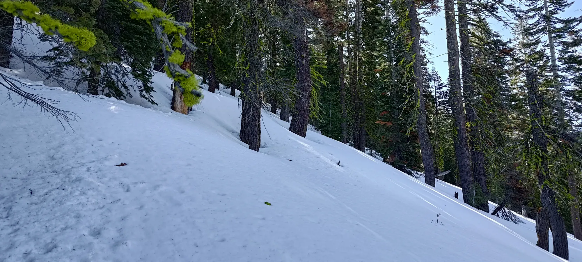
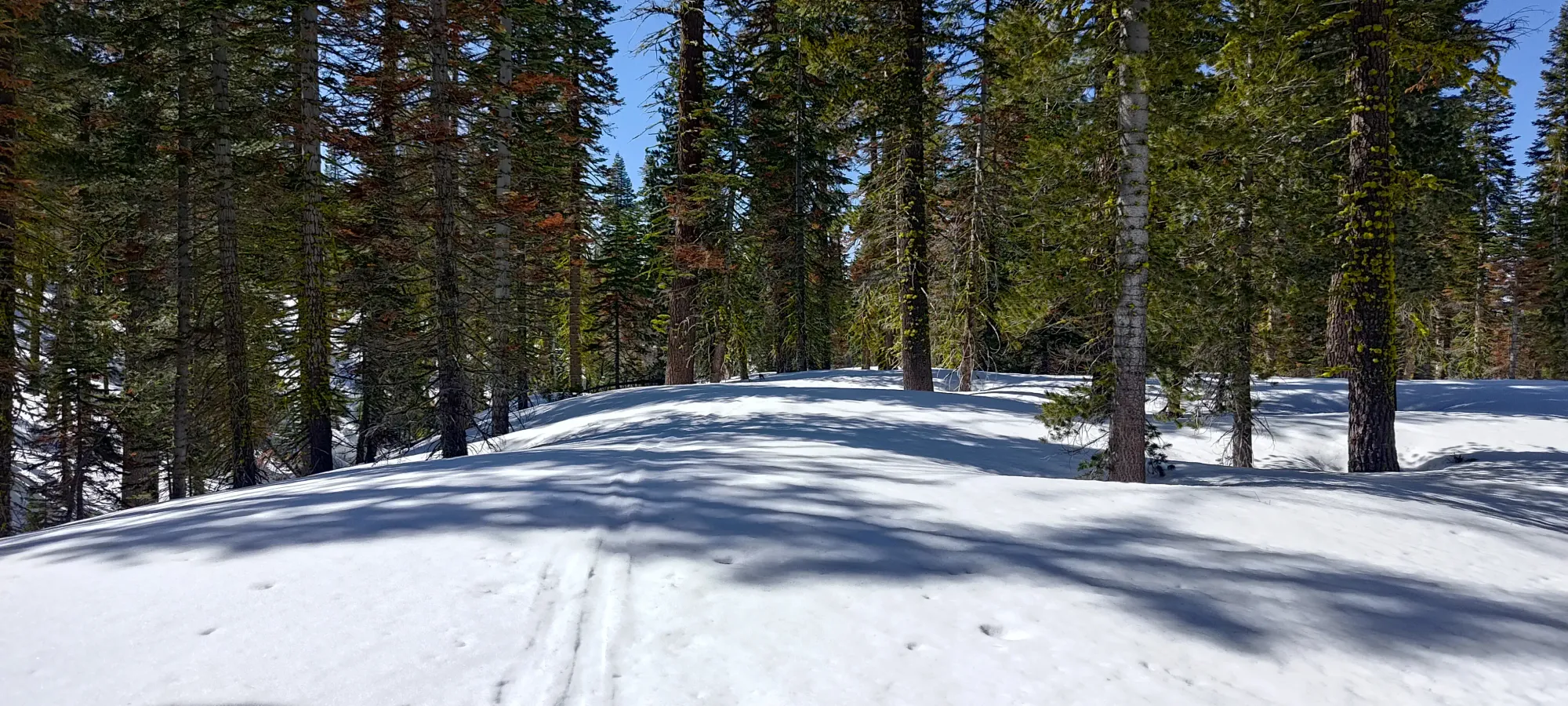
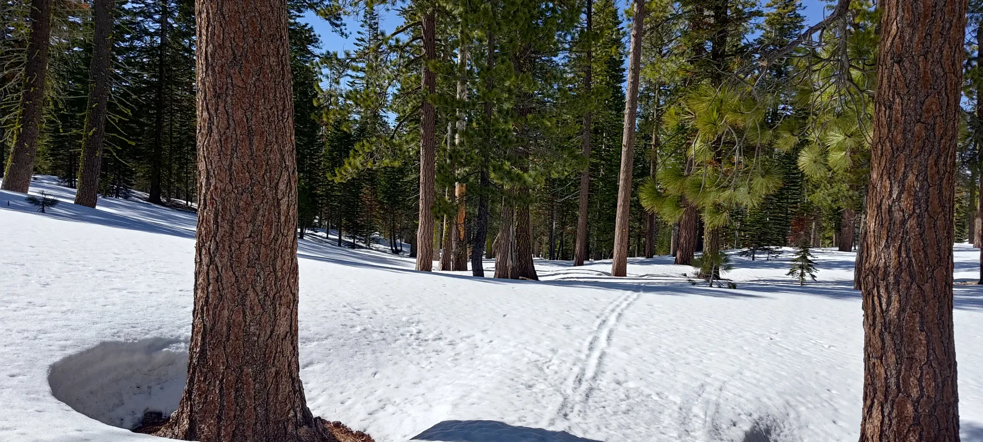
We were relieved to find the start of the trail to be skinnable, and started walking up the fairly firm snow the way god intended, with skis on our feet! It was difficult to make the official trail out in the open forest, with snow covering the dirt, but there were some faint tracks scattered about, and the terrain was simple enough that wandering a few trees left or right wasn't of any consequence. As long as you're vaguely going southeast, you're doing the right thing.
It seemed as if the last couple peaks were taking a toll on Eric a bit, not so much because he was moving super slow or anything (we were not moving super fast, but our pace was certainly adequate), but because he seemed to have developed a nasty cough. At first, I did my best to just keep moving ahead to keep things flowing, as it seemed to surface only when we stopped. He let me know that this was just because that's when he finished his lozenges and retrieved the next one 😅. Apparently that often happens to him when he goes for higher peaks (we'd just done Whitney a few days back), but he seemed confident in this mitigation strategy, so we pressed on.
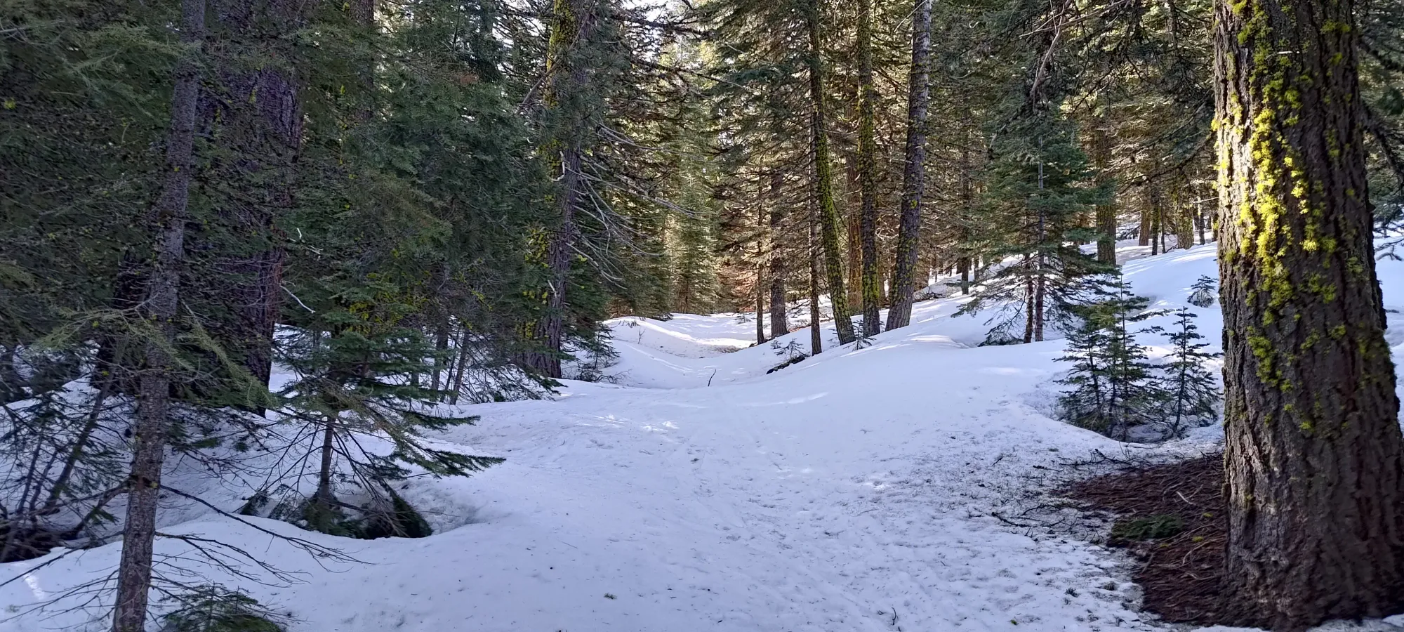
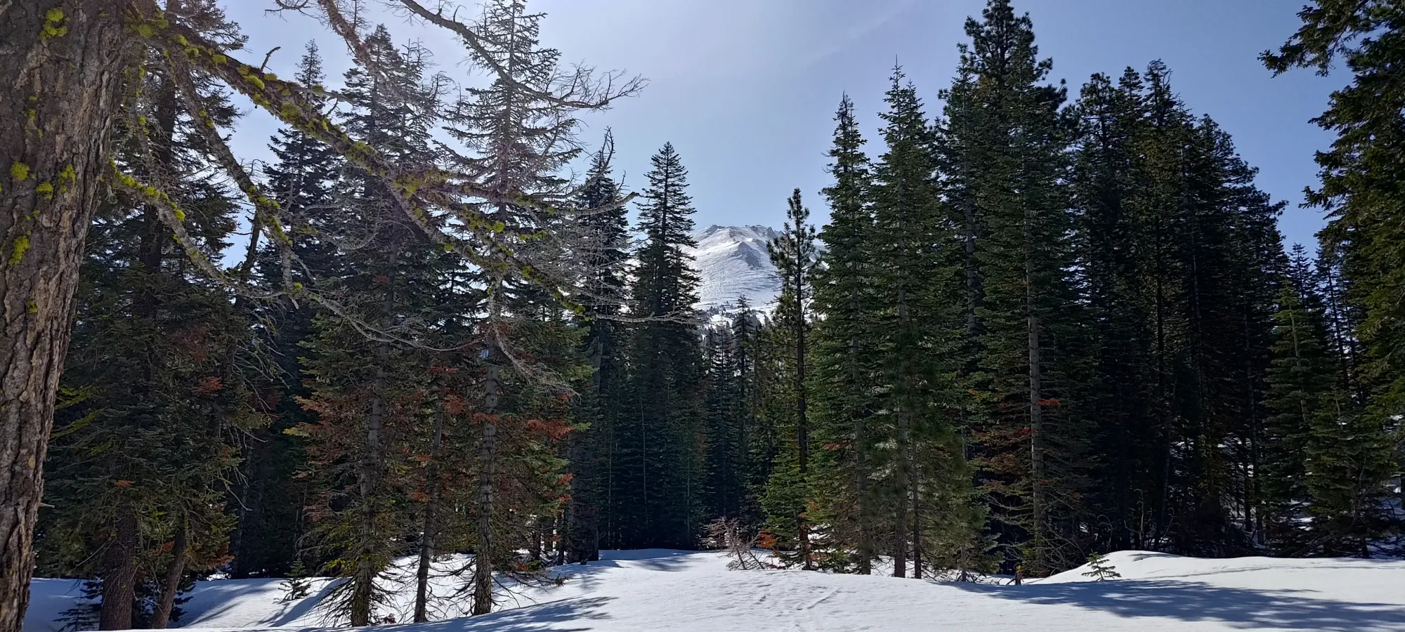
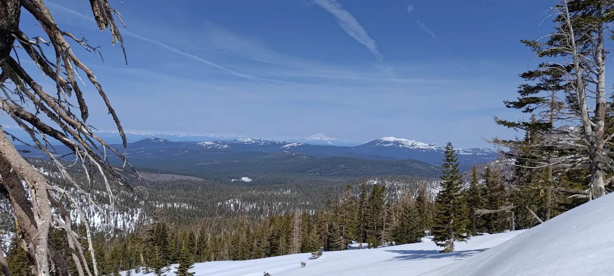
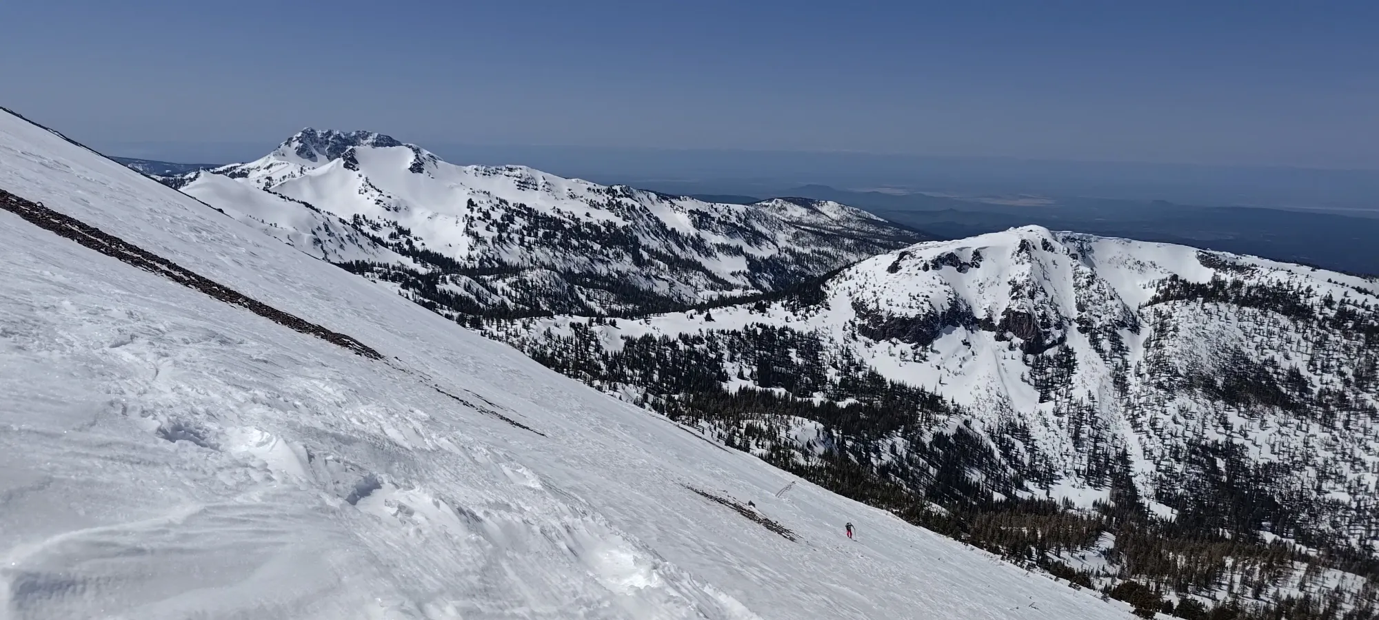
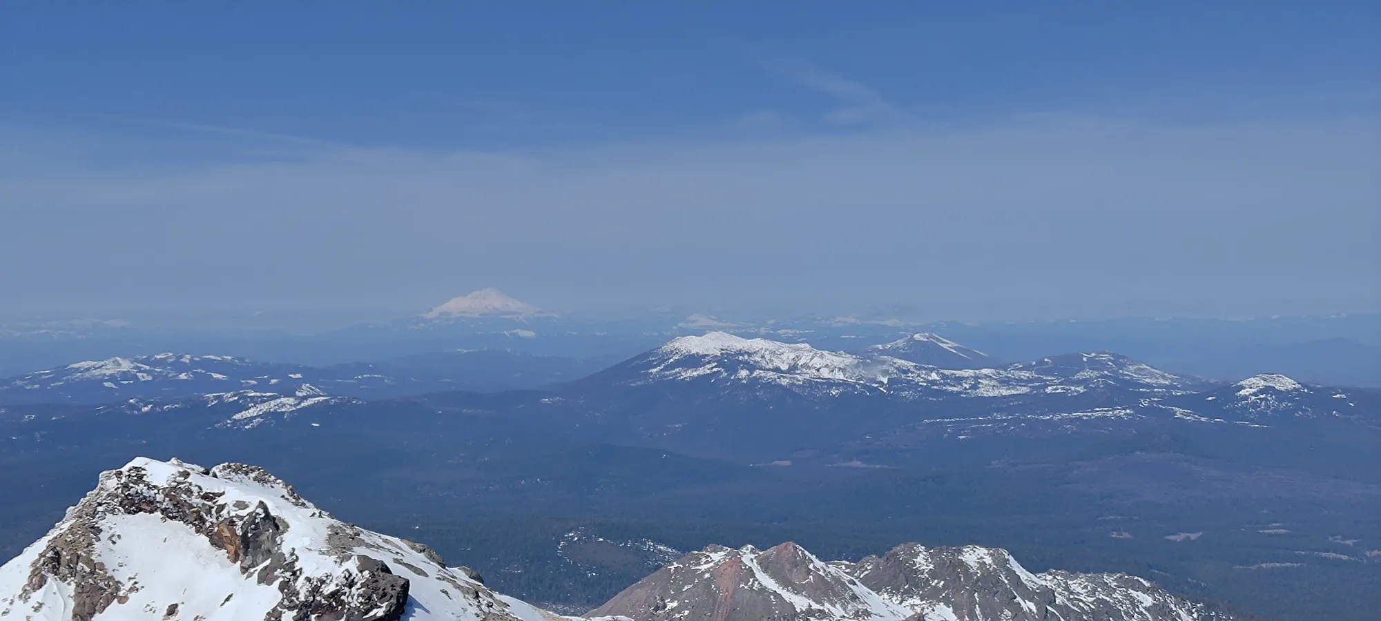
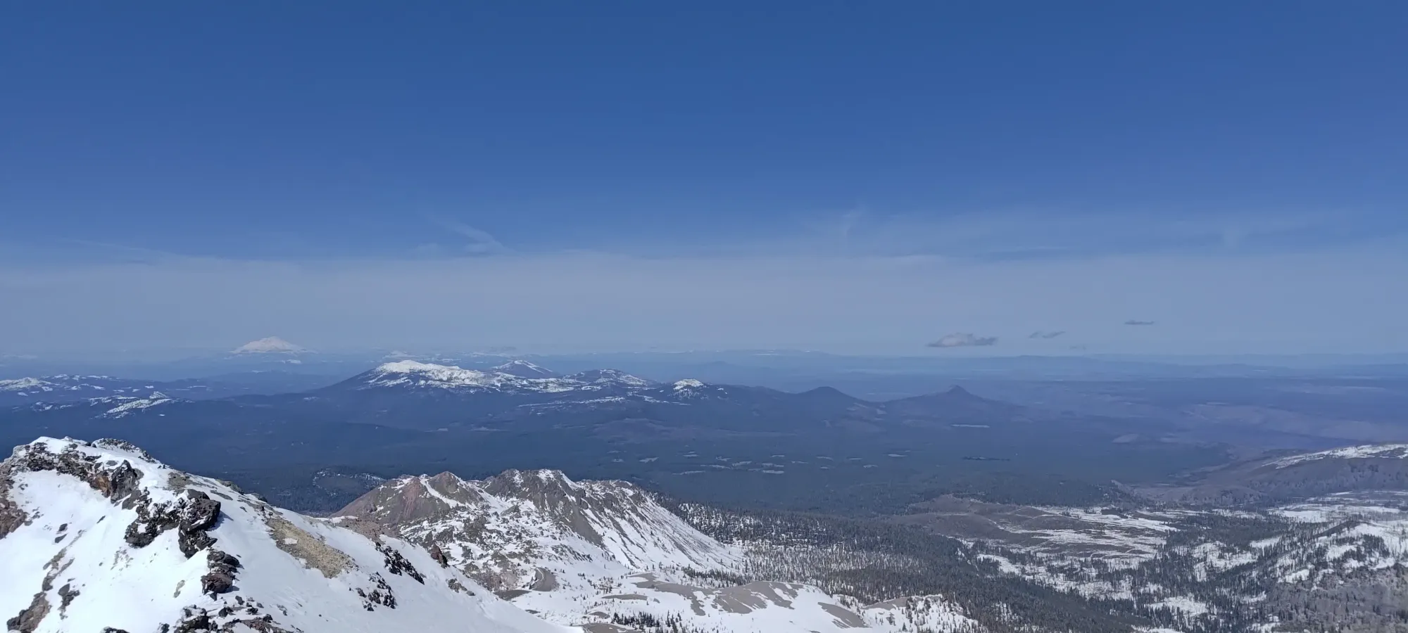
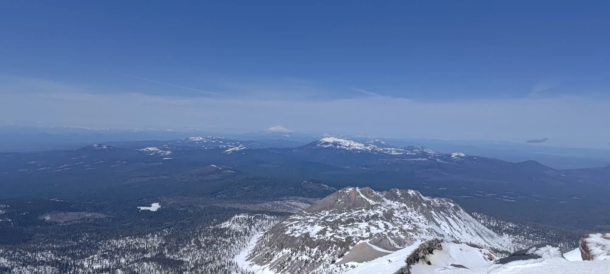
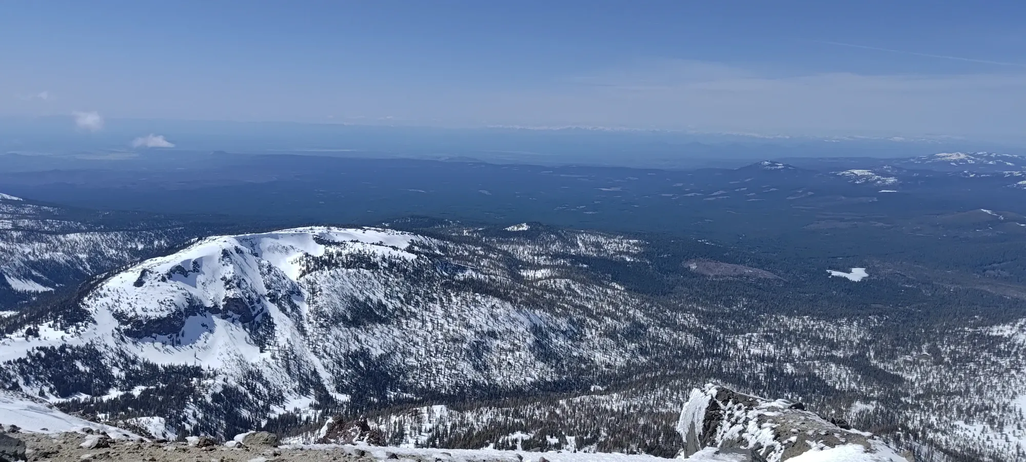
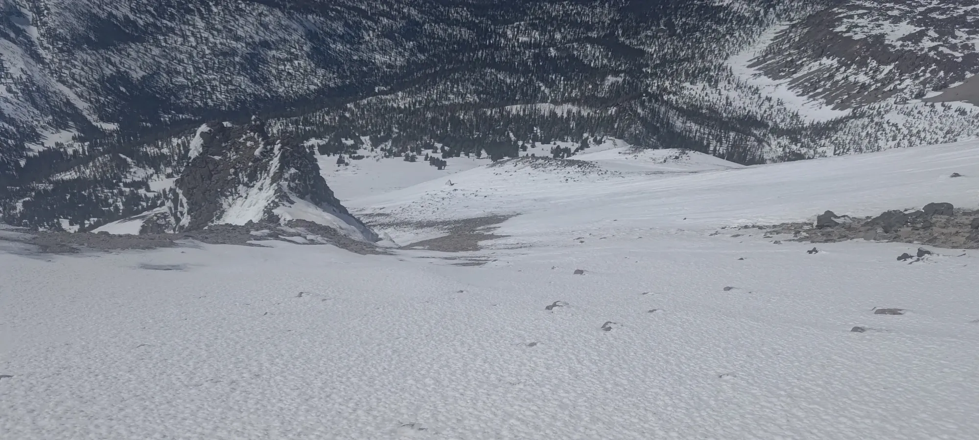
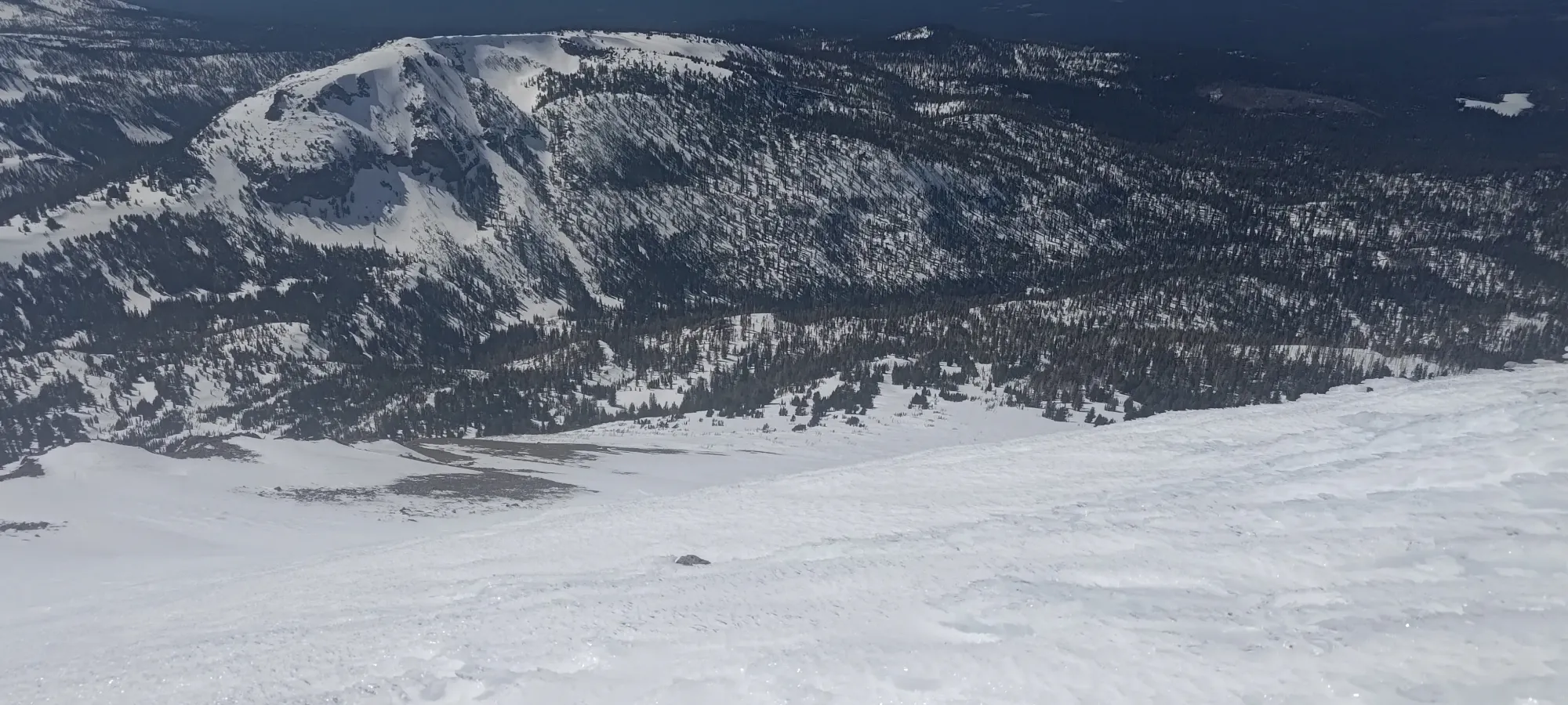
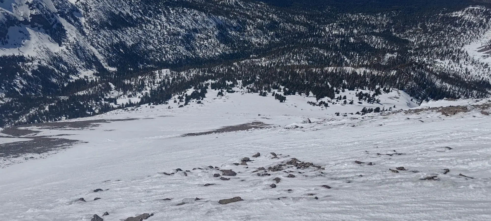
A little under an hour into the day, we found ourselves in a bit of a flatter spot (not that the trail along the creek is steep in any way), where we started to get some peeks at the surrounding mountains, and more notably, realised that we might not be able to ski perfectly the whole way down, especially with warmer spring snow (another point in the column for doing this in, like, February).
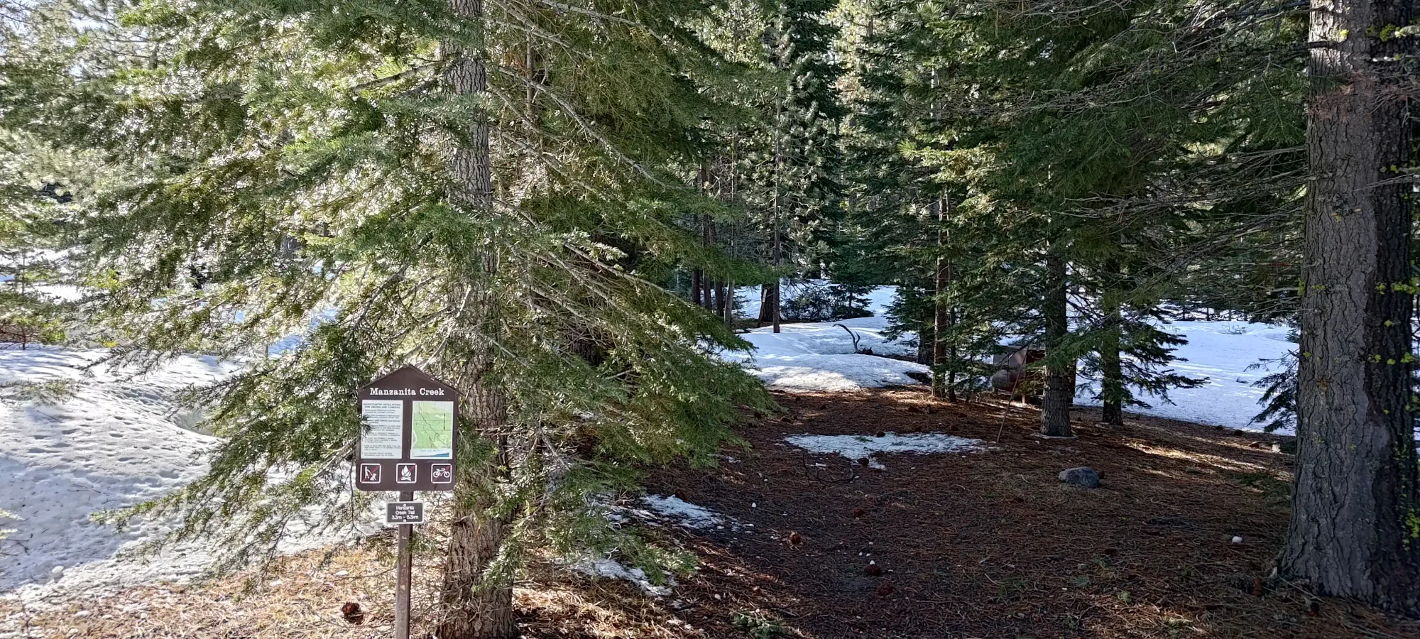
Thankfully, the flat part didn't last for more than a few minutes, and we were going back uphill (if gently) in about 500m. The next point of interest was where we crossed Manzanita Creek. It was open up past 2000m, and while it was possible it would get well-bridged before the creek turned east up the slopes of Lassen, our route research indicated some cliff bands if you waited that long, so we decided to just cross at the bridge that forms part of the official trail for the summer, which was simplest, even if it had a small bit of undulation to access we'd need to deal with on the return.
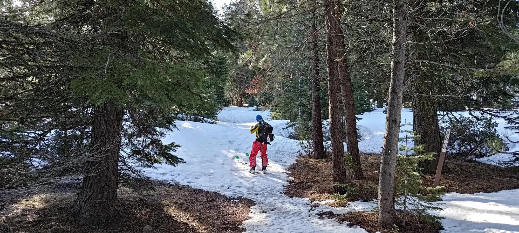
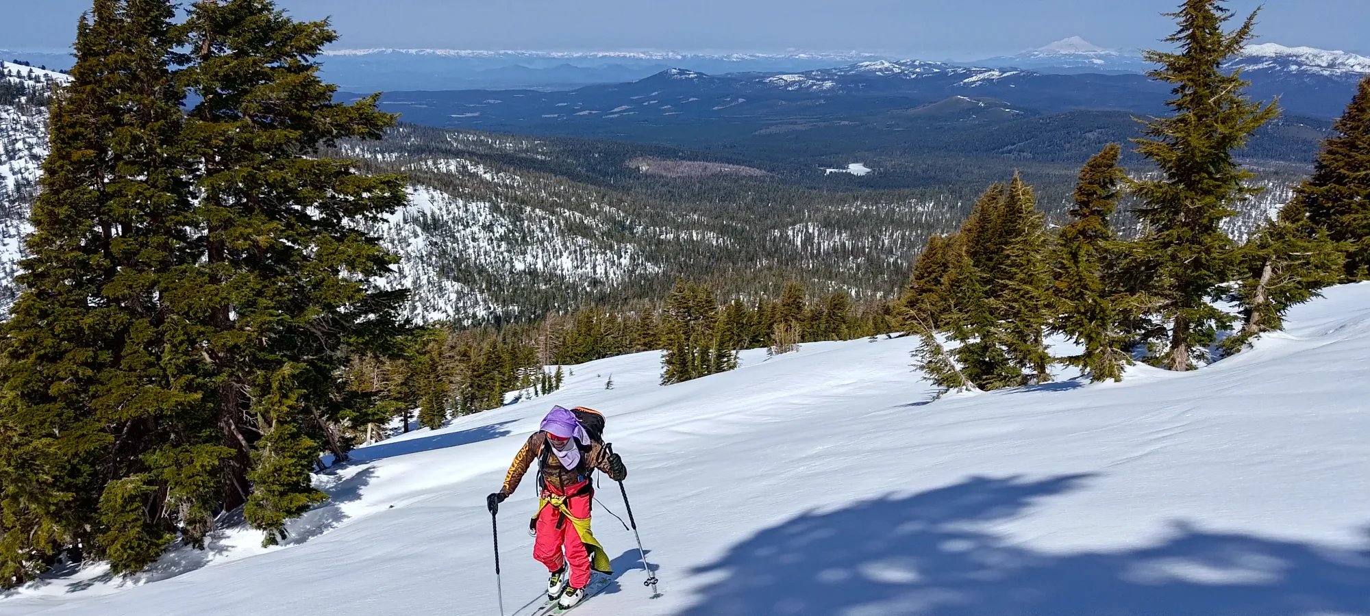
Once we crossed, we kept walking more or less beside the creek for about half a kilometre, until we hit the point where the rough track I'd outlined based on my estimation of the location of cliffs/ridges started to deviate from the trail and head more directly to the summit, so we decided to punch up the short steep ridge to the east for about 50m of elevation, and enter the next stage of the ascent. In the morning, this was quite firm, but we managed to get up with careful skinning.
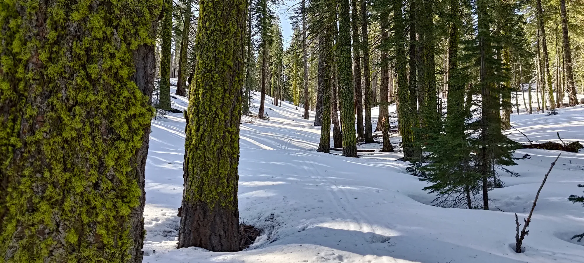
Once we got up that section, it was basically just a game of "how much are you willing to sidehill" for about 1.5km 😅. We did our best to balance the annoyance of sidehilling on fairly firm snow with the efficiency of maintaining a good angle for uphill travel. This brought us to about 6.5km into the day, to around 2330m, where we stopped for a short break, now a couple hours in.
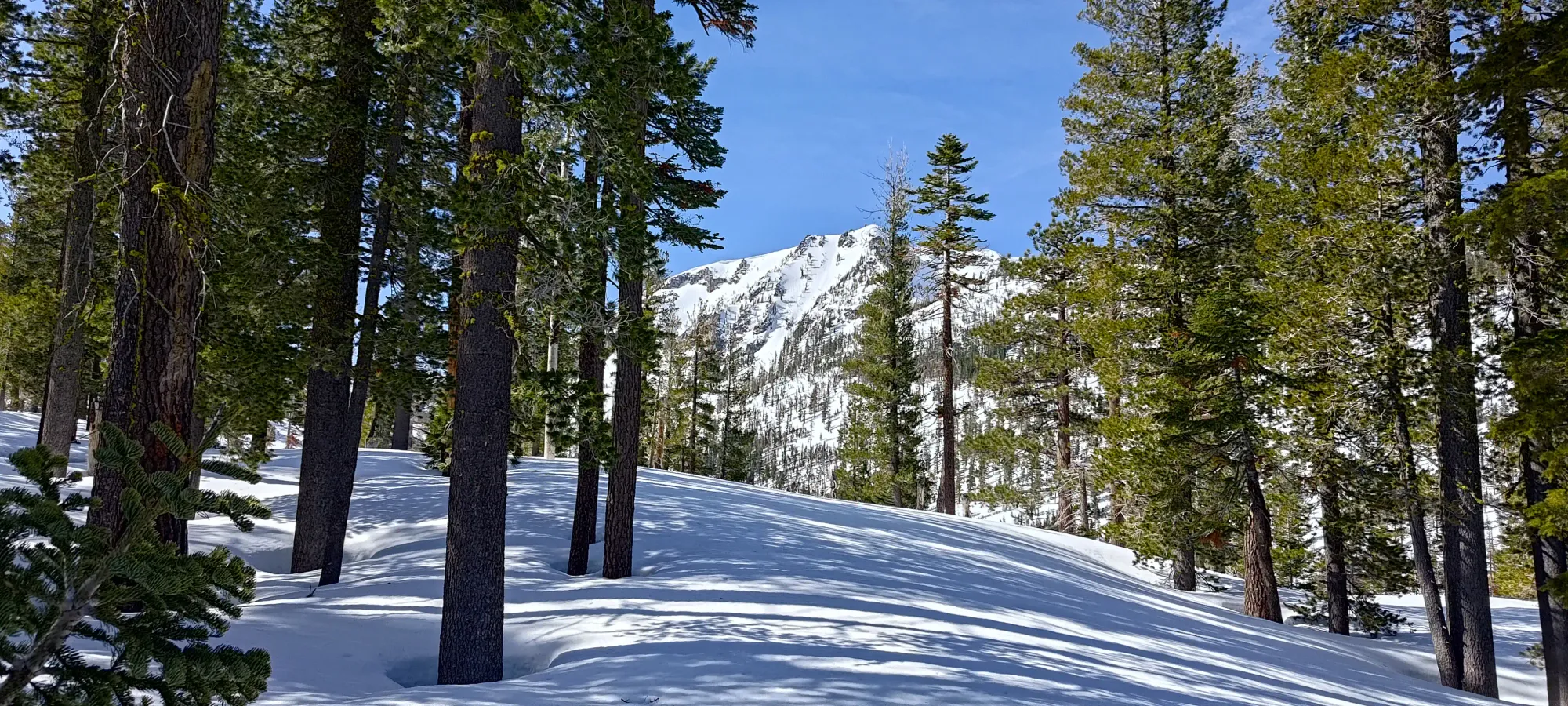

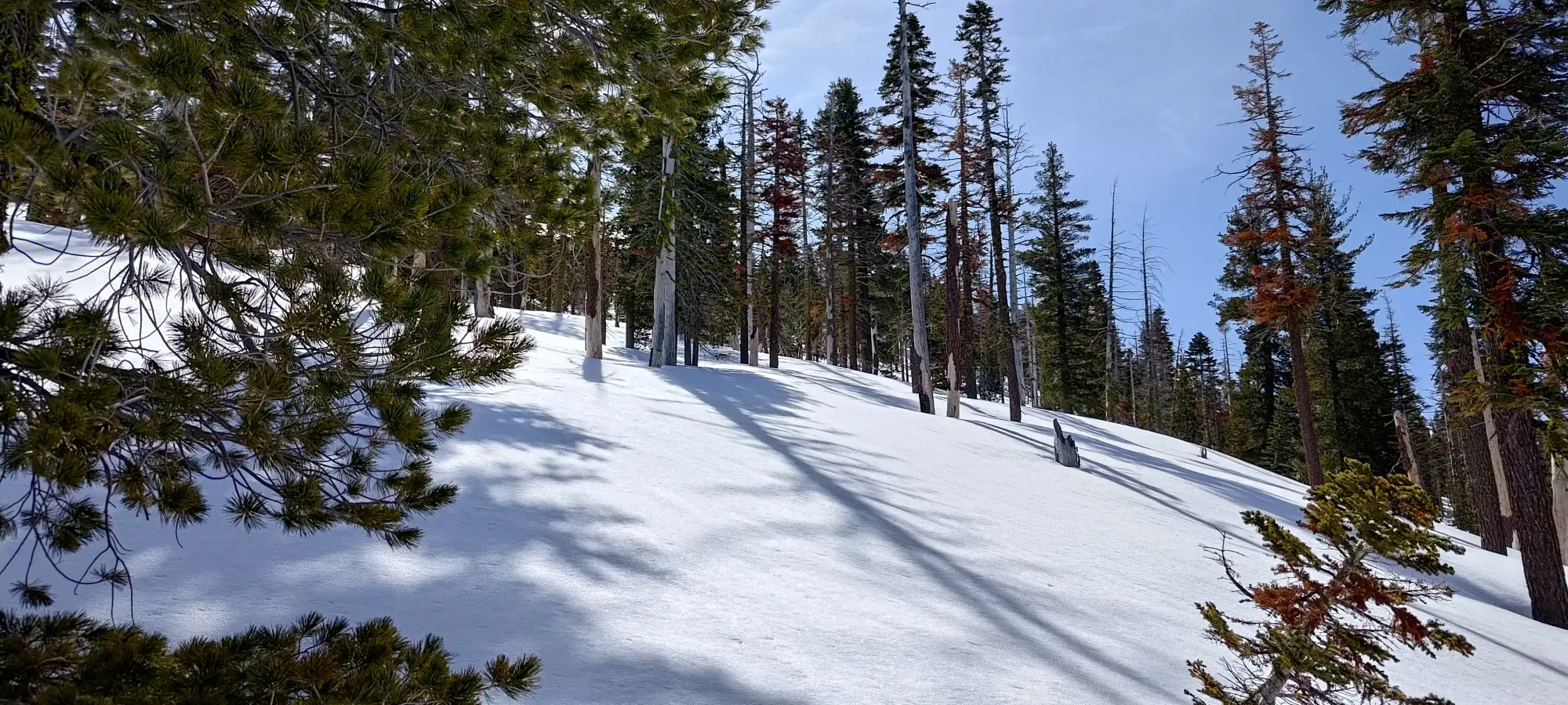
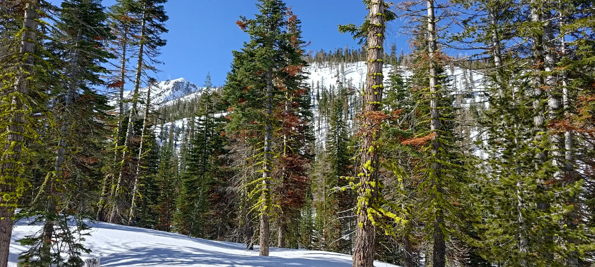
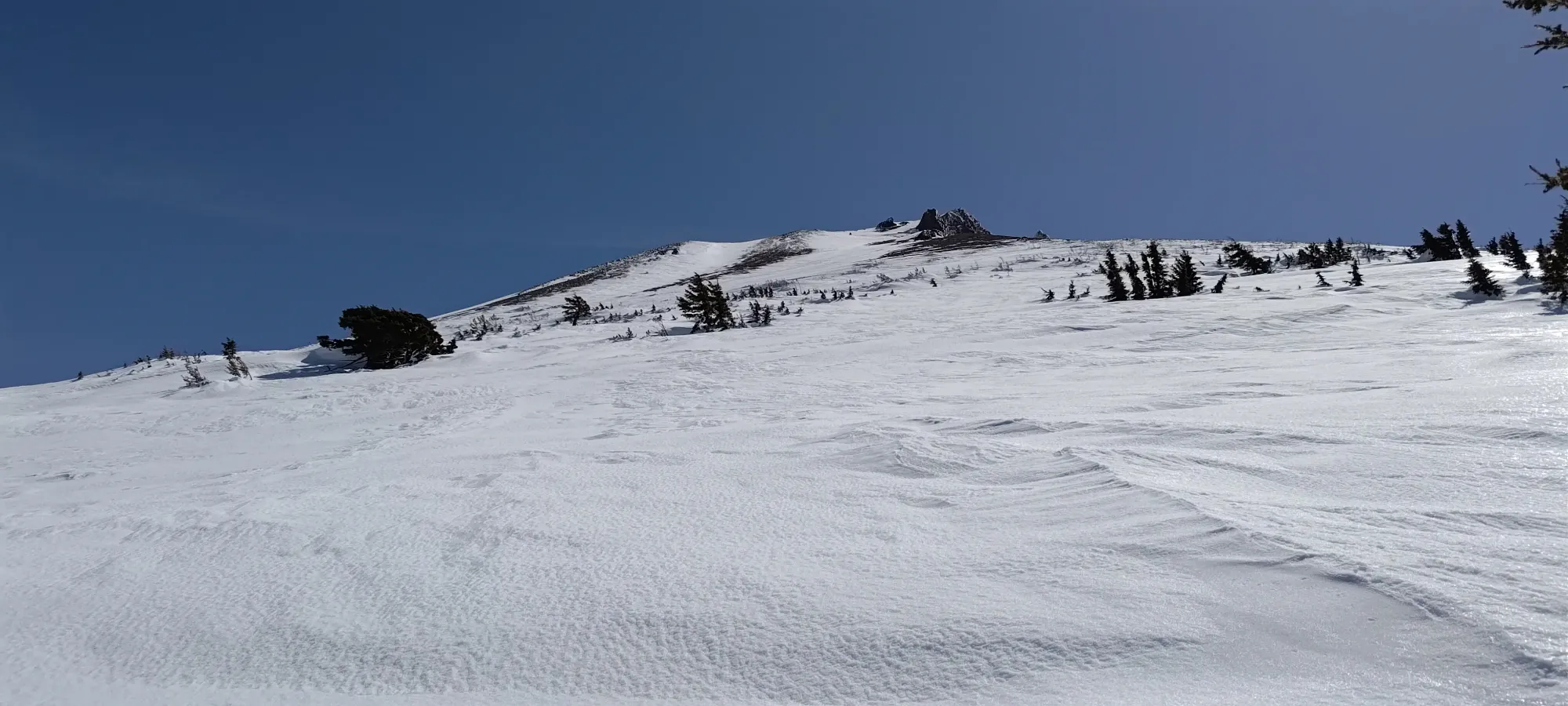
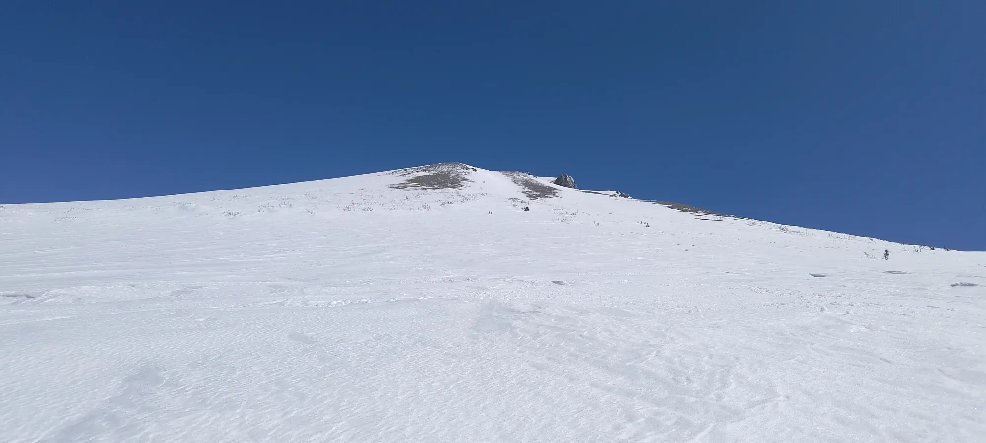
Once we set out again, it wasn't long until the sidehilling could finally end and we could start making our way up more directly. In this upper forest, the trees were even more sparse, and we had the choice to follow the open terrain (probably old lava flows?) or try to stay in the tree clusters. While we attempted to do the latter, that terrain tended to be more featured with small rolls and steeper micro-terrain that made skinning more of a challenge, so we ended up enjoying the sunshine for the most part (not that I minded, as long as my skins aren't glopping, I do enjoy the sunshine).
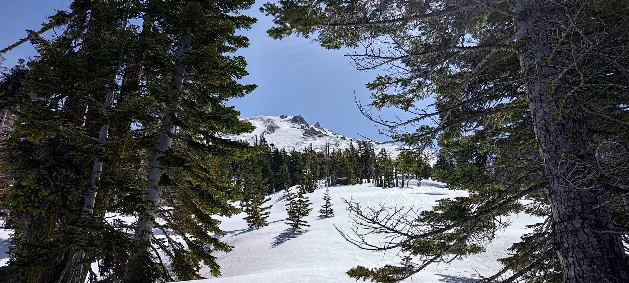
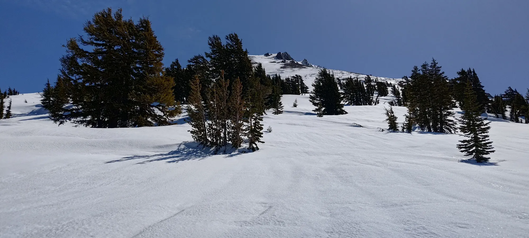
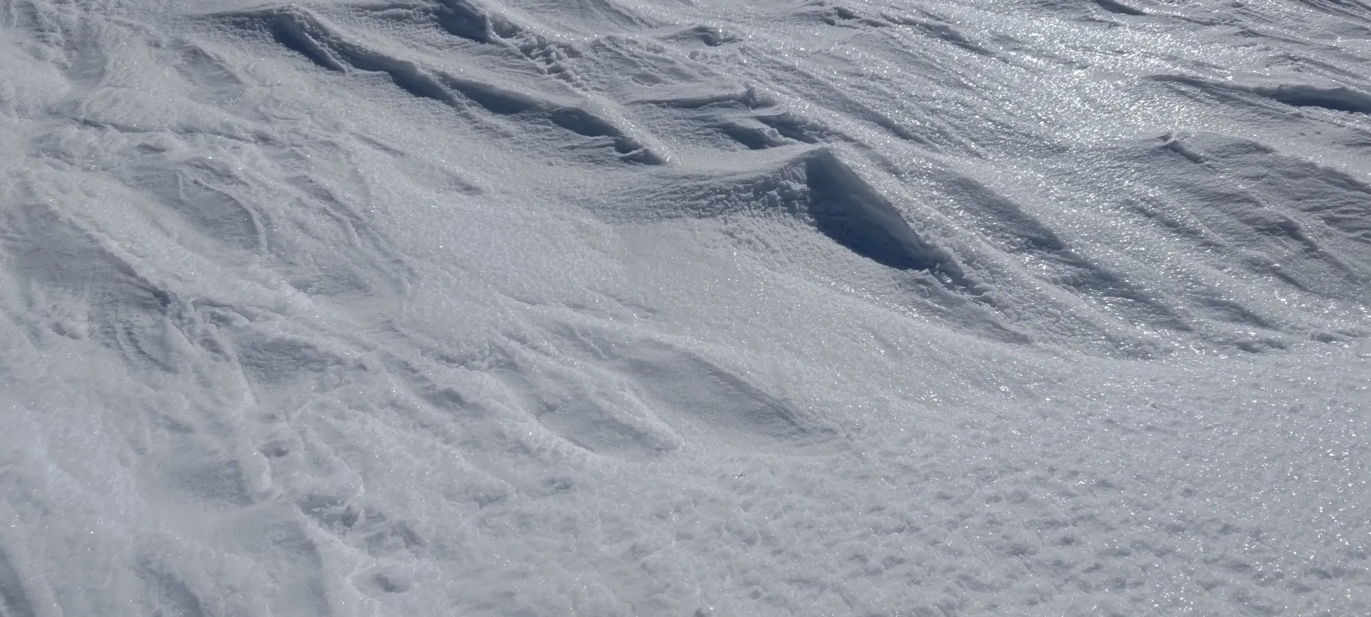
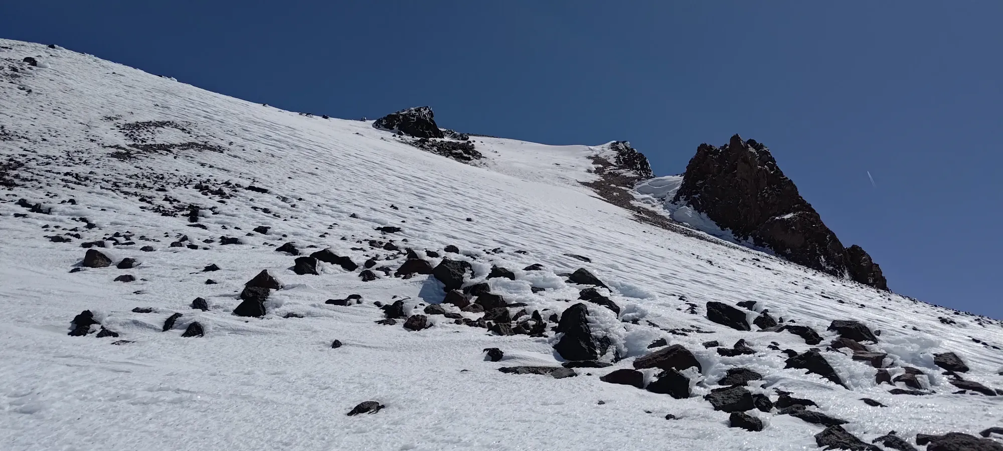
Things were pretty chill until about 2600m, where the snow quality was really starting to get noticeable, and problematic 😅. It seems the NW aspect is quite powerful at this time of year, and despite it being nearly noon, the slopes were quite icy, and continuing up without ski crampons was not a feasible option, so we stopped to slap those on before continuing up. The day was devoid of clouds, so we had expectations that the sun would eventually break the ice down and give us some corn, but we were honestly a bit worried about how long that might take given the state of things so far into the day.
While the ski crampons definitely helped with grip, making switchbacks up the icy slopes was still not exactly what one might describe as a chill, mindless process. We had to keep our focus on for each step to ensure we had purchase on the slightly uneven snowpack, and to make sure we didn't slide back down. I marched on for another 250m of elevation, which ate up about 45 minutes of time, until I finally reached a couple small trees which created a flat spot on the snow where I could actually stop and rest without having to worry about sliding down. Eric was having a more difficult time dealing with the conditions, so I had a decent break of around 20 minutes before he caught up and we figured out what to do next.

Once Eric caught up, we agreed that skinning wasn't the ideal approach going forward. So, we decided to put our skis on our backs and boot up the rest of the face. Sadly, Eric had left his boot crampons in the car, having a more optimistic outlook on the conditions we'd encounter, so he wasn't sure if he'd be able to make it up, but we figured it was at least worth a shot. He at least had the option to move to climber's left into the talus field where the challenge was just "tedious, loose rock" instead of ice, so we agreed to at least see how it went for him, and decide on an action plan based on that.
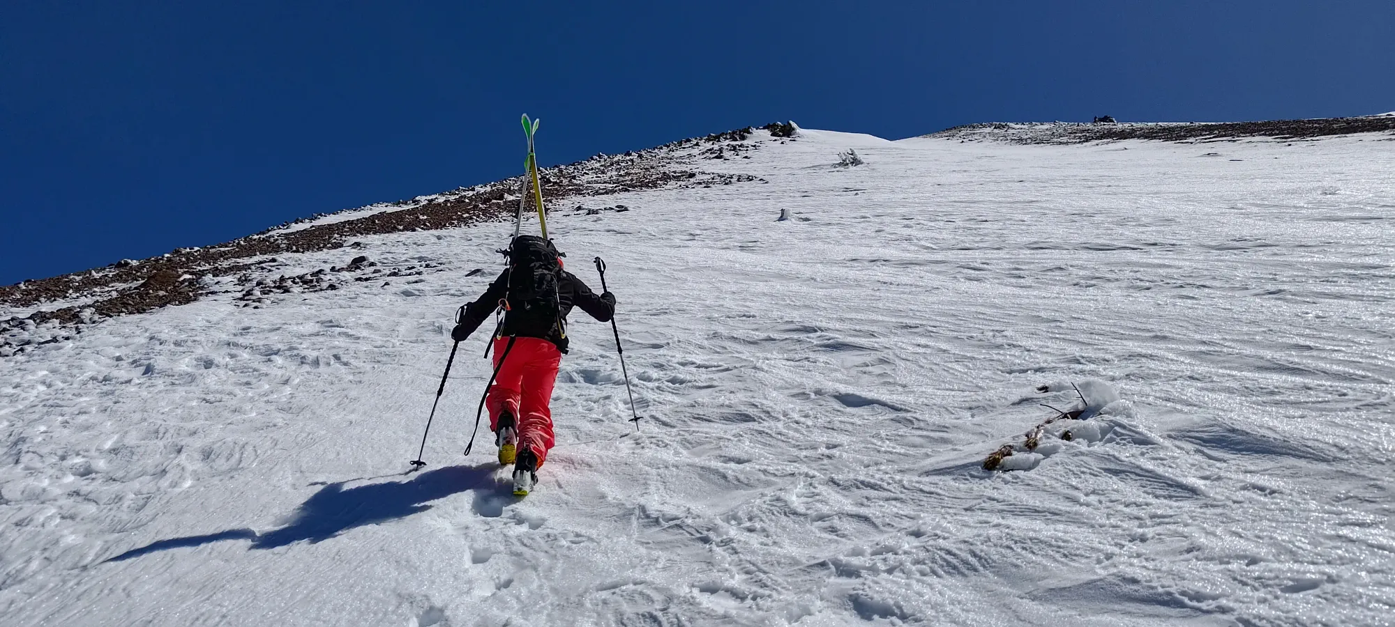
The first few steps went okay, actually, with us breaking through the thin, icy crust and only penetrating a few centimetres into the snowpack below. However, that didn't last for all that long, and soon enough, Eric's metal-spike-less boots weren't quite cutting it, so he went over into the rocks while I continued up in the snow, having brought an axe+crampons "just in case", as I'm much more of a peakbagger, and wanted the insurance of being able to get up whatever the mountain threw at me.
After a few minutes of struggling in the talus while I made easier progress up in the snow, Eric decided that it wasn't worth continuing up. He very generously did tell me to go on ahead while he just went up until it felt not worth it anymore, and would then just wait for me to descend. I thanked him for being a great partner, then did my best to turn the jets on to minimize the wait. While the meaningful wind that was forecast wasn't super noticeable on this aspect, sitting around on the mountain isn't really fun, ever, so I wanted to keep him idle for as little time as I could.
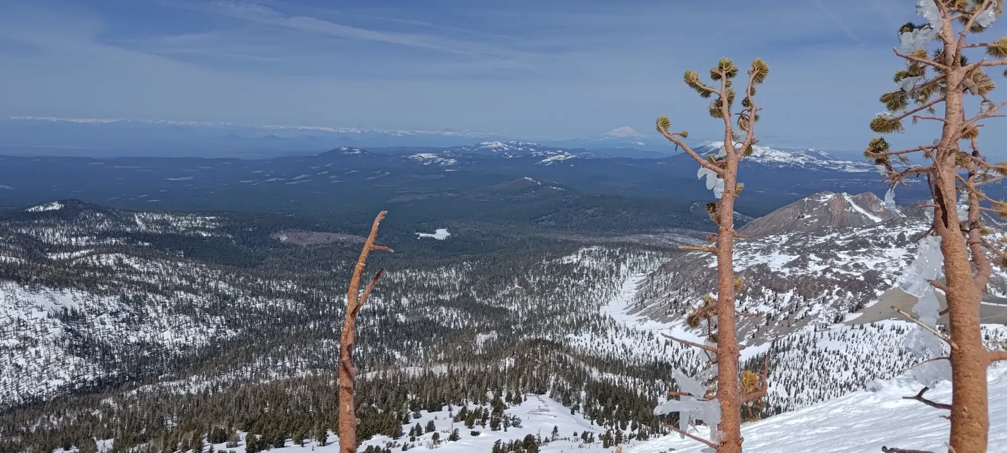
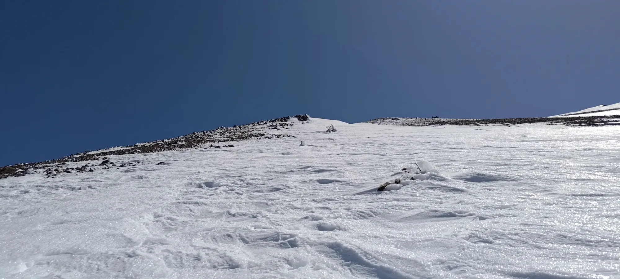
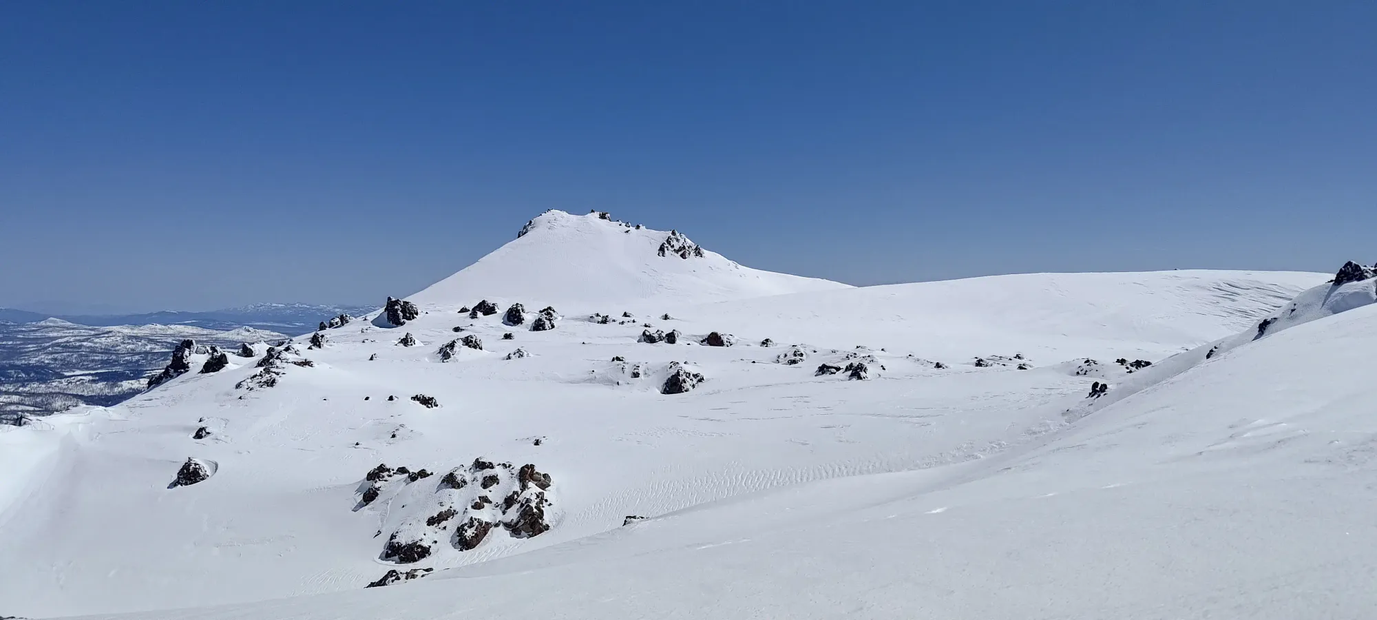
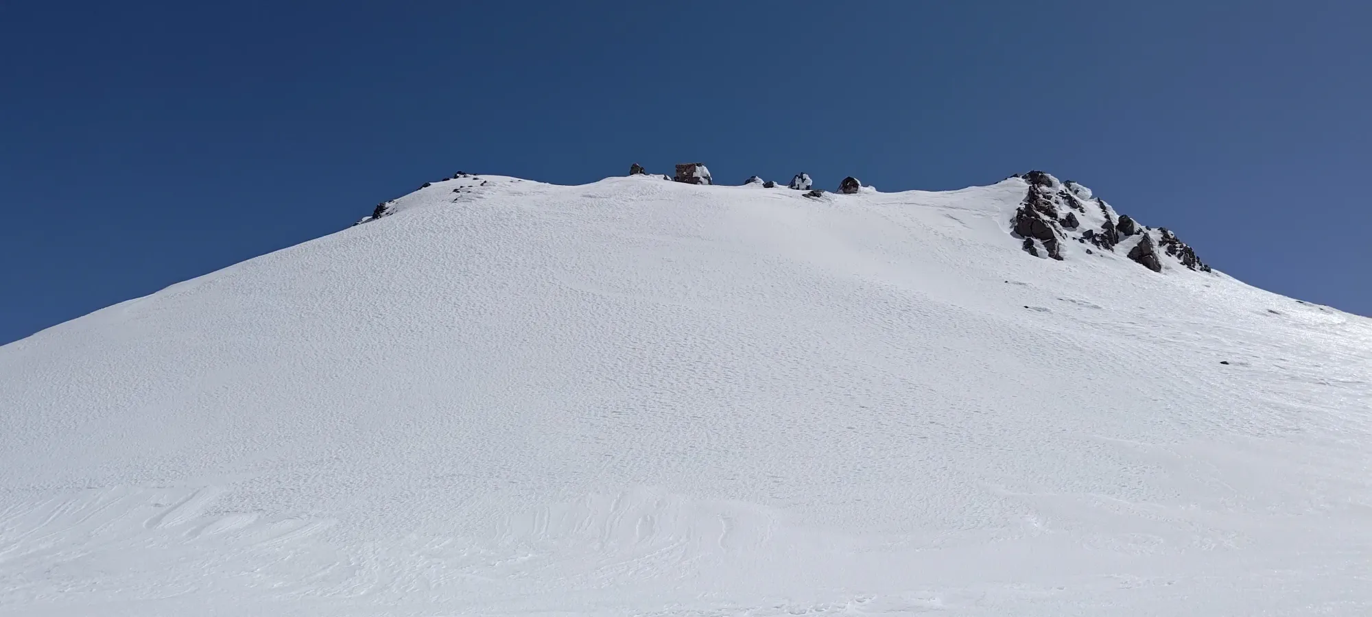
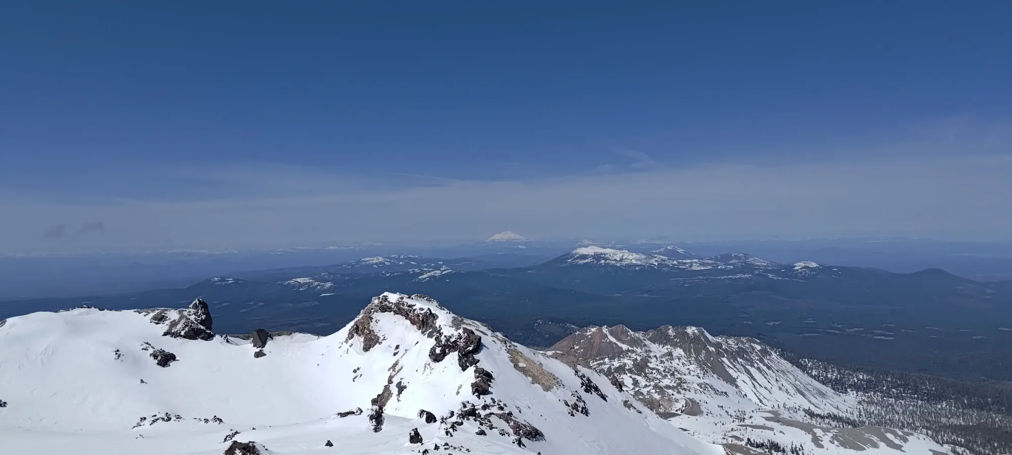
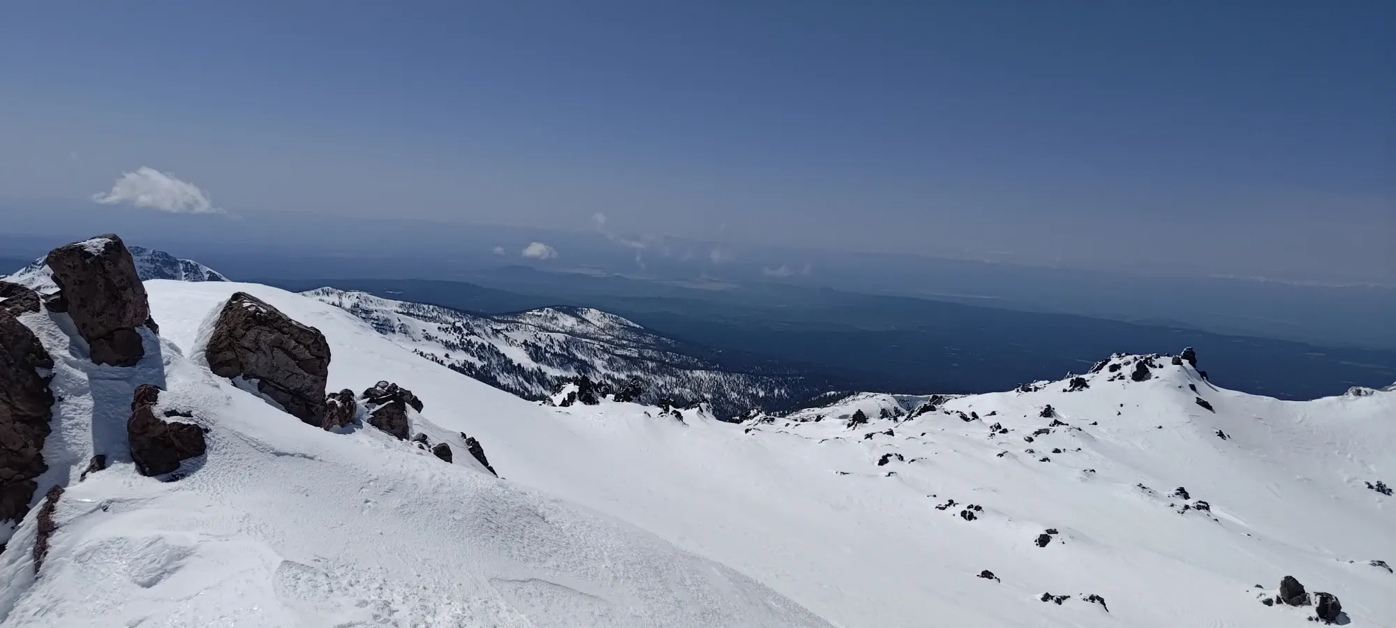
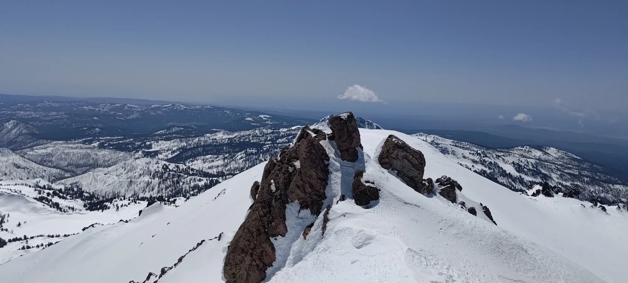
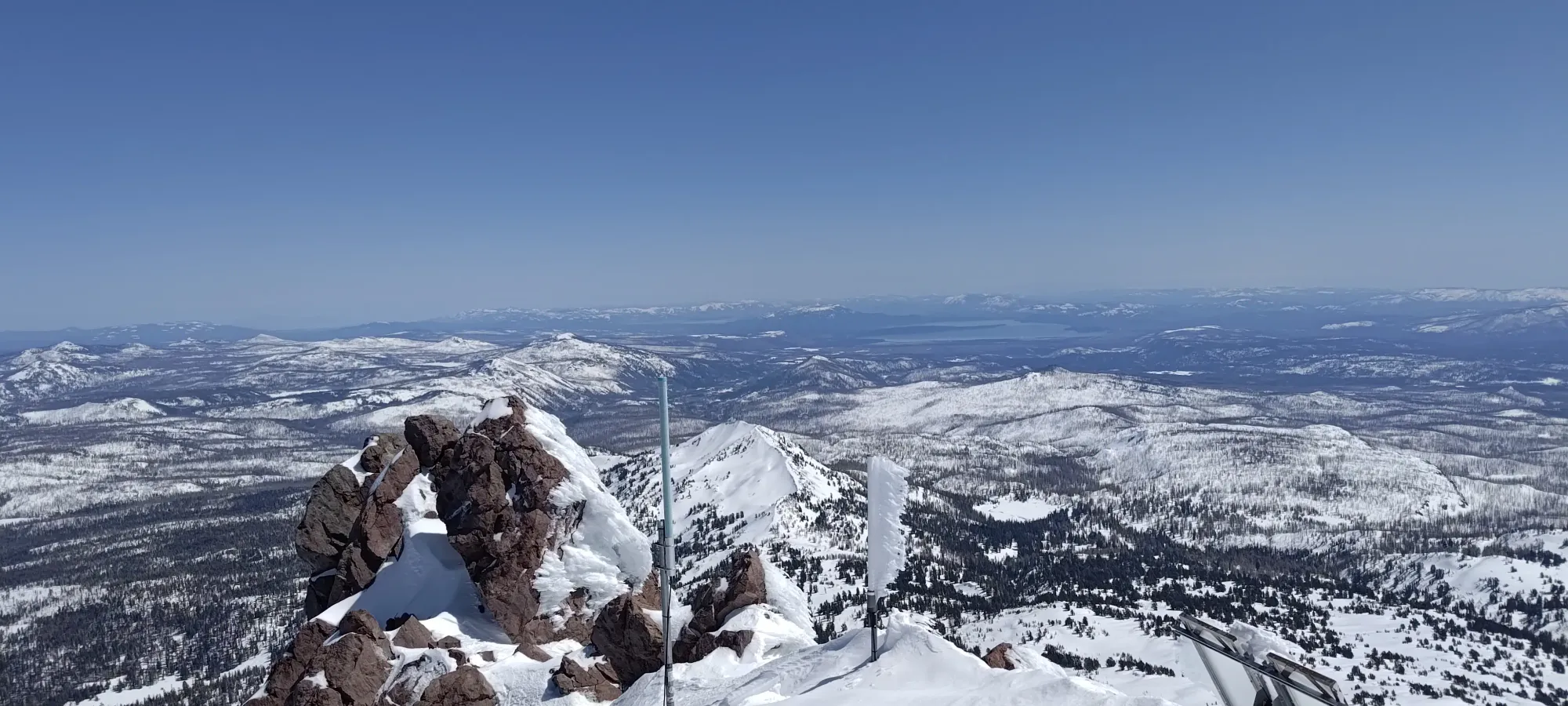
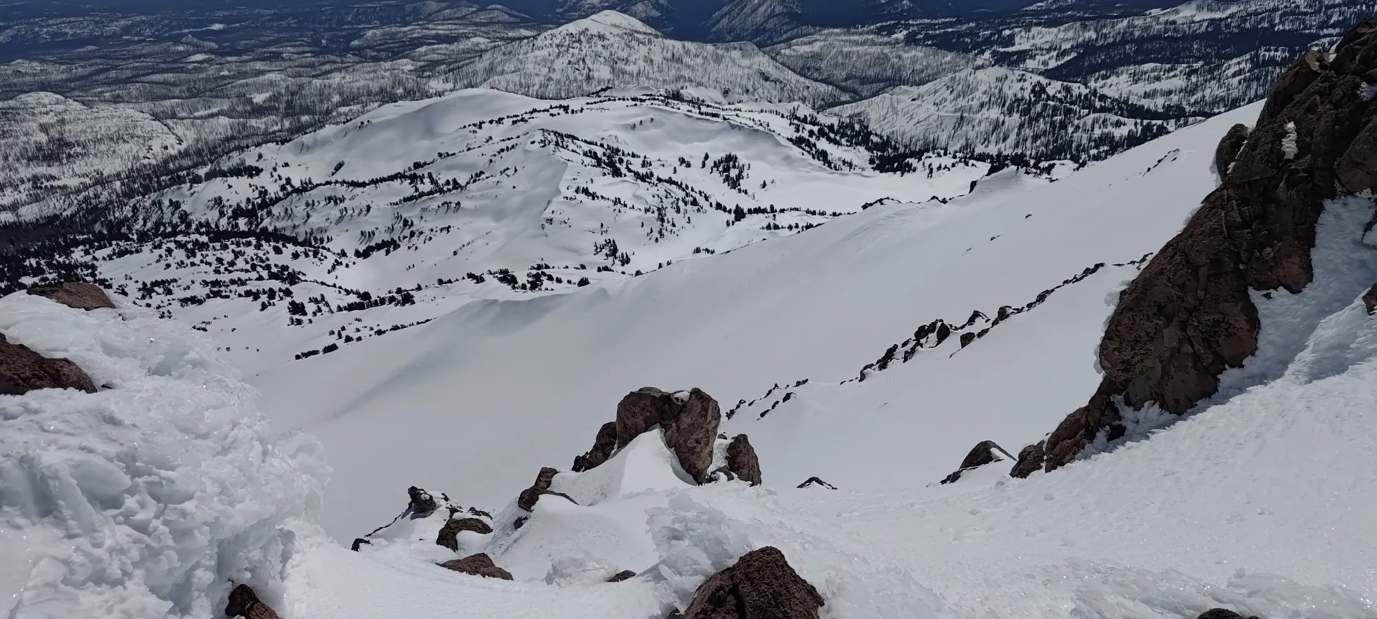
The snow got thinner as I got closer to the crater, but there was always an option to stay out of rocks, so I was confident I'd be able to ski from the top, if not in a particularly confident or rapid fashion 😅 I cranked out the final 200m to the crater rim in under half an hour, where I found some rocky formations I had to curve to climber's left around to access the summit.
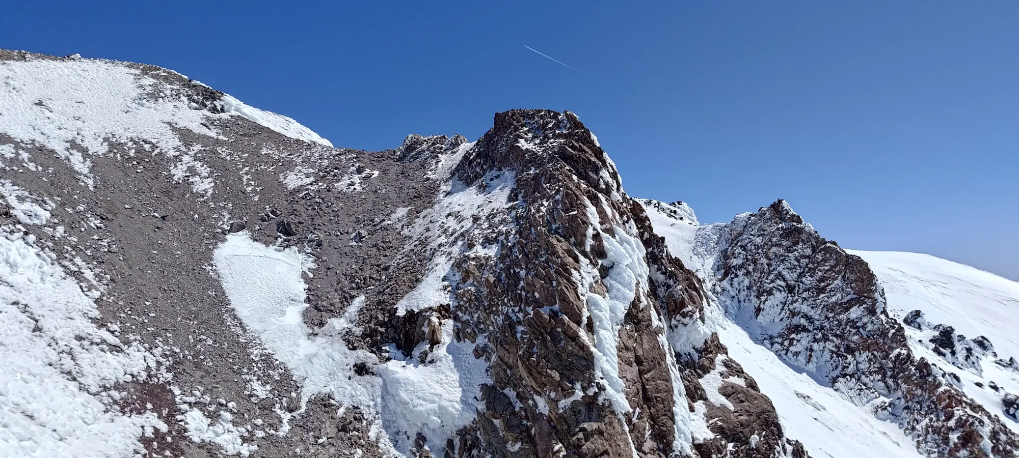
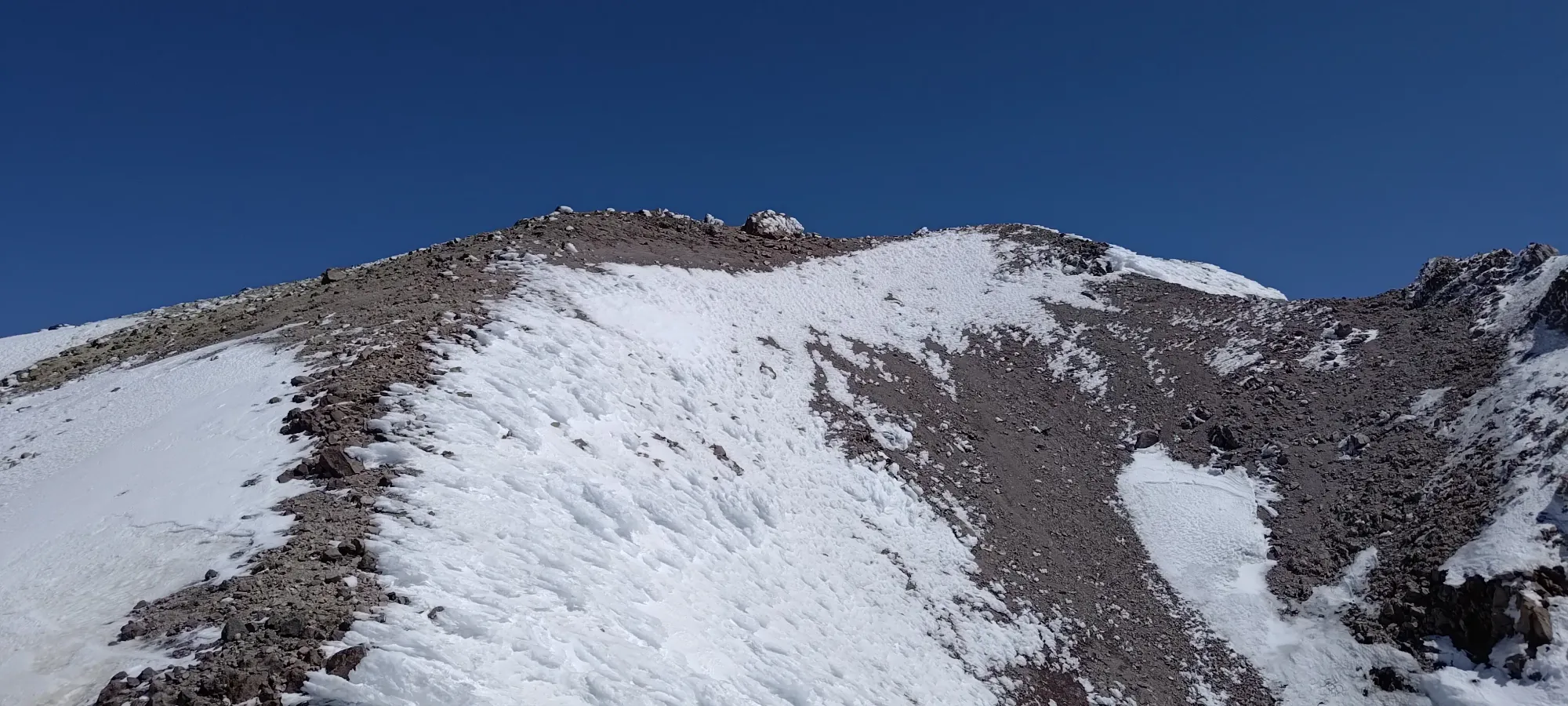
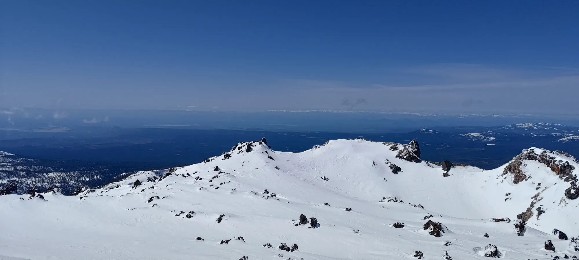
To reach the summit, one has to make a small traverse across the sides of the crater (or I guess just descend right down the middle if you hate yourself and love elevation gain). It would've been efficient to ditch my pack at this point, or perhaps even put my skis back on, but I was too lazy to transition, and I think having your skis on your back makes for a cooler summit photo 😃, so I just kept my pack on and started booting over. It took about 10 minutes to reach the base of the final climb to the summit, which was also quite firm, and would've required booting. Since the way over didn't have many deep steps on the traverse over, booting the whole way ended up being the right call 🙂
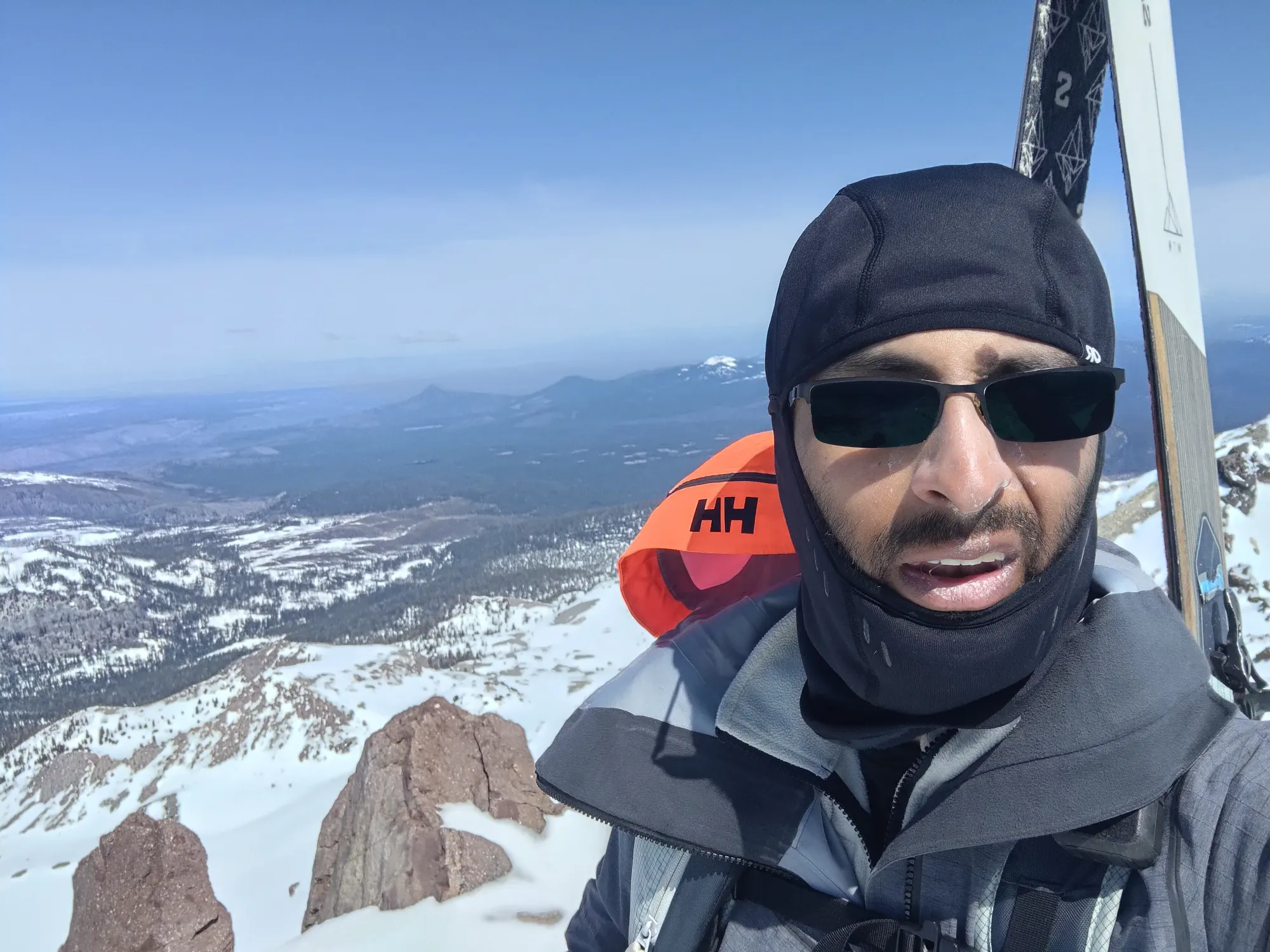
A few short minutes later, and I was on top; pretty much exactly 5.5 hours after leaving the parking lot! I do so love when life just ends up spitting out round numbers like that. I took a good few photos, but didn't linger, both because Eric was waiting, and also because right as I popped onto the summit, the wind ratcheted up significantly, to the point that the gusts were enough to push me around a bit with my skis acting like a sail on my back. Totally worth it for the summit shot, though 🤣
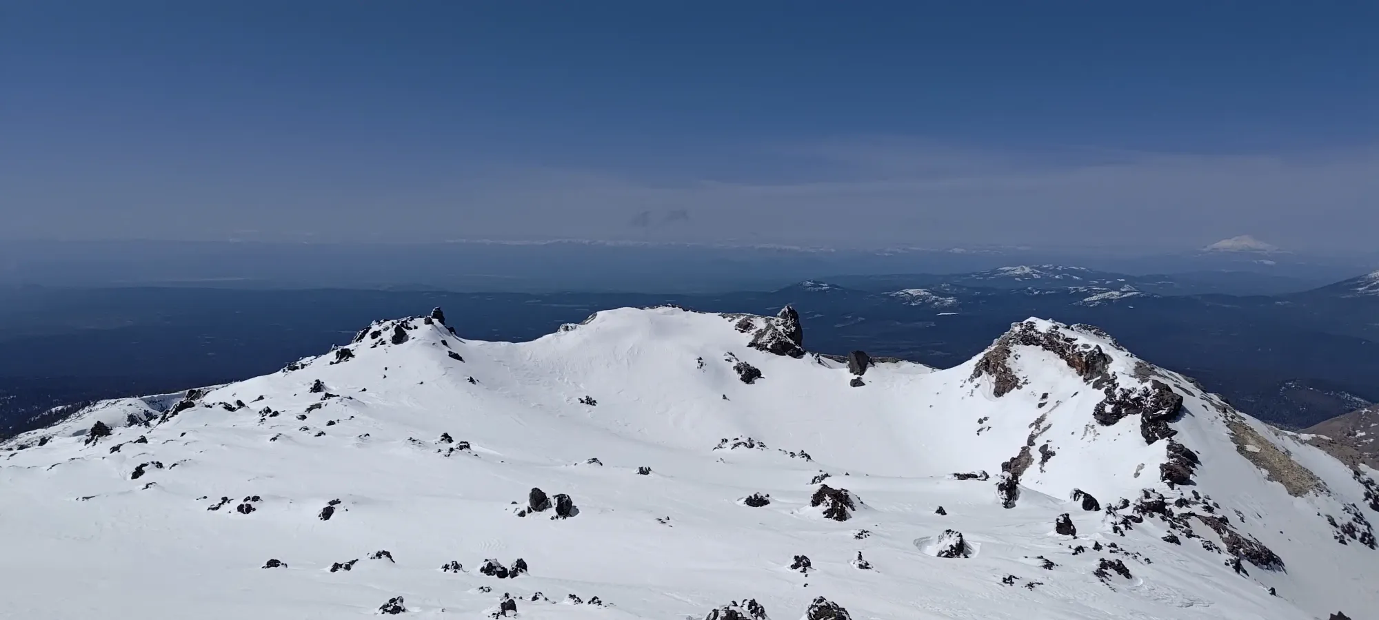
After I was done on the summit, I made the ~10-minute walk back to the other side of the crater rim, sent Eric a text that I was transitioning (having cell service was convenient), and got ready for the still-icy ski down.
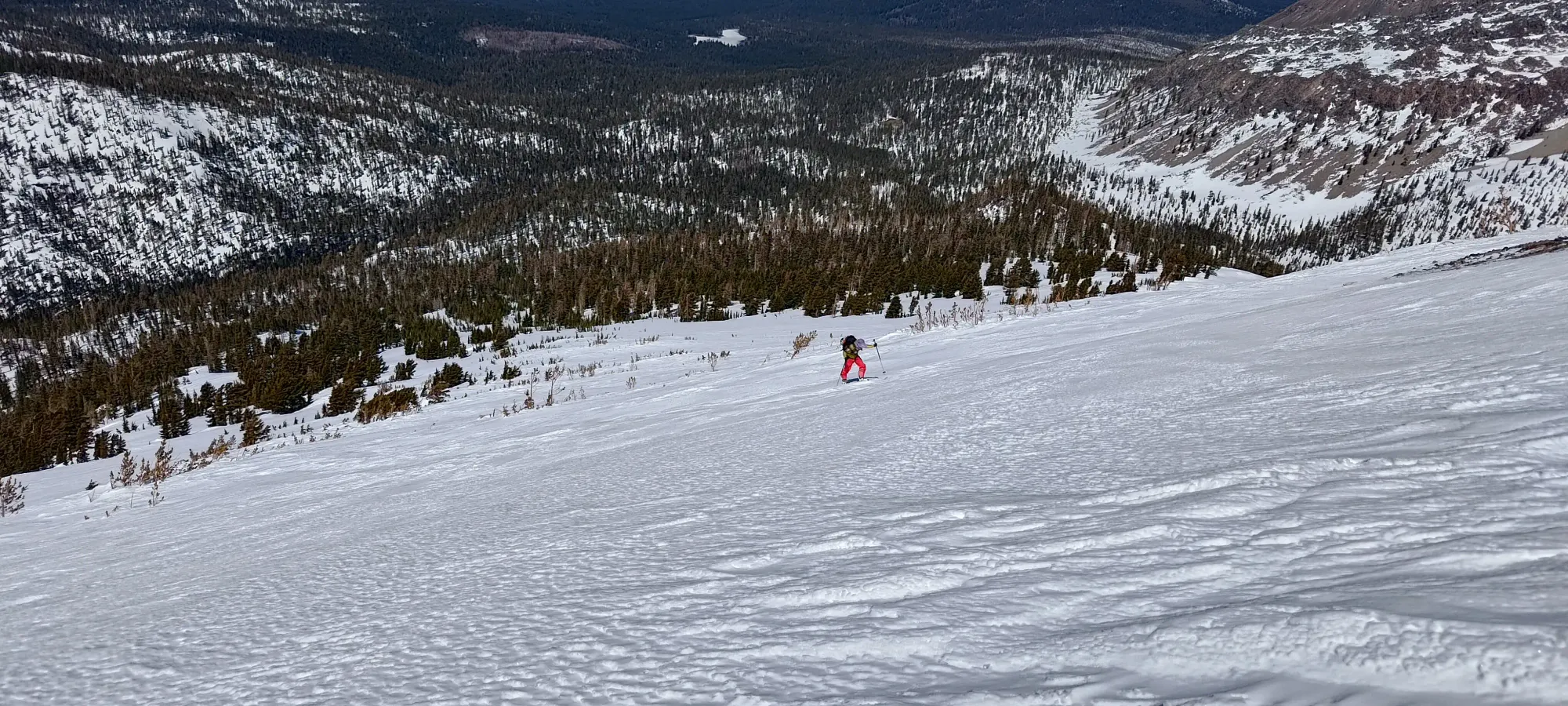
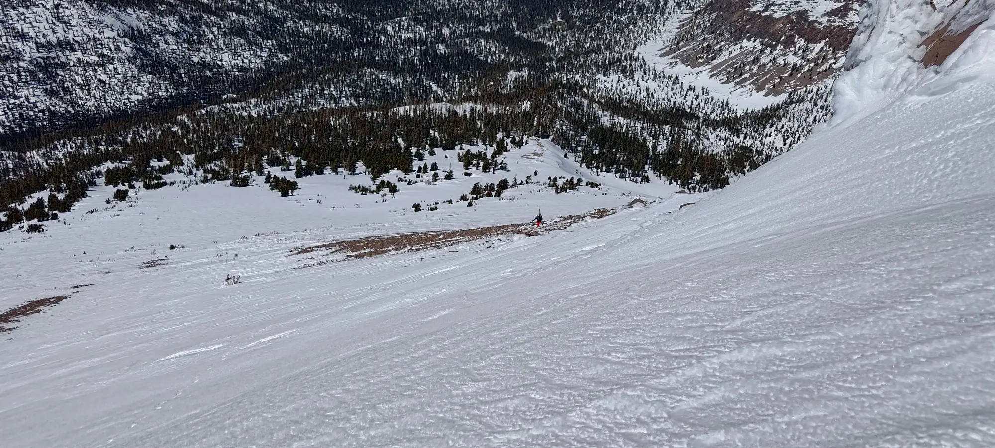
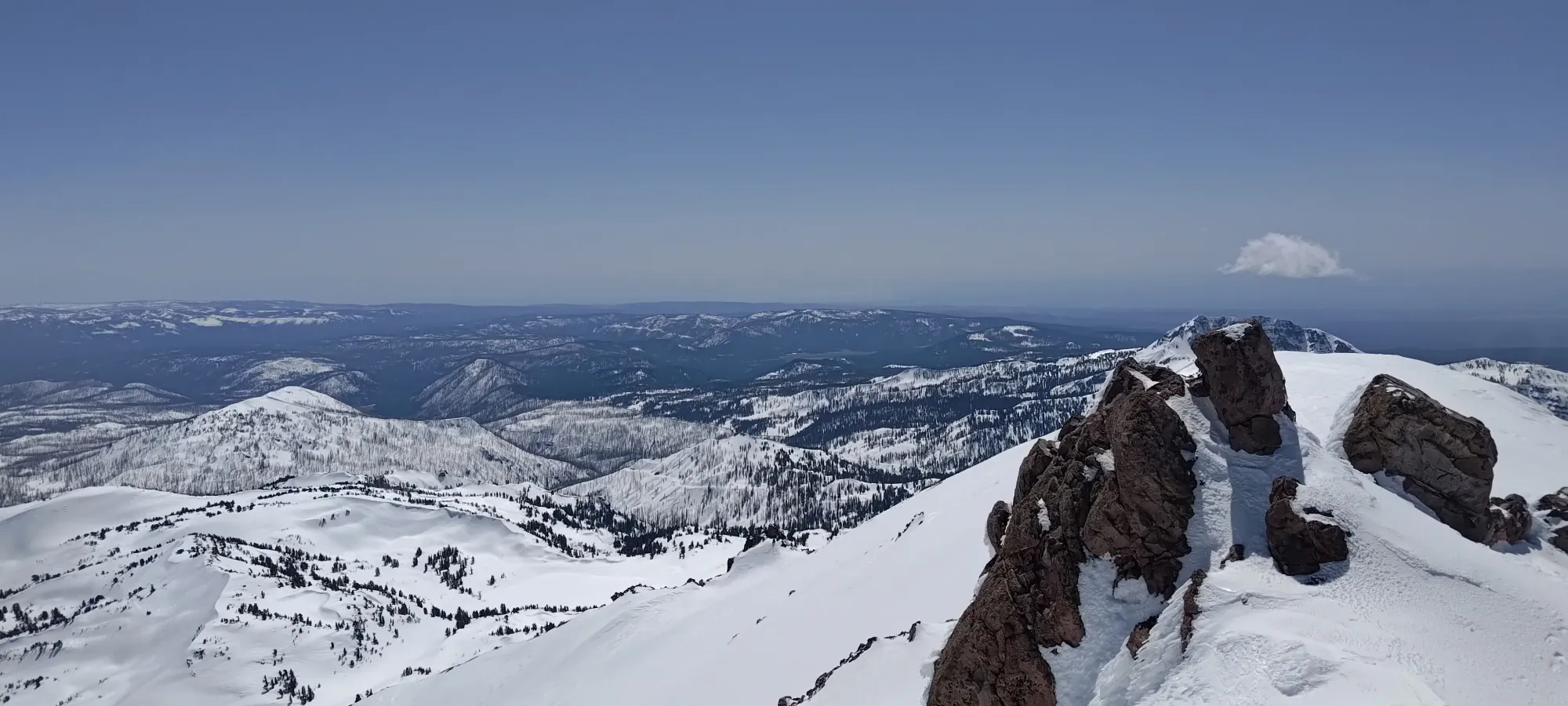
After some more careful turns through the gnarliest, sharkiest bits at the top, things opened up nicely, and I could start linking some turns on the way down. It turned out I went one snow patch to skier's left of where I came up (and where Eric was waiting), so I made a quick call to let him know he could ski down and I'd catch up once I could see him lower down, and started my way towards him.
Some careful skiing through the sharky upper mountain
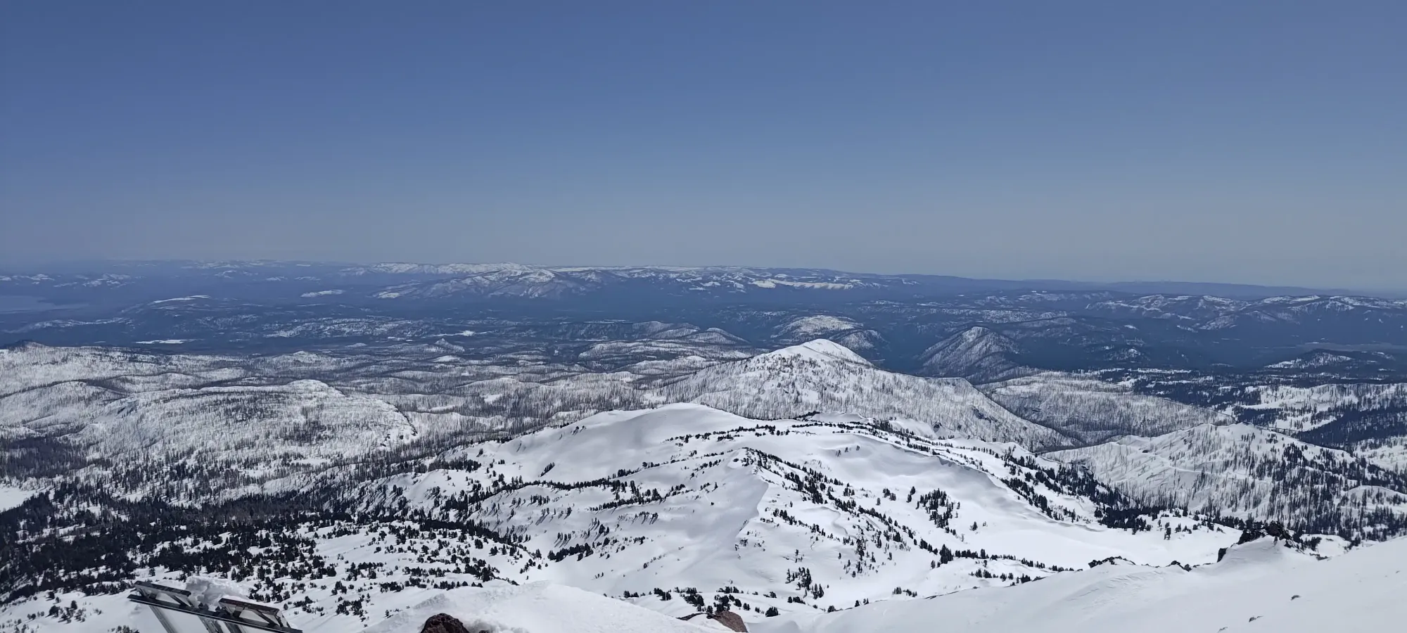
As we got more out of the rocks, the snow got softer, but sadly it was still a bit bumpy from wind and melt-freeze. Once it got smooth, there was a very slight amount of decent corn before things started to get sticky as we got back into the forest. Not the best timing I've ever come up with, but hey, it's still better than walking 🤷
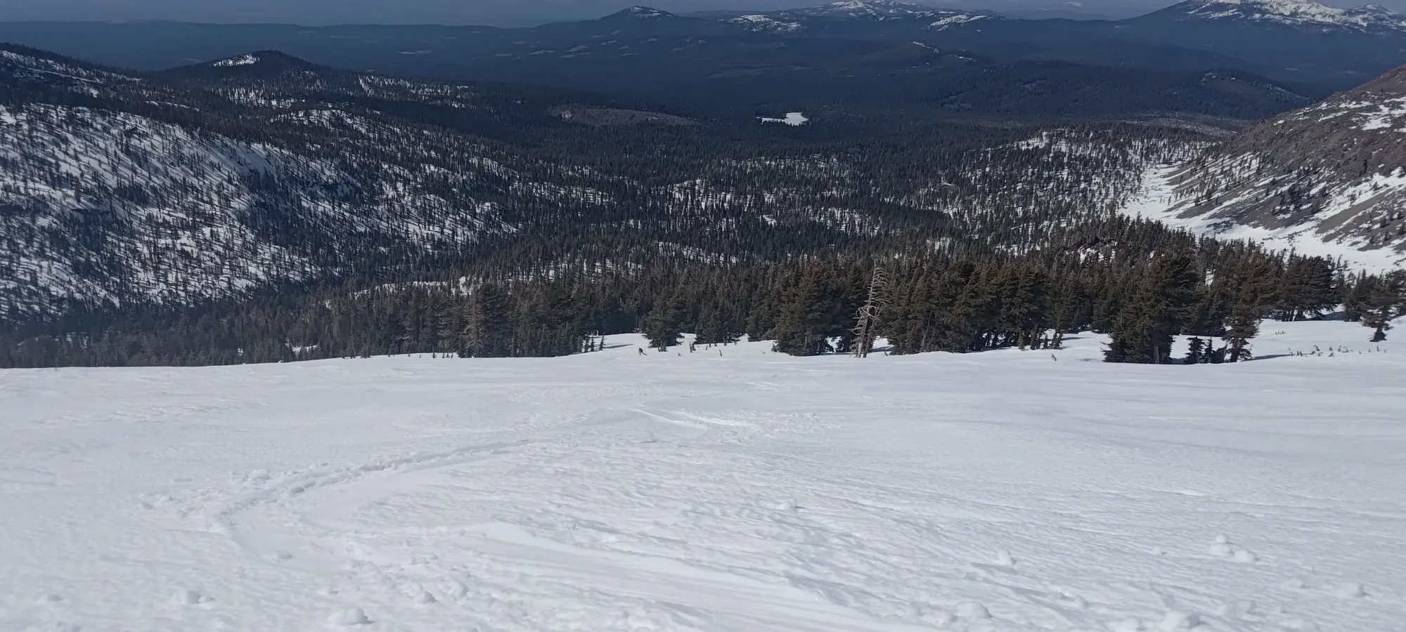
While the treed section was quite sticky, it was, at least, fairly predictable, so other than some quad-burning to try and stay upright, I had a good time until we got to the flats near Manzanita Creek.
In pure winter, the snow should be fast enough to largely just ski down, even if a decent amount of that might be straightlining. With the wet snow we had, though, we had to do a lot of pole-pushing and shuffling with unlocked boots to get back to the trailhead. Especially between 2000 and 2050m, we had a couple sections where we had to unlock our boots and shuffle along to get ourselves back to hills that went down 😅
We did our best to keep the skis on for the way down, and even managed to get ever-s0-slightly past the trailhead by sticking just to the side of the road 😄. We also saw a park ranger driving by right around this time, who (rather rudely 😜) didn't even offer us a ride back to the car!
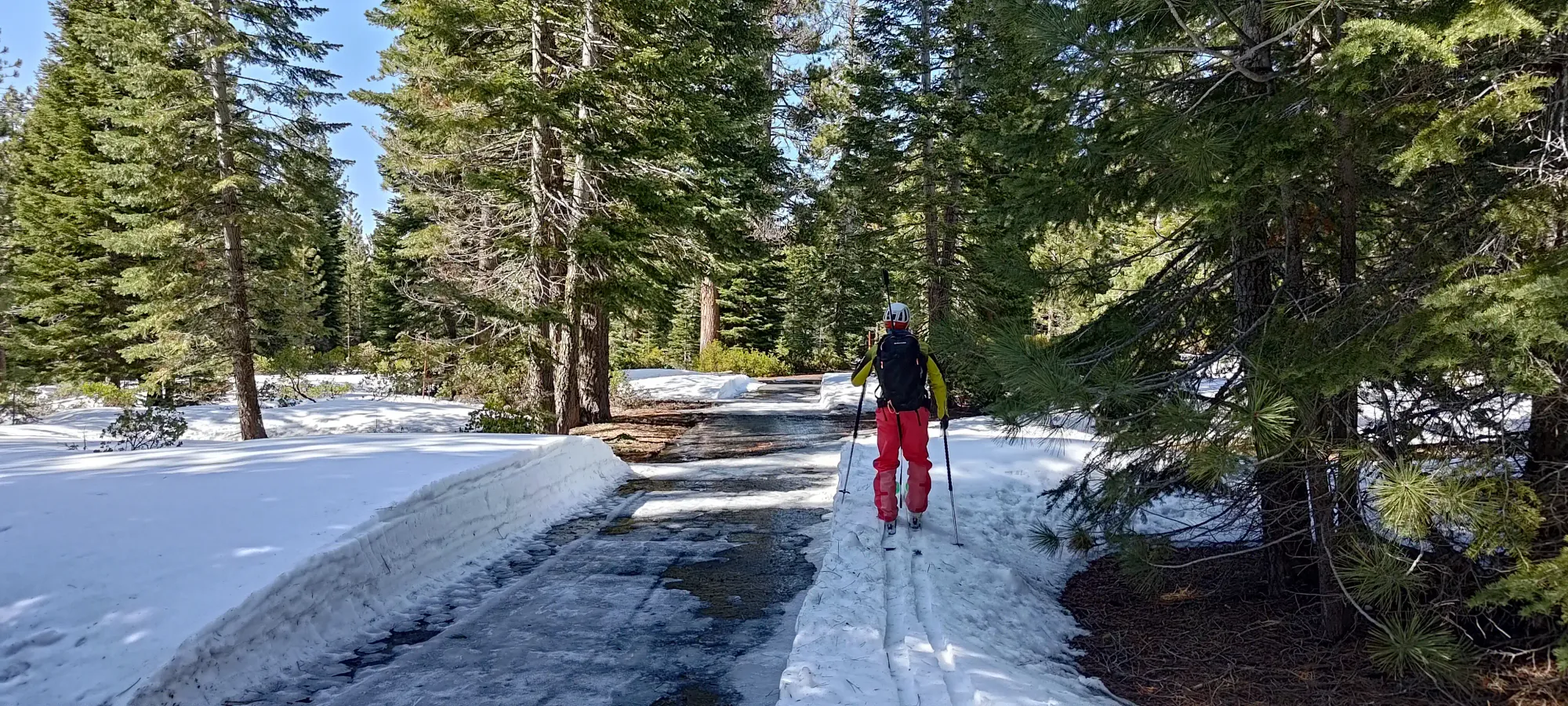
We had about a kilometre to walk along the road back to the final snow patch leading to the bridge over Manzanita Creek, which we absolutely skied for the extra 200m of distance we could 😄, and then we were back at the car, 18km, 1400m, and a bit under 8 hours later.
I got the summit, and skied to the parking lot, so I can't say this trip was a failure, but it was definitely the suboptimal consequence of my location, the time of year, and the weather conditions that existed at the time. I theorised this route for a winter ascent when I first considered it, and I think that is where it would shine the best. The California snowpack, more often than not, will present plenty of avalanche-safe opportunities to ski, and cold snow would do wonders for making this route purely pleasurable. If anyone is considering repeating this trip, I'd urge aiming for January to earlier March as the time to do it, while the snow is still powder and the sun hasn't had its way with it. I'm still happy to have another ultra, a cascade volcano, to have skied it, and with a friend! I have enjoyed plenty of solo missions, and I'm sure there will be more, but these are best experienced with a party.
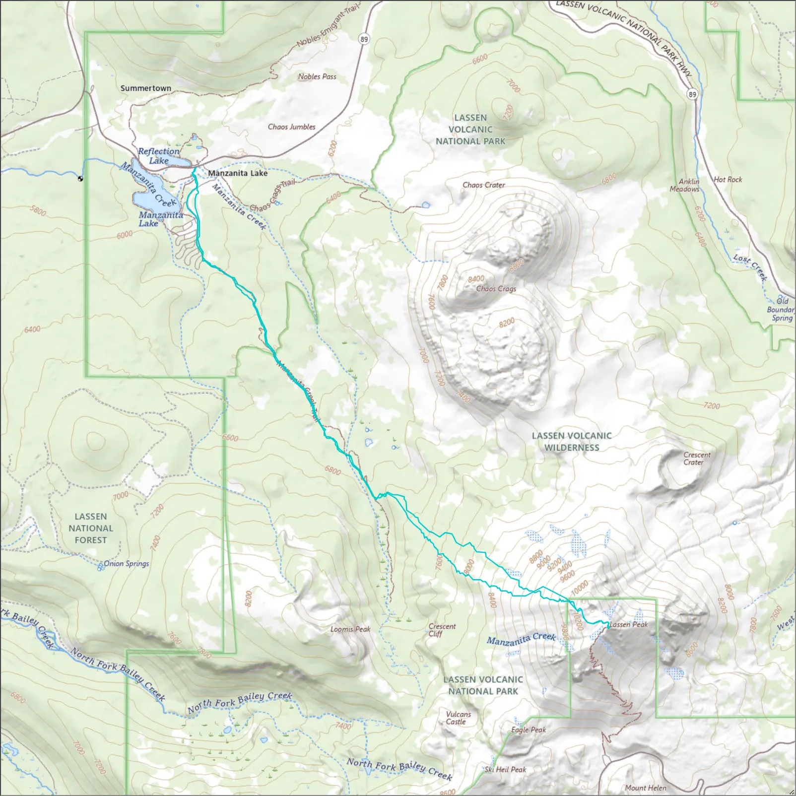
GPX Track + Map