Lady Peak - August 20 2022
Cheam Range, Chilliwack, BC
2178m
After getting halfway up Mount Cheam with my friends, and going slower than I expected, I decided to bag this before finishing Cheam, and split off on my own at about 1750m elevation; this TR picks up from that point in the former.
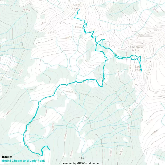
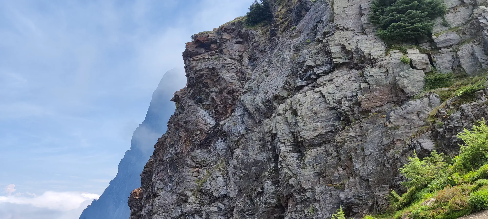
After leaving my group behind, I picked up the pace a bit trying to ensure I didn't make them wait too long as they went for Cheam before me. I checked out the viewpoint just off the trail where it forks off to either Lady or Cheam, took a look at the cliff to my right where the peak lay, and realized "oh the trail isn't actually here", and made my way back to the real, far les exposed traverse on the forested part of this initial mound.
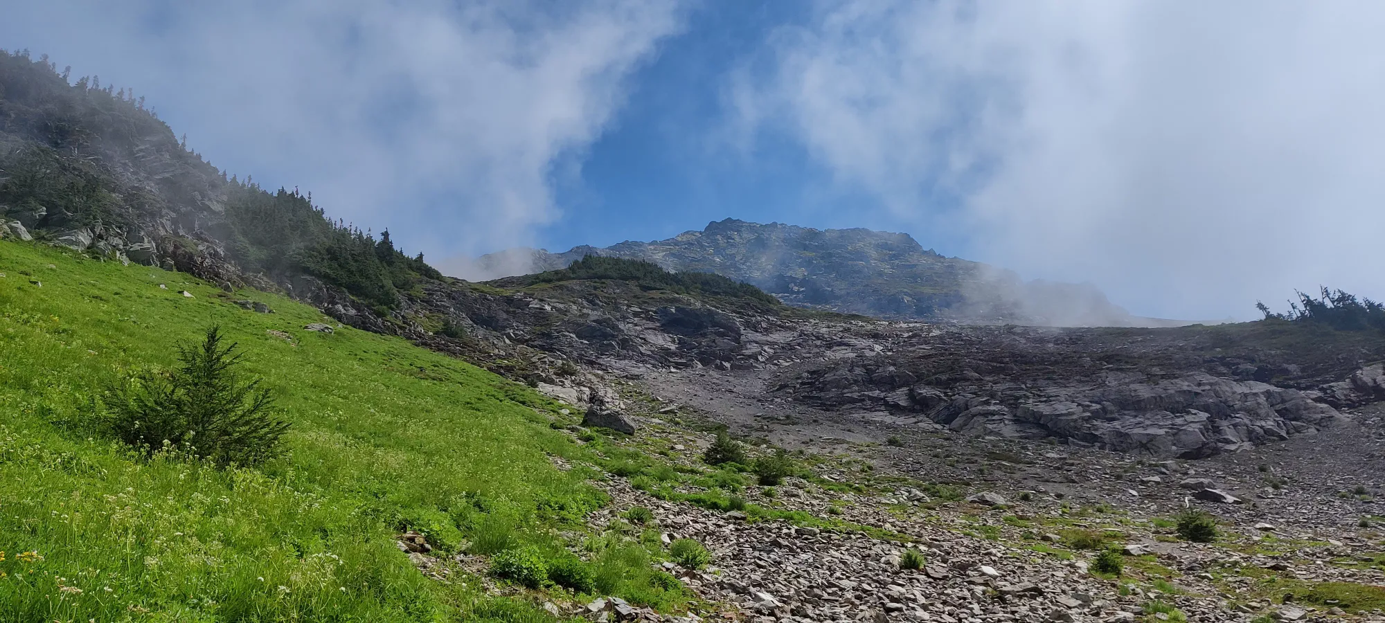
Circling back and following my GPS a bit more closely, I located the path, a narrow and slightly overgrown trail cutting up and across the above bump to the more open western face of Lady Peak. 10 minutes of walking across this slightly-lopsided trail (it wouldn't be hard to fall, so take care here despite the easy grade) later and I exited into that western face. Here, the grade steepens as you cut directly up the face vs the more meandering Cheam trail, so I started getting tired a lot faster. For some reason, I was also just more tired than usual. Not sure if it was my body trying to heal/recover from my rib injury, not being as hydrated as usual since my car water was empty on the drive up, or sweating more in my sweater than I'd have liked, but I wasn't going very far between breathers.
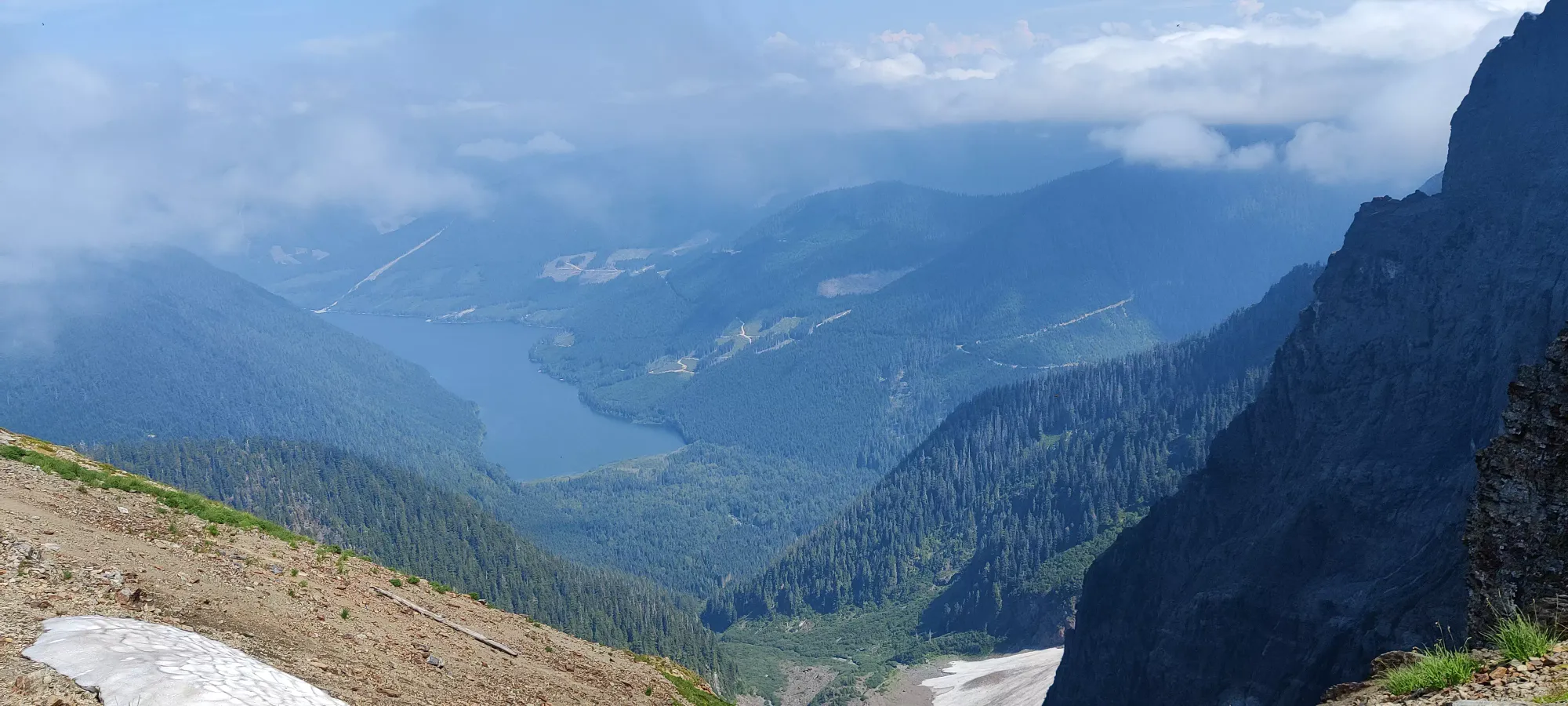
Nevertheless, I pushed on, and in about 10 minutes I'd gained enough elevation to get a good view down at the trail below. This area is mostly loose dirt and small scree patches, though not nearly as much as most Rockies peaks. Walking up isn't too bad, if you "step well" and don't have terrible shoes you won't slip much. I saw my first real snow patch shortly after exiting the forest onto these slopes, and got a good vantage of the hike I'd done to that point here.
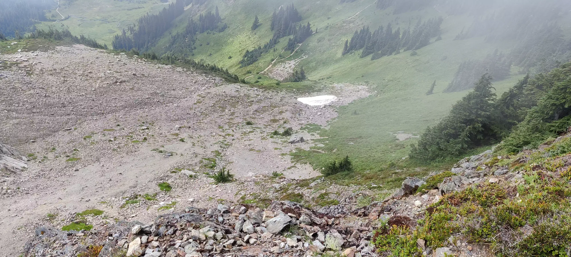
After a bit more of the same walking, you get to a short scramble section. It's nothing major, the rocks are solid, exposure minimal, and holds good so just a bit of class 2. It serves as a nice break from the steep dirt-walking, and I welcomed it. Once you top that out, you do a few more minutes of walking and you crest the final "false ridge" before you can see the path all the way up to the summit. This last area, even more so than before, is riddled with random paths people have carved up the face, so it's very much a "choose your own adventure" sort of thing. None of the paths are wrong, but keeping to climber's left and following my route up is a pretty safe bet. It's not quite as direct, but you avoid more scrambling and any exposure. There's also more scree here, intermingled with more big steps in the rock, so it's a bit more tiresome to slog up. Thankfully, like the entire trail, really, it's not that long, so you don't have to suffer a whole lot. Once you're about 5-1om from topping out the ridge, you have to scramble up a slab of rock, but there's enough horizontal cracks that you get good purchase the whole way up.
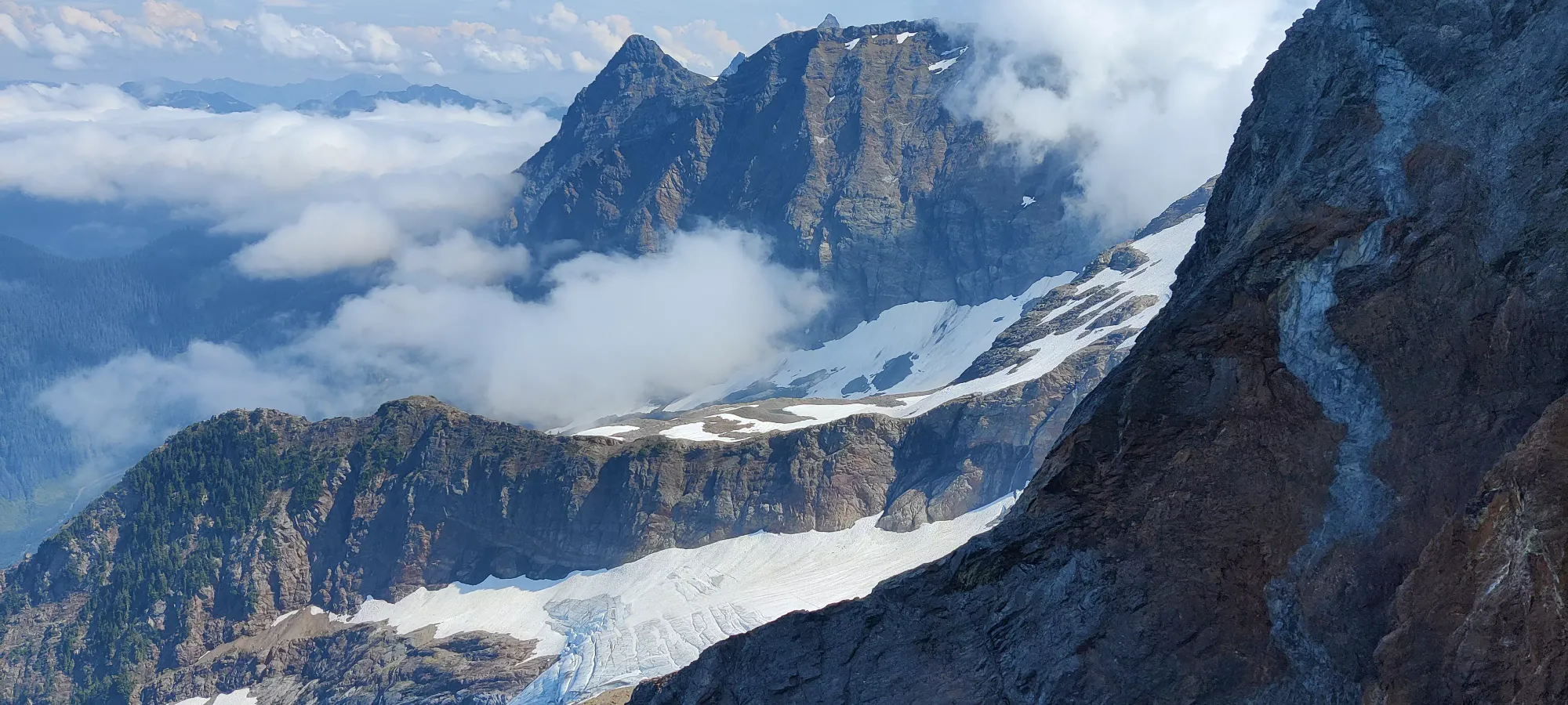
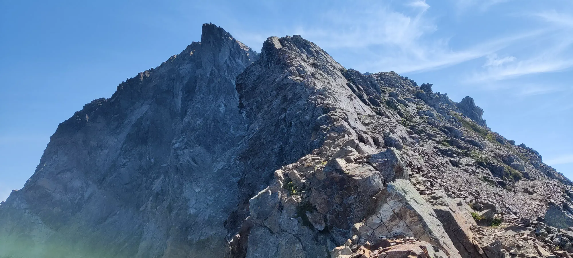
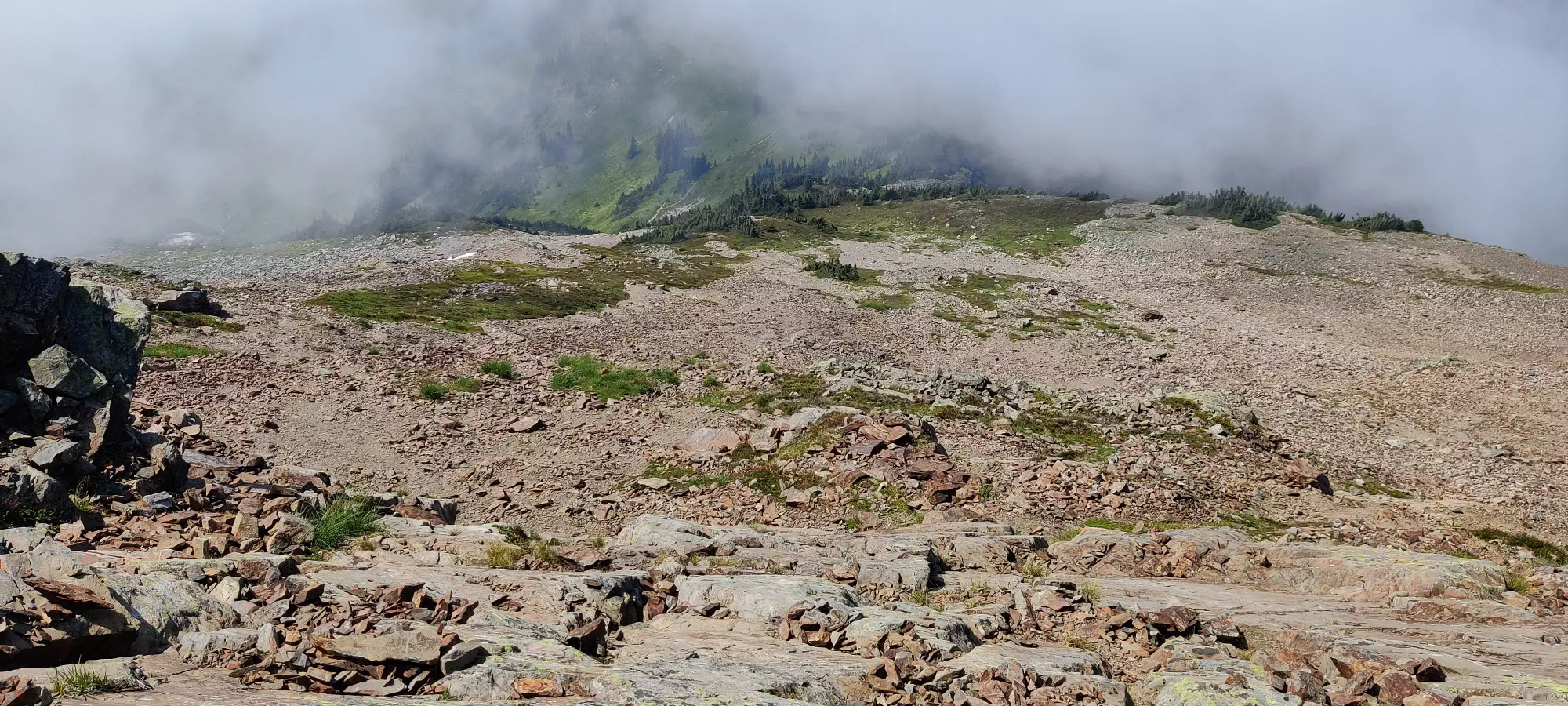
Once on the ridge, it's about a 5-15 minute scramble depending on your tiredness and boldness to gain up toward the true summit. There's not much exposure, and you don't have to use your hands very often. There's also plenty of helpful cairns to guide you through the non-obvious sections. After traversing on the west side of the ridge for most of the way, you cut across just below the summit and go up a gully on the east side to top out.
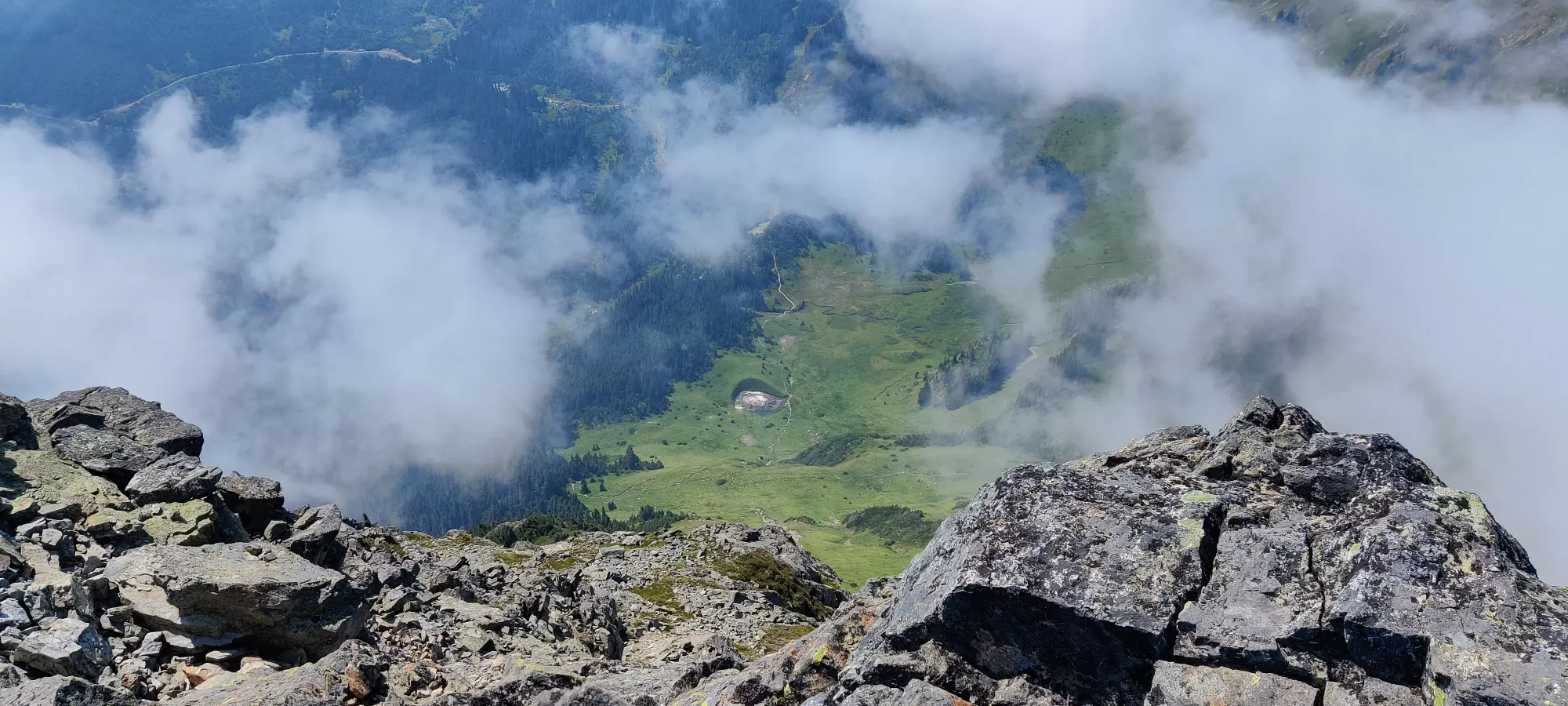
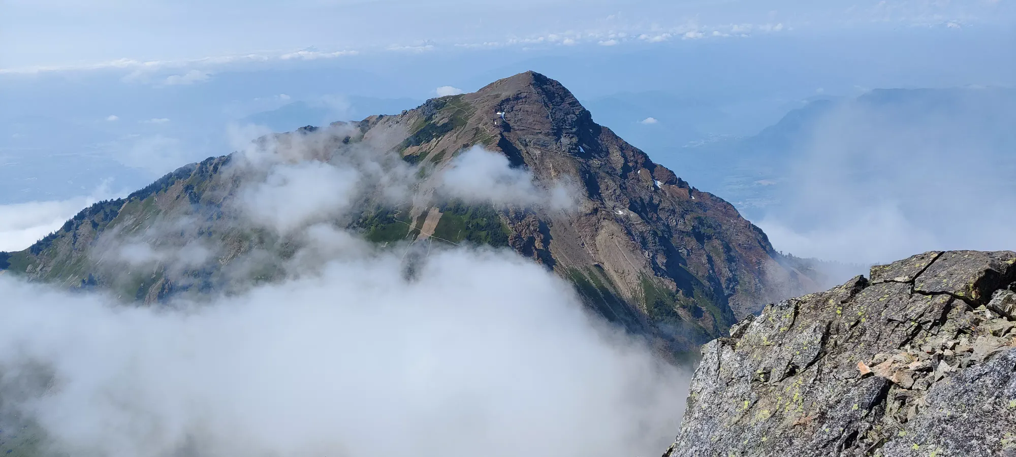
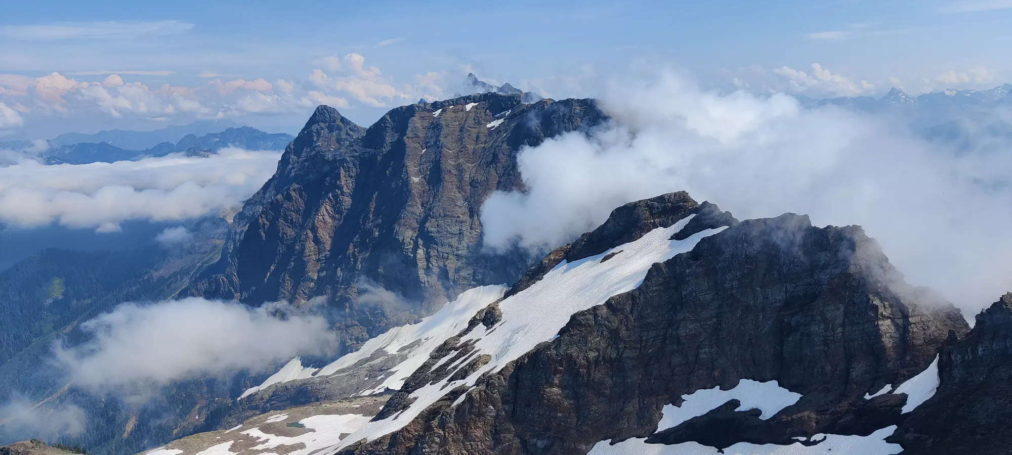
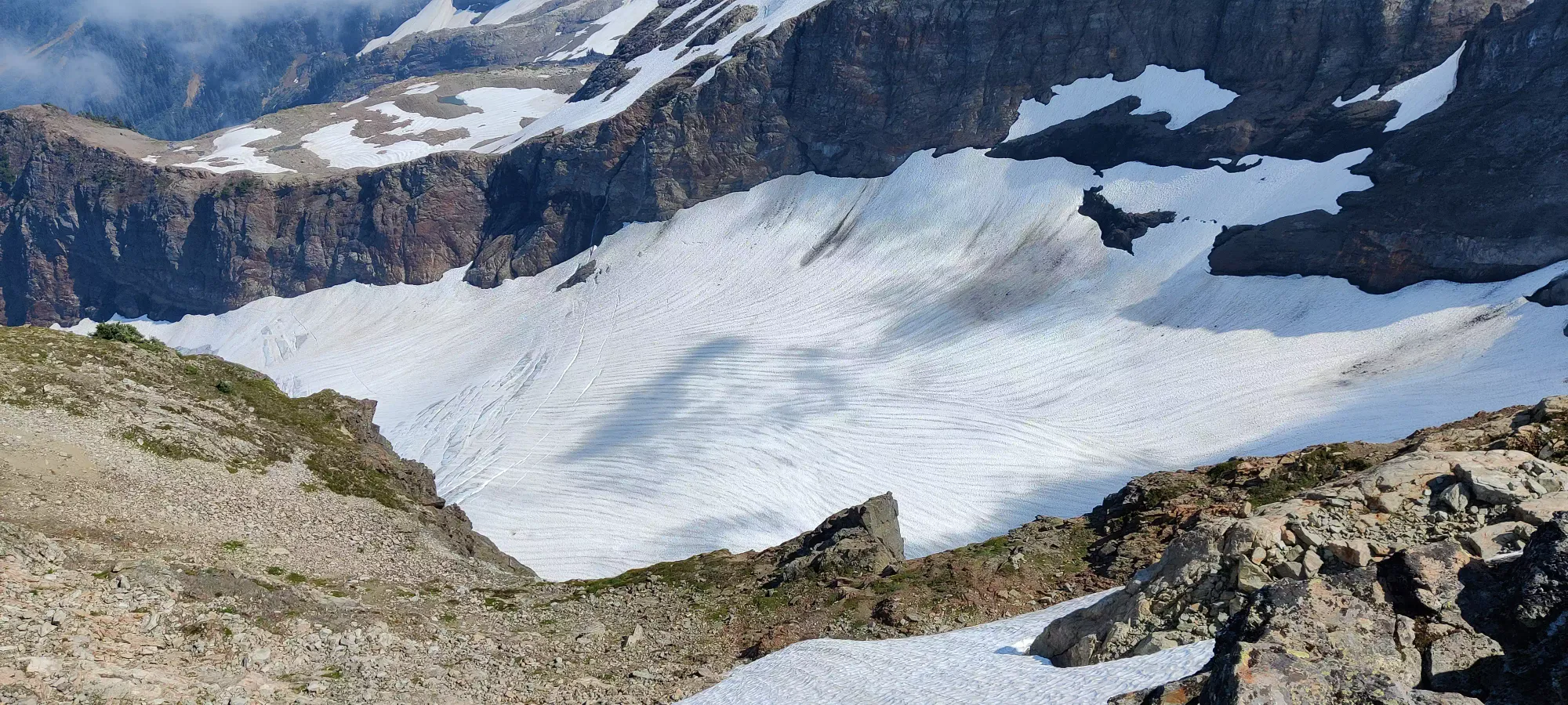
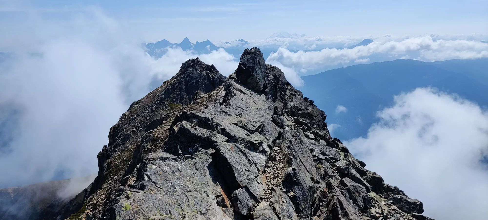
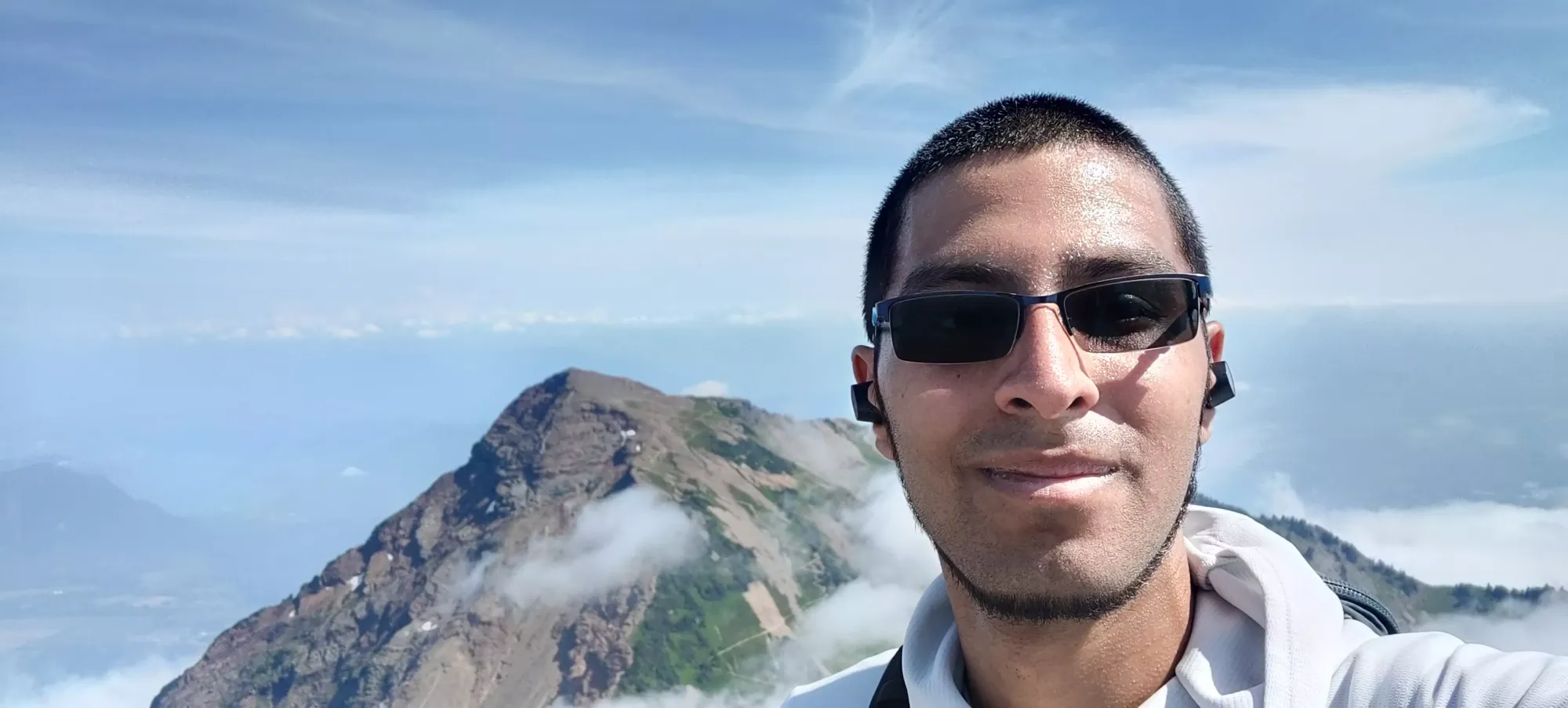
As seen above, there's a point along the ridge a few metres beyond the point I initially believed to be the summit, so I had to go and investigate. The couple minutes of walking the ridge were not eventful, until I got right up to the rock feature. If you took a big step down and made some exposed moves on the left side, you could get up it, but that was pretty unnecessary class 4, so I just went around on the right instead. The footholds weren't as nice, but the rock was jug-central so I just hung off my arms to make a quick couple class three moves to get around and on top, and was rewarded with a rock that may or may not have been higher, but was conveniently a very nice place to lay down, with a good place to rest your bag and your feet as you take a load off. I relaxed for about half an hour and had a nice chat with my mom while I sat there, as the signal was pretty good at the top.
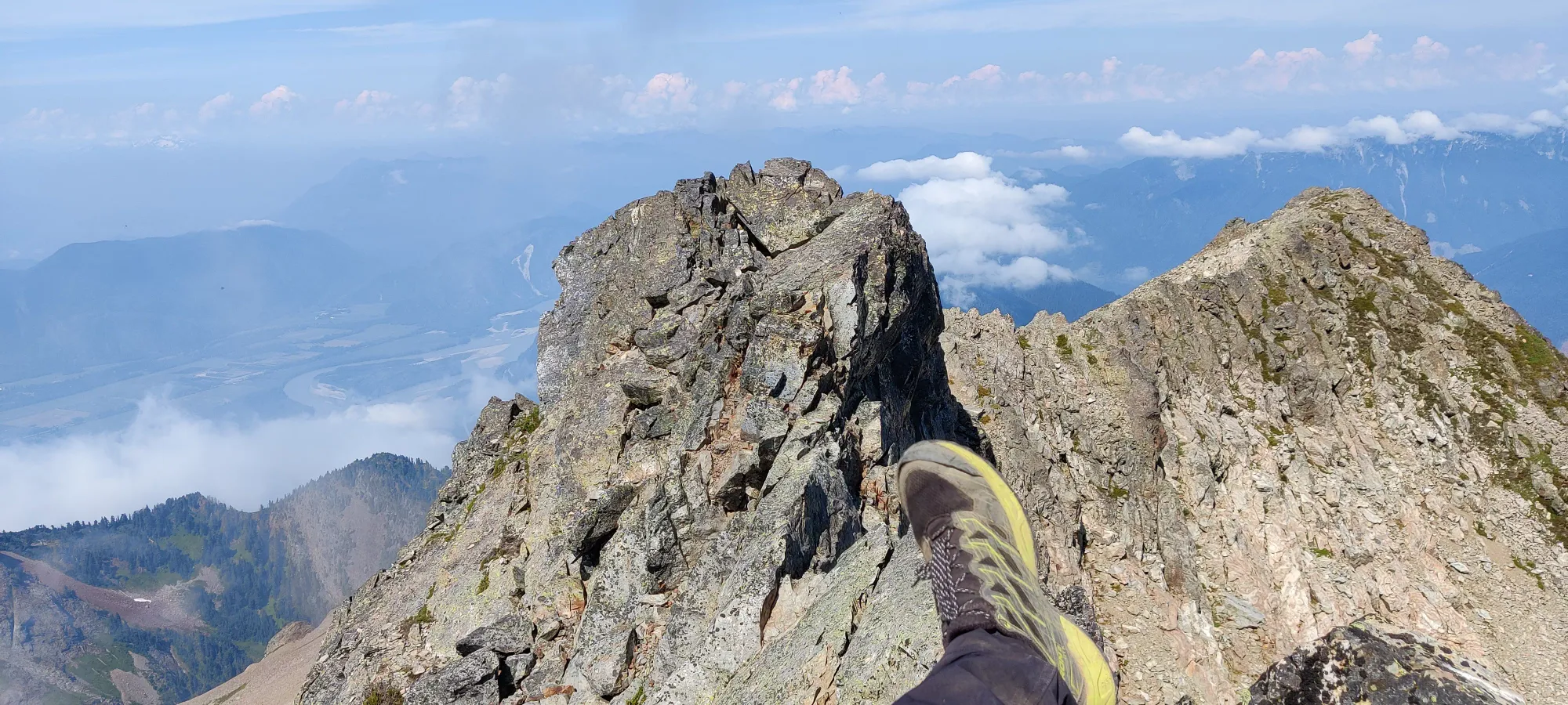
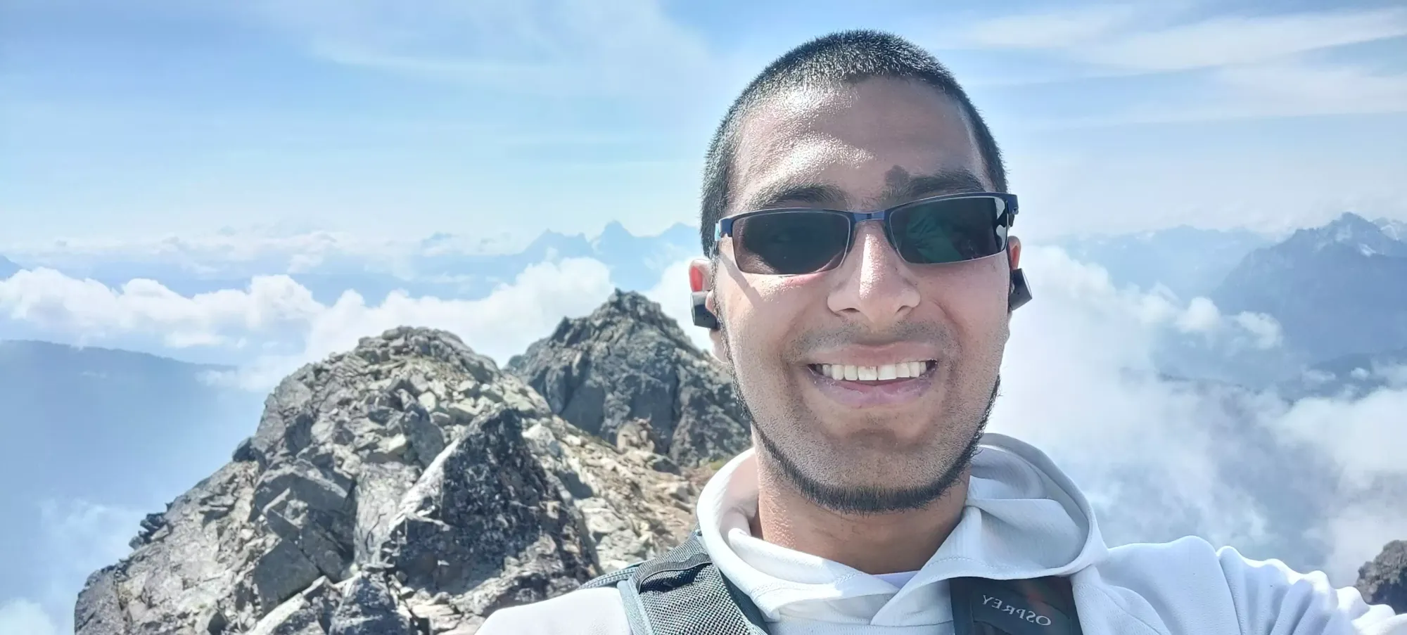
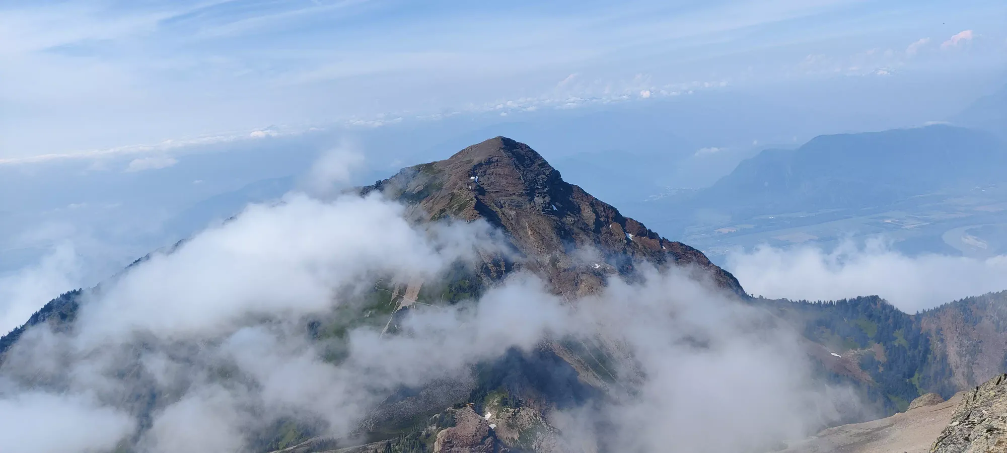
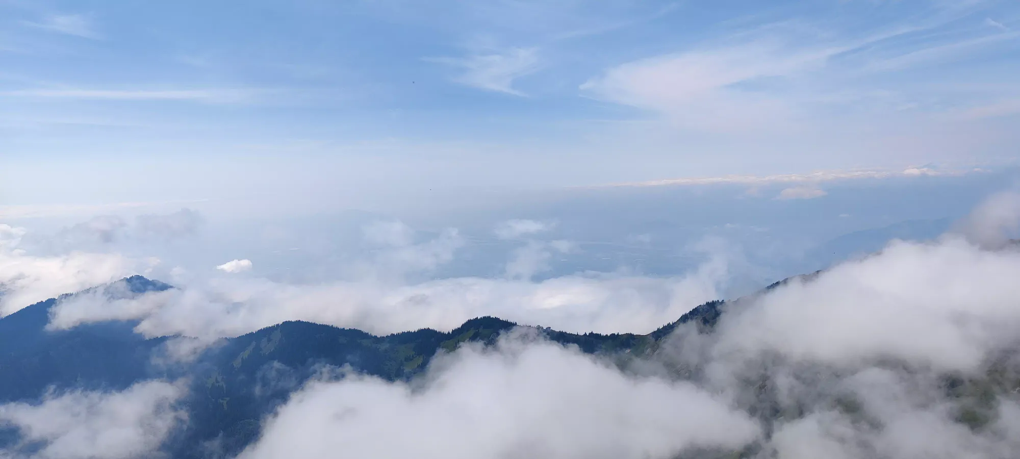
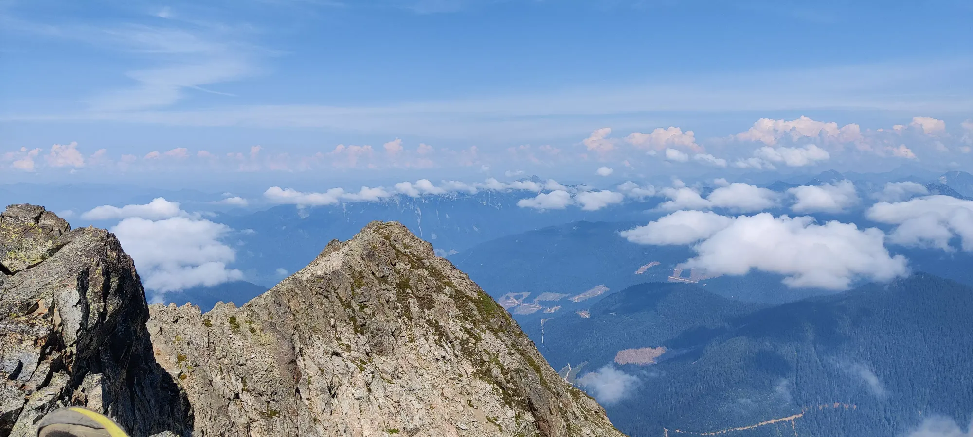
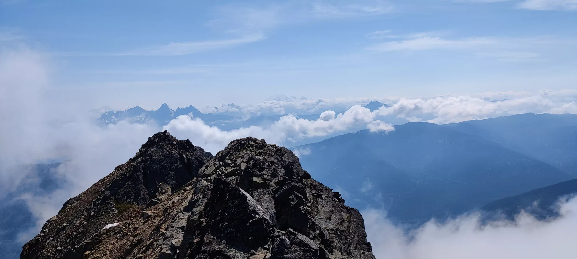
After relaxing for a while, I started heading down at about 3pm. The descent wasn't super interesting. I scrambled down a slightly more direct route for a while before it got to a point where I wasn't sure if the terrain would keep being negotiable, so I had to traverse across the slopes to regain the trail. Thankfully it wasn't too difficult, so no real harm done. I saw the first (and only) other people of the day going for the peak, a pair who'd done Cheam prior and were making their way up to Lady just as I was regaining the trail. They seemed to be a bit lost, so I put them onto the path I took up, which was definitely easier than trying to ascend my route down.
The down-scrambling was pretty easy as there were handholds and ledges galore, then just some steep scree, and dirt. Honestly on the way down I wished for more scree so you could ski properly, but in the latter half, it was mostly just dirt which made things a bit more tedious. I overshot the turnoff to the forest traverse and had to climb up about 10m, but made it back shortly, and made the original fork in about 50 minutes total, where I did not see my friends, and so started my way up toward the summit of Mount Cheam.
GPX Track + Map
