Iron Mountain - September 14 2024
One of a few little hills in Maple Ridge that make for a good trashbagging adventure on a rainy day. It seems the SE side of the mountain hosts some biking trails as well

Golden Ears Ranges, Maple Ridge, BC
369m
Continuing my rainy Saturday trashbagging adventures, I drove from Silver Hill towards peak #2 for the day, Iron Mountain. Like the last peak, there was a more established route up on a trail network, this time on the SE side off of Matheson Ave, but I noticed that 288th on the SW side went higher, and had a dirt road going to the top. On Street View, I didn't even see a gate, so I figured I'd give that way a go.
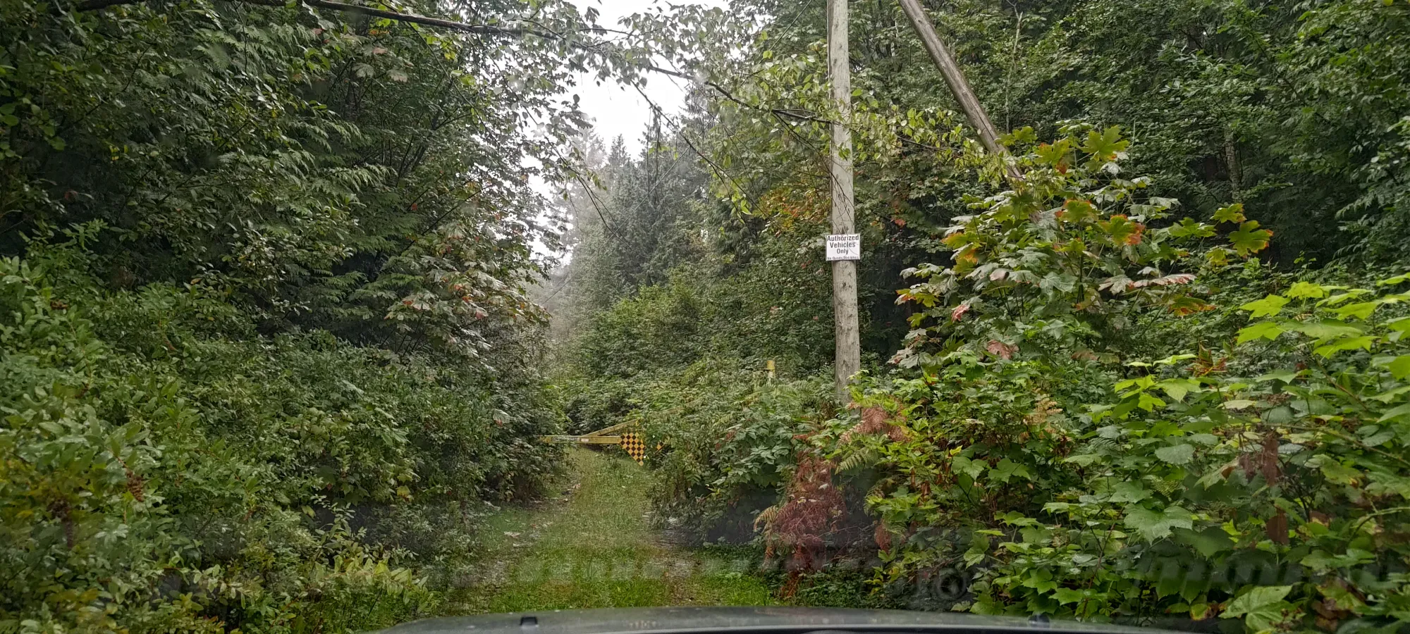
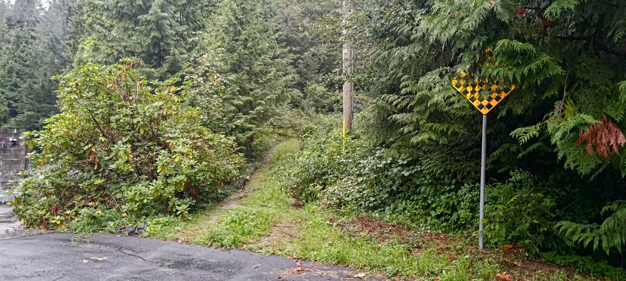
Sadly, once I arrived, while there was no gate immediately at the road, about 10m up the road, just far enough to be out-of-view from the street, sure enough, there was a gate 😞 So I backed my car down the road, and parked in the cul-de-sac, resigned to hiking the road to the top.
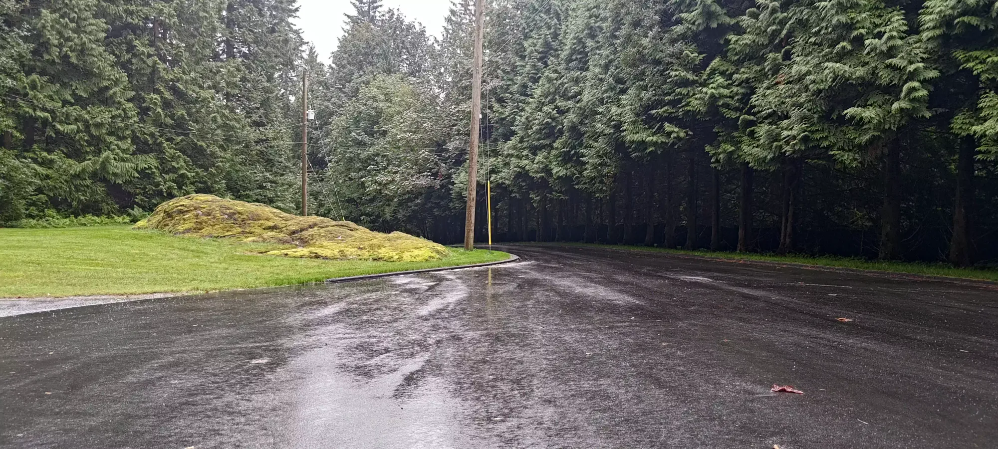
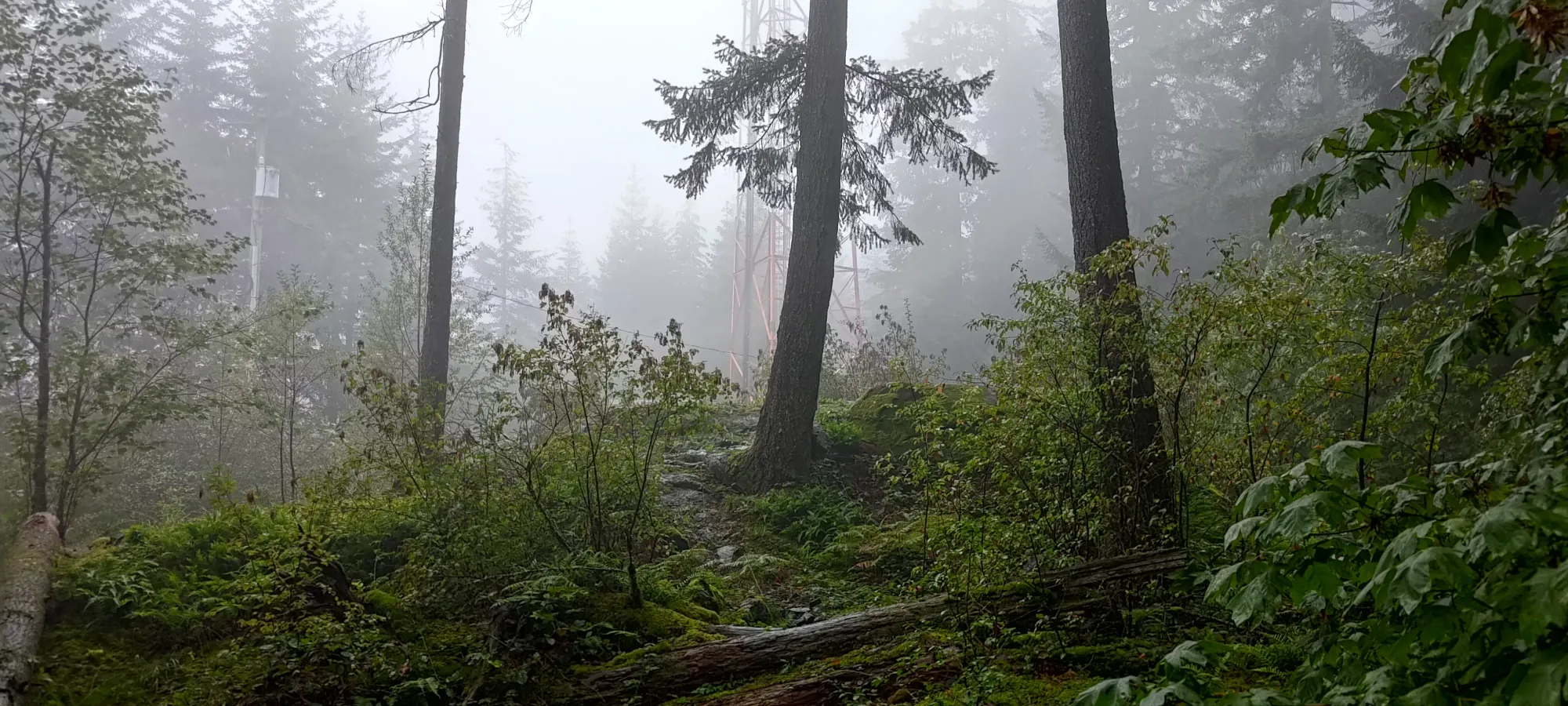
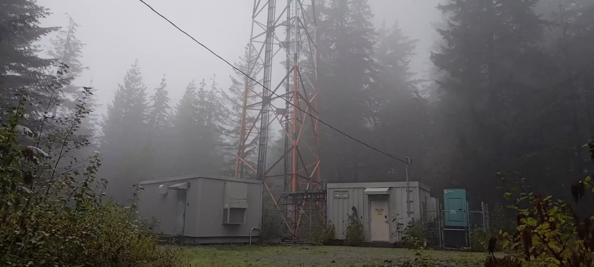
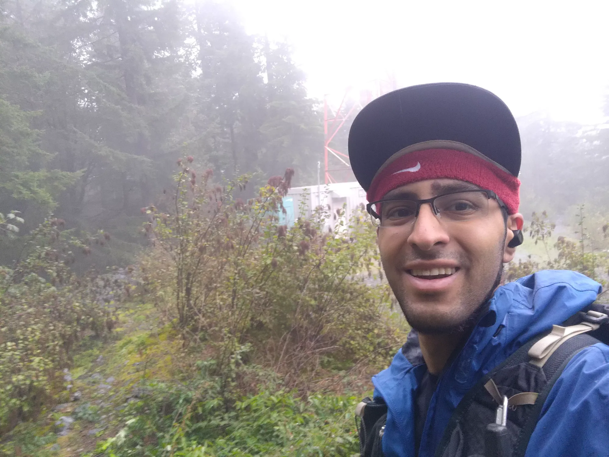
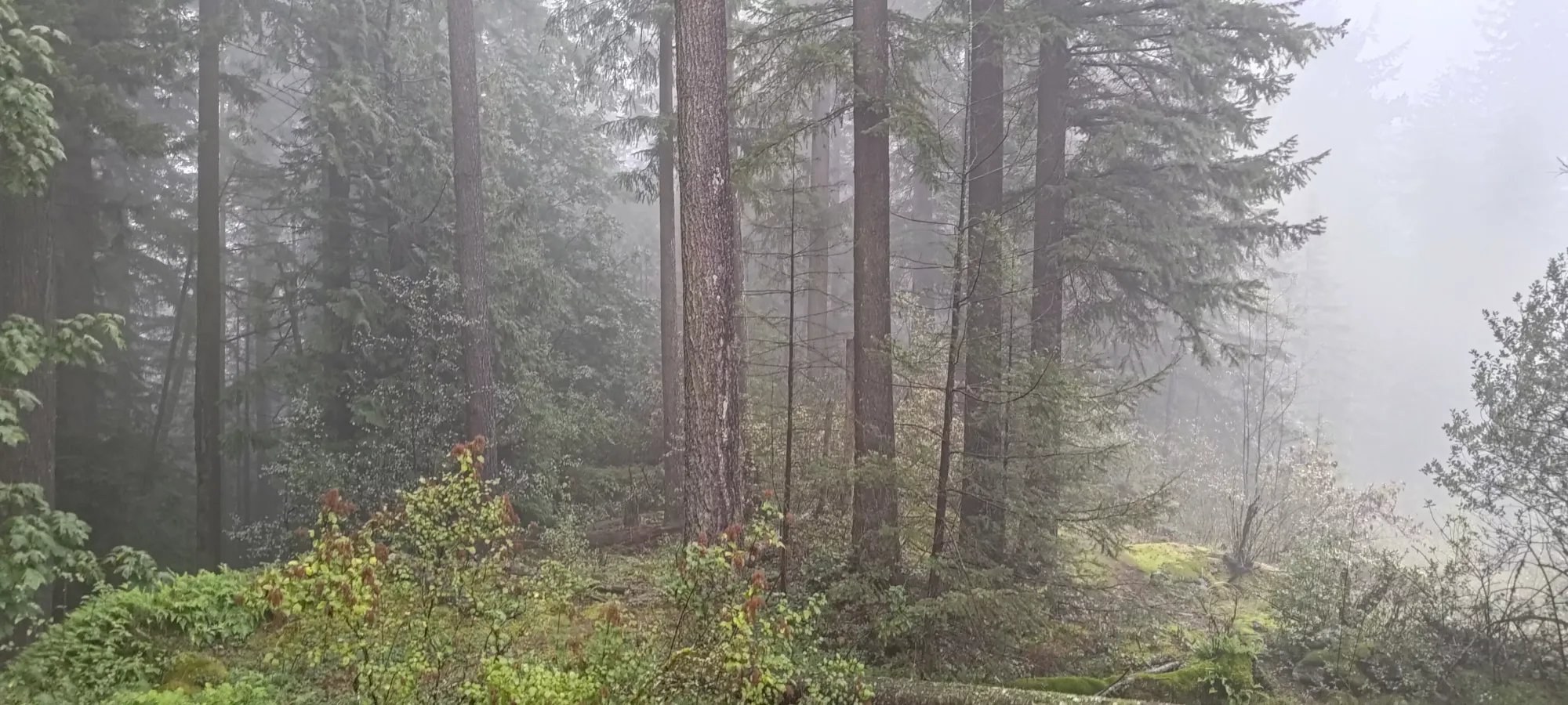
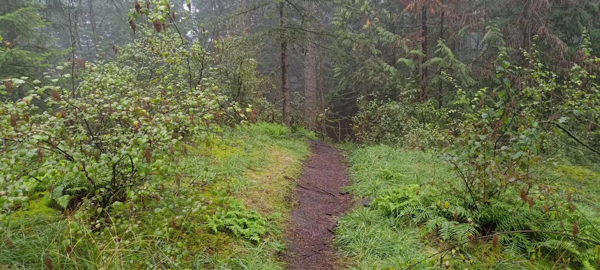
The walk up the road was very uneventful, as it was, well, just a service road. I walked up for about 17 minutes, where I was greeted by a large comms tower, and a small rocky outcropping just in front of it, which appeared to be the highest land around.
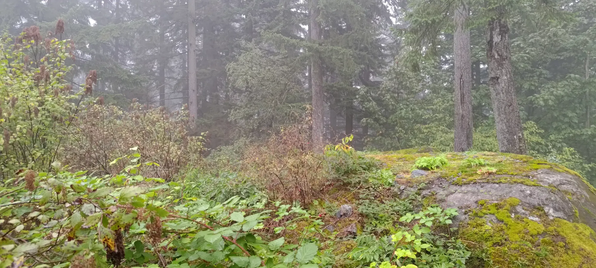
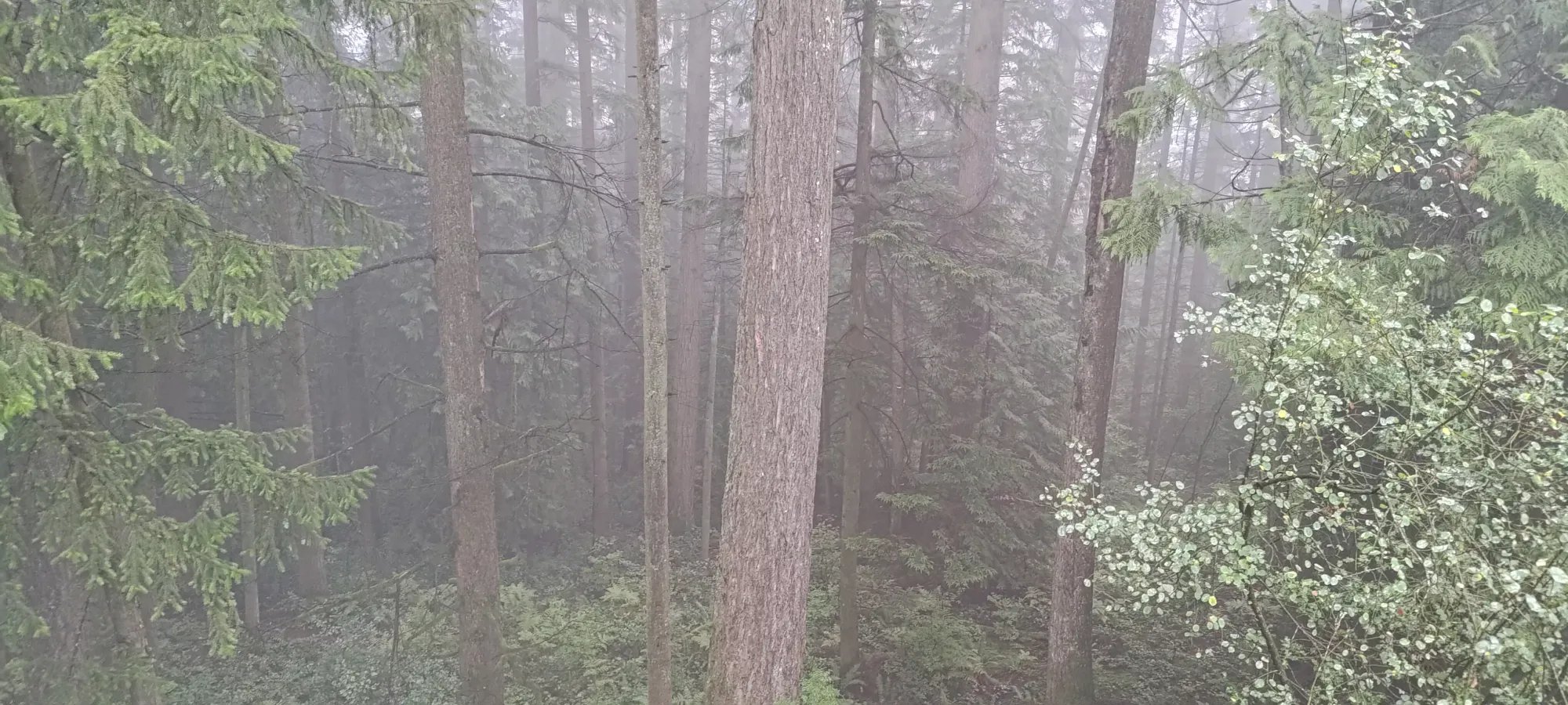
From that point, when I compared my maps to my location, I noticed that I was actually a bit southwest of the high point. I hiked along some trails for a couple minutes, but quickly became confident that the marker on the maps was misplaced, as the forest dropped off fairly quickly in every direction, and especially to the northeast. So, after about 5 minutes of walking around aimlessly near the top, I made my walk down.
The way down was basically as long as the way up, since neither the last peak nor this one was really long enough to tire me out enough to be moving slow uphill yet, plus I had to be careful not to slip on the rocky road surface in the rain. Since it was nearly 2pm when I got down, I decided to play it safe with respect to time (having to meet up with my family on the north shore, shower, and then head out for dinner together), and started heading home, stopping for short pickups of Burnaby Mountain and Capitol Hill, 2 basically-driveable p100s in Burnaby on the way back. On a weekday, it'd be a long drive in traffic from Squamish, so a weekend with some extra time to take a detoured way home was a perfect time to get those over and done with.
With that, my trashbagging for the day was complete, and I indeed made it to dinner on-time (me and my Grandma were actually the first to show up), so hooray for responsible time management on my part! That dinner ended running rather late, so while the weather the next day allowed for more enjoyable/"real" mountains, I had to downgrade the objective to something a bit more bite-sized, but more on that to come...
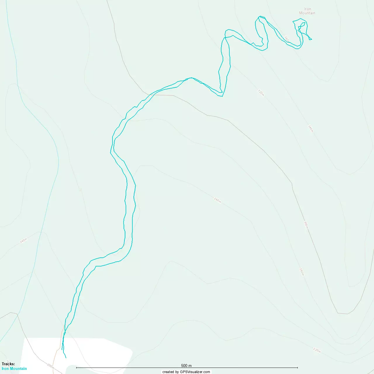
GPX Track + Map