Indian Rock (Washington) - May 31 2025
An unassuming but prominent outcropping in the Simcoe Mountains, this is in a vast area of rolling hills with good forest road access, and is a good bang-for-buck vantage point to look around Washington State


Simcoe Mountains, Firwood, Washington State
1779m
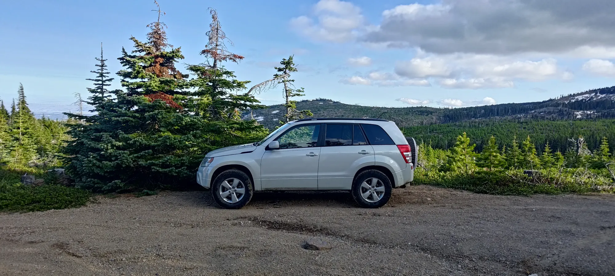
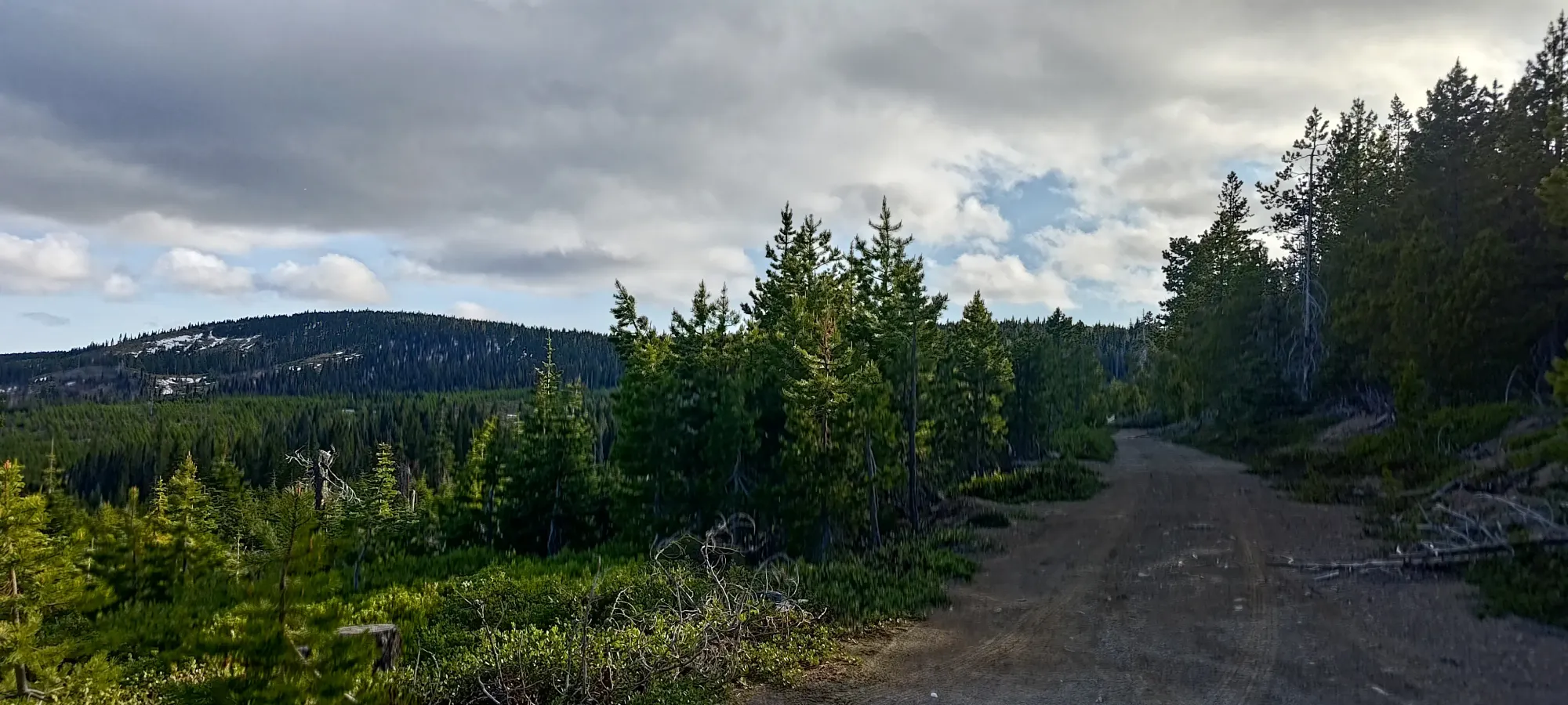
After tagging Amabilis Mountain on my drive to the Washington/Oregon border, the next p600 on the way (ish) was Indian Rock. I pulled off of US-97 onto the Ski Lodge Road, and started driving up. The road was in good shape, without any meaningful obstacles, and I actually found a (vehicular) trail en-route that went up Simcoe Butte partway through, which is a p100, so I of course drove my rig up there (slightly rockier, might not want a sedan up, but any crossover or better should be fine), and got myself a free, drive-up summit before I even got to the main event. Can't be too unhappy with that 🙂

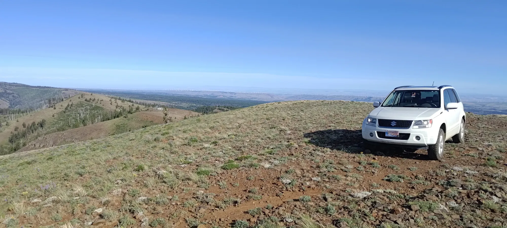
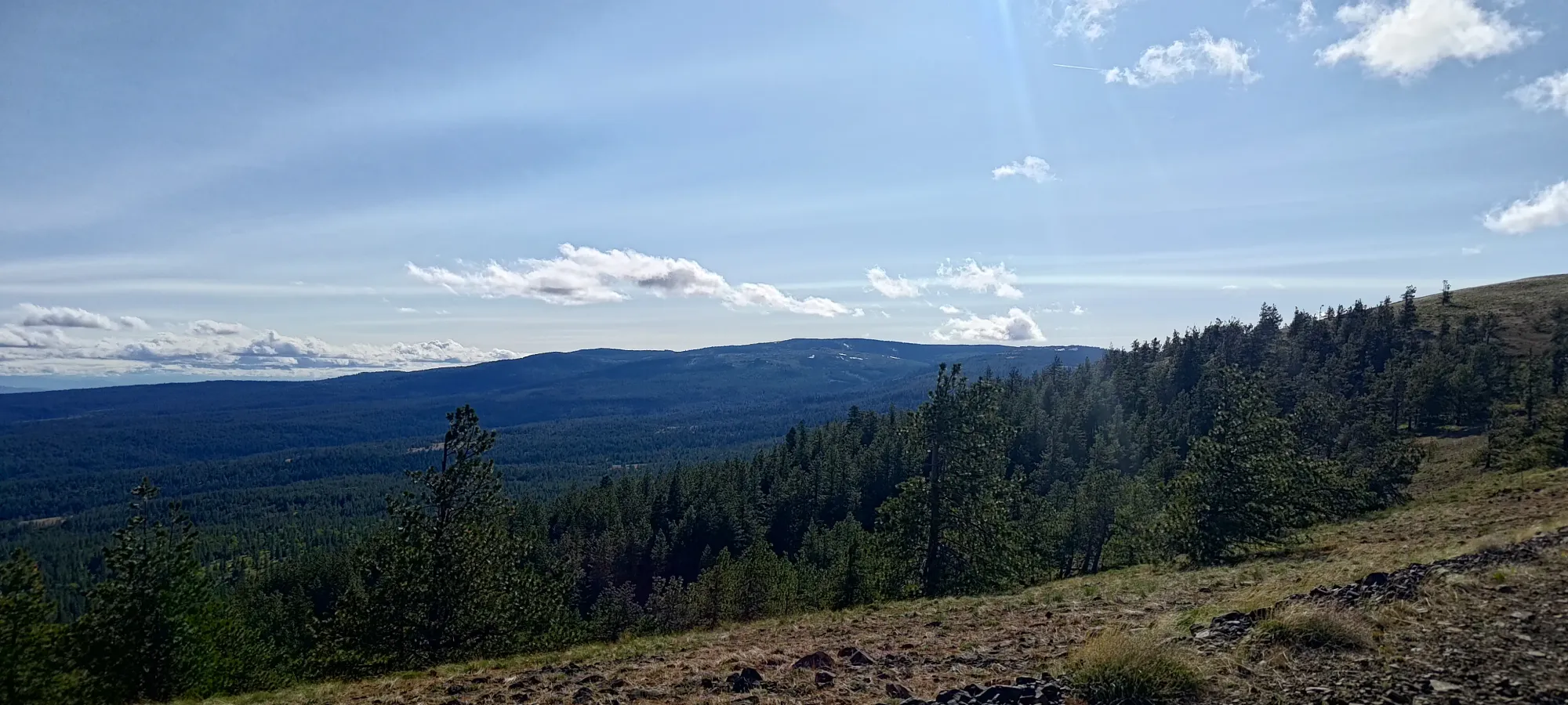
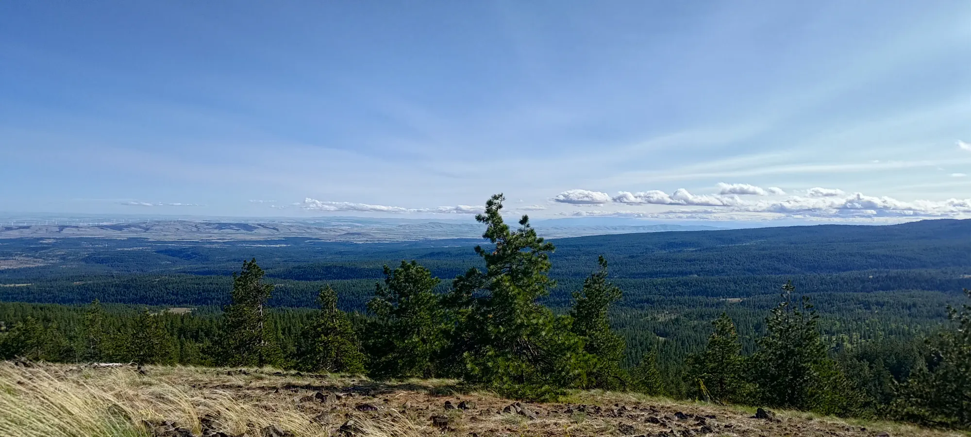
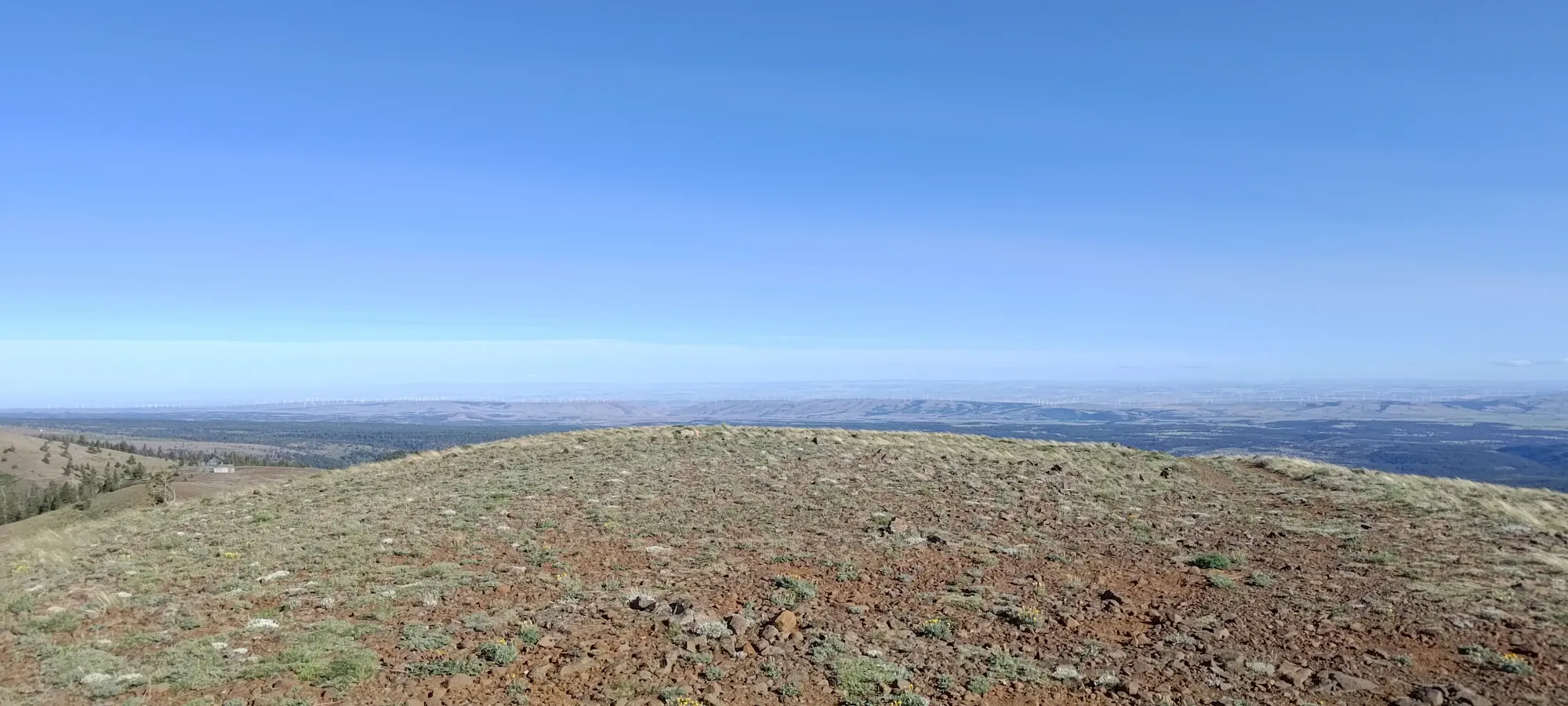
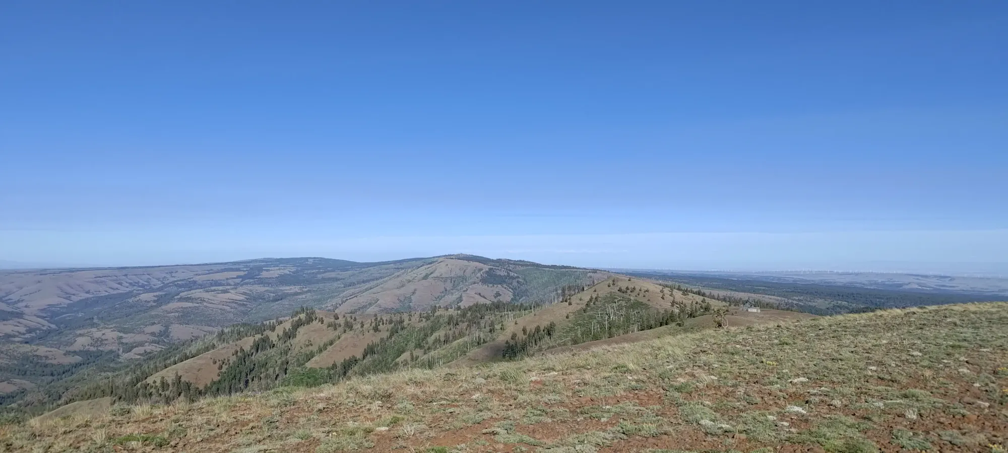
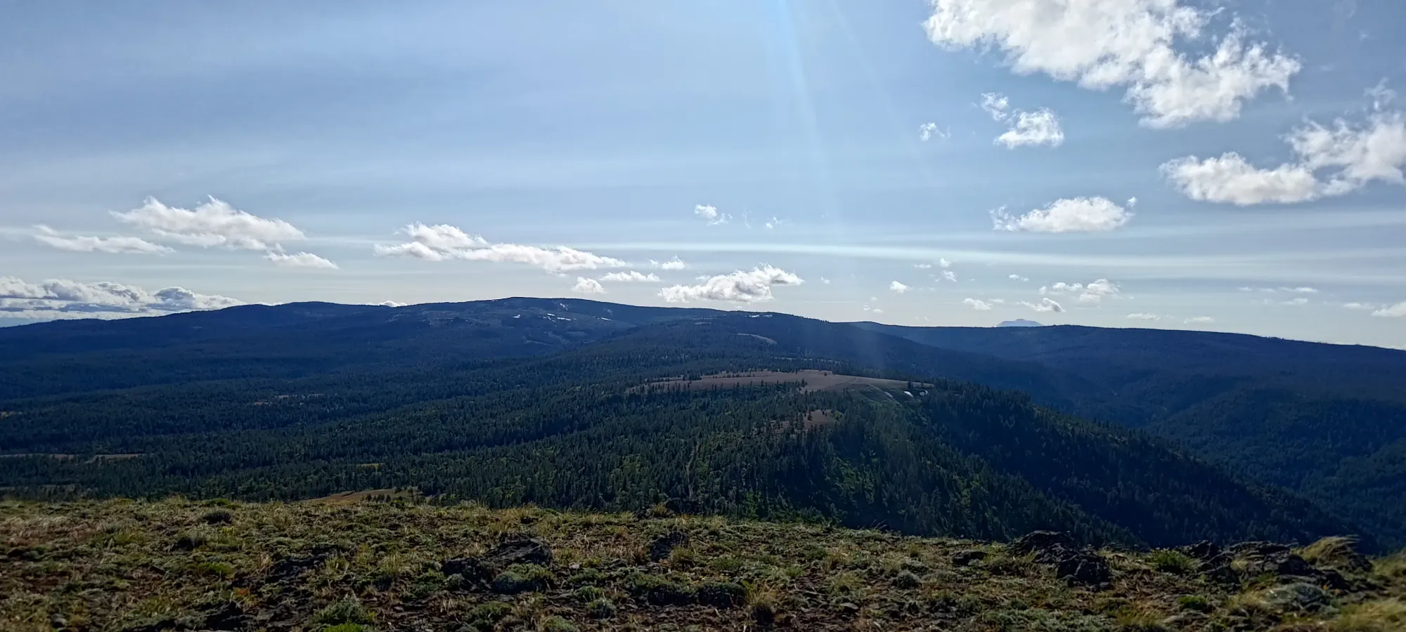
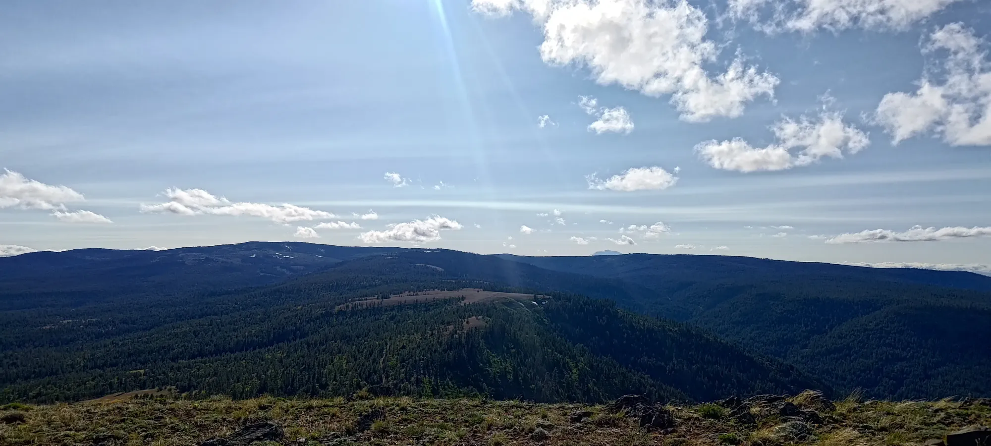
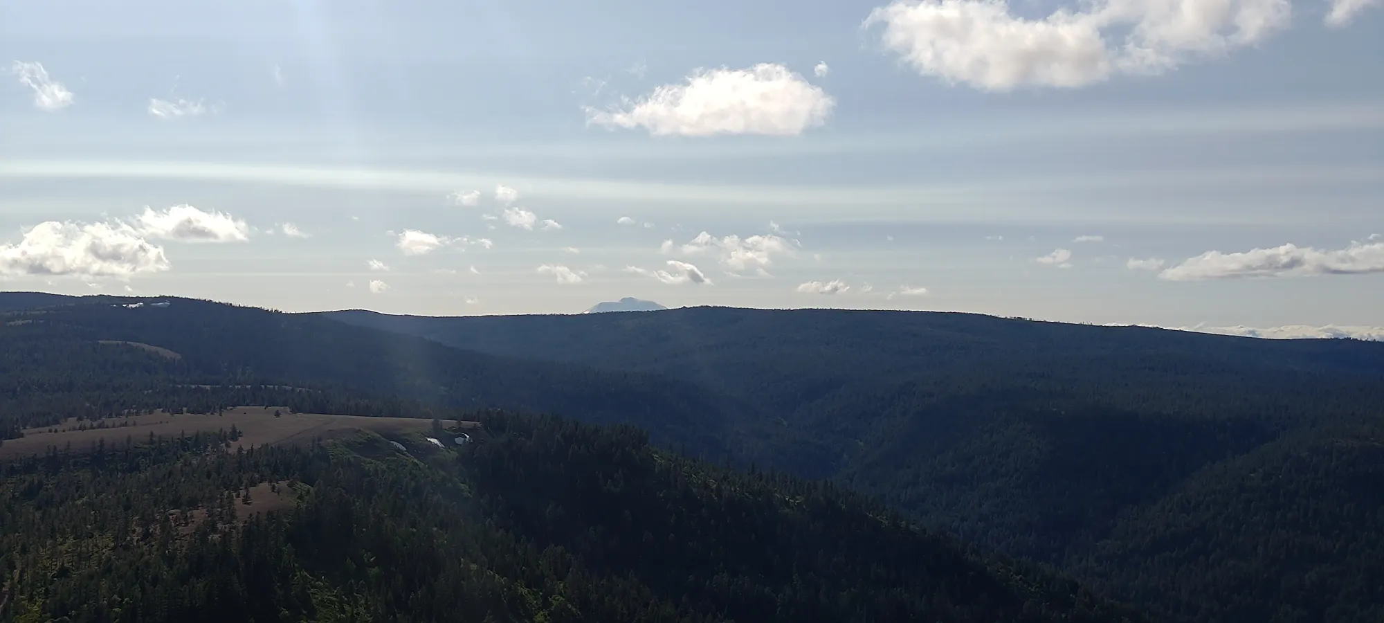
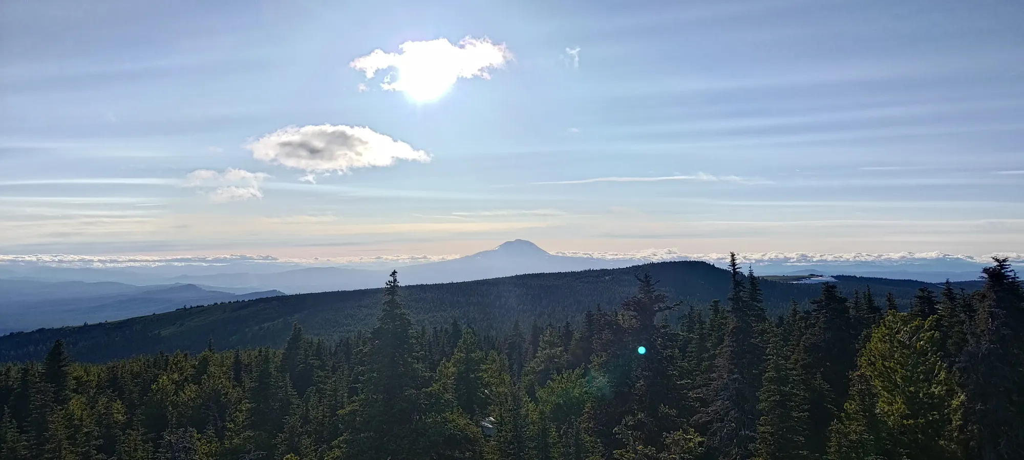
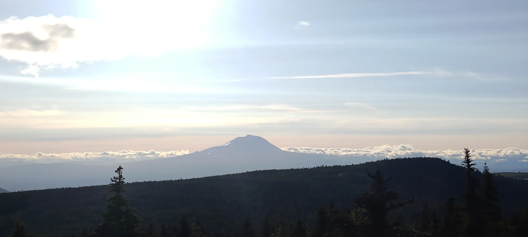
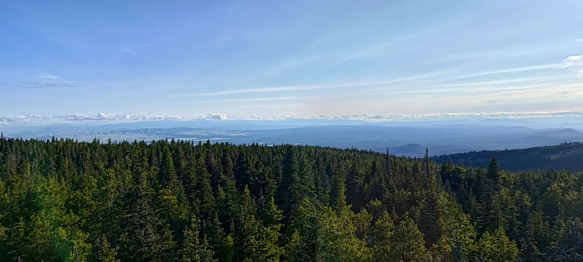
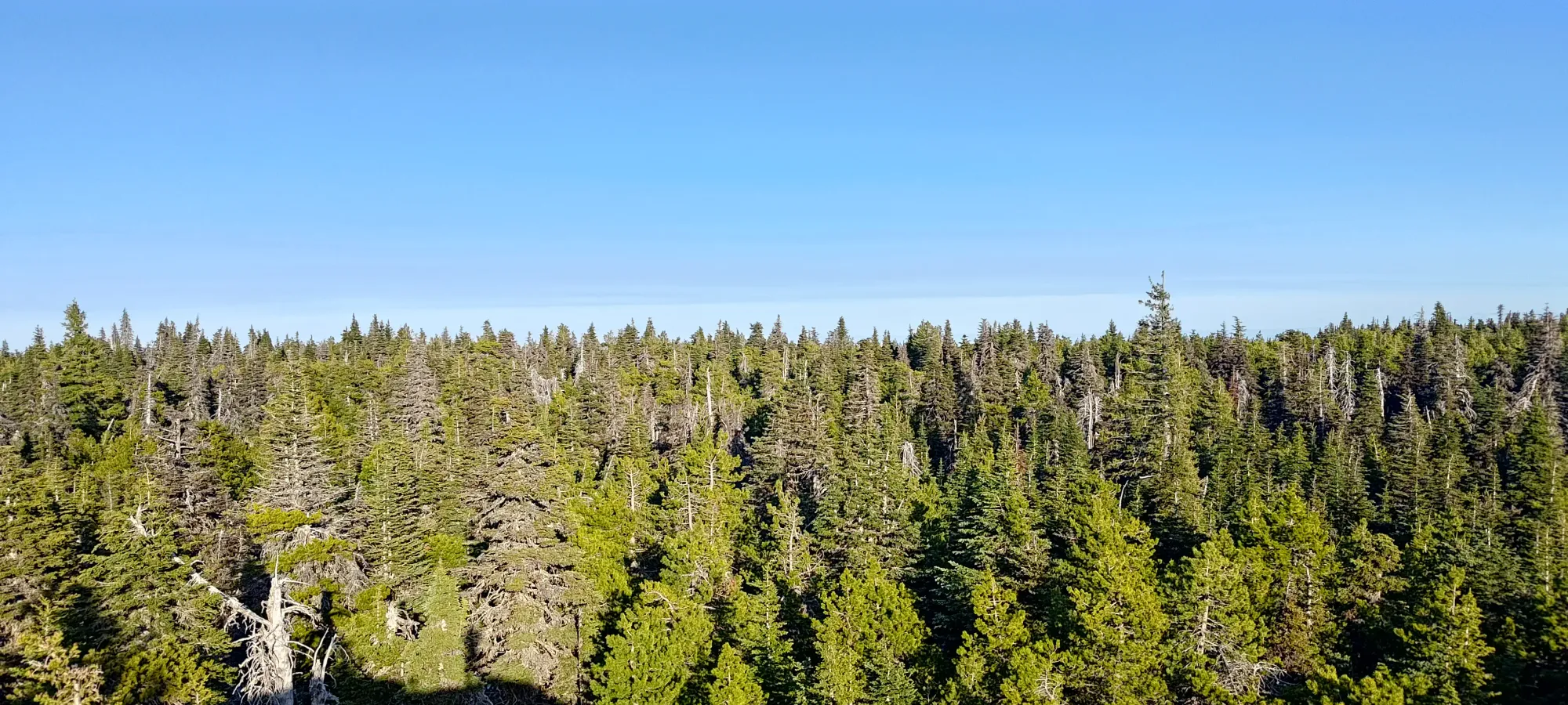
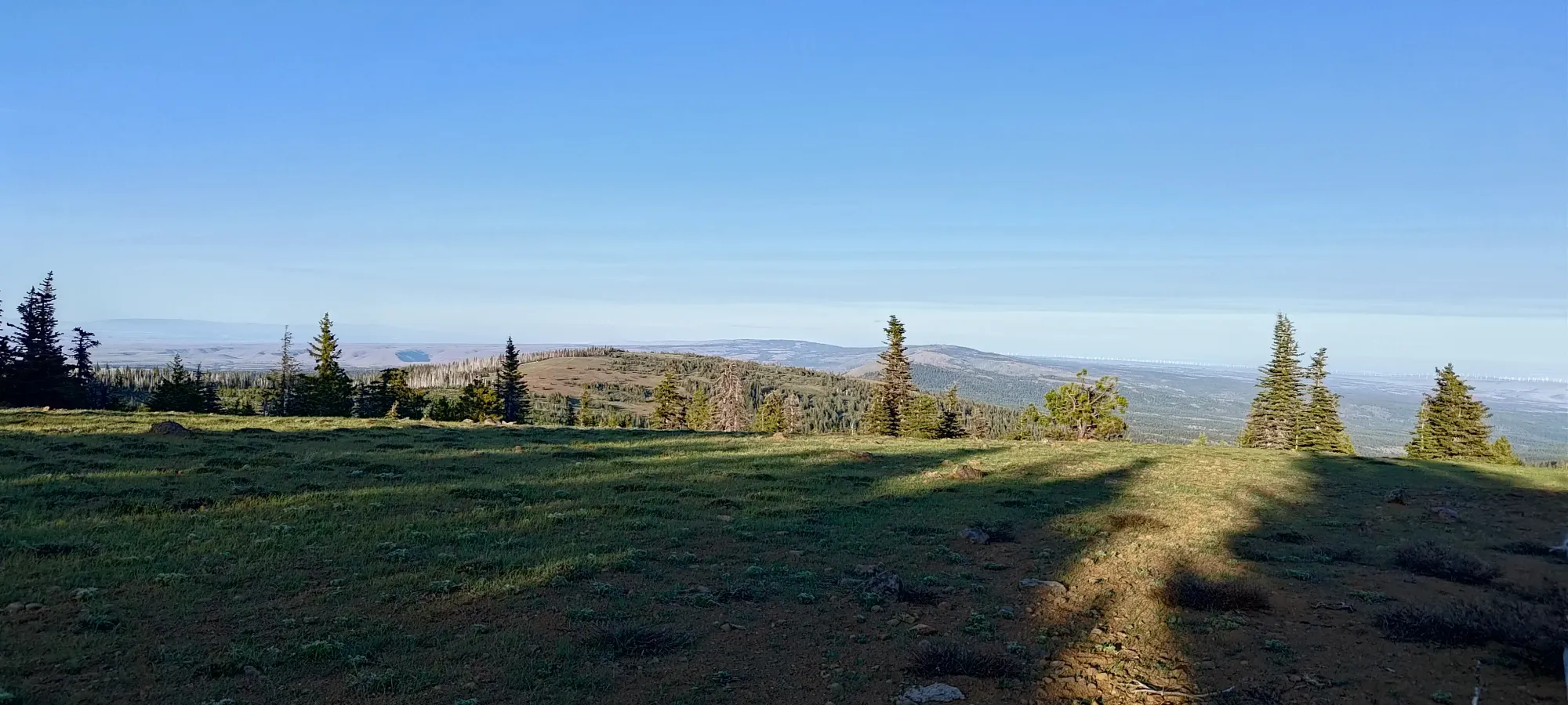
Lots of views to go around. Visibility was pretty good, I could see pretty far, though not quite to Rainier, Jefferson, and Hood, which sometimes you can make out
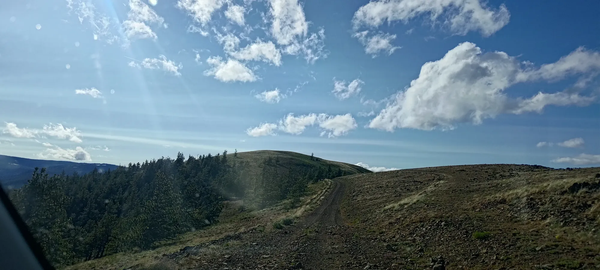
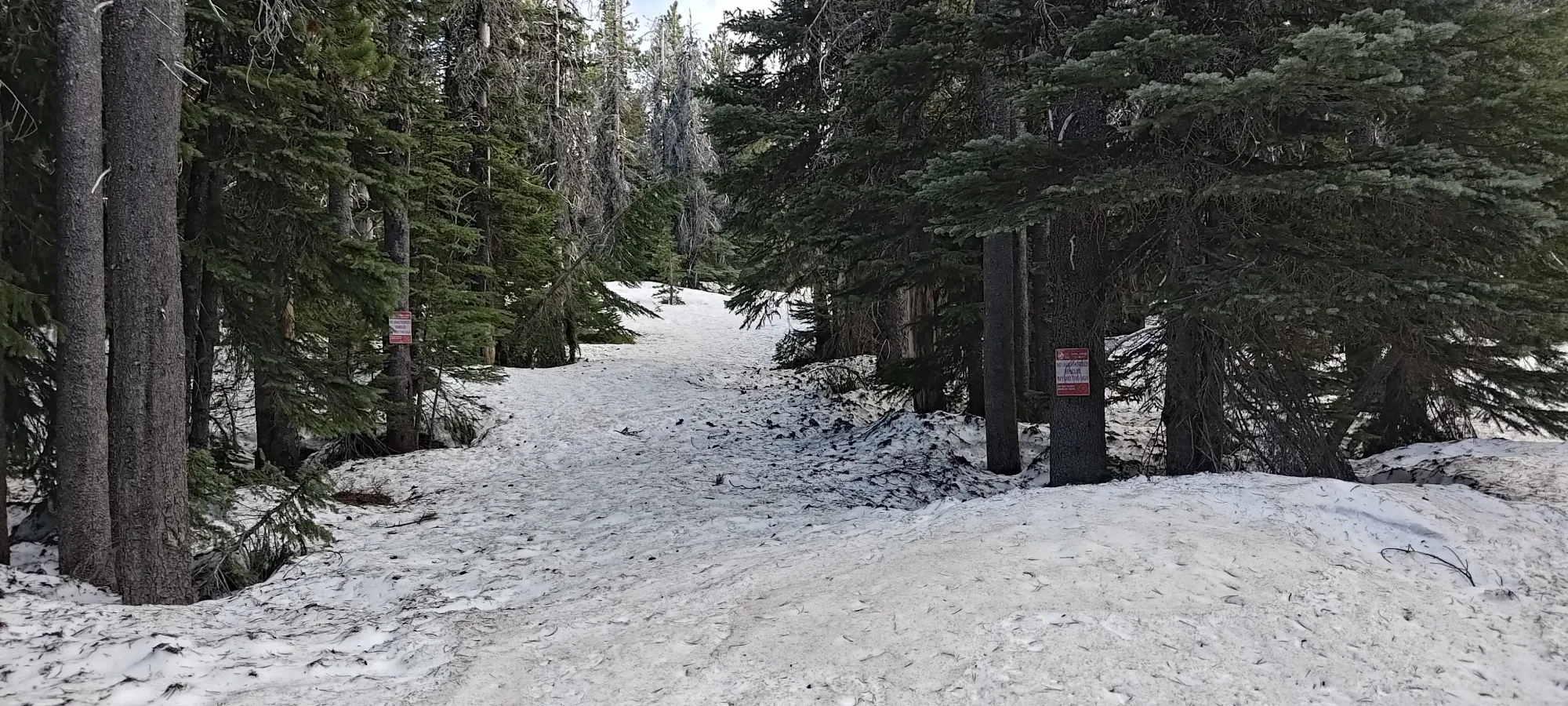
With that out of the way, I pressed on westward towards Indian Rock. Having seen some vestiges of snow on it from Simcoe Butte, I hoped that I wouldn't encounter too much of it on the way, but that was a hope that got crushed soon enough 😅. After I descended from Simcoe Butte and started climbing up again, there was some snow blocking the main road. Thankfully, others have seemingly encountered similar conditions, and there was a bypass a bit behind me to the south, so I took that, and was able to get around without too much of a hassle. I think a similar situation happened again later on, and that bypass required higher clearance, so if you go in shoulder season, be prepared for perhaps some spicier driving. Once I cleared all my bypasses, I made it past Simcoe Mountain (which is not a p100, so I did not feel the need to stop for it), and got up to 1650m, where the road forked once again. The "official route" stays on the northern fork until one splits basically straight south for the summit. However, there was a deadfall blocking the way a couple dozen metres in, so I turned back from there, and assessed my options.
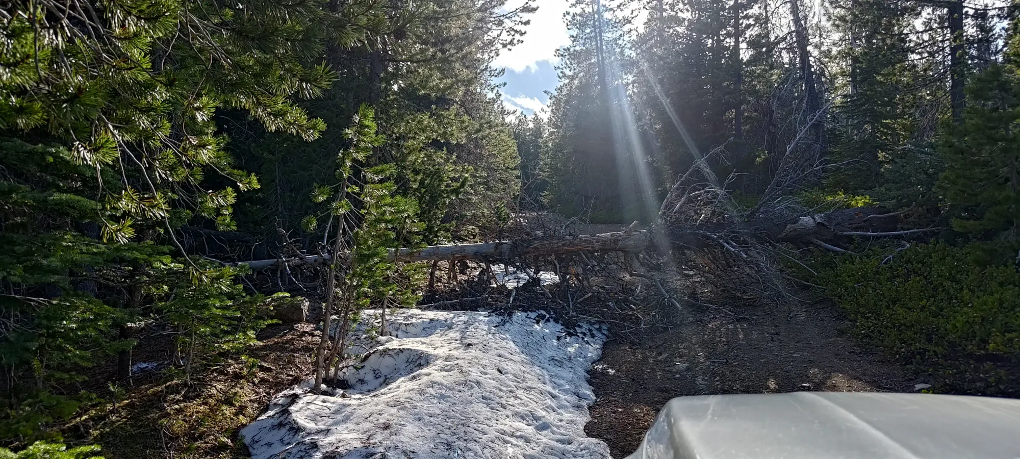
Turns out the southern fork, which descends a good bit, but did appear on satellite to eventually climb to over 1750m and get close to the peak as well, was also blocked by deadfall, so my decision was made for me! I parked at this junction, then put a shell in my "emergency hiking bag" I keep in my trunk, and got walking, just before 6:30pm. I was happy I made it at least that far, since I had to get to my hotel and sleep that night, with an early start planned for the next day, and a 10+km hike would simply take too long to justify.
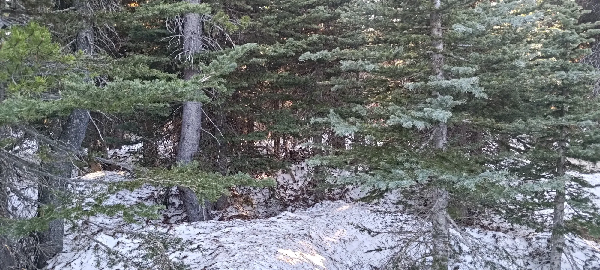
Southern and northern forks, both blocked 😅
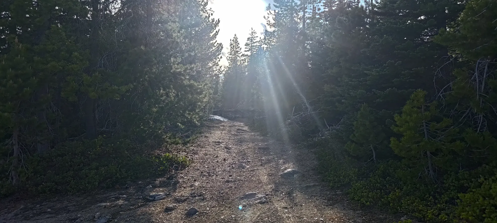
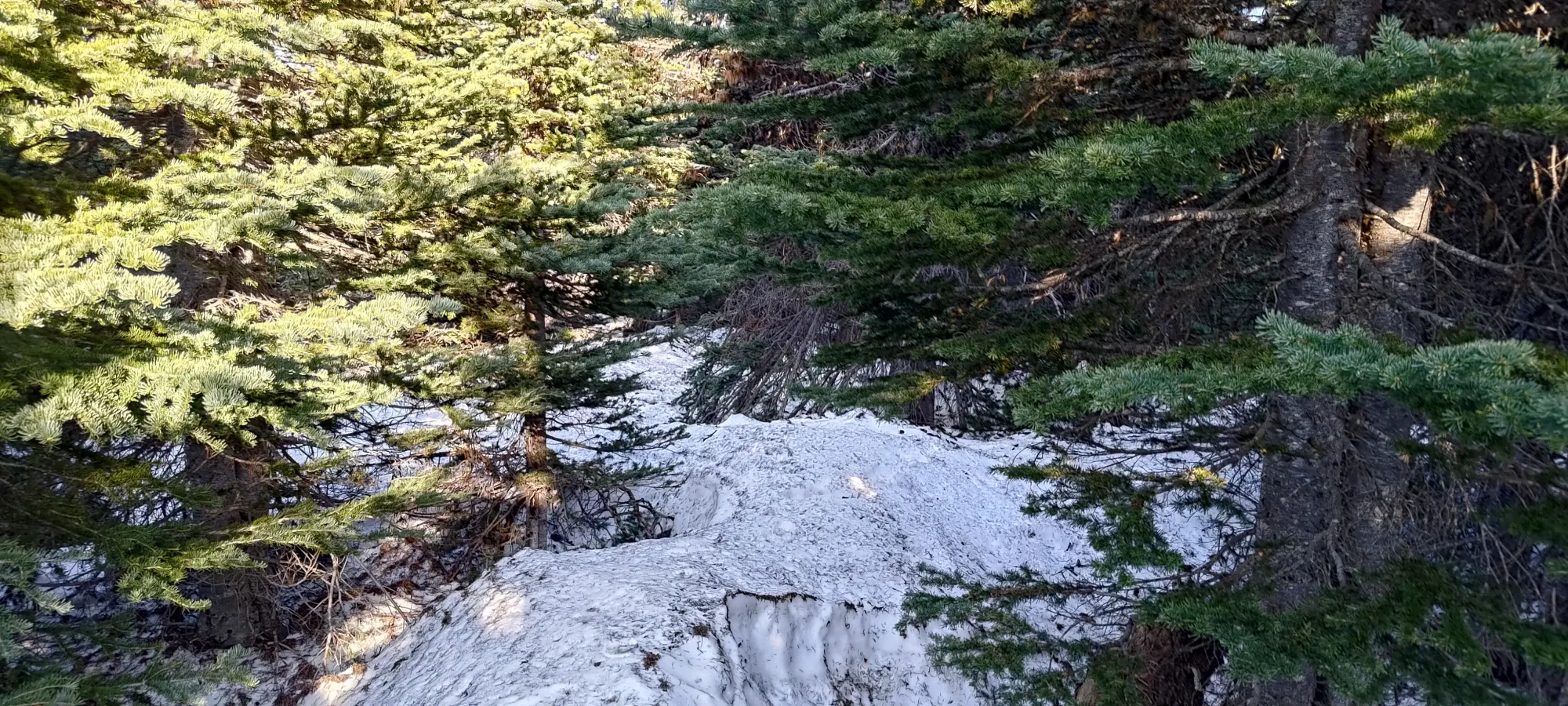
While one could run this road, of course, I chose to just walk, wanting to keep my body primed for the planned larger day to follow. That allowed me to crank out the first 1.2km in about 10 minutes, the final downhill of which actually had full snow cover (thankfully firm and sun-cupped, for the most part). Probably could've used some spikes, but I didn't pack any for this trip, so I just dealt with the slightly-less-efficient "just shoes" setup I'd come with.
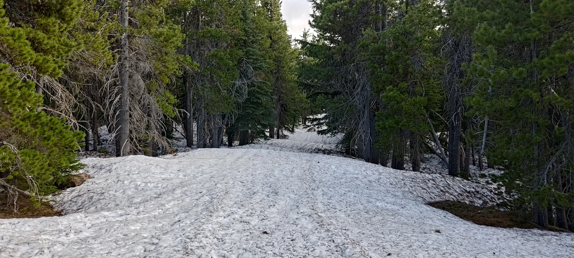
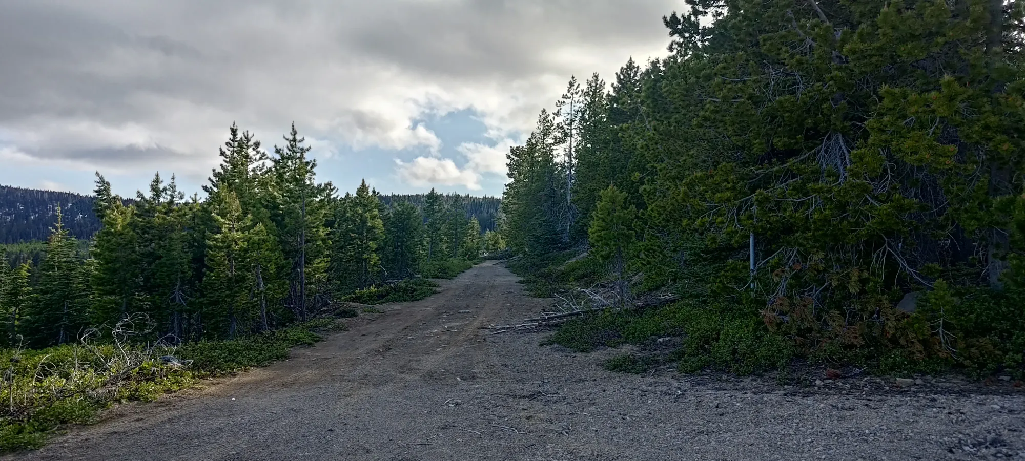
I didn't do a ton of research for this peak (more on that later), so I was surprised to see a whole-ass road leading to the summit! I wasn't complaining, though, as that would make travel simple, at least. So, I continued marching on, only infrequently finding soft spots in the snowpack, and finding snow coverage on about 95% of the route. That slowed my walking a bit without traction aids, but was by no means difficult at this gentle grade.
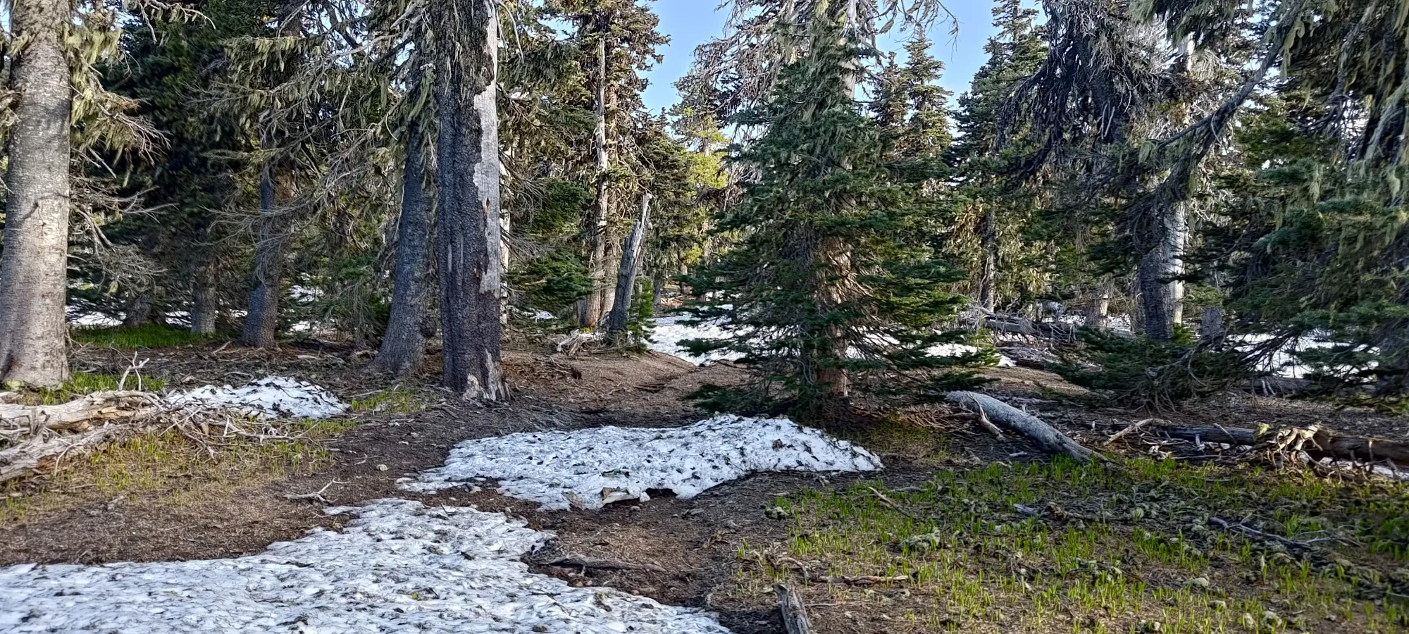
As I got closer to the summit, at around 1750m, the terrain seemed to level off, and the snowpack got a lot patchier. There were definitely quite a few roads/trails in the area, but I wasn't sure what to follow, so I just roughly followed some GPS tracks I had downloaded, and wandered to what looked like a high point in the middle of the forest 😅
Is this the high point??? (no)
It wasn't the marked summit location, though, so I continued on, despite losing a small amount of elevation, until I found a rocky outcropping that certainly looked like it could be called Indian Rock, and also looked like it was situated where the summit indicator on Peakbagger would be! Excited, I bashed my way over, and found a road leading right to its base. There, I stashed my poles in the snow, and started scrambling. This was gonna be maybe even a little fun!
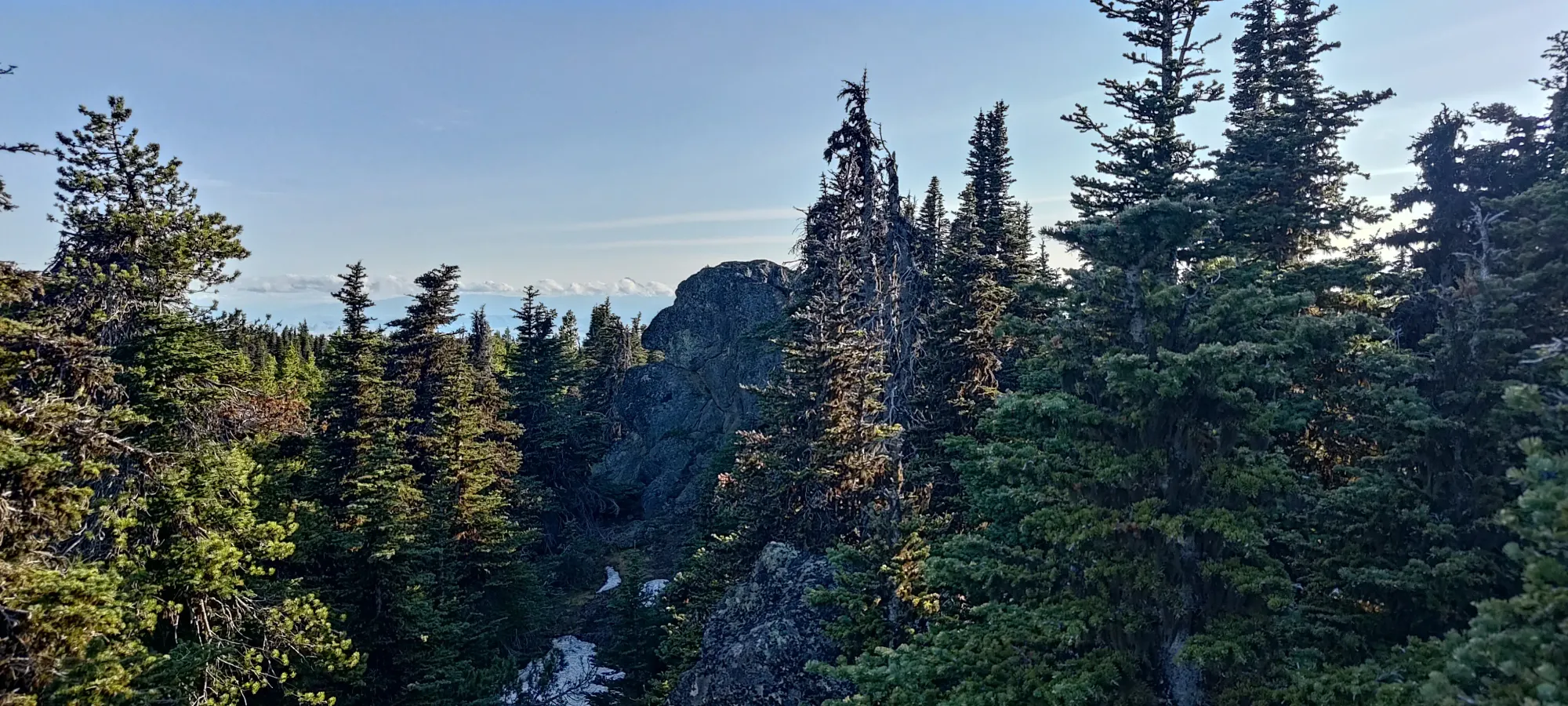
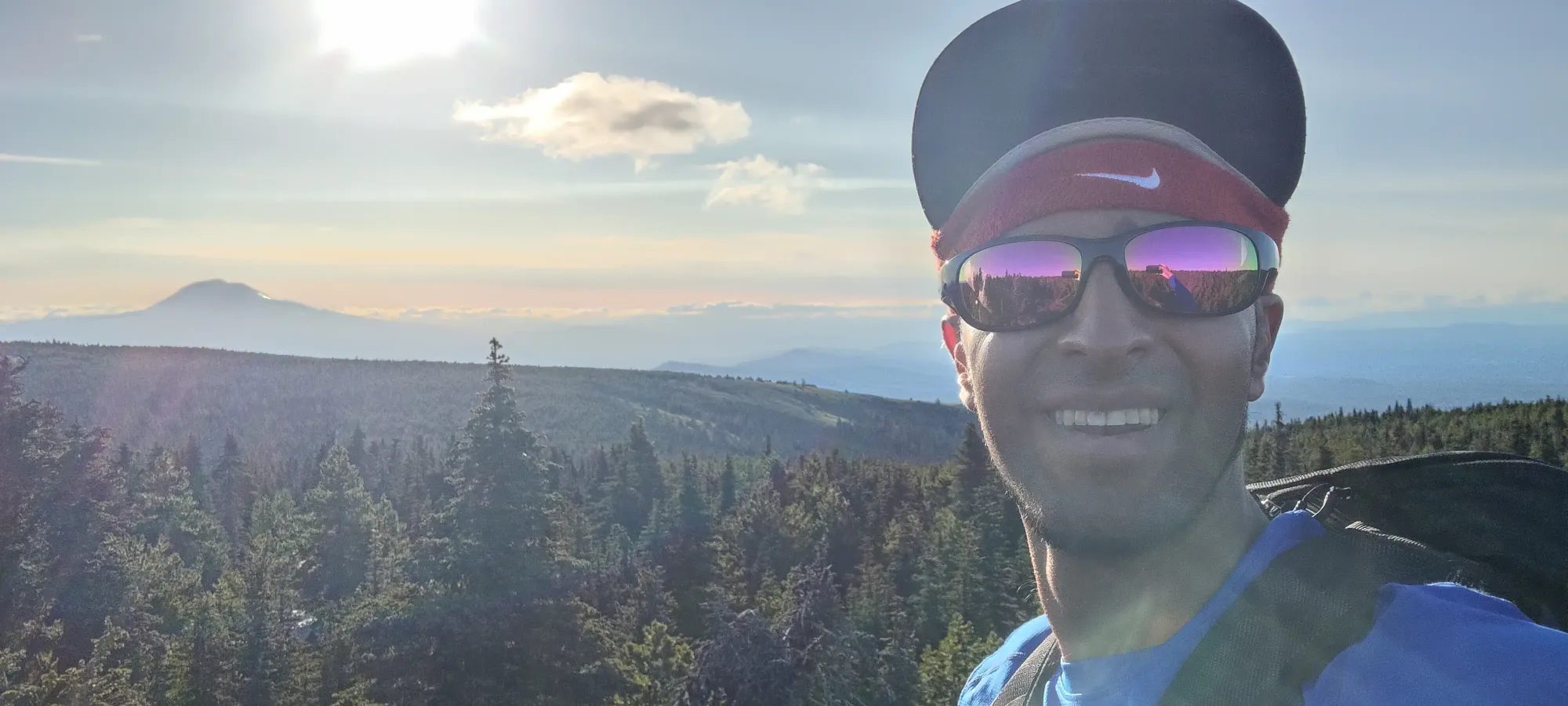
There was a mildly challenging scramble to the top of that rock, and I was rewarded with some decent views for my trouble.
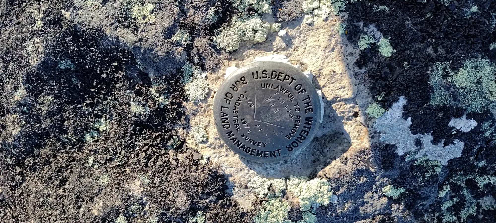
Specifically, views of the actual summit, which was an outcropping over from that. It only took a couple minutes to get there, and that scramble was actually easier. Once I was there, I enjoyed the view more properly, and even saw a survey marker on the top.
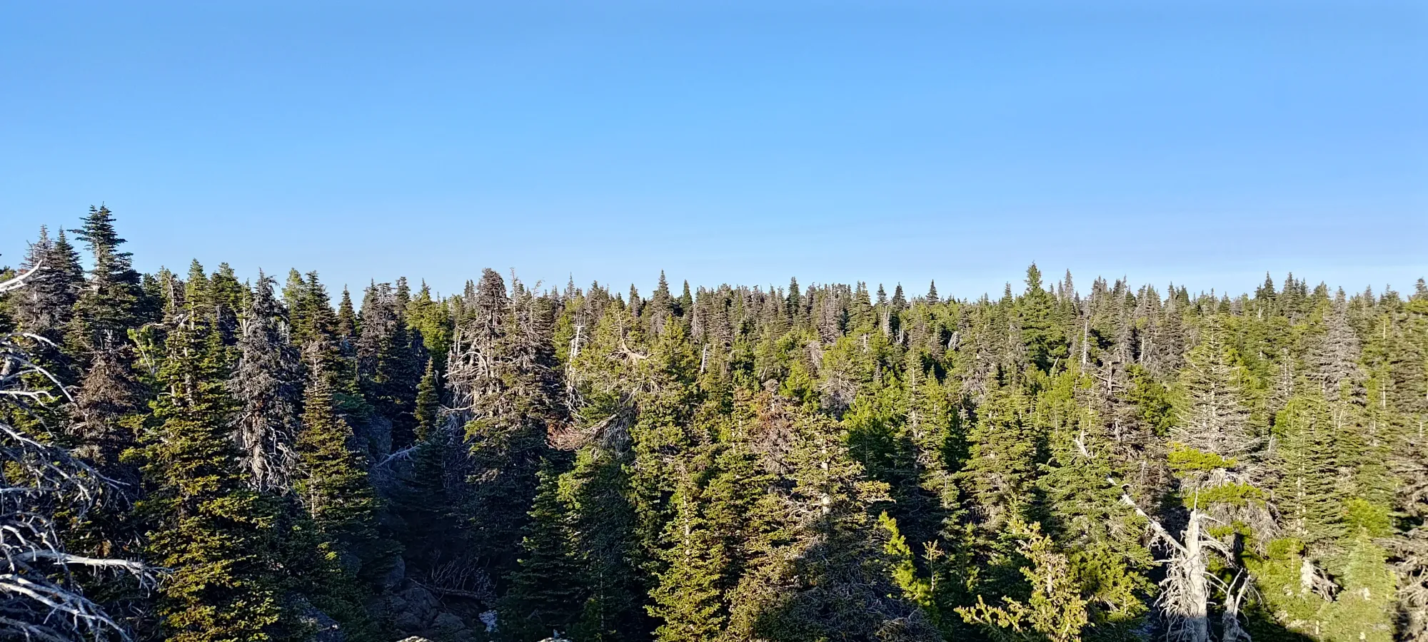

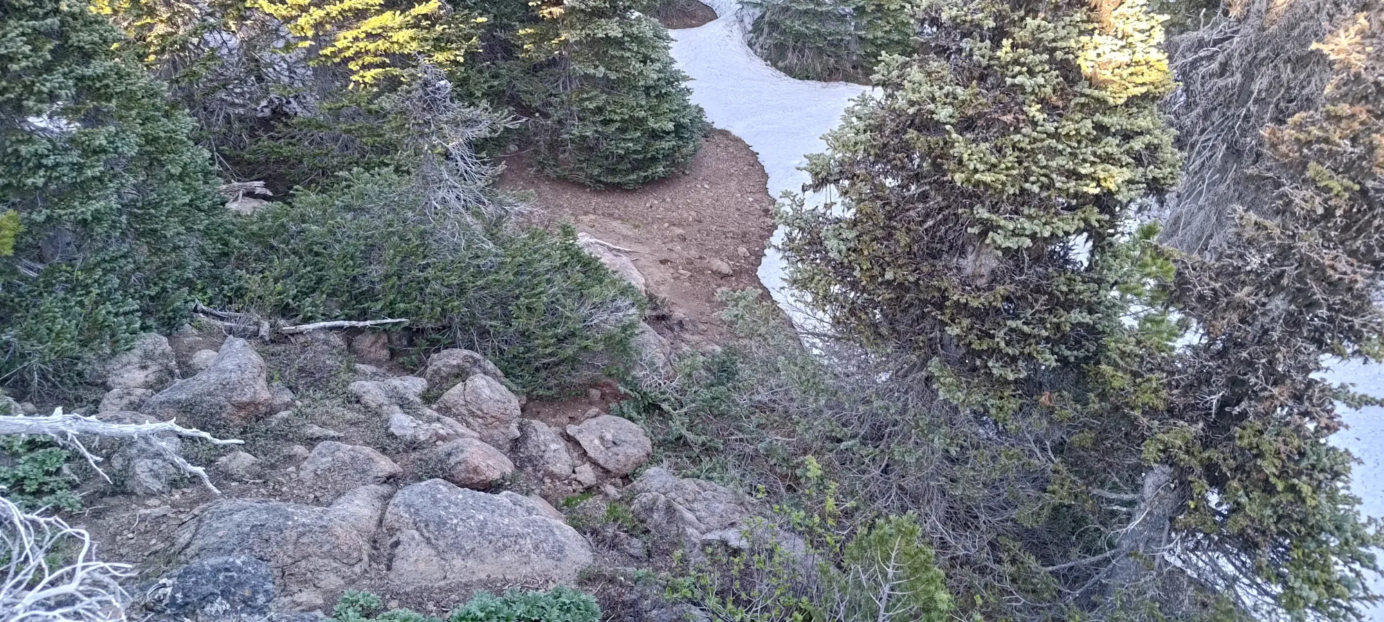
These are all lower, at least, for sure
On my way down, I started to skim some trip reports, which mentioned some confusion about the true high point 😅. Not wanting to miss out on the true summit after all the time investment for me to get to this point from Squamish, BC, I wandered around and chased some other places, including the rock pile below, which I believe is what the misleadingly-lower elevation number on the USGS maps show near the true summit.

I wasted about 10 minutes wandering around until I eventually found a trip report which stated more clearly that people have definitely surveyed everything, and that the rocky outcropping I was on is, indeed, the high point. Finally satisfied, I started retracing my steps, and I cranked out the final 2.25km in 20 minutes, making the total hike 75 in total. A bit longer than necessary, you can basically drive up in the summer, and if I'd read a bit more beforehand, I could've probably brought that to under an hour, but oh well. It was still bright out, and that's... something 🤣

With that out of the way, I had a fairly chill drive back down towards The Dalles, my home for the night, where I rolled in at around 9pm, got some food, checked in to my motel, and crashed as soon as I could will myself to fall asleep (sadly not too early, as I forgot to take my melatonin that I normally have before I need to alpine start, and have to fall asleep early 🙃). As for why, that trip report will come 🔜™️
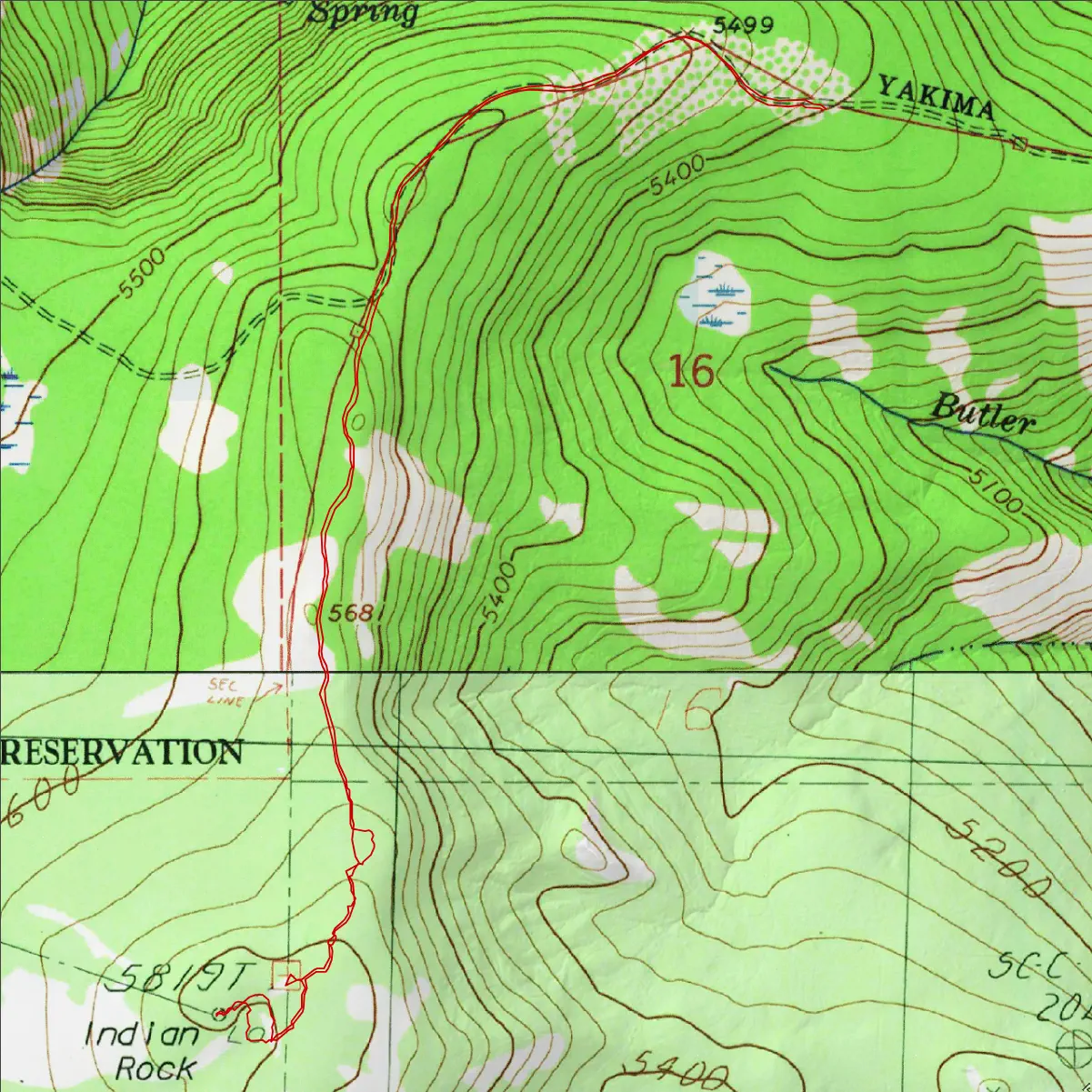
GPX Track + Map