Iago Peak - December 8 2023
A smaller peak in the Coquihalla Summit recreation area. Some good ski runs off of it, but the approach was a bit tedious in all honesty.


North Hope Mountains, Coquihalla, BC
1737m
With a major storm rolling in this weekend, I was planning to get some skiing in, but I also knew that avy conditions were gonna be dicey, so it looked like potentially a resort-0nly weekend unless I went for a sufferfest in the Saturday storms before snow got too loaded on top of the existing crust. Then, I happened upon a friend's Facebook post saying they were visiting the coast for a week, and I saw another post from them where they were ice climbing out in the Rockies! To me, that meant I was officially allowed to drag them up a mountain, so I messaged them, and we settled on "something not too hard, not technical, with views, and a chance to experience the snow". After much searching (for something I'd not already bagged) that met those requirements, I settled on Iago Peak in the Coquihalla. However, to satisfy the view requirement, I'd have to swap Friday and Saturday at work to avoid the storm. Thankfully I had a couple big solo projects to work on my team was happy for me to get some "alone time" to focus on, so that was OK-ed, and the plan was set!
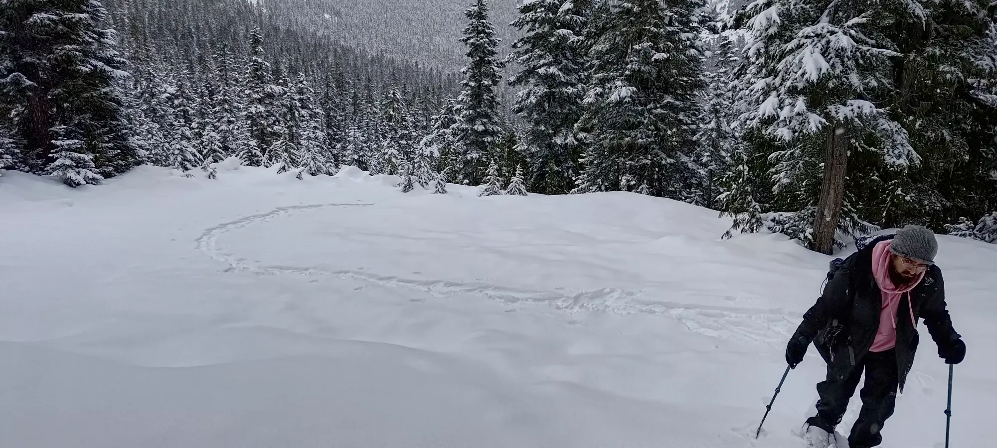
I packed up all my stuff, and some extra gear for PK (the aforementioned friend), crashed at my dad's place the night before to cut down on the driving, and we left around 7:30am, just early enough to be "tourist-friendly", but to avoid most of the traffic, and leave good time for peakbagging. The drive was uneventful, and we got to the trailhead just before 10am, and got geared up in the light snowfall at Zopkios Rest Area.

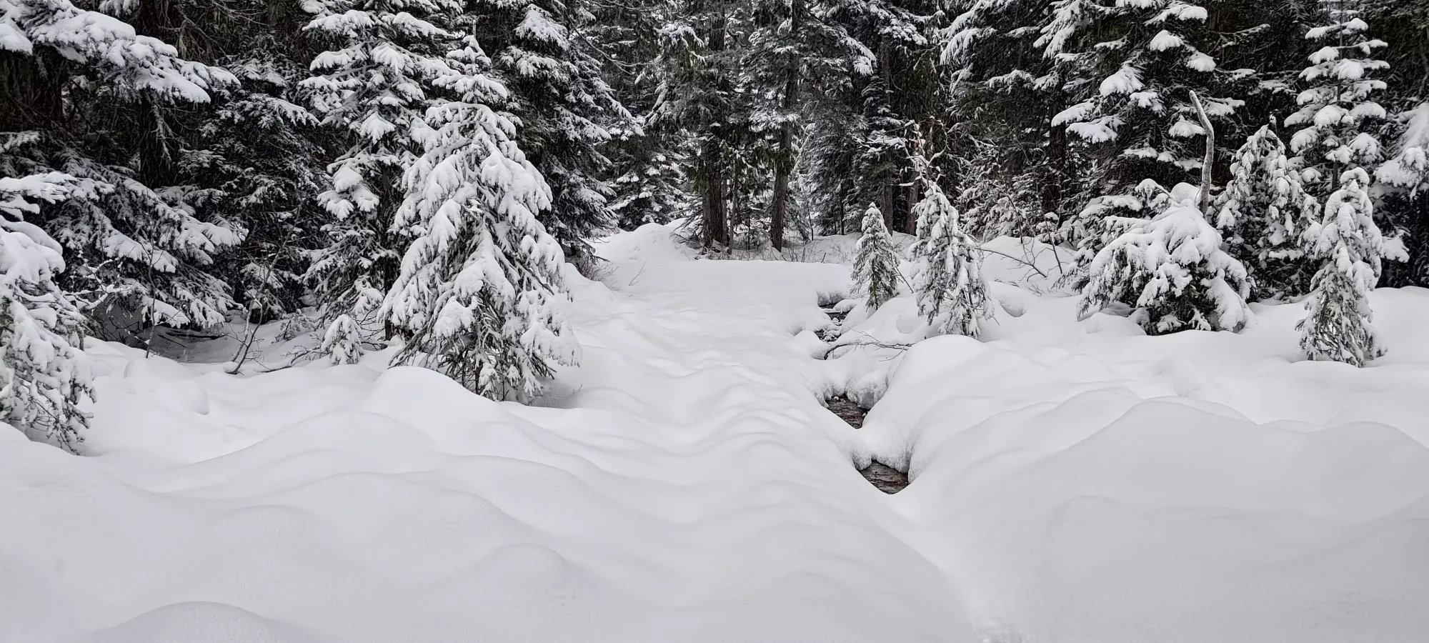
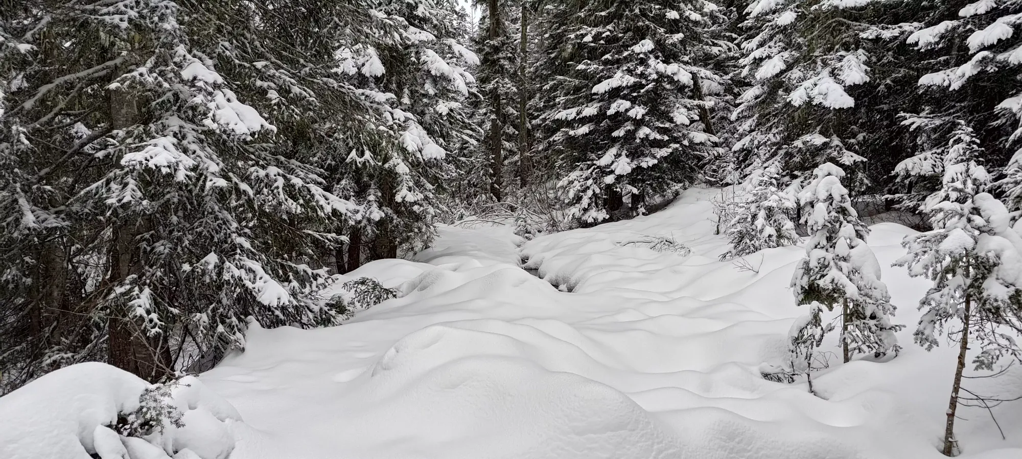
I decided to ski, mostly because I wanted to ski, but also because I only own one pair of snowshoes, and I needed to lend them to PK. This made for a somewhat interesting approach, as the approach road was not snowy enough to be evenly covered, and meltwater from the week (and a lot still percolating through the snowpack on the day of) created quite a few open sections which required creative skinning to make it through without getting the skins wet or dirty. PK, for his part, got used to the snowshoes pretty fast, though by his own admission was feeling the lack of hills in Ontario. I think he did decently, though, especially at the beginning. We made it to the big log bridge over the larger creek about 40 minutes in, whose crossing made me take my skis off, but after that, the snowpack got more consistent, and was just "regular FSR skinning" with a couple easily-avoided open spots.
The road continued for another 40 minutes or so (at our rather leisurely pace), until we got to the fork where the Ottomite road and the Zupjok route diverge. I'm not sure what the "official" way up is from that point, I saw tons of tracks of people skiing here so I assume there's a nicer way, but from the tracks I had downloaded, it seemed like one just follows the Zupjok route roughly until you hit a creek at 1400m, then you cut over towards the Zupjok-Iago col, and go up there. The few TRs I'd scanned didn't mention anything out-of-the-ordinary, so I expected this to be pretty chill based on the popularity.
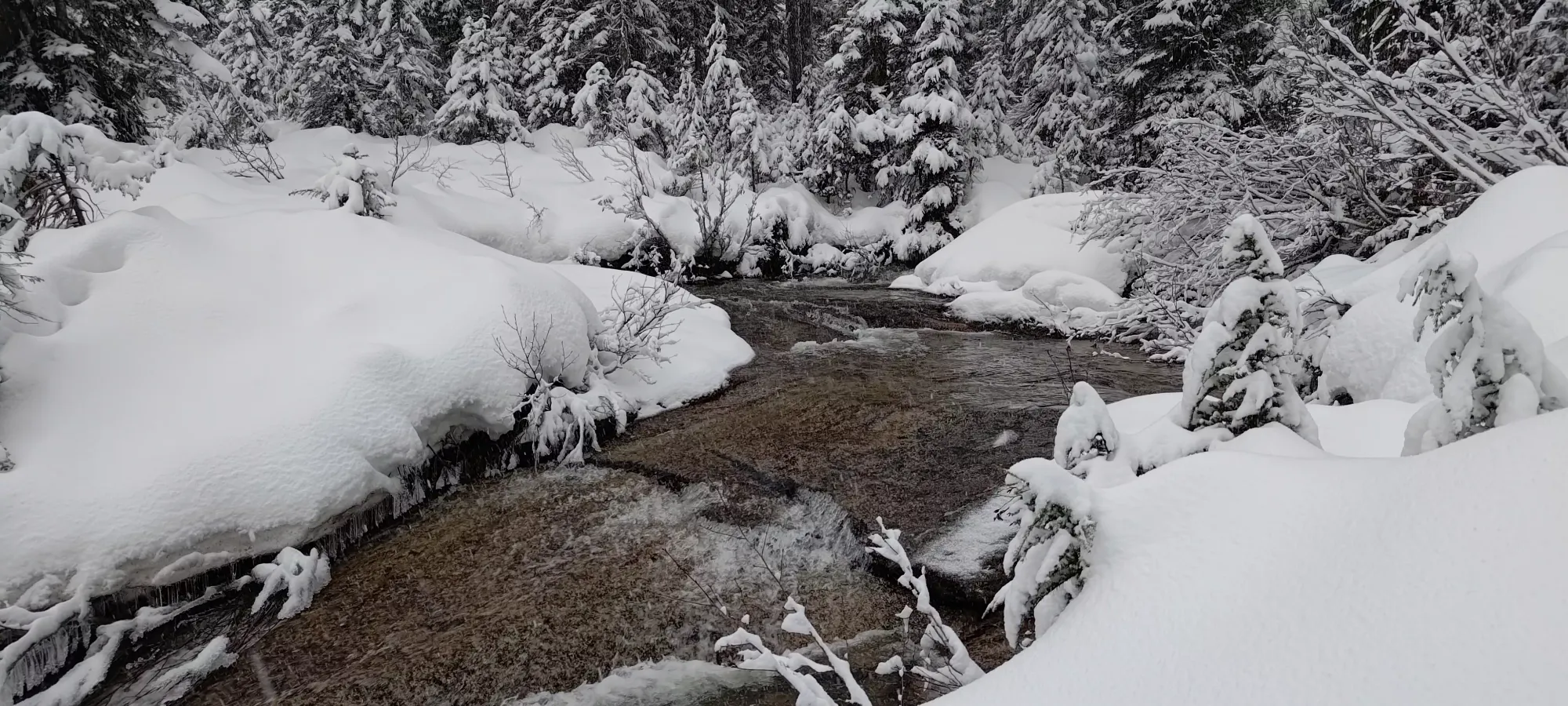
It took us about 25 minutes to get to the creek, again at a fairly relaxed pace (I didn't really sweat much all day). The GPX track we followed up went through a couple steep areas, and a few denser tree areas than necessary, but was overall still fairly easy terrain, though I'd still recommend our return tracks, which are basically just "the Zupjok trail". The creek itself was easy enough to hop across, even on skis (though it did still require this, I imagine a deeper snowpack would see it fully bridged).

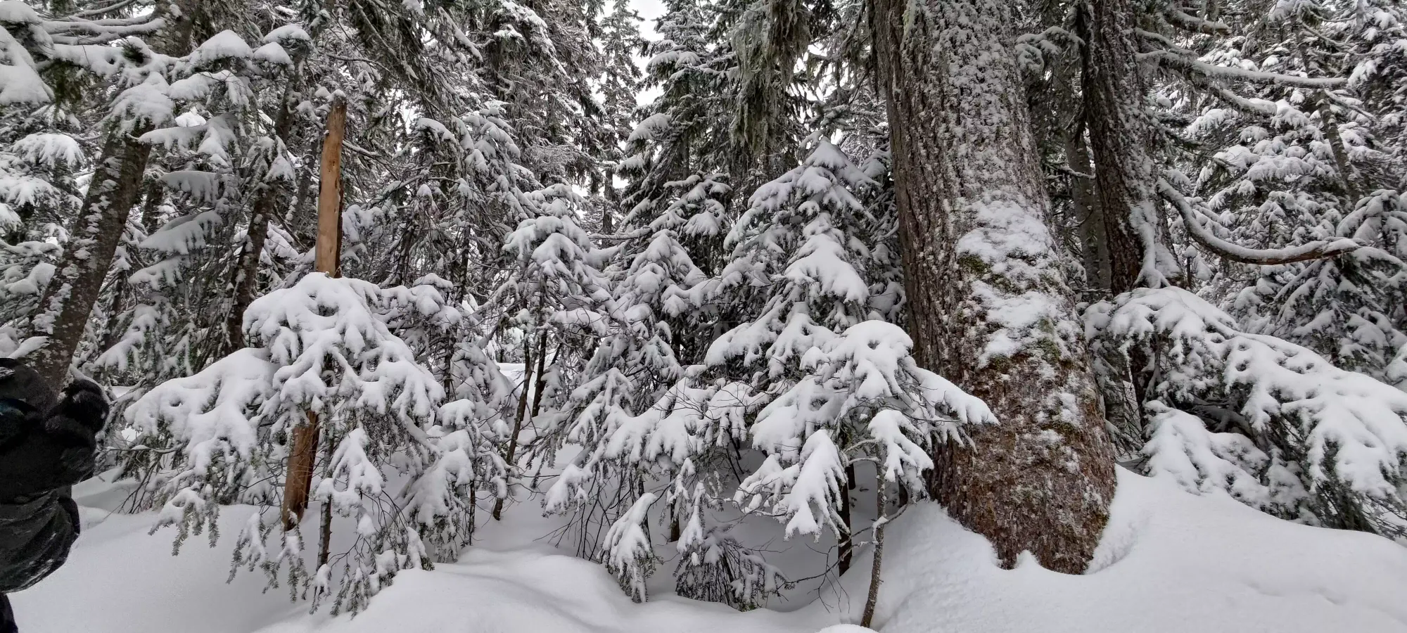
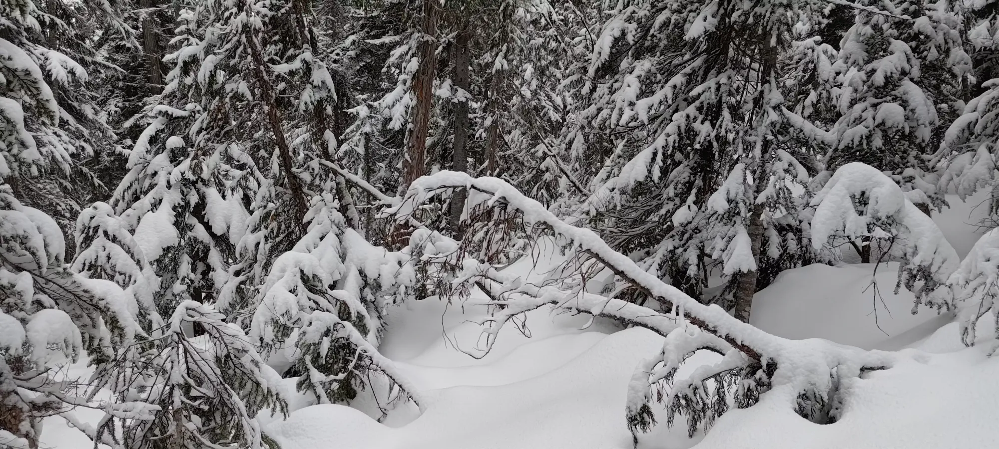
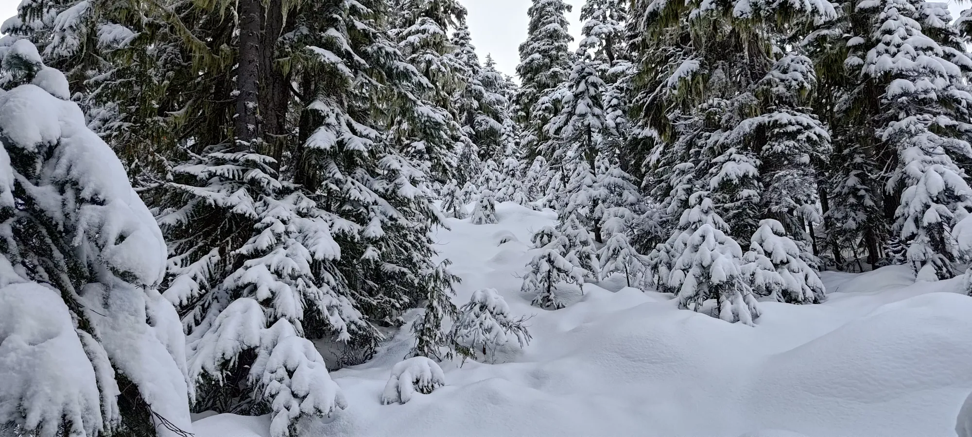
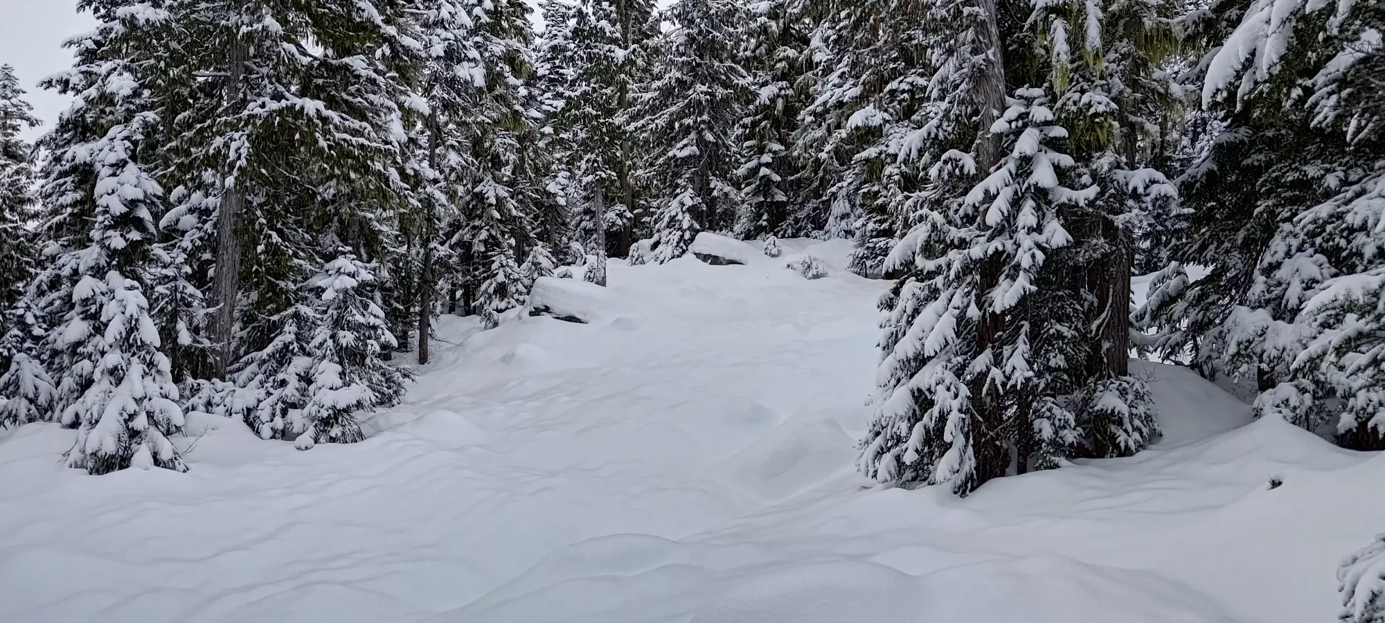
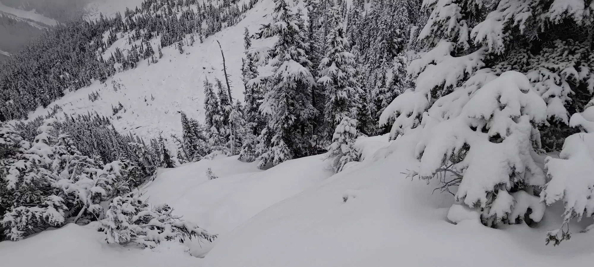
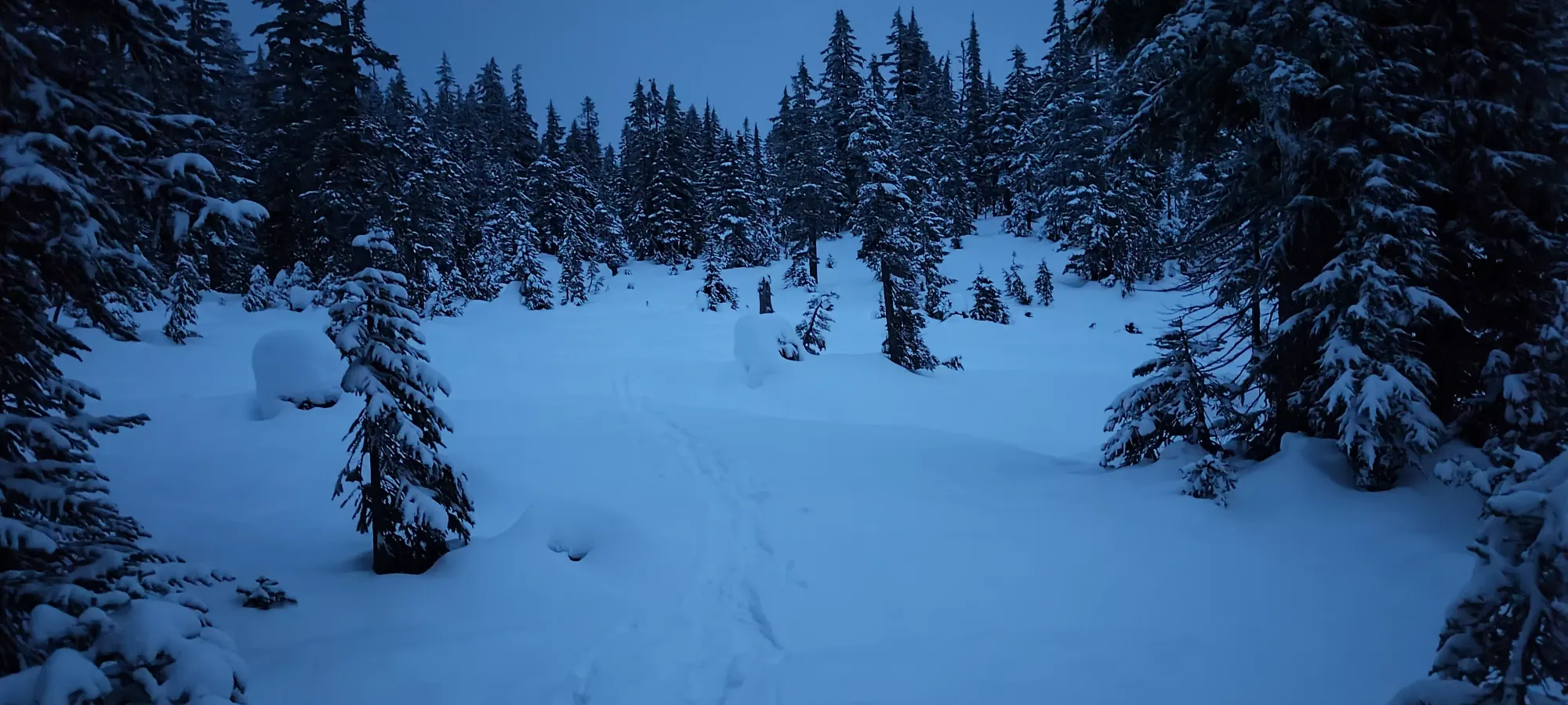
After crossing the creek, according to the track I had, my eyes, and even all the historical ski activities on Trailforks, the way up really does seem to be "bushwhack through the forest until you get to the col". This was an unpleasant revelation, and we tediously fought through the forest for about 50 minutes, with lots of cursing as trees emptied their branches' contents onto our heads and into our jackets. Unless I'm blind, and the tracks I found online are just super inaccurate, I'm surprised at how popular this peak is with skiers given this section, when other peaks just don't require such tedium.

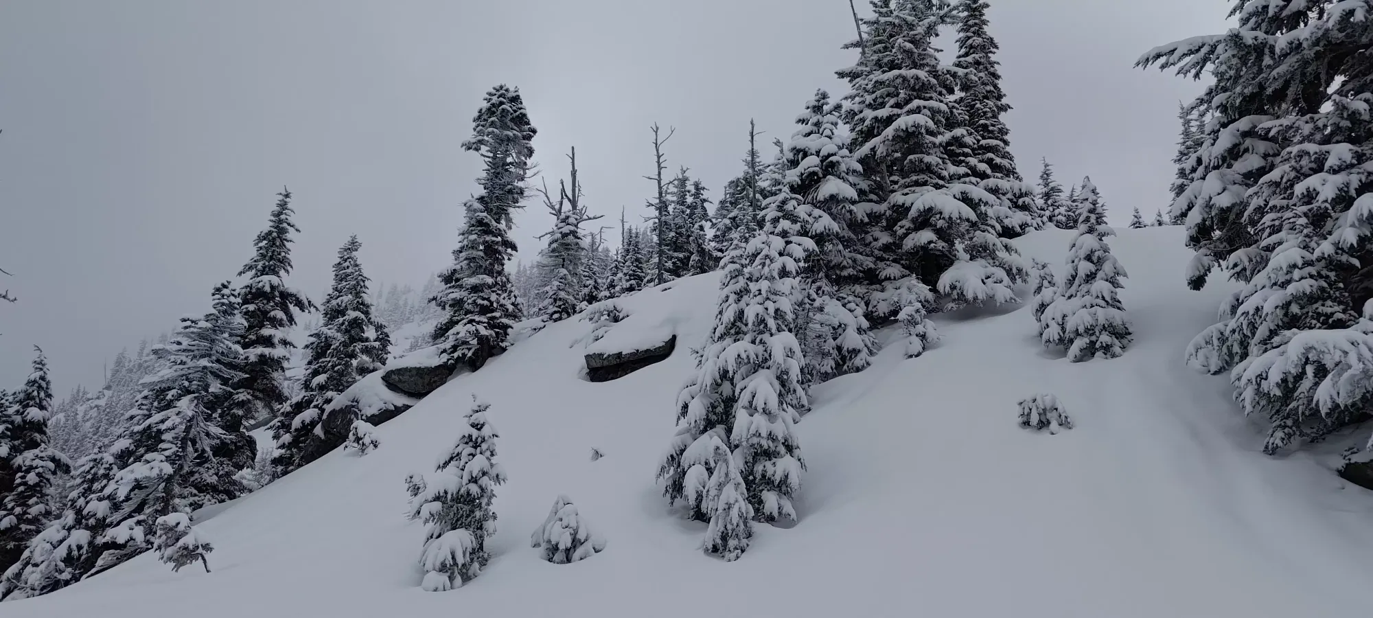
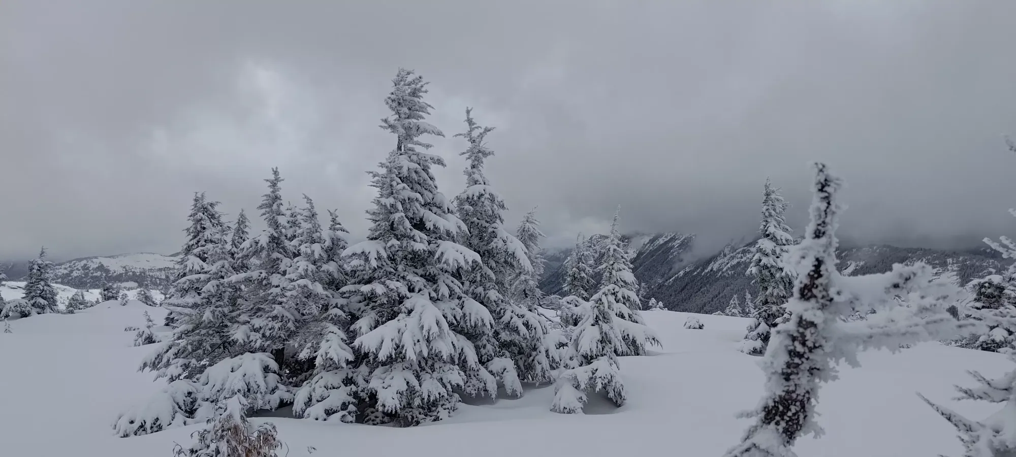
After a large sigh of relief, we started following the flagged trail up the ridge. The beginning 15 steps were pretty steep, but then it instead became a very tight/treed summer trail, so we spent about 10 minutes wandering up "in the general vicinity" of the flags until the terrain opened up a bit more at around 1470m, and the travel got a bit simpler.
To add to the loveliness of the open terrain, it also got a bit steeper, and the coverage was pretty consistent at this elevation as well (if not super deep, it was at least reliable on this aspect of Iago). This was great for me, as it meant I could stop staring at maps and questioning both my and everyone else's life choices who took similar routes, and instead enjoy the thought of actually skiing a little bit on the way down, something I was worried might not ever materialize to that point. PK wasn't having as much fun, as the steeper slopes meant his not-very-hiking-adapted body was getting worked pretty hard. He stuck through it, though, and we made some good progress, gaining 100m in the proceeding 20 minutes, which I consider the baseline of an acceptable pace in good terrain.
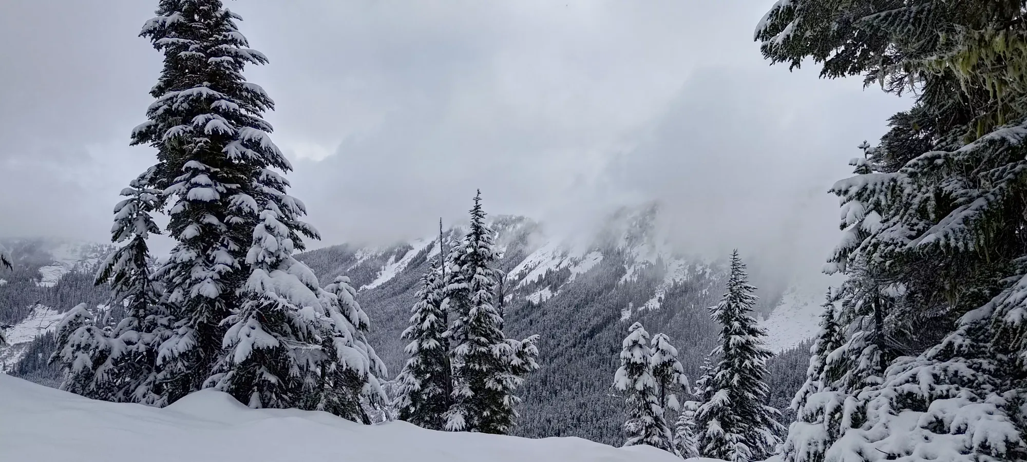
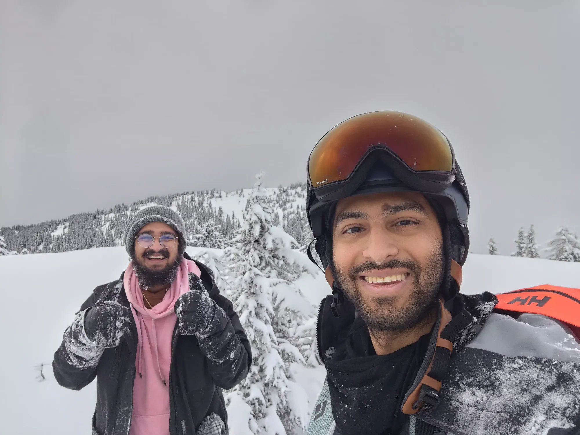
The next 40 minutes took us from ~1560m up to the summit, in fairly open trees the whole way up to the broad summit plateau. PK was really feeling it at the top, but he soldiered on like a champ, and the summit was made! The plan was for him to relax+recuperate on the summit while I tagged Great Bear, so I made sure he had all the layers/food/water he needed, and ripped my skins and locked myself up for the ski down to Great Bear.


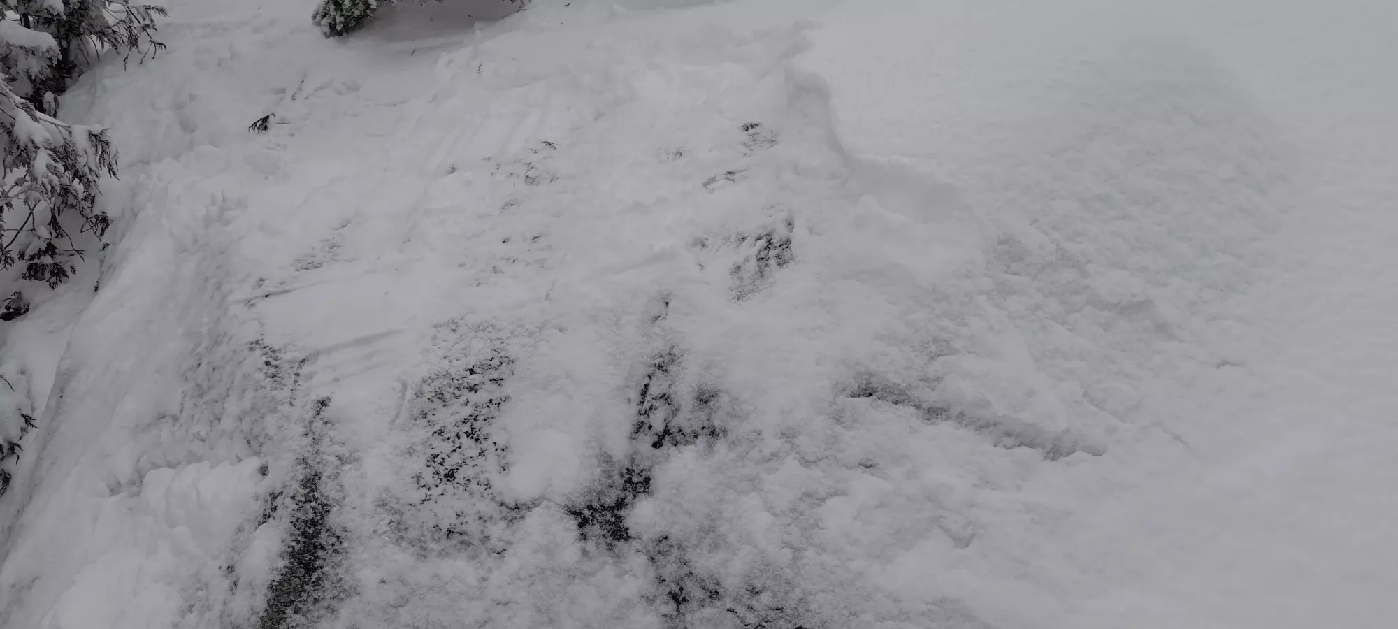
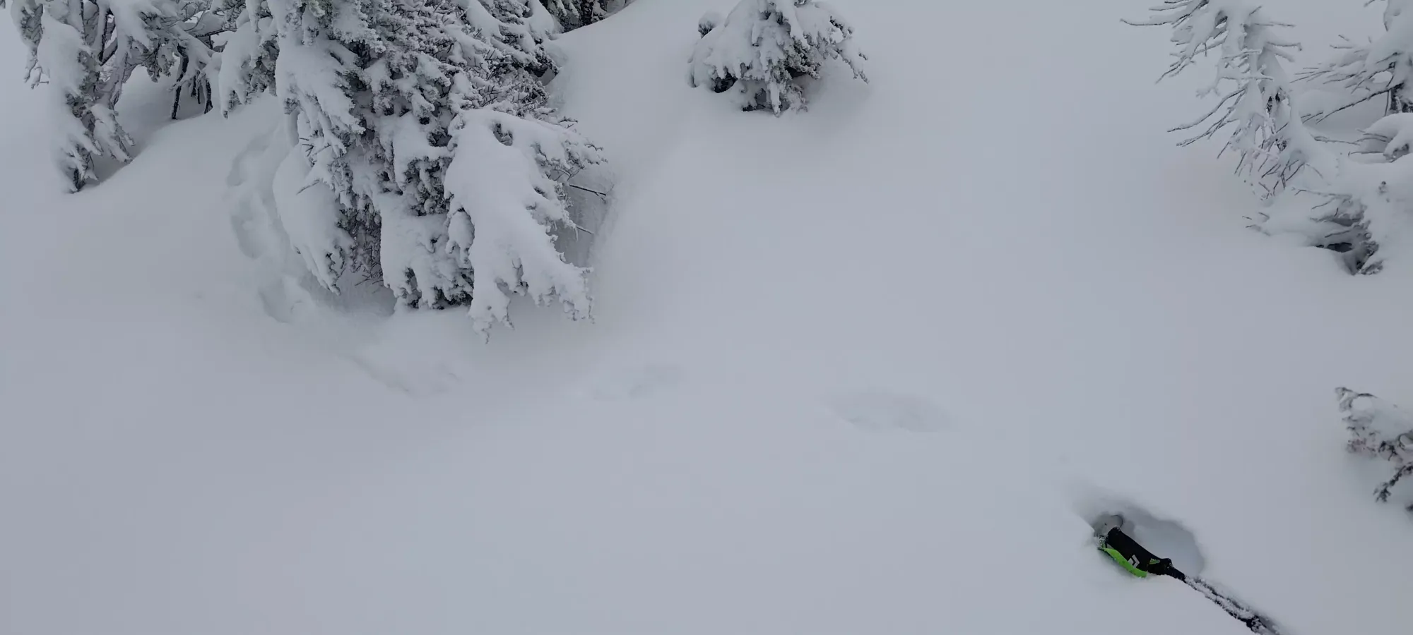
The first couple turns were pretty nice, there was about 10cm on top of the thick crust from last week, which was just enough to make it pleasurable instead of icy, so that way cool. Sadly, that didn't last long, as I got some good scratches coming over a very thinly covered boulder, and the terrain got quite steep. There were technically ways down from here, even skiable ways. But with the snow conditions being what they were, and it being after 2pm, with a non-mountaineer on the summit waiting, it was not the time for a somewhat sketchy descent to bad an extra peak, so I made the call to pack the skis up on my back and boot it back to the summit. It'll feel bad if I eventually have to rebag this peak just to "clean up" Great Bear, but oh well, it was the right call to make, I think.
Booting back to the summit was rather miserable as the crust wasn't supportive enough to stop boots from penetrating, and as such I was postholing like crazy. After those few minutes of suffering, I had a small snack, we took some more pictures, and we started heading down somewhere around 3:15pm, with the goal of getting out of the bushwhack by dark.


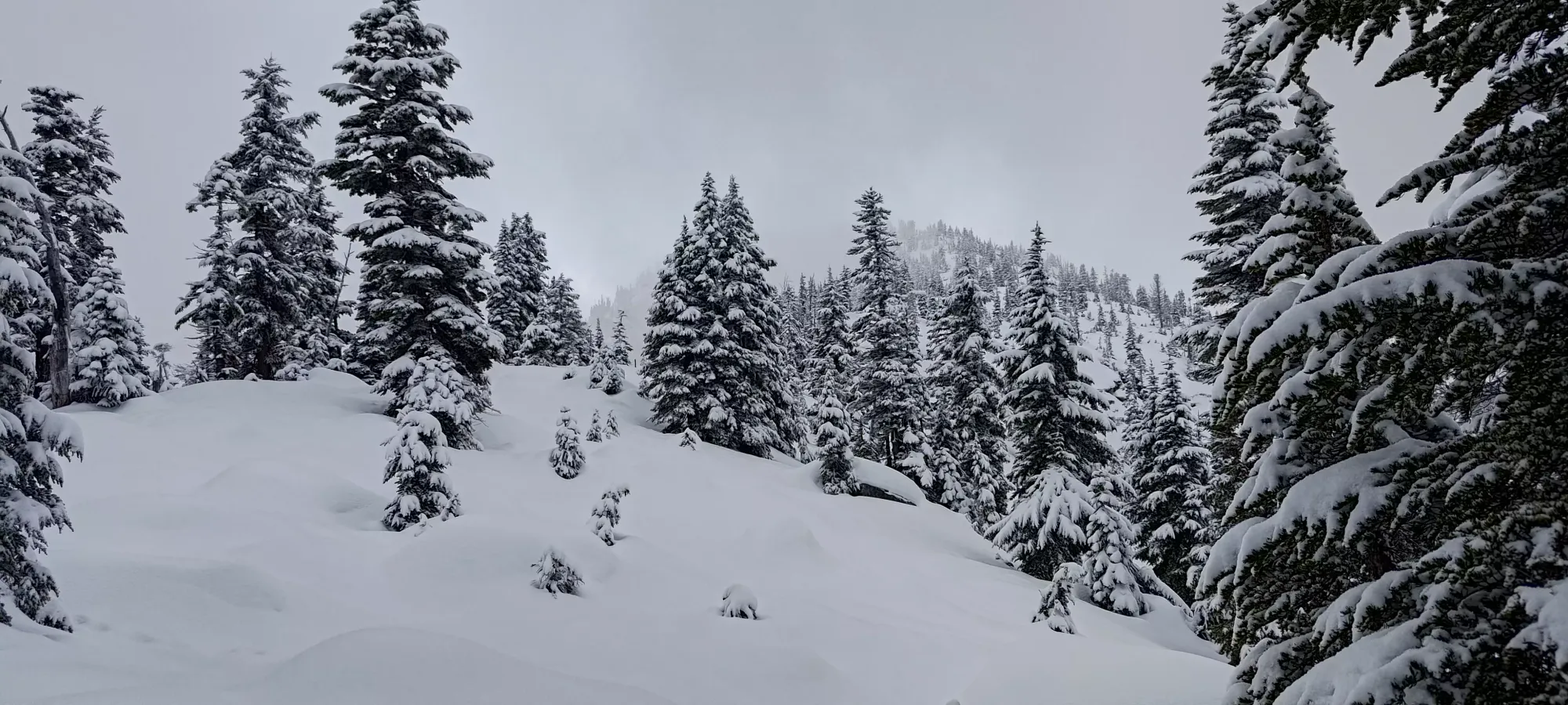
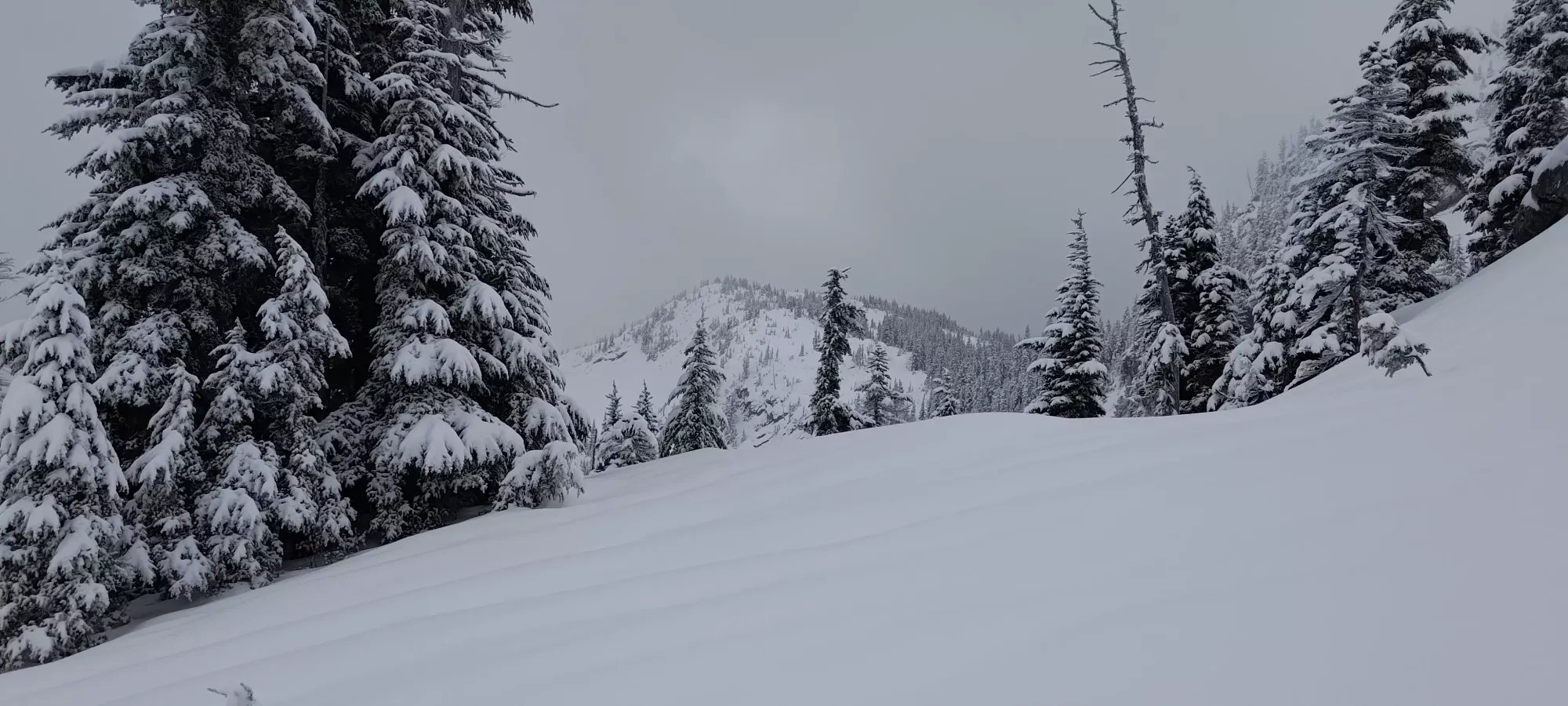
The ski down the ridge was actually very pleasant. We'd considered following the "typical ski route" down the N face and rejoining the trail, but in case things got delayed, I didn't want to lead PK on an epic nighttime bushwhack in unfamiliar terrain to get back to the car, so we decided to just follow the ridge back instead. This wasn't as steep, but the terrain was relatively open, and I managed to have fun. PK wasn't quite as excited to snowshoe down, but he was at least a lot less tired going down, and we made it to 1450m in about half an hour, where the open terrain kinda died out, and I decided to put the skis on my back.

I bootpacked down most of the rest of the ridge to the Iago-Zupjok col, but the postholing got really old, so eventually I figured the terrain was going to be flat enough to mostly skin, and put the skins back on, which was annoying at times, but overall better, for sure. The next 55 minutes were spent in an absolutely miserable re-thrash through the forest to emerge at the creek where things opened up again. PK was doing great on snowshoes, but it was too dense for me to ski in downhill mode (at least with the low snow cover on top of the density), and the inherent instability of downhill travel with loose heels and skins on combined with the constant showers of snow from daring to touch the trees resulted in a deluge of curses until we finally emerged into the open terrain at 4:40pm, just as things were getting darker.
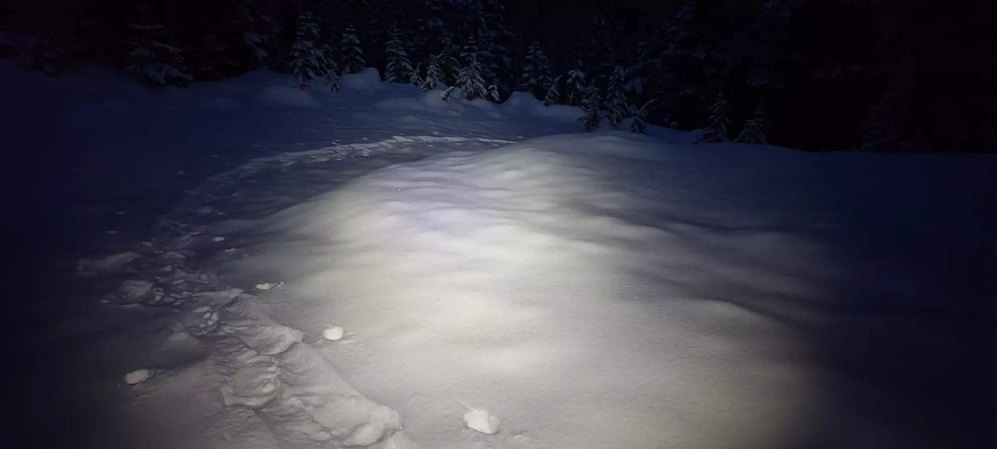
From there, I broke a new trail to the road on what I felt was better terrain, which ended up largely being "the Zupjok trail", as it turns out. Once we were on the road, it was just an hour of walking back to the car. I could've skied down to the log bridge, but it wasn't steep enough that skinning felt bad, and since PK was gonna be walking anyways, it was better to stay somewhat nearby, so we just slowly ambled our way out.
Overall, while the conditions weren't quite perfect, and I didn't manage to get both peaks, I got to reconnect with a friend I haven't really talked to since university, he did awesome and toughed out a winter summit, I still got a peak, and I even had some decent skiing for a few hundred metres, so I'd say this was a great success! I still don't get why this mountain is so popular for skiers given the section between the road and the E ridge of Iago, but hey, it's really not that long, and if you have snowshoes it is arguably "just fine", it's not super-dense. I'd say it's worth a trip out, though personally, I have other peaks I'd bring pure skiers to before this one.
GPX Track + Map