Hunter Hill - February 9 2025
Another of the small p100 peaks north of Mission, Hunter Hill makes for a nice easy peak if you need a quick summit or are otherwise limited in the difficulty of hike you're prepared for.

Chehalis, Mission, British Columbia
484m
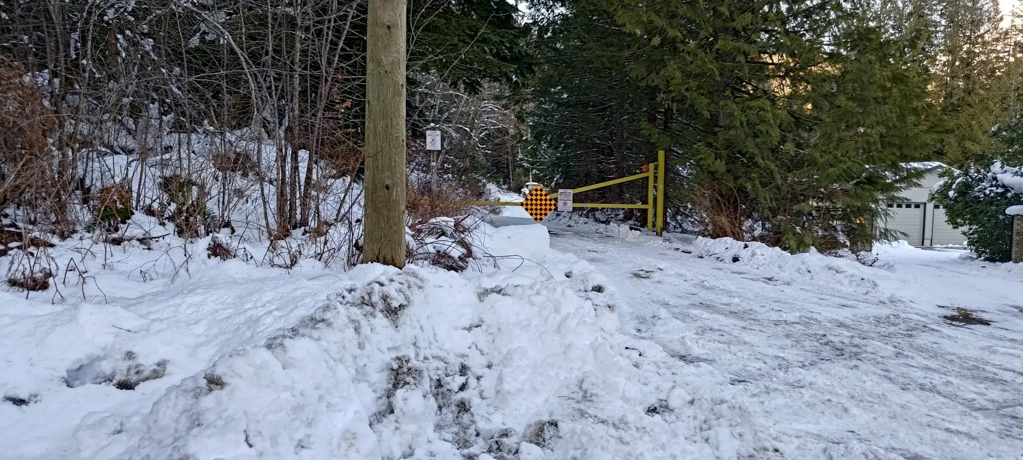
After bagging Bear Mountain nearby earlier in the day, as my first peak after a couple months out of action due to injury, we still had about 90 minutes until sundown, so we figured we may as well get one more peak before the day was over. I definitely felt the first peak from a fitness perspective, but wasn't pooped yet, so I was eager to nab a second peak. There was a lot of lost time to make up for, after all 😅 Hunter Hill was chosen due to proximity, length, and like the previous summit, having known roads/trails that get within spitting distance of the summit, as extensive bushwhacking through rough BC forests can often mean unexpected changes in footing that may put more force through one's knee than I was equipped to handle, so keeping things simple was key. So, we made the short drive over to the gate (of course it was gated) at the end of Sabo Street, and got walking a bit after 4:30pm.
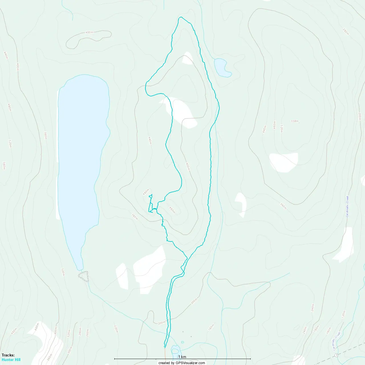
Like with most peaks of this (in)significance, we didn't do much research beyond "are there gates, and is there a way up", so we planned to take the most basic route of "follow the roads to the top, then 'schwack over to the summit once they end". That meant totally missing the existence of the Gathering Vertical trail that goes up the south side of the peak, and instead taking the 4.5km, undulating, circuitous route from south of the peak all the way to the north side, then looping back up the north side 🙃.
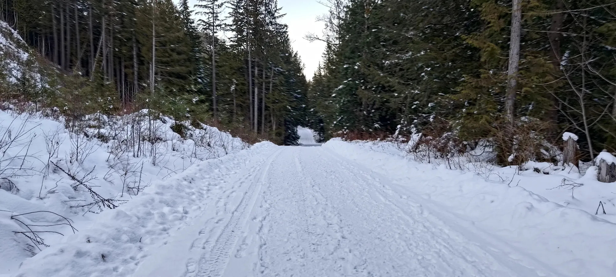
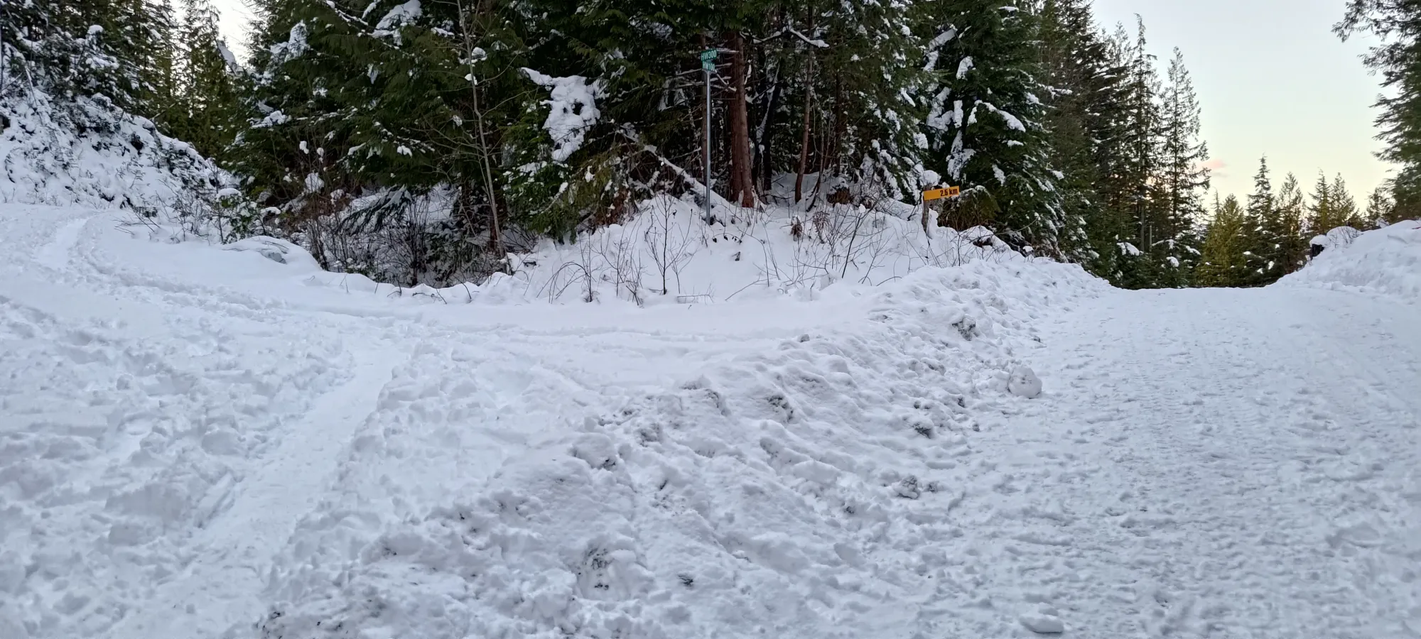
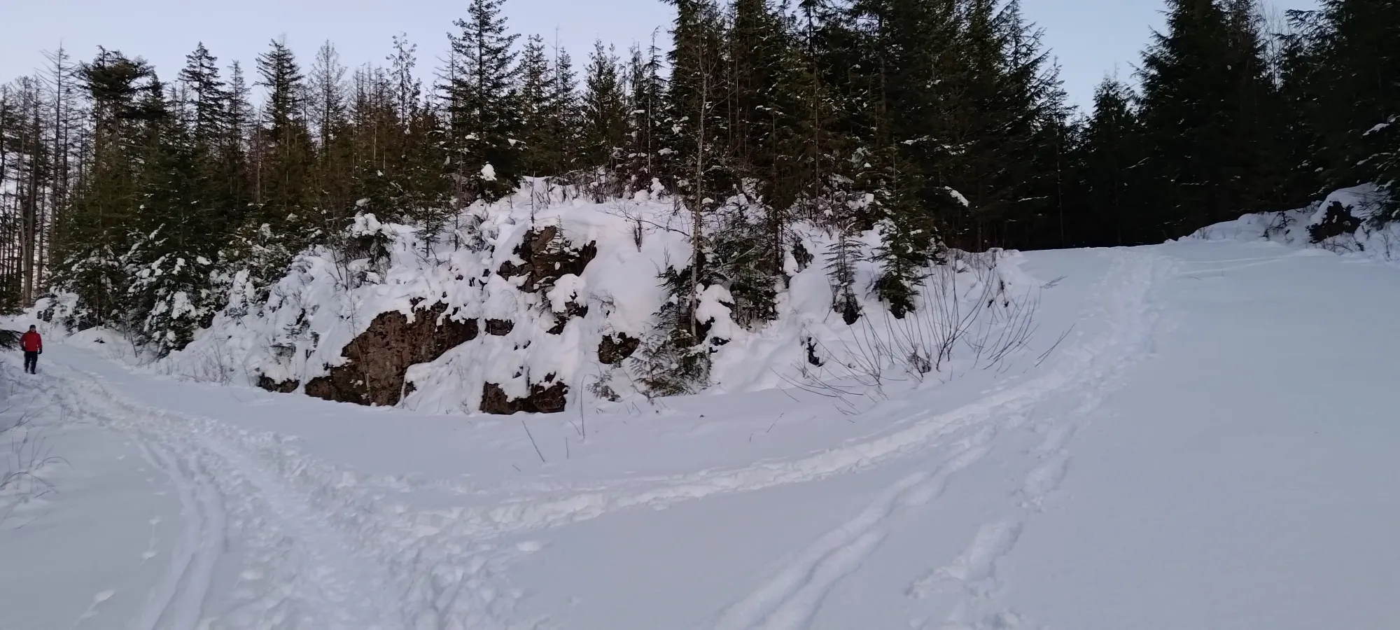
The road started out a bit bare, but quickly got continuous snow cover as we headed north. Annoyingly, after a steep initial climb to 350m from below 200m, we had to undulate for about 50m of elevation until we hit a fork at 2.5km, where we took HW-300 instead of HW-100, and also split off the ploughed road onto an unmaintained one. We took things a bit easier on this one, so I avoided working up a big sweat, though my legs were feeling the muscular load already.
Once we got onto the fork, we noticed that some absolute madlad had actually skinned up on this road! Nicely done! I would've loved to do the same, but sadly my doctor was quite insistent that I don't try skiing until my next appointment, so boring trudging it is for now 😅
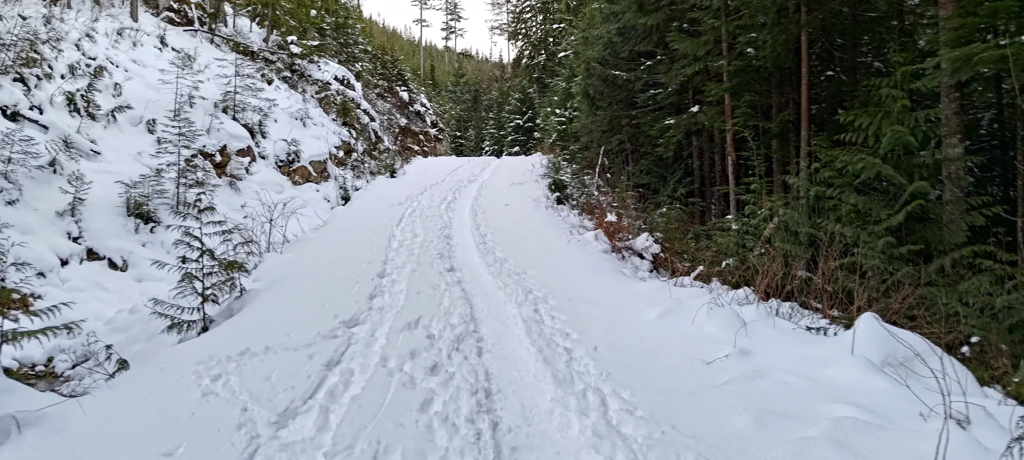
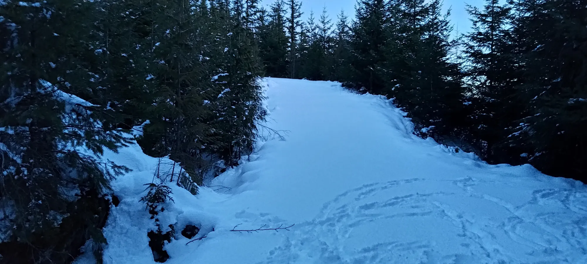
I started really feeling the muscle tiredness as we gained up this section of spur roads, but Logan did a good job keeping me moving and not letting the pace crater, which was good. My secondary goal (aside from peakbagging itself, of course), was to push myself and start rebuilding stamina, after all. We passed the HW-120 fork, and then reached an abrupt end to the tracks on the road at about 470m, where they dipped into the forest towards the true summit. That worked for us, so we followed them into the woods. This was at about 5:40pm.
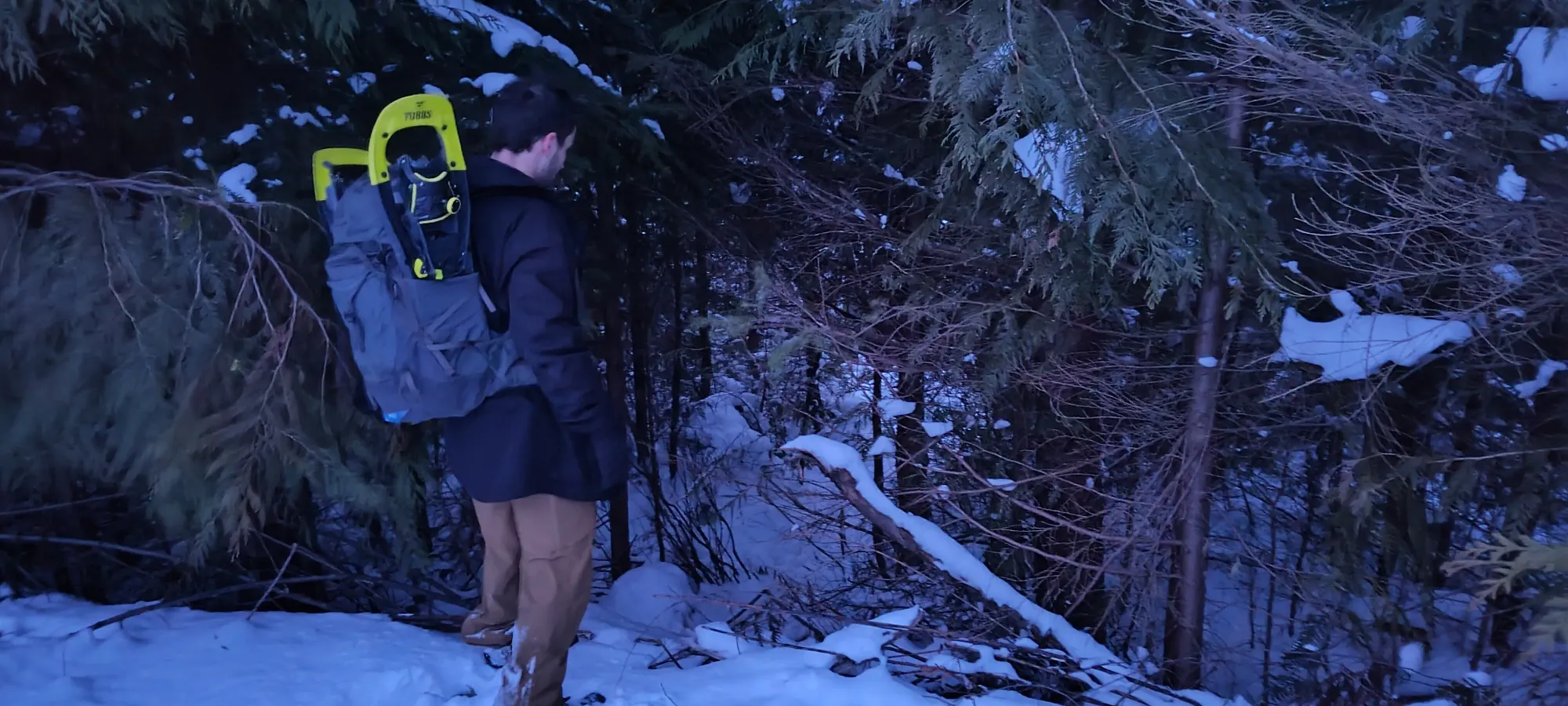
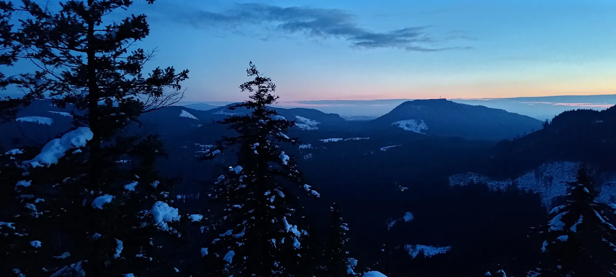
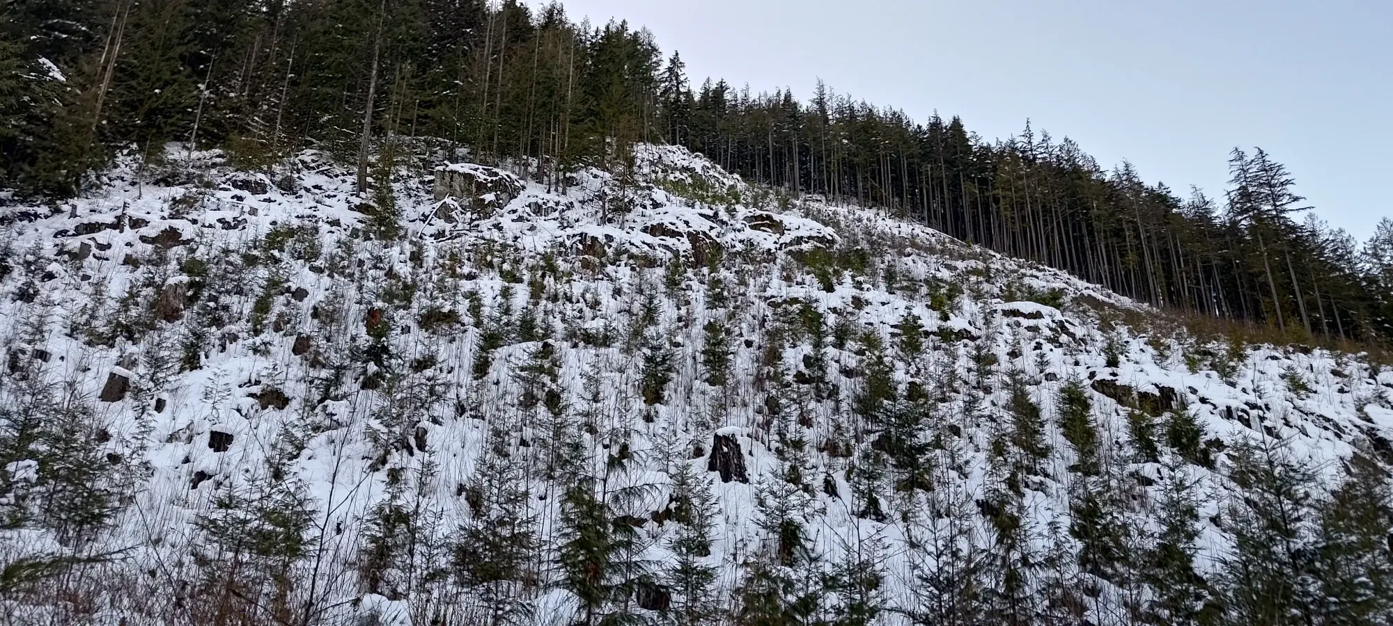
There, we descended a few metres to cross a small valley separating the twin "summits" of the hill, and then started traversing south below the supposed true summit until we found the tracks heading up on some easier slopes to the west. This brought us to a nice viewpoint, though it was clearly not the true summit, as immediately north, we could see higher ground.

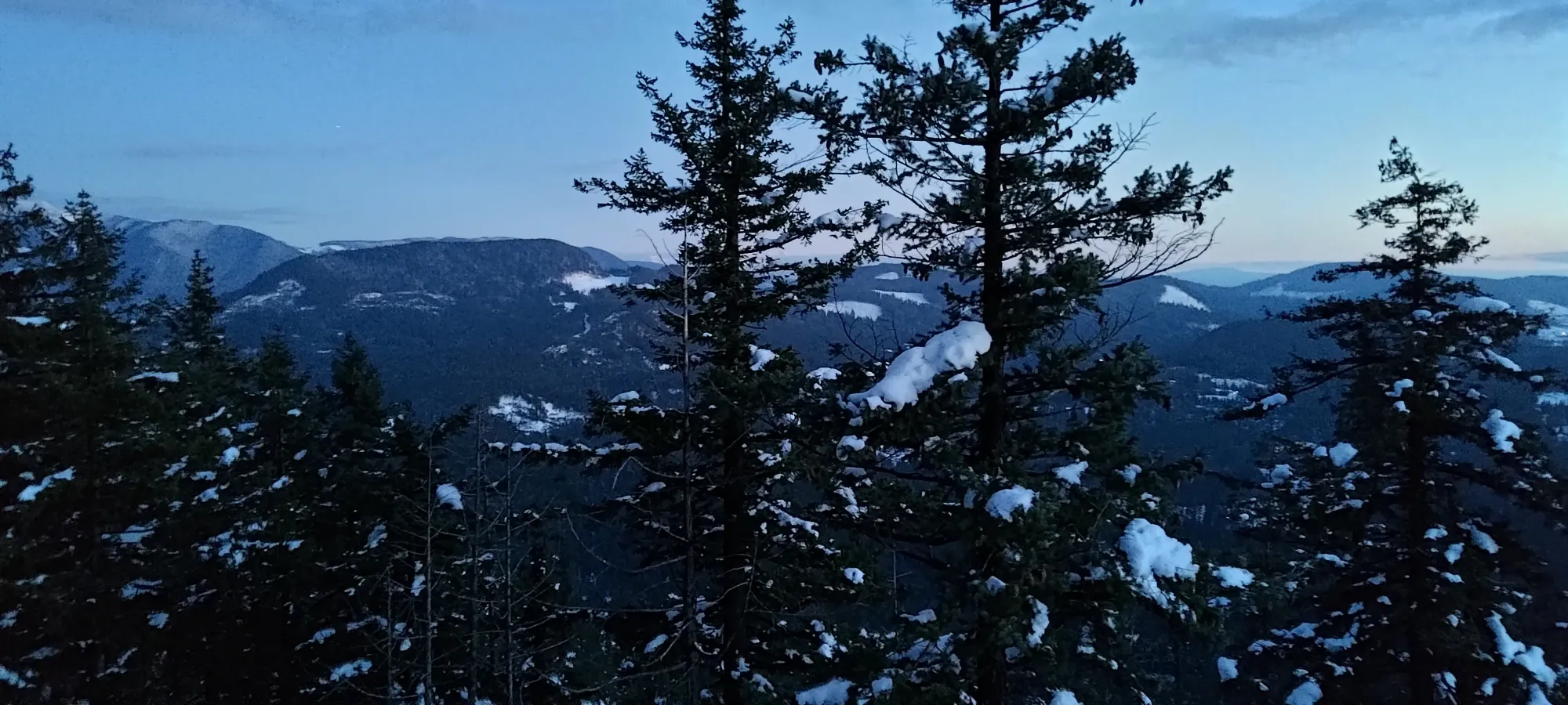
While the views were a nice surprise, we had more practical goals in mind, so we returned to the "col" between the viewpoint and the summit, and then curved up on the west side of the summit bump, up some snowy ledges that looked less steep, and less bushy than the eastern side we'd seen from the forest.
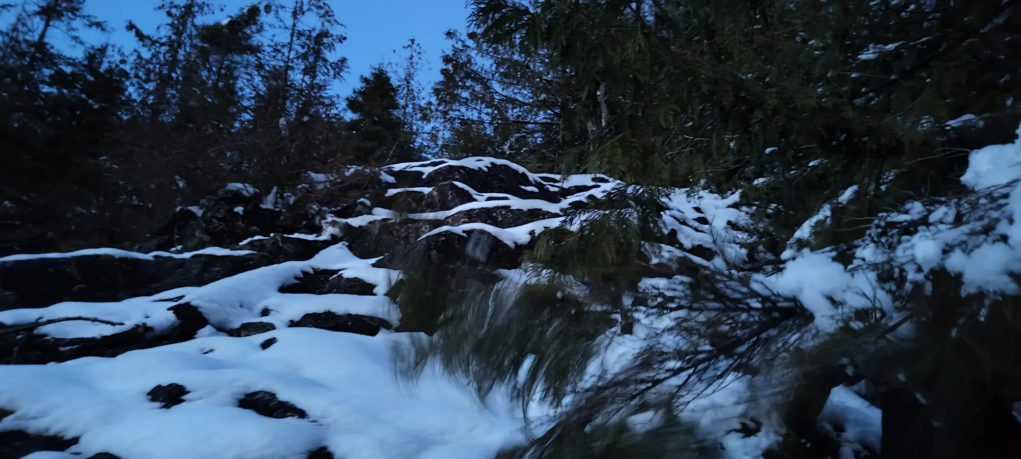
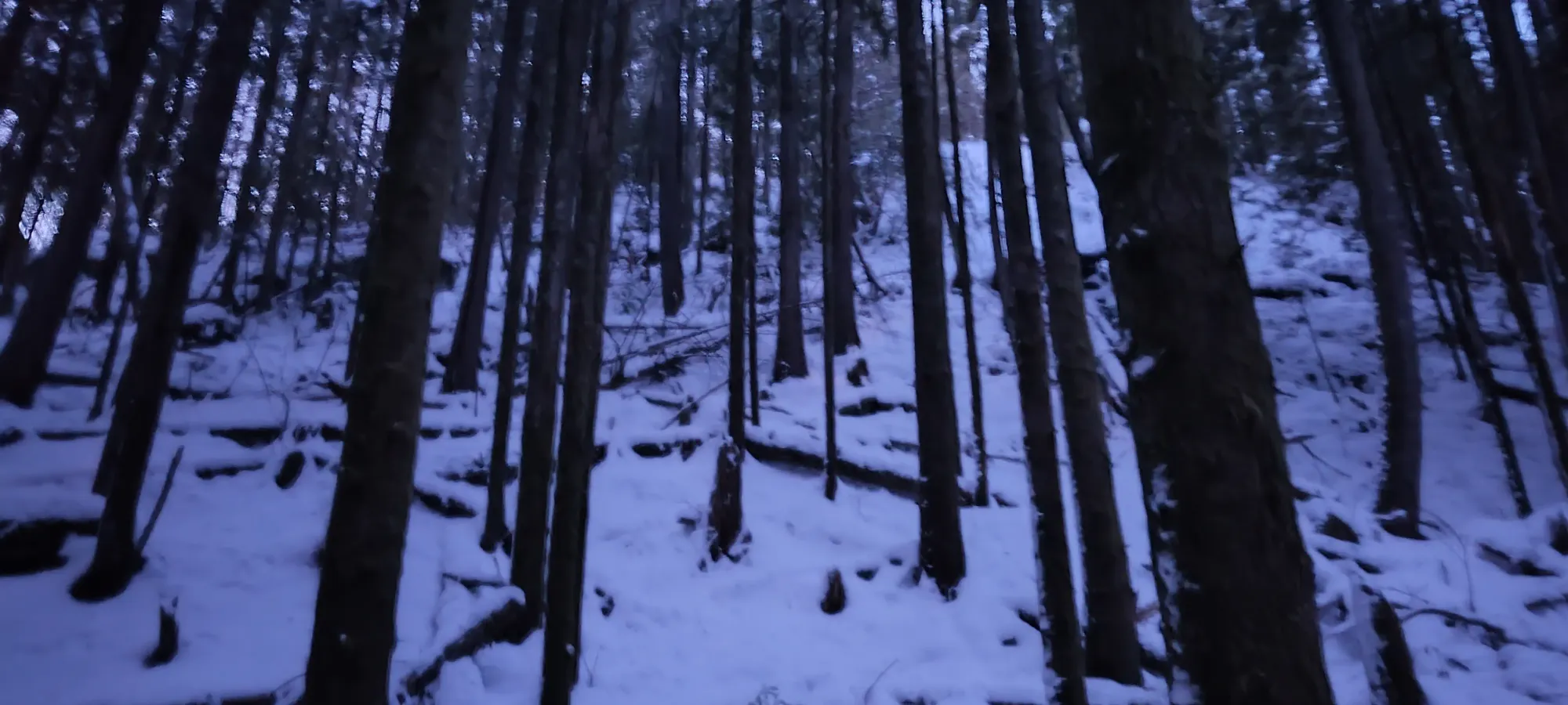
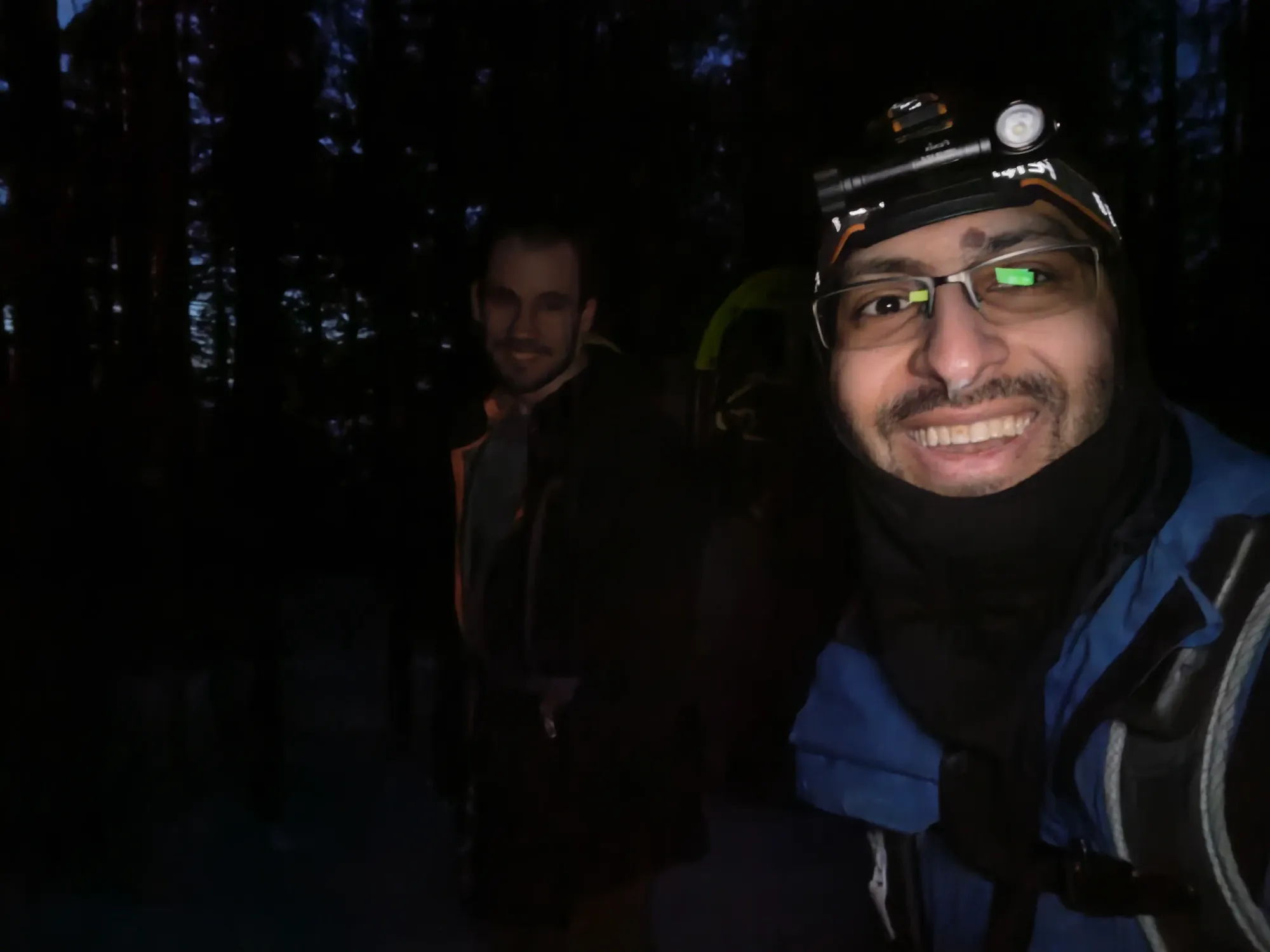
There were one or two moves up the ledges that required a bit of precise footwork in the snow, but we managed alright. Once we were up the ledges, it was just a couple minutes of wandering up until things stopped going up. We found the true summit, took a very-dark photo for posterity (headlamps on at this point), then started working on a descent plan.
Once we walked over the couple bumps that were in contention for the highest point, we tried to shortcut our way back to the trail, but ended up cutting too aggressively to the northeast (instead of just heading straight east), so we ended up following some pink flagging instead, which allowed us to trace a slightly easier path back to our uptrack. This actually spat us out at a sign for a trail, which indicated one could return to the parking area by taking it! This led us to look at our maps, and realise we took a ridiculously circuitous route up, and that the Gathering Vertical trail basically just went from the summit right back to the start of the road, so we agreed, especially since there were footprints to follow, that this would be a much better return route than retracing the 4.5km of roads we'd taken up.
That ended up being a great decision, as the return from that point was just 1.5km, compared to nearly 5 if we'd taken our uptrack. It was a bit steeper, of course, but nothing I was unable to safely navigate just by taking it slow at the bigger steps. I did need a rest break and even had some water near the bottom, as I was really feeling the exertion by this point, but overall, it was super efficient, and we made it back to the car in under 40 minutes, even with a decent rest break en-route.
Like the previous peak of this trip, Hunter Hill is not particularly inspiring or challenging, but it was "a summit", and it fit well into the type of terrain (and individual size) one should stick to for their first exercise after 2 months of not using their legs. 10/10 would recommend, in the right context, at least.
GPX Track + Map