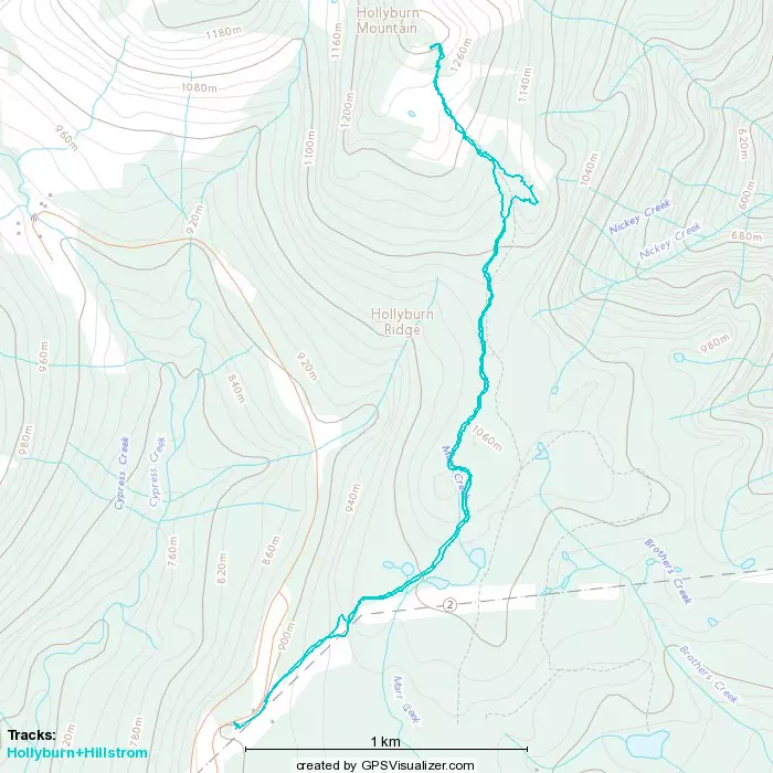
Hollyburn Mountain - March 2 2023
I had an appointment in the city this morning, so naturally I had to leverage needing to drive down to bad something!
North Vancouver Area, West Vancouver, BC
1326m
I've been saving this one for a day when "I had to drive into the city anyway", and sure enough, this Thursday, I had a procedure booked at St Paul's for 11:30, just enough time to slip into Cypress after the 7:00 gate and bag Hollyburn. Bonus points for the provisional subpeak Hillstrom, and for the fresh snow that'd hopefully make it an enjoyable ski down. That snow was also the reason the avy forecast was 4-4-4, though, so I decided to take the southern, mellow hiker's route instead of the western skier's route, just to be safe given I was solo on a high-risk day.
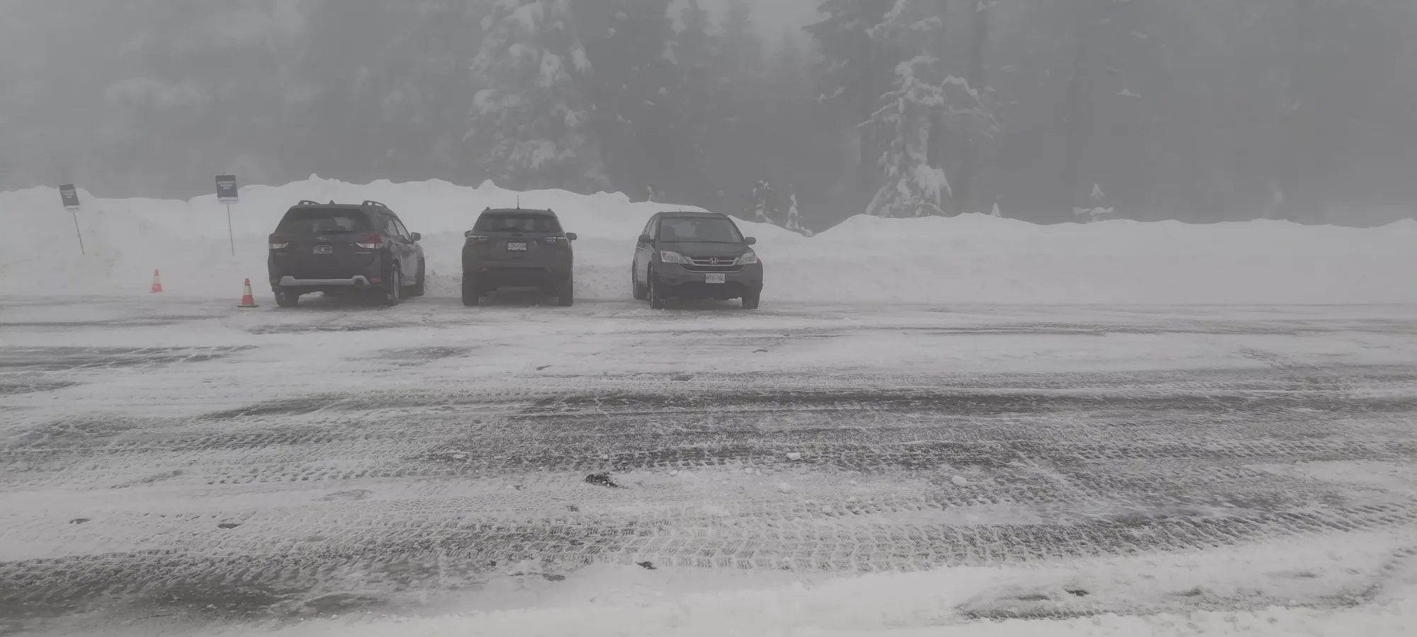
I got through the gate at 7:07, as they were still taking the signs down. The drive up was not very expedient though, as the snow clearing was not perfect and it was pretty slippery. Add to that the god-awful visibility (about 5m), and we had some very careful driving conditions. That visibility led me to park at the actual cross-country parking near the trailhead instead of hunting for the free lot further up the road, as I wasn't sure if I could see the lot, if it would be plowed, or if I could cross the road without getting smashed by a driver who couldn't see me. I rolled the dice and didn't pay for parking, figuring they probably wouldn't check until it was later in the day, and I could use the somewhat viable "the office was closed" excuse. This ended up being successful, but your mileage may vary. I geared up and departed the car at 7:30am, giving myself 2 hours to get up, so I could make sure I got to my friend's place in the West End with enough time to park+walk to the hospital if the descent ended up being slow for some reason.
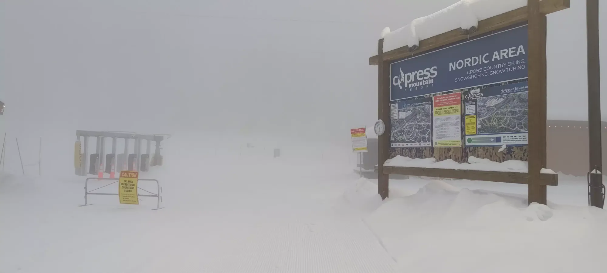
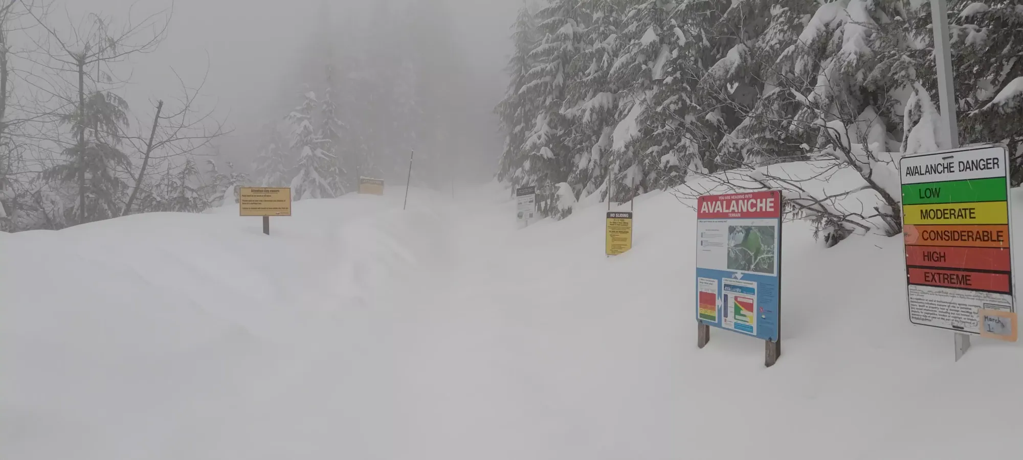
I started out skinning along the groomed resort trail heading left facing away from the cars, toward the above signs. However, after a couple minutes, that went away, and I saw the hiking trail marked below, so I carefully extricated myself down the snowbank, and got myself onto the trail proper. I was momentarily surprised not to find any tracks on in, before I remembered "oh yeah it's a pow day and it just opened", which explains that rather clearly. Oh well, it's a short day, a little trail breaking never hurt anyone. Onward and upward!
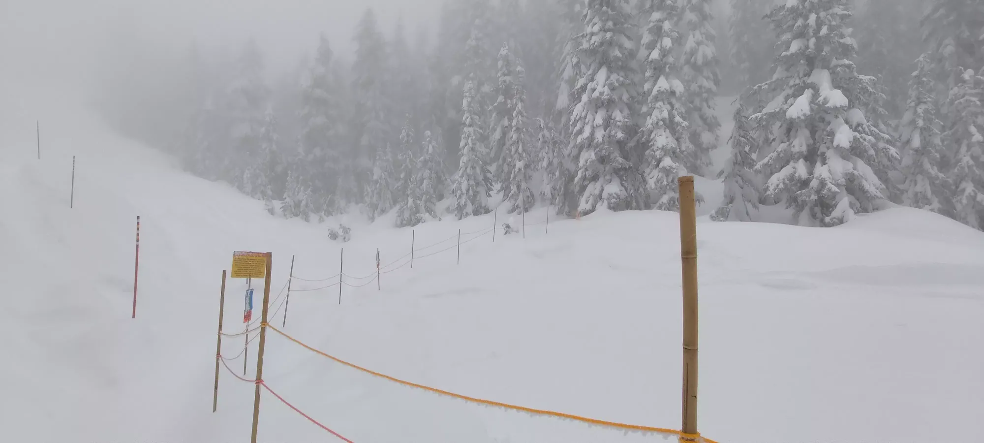
The trail was pretty wide, usually enough you could make some turns, somewhat Red Heather-esque. However, unlike that trail, it had a very defined "trough" which was broken by hikers/snowshoers going single-track, so skinning up side-by-each would be difficult, and skiing down would require some (but not unreasonable amounts of) care to get through/over said trough when turning. As for the snow, ski penetration was about 5-7cm in the trough, and about 30-40cm when going out of it. So usually not too much extra work, but anytime you had to deviate, it got pretty slog-like. I trudged up for about 45 minutes before taking my first picture, at the junction where the top of the groomed trails end (you might be able to have easier skinning terrain if you pay for a ticket to this point), and you also could find Hillstrom to climber's right somewhere in the forest. I didn't see an obvious way or even the peak itself, so I decided to wait for the way down, as it looked kinda like a lookout I might be able to just ski onto based on contour maps.
At this point, the trail went from "a narrow track surrounded by trees" to "a few tracks (still all snowed over though) in a more open slope with trees on the sides of the slope". It also got steeper at this point, enough that in some spots I had to deviate from the snowshoe trail and skin up with more switchbacks to avoid slipping without crampons on. The visibility without trees everywhere was also quite poor, so it was hard to stay over the old track even when you wanted to, as you just couldn't see the depth of the surrounding snow, and I ended up on the sides of the troughs instead of in them every so often.
The first 45 minutes brought me from 900m to just over 1100m, and the next 35 minutes on this steeper terrain brought me to the top at 1326m (though I measured a couple metres higher, which makes sense given the snow coverage). It was definitely more tiring to do the second leg, as I hit totally untouched (ever) snow more often, and had to do more "technical skinning" to get up the steeper hills.
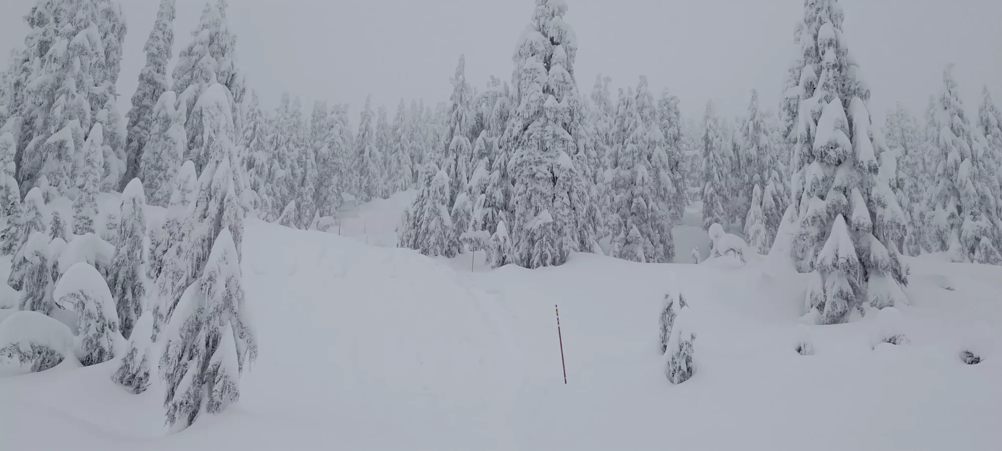
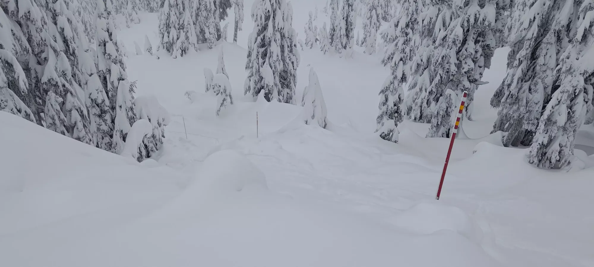
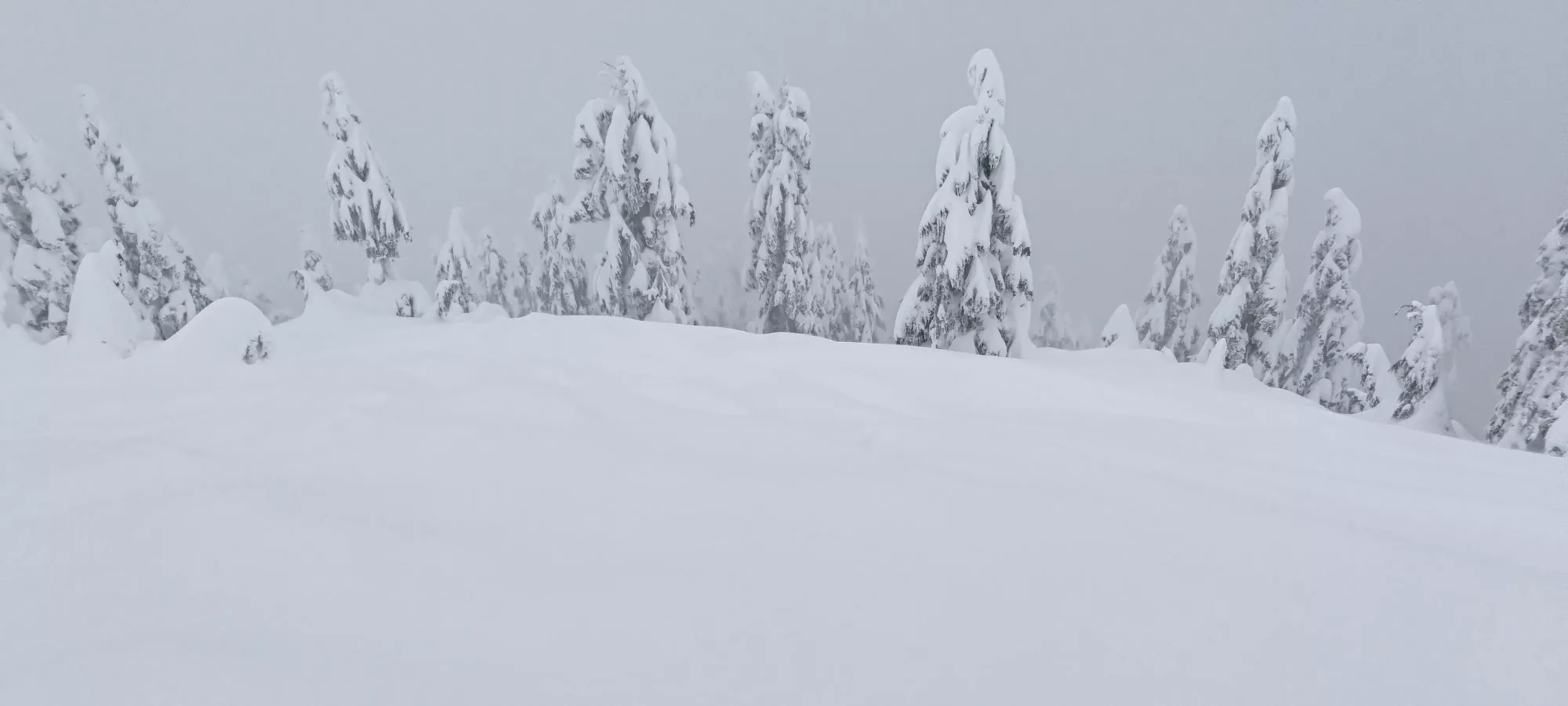
Once on top, I took some pictures on the false summit (a flatter spot between a couple small knolls), then tagged the top before transitioning for the way down. I decided to be proactive and stomp down the area where I'd be transitioning to save myself from postholing, but all I did was go knee-deep instead of waist-deep 😅
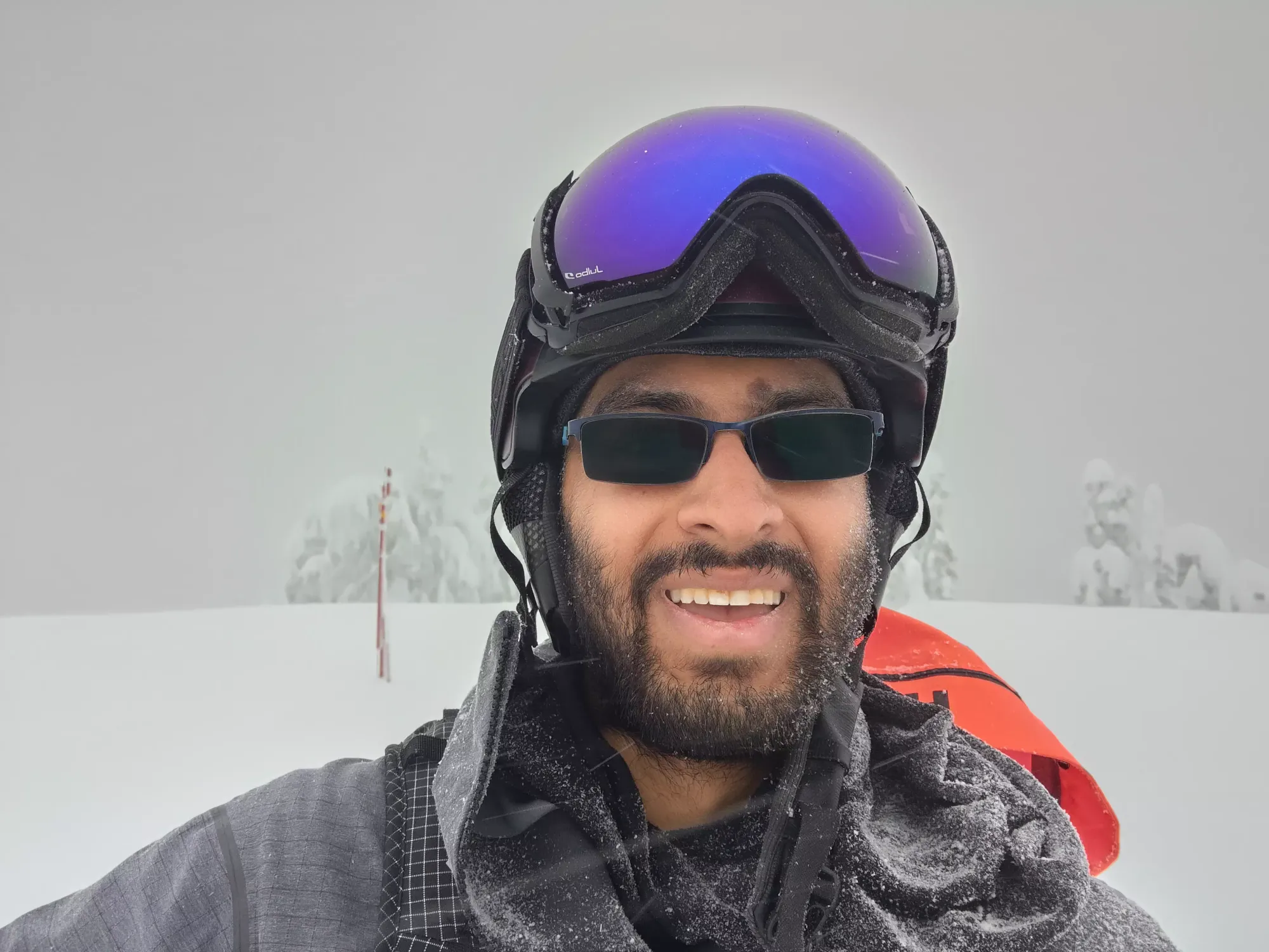
After a quick transition, I started the ski down. Unfortunately, the snow had a bit of a thin, wet crust on top with a lot of new, heavy, west coast pow below, which combined with the mellow terrain made for pretty sluggish travel. It was still more fun than walking, but not quite the same as the powder I'd ripped on Sunday at Whistler-Blackcomb. But hey, for a quick pre-procedure peakbag, I'll take it.
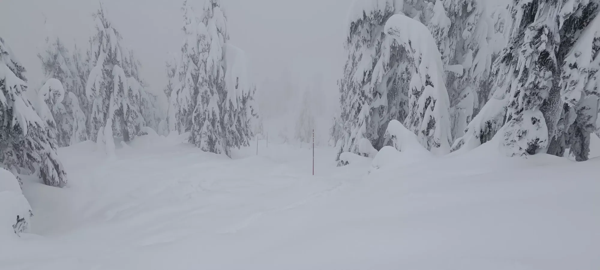
After some decent turns down to about the elevation of Hillstrom (1159m), I stopped to try and find the best way in. I eventually decided on a gap in the trees that looked about elevation-correct, and tried to traverse over. Of course, with the low slope angle and super grippy snow, I didn't get far before I had to slap the skins on again 😅
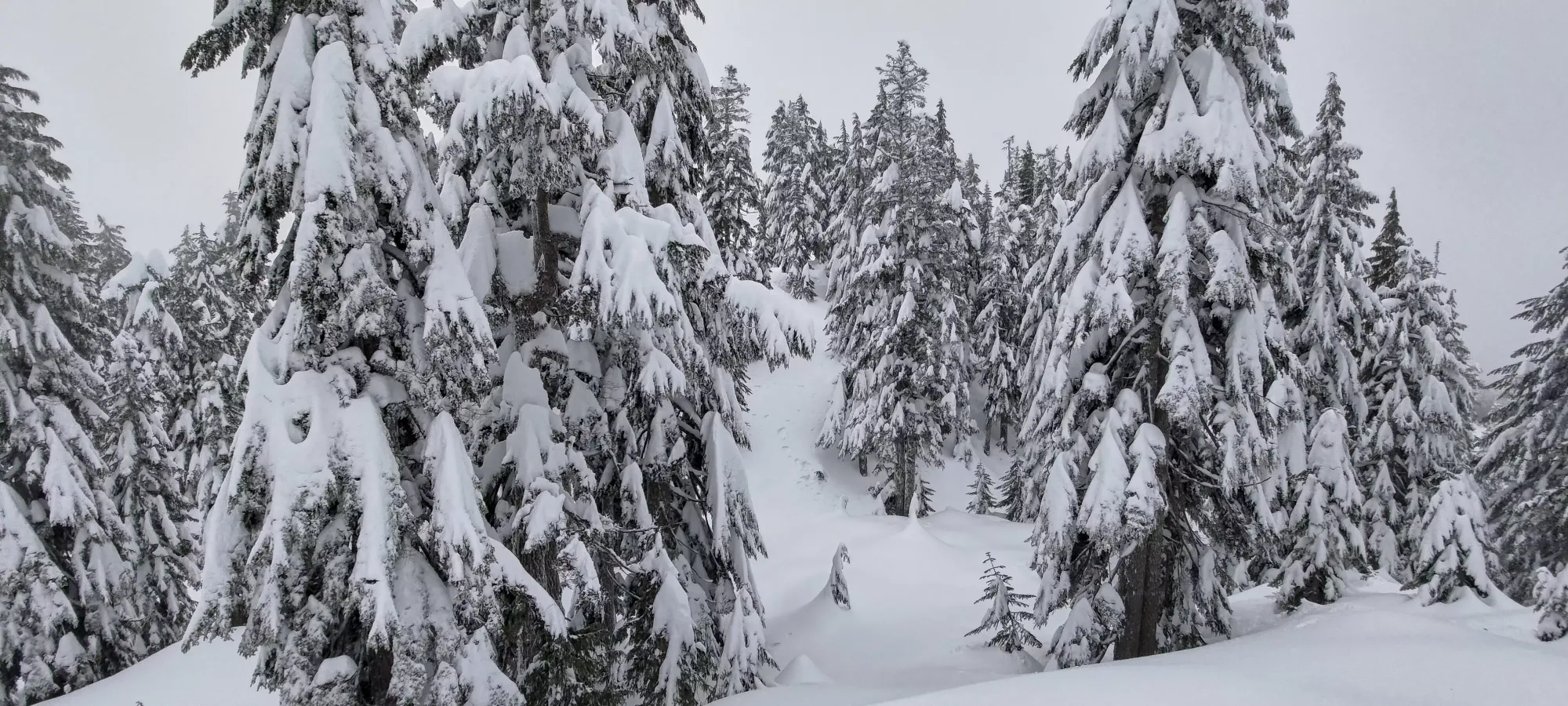
The skinning over and down the knoll was much slower+deeper than Hollyburn, as seemingly nobody had been over this way in quite a long time. Once I bottomed out the little valley before the "peak", I got to see a very steep slope in front of me. If the snow wasn't waist+ deep, I'd normally bootpack a slope like this, but since I was solo, there was a non-zero chance I'd just slip my entire body into the snow and disappear, so instead, I decided to accept the risk of a small slide (they'd be more annoyances than burials with trees breaking up any potential slabs, not to mention the sub-crust snow not bonding particularly well to fellow snowflakes in my experience so far in the day), and instead cut a very weird skin track up in long switchbacks.
It was tough going, as each switchback was a lot more sideways than up, and each step penetrated over a foot before settling and supporting my weight, but with about 10 minutes of perseverance, I got myself onto the underwhelming top.
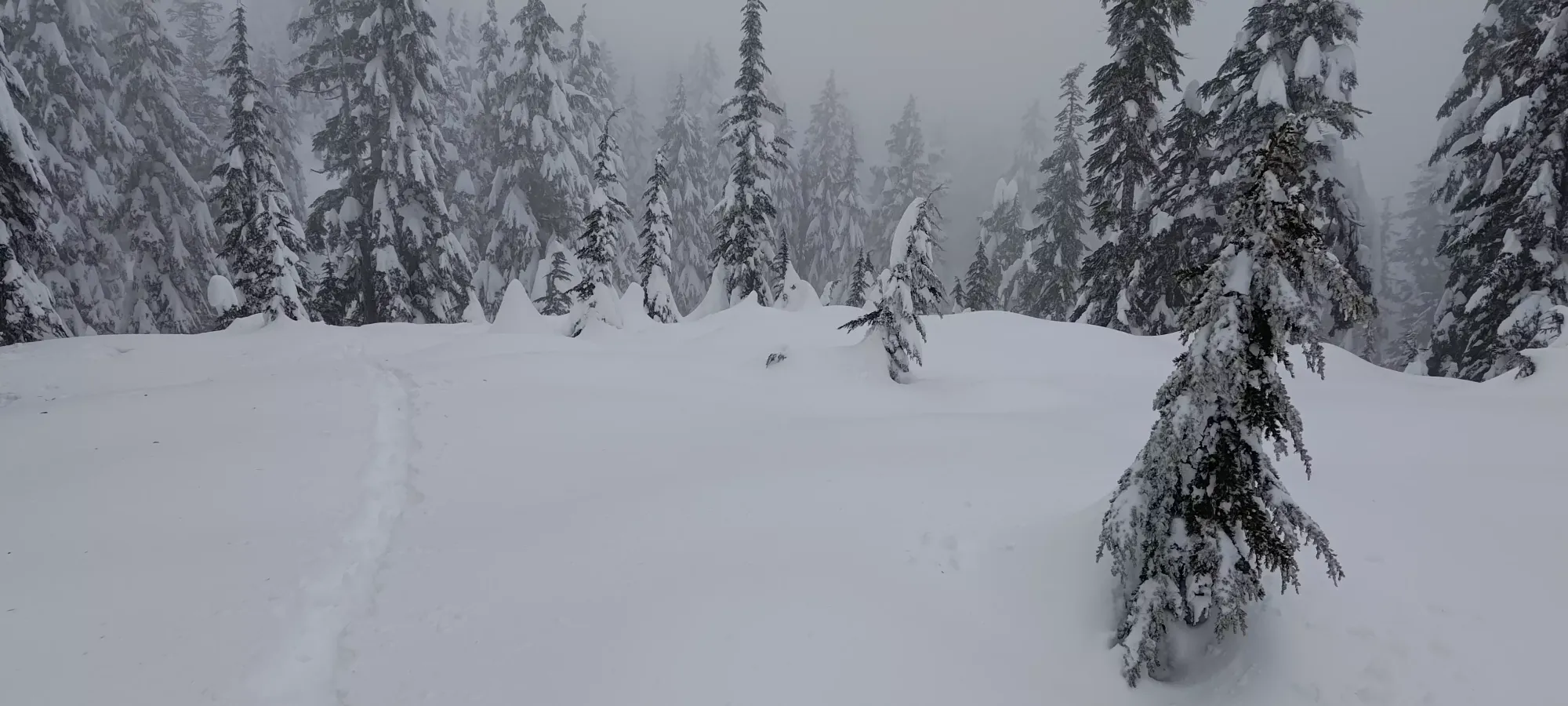
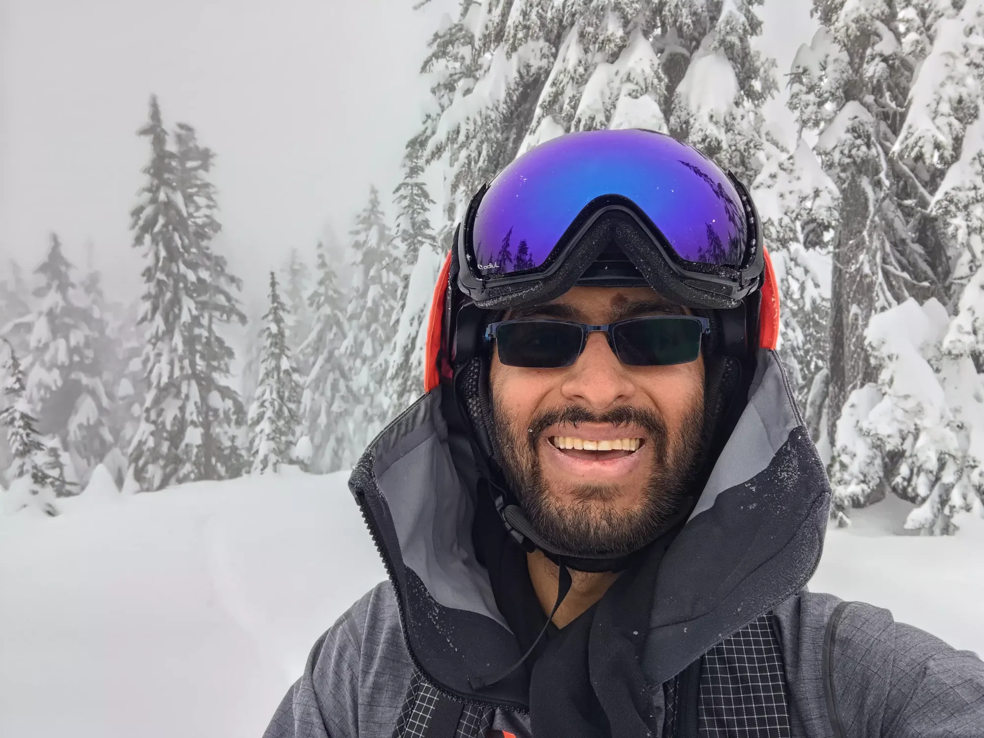
From the top of Hillstrom, I decided to try and cut directly over to the main trail instead of retracing, and so headed straight west off the "peak" hoping to find a more direct, and not-uphill way onto the trail. This worked pretty well, taking only about 5 minutes, though it felt a lot longer than it was. I kept my skins on despite it being downhill due to me knowing the snow conditions wouldn't give me enough speed to get over in downhill mode, and only fell once trying to telemark turn in the deep stuff 🤣 (maybe I should get some tele lessons at some point, would make downhill sections with skins on/heels unlocked much easier). On that short skin over, I found some animal tracks which looked pretty big, and hoped I wasn't about to be eaten alive (though I wasn't actually very concerned, it was a good reminder that animals are a lot more active in lower elevations like the North Shore, even in winter).
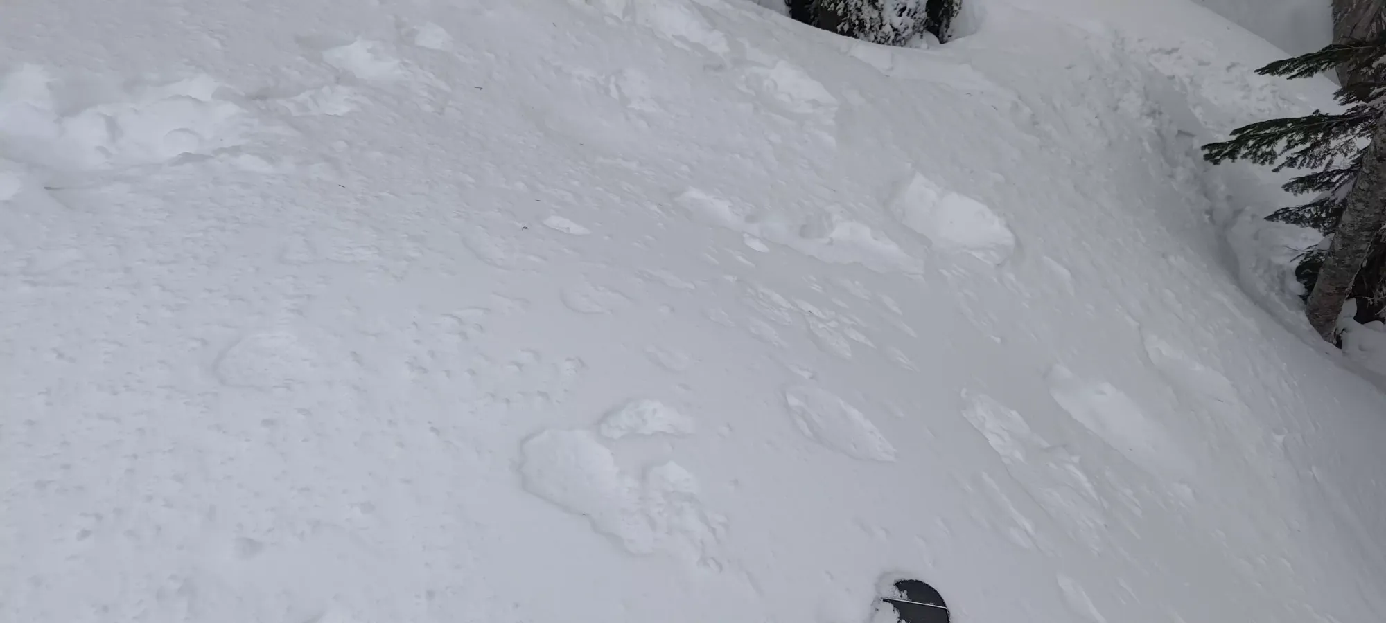
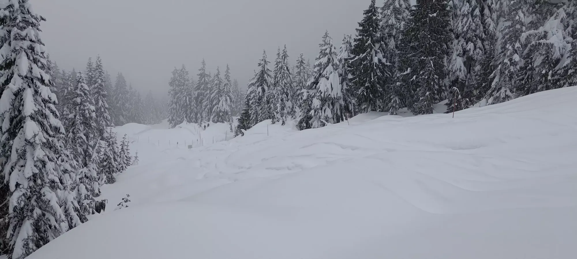
I got back to the above point 2 hours into the day (9:30), and from there it was a much simpler descent. The first bit pictured above was decent fun, and there were a few more sections steep enough I could go off-trail and enjoy the deep snow. For the most part, though, it was a lot of shuffling forward on flat ground, pushing forward with poles, and short bootpacks uphill where I couldn't get enough speed to go up on skis. I found a couple groups of people coming up who were grateful for the broken trail along the way, so I got to feel some "community do-gooder pride" there. The first couple were snowshoers, but as I got closer to the car, a few even had skis, which made me feel safer in my interpretation of the "no sliding devices" sign at the front as pertaining to sleds and not skis.
The final descent to the car was actually pretty nice, it opens up a bit at 1000m, you can see where the trailhead is, where the uphill trail goes into the forest, and you can ski a couple of turns on a steeper face that goes more directly to the lower part of the trail. That was probably the best skiing of the day, to be honest. I'm sure the "real" ski trail on the west face is more fun, but it wasn't something I wanted to chance with the high risk forecast, substantial storm snow, and the highly reactive snow I was skiing the day prior on-resort. Plus this way I got to bag the extra provisional peak :) Overall a successful morning trip, I got 2 peaks, some skiing, made my appointment, and even had time to shower in-between! Plus I got to ski Hollyburn with decent snow, which isn't the easiest thing to do with the warm weather and low elevation of West Van's mountains.
GPX Track + Map
