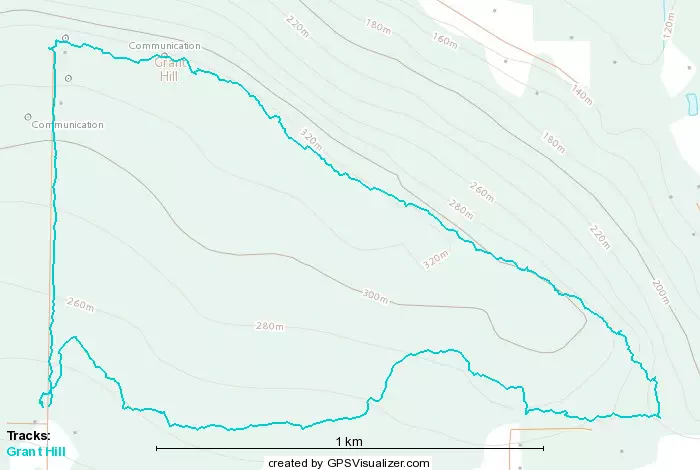
Grant Hill - June 4 2023
A quick, last minute trashbag to keep the train rolling
Golden Ears Ranges, Maple Ridge, British Columbia
335m
After now 2 successful outings post-injury, I didn't want to stop the ball from rolling with time left in the weekend, so I did some last-minute peakbagger-browsing to see if there was something I could work into the day. I was working in the morning, and Logan was out climbing, but he had plans to meet his parents for dinner near Maple Ridge, and they were planning to do at least some walking beforehand. I figured that'd be a perfect occasion to crash (I'd been meaning to meet up with them for a while anyway), so I looked for something quick nearby, and found Grant Hill.
Logan took a while to finish his climbing for the day, so we ended up meeting quite late, around 7:30. We did manage to arrive at good times at least, I had just enough time to get my hiking shoes on at the trailhead before his parents arrived, and we set out about 7 minutes later from 243m elevation, where the road is gated.
Since we were trying to get out before dark, I didn't take many pictures, so this will be a fairly brief TR. It will also be that because the terrain was very simple, starting off as basically just a fairly flat dirt path going to the east side of the "recreation area". This was a people, horse, and bike friendly path, and you could probably take one of those toy cars you get for your 5-year-old down too if you wanted, given how good shape it was in.
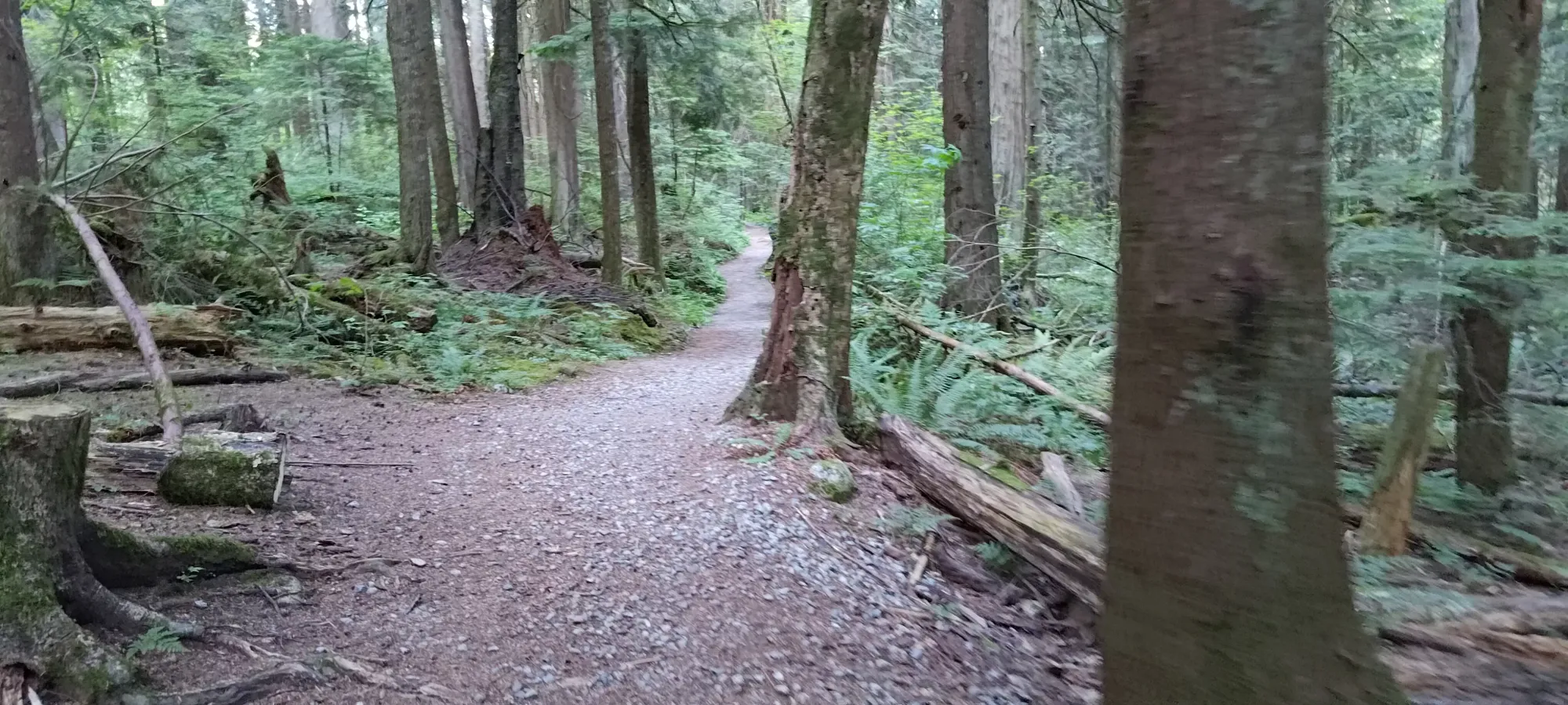
We traversed east for about half an hour, passing many forks that upon further inspection (cannot stress enough how thrown-together this trip was) were probably both shorter AND less steep, but oh well, more time hanging out isn't bad either. Once we finally got to where the track we'd decided to use told us to turn left uphill, it turned into a steep, self-proclaimed "grind" (the Thornhill Grind, not to be confused with the grind of getting through traffic in Thornhill, Ontario).
This was a pretty good trail for me, actually. The steeper parts were cut into stairs, which I do okay with on the uphill, so no terrain issues to speak of, really. We didn't sprint up by any means, but we moved fast enough to get my heart rate up a bit, which was nice. This only lasted about 10 minutes. The next 20 or so were just walking along the ridge until we found the high point. This was slightly off-trail, so we took a short excursion into the bush to find it.
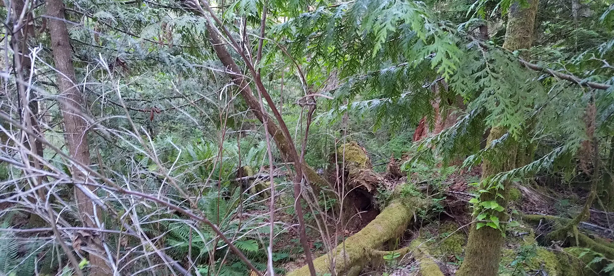
This was not difficult bushwhacking, though I did have to be careful that any steps I took were solid, as absorbing the sudden impact of the branches beneath your foot breaking is not something I'm currently "built for". Thankfully this was only for a few minutes, so it wasn't too tedious to endure. We got to the highest-looking bump, snagged some pics, then darted back onto the trail.
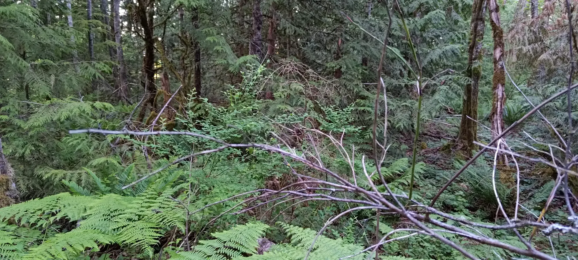
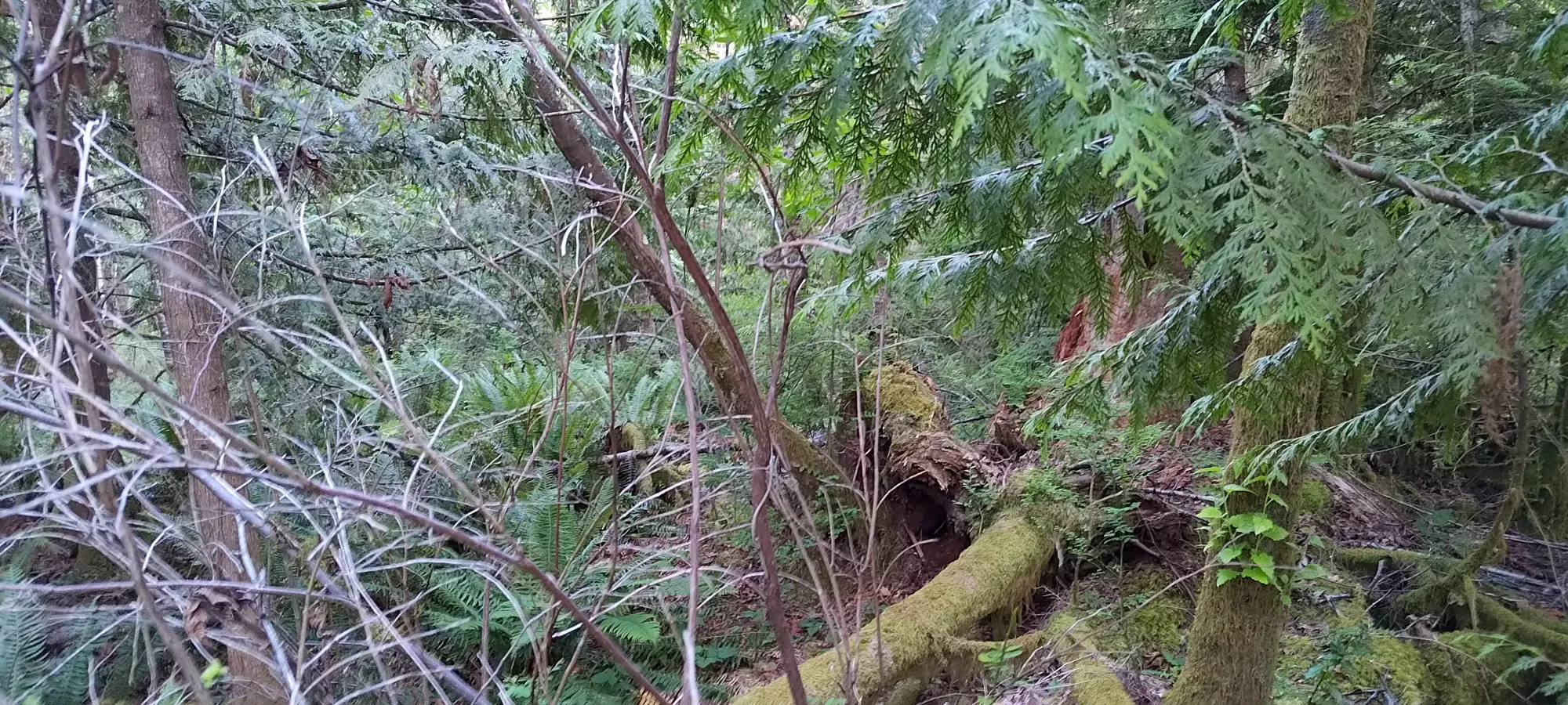
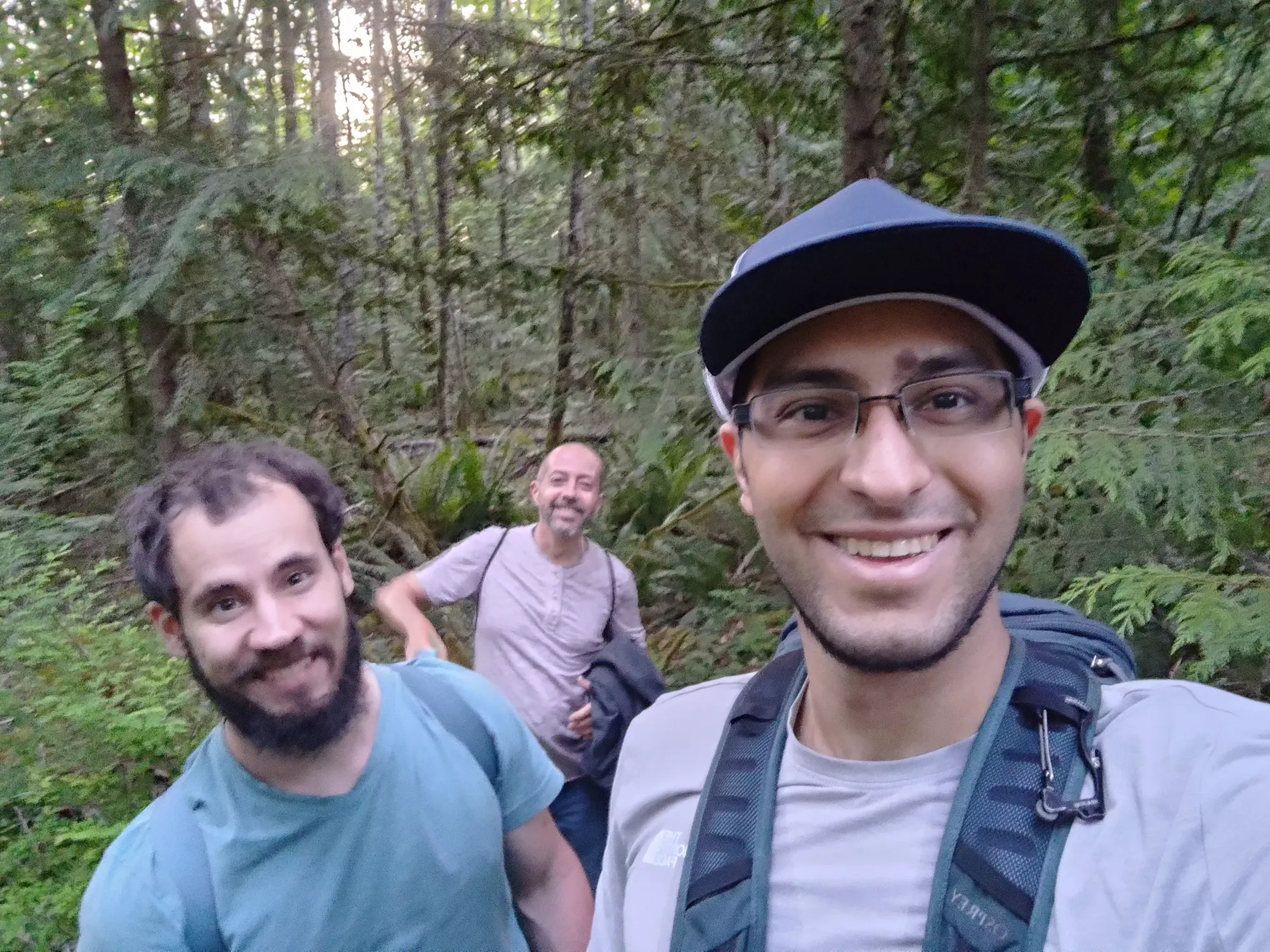
From there, it was just another couple minutes until we got to the communications towers at the top of the gated road. We stopped here for another couple pictures before deciding to just head down the road to ensure we got out sooner rather than later. Given my eventual arrival at home was at about 11:30pm, this was probably a good call.
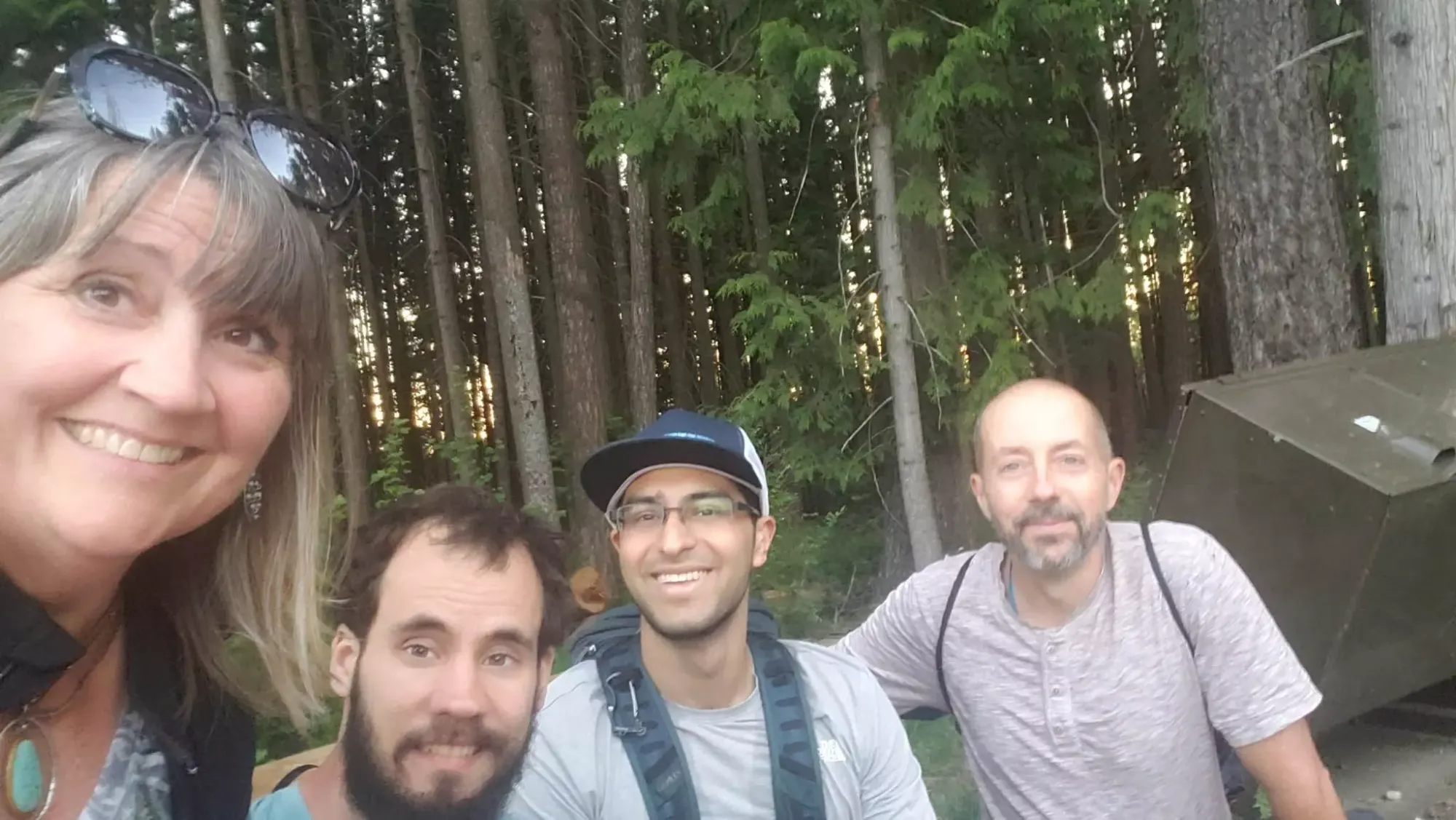
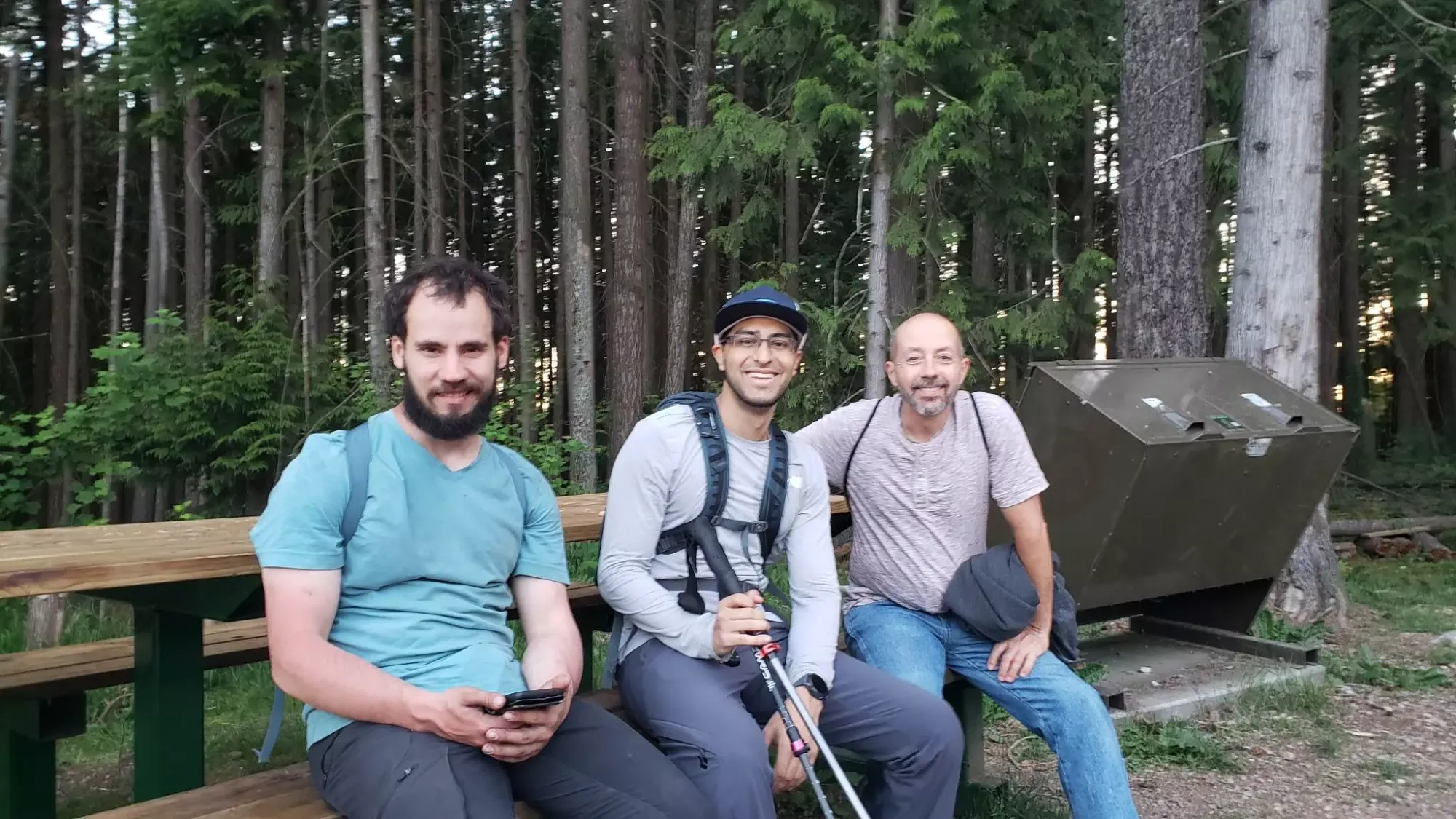
This was a pretty short trip, and honestly the trail isn't particularly interesting and there aren't a ton of views to be had either. I'd recommend this if you like mountain biking as there's lots of fun ways to get around on those, but I'd only seek it out otherwise if you're injured or short on time and need a trash summit to fill your time. For me, the trip was more about "just getting out" with my injury, and having a good time with the people I was with. Speaking of which, Mike+Heather have a YouTube channel here if you like RV life, so check it out if that's your thing!
GPX Track + Map
