Gotcha Peak - October 2 2023
A simple, somewhat remote peak with great FSR access
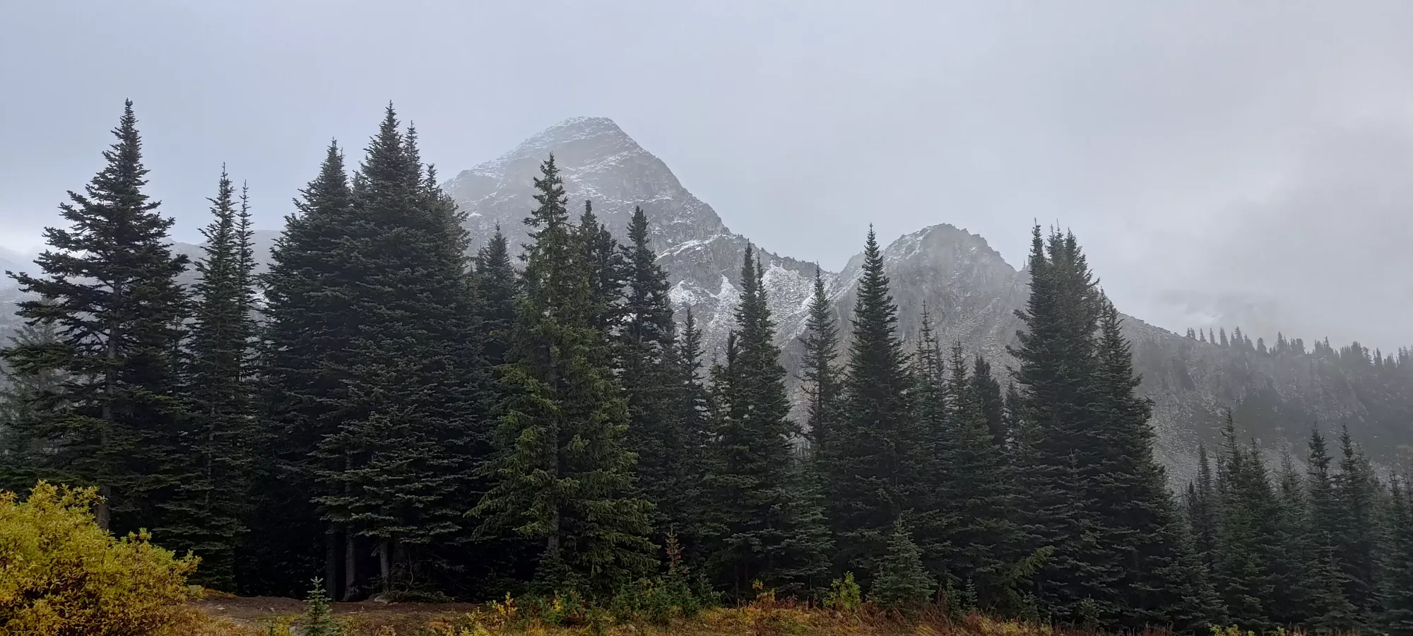
Lillooet Range, Duffey Lake Area, BC
2459m
After a rather underwhelming pair of trashbagging summits at the beginning of the weekend as a side effect of being on-call, I managed to get a coworker to swap days with me to open up Monday, the deferred holiday for the National Day for Truth and Reconciliation. However, unlike the actual weekend days, the weather was not exactly very agreeable. The best I could find in a reasonable driving distance was "only cloudiness" as you approached Lillooet. Hoping not to drive quite that far, I settled for the closest peaks I wasn't saving for skiing, should go in shoulder season, and said there was minimal or no precipitation. Those ended up being Gotcha and Gott peaks, south of Duffey Lake. So, after making this plan late in the afternoon on the day before, I posted in the partner search for the local bagging group, and Michal, a student on exchange here who recently found a passion for bagging answered. His resume seemed sufficient for this kind of day, so I planned to pick him up in Whistler where he was staying for the night, and the plan was set.
The drive to the Duffey was uneventful, passing through sections of rain and dry as we went, hoping that we'd end up in dry. Once we got onto the Blowdown FSR, it turned into a fairly cruisy FSR, with small water bars interspersed to somewhat annoyingly keep your speed down 🙃. You can drive this in most vehicles, even bold drivers in low-clearance vehicles can probably do it as long as their bumpers don't hang absurdly low. However, once you get to the end where most people park (after it turns east instead of south), you will want "a capable crossover" or better to get through one or two larger ditches. The place where most people park according to trip reports is here (approximately), but Michal looked at the road beyond and said "I don't think you can drive that", so naturally I had to go for it (in reality, I was going to the whole time).
Beyond this point you definitely need an offroad-oriented AWD or better (4x4 is preferable, though of course I did not have that and survived), and no attachment to your paint job, as the growth is considerable, and you will pinstripe a ton. We drove a little over 100m of elevation and a kilometre up the road, going through a few slanted sections, some larger potholes, ditches, and washouts (but nothing crazy, after all I have Jeep Compass, not the most capable thing ever), and eventually we got to a set of larger ruts and holes that would be "strong maybes" as to whether or not I could get through. The road was fairly wet, and my winter tires aren't the best in mud, so I wasn't totally confident. Since it would be quite a bit of sketchy reversing-down if I failed, and the hike wasn't long anyways, we decided to just call it quits. I reversed myself down into a "parking spot" on climber's right of the road, tucked just far enough to let any traffic by, though we didn't expect any based on the road, remoteness, and time-of-day.
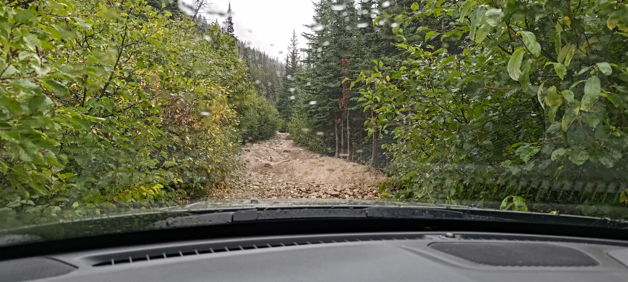
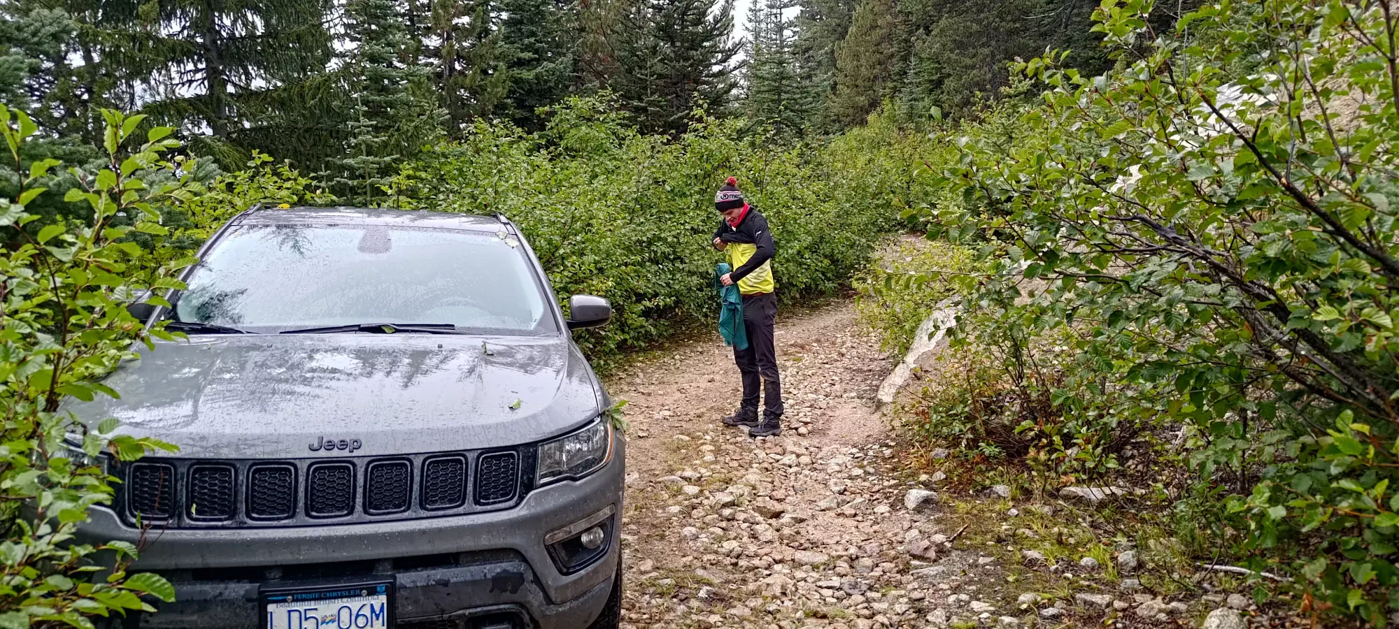
After getting parked and geared up (unfortunately doing so for rain, as we were unsuccessful in driving away from it), we started hiking at 11:17 from an elevation of about 1775m. We only made it about 5 minutes in until we saw what we did not expect: a vehicle coming down the road! Someone had brought their Gladiator (a much more appropriate vehicle for the conditions) up "somewhere above us", and was heading down. Since I was still only "pretty sure" they could get by me, I told them to give me a honk if they needed me to come and move, since we were only about 400m from the car. In retrospect, I should've said to give 1 if they needed help, and 2 if they got through, so I knew to continue on. Instead, we just waited around for 10 minutes to be extra sure they'd be through by then, and continued on our way after not hearing anything (though the worry about if they made it would linger in my head for the rest of the day).
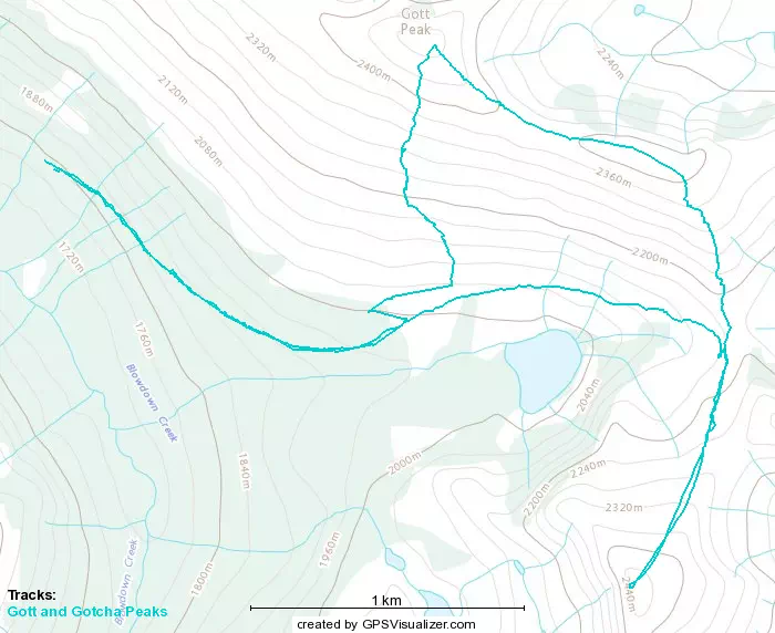
After half an hour (though I guess closer to 20 of walking), we made it to a fork in the road (which was not really harder than the obstacle I showed above, if you can tackle that you can make it to this point and beyond). This was where the track I downloaded (thanks Sean) split between the ascent to Gotcha and the descent from Gott. Since doing the loop did seem efficient, we decided to follow the same methodology, and head up towards Gotcha first, taking the right/straight fork.
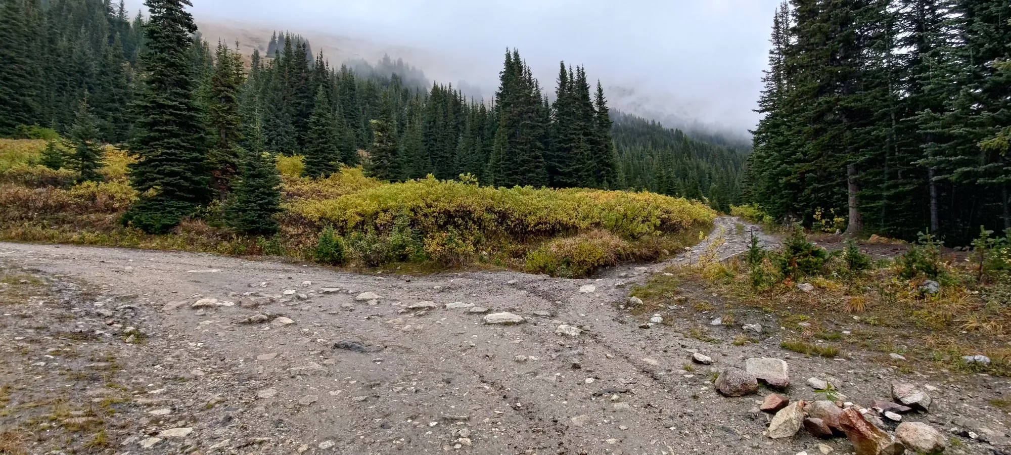
Over the next 15 minutes, we continued on the road, though in that time, it got "rough" and the right tire track was the only one left, and the left was more just "rocks, bushes, and other non-dirt objects". It was still doable by, say, a Gladiator for a while until the boulders and trees got big enough that you'd probably need to call it quits (can't say exactly where sadly). For hikers, this was still easy terrain, though annoyingly there were lots of small trees on the sides of the trail that painted my legs with the water they were holding, which reminded me of my decision in the morning to not bother packing my rain pants, definitely "a choice" given how damp everything was (and the active rainfall, of course). Nevertheles, we got to Blowdown Lake without issue, of course we didn't even know it was there due to the fog, though. We got a couple pics of the cloud-covered area, and continued on up the road.
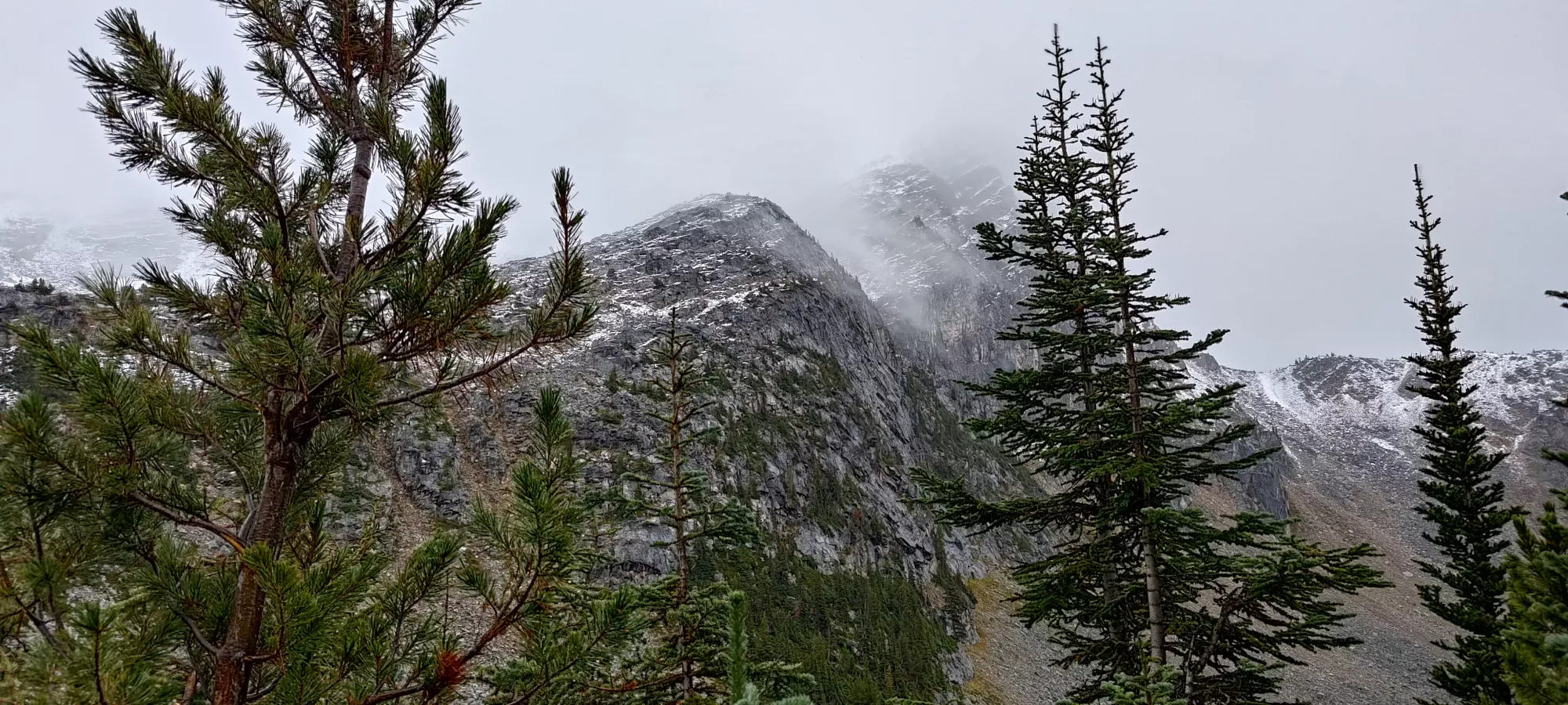
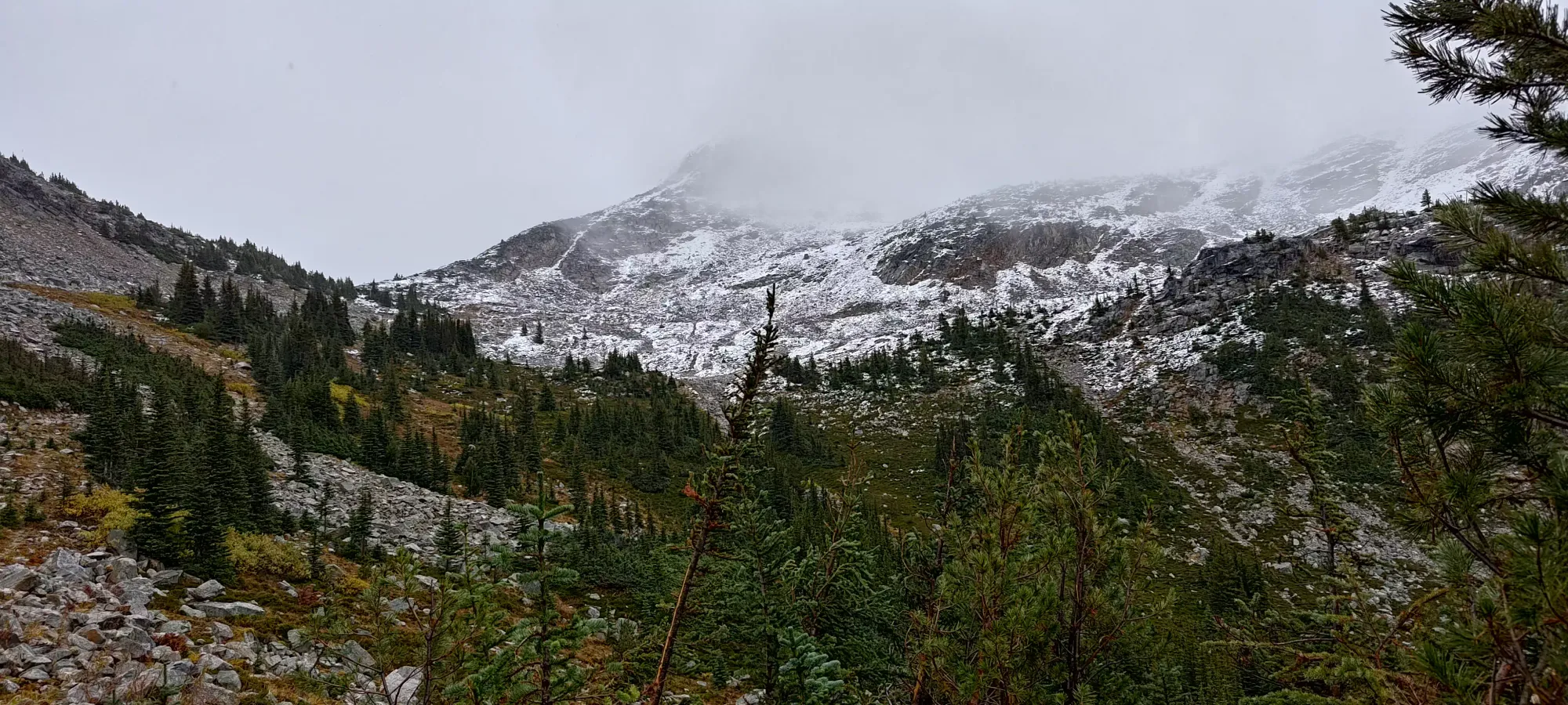
A couple minutes later and we got to a sharp switchback in the road, just below Blowdown Pass (the road was in way better shape here, I think the more northern bypass used on the descent from Gott might be a way to get here by vehicle still, perhaps even with AWD if you clear the obstacle I stopped at). Here we saw a little more of the terrain, and snapped a couple pics before the clouds ate the views away again.
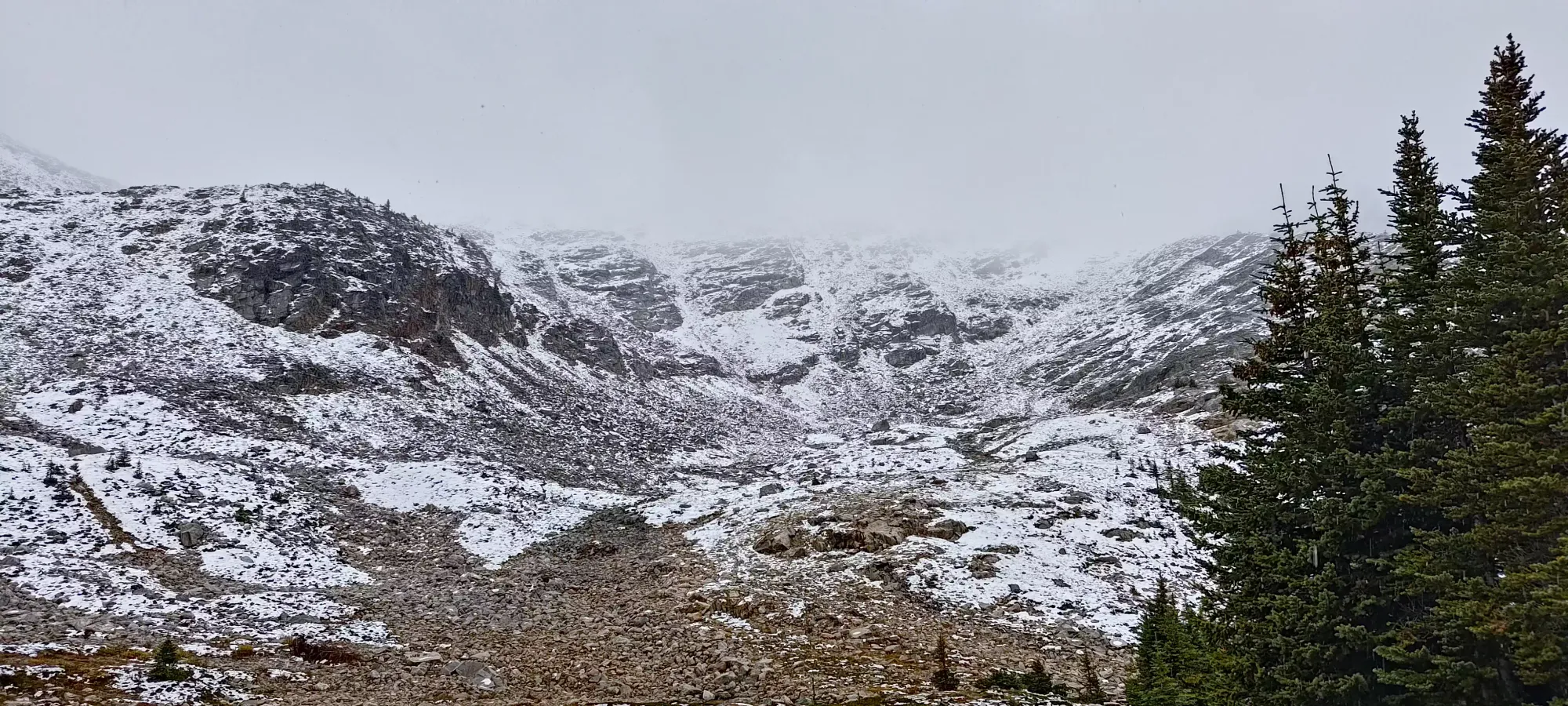
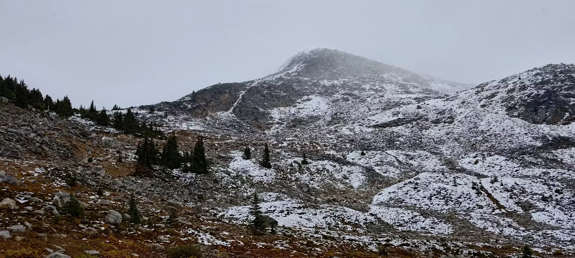
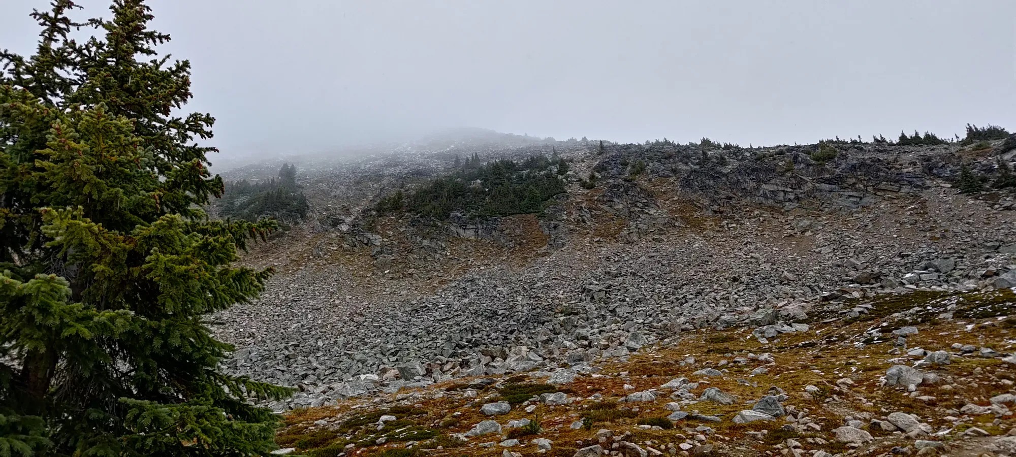
After the switchback, we climbed just a few metres until we reached a nice natural ramp that headed up towards the peak, and to our delight, it seemed others had the same idea, and we found some faint bootprints to follow!
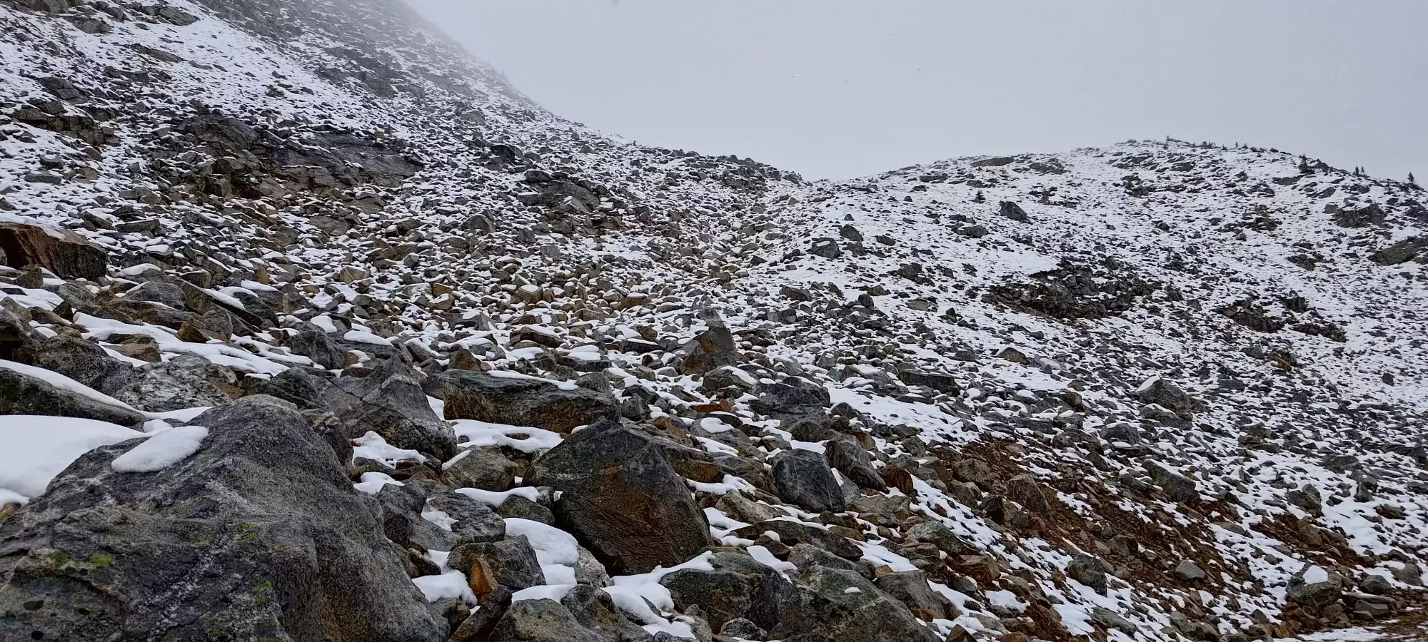
The first bit of the hike from this point (to where you can see in the above photo) was rather tedious, as the snow cover was "just enough to make things slippery, but not enough to actually step on and compact into a step". Thankfully it was not too long before the terrain got a little less jagged, and soon after that, the snow went from "below the shoe cuff" to ankle, then up to calf to knee-deep depending on the rocks beneath.
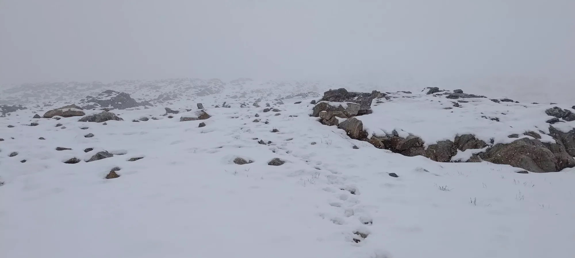
We just continued trudging along, usually able to follow the faint tracks. I led the whole way since the majority of trail-breaking was already done, and I had more knowledge on the route, so it wasn't a big deal to do so. At around 2300m or so we hit some steeper terrain, probably what motivated the inclusion of this peak in the Gunn Scrambles book. For us, though, it was mostly just "bigger steps" and occasional hand-support to make them a bit less slippery. I had spikes, but didn't bother putting them on, for context.
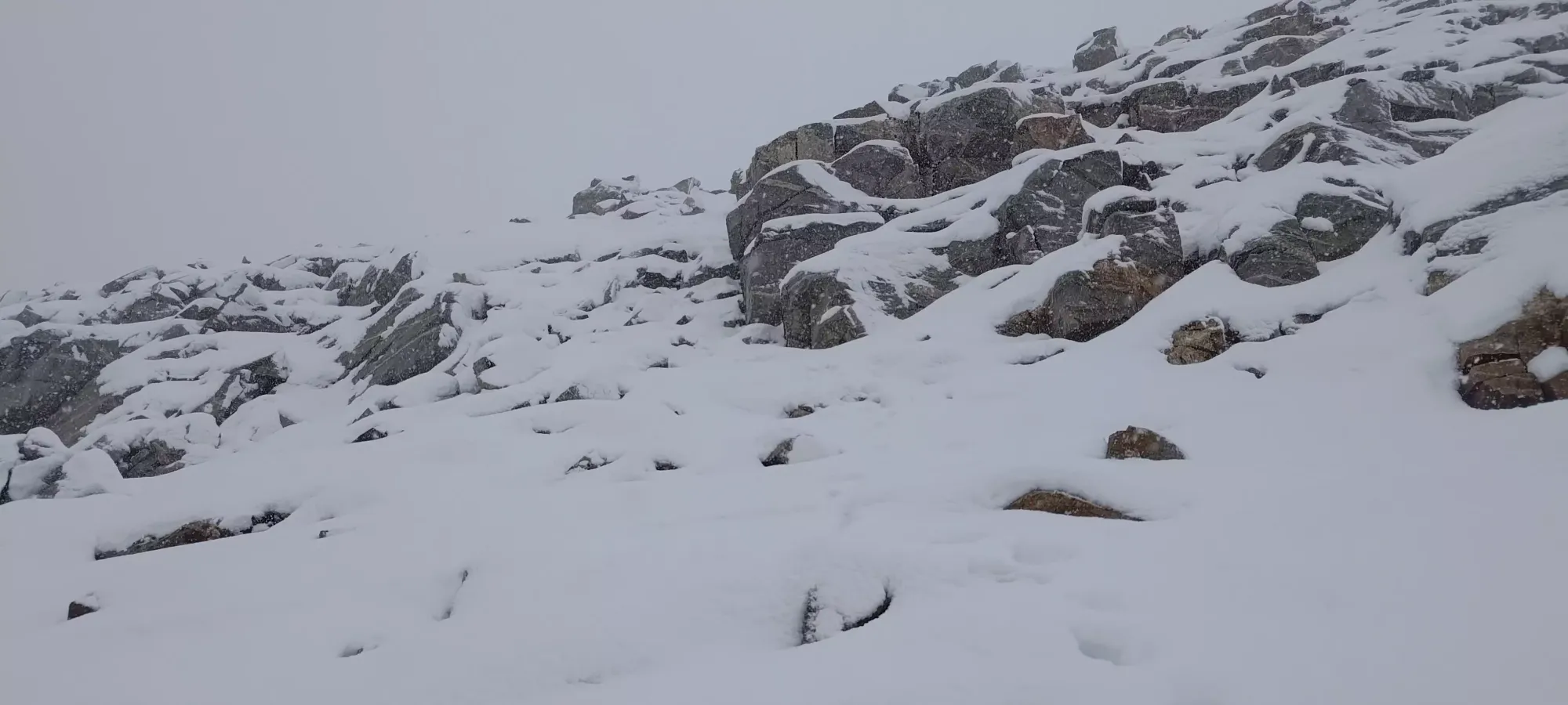
My GPS seemed to lose signal for a bit past this point, so I'm not sure exactly where I was at any given minute, but after maybe 20-30 vertical metres of steeper stuff, we got up onto the final summit ridge, where it was once again just easy walking up to the top. We didn't spend long up there, though, since layering up to be comfortable in the now-snowfall (changed from rainfall around 2100m) seemed tedious, so we just snapped some pics, Michal had some water, and I slapped my spikes on for the descent, since I had them anyways.
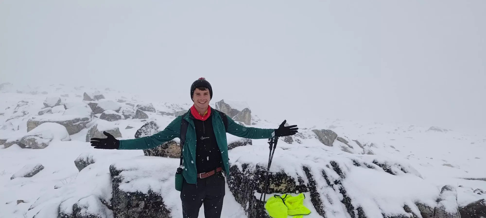
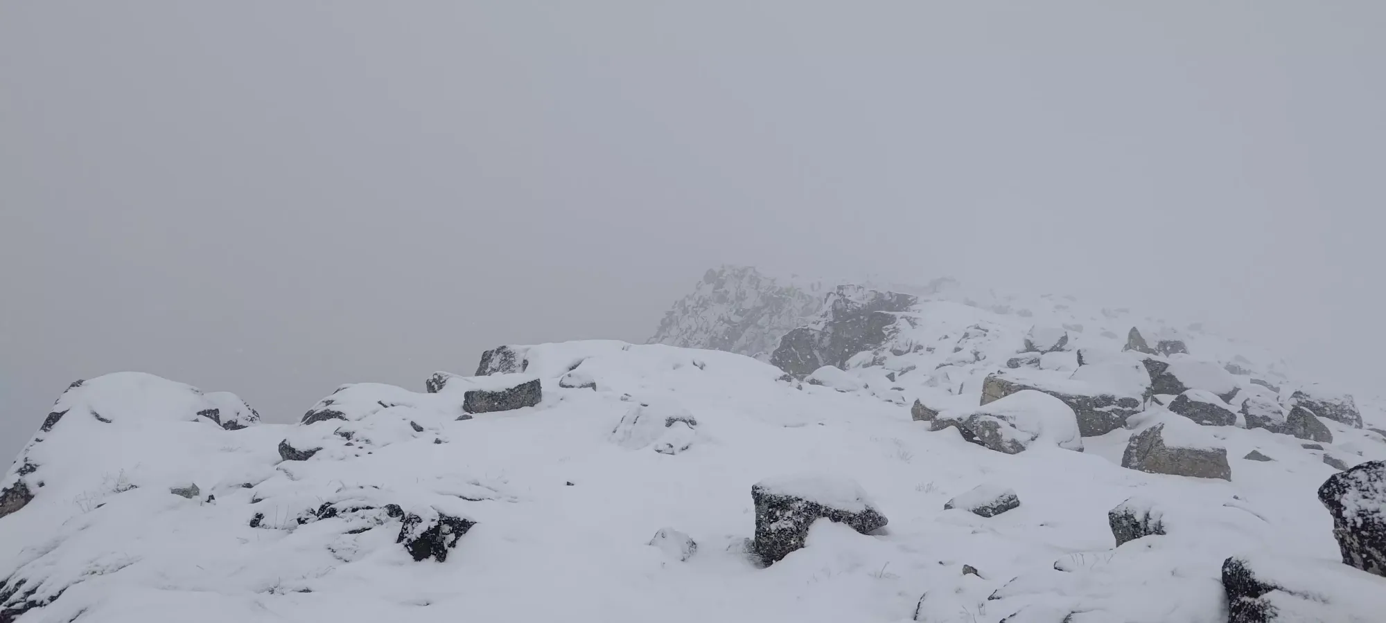
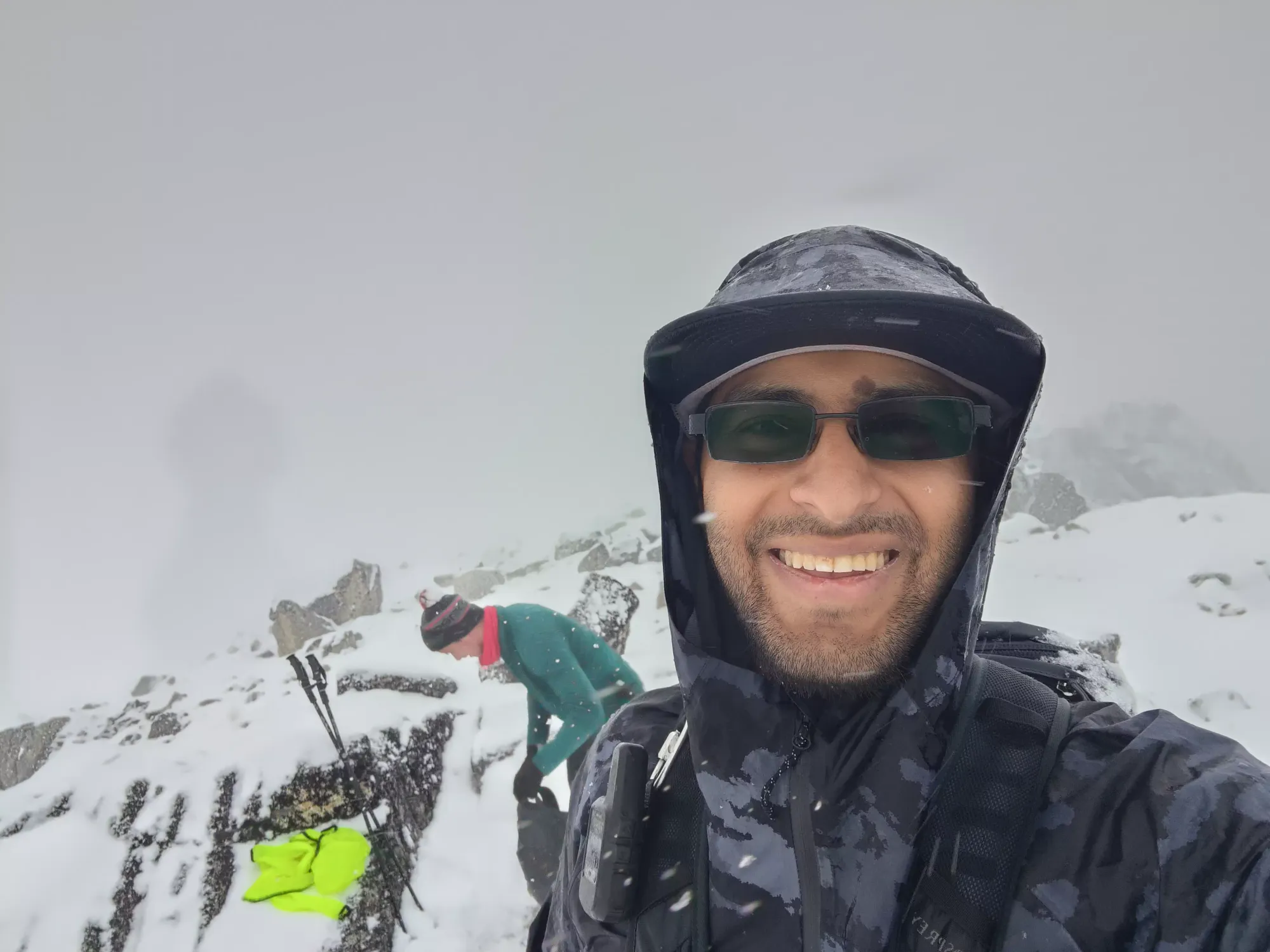
From the top, the descent was pretty casual. We walked back down the ridge, then saw a second set of bootprints that looked like it went down a shallower part of the ridge, but I decided the devil we knew was the safer bet, and we followed our uptrack down. We expected a couple of the larger, hand-assisted steps to be tricky, but they actually went quite smoothly, and we were down at the road pretty quickly, in about 50 minutes.
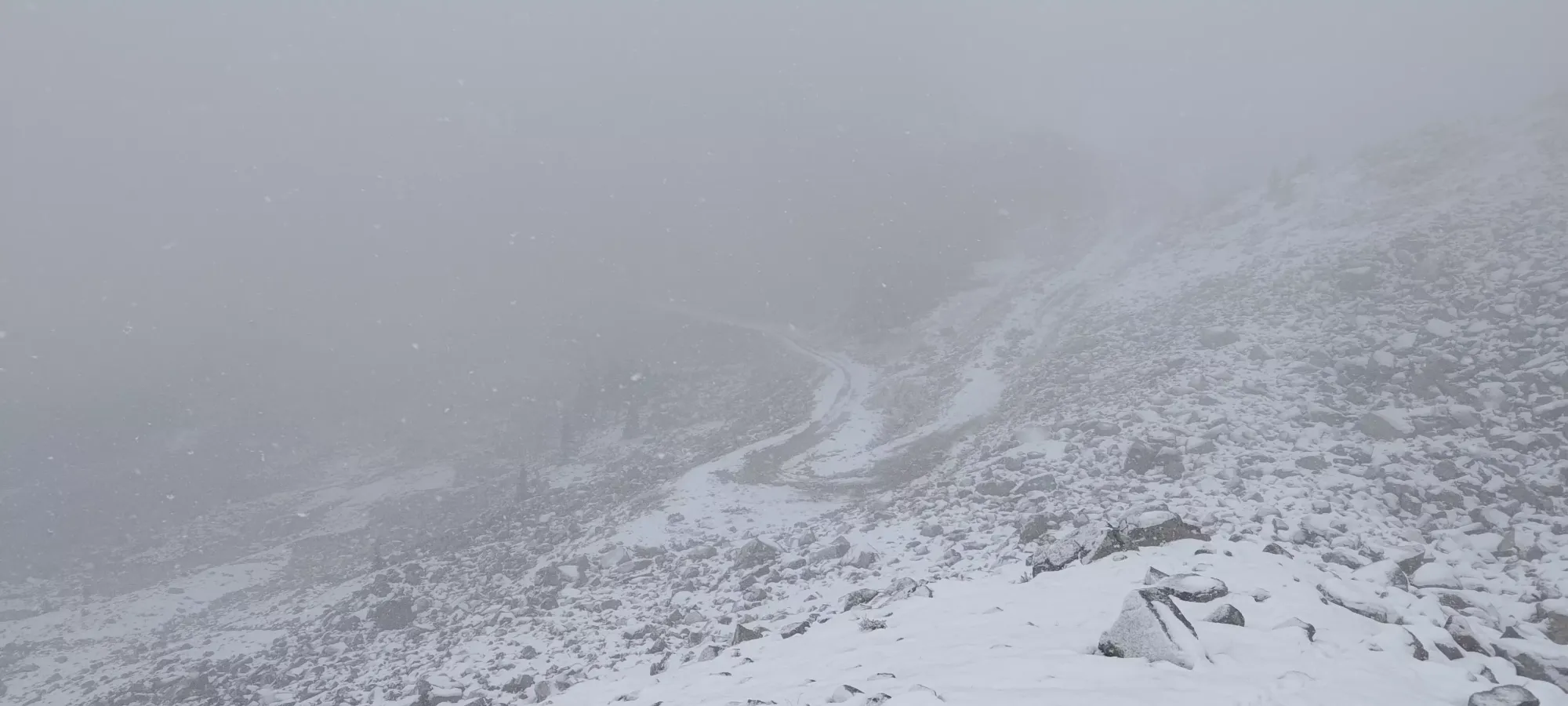
Once we hit the road again, I checked in with Michal about how his hands were doing (he had fabric/soft gloves as opposed to water-resistant ones, so they weren't what one would call warm), but he said he was doing fine, so we set our sights on the second objective for the day, Gott Peak.
GPX Track + Map
