Golden Ears - September 11-12 2022
This peak (or these, counting the 2nd ear) have evaded me for far too long... this was long overdue


Golden Ears Ranges, Maple Ridge, British Columbia
2056m
Ah, Golden Ears. My first encounter with this mountain was when I was visiting Vancouver back when I was in university, and just tried to go up on a random summer day with a couple friends. I had no real outdoor knowledge, experience, or gear, and we did not plan well based on the difficulty of the trail. We got to the viewpoint just above 1100m and had to call it. My next encounter was the spring of 2021 when I was just getting into hiking. We made a snap decision to start at 1pm on a random weekend day, and of course that was not a wise choice. We actually got further, stopping at one of the steeper sections on Panorama Ridge, but again had to call it due to time constraints (and lack of any snow gear). We actually came down in the dark that time, as a third party member we picked up along the trail hurt his ankle on the way down, and we took our time coming down.
So, when my buddy Lee said he was planning Golden Ears for the weekend, and I didn't already have a plan in mind, I jumped on it. He wanted to do an overnight, which was not what I'd originally planned given the fairly tame-sounding 22km, 1700m gain AllTrails description, but since I was feeling pretty good health-wise, and it'd mean some nice company (part of 4, myself included), I said sure, let's go for it. So, we met up at his place in Maple Ridge Sunday morning, and headed to the trail for a start just after 10:15. Normally this'd be a great way not to get a parking spot, but with rain in the morning and smoke quite omnipresent in the Lower Mainland, there was a lot less demand than usual, so we made it to the Wests Canyon parking without issue. Notably, we did take 2 vehicles, as I had to be back at his place by noon on Monday to pick up my bike I had stashed in his garage, and to make it home to be able to work as I didn't have the day off. This will be important later.
With our heavy packs, and a group of varied experience+fitness, we didn't go at a blazing pace or anything, but we still made it to the Gold Creek Lookout in just under an hour. Of course, while this is a decent distance of just under 4km, it covers barely any elevation gain, just 150m. This part of the trail is mostly gravel for the beginning, and dirt with occasional roots, and minor undulations. It is often done as a loop with the East Canyon to see the waterfall nearby, and is basically a "tourist hike". We took a short break just past here, but didn't spend long as we had plenty of elevation left to our planned camp near the emergency shelter on Panorama Ridge (and I was hoping for a potential summit bid same-day if I could get people onboard to make things faster on the following day). I'd have taken some pictures, but honestly there isn't much to see along the trail for a while, and the smoke made the sparse views even less meaningful. Do note that at this time of year, your water sources will run out shortly after this point, as the creeks are largely dry by September.
Speaking of which, our next stop along the trail was at one of these creeks where the rest of my party refilled. Me being me, I hadn't even taken my water out yet, but we were moving fairly slowly, so I didn't feel any need to. Overall we were still making decent time, but had started to slow down a bit. We made it to Alder Flats in a bit under 2 hours, but since that was far too low to really assist a summit bid, we had no intention of lingering. There is apparently a viewpoint trail here if you diverge from the main path, but we didn't take it, so I have no idea how worthwhile that is. It was smoky enough that we were sure it'd be rather wasteful for us regardless, and didn't stop.
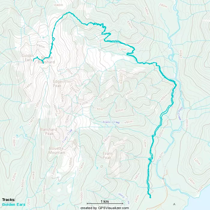
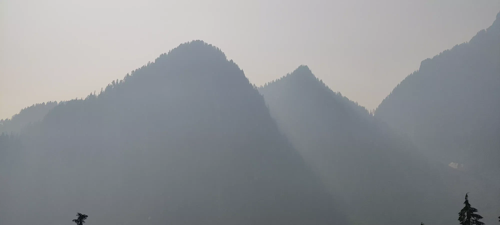
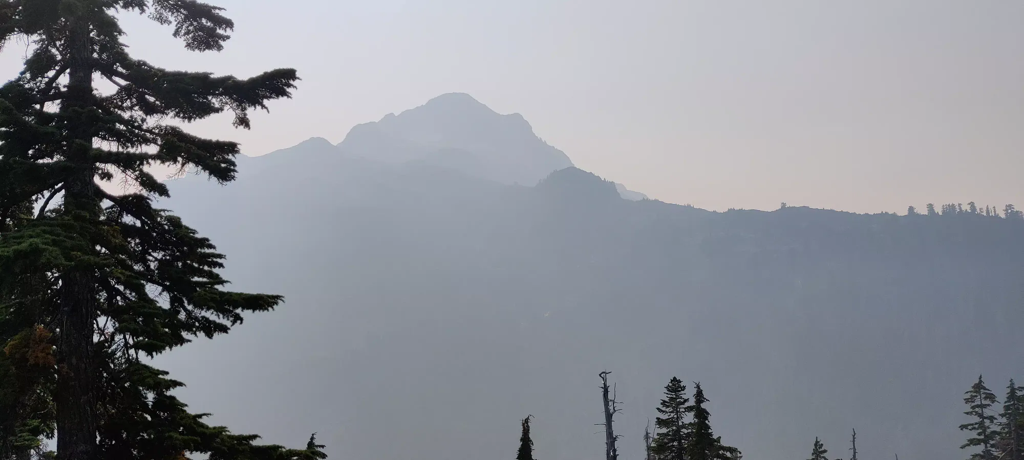
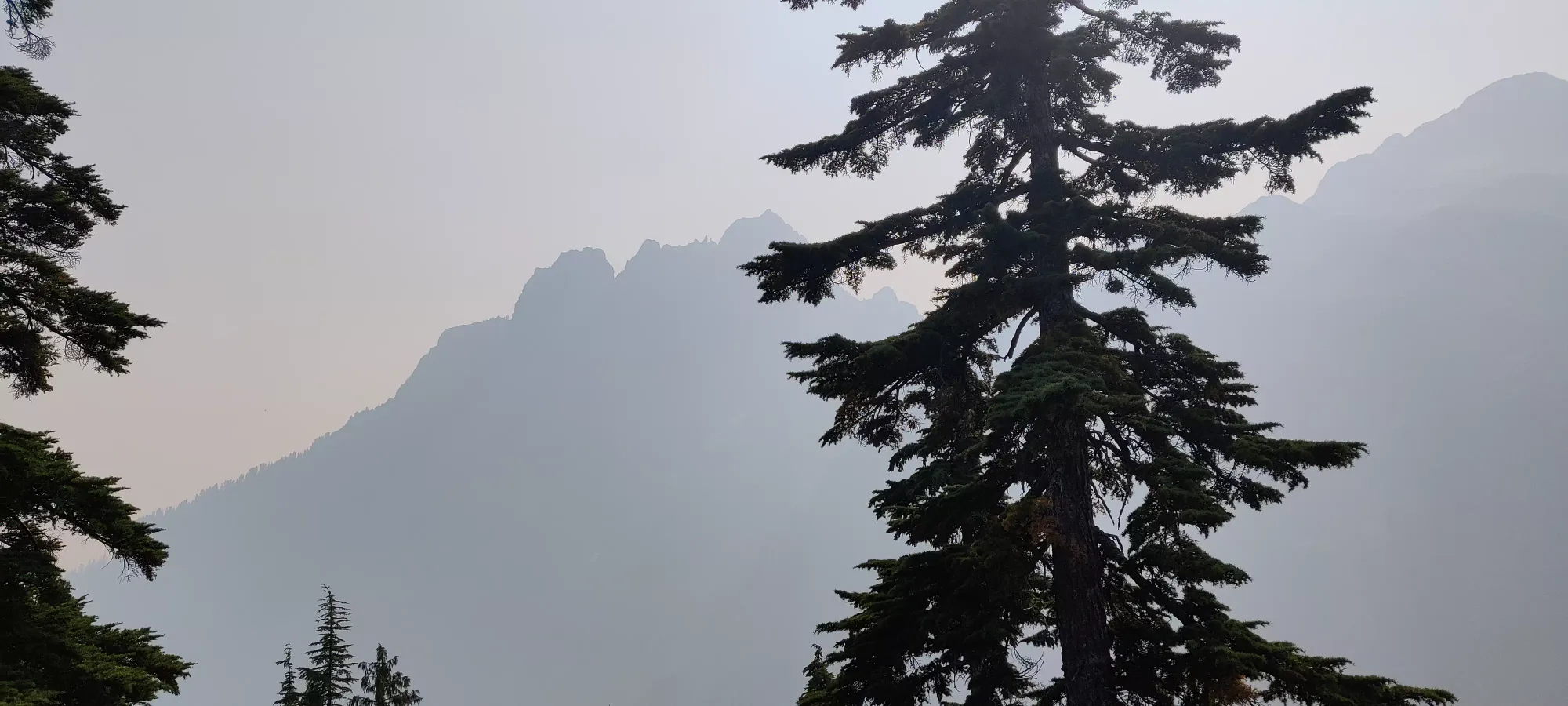
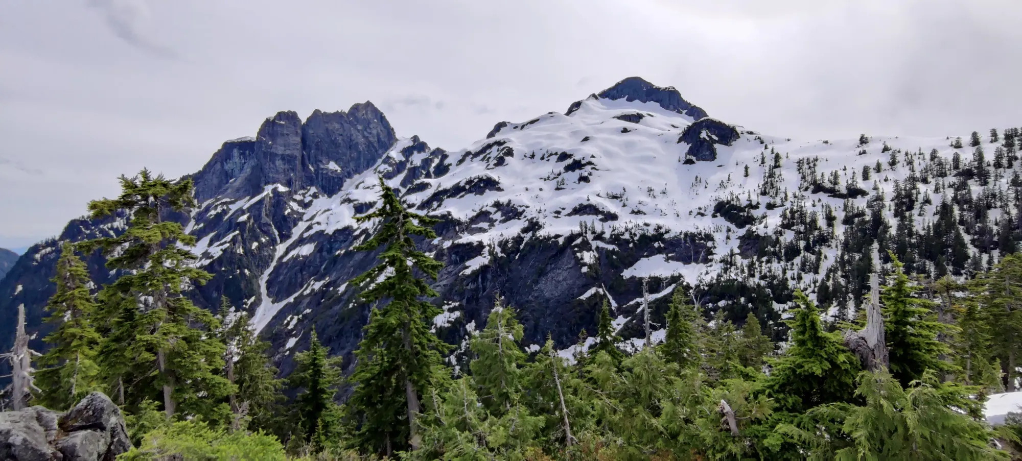
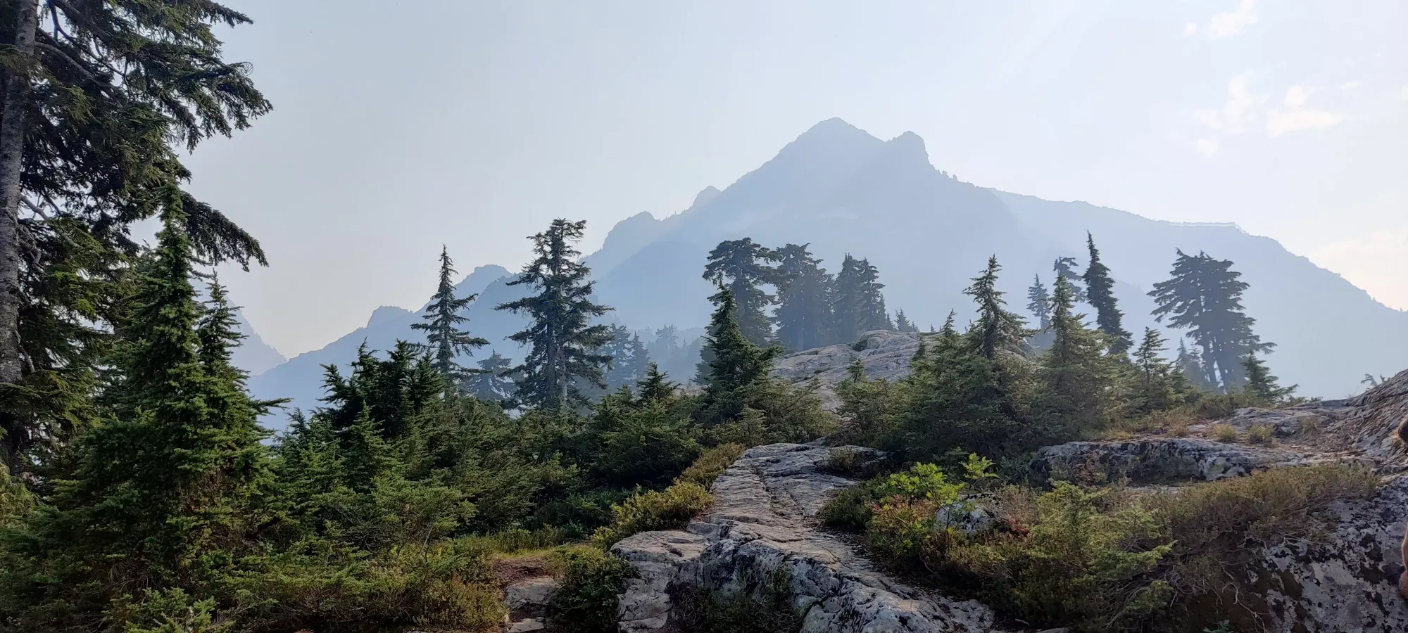
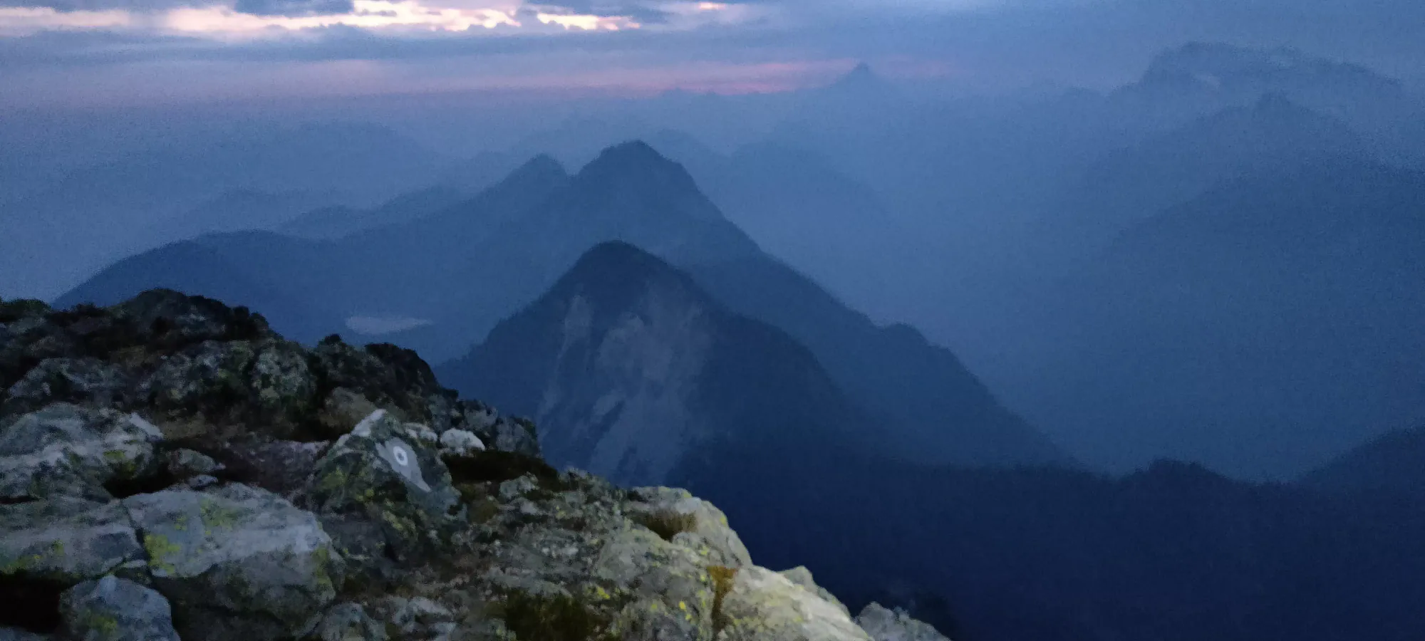
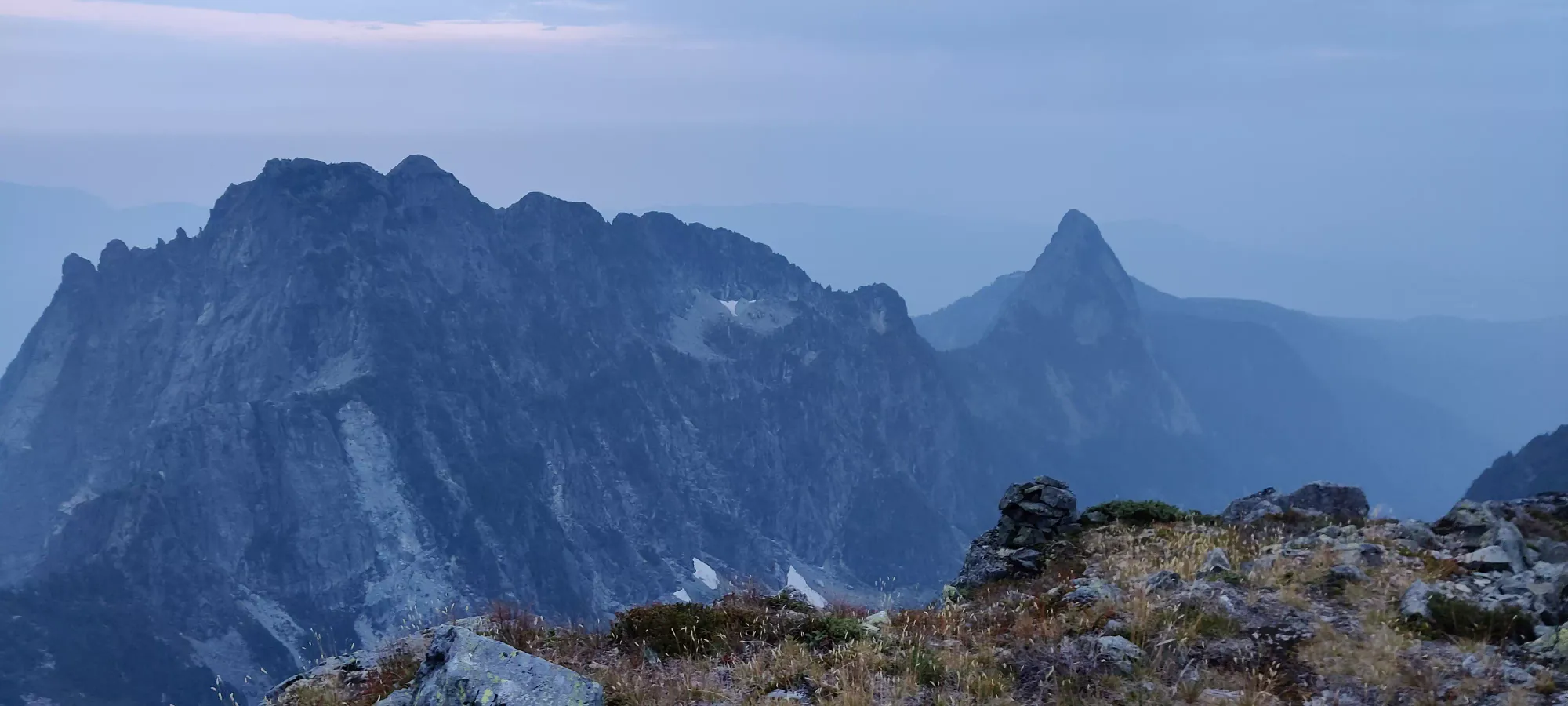
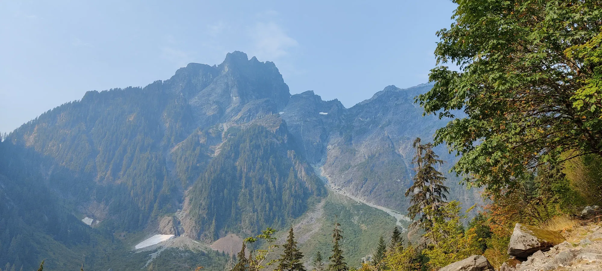
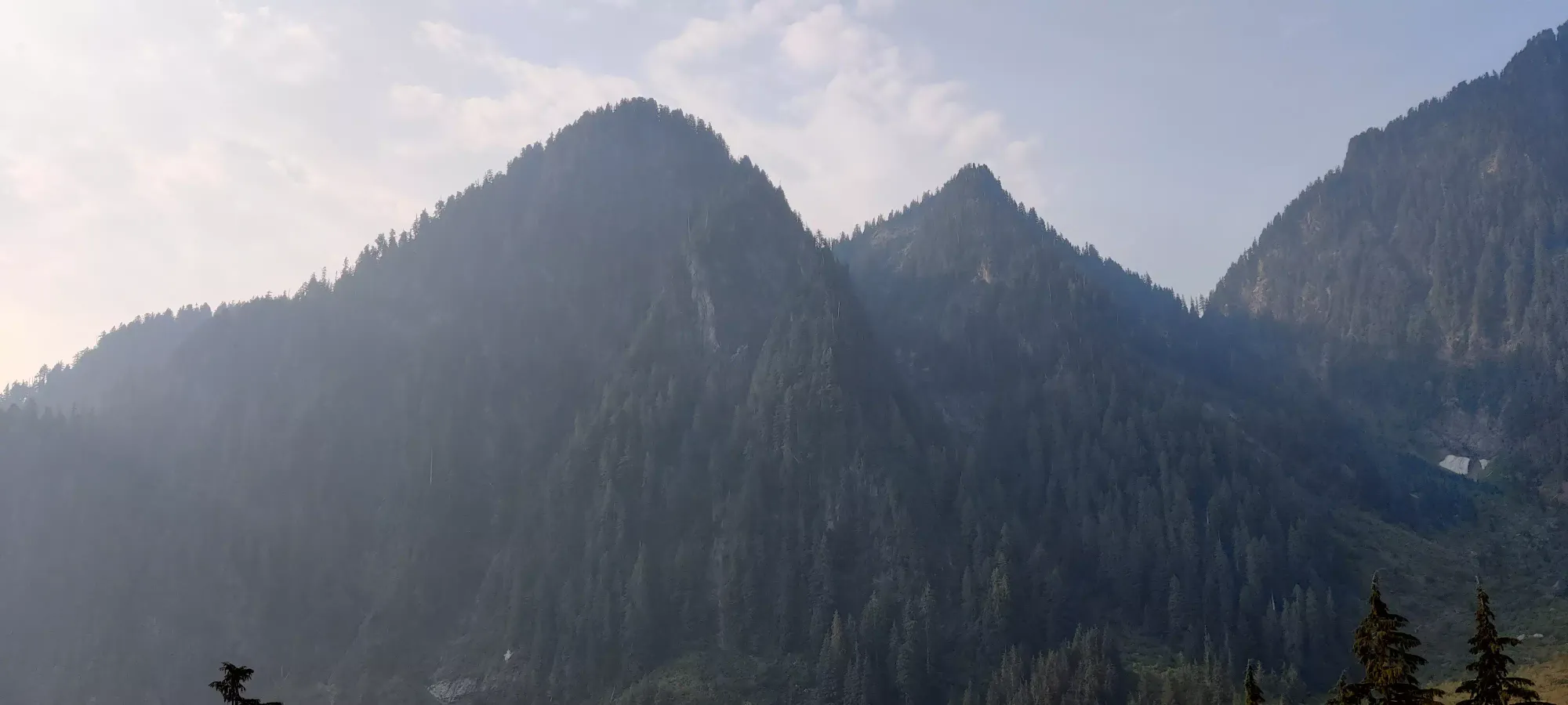
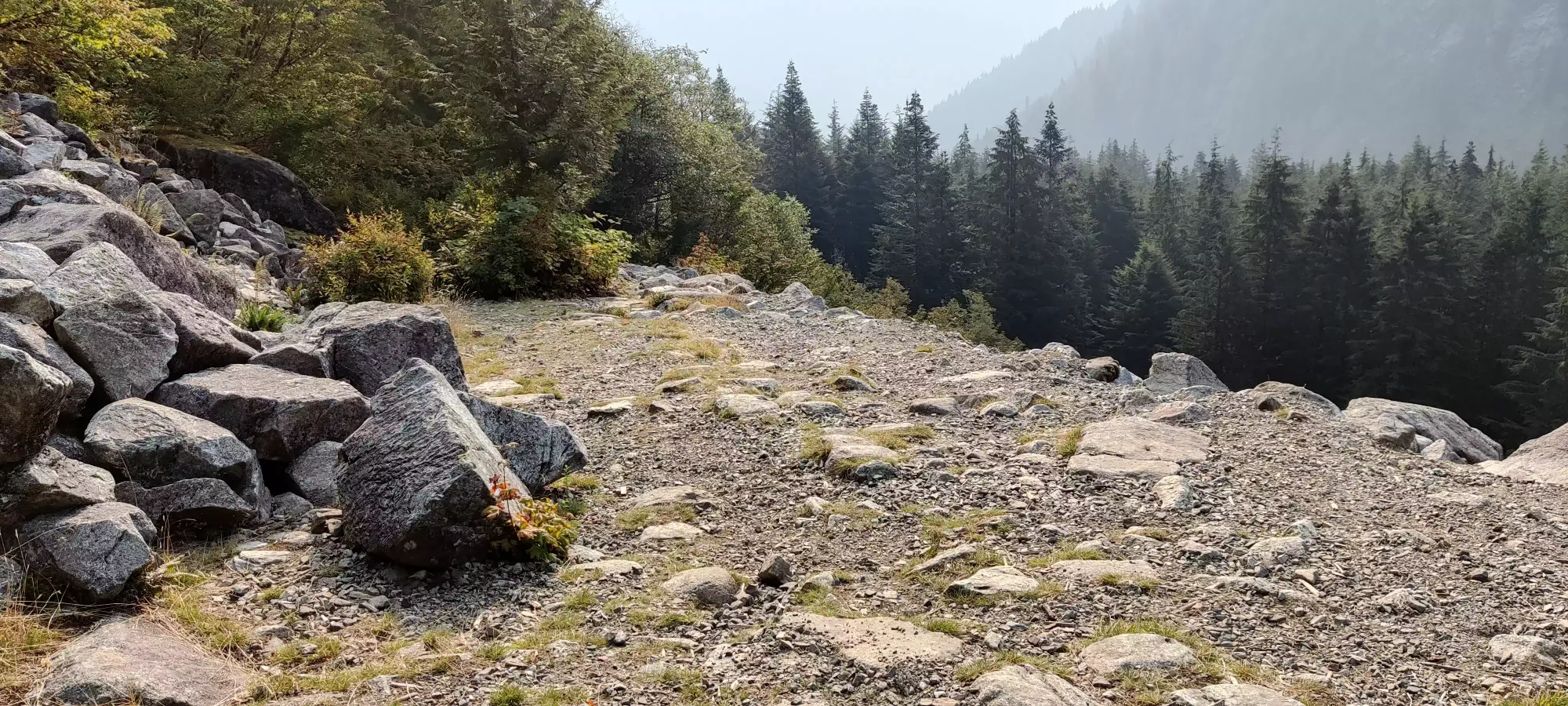
Sadly, shortly after Alder Flats, the trail changes from "dirt and roots with occasional rocky patches" to "basically a creek bed", and the ground gets rather annoying to traverse, as it is basically just rocks small enough that you can't trust them to be stable for boulder-hopping, but large enough that it's not like a gravel road or anything. Perfect for ankle-rolling, less perfect for fast, painless progress. There is a straightaway a couple minutes past the campground that usually offers good views of mainly Edge Peak, and a bit of the peaks south of that, plus Panorama Ridge (Golden Ears itself is actually hidden behind). However, with the smoke, we more got a view of their silhouettes than the actual terrain.
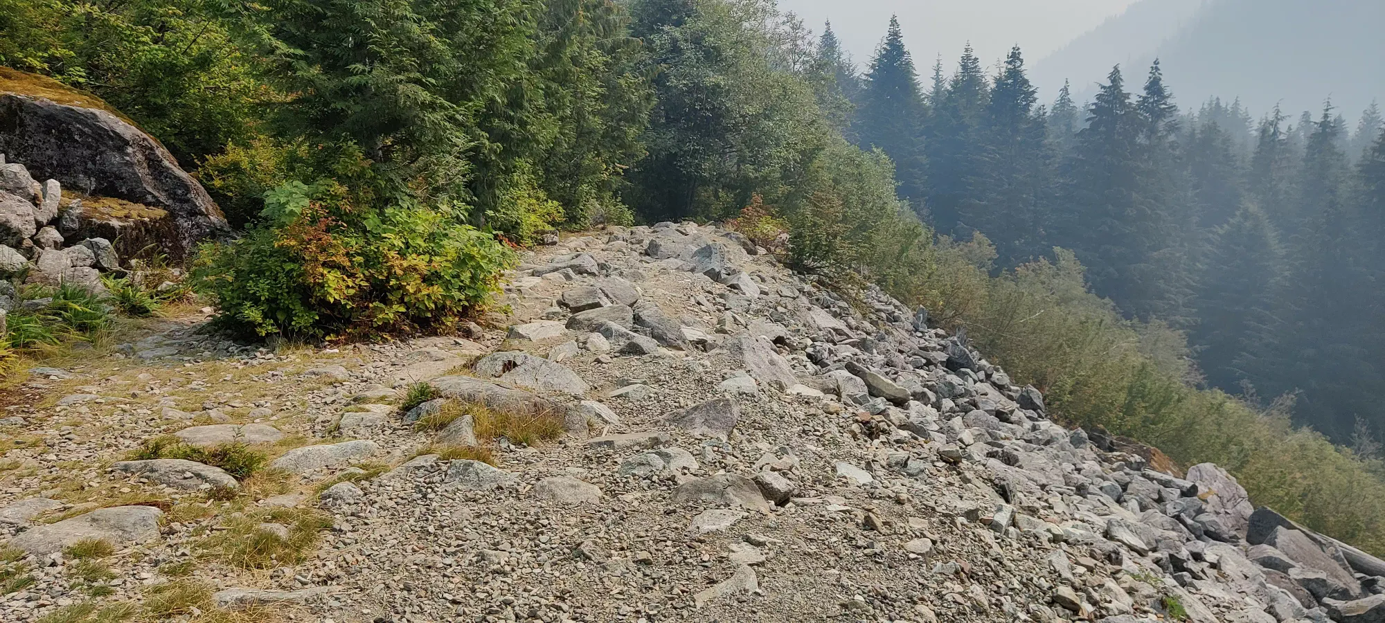
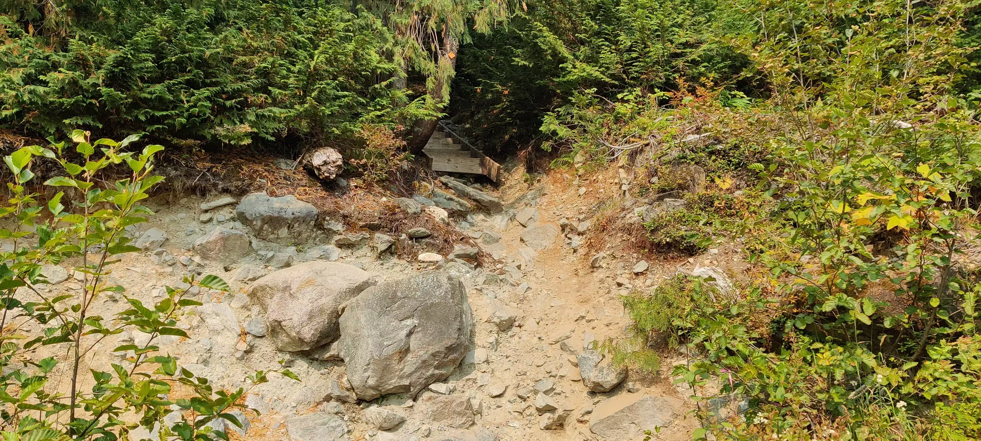
We got past this short viewpoint before the forest closed up again, and it was just tedious slogging up the creek once again. Once we got to 3 hours in, we were not quite out of the creek bed yet, but a couple of the group members were feeling a bit knackered so we took a long break at 760m for about half an hour. From there, though, we only needed a bit over 5 minutes to reach the end of the creek bed section, where the trail takes a sharp turn to climber's right up a set of stairs.
This is where things slowed down even more, for good reason. The combination of no water sources (for those who are normal and drink water, I'd just opened my bottle at the last break we took), smoke (for those who weren't raised in smoggy Toronto), and the steepness with heavy packs definitely drained a lot of the group's energy. It took about 50 minutes of slow progress up a few sets of stairs, and many steep roots and dirt until another break was called for at 1030m. It was this point where I was glad I packed extra water, as I doled out a litre from my spare bottle to the group to get them from here to our camp, where there was snowmelt to refill from. Fifteen minutes later, we resumed the slog, and in a bit under 5 hours from our departure from the trailhead, we reached the viewpoint where I had to stop on my first attempt of this peak a few years ago. Sadly, the views were not nearly as good, but I did not have the worry of impending darkness so I was still happy.
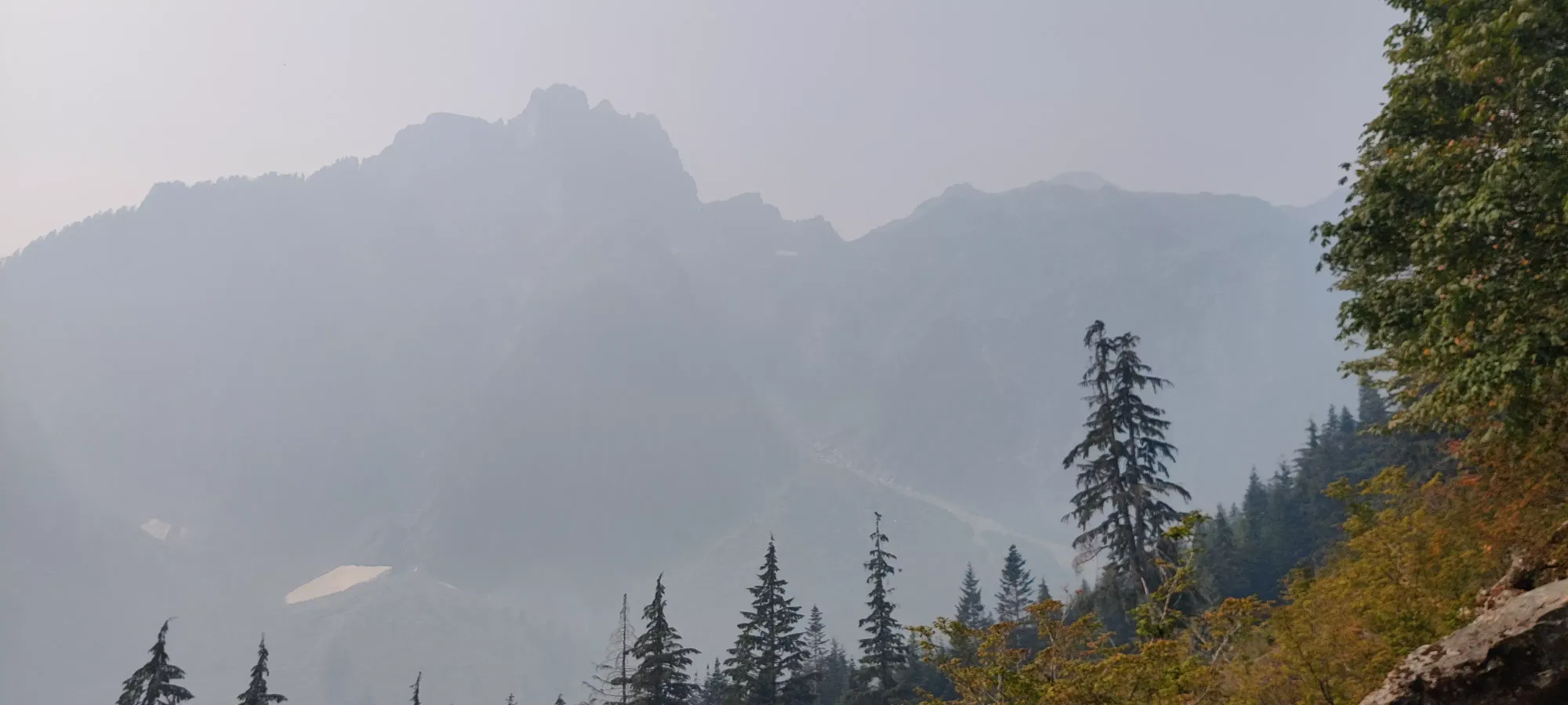
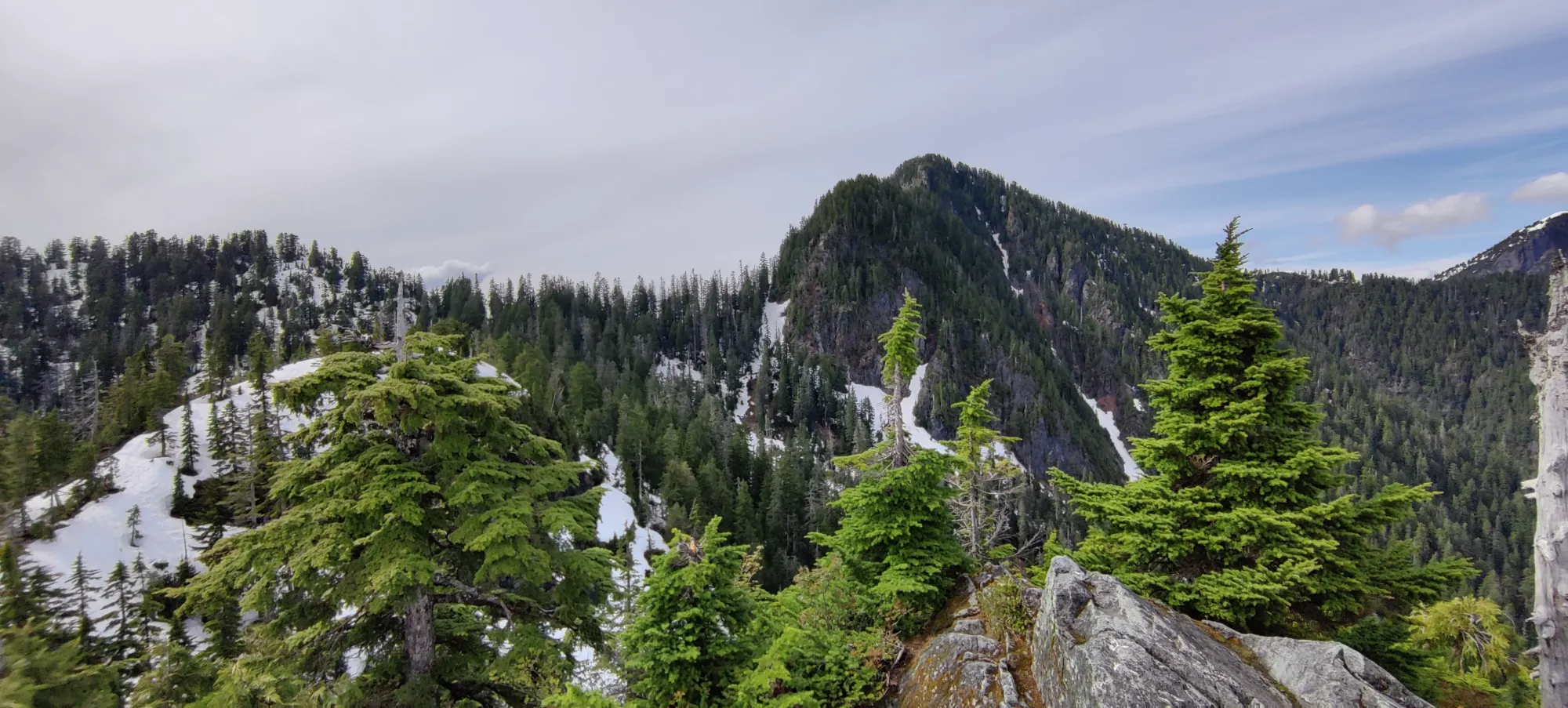
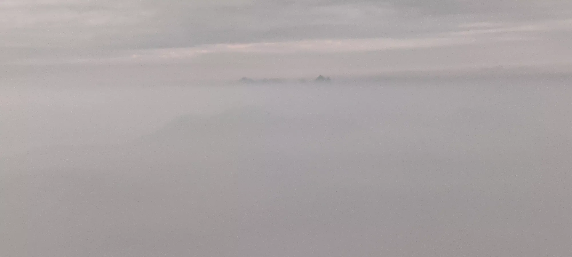
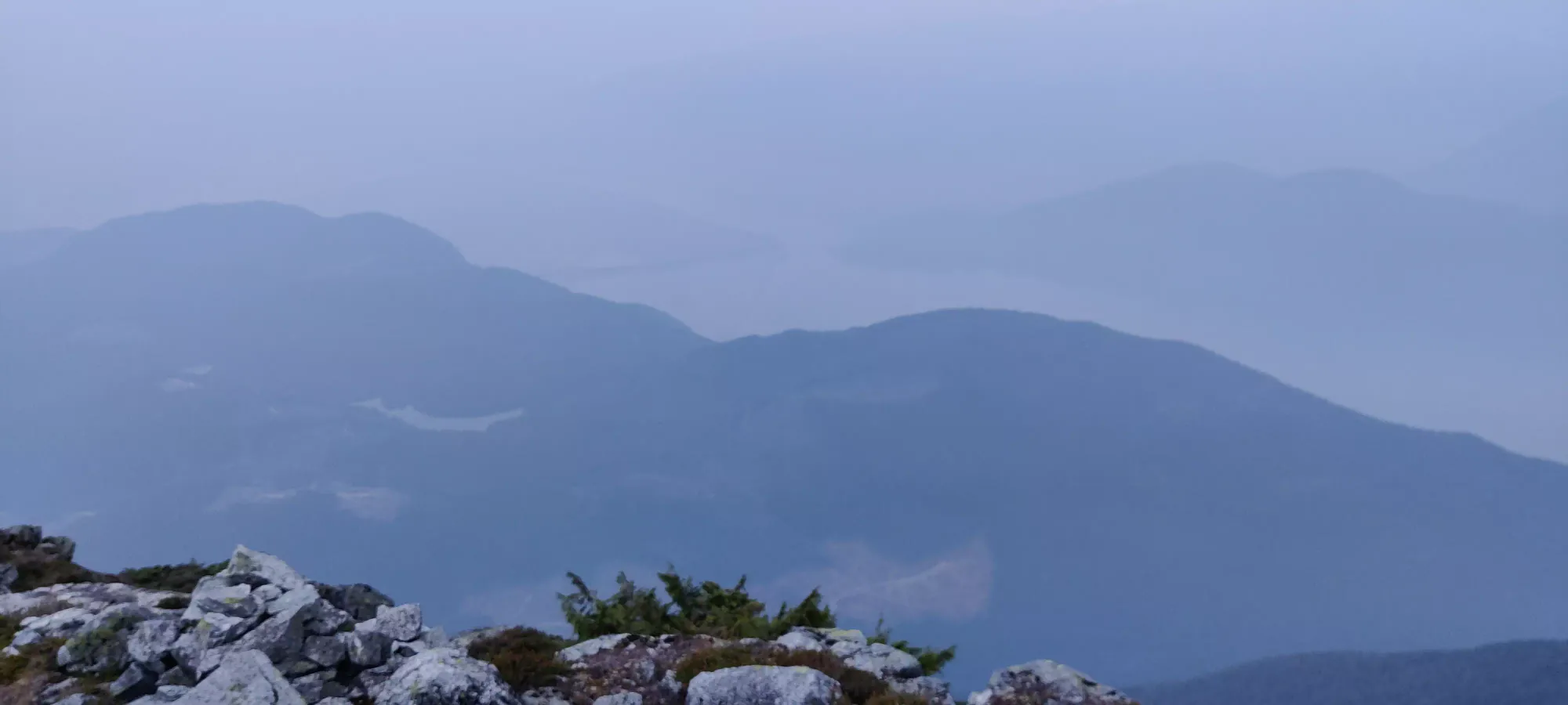
We only spent about 10 minutes up at this viewpoint, since there wasn't much in the way of view, and we set off once more. This is where my familiarity with the terrain ended, as I stopped here the last time I tried this peak in summer, and my springtime attempt was in metres of snow by this point in the trail, so nothing looked remotely similar. In fact, I'm not even sure how much further I got in that springtime attempt since I don't have a GPX track for it, and everything was just "snow". Below are a couple pics I dredged up to show the difference.
Shortly into our trek beyond this point, we encountered a group coming down who said they saw a bear near the campsite. This was of course not great news, but since it was a while away still, a black bear only, and we were prepared to turn around if need be, we didn't let that stop us in our tracks, as it was quite plausible especially with the huge amount of people we saw coming down and the one other party we knew to be coming up with camping gear that the bear would lose interest if it was planning to hang around at all.
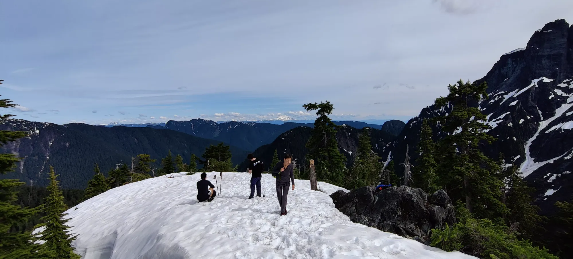
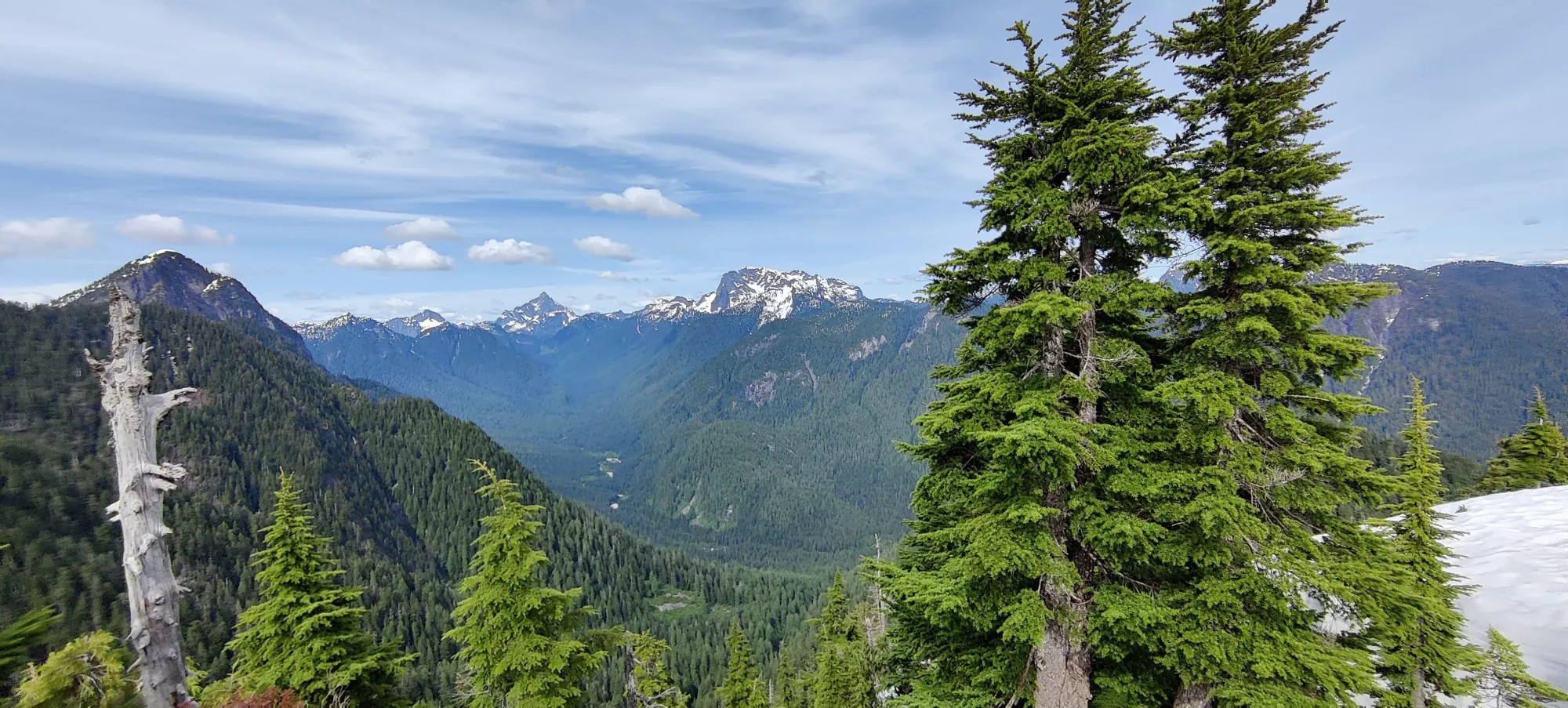
We spent the next half-hour or so going along a narrow path which was largely forested, with small undulations, gaining up to 1200m by the end of it, where we made a big turn to climber's left to start the trek along Panorama Ridge. Normally, things open up a ton here to gorgeous views, hence the name. In the conditions we had, though, it was more "opened up to seemingly more bugs and not a whole lot else". Until that point bugs were actually not that bad, but as we got further along the ridge, they seemed to increase in number until it was full-on swarms-per-person territory.
From that point, it was about an hour slog up to the campsite. This was pretty easy terrain, but with heavy packs and a tired party, the going was slow. There was one fun ladder which I decided to ignore and downclimb beside, but otherwise nothing really of note. We got to the campsite in just about 6 and a half hours, meaning we had a lot of time to set up camp and relax before sleep and an early start for a sunrise summit.
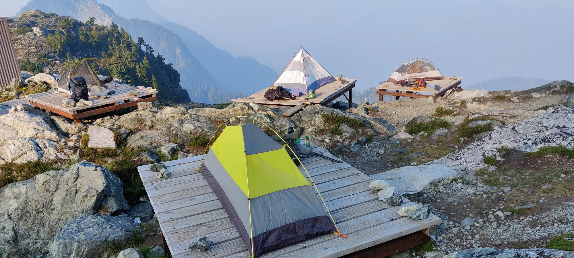
We refilled our water, which was a great moment for my parched party members, and a relief for me, as I tend to attempt to carry "enough to get me out, if miserable" if my water source fails me on overnighters like this where I'm not 100% positive it will be there. Giving out what was originally my next day's supply made me a bit nervous about summiting should the water source not have materialized, but once I saw snow off-trail I knew I could get there if necessary, and when we heard flowing water as we approached camp, I was pretty pleased. After refilling, though, we quickly got to work setting up camp as the bugs were absolutely horrid, and we wanted to get inside our tents fast.
Thankfully, the lack of wind, rain, or bad temperatures meant I didn't need to waste time with my rain fly, so this was a pretty fast process, and I got to enjoy my first flat campsite since I picked up this hobby. While the others finished setting up I took a short nap, after which we had dinner, planned our wake-up time for our sunrise summit push, and then went to bed. I didn't sleep well, as per usual, but I think I figured out why: inflating the air pad too much makes my sides hurt, but at about 1:30am I figured out deflating it just a bit mostly resolved that. Though I didn't get to sleep much past that anyway, still a nice thing to finally realize, hopefully it'll come in handy in the future.
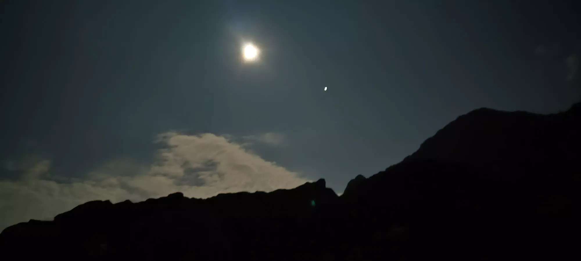
I woke up before everyone else, expecting to need a long bathroom break, but the need didn't arise, so I just scarfed my morning sandwich down and enjoyed the serenity. As everyone else woke up, I got my camp packed up and ready to go for my descent, as we decided it'd make sense for me to leave the group behind after summiting, since I had that deadline to make it down and to Lee's place before noon. This was good timing on my part, as not 5 minutes after I packed up, it started raining! It didn't last for more than maybe 20 minutes, but it was enough that everyone else had to scramble to put their flies up to protect their gear, so that felt cool. We ended up starting out from camp at about 5am, well in the dark, but lighter than expected with a very powerful moon glowing above.
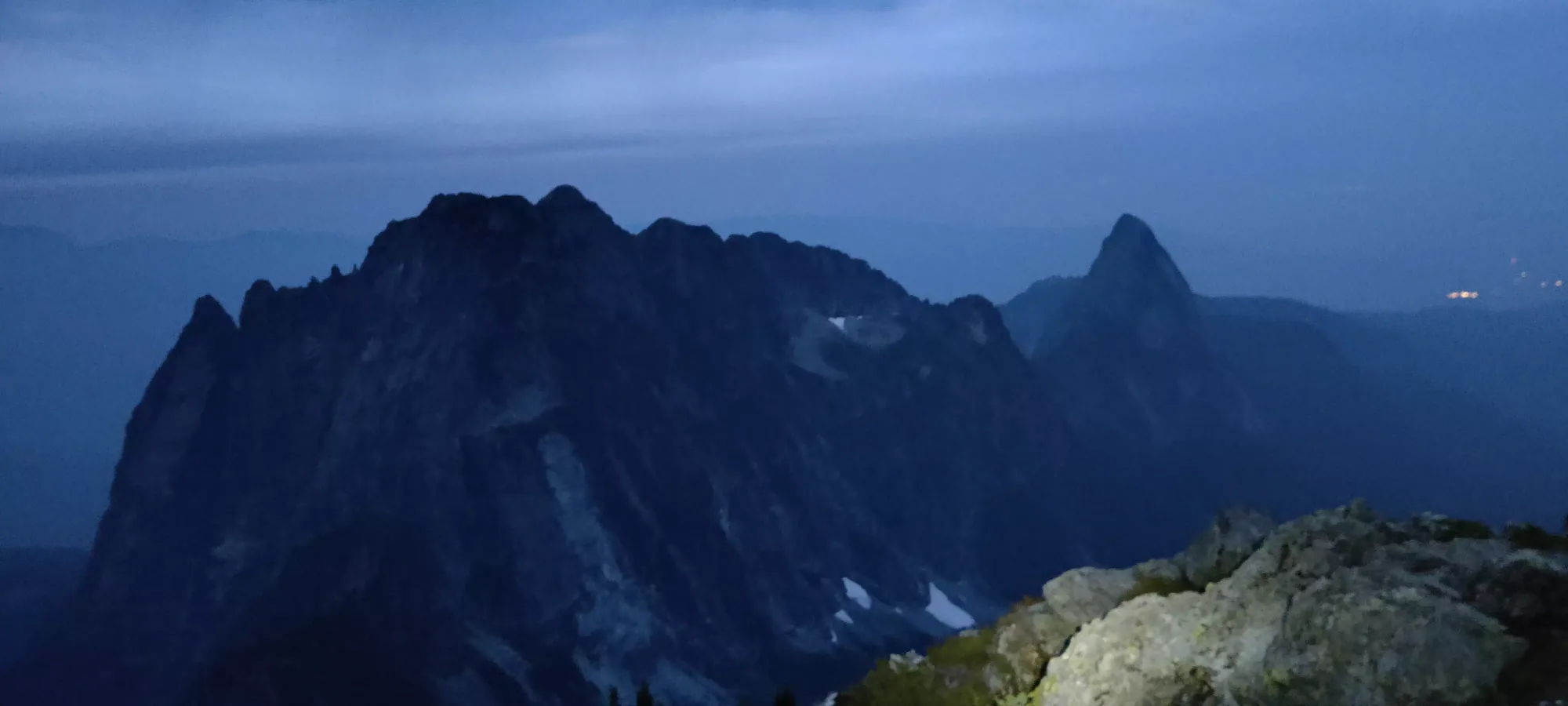
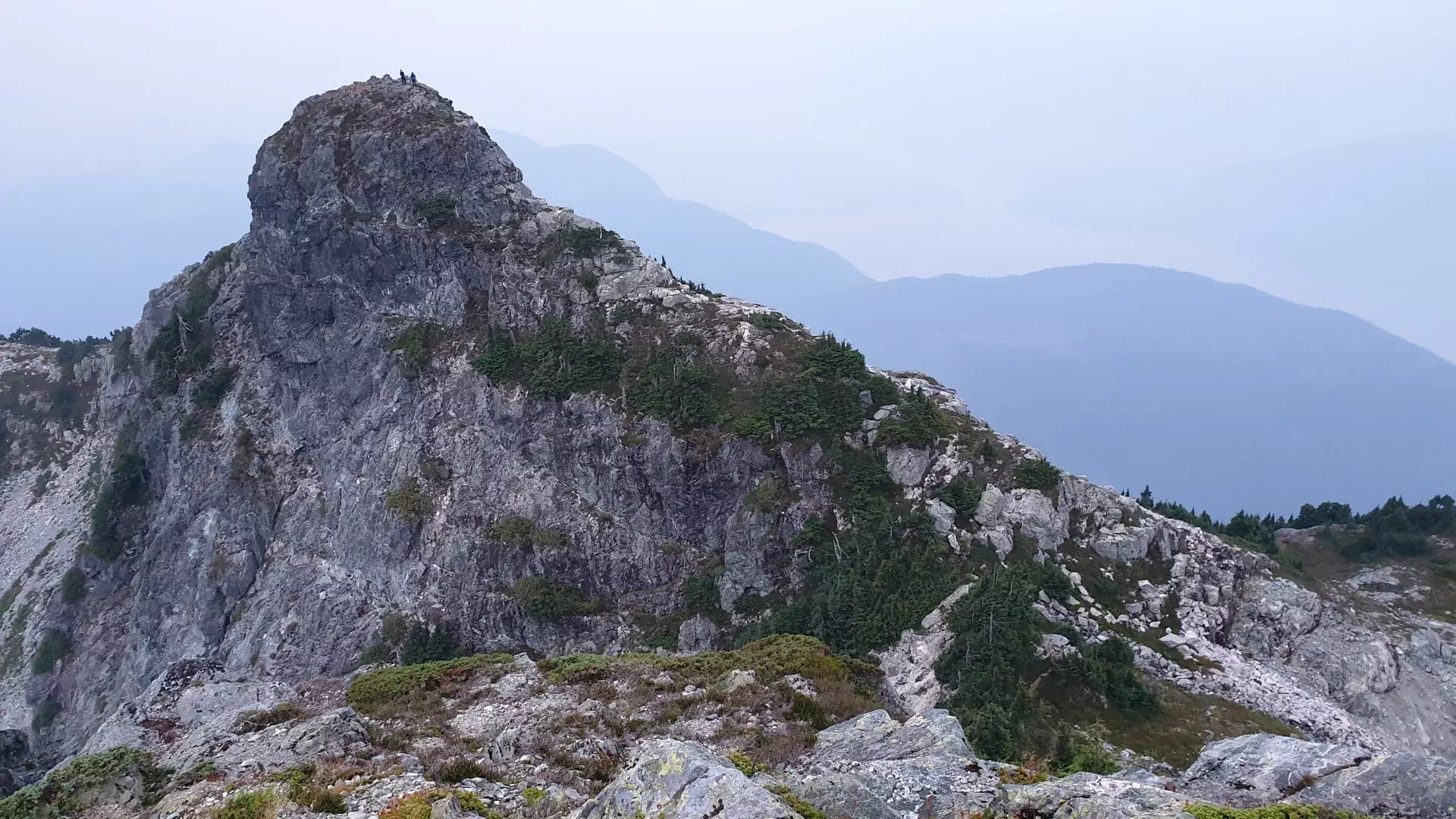
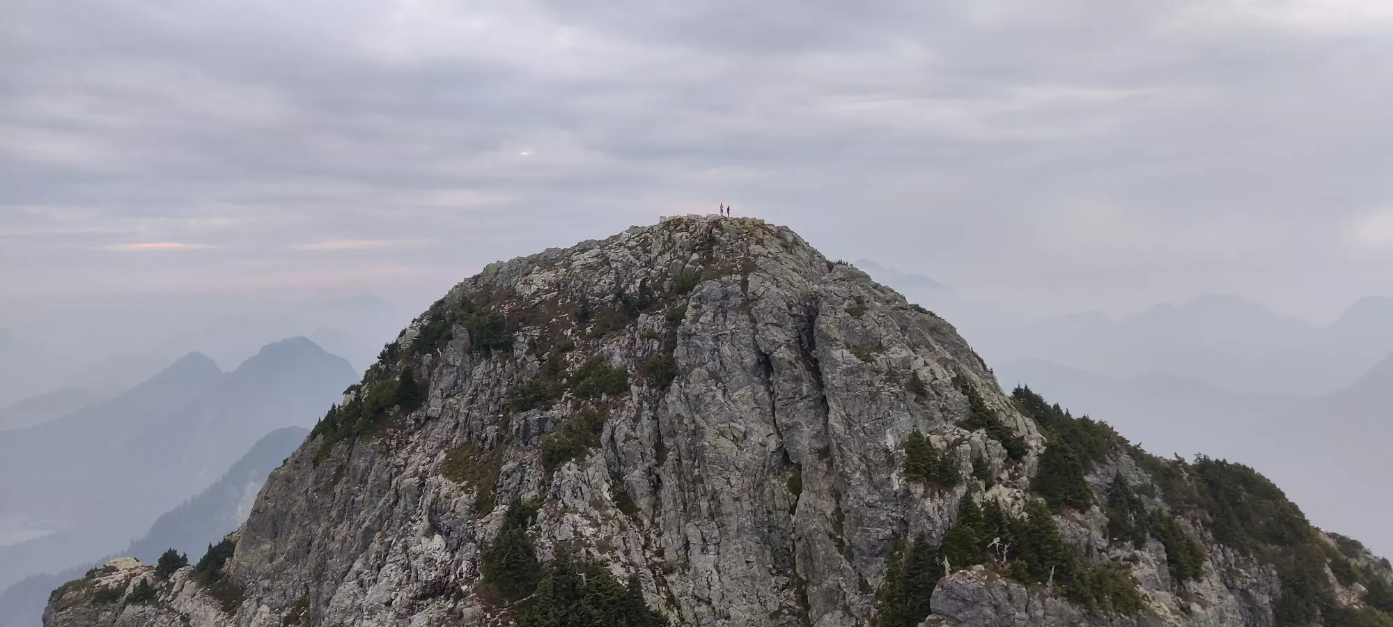
The summit push took just about an hour from camp; with our packs stashed we felt a million pounds lighter. From camp, it's a lot of choose-your-own-adventure over a rocky hillside until you make it to some looser dirt paths as the trail curves to climber's right. There's apparently a couple different paths up a small bump before the final summit block, and the regular path goes right over it, but I found a good bypass that seemed well-travelled. Overall, I recommend following our uptrack if you want to repeat this, it was pretty good the whole way. Once out of these two areas, it's a mix of class 2 scrambling and steep walking up to the summit. I found a couple fun areas to get some class 3 in as well, because I can't help myself.
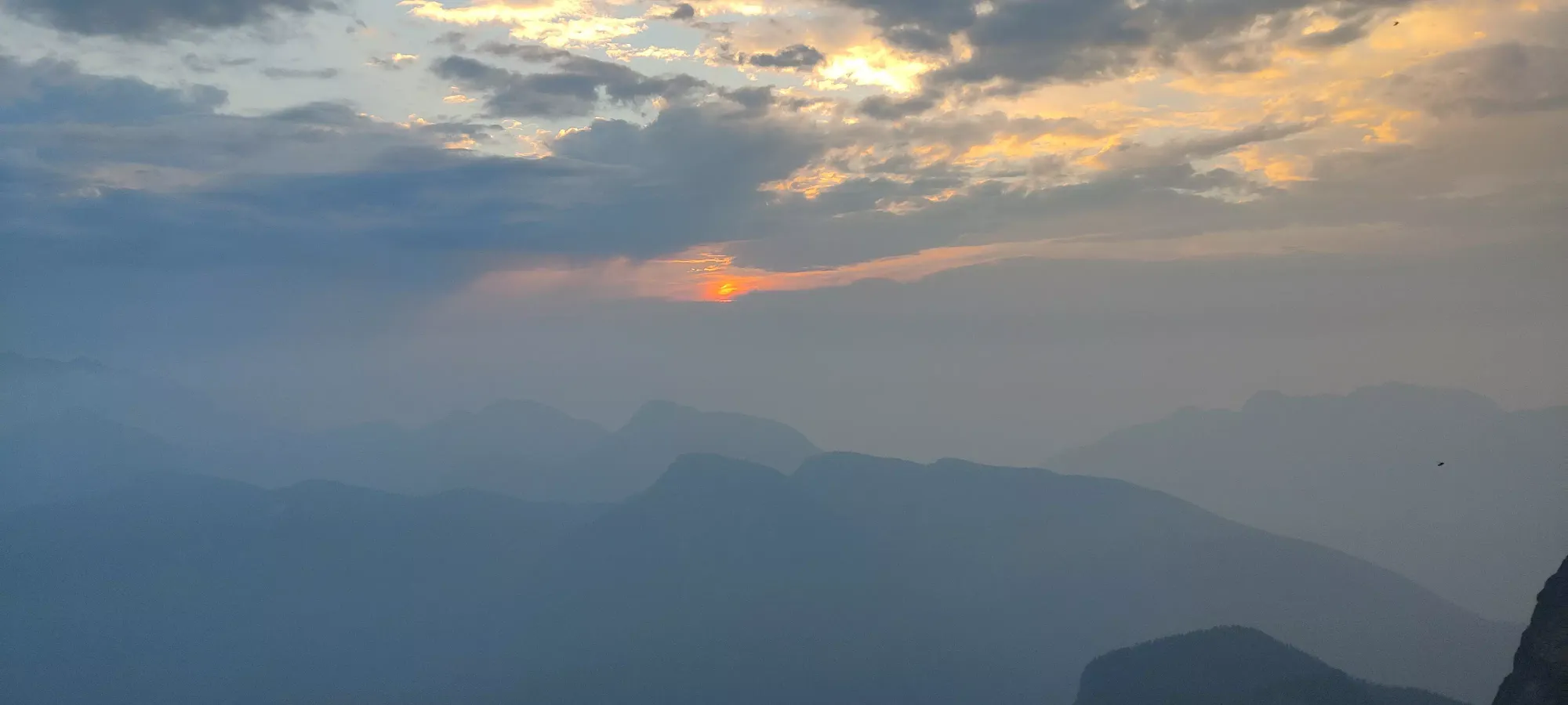
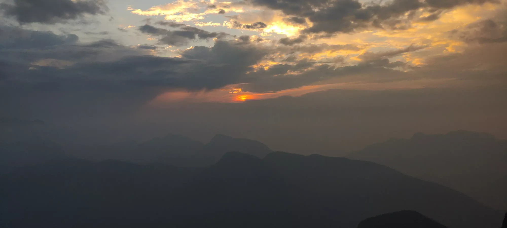
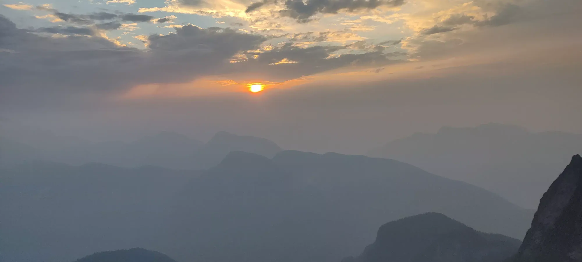
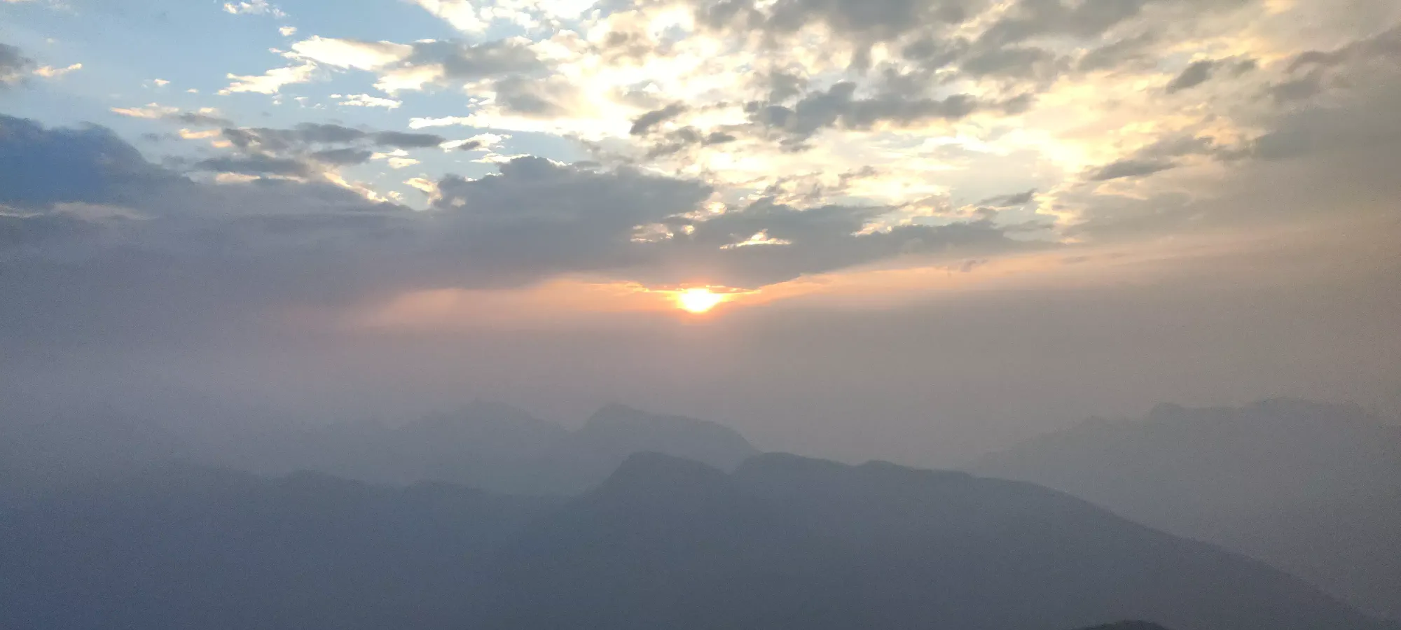
We got up to the peak just a bit after 6am, and indeed made it before the sunrise, so goal #1 achieved! The photos didn't turn out too well because I suck and it was dark, but to be fair there's not much to see with the smoke anyway.
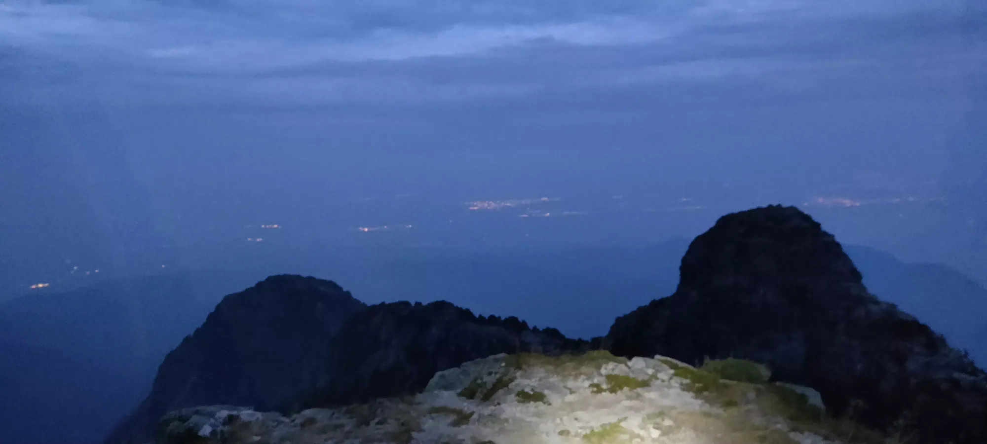
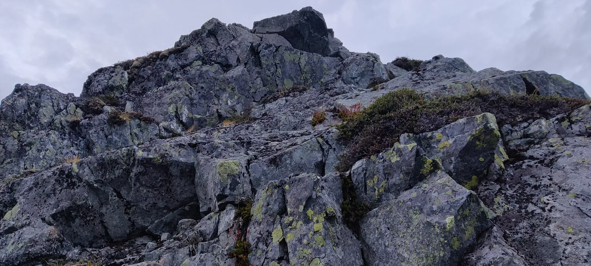
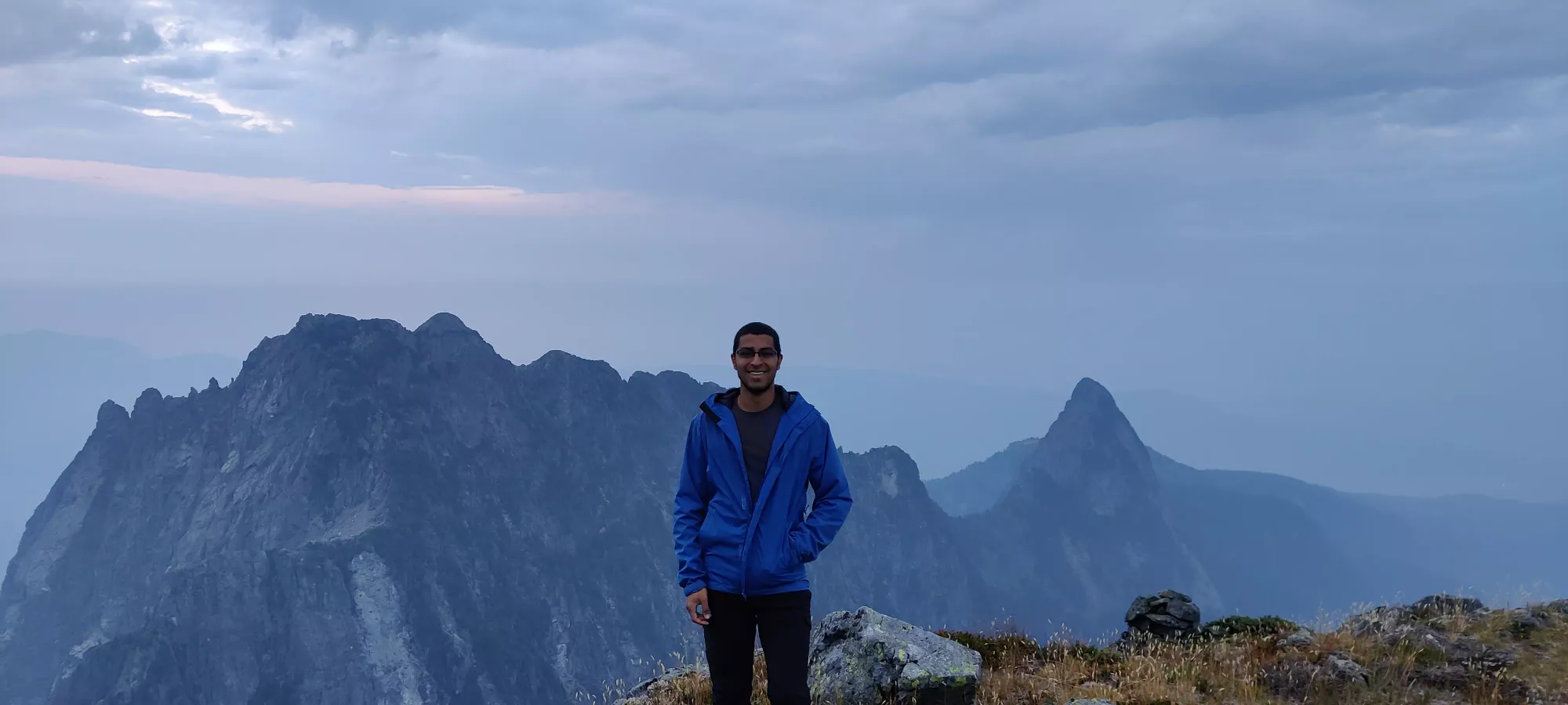
At the top, Lee and Stefan decided to hang on the summit and wait for sunrise, while me and Jass pressed on for the second ear for completion's sake. The downclimb is really just a down-hike, you follow the trail along the summit plateau, go down a ledge traversing across the slope, and hit a dirt trail which bottoms out at the col between the two ears with no obstacles of note. I took a 10 minute bathroom break partway through (thankfully I packed a Restop bag in my shell pocket anticipating this), but even with that it only took 25 minutes from peak to peak.
Once you bottom out the col, you have a small hike followed by a small class 2 scramble up to the peak. We took some pictures here, but didn't stay for more than 5 or so minutes so we could regroup and prepare to head down.
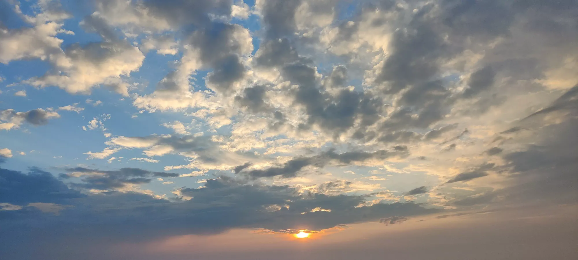
After we regrouped on the main summit, we stood around getting landed on/bitten while we waited for the sunrise to complete. I attempted to play with my camera settings to look like I knew what I was doing, I'll let you be the judge of how successful I was.
I think we left the summit some time around 7:15, and about 10 minutes later I separated from the group and started making a faster pace down, since I only had about 4 hours to get down if I wanted to make my deadline. Sadly, as my GPX shows, I didn't quite take the most efficient path, as I had a particularly large detour down what looked like a real path (which I didn't know the look of because I went up in the dark, and with some scrambling detours), but ended up wasting 10 minutes and a bunch of energy going down, bushwhacking, and climbing back up. I got back to camp, patched up a couple cuts, and ducked out as fast as I could since the bugs were insanely bad. I saw the rest of the group coming down the rocky hill as I departed, and waved goodbye.
The rest of Panorama ridge was pretty uneventful. I wandered off-path a couple more times, but thankfully managed to avoid horrible bushwhacking, sketchy downclimbing, or tiring backtracking on the scale of my previous error, so it wasn't too bad. I was honestly just happy to get it over with and to get back to the forest where the bugs somehow got better. It was about an hour and fifteen minutes from the peak to the turn off of the ridge toward the viewpoint. From there, it took just under an hour to get out of the steeps and back to the bottom of the stairs above the creek area. In that section, I managed to pass the other group we saw camping with us, who strangely didn't appear to have attempted summiting. At this point, I saw a lone camper who ended up starting late on the Sunday and camped below the stairs, and sadly had to turn around. I've been there buddy, you'll get it next time!
The plod down the creek bed was as annoying as ever, without much to note. I made it back to the same viewpoint I took the picture at in 2021 and on the way up at about 9:50, and took a couple photos with, at least, less smoke than the previous day.
Honestly, the rest of the descent doesn't really deserve more than "I walked down, somewhat expediently". I ran into one or two people coming up, but way less volume than on the weekend. The terrain was gentle enough to facilitate trail running, but the creek bed was too rocky, the dirt parts too root-y, and the final gravel bit I was simply too tired and my feet too sore to bother running (and I had time, anyway). I made it out at about 11:15, so thankfully I did manage to make it to Lee's place in time to get my bike, and got back to Squamish in time for work.
So, would I recommend this peak? Yeah, it's a pretty notable peak in the area, Golden Ears is a 1000m prominence peak, and the views are good if you don't go in the peak of forest fire season. If you like winter mountaineering, I might try it then/springtime to make the shittiness of the trail less relevant. If you do it in the summer, it definitely can be done in a day, but I would recommend not planning on being able to trail run much, as the terrain just doesn't facilitate that well. The campsites are pretty decent though, so multi-day trips do make it a lot more "chill", and also present the opportunity to add multiple peaks back-to-back, since there's established routes between many of the peaks in the area. Honestly, I'm just happy to finally check this off after 2 failed attempts in the beginning of my peakbagging career.
GPX Track + Map