Evans Peak - July 14 2024
A small and easily-accessed peak in Golden Ears Provincial Park, this is a digestible, though somewhat steep, hike for those not looking for a full-day outing. It can be combined with other mountains to get a longer outing, though.

Golden Ears Ranges, Maple Ridge, British Columbia
1132m
Now on day 2 of my on-call weekend, I once again needed a peak to bag which would keep me in relatively good cell-reception. Unlike the previous day, though, I also had dinner obligations for the afternoon/evening, so I had to keep things short and sweet. Thankfully, (after a quick check of the Telus Coverage Map), I had Evans Peak in my back pocket for these kinds of days, and had the wherewithal to wake up at 7am to secure a day-use pass on the preceding Friday, so a plan was set. Evans requires only 1000m elevation gain and less than 10km of hiking from you, and was snow-free at this time of year, so it promised to be short enough that I'd not be late for family dinner that afternoon 🙂
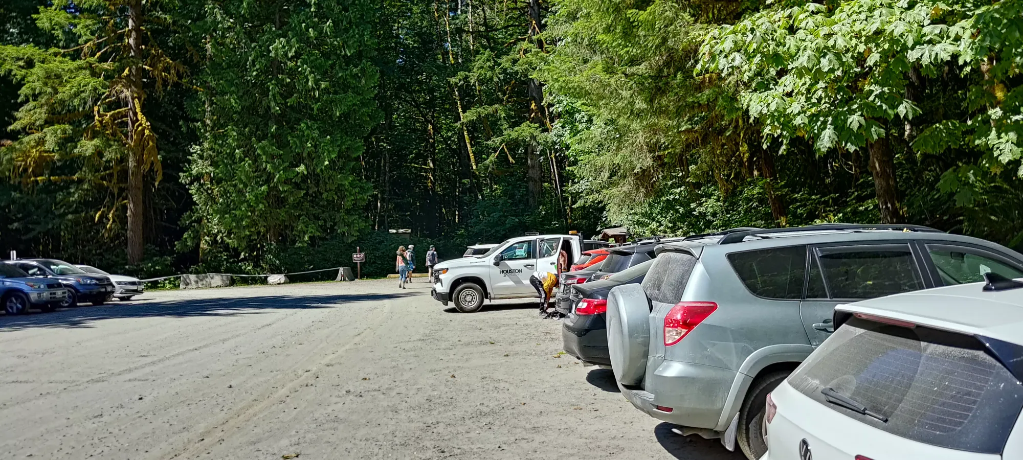
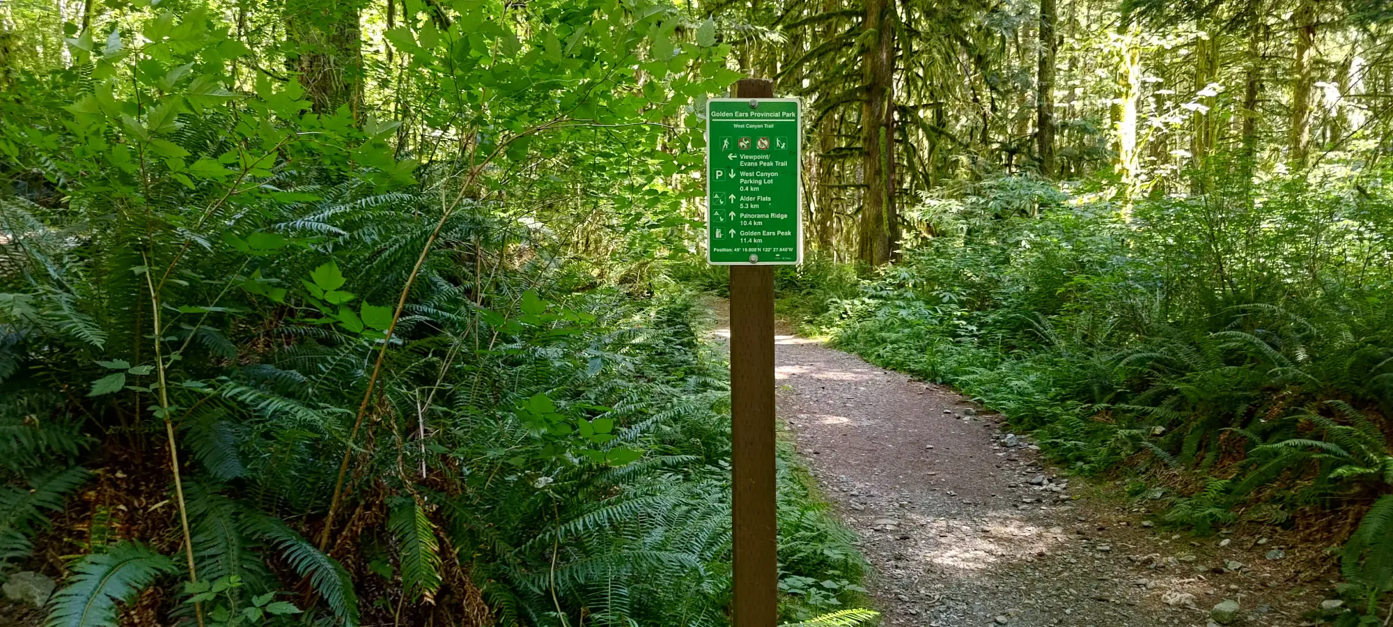
Since my previous night was quite late, and my health still not stellar, I left home fairly late for a day in the mountains, but without any traffic to speak of, I got myself to the trailhead just before 11am. Thanks to the reservation system, I was able to secure a parking spot at the West Canyon Trailhead without issue, and after an unfortunately moquito-ey visit to the pit toilet (thankfully I managed to avoid any bites), I got moving at 11:02am.
The West Canyon Trail starts out as basically an old forest road, super-wide and graded with gravel. After stopping for a few minutes to help some confused campers find their campsite (they were in the wrong lot 😅), I quickly got myself to the turnoff for the Viewpoint Trail, which is much of an actual trail.
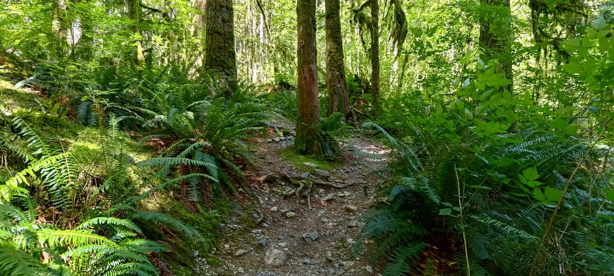
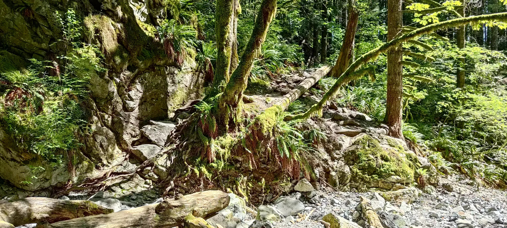
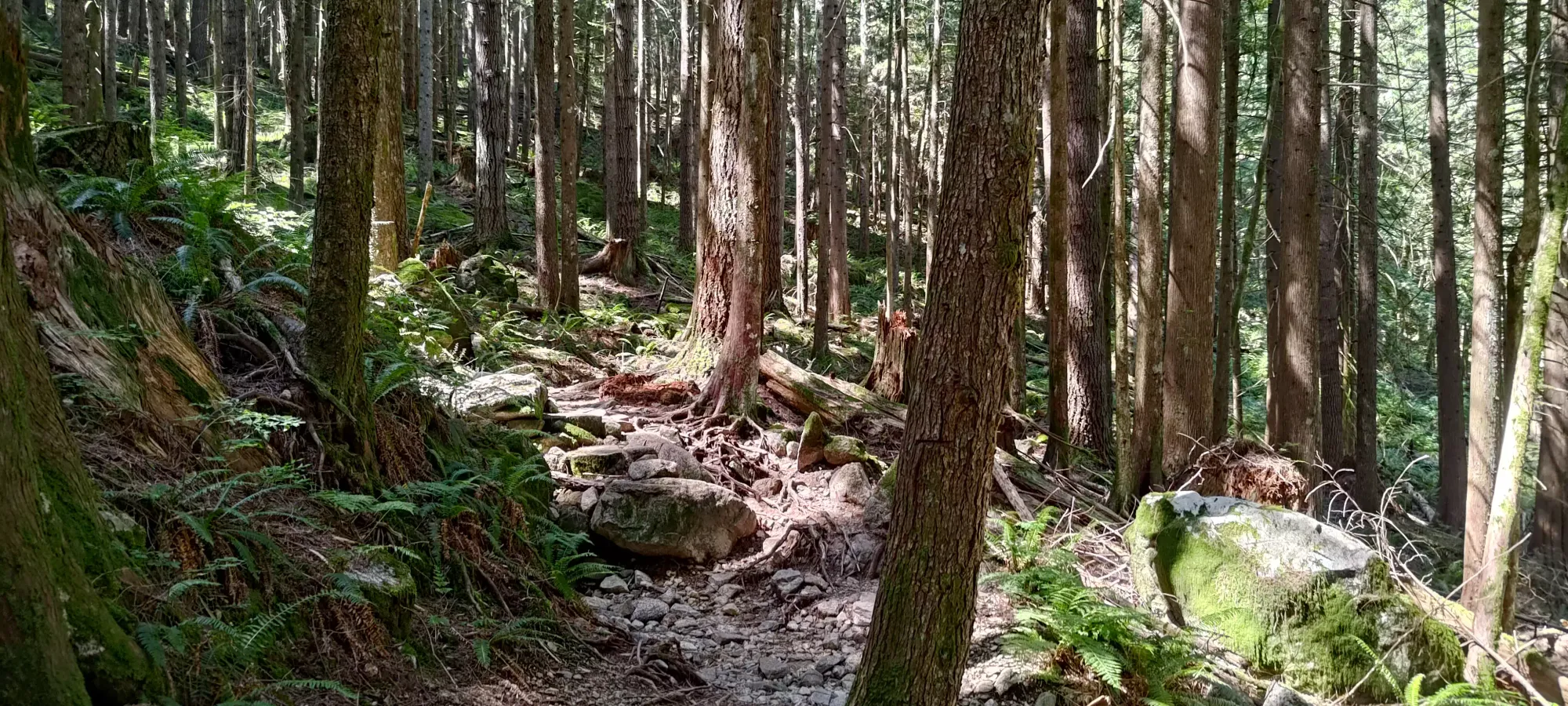
This trail is quite well-maintained, with a gentle enough grade to allow for a trail fairly free of roots and rocks. It would make for excellent trail-running terrain, if that's your jam. I just walked it at a slightly-faster-than-casual pace, since running is quite difficult for someone with my injuries, especially after a big day on Saturday. In about 15 minutes, I arrived at a washed-out section that crosses the (now dry) unnamed creek that flows between Evans and Viking creeks. It is still hikeable terrain, though, and you can see the well-defined trail on either side, so it shouldn't throw anyone with a pair of eyeballs off-course.
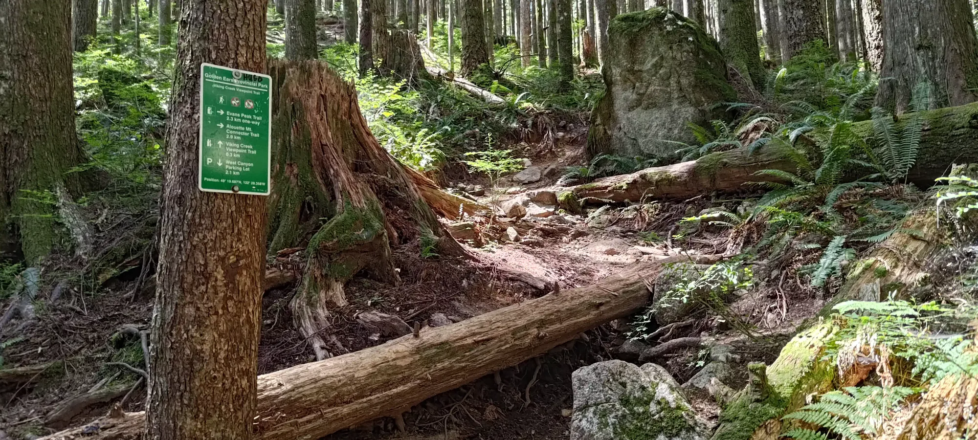
10 more minutes of hiking got me up to just over 400m elevation, meaning I'd knocked out about 200m on the easy Viewpoint Trail. That brought me to the fork where the Evans Peak trail splits off to climb up, whereas the former continues towards Viking Falls, which I had no interest in on this day.
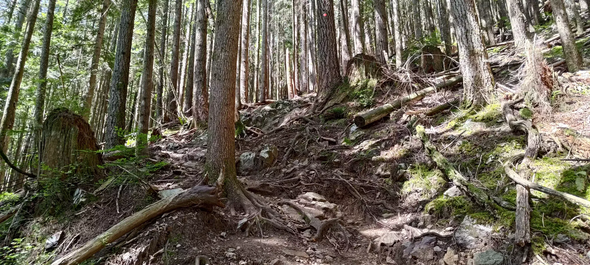
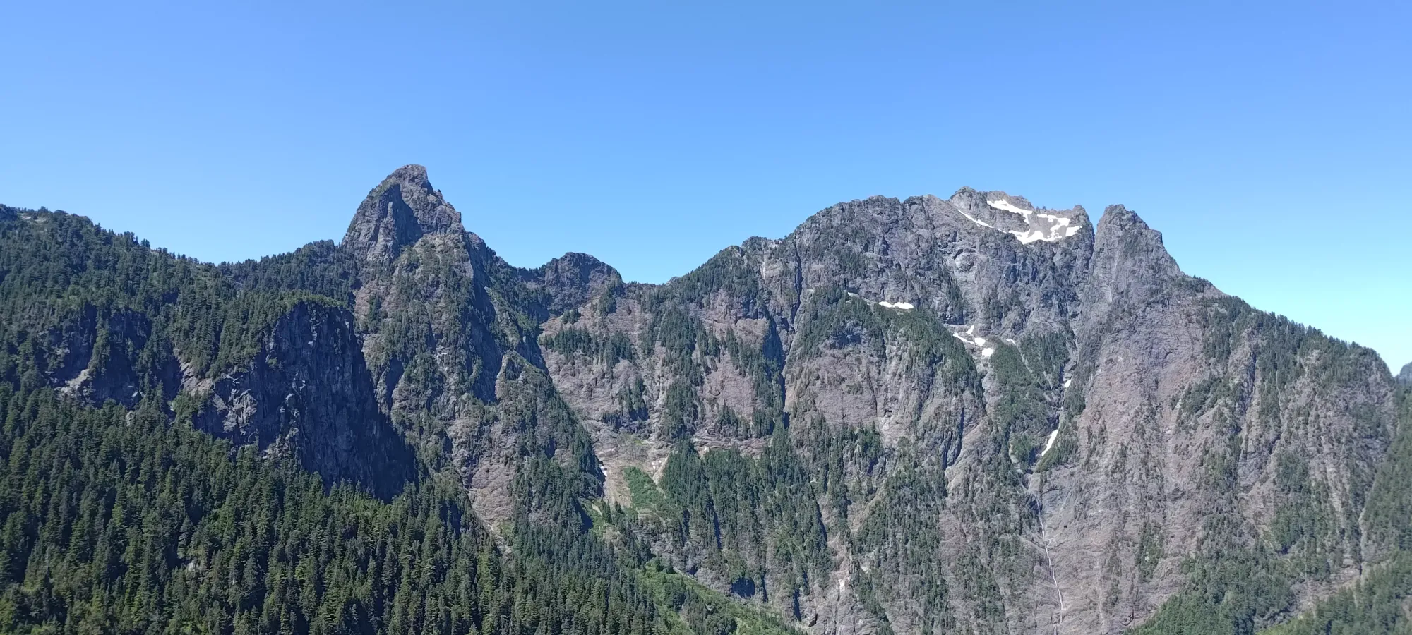
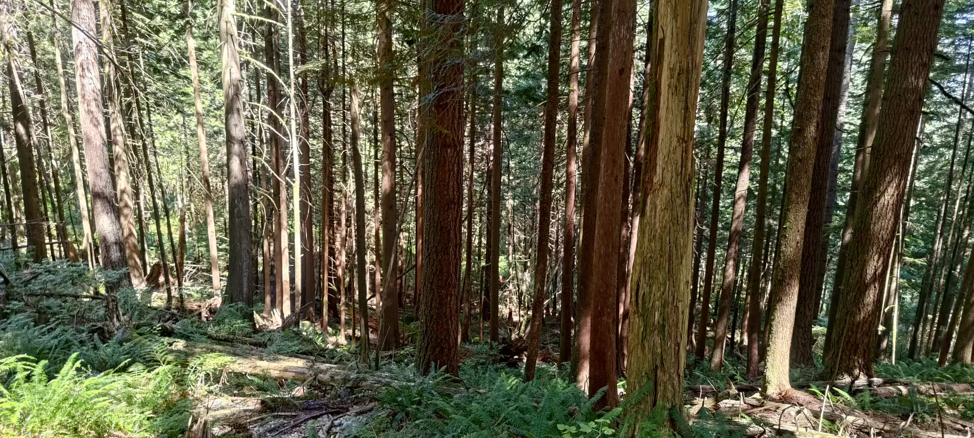
Once on the Evans Peak Trail, the terrain turns from easy walking to fairly steep, rooty terrain, with a sprinkling of loose rocks on top for good measure. On the way up, this doesn't pose much of a challenge other than "just being tiring", but that's kinda just how hiking works. The combination of these factors is more meaningful on the way down, where going too fast can easily lead to tripping or slipping, so I'd not call this great running terrain. For my purposes, it served well enough, and I grunted up for about 45 minutes in the heat before I finally hit the viewpoint I'd set as my goal where I was "allowed" to take a break, at around 800m.
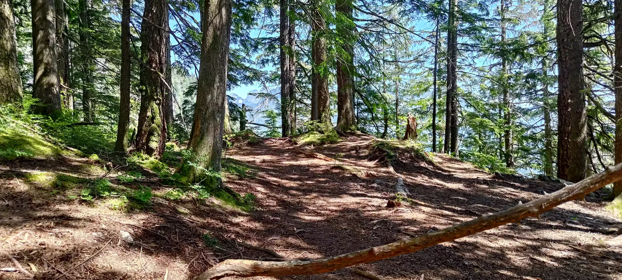
Past this point, the trail eases in grade slightly, and climbs up to just below 1000m, where it forks; left going towards Alouette Mountain, and right heading up to Evans Peak. I completed this section in just under 20 minutes, then hopped my way across another dry creekbed (this one much smaller than on the Viewpoint Trail), through a root-dense section of ground, then across some mostly-dry mud to where the trail got back into better shape a couple dozen metres beyond the junction.
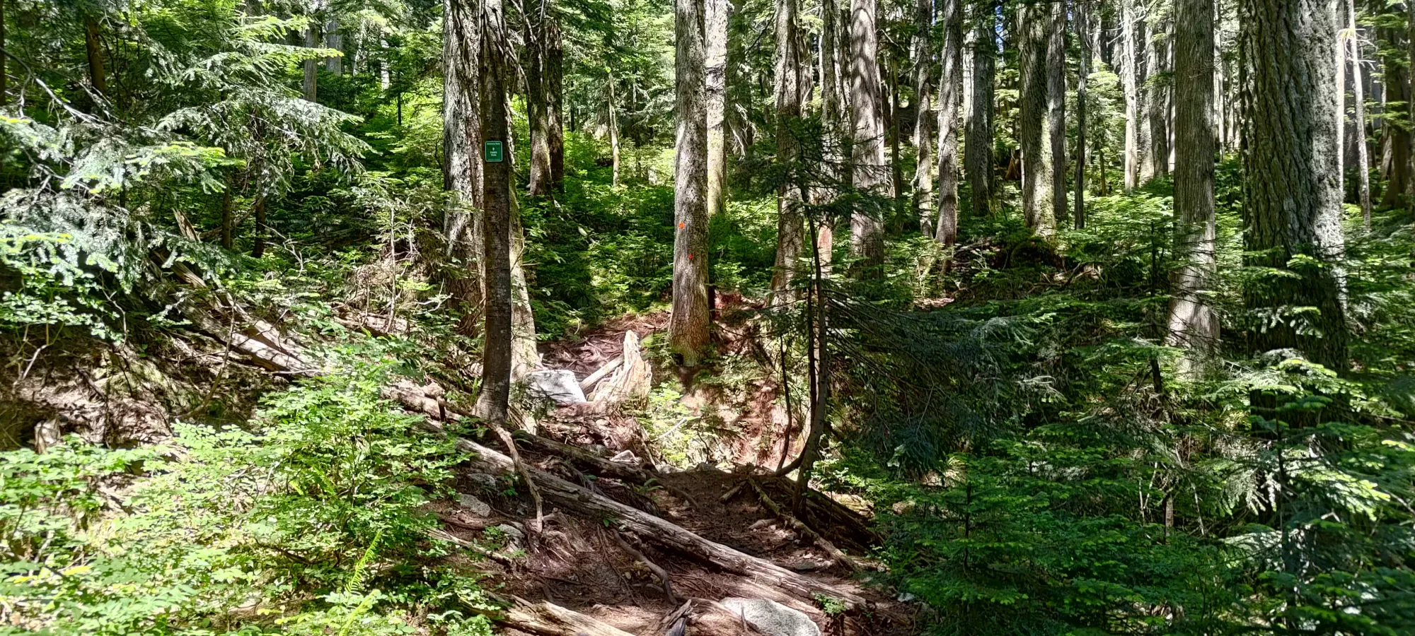
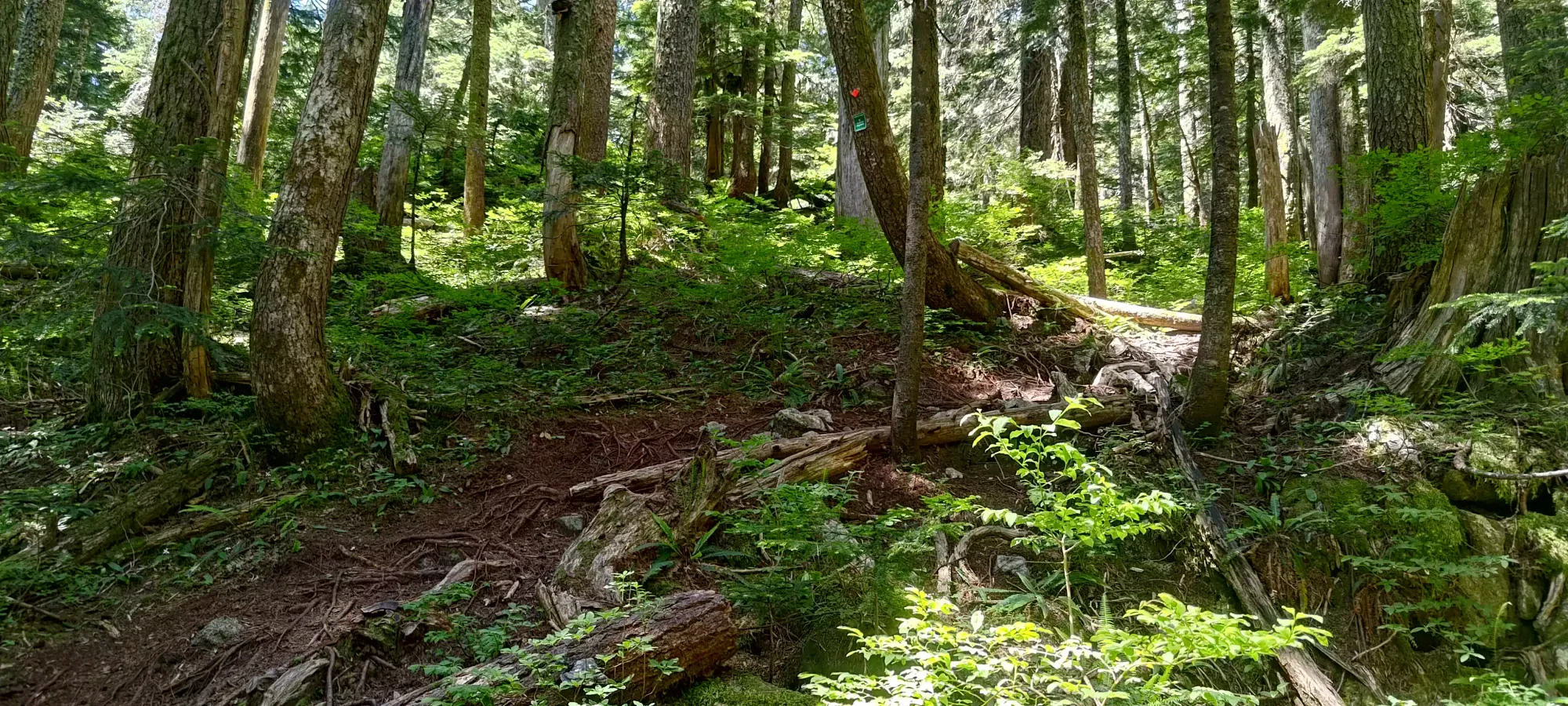
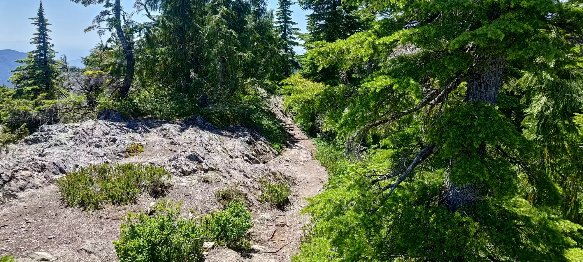
Past this point, the grade eases off for about 600m as the trail traverses the mostly-flat SW ridge connecting Evans to Alouette, going over a 20-30m high bump along the way. After that, it steepens one final time to get from 1000m to 1100m, where the terrain levels off in the sparsely-treed summit area. I spent about 15 minutes hiking along and then up the tighter summit-bound trail until I arrived at an unexpected (probably because I didn't read any trip reports beforehand, just knowing this place was frequented by casual hikers was enough for me to know I'd be fine) fixed rope covering a small scramble section.
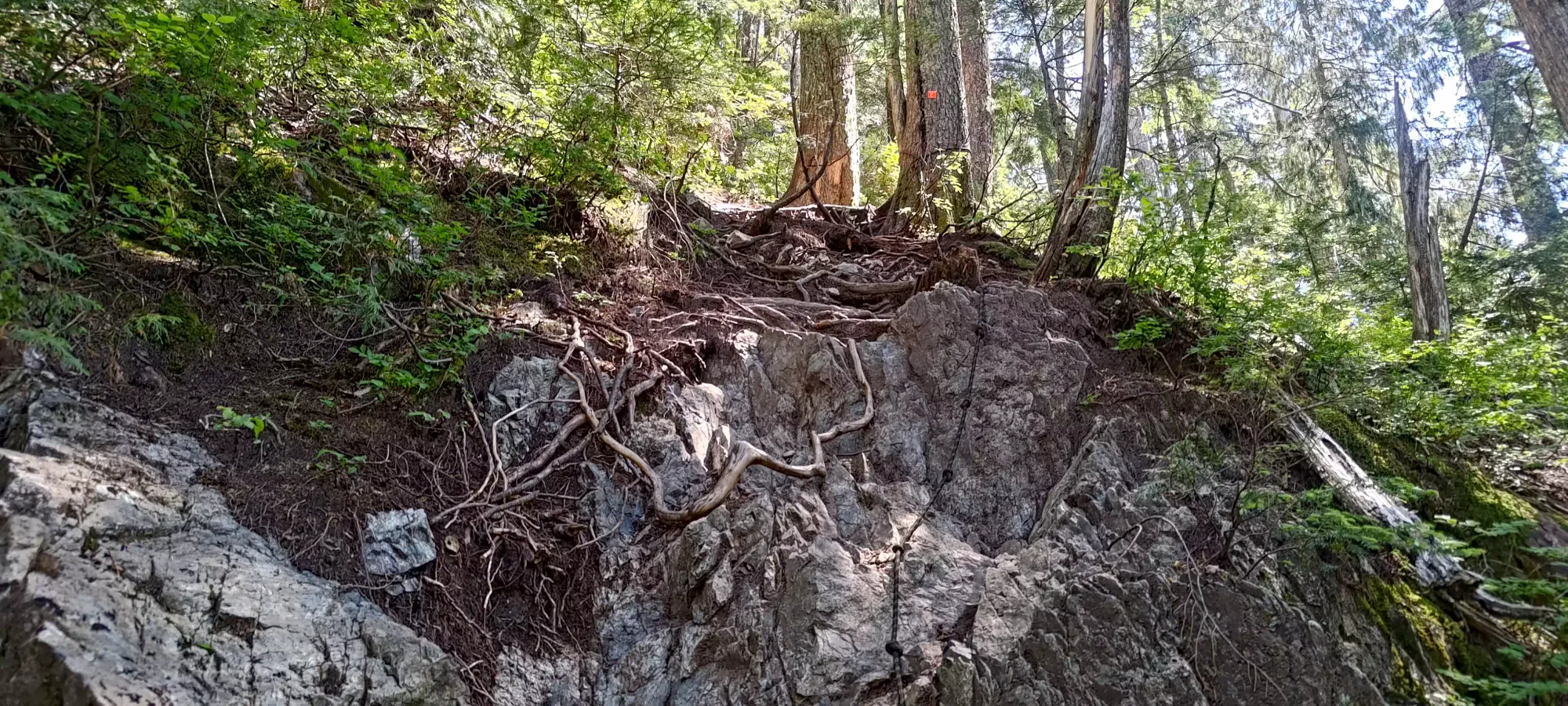
I'd made a bit of a point of not using my hands at all to this point, not because I was planning to eat finger food or anything, but "just because I do weird stuff sometimes" 😅. This, however, did get me to put my hands on the rock. Of course, I would never use the fixed rope, and it really was pretty egregiously unnecessary. There were a couple easy class-2 scramble moves, and then the hiking resumed. A couple minutes later, though, the second fixed rope appeared in a somewhat more difficult section.
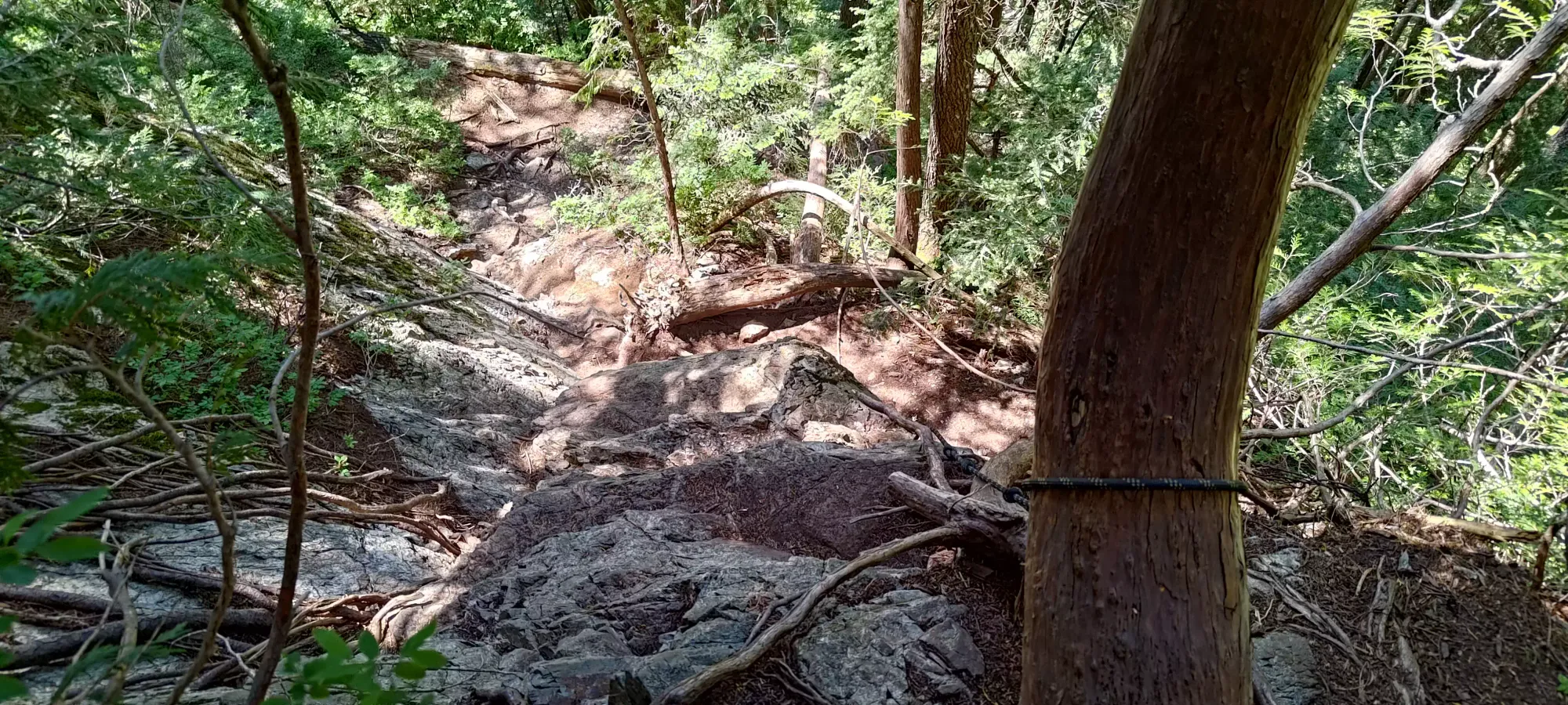
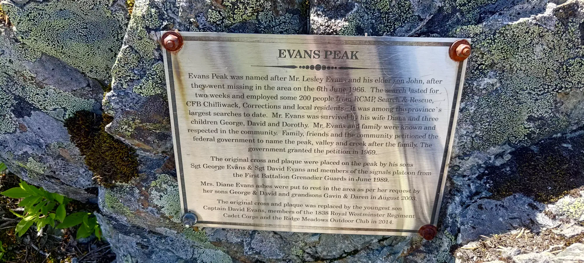
This second scramble required a couple more challenging moves to avoid the rope, but it was still very much doable, and actually a little bit of fun too, which was nice on this otherwise very straightforward hike. After that, it was back to simple hiking, and another 10 minutes brought me to the summit area. The trail degrades a bit just before the true summit, but you can still follow the obvious path a few metres beyond to get to the true high point, marked with a small plaque discussing the etymology of the Evans Peak name.
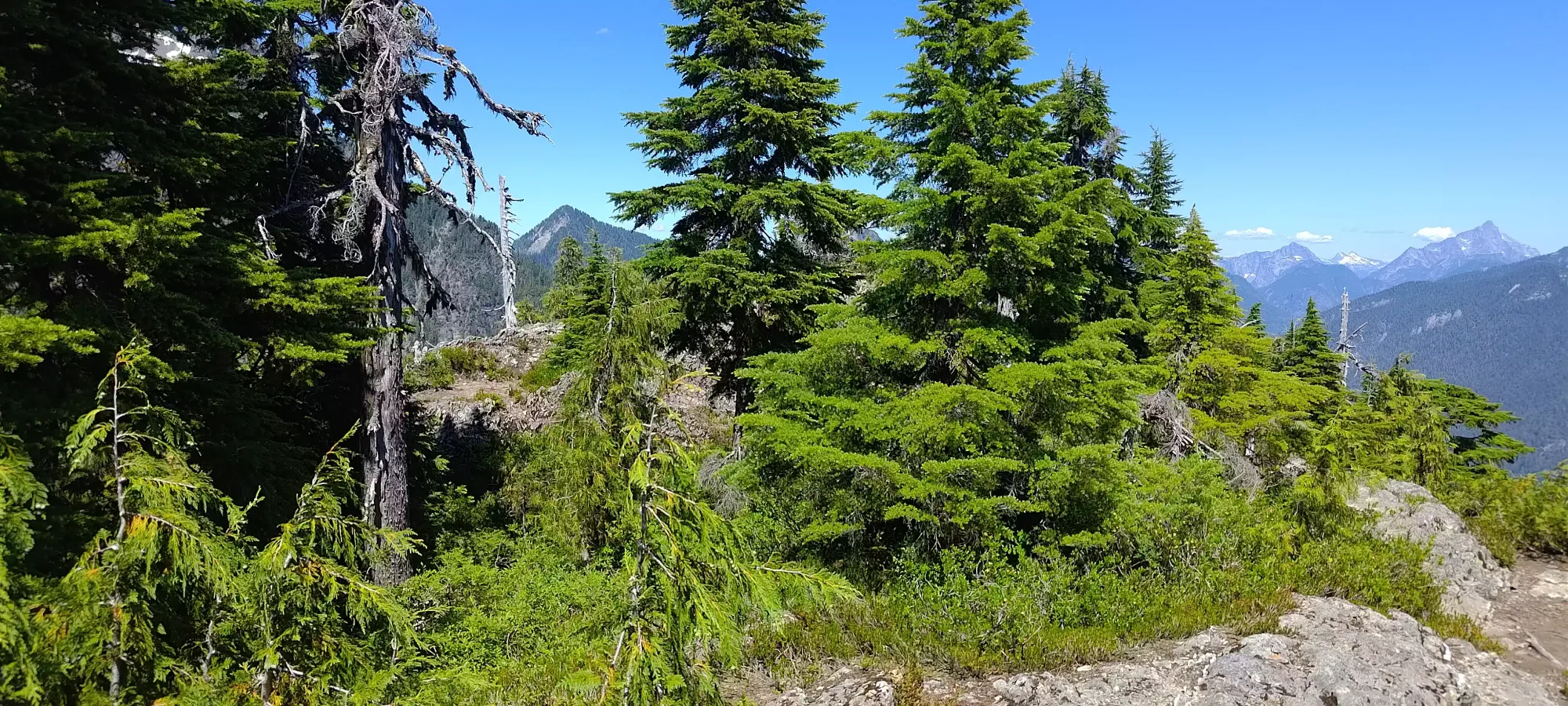
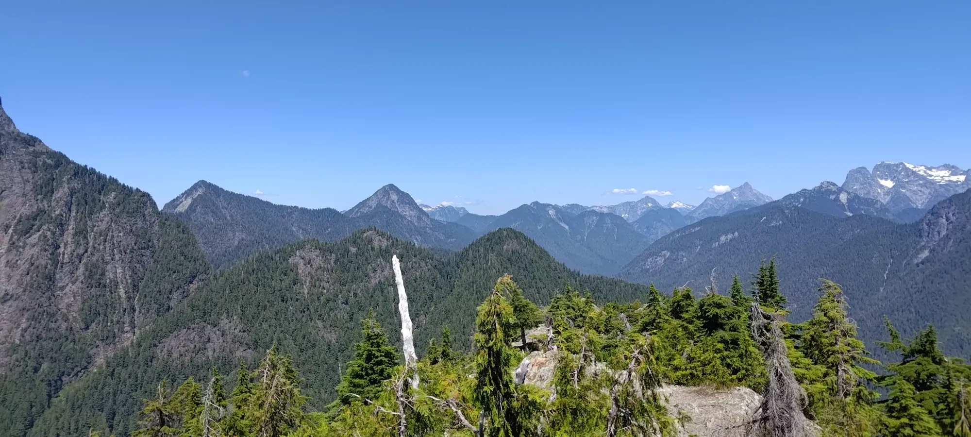
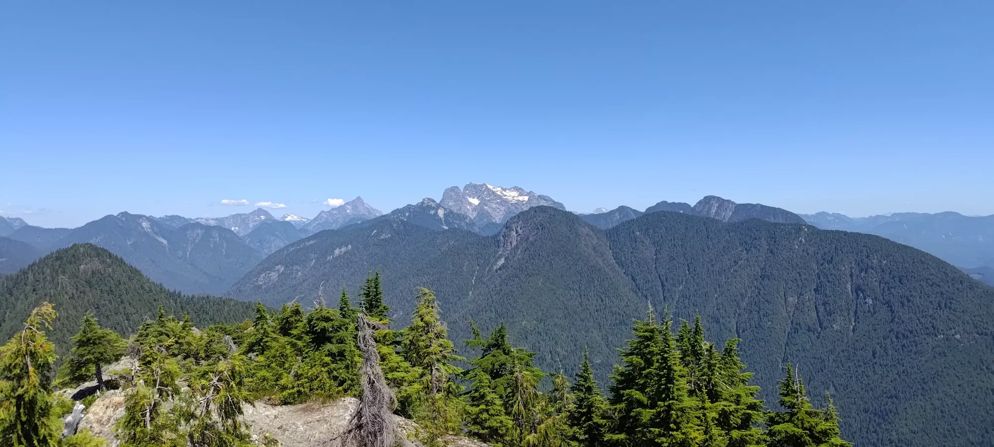

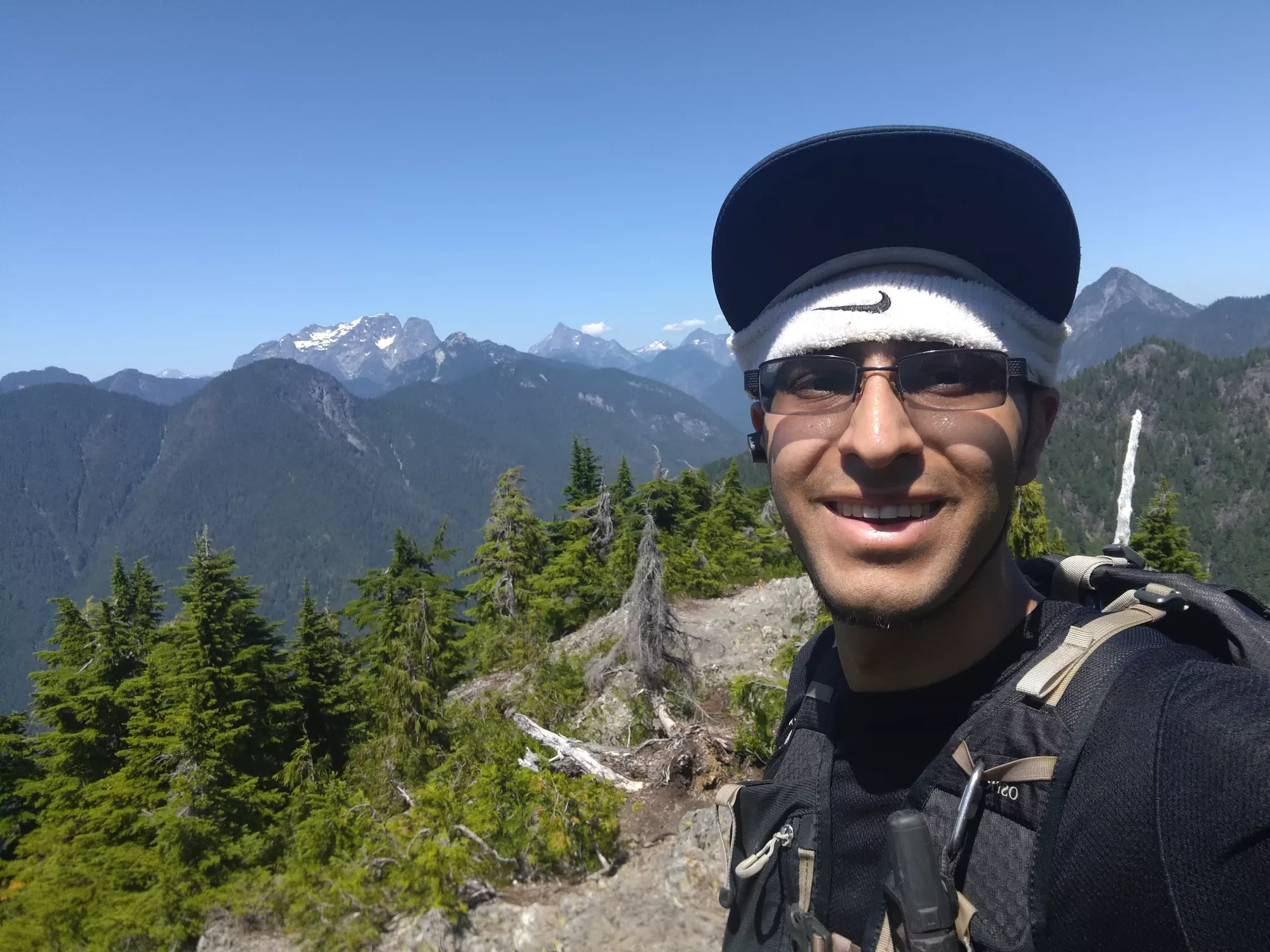
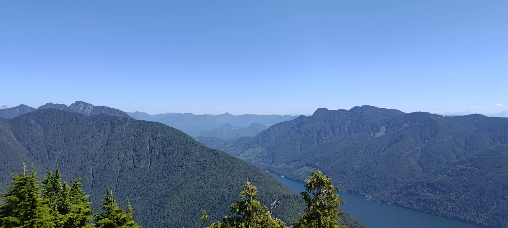
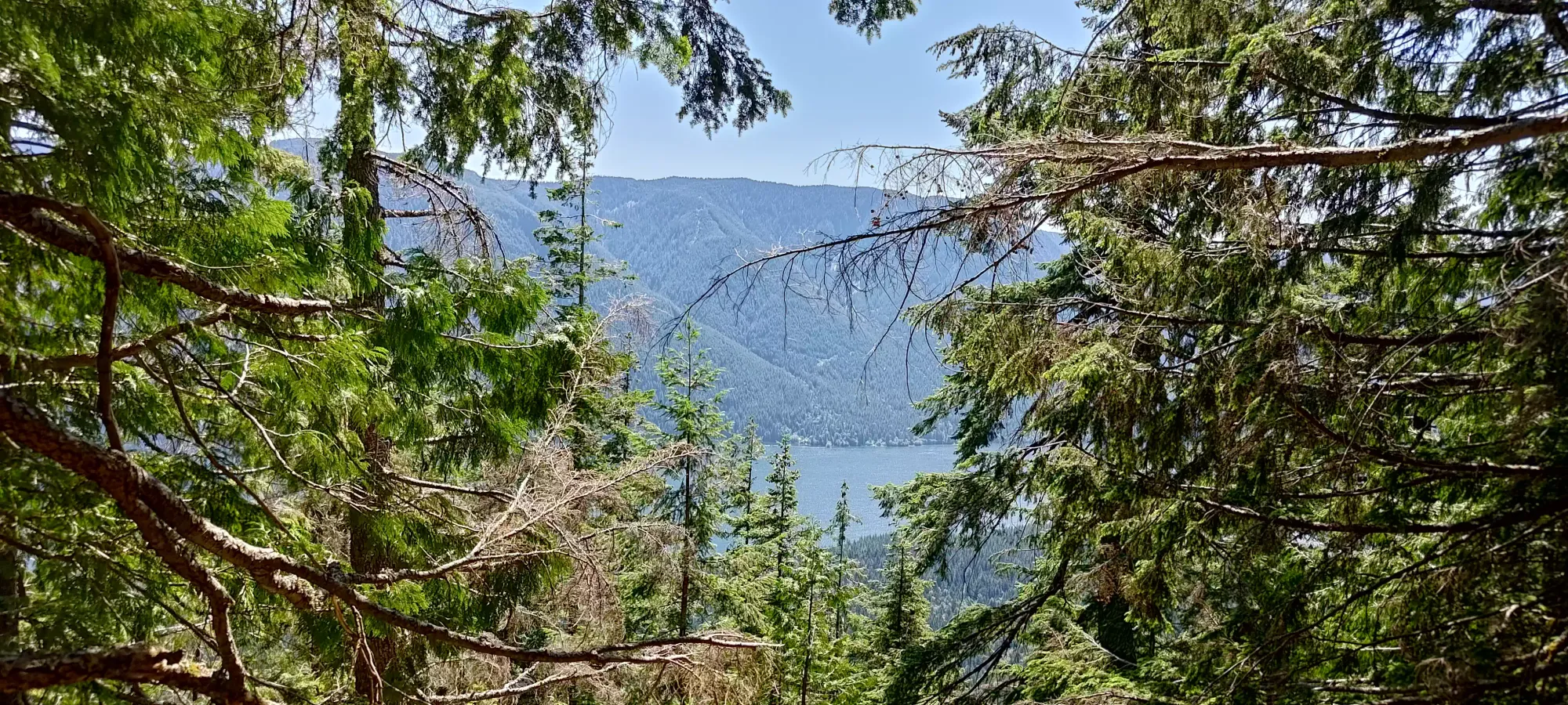
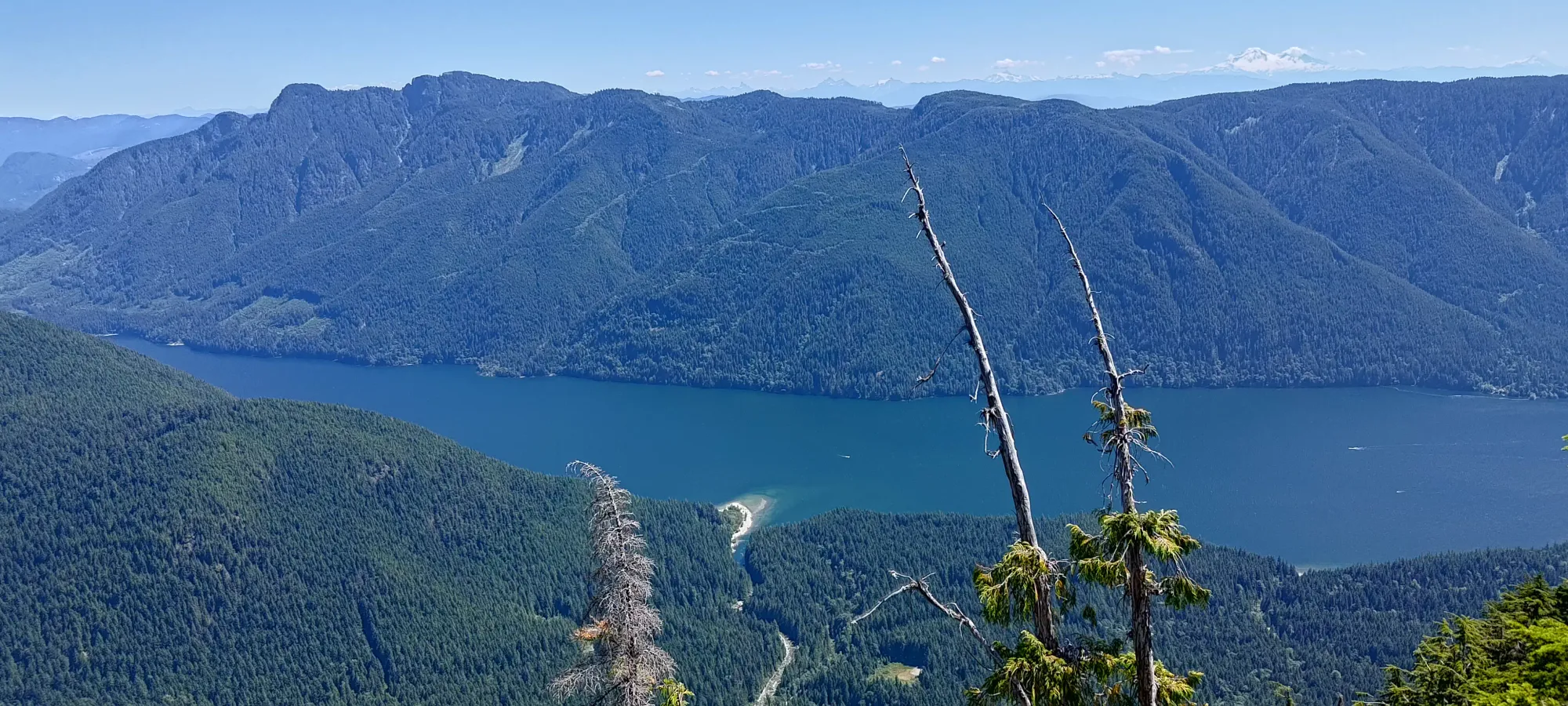
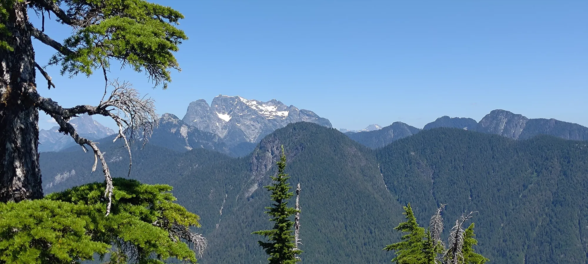
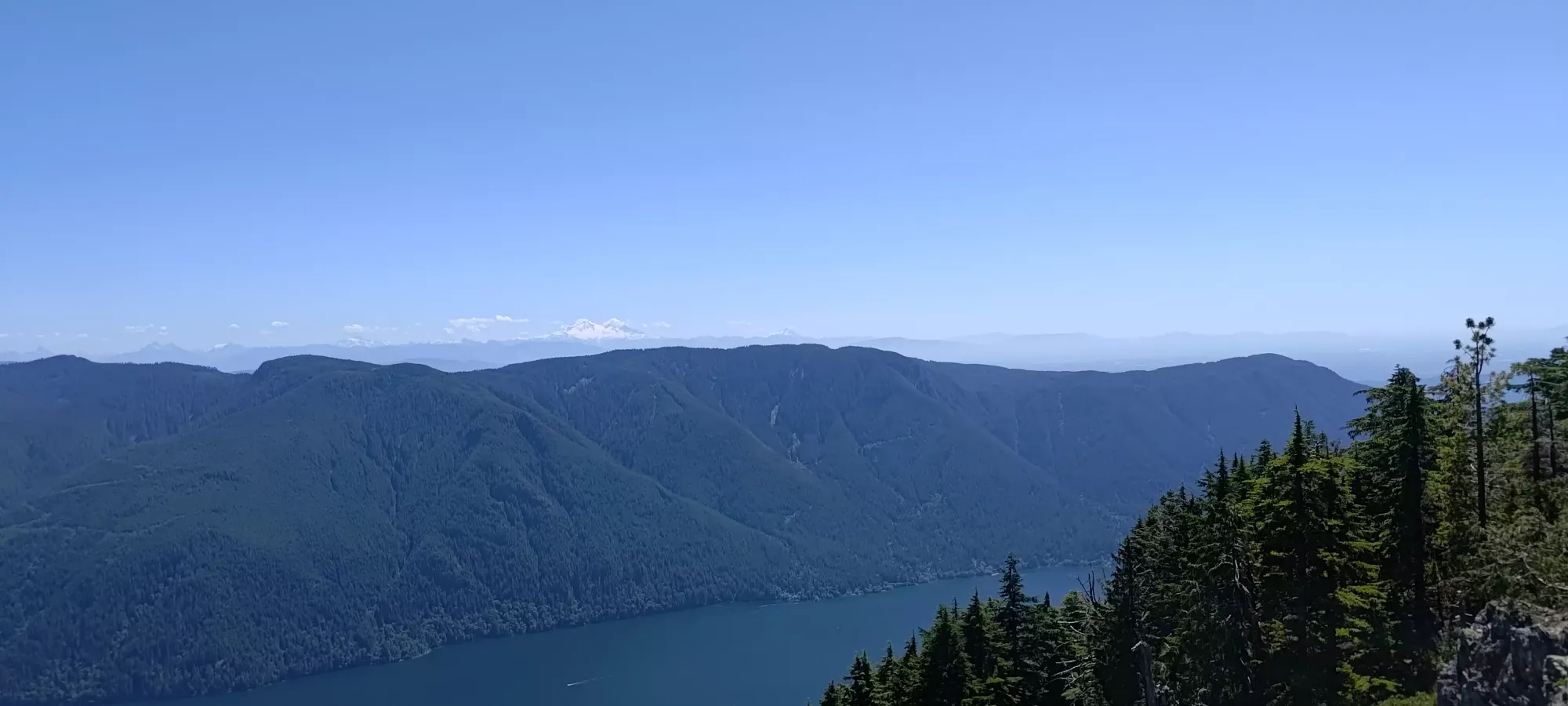
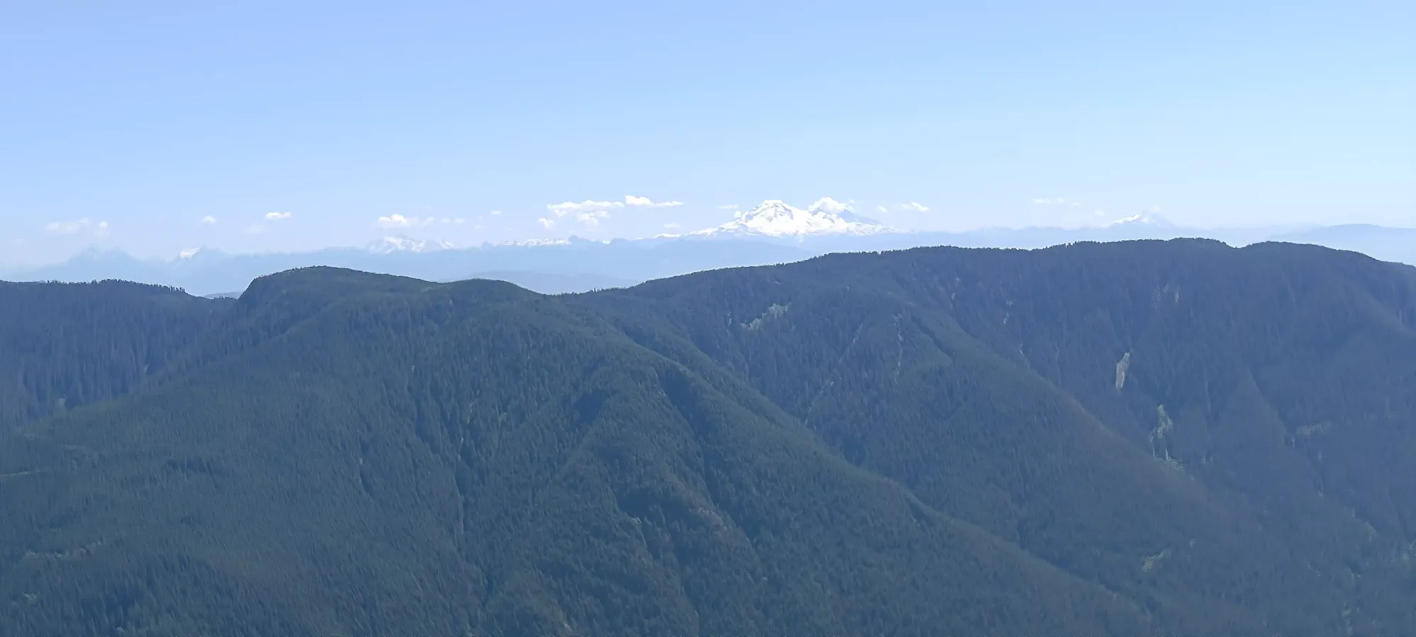
I traced my way back from the true summit a bit to get better views of the south/southeast, since there were fewer obstructions on that side of the trail there. I also found a somewhat shadier spot to have some water and some fruit gummies there before my descent.
Overall, I summit in about 2:15 or so, and with a 10-minute respite, I was ready to get back down, hoping to find time for a shower between my hike and meeting my family for dinner. My overall descent took 1:45, so not that much faster than the way up, mostly due to the hard-to-be-fast-on terrain on the Evans Peak trail, and a bit of generic tiredness (with a splash of meeting a nice hiker on his way up who I had a nice chat with at the 800m viewpoint on the way out). 75 minutes were spent getting down to the viewpoint trail, then another 25 to get back to the parking from there.
All-in-all, the whole outing took a hair over 4 hours, leaving me plenty of time to have a shower and arrive on-time for dinner, so I can't argue with the results 🙂. I would say the cell service was a bit less consistent than the maps led me to believe, but it came back in often enough I'd not be disastrously lagging for any alerts that may have required my attention, so that was fairly successful as well (and thankfully, no such issues arose).
Given that, I would say this is a good back-pocket hike when you're looking for an easy/short day, or on the other end, it would make a decent addition to a traverse including Alouette and Blanshard, or even Edge and Golden Ears if going for gold. That would be a long, but still feasible outing.
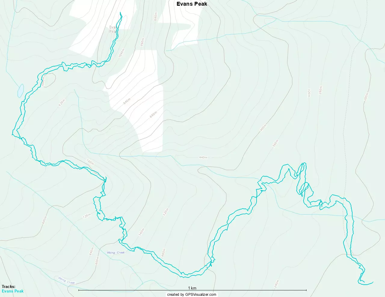
GPX Track + Map