Empetrum Peak - October 22 2022
Just Cinder Cone would be a boring and inefficient day, so I decided to tack on Empetrum Peak as well
Garibaldi Névé, Squamish, British Columbia
1985m
After bagging Cinder Cone, I couldn't just leave the day with one meagre peak, so instead of retracing my steps down the way I came, I took a descent line from Cinder more northwest instead of straight north, hoping to find a gentler way down that got me closer to the next destination. Conveniently, I left almost exactly 3 hours in, around 1:30pm, which makes time-estimation easier. The descent was just as annoying as the ascent, even though this was a different face which was probably slightly less steep. Still too many loose rocks sliding about under your feet to comfortably move down with anything but trepidation.
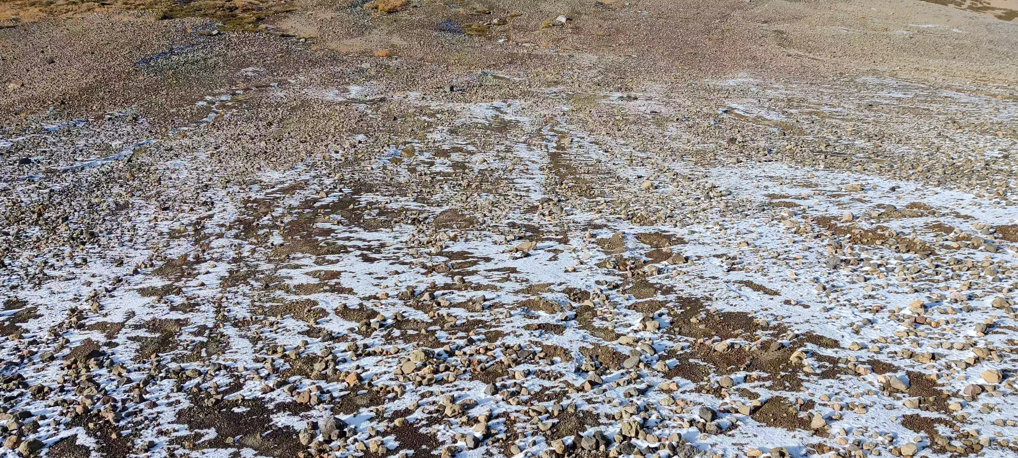
If nothing else, this wasn't too long-lived, and in just under 15 minutes I made it out of the ugly hillside and into much more pleasant, solid ground. There was one ridge to walk over, and then a long, fairly-flat section of ground (probably old glacier plains) to cross over before I started gaining up to Empetrum.
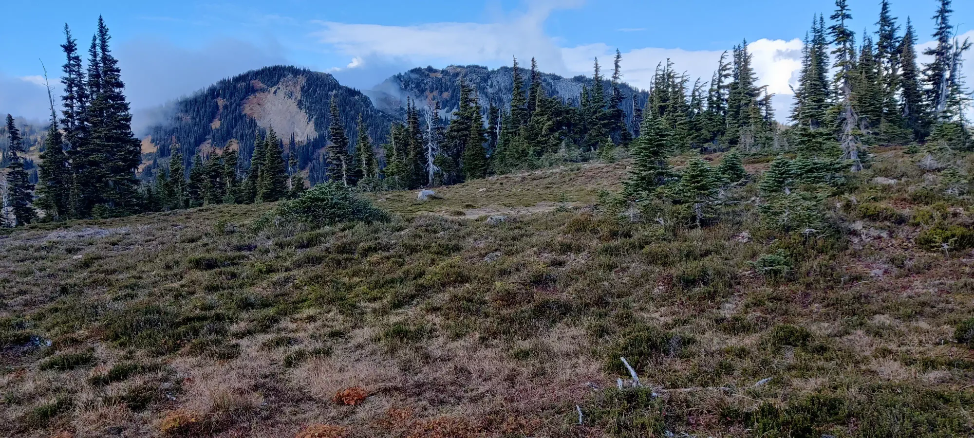
15 more minutes brought me to cross paths with the Helm Creek Trail, where the flat section really started, bringing me to the banks of Helm Creek (funny how that works). That section also took about the same amount of time, bringing the total trip time (from the car) to just over 3.5 hours when I got to the shores of Helm Creek. I wanted to cross at the point I arrived at based, hoping to be able to cut up the forest on the eastern face of the false summit, but my hopes were dashed upon seeing the creek.
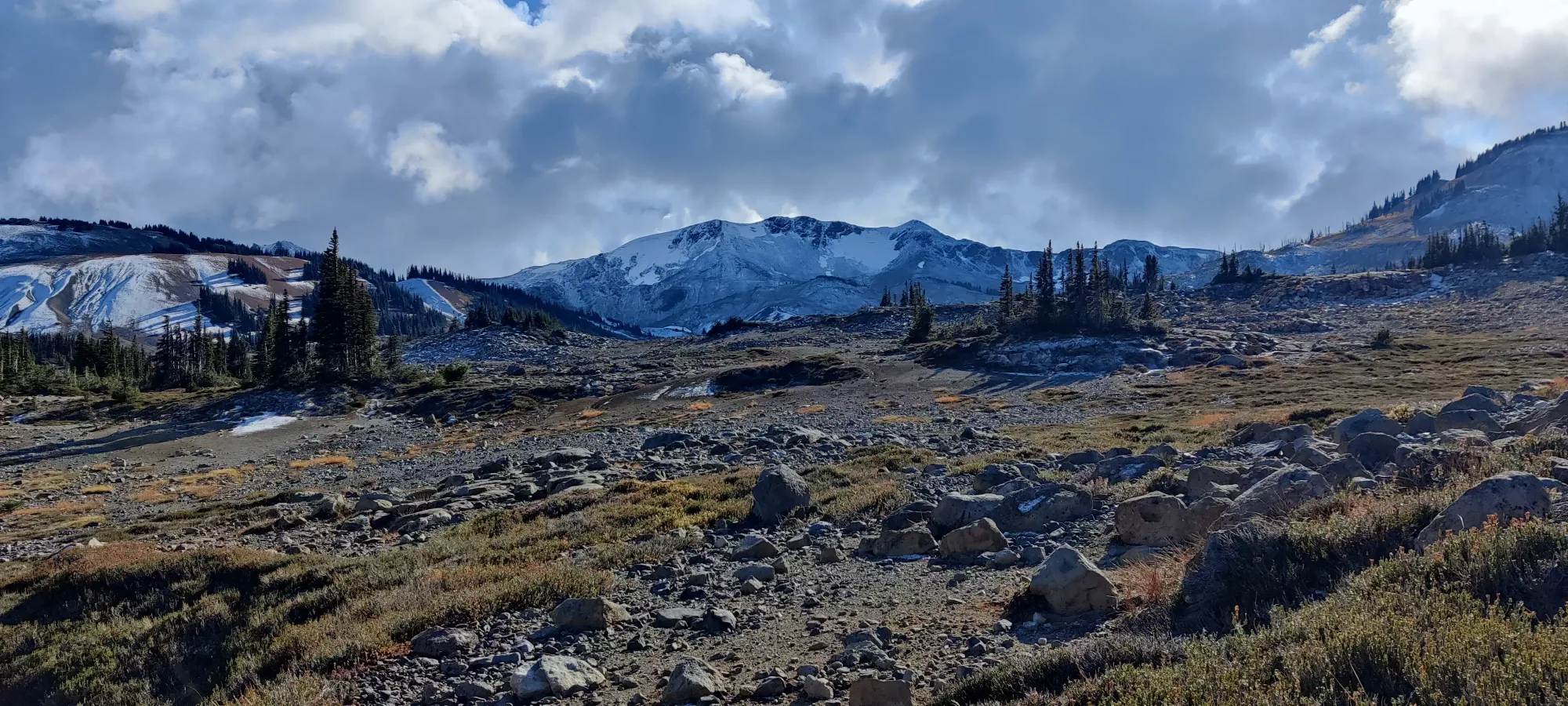
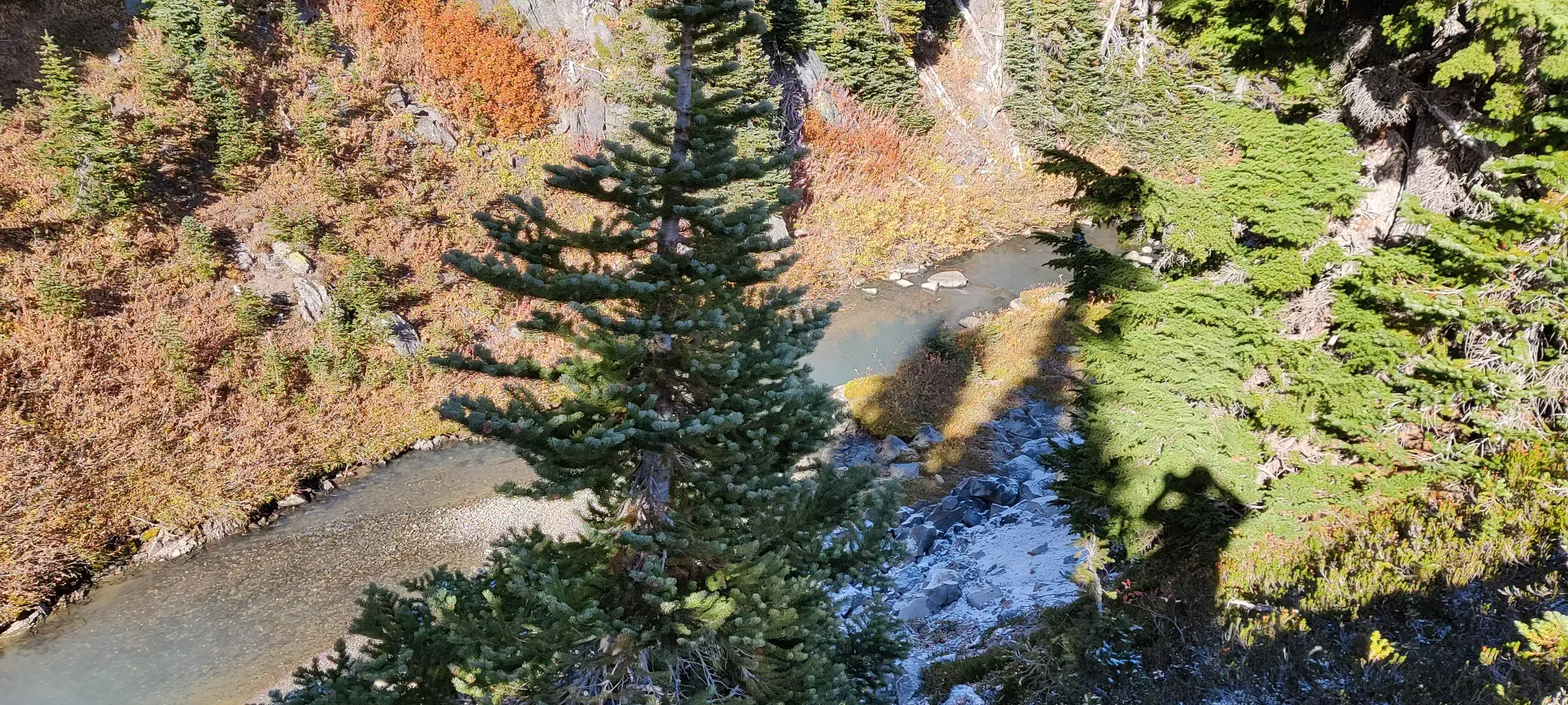
Thankfully, my original plan I roughly sketched up on AllTrails was not to cross here anyway, but instead take a more-gentler-than-my-eyes-thought path toward the Tusk-Empetrum col, and come up the south side of the false summit. This also meant crossing higher up the creek, which seemed much more pleasant. Sure enough, just a few minutes of walking along the top of the banks brought me to a bunch nicer-looking cross without large cliffs, and rocks to hop on.
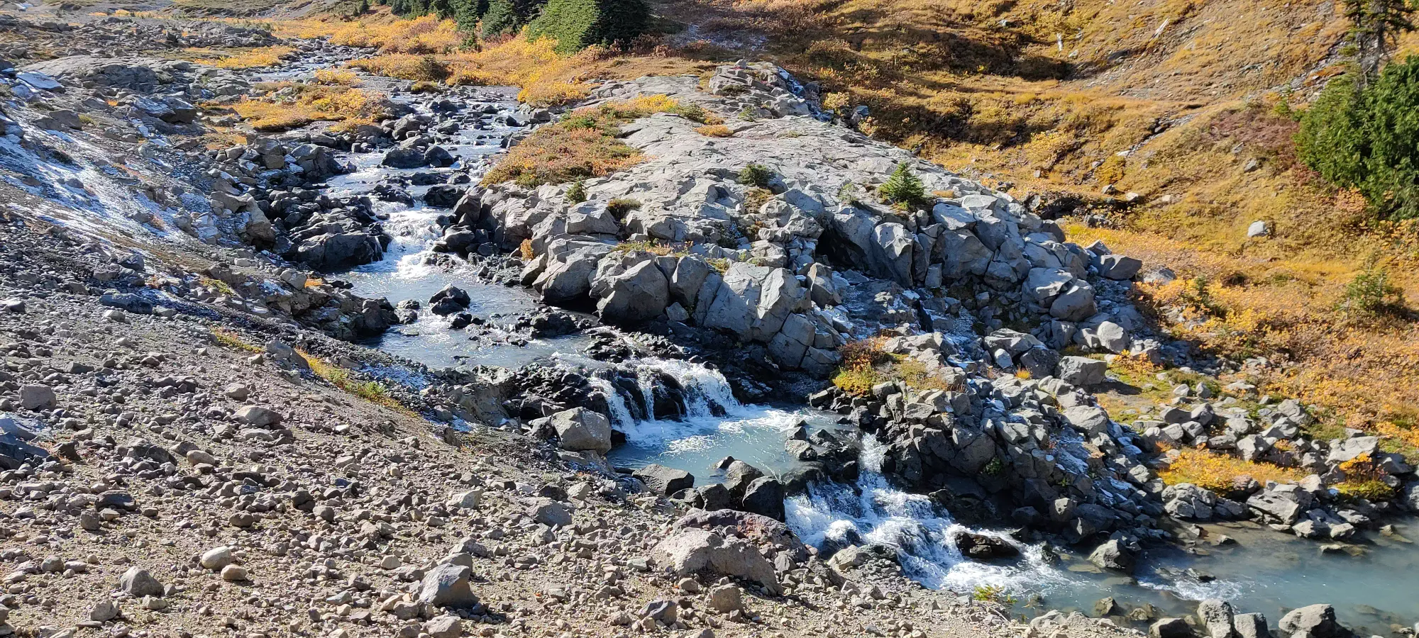
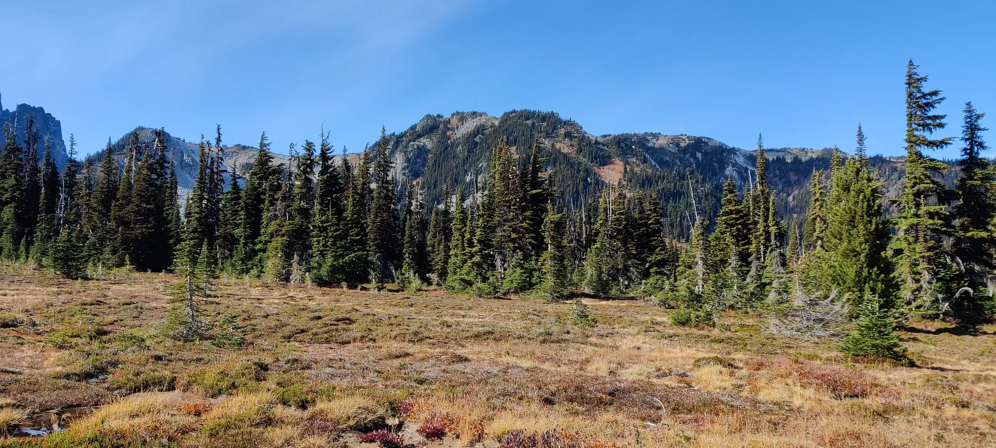
Getting most of the way up to the col is actually pretty pleasant terrain still, bringing you all the way up to about 1800m without any meaningful terrain difficulty. The col technically is a bit higher than that on top, but is blocked by some trees. They certainly could be bushwhacked through, but I turned north a bit sooner, going through a nicer-looking part of the forest. This worked out well, and I got through it with only some mild "bush-brushing", before hitting a steep not-exactly-grass (I am terrible with wildlife, both plant and animal) slope to start trudging up. It was dry, at least, which made progress tiring but quite manageable.
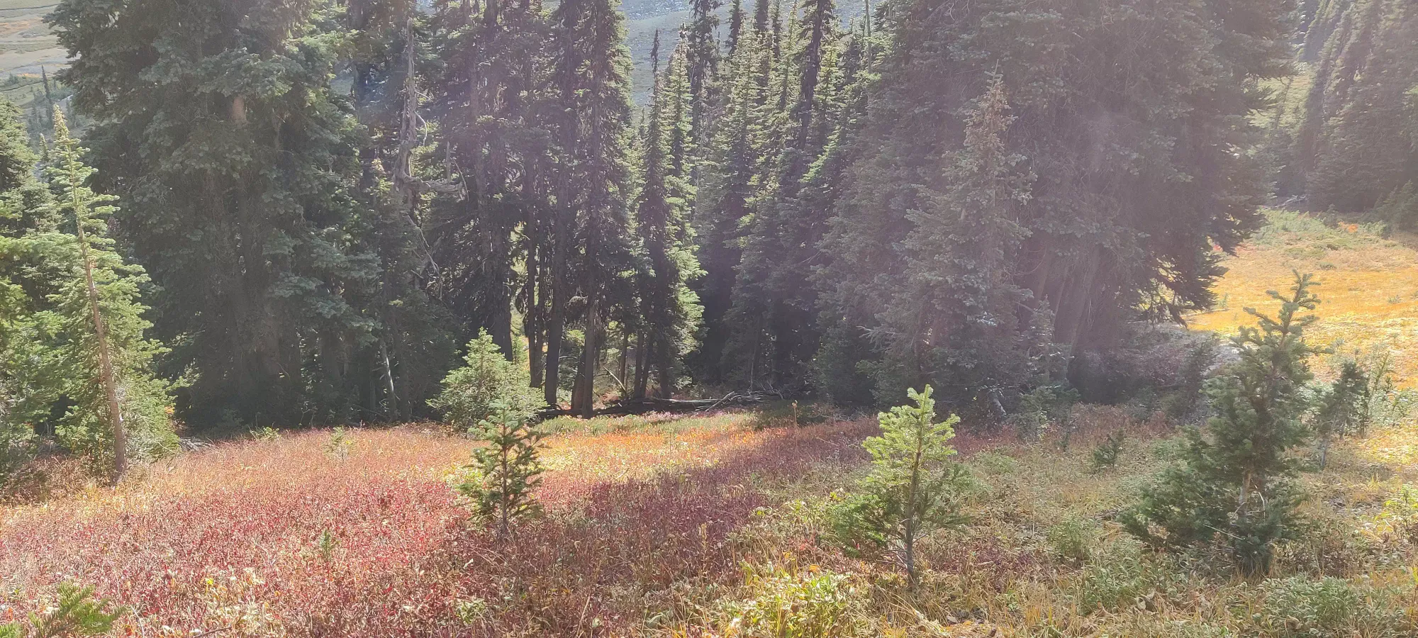
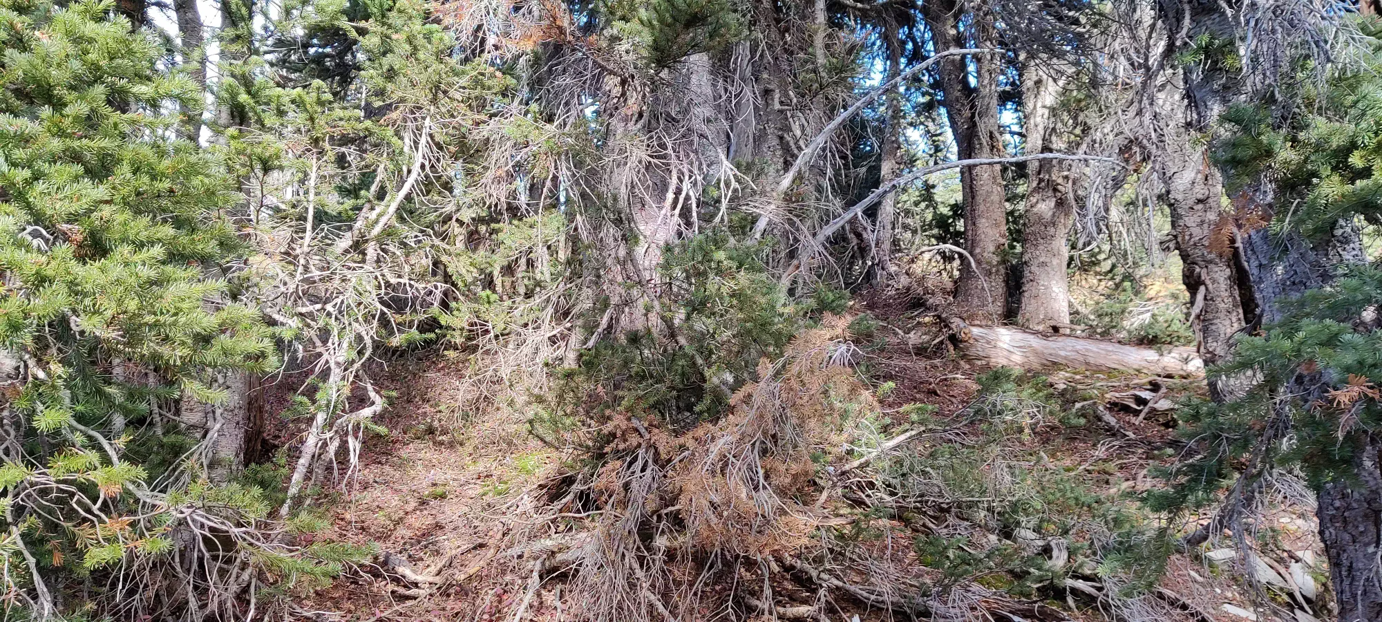
Unfortunately, at around 1850m, my luck ran out, and some thicker bushwhacking was in order. However, I was pleasantly surprised by its brevity and no-more-than BW2 difficulty. Not 3 minutes later, I stood on the summit ridge, with only a "regular walk" between me and the top.
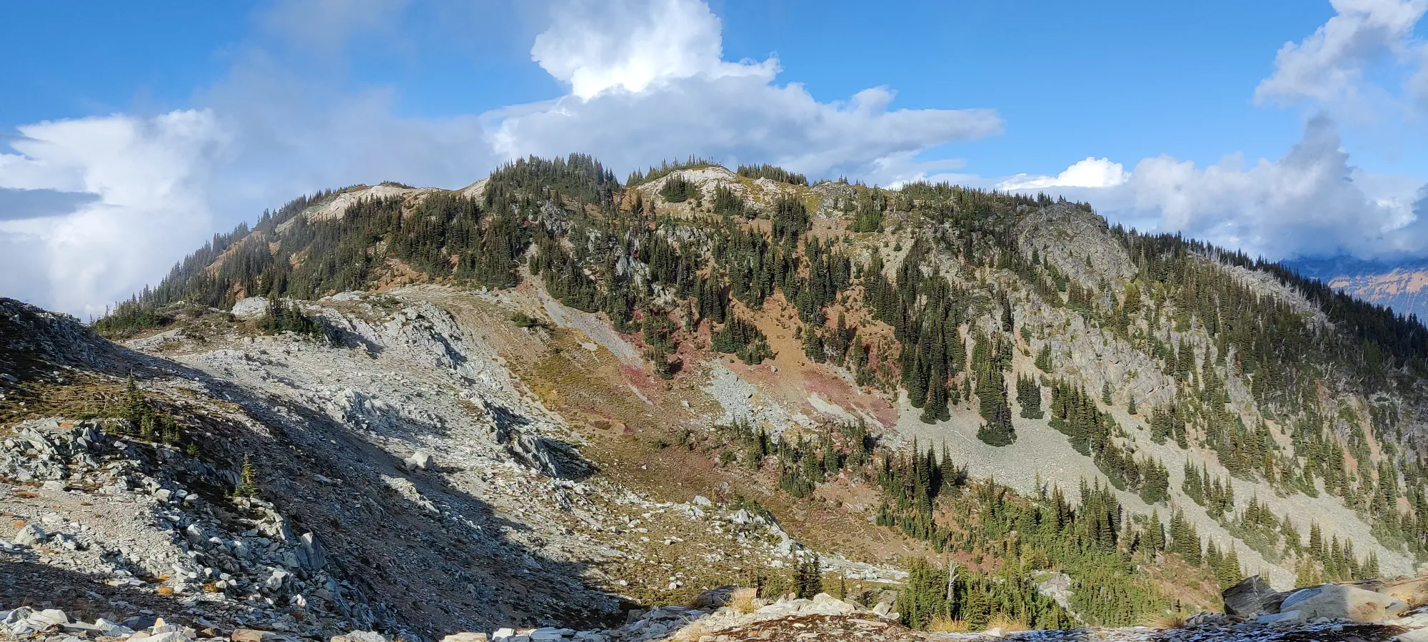
To my surprise, the summit ridge actually seemed to have some sort of trail on it, so that was nice. It was not necessary, though, as the terrain is pretty self-explanatory, and overall pleasant. About 10 minutes in, I got to what seemed like it could be the top, but was instead one of the many bumps along the way.
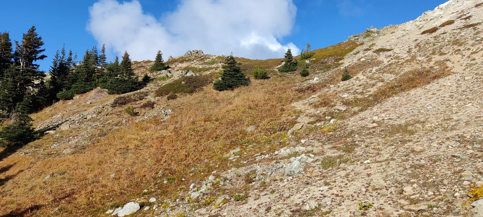
However, another 5-ish minutes of effort more DID bring me to the actual summit, 4.5 hours into the day, or 1.5 from Cinder Cone's summit. My vague turn-around if I wanted to avoid both dark and most of the rain was 3:00, so this was quite fortuitous. I considered having a meal here, but I didn't want to wait to digest, and I still felt energized enough, so I took a 10-minute rest, water, and picture break before heading out.
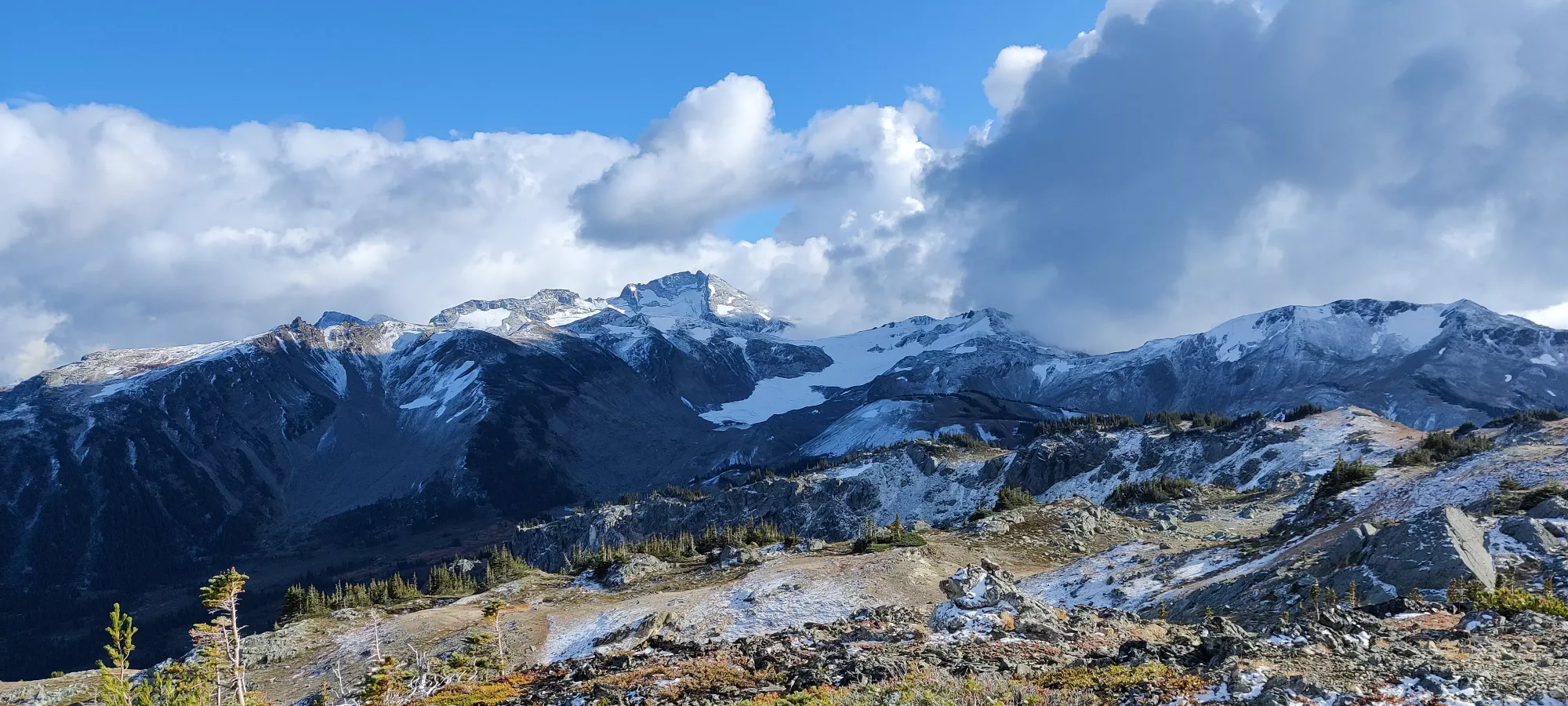
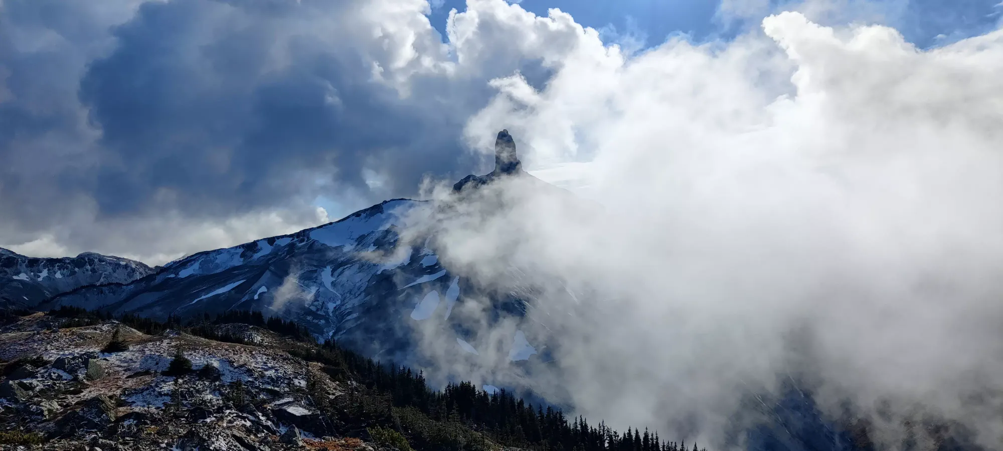
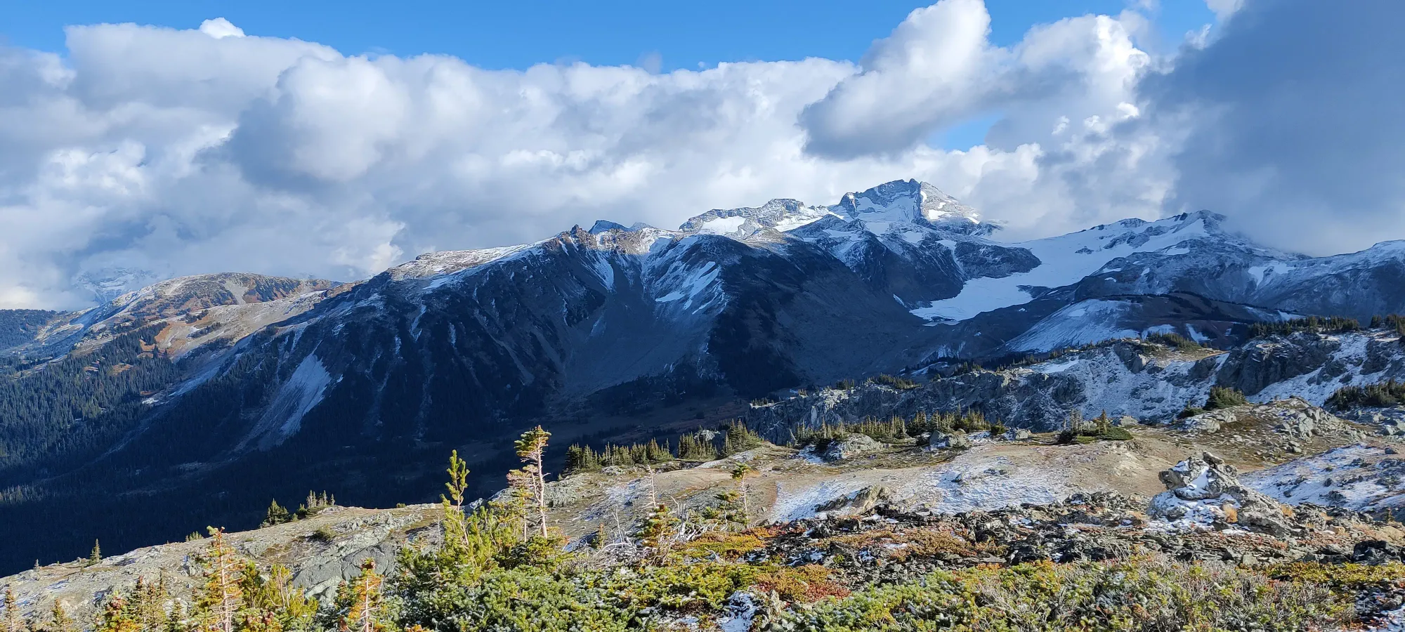
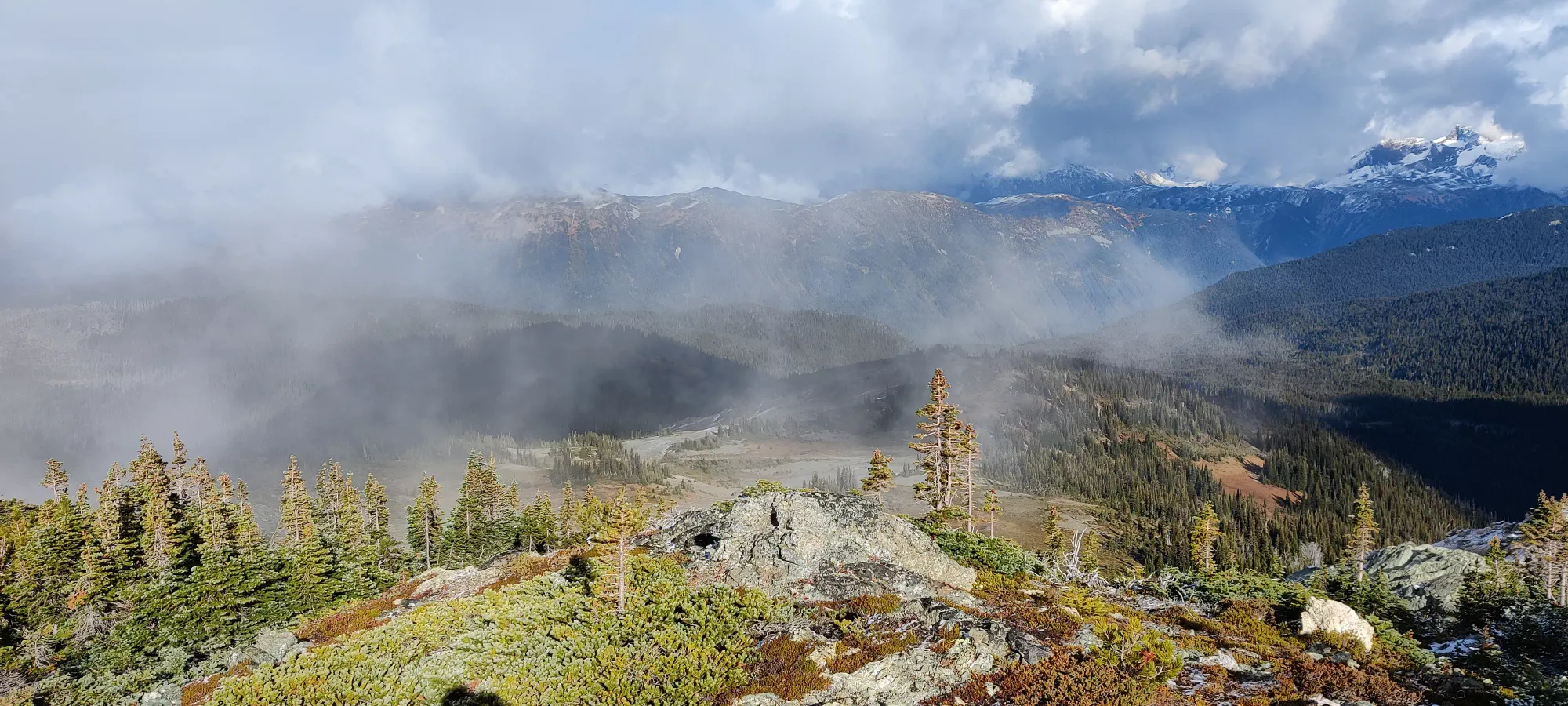
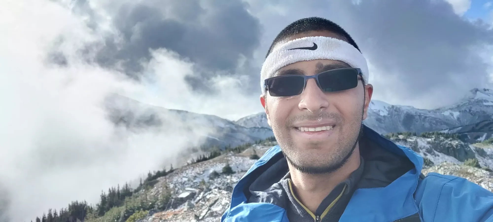
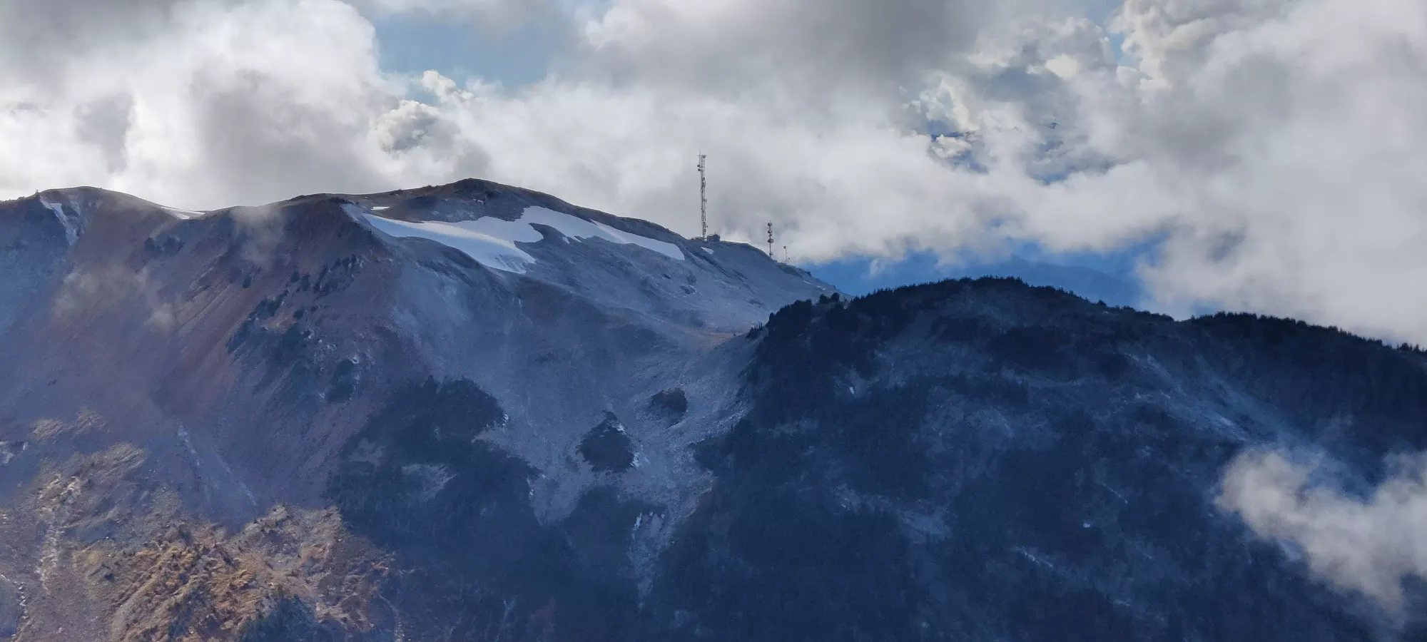
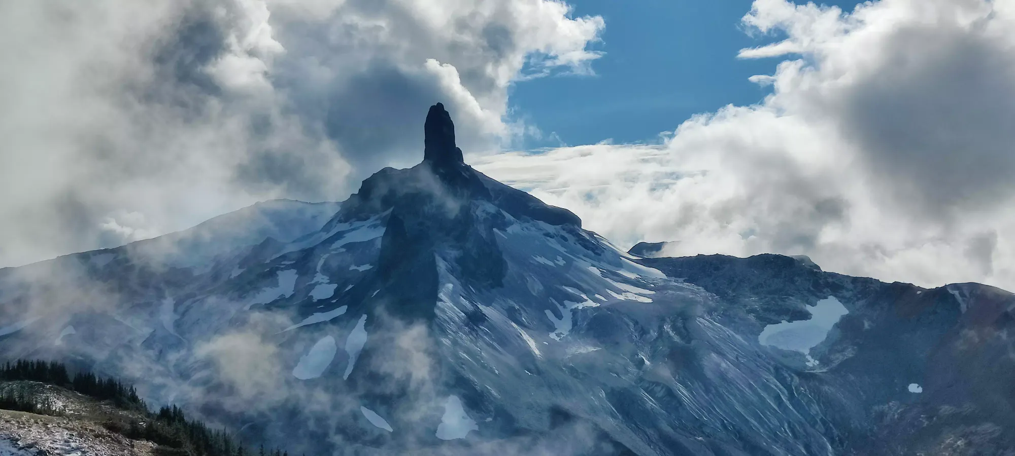
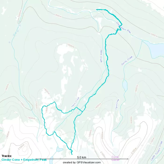
For the descent, I had a rough plan drawn up based on contours, but they're not granular enough, nor do they include the actual terrain (should have also checked satellite images, oh well), so I had to deviate a bit to make it actually work. The first step was getting off the summit area, and onto the more rolling hills below. My crude GPX had me going in a couple straight lines until I was basically parallel latitudinally with the campgrounds, then going right over. I instead went straight north to get out of the only real "scrambling" section of the trip with relative ease, then headed northeast on a line toward a small bump in the middle of the easy hills.
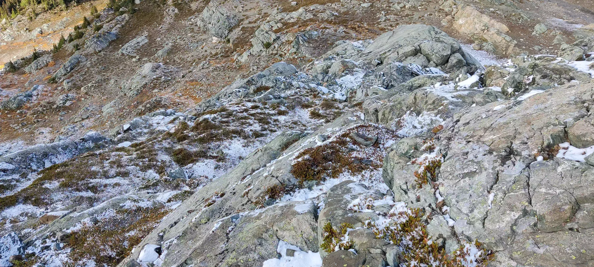
Once I got to that point, I could have followed my GPX and gone over the bump, but that sounded like effort, and looking at the contours in detail, it also seemed steeper. Instead, I went to skier's right which seemed flatter and open for a while longer, and then plunged into the forest. I knew it would be steeper than the previous section, but there was no avoiding that if I wanted to descend before the campgrounds (I very much did, as I didn't know if there'd be a way through the forest beyond them). So, into the forest I went!
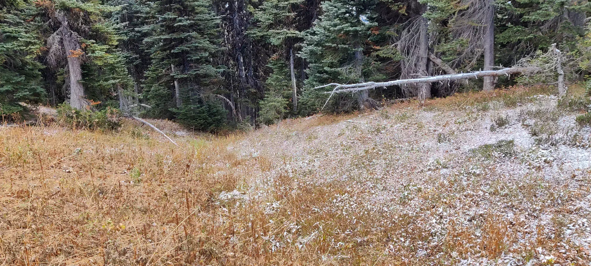
The forest was annoying and tedious, but at least wasn't that dense. I managed to find an old creekbed to follow through it, which meant not a ton of deadfall or bushwhacking, and just "careful footing" to avoid slipping on smooth and potentially wet rocks. This lasted for about 15 minutes, and I was very happy to be greeted by open ground once again on the other side at 3:50pm, thinking I would soon be on-trail, and things would be smooth from then on.
How foolish I was. 1630m was not far off the 1590m elevation mark I'd be regaining the trail at, but it was still 1.6km of walking to get there, and with a couple undulations thrown into the mix.
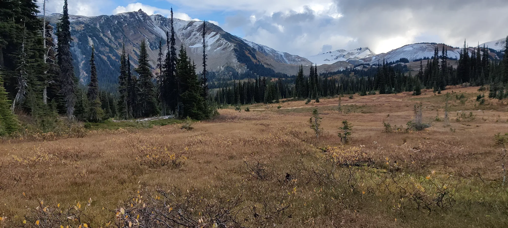
More notably than that, perhaps, was the not-actually-open-fields from that point on. It wasn't sustained forest, at least, but there were now multiple creek crossings and a few forest sections left for me to contend with, along with variably moist ground underfoot. Helm Creek, unsurprisingly, was the worst creek crossing of the bunch, and I actually had to go further downstream (again) than the first point I hit it at, but I managed to get across dry.
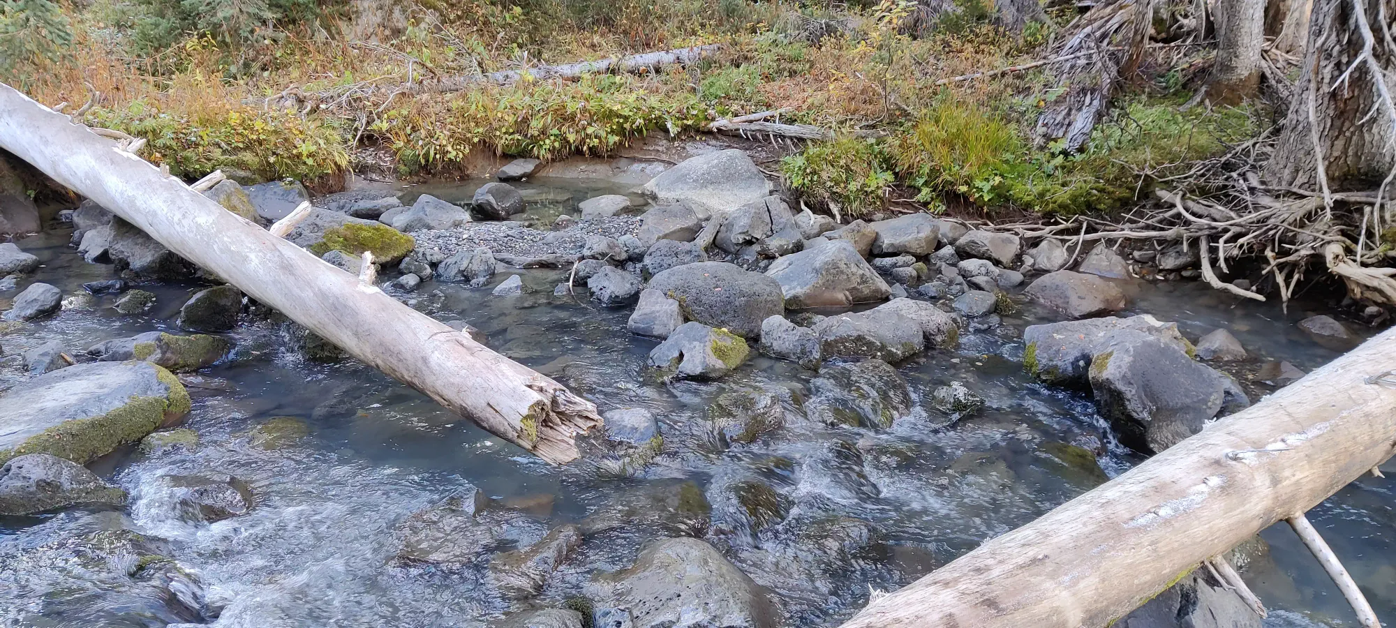
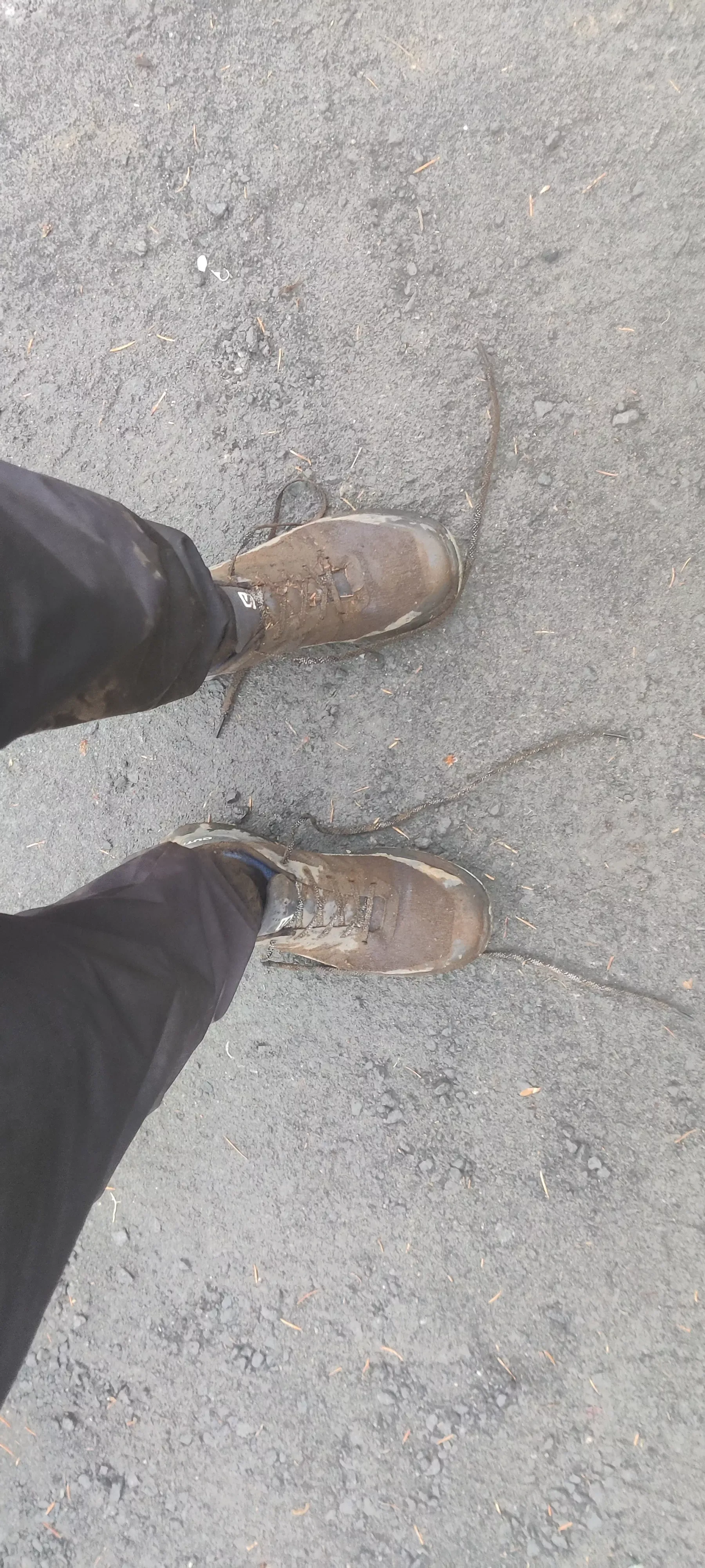
Sadly, the same could not be said for crossing the variably moist ground, as at one point I tread upon some dry-looking moss which was apparently on some very not-dry mud, and got calf-deep on my left foot. That wasn't fun. Thankfully I had long socks, a baselayer, and a softshell pant, so I wasn't seriously uncomfortable, but it was definitely annoying. By the time I got back to the trail, between the bushwhacking, traversing tons of grown-over fields, and the mud, my shoes were disgusting, but I had no hope of trying to empty them out or clean the socks, as that'd probably be a fifteen minute process for mild success after the mud. I just soldiered through, and breathed a large sigh of relief when I hit the trail at about 4:20pm, just a couple minute from the campgrounds.
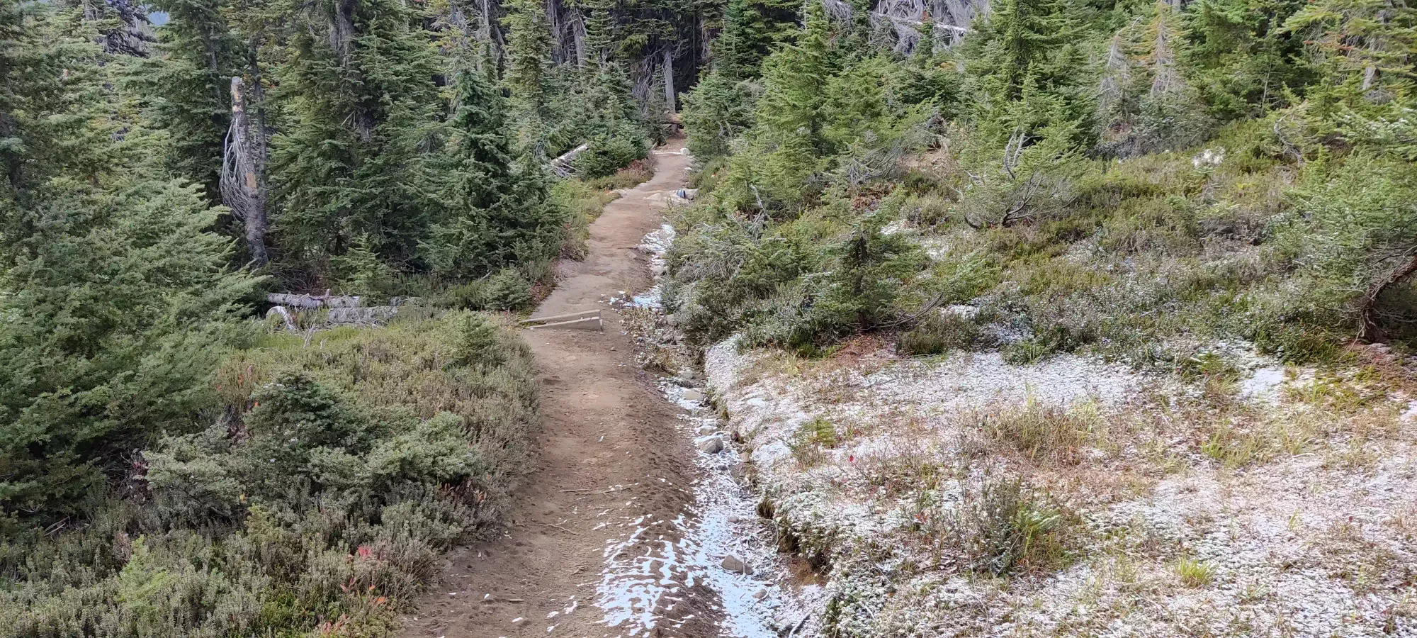
I walked through the campgrounds, in case any of the people camping (2 parties) wanted to chat and give me an excuse to take a load off, but sadly nobody emerged from their tents.
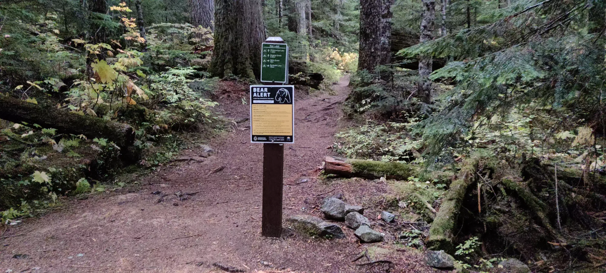
With that, I started my descent proper. With 8.5km to go and only half an hour until 5:00 (when the rain was to have started on every model Windy showed me that morning), I knew a slow, measured walk was not going to cut it. That being said, I also didn't feel like trying to trail run the entire thing, so I just did on-off sections, mainly running the steeper bits and walking the flatter or (scarce) uphill sections. Aside from a break around 2km before the bridge to chat with a guy coming up to aim for Castle Towers (bold choice with the snow rolling in), and another soon after to get the hat out as the drizzle started), I just chugged along, and made the bridge in forty minutes.
After the bridge I slowed down, confident I'd make it with tons of light to spare, and knowing the rain wasn't getting worse and I was already as wet as I'd be (which wasn't much, the rain shell and synthetic pants were plenty for the mild rain we got). Plus, there was an annoying uphill to the main trail, and that trail undulates a good amount before the parking lot, and I just didn't care to jog that without a good reason to. So, I took the last 2km a bit slower, and got to the car in 20 minutes, bringing the total trip to 6:56 C2C. Definitely not a speedrun, but given the routefinding needed, and total distance, not bad either, I think.
Overall I'd recommend this trip, though I might wait for winter. Cinder Cone is much better with snow cover, and you can just ski/glissade down the steeps on Empetrum to make for efficient travel without any loose rocks, mud, or creeks to worry about. Plus it makes future attempts for Helm and Castle Towers less high-pressure since you don't need to try and shoehorn these into either of those attempts.
GPX Track + Map
