Eiffel Peak - September 8 2023
An easy scramble with great views, but difficult access

Bow Range, Lake Louise, Alberta
3077m
Me+Logan drove into Golden on the previous day (well I drove, Logan accompanied), and got in pretty late after getting dinner, getting unpacked, etc. Needing an easier peak to get into things before we started going for bigger stuff, and also weary of recent snowfall (came just a week too late for dry conditions), we decided it was as good a time as any to head to Moraine Lake. Normally, this is to be avoided nowadays as it's full of tourists, and has an 11km road with expensive/scheduling-required shuttles or tedious biking. However, with an accessibility pass, you can still drive in. Say what you will about the morality, but I happen to still have one until October, so we were intending to take advantage of this and get a peak or two in. So, Eiffel fit the bill quite well as around 1200m gain and under 15km.
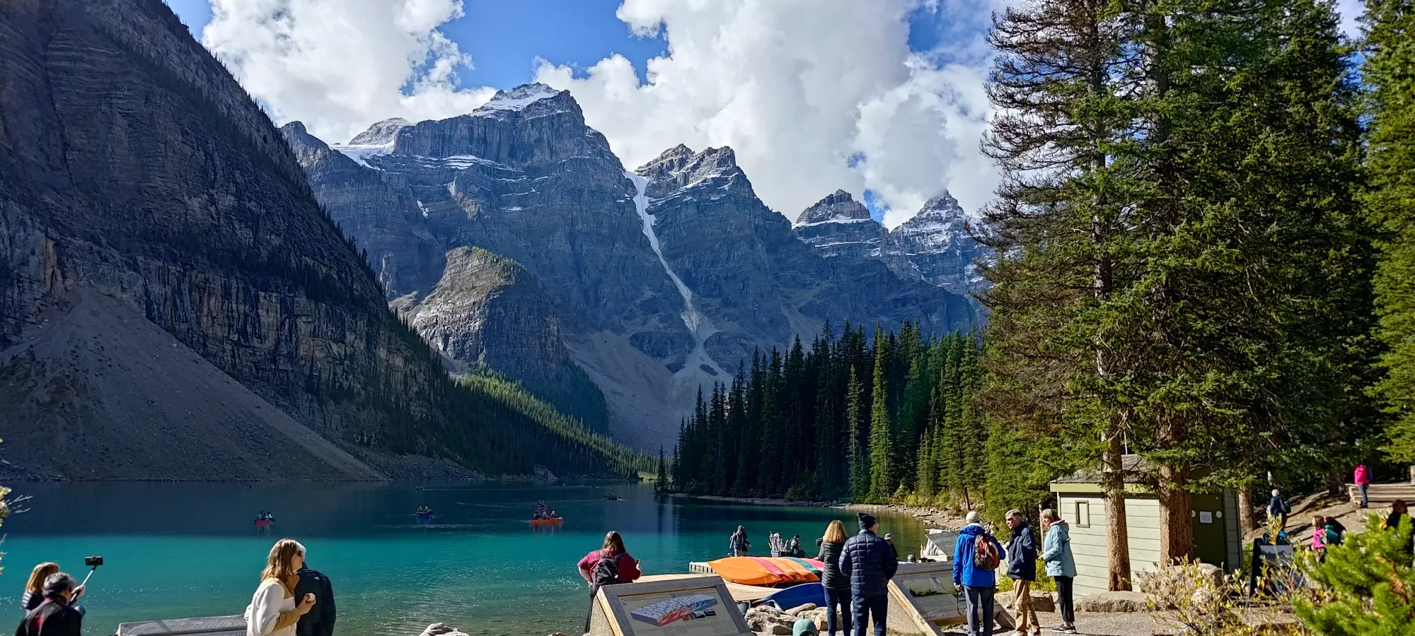
We had no issues getting to the parking w/ our parking tag hanging from the car, and got to the trailhead for around 11am after getting ready. Despite the new access issues, it was still pretty busy, and full of people. We took a quick picture of the lake, and got going.
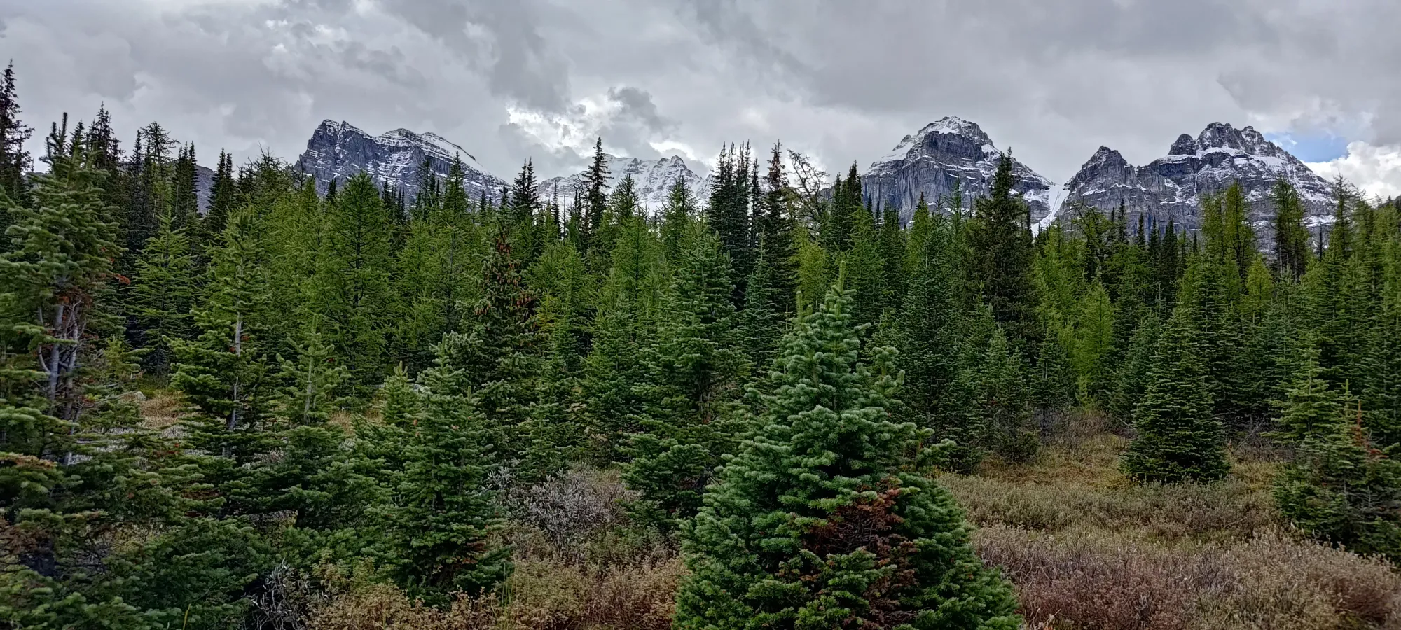
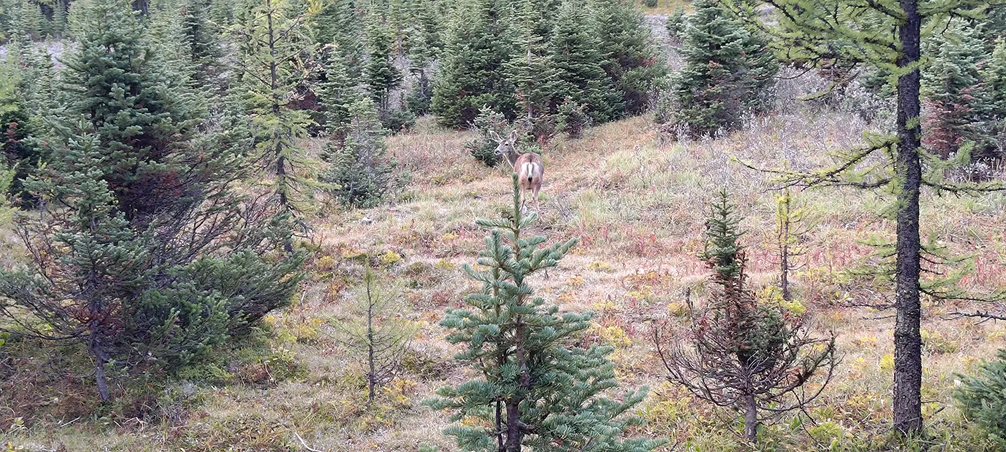
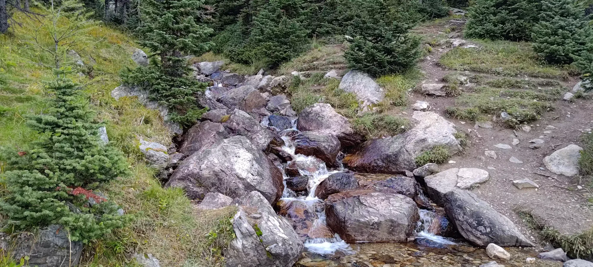
The trail up to the Larch Valley, where the trail splits from the Mount Temple trail, is quite efficient. I remember when we did Temple being very pleased with our progress, and this felt the same, as we passed many groups while churning out the elevation. Along the way, we stopped at the typical valley viewpoint, once where there was a deer hanging about, and otherwise just ground it out to our first rest stop at 2435m, where there were some nice rocks on the open ridge before the scree started.

We met a woman coming down as we took our break, who gave us some useful beta on who was up there (one lone dude and a group of 3), and let us know the snow wasn't going to be a problem, which was a relief. We were pretty happy with our pace, gaining around 560m in about 70 minutes, so we allowed ourselves about 15 minutes to snack and chat before heading up.
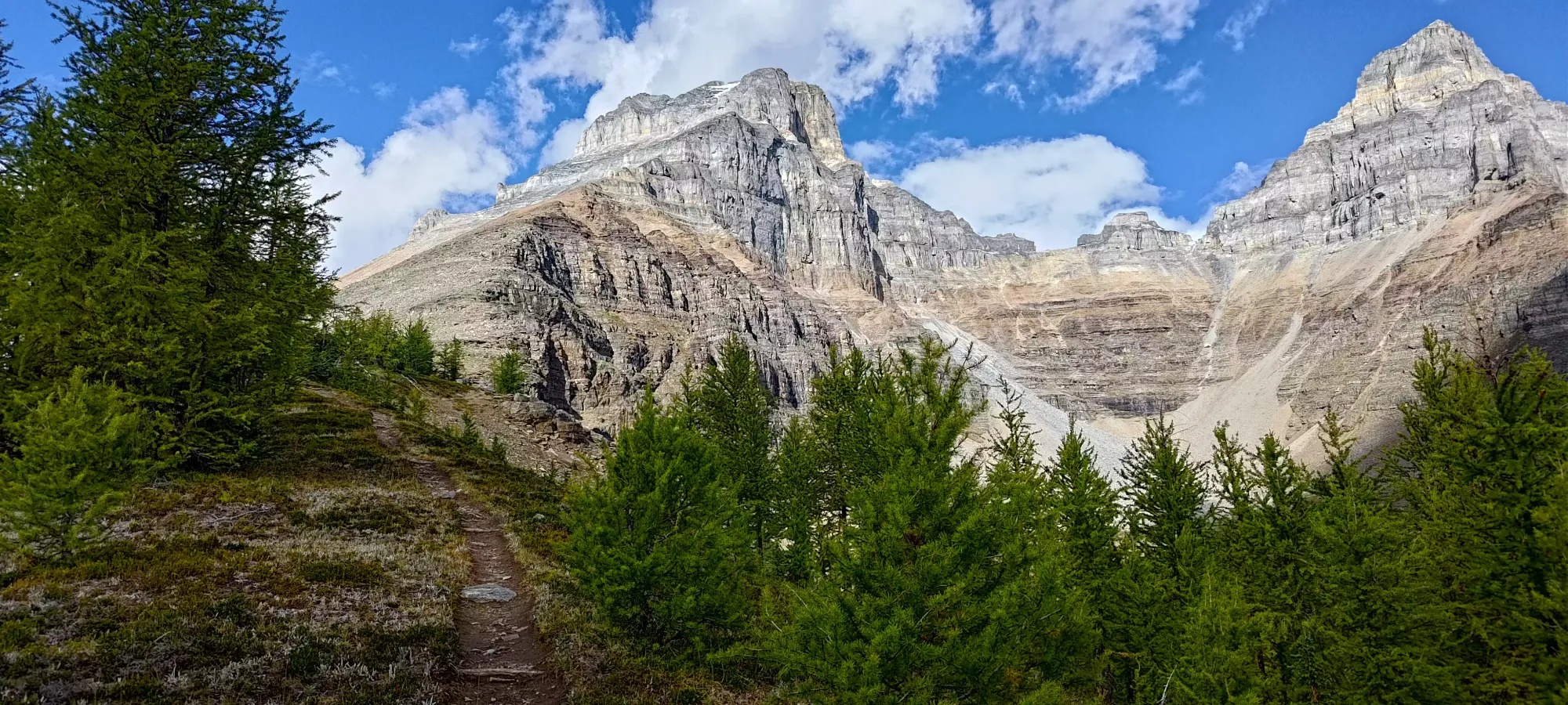
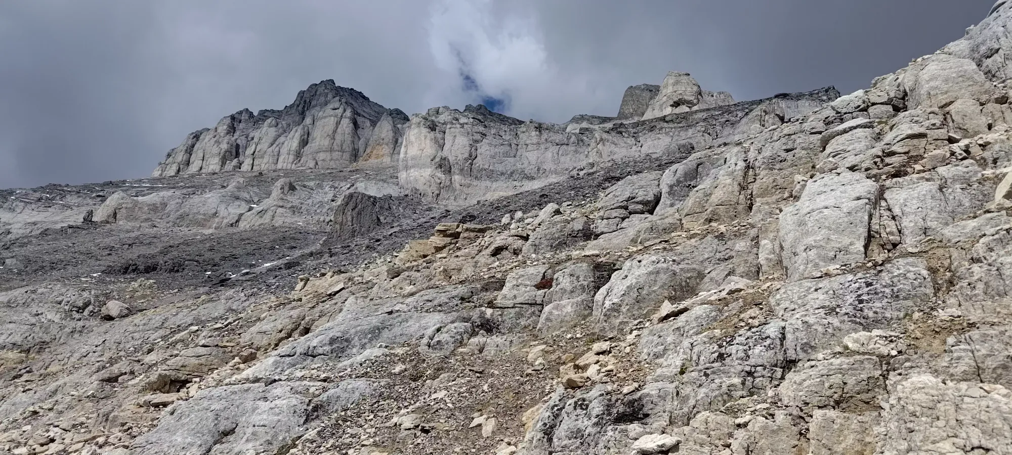
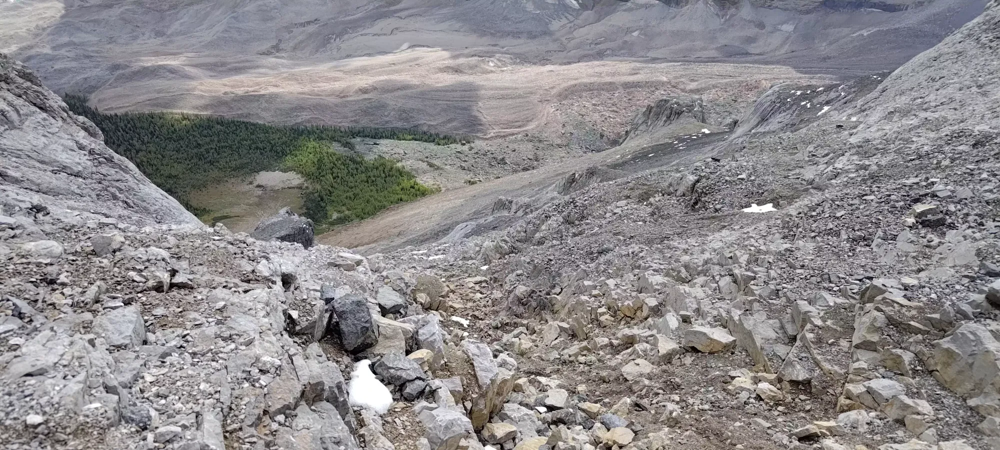
Once we started up, it was a short scree path, though broken in enough to be quite stable. That quickly started going through a talus field. That was pretty stable, and there was also a well-enough-beaten path through the talus that it was largely dirt, and pretty easy walking. We had a couple spots where we could find extracurricular scrambling, but only a little class 2, mostly just steep walking.
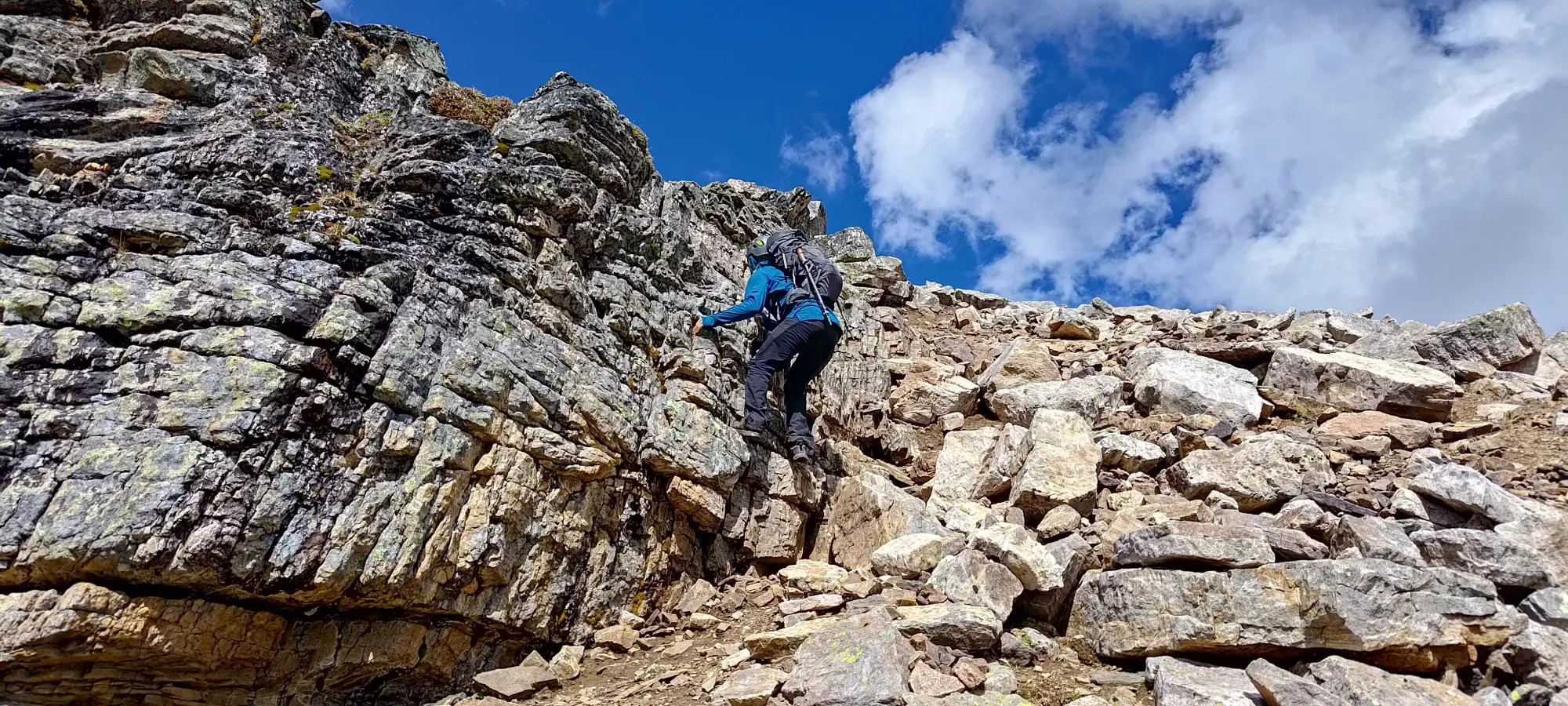
We took a second break at about 2630m, where we found the group of 3 coming down. They didn't get to the top, being scared off by the scrambling, but we heard it was all class 2, so we weren't too worried. We were, however, happy that only 1 person was left above us, as there was an abundance of rock to rain down if anyone wished to make that so, as per usual in the Rockies.
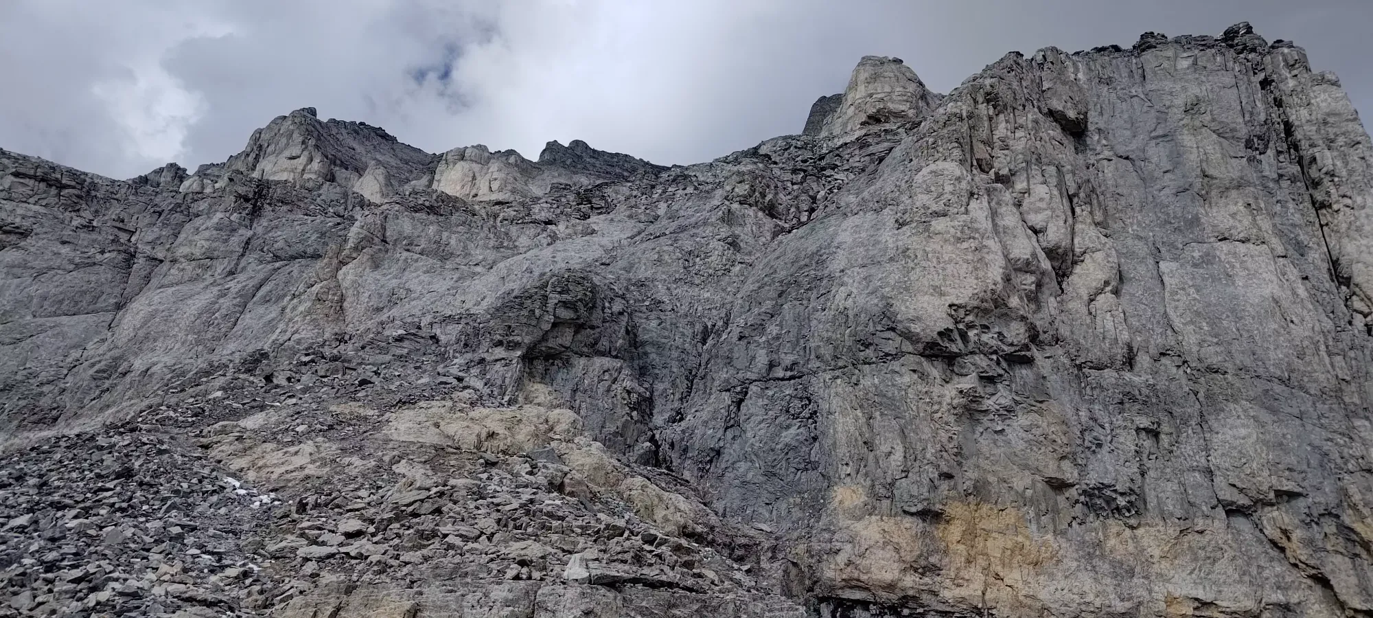
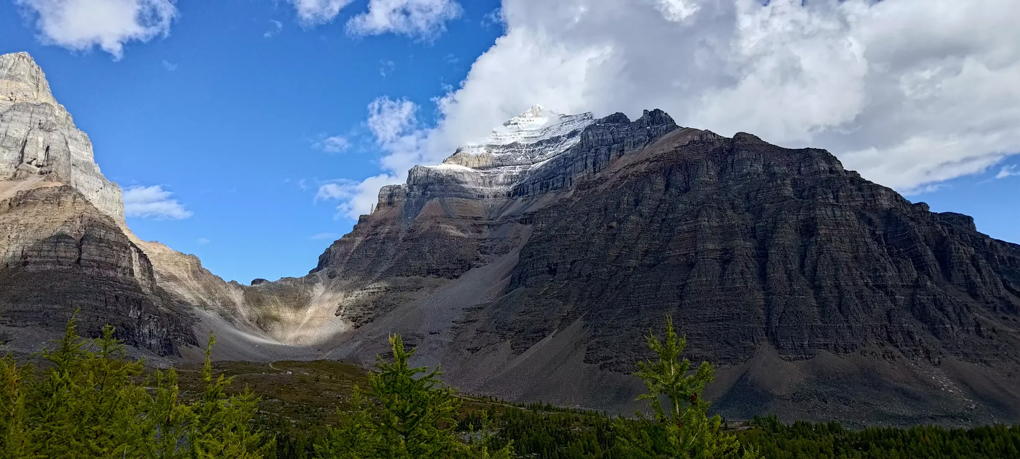
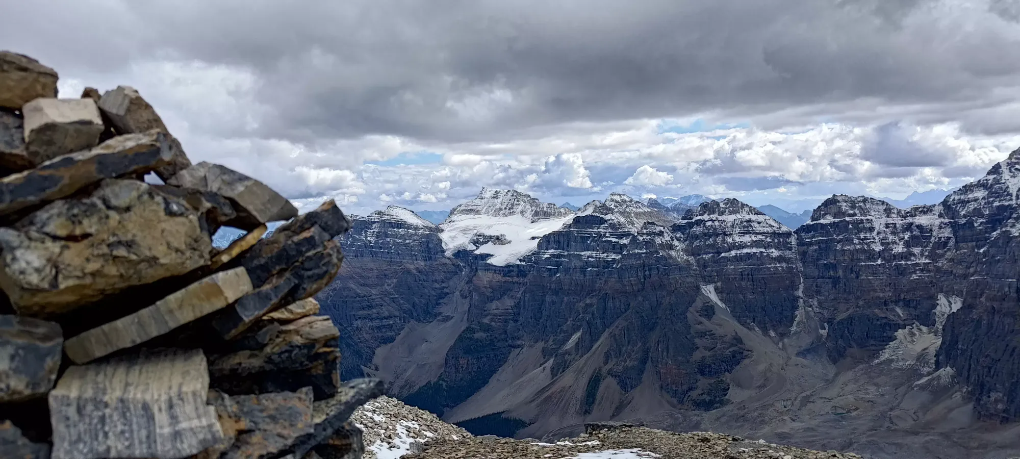
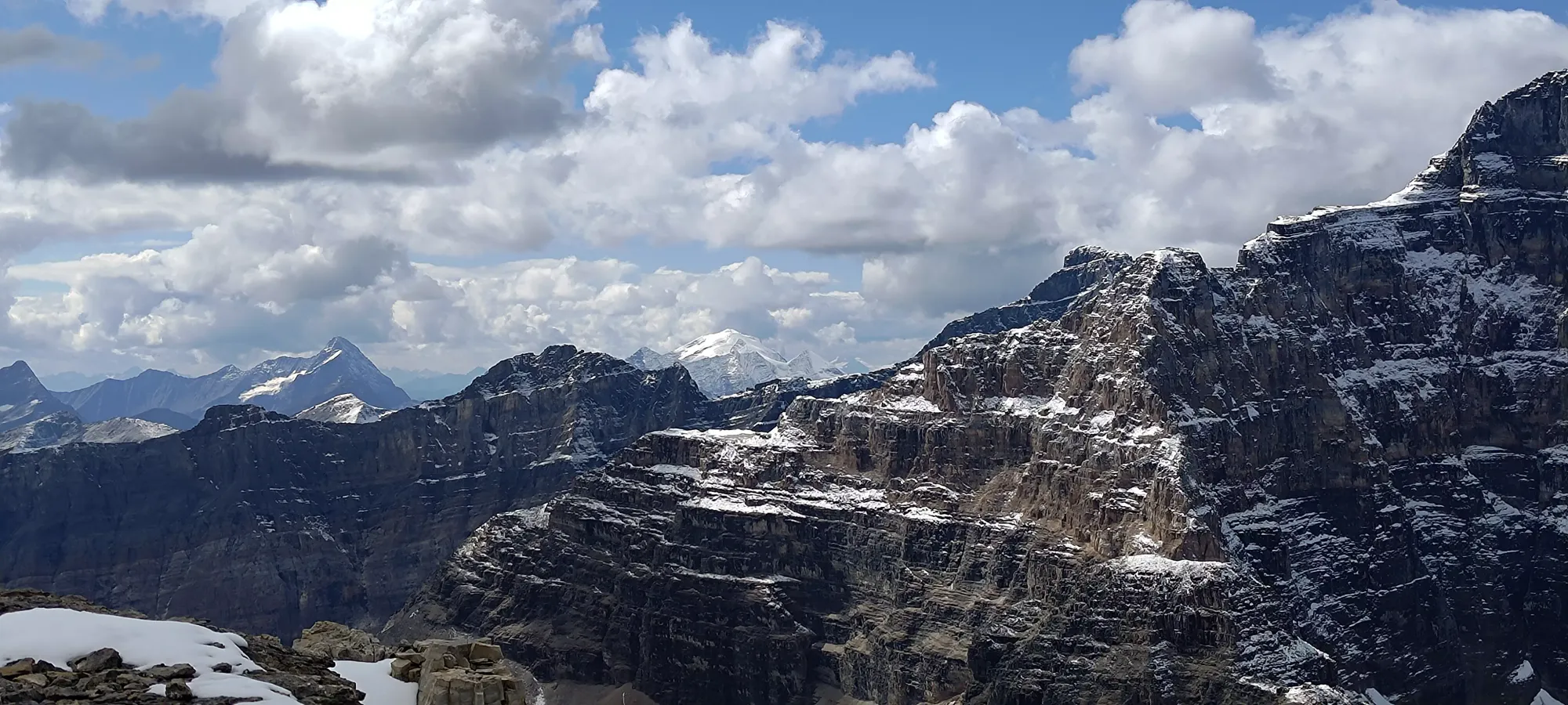
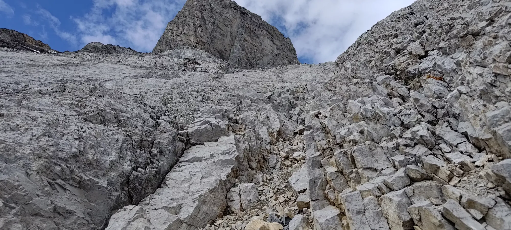
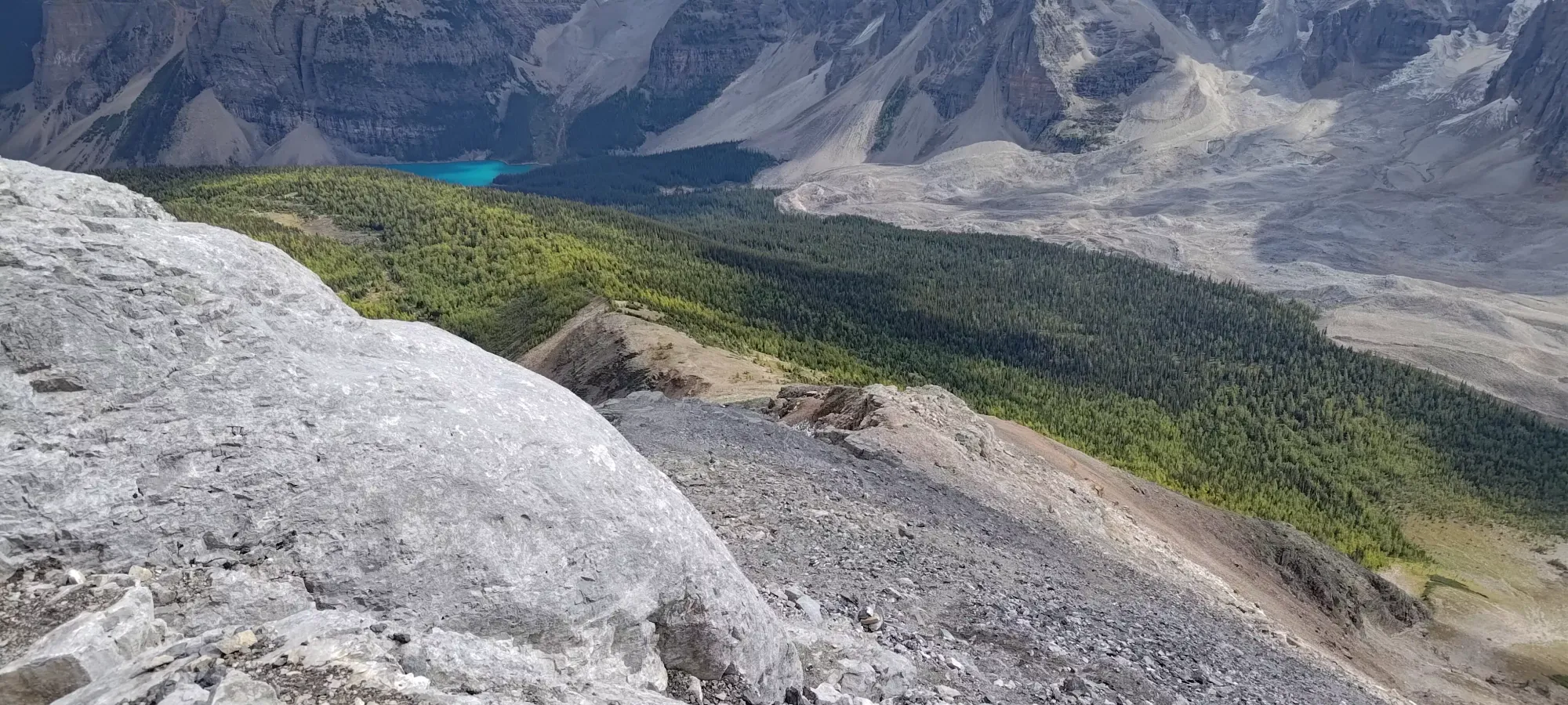
We intended to take another break at 2800m (also around where snow patches started existing in sizes large enough to actually impact walking, although despite a few slippery spots they were not a big deal), but soon after starting up a gully, we encountered the last party on the mountain other than ourselves. They were descending with a good amount of rocks being dislodged, so we asked them to wait and let us scramble out to let them pass. That worked like a charm, and since we had a few minutes of rest, we decided to just top the gully out to break, and ended up doing so a bit over 2900m instead. We had our mini-lunches here, and enjoyed some nice views.


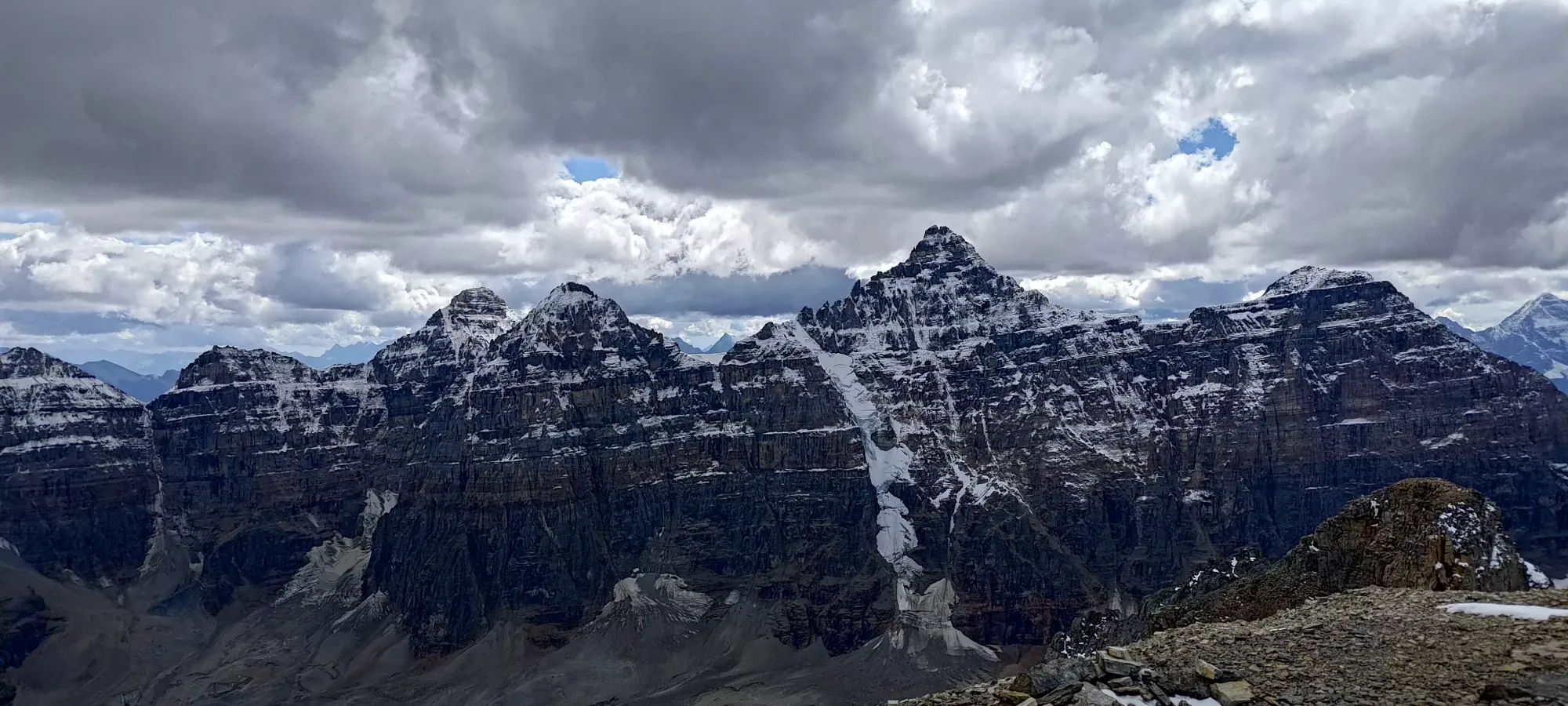
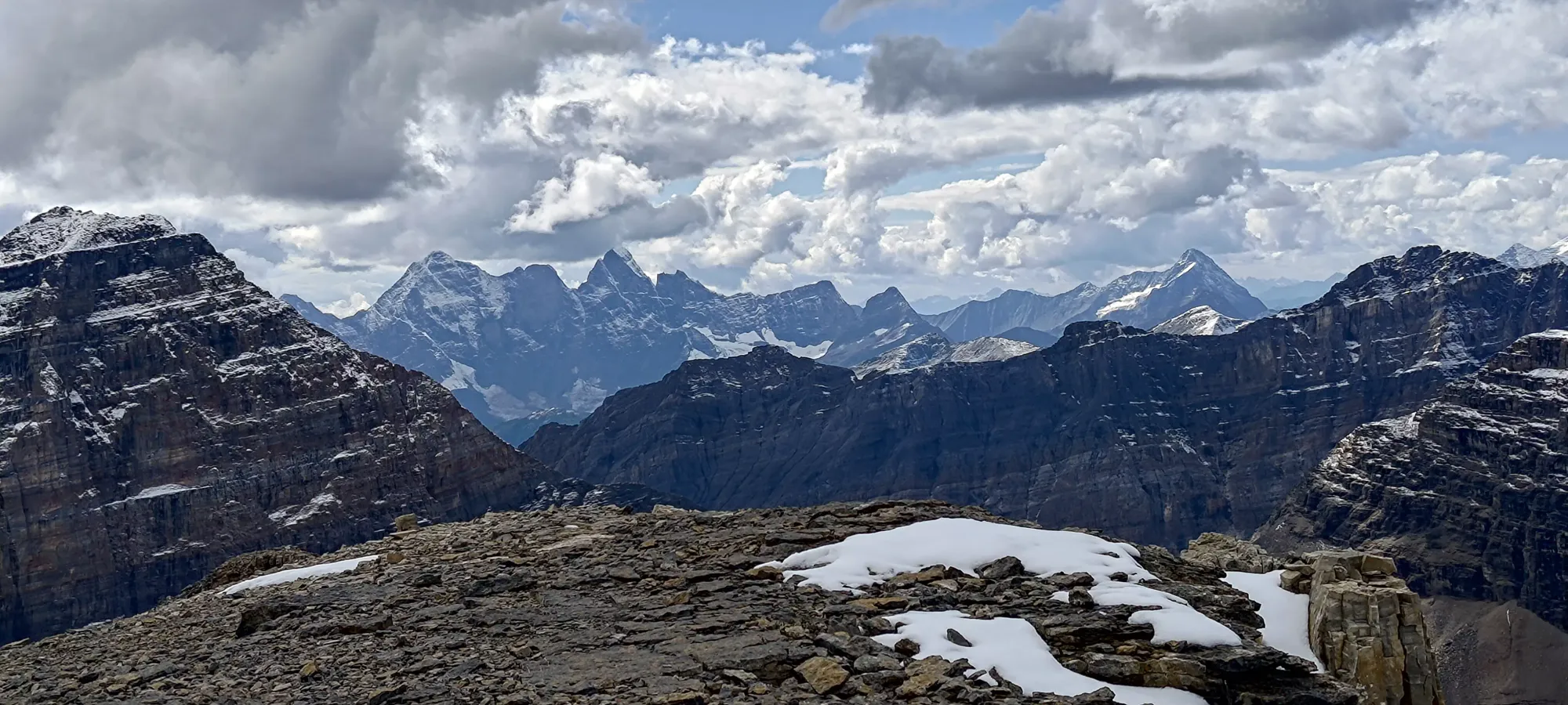
Here, we put our layers on (just a fleece for me, and a harder shell for Logan), as the breeze was pretty cool when the sun dipped behind the clouds, especially if sitting down for 20 minutes. Once we got moving again, though, it was pretty easy to stay warm, and we churned out the last terrain to the summit. I'd barely call this a scramble to be honest, it's mostly just steep walking, with a couple moves with hands in the gully, and on a few ledges. The snow making some of the paths a bit slippery, or melting onto the good rocks was a bigger challenge.
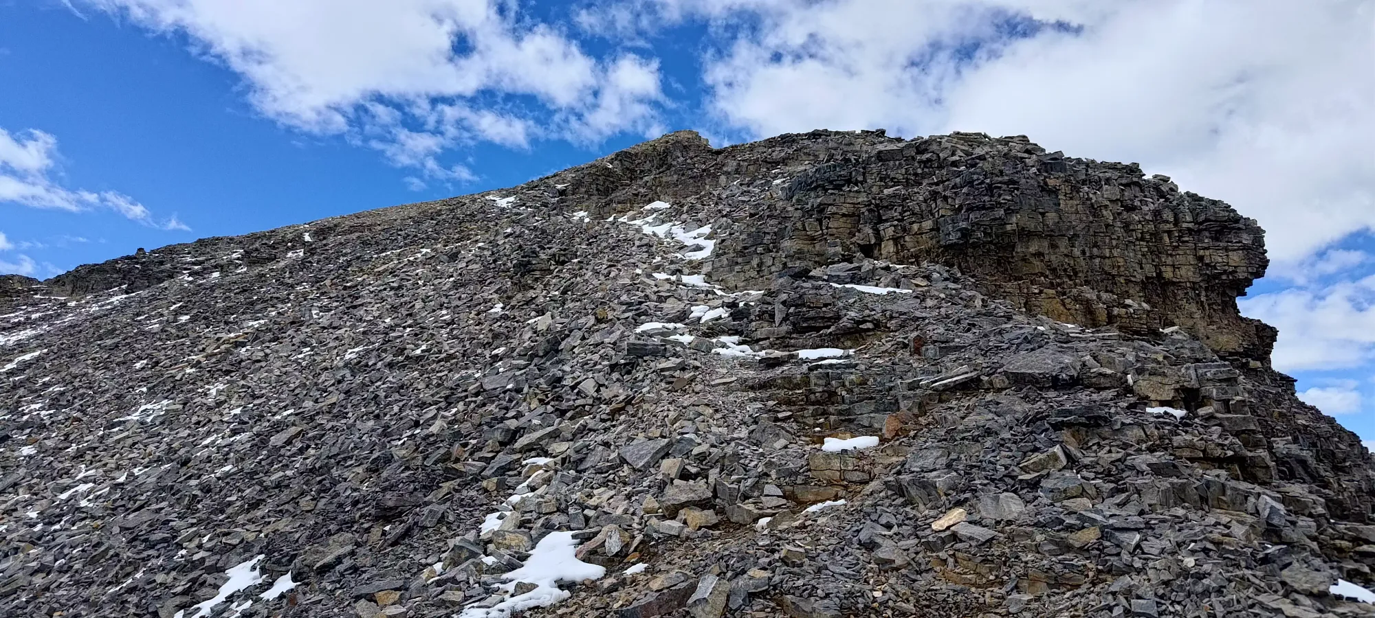
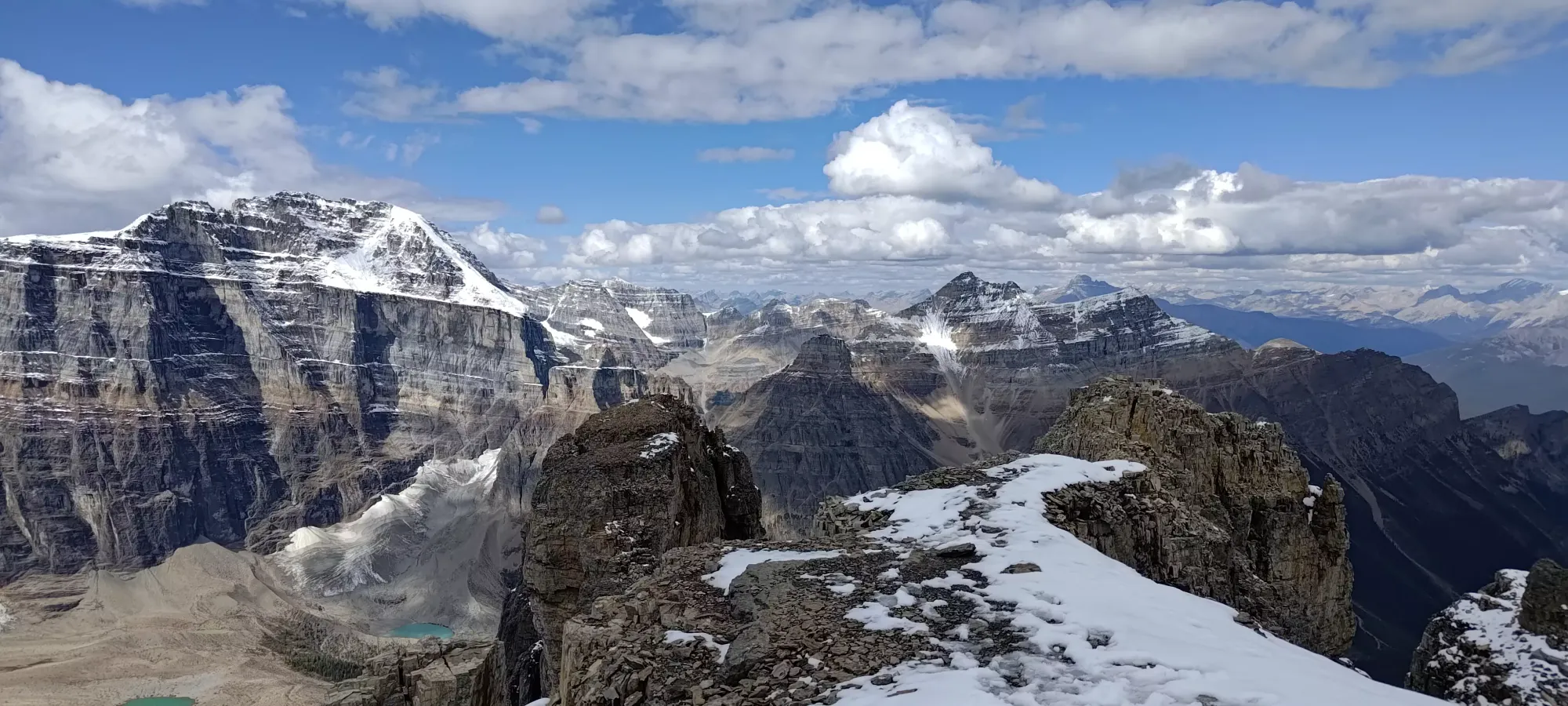
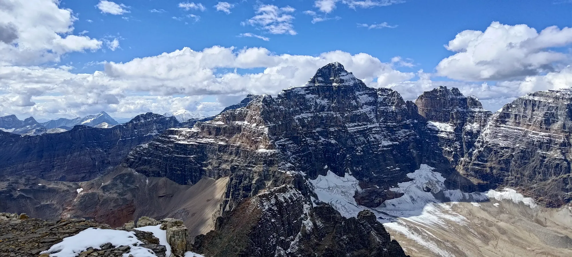
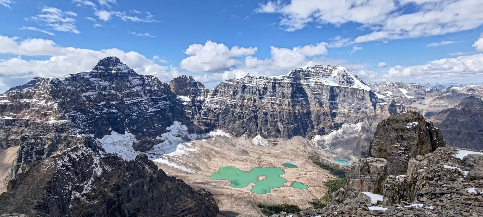
We summited in just about 3 hours and 15 minutes, gaining 1200m in the process. We were pretty happy with that result, especially since we had lunch before the top. It's been a while since we had just "a fast, efficient summit", so that was a fresh change of pace. We soaked up views for 20 minutes and started down after that.


The descent was pretty uneventful to be honest, we didn't have to do much of any downclimbing; the biggest crux was just "not hucking rocks down at each other", which thankfully went very well. We didn't stop for much on the descent, and got out in just over 2 hours from the top, without running or anything, just taking it easy. We considered adding Tower of Babel, but instead decided that a warm dinner and timely arrival at home were more worthwhile.
This is a short but sweet peak, and a convenient way to get an above-3000m peak for not much of an investment. Just bring a helmet, and you should be ready for an efficient if non-technical grind to the top.
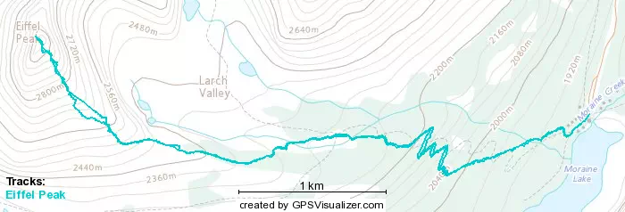
GPX Track + Map