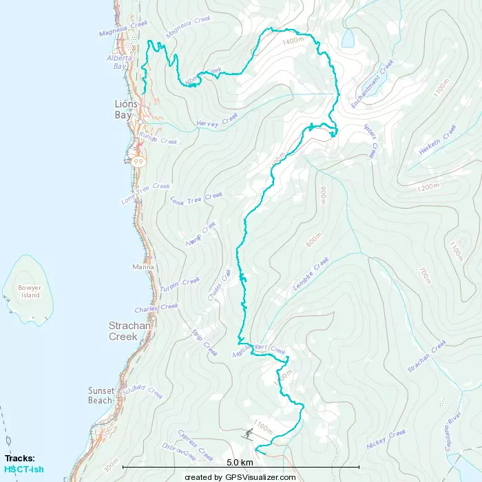
East Lion - September 3 2022
The sixth stop on my attempt of a modified HSCT
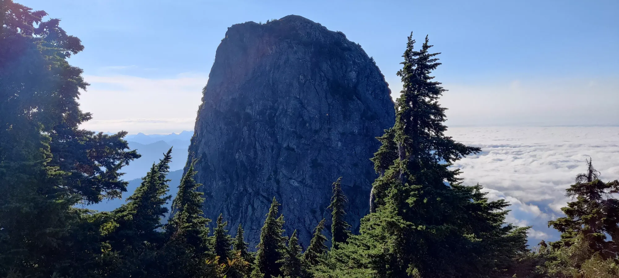
North Vancouver Area, Lion's Bay, BC
1606m
This is the sixth summit of my modified Howe Sound Crest Trail (HSCT) attempt, and this report picks up after Thomas Peak. Once we summited Thomas Peak, we took a turn down a grassy slope, and after a little while, that turned into a rocky slope. Here, Sean (my partner for this peak who I met on West Lion) ditched his pack, and we entered a boulder field. We descended along this field (the path of Sisters Creek when it is running) until we got across the north side of the mountain, and went up it on the east side until we were a good ways south of the peak, and at the base of the wall making up the summit block.
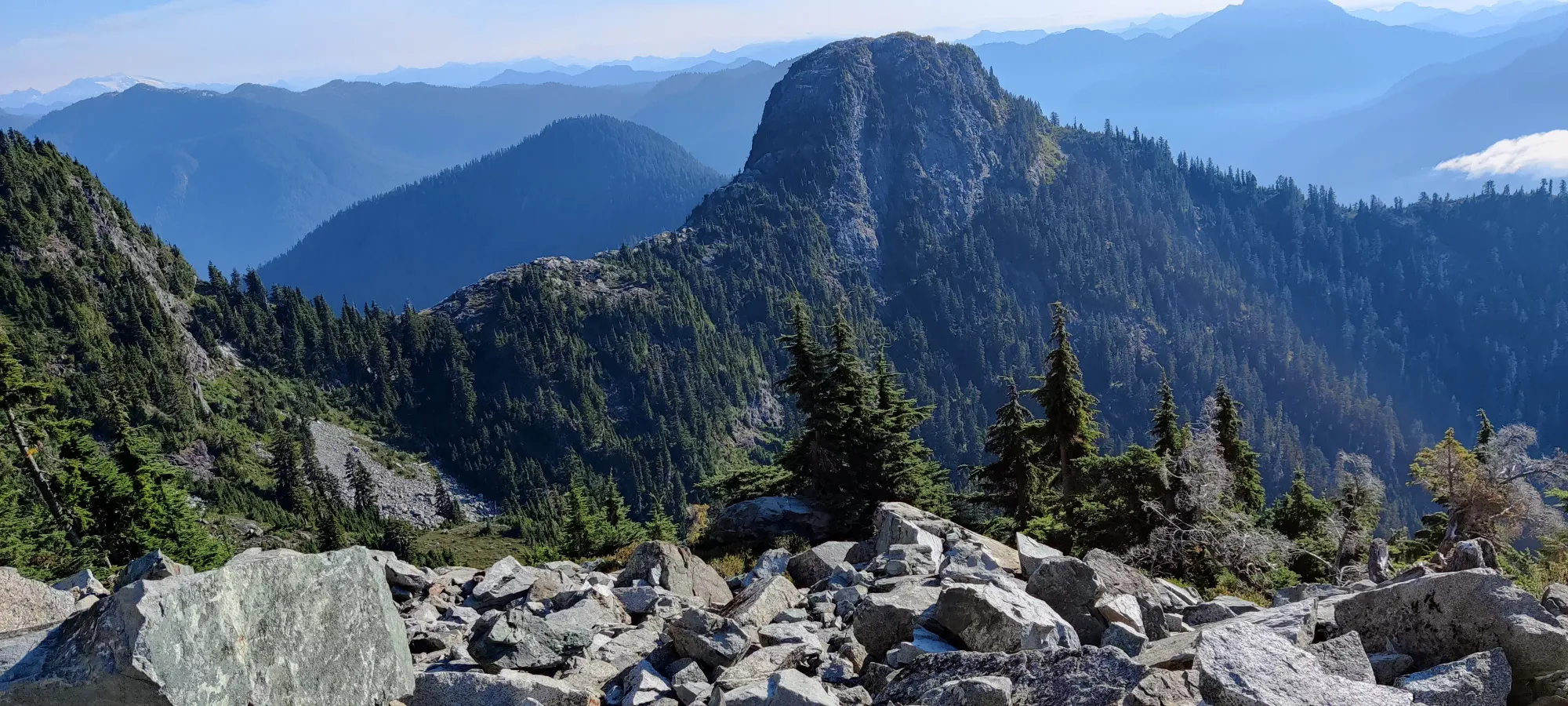
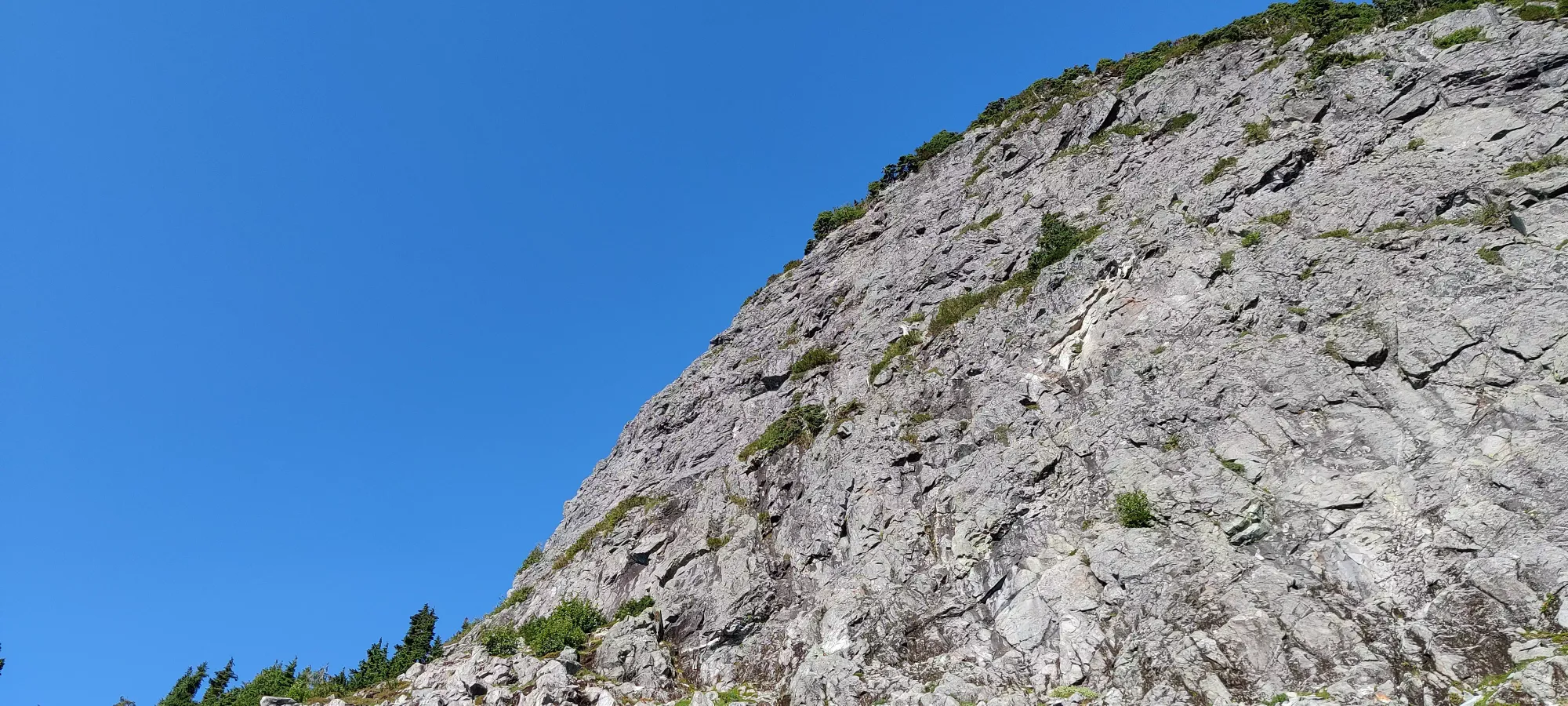
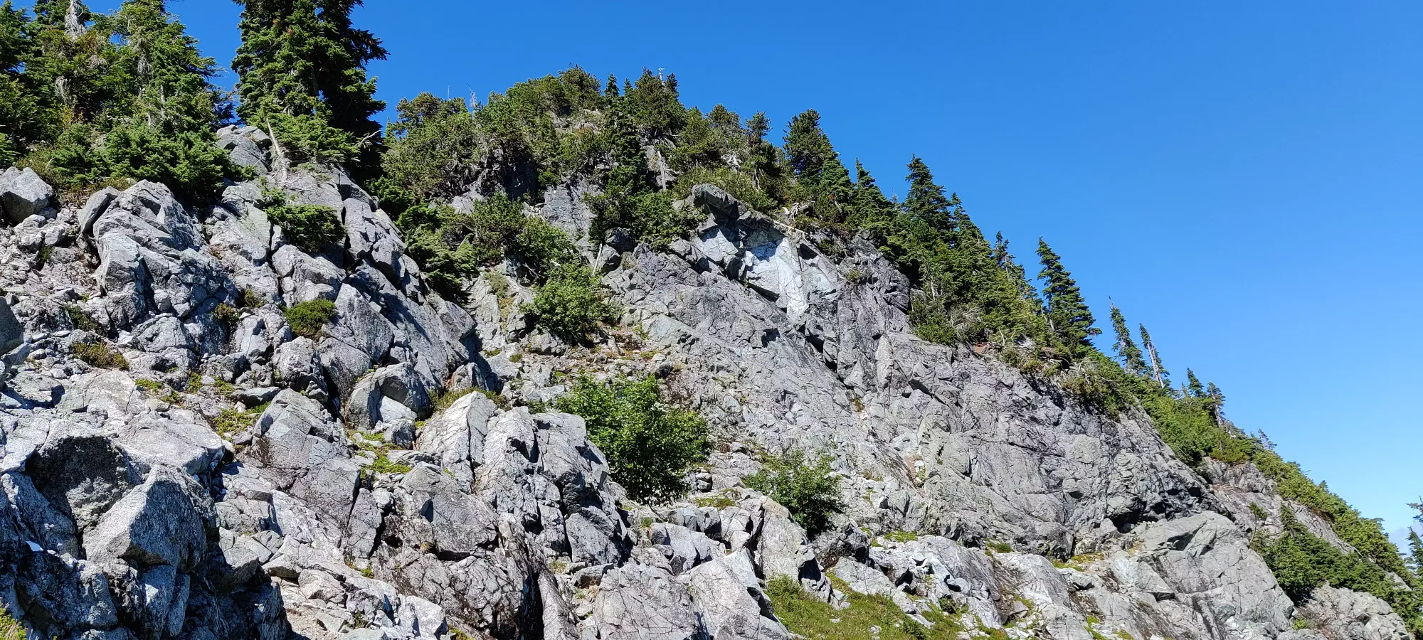
The climb up to the summit took the next hour and ten minutes, and was... "interesting" to say the least. We first traversed across a good deal of the face, more or less until we got "in line" with the peak from a latitudinal perspective. This was class 3/4, as there were spots with full exposure, but also a few ledges here and there that minimized exposure. At the very least, it was mostly sideways traversing or forwards-facing, with no need to swing your weight over the air at any time. Once we had enough of going across and up, we had to get up from a ledge we were positioned on. Sean went climber's right, bushwhacking up some treed slopes and relying on a lot of root/branch holds for purchase. I decided to go across the ledge back south and up a small ledge path, which had a thin cord fixed at the top around a tree. This was fine, until I got to the top of the cord, where the trees got super thick. Somehow, I managed to get through without catching on my poles.
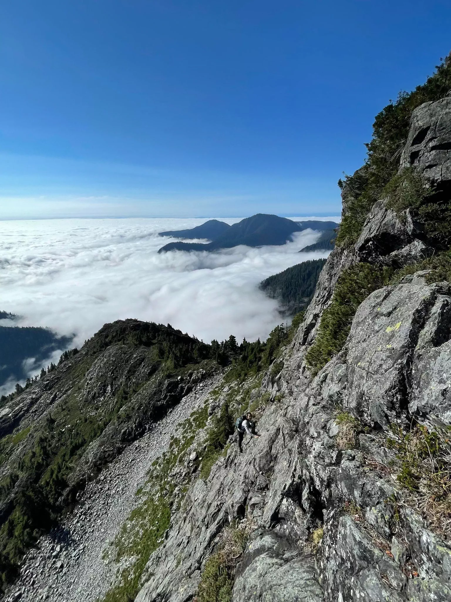
Sadly, my success was short-lived. From where I was, there was no obvious way up to rejoin Sean on his GPX path. I continued up and slightly to climber's left, with mostly rock instead of trees, at least. Some of these holds were quite dirty, though, so I had to wipe off the dirt before exposing the rock below. There were a couple dozen more metres of elevation gained class 4 scrambling up this sort of terrain, until I got to the crux of my route. There was a traverse up to climber's left once more, which would top out at a part where I could see decent rock and the slope angle starting to ease, but to get there I had to go through a really sketchy part with few holds, and only trees to get you up before you could try and top the ledge out.
I found a place to get my right hand up a rock sticking out below the ledge to climber's right just beside the tree, and pulled myself up toward it. But to top that out, I had to use the tree to the left to pull myself up, then get a foot on a downsloping rock to get some friction, and I could try and get my hands above to get on the ledge. This was... not fun or easy. I had to hang from my hands just holding the branches/roots of this tree and flail for a bit to get a foot situated enough to get one hand over to the ledge, and then I managed to scramble out of harm's way. This was definitely not a good way up, and I don't recommend it. I felt safe enough to know I wouldn't fall (otherwise I'd not have done it), but I didn't feel 100% confident I'd find the holds I needed to get up and not have to bail. 10/10 do not recommend.
After I got on that ledge, it was more class 3/4 scrambling, then a short walk on a half-beaten ledge path to the summit, where we breathed sighs of relief and took some pictures. The inversion and full-sun, along with the intense scramble made the last hour quite hot, so I was glad to have my water with me, unlike Sean who left his pack behind shortly after Thomas Peak. It was 10:30 by the time we summited, just under 10 hours into my hike, and without any sleep since Friday Morning, I was definitely starting to feel it.
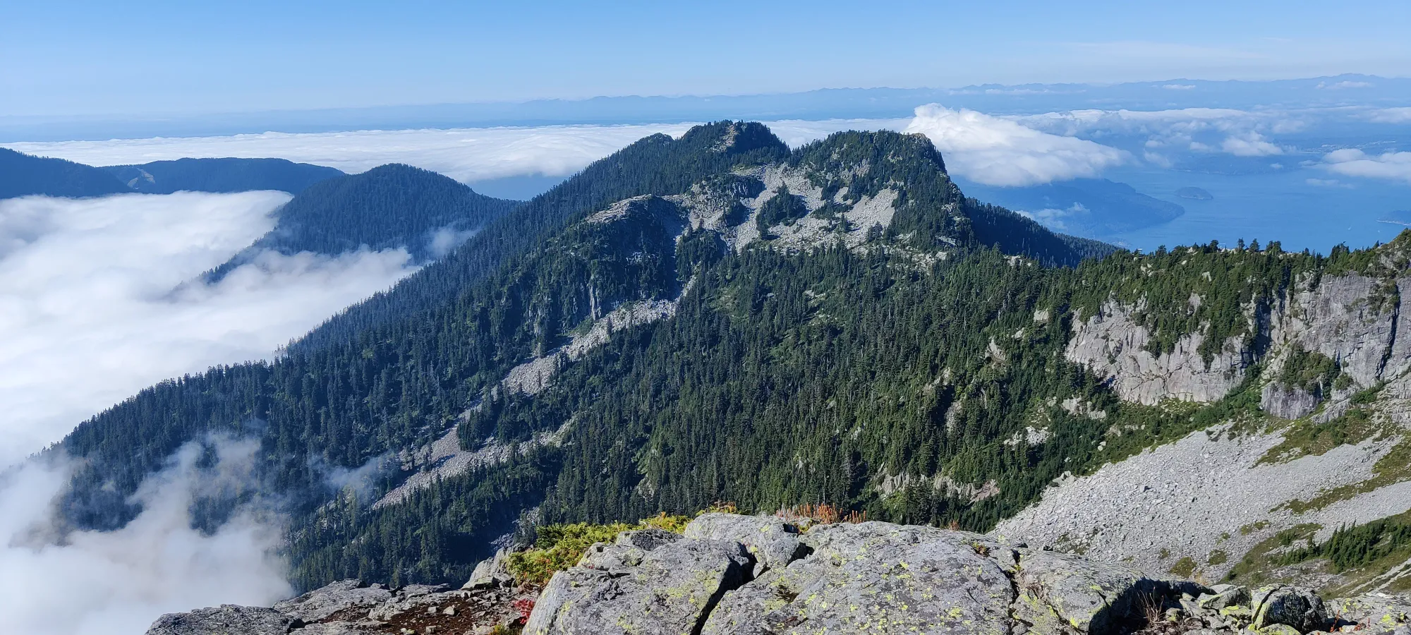
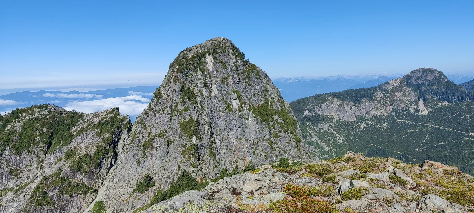
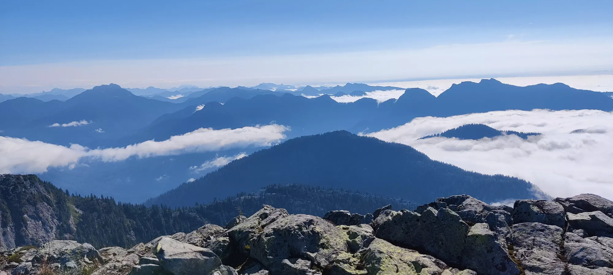
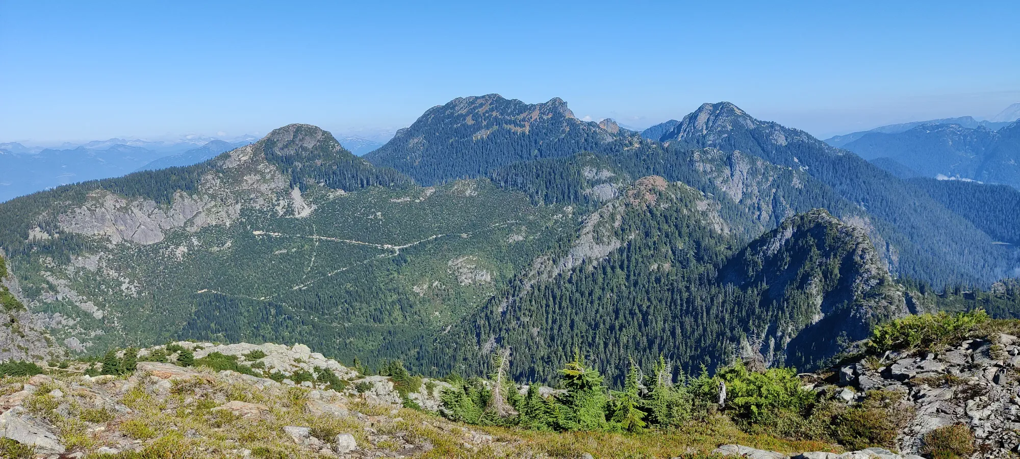
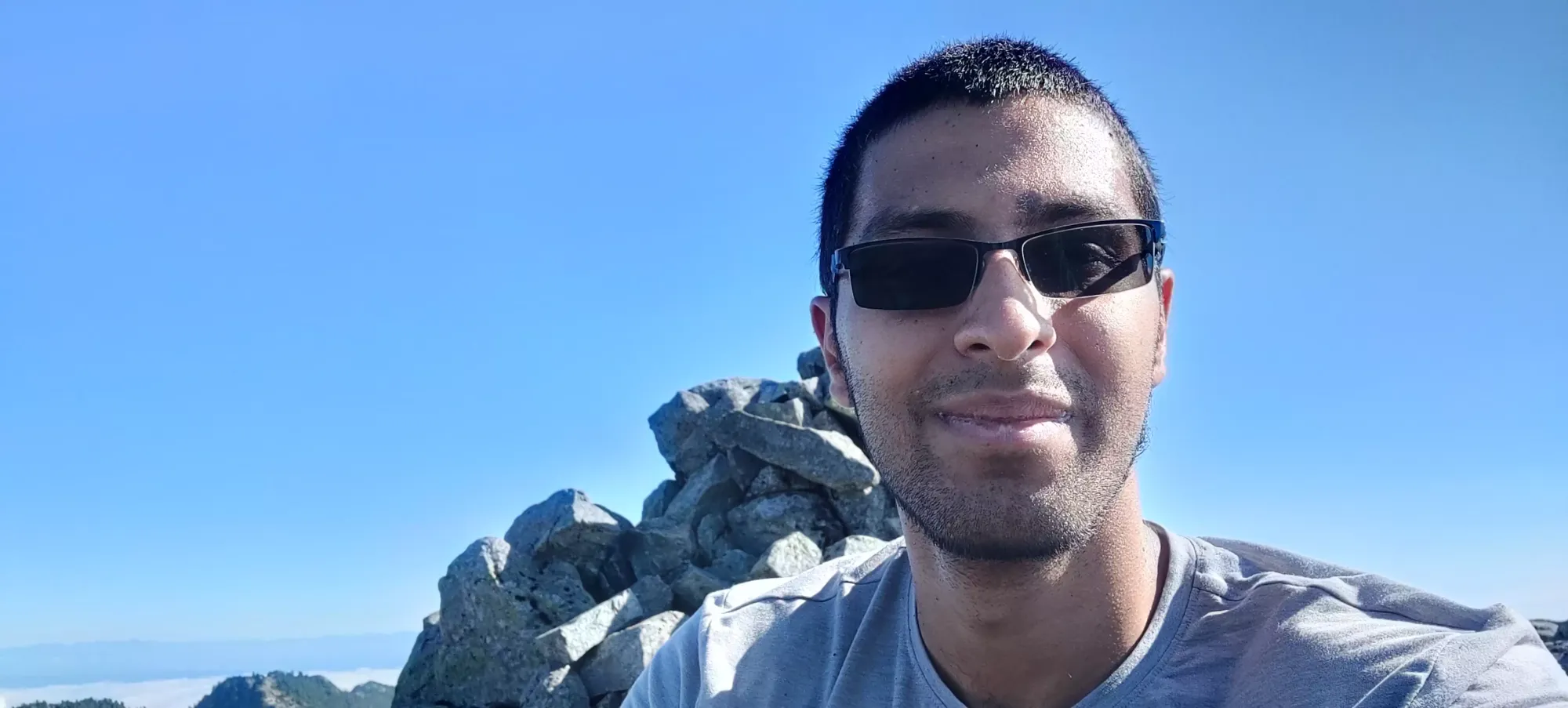
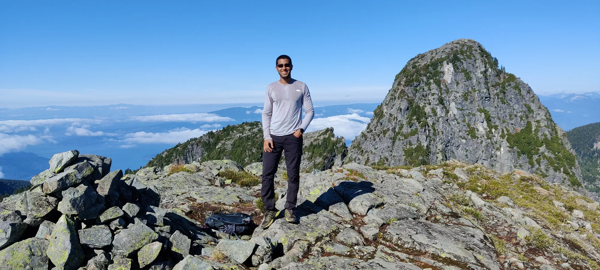
The descent was also quite interesting. We decided to go down Sean's route since mine was definitely not a downclimb you'd want to try. It was pretty reasonable for the first 1/3 or so, but quickly got into VERY thick bushwhacking. As in stepping down meant stepping into dozens of branches and not actually the ground, constant pole-snagging off my pack, etc. But, it wasn't massively exposed, and it was almost impossible to fall as a result of the dense trees. We struggled through periods of this and small ledges for a while, with lots of GPS-referencing and occasional backtracking until we managed to get to the cord I saw on my route up where we split. We were VERY grateful to end the bushwhack, and used that to get down to the section where we split up. From there, it was what felt like casual class 3/4 scrambling across the face and back to the top of the creekbed. We split up here, as I was warm and tired enough that I was in "water conservation mode" and taking it easy, while Sean had to regain the trail quickly to meet the group that was following him along the HSCT, but had caught up and was waiting as we slowly got up/down the peak.
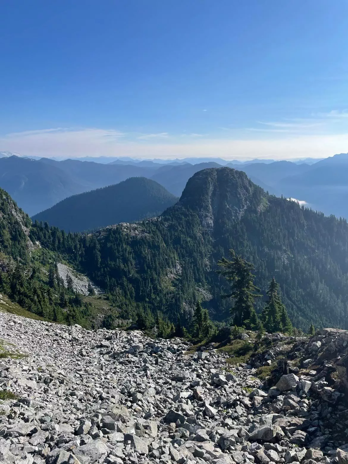
Some time through the creekbed walking, my GPS started acting funny (or I did, and was misreading), and I ended up going too far to skier's left, and cut off our uptracks a bit. I thought I'd just meet up with it again and continue back, but it started jumping around, and I ended up beyond it, and cutting off the HSCT beyond Thomas Peak instead. I originally had decided to call it and go down the West Lion trail, as I was getting tired and hot, but with my energy levels, food/water reserves, and lack of desire to upclimb to regain the trail at Thomas Peak, I decided "screw it, I'll keep going", and upclimbed to the trail a bit past Thomas Peak instead.
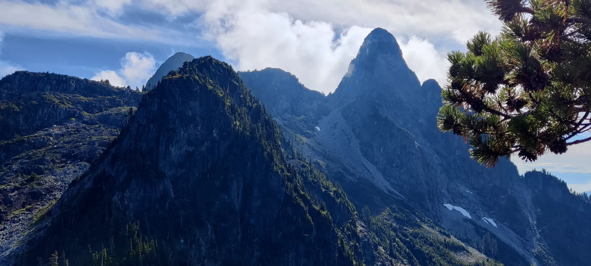
Now that we're re-situated on the trail, I'll continue this journey in the post for James Peak, the next peak on the HSCT.
GPX Track + Map
