David Peak - September 3 2022
The eighth stop on my attempt of a modified HSCT

North Vancouver Area, Lion's Bay, BC
1480m
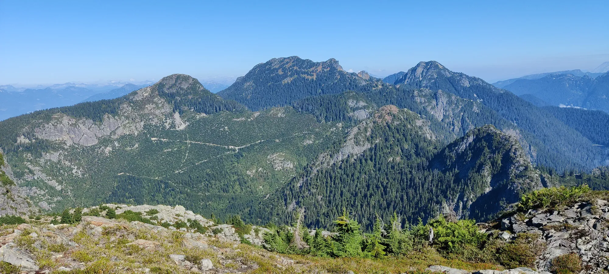
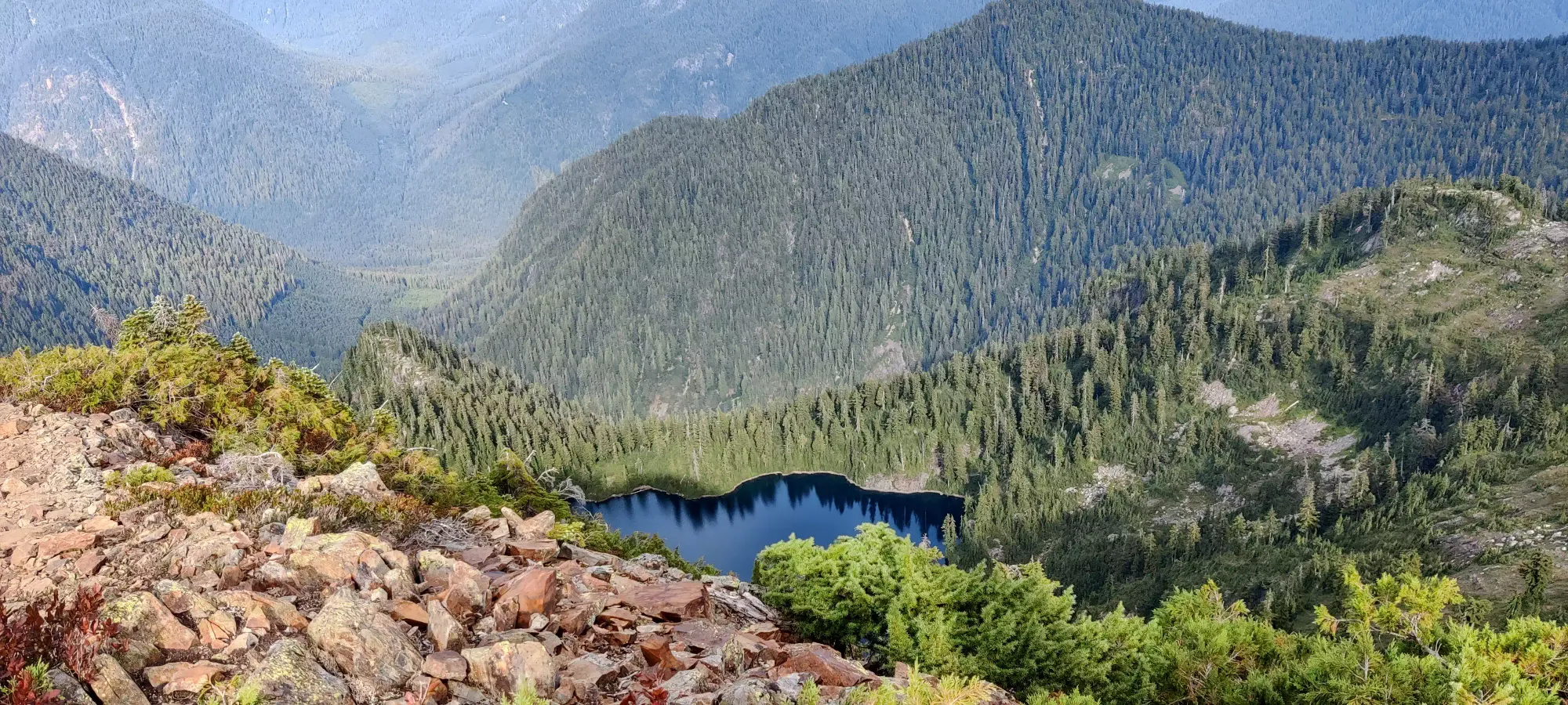
This is the eighth summit of my modified Howe Sound Crest Trail (HSCT) attempt, and this report picks up after James Peak. After summiting James, I led us down the trail (mapped, even) that for some reason goes just past the peak but abruptly ends. From here, I traversed across a cliff's ledge (admittedly slightly downward-sloping, but it felt fine enough I walked with just poles, no hands), and down a couple unexposed steps to cut the HSCT off. The others backtracked and went down the official route, and I got to relax and prepare for a cheesy "fancy meeting you here" joke (I'm surprised they stayed with me after this). Thankfully the descent isn't too bad for this one, only about 100m down before you start gaining up, so the descent didn't take too long. We did take another break of meaningful length, about 20 minutes or so at the bottom, though. One could attempt to get to Hanging Lake from here to refill, but the elevation loss/gain would SUCK. I was pretty low, but I got an amazingly generous donation of a couple hundred mLs, so I was at about 500 at this point.
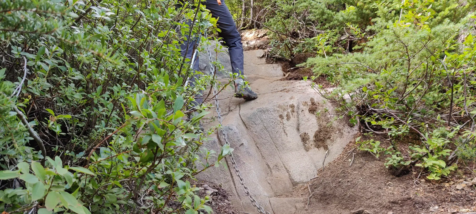
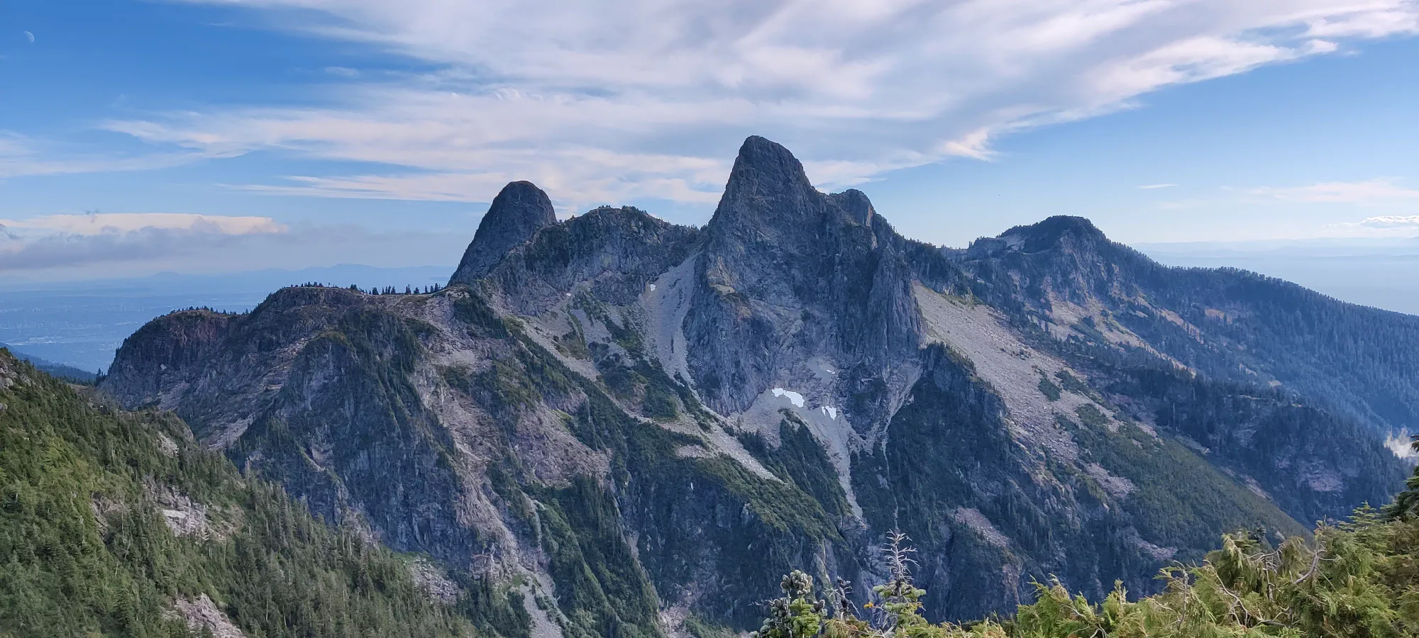
Once we started up, it was pretty familiar, as the terrain is largely the same as James. Steep, mostly easy steps and occasionally something more interesting, but chains wherever that happens to keep things easy and accessible to the most cautious of hikers. The last maybe 30-50m are in the red rock you can see in the title picture, where it's loose scree on top of solid rock, but the scree isn't deep and the rock below is well-formed and makes good steps, so you can get up without sliding or kicking stuff down, even.
At the peak, we chilled for a bit, took some pictures, and then I saw the time and decided it was time for us to part ways if I wanted a shot at getting home before dark. It was 5:20 after we finished at the summit, and I still had to get down, up Harvey, then all the way down, so I had to move with some haste.
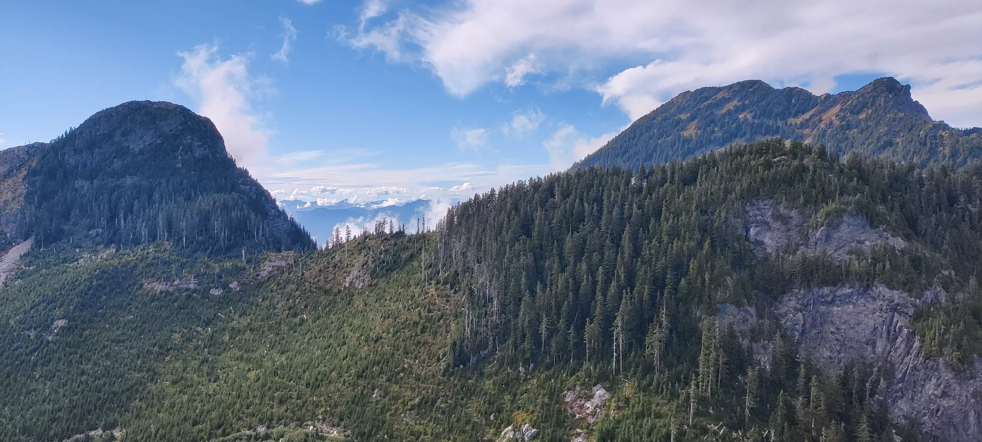
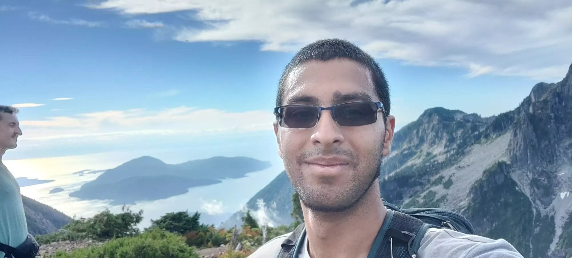
So, with some sadness from leaving my company, and a bit of dread after looking at the stats for the rest of the hike in front of me and the amount of water I had left, it was time to head to my last peak for the day, Mount Harvey.
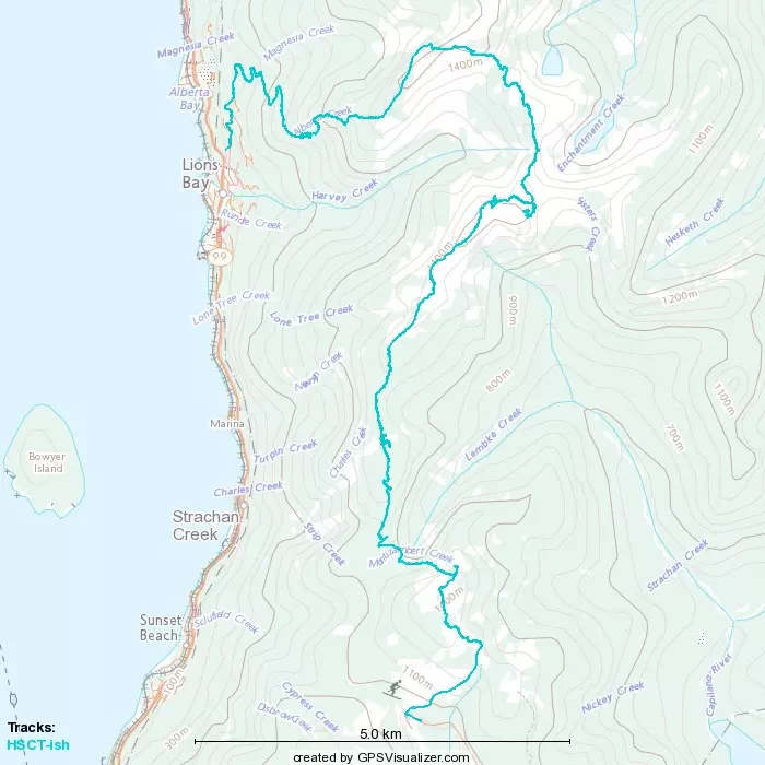
GPX Track + Map