Cypress Peak - September 18 2022
A shorter but still fun follow-up day to Saturday's gallivanting
Squamish-Cheakamus Divide, Squamish, British Columbia
2083m
After Saturday's fun on Seed Peak and Mount Gillespie (got home at 11pm), I might've normally taken the next day off. However, the weather was too good, and more notably, I made plans beforehand with Kyle Thompson, another Facebook group member. Hence, Cypress Peak, here we come. After not-enough-sleep, I hastily got up+ready, and we headed out from downtown Squamish just after 8:30am.
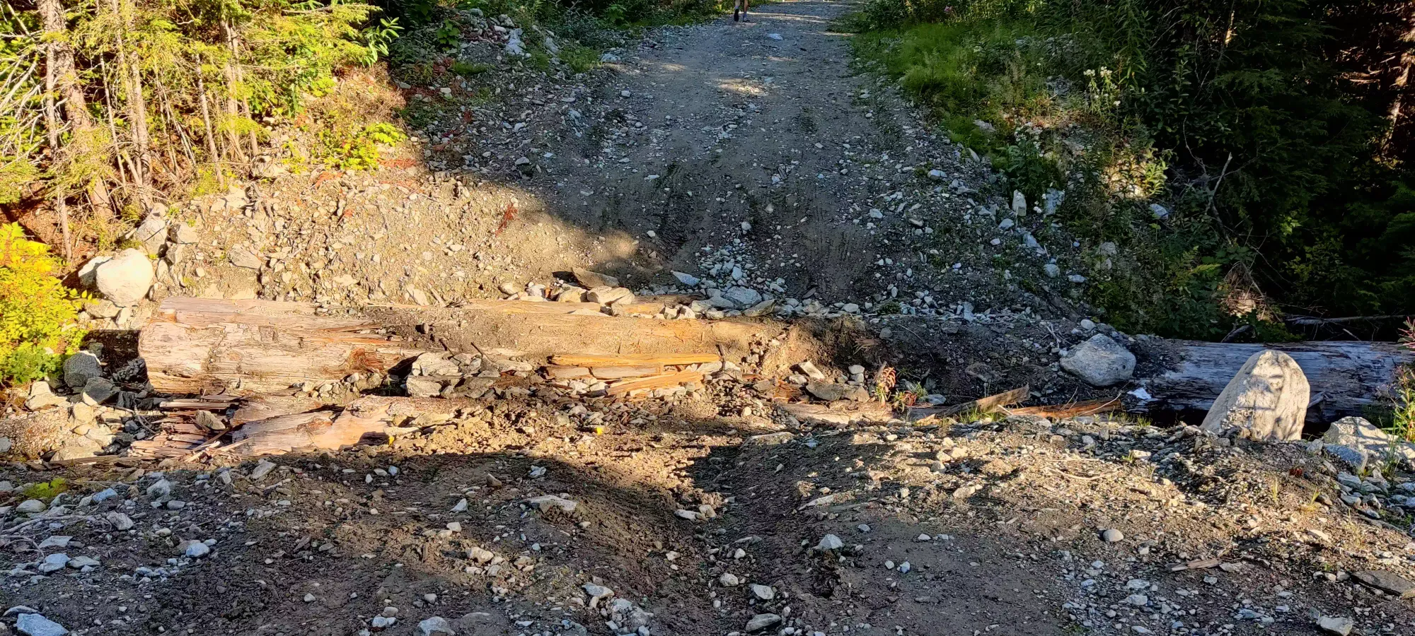
Once we got off the highway, it was a pretty easy drive up Chance Creek FSR to the fork at Roe Creek Road, which we then took. That was also a 2wd-accessible road as long as you drive somewhat carefully, I definitely have done worse in my old Lancer. Just before the fork for the R100 branch road, there's a bridge, and just before that, there's a small parking lot. This is where I stopped. There is a sign warning that the road is deactivated beyond, and it definitely looks like it. Picture fail to show the steepness of the road, but the first cross-ditch beyond the parking was rough. I would do a clean ditch of that depth in my Compass, but with the loose rocks and more notably the large log, I knew I wouldn't have traction, so we just hopped in Kyle's 4Runner and got through.
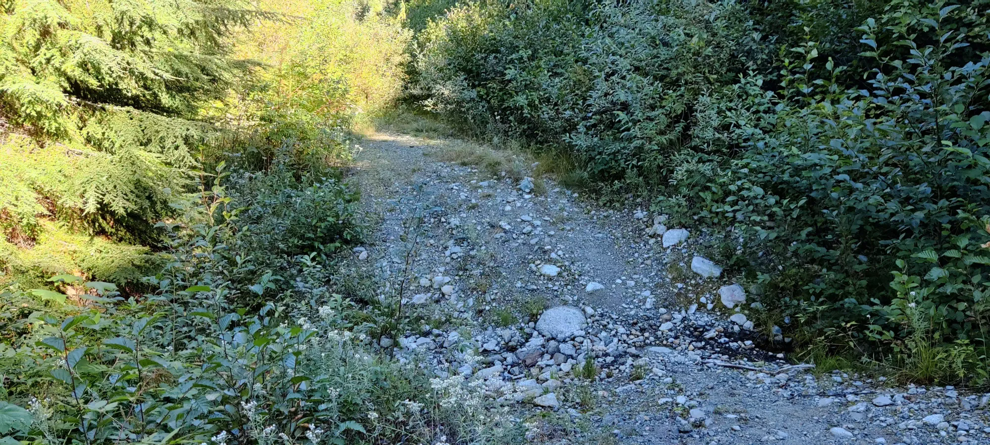
Beyond this, there's a new bridge over Roe Creek, then the road is just a long straight line. However, that straight line has ditches even worse than this one, with logs, loose rocks, running creeks, off-camber sections, you name it. I would say it's definitely "real 4x4 only", with a guarantee of pinstriping if you bring a full-size vehicle up there. We definitely used all of his low range, diff lock, solid axles, and skid plates in this driving, it's a real 4x4 trail. I would bring an ATV, dirtbike, or just a regular mountain bike to go past the parking if you have time to plan, and access to such a vehicle.
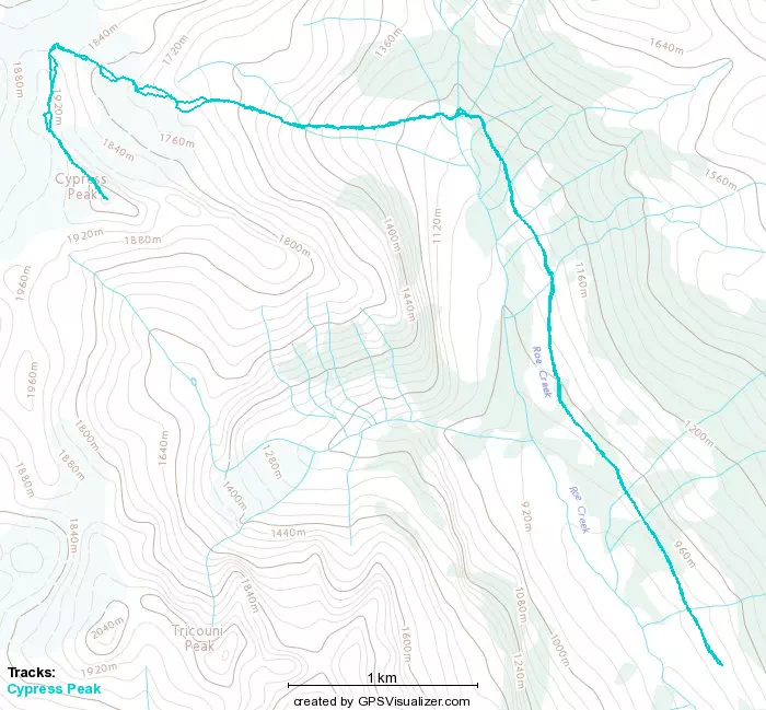
We parked a bit over 2.5km past the bridge, with about 3.5km left on the deactivated road before the actual trail started. One could push further, but it got even more narrow and the pinstriping would be really bad, along with some even gnarlier ditches than the ones we made it across. Plus the hike from this point isn't intolerable by any means, so there was no need to risk damage or getting stuck. So, a short many-point-turn later, we set out on foot at 10am, at just about 900m of elevation.
We burned through that first 3.5km pretty fast for going uphill, gaining up to 1150m in 45 minutes. We could've probably burned it a bit faster, but we were talking and enjoying ourselves, with no time crunch for daylight, so no need to push crazily. Partway through I got to see what Tricouni Peak is supposed to look like, as my ascent there was largely clouded, and I never got to see it from this side anyway.

After that initial first burst, there's a short downhill to get over the creeks, followed by a short section of narrow dirt trail through tight brush (not really bushwhacking as much as bush-brushing-aside), which then pops down and out into a talus field. Once we broke out into here, Kyle pushed ahead a bit, as my legs were clearly a bit tired from the previous day (and lack of sleep/food/water to recover from it). We still made pretty decent progress up, though in a couple spots where it wasn't just boulder-hopping and instead steep+loose dirt my crappy shoes had some traction issues that were rather frustrating. We took our first break at 1300m about 1:10 into the hike, and then at 1670m 2:10 into the hike. To this point, it's basically just boulder-hopping up the talus, interspersed with some looser dirt sections, nothing really of note.
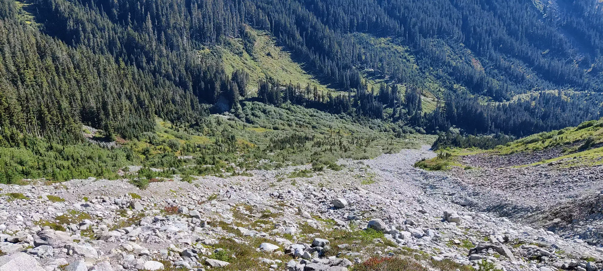
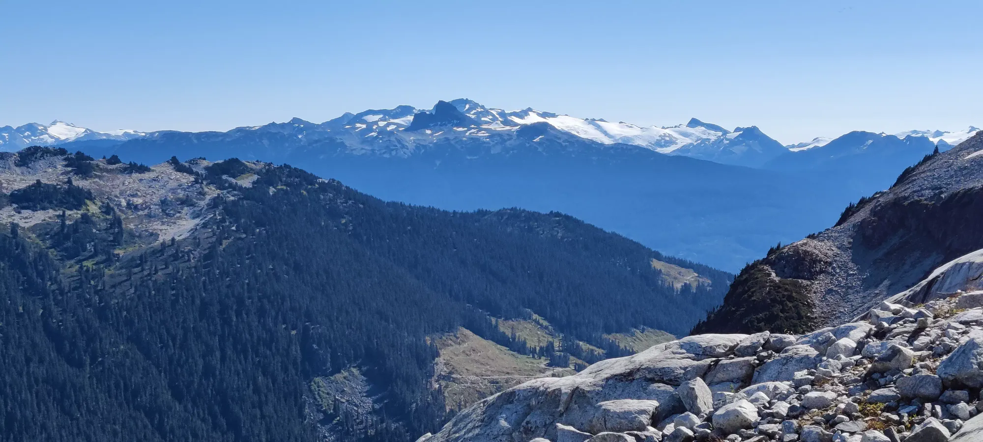
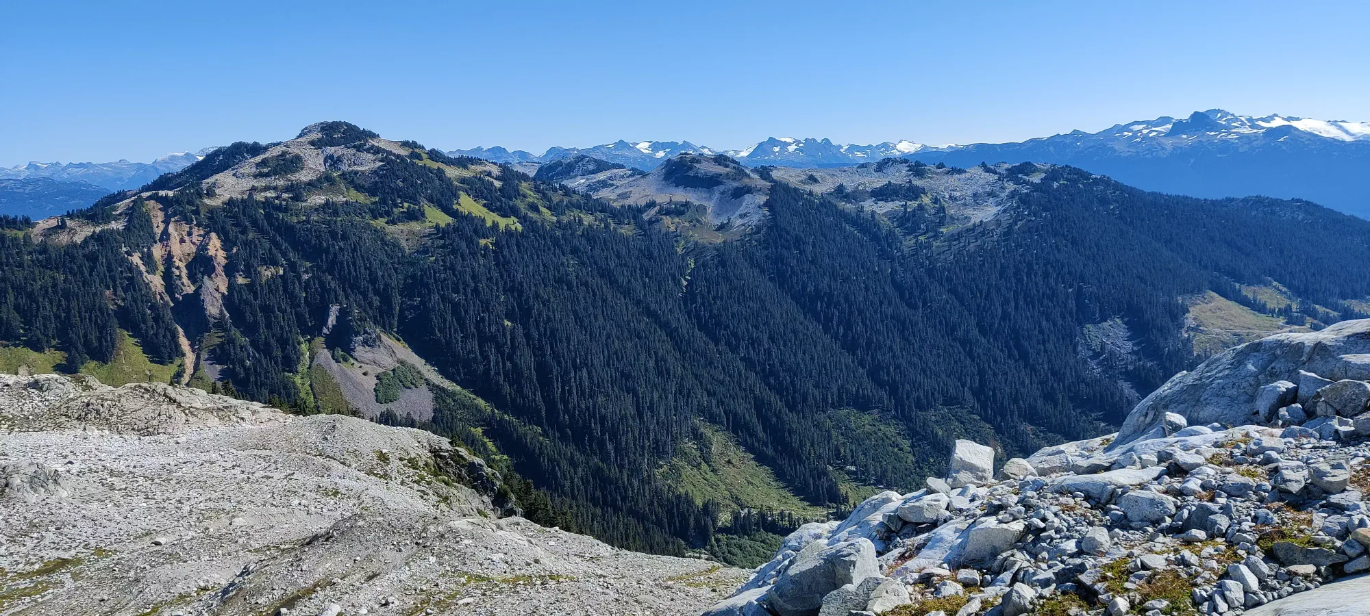
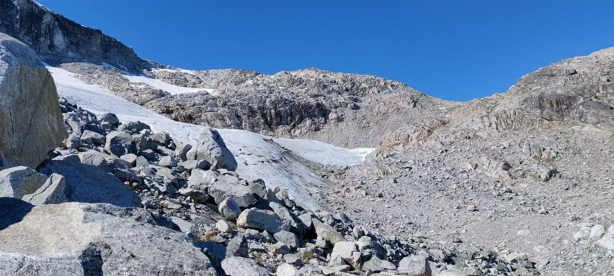
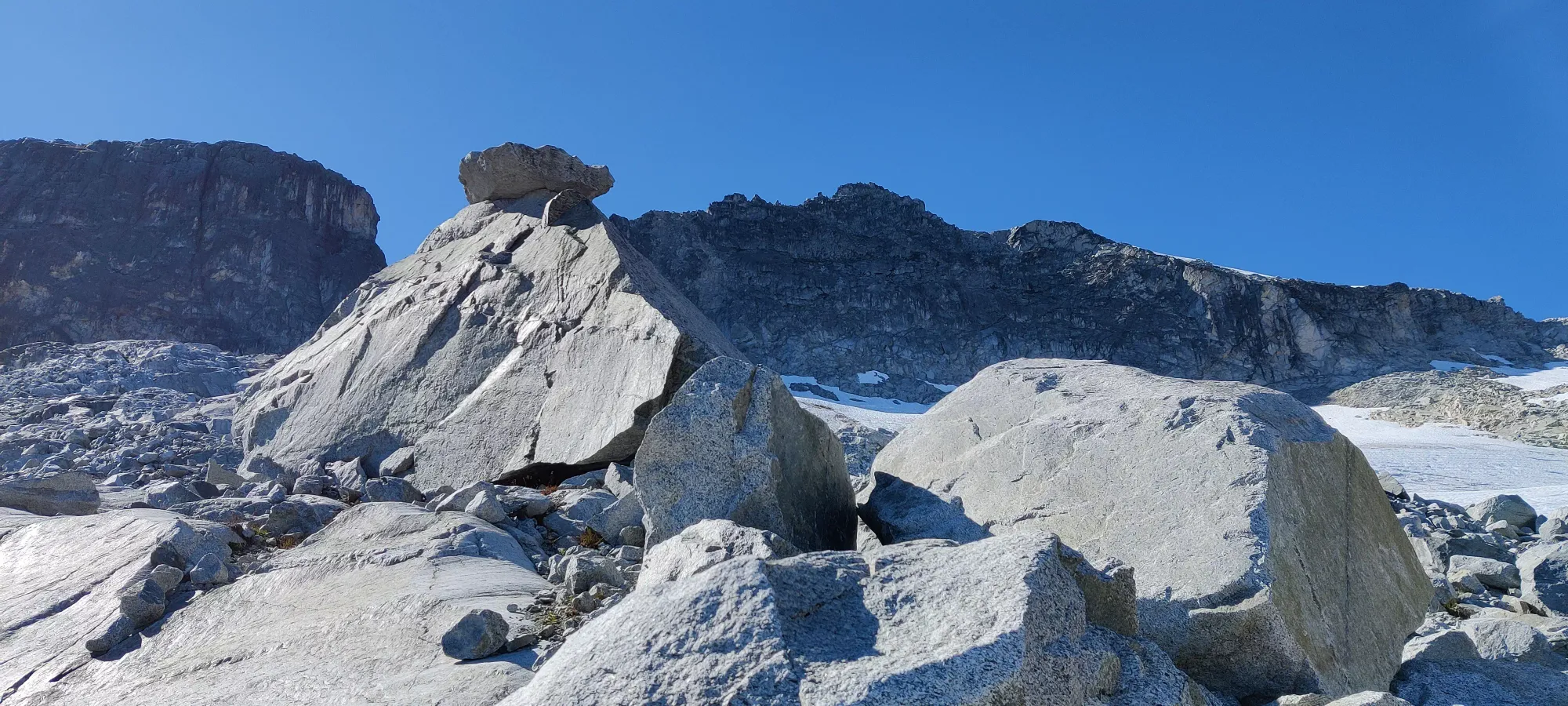
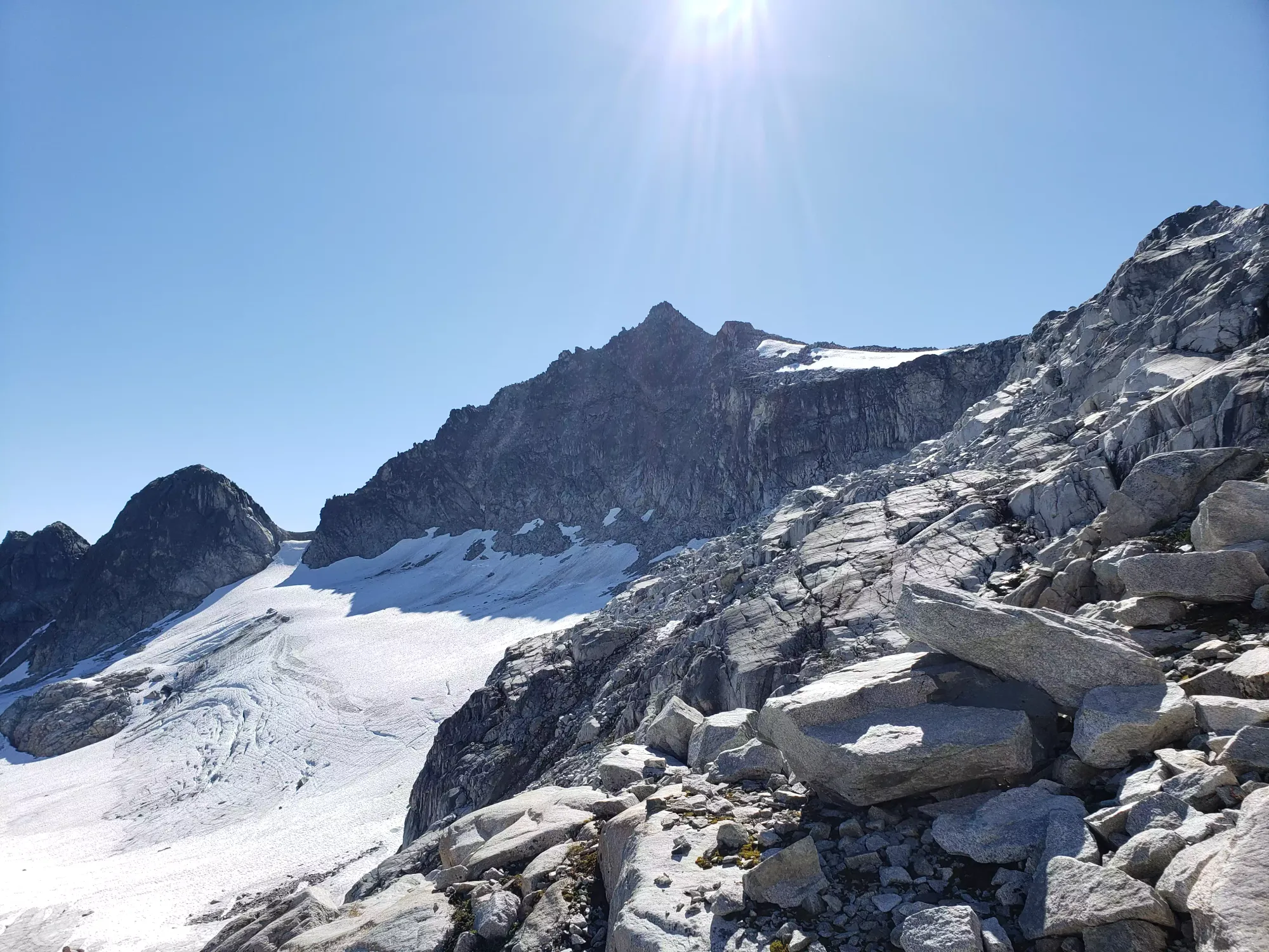
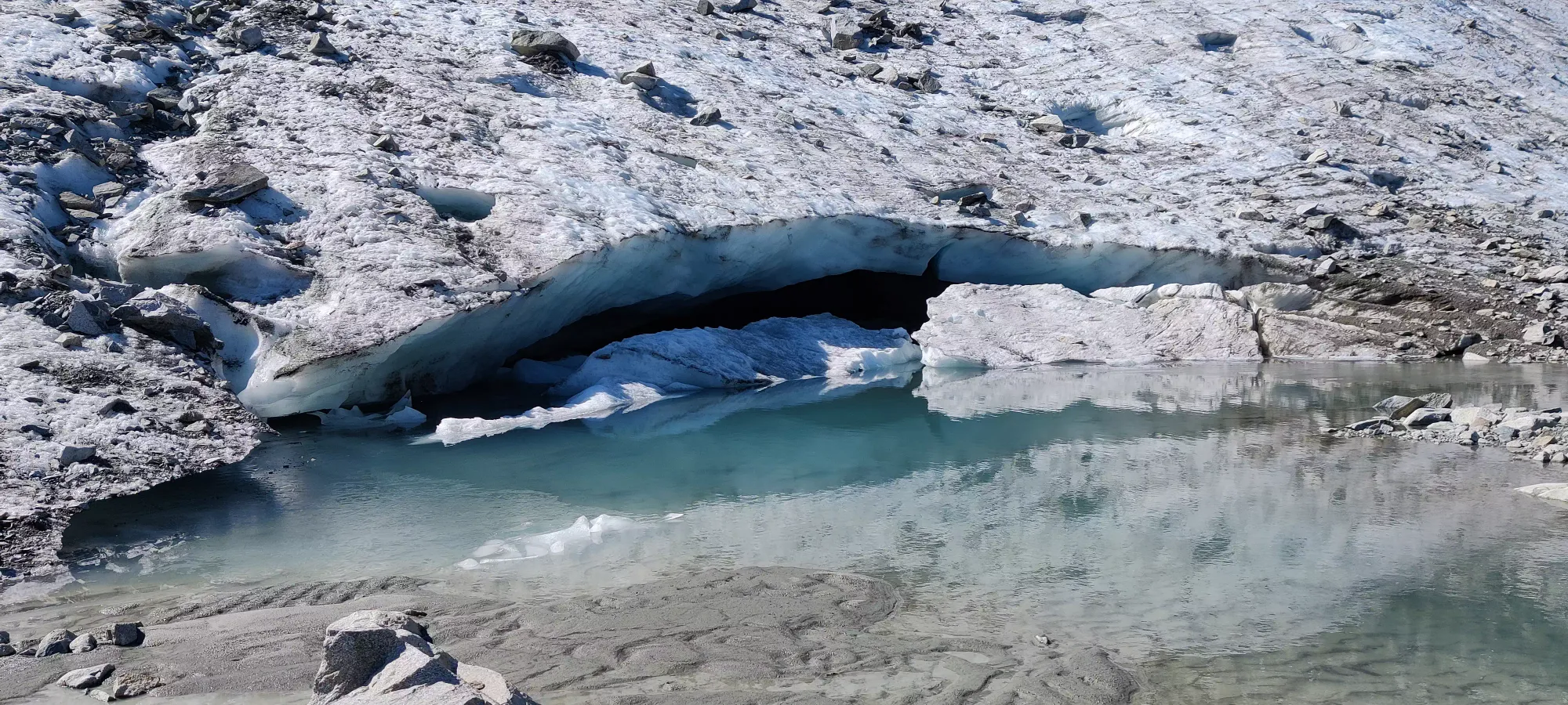
From that point, it's flatter terrain for a bit, skirting around the bottom of the glacier. We saw a really cool quasi-cave at the toe of the glacier where the runoff formed a creek, complete with the pieces that broke off reminding you going into it is a terrible idea. Still looks cool though.
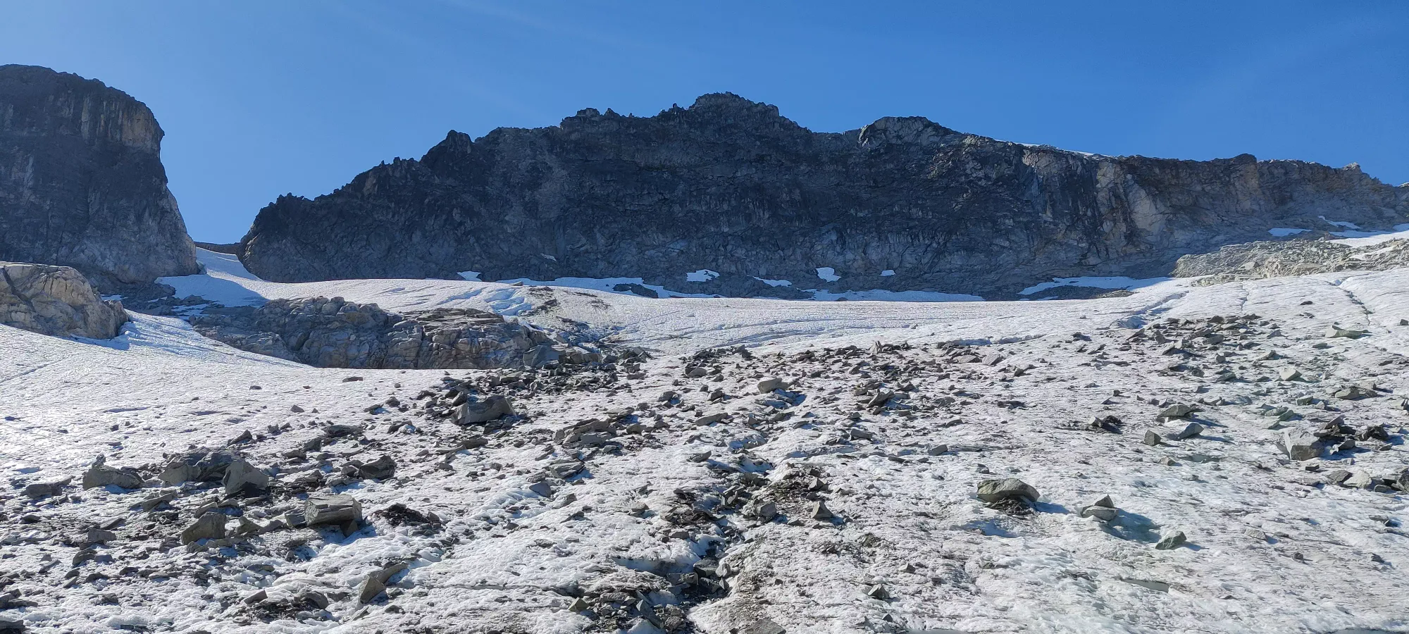
From there, Kyle went ahead again to blaze the trail and give me some motivation. I took 35 minutes to get up from the toe of the glacier to the big left turn up onto the ridge at 1860m (about 200m above the glacier's toe). From there, it changes from hill traverses and boulder-hops to boulder-hops with occasional hand placements! I traversed for about half an hour to catch up to Kyle just before the scrambling began, where we stashed our poles and got ready for our reward for all the slogging beforehand.
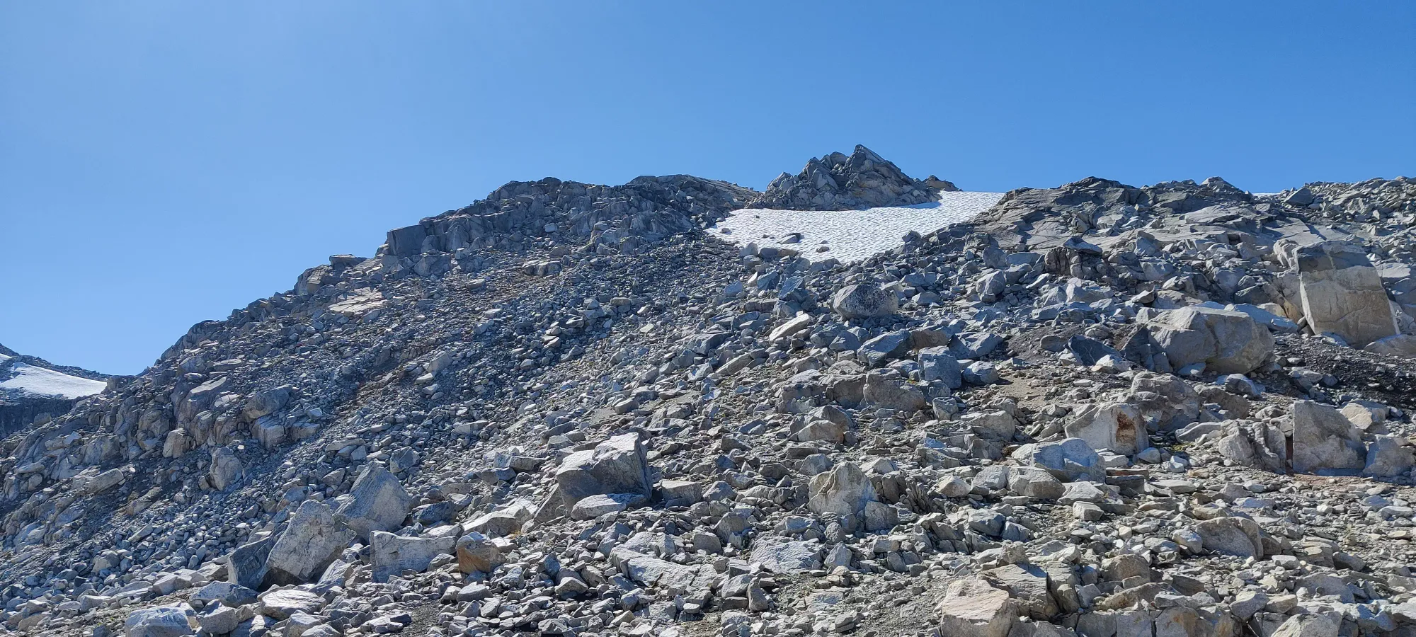
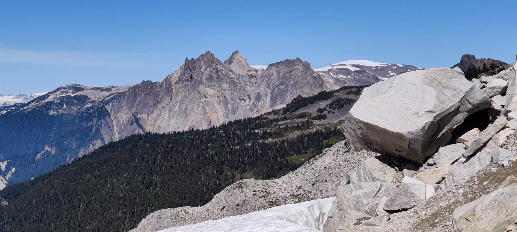
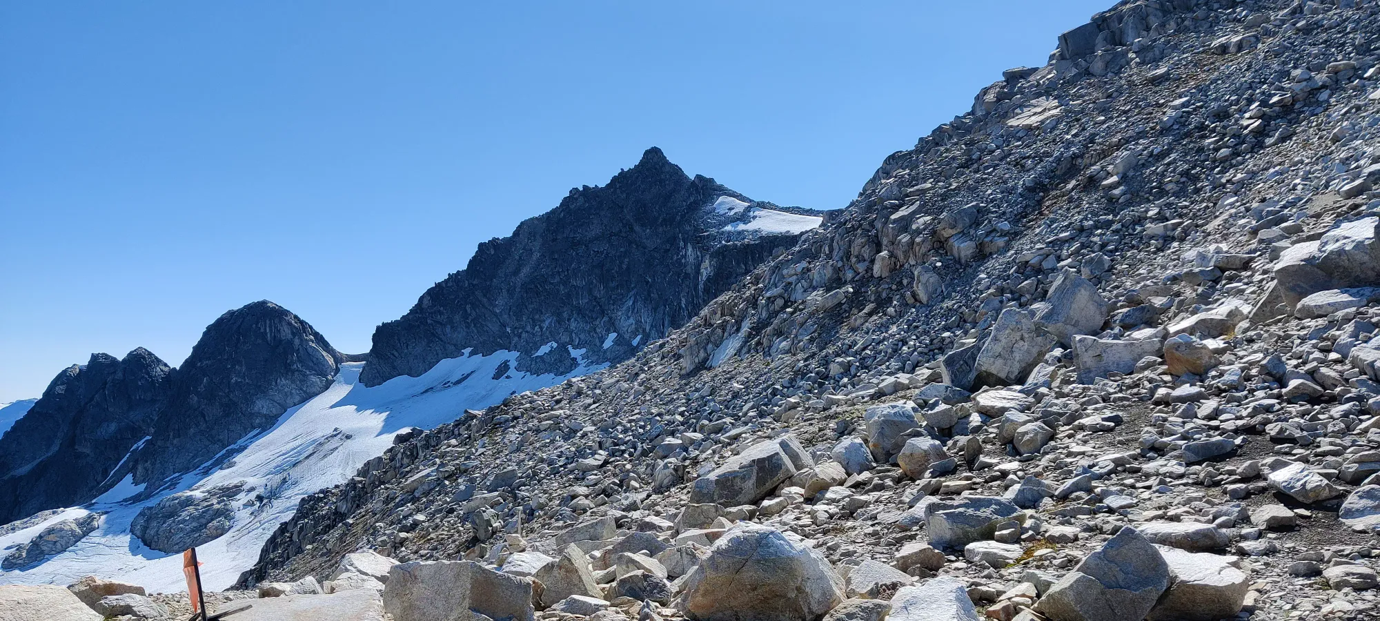
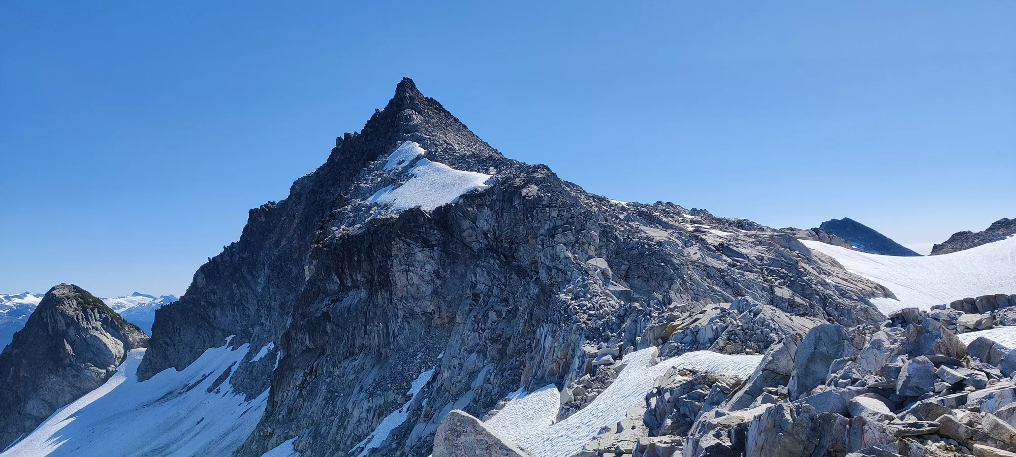
The most fun scramble was actually off-trail a bit. The cairns and markers seem to go down and around the other side of the ramp, but I decided to just scramble right up instead. There was one class 4 move, but the holds were good and it otherwise was class 2. Fun, though, and you don't have to lose any elevation!
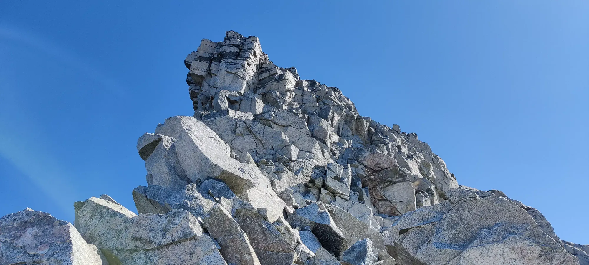
After this it's either just ridgewalking or class 2, nothing really exposed at all. We topped out at 1:40pm, 3:40 into the trip. We took a long 25 minute break to enjoy some lunch, take pictures, chat, and enjoy the windless, clear skies.
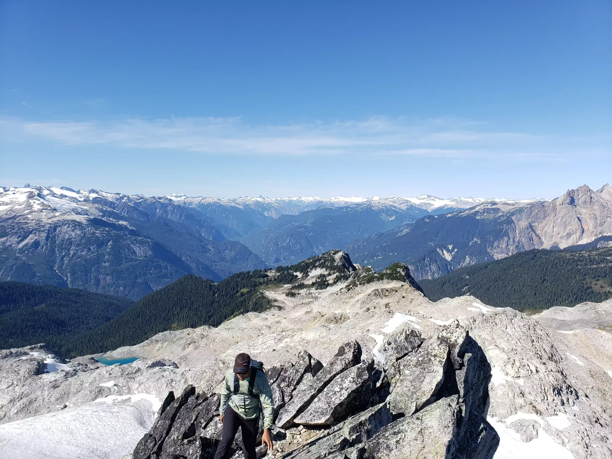
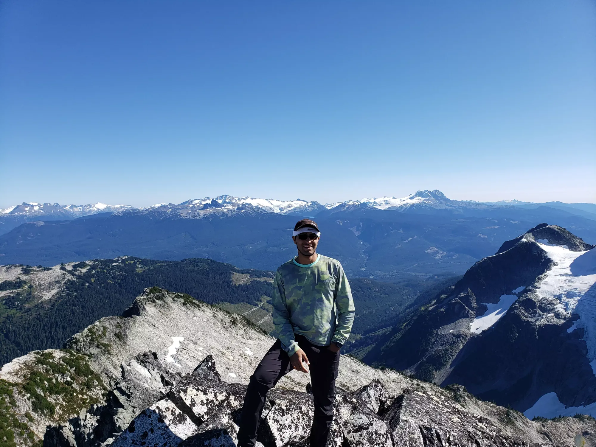
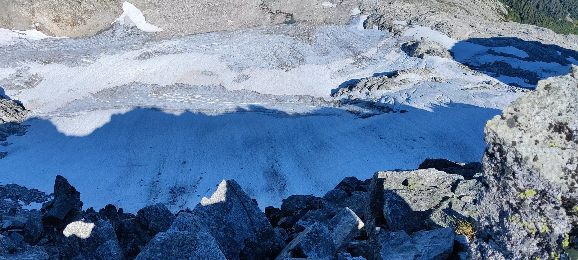
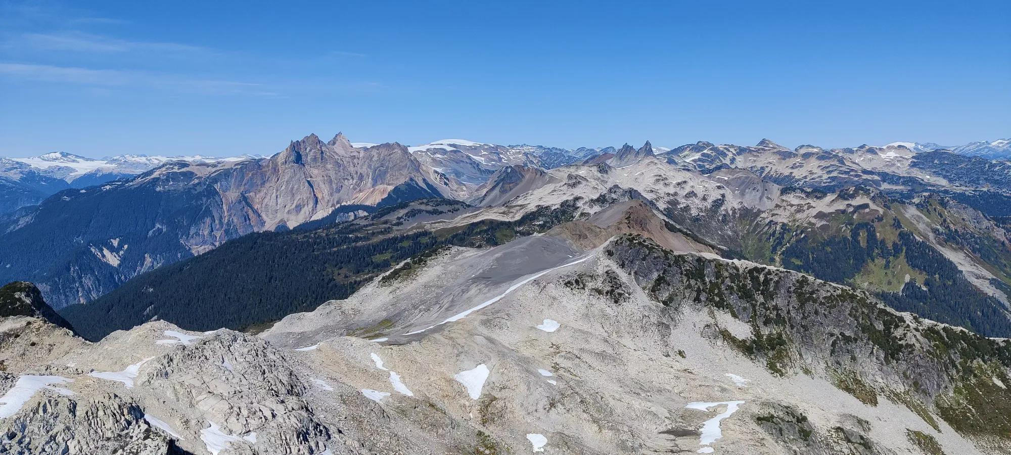
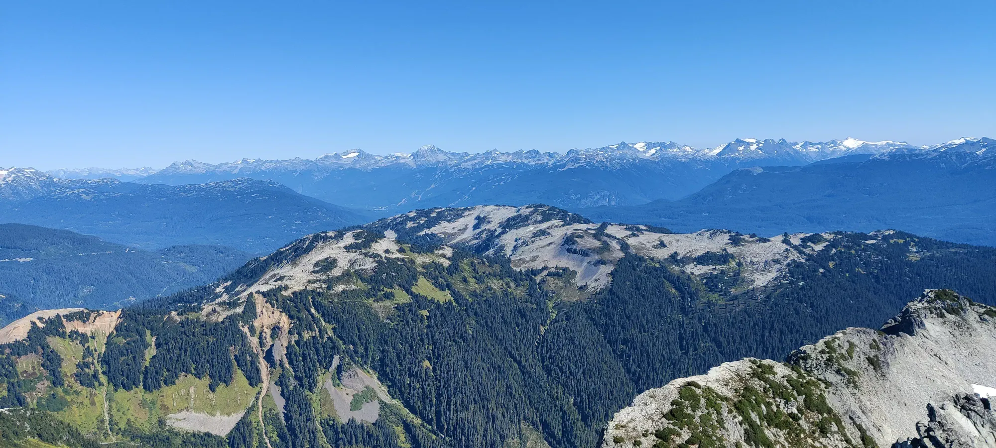
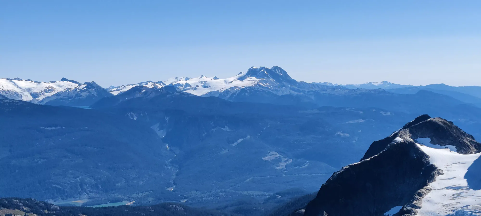
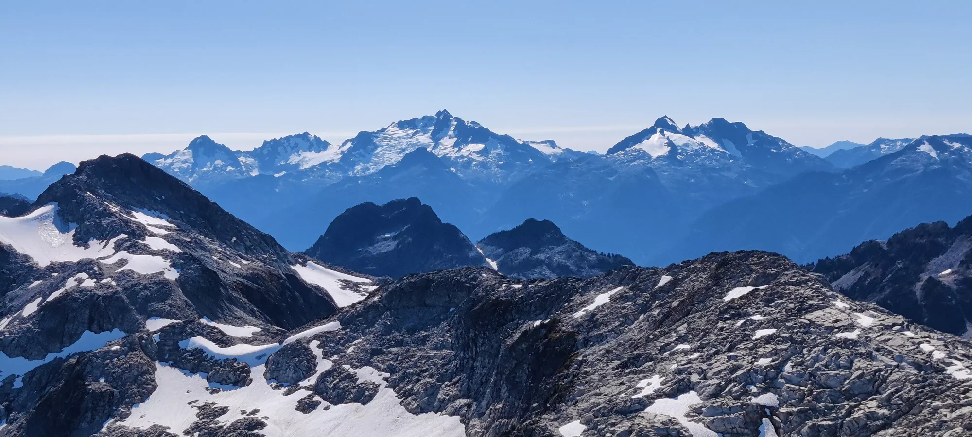
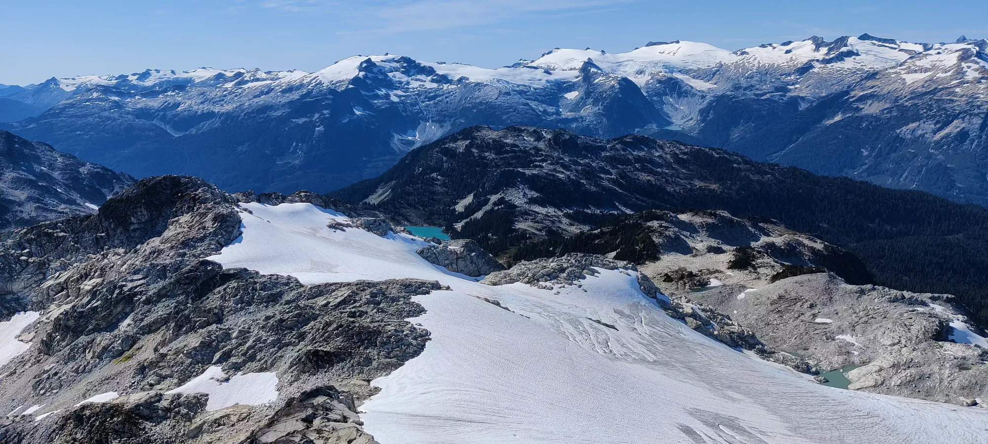
After a nice, break, we started our way down. It was pretty unremarkable down the ridge, we took a couple turns to use snow advantageously or to try and avoid undulation, and made it to the big turn in about 40 minutes. From there, we said hi to the first and last other group we saw that day, and continued on down to the glacier's toe. We reached that in another 20 minutes, where Kyle refilled some water, then it was down the last flatter stretch before the steep boulders, which starts at about 1550m.
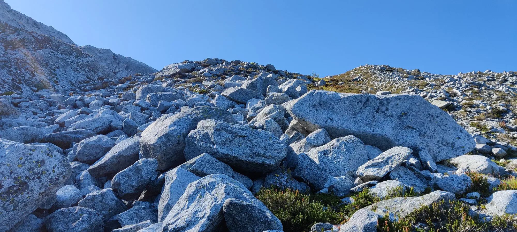
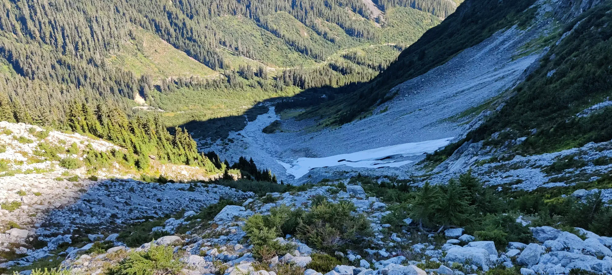
This next section was pretty annoying for me, as my shoes were not gripping anything worth a damn, and the looser dirt or watery sections were full of slips and nothing fast or enjoyable. Kyle slipped out ahead while I dealt with all that bullshit, until I managed to cross the creek at about 1400m, where things got a bit better, and after a few more minutes the angle shallowed a bit, and I could go at a reasonable pace. Some more confidence in my steps combined with some tactful routefinding allowed me to catch up near the bottom of the talus field, just a bit above 1200m (also conveniently the 6 hour mark into the day).
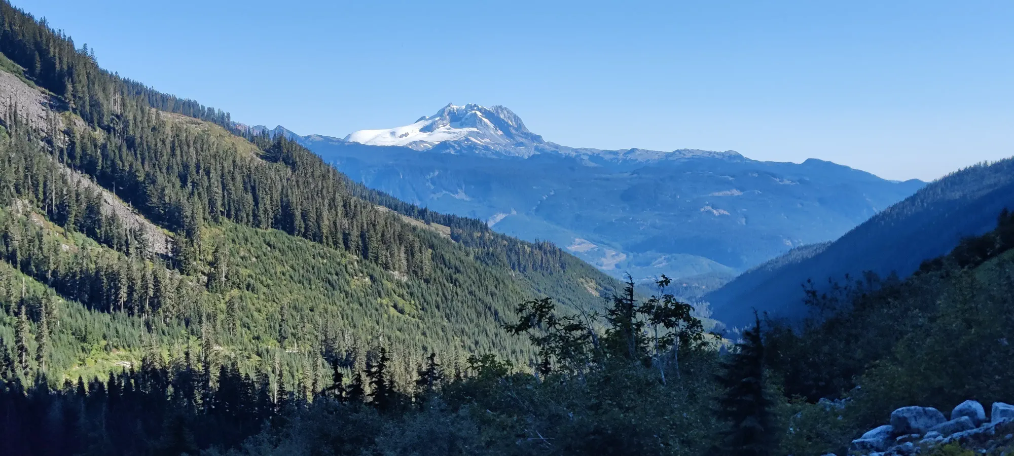
From there, we stuck together through the dirt/bushy trail, up the creek bed crossings, and through the short forest section, where we got deposited at the deactivated FSR 10 minutes later.
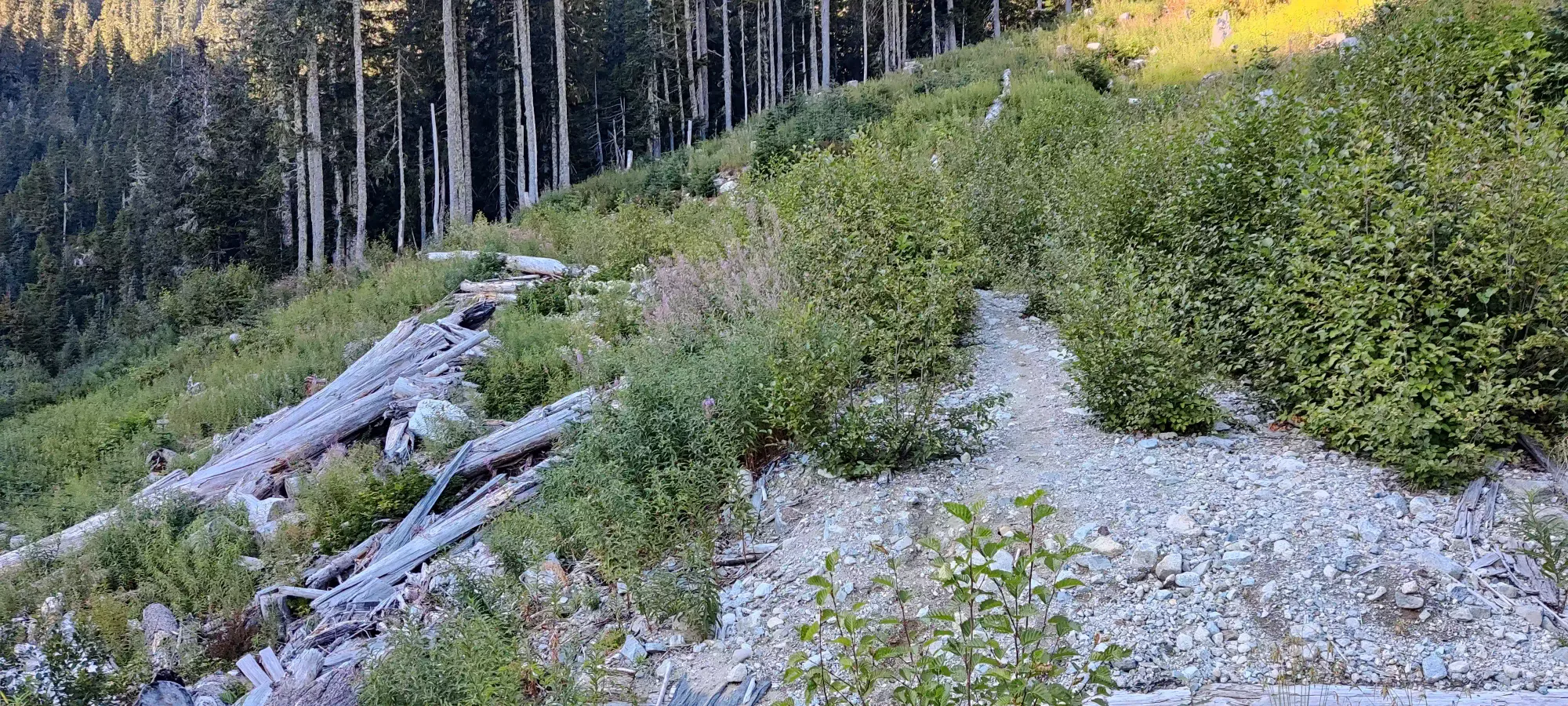
The FSR plod was quite uneventful, just 35 minutes of casually walking down. Kyle didn't seem to want to push down at any sort of breakneck speed, and I didn't feel any need to challenge that, so we went as a reasonable fast-walk. We did remark that we both own bikes, and if we planned better we could've tried to bring them to cut off this time-wasting road hike. Alas, we did not make such plans, and we had to wait that much longer to arrive at the truck. Once we did, it was a not-harder-than-before drive back to the parking, where we went our separate ways.
Overall, I'd say this is a mixed-bag mountain. The approach to the trailhead is long and boring, but can be circumvented with bikes, ATVs, etc. The trail up to the glacier is rather annoying and uninteresting, but it isn't long, at least. The ridge is interesting enough, with good views, and there's a short but fun scramble at the end. When push comes to shove, though, it's a peak, and that's basically enough in and of itself for me, so I'm definitely satisfied with the result. It worked well as a second-day peak, as it wasn't too long/hard for me to crank out even on low sleep+calories.
GPX Track + Map
