Crumpit - February 27 2023
A short, stupid, after-work attempt to ski something that shouldn't be skied
Sky Pilot Group, Squamish, BC
331m
For the last week or so, I'd been on-call and relegated to cell-signal and laptop-friendly activities, and as such most peakbagging objectives were out of reach. The weekend was productive from a skiing perspective, but I'd been feeling summit withdrawal, so a plan had to be formed. Saturday/Sunday gave us a big dumping of sea-level snow, and as such I got a really stupid idea: try and ski one of the low-elevation bumps around Squamish I'd been saving for an easy win kind of day. I asked some other locals who've been around a bit longer if they've tried it, and sure enough, at least one person said it might be doable, although he tried it when we had a bit more snow last year, at the same time some guys skied The Chief.
So, after the workday had mostly wound down, I packed my bag with my laptop, lots of battery, and some food in the worst-case that I got a call during my short outing, and drove myself down to the bottom of the mountain biking trails that are the usual source of traffic on the Crumpit (yes, it is actually spelled like that). There was enough snow at the trailhead (barely) to put the skins on, so I did. You could just bootpack, but I wanted to make it as much of a "ski experience" as I could, so skin I did.
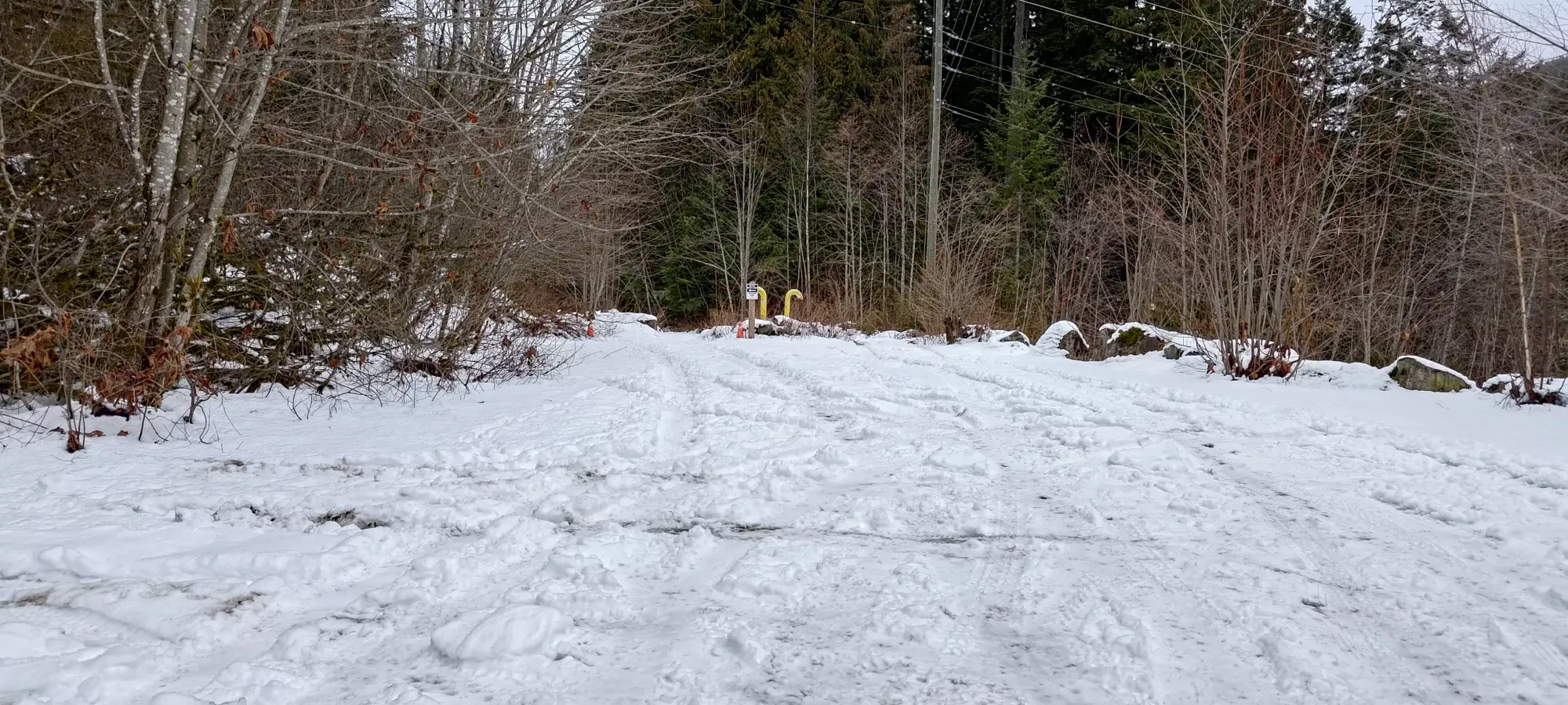
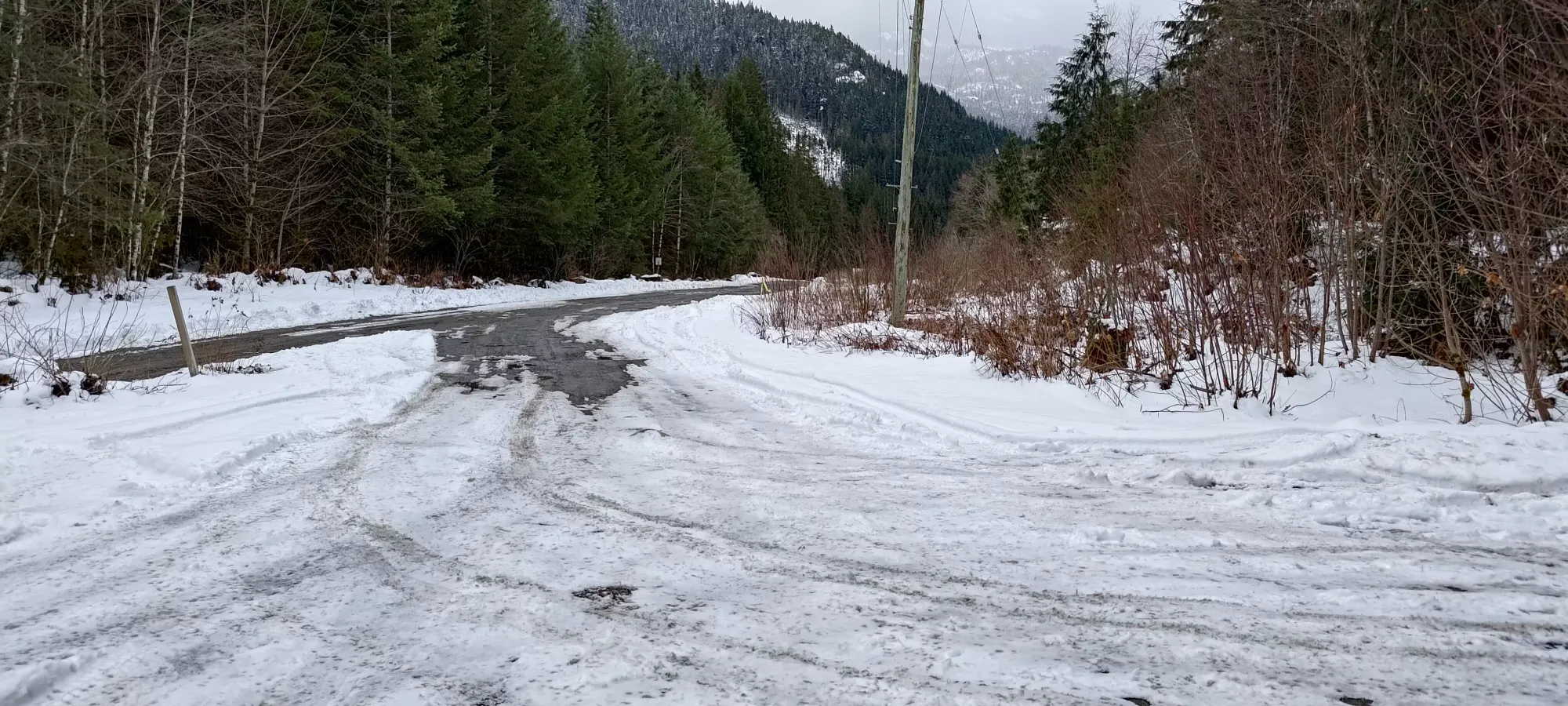
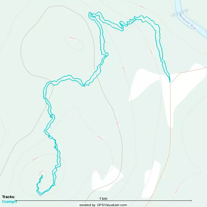
I originally planned out a route on the steeper south face, but after some more thought, I realized the snow might be warmer (and therefore more melted), and also with how thin the snowpack was, it probably just wouldn't be good enough coverage anyway, so I pivoted to the mellow NE side of the "mountain". After getting geared up, I set out at 4:37pm from my car, leaving me about 1.5 hours til sunset, plenty for the about 300m gain trip, I figured (and I didn't really care if I came out in the dark, it's not exactly big, remote, or difficult).
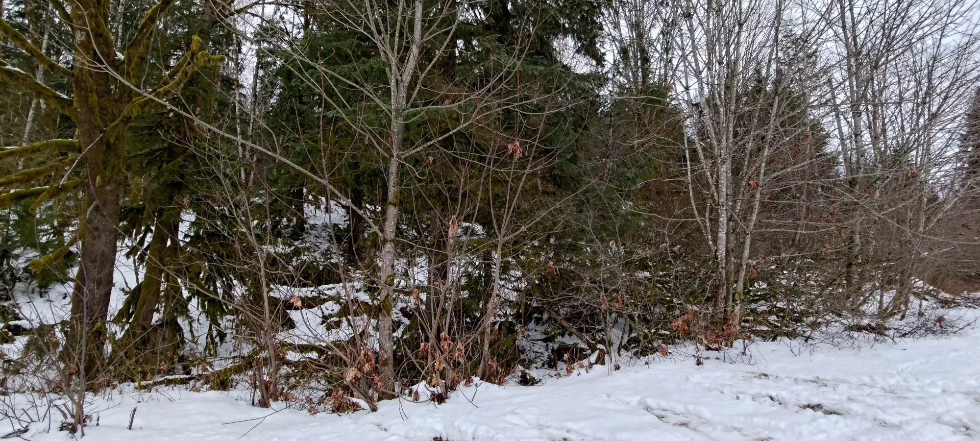
The skin from the car went along a pretty wide trail that ran above and parallel to the Mamquam River, through a pretty narrow cement-block constriction to prevent vehicles from getting too far (was fun getting the skis through there, but I managed), then eventually split off to climber's left onto the Fatherside Trail to head up the mountain. Snow coverage wasn't bad, if you tried to make turns on the way down you'd definitely trip on rocks, but I had high hopes about just skiing down my skin track since that'd already be packed down. There were already a couple people's worth of bootpack tracks, though I kinda destroyed most of the evidence of that with my skis.
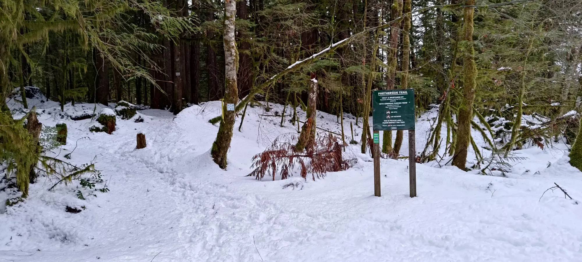
From there, it was just like regular skinning up a pretty mellow trail, except with less snow and more dirt/rocks than a regular skin track. Coverage was pretty variable, in spots the snow was totally skiable, in others it'd be bare dirt for a few metres, usually when under a particularly thicc tree.
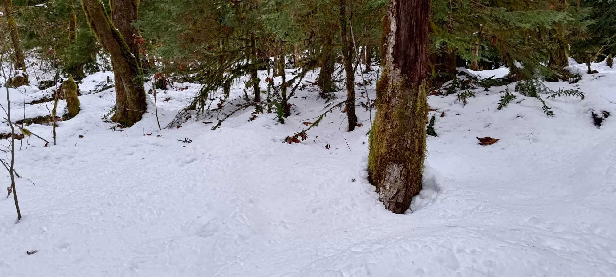
About 13 minutes in, I hit the Farside/Fatherside junction, and decided to continue on the latter, as it was a little more direct, and seemed to have less undulation, which was important to try and ski down. Here it also seemed to become a single person's tracks instead of a couple, though that wasn't really relevant for me, the snow was thin enough and the trek short enough I didn't really care either way.
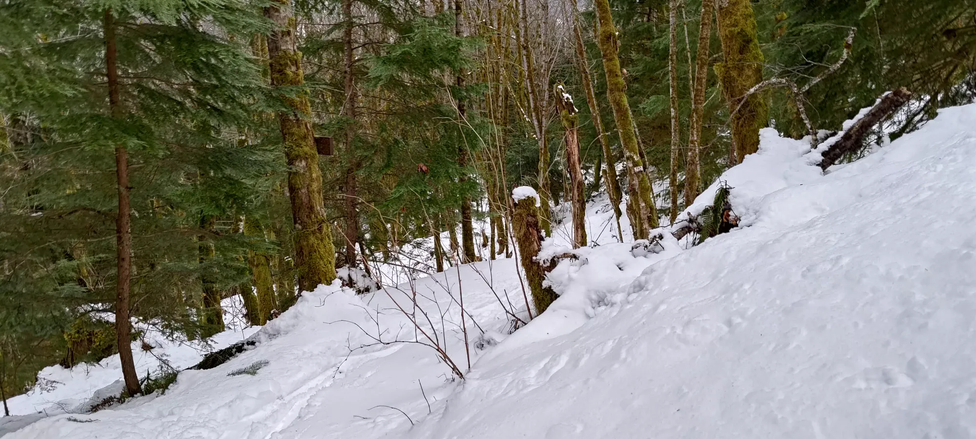
The trail continued in a similar state until about 210m, where the first fork for "summit trails" appeared (in this case, Singletrack Mind). I decided not to take it, though, hoping the marginally more northern Woodpecker trail would result in marginally better snow.
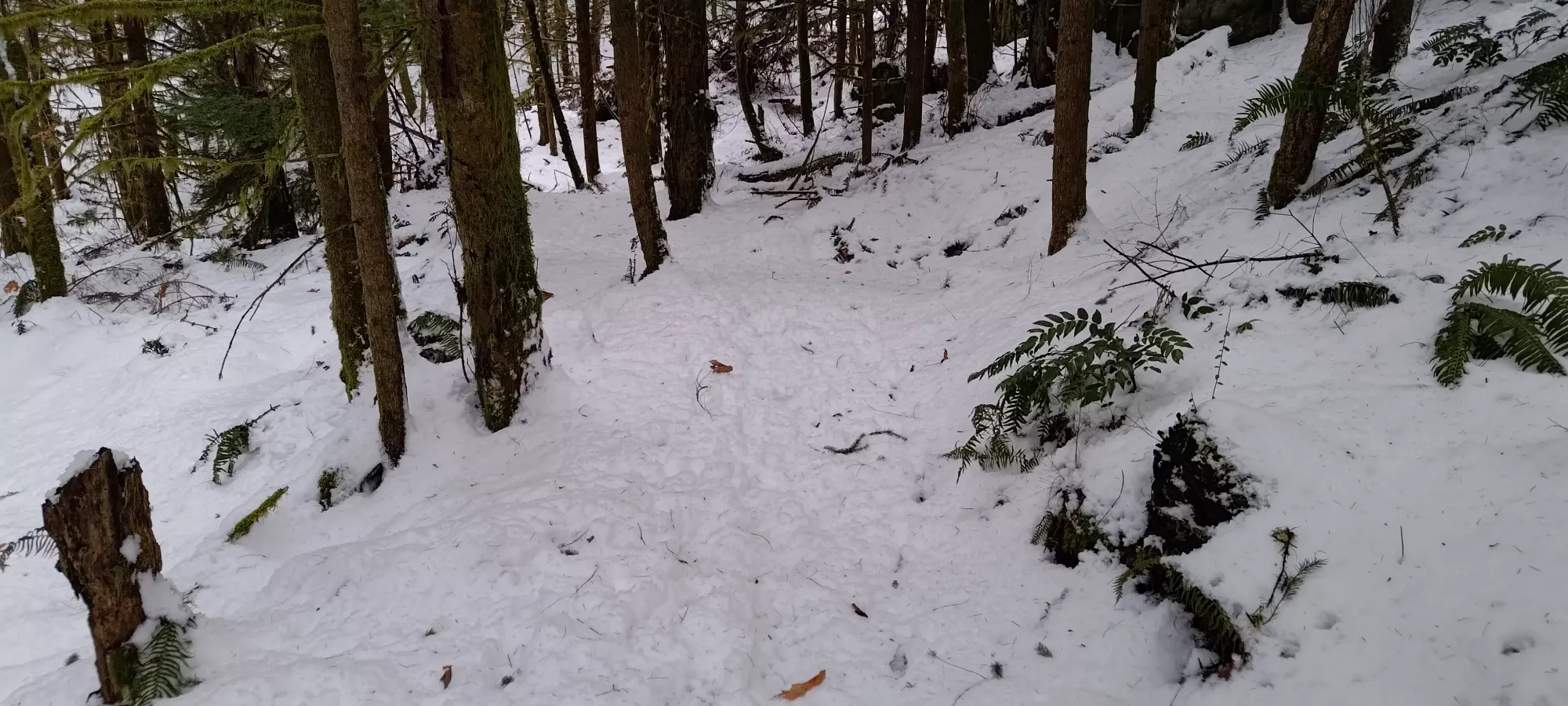
Unfortunately, my hopes were dashed pretty quickly. While I was lucky that the trail was "broken" on Woodpecker, I discovered that whoever was on it seemingly had spikes on (if I had to guess) and was getting some wetter snow, as a lot of steps seemed to have the snow come up as a chunk and be displaced, whereas until that point, snow just compressed under the weight of people's feet. With that, the steeper slope, and the lack of depth in the snowpack, I knew skiing wasn't going to be pretty or likely possible in this section. Nevertheless, I put my risers up, fell quickly, remembered to lock my toes, then set on uphill, half an hour into the journey.
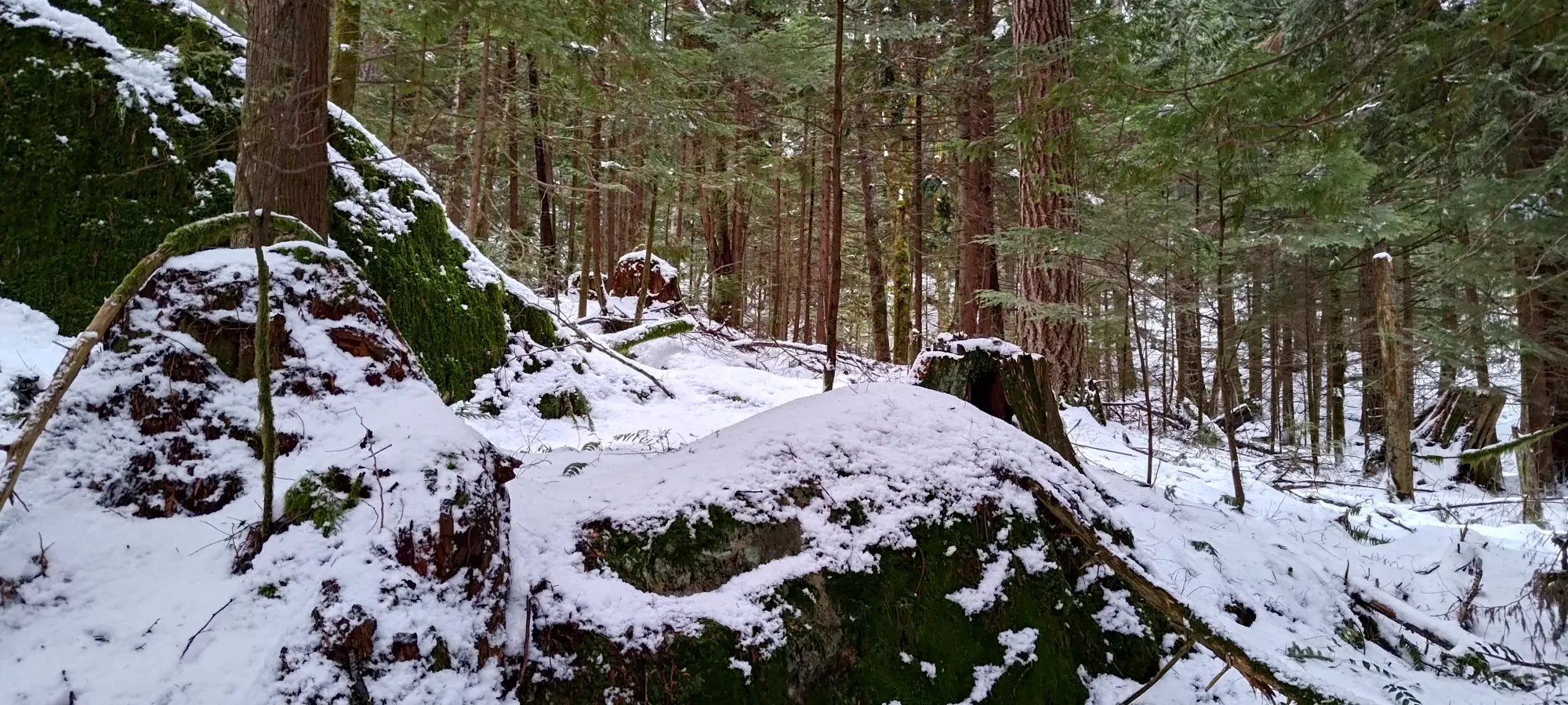
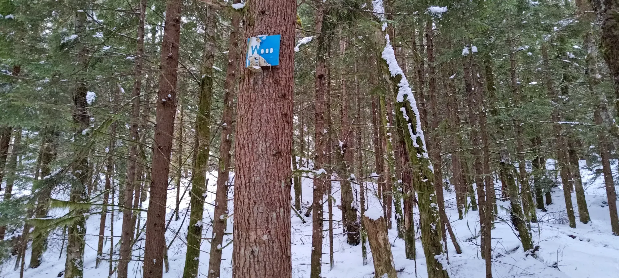
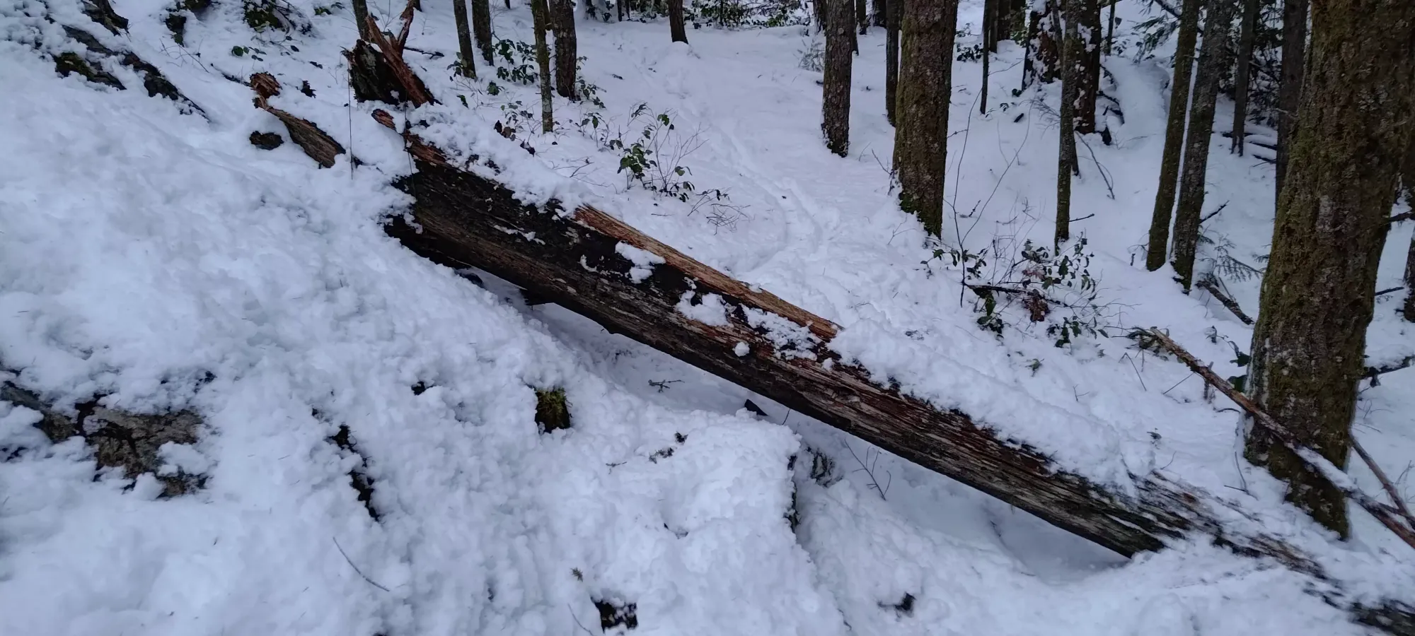
At about 300m, around where Flow Master meets up with the Woodpecker Trail, I found a large deadfall in my way, which took some interesting manoeuvring to get over without taking the skis off. Those planning to replicate my inanity, or perhaps just bike here will want to be sure to avoid crashing into it.
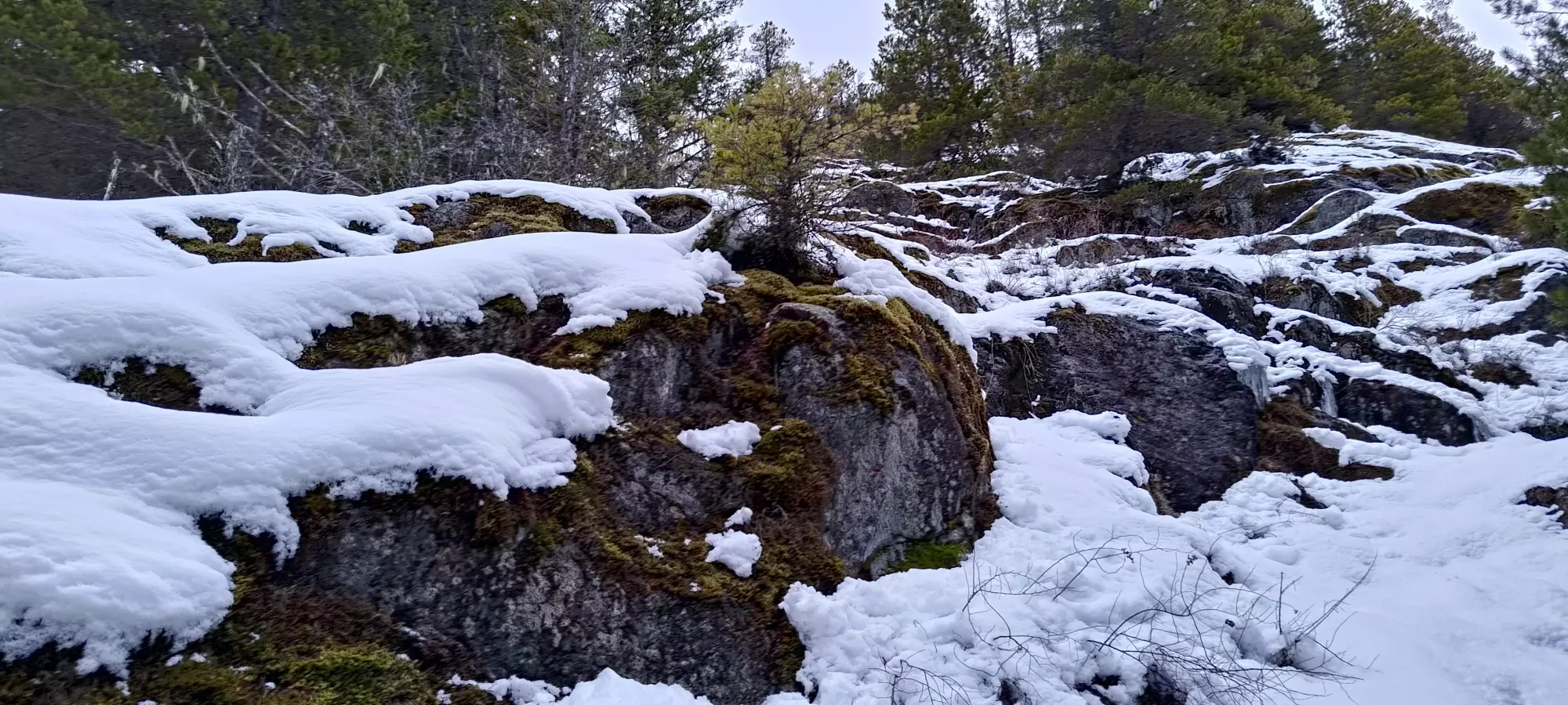
Shortly after this, the trail curves back to the north, and gets much rockier and slabbier, somewhat like the top of the Chief or Slhanay. I bet with a couple feet of snow, it'd make for some awesome pillow-drops, but with the marginal snow I had, it was more "masochistic skinning with a healthy dose of scrambling". I got past the first maybe third or so before I gave up and stashed my skis for the final scramble, and that was honestly more than I really should've, I just wanted to see how far I could push on skis before it was just completely untenable.

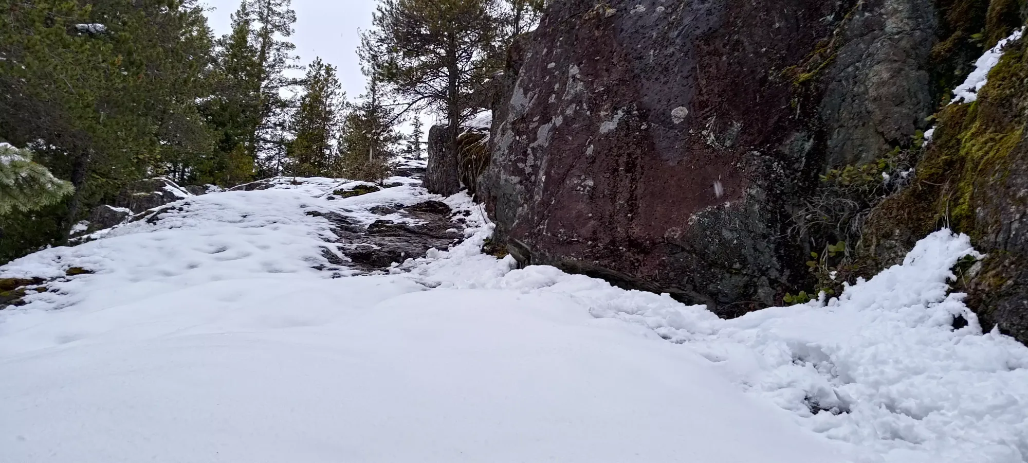
After ditching the skis, I had a fun time scrambling up the wet, slabby rock in plasticky ski boots. It would be trivial scrambling if even that in shoes without snow, but with much less precise ski boots and snow covering a lot of the terrain, it was a careful process to avoid sliding down the slabby rock. This section was at least short, and I got myself up to the viewpoint in just over an hour.
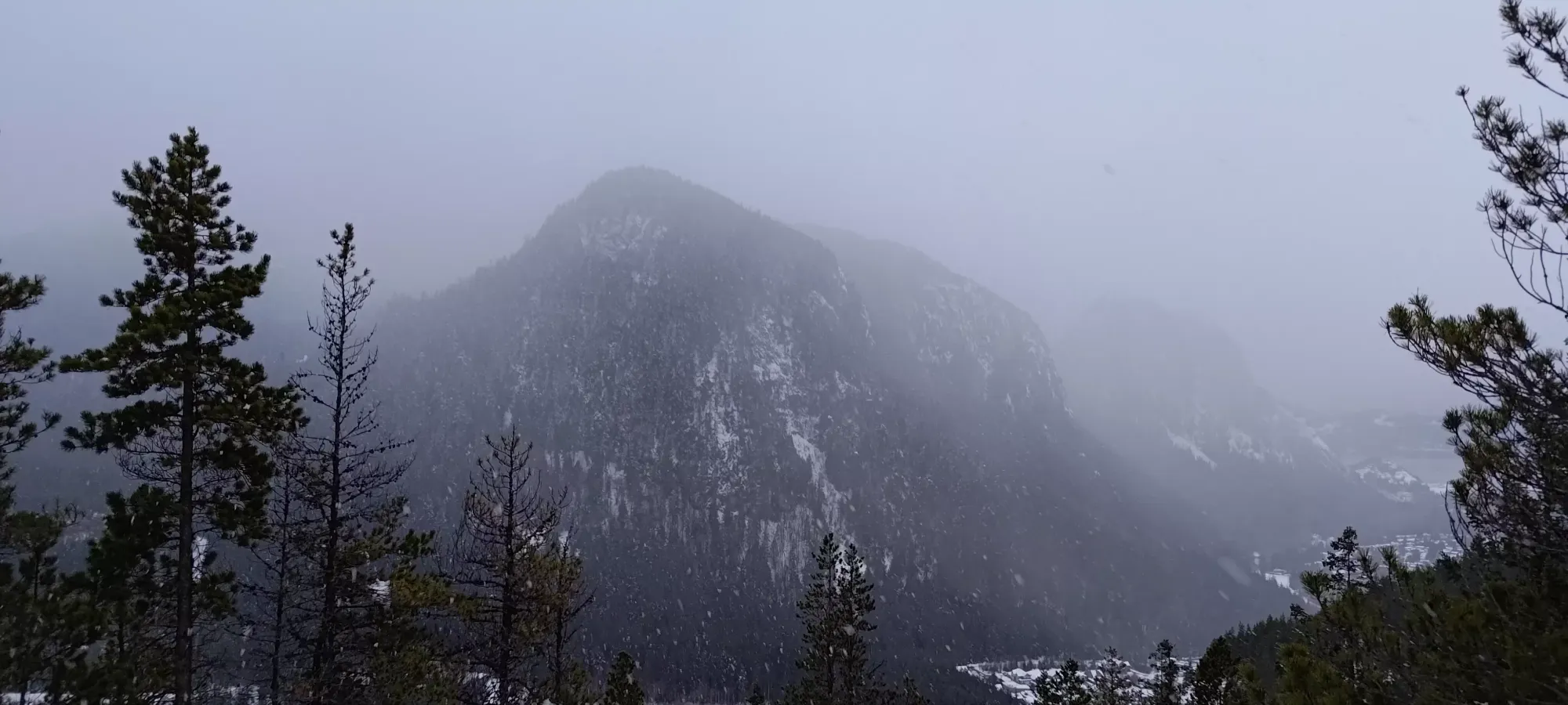
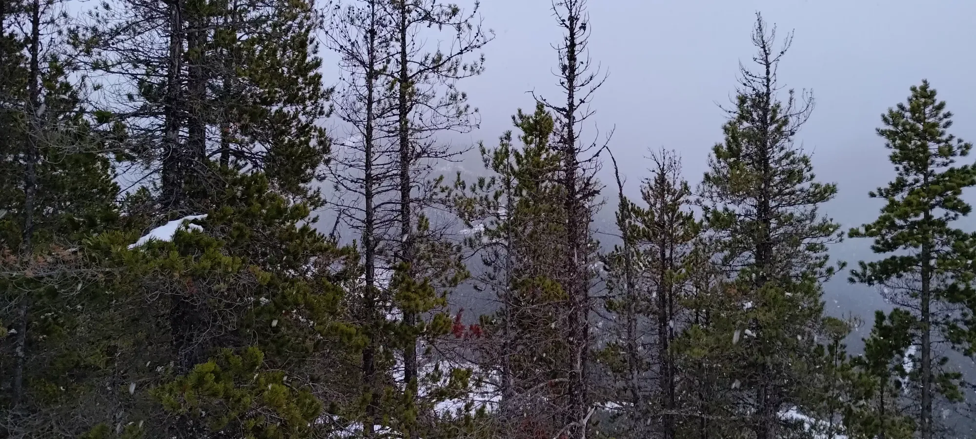
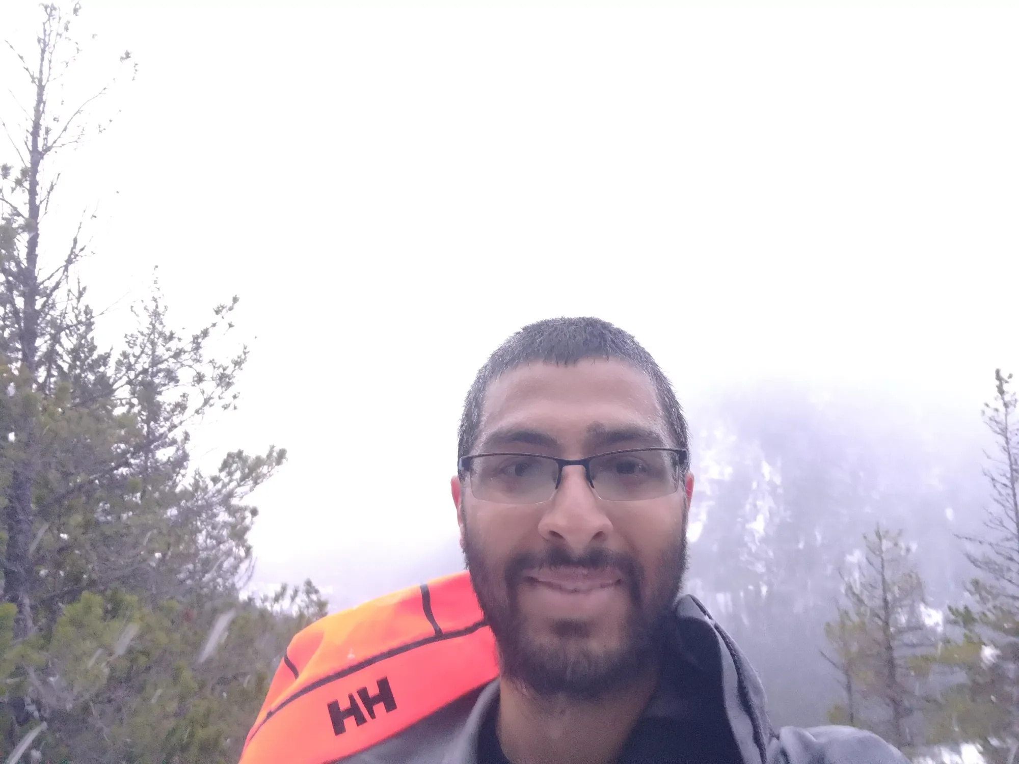
After that, I went a bit further in to the true summit, which was a couple metres higher, but with no real views to speak of. I snapped a couple photos there as well, then headed down to my skis, hoping to get some turns in while I could still see the surrounding terrain, because once it got dark, with the snowpack being what it was, there was no chance I was going to go more than a metre off the skin track.
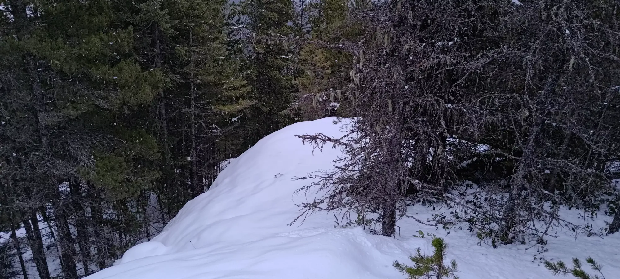
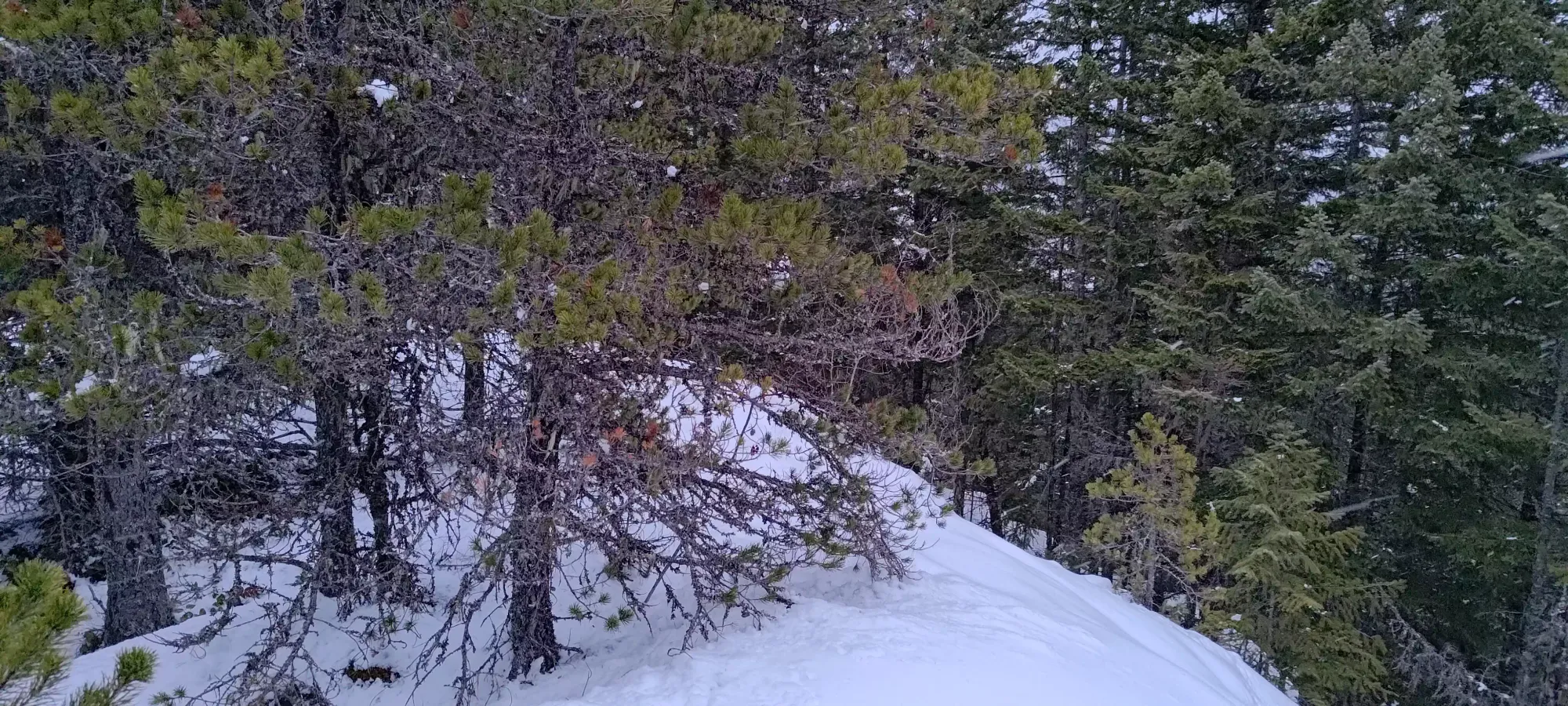
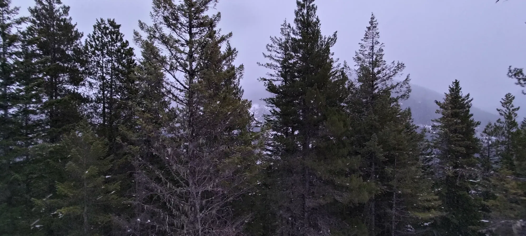
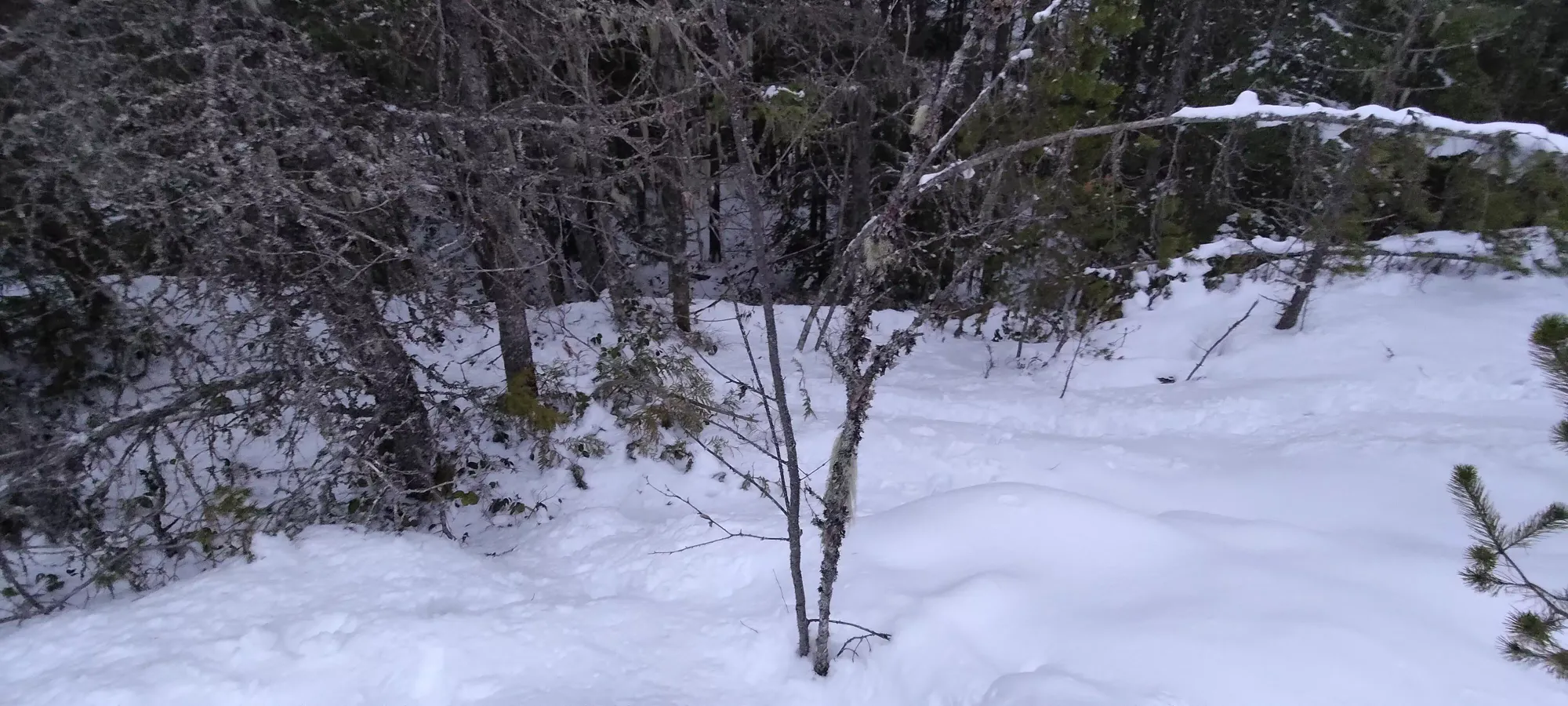
After a careful scramble back down to the skis, I walked them back down the hill past the deadfall, then ripped my skins and clicked in. For those wondering, yes, they were my rock skis, I definitely wouldn't try this with anything I was planning to keep intact. I followed the skin track down as best I could, as coverage up high was seemingly even worse than down low, probably due to being a tighter trail and the steeper slopes not holding snow as well as flatter ground.
Unfortunately, as best I could wasn't really very good. I went a few metres at a time, tripping and falling a good few times, until I had a tight trench I skinned through on the way up to contend with. I originally tried just staying to the side, but the snow was much too thin, so I tried skiing down, but it was far too tight, and my skis just got wedged, and I fell a few more times. Around the 6th or 8th tumble I decided "I got a couple turns, technically", but it was not really fun skiing and it wasn't very efficient either, so I packed the skis up, and starting booting it down.
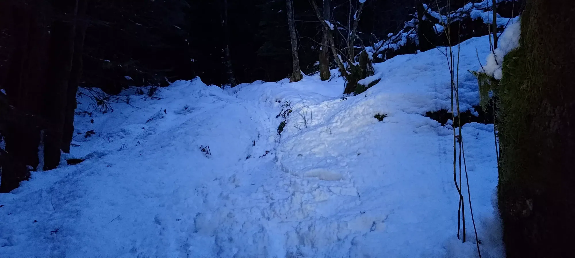
The bootpack was pretty uneventful, as this is not a difficult or long trail. On a couple of the better-covered sections below I skied the track just for the sake of it, but those weren't really turns as much as "well it is still skiing, technically". Being on the already-compressed track made avoiding sharks and not just scraping the rocks/roots below a lot easier, though, and I managed to not core shot my skis, surprisingly. A somewhat amusing side effect of all the transitioning and tedious skiing was that the uptrack and downtrack were basically the same amount of time, and I got back to the car 2 hours after setting out, with just barely enough light that one could get away without a headlamp (though I did take mine out when I initially stashed my skis for the first time, for extra visibility while on skis).
So, overall, a successful trip in the sense that I did bag the peak, and that I did technically use skis for the way up and the way down. Less so if one was expecting the skiing to be anything but unpleasant survival skiing with a good amount of wincing for the bases+edges every time I punched through the snow. Honestly, I probably should have kept the skins on just as a layer of protection. Oh well, that's not really what the point of this trip was, anyway. I can now say "I (kinda) skied Crumpit", and not many can say they have even attempted as much. So that's... something.
GPX Track + Map
