Coquihalla Mountain - September 30 2022
Not quite the triple-bag we hoped for, but we did take a rather unique route, and a p600m peak is still nice to check off
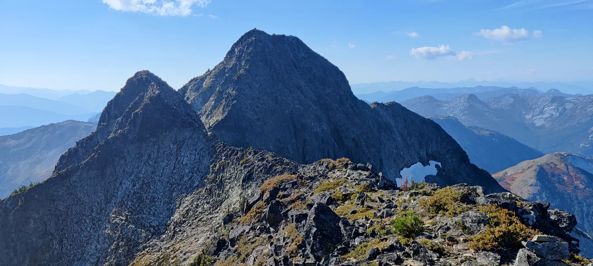
Bedded Range, Tulameen, British Columbia
2157m
Well this was quite the trip, and not just because of the mountain itself. The journey began at the beginning of the week, when I brought my car in to get my new tires mounted (bit hard to do oneself), and since I was due, get the oil changed while it was up there. I got it back, drove home, and parked. Fast forward to the day before summit day, and I was about to head down to Logan's place in Vancouver to make the drive a bit shorter on the day of. I remembered that I was low on antifreeze, so I popped the hood to top up before heading out since my car had been idle for long enough.
Strangely, the hood latch was wet and slippery, so it was a bit hard getting it open. Once I did, I found my hand rather greasy, a plastic cap in the area where the latch catches, and oil all over my engine bay. Not great. A call to the dealer and some time later, I got a loaner, we pushed my car out of the garage and onto the road for them to work on whilst I was gone, and I got to Logan's place unfortunately much later than we had planned. We grabbed dinner and went to bed a bit later than w were hoping, but at least we didn't have to cancel, which almost happened. Or the worse "driving with no cap on my oil and breaking down on the side of the highway", which I'm just lucky didn't happen.
Anyway, fast-forward to 6:30 the following morning and we set off from Vancouver. We stopped for gas+breakfast in Langley, once more in Hope for a bathroom break, and got to the trailhead a bit after 10:00. Sadly, it seems an RVer had decided for everyone the road isn't driveable, and was blocking the road. Not cool. I could've probably sneaked by beside them, but it also was narrow, and I couldn't justify pinstriping a loaner. We then decided that FSR walking is boring and it would be more interesting to drive down a branch we saw just north which seemed to run parallel, and see if we could connect with the trail since they were so close.
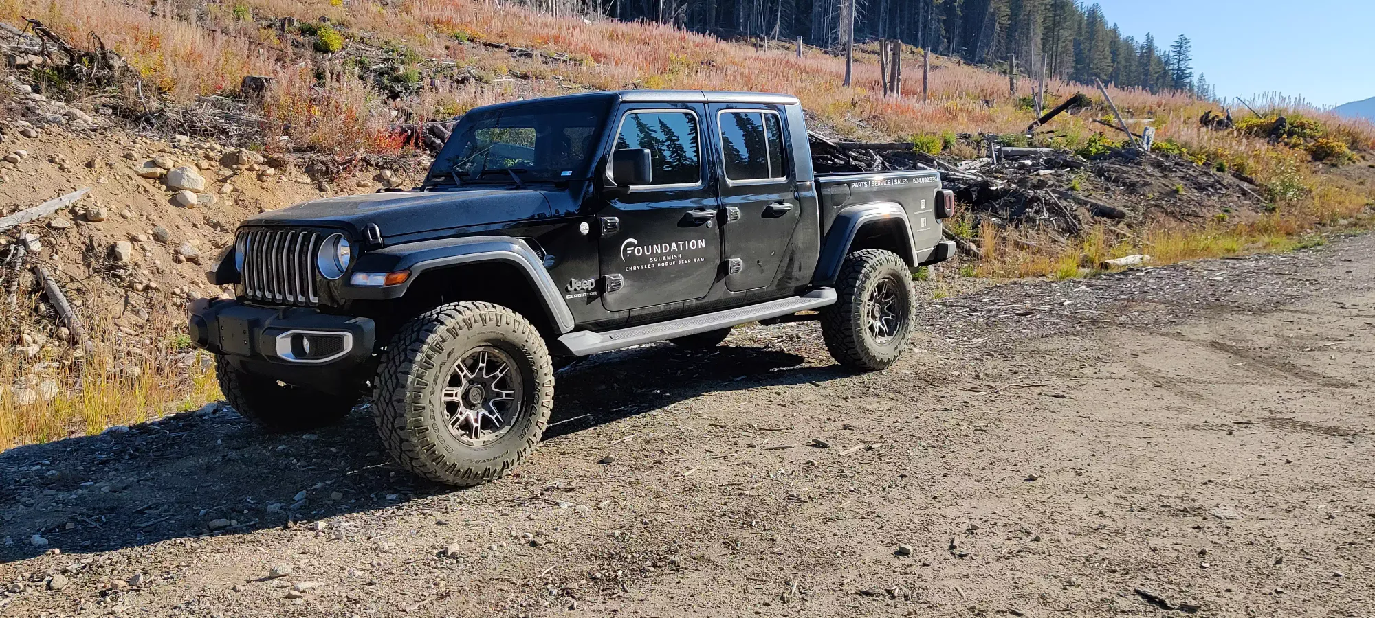
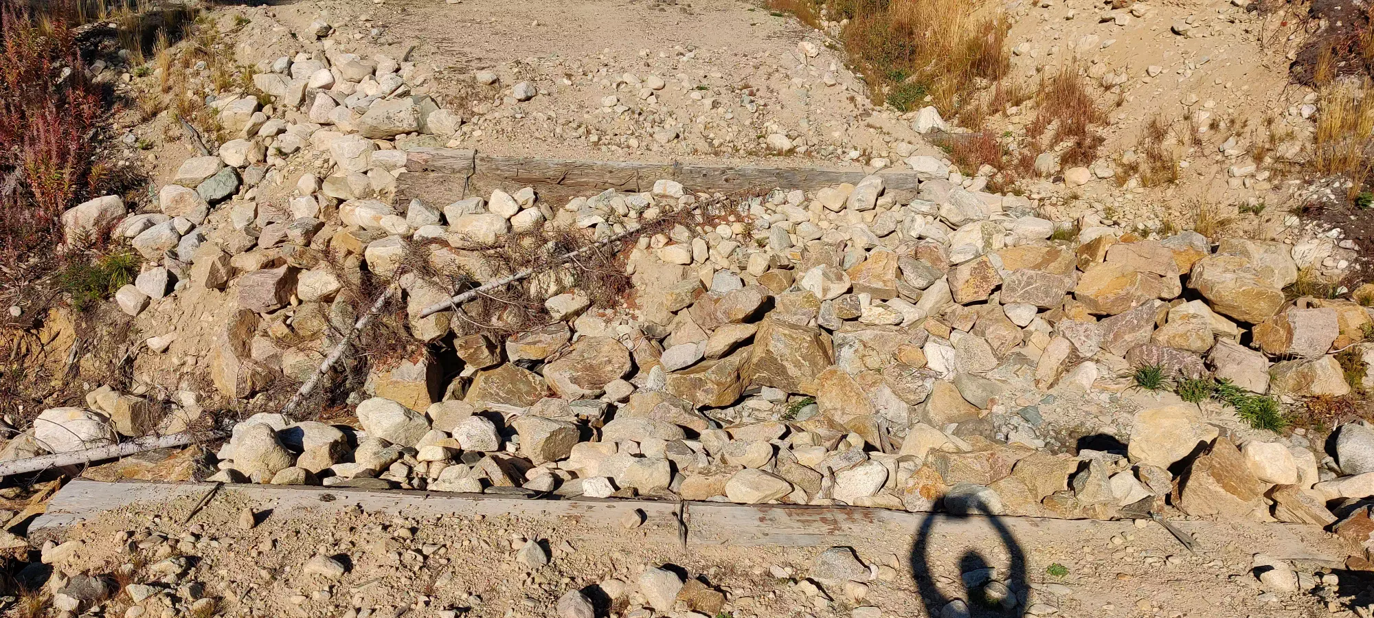
We drove for about 1.5km until we encountered a very large washout, apparently bad enough that someone laid a bunch of logs on either side and put up danger/caution signs. It was, indeed pretty rough. MAYBE a long-wheelbase vehicle with >35" tires, full protection, and lockers could do it. But it would not be a fun time. That or maybe an ATV/UTV along the upper side where it is a bit less bad. That was a bit of a bummer, but we figured it was still better than not getting anywhere. So, depressingly without getting a chance to really "use" the Gladiator my dealer loaned me (especially knowing I was getting reamed on gas for it), we had to park and we set out at 10:25.
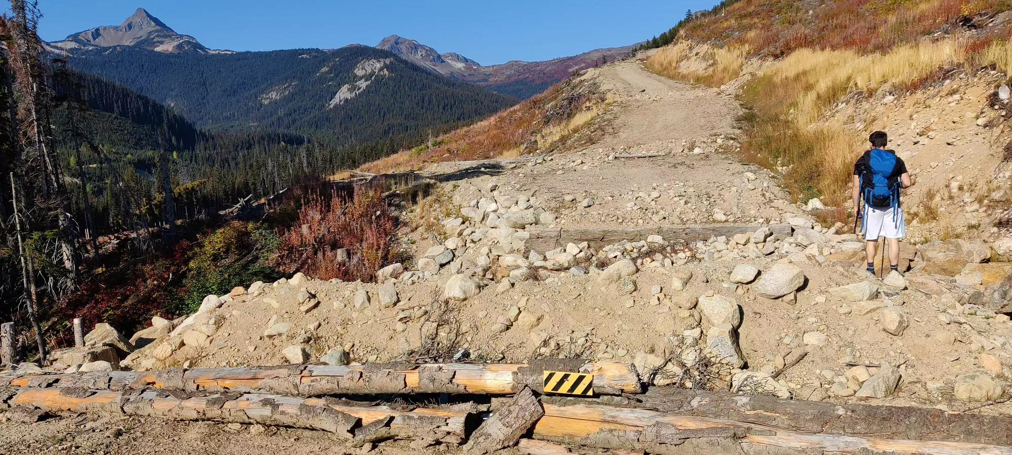
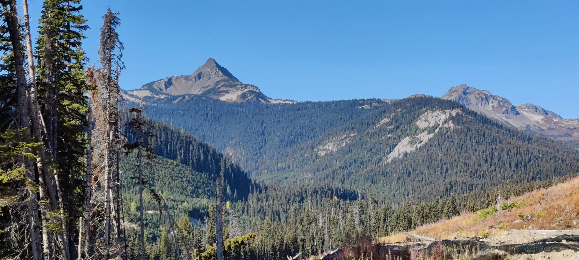
Of course, because this trip was just going great, we started descending the left-hand fork of the road (since that's where the actual trail was), and a few hundred metres in I realised that I forgot to switch from my sunglasses into my regular ones. So I had to backtrack and swap em, wasting a few minutes and precious calories of energy. With that out of the way, I met Logan along the 500m spur, and we shortly encountered its end, and had to figure out our path to the actual trail. We could've attempted to walk forward along the path the road was following, but that would be a lot of bushwhacking distance just to save a bit of elevation loss, so we went with "cut left to head more or less directly toward the trail".
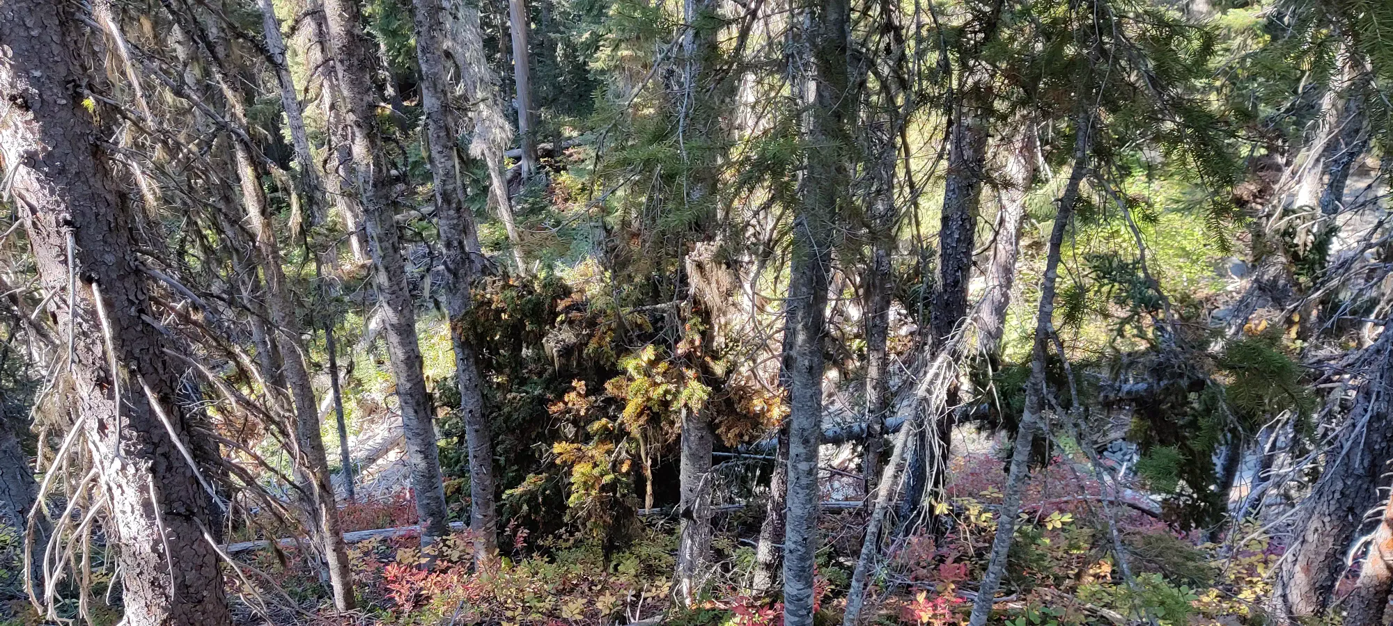
After cutting down, we followed what seemed like "a less dense gap in the trees" a bit more west than south (south being the bearing to the trail), but we soon realized that wasn't going to be an efficient choice, and we cut down once more.
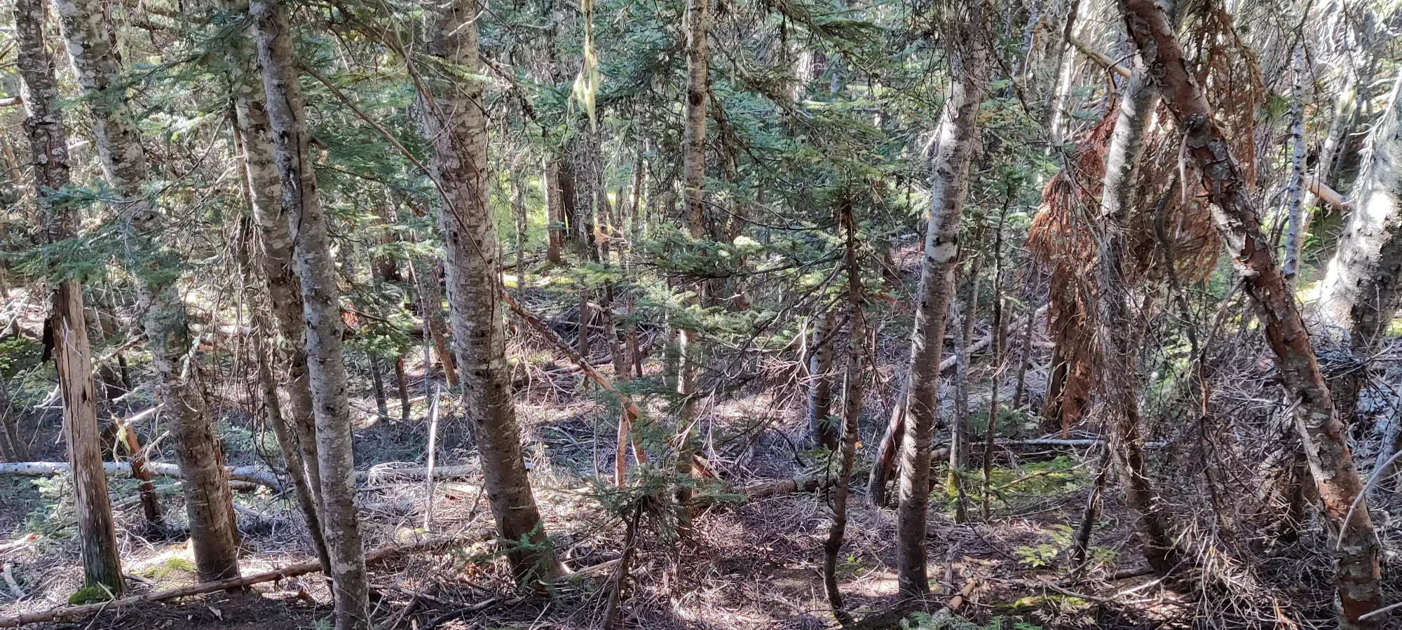
As we descended further toward Illal Creek, the bush got denser, and the ground got wetter, which made the going pretty slow. We eventually slogged our way out in about half an hour, or 11:00am.
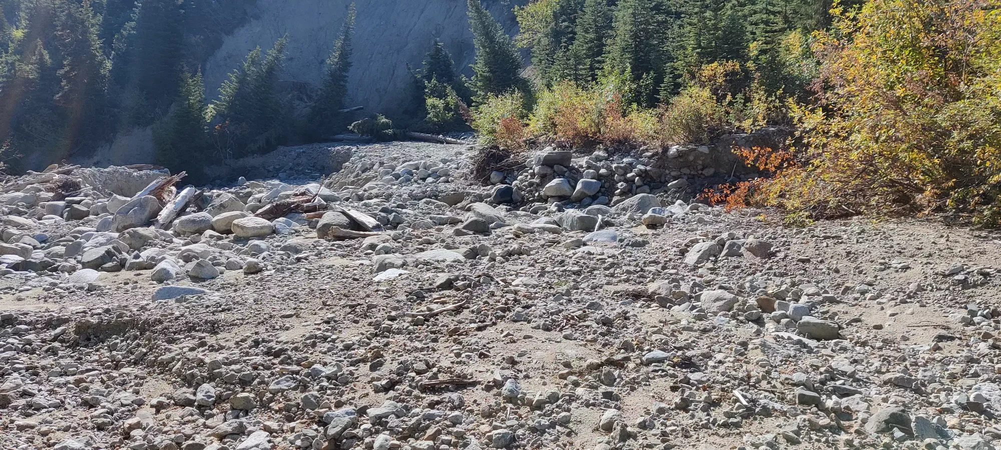
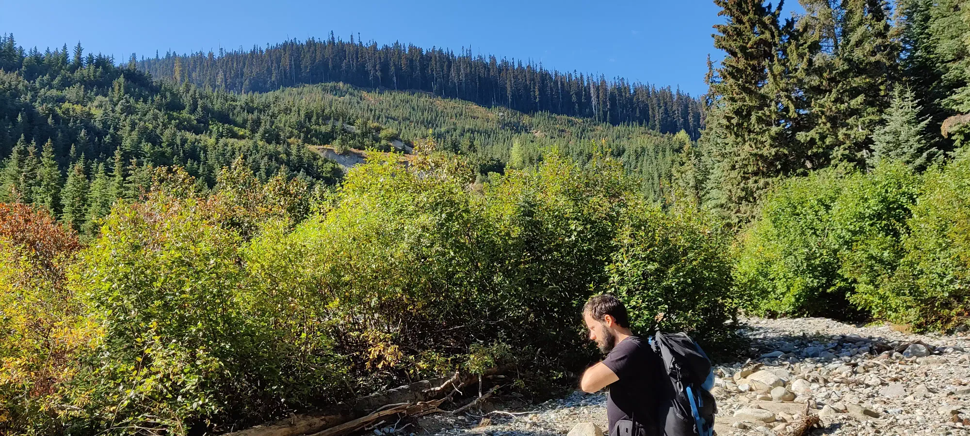
After walking up the creek for a few minutes trying to see if we could walk along the bed (it was running pretty low) up to the trail where they get closer, and deciding the answer was "no", we picked our egress point just across from where we came down.
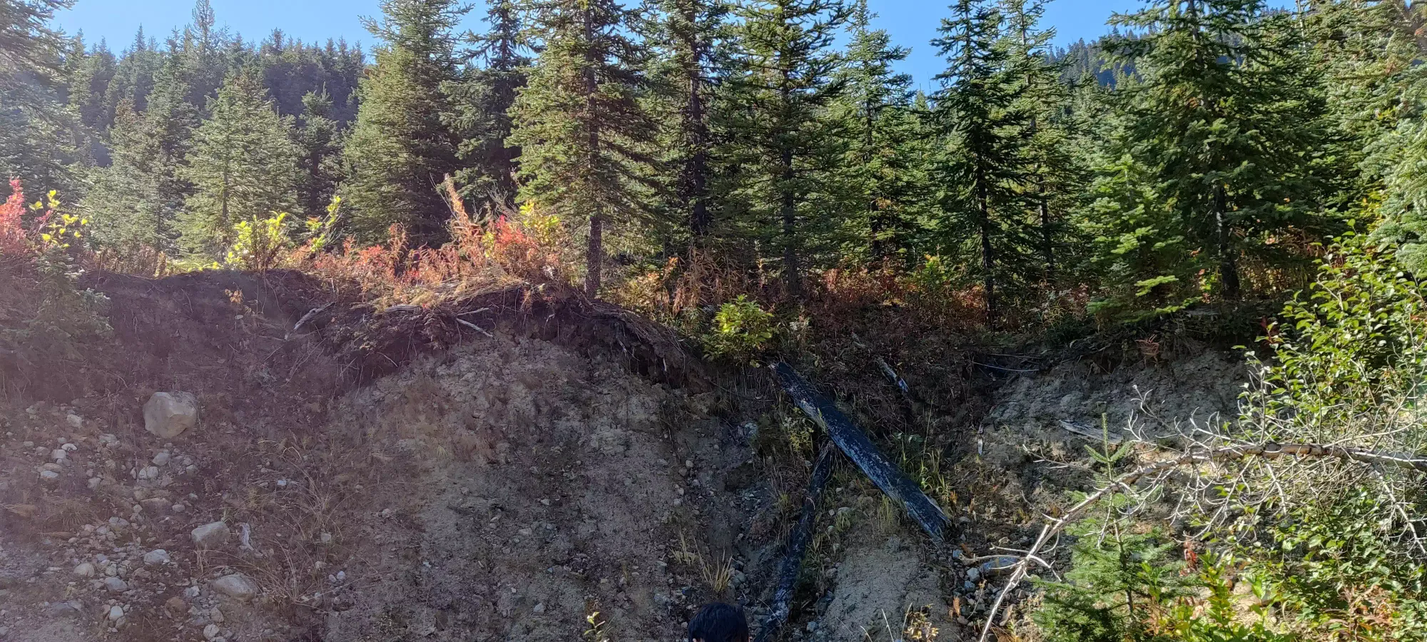
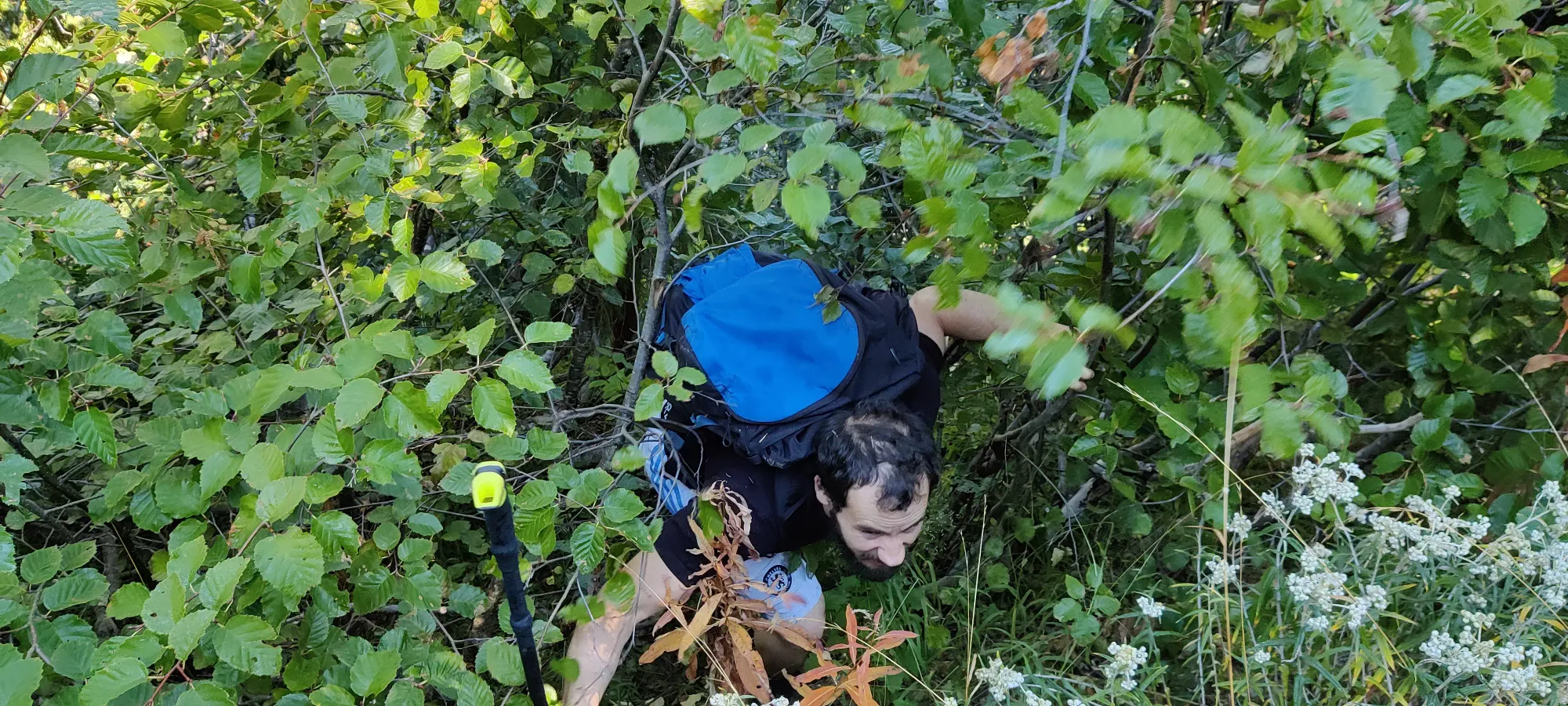
Unfortunately, unlike the previous primarily "treewhacking", this was much thicker bush, and also uphill. The going was pretty slow, and there was a lot of routefinding needed to get through without stabbing our clothes to pieces. This route could be efficient if you had tough clothes and no fucks to give about branches slapping you about, but it was less efficient than we were hoping. After slogging through increasingly steep and thick bush, we finally hit the trail at 11:15, 50 minutes after starting. Given this was only 2.5km past the original trailhead with not a lot of elevation gain, probably not the fastest choice. If nothing else, we were at least happy to have struggled for the sake of good beta, an unsurprising "don't try it".
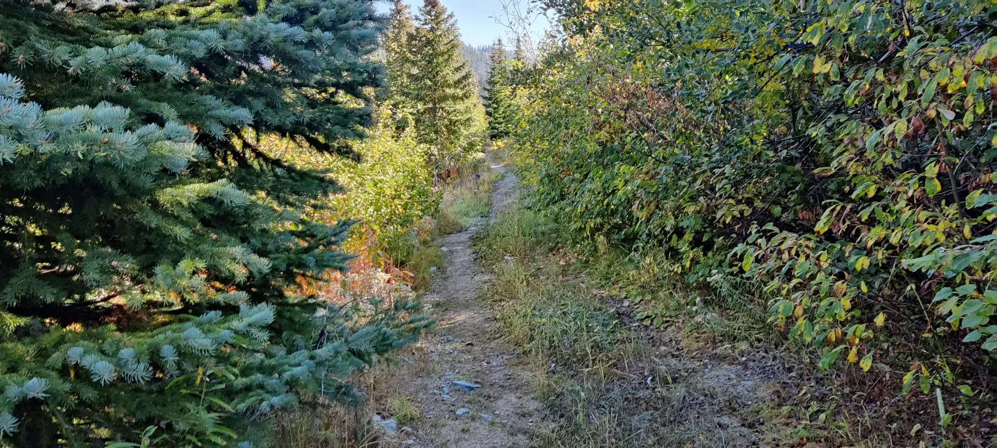
Once on the trail, it was a pretty simple affair. The trail is quite well-defined and excellently maintained, with only a few small rocks or roots in the way. We just chugged along until about 1500m, where I stopped for a brief picture to capture the rather beautiful fall colours, and quickly soldiered on given the slow start to the day, and the long ascent(s) ahead (the plan was to bag Coquihalla, then some combo of Illal and Jim Kelly after getting the main prize). We took another short break at noon (about 10 minutes later) when we made it to a short talus-slope traverse, where we stopped to document the terrain change, and say hi to a group of hikers we saw at the parking area in the morning (solidifying how poor of a choice our initial route was).
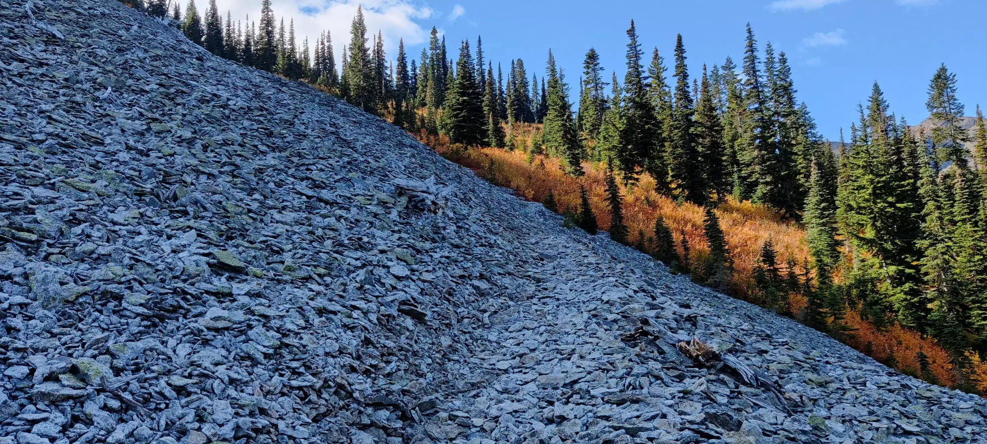
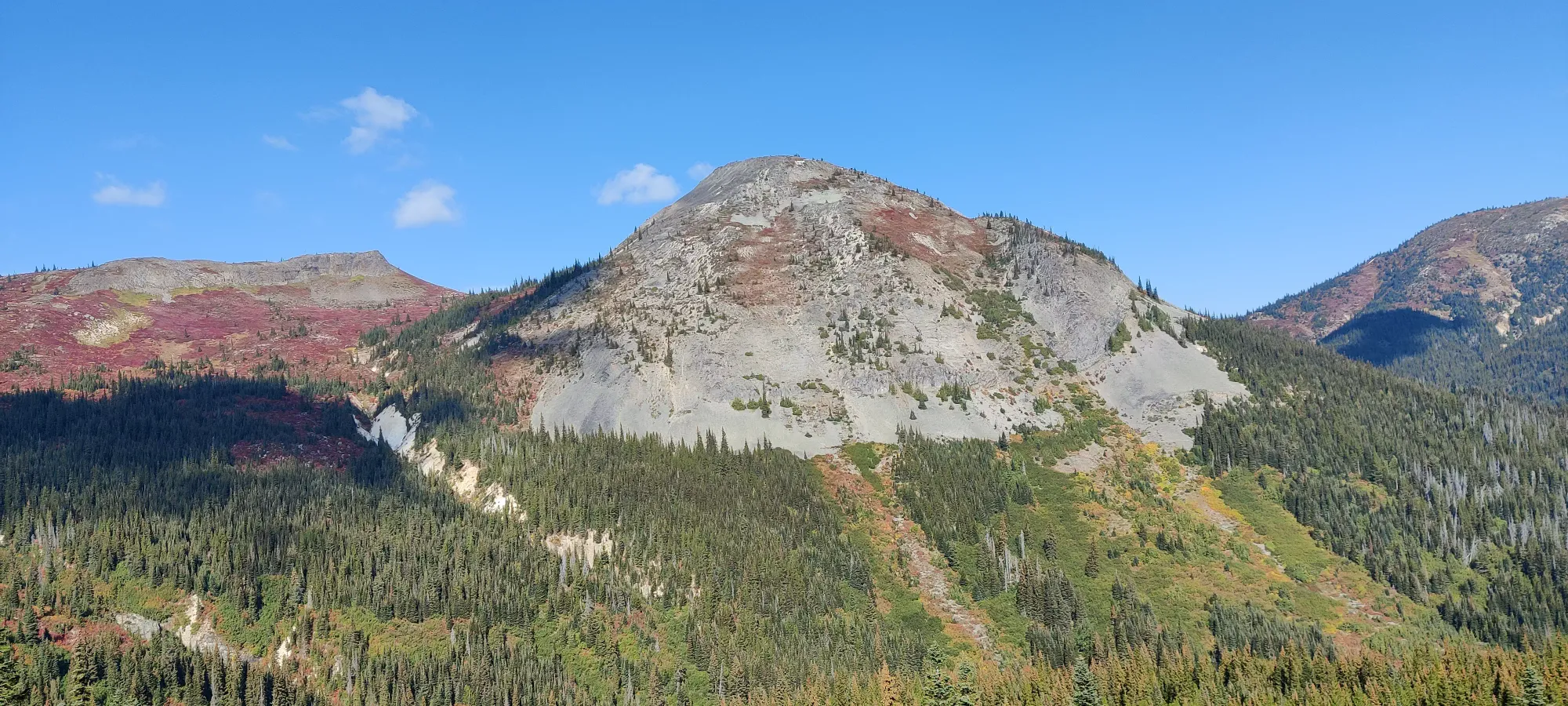
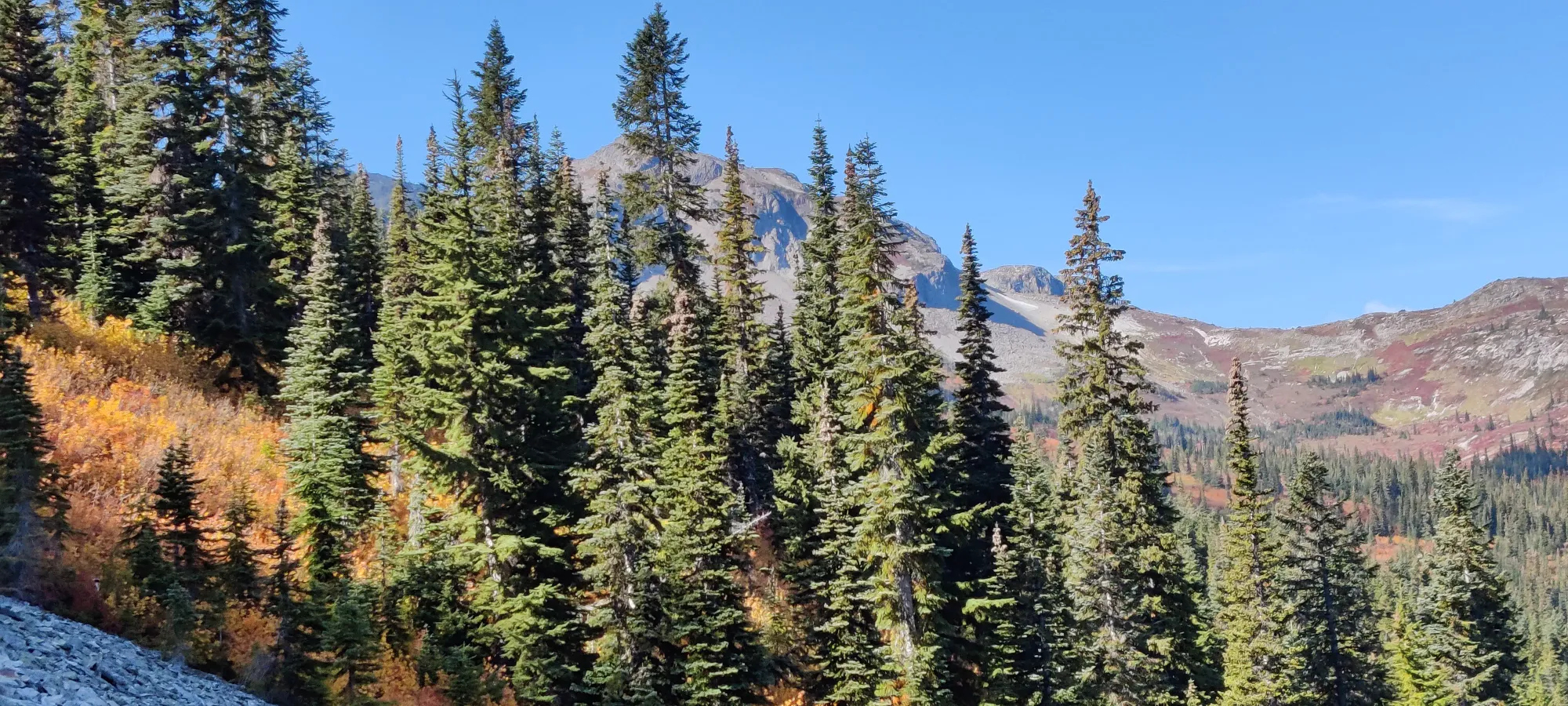
About 40 minutes of still-excellent trail later, we entered the upper meadows just above 1800m, and got out of the trees. There were some excellent views here, for sure.
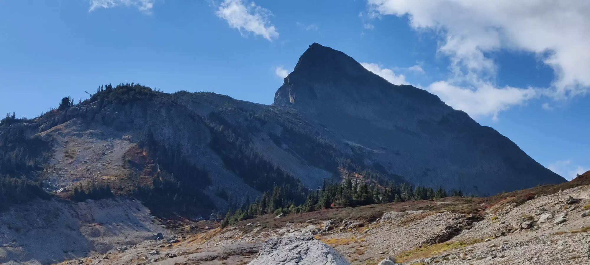
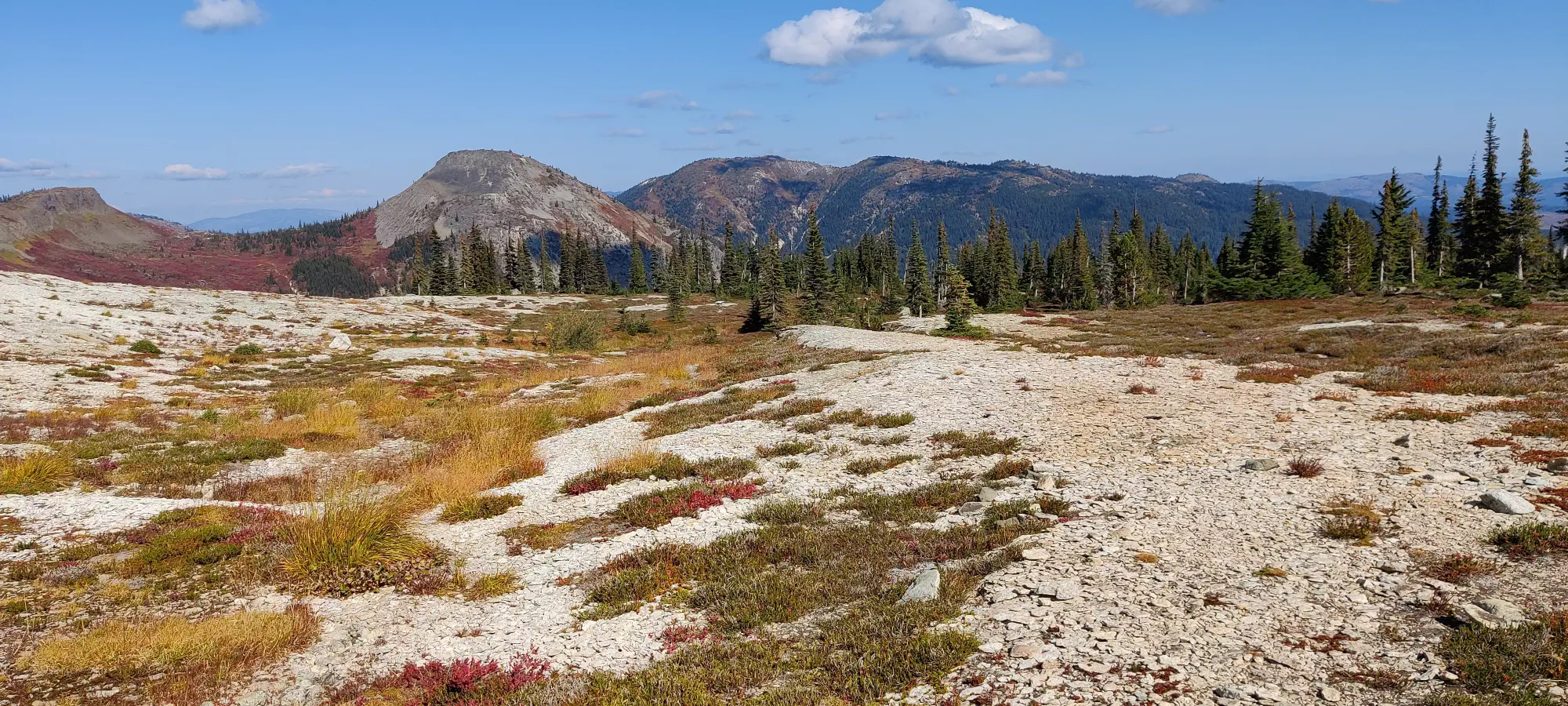
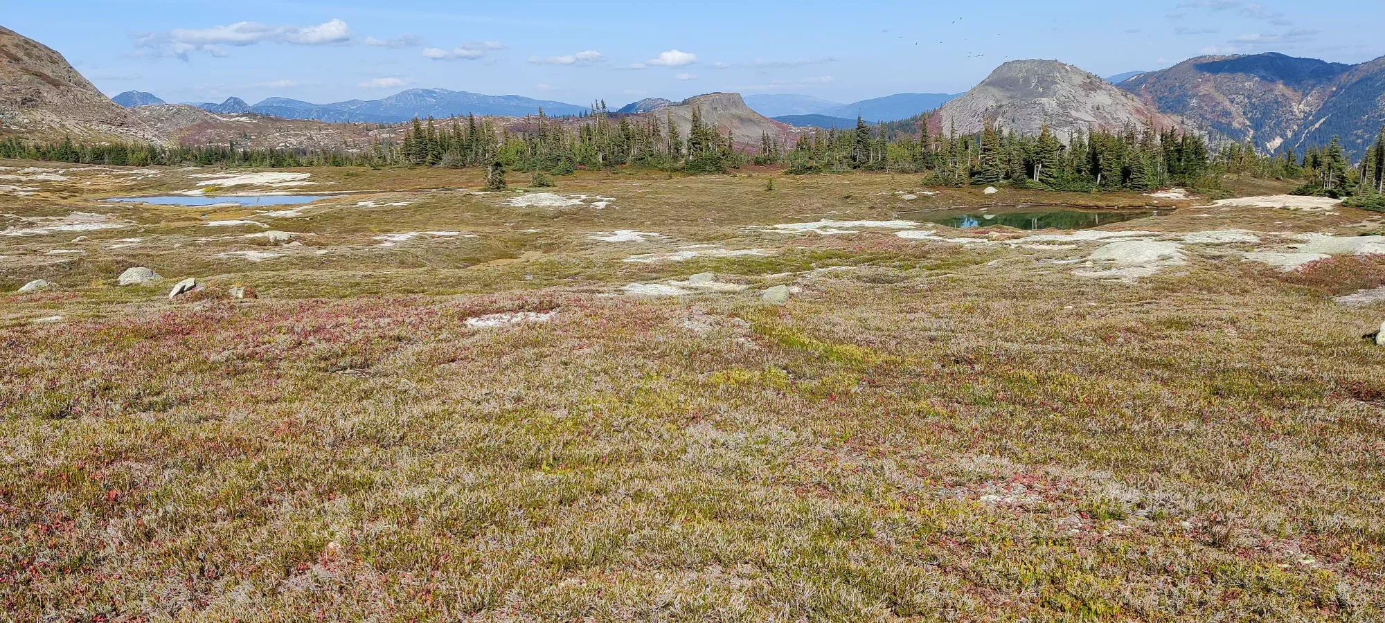
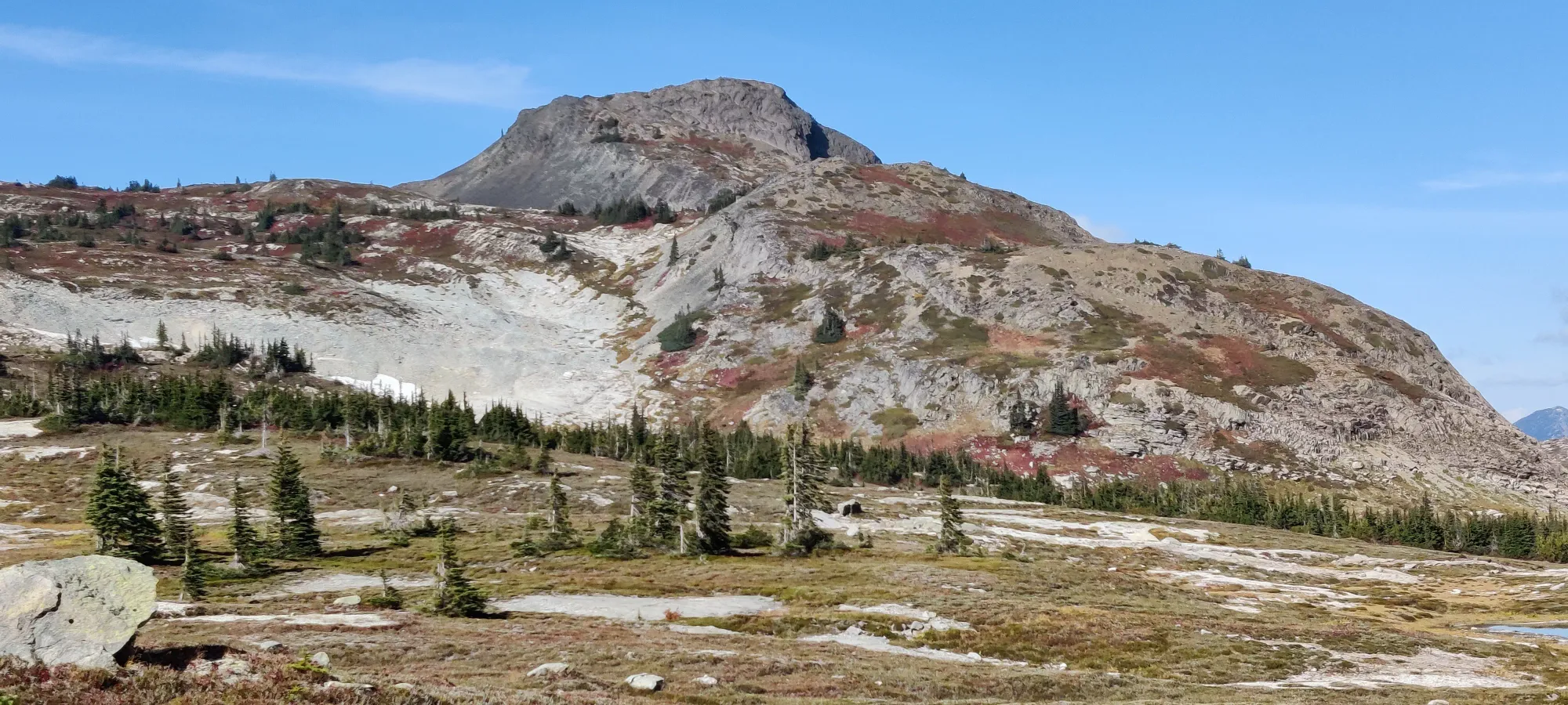
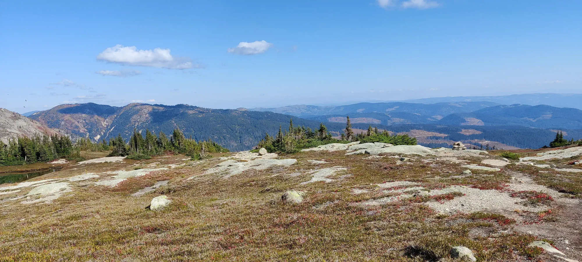
We talked to a couple of guys who were camping in this flat area for a bit, then headed through the network of mini-trails to get toward the fork for Coquihalla itself. This is a pretty flat area, so the biggest challenge here is just taking the right forks. We soon found a very colourful descent path down to the low-point before the summit push would begin.
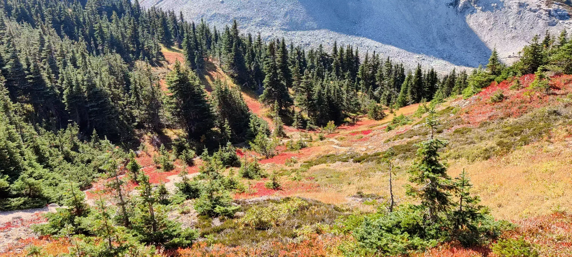
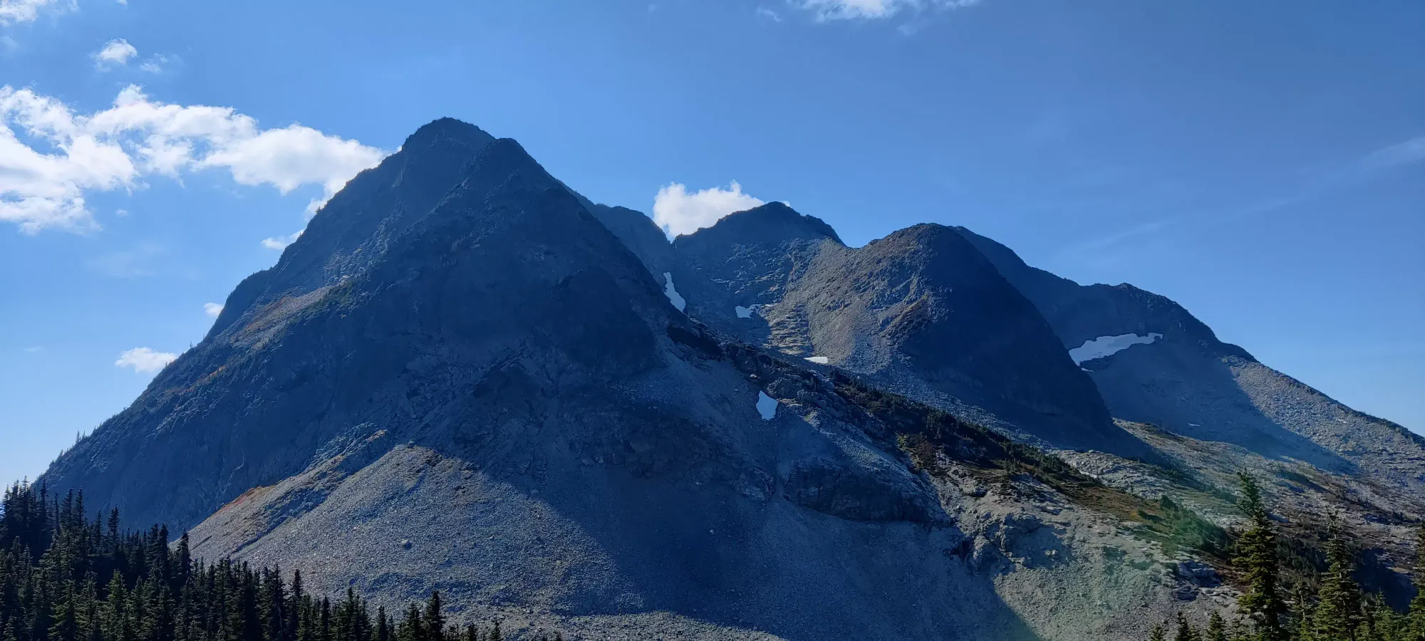
This is a pretty quick endeavour, and other than a couple rather steep dirt sections my far-too-worn shoes weren't the biggest fans of, it was over quickly, and we arrived at the base of the rocky massif at 1:20pm.
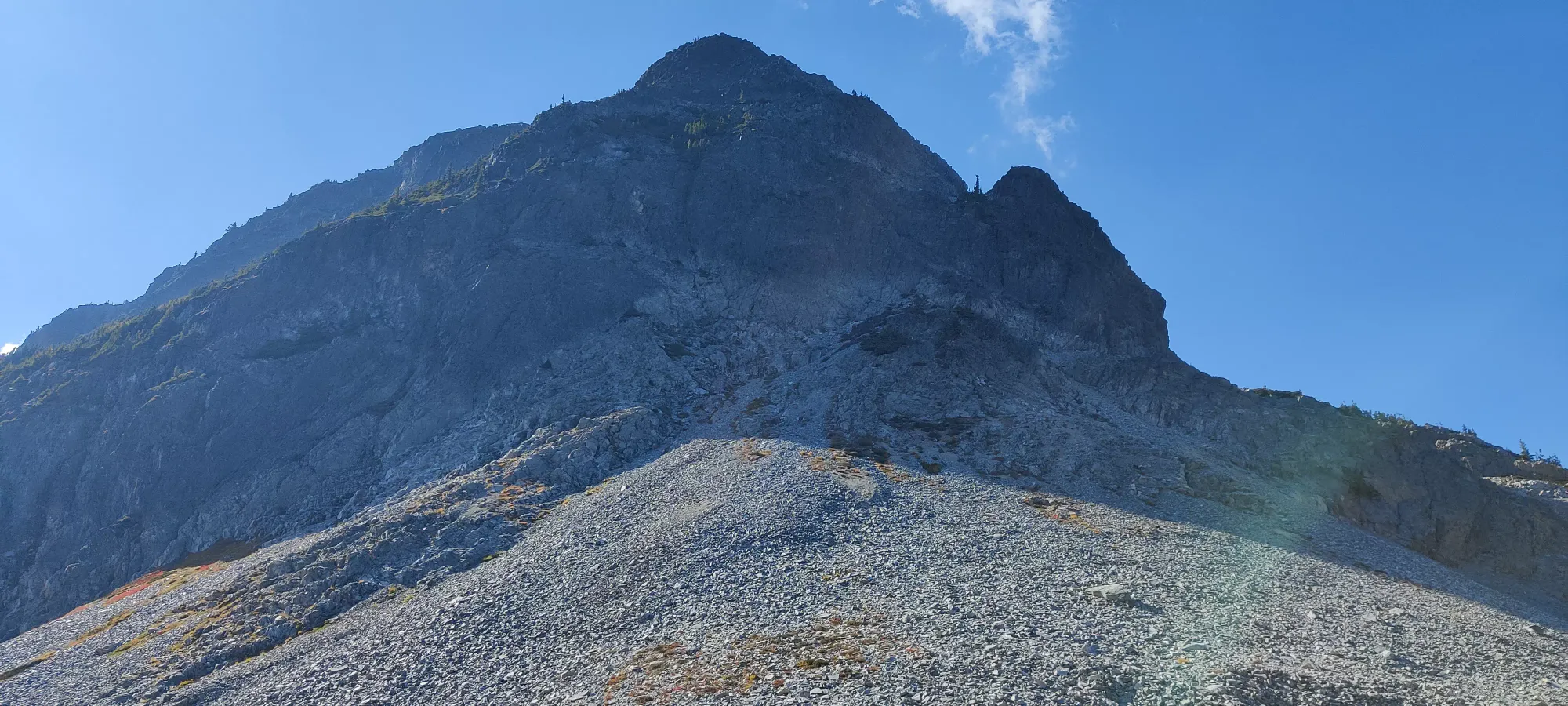
The official trail (or, at least, the 2 GPXes me and Logan had downloaded) goes straight up this talus face, and then traverses the ridgeline up and down the false summits all the way to the end. This sounded not great to us, so we decided to modify that plan slightly. Instead, we cut across the slope to climber's right at a more gradual angle, and aimed for the rocky ridge instead, hoping the terrain would be better to go up that way instead of right up the chossy crap.
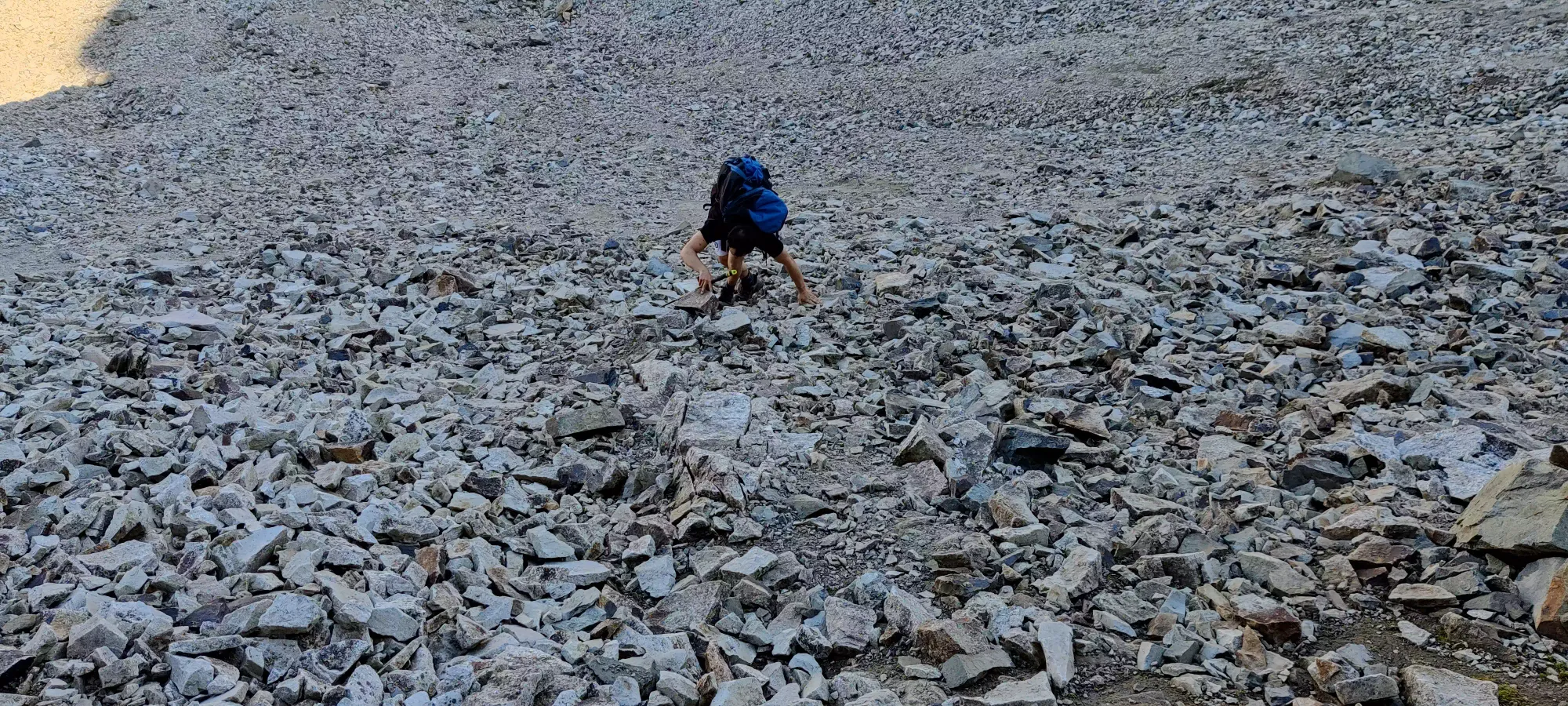
This worked pretty well, especially when I decided to head straight up to a rock face and traverse on a small ledge across it instead of straight-up sidehilling on the debris instead, which was much more pleasant than Logan's more direct approach. Once we convened on the ridge, we saw that the tracks we were following would make us ascend a rather annoying scramble to the first false summit (especially so from this side), but that would result in a bunch of loss+gain going across all the bumps. Instead, we aimed for some softer contours around the summit ridge, hoping to cut up to the ridge bypassing a few of the sub-summits, and therefore a lot of undulating ridgewalking.
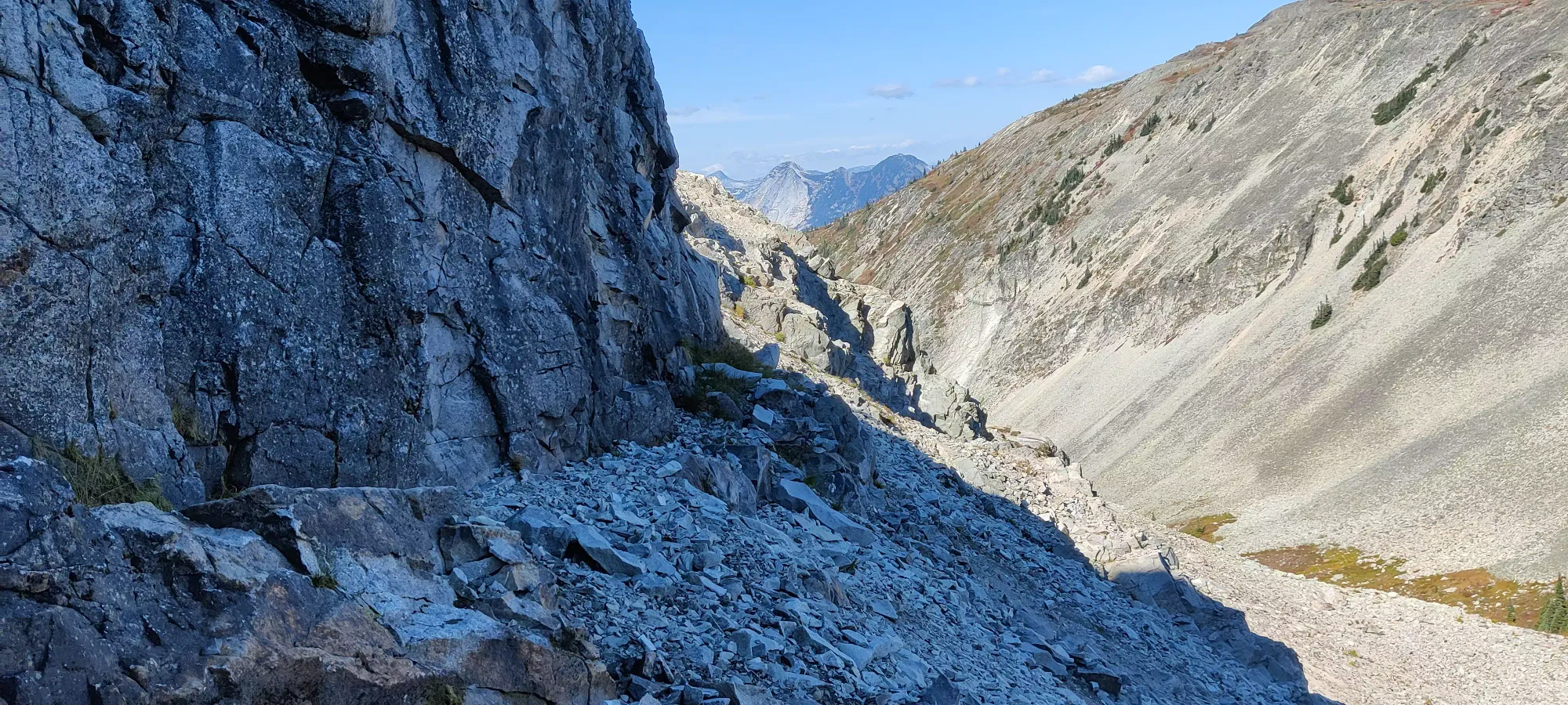
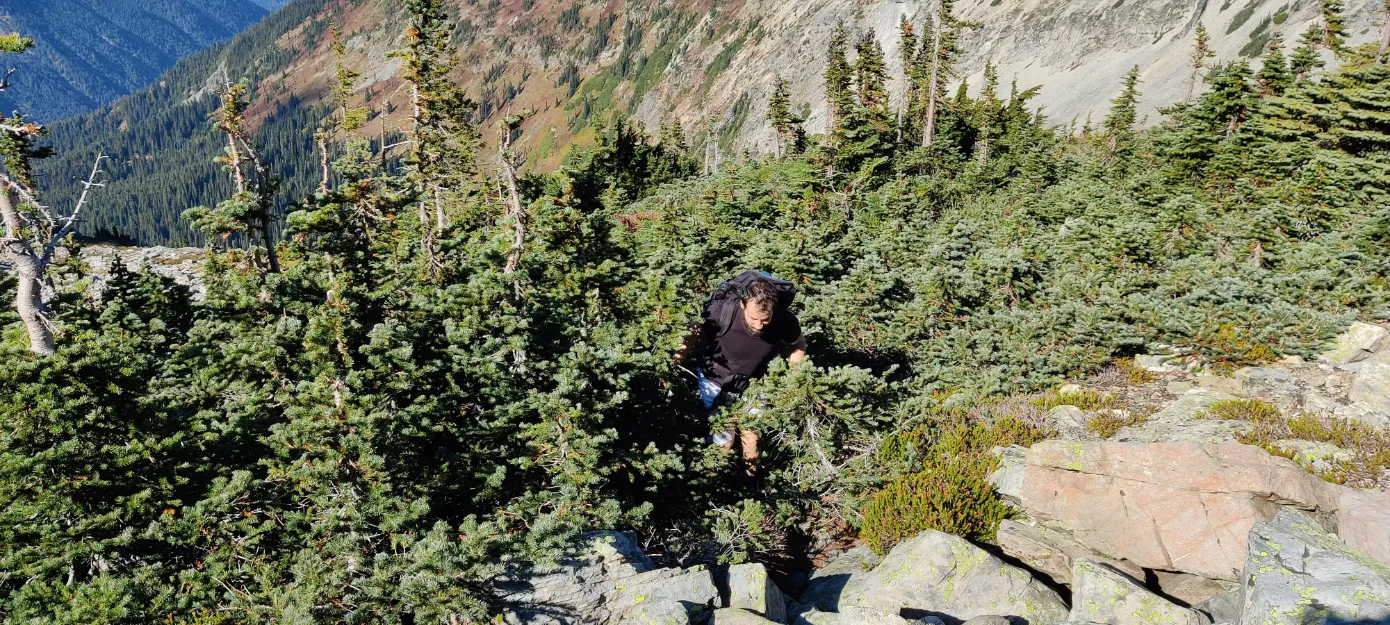
This brought us across some shrubby slopes for a while, and eventually through a short bushwhack, which was thankfully brief, if dense. We exited the bush just before 2pm, at the base of a large rocky bowl with a big snowpatch in it. At this point, we agreed it was unfortunately unlikely that we'd be able to bag the trio of peaks, and instead we'd have to settle for "doing Coquihalla in an interesting way".
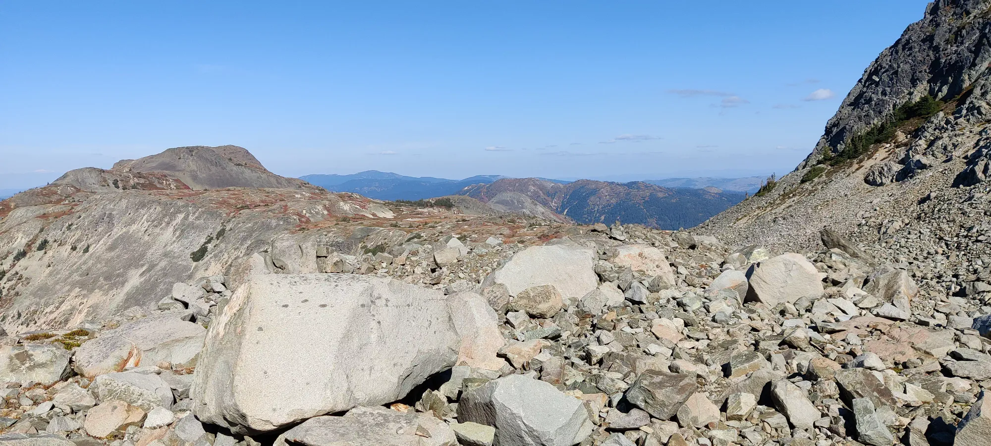
With a couple minutes of climbing up some rocks and walking across a boulder field, we were deposited at the base of a steep scramble up to the ridge. To our left were the peaks we bypassed and a steep face with rather loose-looking rock. In the centre was a low-point notch with a steep and sloping snow patch coming down from it that probably was a glacier not-that-long ago. To the far right was a loose and steep talus slope, and between those two a still-steep but slightly more ledgy slope, so that was decided upon as our way up.
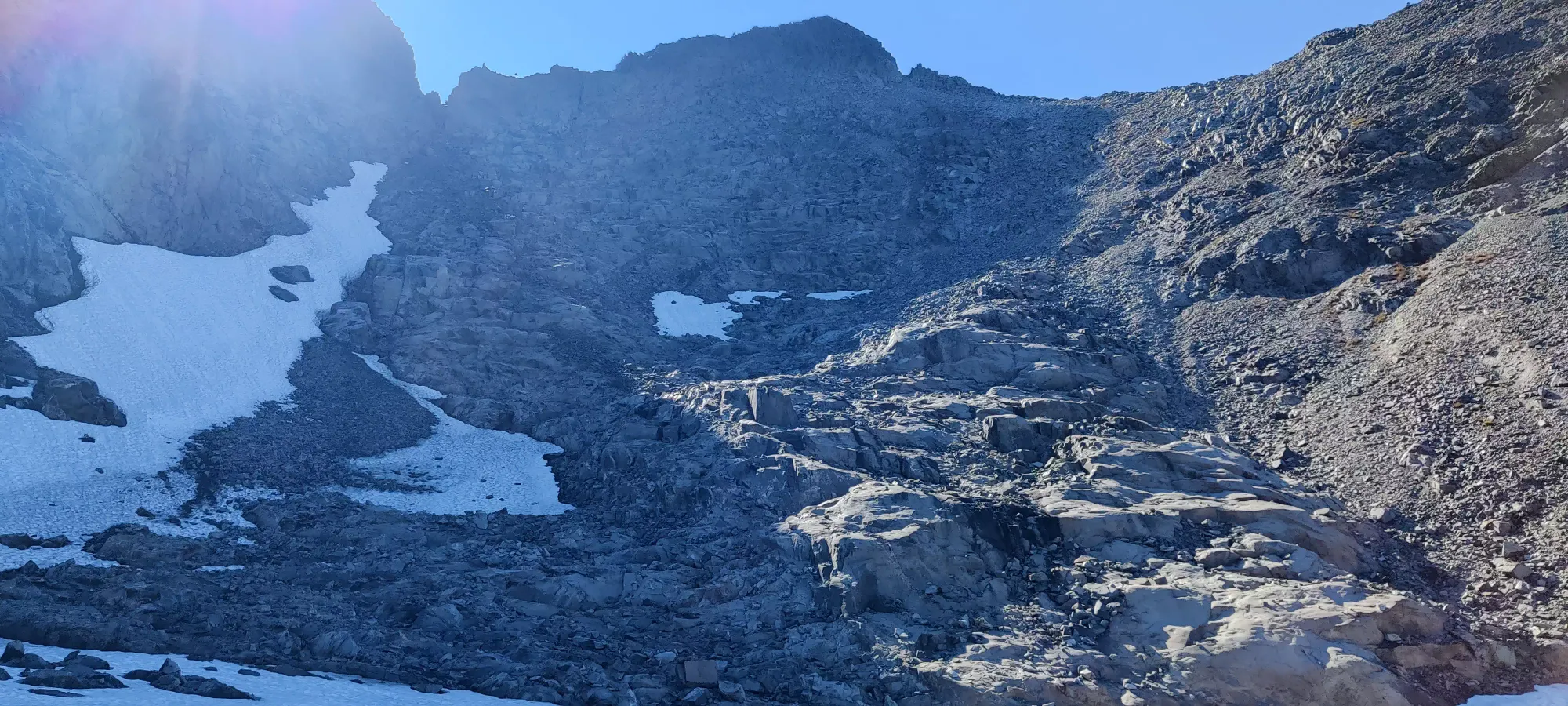
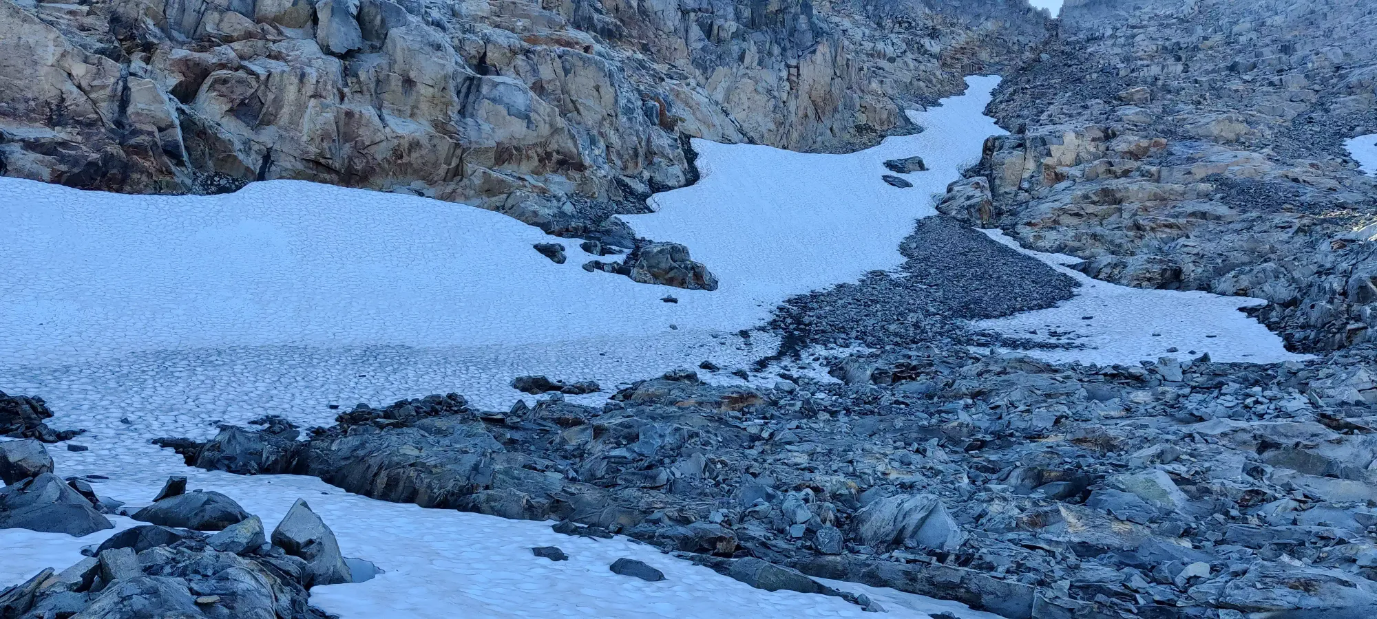
The way up was mostly a mix of large solid outcroppings, loose talus steps, and ledges cut into the face. Not perfect, but not terrible, and with the exception of a few sketchy spots where we had to be careful not to bury our ankles or each other in rubble, we went up in decent time. It was mostly just class 2 scrambling with some uphill walking and a few class 3 moves to get up most of the bowl.
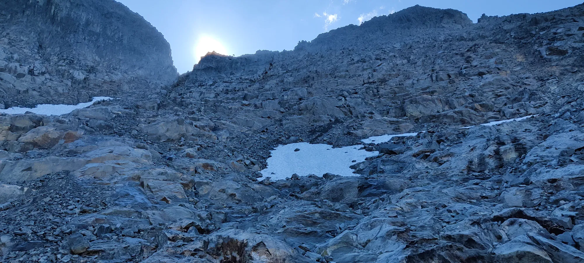
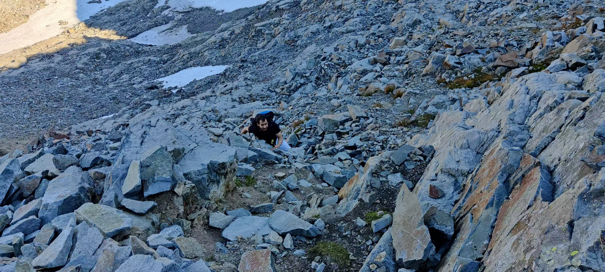
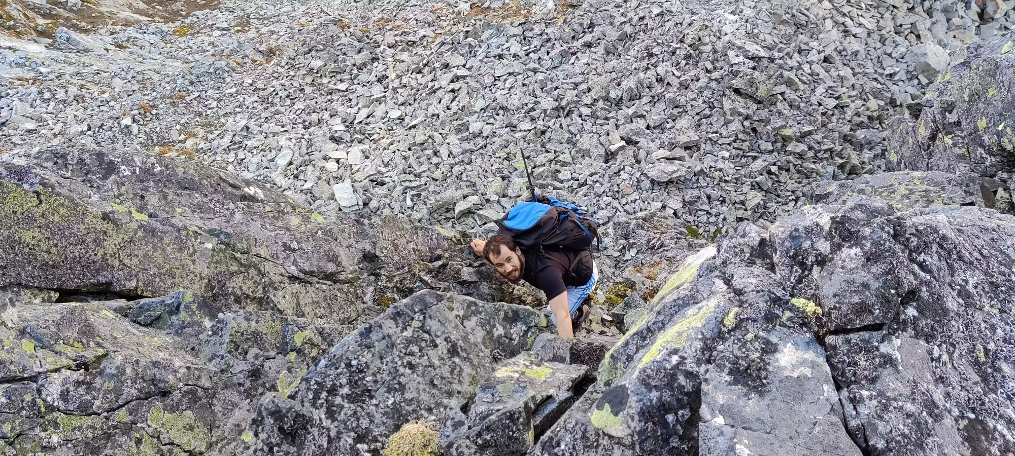
At about 2:30 we topped out most of the bowl, having aimed to join the ridge between the far-right subsummit and the high point right of the notch. However, we were a bit below the ridge itself, with a rather sketchy looking scramble to get up to it. This is where things got a bit dicey, and we started getting flashbacks to Mount Niblock.
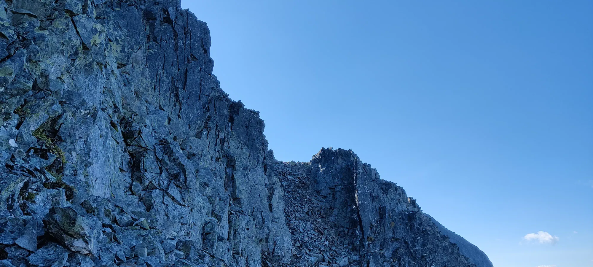
There were a couple little not-quite-chimneys, more so just "vertical indents in the face" that looked doable, so I chose the best one I could see, and started scrambling up (after putting my poles away). The holds were well-spaced enough and shaped nicely, but the problem (and the reason this felt so rockies-esque) was the stability. Almost every hold moved or tore right out of the face, and I had to resort to my second or third choice before I found a stable rock. It was a bit annoying, and would've been worrisome if it wasn't just one short section, but I got through it. There was one hold which, when touched, shifted a much larger boulder above that could've done some damage, but I managed to steady it, and Logan cleaned it on his way up once he passed it. The top of the sketchy bit had a couple moves that were a bit more committed, so combining that with the exposure and rock quality, I'd say this is class 4. Thankfully, after maybe a dozen moves you can top out onto a safe ledge, and the rest is class 2-3 up to the summit ridge.
We finally topped the ridge out at 2:50pm, definitely now too late to bag anything other than our primary objective, at least with our goal of getting out before dark and being able to meet a friend downtown for a late dinner. The views were definitely amazing here, especially with the clear skies we had.
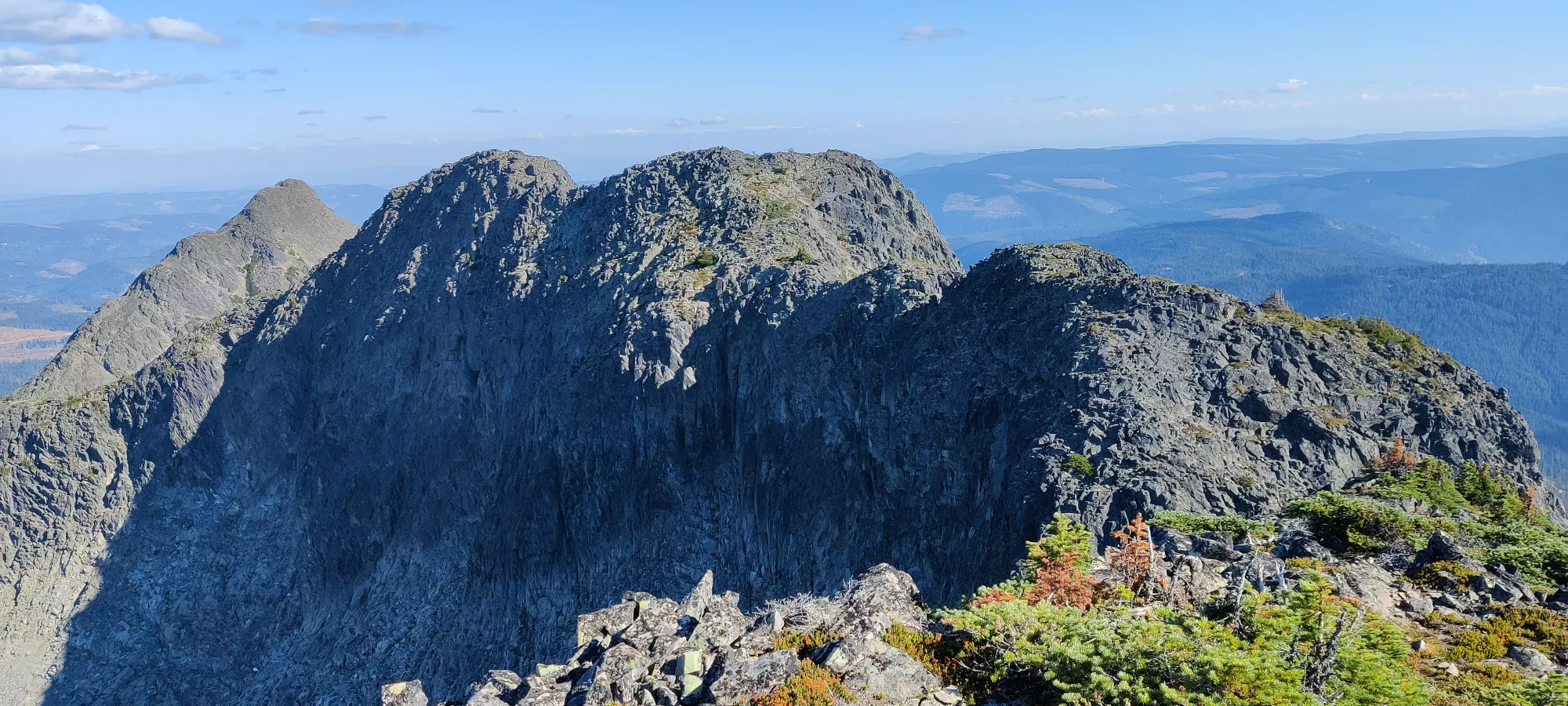
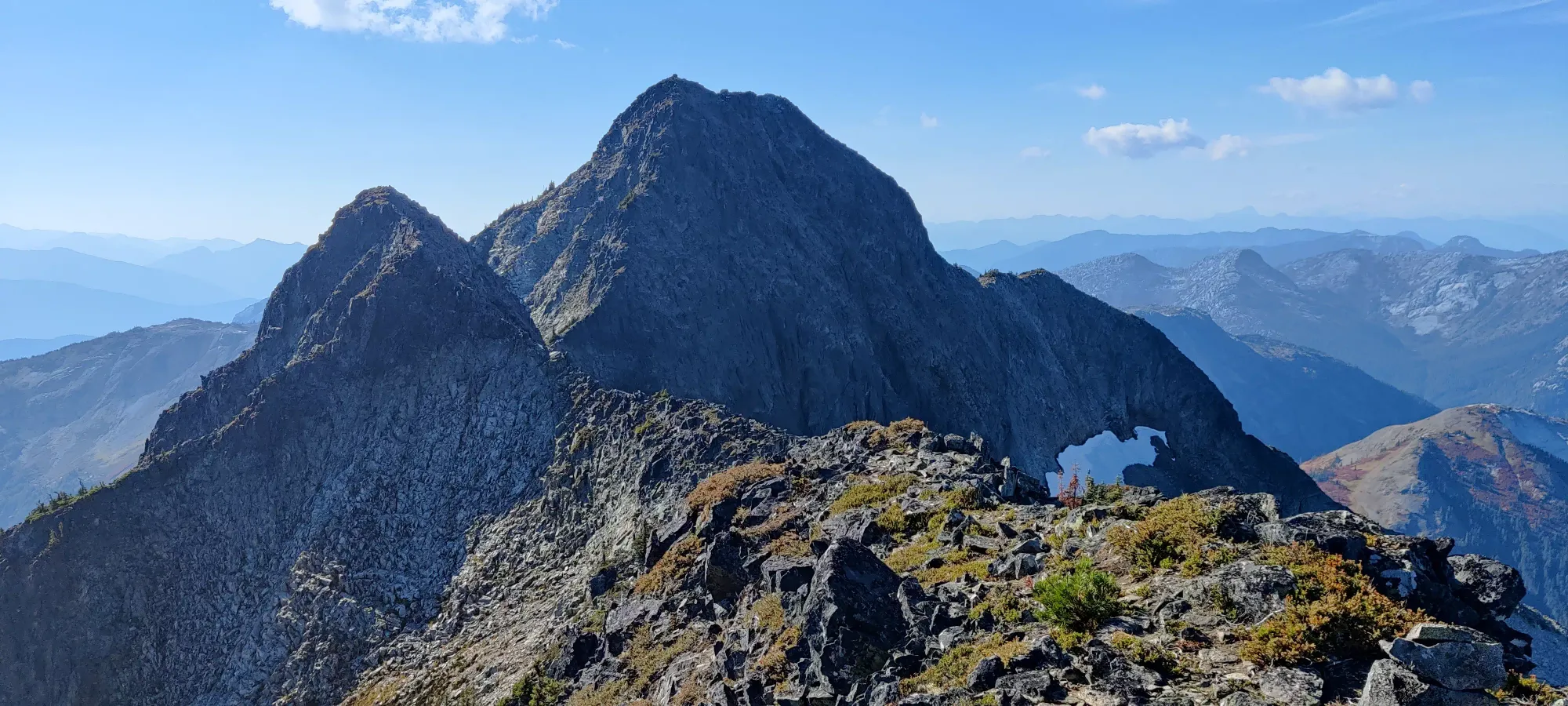
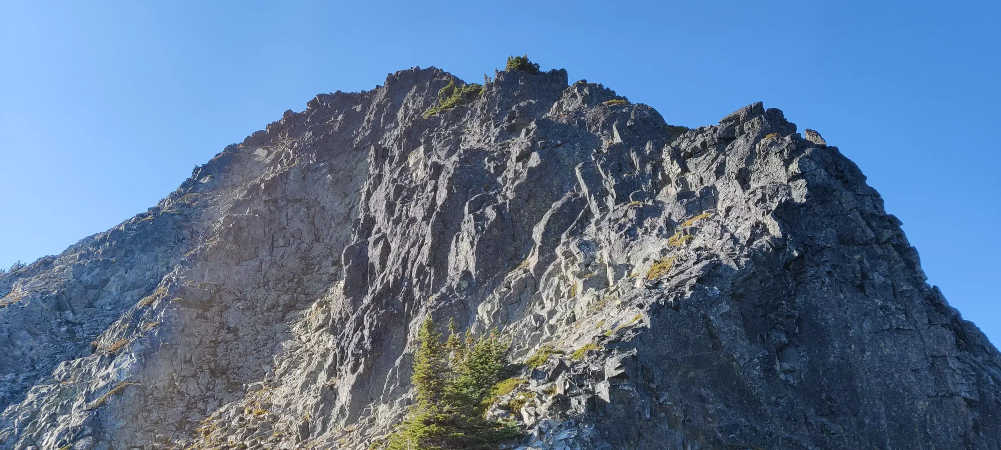
The ridgewalk to the sub-summit isn't terribly long, but it gets rather narrow+sharp at times, and there's still some loose rock, so one must be careful. Once you top the sub-summit out, there's a small descent to the bottom of the final col, and then the summit scramble. The first half of this descent is pretty standard "find the best ledges and step/slide down", but the second half does get more interesting.
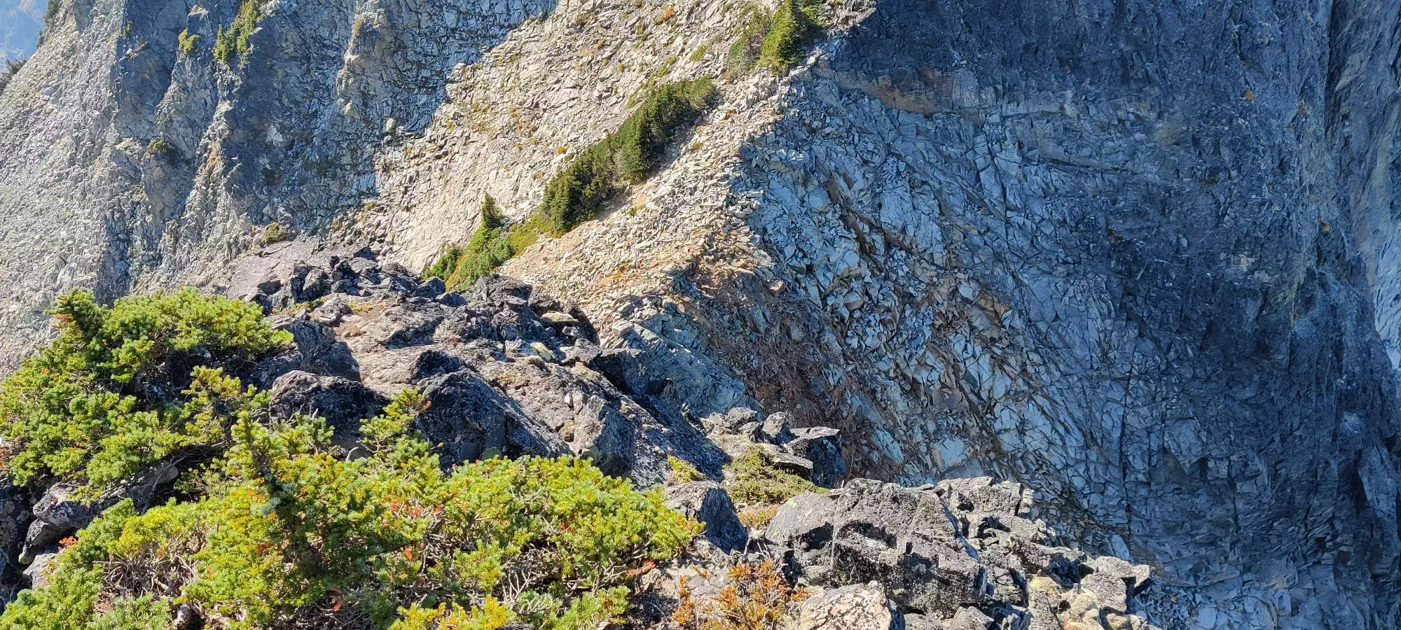
There is a small, fairly smooth face in the last bit of the downclimb that is, well, a downclimb. The exposure is minimal, but the holds are small and spaced apart, so many novice scramblers may feel uncomfortable here. I managed to get down without breaking the Tareef-patented "always downclimb forwards" method, and Logan did it the boring way ;)
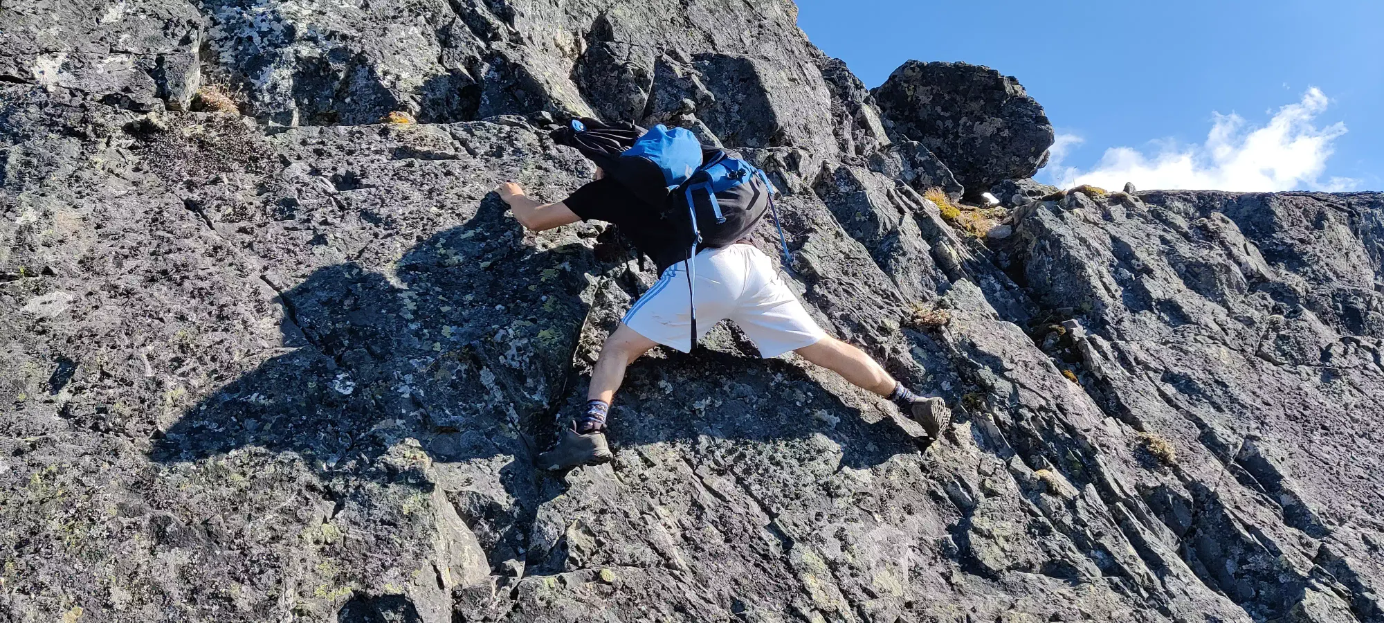
Once you get down here, there hard part is over, and it's a simple class 2 scramble up to the summit. There's a few points where you think you're making the last section, but then another block appears ahead, but in reality this isn't a long section of the trail, and you'll hit the summit in less than 10 minutes of starting. We topped out at about 3:30pm.
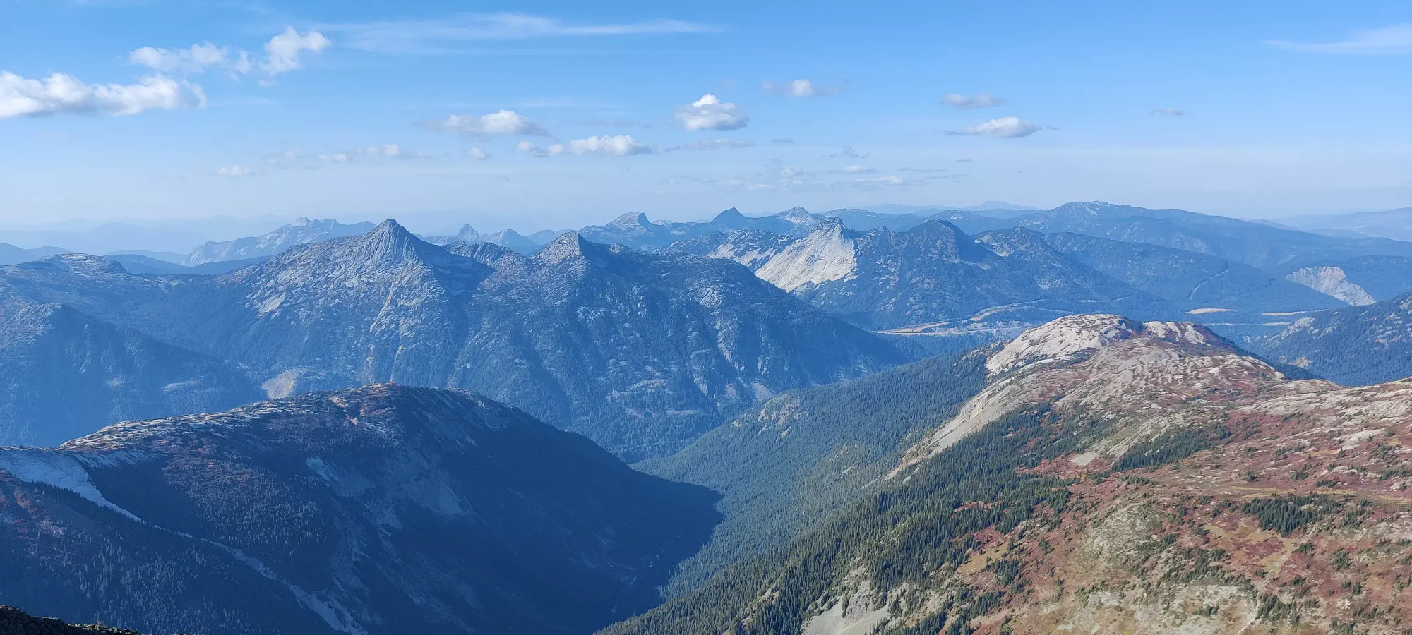
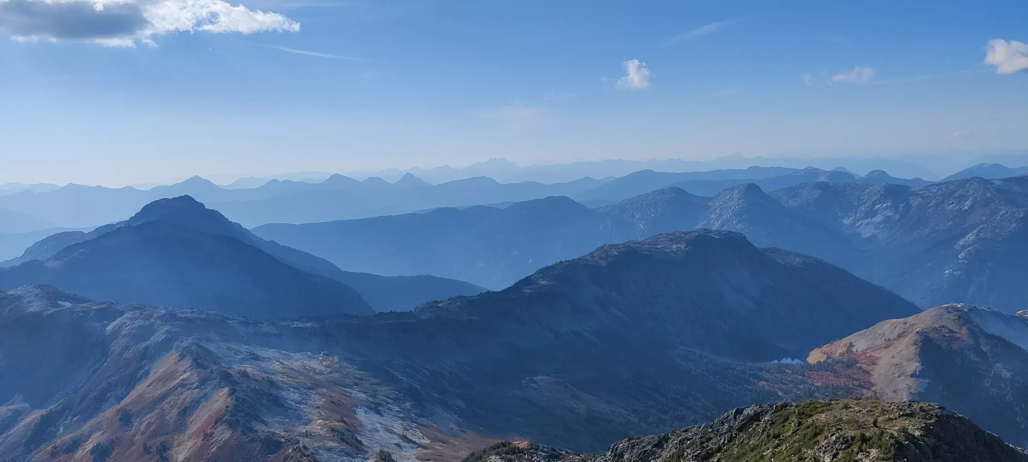
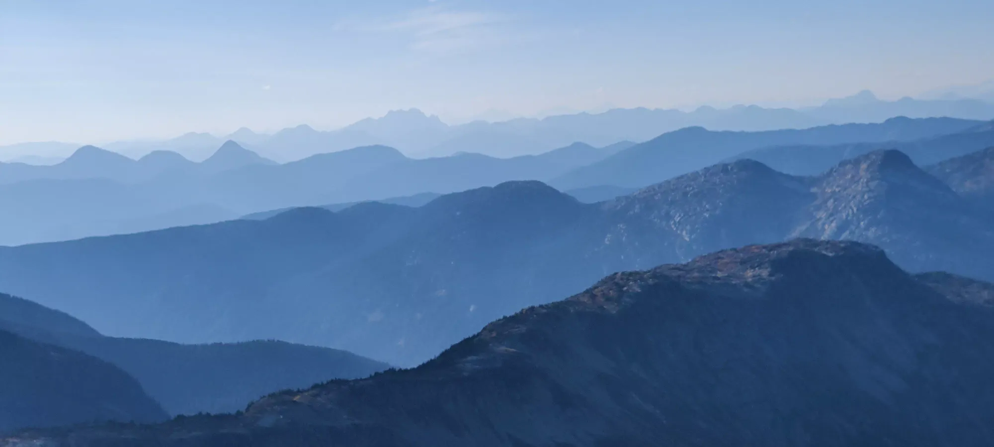
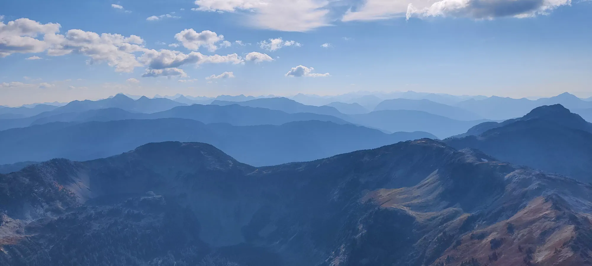
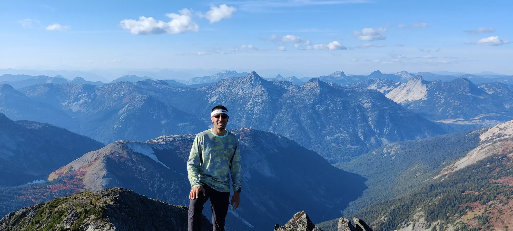
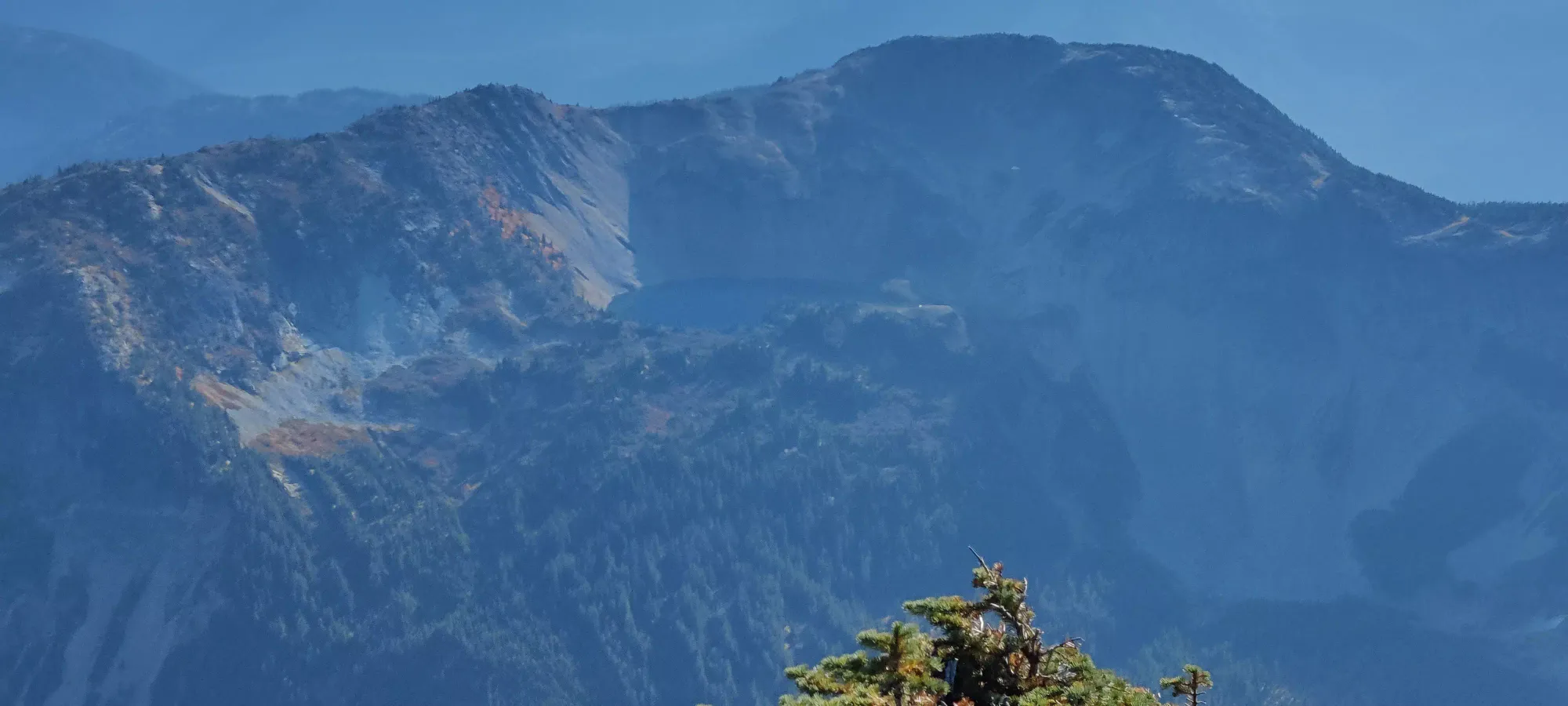
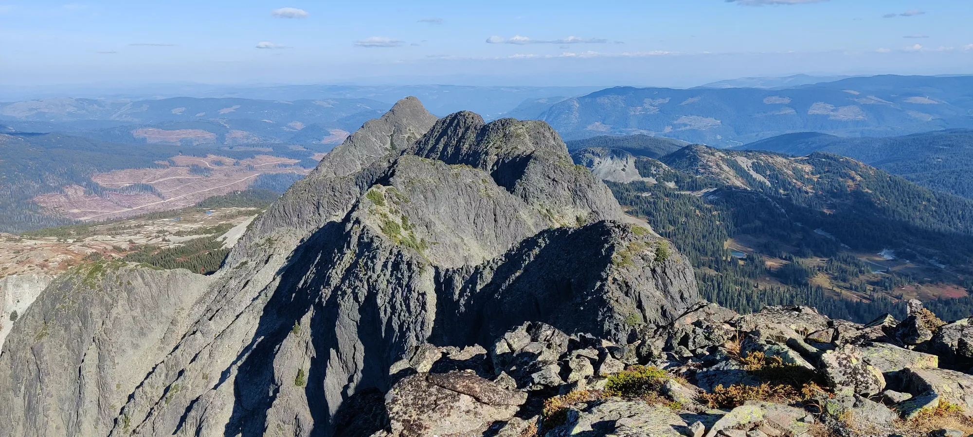
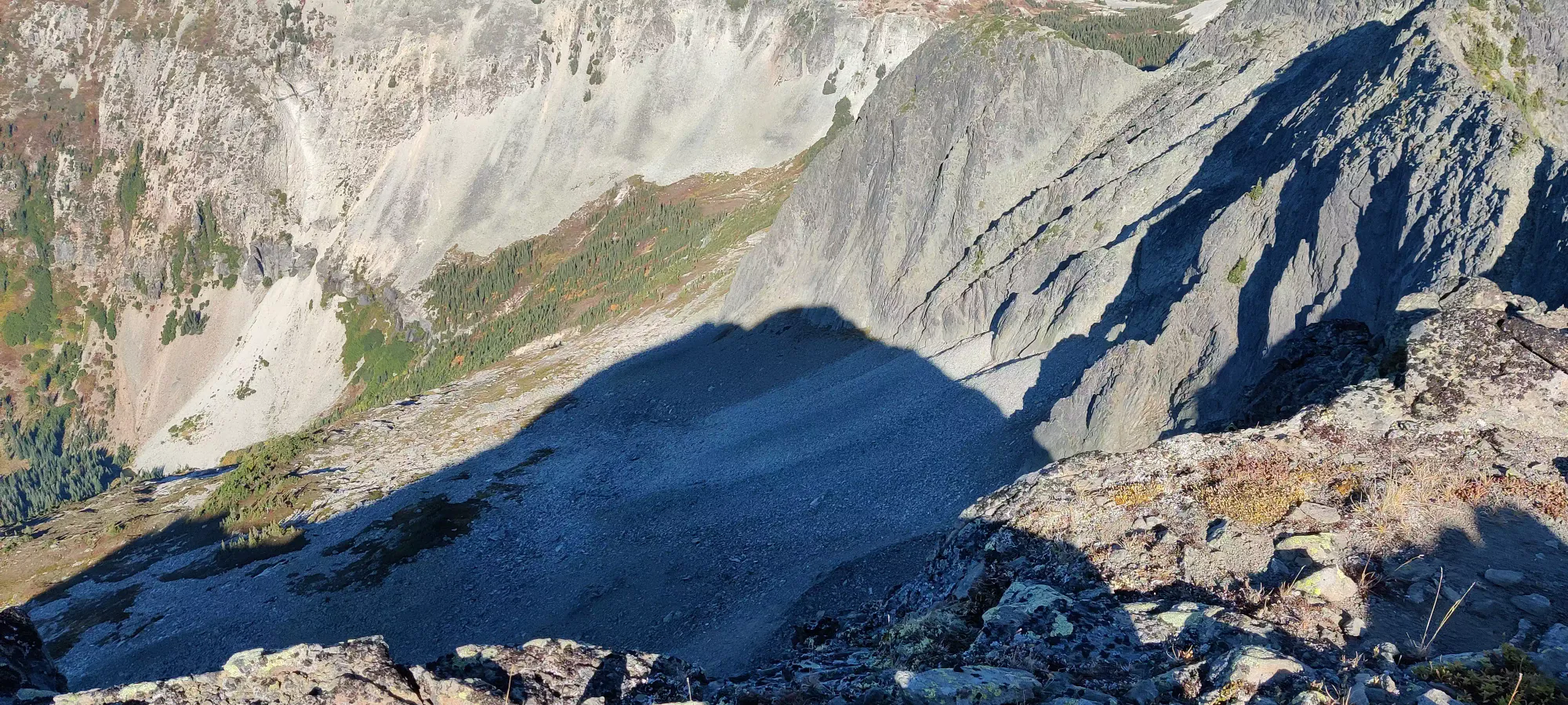

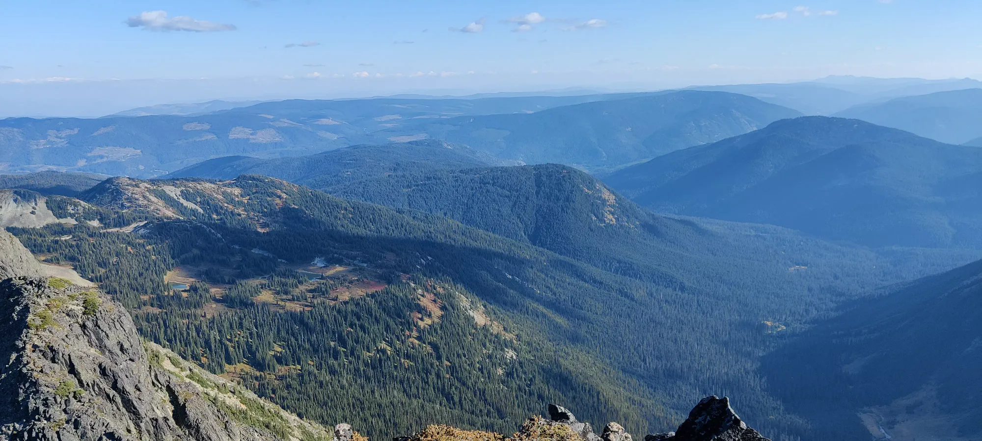
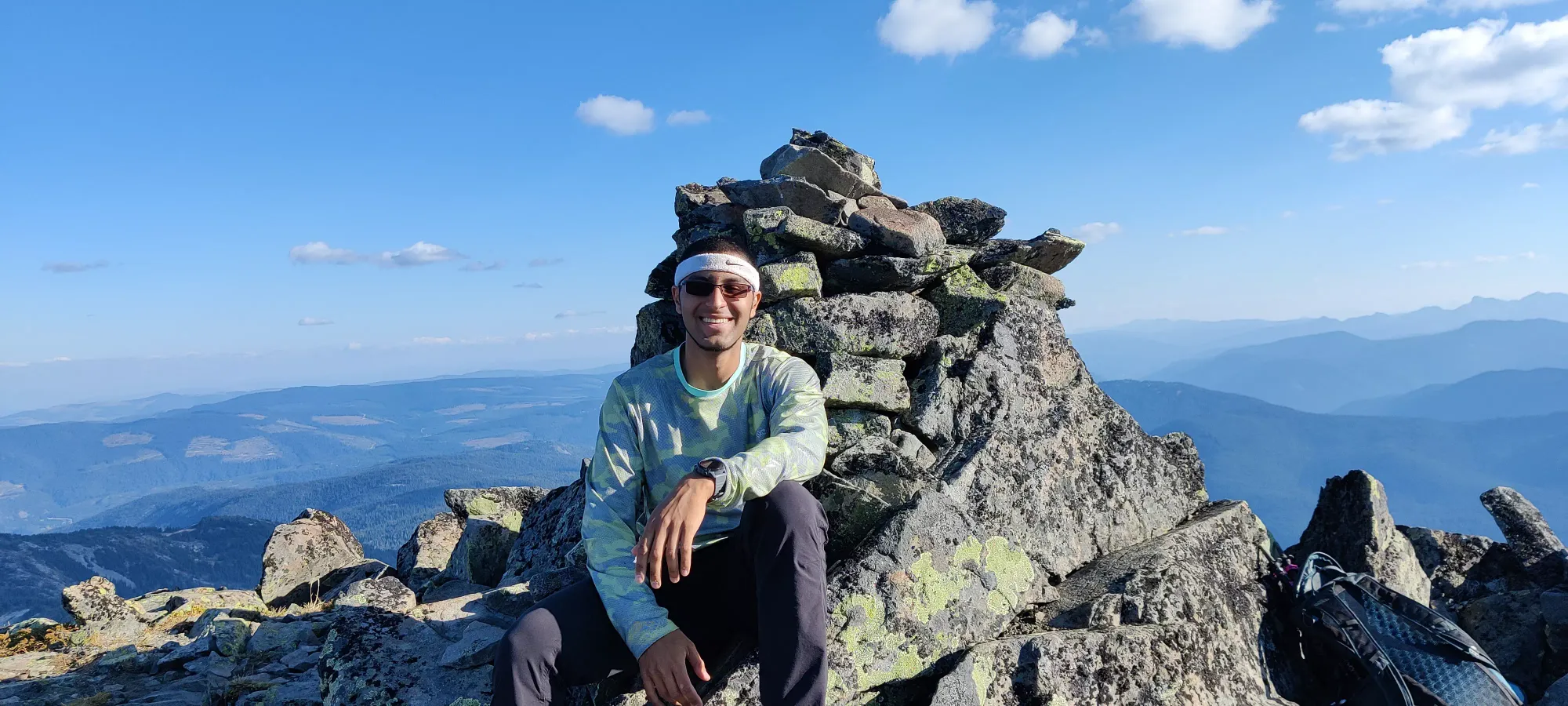
After a half-hour lunch break, we started making our way down. Originally, we planned to follow the GPX tracks we downloaded along the ridge to avoid the bushwhack, but once we got closer to the notch, we saw how much undulation there was, and said "screw that". This was backed up by my pointing out we could bypass the bushwhack and rejoin the trail by cutting off the top of the scree slope from above the bushes, and Logan finding a good way down into the bowl without having to do any class 4 scrambling. We got through the first 1/3 traversing across some ledges with a decent amount of loose rock on/around them, but things improved soon after that.
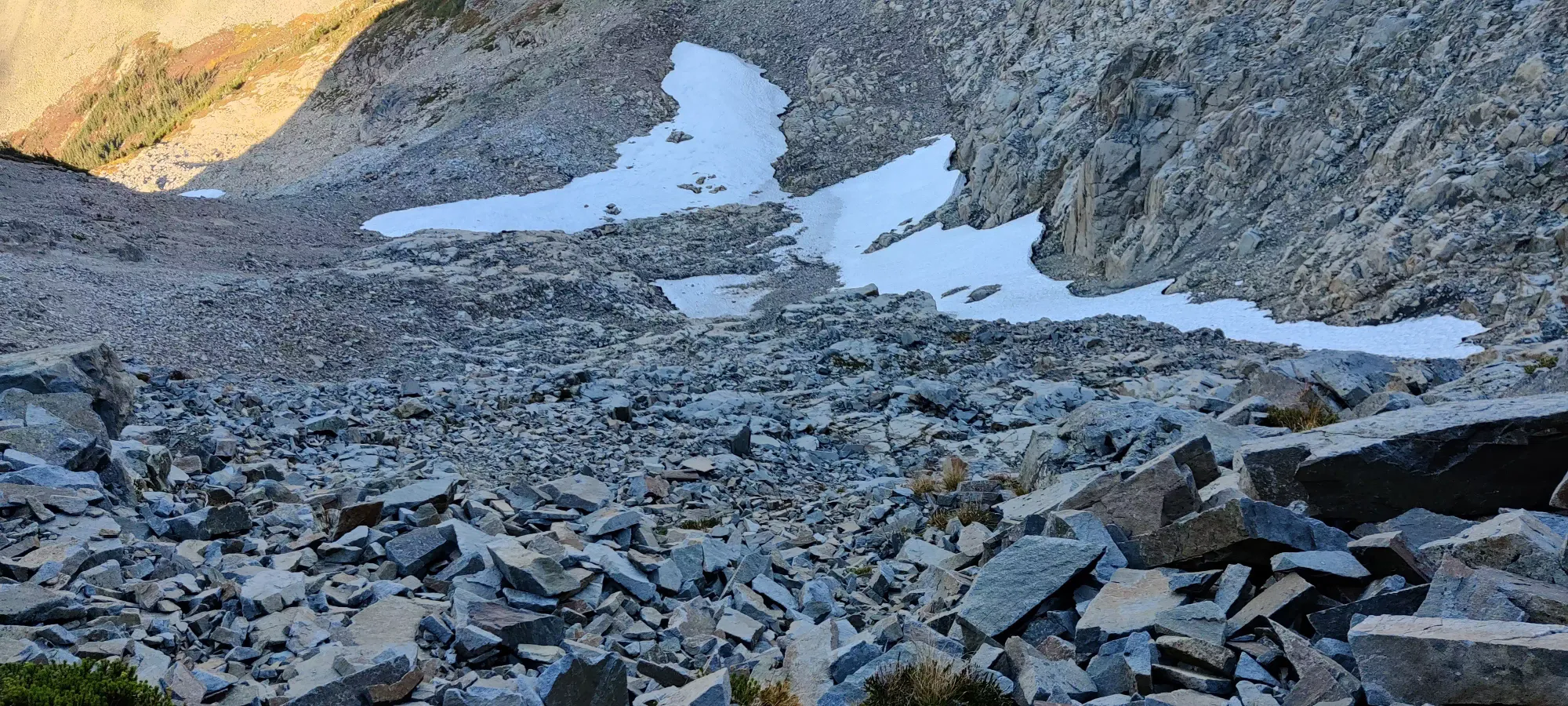
In the middle third, we managed to mostly stuck to large, fairly clean slabs which were much easier to get down, scampering around the face to do so. In the last third we stuck closer to the snow patch, and this allowed us to use the same sort of terrain. Once the slope eased off, we took the snow across the face to skier's right, and had only a short boulder-scamper to get back to the bushes.
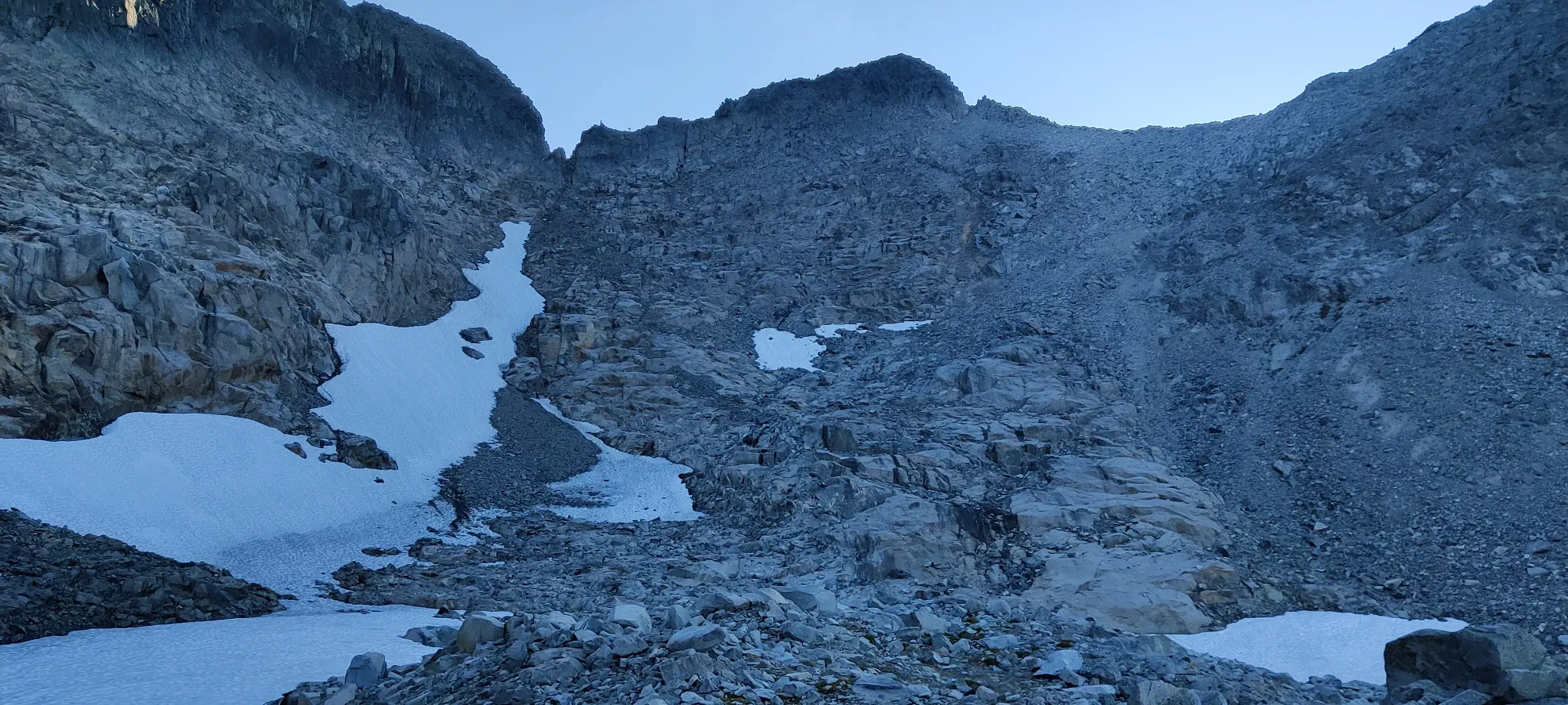
Once at the bushes, we took a line slightly up the hill to come over the ridge and gain the GPX tracks we were originally planning to follow up, since we figured we could get down the talus slope a lot easier than up, which is why we avoided it originally. This worked out quite well, and we topped the ridge out in front of some bushes, and just above those was a faint trail leading down into the talus. This was at about 5:30pm, so we were pushing pretty hard up against the clock by this point.
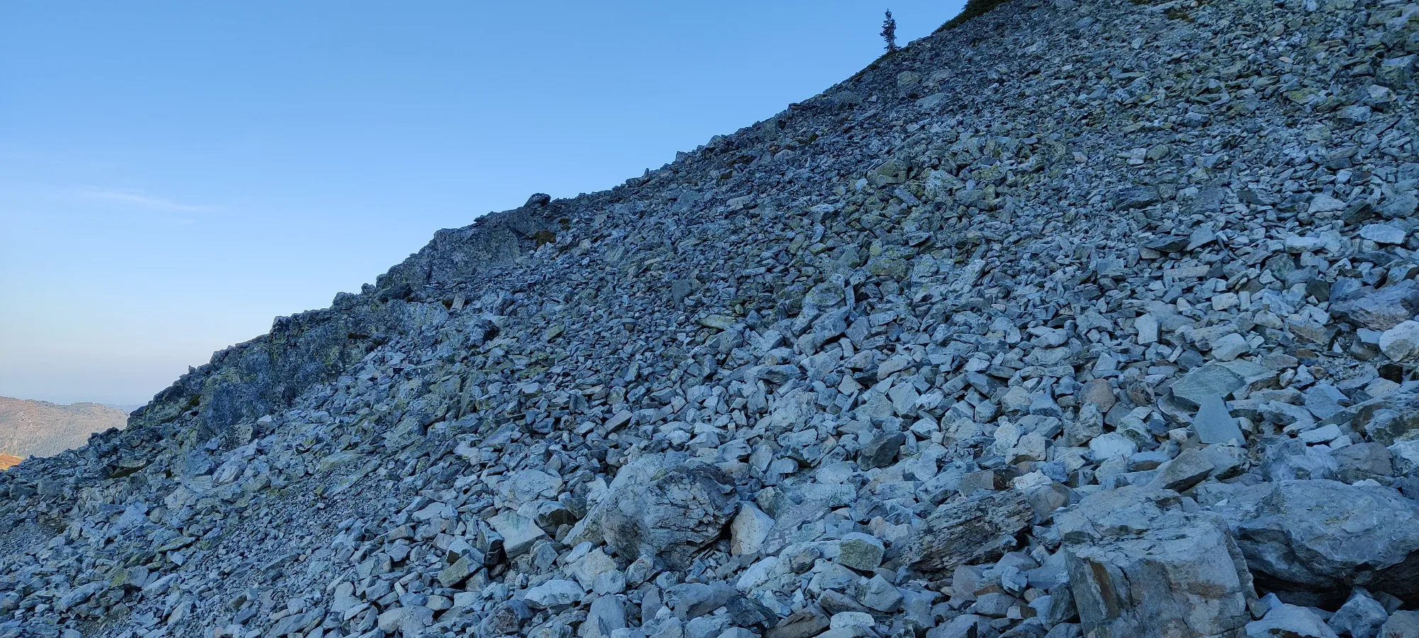
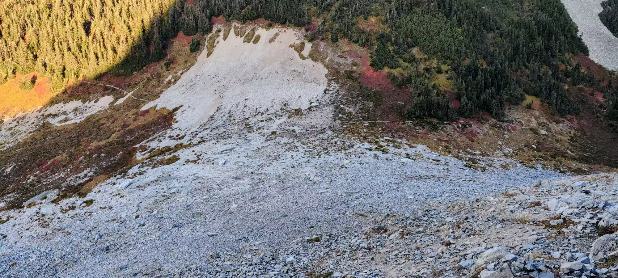
Sadly the rocks aren't quite so small one can effectively scree-ski down, but with careful line choice and looking for patches of large outcroppings or dirt, one can get down fairly quickly. Once down, Logan emptied out some rocks from his shoes, and we set out back on trail after a good few hours gallivanting about. The walk back up to the campground is not actually that long or tiring, and once we got there, we got to pick the pace up a bit. Getting through the meadows was mostly just "walking quickly", as the path isn't as well-defined in this location, and we ended up doing a little wandering until about 1850m elevation.
From there, though, we jogged down for the next 40 minutes to the Illal Creek crossing just below 1300m, getting through all the non-straight parts of the trail. Once we got back to the straight path, though, Logan seemed to have put a part of his mind at ease that apparently wasn't so relaxed before, and slowed it down to a regular walking pace. We decided not to retrace our bushwhack, and figured the regular trail would be faster, even if it meant walking back up the branch FSR we parked on. Once we hit the parking lot of the branch FSR that goes to the official trailhead, Logan started feeling a bit of a blister, and we slowed down a bit more. I also tried to collate some information on the branch conditions for those who aren't blocked by RVs and bring their own vehicles:
There's a massive washout less than halfway to the parking that will stop everyone except the most capable, long-wheelbase offroad trucks. You can get across on the way up, but the way back involves a large, deep cross-ditch that's been washed out, and has a 1+ foot dirt cliff on the other side you have to get up, so only big, grippy tires aided by a rear still moving down has a chance (with lockers), so I wouldn't count on getting the whole way. There's a few pullouts before that, and the rest of the terrain is easier than that, and any SUV you don't mind pinstriping will do fine, I'd imagine.
The walk along these roads was a bit tedious, and I considered just telling Logan to take it easy and let me grab the car since I wasn't feeling hampered by any injuries (or peakbagging plans for the next day), but I know how much I like getting proper car-to-car trips done, so I just accepted a slightly longer day. We ended up making the car in a bit over 9 hours round-trip, and without needing to turn headlamps on (barely), so still acceptable. One can definitely do this faster by not trying to use the other branch and bushwhack, driving or biking the approach as long as possible, and not getting hurt. If you take the route you download and aren't constantly cross-referencing your maps, that will help too, I imagine.
So, despite not getting the full trio of peaks, it was still a fun trip. I like developing my routefinding skills, hopefully we got some beta that'll be useful to others, and we did get to do some fun scrambling, so a day well spent I'd say. It also helps that Coquihalla is a >600m prominence peak, which is nice to check off the list. 10/10 would recommend, and you can even bring less-intense friends for the other peaks we didn't get to, since the trail to that point is very well-maintained, and not that long/difficult either.
GPX Track + Map

