Church Mountain - July 6 2024
A short and sweet hike to a nice viewpoint, and a fun scramble to the true summit for the adventure-inclined, with lots of options to make things as challenging as desired


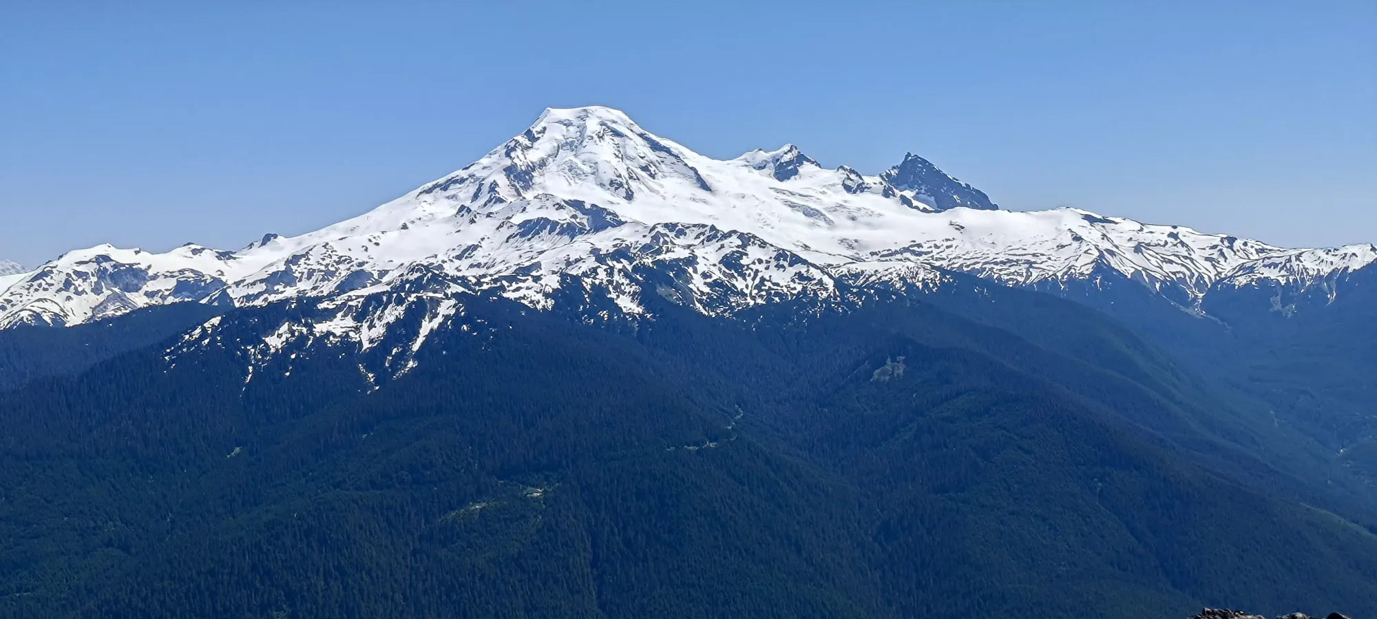
Border Ranges, Glacier, Washington
1925m
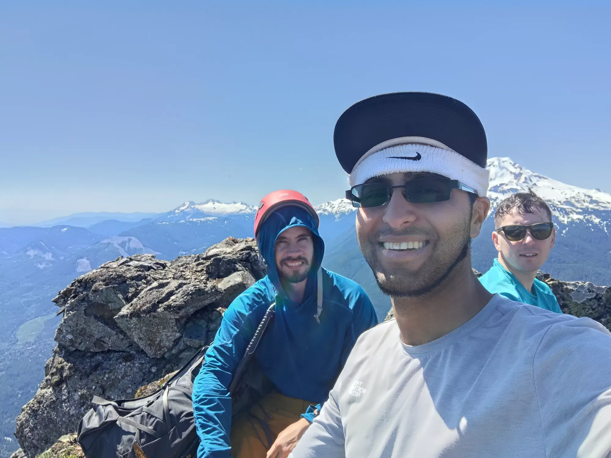
With a record heatwave in full swing, this weekend was going to both be brutal in terms of dealing with the heat, but also nice from a "finally melting out more scrambles" perspective. To try and balance the two sides of this coin, I met up with my scramble/climbing-forward buddies Logan and Michael to do a smaller but scrambly peak just south of the border, figuring it should be dry enough (especially on our southern approach), and not so long we'd die of heat exhaustion 😅.
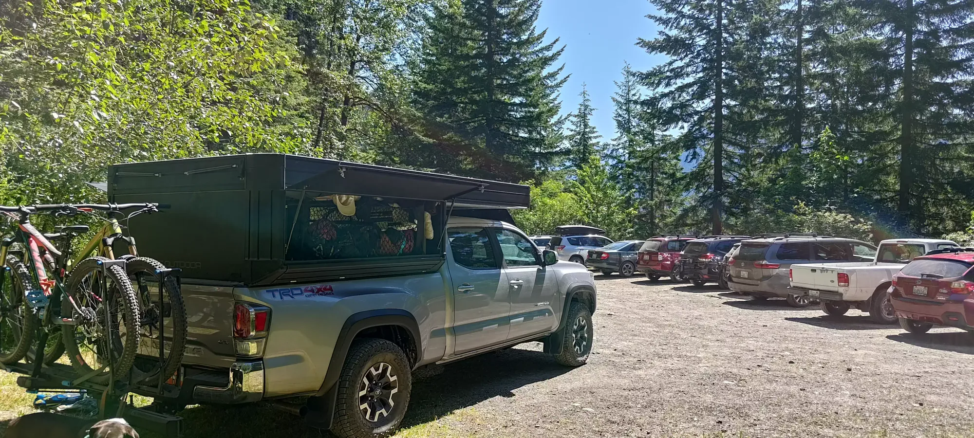
After an early start at home in Squamish, I picked Logan up in Vancouver en-route, then dropped him back off at a Tim's just before the border, so I could go to the bathroom while he got into the border line with Michael 🤣. Since my health was still poor, I needed the extra time, but I also have Nexus, so I knew I could make up the time they'd spend in line, so this strategy worked out pretty well. I actually ended up getting to the trailhead about 20 minutes early, so I hung out with some overlanders who were at the trailhead while I waited. For those wondering, the road is pretty tame, with one well-documented washout requiring 2WD medium clearance to clear at the Fossil Creek crossing.
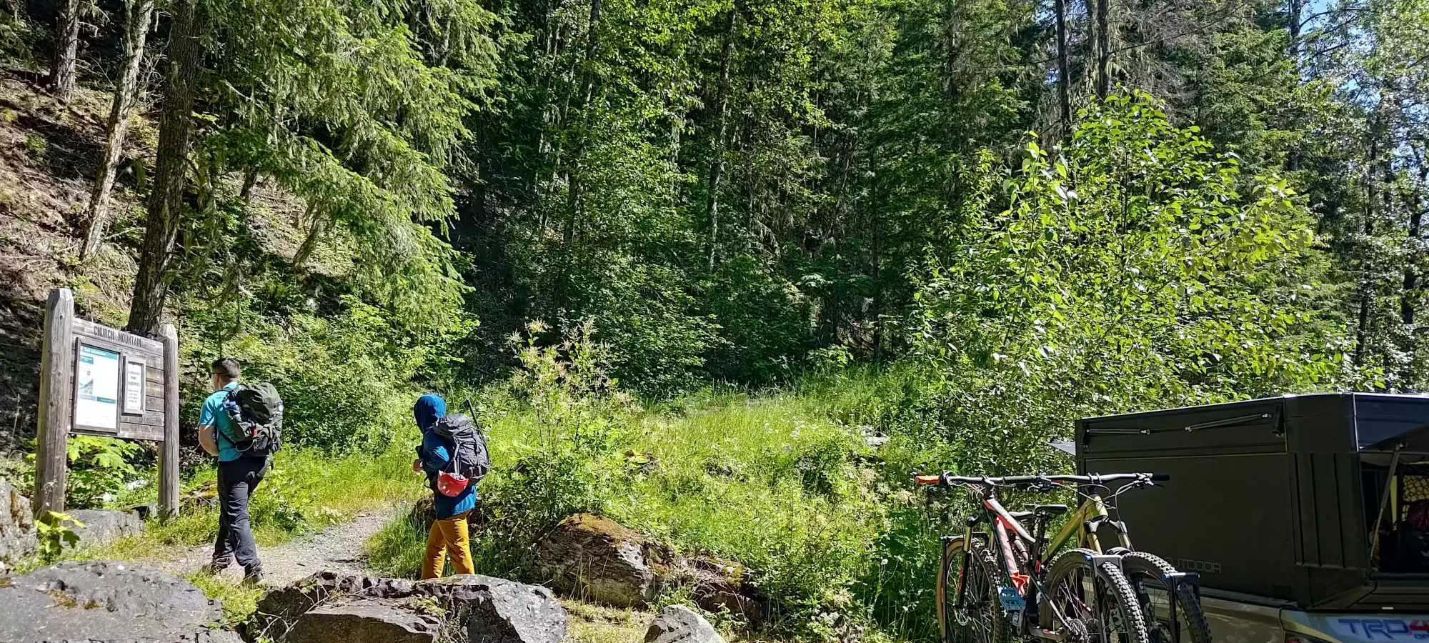
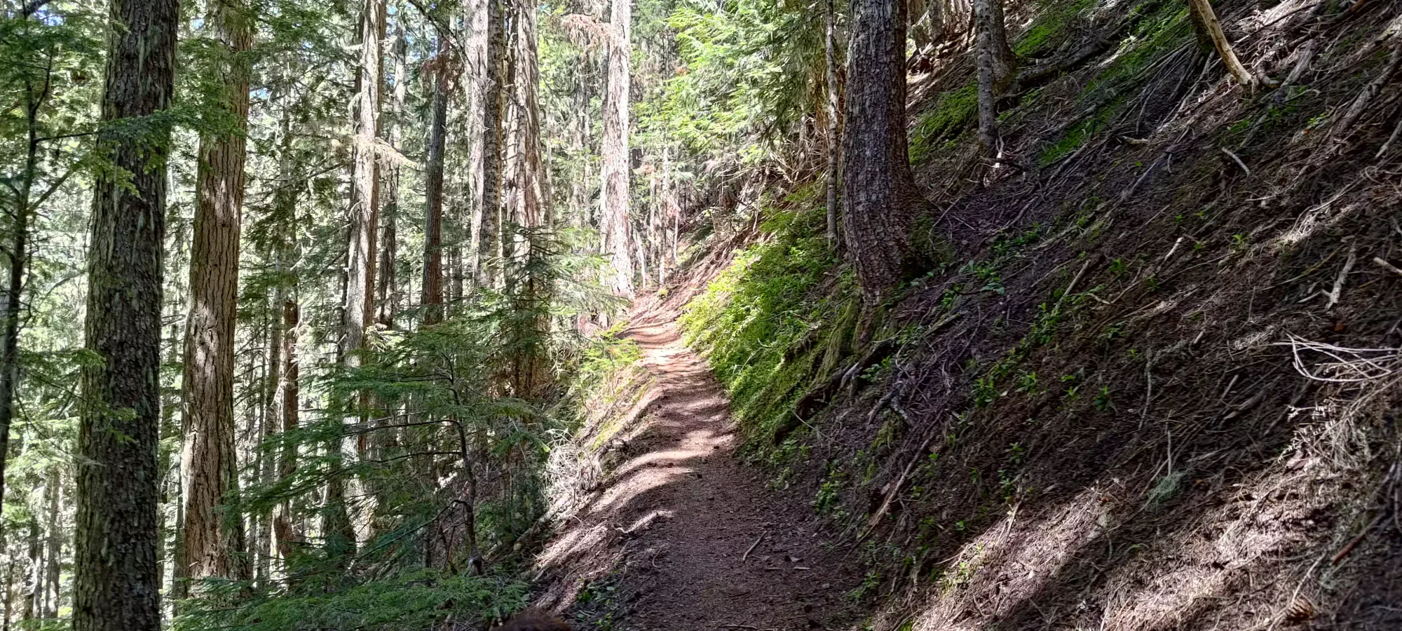
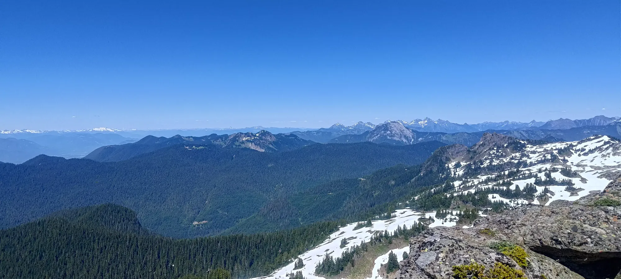
Once we all got geared up, we got hiking at 10:50am, enjoying the benefits of longer summer days after a winter full of alpine starts. The first hour or so went by pretty fast. We tried to keep a reasonable pace in the heat, but still made pretty good progress, covering about 4km and gaining from about 700m to about 1300m. This was all on excellently-maintained trail, something I've been consistently impressed with in the US as compared to most "non-top-10" trails up in BC.
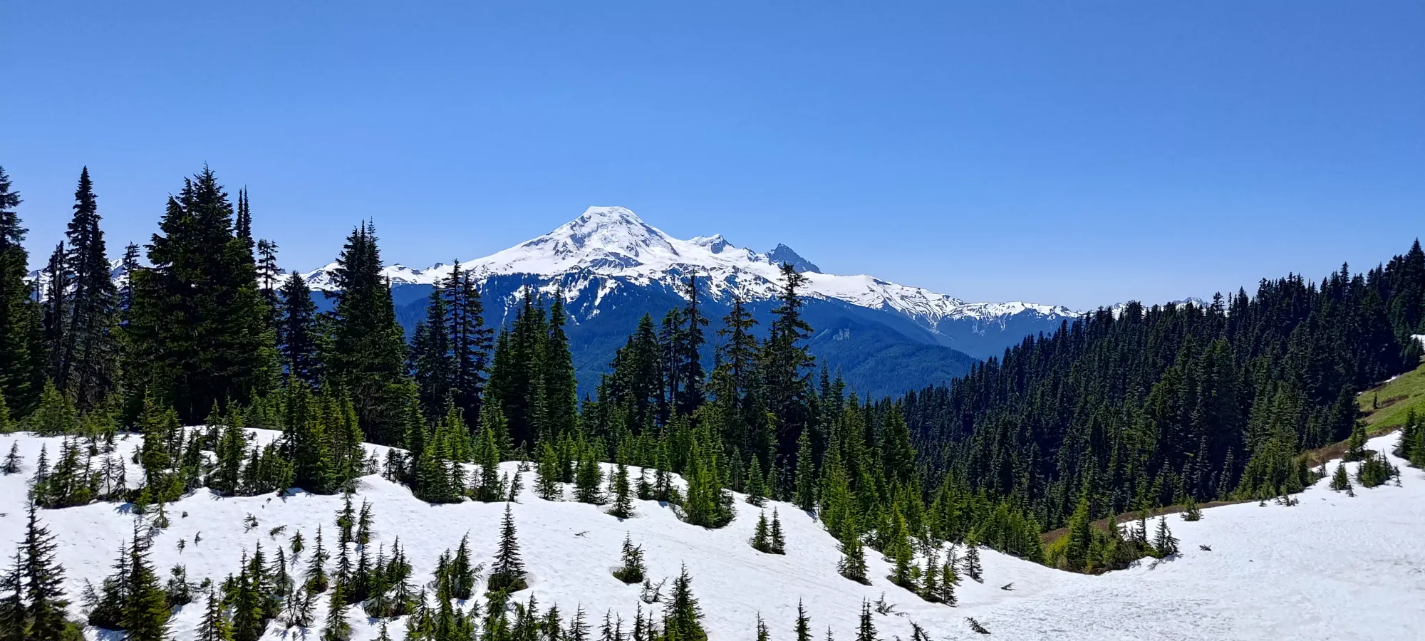
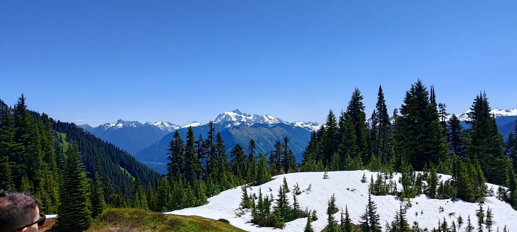
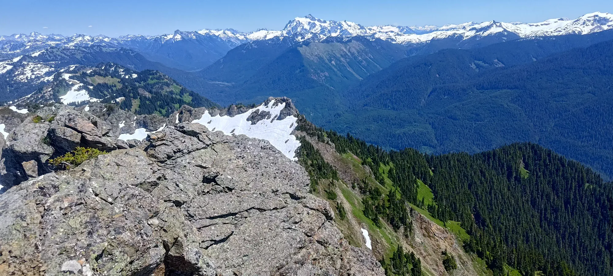
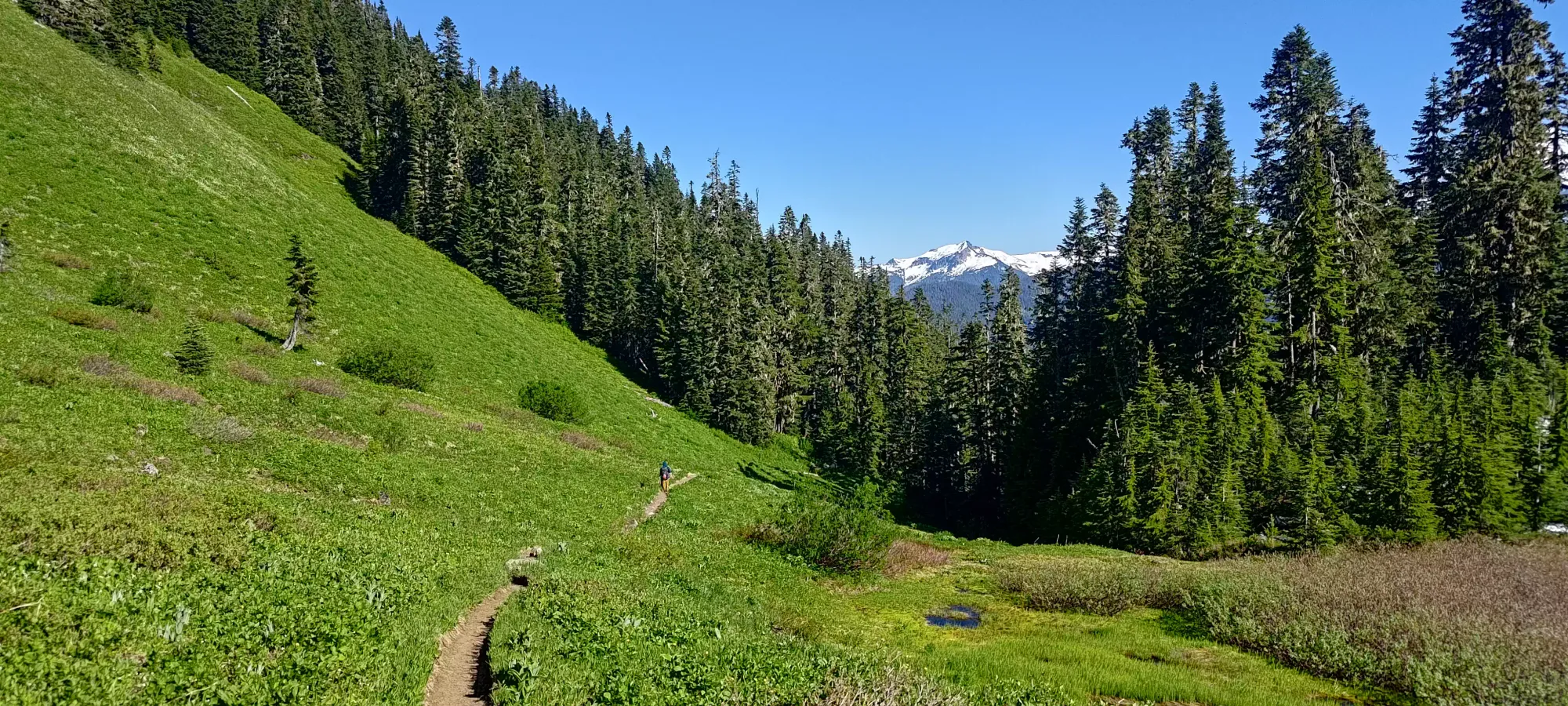
After a short break in the forest at the 1-hour mark (we tried to be somewhat responsible with our output in the heat), we continued on up, and in about 20 minutes we broke out of the forest into a very pretty alpine meadow, at about 1500m.
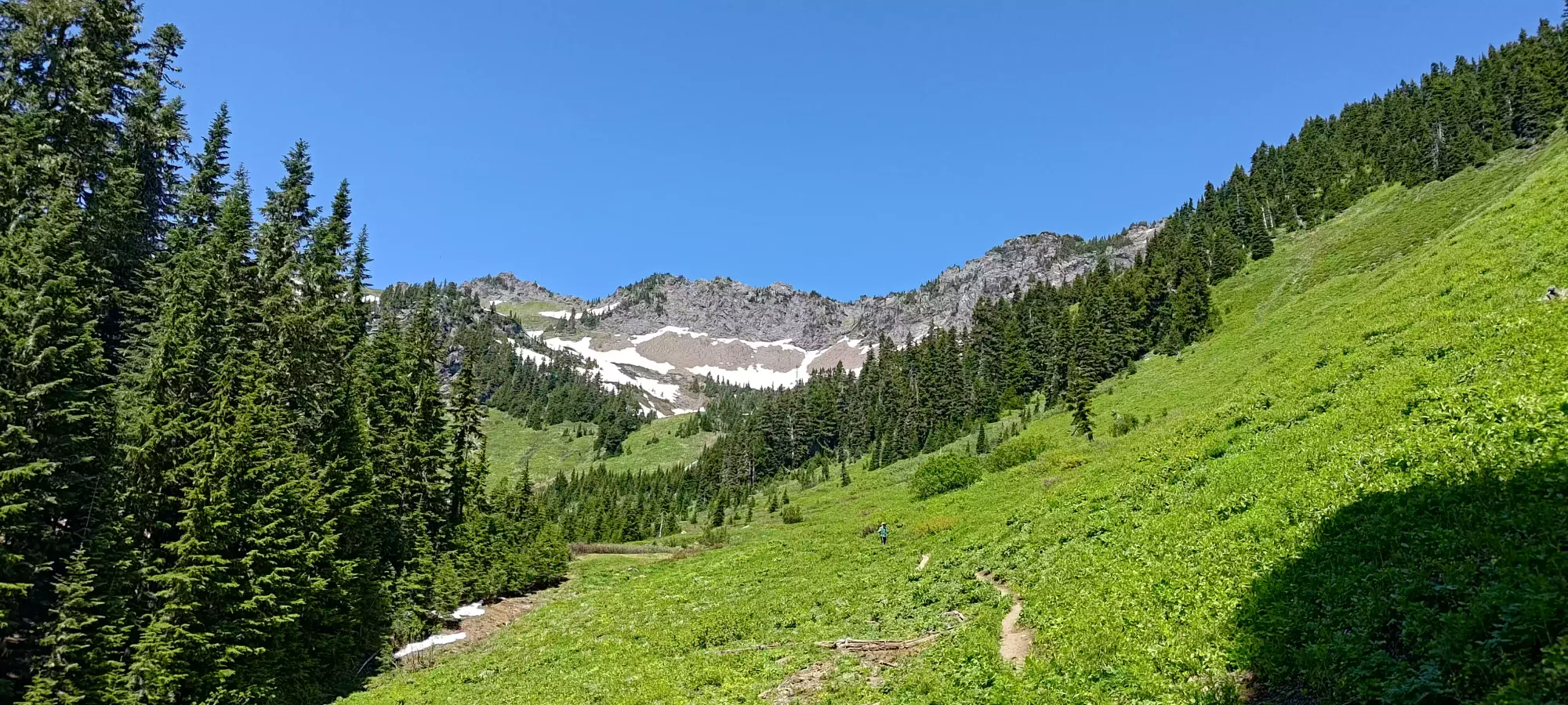
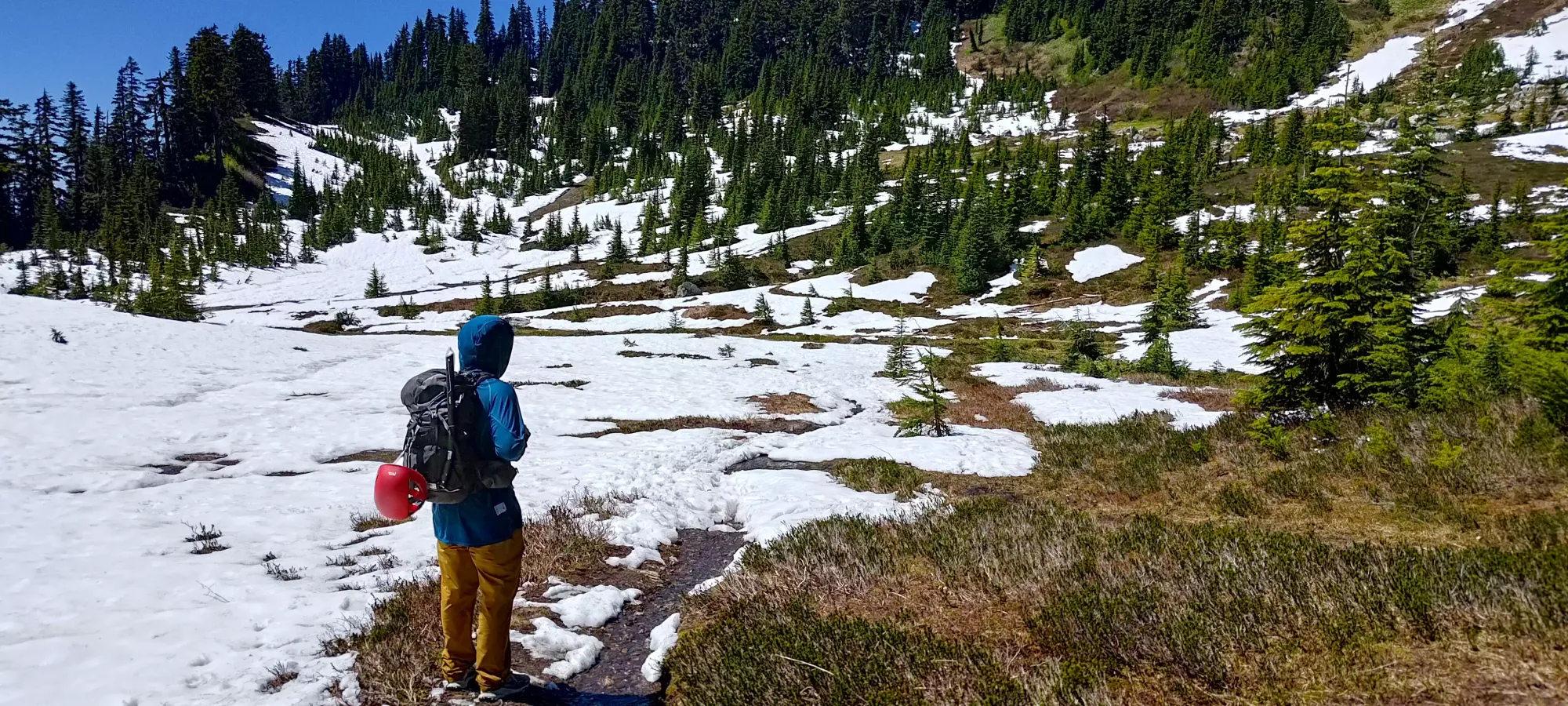
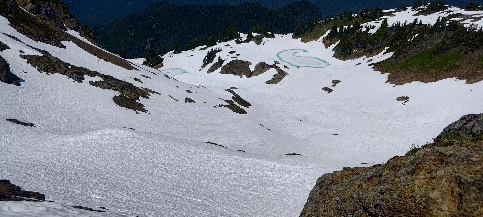
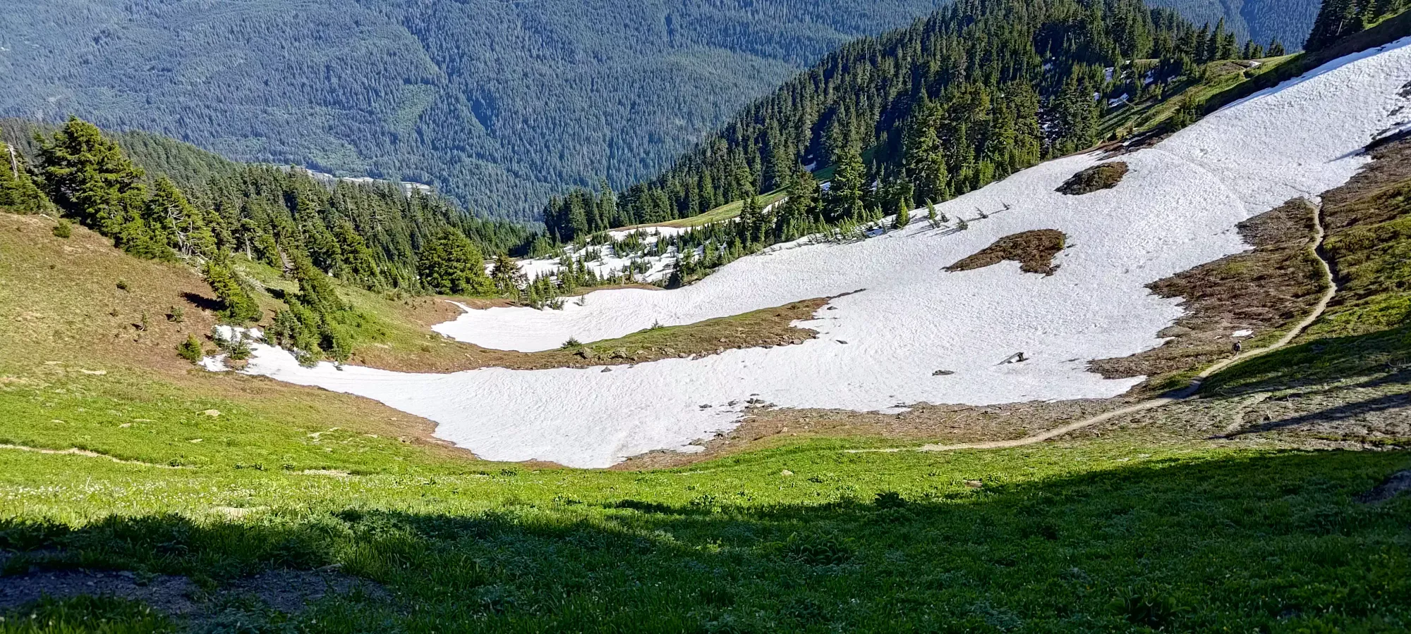
Not too long after we got into the meadows, we found ourselves near Dearhorn Creek, where we encountered some thin snow, muddy/watery trails, and a couple easy creek crossings. The snow was patchy, but well-trodden and easy to walk just in trail runners.
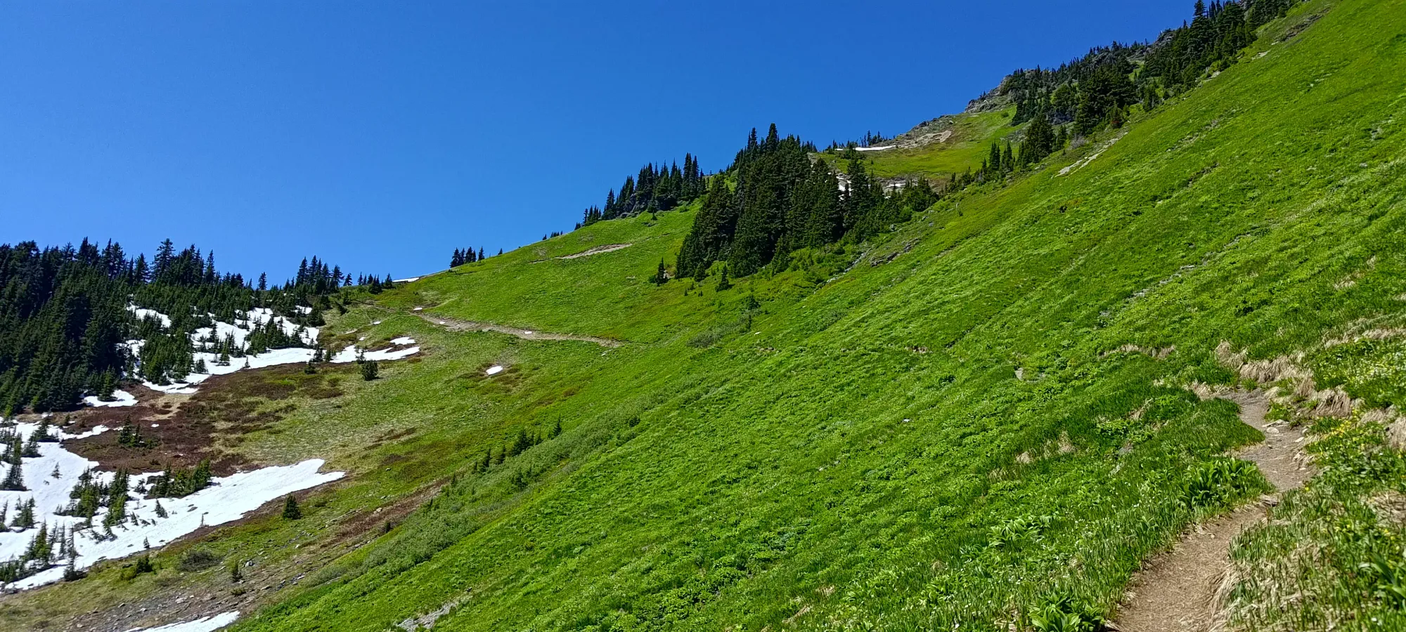
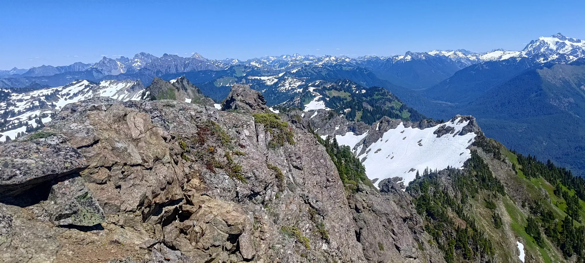
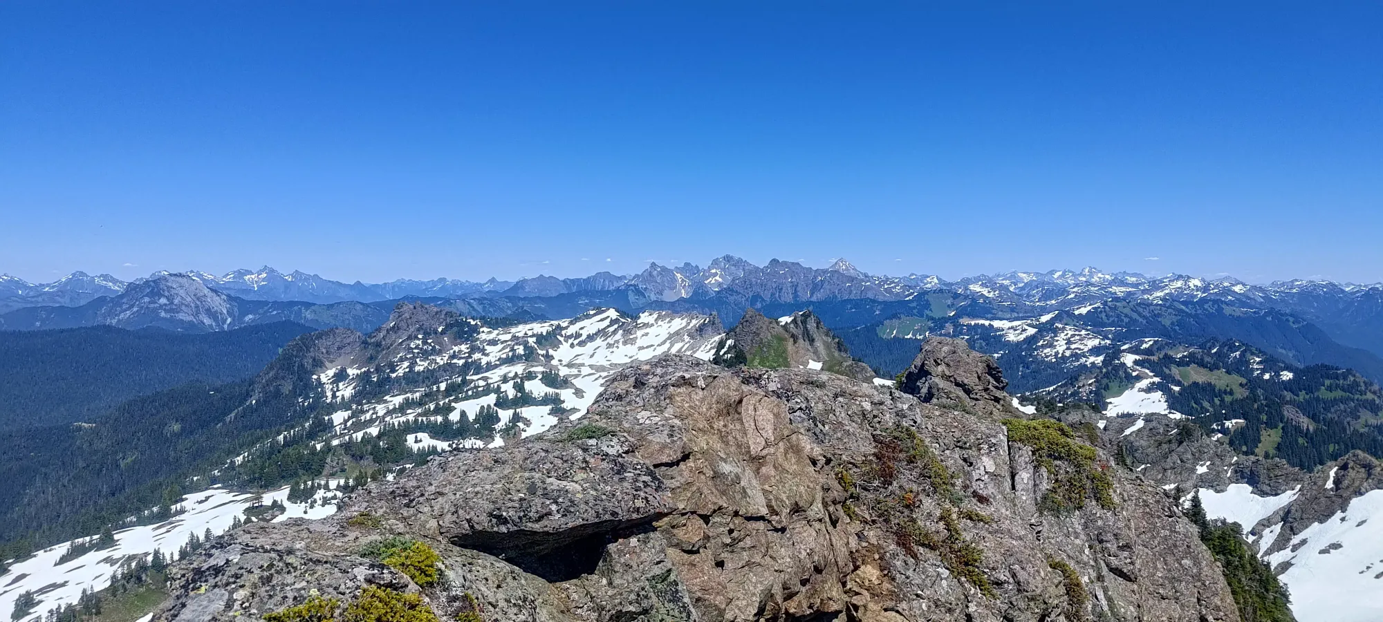
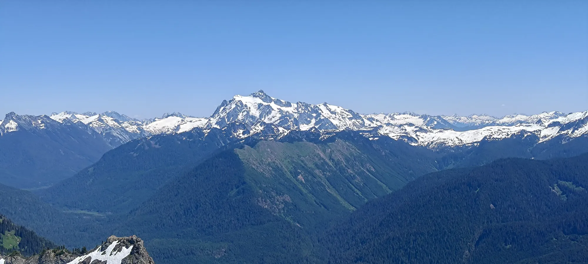
From that point up to the small rocky section up to the viewpoint, we had a bit of snow at the beginning, but it was largely dry above 1650m, and we made good time there. The rocky section is quite short, so once you hit the end of the dirt switchbacks, you're basically done the official trail.
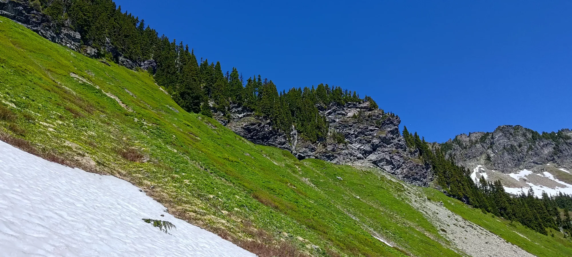
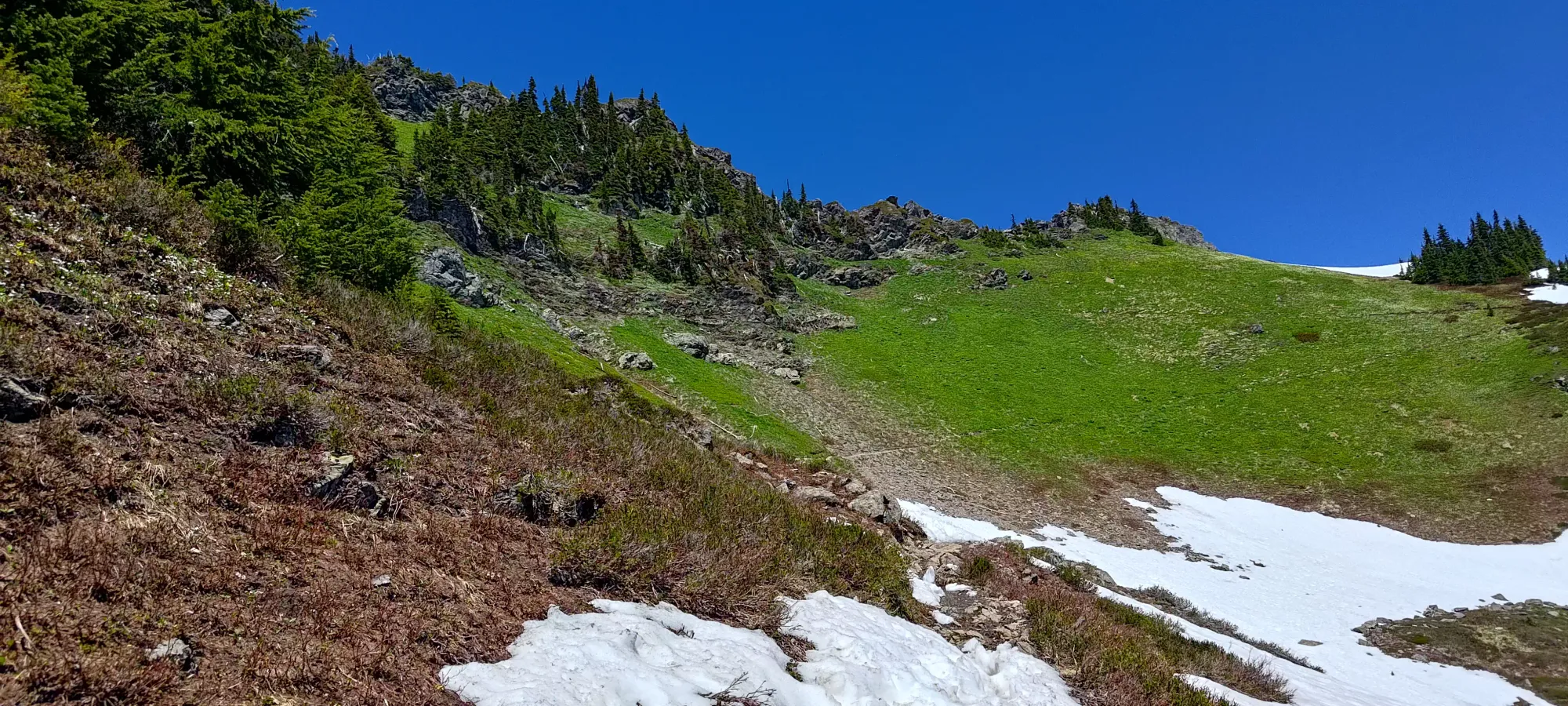
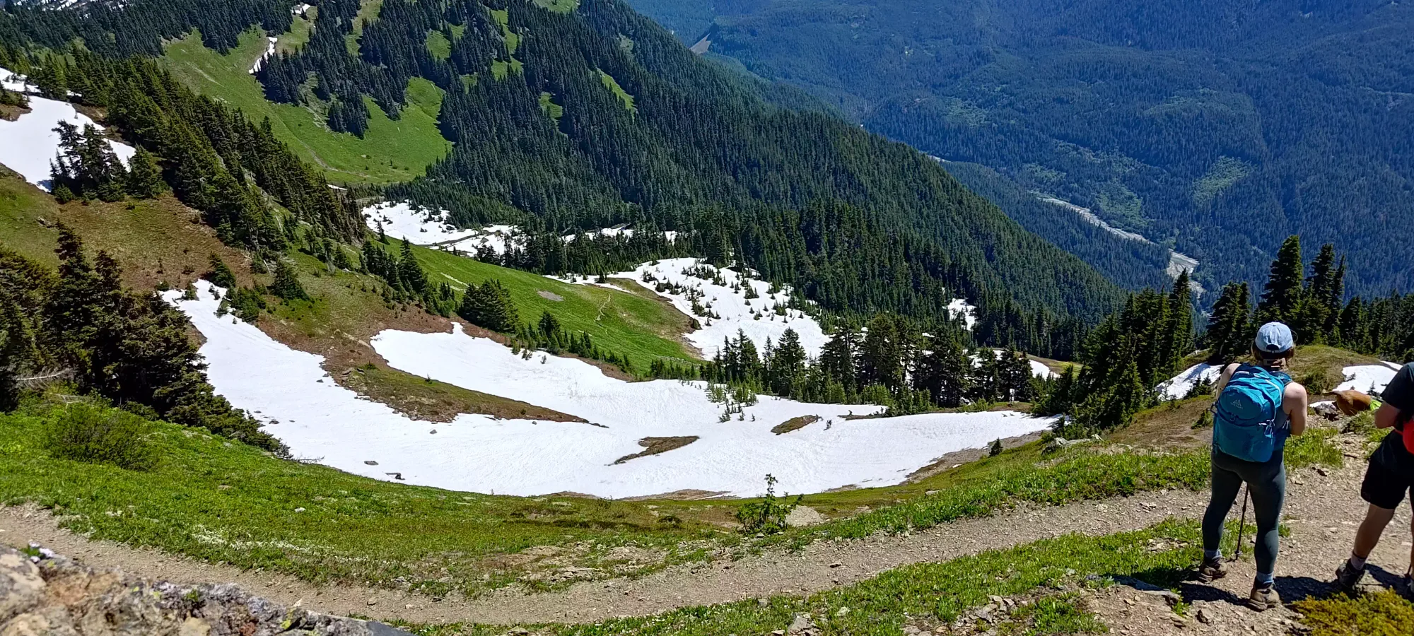
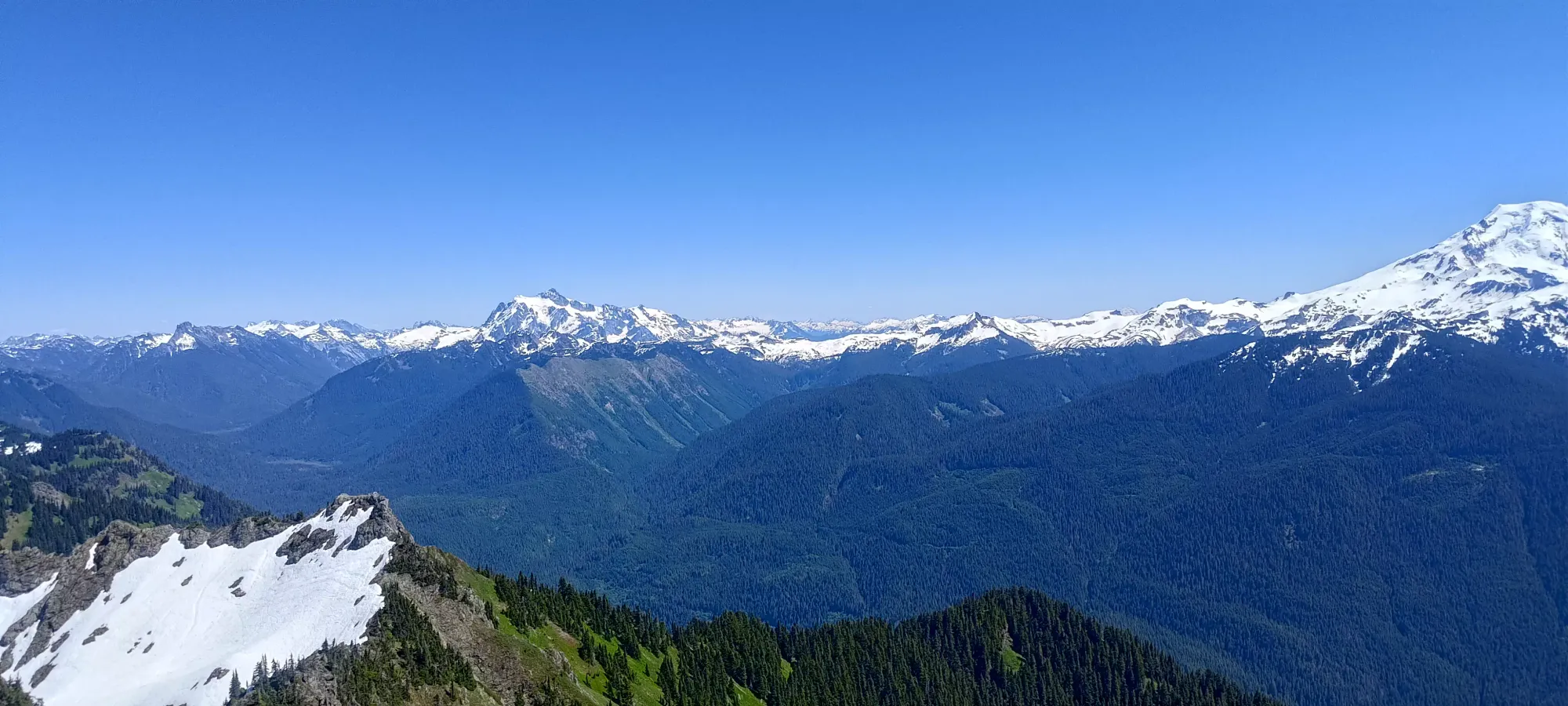
The rocky section is nothing extraordinary. There's one way up that's slightly steeper, with an installed handline made of metal cable. If that doesn't suit your fancy, there's a slightly longer walking path beaten in to the right. Neither are difficult by any means, I'd classify either as "hiking" as opposed to "scrambling", for context. Anyone with moderate fitness should be able to reach the viewpoint. After a couple minutes, we found ourselves on top, under 2.5 hours after we started, despite the heat 🙂 There, we had a short break, then started working out the best options to get over to the true summit.
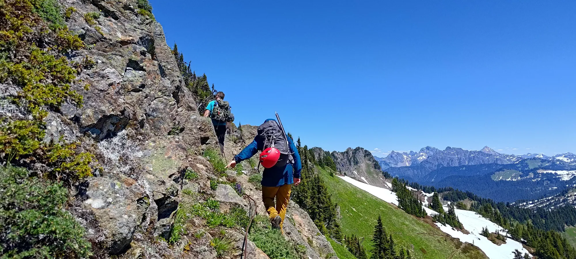
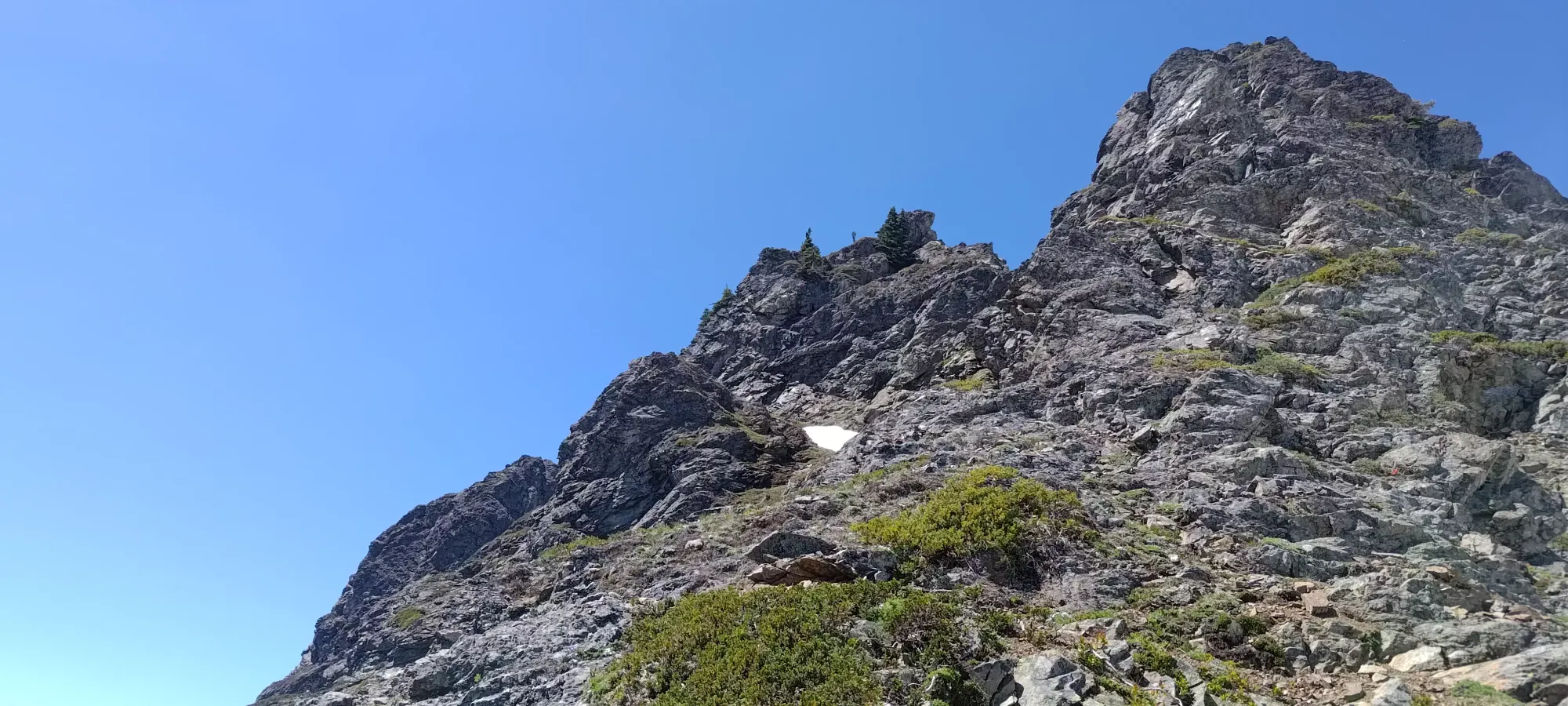
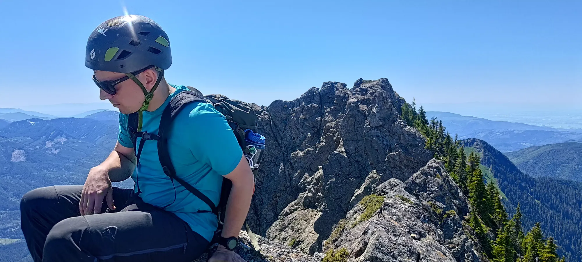
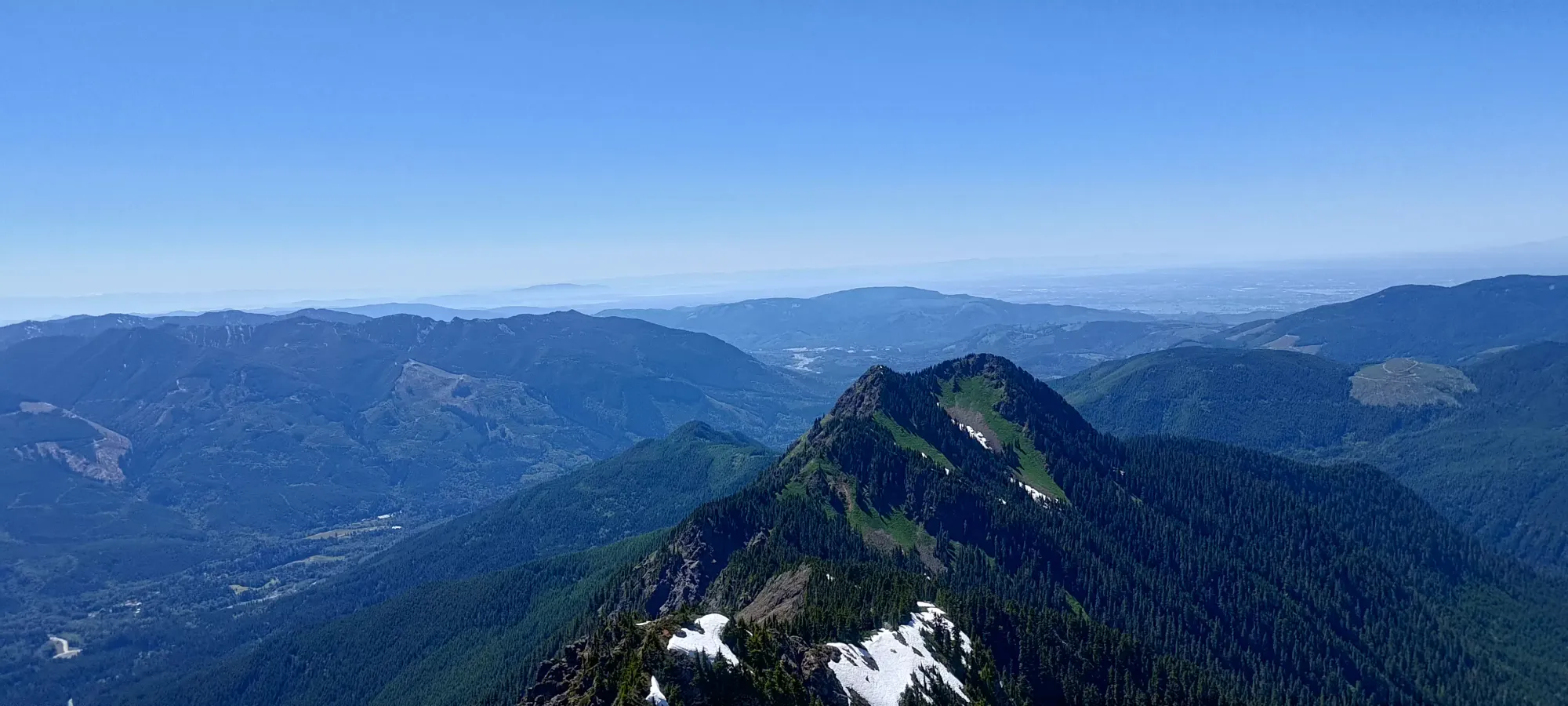
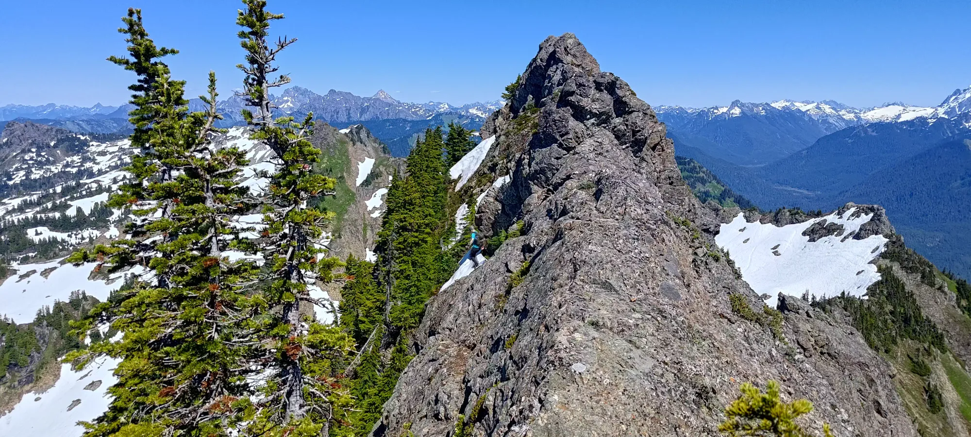
While a couple parties seemed to have taken the snow as far as they could to the base of the true summit, we thought that traversing the ridge might be more fun (and technically less elevation loss/regain, if things worked out nicely). So, we started our traverse by descending off of the viewpoint, and making our way through the various ups/downs on the ridge. There were a couple exposed traverses to stay on the rock, but the rock was solid, and the moves not difficult, so we didn't have too much trouble. On the "crux" of the traverse (near the start), Michael and I took one descent on climber's right, wrapping around the top of a small bump, whereas Logan stayed high and had a more interesting descent off of the nose, but we all got through okay.
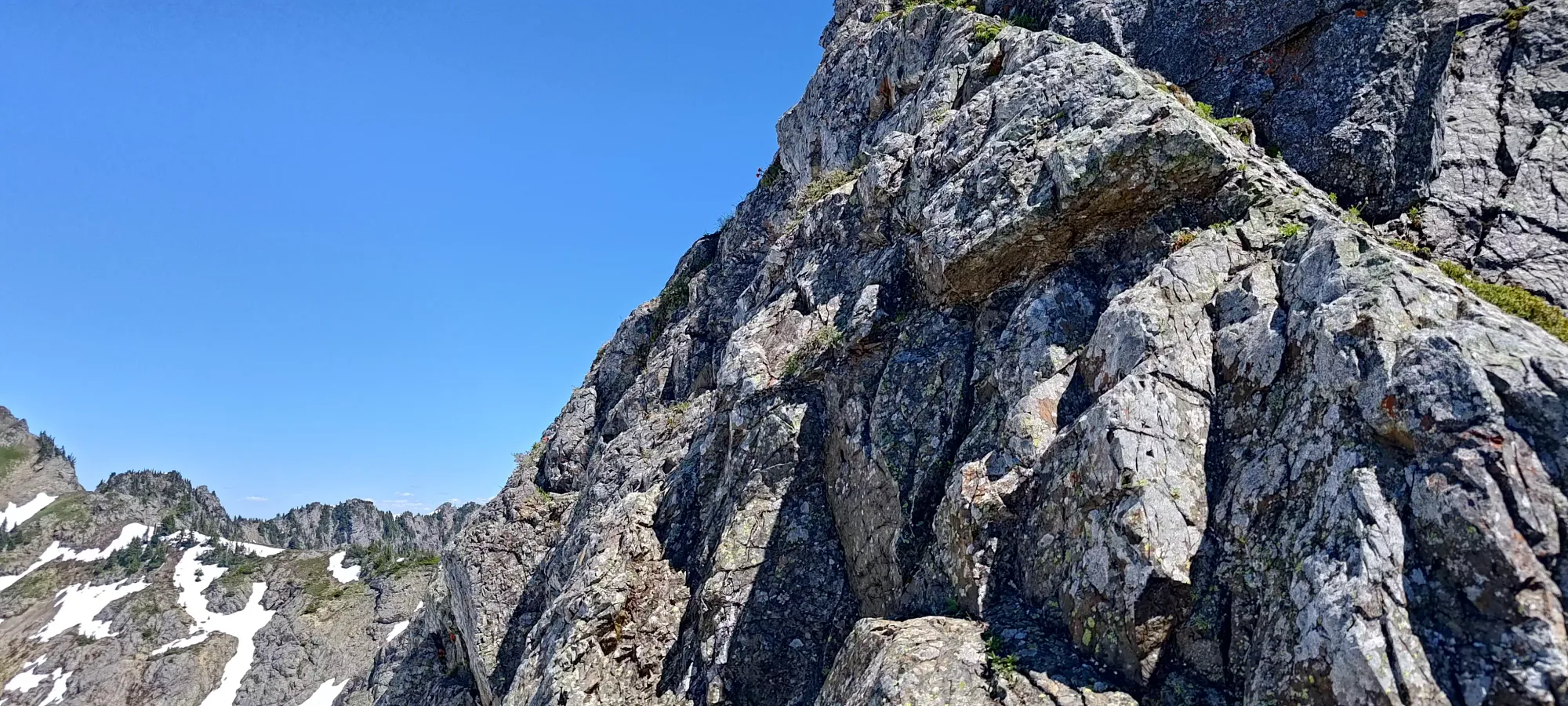
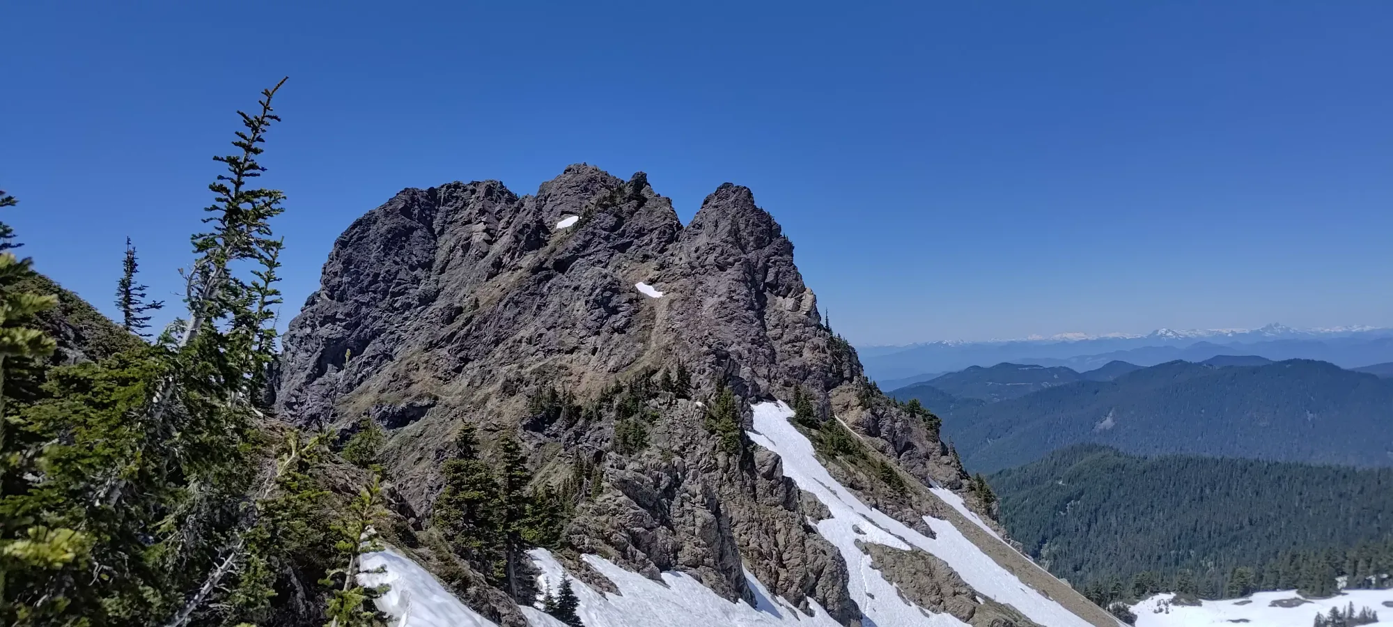
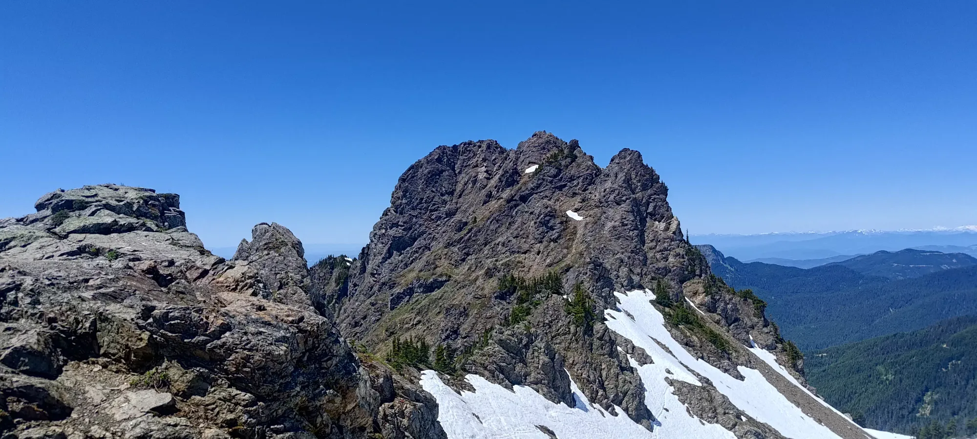
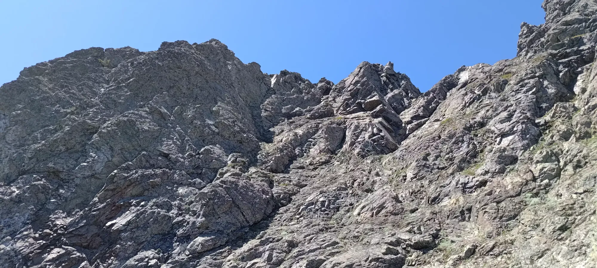
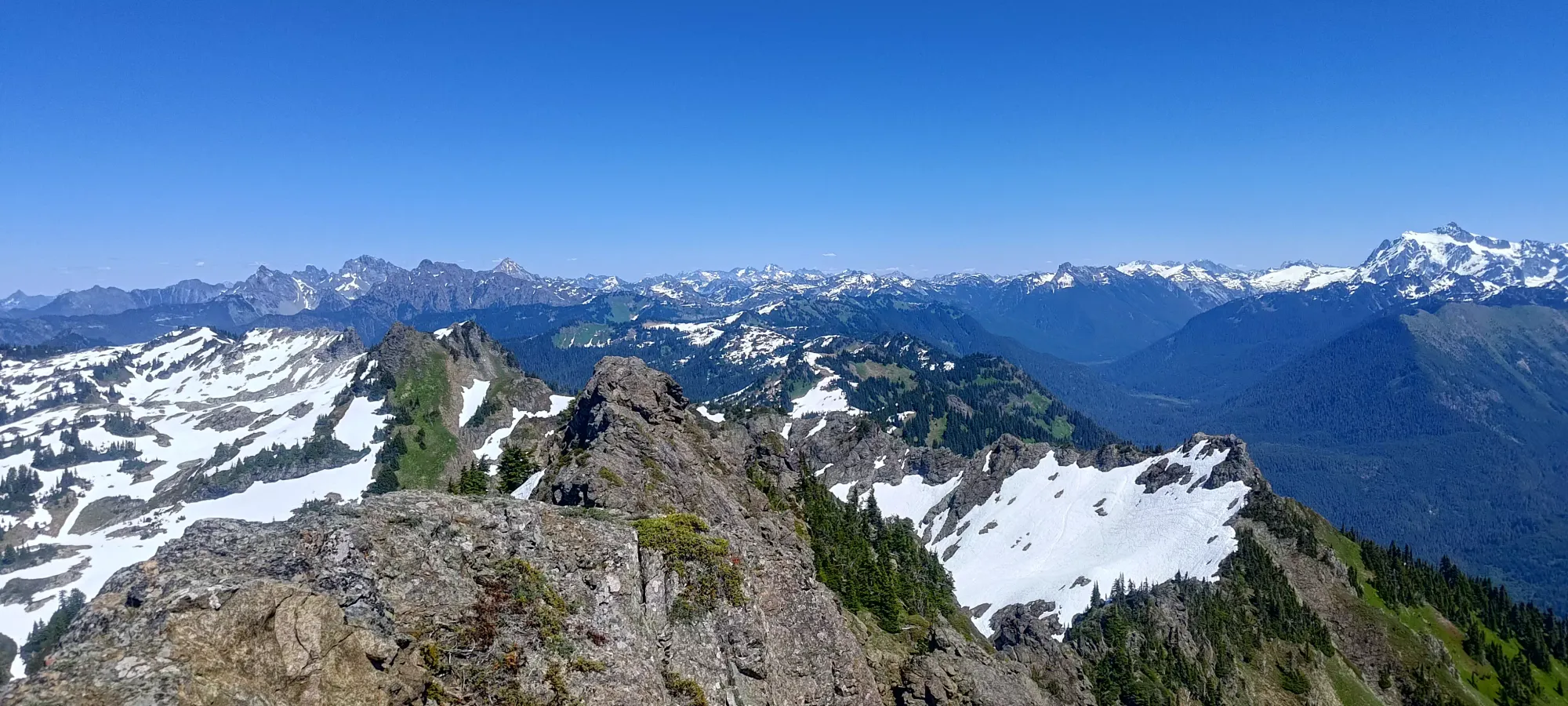
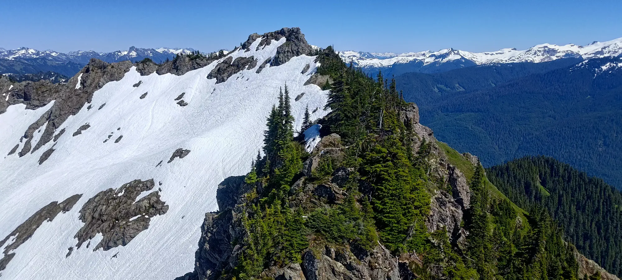
We then put our spikes on and/or took our axes out (Logan eschewed the former but brought the latter, Michael and I were the opposite) for a brief snow crossing for convenience, then joined the ridge around the bottom of the col once again. The rest of the ridge was fairly easy, mostly just following a faint scrambler's trail, with largely just hiking or ledgy scrambling in a couple spots to get it done. Half an hour later, we found ourselves at the base of the triple peaks that make the Church Mountain summit massif.
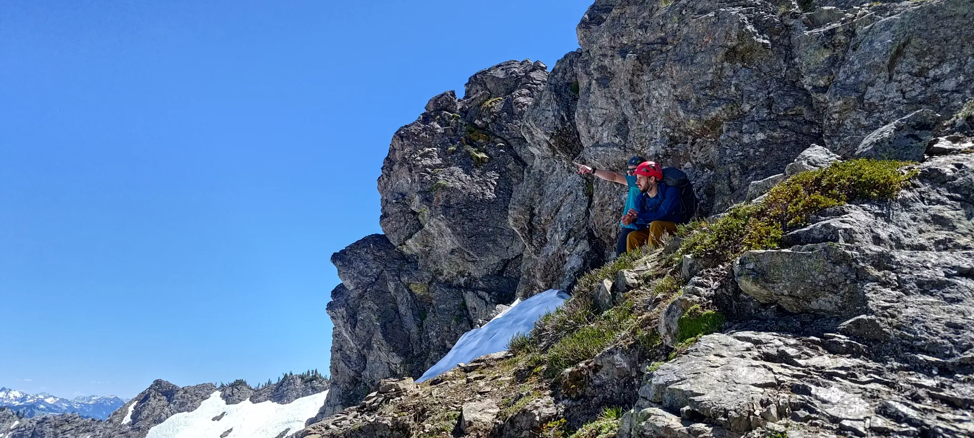
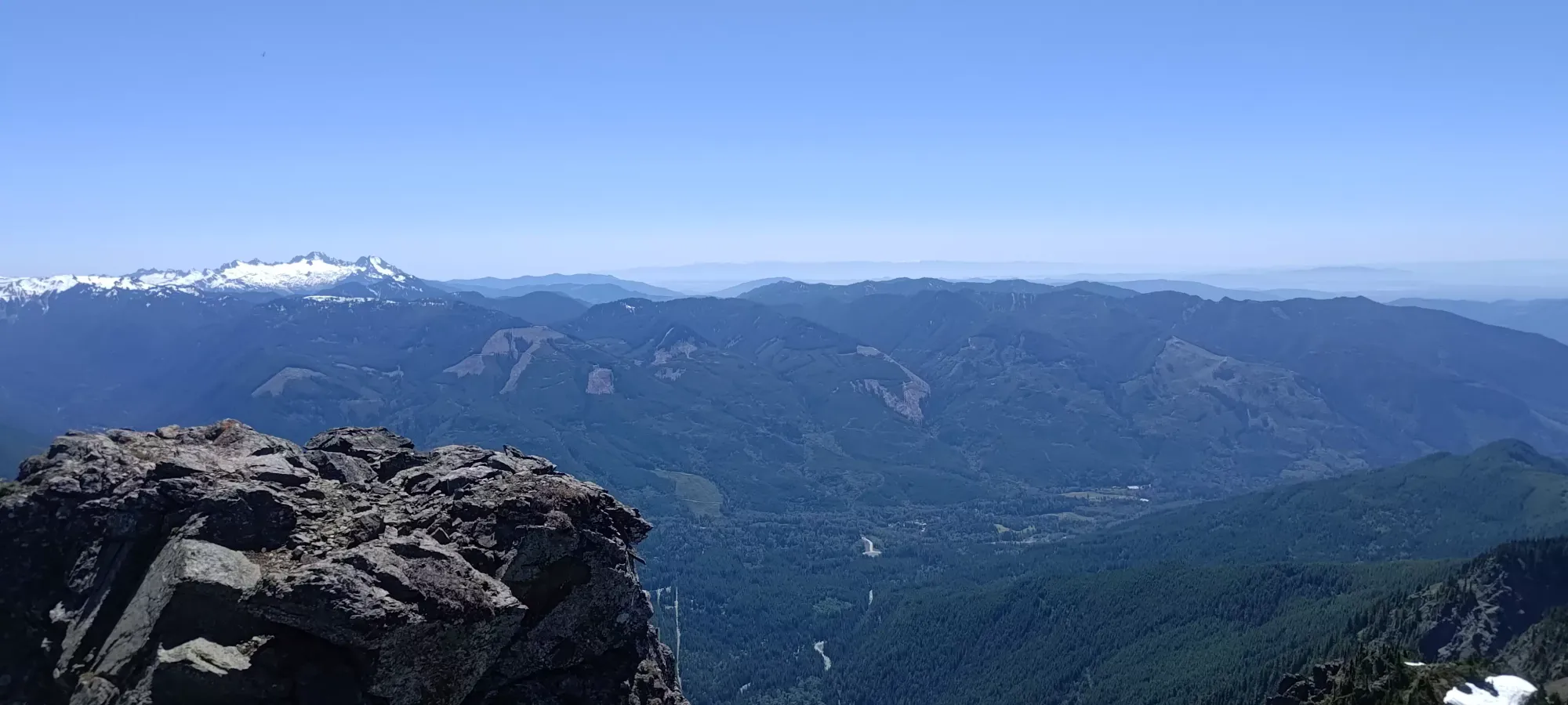
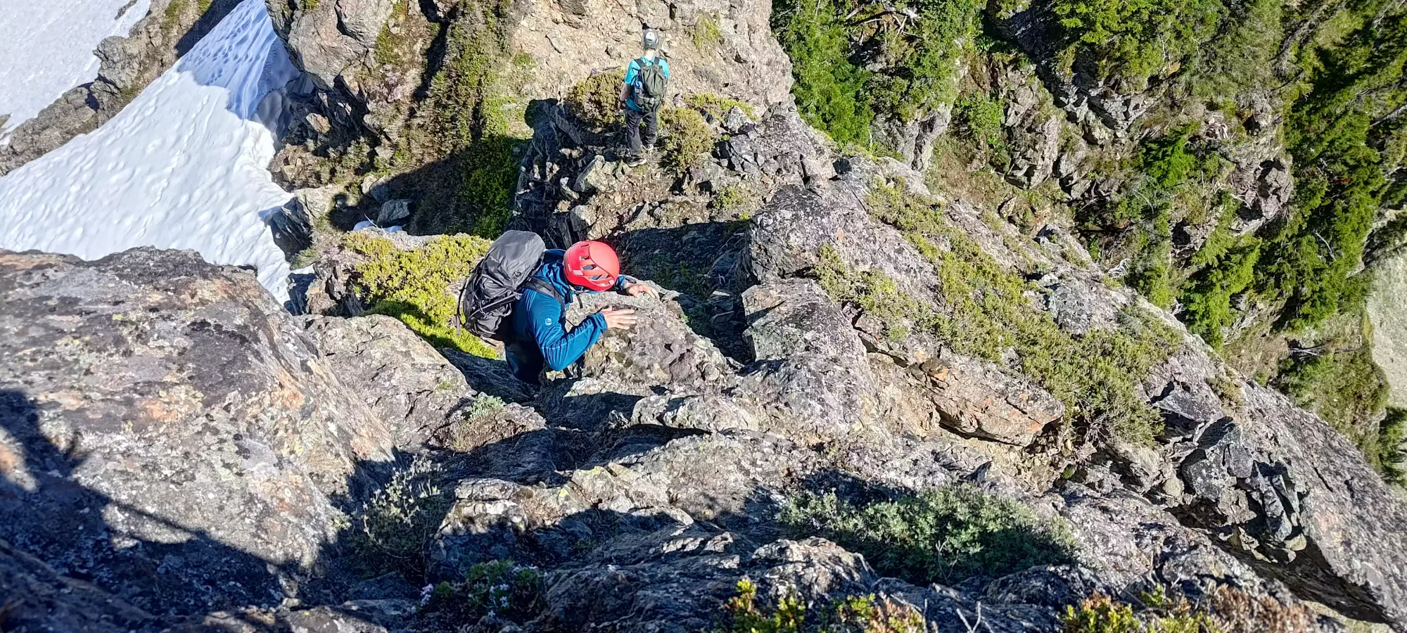
From the base, we followed an honestly annoying, faint trail that curved around the south (climber's left) side of the false summits to access the main face of the true summit. The trail wasn't technically difficult, but was on a steep face with pretty long exposure down to the valley, so we had to be careful. The loose rocks+dirt didn't help much, but in about 15 minutes we were done with that nonsense and found ourselves at the base of the actual scramble. The true summit was in a sort of steep, rocky "bowl", on the climber's left side. The easiest route up was to go climber's right to gain the summit ridge on that end, then ridge traverse to the summit. We mostly followed this, though we cut up a bit early (before reaching the end of the ridge) for added difficulty+fun. Going straight up the face below the true summit seemed like more of a climb than scramble, but you can always find out and let me know 😅🤣
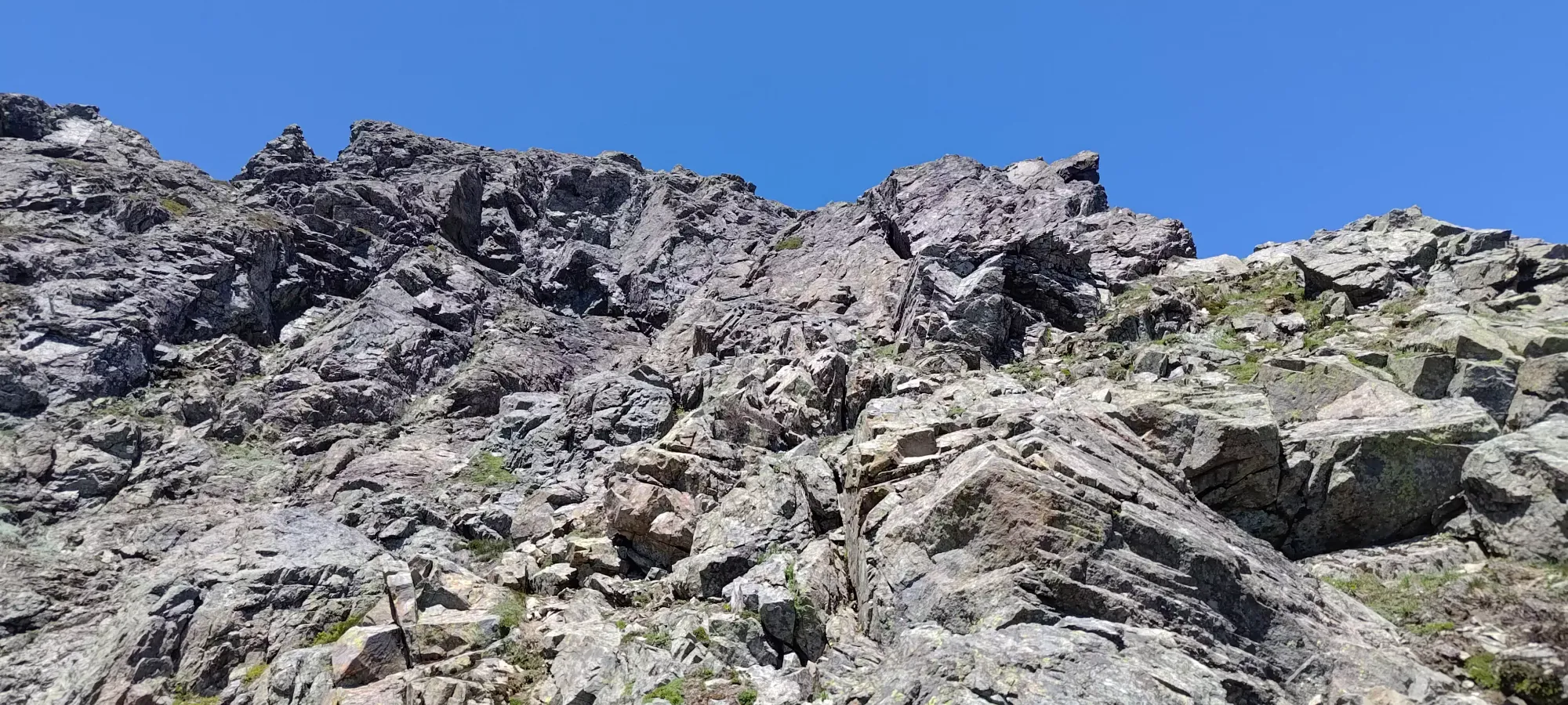
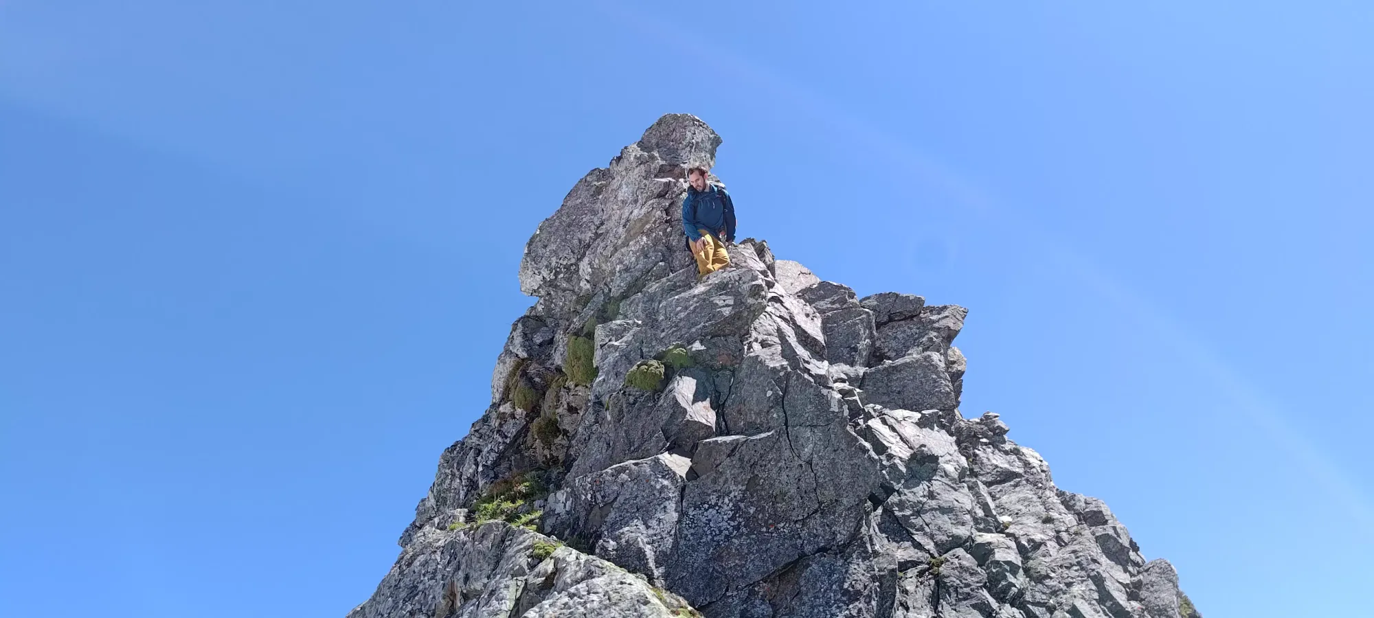
Once we got onto the ridge, the faint trail was once again visible, and we followed it a couple steps below the ridge on the north side, with only a few easy scrambling moves en-route to the summit, which we reached a bit after 2:30pm, or about 3:45 into the day, with lots of routefinding and extracurricular scrambling along the way.
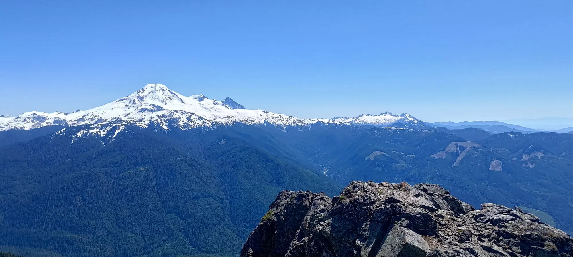
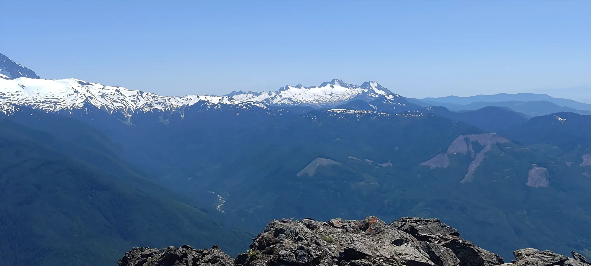
We had a long break on the summit, enjoying the views and getting some rest in, at least as much as we could in the extreme heat. At about 3pm, we started making our way down, aiming to get done while dinner could still be had at a reasonable time.
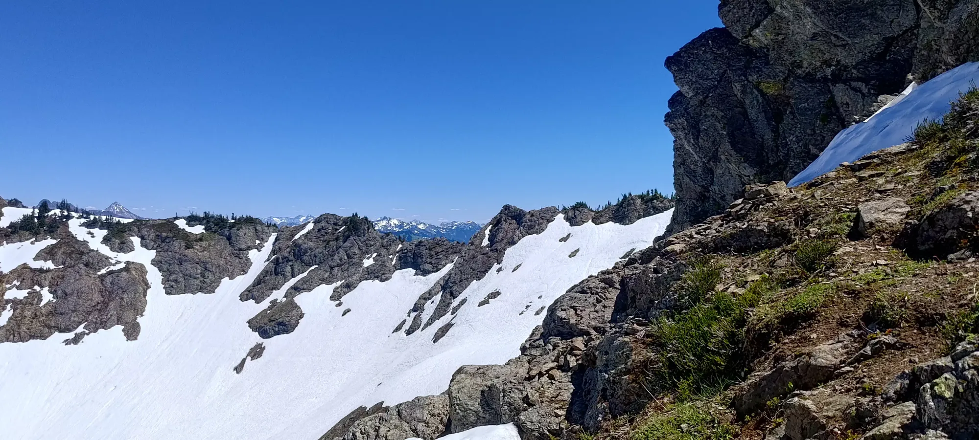
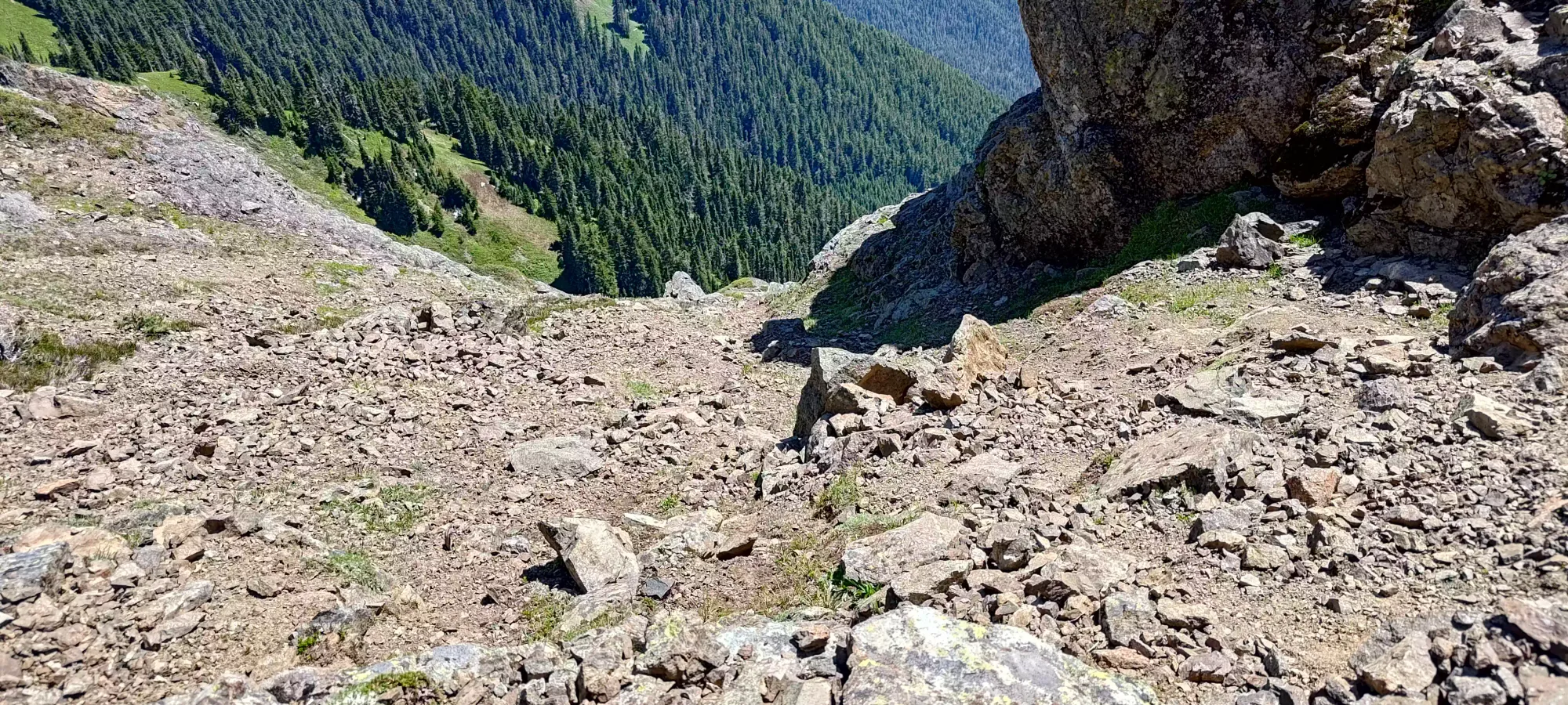
From the summit, we had a simple walk back along the ridge, then down mostly scree ledges to get back to the traverse; we could bypass most of the scrambling we did by sticking further to skier's left on the way out. A couple spots were a bit slippery on the half-forested ridge, but nothing terrible.
Once we were back on the traverse, we decided to go for points and scramble the whole ridge back, instead of taking the snow bypass we did on the way up. This proved to be fun and doable, though it took a bit longer since the scrambling got our heart rates up more than just hiking on the snow, which was a concern in the heat. I specifically needed to call for a few minutes near the end to keep myself from overheating. I would say without snow, being (presumably) forced to stay on the ridge, this would be a fairly difficult scramble for the average hiker, but for people who seek out scrambling, quite fun.
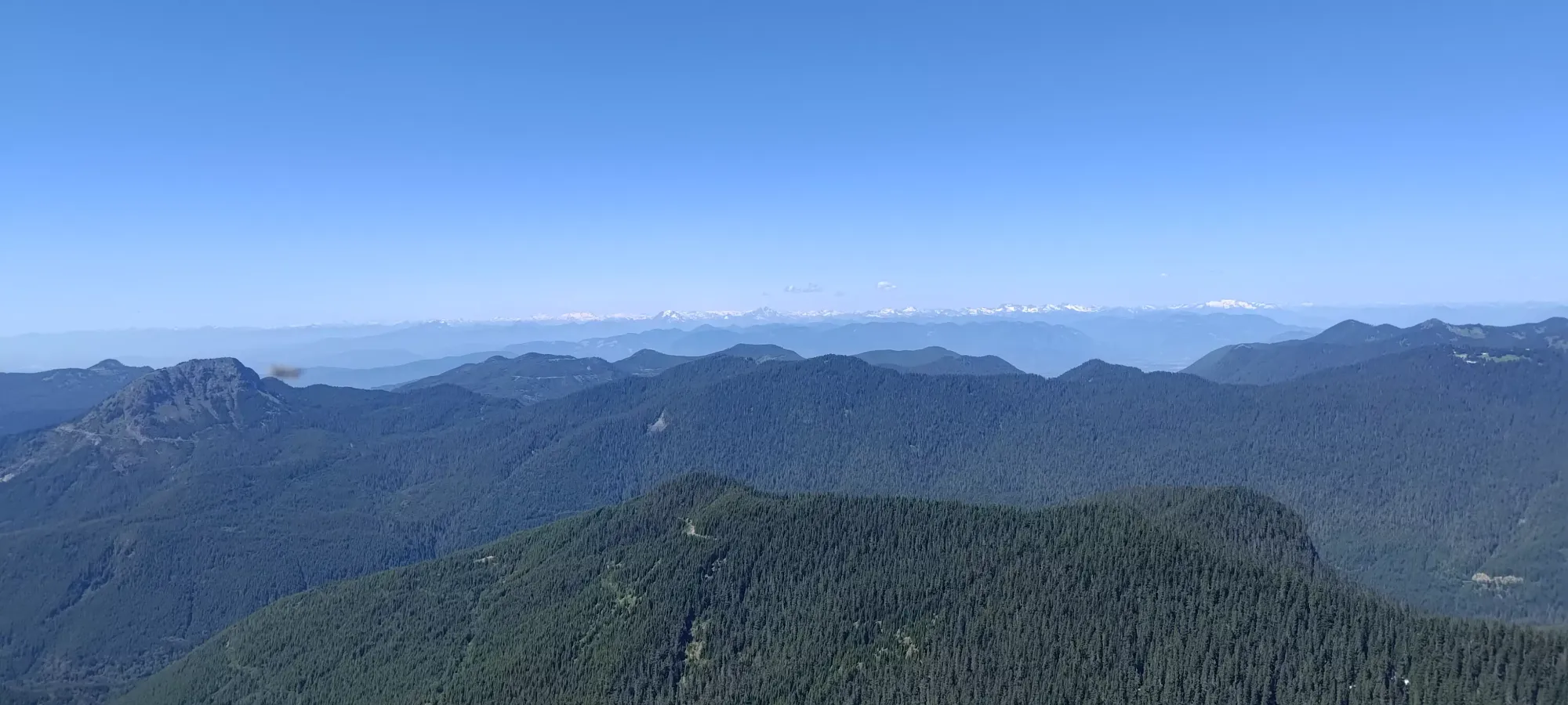
We got back to the viewpoint just over 3 hours after leaving it, more than it took to get to that point (which was the vast majority of the elevation gain). Of course, we took some breaks, and didn't take the easiest route up, but it shows how much more time-consuming scrambling can be vs just hiking. After getting ourselves some more water on the viewpoint, we started the hike out.
The way down was fairly uneventful, other than stopping to refill some water, we chugged down for about 50 minutes until we got back to the forest, something we were all eager for, as the forest meant shade from the beating sun.
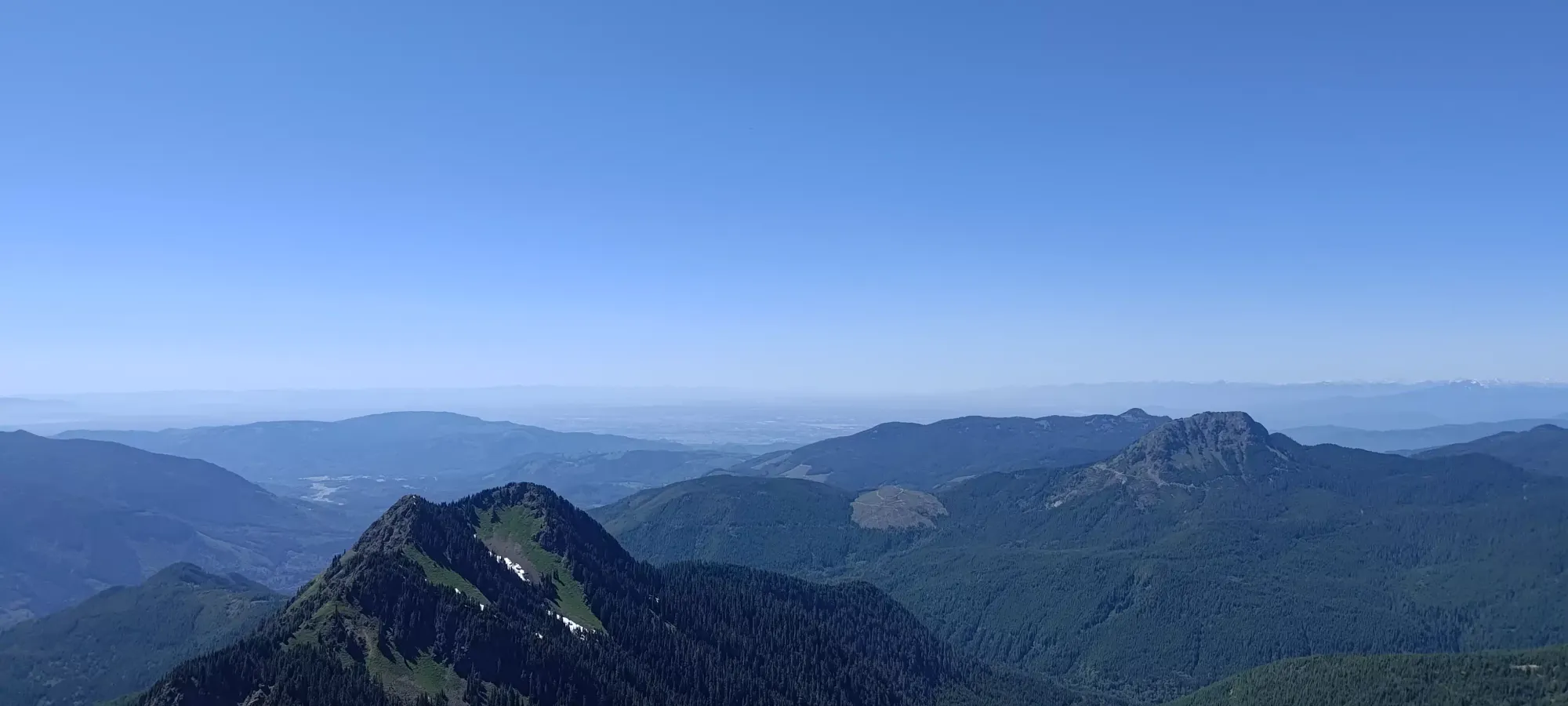
From there, it was another 75 minutes of hiking to get ourselves out. We didn't move at the fastest pace, mostly to try and prevent me from having any weird digestive problems (I was starting to feel some activity down there and wanted to delay that until we got back into town, if possible). Once we were out, it was a simple drive back to the border (not without stopping for some cheap gas and a meal, of course), then back home to Canada 🙂
I'd say this is a pretty excellent objective, and recommend it highly. The scramble is fun, the approach is easy, and it really isn't a big day, stats-wise. Plus, with that snow I saw on the north side, I'm wondering if a spring ski ascent from Forest Road 3130 up to the ridge, timed perfectly to get the ridge dry where needed, might work out for some nice skiing as well... Someone should do that (if nobody has already)!
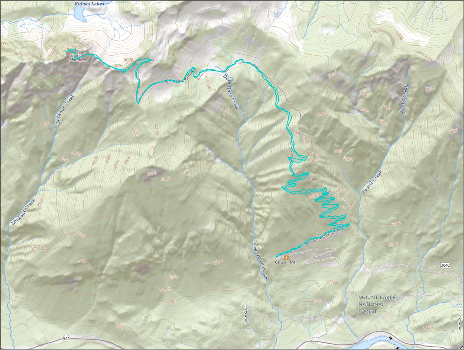
GPX Track + Map