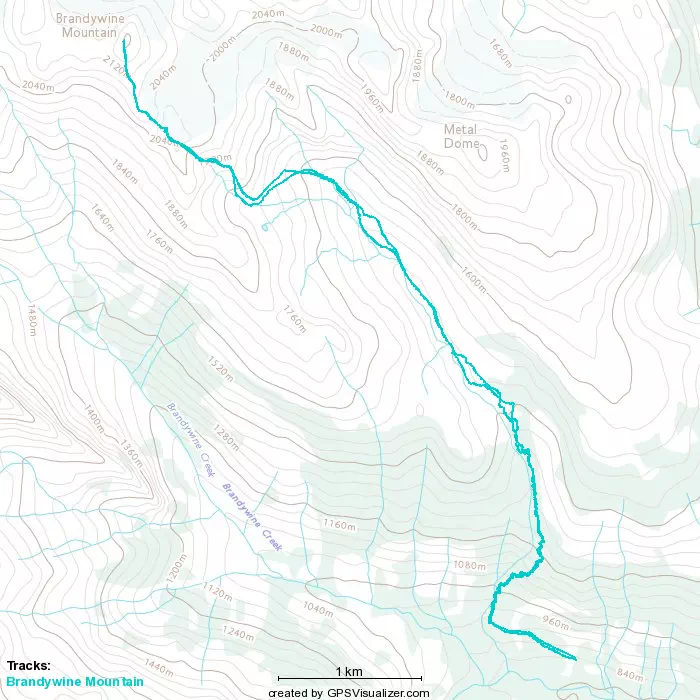
Brandywine Mountain - July 1 2022
Coast Mountains, Squamish, British Columbia
2213m
Finally, a peak Steven Song hasn't bagged yet! With my main partner-in-crime gone for the weekend, but the weather looking great and it being a 3-day weekend, I knew I couldn't sit around at home. Plus on Canada Day, what's more Canadian than bagging a Canadian peak? I couldn't come up with a good answer. So, I messaged around on Facebook, found someone willing to join in on the fun, and we set off from my place in Squamish around 7AM (he had to come from Maple Ridge, so it took a bit longer than either of us would have preferred to get going).
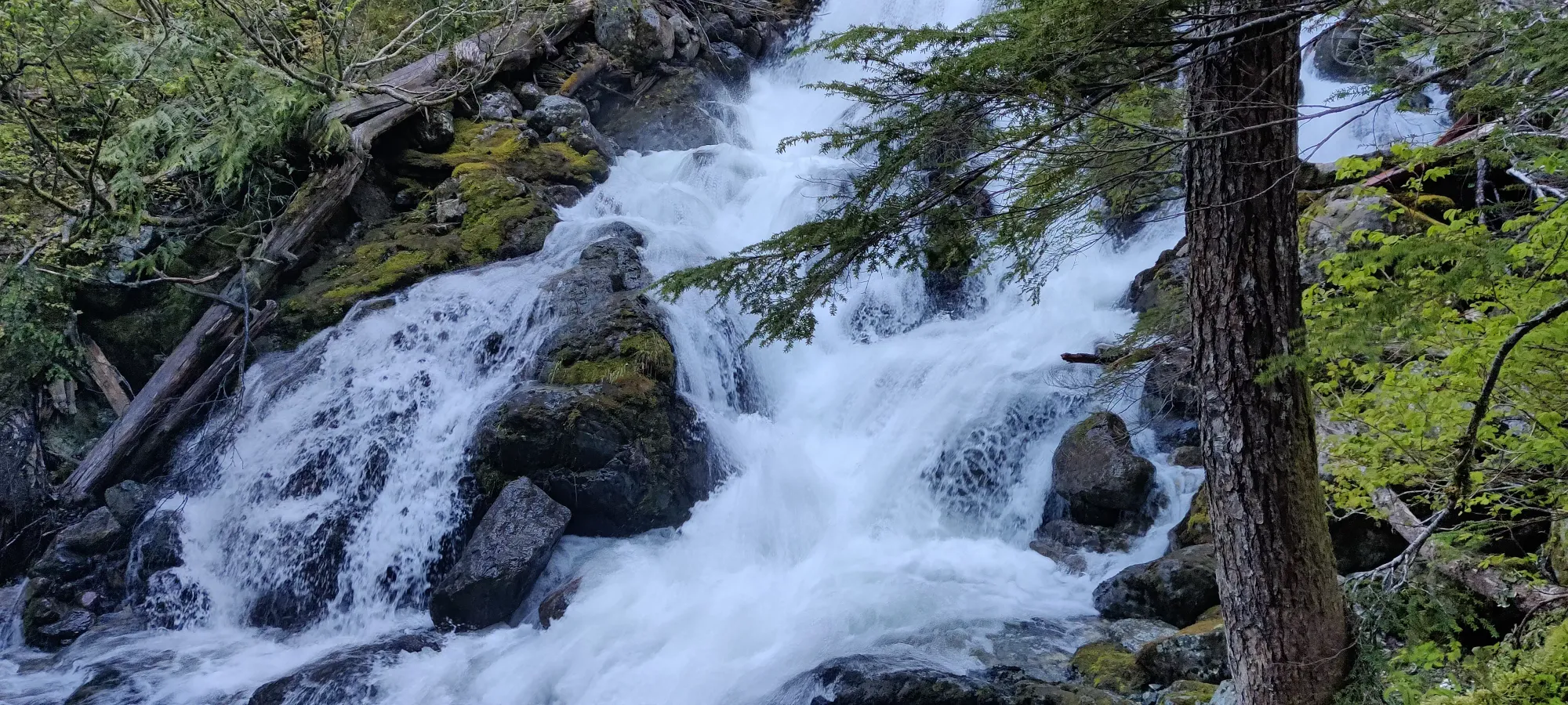
We took his Ford Escape (thanks for the better-than-my ride) down Brandywine FSR to about 1km before the trail, and set out from there at about 8am. The FSR walk is pretty bland, just uphill walking. Once you fork off to the trail, it starts gaining elevation pretty fast on a highly-rooted dirt trail, similar to Wedgemount Lake's first couple thirds. After about 15 minutes, we arrived at our first view, a pretty nice-looking waterfall. We didn't stay long, though, since we had a long day ahead of us, didn't know each-others' pace/capabilities that well, and also bugs exist (though they weren't too bad).
This continued for around an hour, getting continually a bit wetter/muddier as we approached the snowline. The Brandywine/Metal Dome area seems to be a pretty wet one with lots of creeks and snowmelt, at least this year, based on my experience in May with Metal Dome and this one. About an hour in we gained to about 1350m, where the snowline became consistent. The snow here was pretty terrible, honestly. This section is normally a bunch of bridges over meltwater+mud, but the snowline was just about here above that with tons of hollow space underneath, so postholing down violently into the ground was definitely a thing.
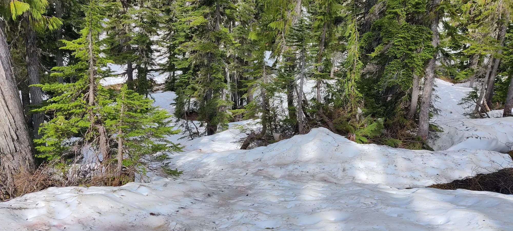
We picked and plodded around the shitty snow as best we could, with mixed results. I got a pretty big nick on my shin from going through the snow right into a rock not too far in. Then, we got to the creek crossing and decided the official path way was stupid and bushwacked our way up to some area a bit further up we managed to leap over. However, from there, we wandered around the forest for a bit longer than was necessary if we'd actually stuck to the path, and only regained the trail not too far from the meadows. After an hour or so of that BS, we emerged at Brandywine Meadows, and our optimism went straight up. We went from questionable snow and off-path wandering to great views and a clear way forward, and our spirits lifted.
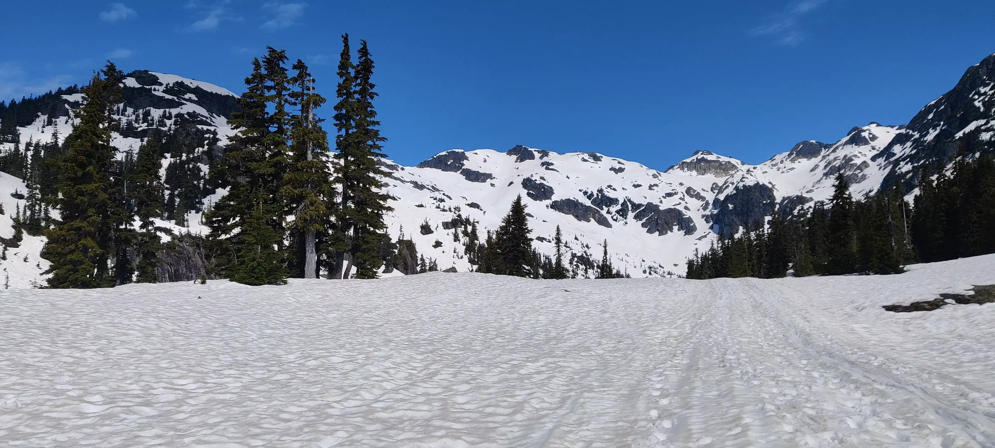
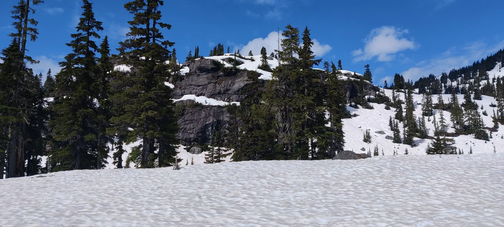
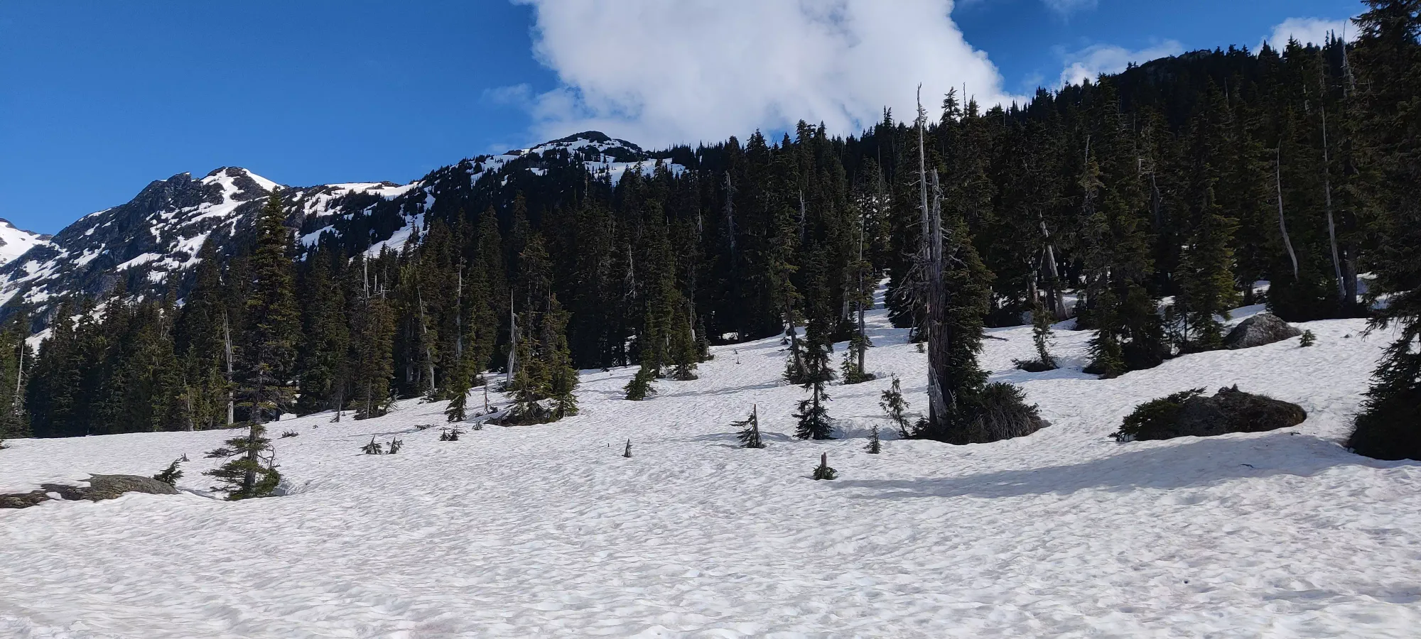
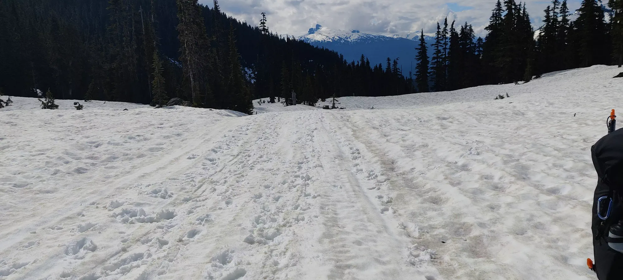
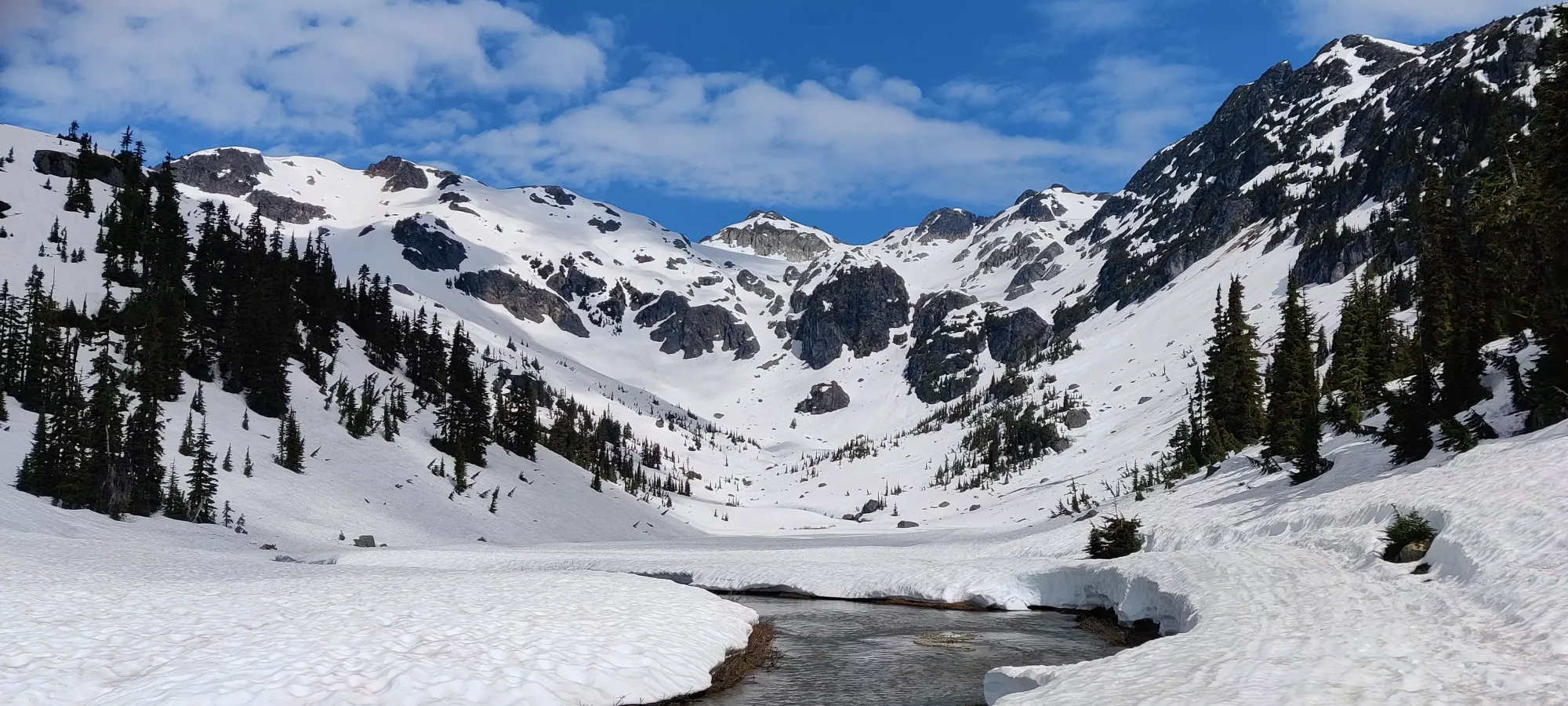
We spent probably half an hour or so just walking across Brandywine Meadows, which was a bit hard to identify given the lack of flowers and abundance of snow. Since it offers great views of peaks and bumps around it, though, we didn't really mind.
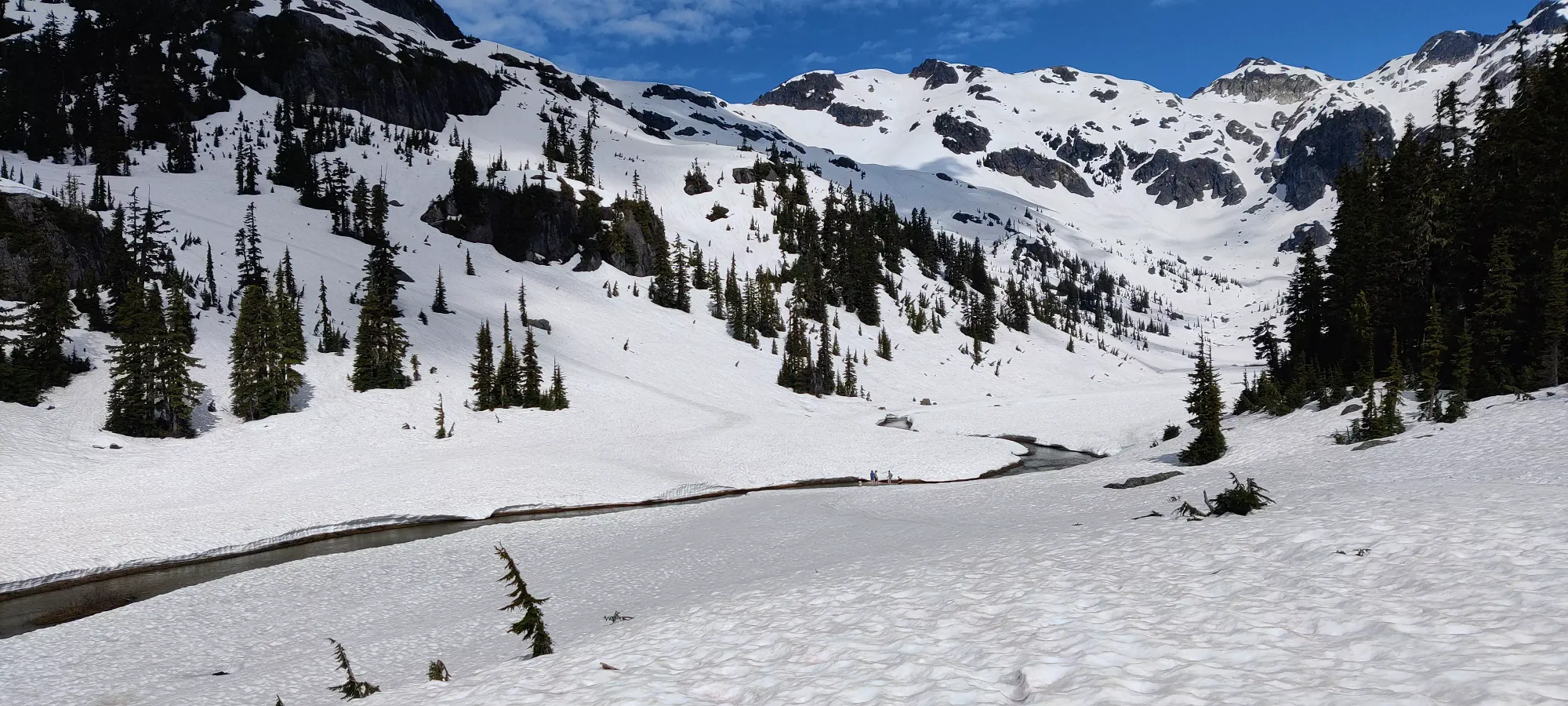
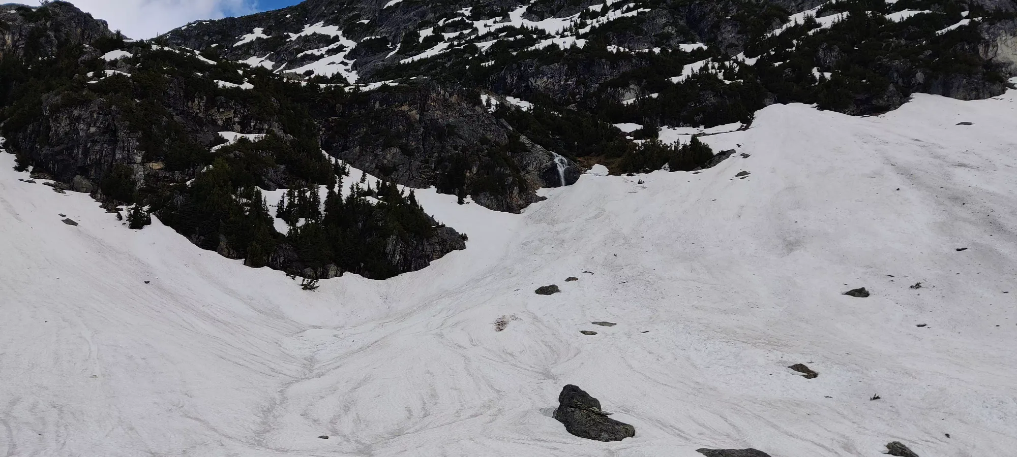
About 2.5 hours in we were at 1500m elevation, and 4.25km in. The hike, aside from crappy snowline snow and the bushwhacking/pathfinding that occurred to avoid the creek crossing trouble, had been pretty chill so far. We were going a bit slower than I might've solo, but not so slow I was worried about no summit. To this point we'd just bootpacked, I was even just using my trail runners and no spikes or anything (though I would have if I actually had mine, sadly a friend took em by accident last weekend so I'm without for another week until new ones arrive). But at this point, i strapped the snowshoes on, as we were about to start gaining meaningful elevation once more.
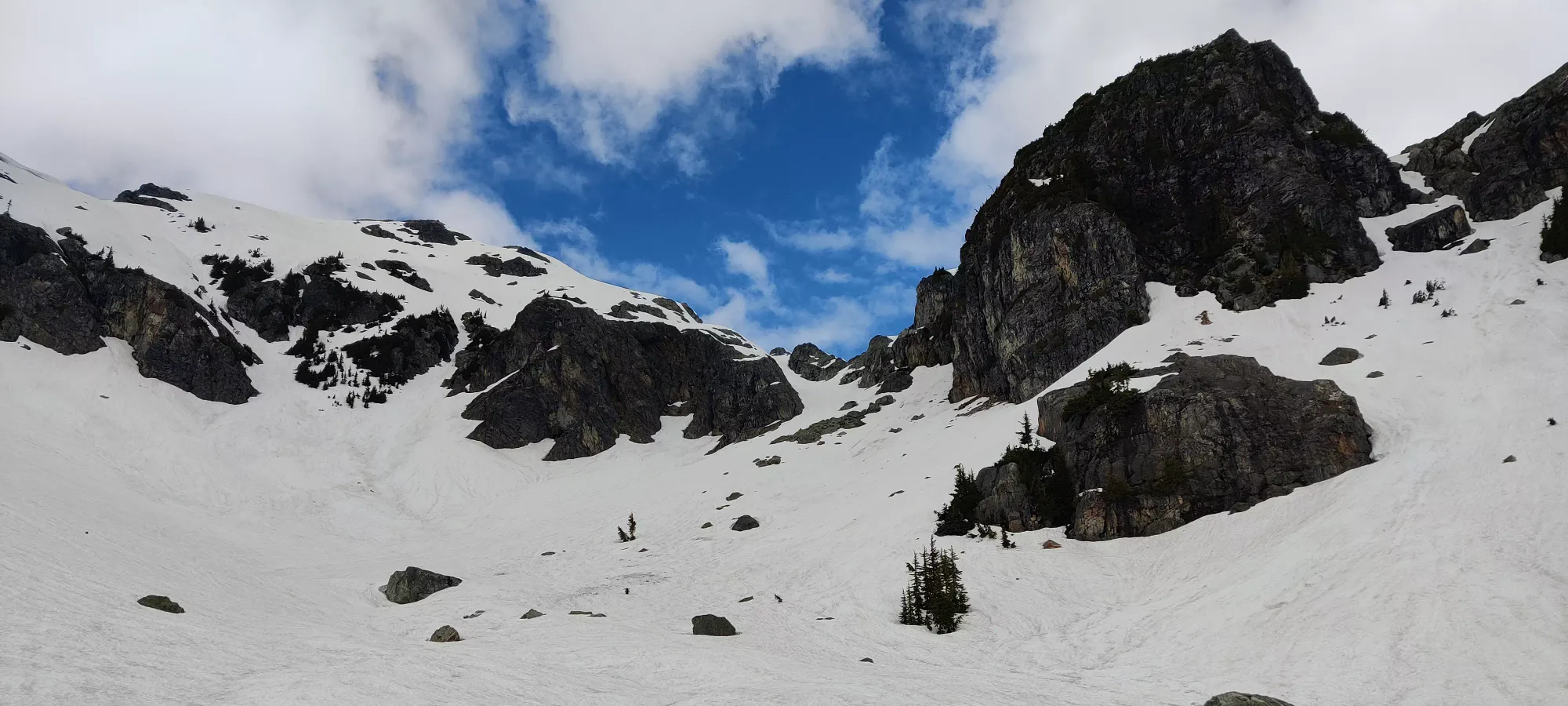
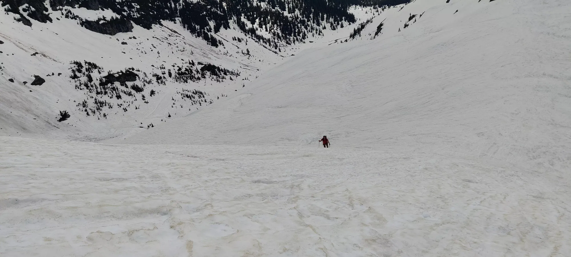
Progress slowed down quite a bit here, but since the snow was holding out, and I planned to go out the following 2 days as well, I didn't mind the more leisurely pace. Over the next 2.5 hours we slogged up, gaining 550m of elevation up to about 2050m. This is some pretty steep stuff, enough to easily be some very fun skiing and glissading for the way down. It was here we met a pair of skiers, who apparently had some skin trouble like I did last week on Columnar Peak, which was the reason I decided not to ski this time. We chatted for about 20 minutes while my partner continued on, as he had faith I'd catch up (while I simply lost track of time, unware he'd even continued). But we had a nice conversation, and after they headed down (hard to go up that far bootpacking with ski boots), I caught up at the crest of the ridge from above in about 10 minutes. This is about 2100m of elevation, so more or less the home stretch.
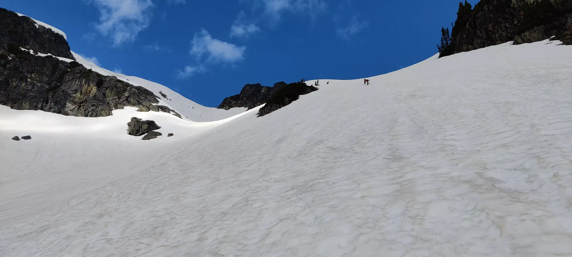
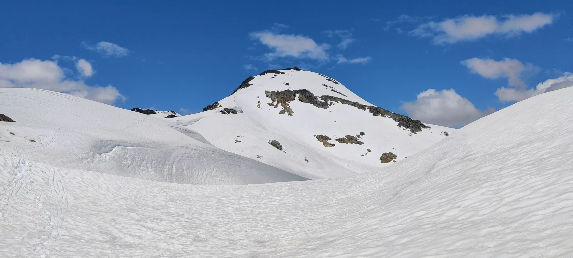
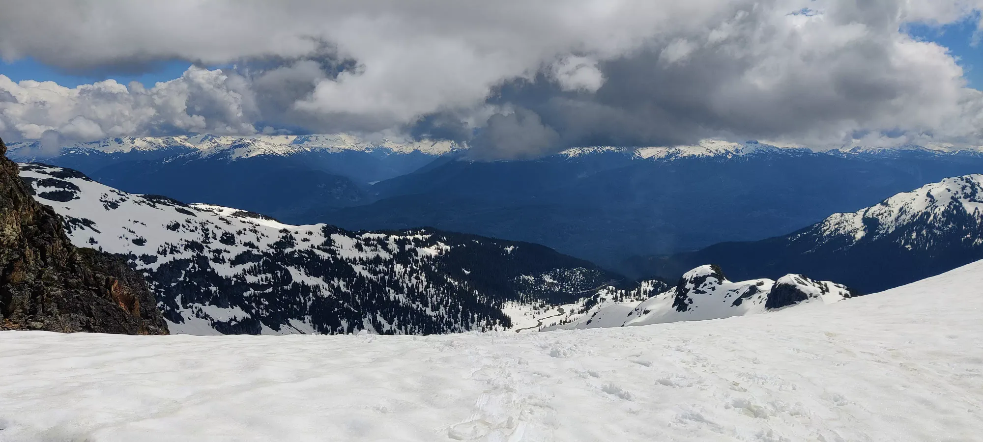
From here, it was just a quick jaunt (though at our pace, about 30 more minutes) to the peak, which we hit at about 2pm, or 6 hours in. We took a long break up there, almost an hour to relax, chat, soak in views, and take some pictures.
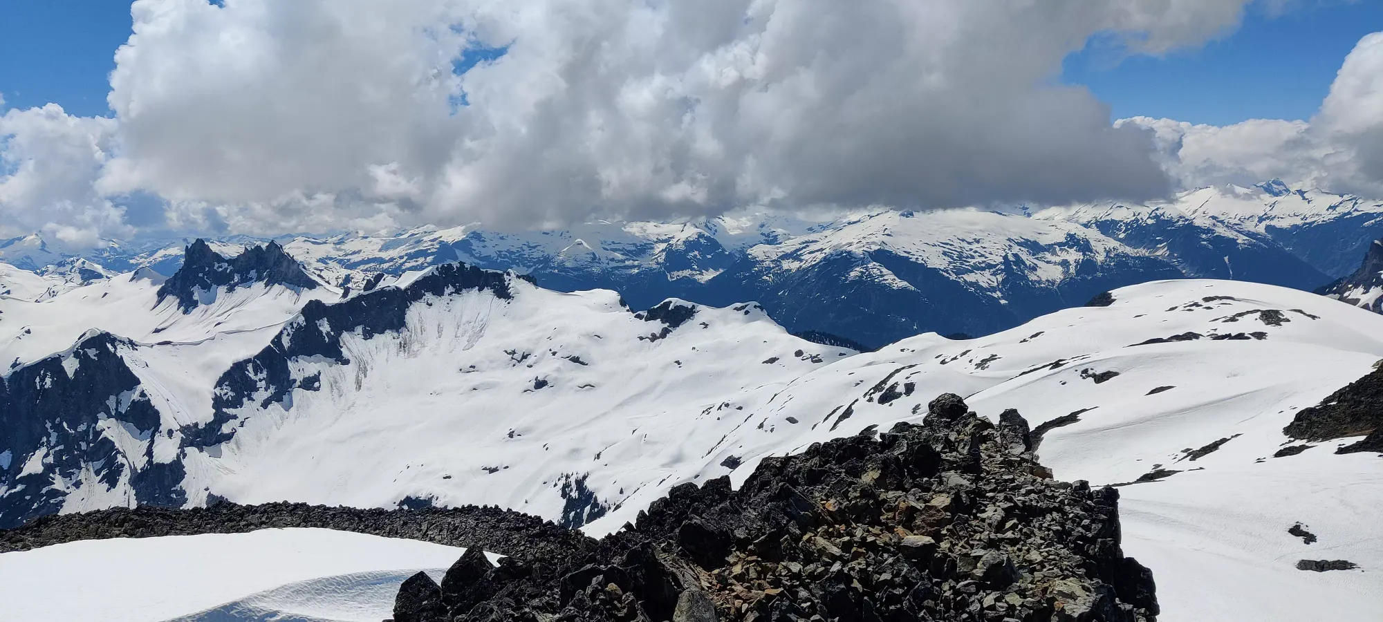
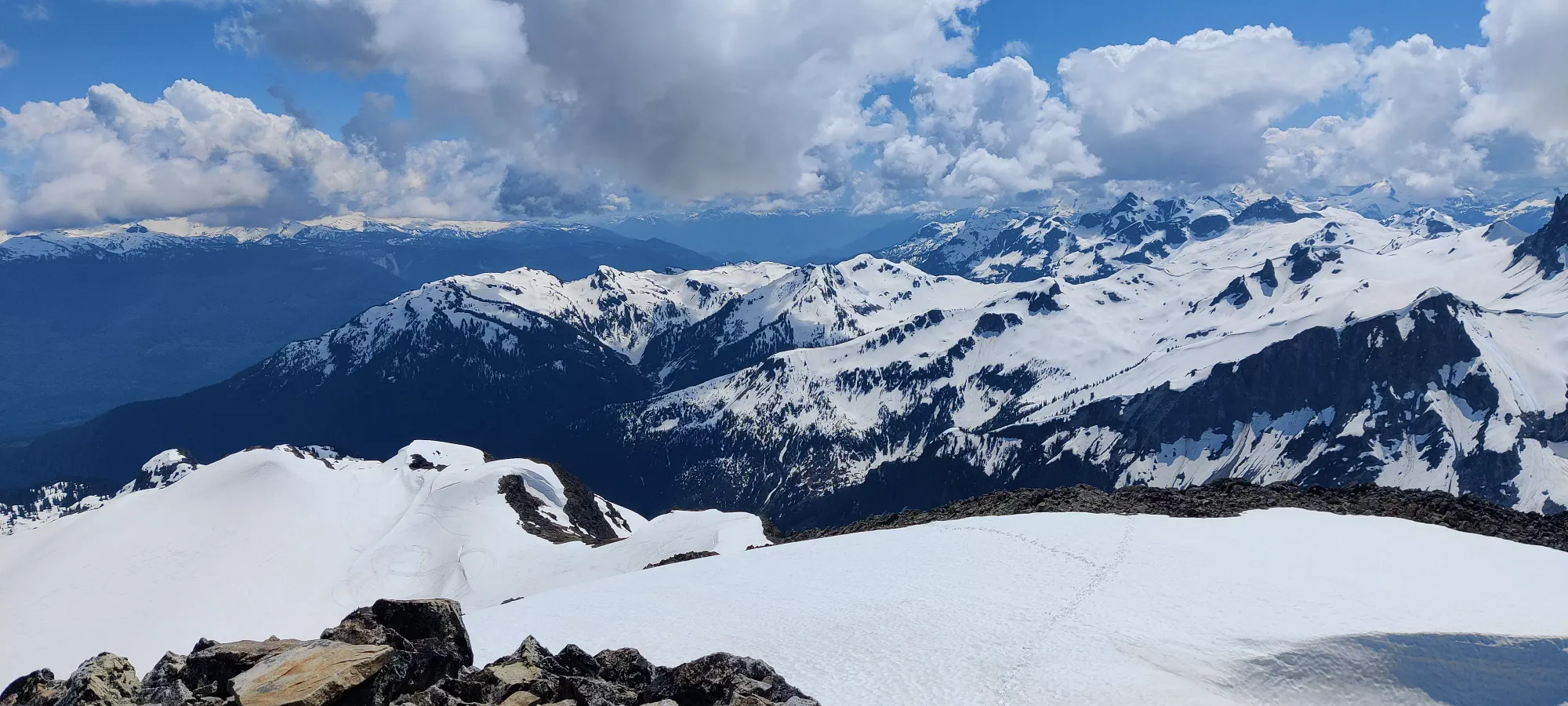
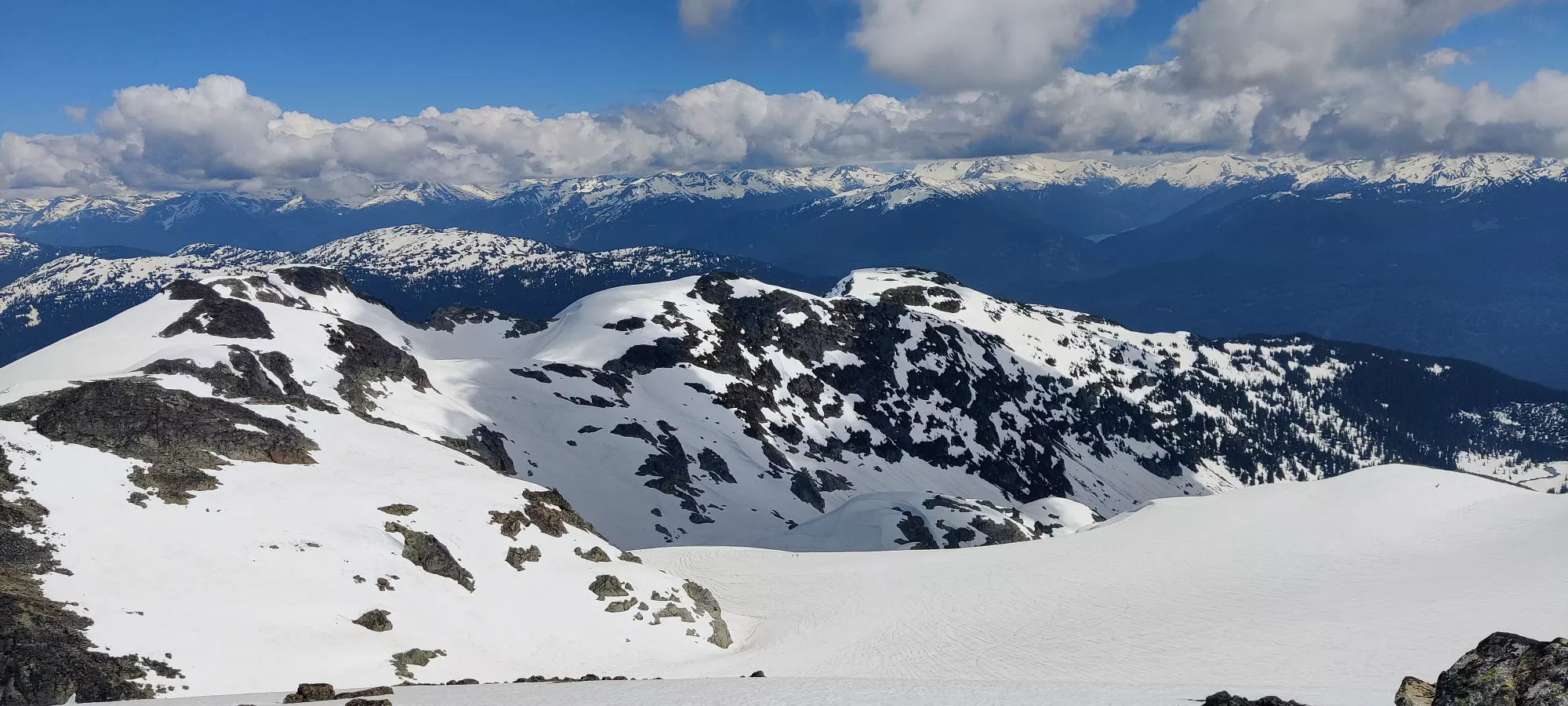
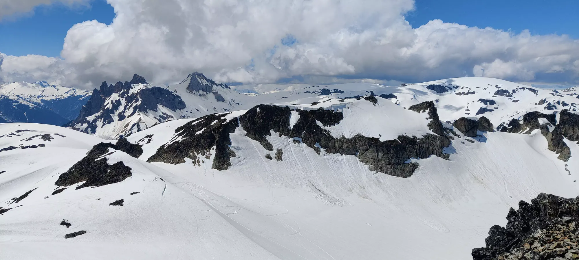
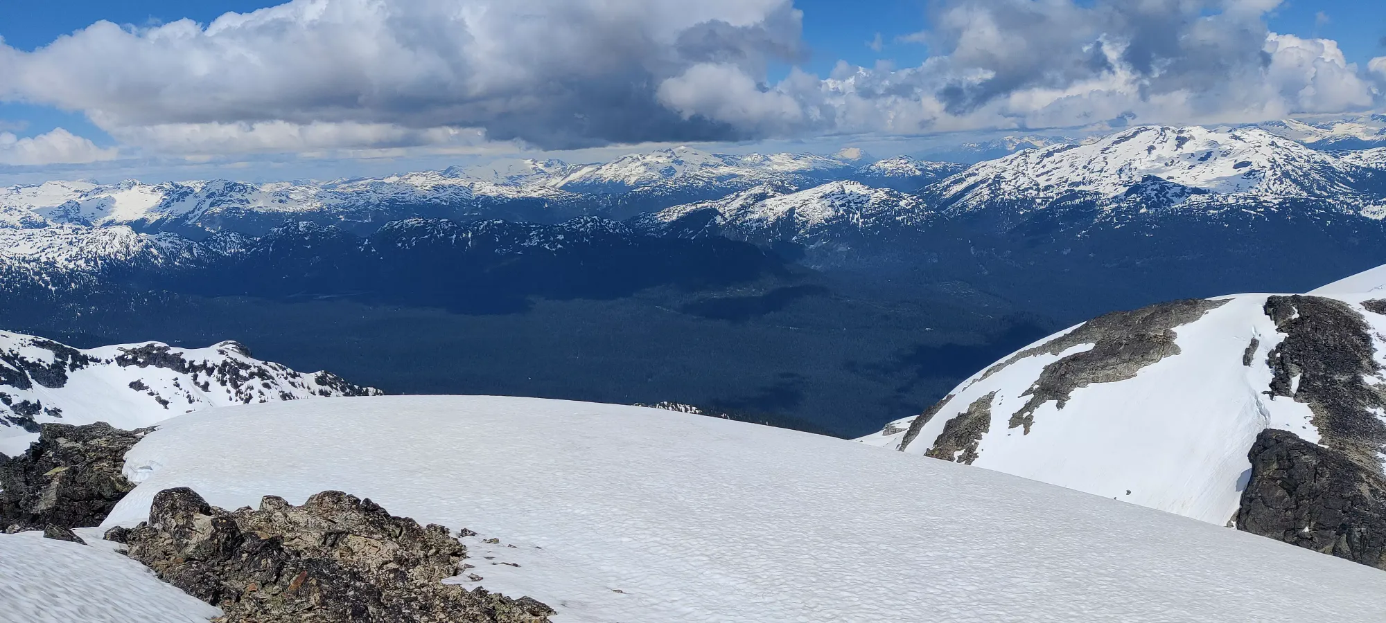
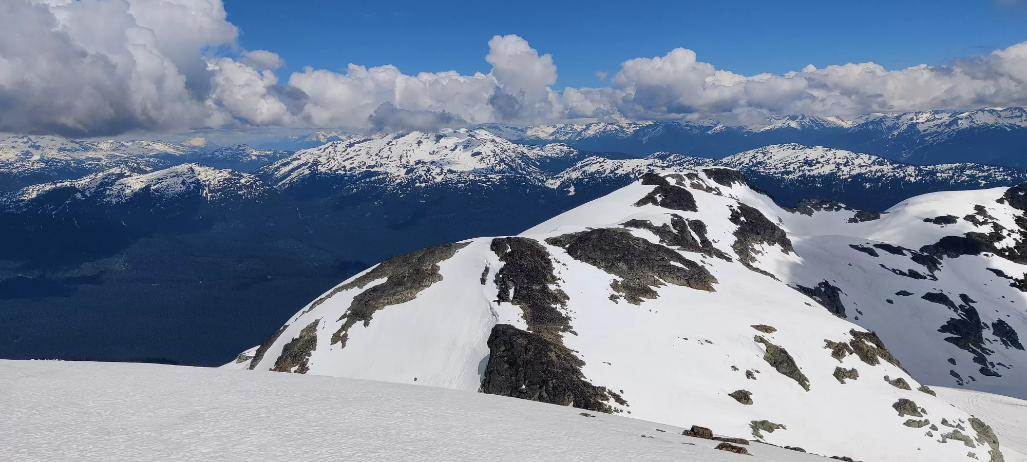
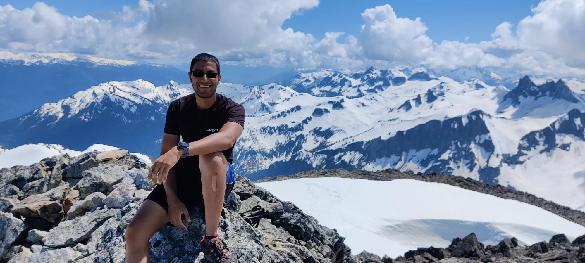
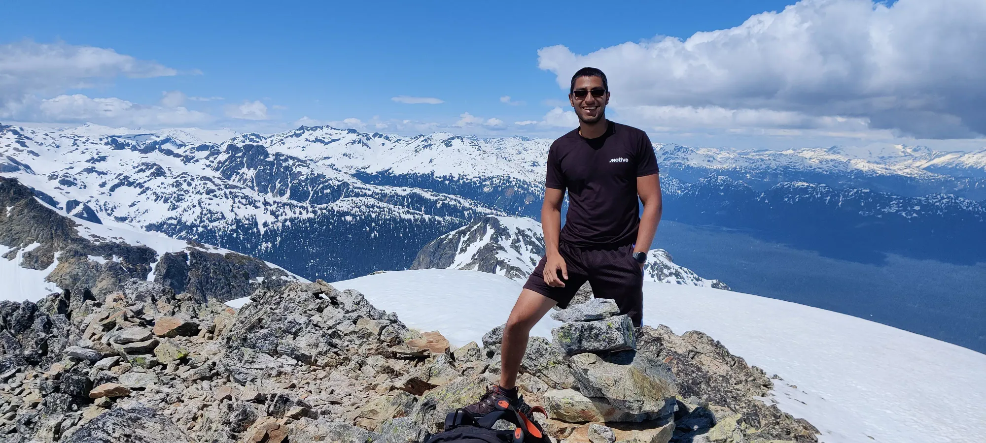
After much summit frivolity, we started heading down at about 3pm. The path back to the ridge crest was pretty uneventful, except for 1 little section going around a hill which was very unpleasant in snowshoes on wet snow, I really missed have spikes there. But with some careful footwork and axe-use, I got through it.
From there, I managed to convince my partner that glissading would be much faster and more enjoyable than trying to step down the steep face, so the next hour and change was spent with self-arrest and gliss lessons, followed by some practical demonstrations until we got down into the meadows again. This worked well despite the wetness of the snow, since the angle was so steep. It did make me feel slightly bad I didn't bring my skis, but the party with soaked skins that turned back reinforced my decision. Plus, my partner got to pick up a new skill! As for me, I learned that when you're planning to gliss, bring real gloves; the liners I had got soaked and cold very fast.
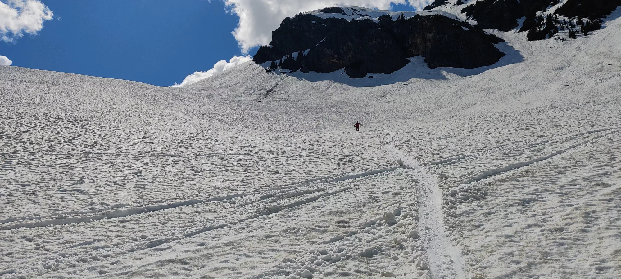
From there, we walked through the valley for about another hour, then plodded down for another hour and a half, which was basically the same as the way up except we kept the trail for most of it this time. The only real event of note was the creek crossing, the spot we used previously was now impassable, as the melt from the day got the water level too high for that. We had to bushwhack up to another spot where we only had to momentarily dip a foot into the water before getting across, then the way down was pretty much the same as the way up, but with more knowledge about where to step, and more tracks to follow, so less postholing despite the warmer snow.
Overall, a pretty good trip. Got a new peak, one Steven Song hasn't even bagged yet, and found a new friend! If you push a bit faster than we did, I'm sure you could save a couple hours without too much hurt. If you're really intense, you can snowmobile almost all the way to the top, we saw a couple that only turned back maybe 50 vertical metres away due to a giant cornice that probably wouldn't take that much load.
GPX Track + Map
