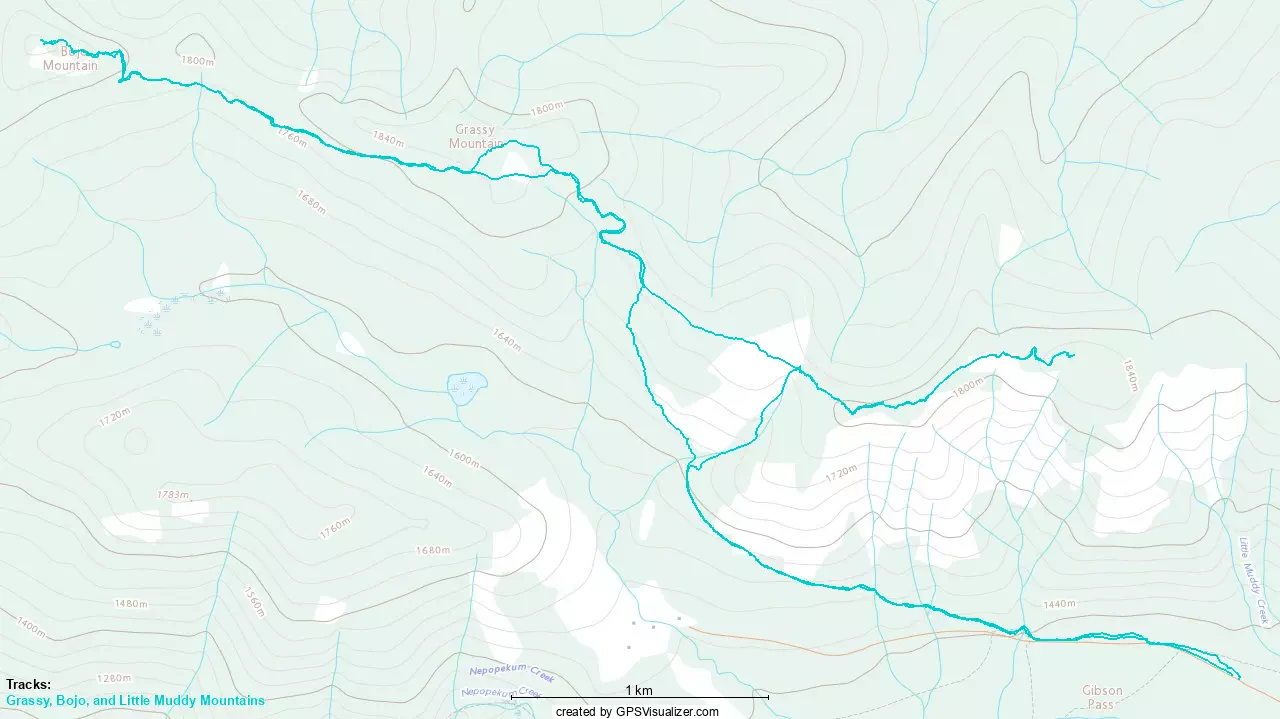
Bojo Mountain - November 30 2024
An easy ski or snowshoe peak on the north side of the Manning Park Ski Resort, making for a great summit for poorer weather, harsh avalanche conditions, or just "if you're already skiing there" and get a peakbagging itch. Easily combined with Grassy Mountain, which is en-route from the resort
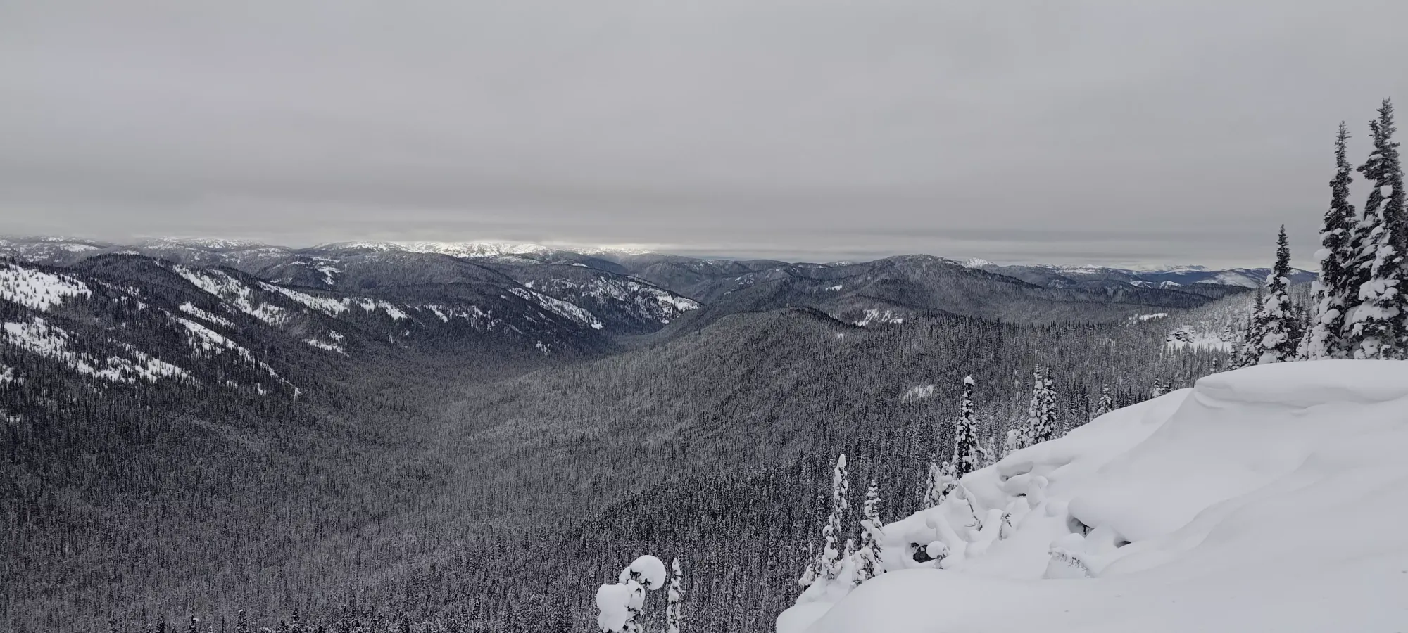
South Hozameen Range, Manning Park, BC
1895m
This trip report continues on from that of Grassy Mountain, which we summited on the way towards Bojo Mountain. Once we ripped our skins, we had a short forest ski down the southwest side of the peak to rejoin the Poland Lake Trail, which we were planning to take down to the Grassy-Bojo col. Sadly, while the snow was nice, dry, and light, the coverage in the forest was still fairly thin, so we had to stay pretty slow and light on our feet to avoid bottoming out on logs. It was still more fun than walking, though, so we had that going for us.
After a few dozen metres of descent, we got back onto the road (Poland Lake Trail is a road, basically), and then skied/shimmied down the road for the next 10 minutes until we hit the low point of the trail, ~1750m. The col is technically a bit higher, closer to 1770-1780m, but the terrain is so low-angle and forested that taking the road just makes more sense, even with a little extra elevation loss/regain necessary as a result. Sadly, there were no tracks past Grassy Mountain, so the road, while technically powder, was slower than ideal as a result. If it was steeper that would've been a good thing, but with the low angle, you're just straightlining the whole thing, so it being slicked up by previous skiing would actually help.
Once we bottomed out, we slapped our skins back on, and started walking back up the road, aiming to take it back up to ~1790m, which is the high point of the trail, where we'd dip into the forest to gain the last 100m to the summit. We dispatched with that 0.5km section in about 10 minutes, and then dipped into the forest. I didn't really research the optimal route very much, and just went by contours and intuition. That intuition led me to believe that getting as "on the ridge" as possible should help with getting thinner tree coverage (and therefore deeper snow coverage), making for easier travel. So we made a beeline right for the ridge (not that it is particularly sharp or anything), and that paid off in spades.
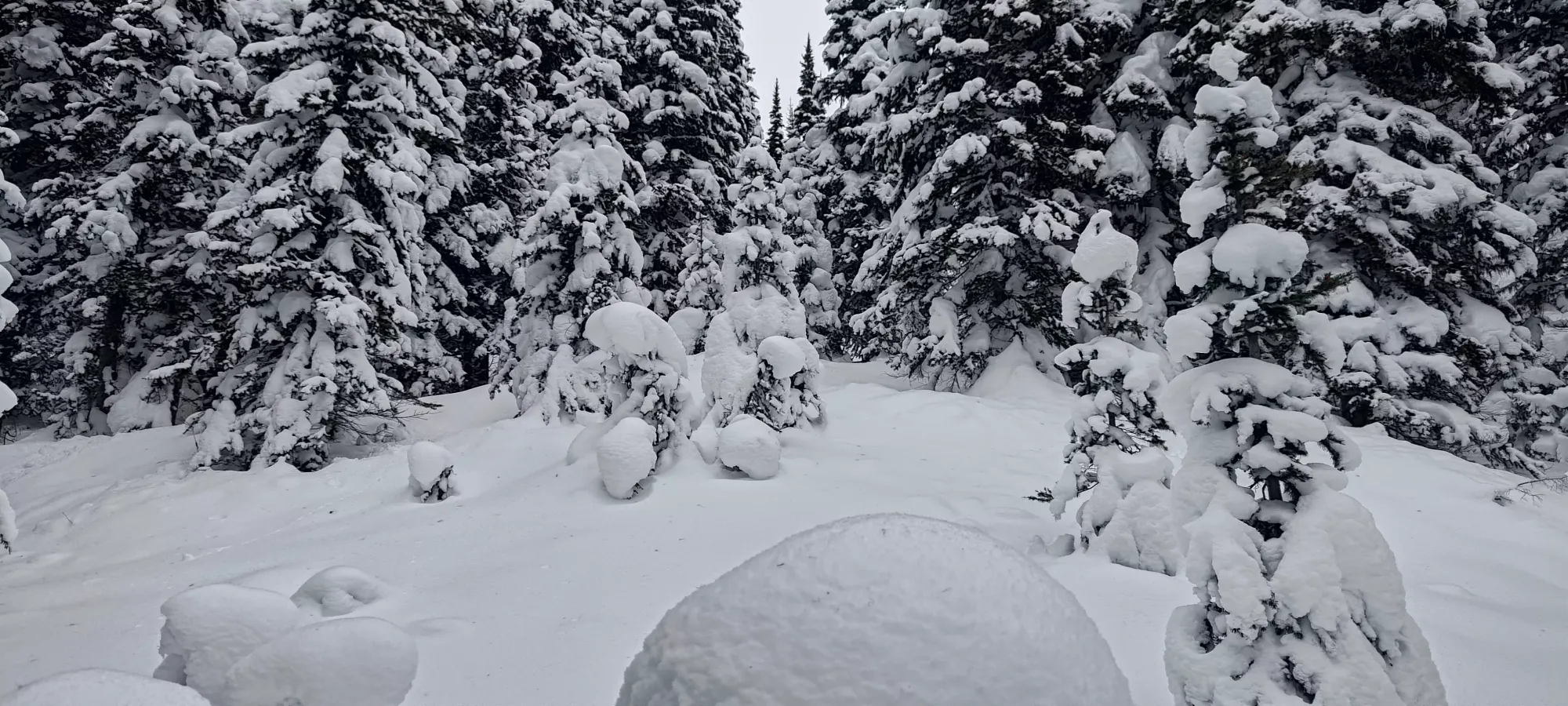
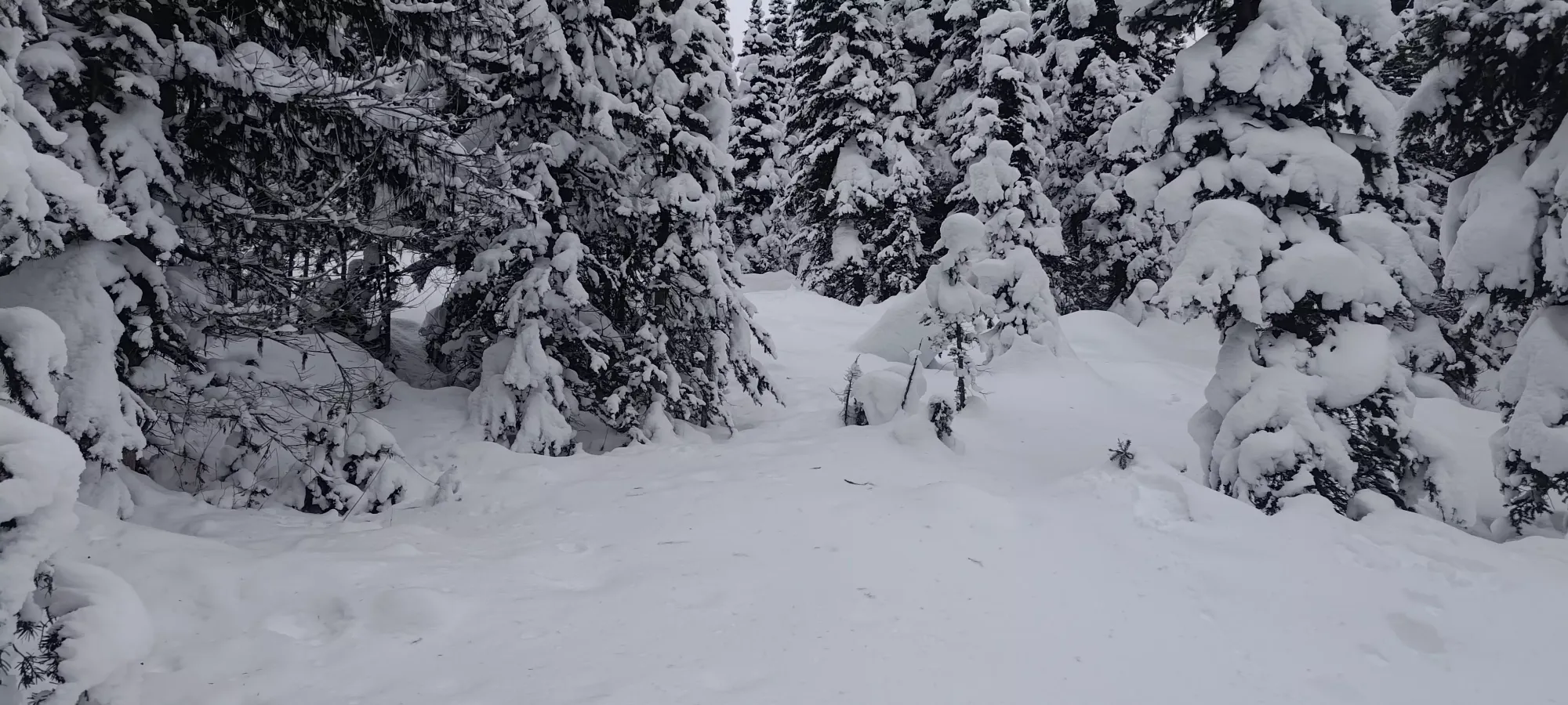
The terrain getting up the ridge was pretty great. My hunch was right, and unlike the rest of the forest, which was fairly dense, I'd describe it as open trees, with enough snow coverage to skin and ski comfortably, and we easily wound our way up in about fifteen minutes. The only difficult terrain was just before the summit, where we made a short, slightly exposed traverse over the steep north side of the mountain, but otherwise it was just "follow the gaps in the forest up", and worked great 🙂
Once we got to the summit (once again, Nick even came the entire way to the top 🎉), we took some pictures, then moved back to the open slope a bit closer to the aforementioned traverse to transition.
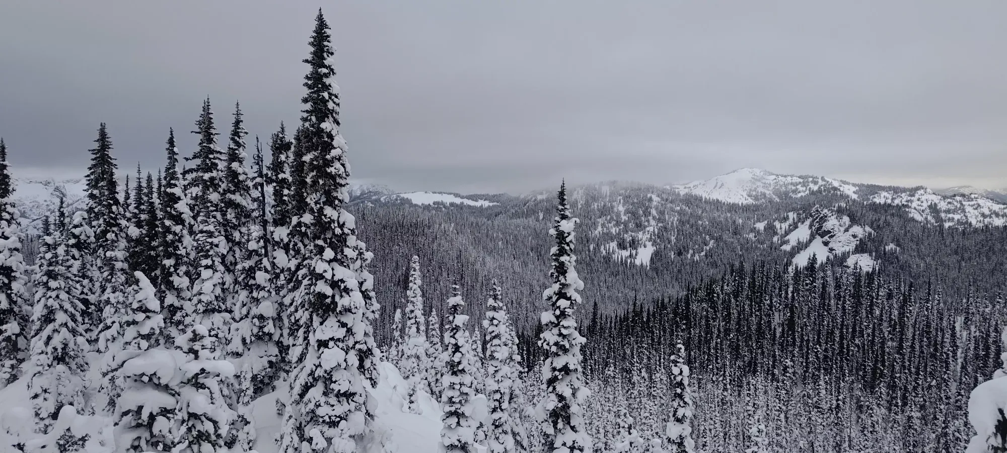
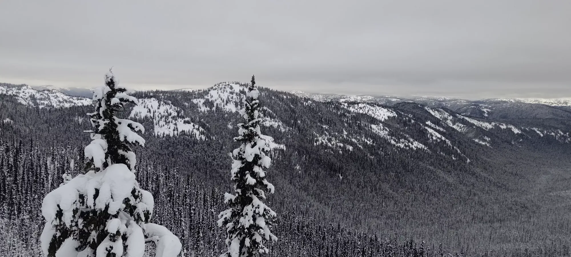
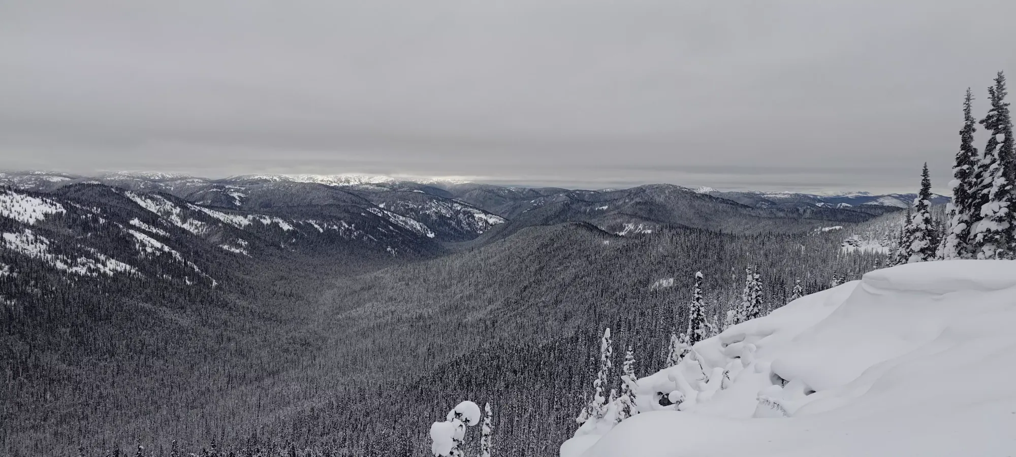
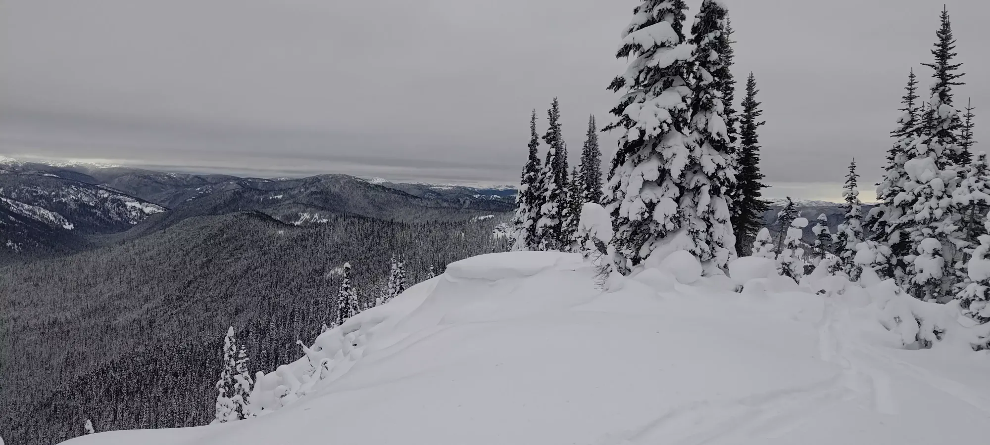
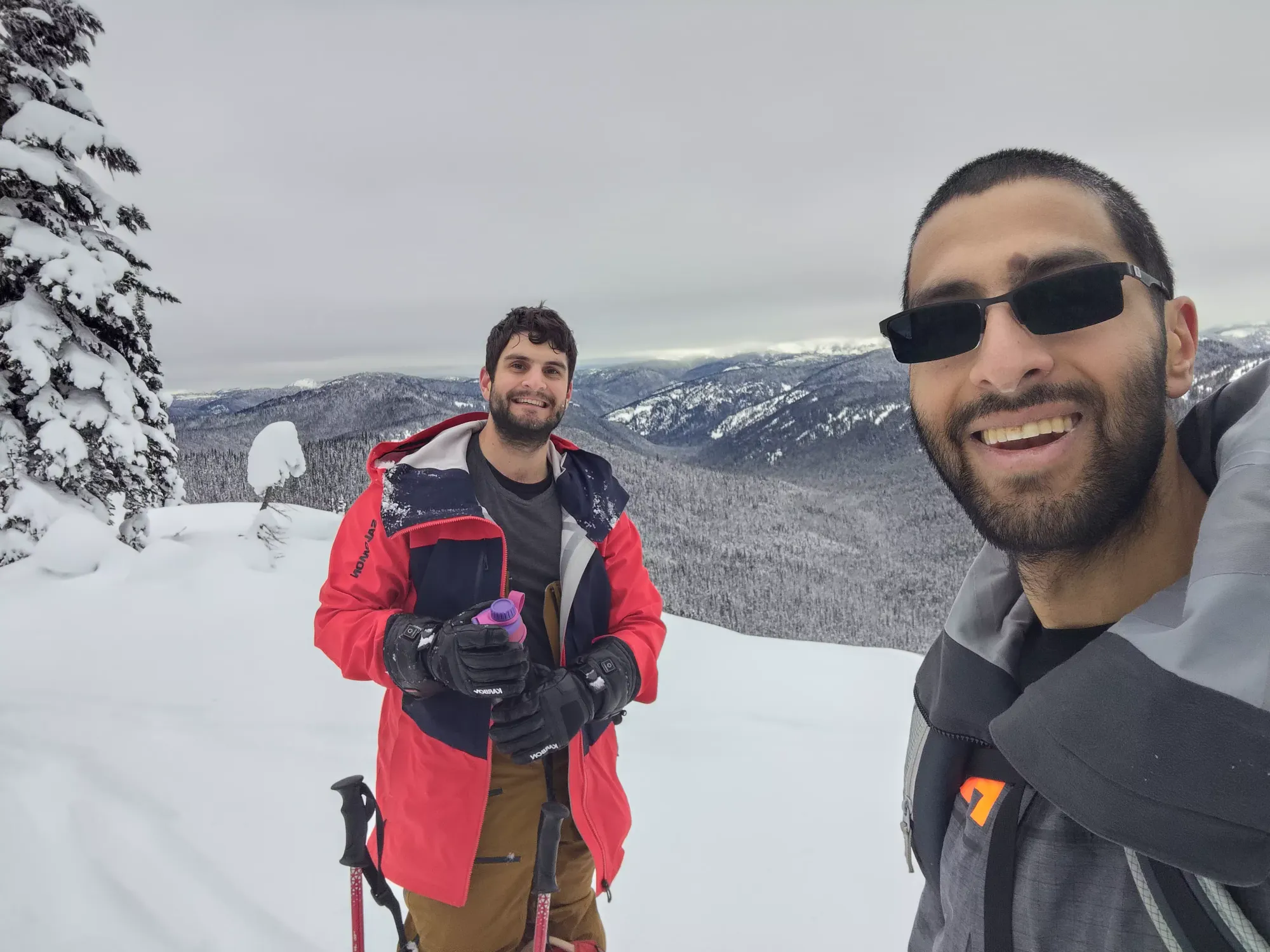
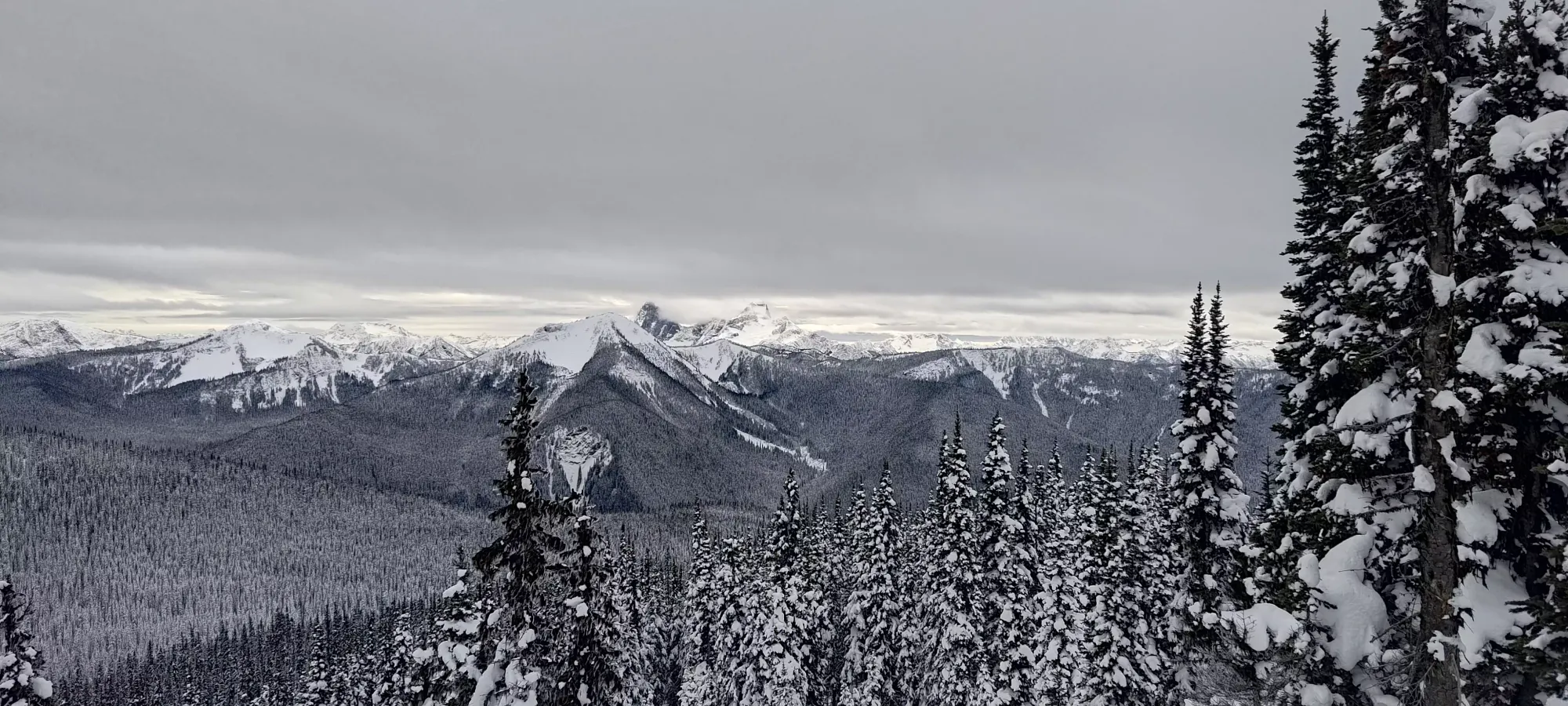
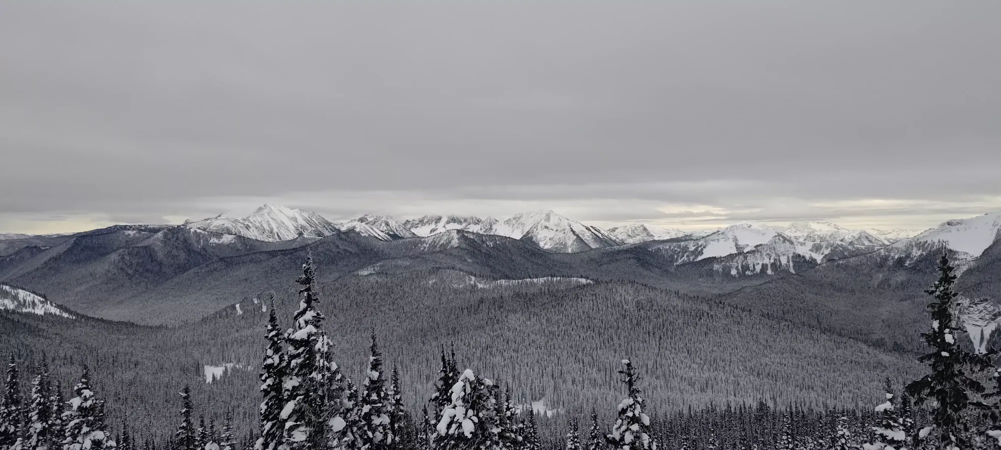
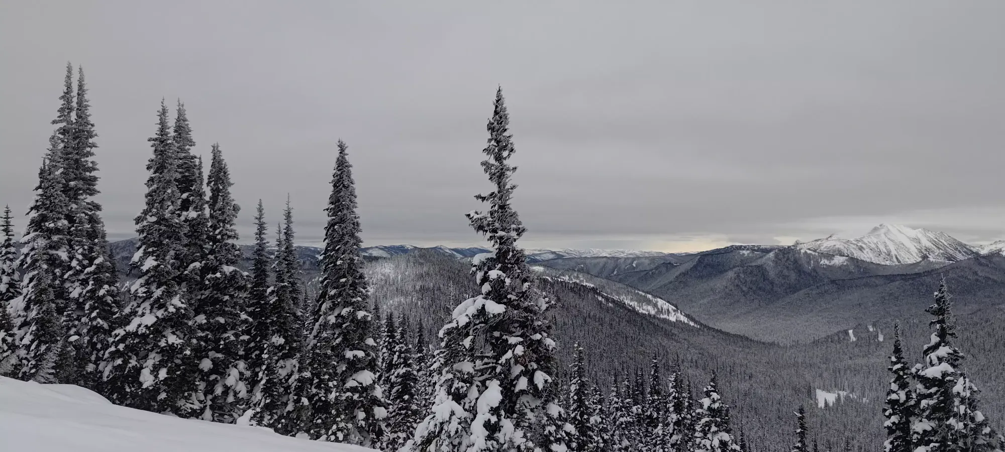
As we transitioned, we mourned the infeasibility of sending the fall line directly down the south face, as while the coverage looked nice at the top, we knew it was bony closer to the trail 🙁. Nick wasn't super stoked on redoing the traverse that narrowly crossed over the north side, so he instead found us a mild bushwhack through a couple trees just below the ridge to get us back to our ascent route while bypassing the exposure. That made for a fairly good compromise, and made sure that we had good snow for the ski back to the trail. While he did that exploring, I got to enjoy the fairly nice-looking trees with hoar frost on them.
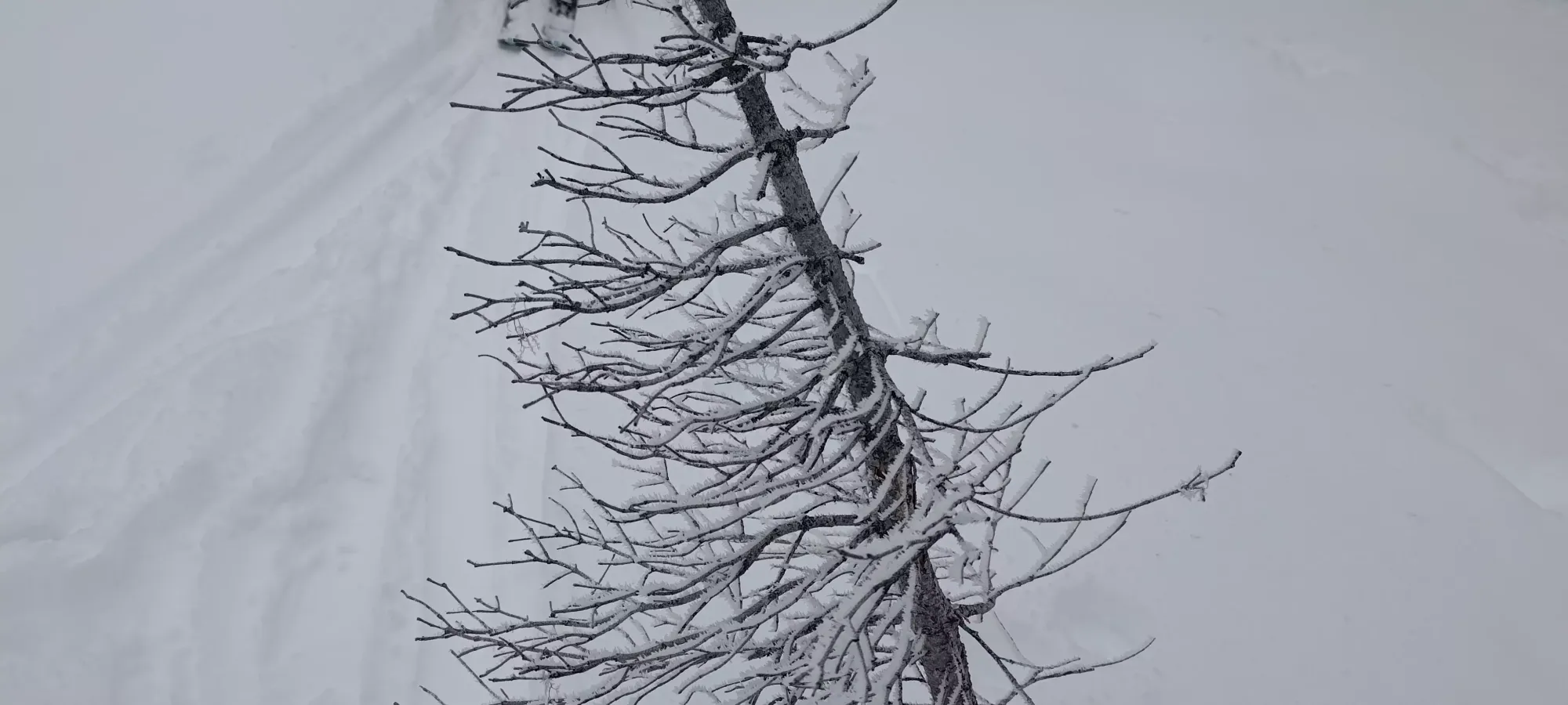
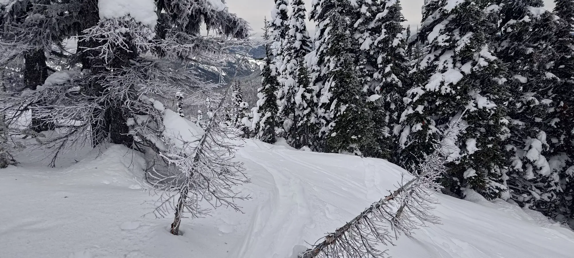
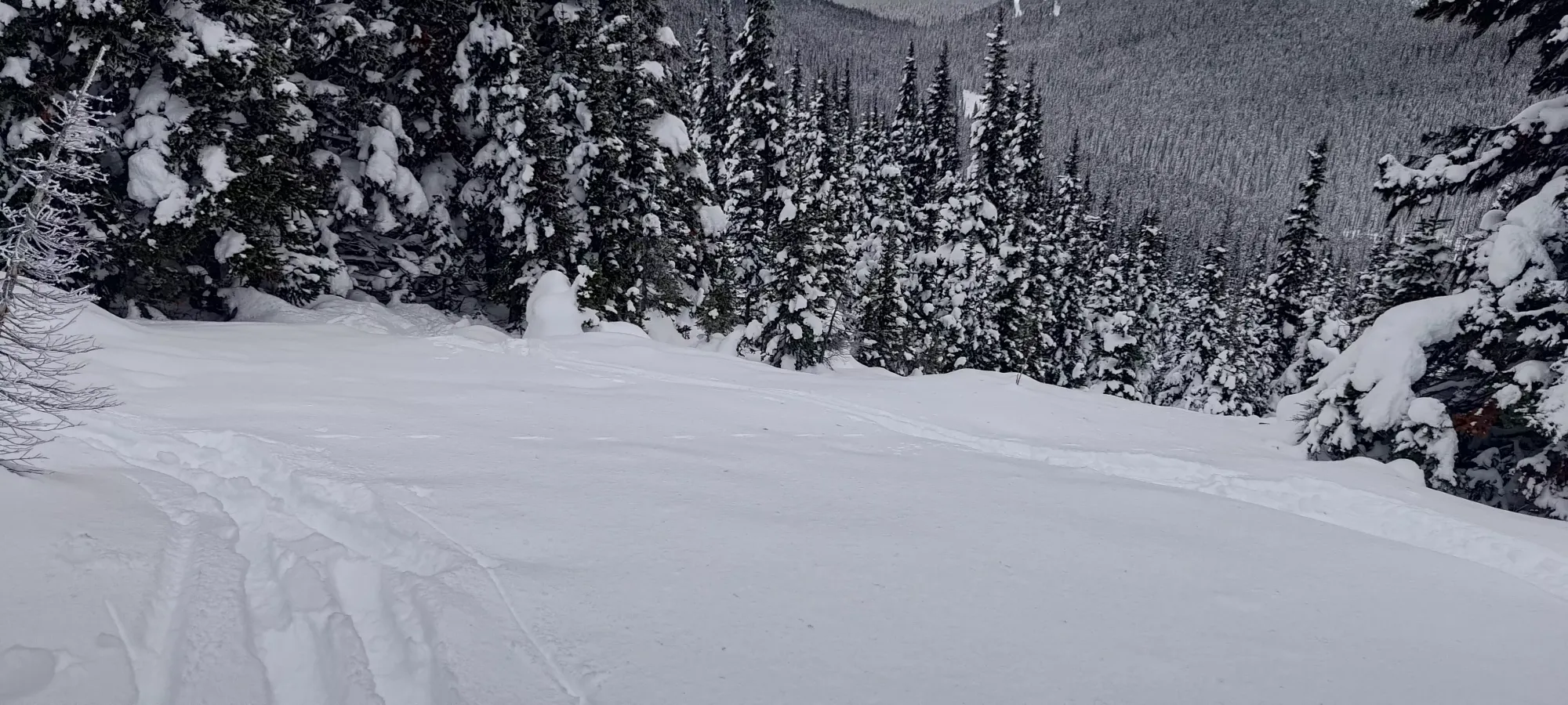
The tree skiing was quite nice for the ~5 minutes it took us to get back to the trail, with open enough terrain to link turns, and just enough snow to not give your bases a free grind 😄 Once we got back onto the trail, since we'd already skinned up it, we were able to ski down on the skin track very efficiently, only taking another minute or two to get back to the low point, where we slapped our skins back on to head back towards the resort for the third peak of the day, Little Muddy Peak.
GPX Track + Map
