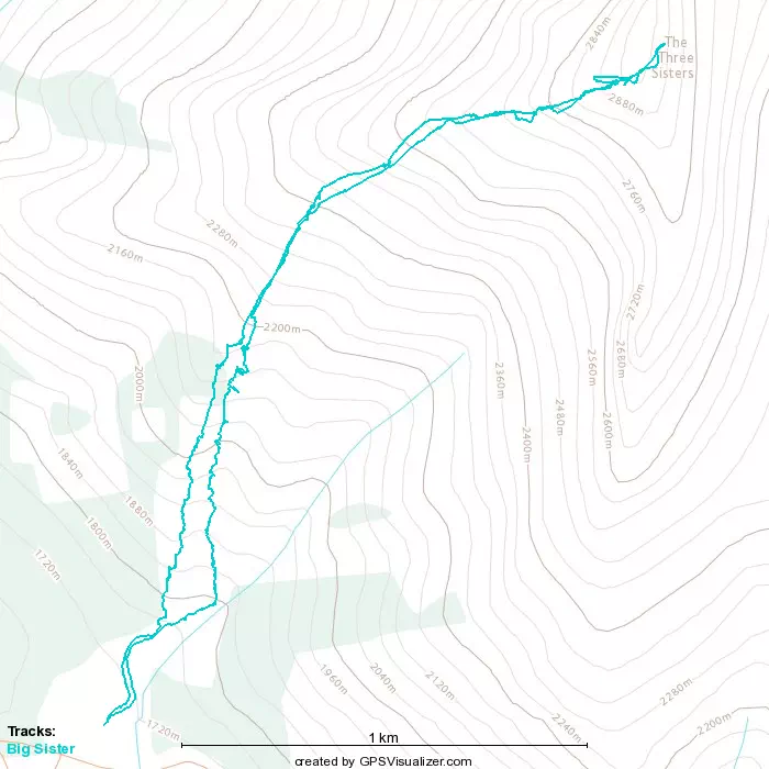
Big Sister (Faith Peak) - August 1 2022
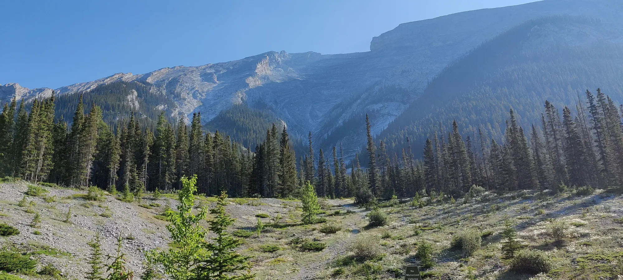
South Banff Ranges, Canmore, Alberta
2936m
Being the last day of the Civic Holiday long weekend, and with us having very intentionally bagged The Judge on Saturday to give us a buffer day of rest (and to let our least scramble-friendly group member head home from our Canmore Airbnb for the month), our group of three had our sights set firmly on Big Sister for the long weekend Monday. At the very least, me and Logan did, as we visited this peak last year with our third group member and a fourth, different friend, but were stopped due to a late start and slow progress through terrain not all members felt comfortable in. Naturally, we did not want to let this go as unresolved business, and were determined to get this peak bagged in this next trip into Canmore. Given it is a fairly difficult hike without considering the scrambling, plus there isn't really much reward to going partway, we waited until our group was full of people with the fitness and (hopefully) comfort to get all the way before we went for it, and this was the perfect day, seemingly.
Sadly, things didn't start out all that great. We planned for a fairly late start, as hiking goes, but despite that, I just slept awfully the night of, and got up feeling kinda crappy. I figured it was just a little fatigue, managed to scarf down some strawberries and half a bagel, and we headed out. The drive is uneventful and despite being unpaved, the access road is well-graded and can be taken on anything short of a supercar, so no worries there. We got started at about 9:50, thinking we had so much buffer we should've been kicking ourselves for not bringing swimming gear for afterward.
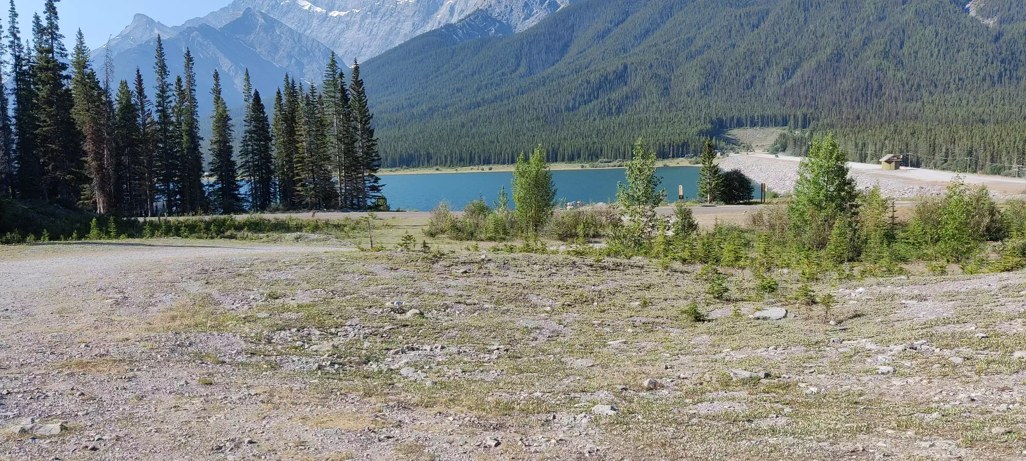
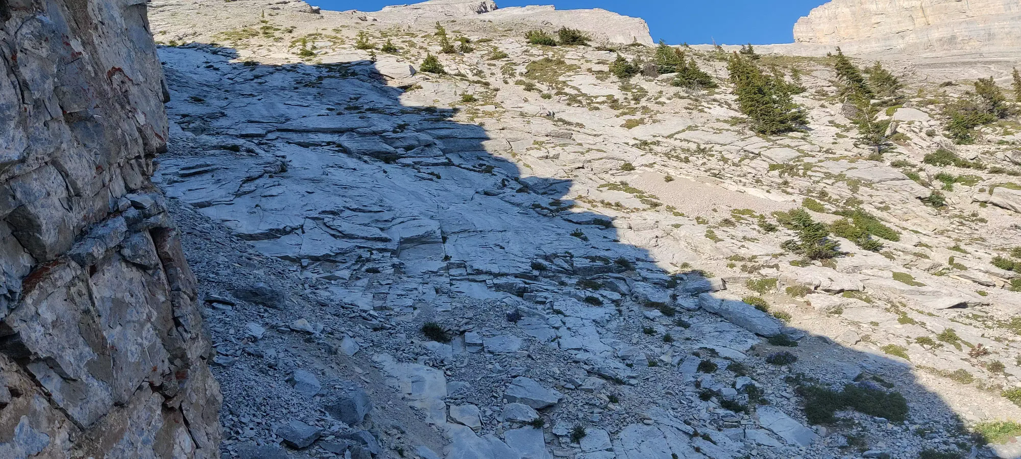
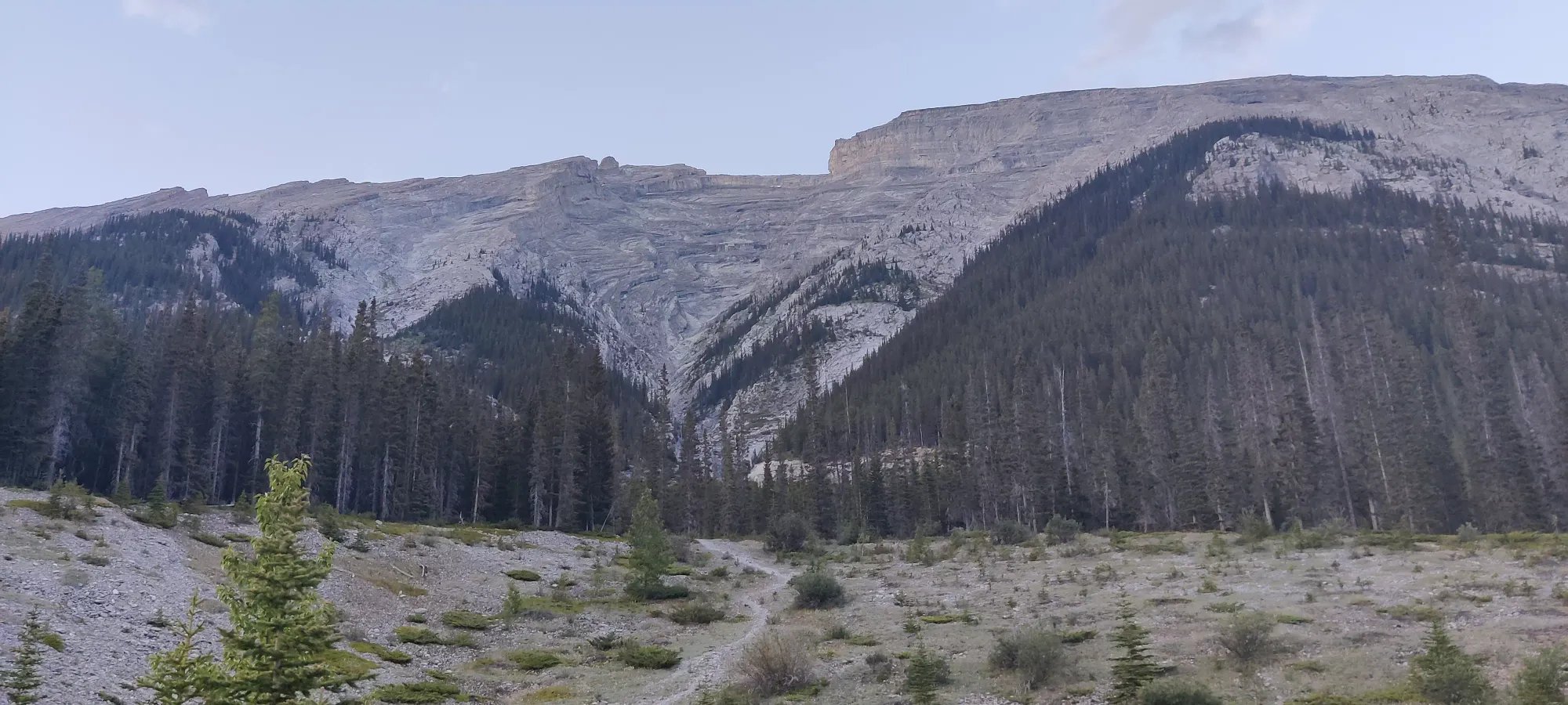
The trail here doesn't kid around, it gives a swift introduction to the steepness, and it more or less only holds or gets steeper all the way to the summit. Once out of the parking area, you will quickly find yourself at the base of a rocky gully. This is where we had to make the first big decision of the day: follow the path we downloaded from alltrails, or the mapped path on our GPSes. We chose the former, which takes the direct path up the gully instead of a more windy path through the forest to climber's left (which we'd used on our previous attempt). This was... a choice. I would not call it an efficient one, but it was arguably more interesting, at least. The forested path is much easier terrain and will be faster, but you get to clamber over more boulders, slabs, and scree in the gully, which we figured would be cooler, and since we had so much time for a 5km hike, who cares about efficiency?
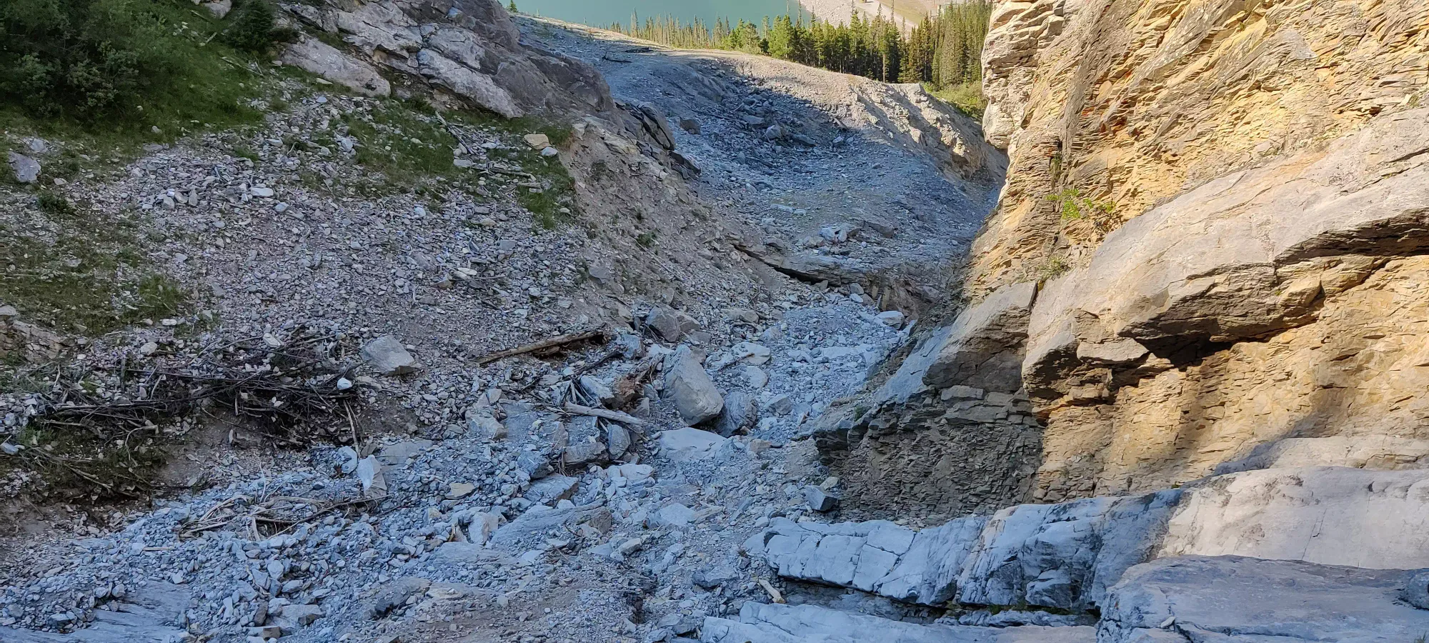
As we got up the gully, the first hour or so went by at a fairly slow, but not unreasonable pace, with long rest breaks to chat and enjoy the views as we picked our way through the easy but not-exactly-pathlike terrain of the gully, which was a good mix of boulders (only at the beginning, though), slabs, occasional roots, and scree (more so as you gain elevation).
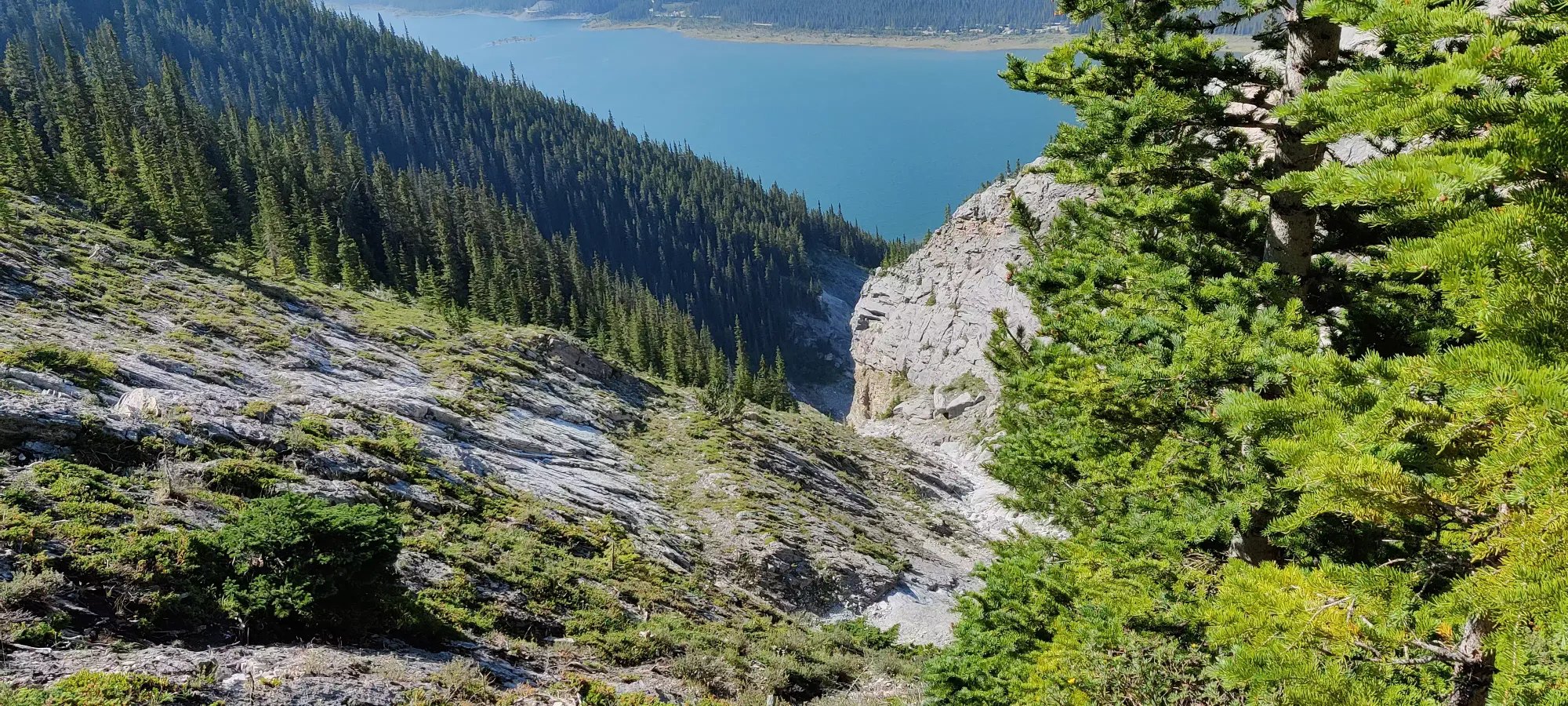
Before long, you start being able to clearly see what side of the large rock "fin" you're on. The gully is contained on climber's left by a large rock formation, on the other side of which you'll find the dirt path through the forest. This is the case until you hit about 2250m elevation, where the two meet up on a small, flat plateau which precedes the "scrambly" section of the peak. About halfway to this point, the gully path becomes a bit more scree and a bit less slab, and you start hugging the big rock face fairly closely as the gully narrows before this merger. This made things slightly less pleasant than was necessary, but we weren't really concerned yet, as we were still having fun ambling up the mountain at our lax pace.
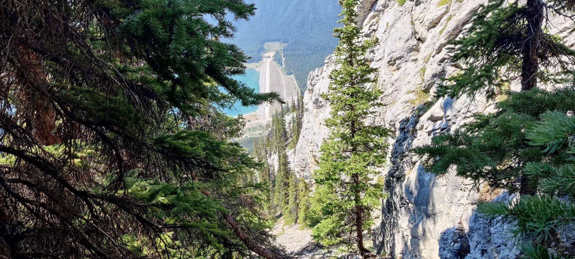
About 2.5 hours in, we emerged from the gully onto this clearing, and got some nice views whilst considering our plan of attack. Last year, when we tried this, we were but fledgling hikers, and had not a GPS, so we just scrambled up the slabs of the mountain until the sun got too low and we hit a section that ended up exposing us a bit more than we were comfortable with. This time, though, we saw that both our potential paths had us sticking further to climber's right, either on top a ridge or further right into the upper half of the gully we'd ascended to that point. Since we hit that snag previously, and had no intention of failing a second time, we decided to trust the GPS, even if it meant more scree and less enjoyable slab-scrambling.
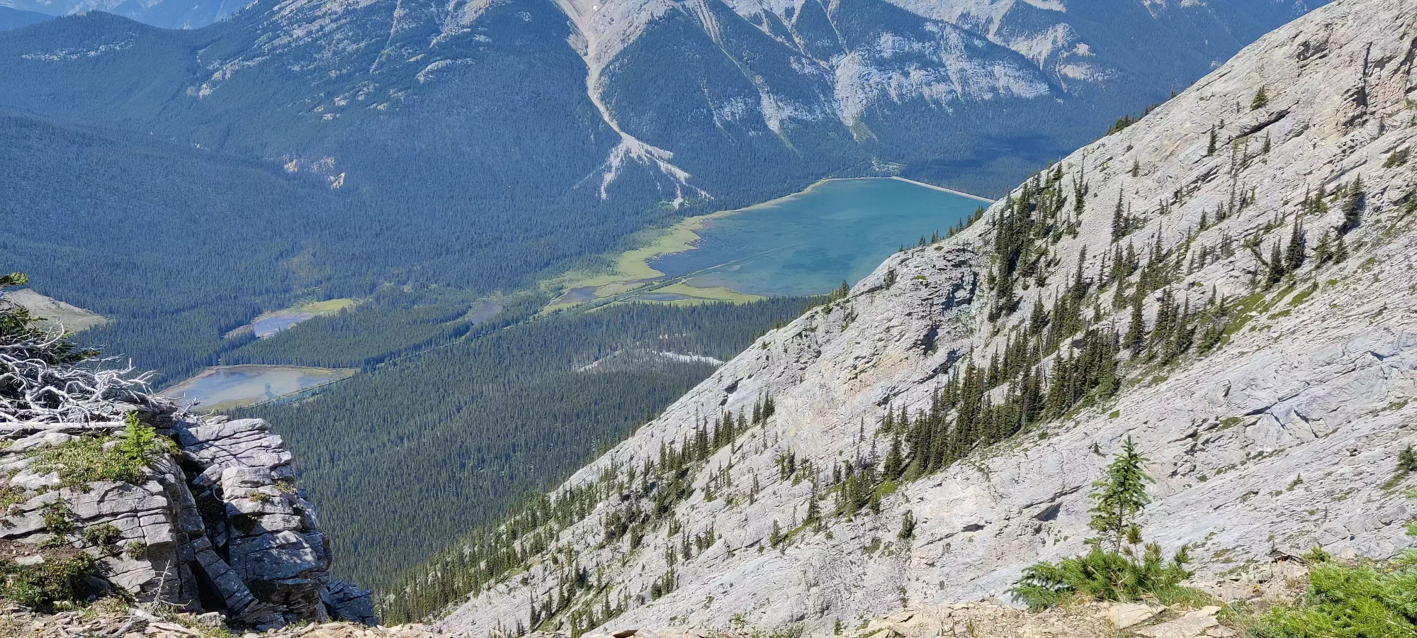
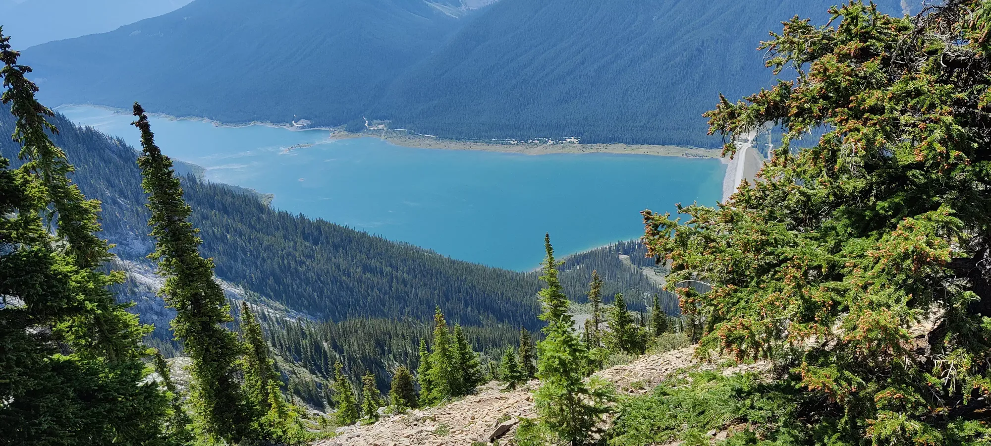
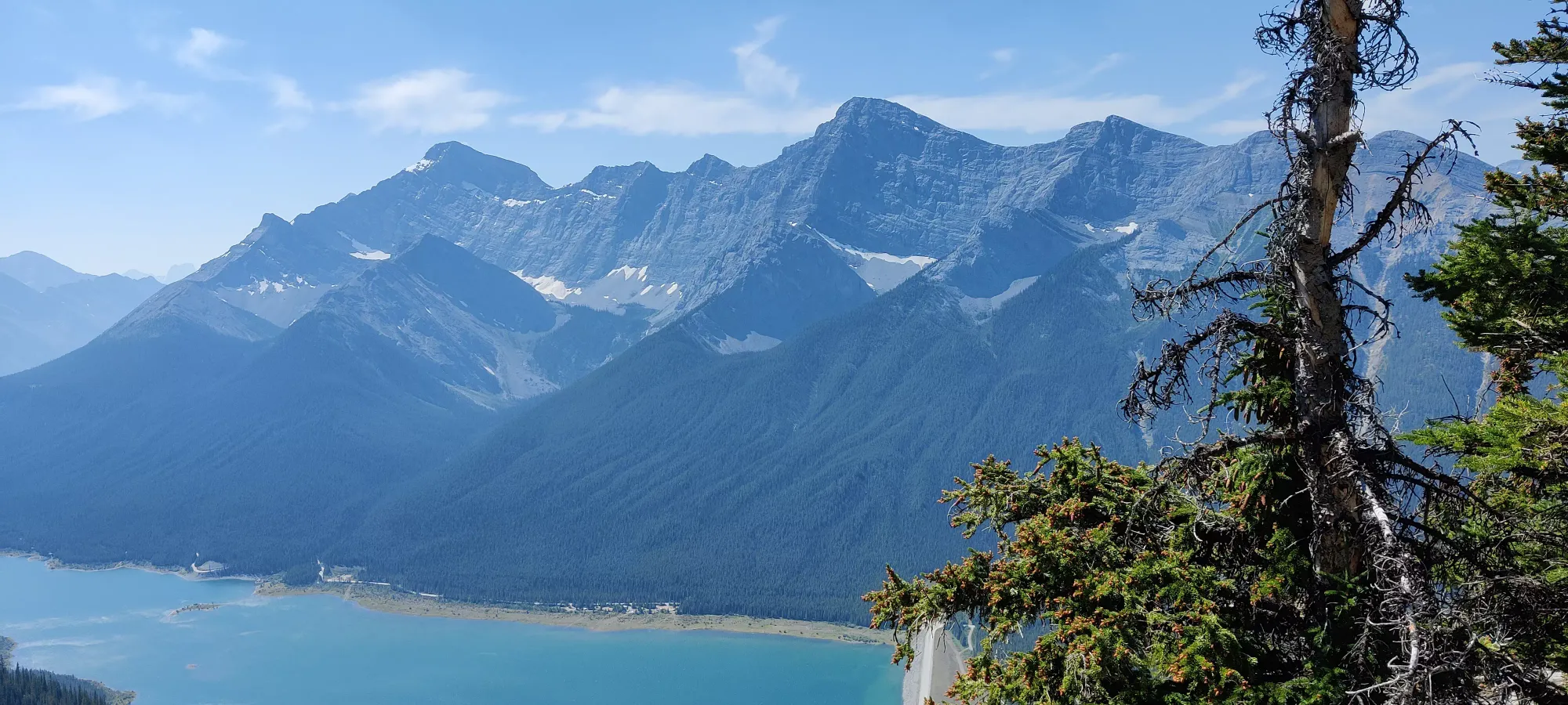
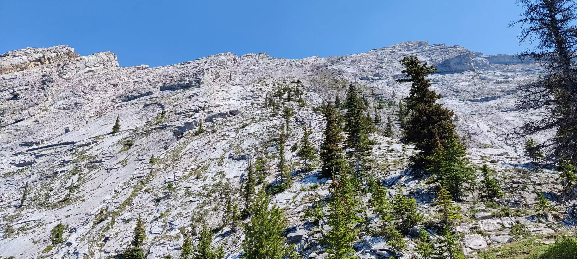
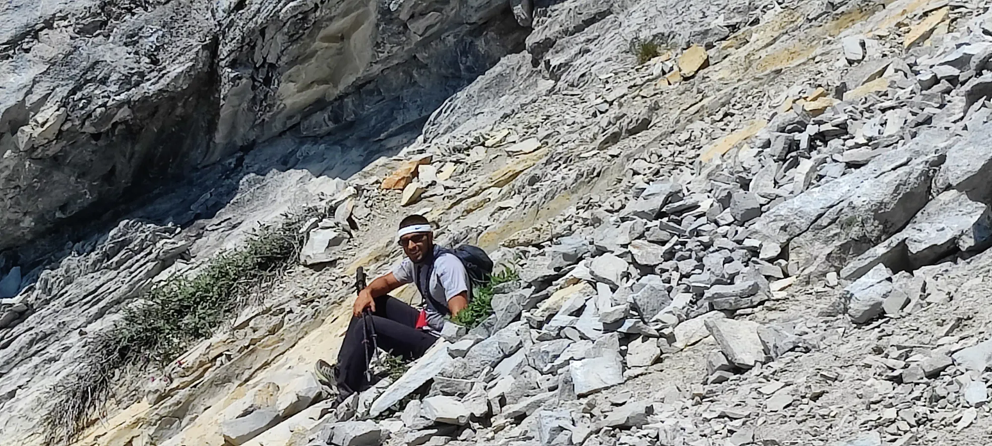
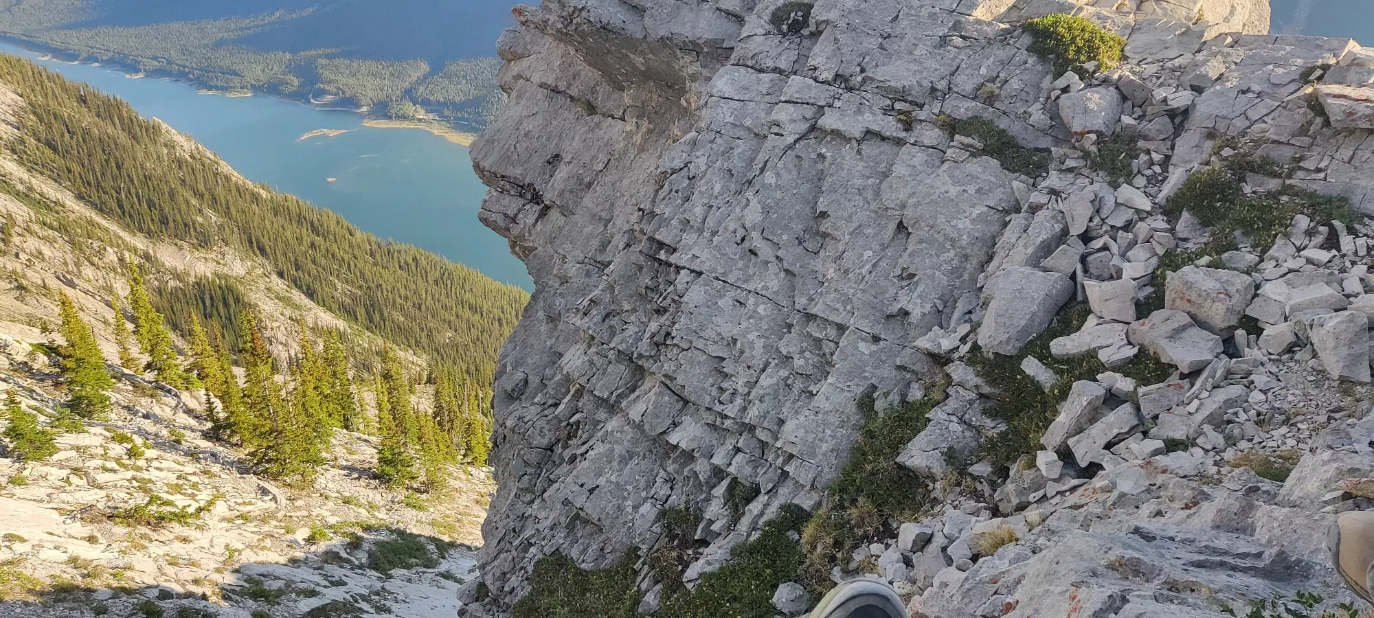
After a short bit of slab semi-scrambling (you can do the first few minutes without using hands, but it wouldn't hurt in a few places), there's a small scramble up a boulder that requires some hands which is kinda fun, then more of the same slabbing up for a bit longer. However, despite having no problem with the aforementioned class 2 move, our third party member decided to call it quits shortly thereafter, as he wasn't feeling the steepness of the slope. Personally I'd not call it exposure (you can decide that for yourself looking at the above), but if you fall awkwardly, you could tumble for a while, so fair enough. He said he'd go back and wait on the plateau while Logan and I pushed on, so off we went.
The slabs didn't last for long before the path told us to descend the ridge to climber's right back into the scree gully. This didn't seem as enticing, but we wanted to ensure we got there, so we braced for some suffering and descended in.
From here, it was a pretty straightforward slog up, and honestly if our friend had sucked it up for a couple more minutes he'd probably have been fine here, terrain-wise. Not happy, per se, but not scared at least. The reason for that being that the terrain is very much walkable again, just steep up scree slopes. Logan decided to try and stick more to the slabs, where they were around, where I went more of the purist's route and stuck to the path, perhaps to my own detriment, as it seems that was more just pure scree, which isn't exactly the best terrain to walk up. Progress was slow, but not just because of scree. I was tired, much more so than usual. Moreover, I was feeling a bit dehydrated, as I wasn't really enamored with the idea of eating, my mouth feeling dry despite the plentiful water I'd consumed already. I've felt like that before, and not enjoyed it, but figured with the length of this hike I'd be fine with breakfast's calories and ignored this, and just soldiered on, just slower than usual.
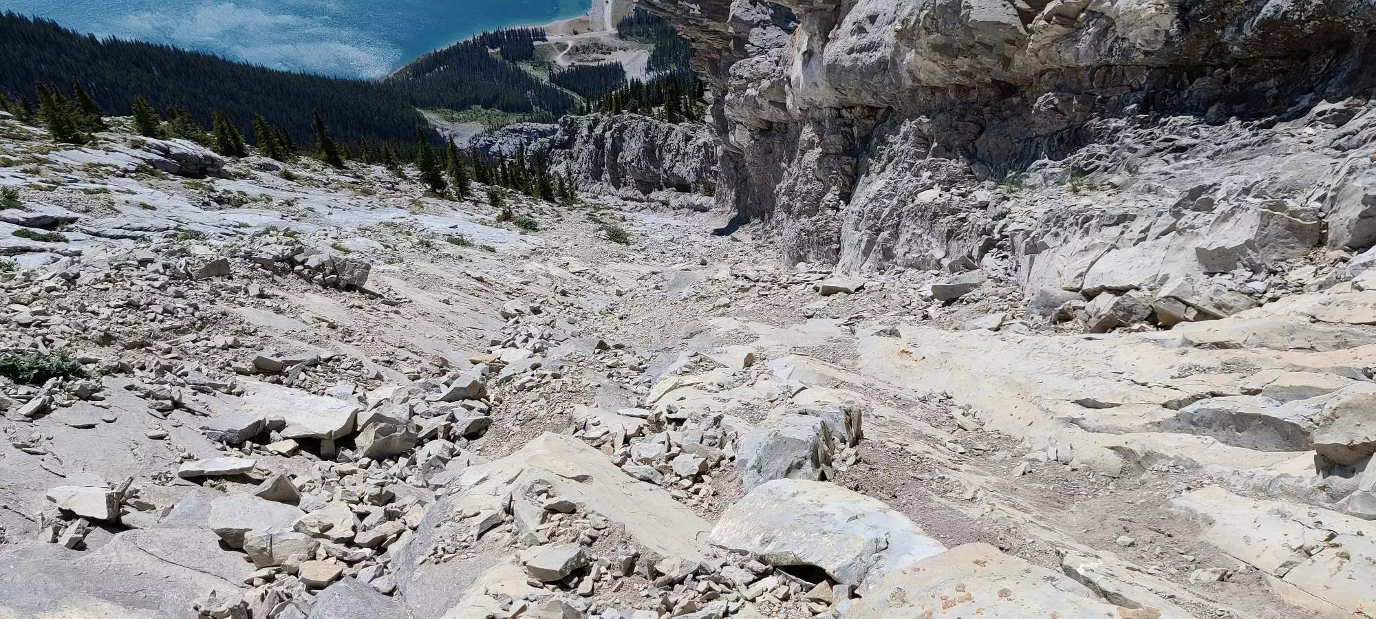
After maybe an hour of slowly ambling up, the ridge more or less disappears and the gully meets up with it, becoming simply "the slope", with another drop-off to climber's left still, but that seemingly leads to no-mans-land, though I have heard of some going this way with success, so YMMV. At 4.5 hours in we made it to about 2525m, and for context Steven Song managed the entire trip in that time, so while that is a somewhat lofty bar, our pace was definitely not one to base your planning on.
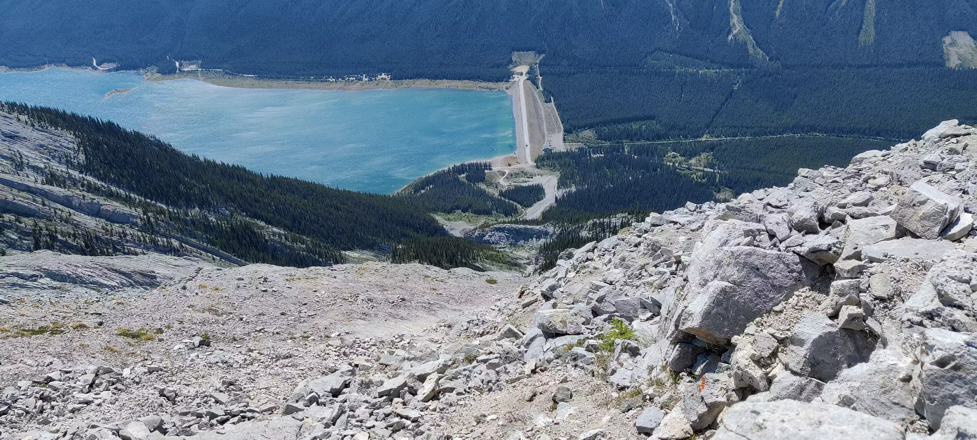
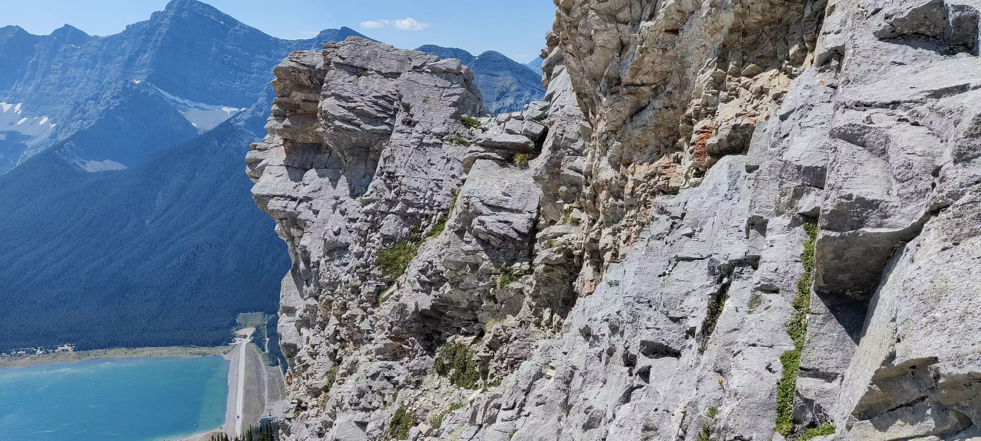
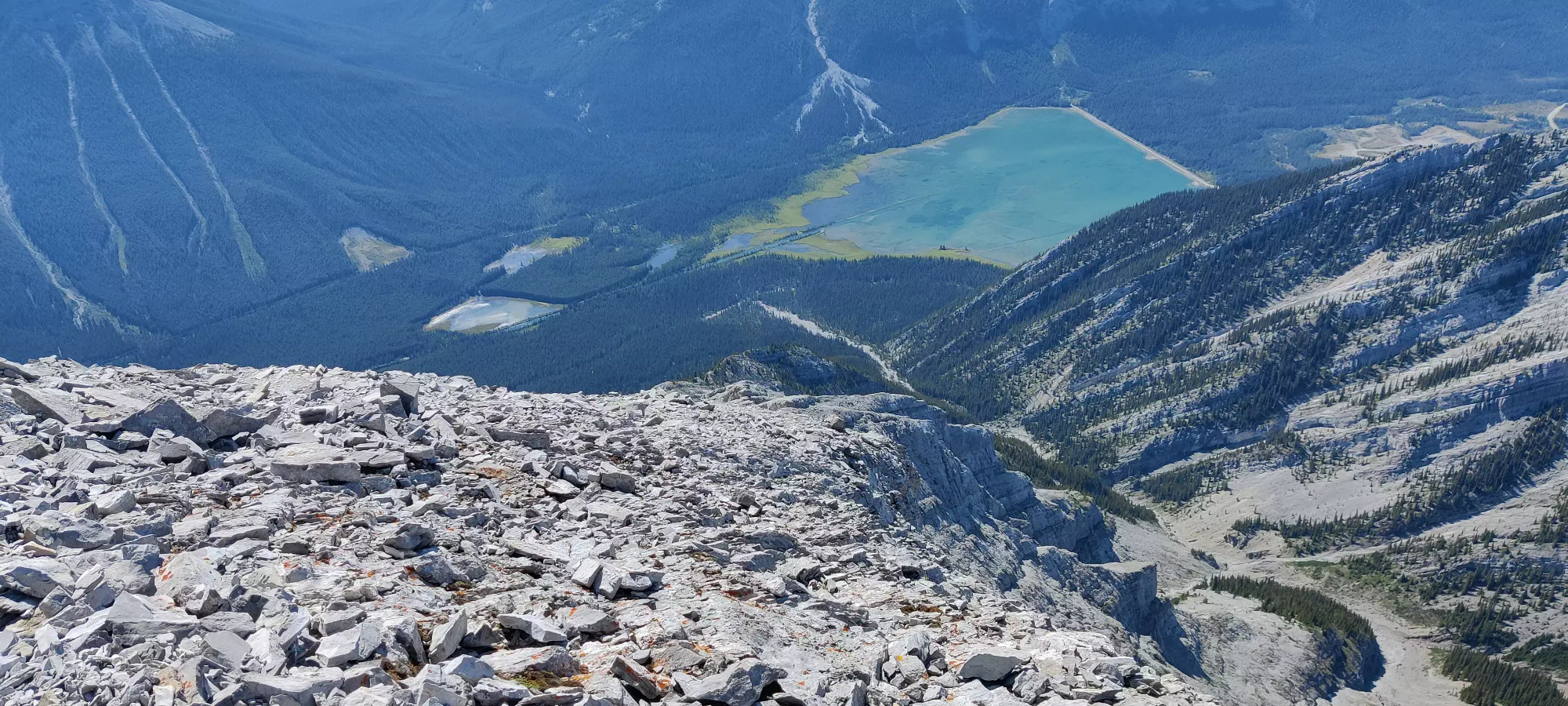
The next hour and forty minutes went by excruciatingly slowly. In fact, at around 2700m, we took a break on a fairly comfortable rock, and I strongly considered just napping and telling Logan to press on. I only changed my mind after seeing a party of 4 coming up below us on their way up and motivating me to press on. With that motivation, we struggled (well really just me, Logan was feeling fresh at this pace) up to the crux just about 2800m. This is what most people justify the medium-difficulty rating for this peak with, but honestly, we felt it was pretty easy. The exposure is slight, but since it's to the sides and not directly below, I don't consider it that extreme, plus the holds are amazingly good.
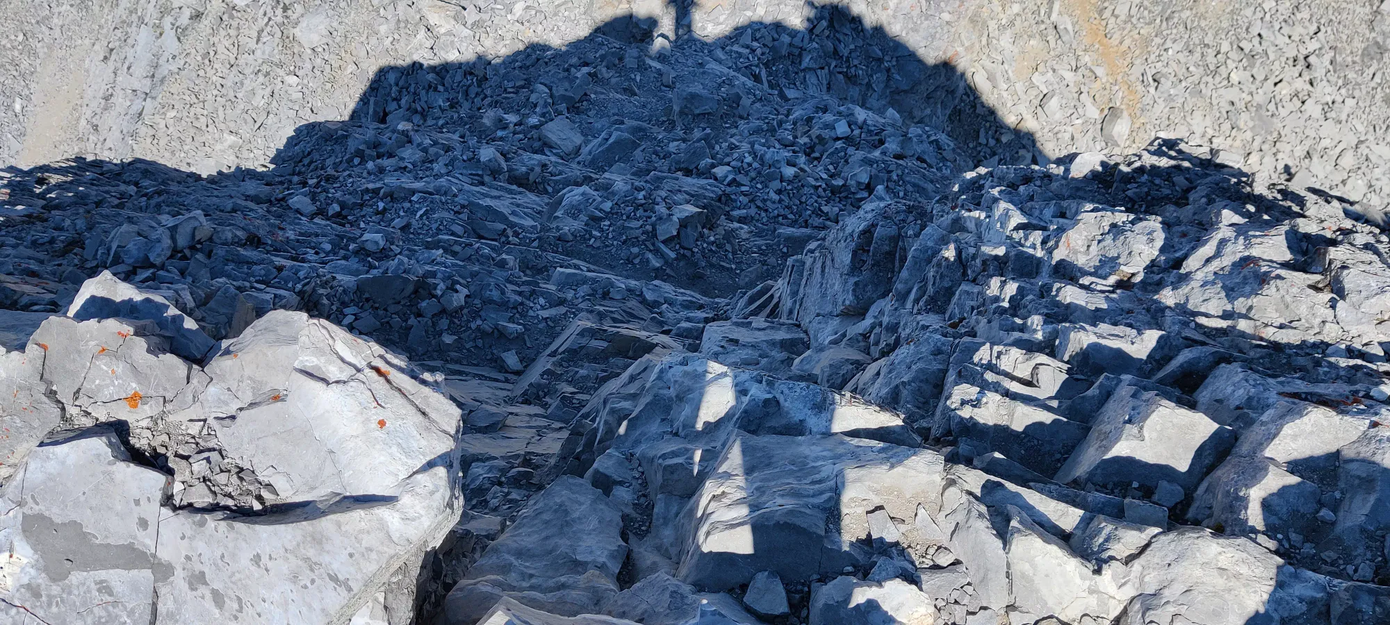
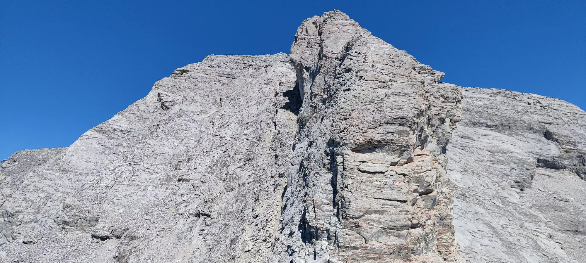
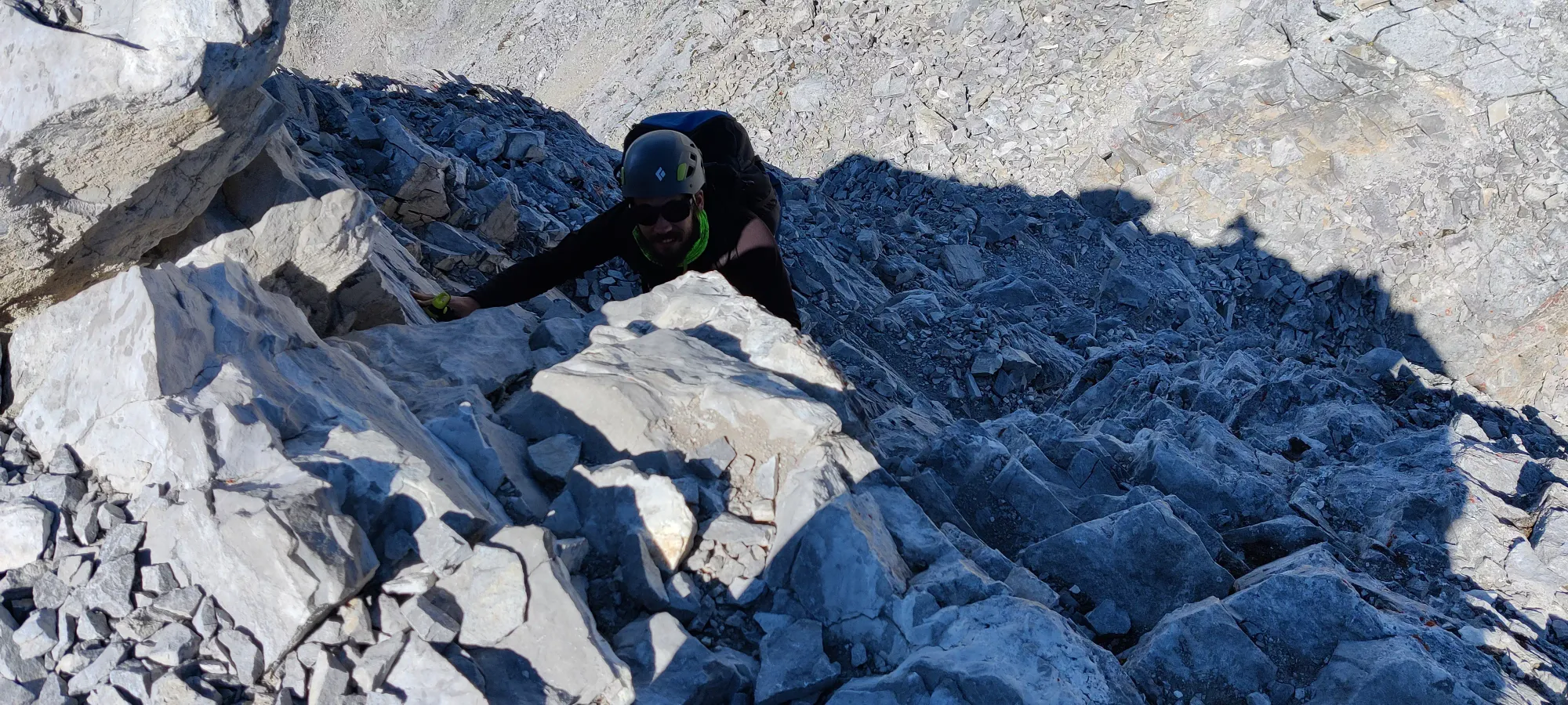
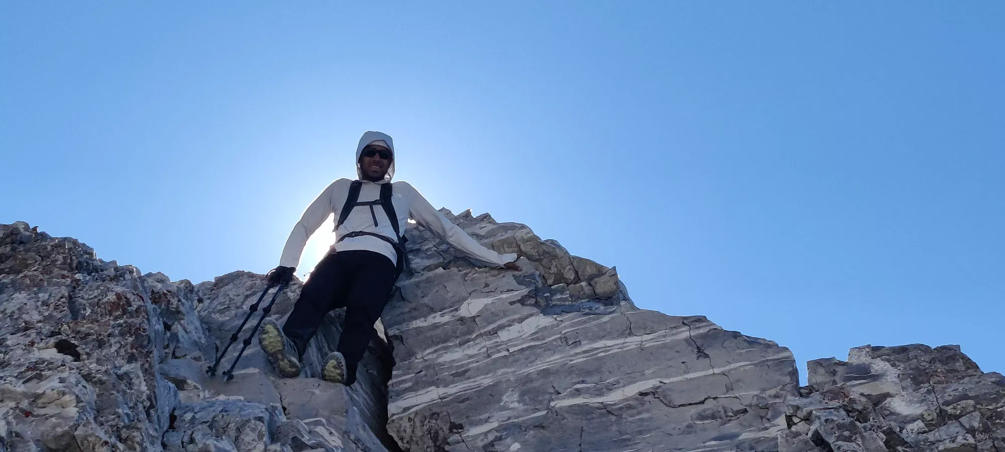
The downclimb went by quite smoothly, in my opinion much more so than the steep scree that preceded it, and from there it was only a bit over 100m of gain to the peak. Of course it had already been over 6 hours to get even this far, but ignoring that, we actually had some hope. Despite the picture of this last section above making it look daunting, keeping climber's left of the big tower jutting out in the centre, there's a fairly well-defined path in the scree up toward the summit. Fifty minutes of walking, puffing, and wishing I had more sleep and calories within me, and we made it to the peak, only 7 hours in!
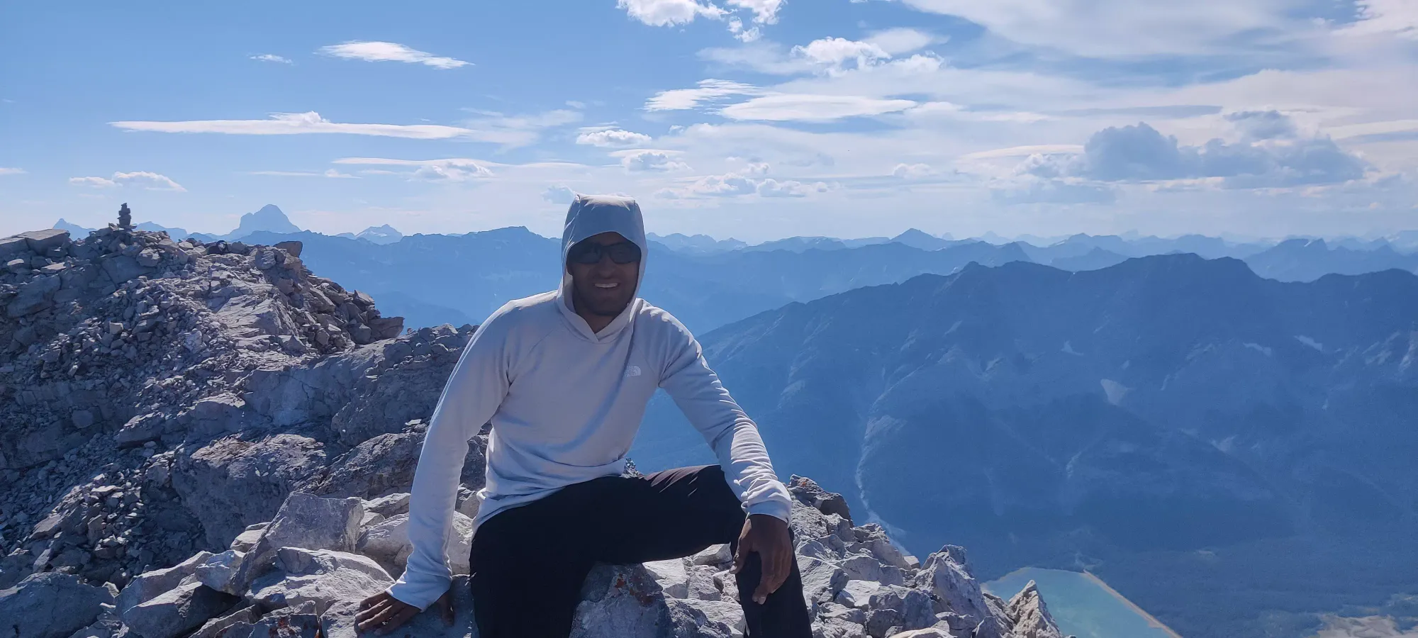
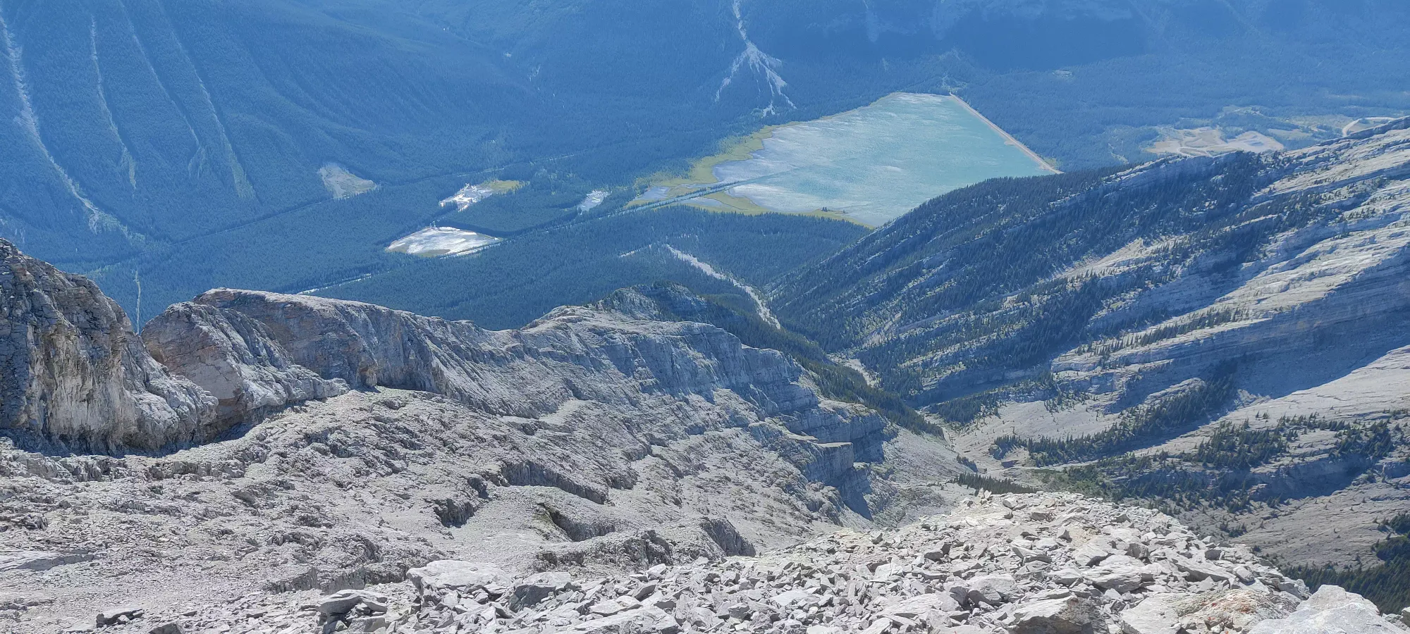
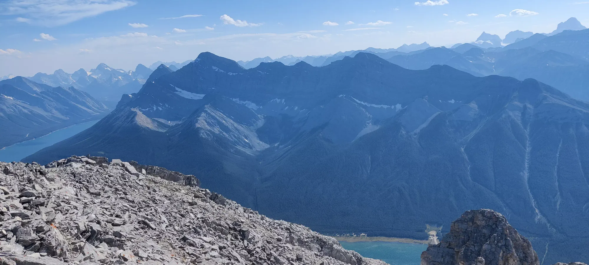
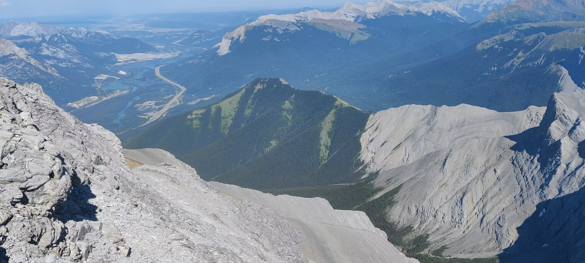
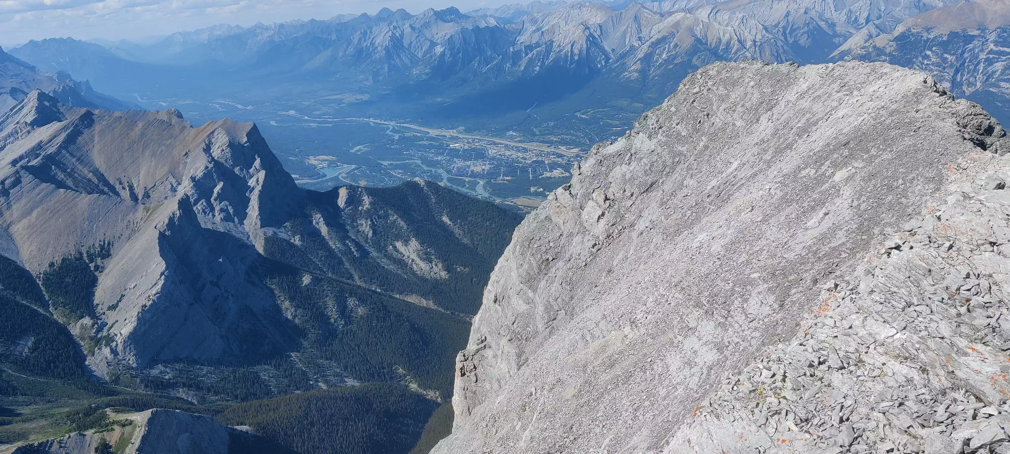
We didn't linger long on the summit as it was already way later than we'd planned for, I wasn't feeling any better, and we didn't want to make our friend wait longer than necessary, so off we went with minimal delay. I let Logan take the lead since he brought his helmet, and that seemed safer from a rockfall perspective. Sadly, this quickly revealed its flaw when he led us up a random upclimb to nowhere we had to downclimb (harder than the crux), and then not long thereafter do the real upclimb of the crux. This process took about 35 minutes, but once we got back on top of the crux, I was really feeling it once again. I actually took about 40 minutes here to just attempt to nap and regain some strength, as it was that bad. The thought of SAR crossed my mind for the first time here, but I wasn't nearly ready to stoop that low. Thankfully Logan was at least very understanding, and chilled there with me as I failed to sleep for a while, though I at least got some decent muscular rest if nothing else.
After that, it was 2 slow hours of scree-skiing down to the point where we regained the ridge and had a short scramble down to the plateau, with many breaks in-between for my battered body, with a second "contemplating my life choice and if I should give in and call SAR" moment sprinkled in for good measure. A group of two girls we'd beaten to the summit passed us on the way down here, and let us know they saw our friend heading down the mountain on their (much faster) way up, so we at least knew not to spend any time looking around for him once we got to the plateau. The scree-skiing would actually be pretty fast for non-exhausted people, for what it's worth, so if you're worried about the difficulty getting down, I wouldn't be.
From the ridge, the terrain gets a lot easier. The short scramble back down to the plateau is pretty simple and mostly doesn't even need hands. Once there, we decided to take the dirt trail down, as we remembered it being a lot easier, and we knew what it was like between these two points, at least, and we figured there was no way our friend wasn't already at the bottom, since it had been over 7 hours since we split up.
The first couple hundred metres of descent were agonizingly slow, as I was breaking every 25-40 steps if I had to guess. Then, for whatever reason, I just managed to find another gear when we were at about 2100m, and I powered through the rest of the trail without stopping. Logan doesn't normally talk too much in normal times, but I think he noticed and intentionally said nothing just to try and not to disrupt whatever was going on to keep me going, which I kinda appreciated. We did a little pole-five once we regained the gully at the end of the forest, and started talking again in the last couple minutes.
Thankfully, our friend was at the trailhead waiting, managed to entertain himself dipping in the lake, didn't get eaten alive by bugs, and wasn't dying of thirst so I only felt bad and not terrible. Plus, we didn't even need to bust the headlamps out, and I got to keep my SAR call-count at 0, which was a relief. Were my calls to continue ascending and not call SAR on the way down correct? I would like to think so considering I got out safely and am doing all good as of the time of writing, but I will disclaim once again "know your limits, and don't take what anyone else does as a suggestion of what you should be comfortable with or able to do". This was also a great lesson for me in terms of what my body can handle, and how things as simple as bad sleep or sweating a lot the night before a hike can impact your performance. It was also, more positively, a successful revenge story against this mountain, and some positive reinforcement of what I can achieve if I can push my mind over matter.
GPX Track + Map
