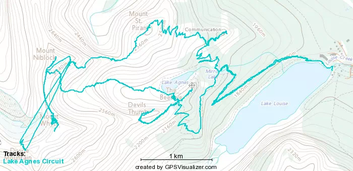
Big Beehive - July 24 2022
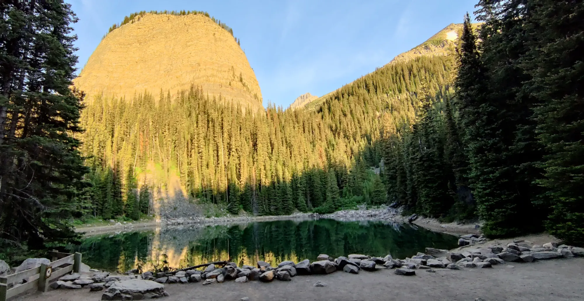
Bow Range, Lake Louise, Alberta
2270m
This was the final peak on my "Lake Agnes Circuit", bagging all the peaks surrounding the aforementioned lake in one grueling day. This report picks up from the Devil's Thumb, where I started making my way down toward the Big Beehive at about 9:25pm. Given the time, and my tiredness, this will be fairly brief.
From the summit of Devil's Thumb, I spent about 15 minutes picking my way down the steep section. Make sure not to blindly follow what looks like path here, as many people and/or rocks have gone further down than the turn back along the flat section, and will lead you onto a steep scree slope you have to regain to get back on the trail. With that (thankfully minor) detour behind me, I basically just walked in a straight line northeast back along the col all the way to the Big Beehive's summit. It is barely a detour off of the col once you make it up the switchbacks from Lake Agnes, so not much eventful there.
I took some rushed pictures at the true summit (some maps marks the "end" of this section as the summit, but it is lower. I justified not bothering due to the hour and the fact that I did go there last year with some friends, if anyone bothers to complain about which the true summit should be). You can tell I was rushed because they are completely trash quality, even by my low standards.
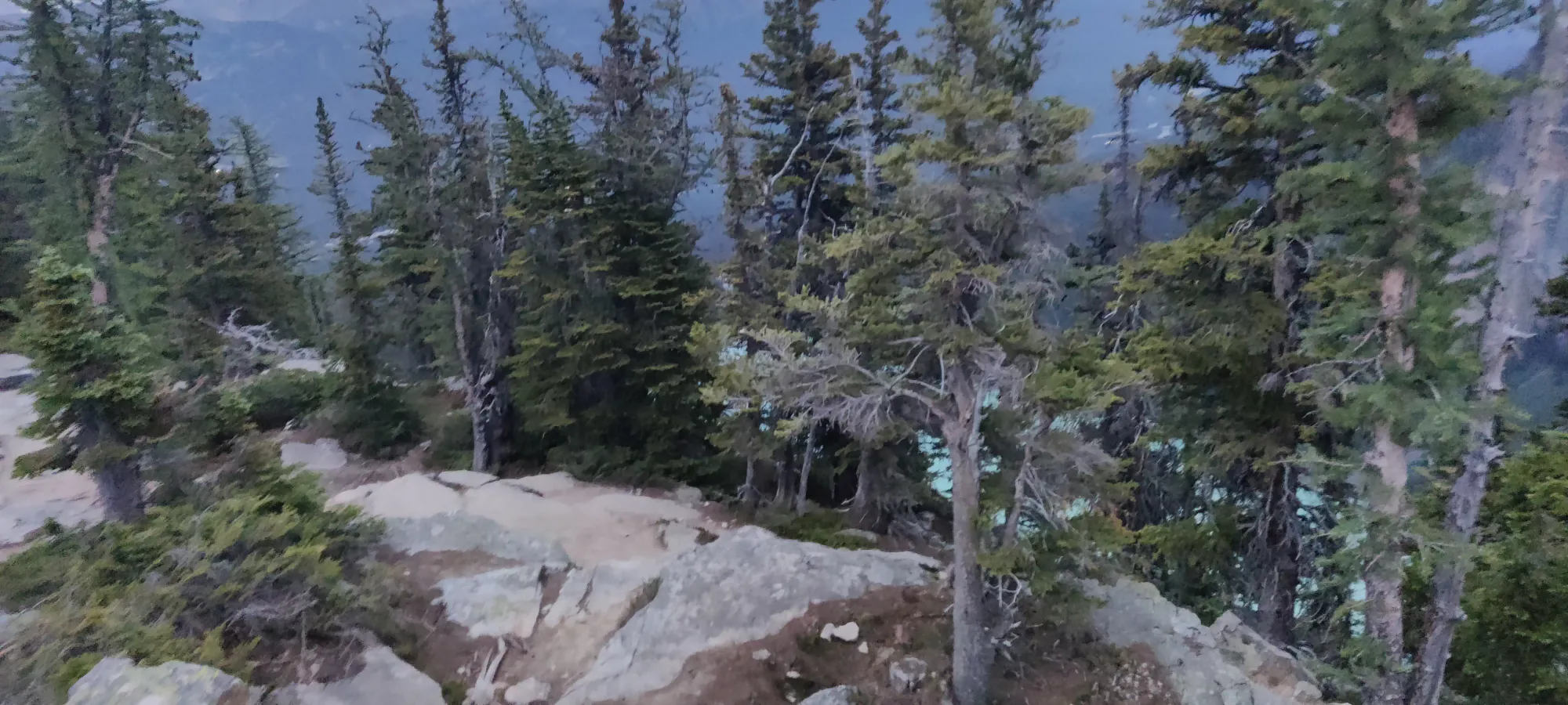
With those monstrosities I've decided to call photographs out of the way, I sipped most of my remaining water down, got my headlamp out on my next preemptively, and set out to get as much ground covered before the darkness fell as I could, just after 10pm.
I did what I think was a pretty admirable job, half-trail-running my way down to Mirror Lake in 25 minutes, though not quite fast enough to avoid the headlamp, that went on about halfway through. It was here, however, that I hit the snag that I felt worst about, since it made Logan wait around for about an hour instead of the maybe 20 minutes it should've taken to get back from.
I found a group of three hikes who'd managed to find themselves at this junction at the same time as me, but without headlamps, navigational tools, charged phones, or any other relevant tools to help them get down. So I stayed with them to provide some light, lent my poles to the weary, and we crawled down for the next 50 minutes until we got to the lake, where they had enough light pollution and solid ground to get down. It was only then, just before 11:30, that I met up with Logan at the base of the lake, and we could finally head home.
Overall, this was an exhausting, somewhat scary at times, and utterly grueling trip. It definitely could have been shorter had we:
- used the real path up Niblock
- not had GPS issues for most of Whyte
- split up sooner on the descent
- not slowed down for the lost hikers at the end
but we did make it out in one piece, and I did manage to get all the peaks bagged, as well as possibly establishing a new (if stupid) route on Niblock, so I consider that a win. If you've got the ability and desire to do some scrambling, and the fitness to push out over 2000m of gain and 20+km in a day, I would say this is a pretty rewarding circuit.
GPX Track + Map
