Beauty Peak - July 13 2024
A fairly short, slightly bushy side-trip along the Crown Mountain trail. Access is a bit of a grey area, and while the views are good, they're not unique, so this is only for the ardent peakbaggers out there

North Vancouver Area, North Vancouver, British Columbia
1401m
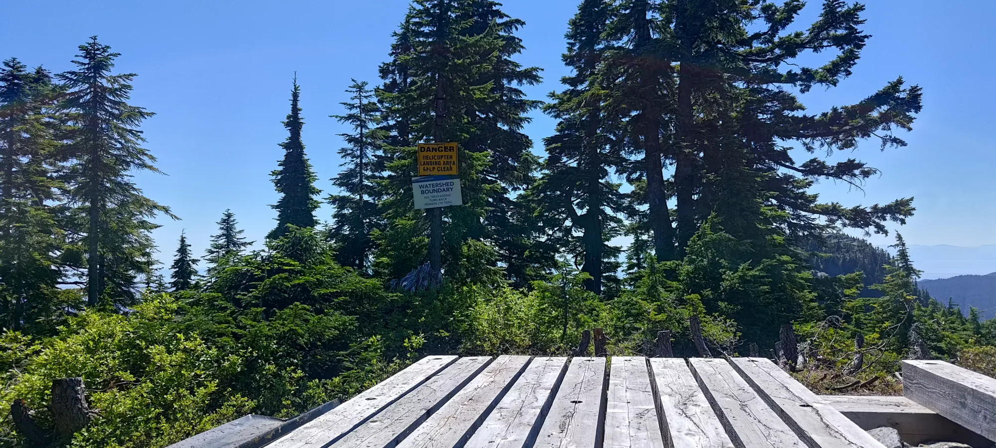
This trip starts at the helipad denoting the start of the Beauty Peak (aka Sleeping Beauty) trail, which forks off of the Crown Mountain trail at about 1390m. I had already climbed up from my parking on Nancy Greene Way up the Grouse Grind, over to Crown, and was on my way back before starting Beauty Peak. There is some signage here, which you might read and make decisions based on the contents. I happened to develop some temporary dyslexia right at this spot, so sadly I'll remain forever unsure of what they said 🤷
After having done quite a decent amount of hiking already just to get to the start of the trail, I wasn't super excited for Beauty Peak, but that also just reinforced how much I didn't want to have to come back here again for it, so I bit the bullet, and made my way into the forest just before 3pm, a little before I was 5 hours into my hiking day.
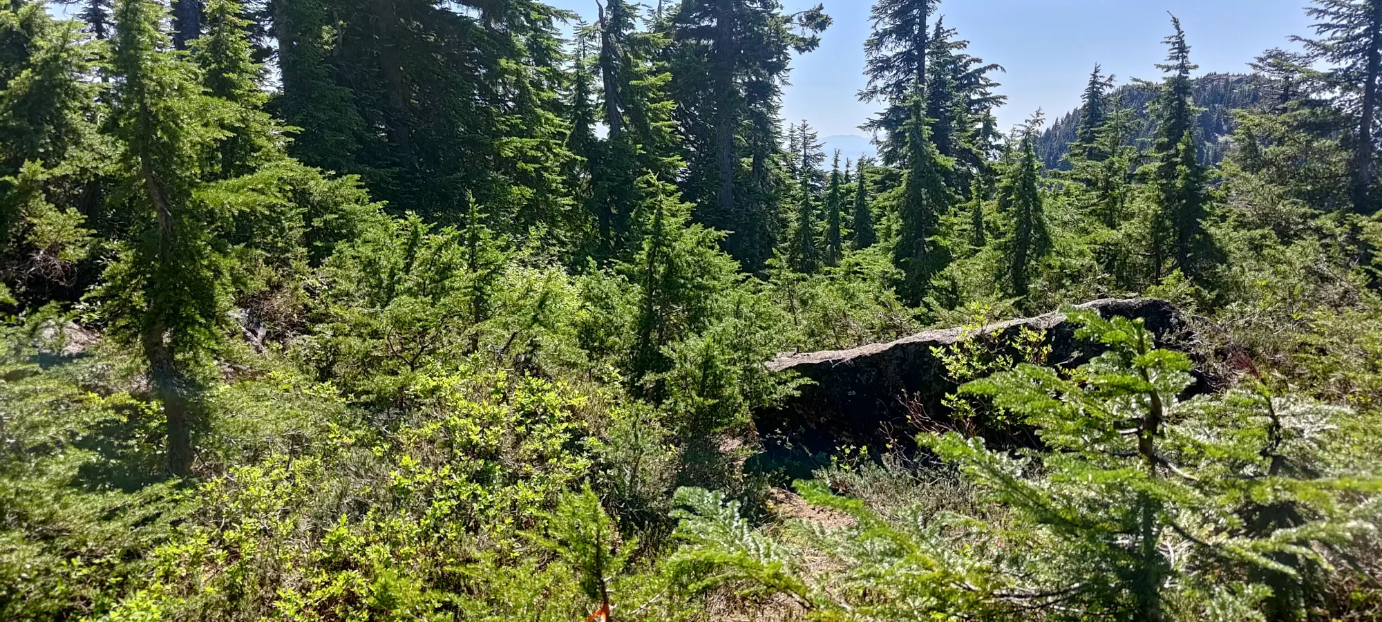
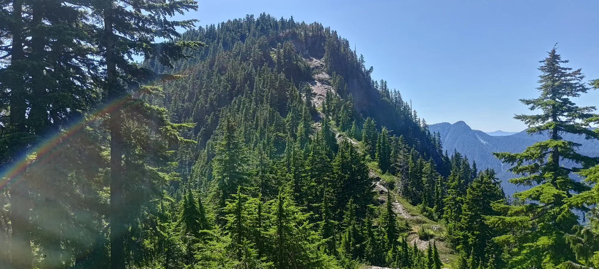
The trail was faint, but fairly easy to follow through the forest. I'd recommend pants to avoid scratching your legs up in there, but it wasn't too bad, more bush-slapping than full on bushwhacking (BW 1.5??). The hardest things were staying on-trail (flagging was sparse, and disappeared at the most critical moments, it seemed), and on the way in, not slipping on the steep+dry dirt (though the ample bush gave lots of opportunities for veggie-belays). I mostly stayed on-trail for the way down, though I think I stayed in the forest a bit longer than the "official trail" recommends. Regardless, I popped out on the small bump before the col in around 20 minutes.

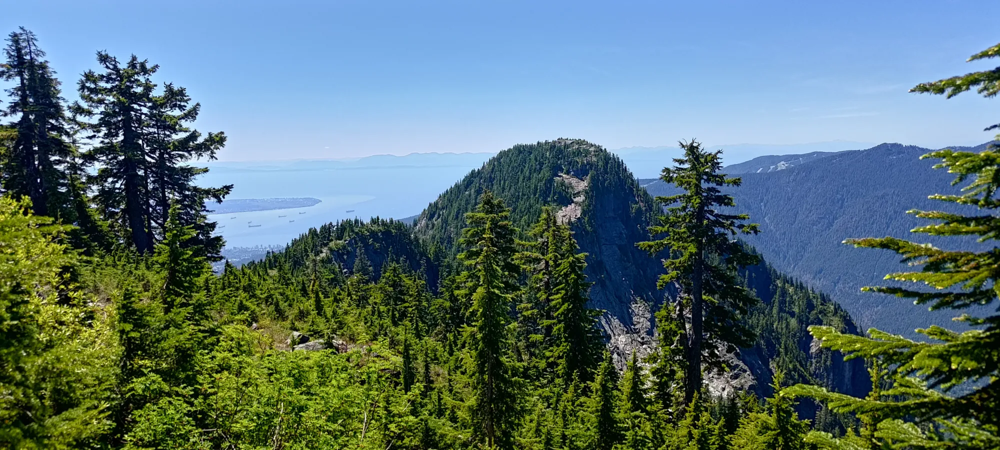
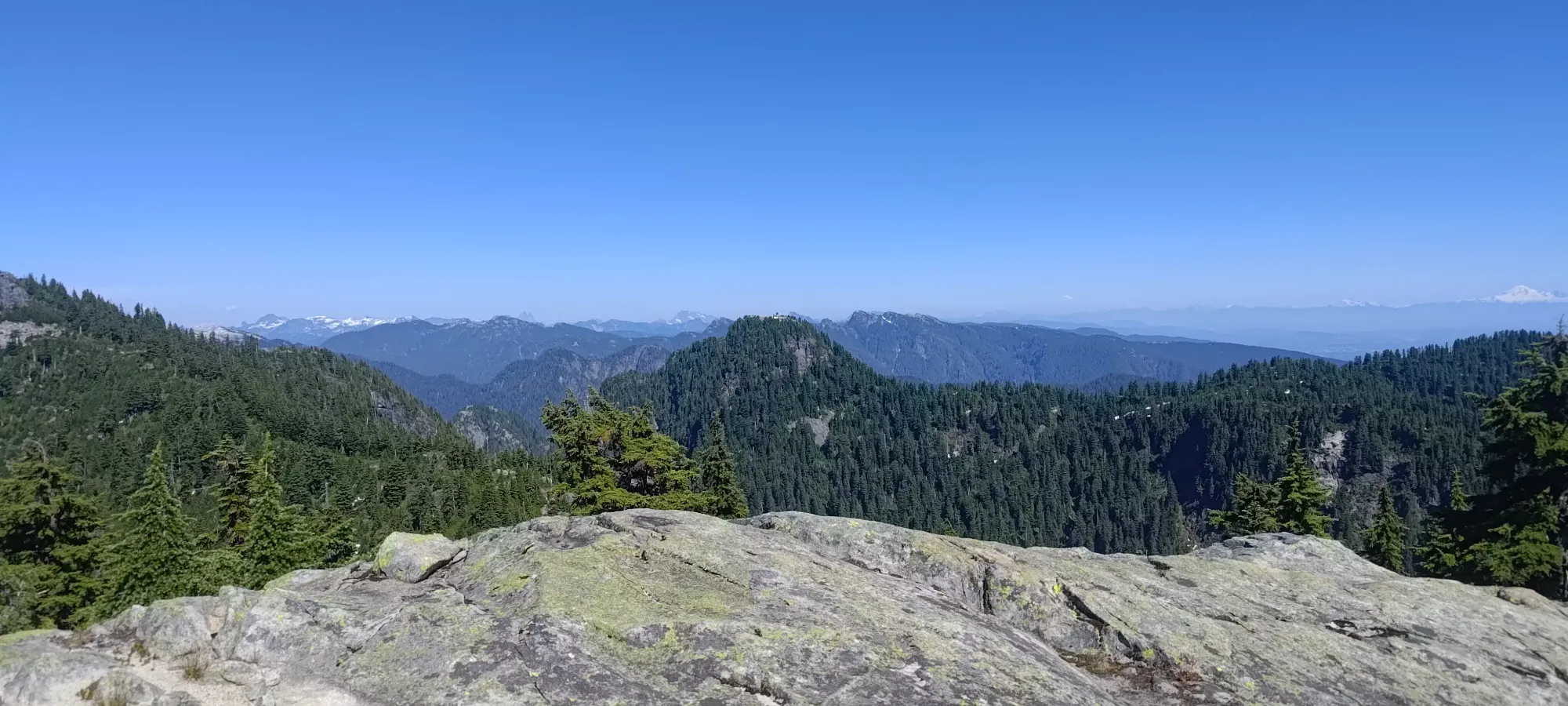
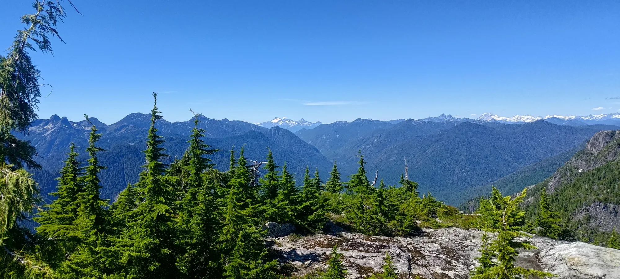
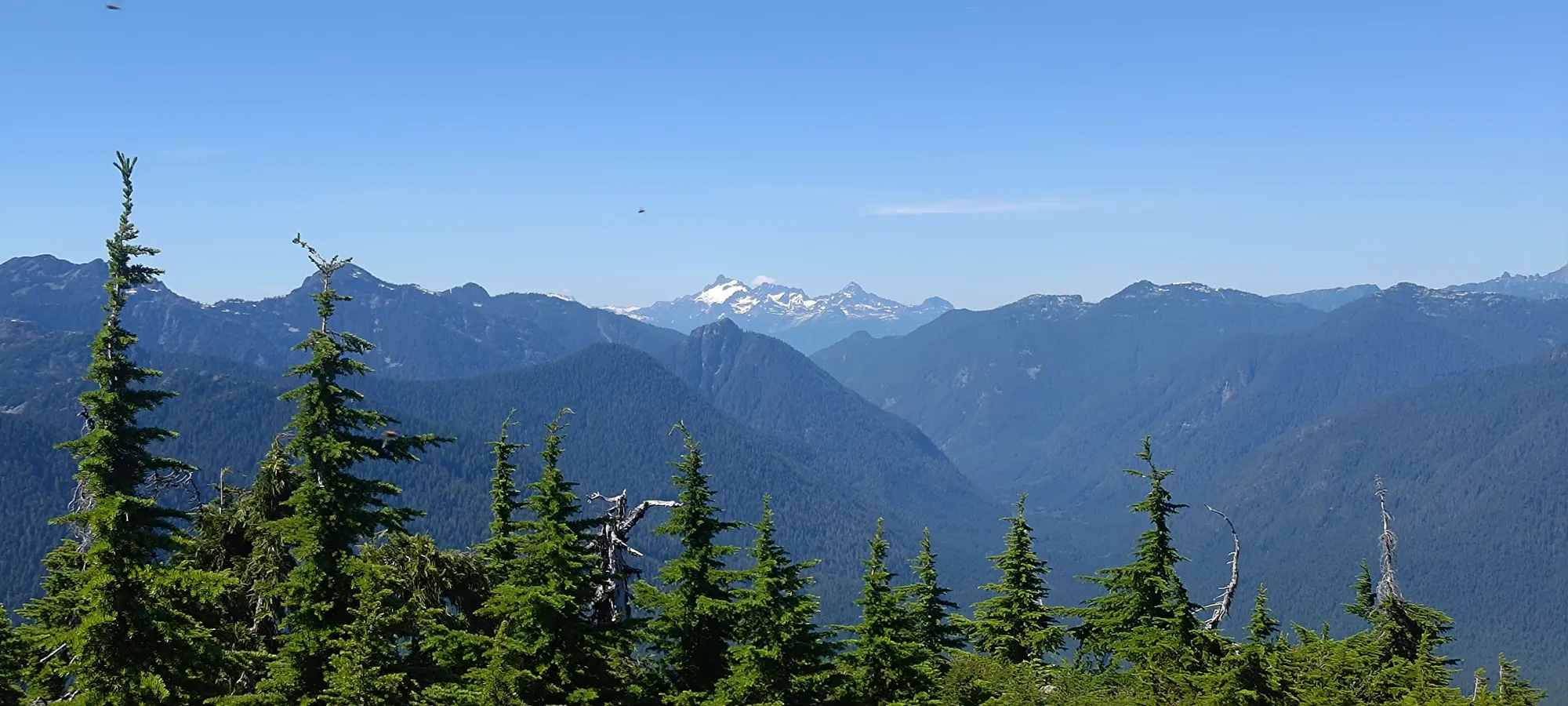
From there, travel was done in open terrain, though this did have the side effect of severely reducing the available shade, which was a bit disappointing given my growing tiredness in the blasting heat. The route up from the col largely followed a visual path through some slabby terrain right to the top, which made navigation easy, even without flags (though some were still present just in case).
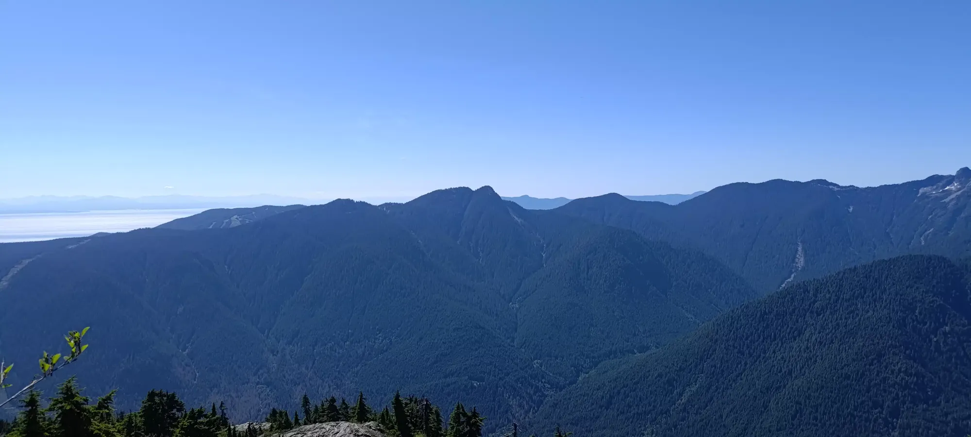
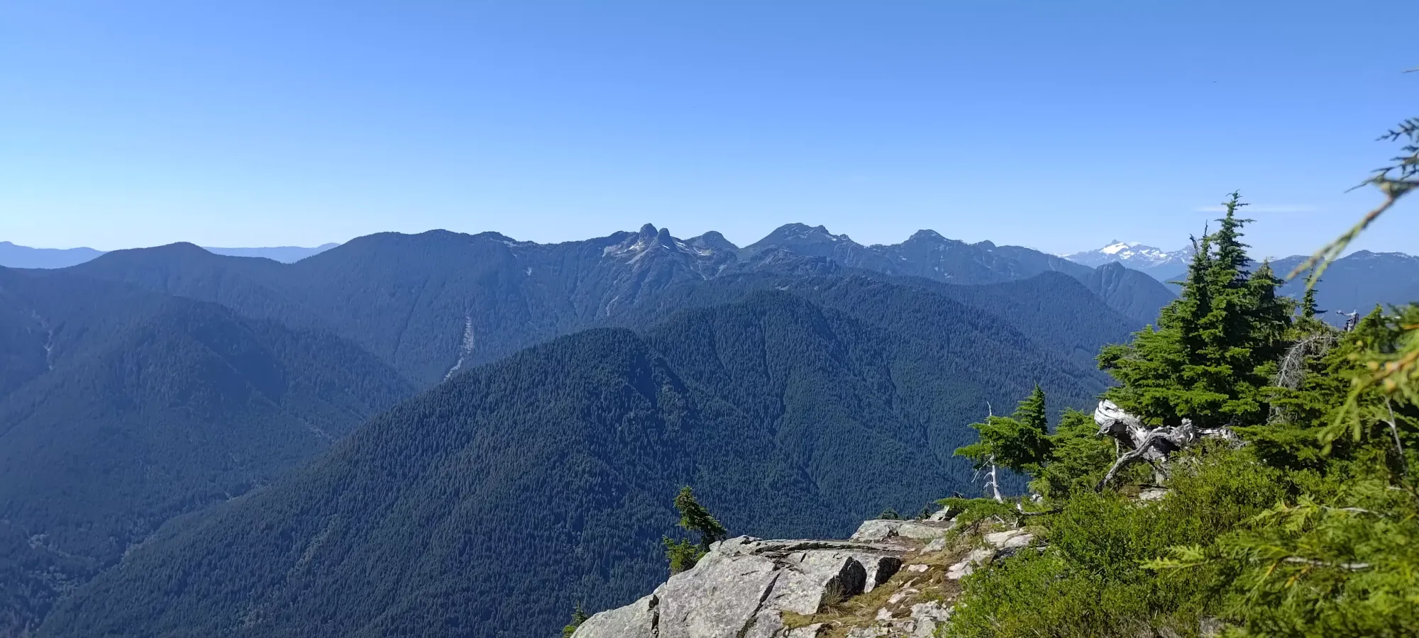
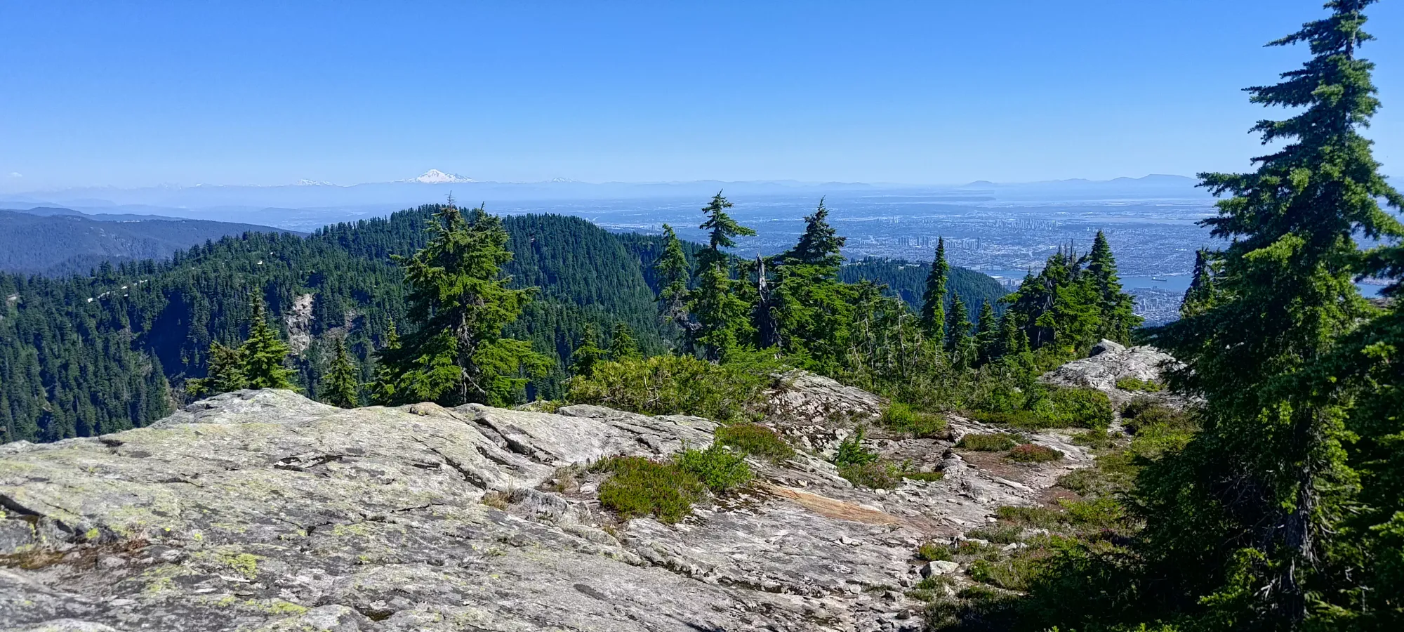
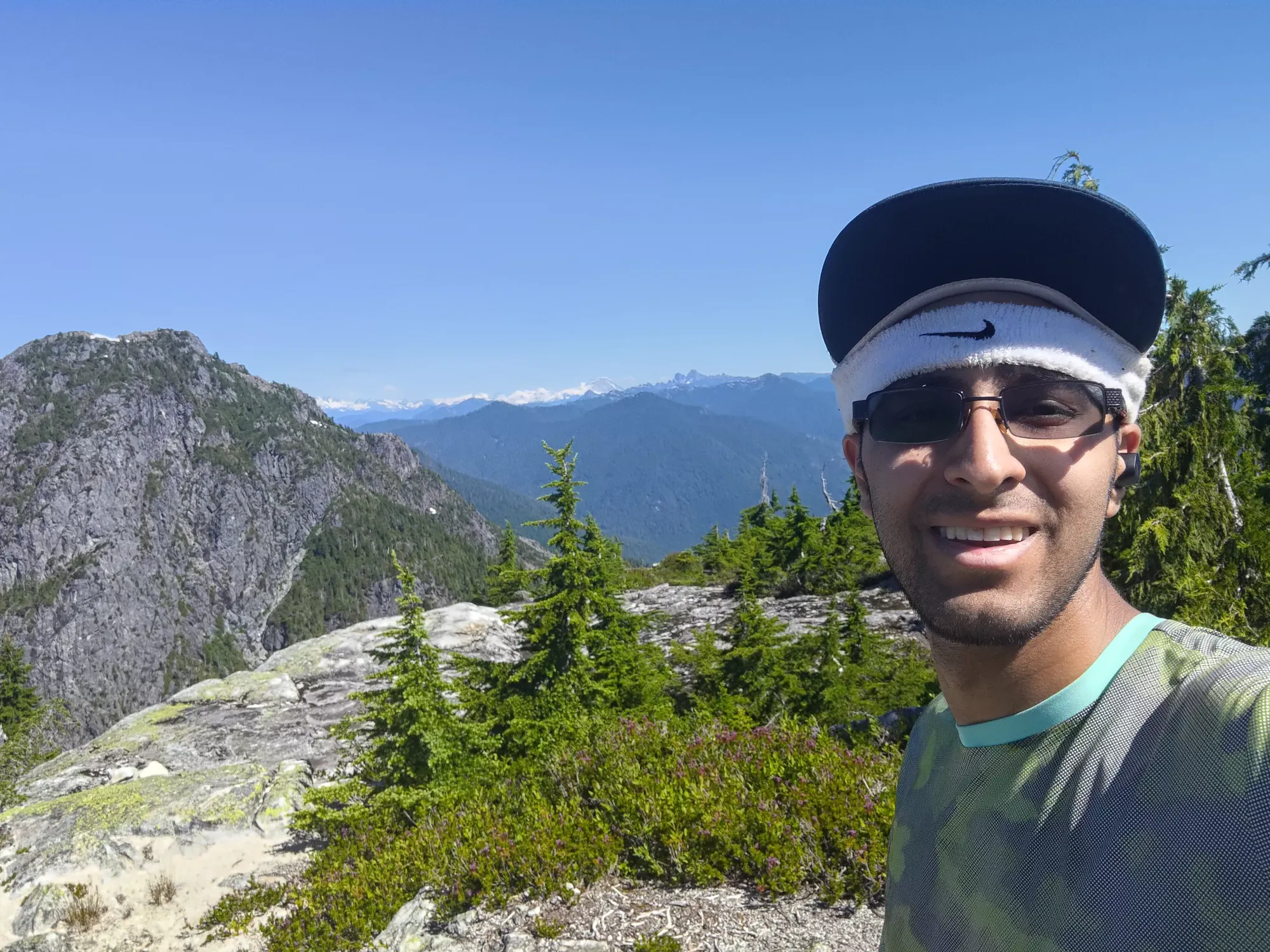
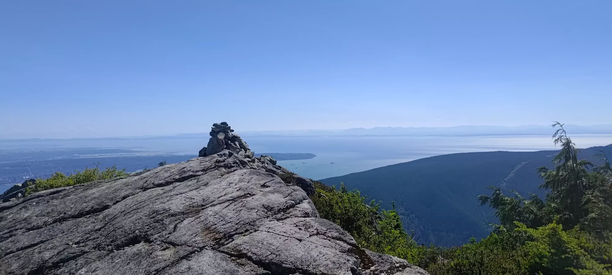
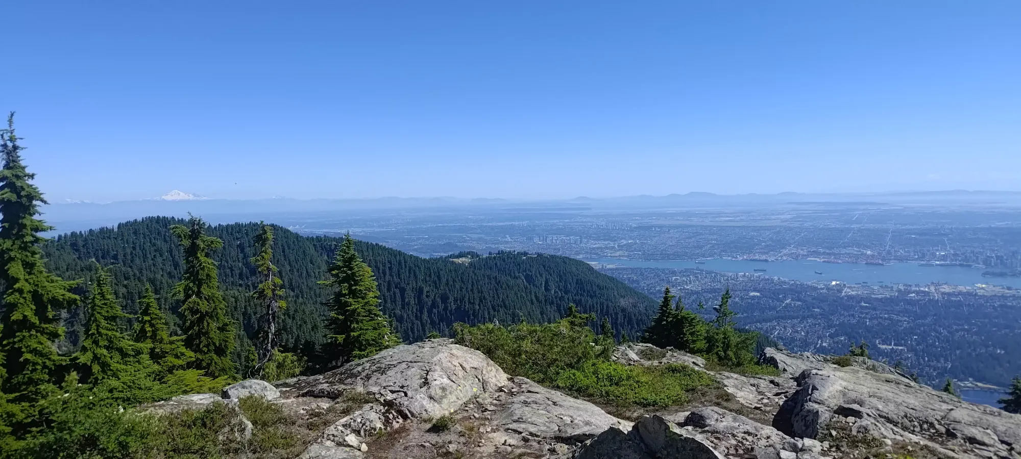
From the col to the top, there wasn't much of note, you just follow the obvious path up. The rock is slabby, but low-angle and textured enough to be easily walkable. I needed a few breaks along the way in my tired state, but made it up from the col in just over 30 minutes. The summit plateau required some simple scrambling to access, but it's only a couple metres of rock to get over, and you can do so almost anywhere you see fit. Once there, I enjoyed the views (which I honestly found better than on Crown), and rested in the semi-shade of a tree cluster near the top for about 10 minutes before heading back down, as the hour was getting a bit late.
From the summit, I mostly retraced my steps to the bottom of the col. From there, though, I stuck better to the flagged route. This worked great until about 1350m, where it... kinda just ended 😅. I had to do some fairly steep and exposed bush-scrambling to regain the ridge there, after which I was able to find more flags, with 0 idea how they would've connected to where they had ended previously, and easy travel resumed. The overall journey, as a detour from the Crown Mountain trail, took me a hair under 2 hours. Given this was now well over 1500m of elevation gain into the day, I was okay with that result. Now, I just had to struggle back down to Crown Pass, back up to Little Goat Mountain, then out 😅
The rest of the hike was just a repeat of what I did on the way up from my Crown Mountain report, so check that out if you want the trail details from there. As for this specific experience, I'll say that I was pretty gassed at this point, so my movement wasn't particularly fast. I made some friends who hiked down most of the way to Crown Pass with me, which helped pass the time. They were fresher than me, though, so they sped ahead shortly after the uphill back to Little Goat Mountain started. I took a bit under an hour to descend to the bottom of the pass, then another 45 minutes to get back up to Little Goat junction.
From there, it was a simple hour-long walk back to Grouse Mountain Lodge. I was debating the whole way back from Beauty Peak if I would take the BCMC down or just eat the 20 bucks and take the Gondola. After a much-needed bathroom break in the lodge, I was even more tired than before, and it was nearly 8pm, so I said screw it and just took the easy way out. That did allow me the time to visit my Grandma's house and trade some tech support for dinner, which was a trade I was more than happy to make.
Overall, I'm pretty happy with this outing. It wasn't the fanciest way up Crown, and I didn't get all the little subpeaks around it. But I did get the 2 important p100s I had left there, I managed to do the grind in a decent amount of time, I hit 2k gain for the first time in a while, and all in less than 10 hours. I'd say Crown is definitely worth your time. If you don't like suffering, e-bike up the road, or just take the gondola, though. The scrambling/climbing from the couloir is also probably the better way, if you wait for the right conditions (I hear it is also a fun winter climb, though I can't find any ski records, I generally try to pick skiable stuff for my winter outings). Glad to be done these two peaks for myself, at least.
GPX Track + Map