Bear Mountain (Mission) - February 9 2025
My first peak in a couple months due to injury, this is a perfectly bite-sized summit for those whose fitness is a bit lacking, or who just need something quick+easy. The summit does require a minute or two of bushwhacking to attain, however.


Chehalis, Mission, British Columbia
534m
After getting hurt on December 16th (this time it wasn't anything crazy, I just had a super unlucky fall inbounds at Whistler, and ended up fracturing my tibial plateau), I had been confined to the great indoors for a couple months. I was not even allowed to stand on that leg (same one as last time, in fact) for over a month, so that was... fun. However, I saw my doctor a little while ago, and got permission to walk, and I could slowly build up how much as long as I didn't do anything that would really heavily load my knee (especially laterally) like skiing, or lifting weights. So, after a few weeks since then of just "doing outings", walking around town, etc. I figured it was finally time to actually get some exercise, and get back into things.
I did my best to be responsible about it, so I picked the glorious area that is northern Mission to head to, as it's full of inconsequential bumps perfect for the rehabilitating peakbagger. My criteria were easy terrain (minimal-to-no bushwhacking, no wacky scrambling that might require funky moves), bite-sized peaks so I could do as many as my body would allow without having to push too hard just for one, and, of course, "peaks I've not already bagged", because repeat peaks are a waste of time 😄
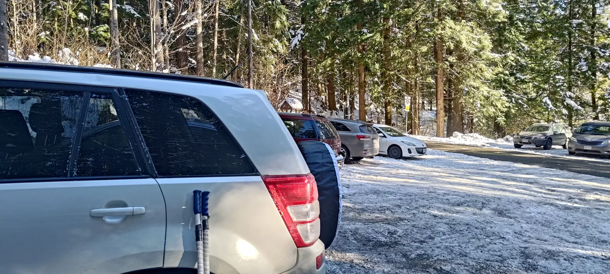
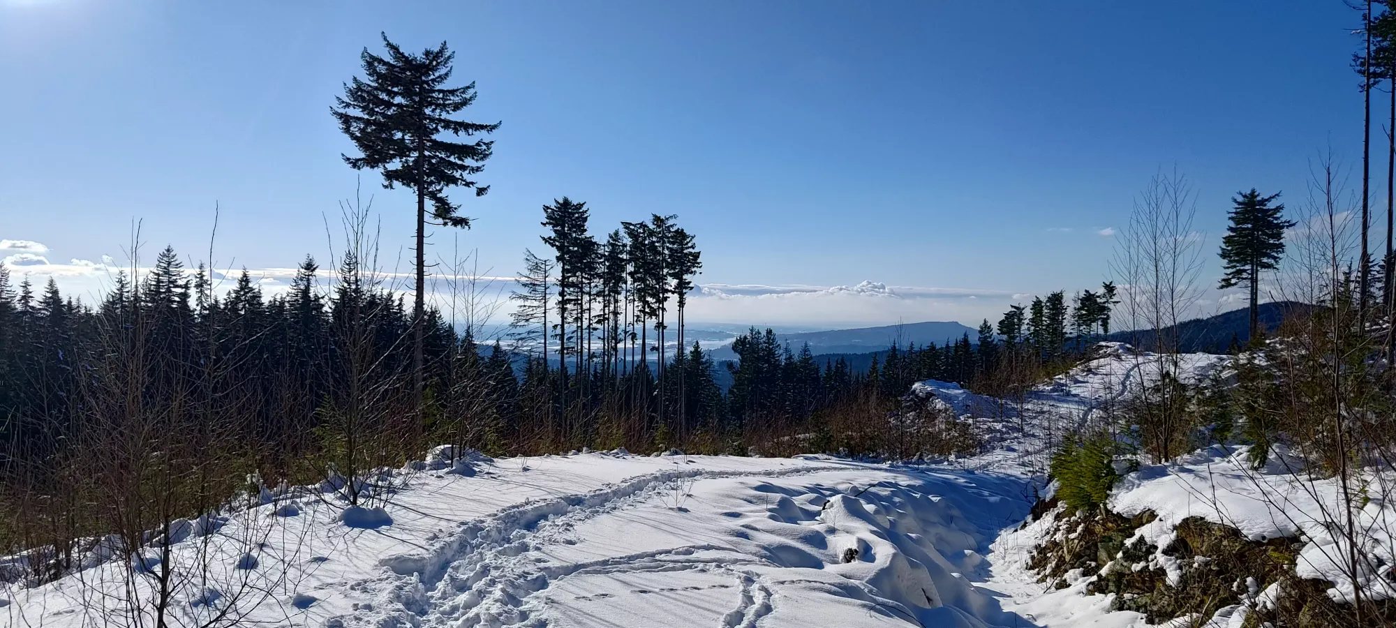
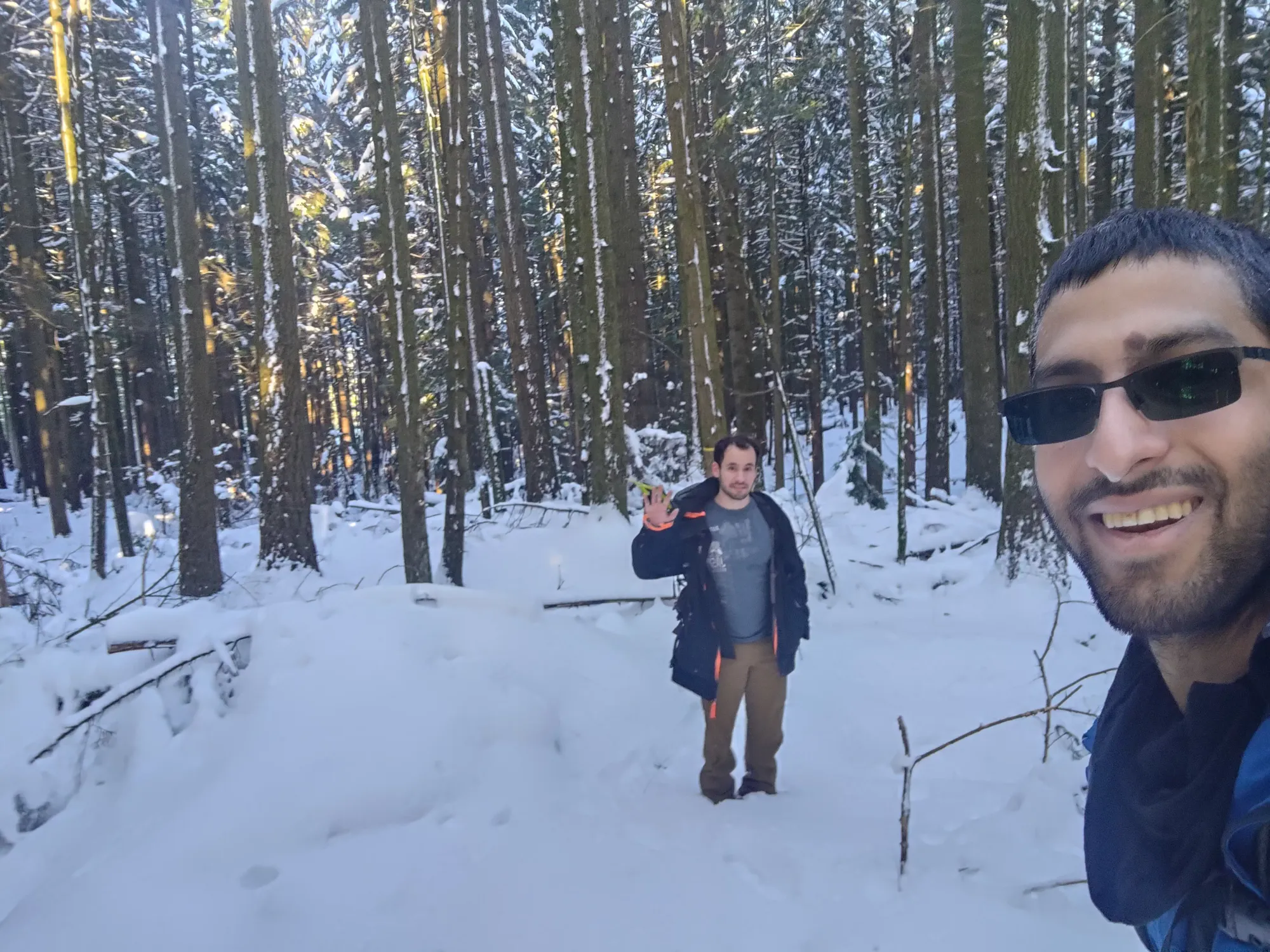
I managed to convince Logan that Super Bowl Sunday was the perfect day, since the weather was good, and the Bills got eliminated anyways, so he agreed to be my chaperone on this first day back 🙂 So, after quite a late start, I drove down from Squamish, picked him up in the city, and we headed off to the first peak, Bear Mountain. There were a few potential options in the area, but this was chosen due to proximity, the existence of roads to the top (easy terrain for my still-fragile knee), and fairly-well-known access situation (unfortunately "everything is gated"). So, after some guesstimation to figure out if the western or southern approach would be most efficient, and settling on the latter, we parked and started heading up at a casual 2:13pm.
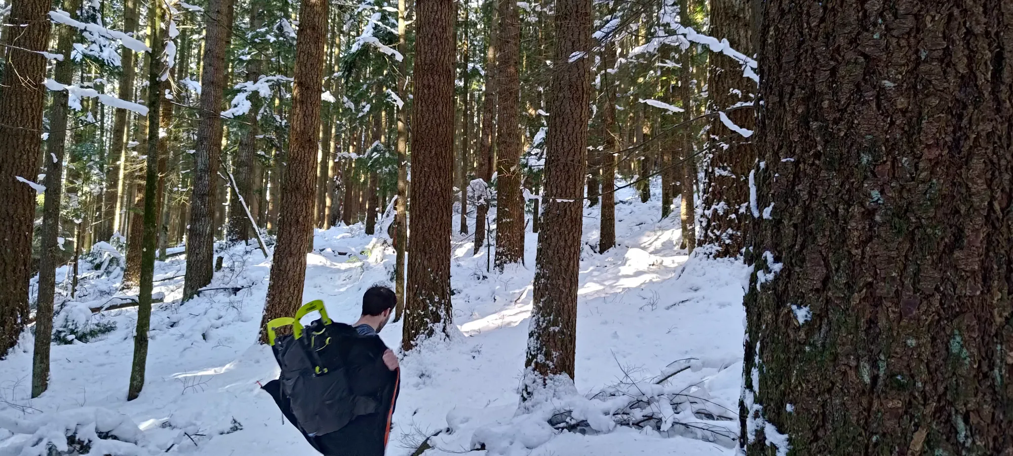
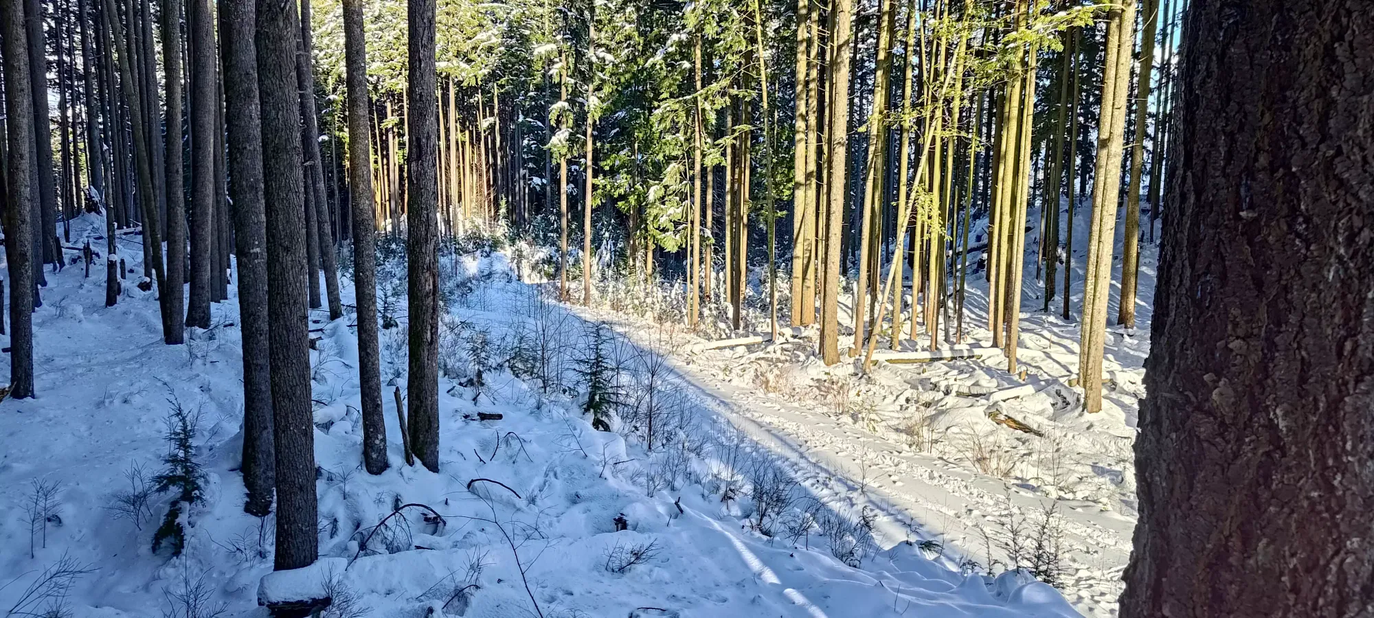
My goal for the day was (other than bagging peaks, of course) to try to get as much of a workout as I could without totally crashing, given my couple months of inactivity. So we set out at about a 10min/km pace up the road, took a couple photos of the gated "trailhead", then started following a well-broken footpath up the snowy forest roads.
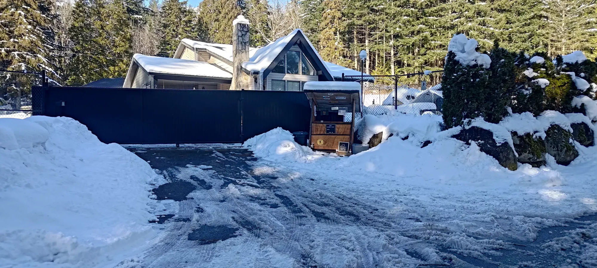
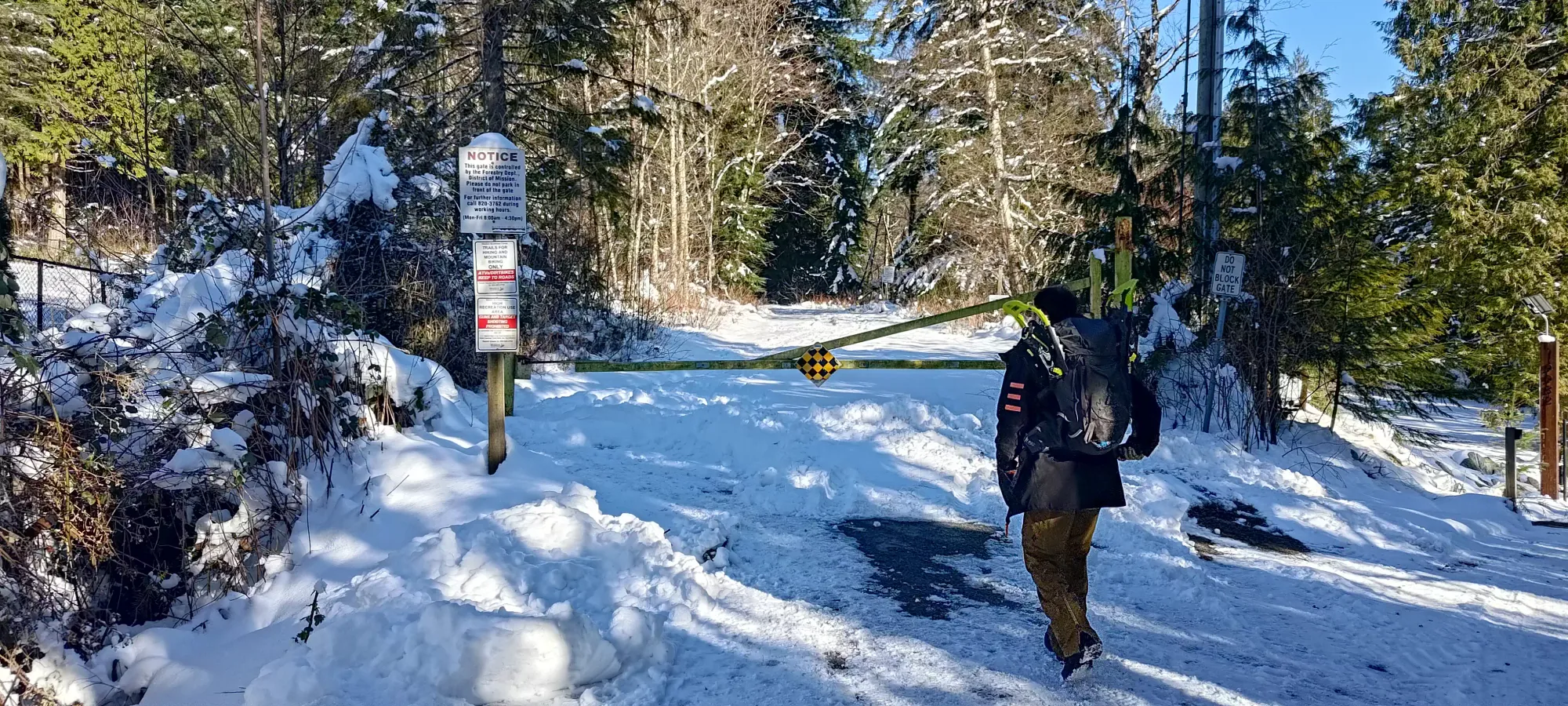
Small farm by the gate, and the gate itself. Seems it may be open sometimes, but it was not for us
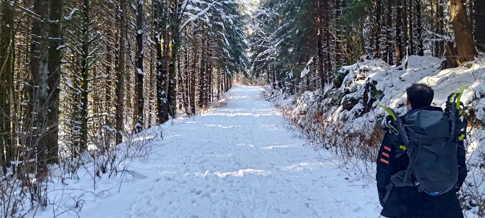
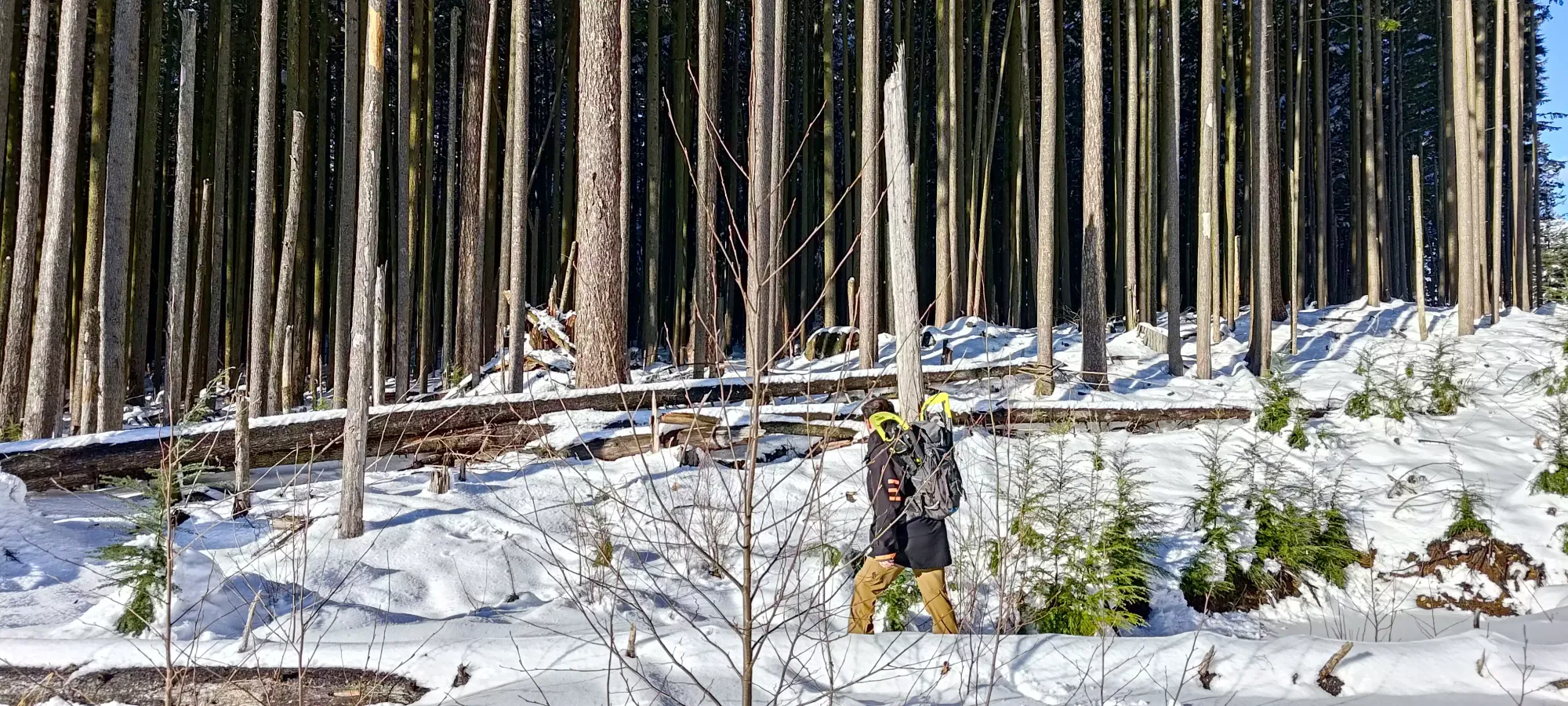
Due to the seemingly high traffic in this area, we didn't need the snowshoes we'd brought just-in-case, and we cruised up the roads pretty easily. After a couple forks/switchbacks, we noted that the Lorax MTB trail was broken as well, and a bit more direct than following the roads, so we decided to follow that.
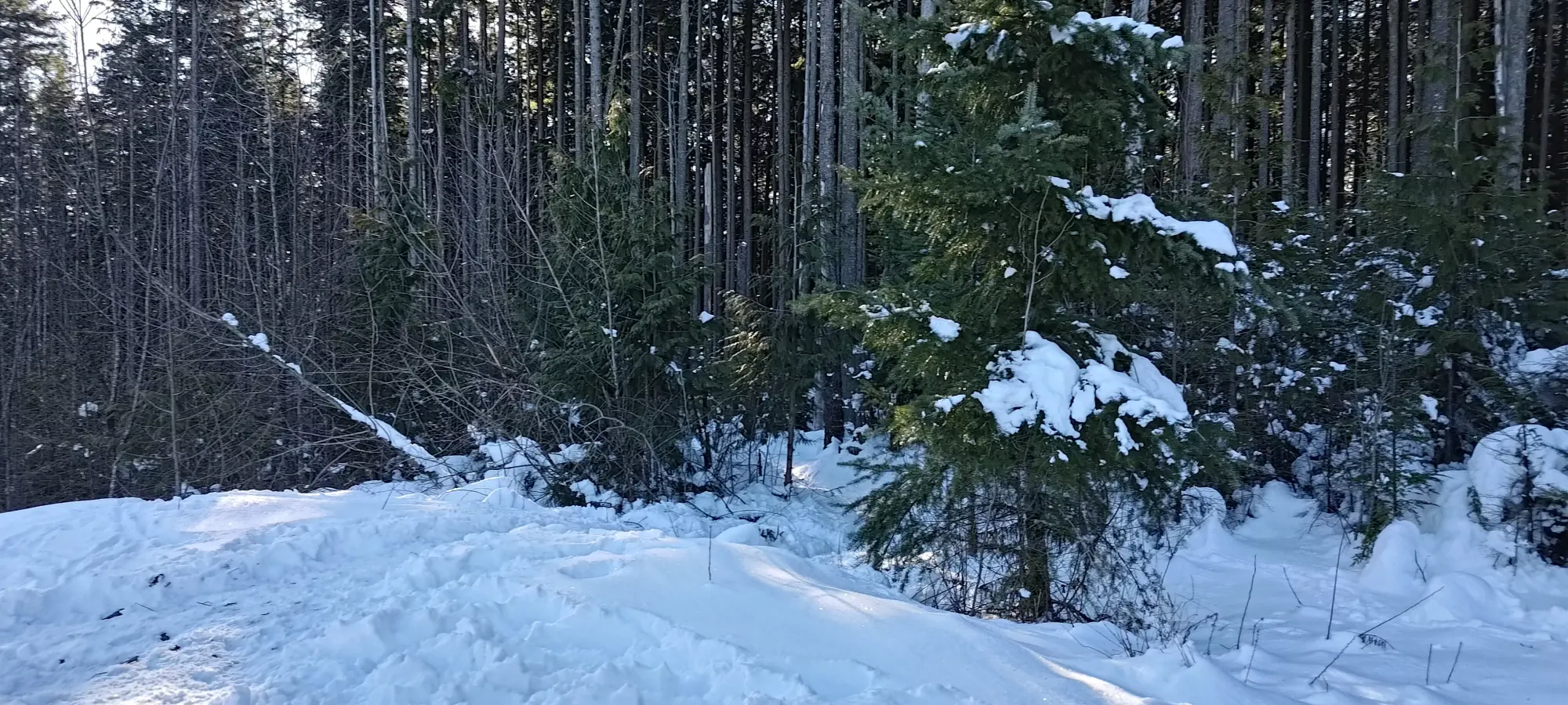
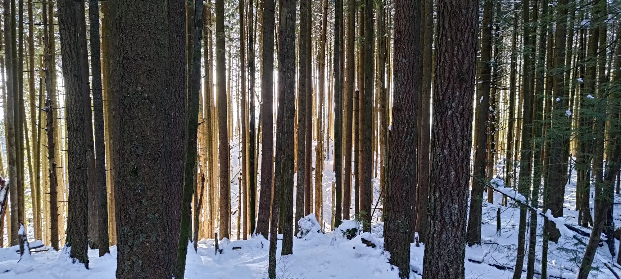
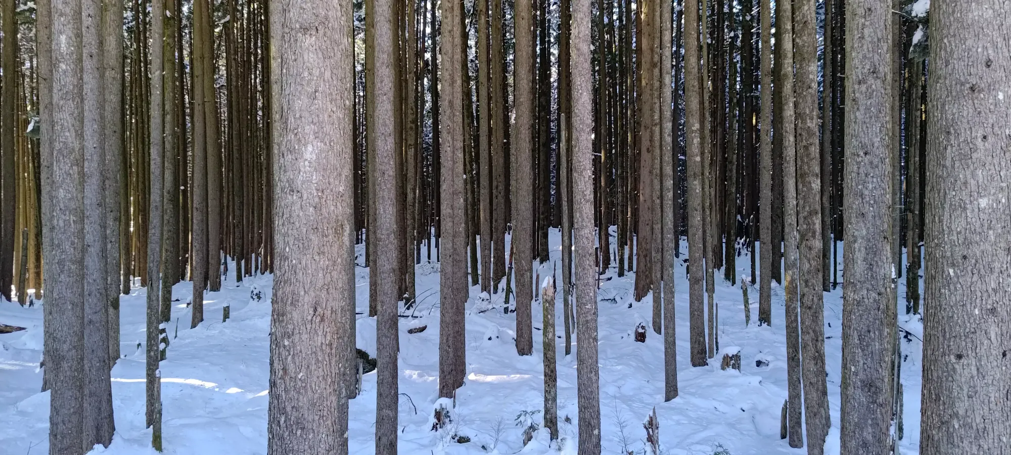
Once we started going up this steeper trail, I started to feel my lack of fitness pretty quickly, sweating pretty hard despite the not-super-fast pace (45 minutes to cover about 3.5km and 300m of gain). It was honestly better than I expected, though, so I was pretty happy with that pace. The trail itself is pretty uneventful. As a blue biking trail, it's not too steep, so it works well for walking (especially when coated in snow, when bikers are unlikely to come barrelling into you). It just winds through the forest, so there isn't much to see until you pop back up on the roads near the top.
We popped out on SA-440 (the road) just before 3pm. Sadly, this wasn't directly on the true summit, so we wandered down the adjacent Bigguns trail until it started curving back downhill, and we realised that following the roads for a bit longer would be more efficient to track the summit down, as there was a bit of a dip in the summit plateau, and the high point seemed to be on the far side of it.
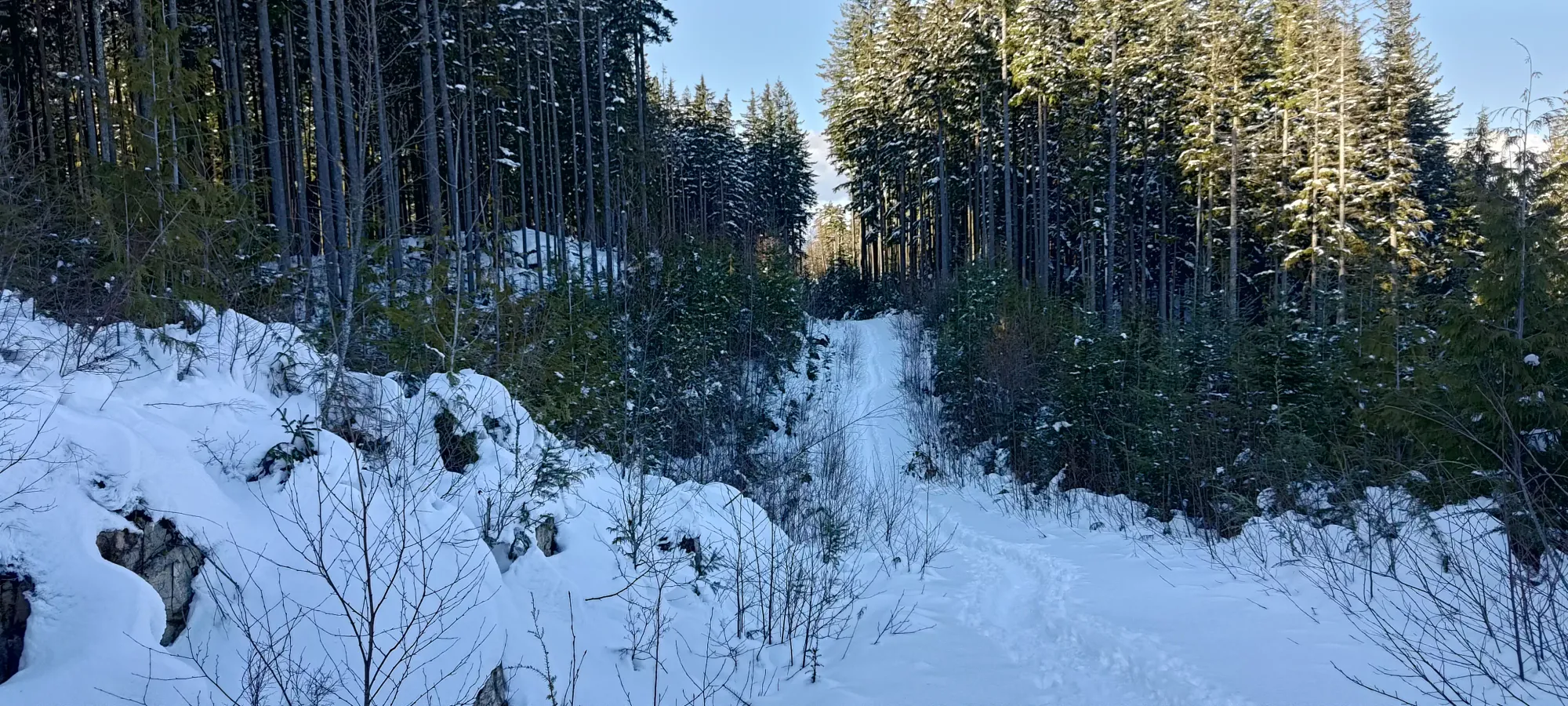
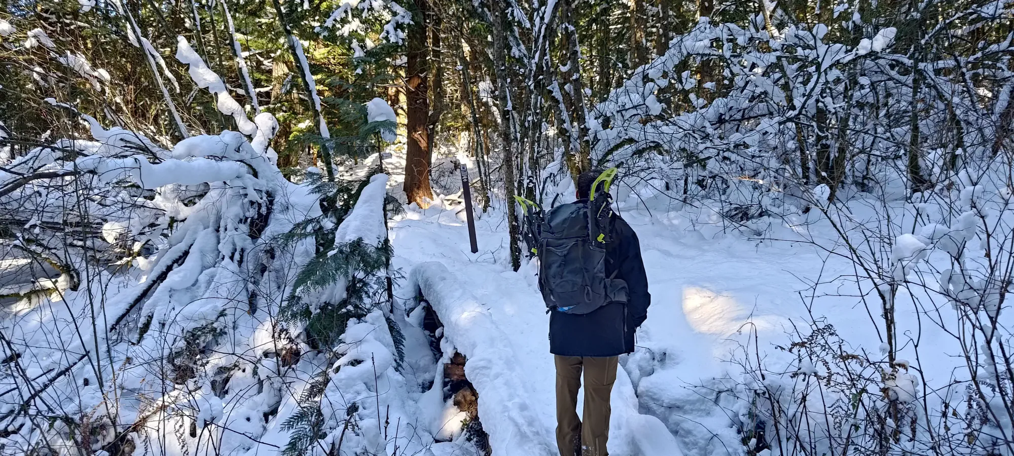
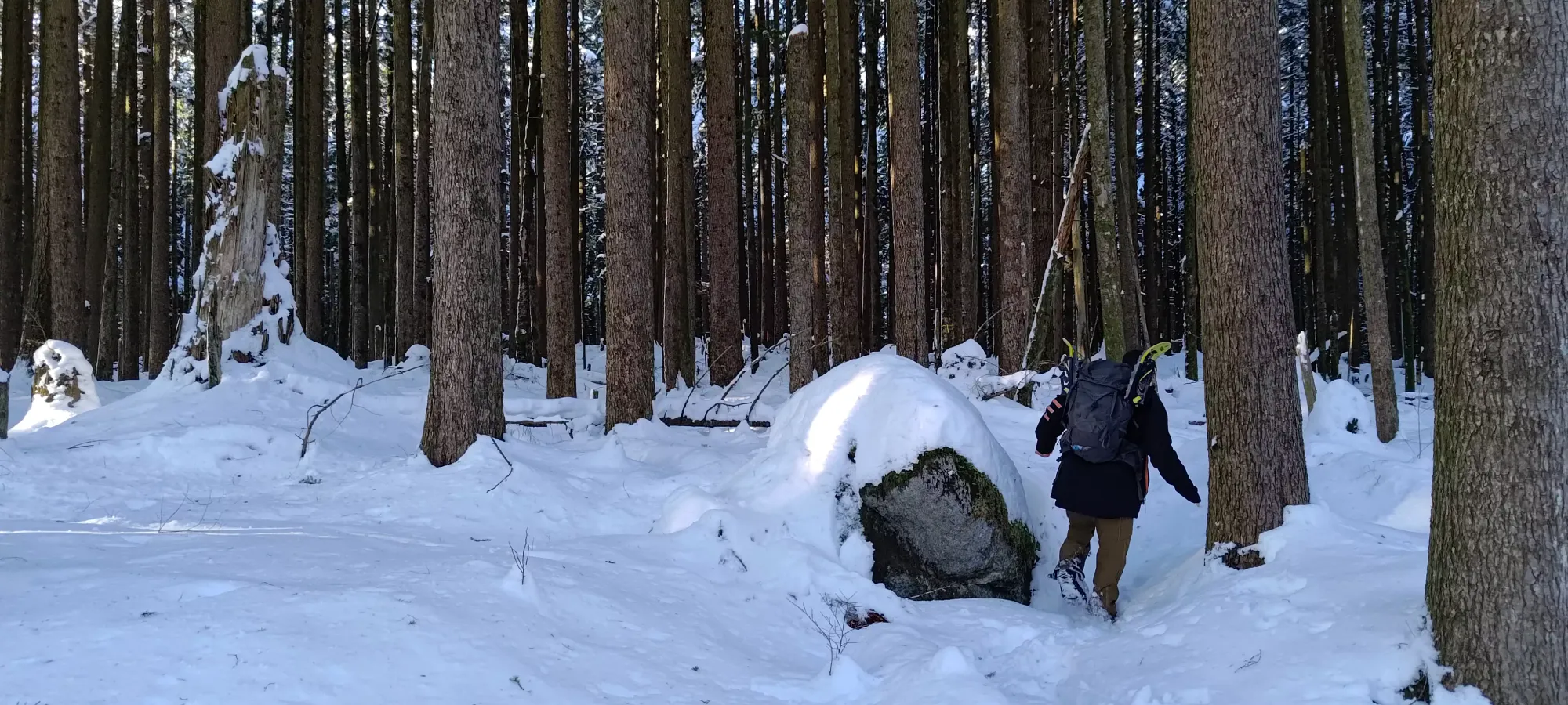
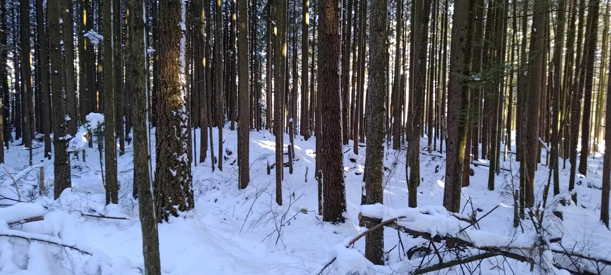
That brought us to SA-450, where we walked along it for a bit to see the views on the west side of the peak. We didn't really care to go all the way to the end for more than a quick peek, though, so we headed into the forest there (closer to the intersection we'd come from, there's a deep ditch to cross, but it's quite shallow further west), after confirming that we wouldn't have any tracks to follow to get to the true summit, and it was finally time to break a little trail. According to our maps, though, it wouldn't be quite enough to bother breaking snowshoes out.
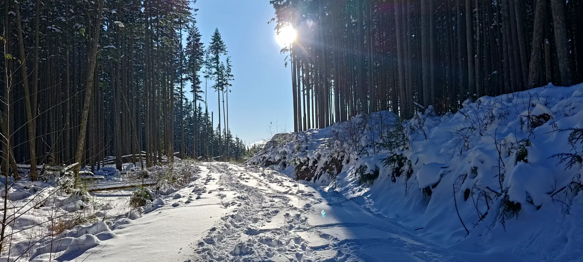
The snow wasn't actually all that deep, so snowshoes wouldn't have helped a ton anyways. We wandered over to the summit indicated on our maps, and also to a spot further in which visually looked higher at first, but once we got there, seemed pretty similar. Better to be safe than sorry, though, so we tagged all the bumps that looked like they might be high points. The whole excursion only took about 15 casual minutes, so it's not like it was a large investment of time or effort. The snow made things nice and easy for travel as well, as all the bushes and branches were covered up nicely.
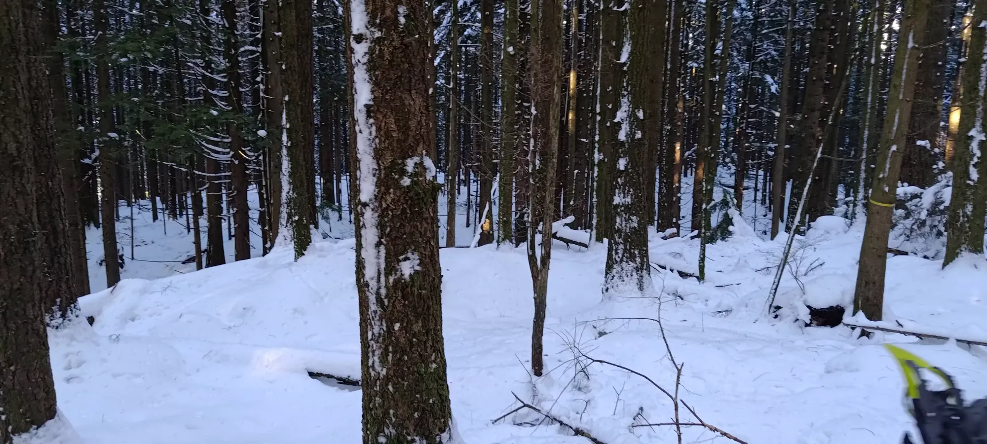
Such views. Much wow.
After our attempted shortcut to get back to the road by cutting down the steeper bank (the postholing and necessary circumvention of jumps my leg was not ready to attempt made it definitely longer than just reversing our tracks 🙃), it was an uneventful 40-minute descent back to the car.
Not the most exciting peak in the world, but perfect for a first trip after a couple months out. I managed to work up a good sweat, we got a peak with a surprising 300+m of prominence, and my knee didn't explode! With that, we had just enough time to squeeze in a second peak before the day was over.
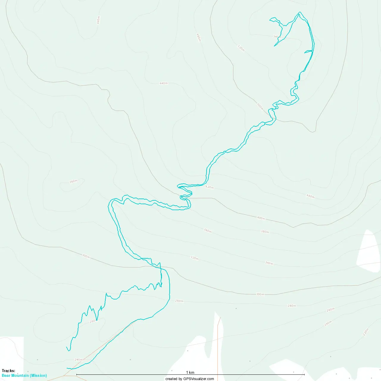
GPX Track + Map