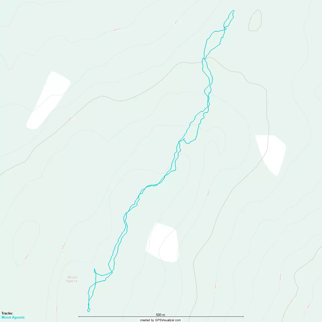
Bear Mountain - June 1 2024
A simple but long hike near Harrison Hot Springs with decent views along the way. Bikes would definitely be the best way to have fun here, though
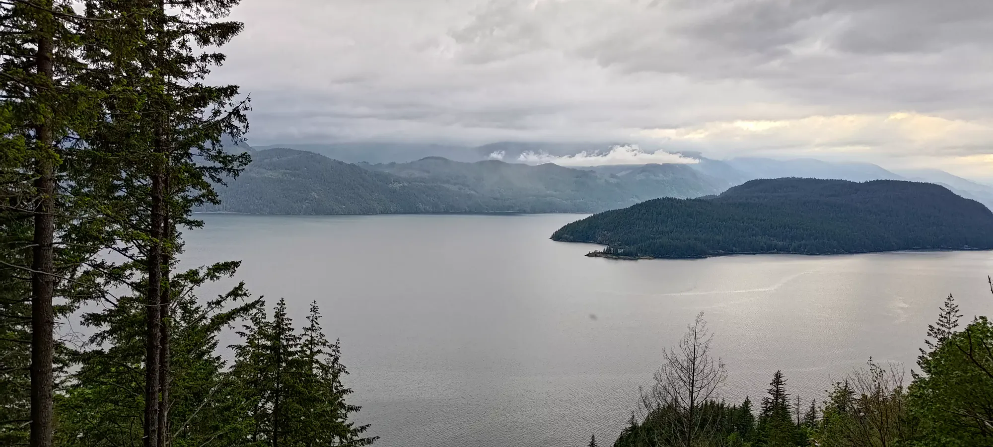
Lillooet Range, Harrison Hot Springs, British Columbia
962m
After bagging Mount Agassiz earlier in the day, Scott (my partner for the day) and I headed out to the second p600 in the area, Bear Mountain. The previous peak was quite short hiking-wise, but this one promised to compensate (as far as a day of nearly-trashbagging goes), with a trail length listed at nearly 20km. Nothing big, but "a real hike" nonetheless. We had heard varying gate reports, so we were pleased to discover the lower gate just off the road to be open, and no gate on the trail itself (as the trail is an old FSR). The mine nearby had a gated road, but that is not relevant to bagging the peak. I drove the trail until we hit a rock obstacle maybe 150m in. It is a narrowing in the trail, and I probably could've squeezed through, but Scott wasn't super comfortable spotting and I didn't feel the need to push given the day was overall pretty easy still, so I just parked and we set off. A narrow vehicle, a regular but "not long" vehicle, or a vehicle that can flex and climb with their left tires could probably all get past and get about 500m in. Past that, there is a waterfall that has eroded the road and makes it "serious 4x4 with massive exposure" territory, I'd say "if you hate walking, just bring a bike instead".
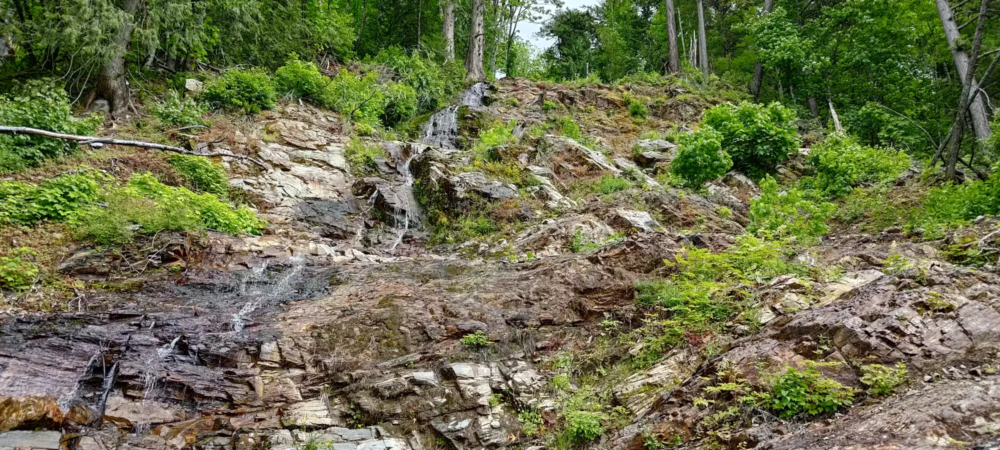
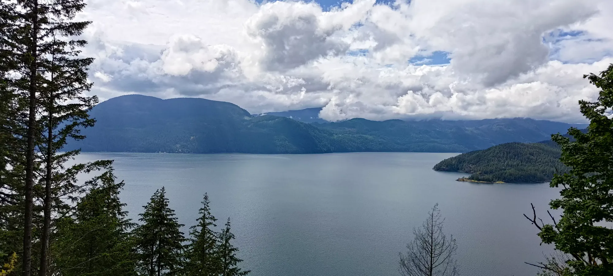
We started at 3:23pm, and other than a break to stash my anti-bug layer I used at the car 😅, Scott decided it was a good day for a workout, so we pushed a pretty good pace (by we I mean Scott, while I tried not to embarrass myself and keep up 😄). In half an hour, we gained about 400m of elevation somehow, and by the one hour mark, we'd tacked on another 300m of gain. Given our ~140m starting point and the 1036m summit elevation, we'd already cranked out a large majority of the elevation in the first hour!
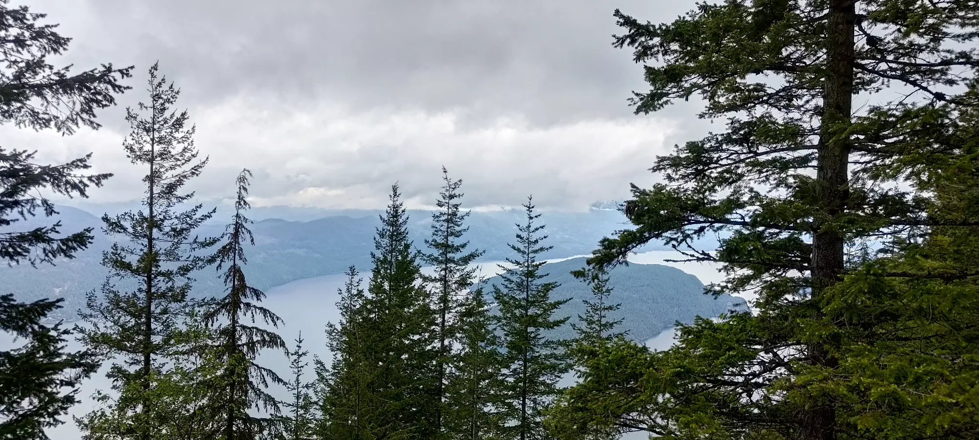
The efficient trail continues up to about 920m or so, but then it levels out, and there's about 3km left to gain a whole ~100m, so rather inefficient. Neither of us really looked that hard at the trail beforehand, knowing "it was an easy walk" and figuring it'd "be fine", and just leaving at that (a bad habit of mine with smaller peaks I just assume will be easy, though this time harmless). As such, it took nearly an hour to get from 840m up to the summit, even though that was less than 1/3 the elevation of the first hour. The trail did, at least, turn into a real trail here, whereas below while it wasn't always a wide, "technically driveable" road, it was always obvious it used to be one, even if it had since been grown over on one side.
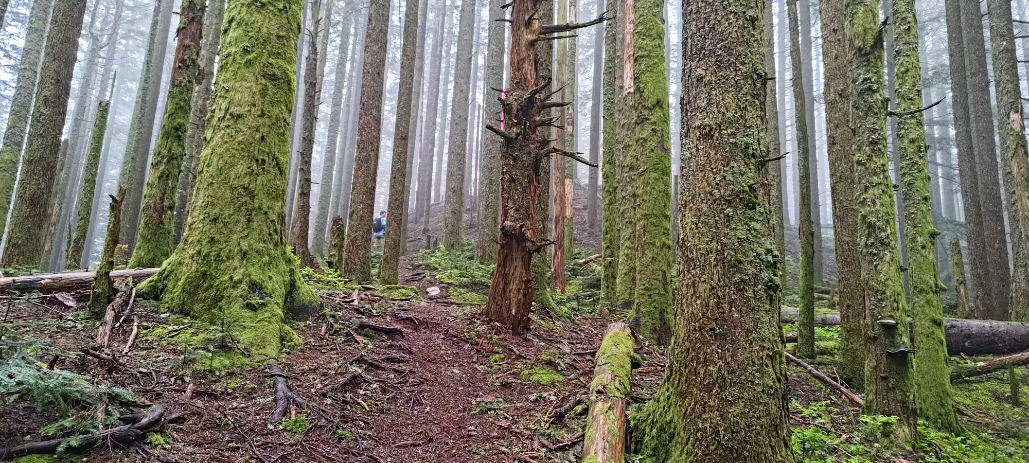
At the "summit", we once again had a bit of a situation finding the true summit. The marked summit was basically right off the trail, and was where we first stopped (after walking past it a bit and finding ourselves lower and past the summit indicator on our maps). However, that point we stopped at had a small hill full of deadfall beside it that kinda looked a bit higher, so after a couple minutes of contemplating our life choices, we decided to spend the couple minutes to be sure, and weaved through both live and dead trees to stand on top of that hill too, just to be safe 😅.
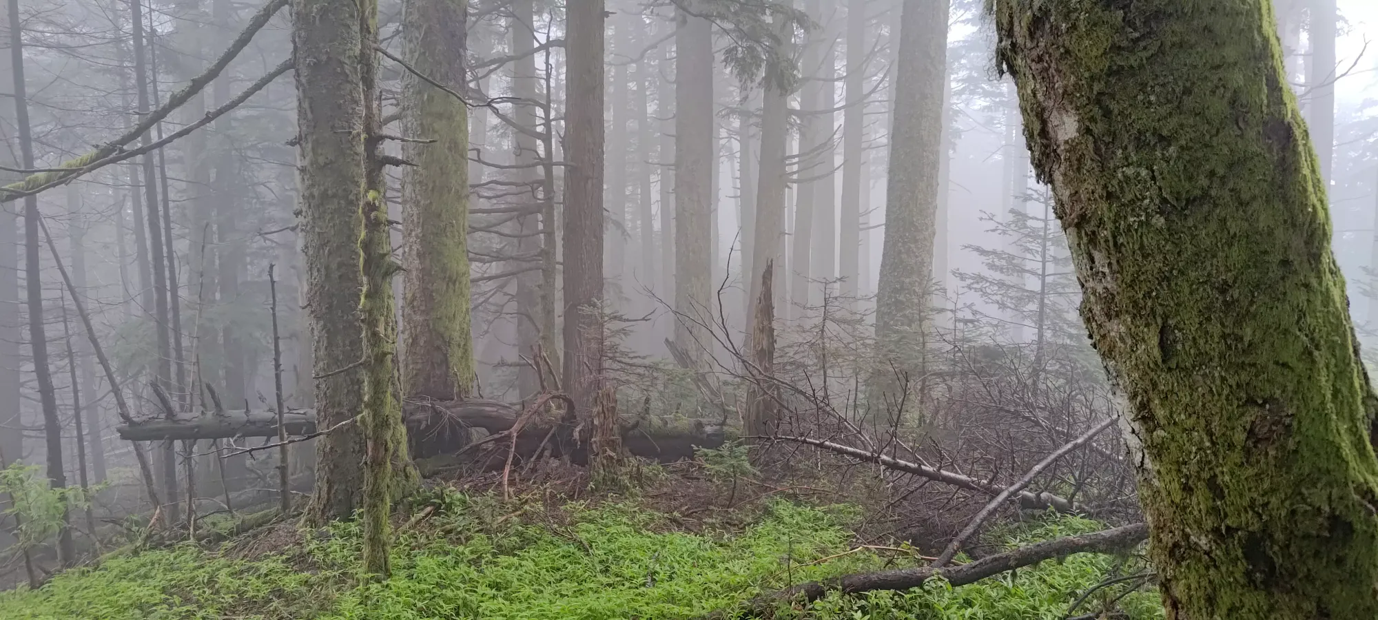
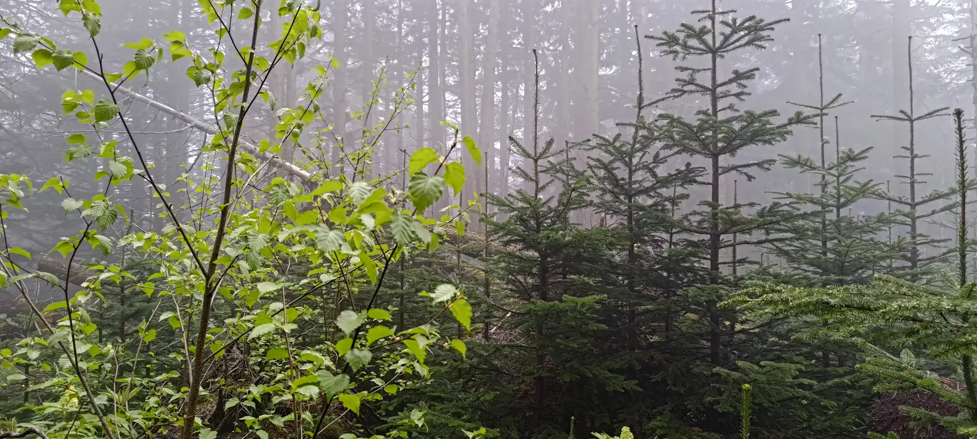
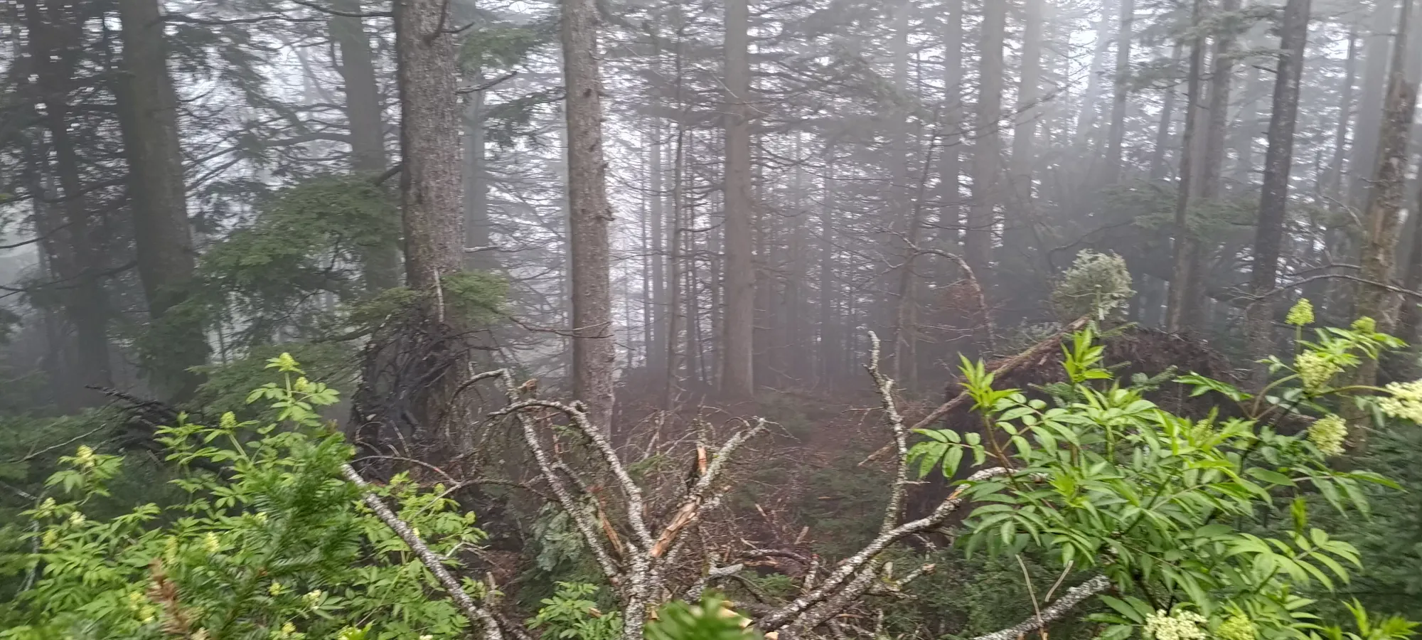
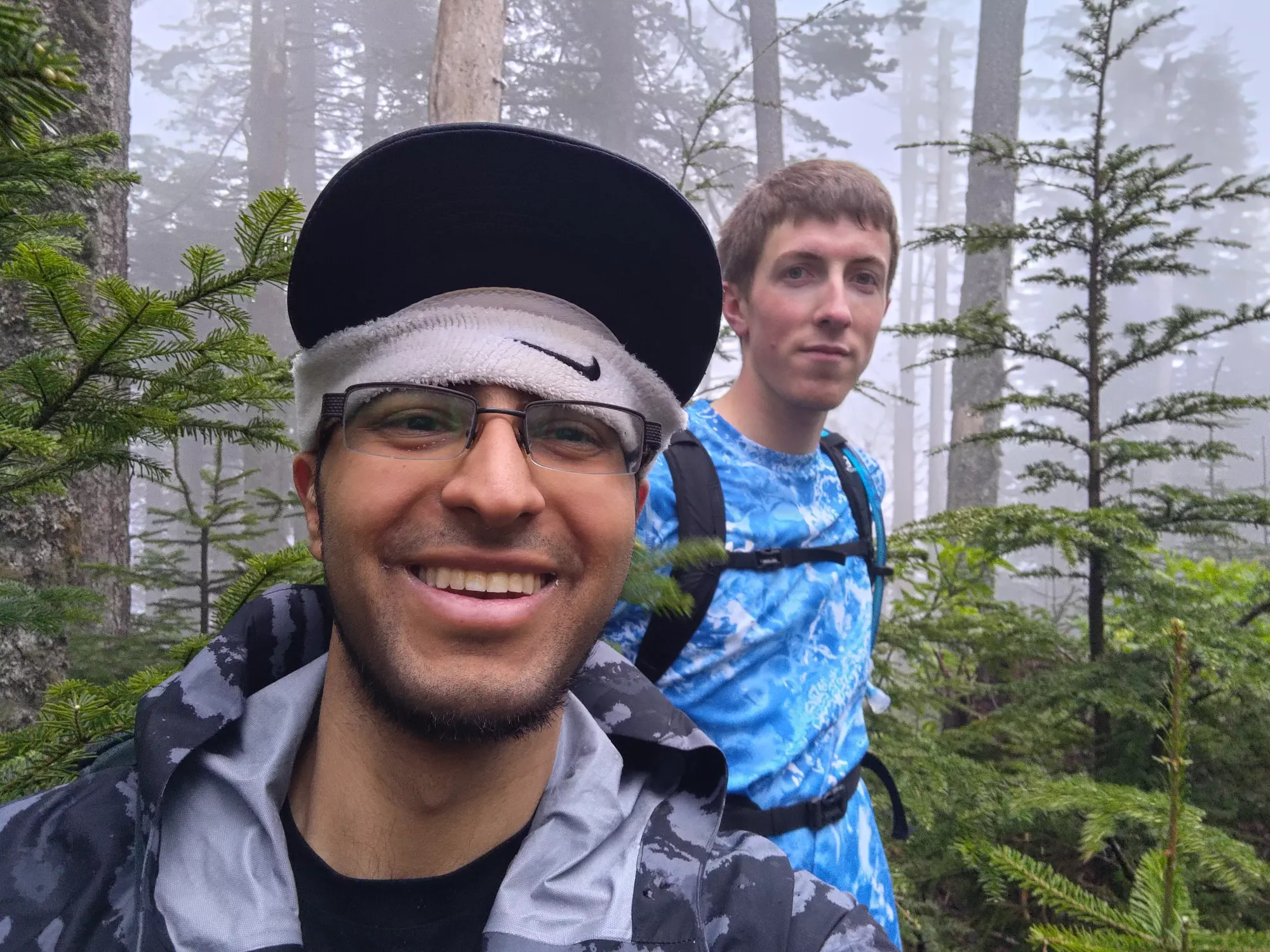
After just under 10 minutes of summit-hunting, we set out from the top a bit after 2 hours had elapsed on the hike. If we had bikes, we could've basically biked from the top all the way down, which would've been both efficient and enjoyable. However, we did not have bikes, so instead we walked down for, depressingly, LONGER than we spent walking up! The walk down took exactly 2 hours, with nothing really noteworthy happening. That's what you get with a hike that's 30% good trail and 70% FSR, there's nothing that really "happens".
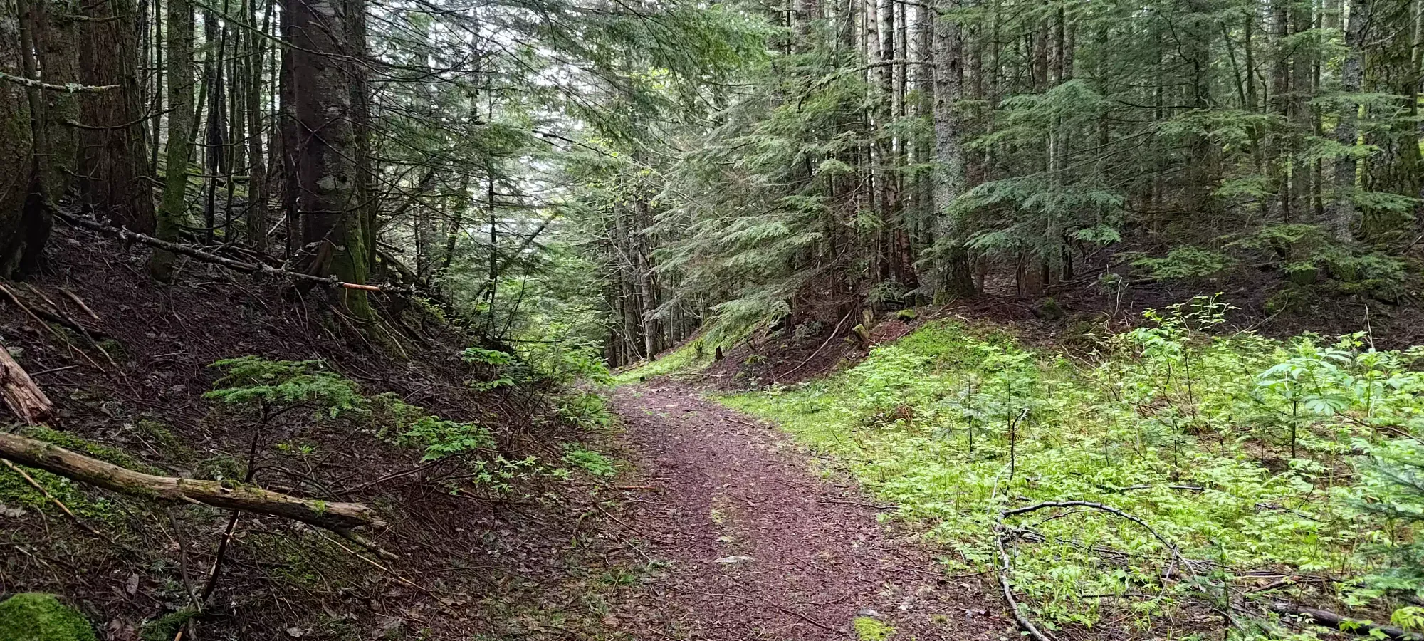
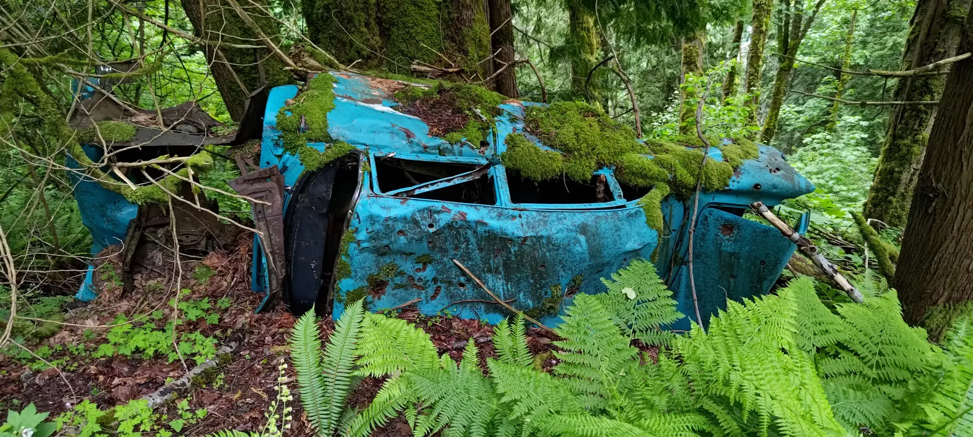
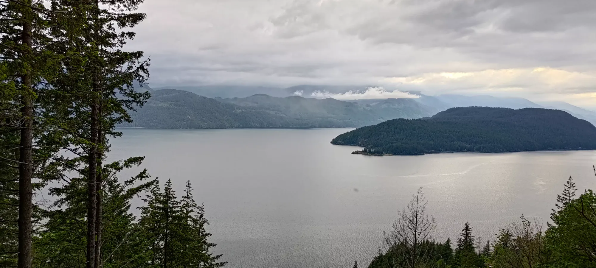
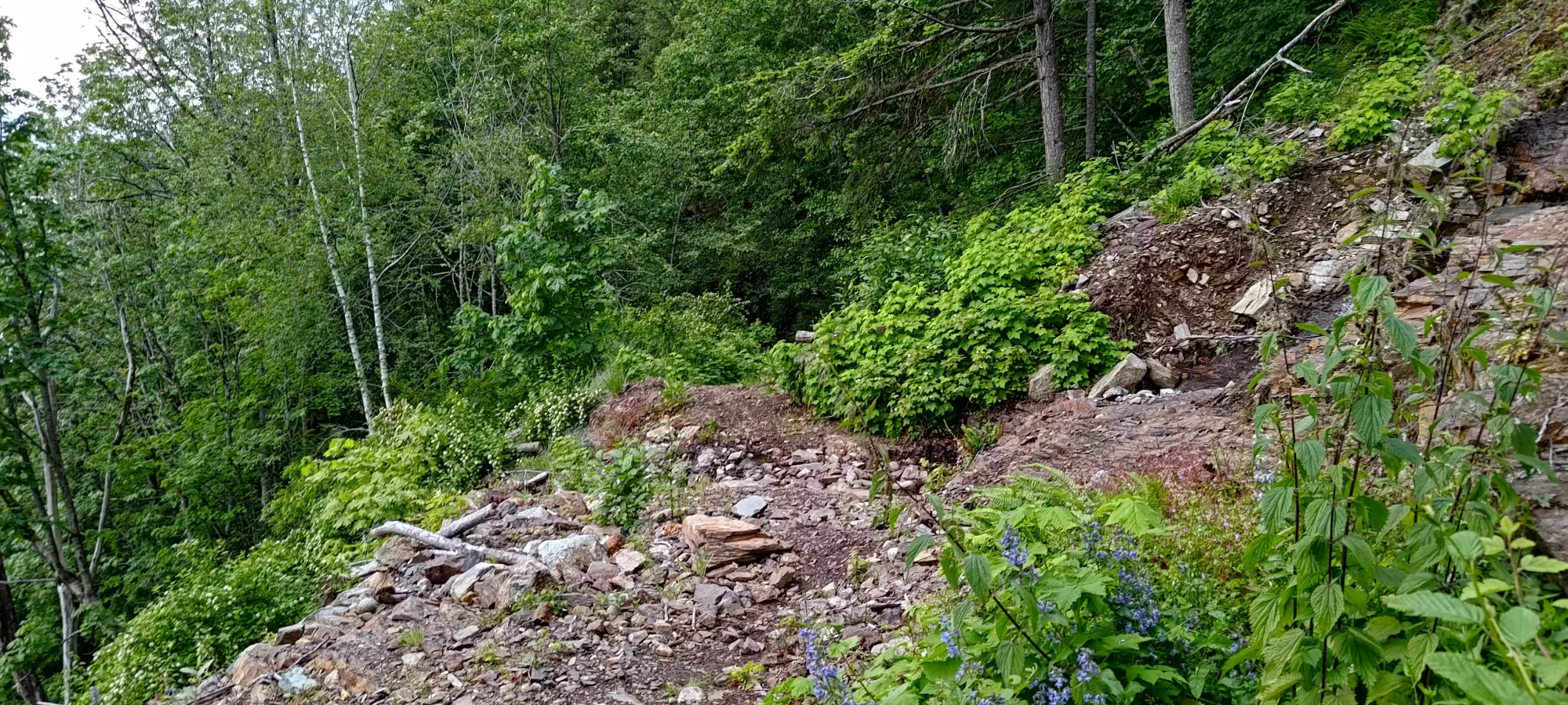
All in all, this kinda falls in a similar bucket to Mount Agassiz. I'd not really recommend it as a standalone hike for hikers, the views are okay en-route, but nothing on top (there's a lookout a bit past the summit, but we didn't bother with it given the clouds). But the trail is super long for the elevation past 900m, and it really just makes you think "I should have driven further or brought a bike". So I'd say you should come here if you're a peakbagger who likes prominent summits, and you have a good vehicle, or better, a bike. For us, "hey, at least we got 2 p600s in a day". That will have to suffice.
GPX Track + Map
