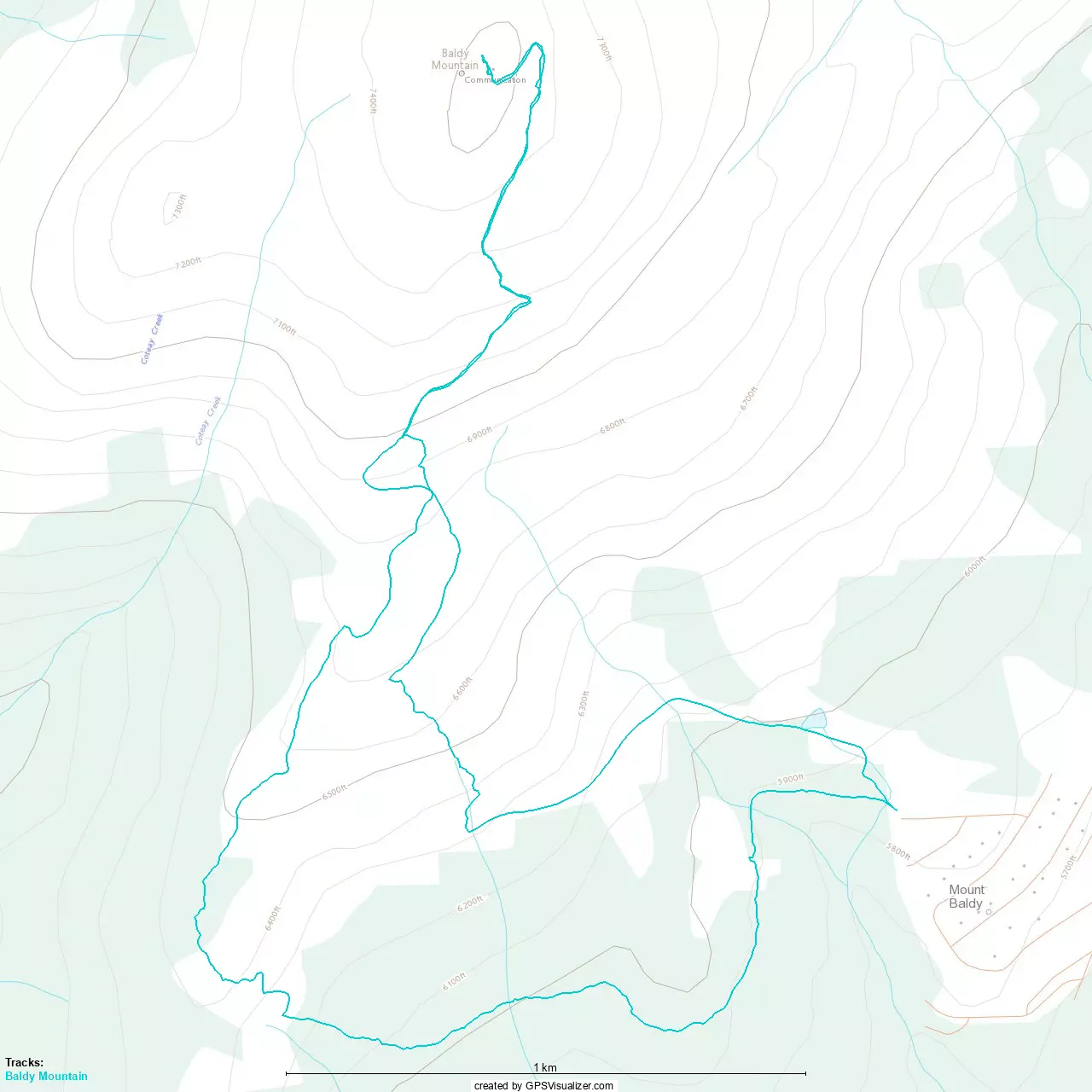
Baldy Mountain - November 10 2024
An easy ski tour up and down a ski resort to a prominent summit, with no avalanche terrain. Great for a day when the snow is there but the weather isn't giving you much else
North Okanagan Highland, Oliver, BC
2309m
Continuing my "escape the weather" trip on the weekend of Remembrance Day, I got up, had breakfast, and left my motel in Osoyoos at a relaxed pace. The first goal of the day was to bag Baldy Mountain, ideally on skis. Resort webcams and satellite showed mostly white terrain, so I was hoping there would be enough snow, even if my experience the previous day on Mount Bonaparte just to the south wasn't too inspiring.
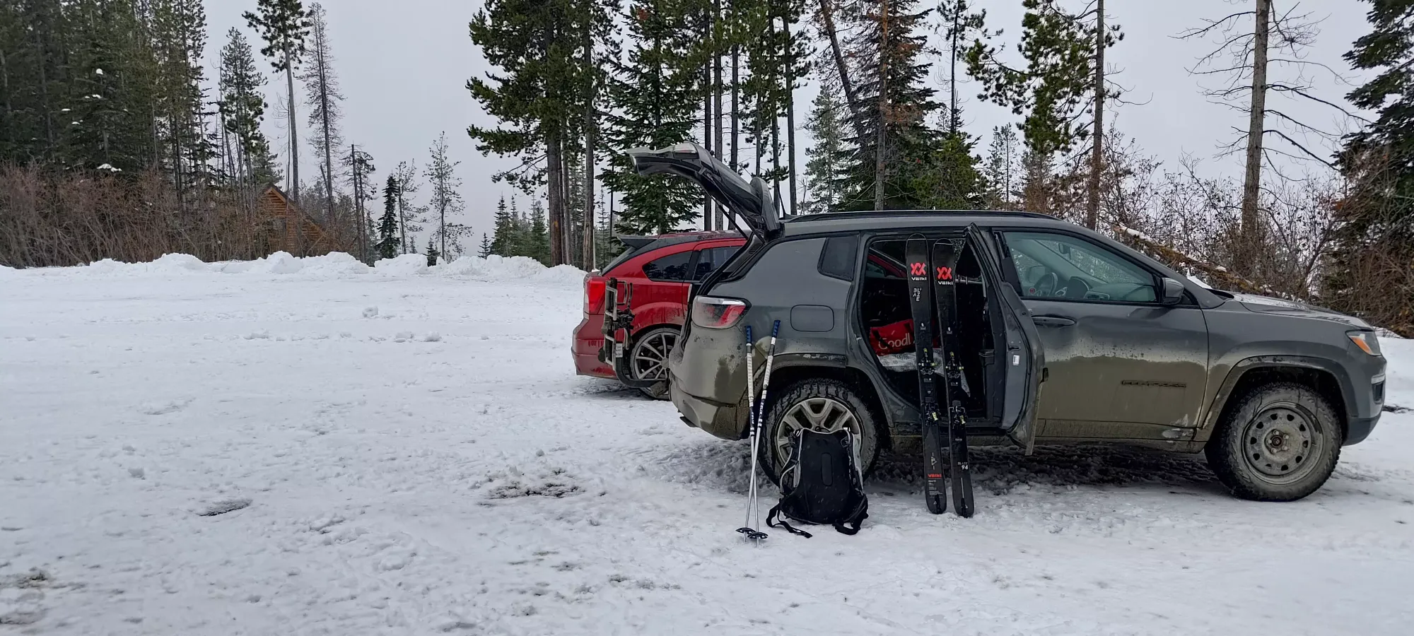
The drive up was fairly uneventful, though I will note that, at least when the resort isn't open (and maybe still then too), the road is somewhat plowed, but not totally free of snow, so proper tires are a must. Especially once I was getting to the "trailhead" (the highest road in the small town at the base of the resort), there were a few good centimetres of snow left to contend with on top of a packed snow base, so "be prepared accordingly" if coming here in snowy conditions. Since I was, though, I had no issue, and parked alongside another vehicle, whose driver apparently had similar intentions to me! It's always nice to see someone else is as crazy as you 😄
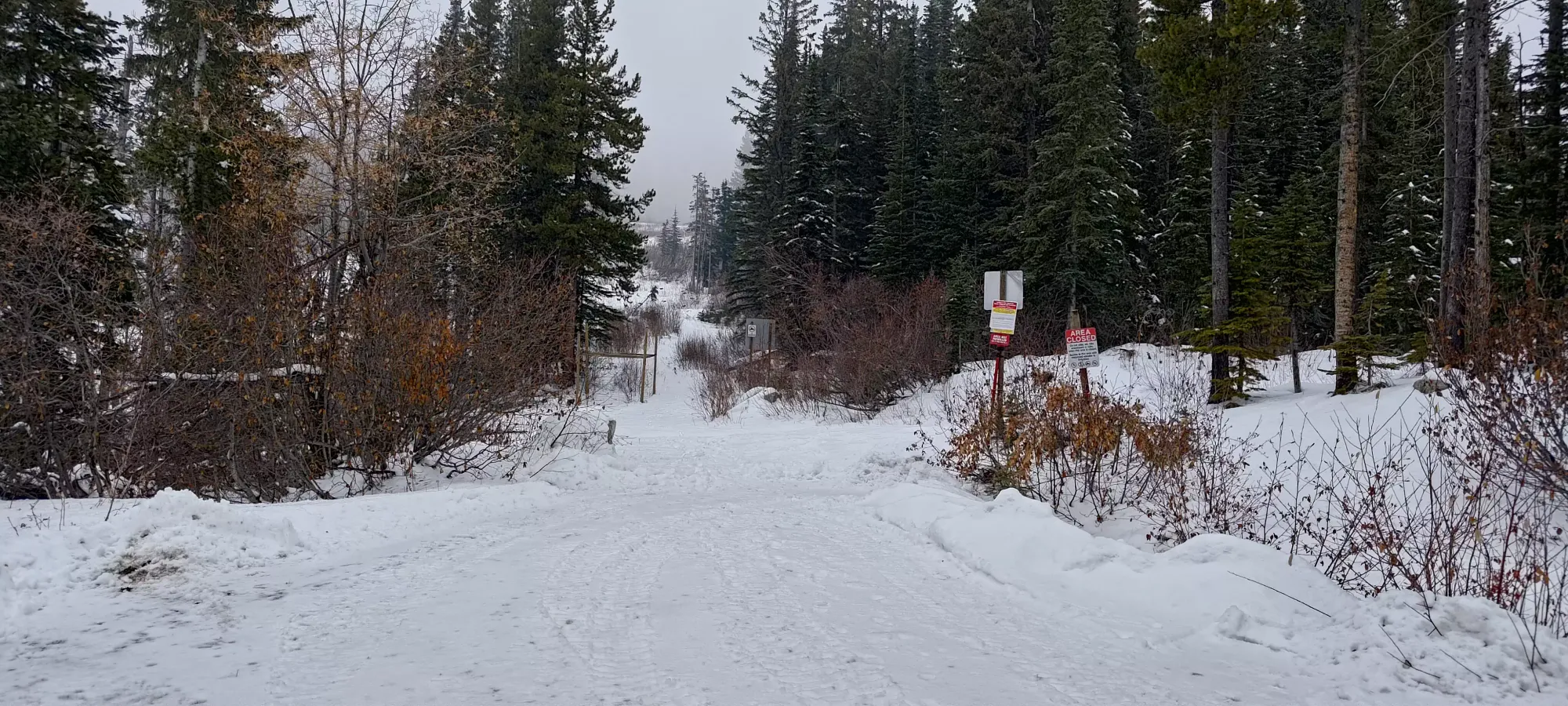
My trailhead friend got a small head start on me, so I spent the first few minutes of the day just playing catch-up. The snow was definitely thin, but it also seemed to have developed a pretty bulletproof crust, so skinning was actually quite easy, and skiing, if sporty, should be possible in open terrain. I followed the skin track along the Webster trail, which stays below the resort terrain a little bit. About 400m in, I found myself at a fork where I couldn't tell which way my friend had gone, and I started up a shortcut, but soon changed my mind as track looked pretty snowshoe-y, and I figured just following the skin track would likely result in easier terrain, since he was a local, and knew the mountain better. Plus the Webster trail did lead towards the "Baldy Babe's Trail", which goes towards the summit, so it wasn't going to get me lost.
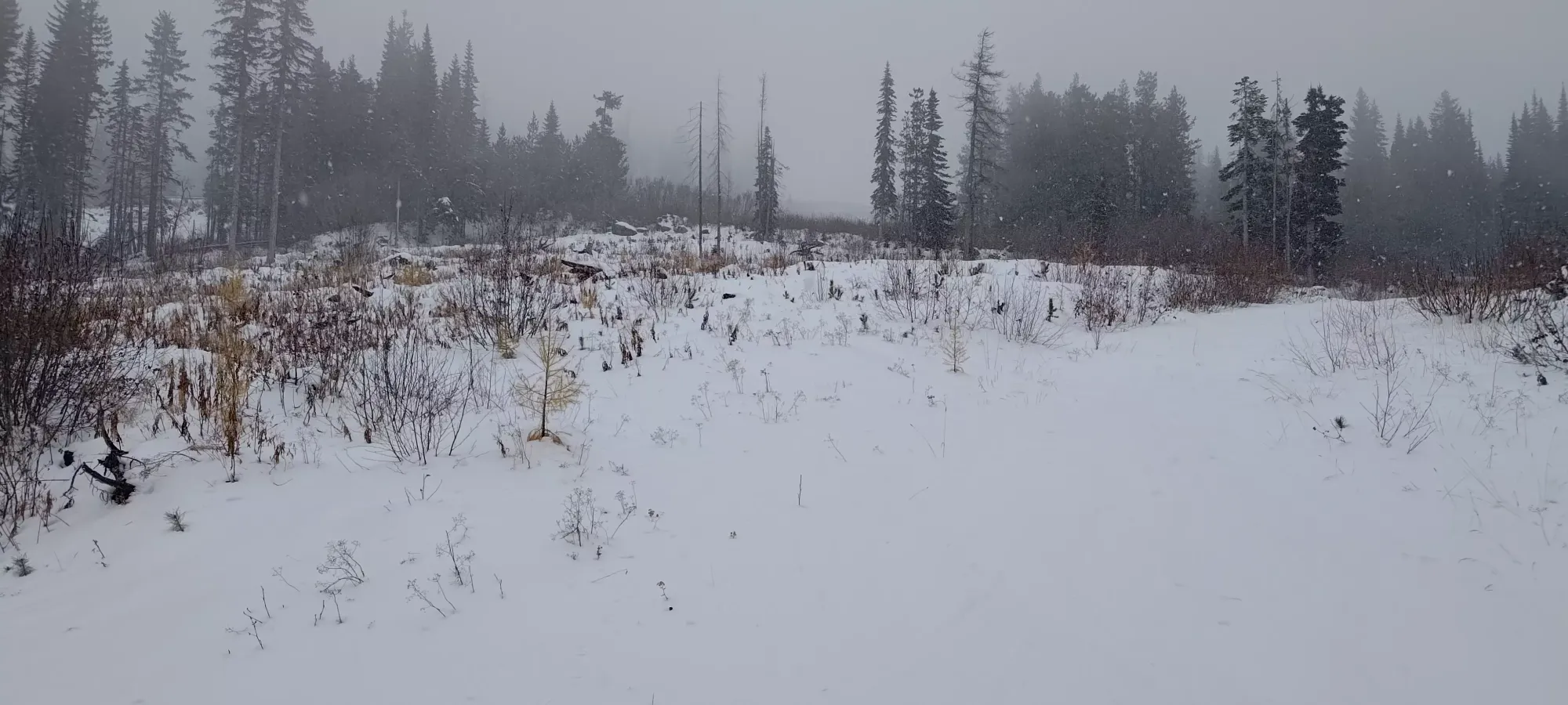
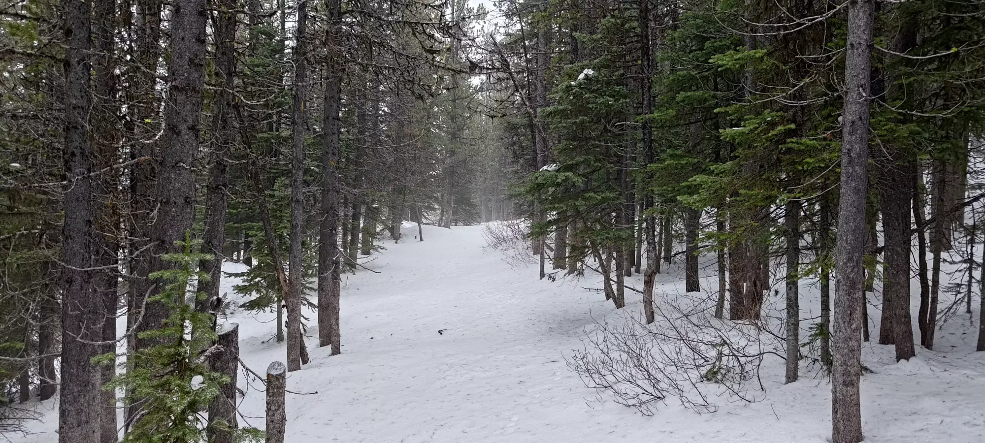
Soon after making that decision to stay on-trail, the terrain went from fully open to a fairly sparse forest that looked like it would make for great skiing with another storm or two 😅. Sadly, with the coverage this early, it was more of an obstacle course where you can't see the obstacles, but hey, worst case you could lean back, go slow, and probably get out unscathed.
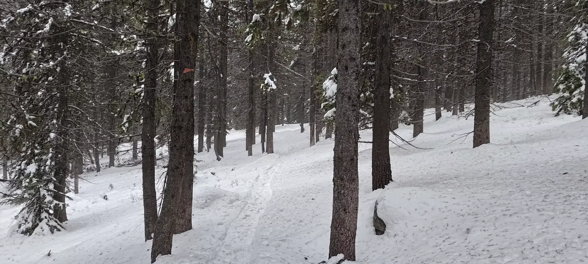
After I'd travelled for about a kilometre, or for ~15 minutes, I found my friend, who'd taken a different route at some point, and was just joining the Webster Trail from the Tree Trail. We chatted for a few minutes, but I then started off alone in the front, since I had visions of bagging a second peak and driving home after this trip, and didn't want to spend too much time chilling out. The trail continued on easy skinning terrain until a fork with a snowshoe trail to Dimma's Meadow. The skin track definitely stayed on the gentler Webster trail, but it was so mellow that I wasn't enthused to ski down it, so I figured checking out the open meadow above would be of greater value. I confirmed on my maps that there was open terrain from there to the road that leads to the Baldy summit, rejoining at around 2000m, so I clicked my risers on and started gaining a bit more elevation.
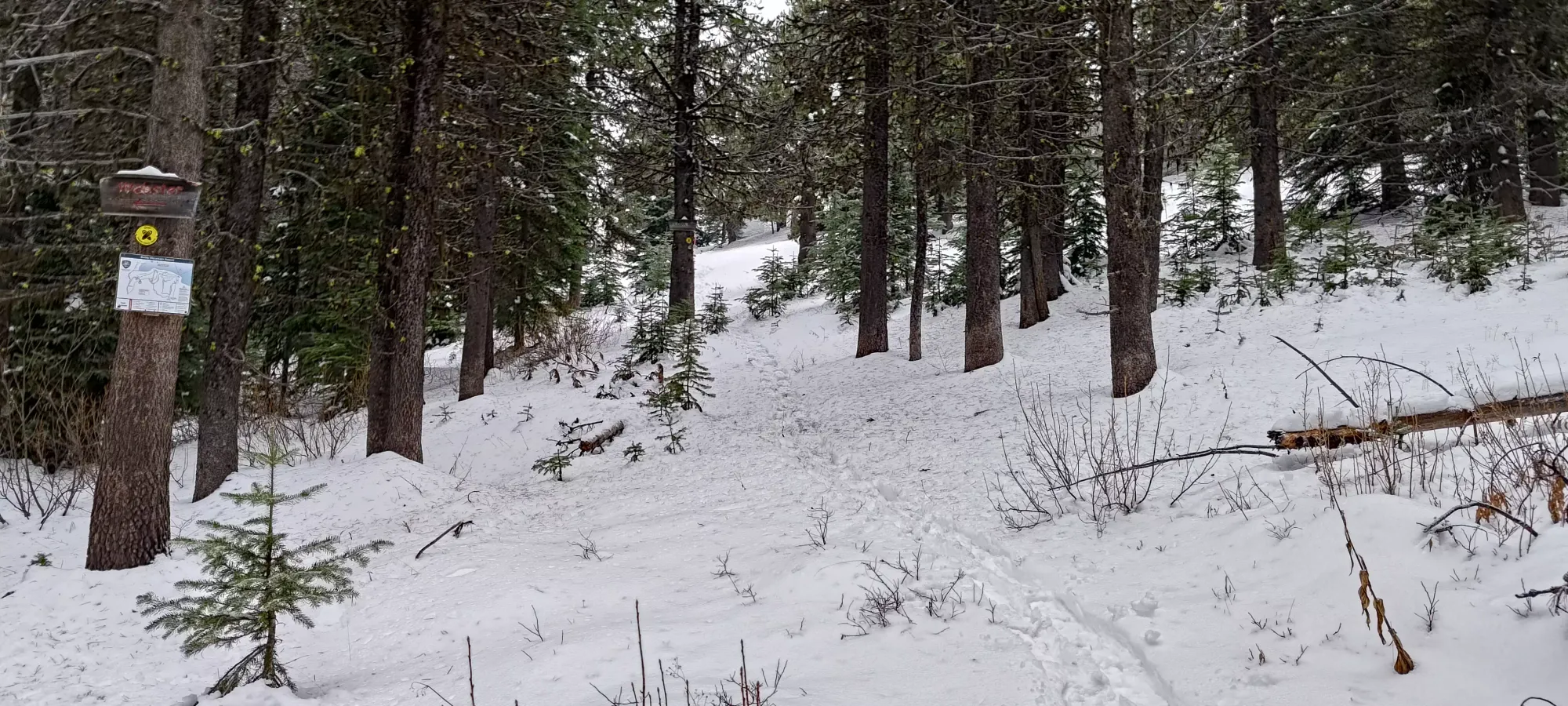
After a few much more heart-pounding minutes of work, I followed the tracks to their end at the "Stripper Pole" (according to the Baldy Resort's maps), where the snowshoer who'd made them seemingly decided to turn around. I had no such intentions, and instead decided to follow the open terrain I saw on my satellite maps leading up to the ridge where I could regain the road. I thought this was actually ski terrain given the openness and slope angle, but surprisingly this is just random terrain that happens to make for good skiing, but isn't part of the resort 🤷. Good to know if you're touring while they're open and don't want to shell out for a pass, I guess.

The next 20 minutes were spent grinding up the ~100m of open terrain to hit the road again. There's not much to say about this section, other than "it would be a great ski on the way down", and that there was a short bushwhack to get onto the road, which is slightly on the north side of the ridge, but nothing serious. At about 11:20, I broke out onto the very-obvious road, and a couple minutes after I started skinning on it, it merged with the "more official uphill route" which goes more to the west.
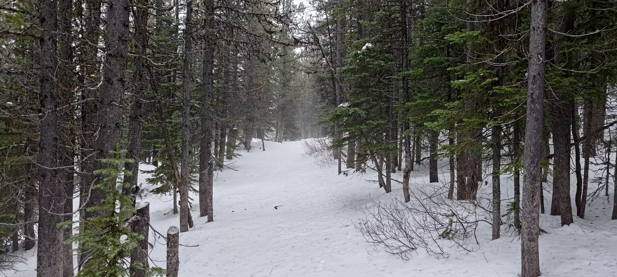
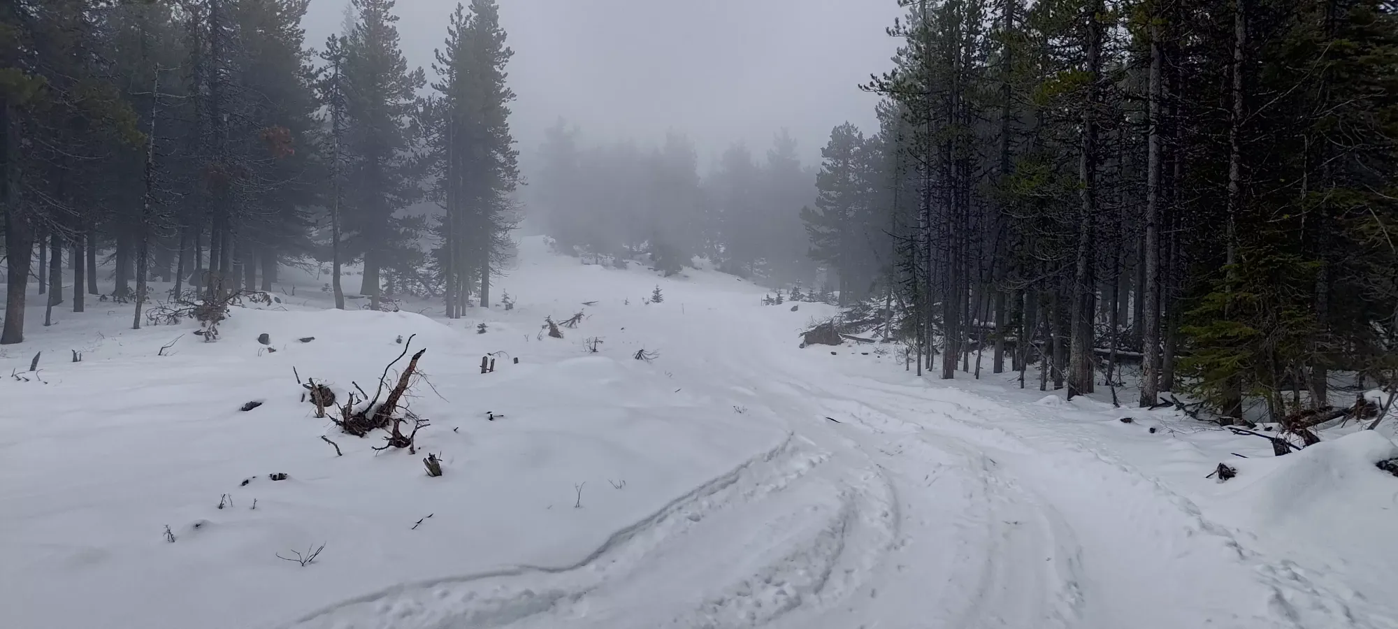
From there, I was just following the road up to the top, nice and easy. At first, there were clear old tire tracks from some adventurous offroaders, but those faded by ~2150m elevation. Despite the untouched snow, the crust kept me from having to expend much effort to break trail. On the plus side, it made that thin snow (under a foot in many places) skiable, so I consider that a win.
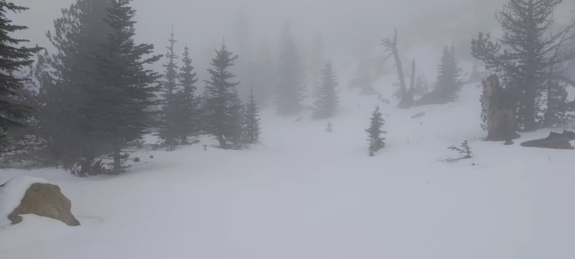
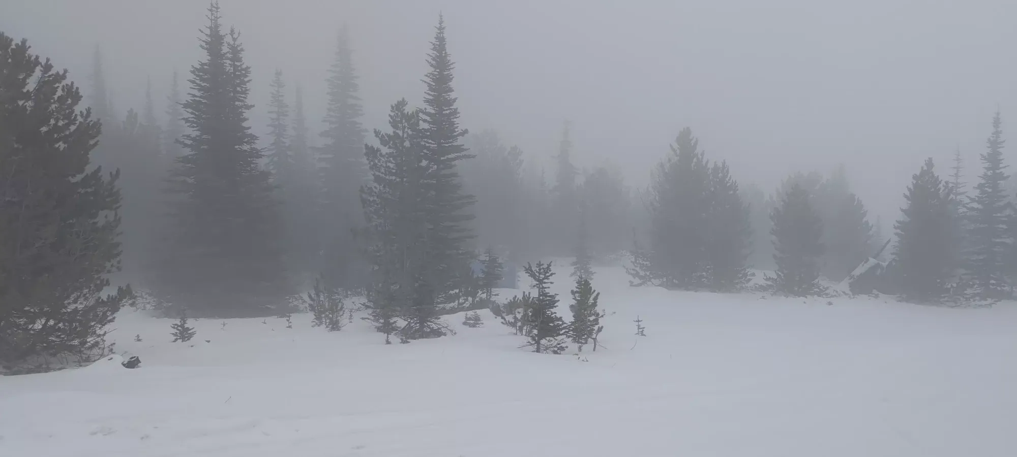
After about 40 minutes of walking on the road, I found myself getting pretty close to the top, and actually saw some slightly steeper terrain to the side, with a lot of exposed rocks. Unfortunately, probably a few too many to be able to shortcut the road and ski fall line, but I knew that going into things 🤷
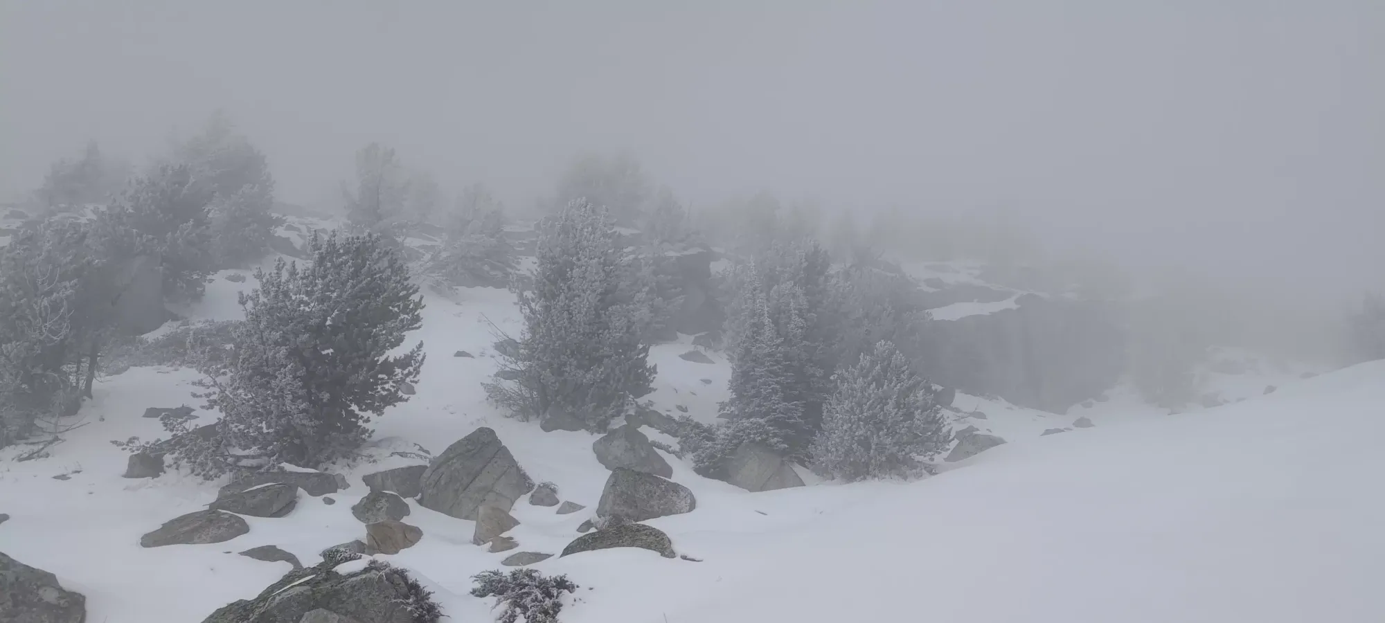
After the road switched back to the south at 2275m, I noticed that it went back to the south side of the peak, then switched back again to the north. That seemed quite tedious, so I decided to just walk up the short section of boulders from there to the summit, skipping the final curve on the road for brevity's sake. That brought me to the summit at just after 12:15pm. Of course, it was pretty dang cloudy with absolutely no views, but hey, it was better than the total downpour going on back home on the coast, so I was happy enough to just have enough vis to ski down safely.
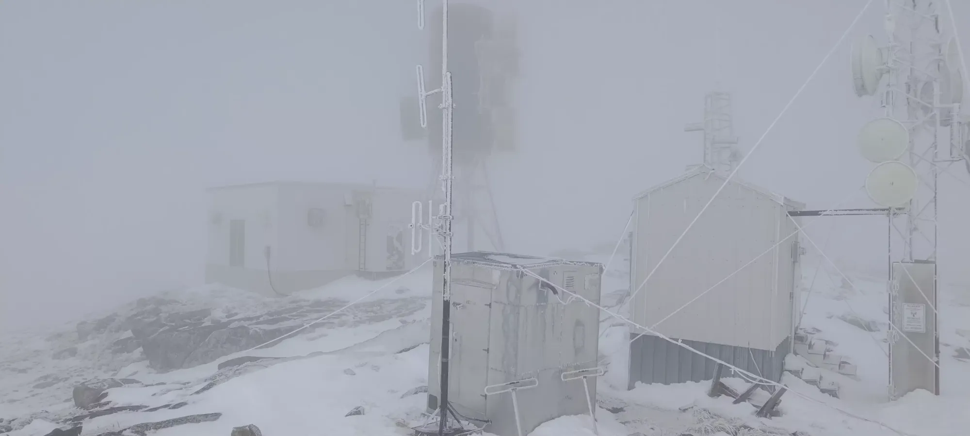
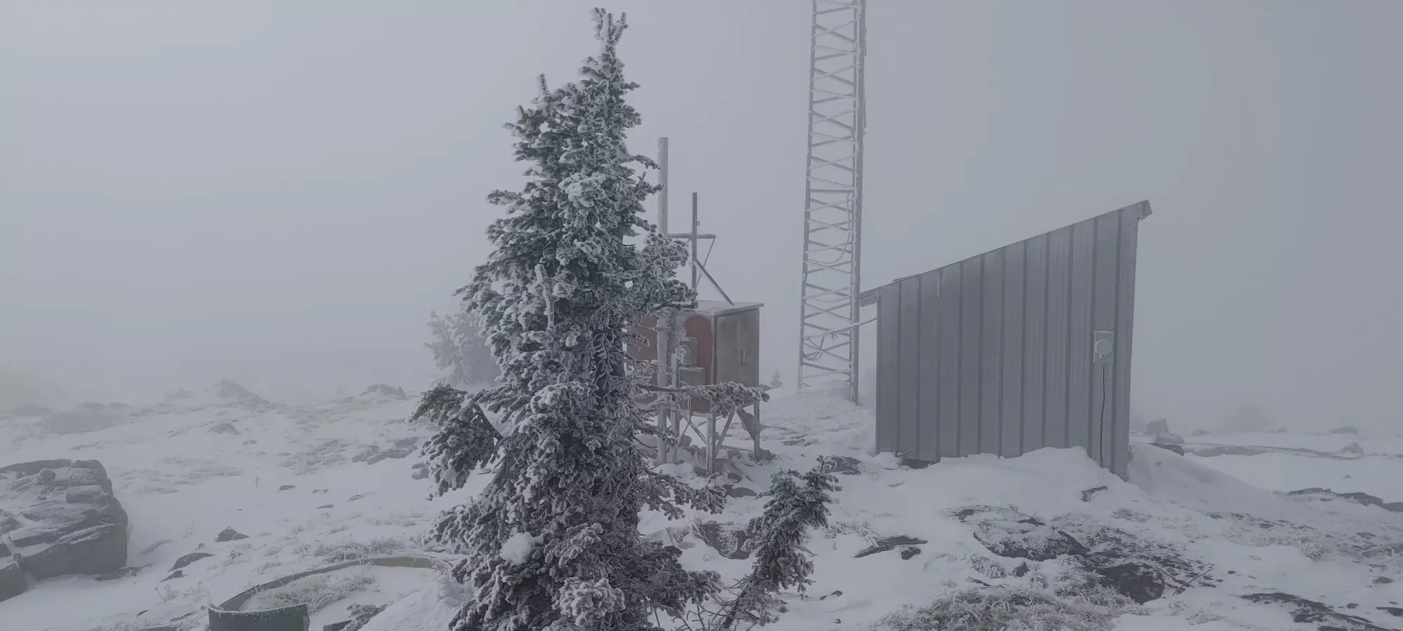
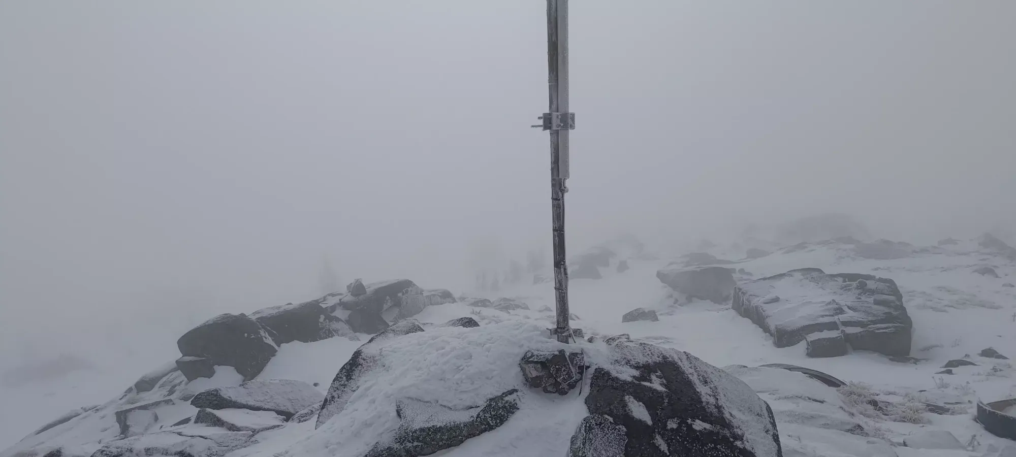
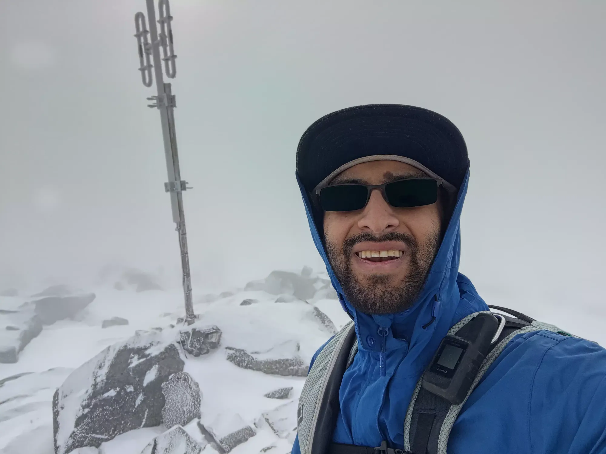
I popped my skis off just beside the highest-looking rock and took a few pictures. Once I did, I noticed a possible alternative highest rock slightly more north, so I walked over there too just to be safe 😆. Once I did, I grabbed my skis and headed behind one of the buildings to rip my skins whilst protected from the wind, since it was fairly bracing at the top.
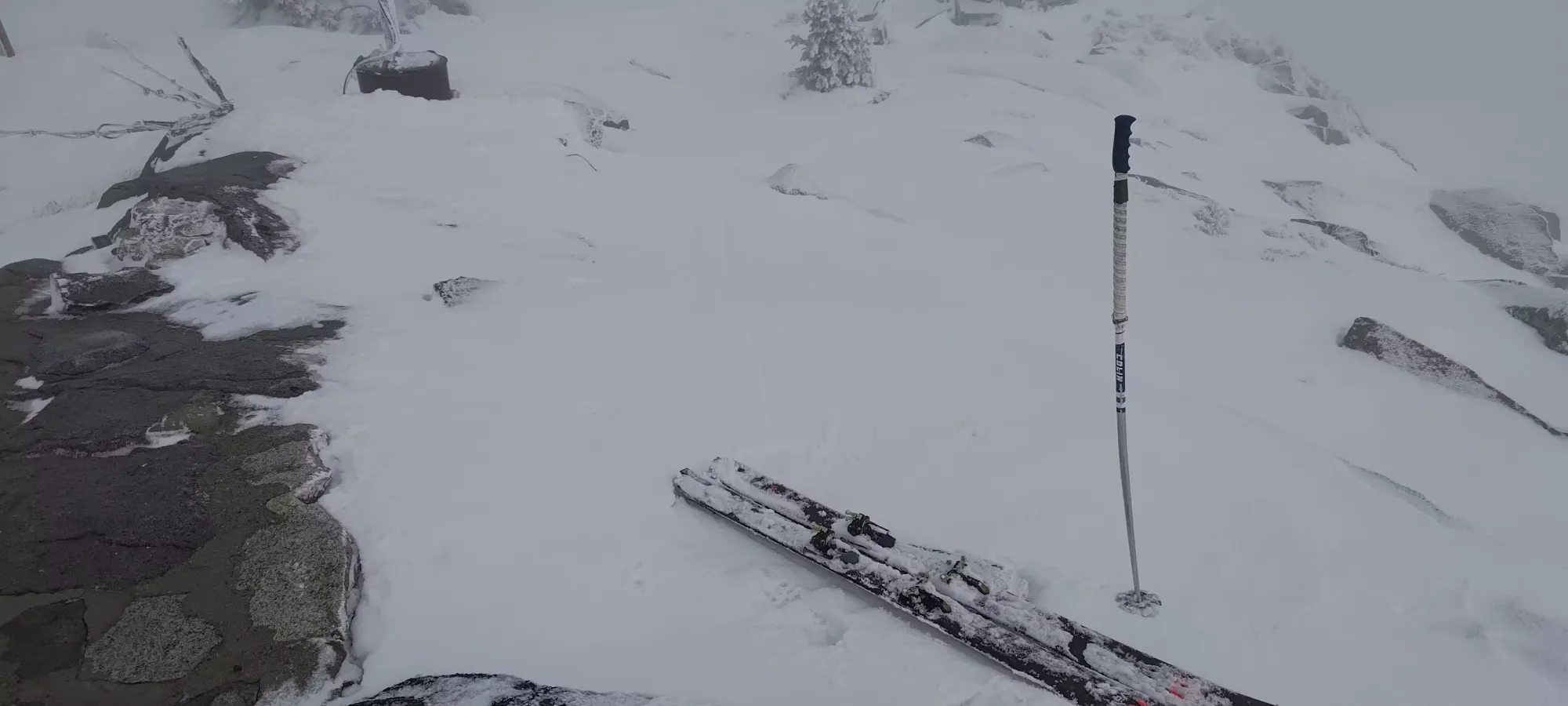
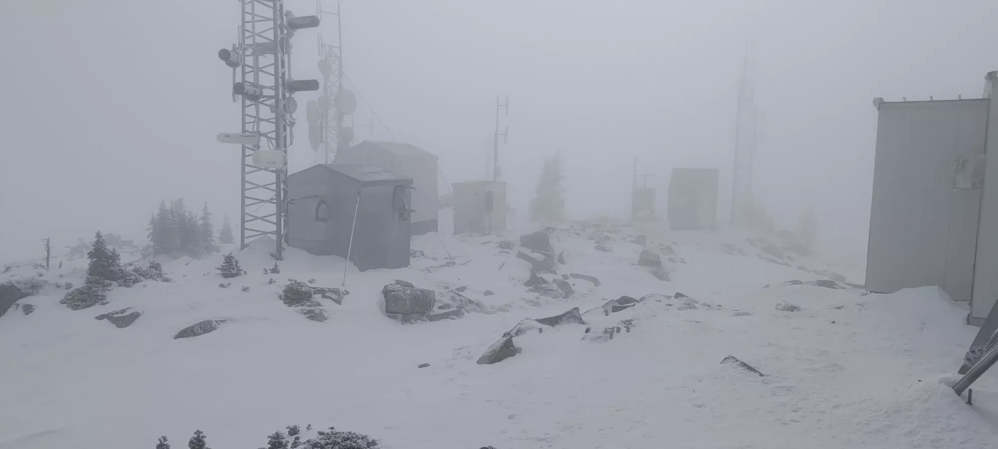
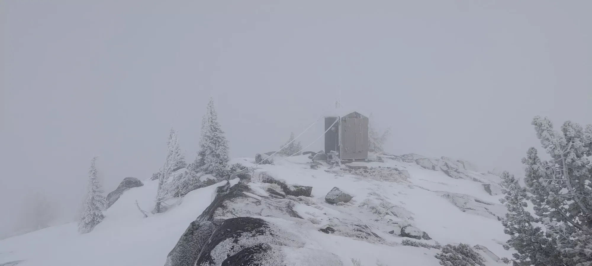
I spent about 13 minutes at the top before I started skiing down. The crust was indeed quite impenetrable, and it felt like skiing back on the ice coast 😅. On the plus side, it was actually decently fast, and I got to enjoy some stress-free skiing down to 2100m. There, I encountered my friend who was skinning up to the top. We chatted for a bit, and after my report of a snowpack that didn't improve and higher winds, he decided to just call it and start skiing down from where we were. I was happy to wait a few minutes and have a buddy to head down with, so I took an impromptu break while he packed up, and after about 17 minutes, we started making our way down.
The first ~30m of our descent were a bit spicy with the low snowpack, as we tried to shortcut the road to get onto the resort faster, which worked, even if it didn't actually provide better skiing. Once we got onto the Baldy Trail (basically a cat track ski run), we followed it for a few minutes until we found some blue runs that shortcut the big switchback in the trail. They looked snowy enough, so we skied down about 110m of "real skiing terrain" until we caught back up with the trail. The top half was actually pretty great, with enough open, snow-covered terrain to be fun. The bottom half started to get a bit more difficult with more obstacles and stickier snow, but was still manageable. Once we got around 1900m, we got back onto the cat track (not that it was actually tracked by a snowcat at the time), and took that all the way to the final turnoff for the parking area. By then (down at 1800m), things were very sticky, and you could basically only turn by very slow leaning, hop-turning, or falling 😅. Without the extra break while my splitboarding friend transitioned, though, it was barely even 20 minutes from top to bottom, and that included routefinding through some marginally covered terrain, so with a proper amount of snow, this could be a very quick day.
Overall, I'd say this was a pretty great day. Skiing car to car in early November is definitely a win. Getting a p1000 peak in the process is even better, and who can be mad at making a new friend at the same time 🙂. With that, I headed back to town for some lunch before setting out for my next objective, Mount Kobau.
GPX Track + Map
