April Mountain - February 29 2024
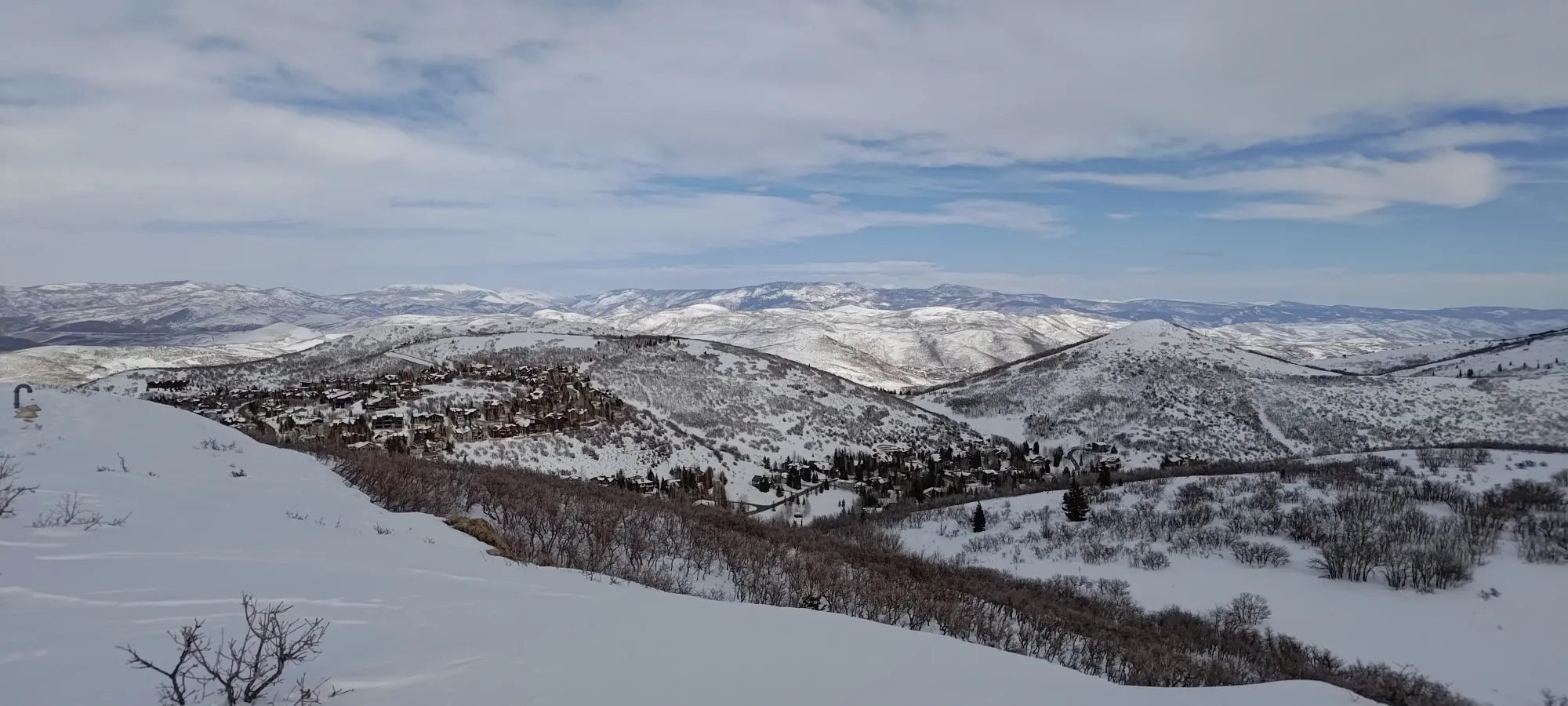
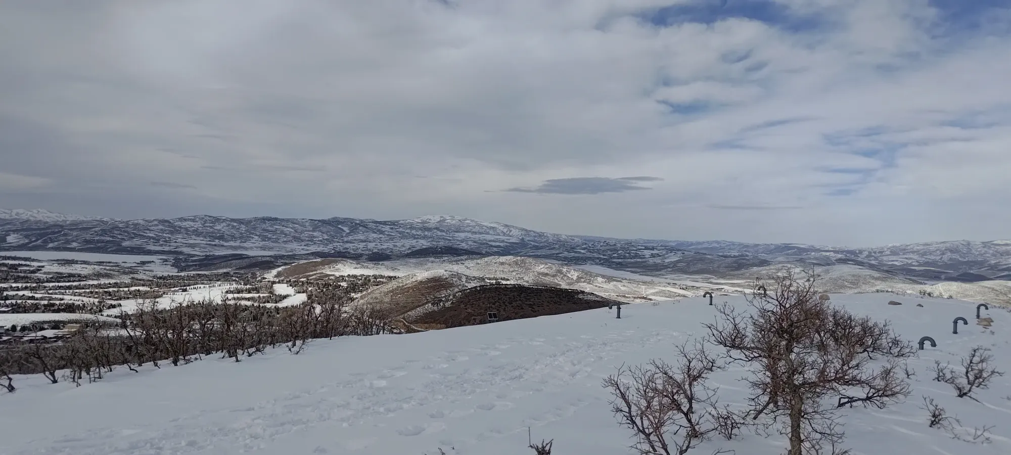
A small p100 peak above Park City, Utah. A nice easy walk with decent views for the effort invested. Parking is iffy, though.


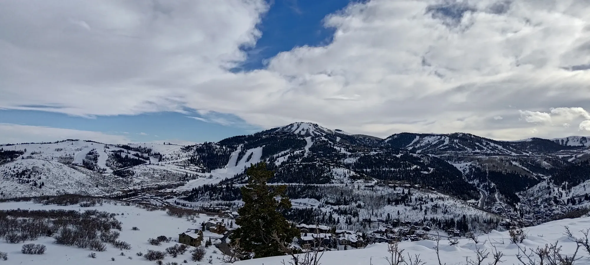
Central Wasatch Range, Park City, Utah
2338m
Thursday was supposed to be a rest day after a few consecutive days of skiing (and one small peak), but with it being the leap-day 29th of February, I couldn't resist the chance to get a peak ticked off on this unique day of the year, since peakbagger displays that on one's profile, and it seems kinda fun to try and fill up. So, I found myself a little peak I could get up without much time or effort invested, dropped Nick off after a quick test-ski on his touring skis he was having issues with, and drove up to the end of the April Mountain Road to start my hike.
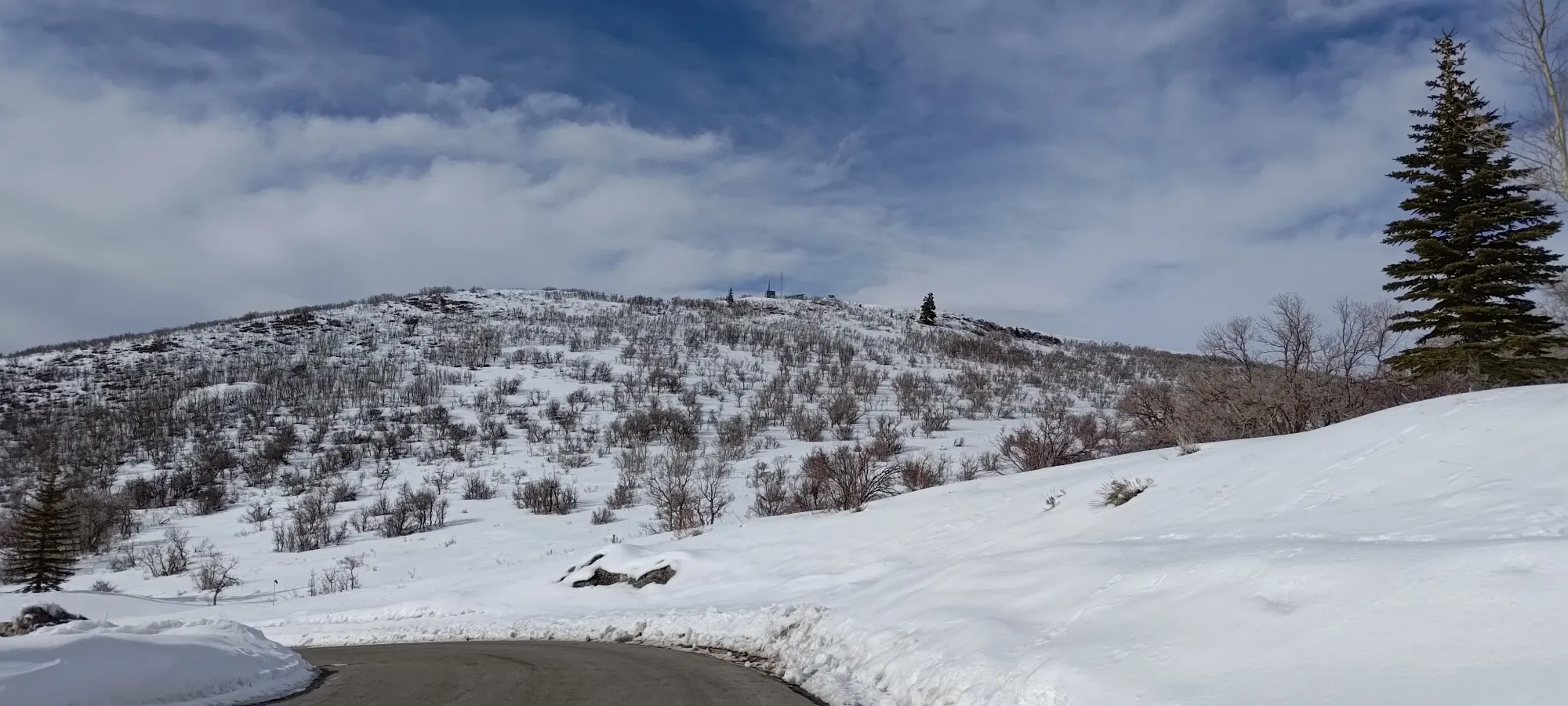
The trail looked like it had tracks, so I just went up in my loafers, figuring it was short, simple, and shallow, and that they'd be fine (my other options were wet trail runners or heavy ski boots). Once I got there, I noticed that the snow was wet and soft, and that the tracks weren't actually that strong, and I was going to probably be getting a bit wet. I also noticed the snowpack was deep enough I could've skied it if I brought my skins, but sadly those were at home. So loafers it was.
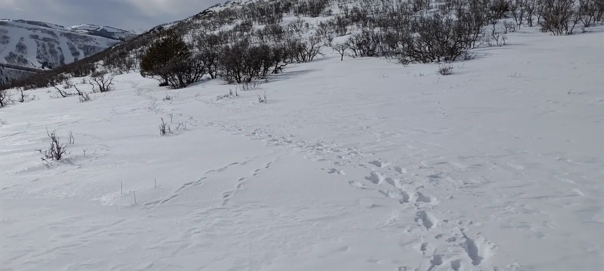
Five minutes got me to the fork where most people had gone back down towards other, more popular trails. I, of course, had to go on the least popular one, that went up to the summit. With only one set of bootprints to follow, I definitely wasn't totally dry, and couldn't totally avoid sinking below my ankles, but it wasn't terrible, and I could still make decently fast progress.
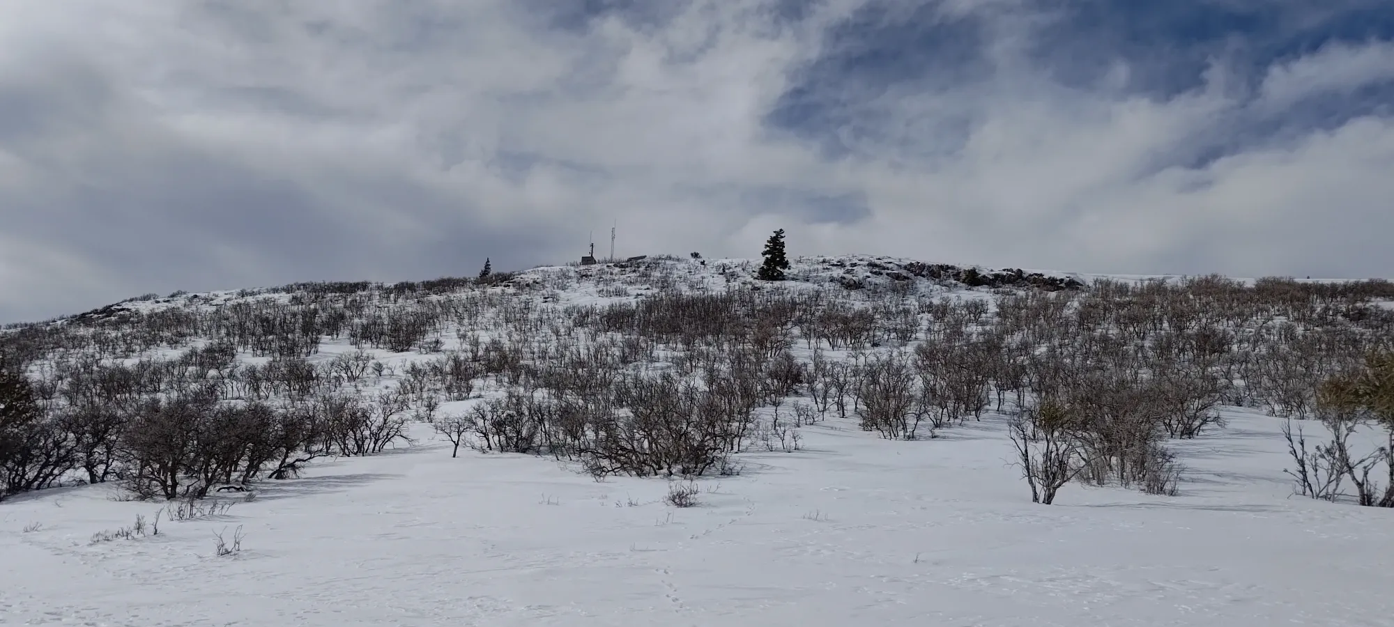
Eight minutes of following tracks, which converged and re-diverged seemingly at random, and I found myself up on the summit ridge. Here, the wind went from nothing to rather unpleasant, so I was glad I brought my "emergency shell" I keep in the car. With that zipped up, it was just a couple more minutes of semi-postholing to the top!
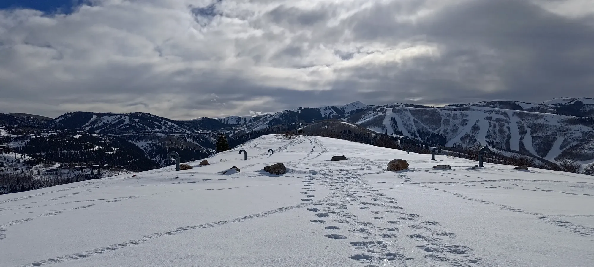
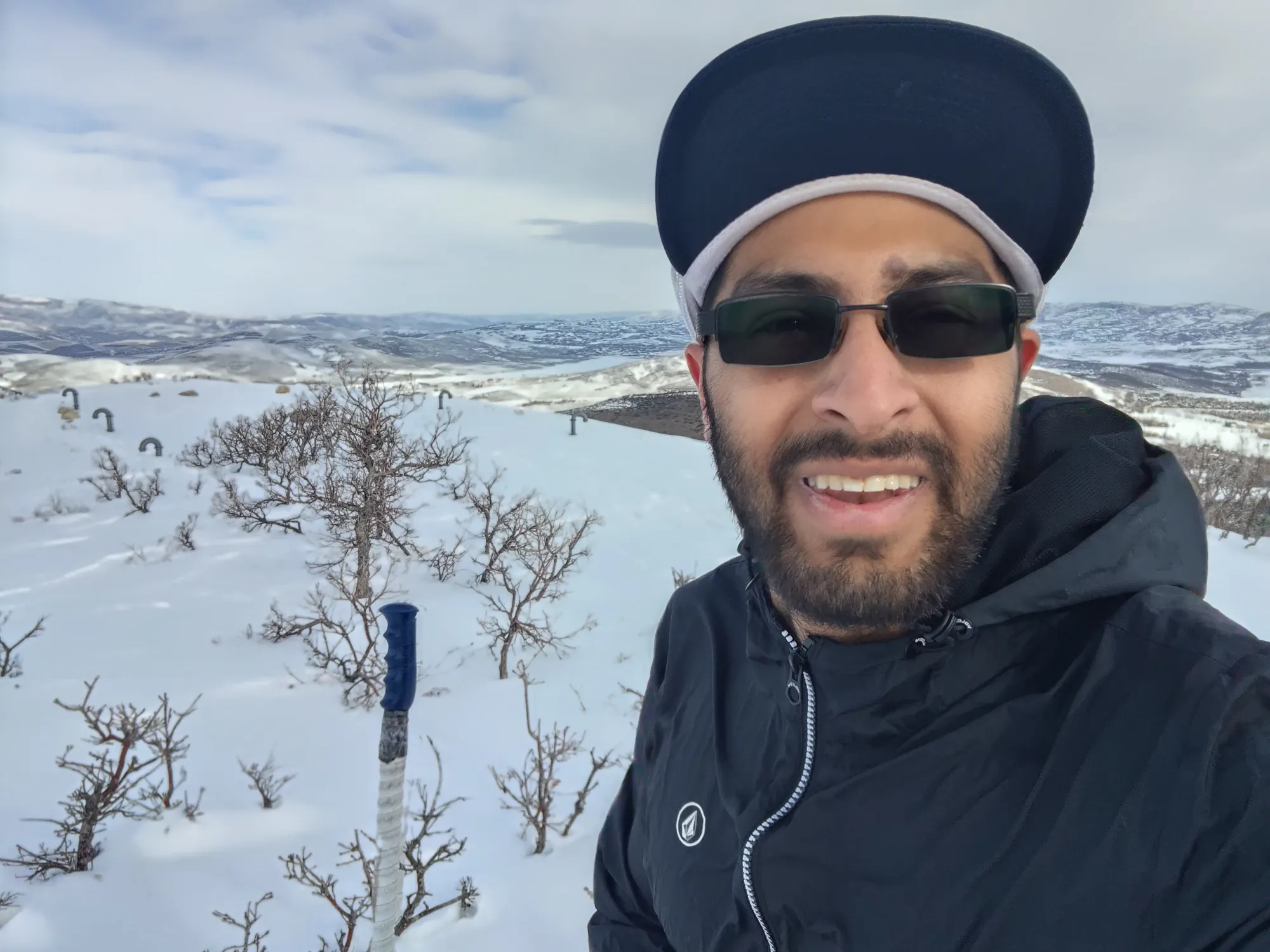
I took a couple photos on the top, exchanged a few words with a snowshoer coming up, then headed down promptly, since it was getting pretty late and I still hadn't eaten lunch!
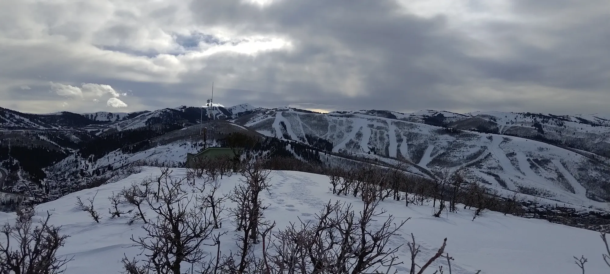
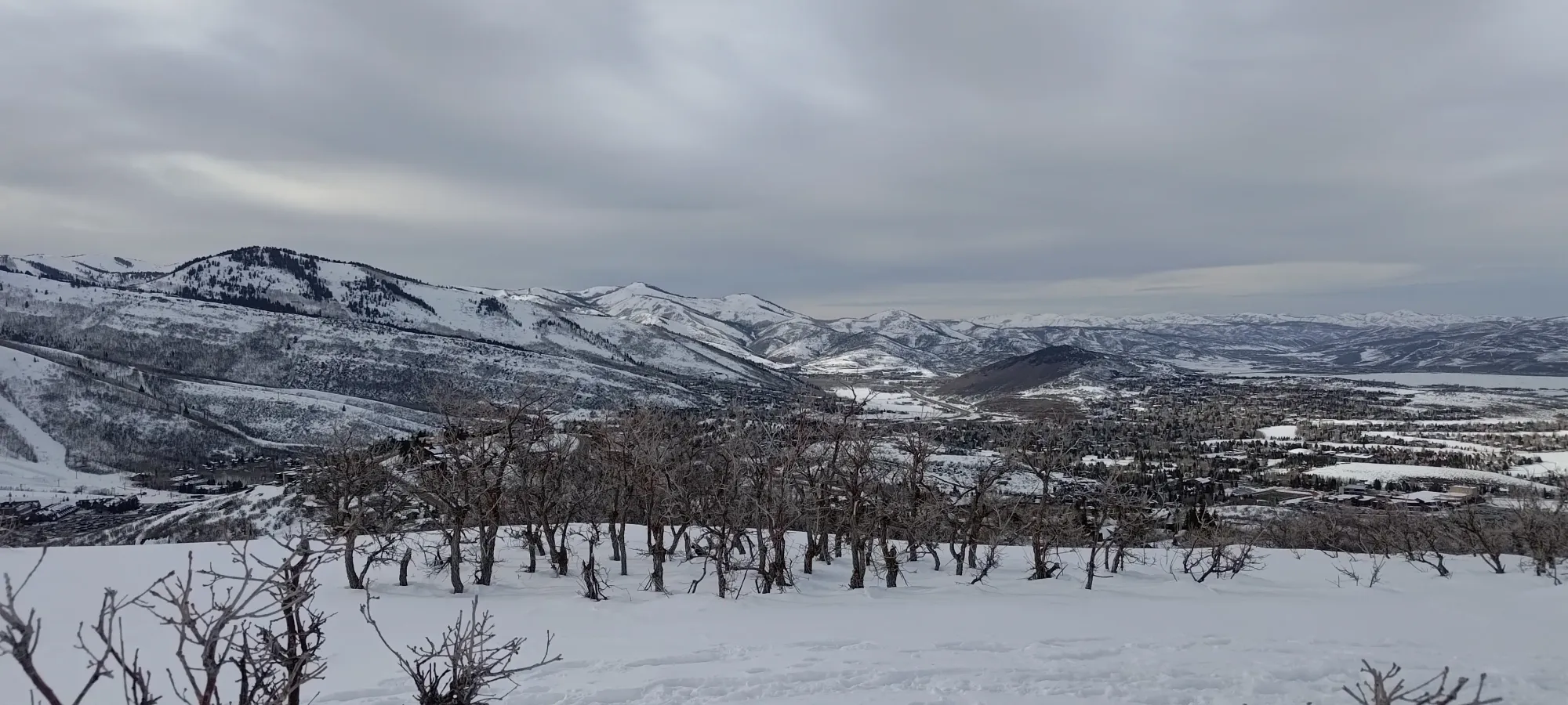
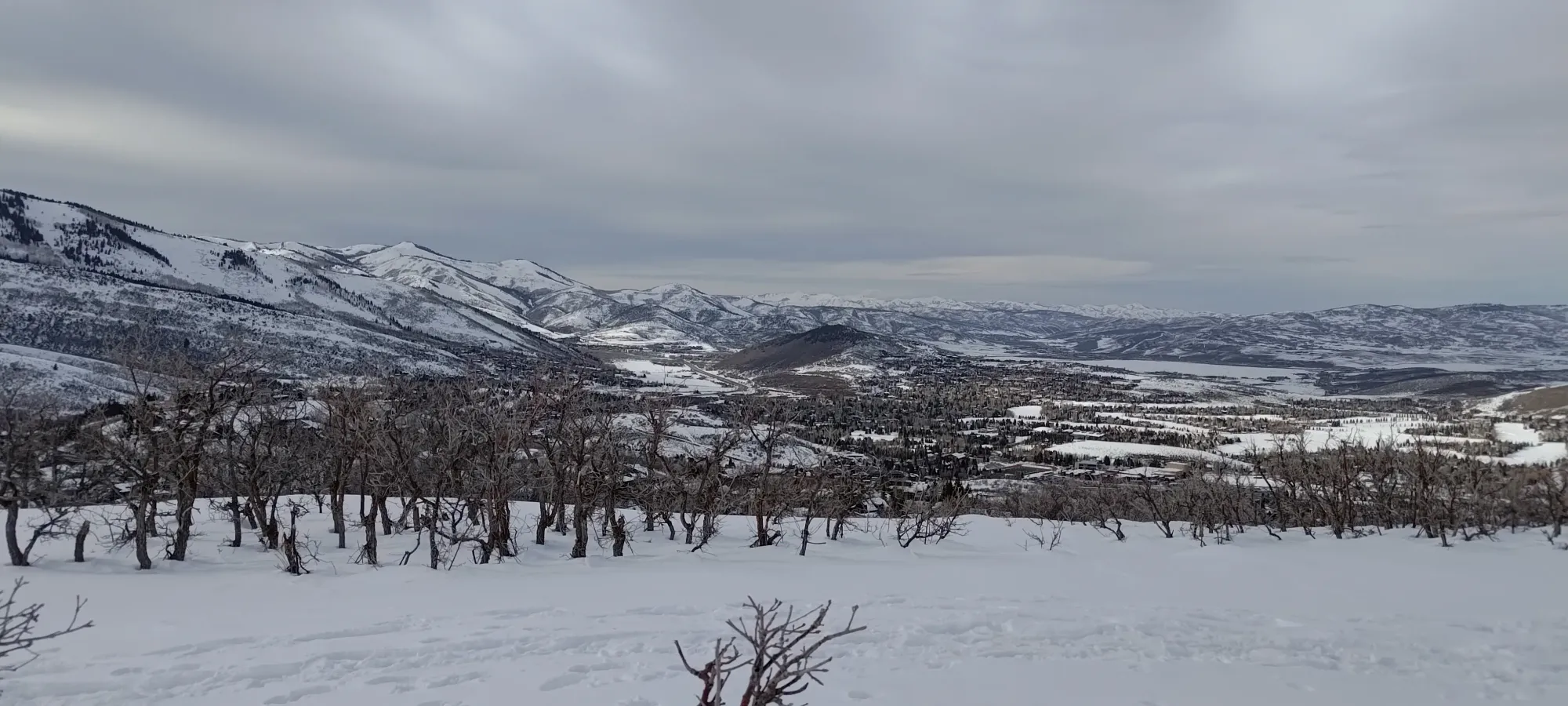
The way down was not very exciting, just 10 minutes of walking down and trying not to make any new postholes in the snow. I got down to the car without issue (or parking ticket!), and enjoyed the afternoon resort traffic back to our VRBO, with a stop for a 4pm lunch on the way. Not a particularly impressive summit, but hey, it's a p100, and it got me a peak for the 29th of February, so I'll take it!
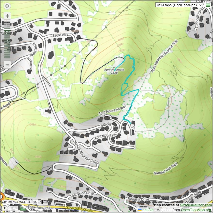
GPX Track + Map