Apodaca Peak - August 10 2024
A bushwhacky peak on Bowen Island with 0 views. Only those completing the Bagger Challenge, or otherwise infected with the peakbagging bug should bother with this miserable summit

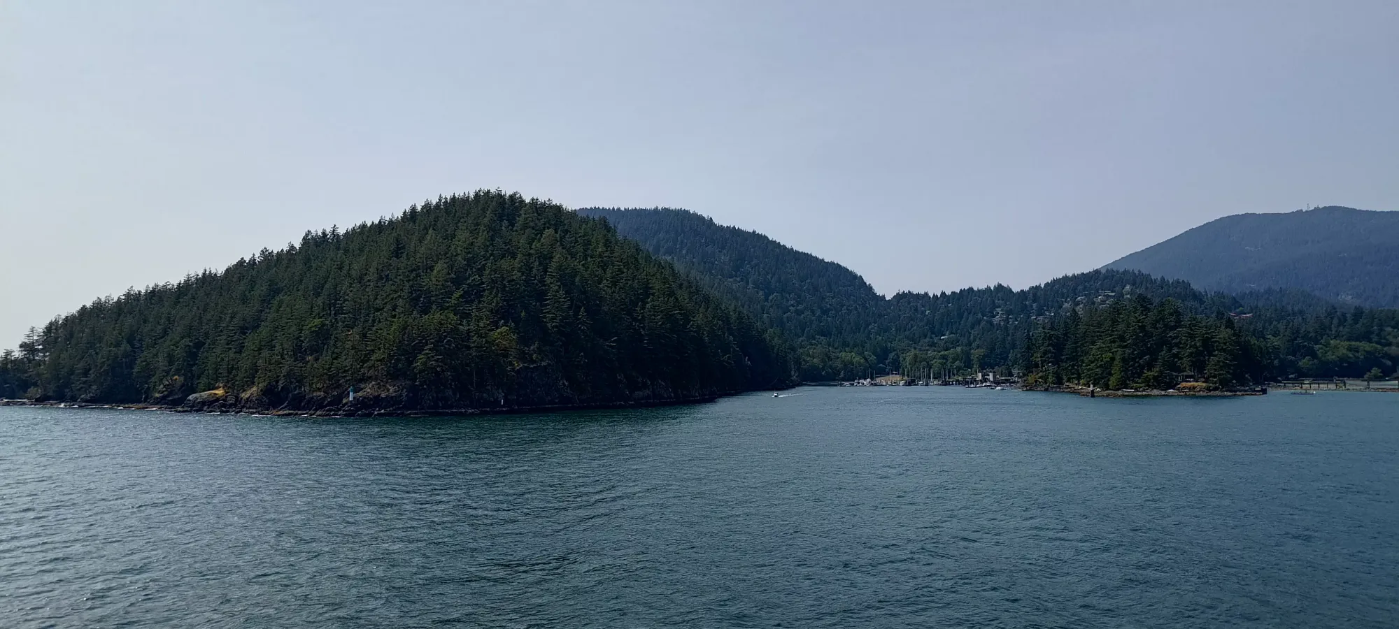
Georgia Strait Islands, Bowen Island, BC
488m
After bagging the high point of Bowen Island, Mount Gardner, earlier in the day, and following that up with a drive up to Radar Hill, it was time for peak #3 of the day, Apodaca Peak. This returned me to "real peaks" which weren't just driving up to a peak under 100m of prominence, but sadly this also meant the only trail-less bushwhack on the island 🙁
Oh well, at least it wasn't too long, being only around 300m of elevation gain, and after that, all that I had left were Conical Hill and Mount Collins, the two peaks much closer to the ferry terminal (I was trying to get peaks in order of furthest to closest, so if I ran out of time, I could just walk from the terminal instead of taking a car or bike across). Or at least, that's what I thought.
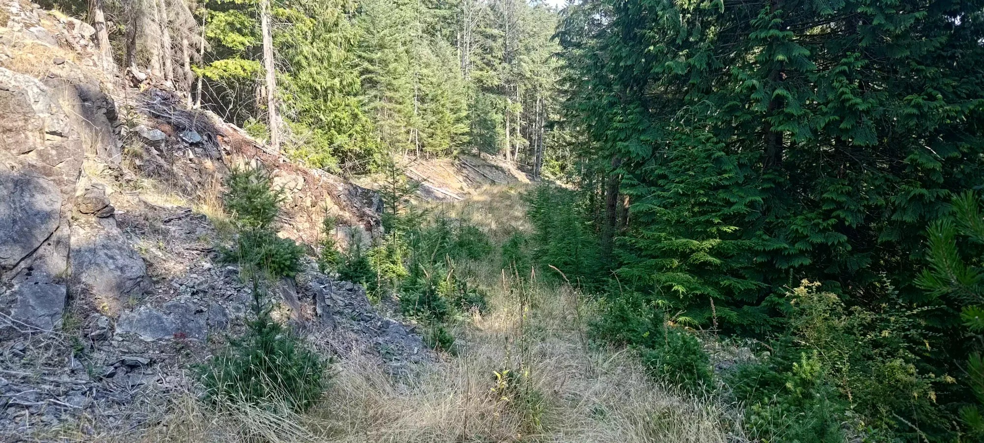
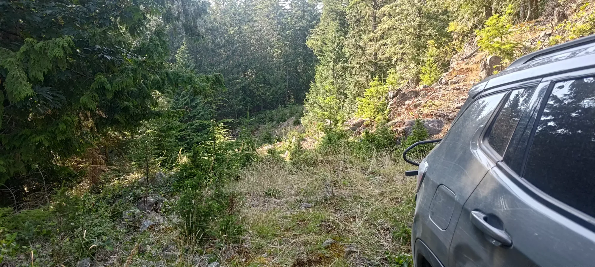
Things started out driving up an old road from Cowan Point Drive. While tame at first, the grass/weeds quickly got quite tall, and some small trees were starting to grow in the centre of the road as well. The smart thing to do was probably to park at the switchback below 200m, but I decided to see how far I could make it, and instead kept going. I got most of the way to the 210m switchback, before high-centring a little bit getting onto a plateau 😅 I stopped there, as after that, the road dipped down and into a large washout, which I wouldn't be easily able to navigate, if at all. I'd say real 4x4s could maybe get further (only short wheelbases need apply), but really, this isn't the crux of the day, so you should just drive as far as is comfortable, even if that means "only just off the main road".
After gearing up, I got moving at quarter after 4, right in seemingly the hottest part of the day 😅 Following the road was easy enough until I rounded the first corner, but then the trail kinda just disappeared from eyesight, and you had to just trust that heading in the right direction would result in your feet being in the old tire tracks and free of things in the way 😅
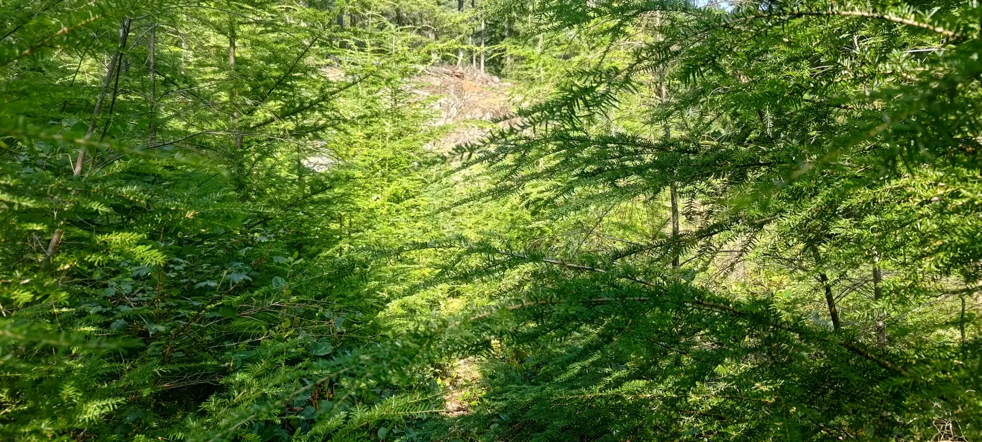
I continued east, ignoring what looked like a nice clearing to the north as I was heading west, and following an established-looking trail that wound around one more switchback (you can kinda see the old road marked on terrain maps, or even in satellite photos), then itself cut north, away from the path of the old road.
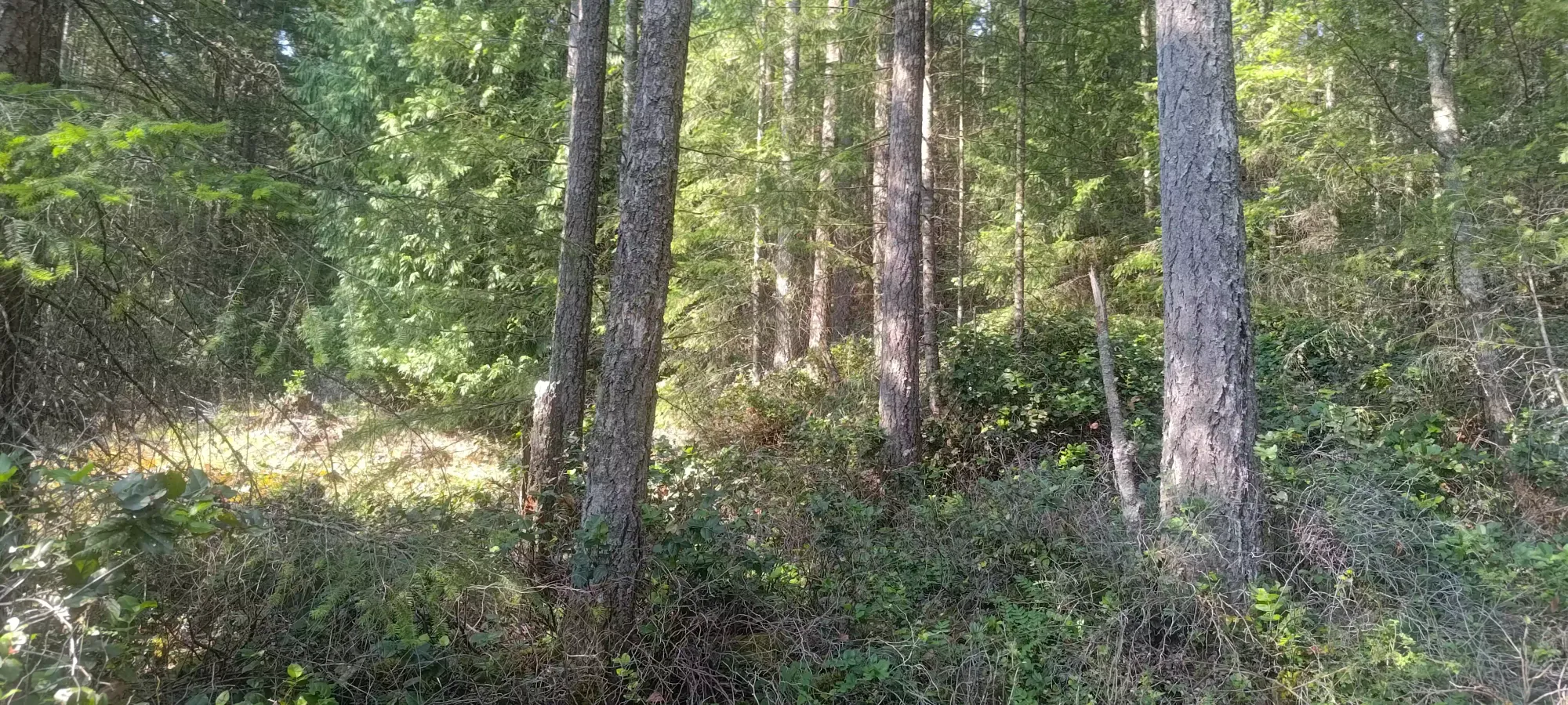
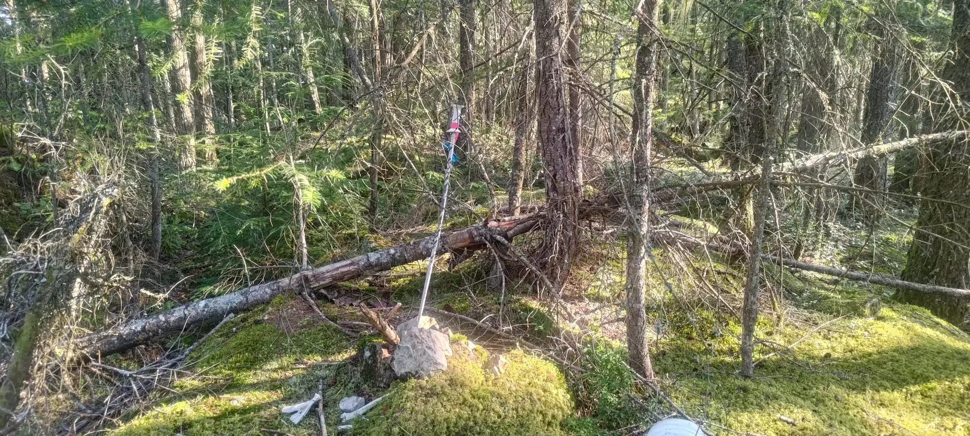
This ended up being a mistake, as the going wasn't as smooth as following the road's path, which I did on the way out. For now, though, I was bolstered by a single yellow flag I found after the first minute or so of bushwhacking, though that was the only one I'd see the entire day. I dealt with the medium-difficulty bushwhacking through lots of younger plants/smaller trees until I rejoined the road at its end, near 270m or so. Sadly, I didn't get to enjoy that easier travel for more than a few steps, as it ended quite quickly, and I had to dip back into the forest.
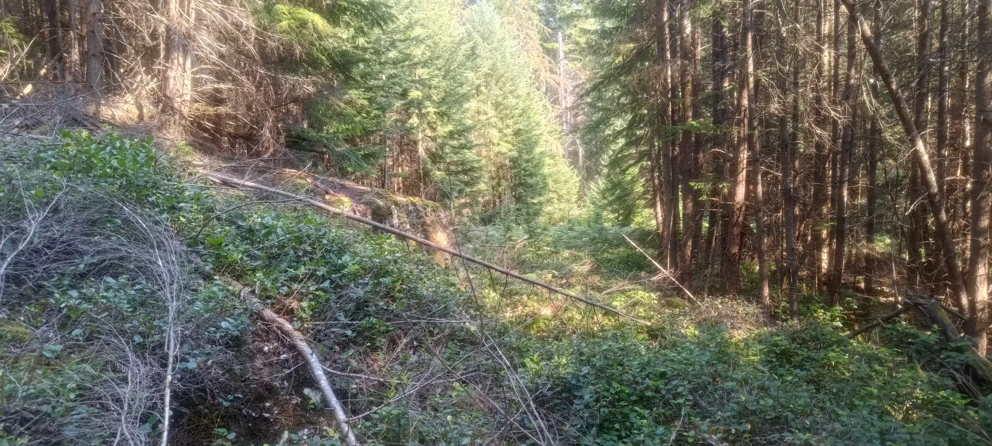
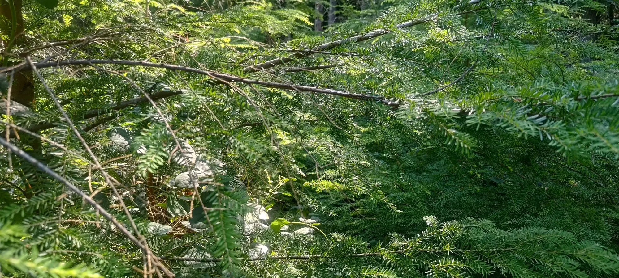
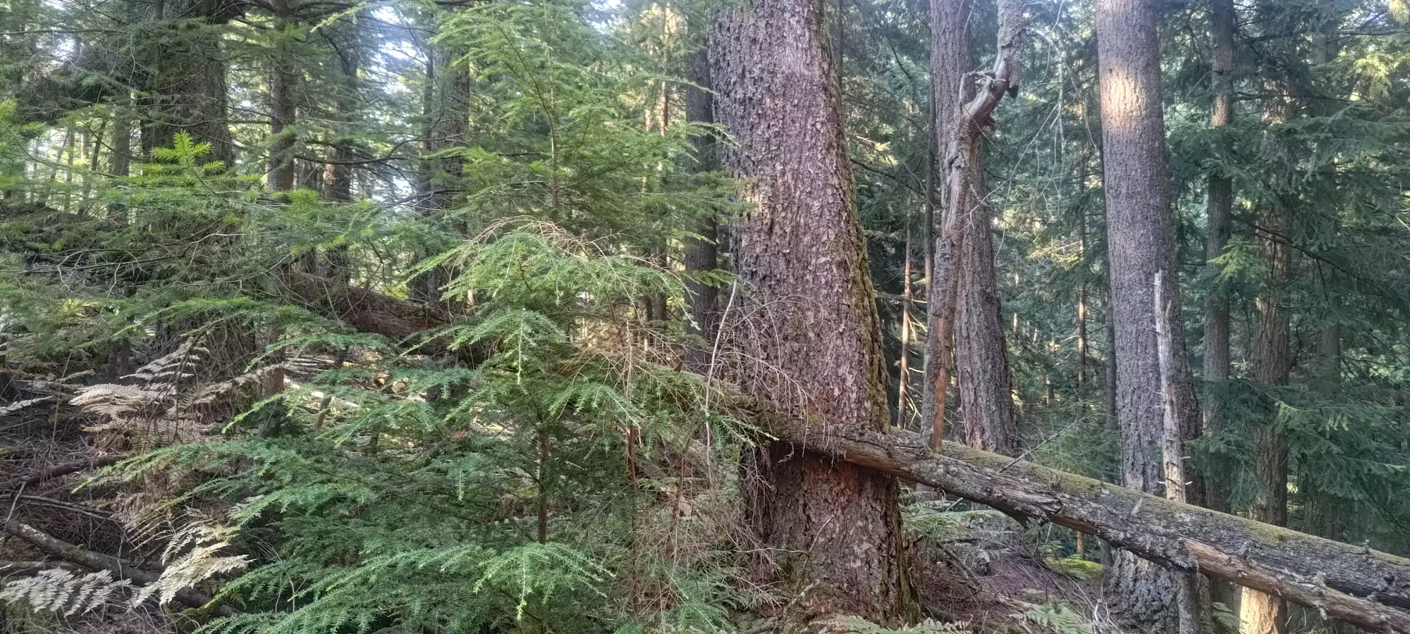
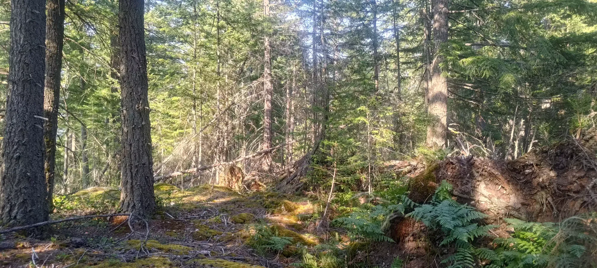
For the next half hour or so, I bushwhacked up the forest, more or less just keeping a steady bearing towards the summit. Sometimes, it was just walking on a fairly open forest floor, but more often than not it was a miserable hell of deadfall, sticks, and bushes all designed+placed for maximum tripping. It doesn't visually look bad, as you don't have to part trees with your arms or anything, but EVERYTHING is placed JUST PERFECTLY to trip you and make the walking as tedious as possible 🙃
It was, at least, still walking, without needing to stop and untangle yourself from high branches or break them, so progress was tiring in the heat (I was feeling it way more than usually), but steady. I made it to about 430m in that time, gaining about 150m, which isn't bad for a bushwhack, I'd say.
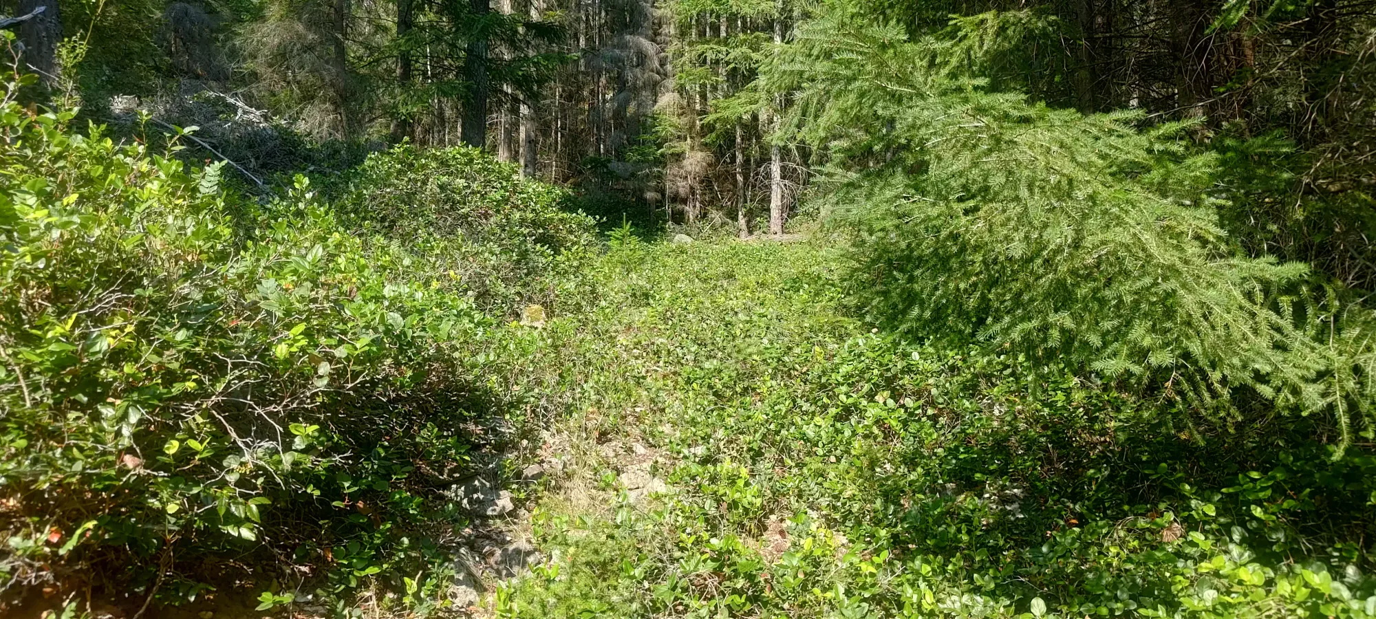
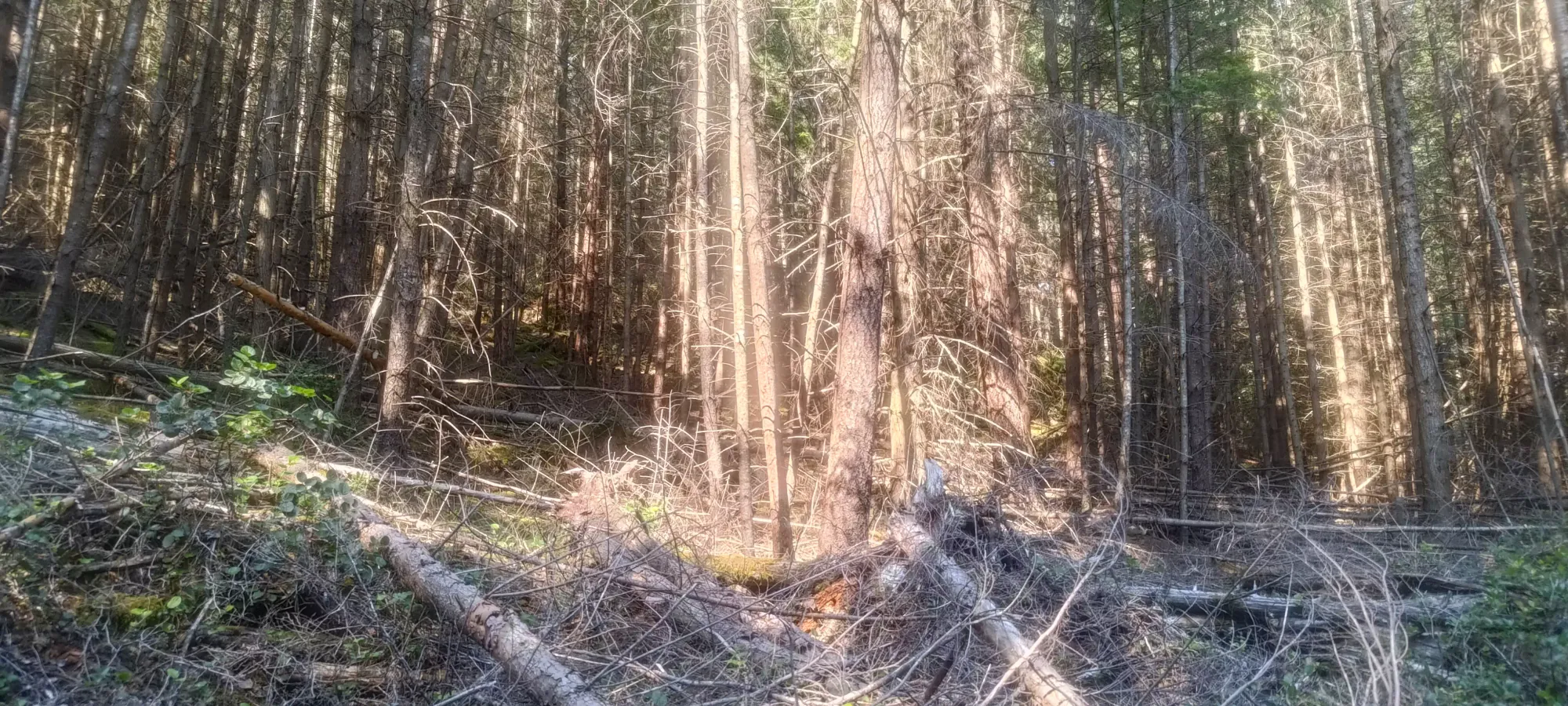
One thing I will note is that the contour maps have no detail about the undulations, but there are a few on the way up, and even more so in the final 30m of gain or so, so be prepared for that. Regardless, I pushed on past that for a few more minutes in the decent terrain seen above until I encountered a large, notable tree that had fallen over. This was (according to my maps+GPS) at around 470m elevation, and marked where the terrain went from "annoying" to "downright frustrating".
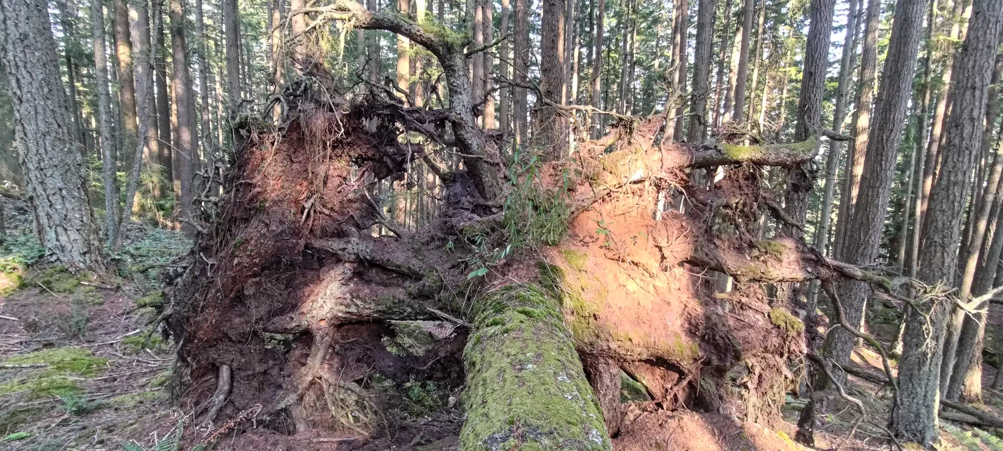
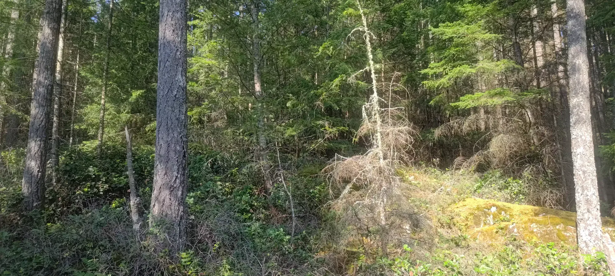
From this tree, the next 20 minutes were spent fighting for the final 20m of elevation gain. This is because the terrain past that point was full of micro-terrain undulations, deadfall, and general unpleasantness that had me cursing whoever decided that this mountain should be taken out of the Bagger Challenge, therefore making it unpopular to the point that no trail was established 😄 Once I got to the top, I was quite relieved, though I didn't get to enjoy any views or anything while I rested.
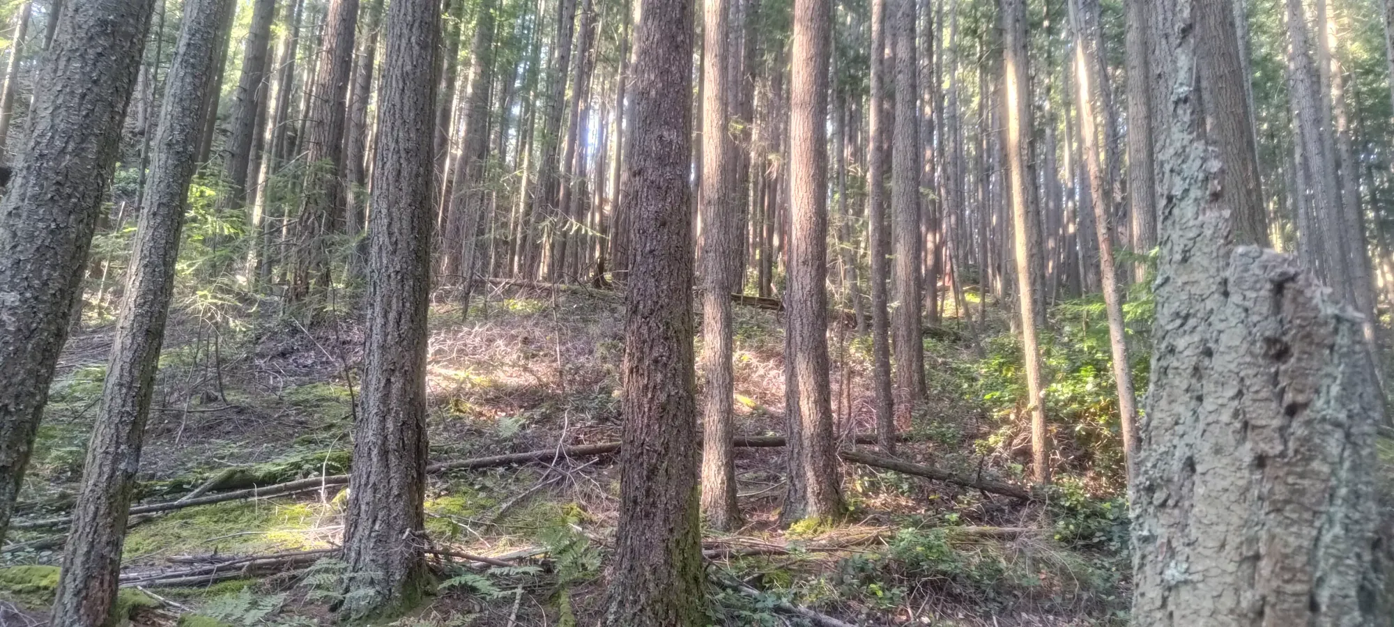
After some much-needed rest (I was feeling way more tired than I expected to given the stats), I started making my way down. Since the terrain was all kinda same-y, I didn't do much to try and stay on my uptrack. I think the downtrack between the big downed tree and the summit was superior to my uptrack, but beyond that, it didn't matter too much. Once I got back to 270m, though, I do think taking the old road as much as possible was the right call. The descent took about an hour, after which I was very happy to get back into the car and make my way towards the ferry. I was originally going to get ALL the peaks on the island in this one day, but instead me and my dad decided to get some dinner in the next half hour or so, which meant not enough time for Mount Collins. That meant I had just enough time to knock out Conical Hill/Duncan's Hat before meeting up, so I started driving in that direction...
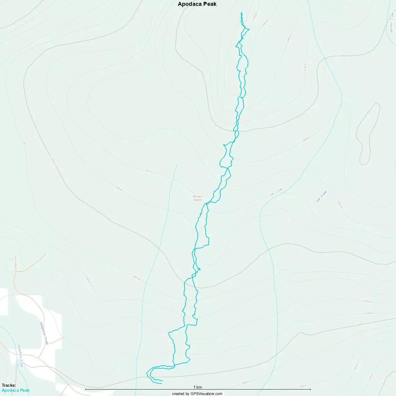
GPX Track + Map