Amabilis Mountain - May 31 2025
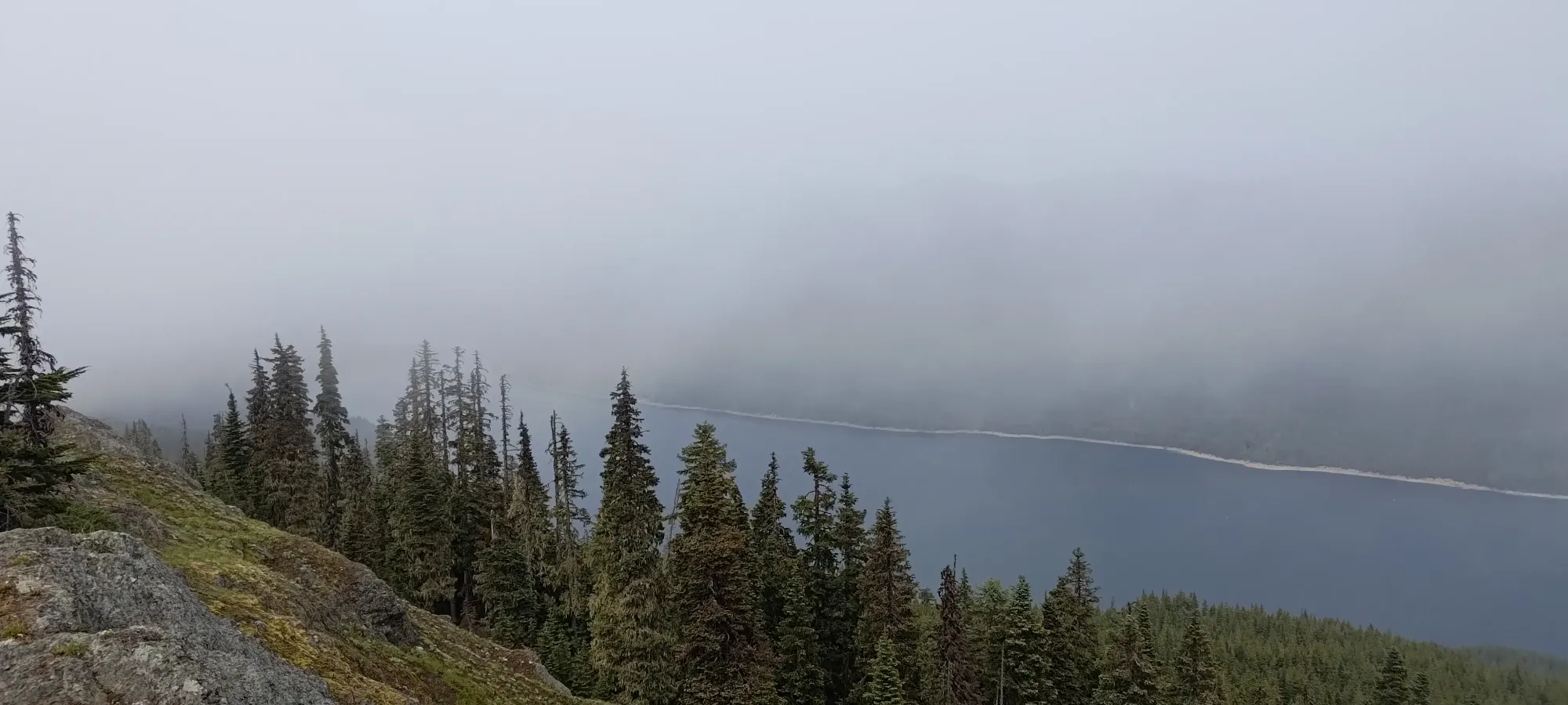
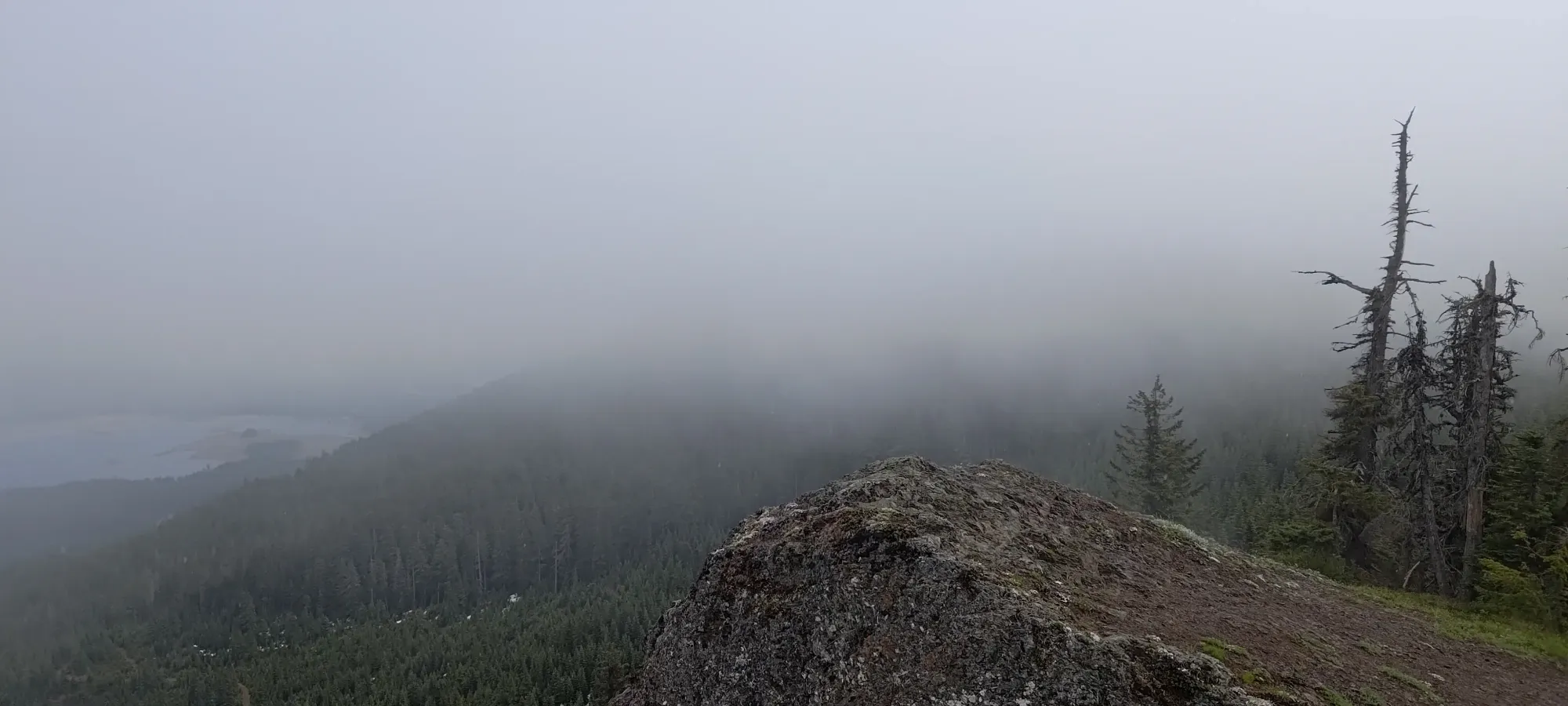
A mostly-driveable summit just SE of Snoqualmie Pass, this is a prominent summit that offers easy access and decent views (or so I hear, I was there in a storm) for minimal effort

Chikamin-Keechelus, Easton, Washington State
1392m
On the final weekend of May/first one of June, I was heading down south to aim for a bigger objective (stay tuned for that). Since I was going to have to sleep in the states for the night before going for it on the Sunday, I figured I may as well at least try to get some summits on my way down, since driving to the Washington/Oregon border doesn't take a full day, at least if you stay close to the coast (which I was). So, I planned a route out, searching for p600s along the way, and Amabilis Mountain showed up being not too far from the road, low enough that it should've been almost totally melted out, and indeed was a p600! So, after leaving Squamish in the morning, being disappointed at how gas wasn't even always cheaper than BC in Washington State anymore, and getting most of my drive done, I found myself cresting Snoqualmie Pass, and got myself to the base of Amabilis Mountain!
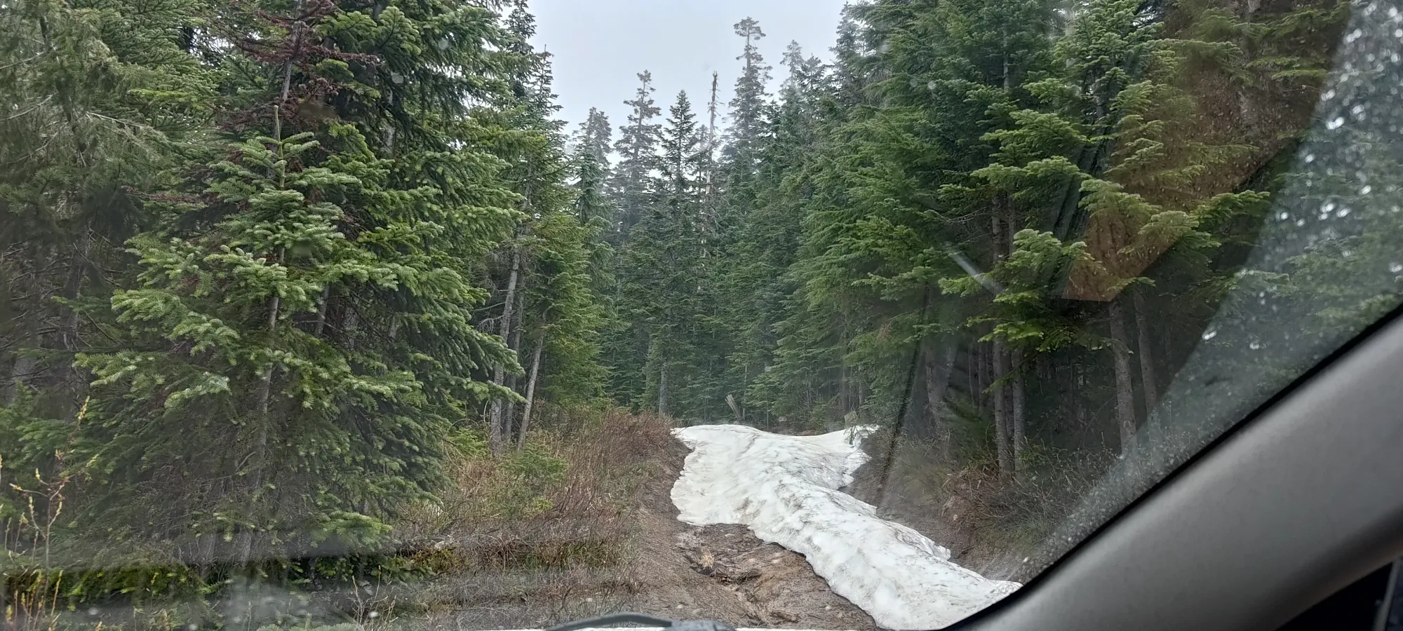
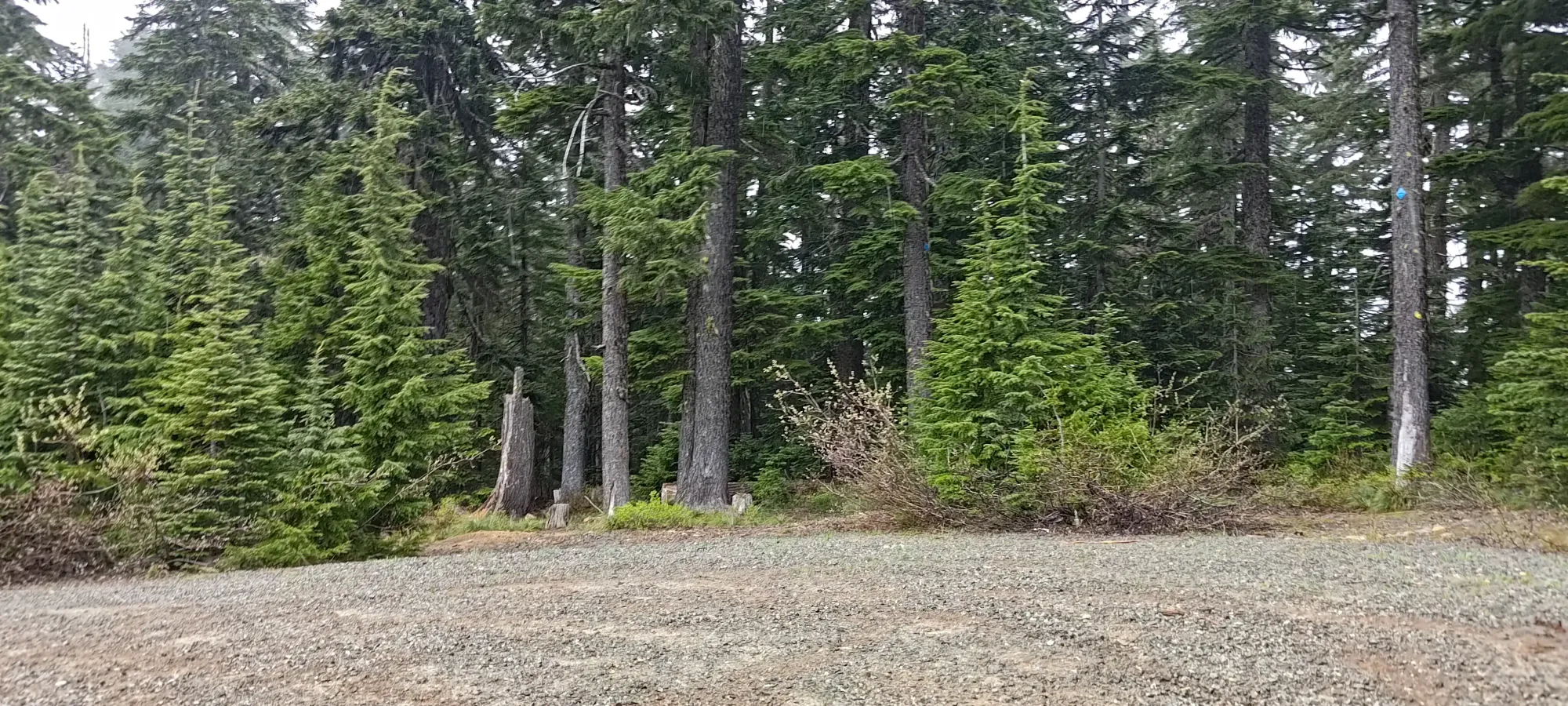
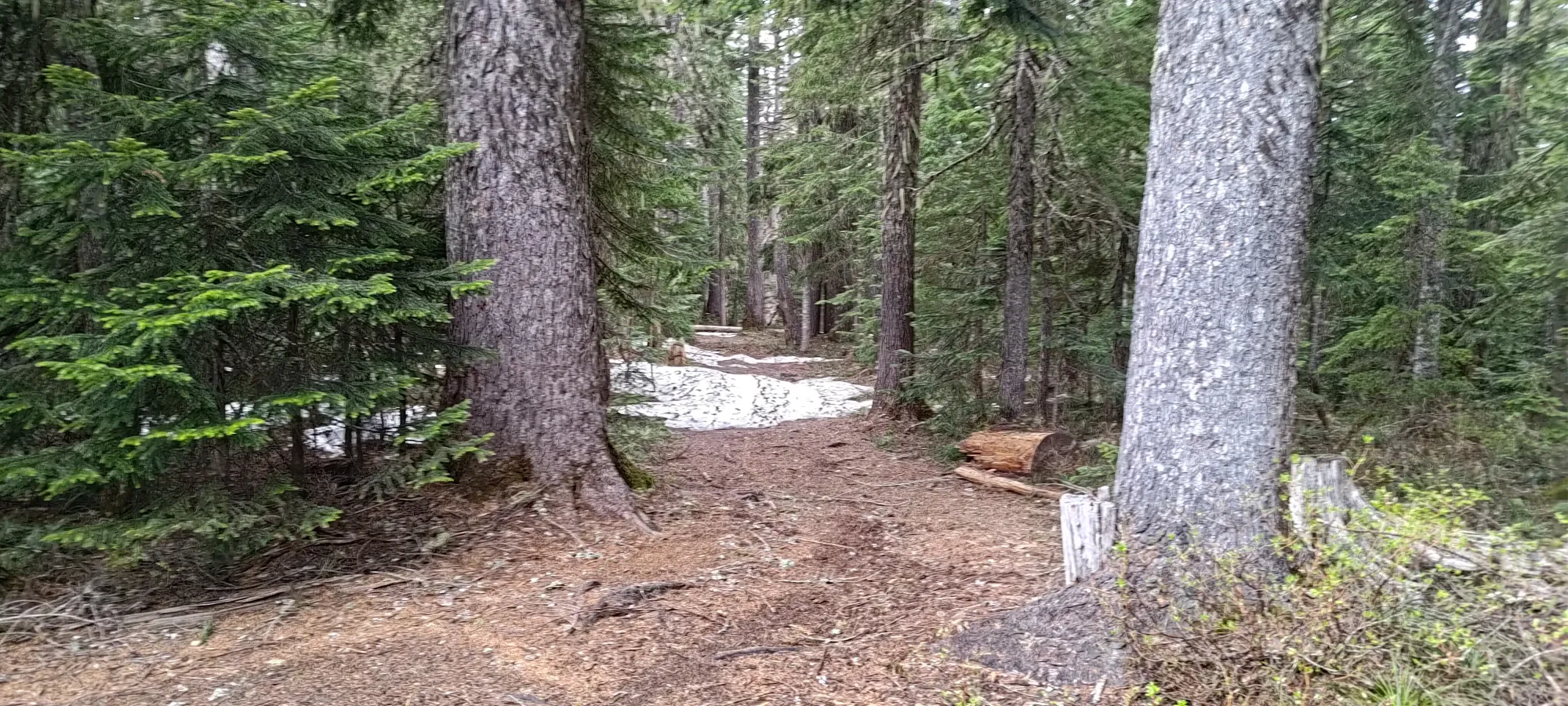
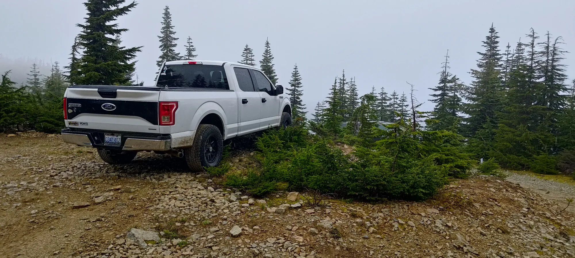
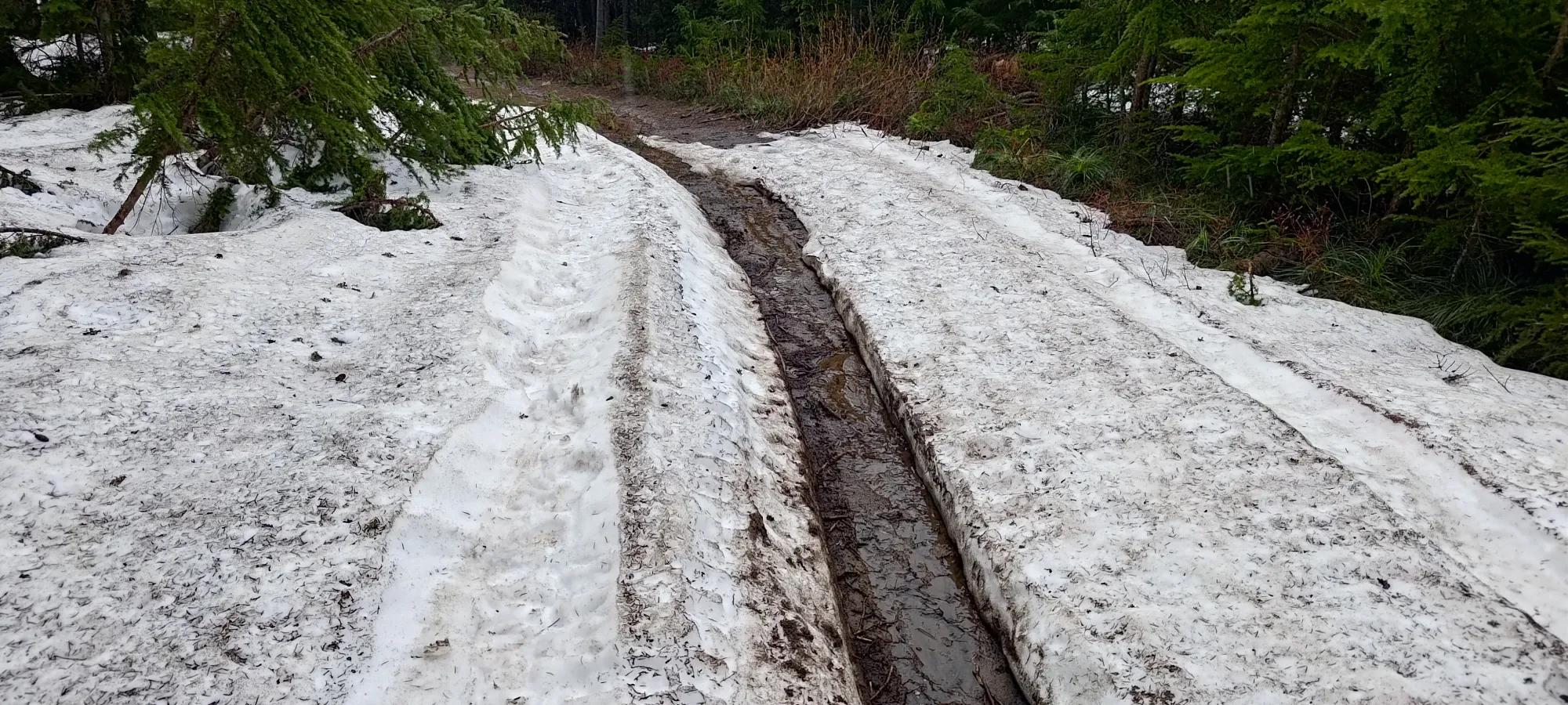
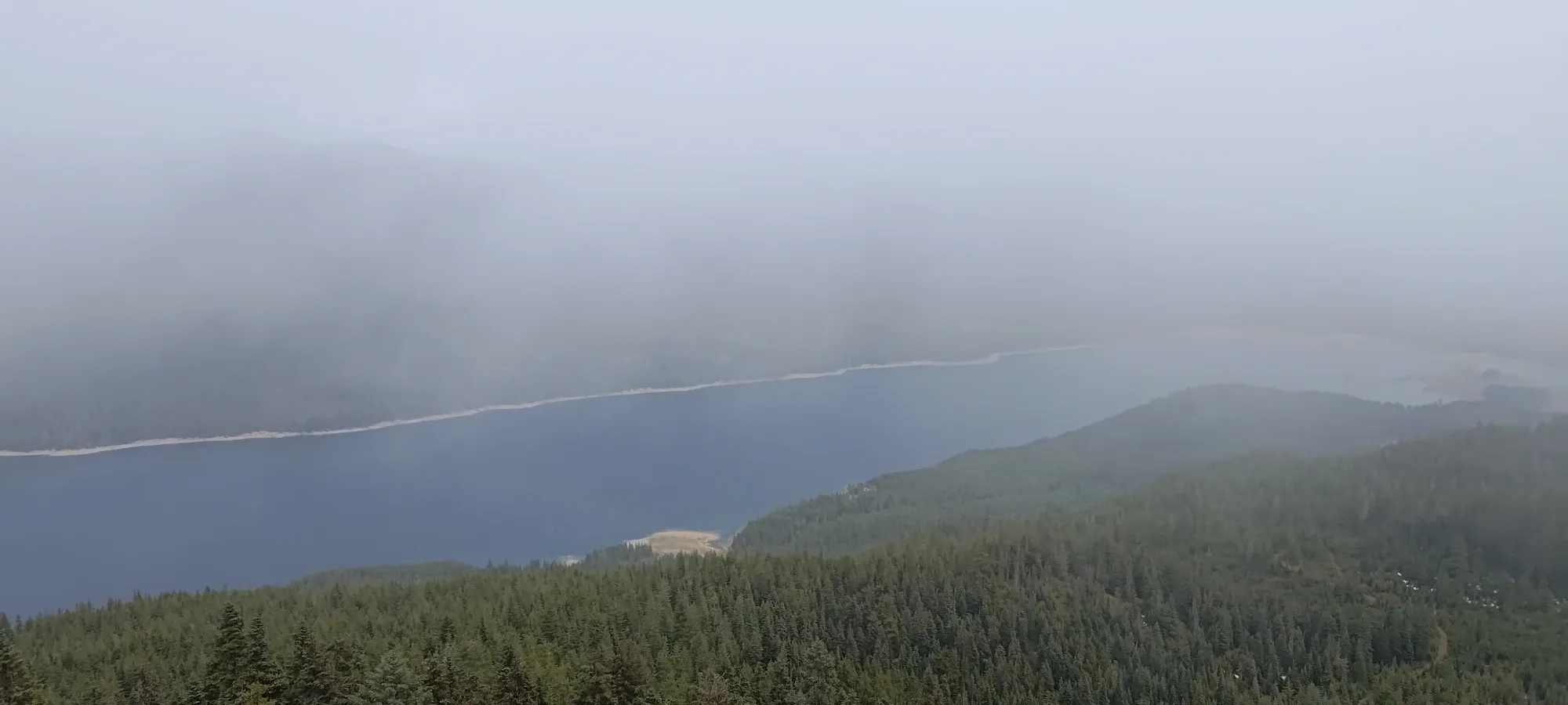
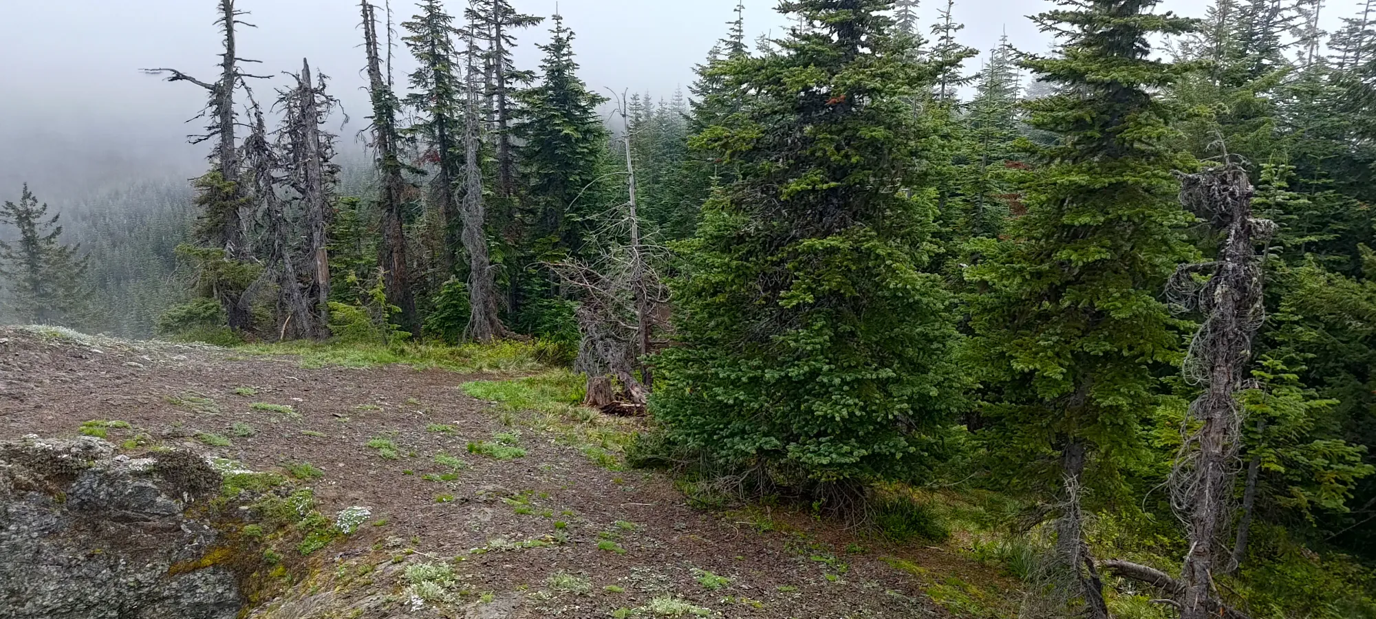
I drove up on the SW face of the mountain, taking the more southern of the 2 possible routes that lead to the summit. This is in excellent shape, you could take a sedan up if you wanted to. I got up to 1385m, onto the ridge, just south of the summit, before the road ended and turned into a hiking path (I saw that one could probably coax a vehicle through if motivated, but it seemed like it wouldn't be appreciated, and wasn't necessary, so I didn't try). I did explore a spur below that which looked like it would connect up to the true "summit road", but that was a big rougher (not a problem for my rig), and still snowy (the larger issue), so I returned to my original parking spot, got my rain shell on (it was drizzling), and started walking. At least I could call this a hike by having to walk a bit 😄.
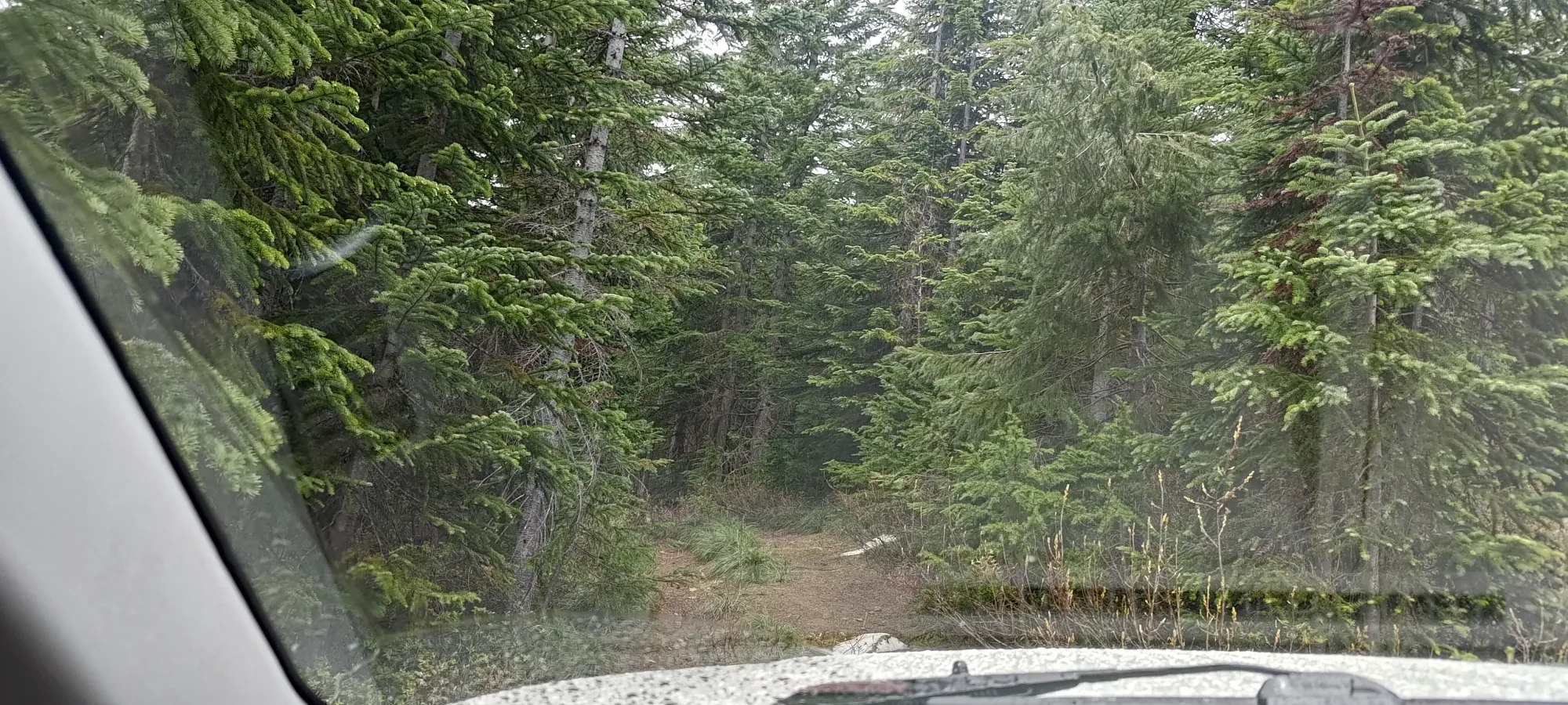
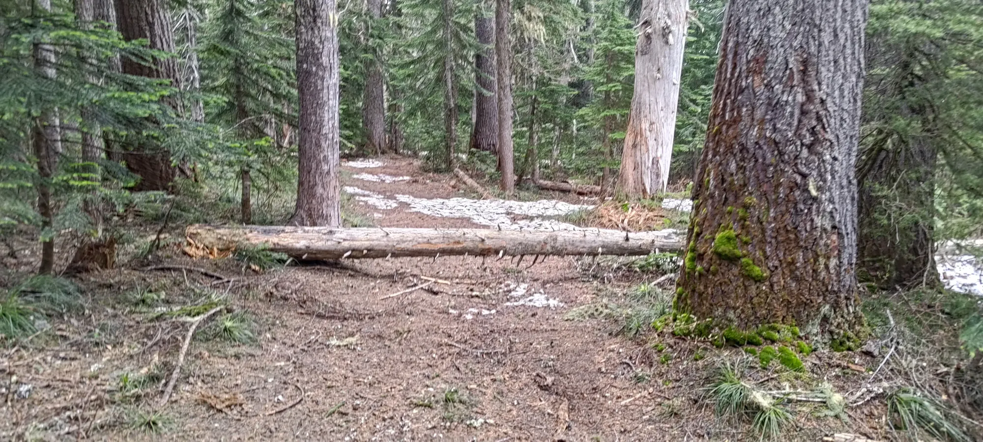
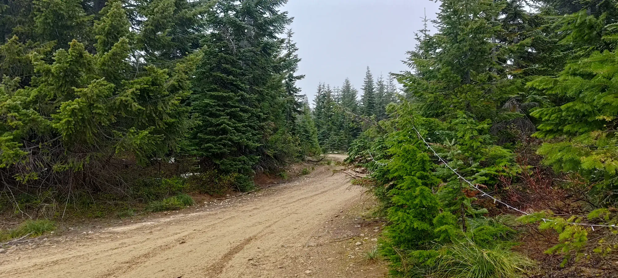
The connecting trail over to the "main road" was decent for hiking, and partway through, there was a deadfall I couldn't have driven over, so that validated my decision not to try to finagle the vehicle through, which was nice.
Of course, though, once I got onto the road on the other side, I found a bunch of parked vehicles 🙃, so clearly the other route up was the better choice. Oh well, a little walking wouldn't kill me. Even though I did accidentally walk 100m down the wrong road at that junction, so I did walk more than I needed to, even discounting my sub-optimal parking location. At least going down that side (which was what I'd have had to have driven up from the spur I turned back on to get to the same location) confirmed that turning back was the right call, it got very snowy near the top.
Once I oriented myself correctly, and started making progress towards the peak, I found a lot more vehicles, people setting up tents, and even tables+signs for an event. It seems some kind of party was going down that weekend, but thankfully not so formal that access was closed or anything. I didn't investigate much, as I had a simple mission and limited time to accomplish it.
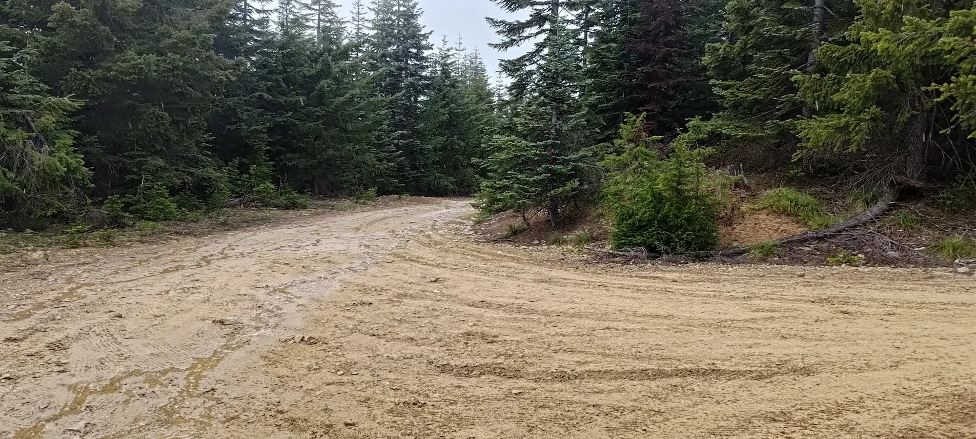
This way was much easier (and free of snow)
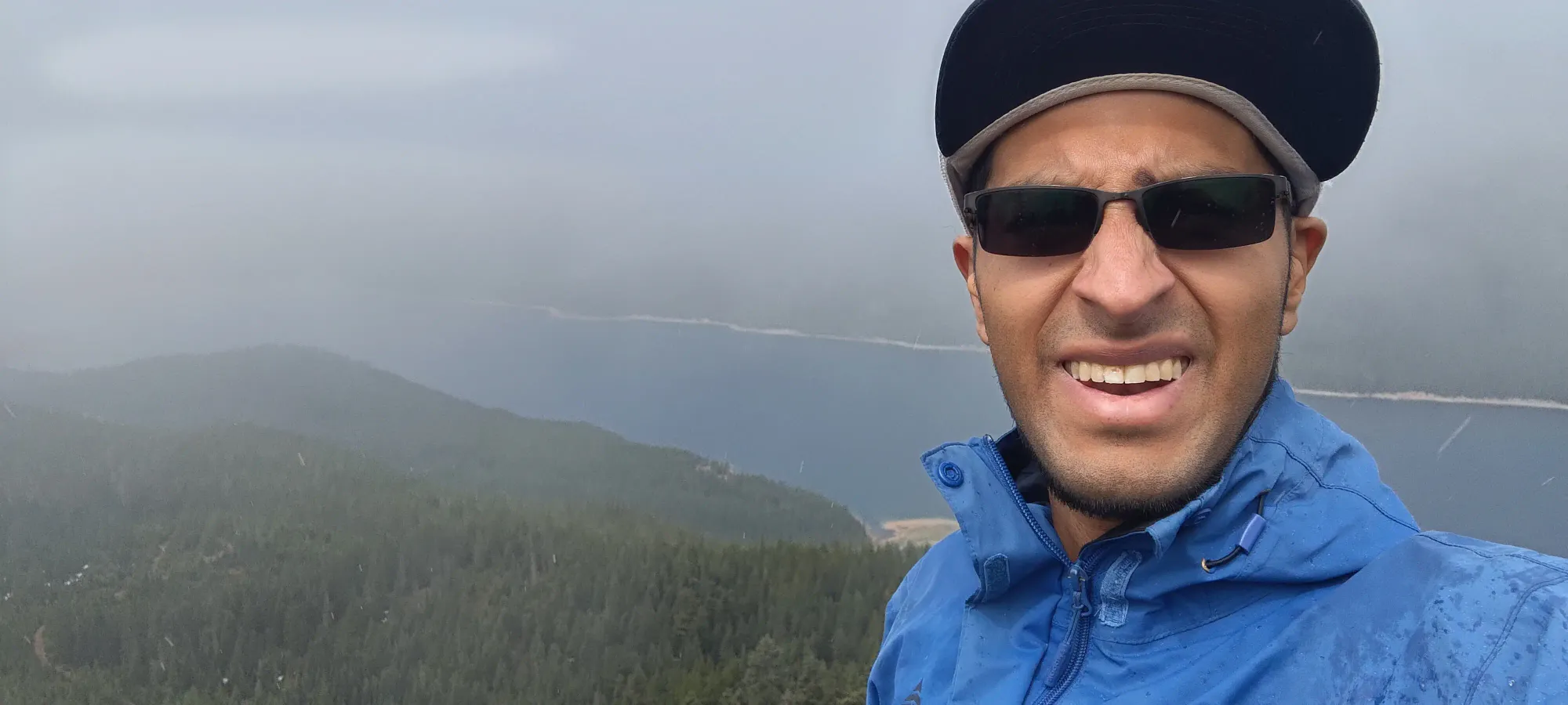
After wandering past some campsite and parked vehicles, I found a stash of community drinks that were left free for the taking (though I declined to partake), some people playing cornhole, and a DJ setup, and past them, a narrower+steeper road that went towards the summit. I followed that until it ended just a few metres behind the rocky outcropping that formed the summit, and within 10 minutes of leaving my car, I was on top! Quite an easy bag, enough that I'd call it trashbagging, despite the prominence 😅. Still, I'll take it!


With that uneventful summit out of the way, it was time to head back down and continue the drive. The walk back was more direct, and took only 5 minutes. Driving down was just as easy as cruising up, and I was on my way south with not too much time wasted, and a new p600 in the bag! I definitely would recommend the detour if you're in the area, though the physical aspect of the hike leaves much to be desired. Good for "efficient peakbagging", though 😄
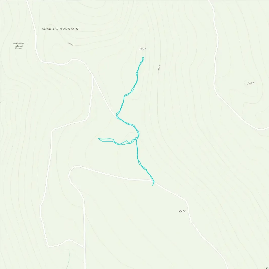
GPX Track + Map