Alpen Mountain - May 23 2022
Coast Mountains, Squamish, British Columbia
1709m
Continuing our long weekend of "3 peaks in 3 days", after doing Anif Peak and Mount Mulligan on Saturday, we only had 1 more to go in 2 days, so we had a little time to plan. Since the snow, as we discovered on Saturday, was rather wet and miserable, we figured it might be worth actually timing a proper alpine start for this next endeavour. So, we woke up early Sunday, putzed around town for the day, and tired ourselves out to sleep somewhere around 7. We got up at about midnight, and headed out at about 2:30 after some breakfast, TV watching, and gearing-up.
The drive down the Mamquam River FSR was again, uneventful, and just about any vehicle can do this without a problem. No snow, no significant mud, ruts, or undulations to speak of. Once you get to the turnoff for the trailhead, there's a parking-friendly area that you can and probably should turn off in if you've got poor approach/departure/breakover angles and lower clearance on your vehicle. We, however, did not do that. Instead, I drove about 1.5km up the trailhead road in a fever to not make myself regret not doing so like Saturday. However, this road is chock-full of cross-ditches. And while we made it up the whole 1.5km before I decided I probably should stop as the next one looked a bit bigger than the rest without issue... this did not hold on the way down. A car with 7+" of clearance and decent angles can get all the way to the snowline without trouble, though, so we saw maybe 4 or 5 vehicles interspersed along the trail, parked in various spots.
The snowless part of the road was a simple walk-up-a-road-in-the-dark event, so not much to note there. About 40 minutes in, we'd gone up about 300m of elevation and 2.3km. The actual elevation here was about 900m, and that's where the snow started. Thankfully, it was basically just no snow followed by consistent snow, so I strapped my spikes on, and we continued up as far as we could reasonably go without postholing before strapping on skis/snowshoes. For the next while, the terrain basically just looked the same, a bumpy snow-covered road surrounded by trees.
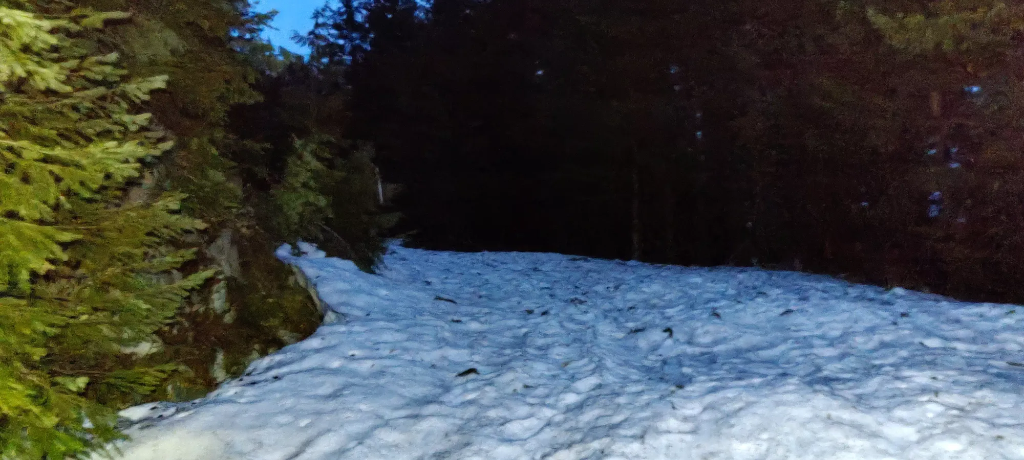
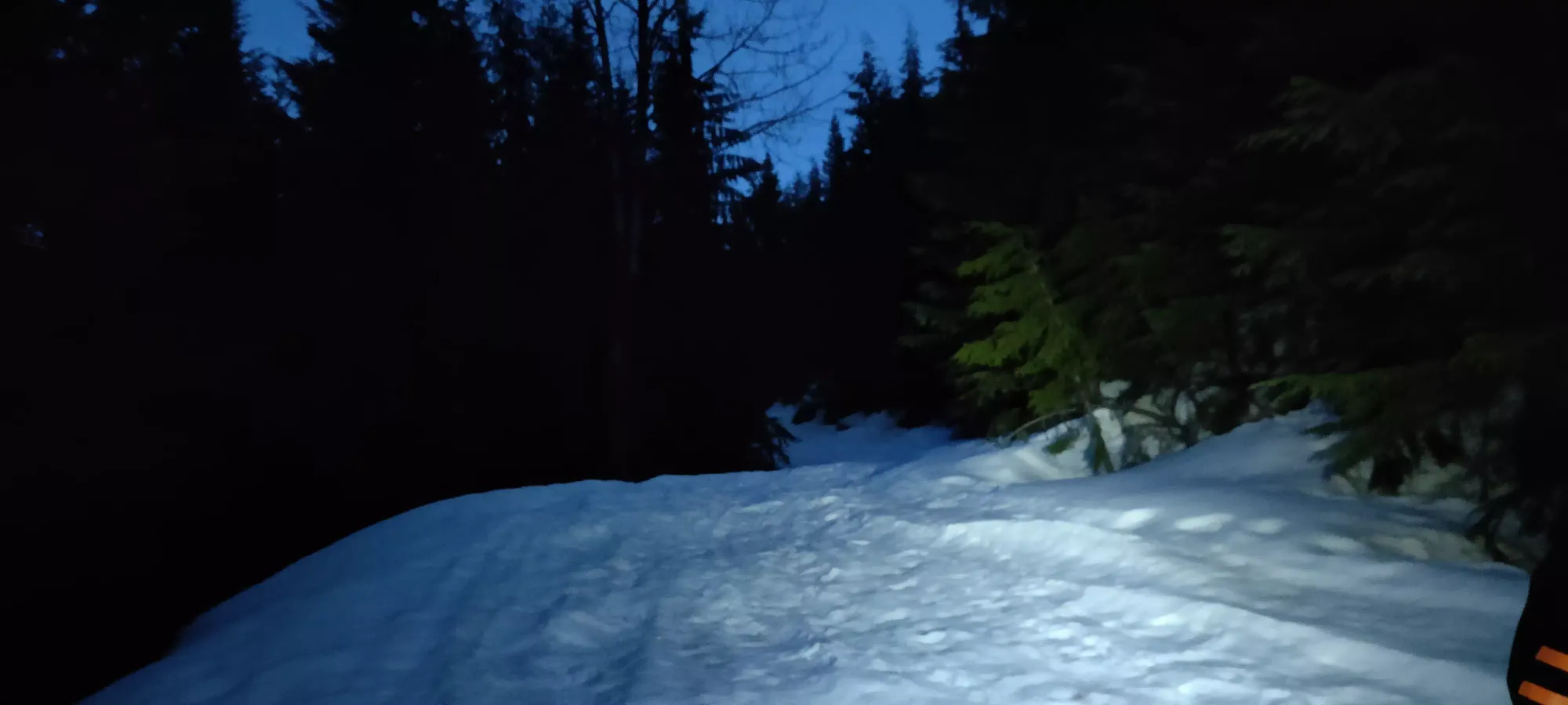
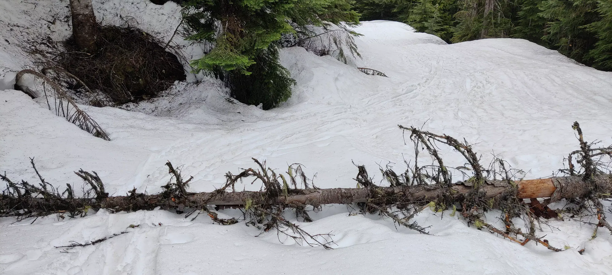
About 20 minutes later, the snow was getting a bit softer as we gained more elevation, and at ~1060m, there's a tree blocking the path, so if you're planning to use a fast mode of transportation to this point (maybe even driving in summer), beware of tree unless someone clears it. But Logan had decided he didn't want to put on his snowshoes yet, and if he wanted to break trail while we bootpacked, I wasn't going to complain. So we continued on by foot.
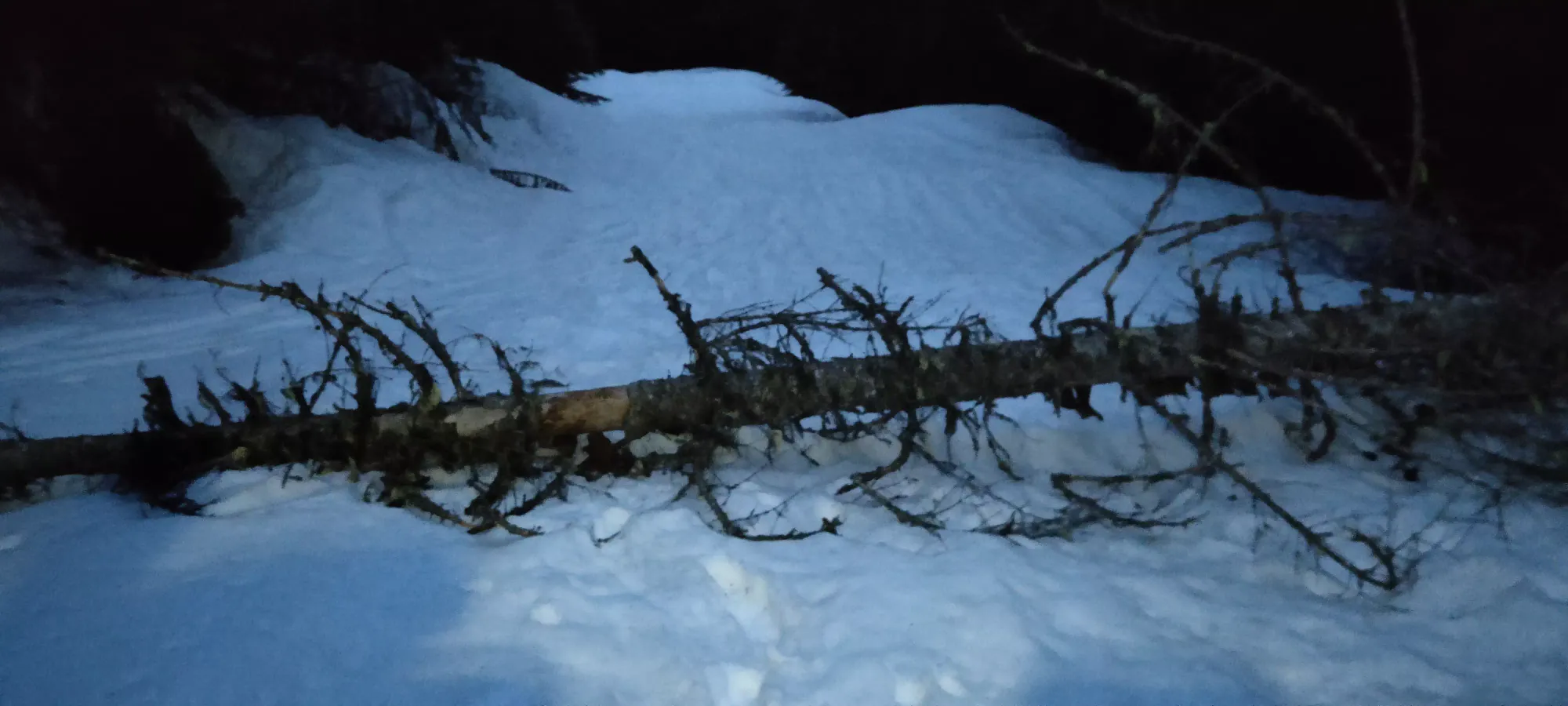
After another 150m of elevation later at about 1100m, we got tired of postholing, though, and decided to strap on floatation. You could get by further along, but it would be slower, and decidedly unpleasant. So honestly I'd probably gear up sooner if anything. This was about 1:20 into the hike, or 4:50am. Things were still pretty dark, but I suck at gear transitions, so by the end, things had brightened up, and we could comfortably put the headlamps away.
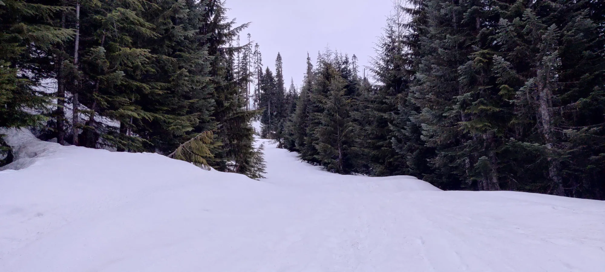
The road continued with fairly similar conditions, fairly uneven, snowy road. Though the tree cover started thinning a bit around 1150m, and at 5:20 we saw our first meaningful views.
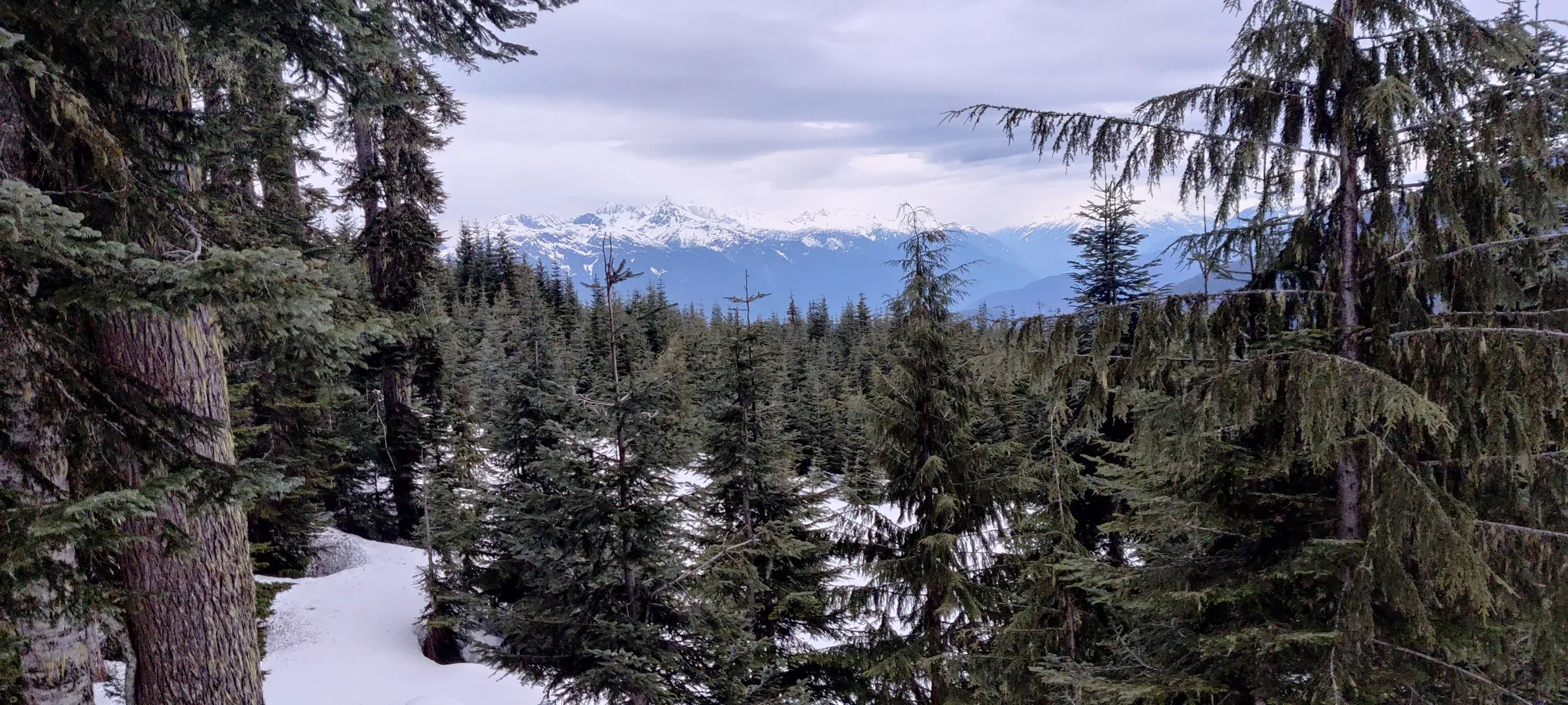
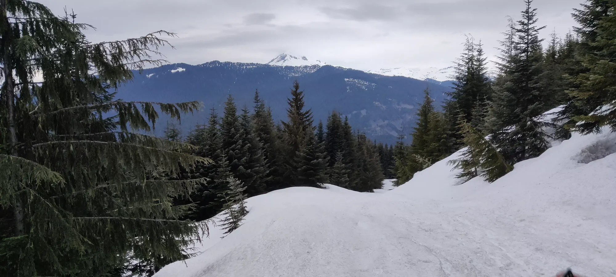
Another 20 minutes later, and we got a good look across Raffuse Creek at Saturday's objectives, Anif and Mulligan. By this point, the snow had also started to "clean up" and was no longer covered in pine needles, etc.
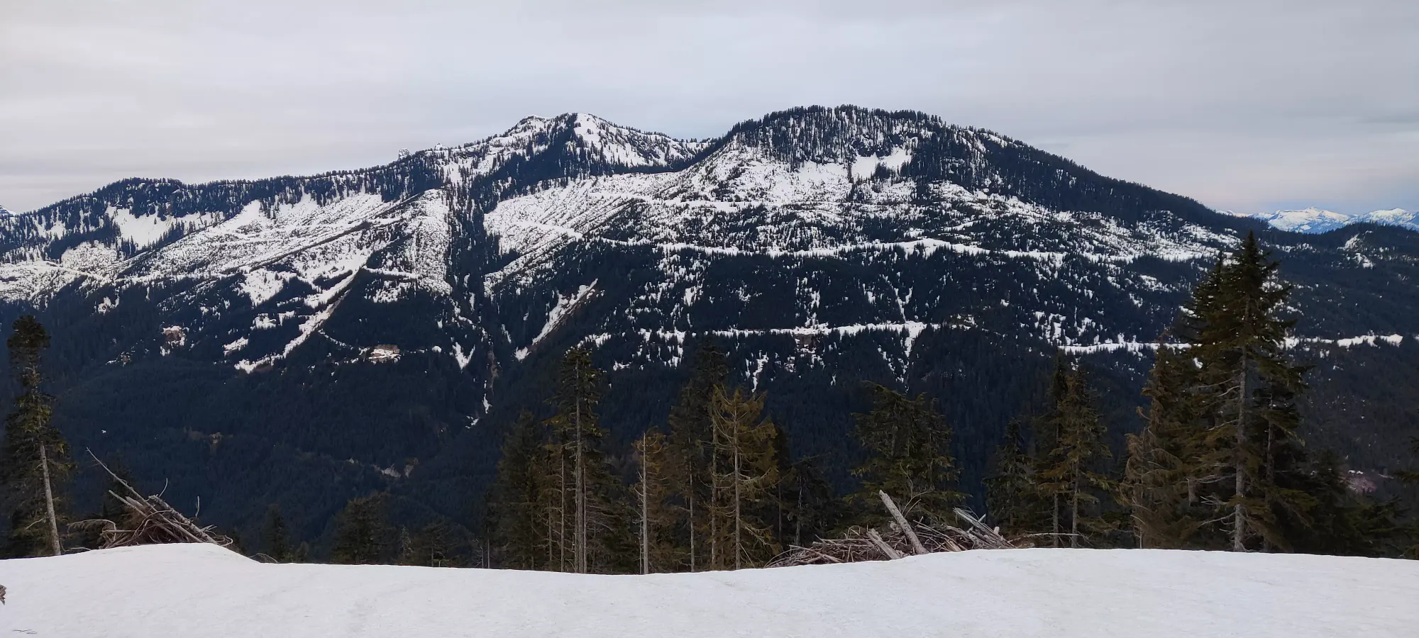
2 hours 20 minutes in we arrived at the first fork in the road, at 1250m. I believe the left fork is a snowmobile route, and much more popular. There were still at least 1 each of snowshoes and ski tracks to the right though, and that was our way forward, so we continued on that way.
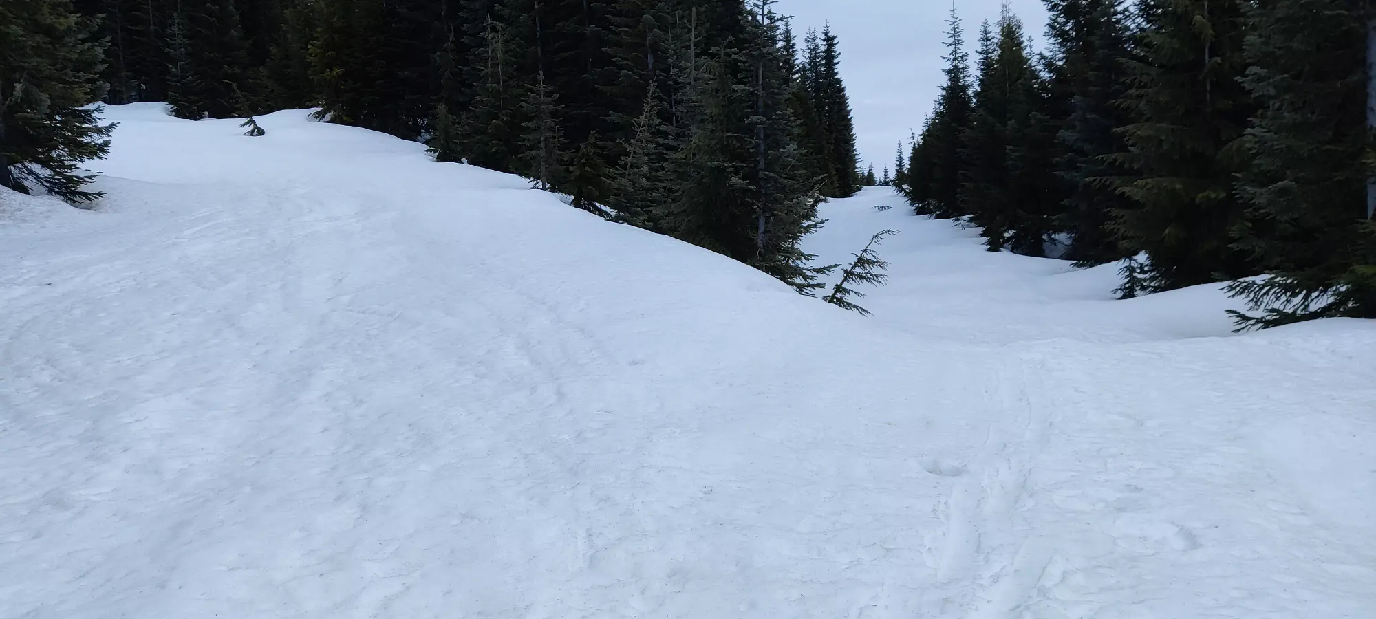
The path is a bit narrower here, so I doubt full-size vehicles drive up here in the summer, but I'd be surprised if bikes/ATVs/etc did not. At about 1325m up, 2:45 into the journey, it still looked pretty road-like in all honesty. You could really shorten this journey with the right vehicle.
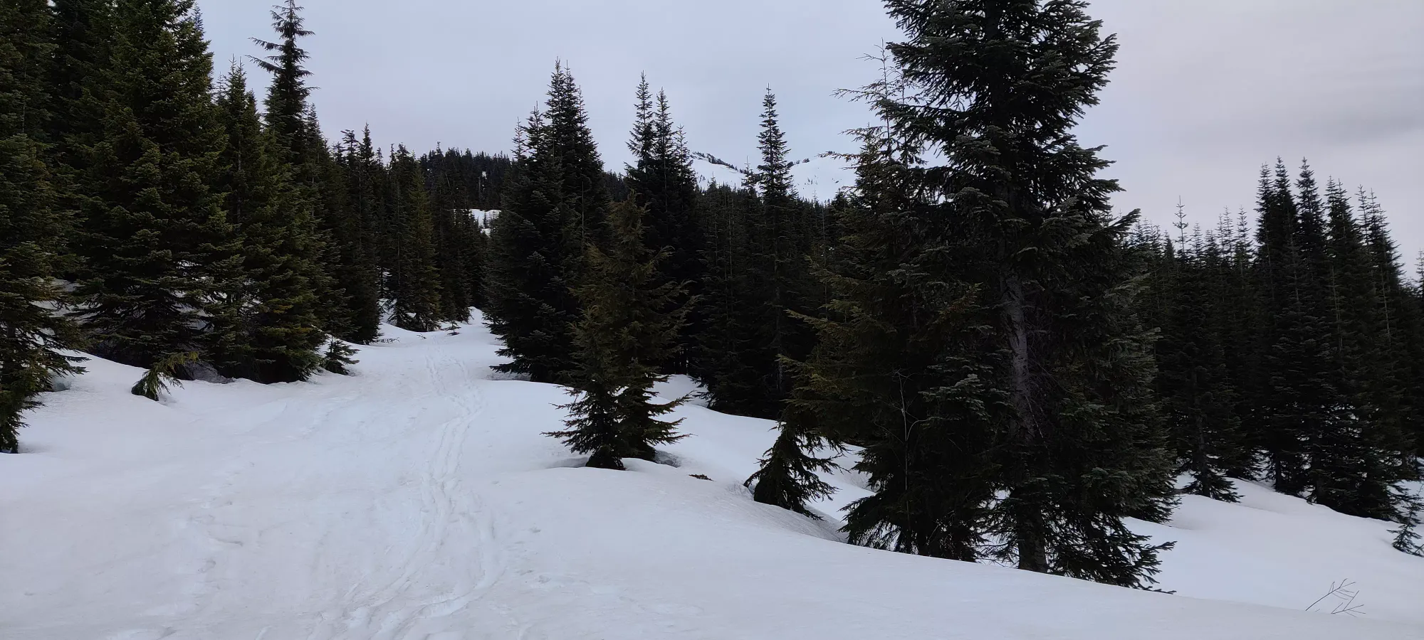
We continued up this road, getting a bit tired by this point, until 6:30, about 3 hours in. This is the next big fork in the path, and sadly, where all tracks disappeared. At just under 1400m, the road forks to the left, heading towards a small lake according to our maps. This was where the tracks we were following went, but our goal was to the right.
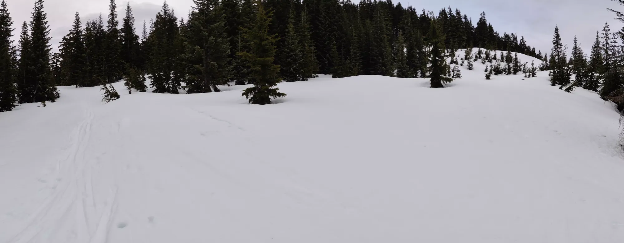
After about 15 minutes and not a whole lot of distance, things started getting steep and decidedly less obviously path-like, when we hit our first big problem, and the reason this trip took so much longer than we anticipated: I am an idiot. More specifically, I figured after Saturday "my apartment is warm, my skins should dry up in their bag over a day and a half".
I was wrong, and they certainly did not. After the first time they had to stick onto something steep and really resist sliding back, they in fact did not resist, and slid right off my skis. So, we ended up having an early breakfast from about 6:45 until 7:50 so I could stick my skis into my jacket and warm them up. Lesson learned, the hard way: hang up and dry your skins properly. Thankfully, this seemed to be effective, and after a good amount of fumbling to get my tech bindings back on whilst on the edge of a steep slope, I managed to get myself mobile again.
From there, we continued on up a small, steep forested area until things opened up again at about 1550m. At about 1570m, I captured this picture of Logan following me up through the soft spring snow, but in weather that made it feel much more wintry than the previous days might've indicated.
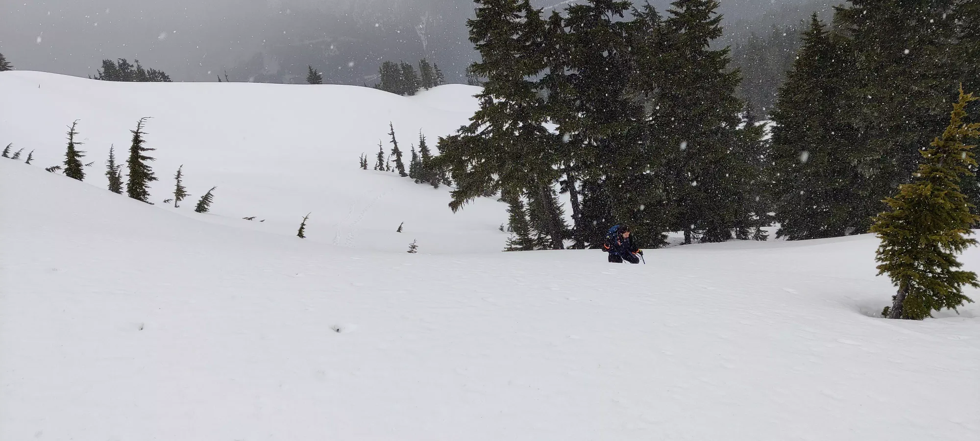
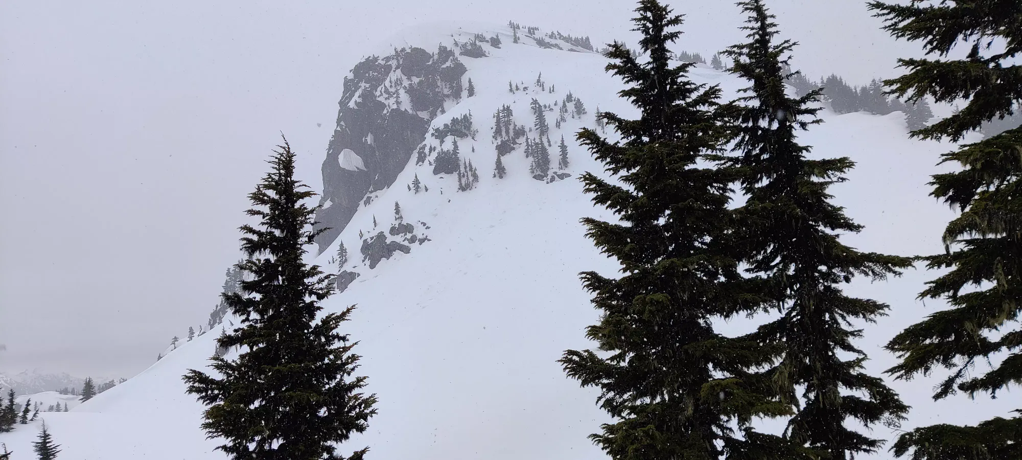
From this point, though, you get a nice view of the summit area, and it does look pretty cool. Despite the cooler-than-expected temperatures, the snow falling, and my gear mishap, we were excited and pressed onward towards our goal with minimal delay. Thanks to the accidental previous break, we were tired, but still moving at a decent pace.
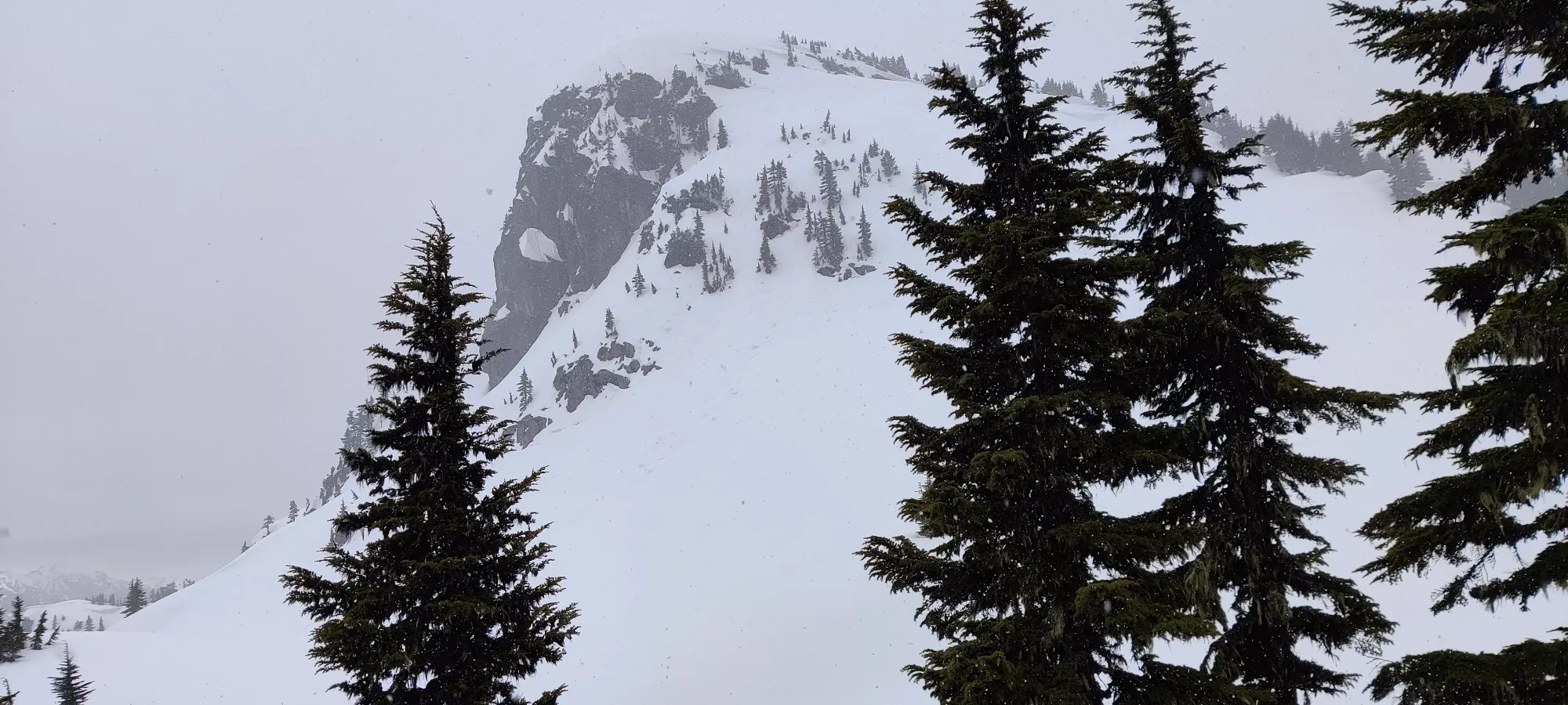
At 9:00, or about 5 and a half hours in, we were coming up to the steepest part of the summit complex, and saw some rather disappointing avalanche debris right where the best skiing was located (standing at about 1620m, looking to climber's left from our position).
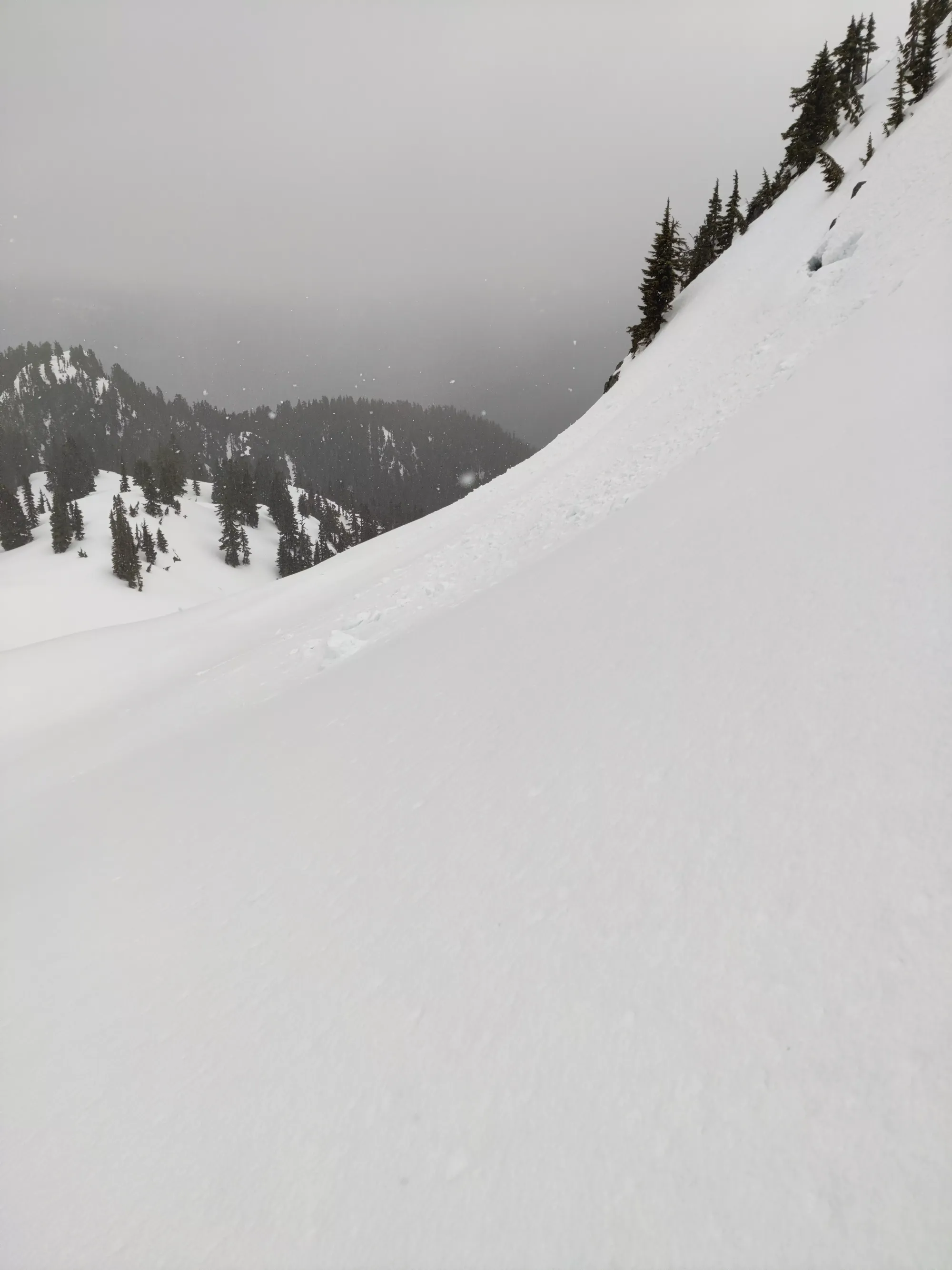
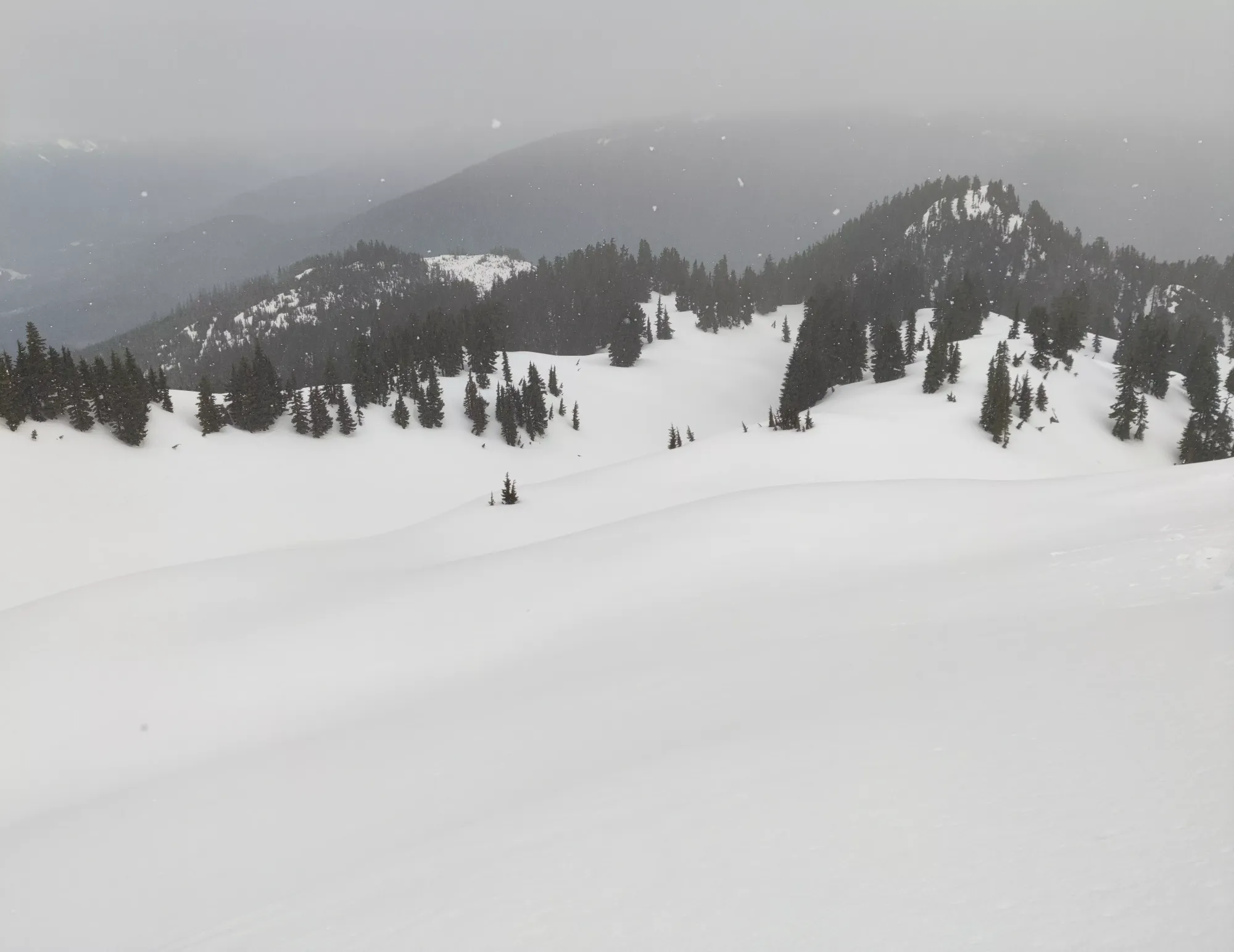
Unfortunately, about 5 minutes later, I had a repeat of my skin incident, and we were forced another long break (so close to the summit too😞). So we waited around for another hour, thankful that the snow had at least ceased, snacked, and sat around waiting for my skins to dry once more. We set out at about 10:05 from 1630m, so like 80m away from the summit (in elevation).
Since we weren't that far, it was a couple more switchbacks across a steep face and we got to the summit plateau. There's a false summit that probably has some decent views we couldn't be bothered visiting to your left as you crest the ridge, and the summit ridge to your right, which is a couple dozen strides away.
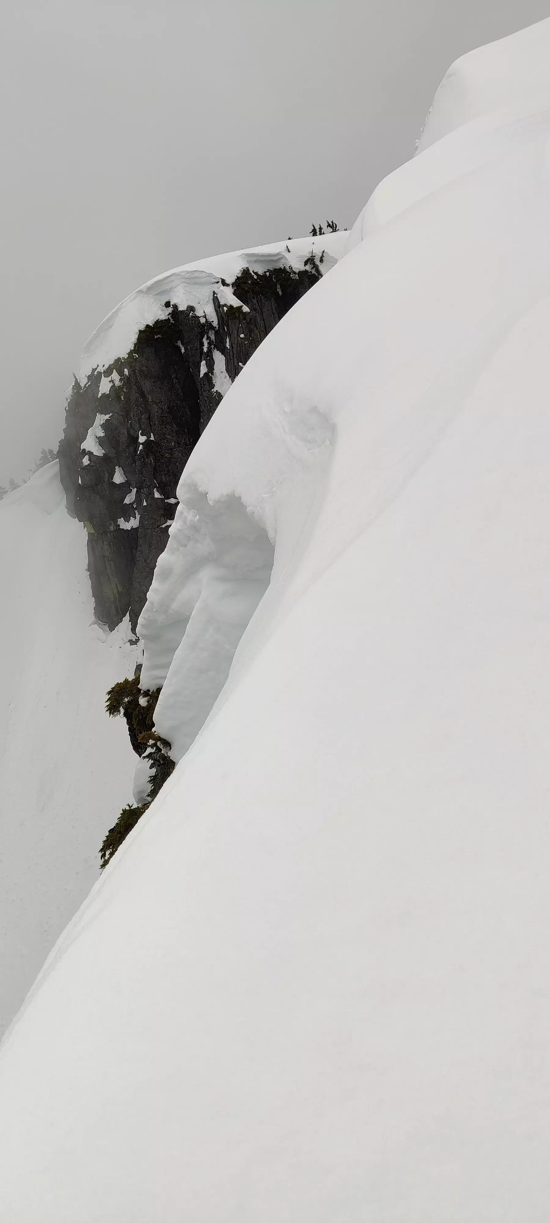
So a short ridgewalk trying to avoid cornice falls later, we arrived to the summit about 7 hours in, far longer than we'd expected, but that's the price you pay for not taking care of your gear properly. We at least had plenty of time, so it wasn't a big problem.

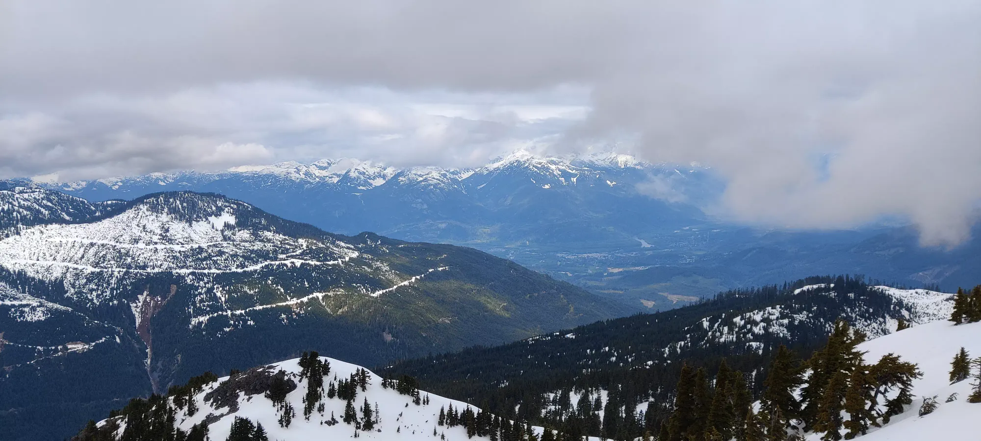
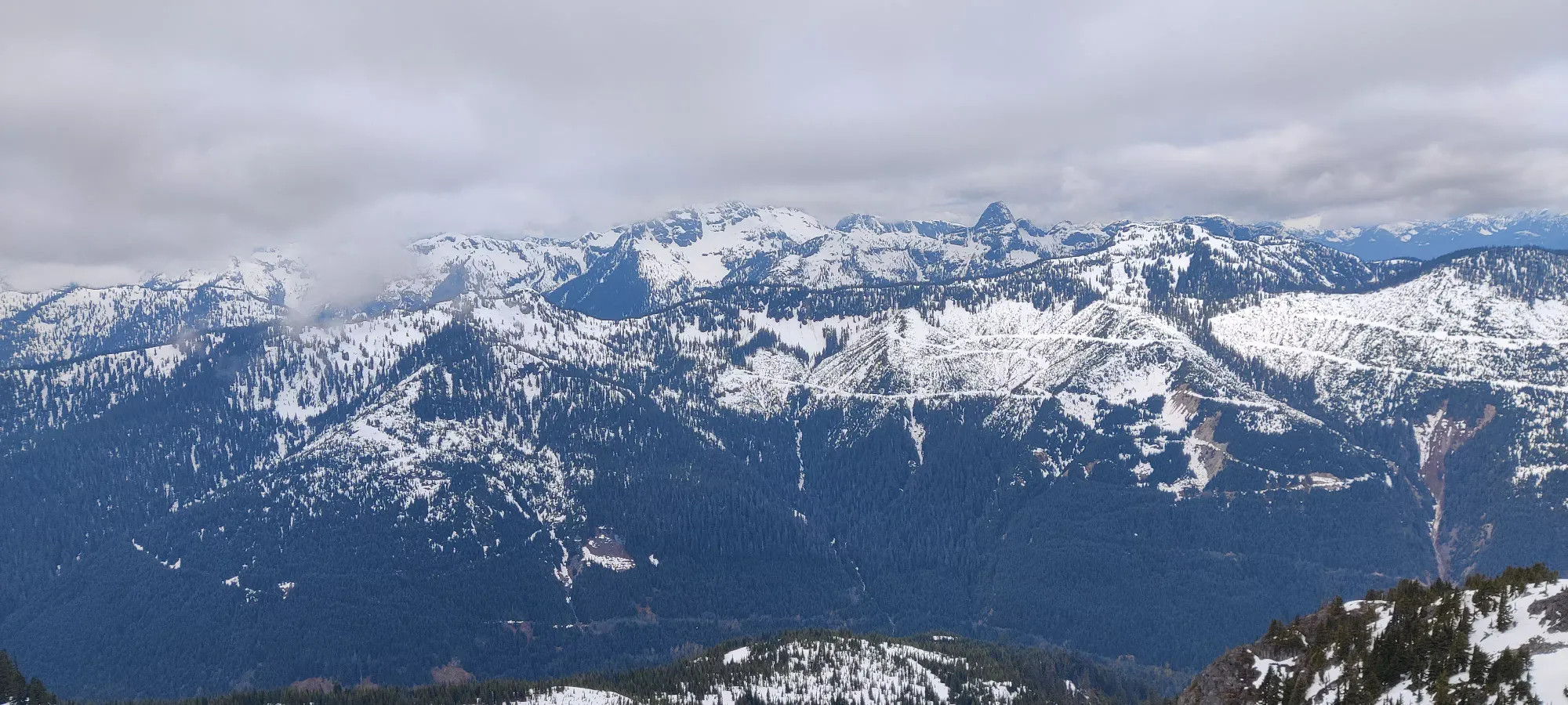
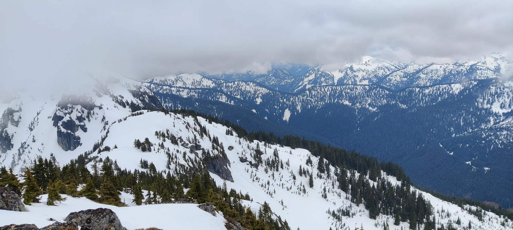
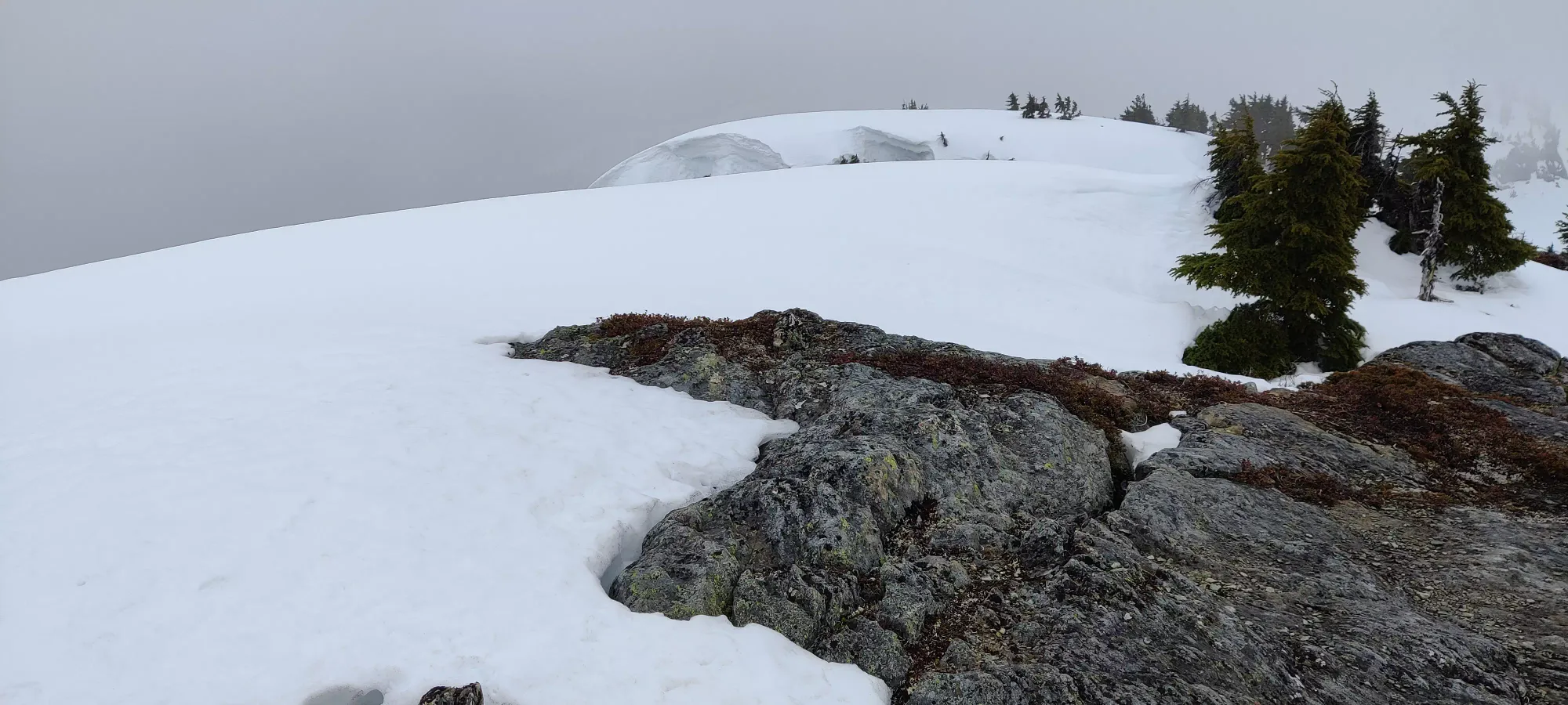
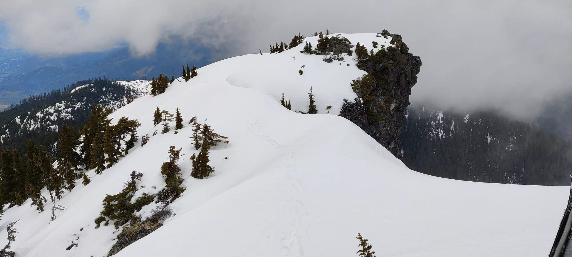
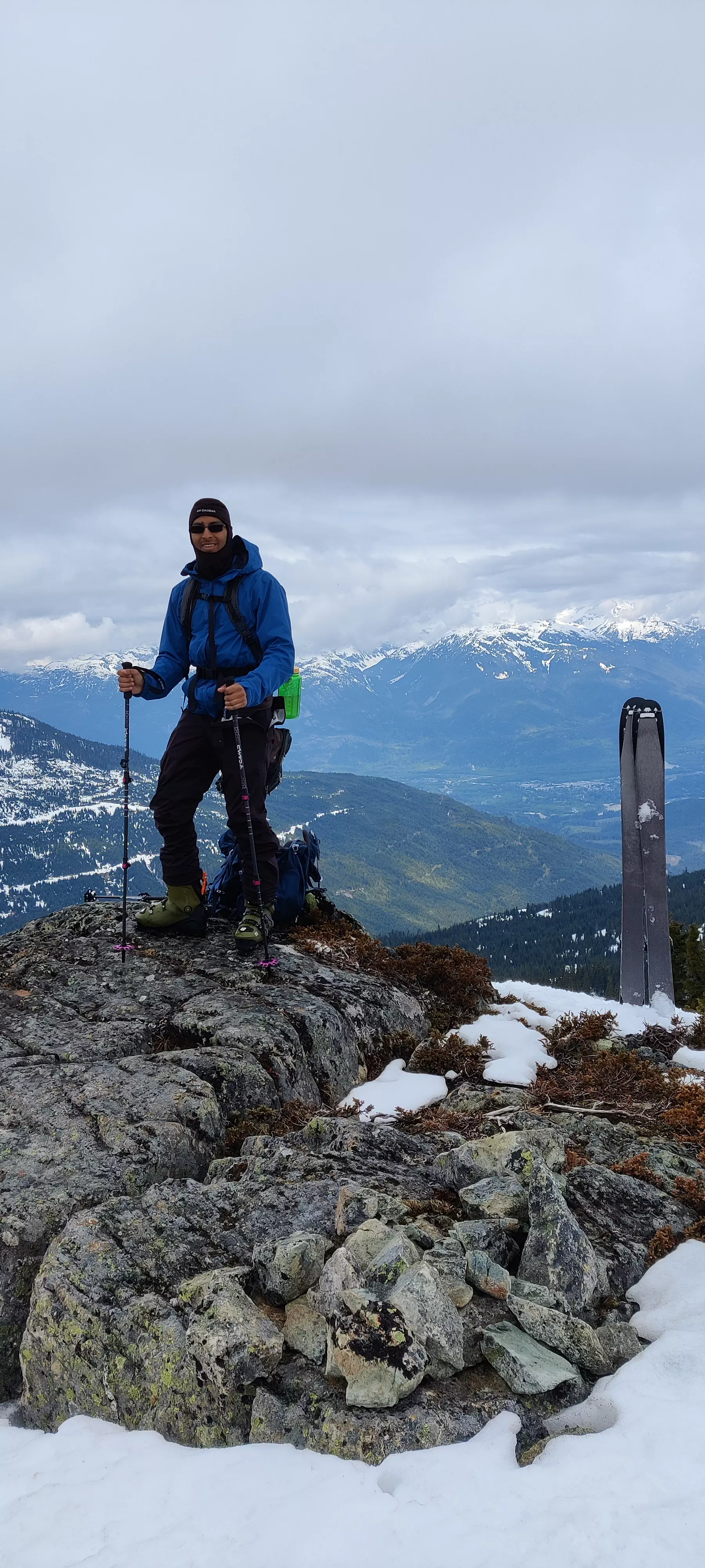
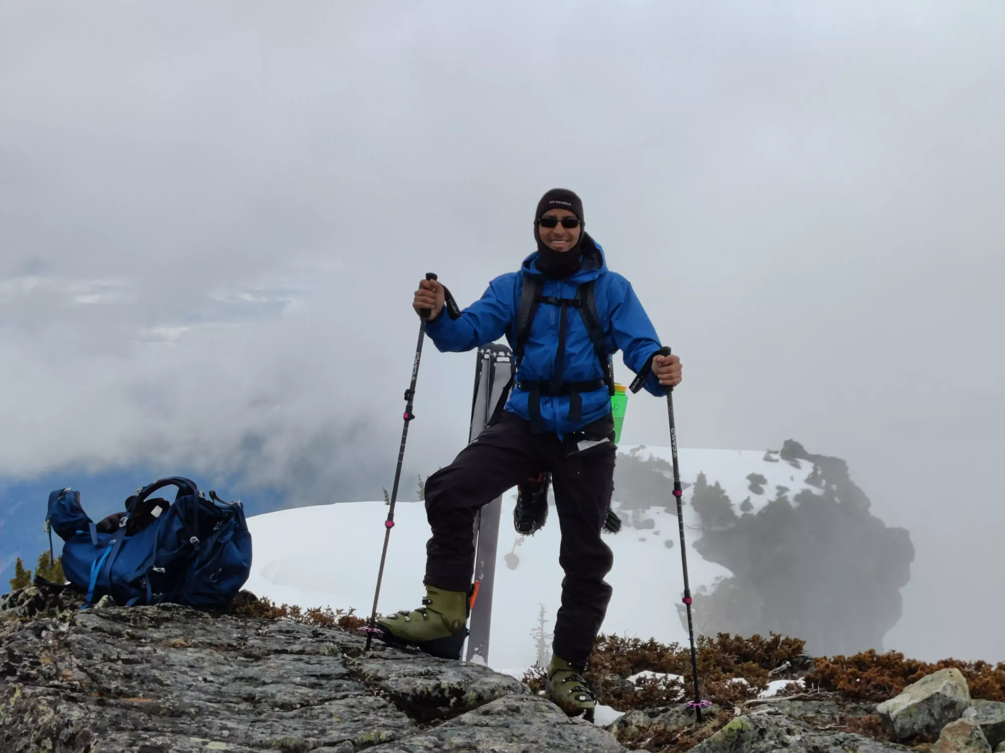
After half an hour of taking pictures and relaxing on the summit, I got to pack up my ailing skins, and reap the rewards of lugging my heavy-ass freeride boots up the mountain.
Sadly, this wasn't as good skiing as Saturday, the snow definitely warmed up even more, and was very sticky. Even worse, there were a ton of little bumps made of snow melting from the bottom, which would collapse if you loaded them which gave us some trouble even on the way up, so the way down was pretty careful and I mostly stuck to our tracks from the way up. But it was still fun enough, and definitely better than walking down.
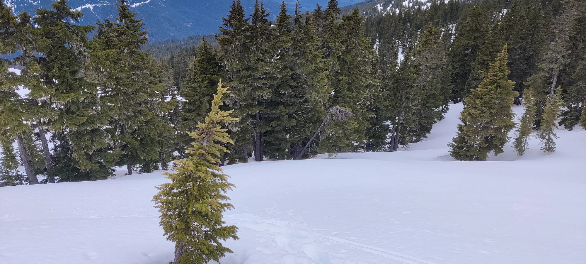
At about 1410m, we hit a steeper section where the snow was really soft. I stepped down on my skis and did the lighest of ski cuts, and immediately triggered a size 1-1.5 avalanche. This snow was very much ready to slide as soon as it was touched. So, I shimmied across until I could see a clear path I knew I could get down faster than the snow, and blitzed down (as much as the wet snow would allow) since the terrain after mellowed out, and I wanted the momentum. Was my first time experiencing an avalanche, though, and the feeling of it dragging your skis down was pretty "interesting", to say the least. Thankfully all it resulted in was me being annoyed at having to walk further in my skis since I couldn't take the whole slope at speed.
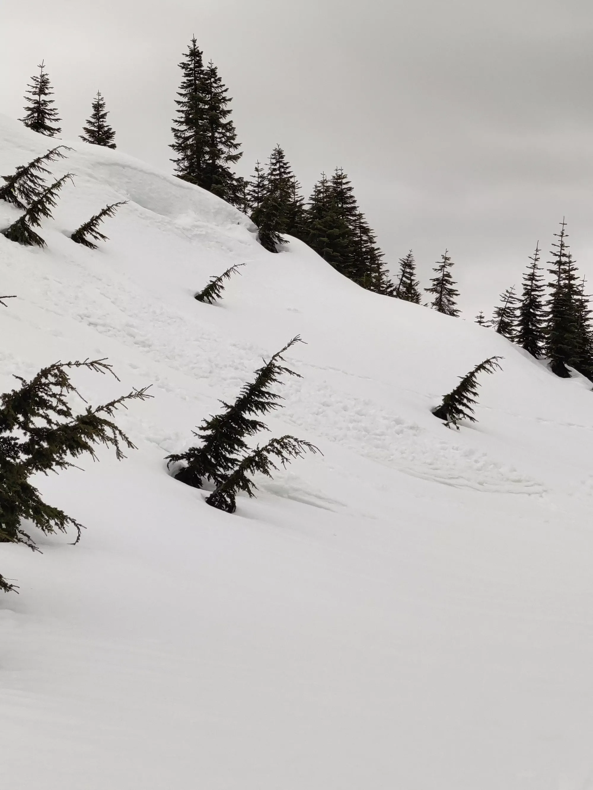
Once we got out of there, we quickly rejoined the path from where the last fork to the lake was, and things actually got faster for me. Since there were ski tracks (not just skin tracks, and from me), I could follow them down and avoid some of the softness in the snow. This worked well, and I got to gain a little more speed in each section down.
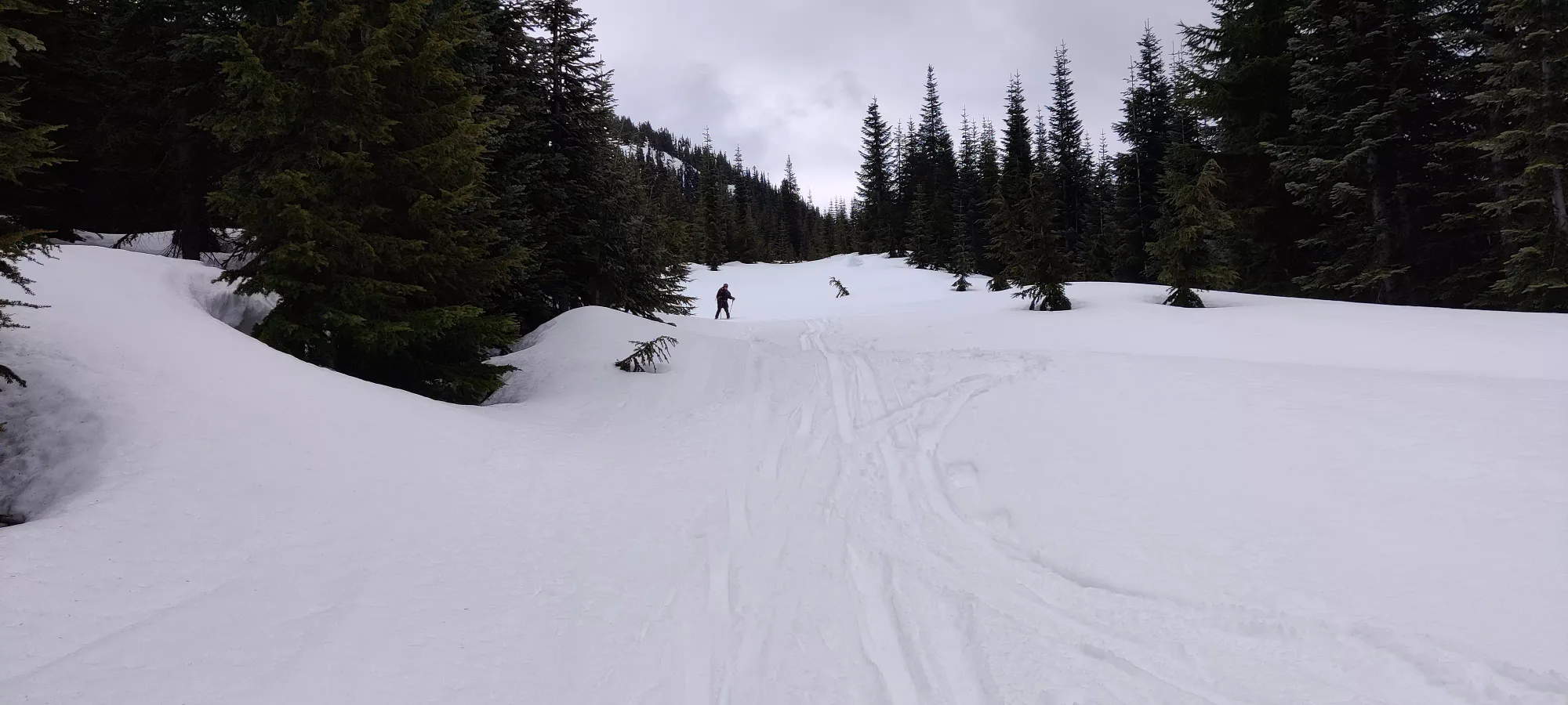
This continued for a while, with not much of note going on. The one amusing thing was the snow was so sticky that when i hit flat/uphill sections, I could actually put my skis in touring mode and just walk up, no skins required. The snow was sticky enough to just hold you by itself. Terrible for the downhill, but convenient when you're forced to walk😂.
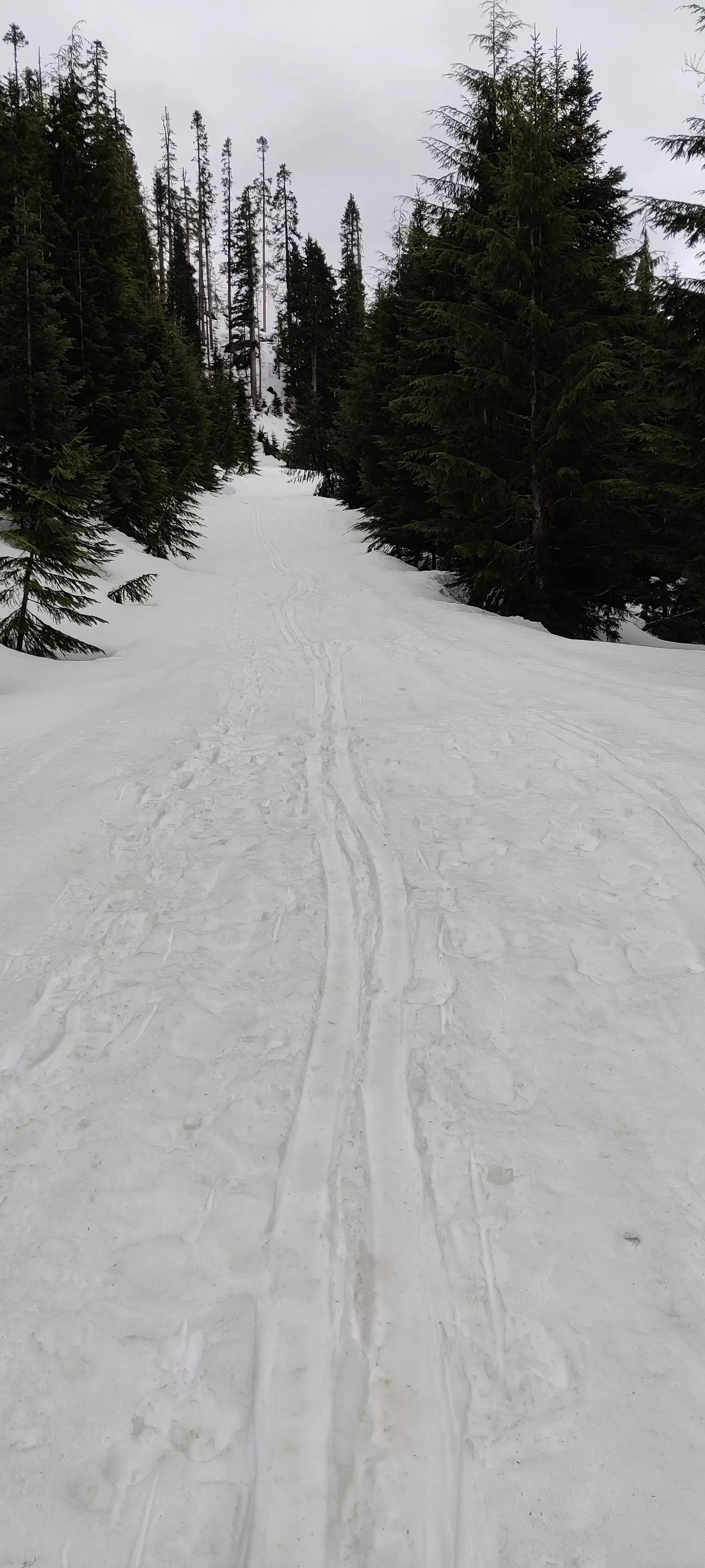
I continued this past even where I put my skis on for the uphill, over the fallen tree (fun little spot on the left to jump if you have enough speed), and for the last hundred or two metres of elevation, there was enough of a rain crust to actually make the snow harder+faster, which was nice. I ended up taking my skis all the way to the snowline, where we met the first and last people we'd see all day starting their skin up, transitioned back to my shoes, and we headed back to the car, a bit later than we expected, but with another peak down.
Normally this would be the end of the story, but we had one last thing to add after the drive back to the main FSR: these cross-ditches are higher on the downhil side than the uphill side, by quite a bit. So despite my car being fine going up as far as I took it, I definitely buried my nose and ran out of clearance a couple times on the way down (I drive a 2013 FWD Lancer). So if you have a more anemic offroader like me... just walk the extra 1.5km up/down and save your car, mine got its first "memento" from a trail on the bumper spoiler heading through one of those ditches on the way down. Thankfully it is a rather old car which I always said I plan to run into the ground, I just didn't mean it quite so literally at the time😅.
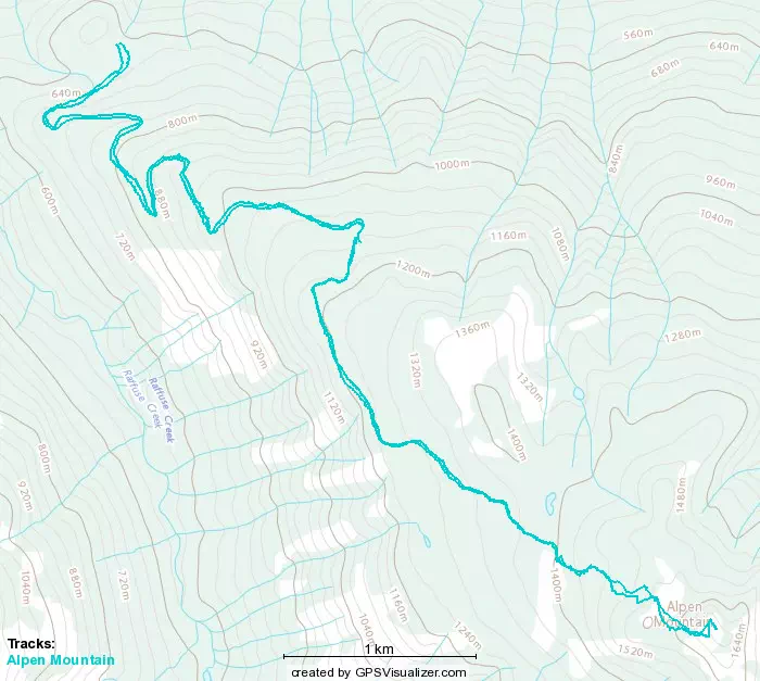
GPX Track + Map
